
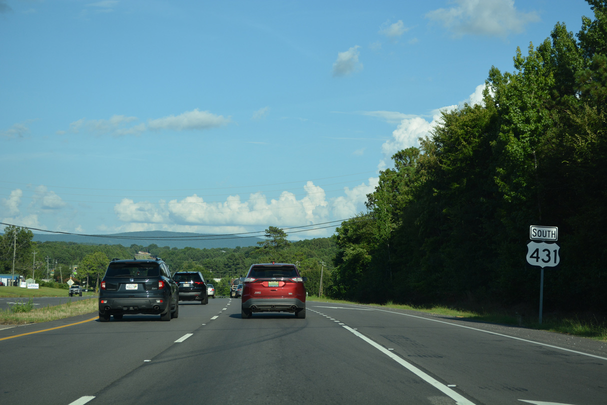
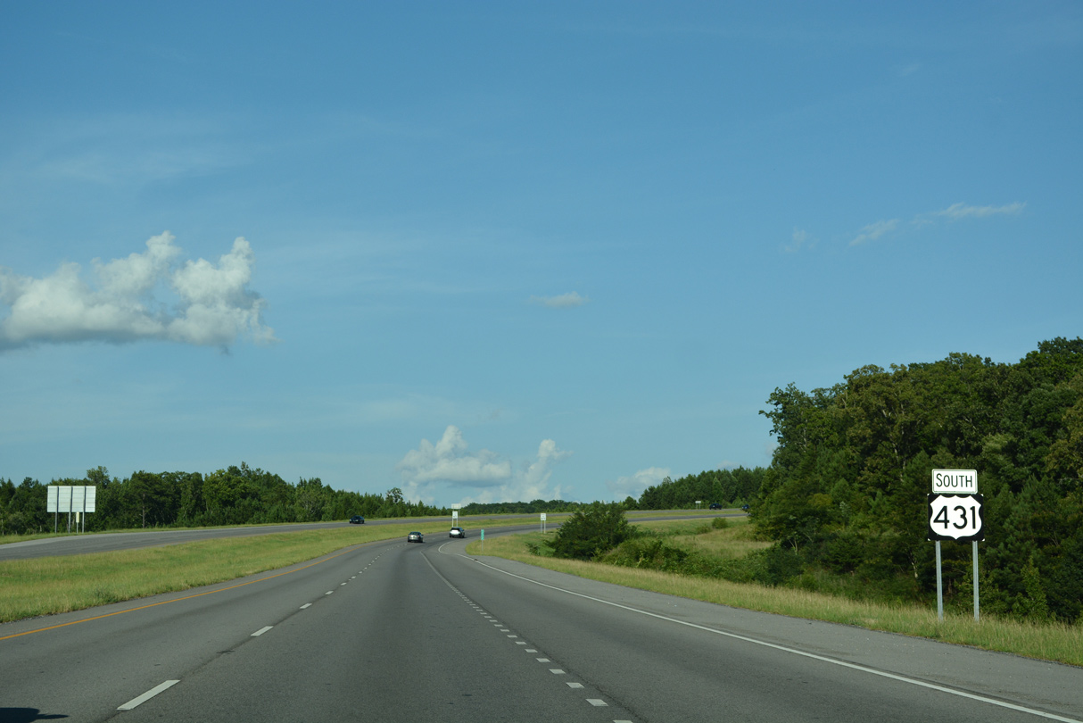
U.S. 431 South - Glencoe to Anniston

 South
South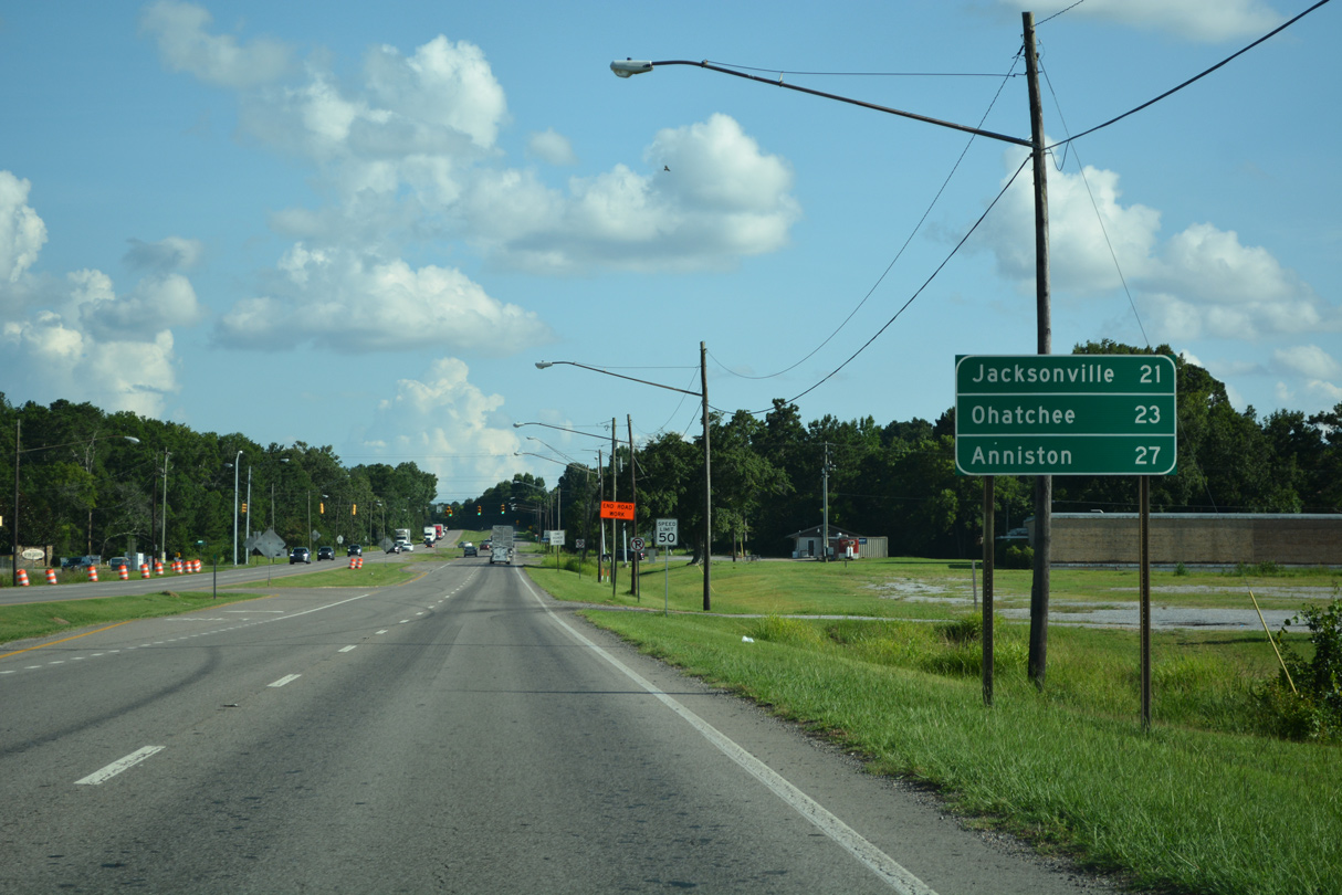
07/26/22

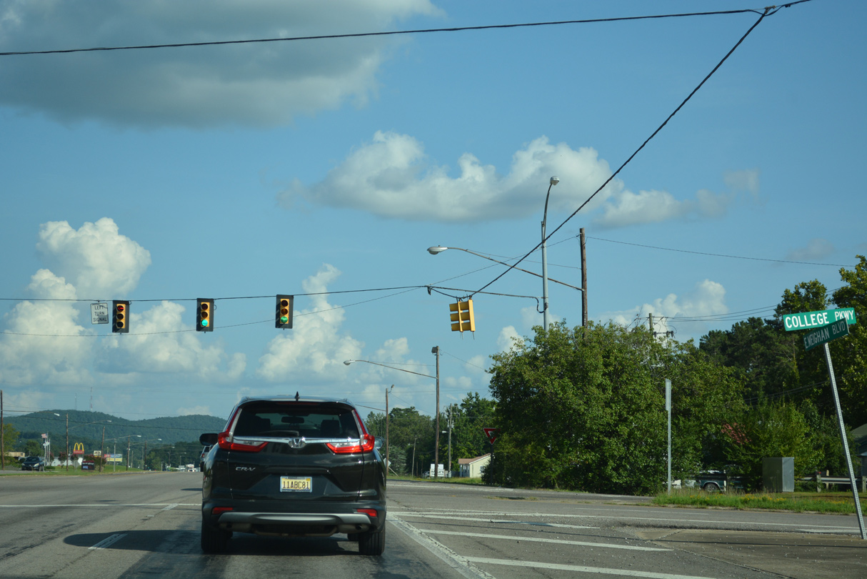
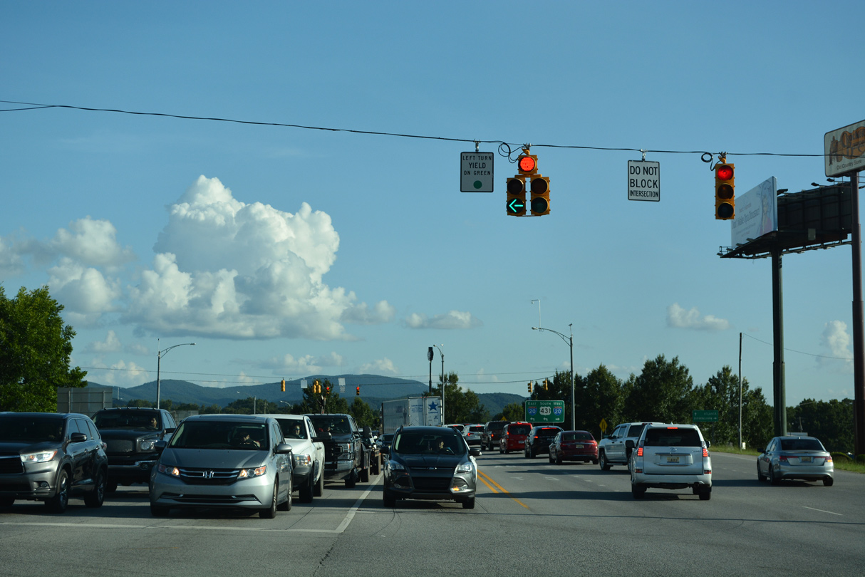
The succeeding traffic light south of U.S. 278 along U.S. 431 (Meighan Boulevard) is at Springfield Avenue.
07/26/22
07/26/22
Following a bridge spanning the Alabama and Tennessee River Railway, U.S. 431 (Meighan Boulevard) converges with the south end of Broad Street. Broad Street is the historical alignment of U.S. 431 northwest across Gadsden.
07/26/22
07/26/22
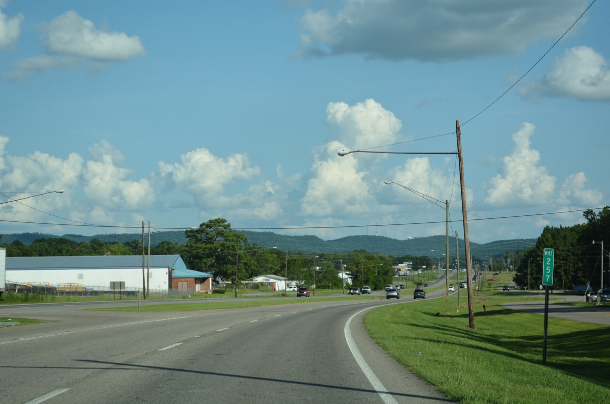
Milepost 257 for SR 1 stands along U.S. 431 south by Industrial Parkway in south Gadsden.
07/26/22
07/26/22
07/26/22
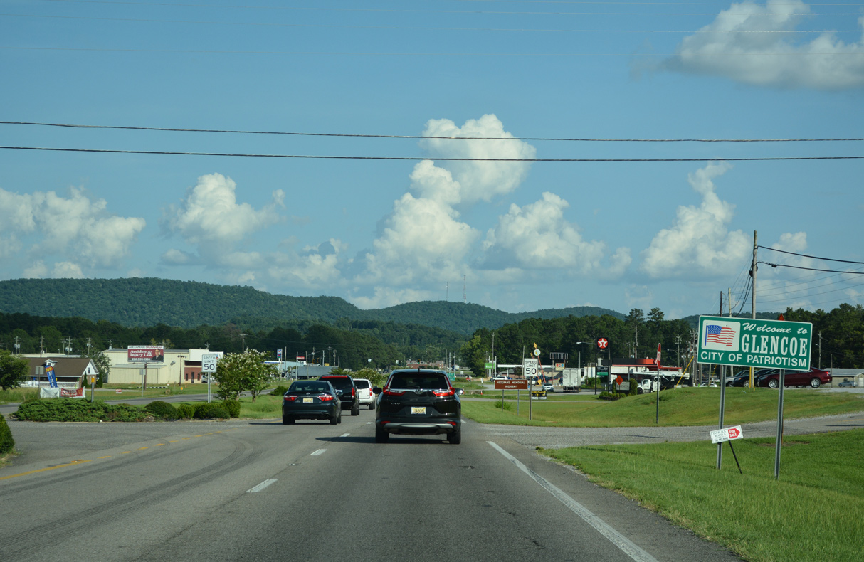
Becoming Chastain Boulevard, U.S. 431 (Meighan Boulevard) enters the city of Glencoe south at Banks Street.
07/26/22
07/26/22
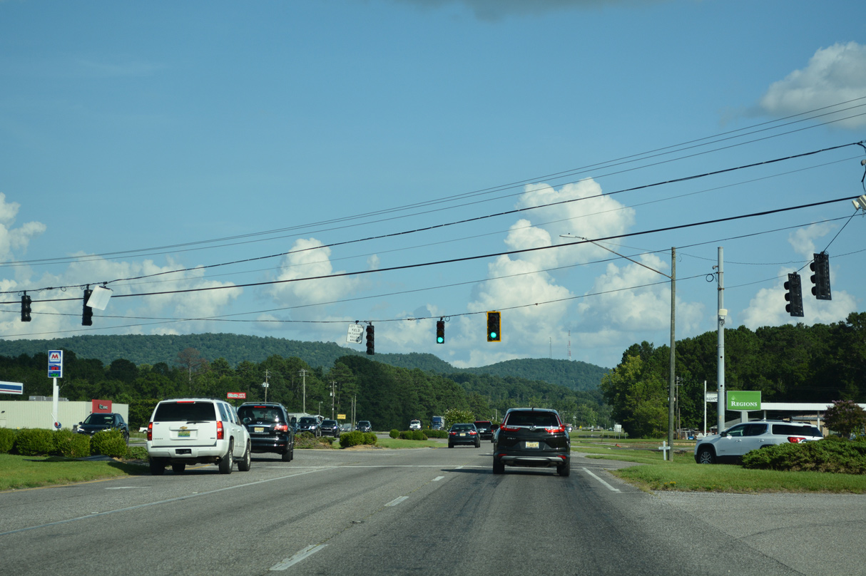
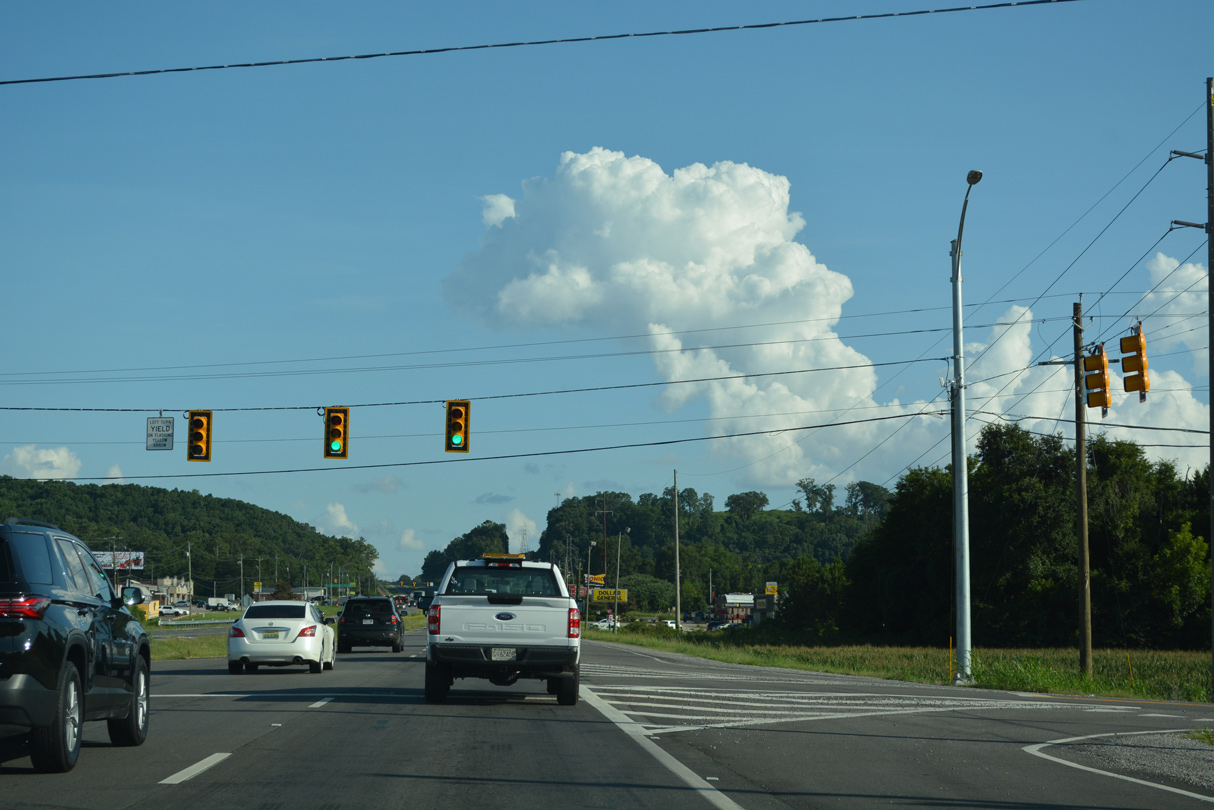
Coming into view at the signal with Air Depot Road, Colvin Mountain spreads to the south of Glencoe.
07/26/22
07/26/22
07/26/22
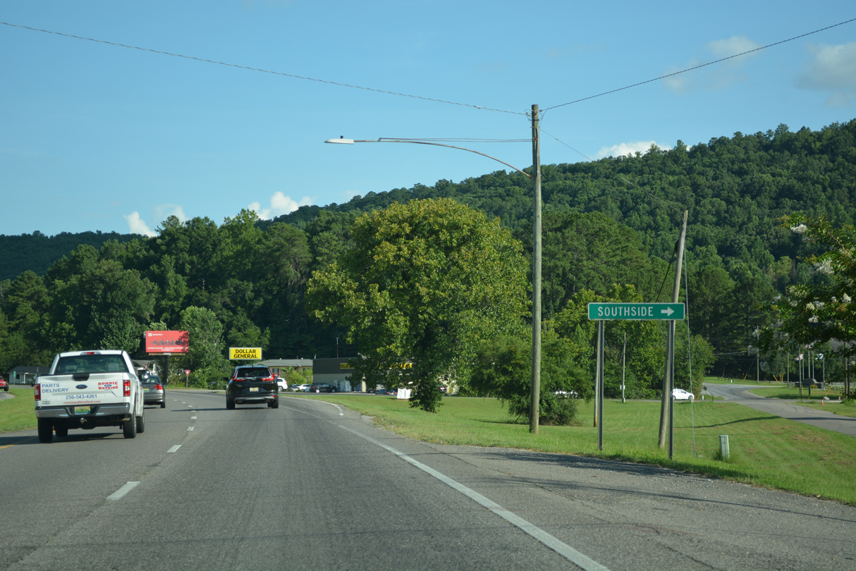
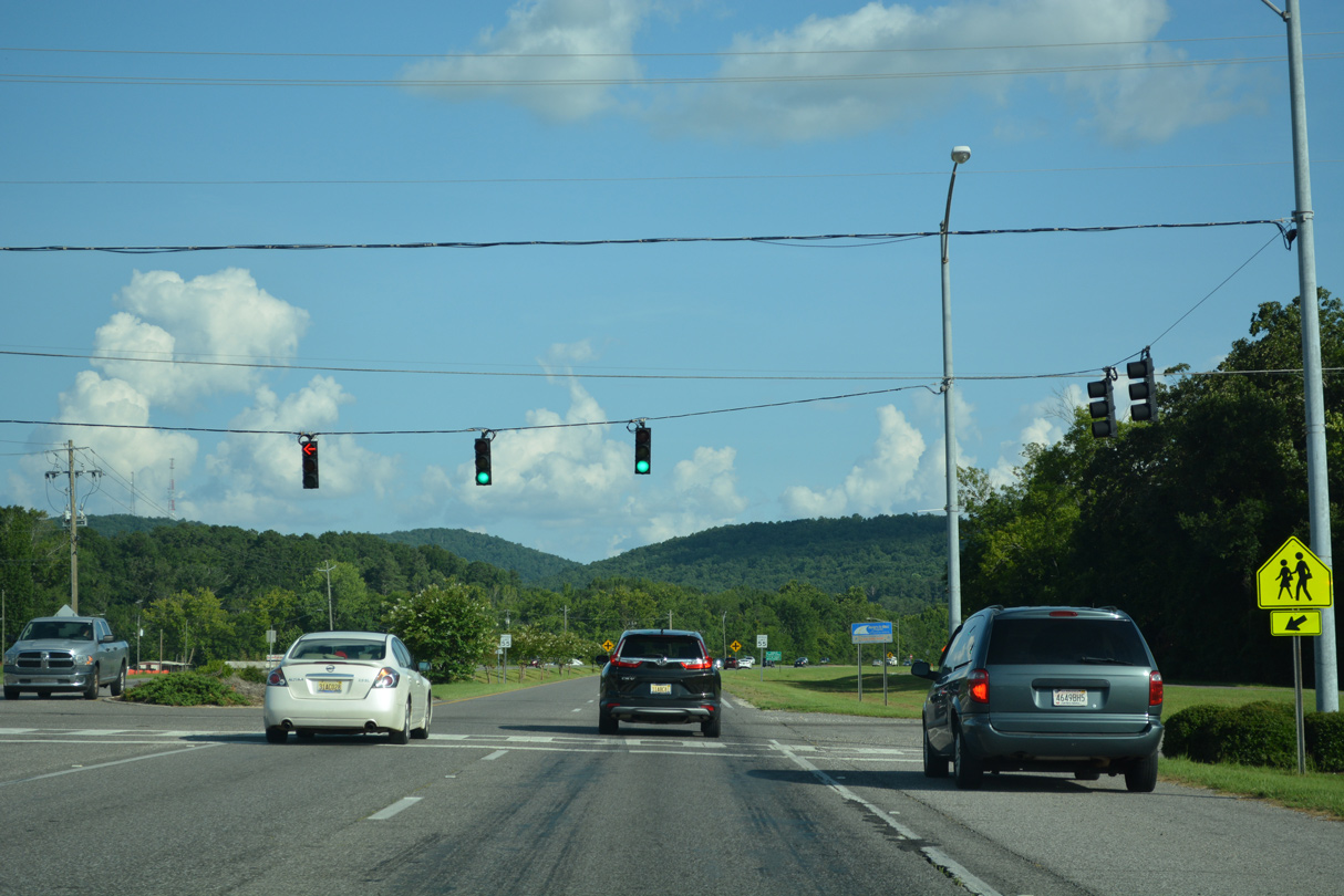
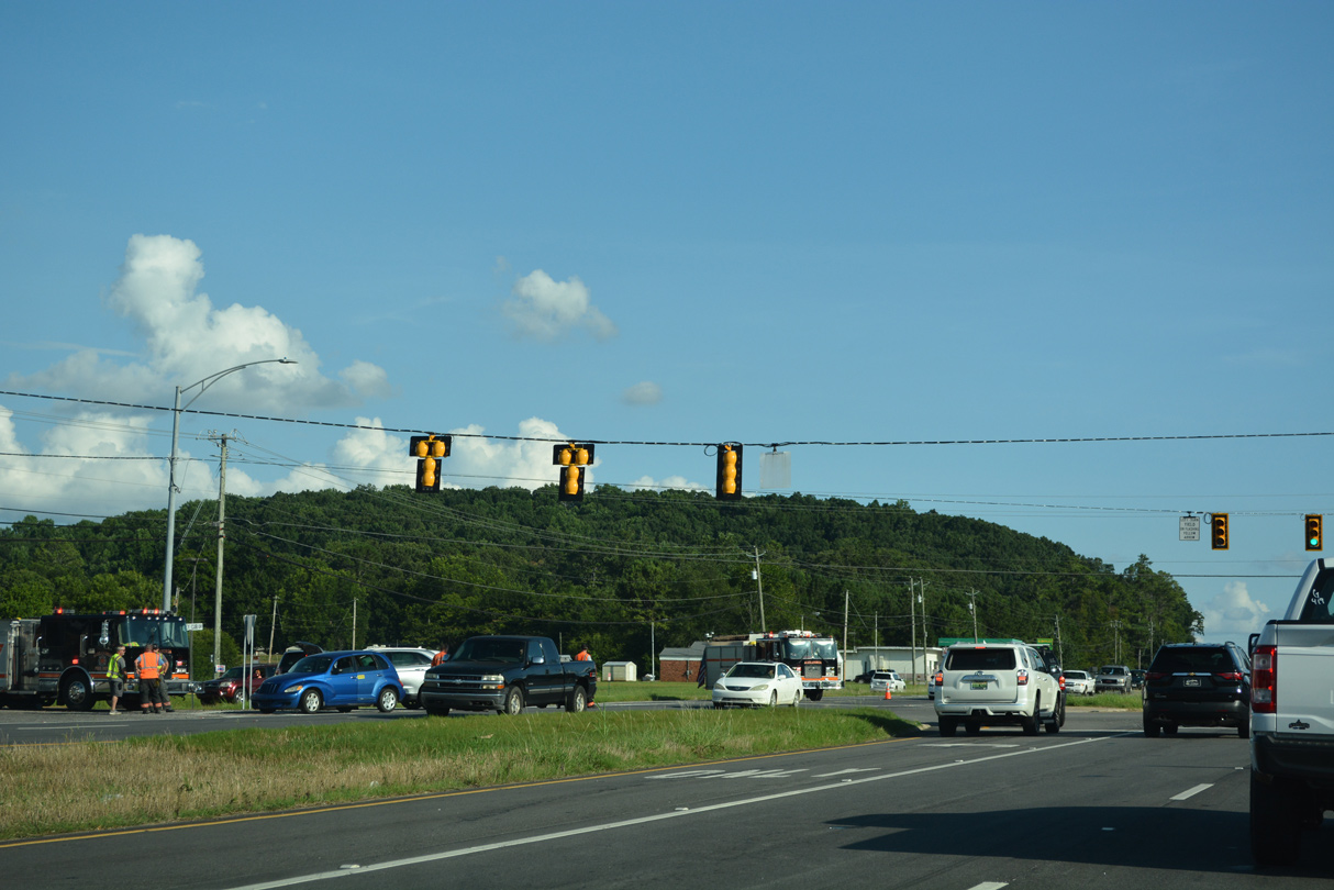
Green Valley Road stems southwest from U.S. 431 in Glencoe to the city of Southside.
07/26/22
07/26/22
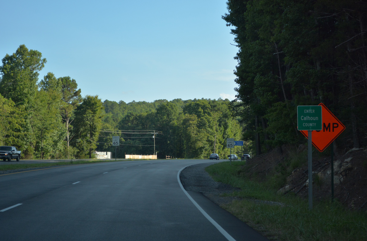
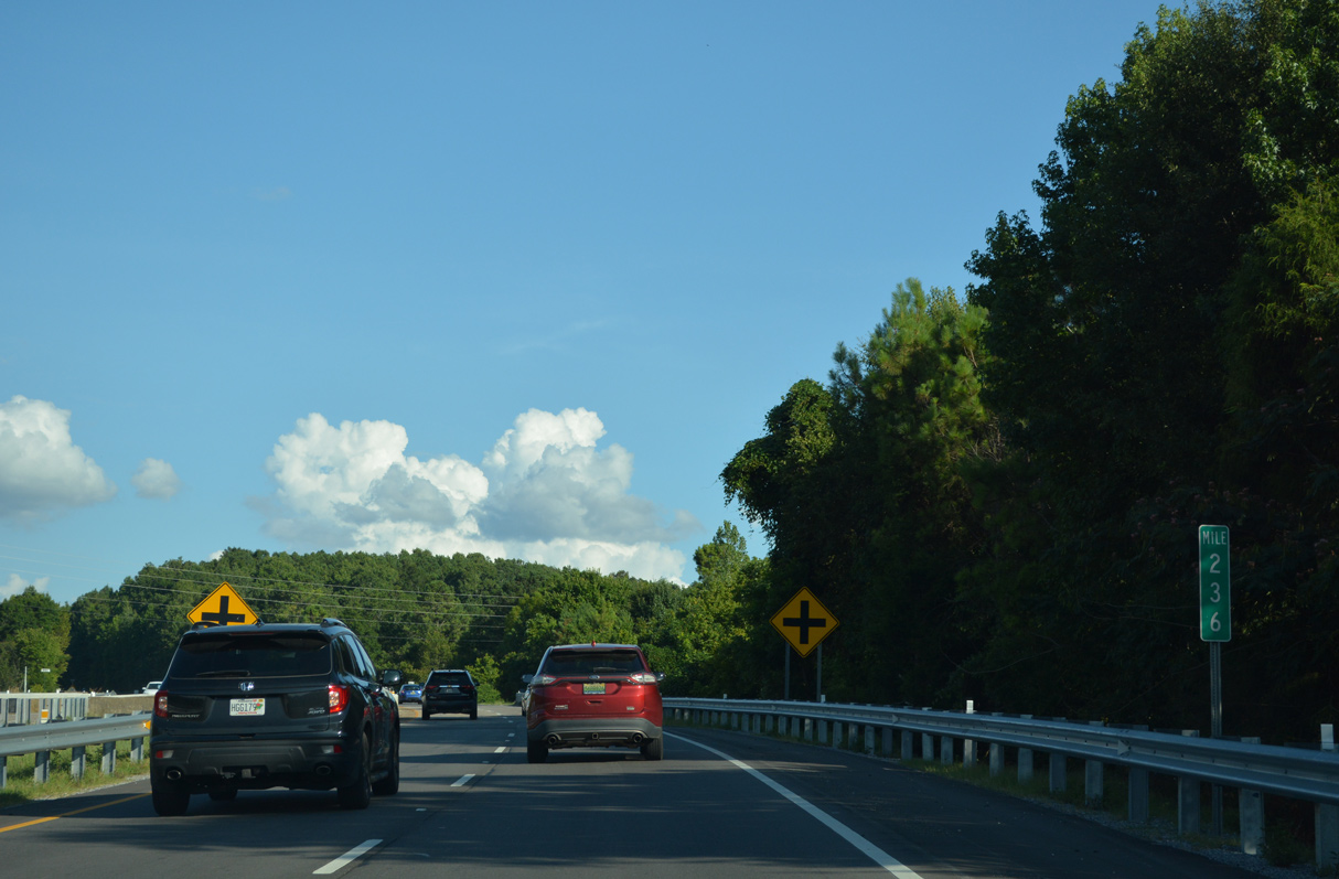
Climbing south toward Alexander Gap from Cobb, U.S. 431 crosses the Calhoun County line.
07/26/22
07/26/22
07/26/22

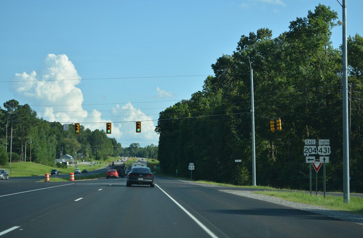
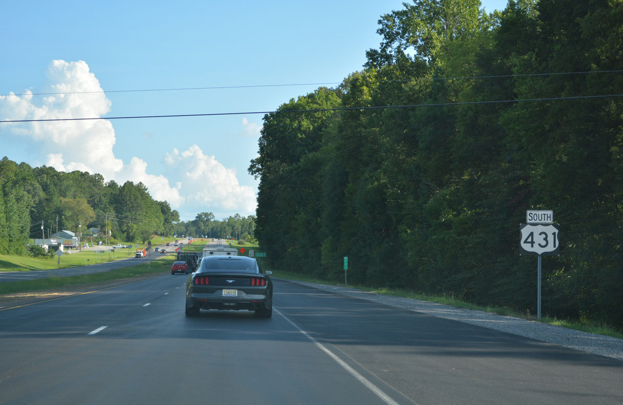
SR 204 begins east from U.S. 431 near the community of Laney.
07/26/22
07/26/22

A 9.62 mile long highway, SR 204 connects U.S. 431 with SR 21 in the city of Jacksonville.
07/26/22
07/26/22
07/26/22
07/26/22
07/26/22
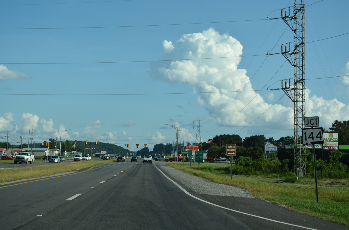
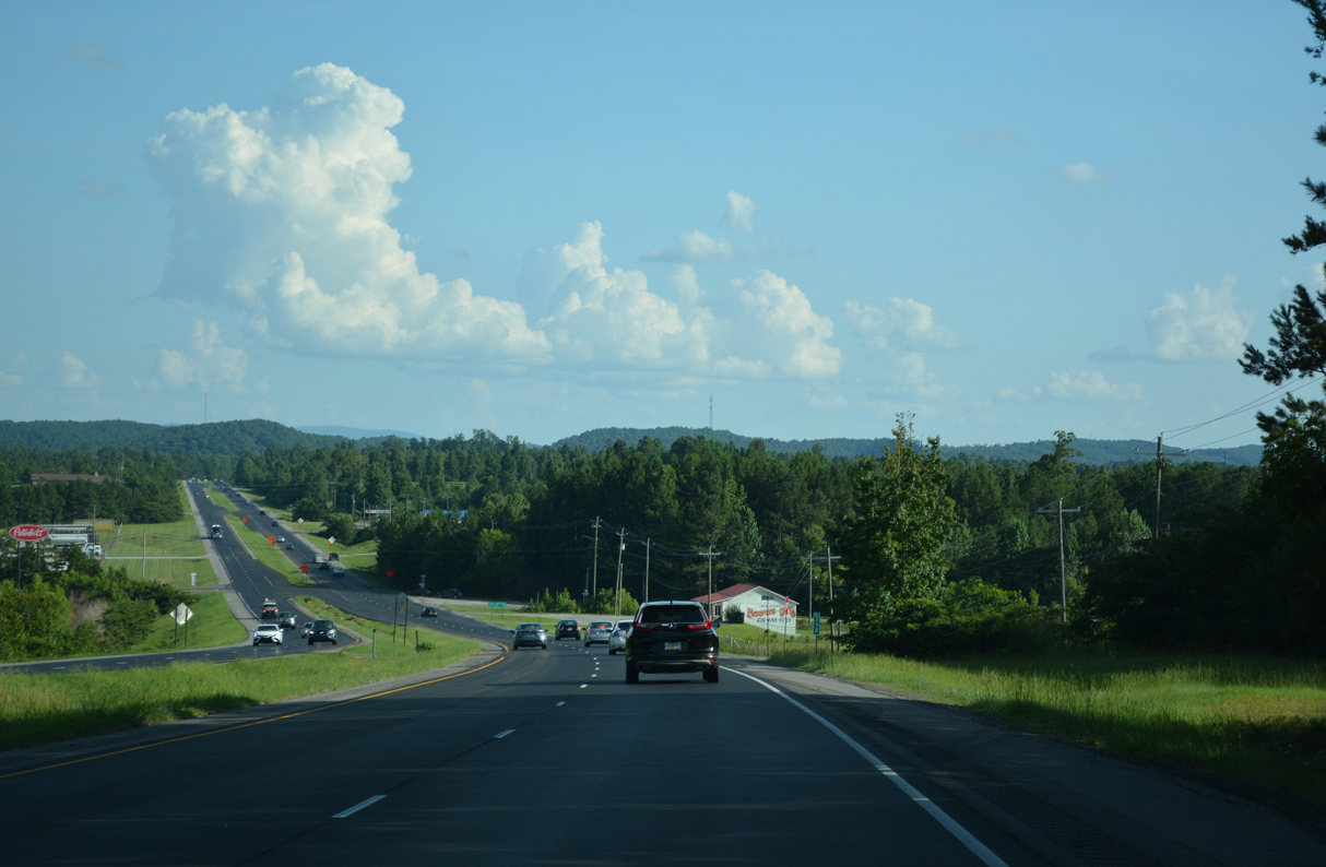
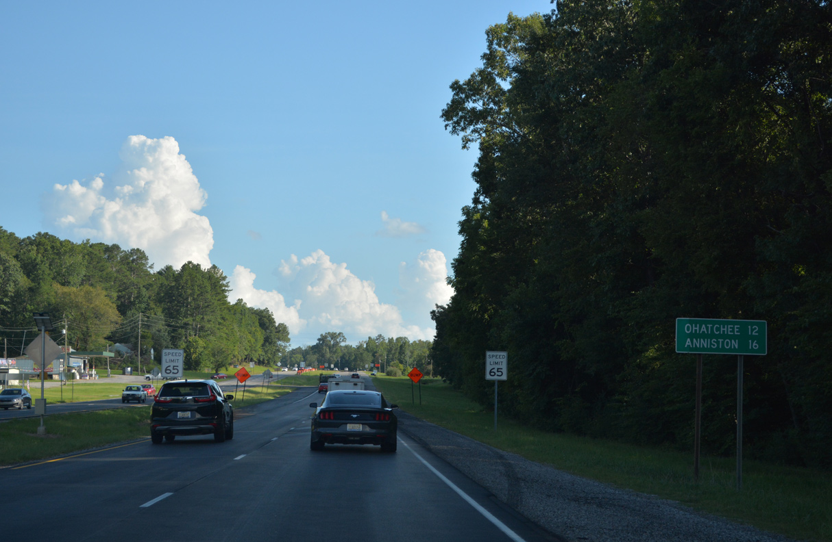
U.S. 431 advances 5.03 miles south from the west end of SR 203 to the east end of SR 144.
07/26/22
07/26/22
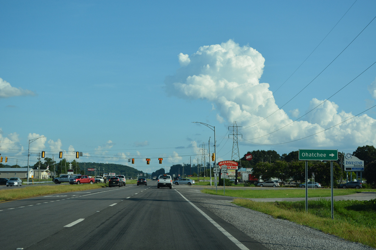
SR 144 runs 8.54 miles west from U.S. 431 at Alexandria to SR 77 in the town of Ohatchee.
07/26/22
07/26/22
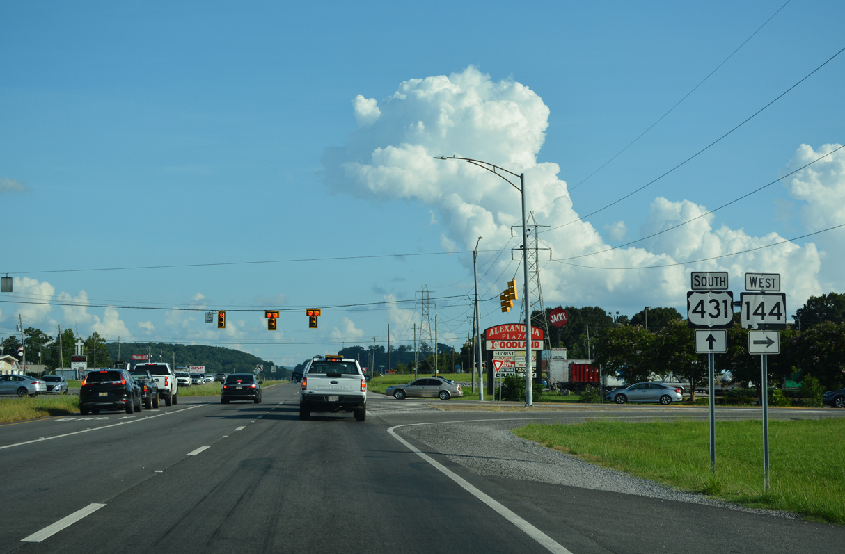
Measuring 26.66 miles overall, SR 144 extends southwest into St. Clair County to Ragland and U.S. 231 north of Pell City.
07/26/22
07/26/22
07/26/22
07/26/22

07/26/22
07/26/22
Curving east by Leatherwood, U.S. 431 continues to CR 109 (Bynum Leatherwood Road) south.
07/26/22
07/26/22
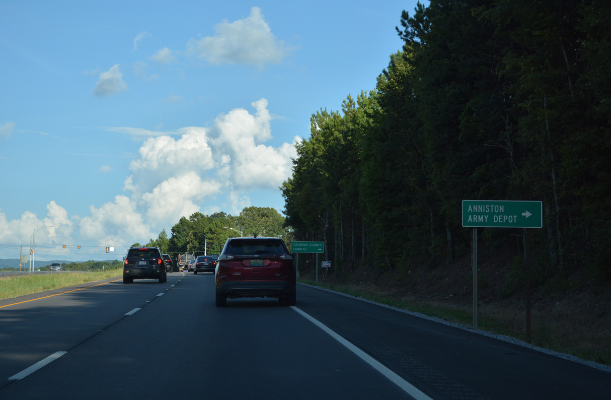
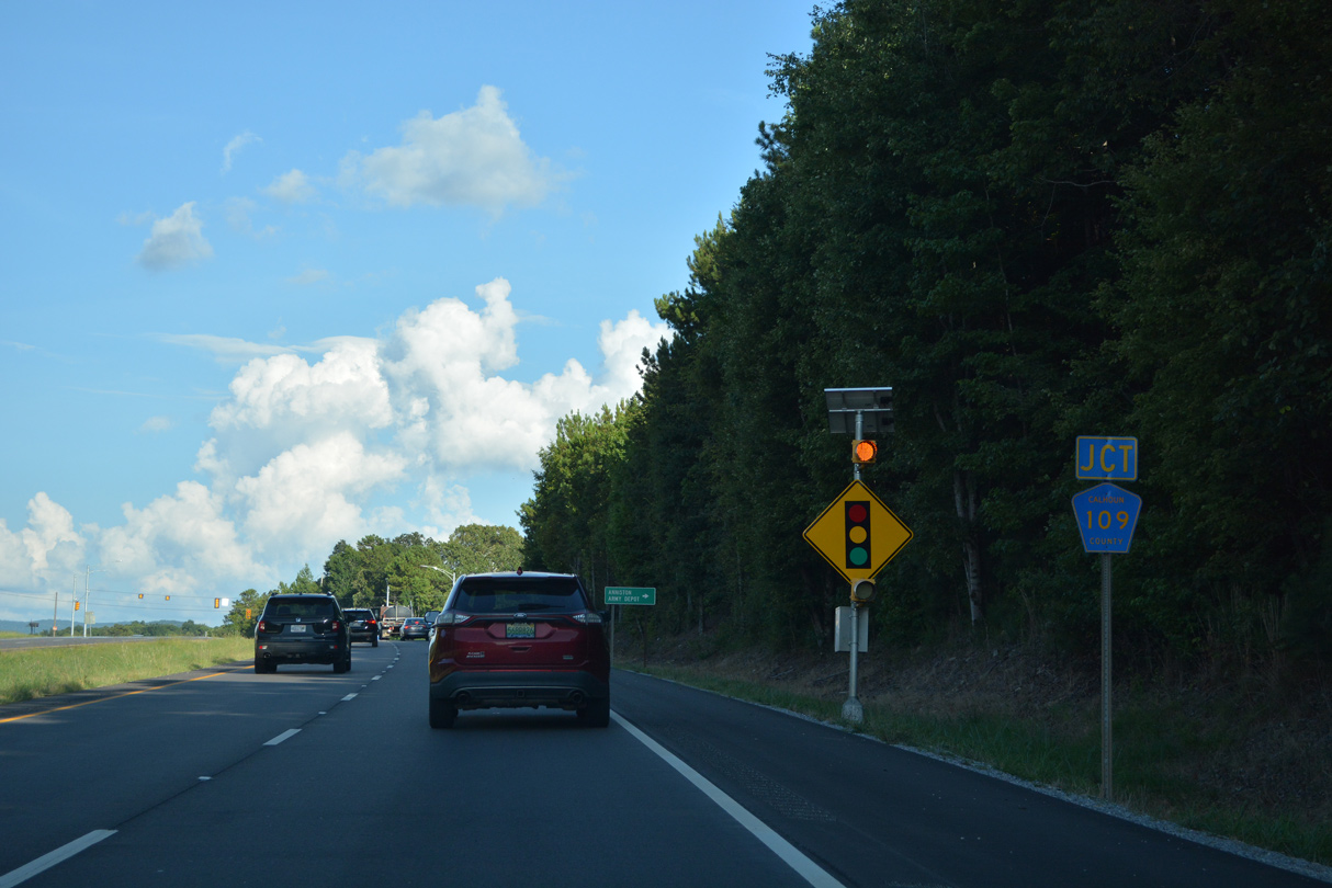
CR 109 provides a route southwest from U.S. 431 to the Anniston Army Depot at the Eulation Gate.
07/26/22
07/26/22
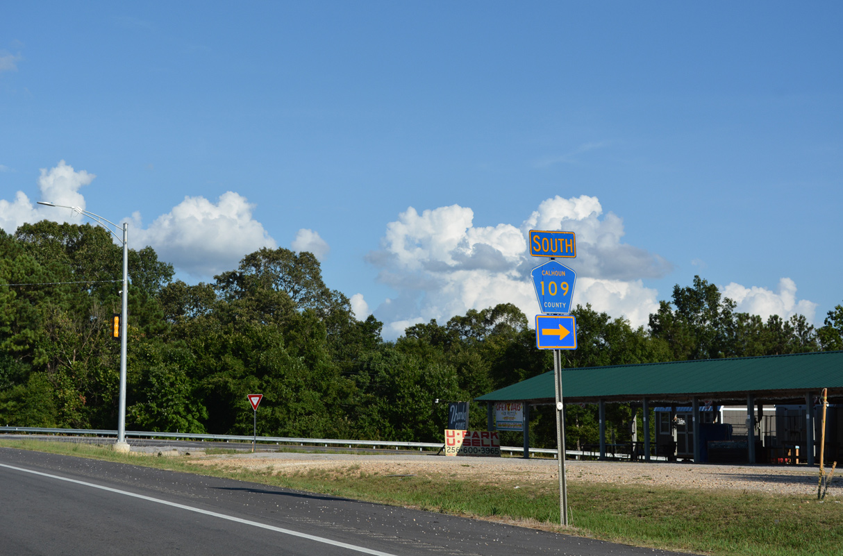
Calhoun County Route 109 (Bynum Leatherwood Road) bypasses Anniston to the west along a 6.3 mile long course to SR 202.
07/26/22
07/26/22
07/26/22
07/26/22
07/26/22
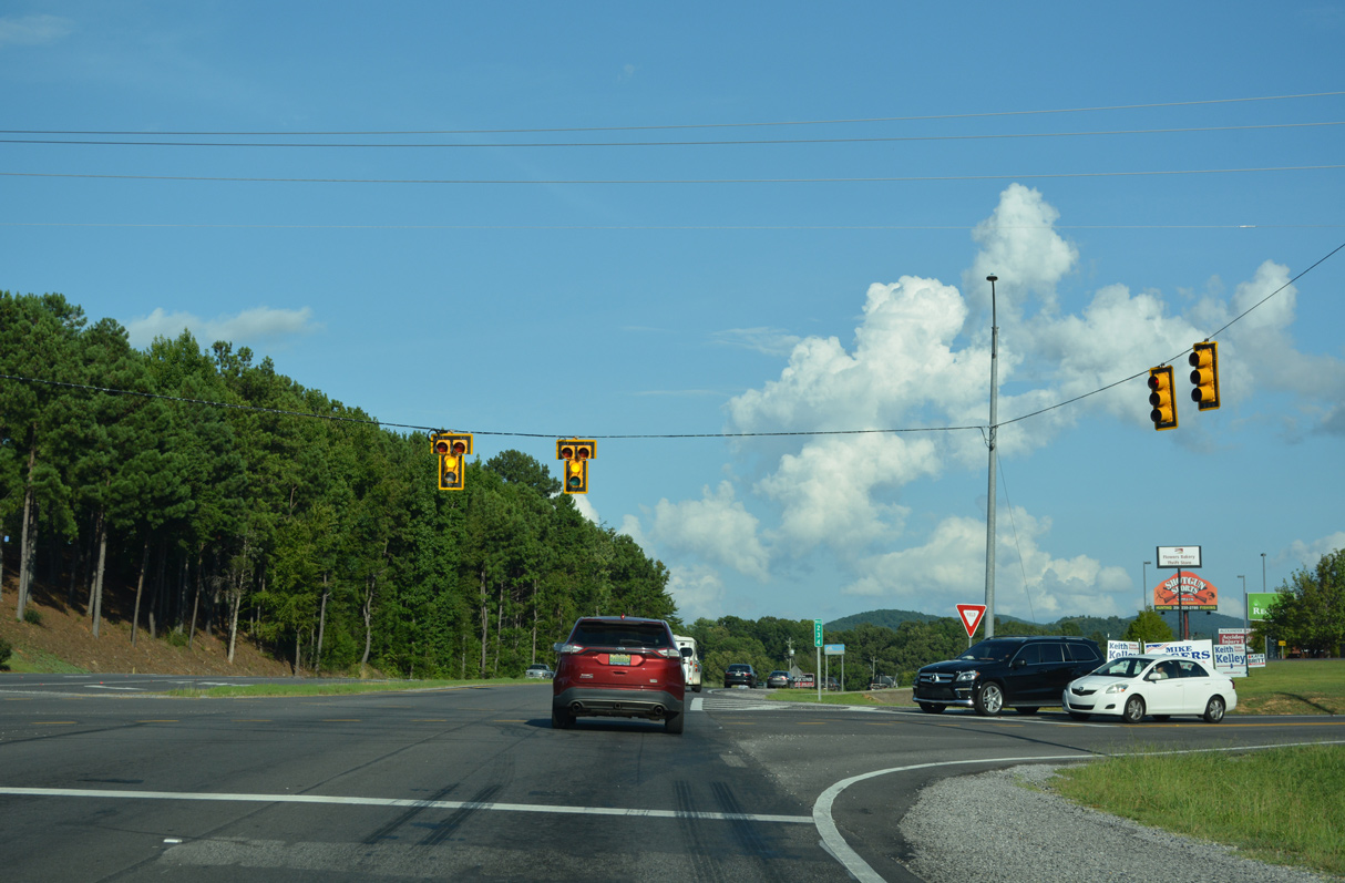
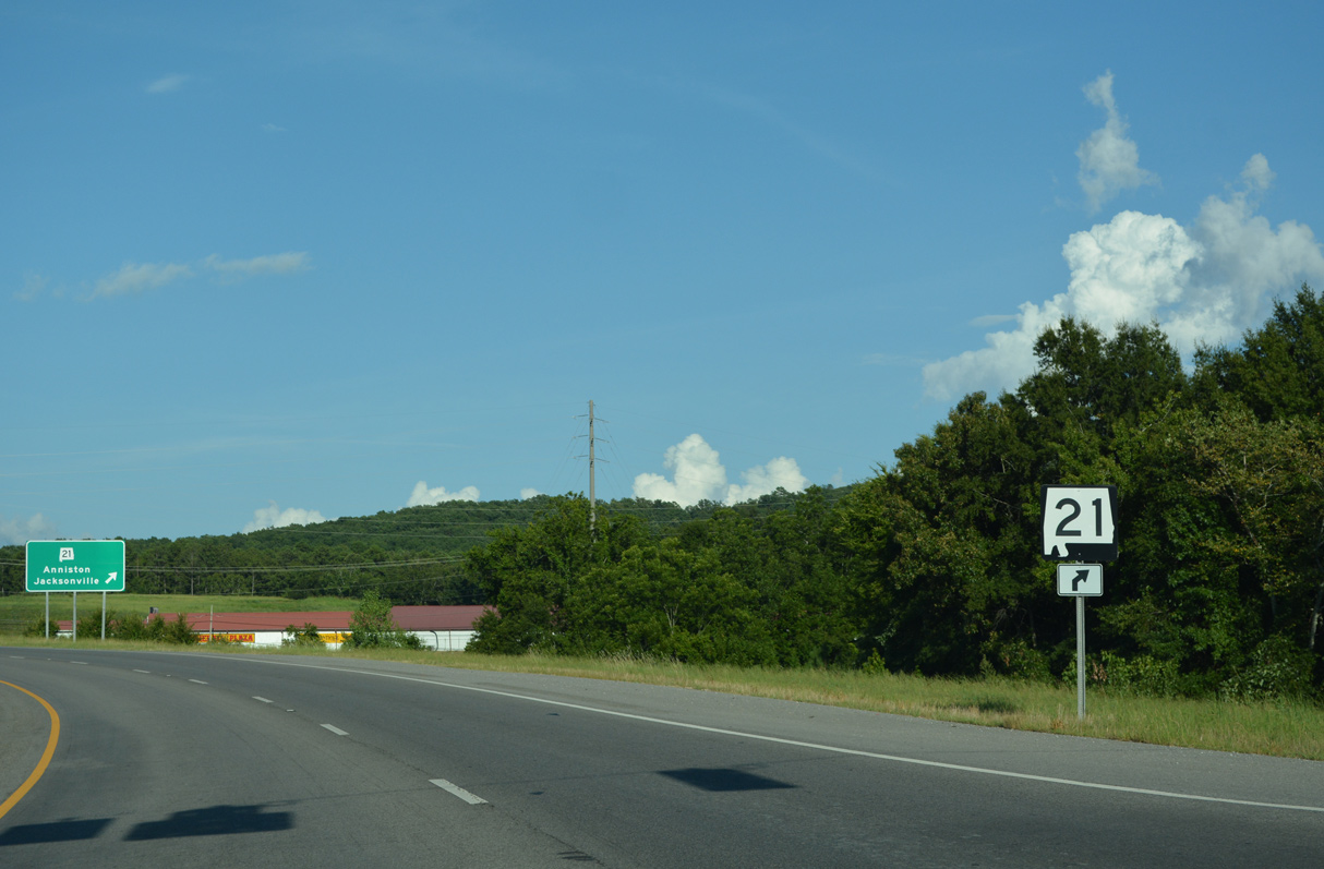
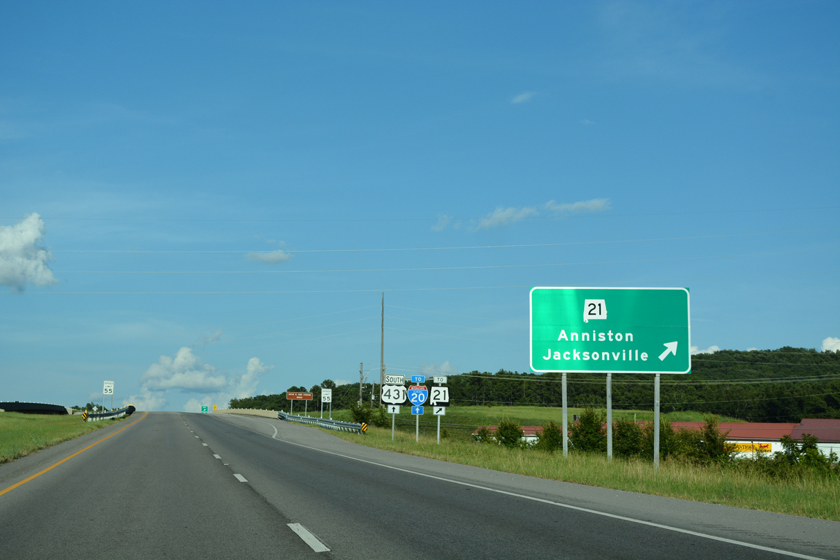
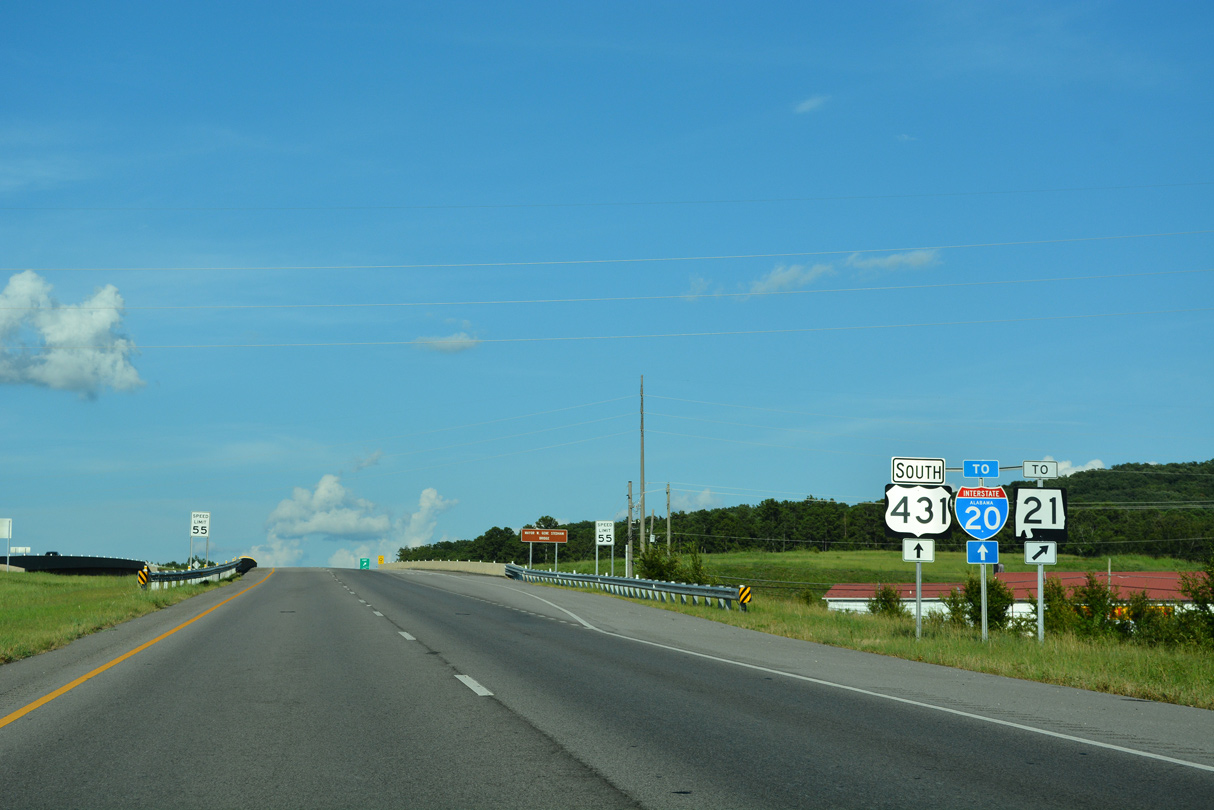
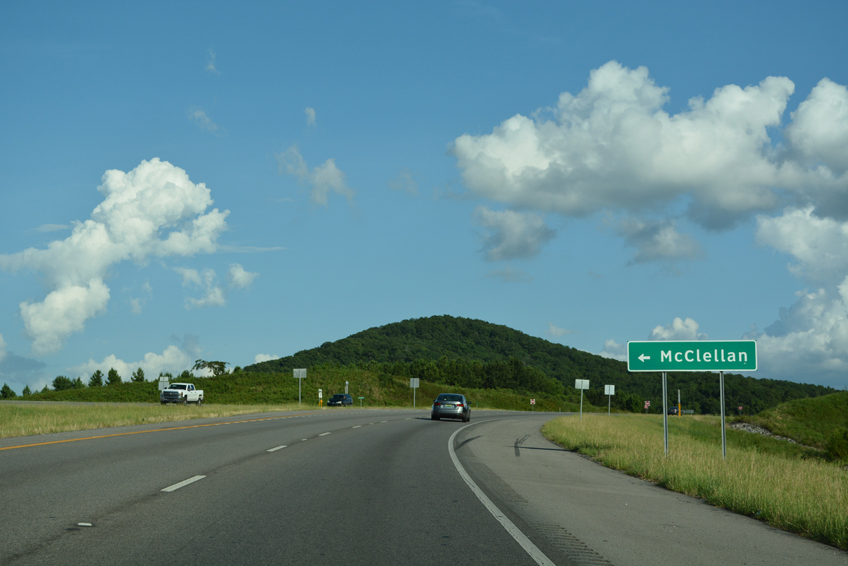
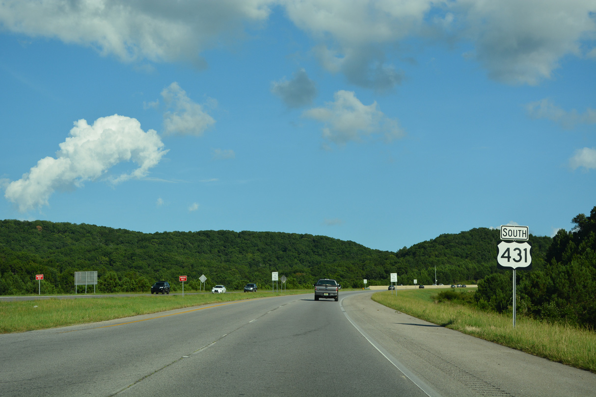
U.S. 431 converges with SR 21 (McClellan Boulevard) at the north end of the Anniston Eastern Bypass.
07/26/22
07/26/22
07/26/22
Old U.S. 431 provides a cut off south from U.S. 431 at Lindale Drive to SR 21 (McClellan Boulevard) south to Downtown Anniston.
07/26/22
07/26/22
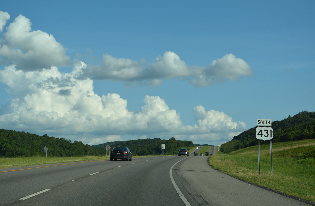
U.S. 431 formerly overlapped with SR 21 south to U.S. 78 east in Oxford.
07/26/22
07/26/22
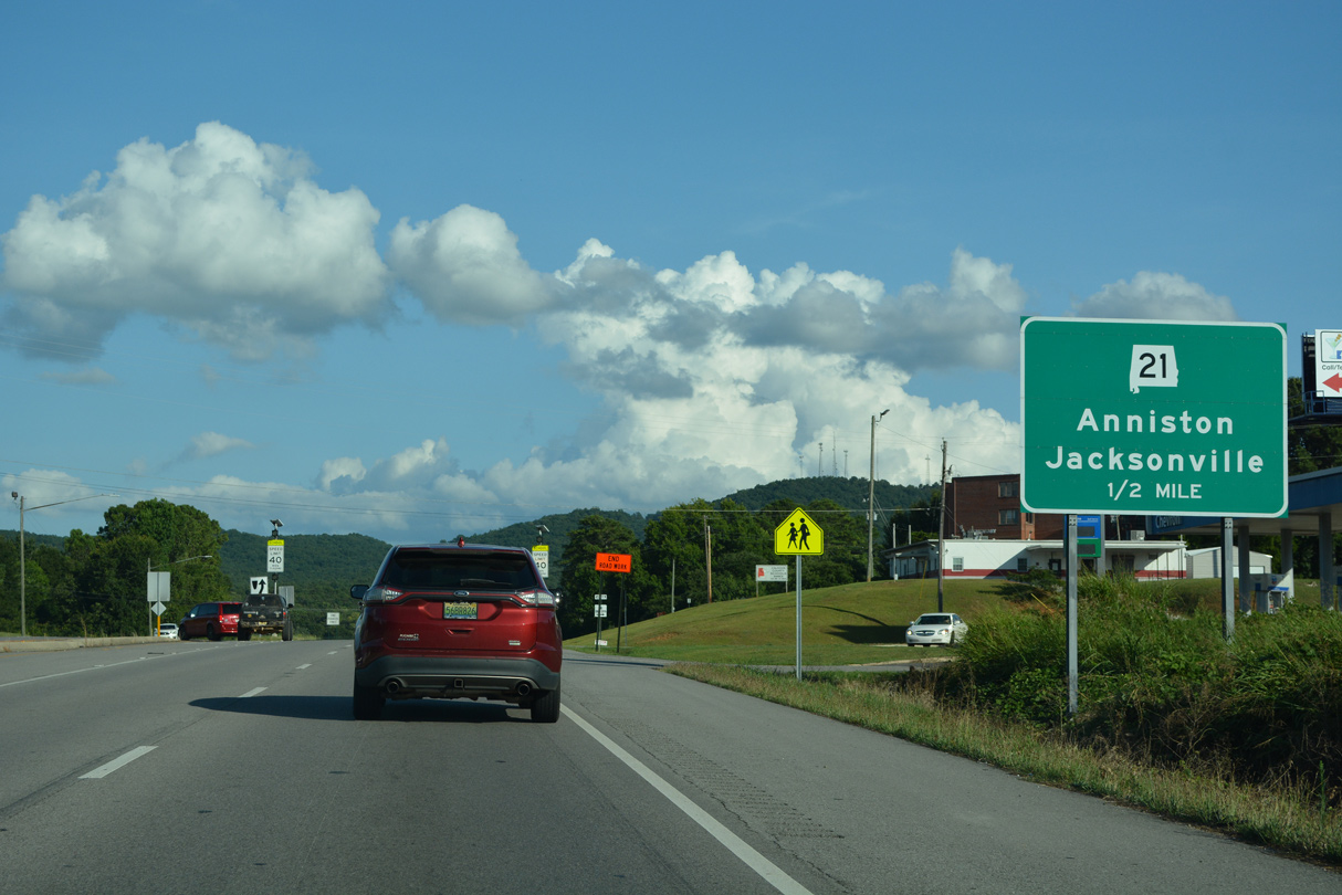
SR 21 travels northeast from Anniston to Jacksonville and U.S. 278 at Piedmont.
07/26/22
07/26/22
U.S. 431 shifts onto Veterans Memorial Parkway from the folded diamond interchange with SR 21 (McClellan Boulevard) southward through the hills overlooking Anniston.
07/26/22
07/26/22
07/26/22
07/26/22
07/26/22

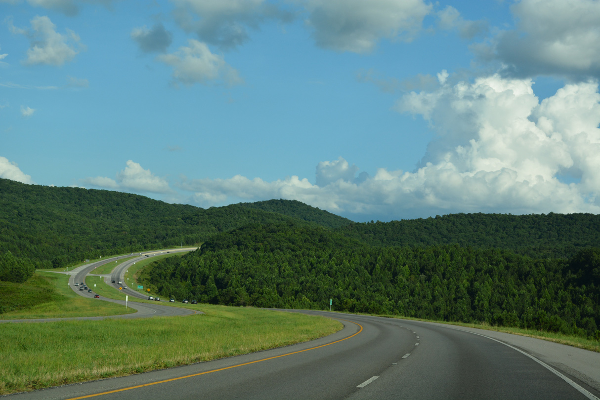
Curving east to circumvent the Twin Mountains, U.S. 431 passes between Reynolds Hill and Cable Hill.
07/26/22
07/26/22
U.S. 431 intersects Iron Mountain Road northwest of Ryther Hill.
07/26/22
07/26/22
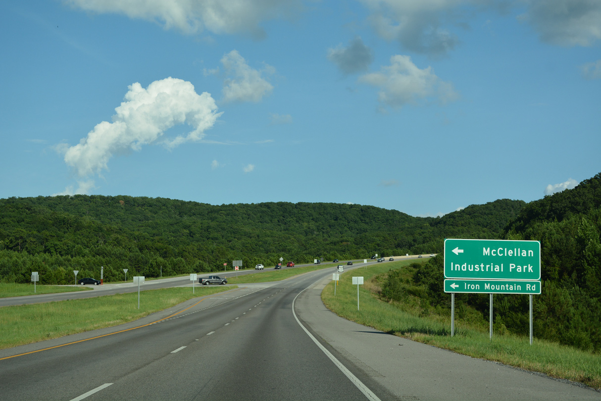
Iron Mountain Road leads north to McClellan Industrial Park within the former Fort McClellan Military Reservation.
07/26/22
07/26/22
07/26/22
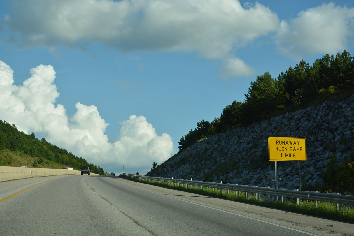
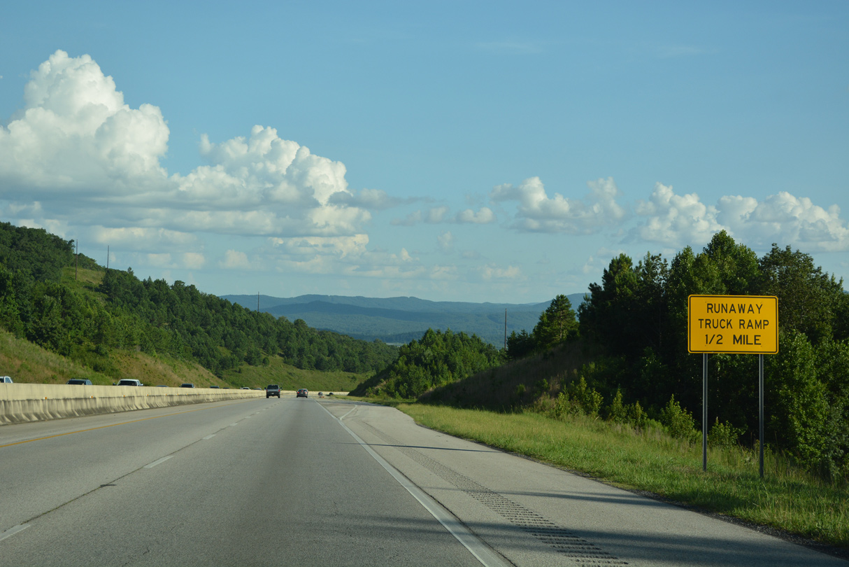
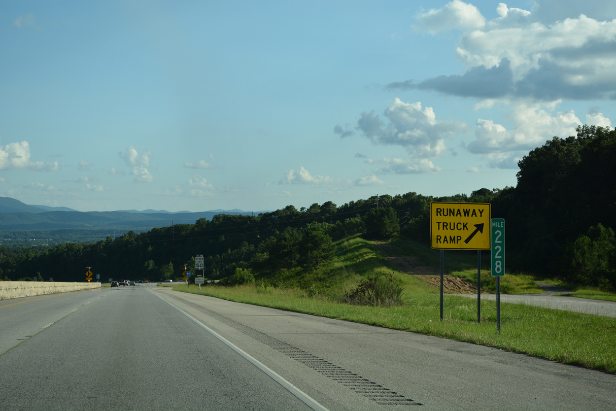
A runaway truck ramp lines the descent south from Mt. Royal.
07/26/22
07/26/22

Navigating south between Mt. Royal and Davis Hill, U.S. 431 lowers at a 6% grade.
07/26/22
07/26/22
07/26/22
07/26/22
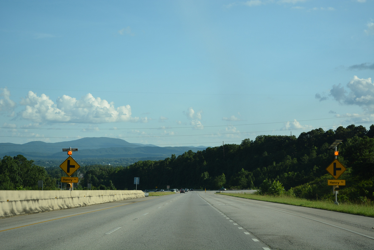
The south end of the Anniston Eastern Bypass ties into Henry Road.
07/26/22
07/26/22

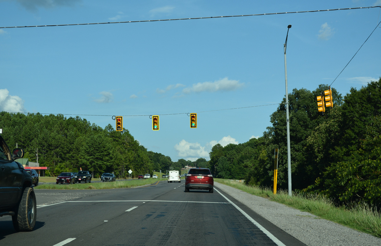
The first traffic light along U.S. 431 (Henry Road) south since the signal prior to SR 21 operates at Coleman Road west and Choccolocco Road east.
07/26/22
07/26/22
07/26/22

South from Coleman Road, U.S. 431 follows Golden Springs Road.
07/26/22
07/26/22
07/26/22
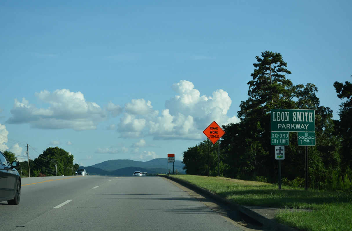
Entering the city of Oxford, U.S. 431 (Golden Springs Road) south becomes Leon Smith Parkway.
07/26/22
07/26/22

U.S. 431 (Leon Smith Parkway) proceeds south across a viaduct spanning a Norfolk Southern Railroad line and U.S. 78.
07/26/22
07/26/22
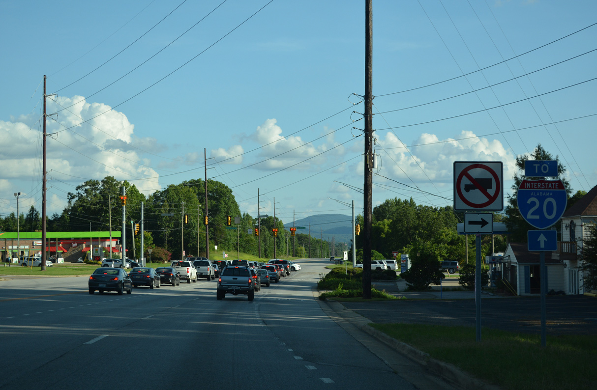
A short access road connects U.S. 431 (Leon Smith Parkway) at Jimmy Hinton Drive west with U.S. 78. The diamond interchange where U.S. 431 turns east alongside Interstate 20 follows.
07/26/22
07/26/22
Photo Credits:
- Alex Nitzman, JP Nasiatka: 07/26/22
Connect with:
Page Updated Monday August 22, 2022.