
U.S. 431 South - Boaz to Attalla

 South
South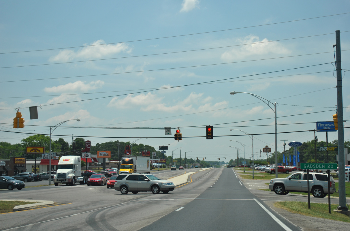
U.S. 431 (Florida Short Route) intersects Bethsaida Road just south of SR 168 (Mill Road). The distance sign posted 20 miles from Gadsden here was removed in 2019.
06/25/12
06/25/12
06/25/12
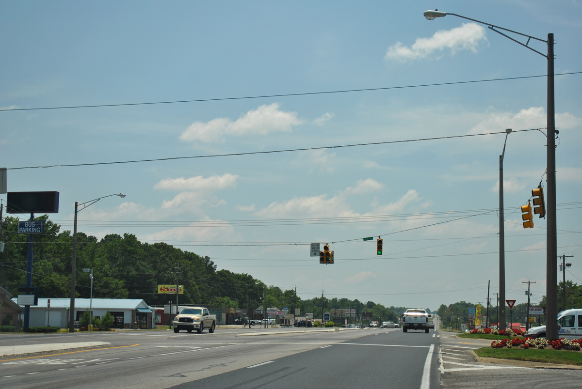
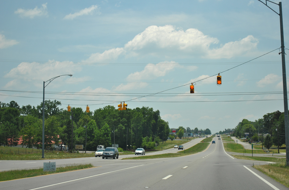
Denson Avenue east and Roden Avenue west come together at the succeeding traffic light on U.S. 431 southbound.
06/25/12
06/25/12
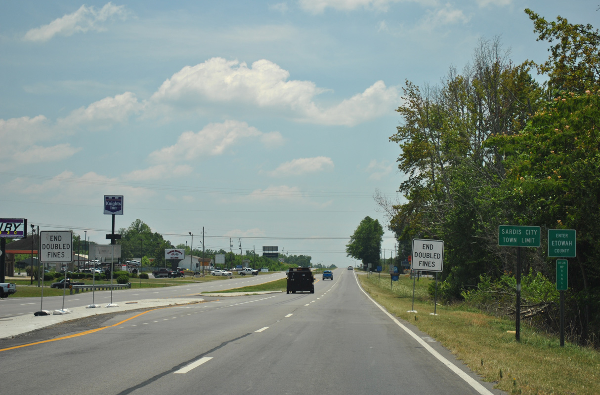
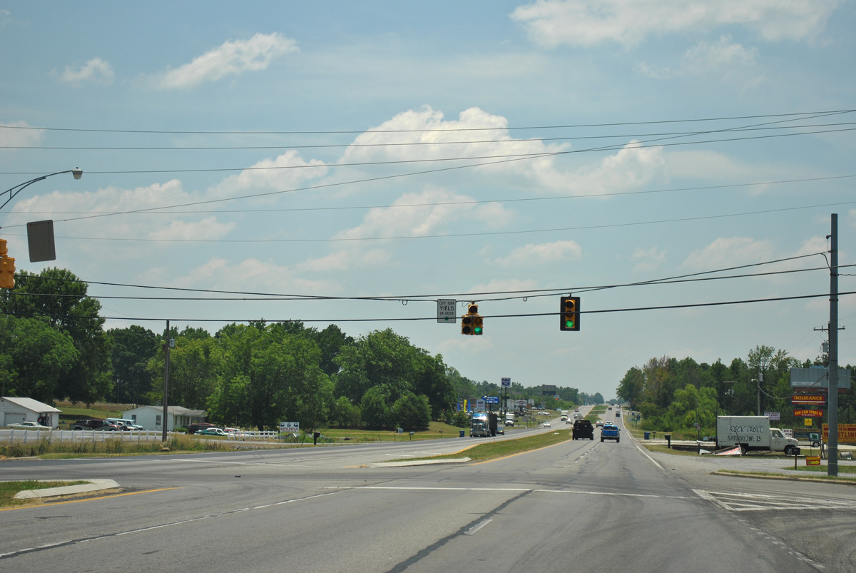
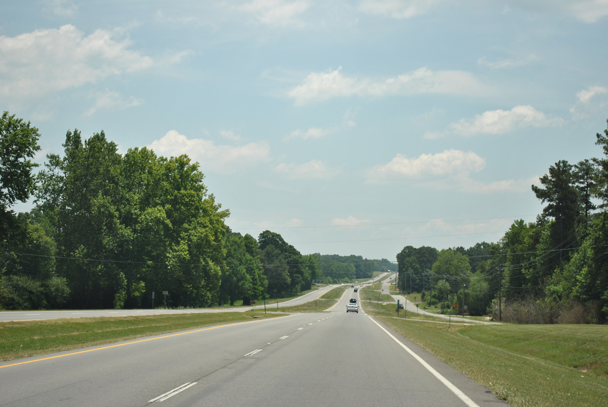
Entering Etowah County, U.S. 431 passes through western reaches of the Sardis City town limits.
06/25/12
06/25/12
06/25/12
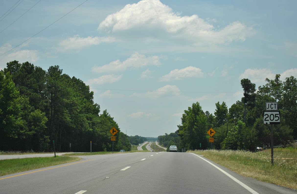
U.S. 431 meets the south end of SR 205 just beyond Cox Gap Road in Sardis City.
06/25/12
06/25/12
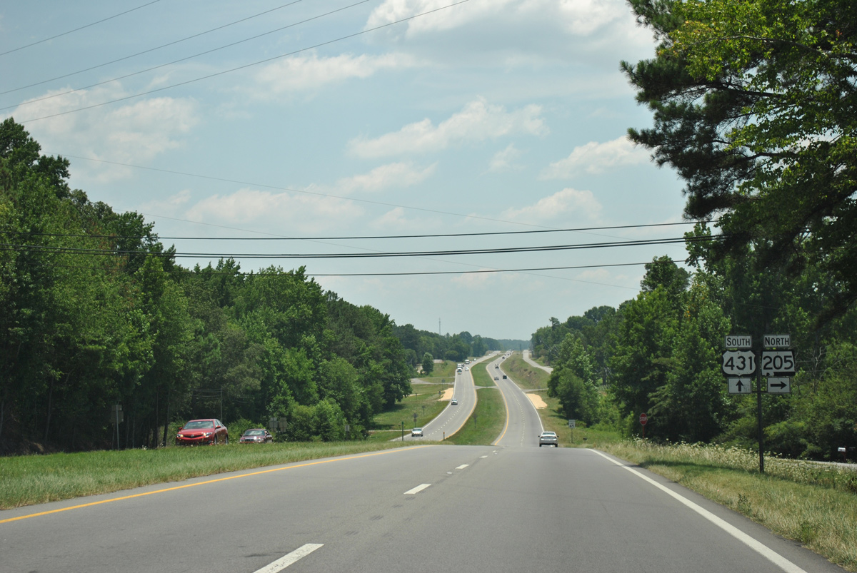
SR 205 runs 12.84 miles north through Boaz and Albertville back to U.S. 431 in south Guntersville.
06/25/12
06/25/12
06/25/12
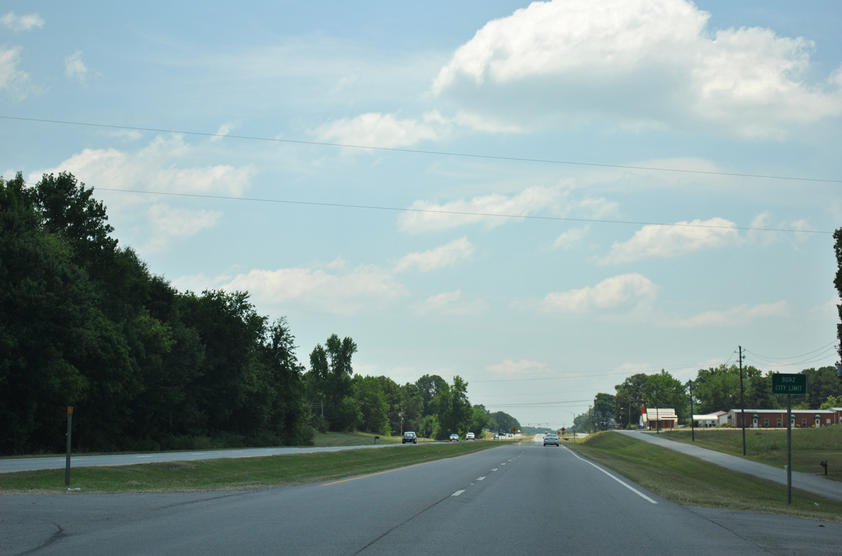
U.S. 431 reenters the Boaz city limits south through the Mountainsboro community.
06/25/12
06/25/12
06/25/12
06/25/12
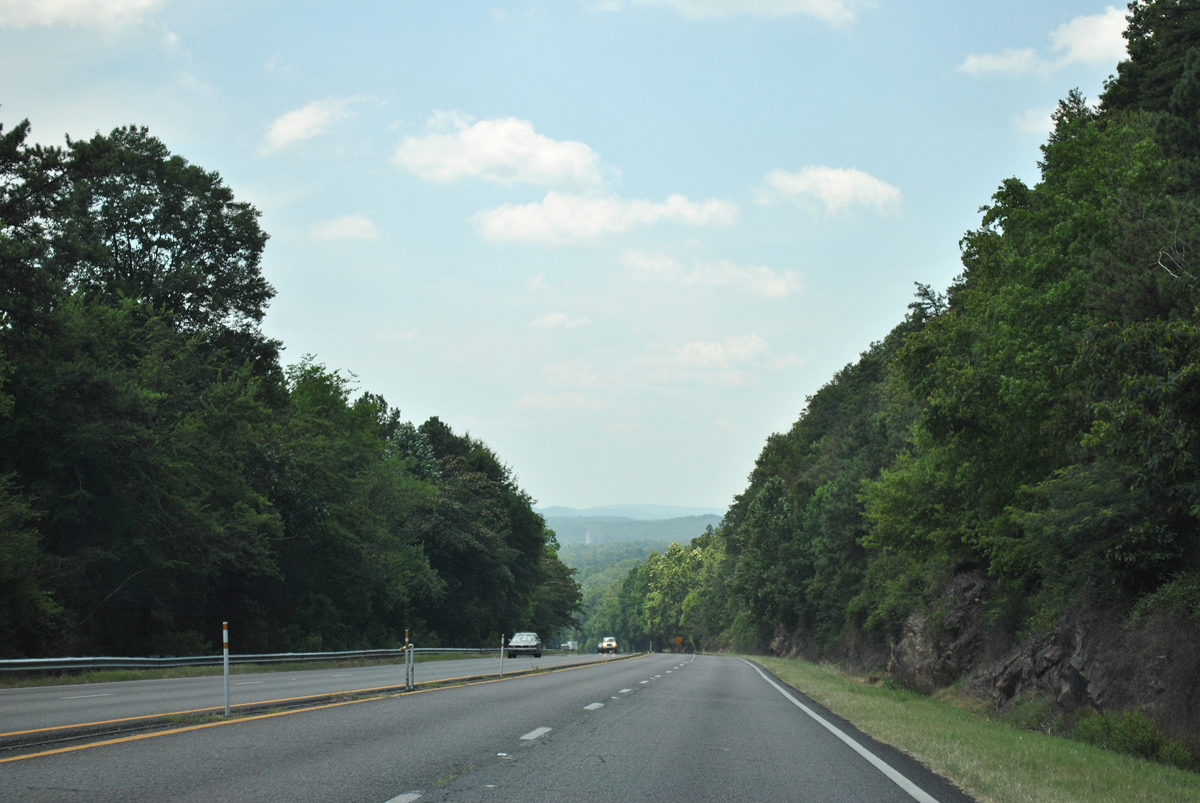
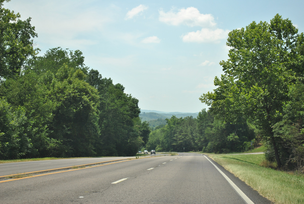
Angling southwest from Rockledge, U.S. 431 descends 400 feet in elevation from Sand Mountain into Little Sand Valley.
06/25/12
06/25/12
06/25/12
06/25/12
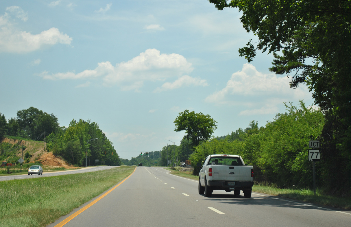
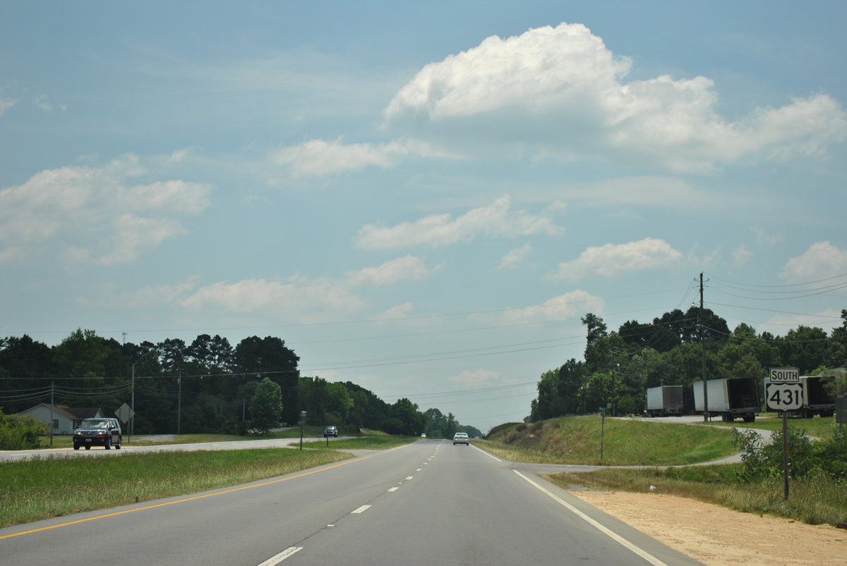
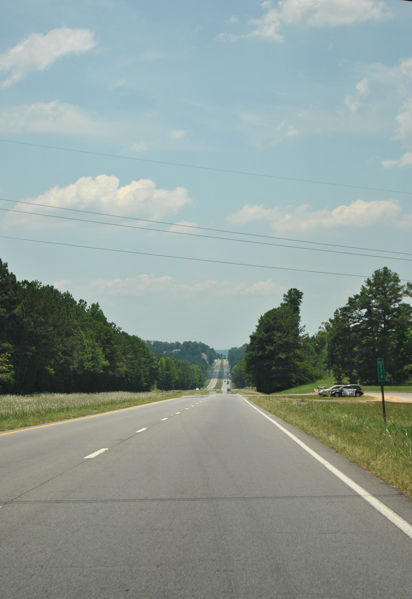
Continuing south from the town of Ridgeville at Duck Springs Road, U.S. 431 next meets SR 77 to south Attalla.
06/25/12
06/25/12
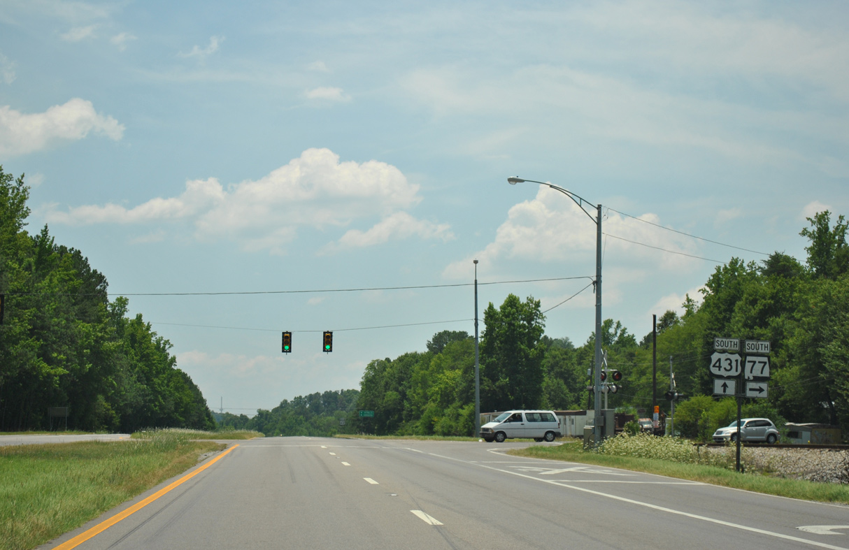
A 112.33 mile long highway, SR 77 arcs southward into Gadsden and Rainbow City en route to Talladega, Ashland and U.S. 431 again at LaFayette.
06/25/12
06/25/12
06/25/12
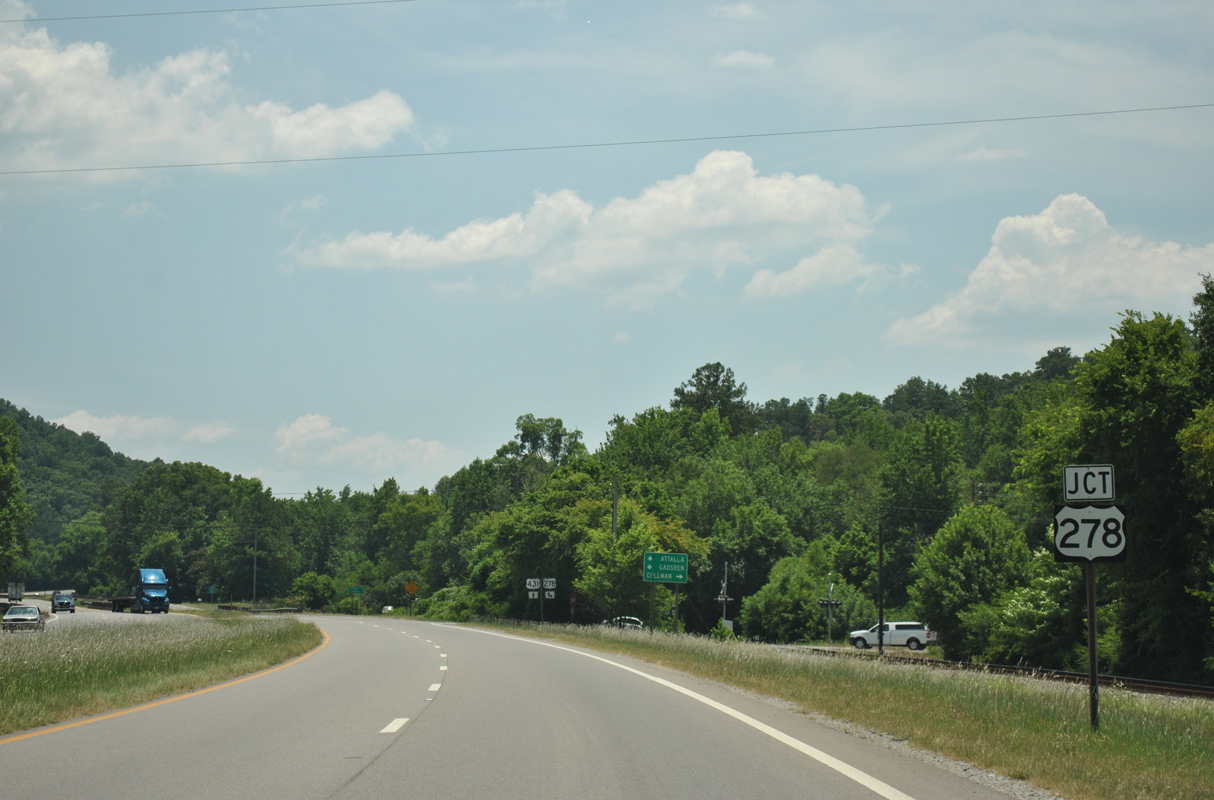
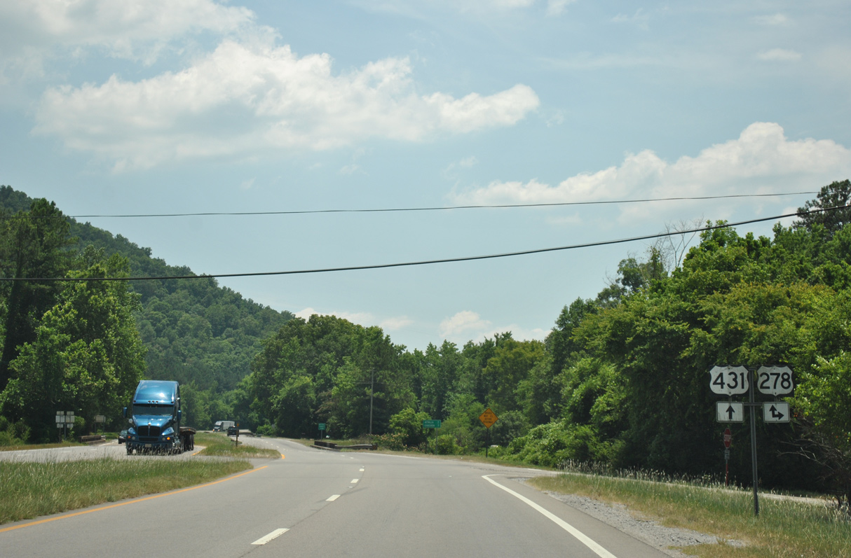
U.S. 278 travels east from Cullman to overlap with U.S. 431 south across Attalla and Gadsden.
06/25/12
06/25/12
06/25/12
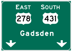

Photo Credits:
- ABRoads: 06/25/12
Connect with:
Page Updated Monday August 22, 2022.