
Indiana
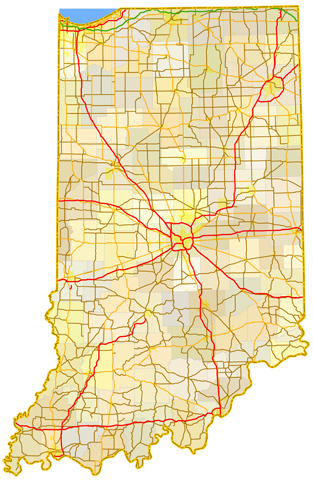
Sitemap to all pages covering the state of Indiana. Contributions and photography for the Indiana guides from Thomas Decker, Alex Nitzman, Andy Field, Brent Ivy, Carter Buchanan and Justin Cozart.
Route Categories
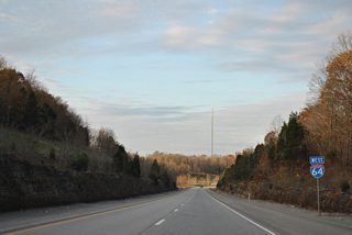
Interstates
14 routes, 4,000 photos
U.S. Highways
6 routes, 2,276 photos
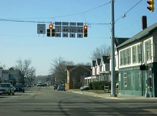
State Roads
27 routes, 3,026 photos
Other Roads
5 routes, 186 photos
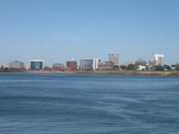
Evansville
34 Photos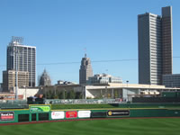
Fort Wayne
68 Photos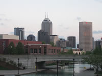
indianapolis
35 PhotosPopulation
| State Population | |||||
|---|---|---|---|---|---|
| 6,785,528 | |||||
| Metropolitan Populations | |||||
| Indianapolis-Carmel-Anderson | 2,111,040 | Fort Wayne | 419,601 | South Bend-Mishawaka | 324,501 |
| Evansville | 314,049 | Lafayette-West Lafayette | 223,716 | Elkhart-Goshen | 207,047 |
| Terre Haute | 185,031 | Bloomington | 161,039 | Michigan City-La Porte | 112,417 |
| County Populations | |||||
| Marion | 977,203 | Lake | 498,700 | Allen | 385,410 |
| Hamilton | 347,467 | St. Joseph | 272,912 | Elkhart | 207,047 |
| Tippecanoe | 186,251 | Vanderburgh | 180,136 | Hendricks | 174,788 |
| City Populations | |||||
| Indianapolis | 887,756 | Fort Wayne | 272,398 | Evansville | 118,407 |
| South Bend | 101,868 | Carmel | 101,643 | Fishers | 97,020 |
| Bloomington | 85,603 | Hammond | 75,342 | Gary | 74,693 |
| Sources: 2020 U.S. Census Data (metro populations and counties), 2020 U.S. Census Estimate (cities) | |||||
About Indiana
- Capital:
 Indianapolis
 - Nickname: Hoosier State
- State Flower: Peony
- State Bird: Northern Cardinal
- State Tree: Tulip Popular
- Total Interstate Mileage: 1,306.52
- Land Area: 36,418 square miles
- Highest Point: Hoosier Hill in Wayne County: 1,257 feet
- Lowest Point: Ohio River in Posey County: 320 feet
- Number of Counties: 92
- Statehood: 19th State, December 11, 1816
Last updated: Monday December 27, 2021