
Louisiana Road & Highway Photo Guides
Sitemap to road and highway photo guides covering the state of Louisiana.
Route Categories
Interstates
12 routes, 2,777 photos
U.S. Highways
11 routes, 1,056 photos
State Highways
12 routes, 263 photos
Other Roads
2 routes, 43 photos
Photo Coverage of Roads and Highways in Louisiana
AARoads documents highways and roads across Louisiana with route-by-route photo guides organized by direction of travel. Coverage includes Interstate Highways, U.S. Routes, Louisiana State Highways, and select parish roads.
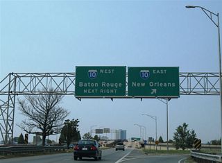
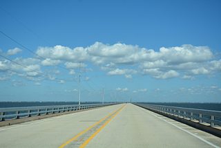
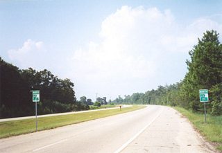
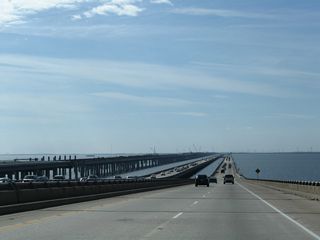
Photo guides focus on highway signage, interchanges, route markers, city limit signs, county lines, and notable points of interest along each route. Routes traverse coastal bayous and the Mississippi River with emphasis on bridge infrastructure. Urban corridors in the Greater New Orleans area, Baton Rouge and Shreveport feature coverage of expressway viaducts and multi-level interchanges.
New and updated photos for Louisiana routes are added periodically and cataloged on the updates page.
City Guides
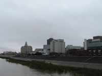
Baton Rouge
4 Photos
New Orleans
14 Photos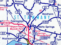
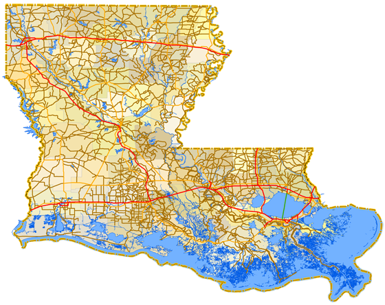
Louisiana State Highway Log
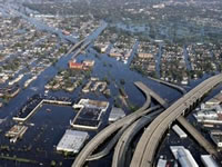
Hurricane Katrina Road Information
Photographic Contributors
Photography by Alex Nitzman, Andy Field, Brent Ivy, Carter Buchanan, Justin Cozart and others.
About Louisiana
- Capital:
 Baton Rouge
 - Nickname: Pelican State
- State Flower: Magnolia
- State Bird: Brown Pelican
- State Tree: Bald Cypress
- Land Area: 46,923.27 square miles, 31st largest
- Total Interstate Mileage: 933.84 miles
- Highest Point: Driskill Mountain (535 feet above sea level)
- Lowest Point: Sea Level
- Number of Parishes: 64
- Statehood: 18th state; admitted April 30, 1812
Last updated: Monday June 26, 2023