
Maryland
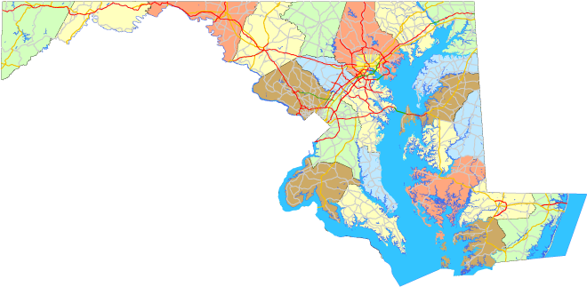
Sitemap to all pages covering the state of Maryland. Unless otherwise noted, all photographs taken by Alex Nitzman, Andy Field, Brent Ivy, Carter Buchanan, and Justin Cozart.
Route Categories
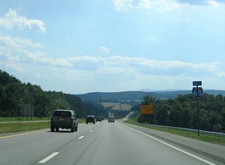
Interstates
18 routes, 2,959 photos
U.S. Highways
13 routes, 1,919 photos
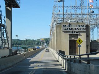
State Routes
99 routes, 2,401 photos
Other Roads
1 routes, 18 photos
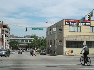
City Guides
Baltimore
145 PhotosPopulation
| State Population | |||||
|---|---|---|---|---|---|
| 6,177,224 | |||||
| Metropolitan Populations | |||||
| Washington, DC | 6,385,162 | Baltimore-Columbia-Towson | 2,844,510 | ||
| Salisbury, MD-DE | 418,046 | Hagerstown-Martinsburg | 293,844 | ||
| California-Lexington Park | 113,777 | Cumberland, MD-WV | 95,044 | ||
| Top County Populations | |||||
| Montgomery | 1,062,061 | Prince George's | 967,201 | ||
| Baltimore | 854,535 | Anne Arundel | 588,261 | ||
| Baltimore (city) | 585,708 | Howard | 332,317 | ||
| Frederick | 271,717 | Harford | 260,924 | ||
| Top City Populations | |||||
| Baltimore | 586,131 | Frederick | 73,308 | ||
| Rockville | 69,512 | Gaithersburg | 67,741 | ||
| Bowie | 58,212 | Hagerstown | 39,918 | ||
| Annapolis | 39,524 | College Park | 32,173 | ||
| Sources: 2020 U.S. Census Data (metro populations and counties), 2020 U.S. Census Estimate (cities) | |||||
About Maryland
Last updated: Saturday January 12, 2013