
Missouri
Sitemap to all pages covering the state of Missouri. Contributions and photography for the Missouri guides from Alex Nitzman, Andy Field, Brent Ivy and Justin Cozart.
Route Categories
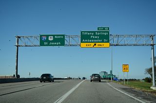
Interstates
18 routes, 3,108 photos
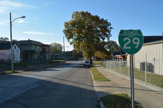
Business Routes
10 routes, 245 photos
U.S. Highways
8 routes, 384 photos
State Routes
8 routes, 305 photos
County Routes
1 routes, 34 photos

Other Roads
2 routes, 82 photos

Uncategorized
1 routes, 0 photos
Mileage statistics for routes in Missouri obtained from the Missouri Department of transportation (MoDOT) HPMAP.
Population
| State Population | |||||
|---|---|---|---|---|---|
| 6,154,913 | |||||
| Metropolitan Populations | |||||
| St. Louis | 2,820,253 | Kansas City, MO-KS | 2,192,035 | ||
| Springfield | 475,432 | Columbia | 210,864 | ||
| Joplin | 181,409 | Jefferson City | 150,309 | ||
| St. Joseph, MO-KS | 121,467 | Cape Girardeau-Jackson, MO-IL | 97,517 | ||
| Top County Populations | |||||
| St. Louis | 1,004,125 | Jackson | 717,204 | ||
| St. Charles | 405,262 | Greene | 298,915 | ||
| Clay | 253,335 | Jefferson | 226,739 | ||
| Boone | 183,610 | Jasper | 122,761 | ||
| Top City Populations | |||||
| Kansas City | 497,159 | St. Louis | 297,645 | ||
| Springfield | 168,090 | Columbia | 124,769 | ||
| Independence | 116,774 | Lee's Summit | 101,467 | ||
| O'Fallon | 89,769 | St. Joseph | 74,074 | ||
| St. Charles | 71,761 | St. Peters | 58,043 | ||
| Sources: 2020 U.S. Census Data (metro populations and counties), 2020 U.S. Census Estimate (cities) | |||||
About Missouri
- Capital:
 Jefferson City
 - Nickname: Show Me State
- State Flower: Hawthorn
- State Bird: Eastern Bluebird
- State Tree: Flowering Dogwood
- Total Interstate Mileage: 1,386.23
- Land Area: 69,704 square miles
- Highest Point: Taum Sauk Mountain 1,772 feet
- Lowest Point: Saint Francis River along north-south border with Arkansas, 230 feet
- Number of Counties: 114 and one independent city (St. Louis)
- Statehood: 24th state; admitted August 10, 1821
Last updated: Tuesday November 7, 2023