
North Carolina Road & Highway Photo Guides
Sitemap to road and highway photo guides for North Carolina.
Route Categories
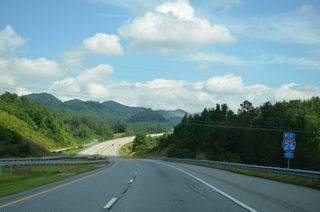
Interstates
25 routes, 6,691 photos
U.S. Highways
48 routes, 6,639 photos
State Routes
50 routes, 1,153 photos
Other Roads
4 routes, 104 photos
Photo Coverage of Roads and Highways in North Carolina
AARoads documents highways and roads across North Carolina with route-by-route photo guides organized by direction of travel. Coverage includes Interstate Highways, U.S. Routes, North Carolina State Routes, and select county roads.
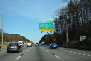
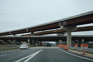
Photo guides focus on highway signage, interchanges, route markers, city limit signs, county lines, and notable points of interest along each route. Urban corridors in the Raleigh-Durham area, Piedmont Triad and Charlotte feature extensive coverage of toll facilities, interchange and exits, while rural routes in the Piedmont, coastal areas and mountains emphasize reassurance markers and junction signage.
New and updated photos for North Carolina routes are added periodically and cataloged on the updates page.
Area Guides
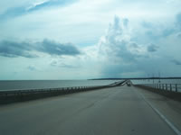
Outer Banks (OBX)
0 PhotosPhotographic Contributors
Photography by Alex Nitzman, Andy Field, Brent Ivy, Brent White, Carter Buchanan, Jamie Dzencelowcz and Justin Cozart.
About North Carolina
- Capital:
 Raleigh
 - Nickname: Tarheel State
- Total Interstate Mileage: 1,328.11
- Highest Point: Mt. Mitchell 6,684 feet
Mileage statistics referenced throughout the North Carolina highway guides were obtained from the North Carolina Department of Transportation (NCDOT) State Maintained Network Map. NCRoads.com Annex: More Highways of North Carolina was also used for researching the history of some routes throughout the state.
Last updated: Sunday March 22, 2026