
Ohio
Sitemap to all pages covering the state of Ohio. Photographic contributions by Alex Nitzman, Andy Field, Brent Ivy, Carter Buchanan, Justin Cozart and Thomas Decker.
Route Categories
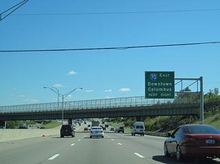
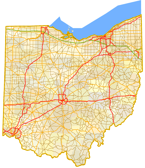
Interstates
21 routes, 2,577 photos
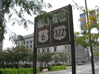
U.S. Highways
10 routes, 240 photos
State Routes
10 routes, 168 photos
Population
| State Population | |||||
|---|---|---|---|---|---|
| 11,799,448 | |||||
| Metropolitan Populations: | |||||
| Cincinnati | 2,256,884 | Columbus | 2,138,926 | Cleveland-Elyria | 2,088,251 |
| Dayton-Kettering | 814,049 | Akron | 702,219 | Toledo | 646,604 |
| Youngstown-Warren- Boardman | 541,243 | Canton-Massillon | 401,574 | Springfield | 136,001 |
| Top County Populations | |||||
| Franklin | 1,323,807 | Cuyahoga | 1,264,817 | Hamilton | 830,639 |
| Summit | 540,428 | Montgomery | 537,309 | Lucas | 431,279 |
| Top City Populations | |||||
| Columbus | 903,852 | Cleveland | 378,589 | Cincinnati | 304,548 |
| Toledo | 271,455 | Akron | 195,994 | Dayton | 140,59939,907 |
| Parma | 77,558 | Canton | 69,963 | Lorain | 63,872 |
| Sources: 2020 U.S. Census Data (metro populations and counties), 2020 U.S. Census Estimate (cities) | |||||
About Ohio
- Capital:
 Columbus
 - Nickname: Buckeye State
- State Flower: Red Carnation
- State Bird: Cardinal
- State Tree: Ohio Buckeye
- Land Area: 44,826 square miles or 116,098 square kilometers, 34th largest
- Total Interstate Mileage: 1,572.35 miles
- Highest Point: Campbell Hill (1,550 feet above sea level)
- Lowest Point: Ohio River in Hamilton County - 455 feet
- Number of Counties: 88
- Statehood: 17th state; admitted March 1, 1803
Last updated: Thursday December 30, 2021