
Pennsylvania
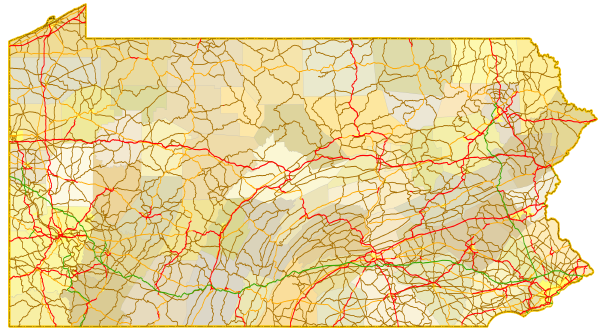
Sitemap to all pages covering the state of Pennsylvania. Photography contributions by Alex Nitzman, Andy Field, Brent Ivy, Carter Buchanan, Jesse Bender and Justin Cozart.
Route Categories
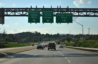
Interstates
21 routes, 4,166 photos
U.S. Highways
14 routes, 2,790 photos
State Routes
50 routes, 1,652 photos
Other Roads
2 routes, 28 photos
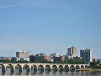
Harrisburg
0 Photos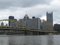
Pittsburgh
27 Photos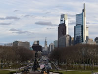
Philadelphia
34 PhotosPopulation
| State Population | |||||
|---|---|---|---|---|---|
| 13,002,700 | |||||
| Metropolitan Populations | |||||
| Philadephia-Camden- Wilmington | 6,245,051 | Pittsburgh | 2,370,930 | Allentown-Bethlehem- Easton | 861,889 |
| Harrisburg-Carlisle | 591,712 | Scranton - Wilkes-Barre | 567,559 | Lancaster | 552,984 |
| York-Hanover | 456,438 | Reading | 428,849 | Erie | 270,876 |
| Top County Populations | |||||
| Philadelphia | 1,603,797 | Allegheny | 1,250,578 | Montgomery | 856,553 |
| Bucks | 646,538 | Delaware | 576,830 | Lancaster | 552,984 |
| Chester | 534,413 | York | 456,438 | Berks | 428,849 |
| Top City Populations | |||||
| Philadelphia | 1,578,487 | Pittsburgh | 299,226 | Allentown | 121,470 |
| Erie | 95,077 | Reading | 88,217 | Upper Darby* | 82,883 |
| Scranton | 76,532 | Bethlehem | 75,466 | Lancaster | 58,990 |
| * - Township Sources: 2020 U.S. Census Data (metro populations and counties), 2020 U.S. Census Estimate (cities) | |||||
About Pennsylvania
- Capital:
 Harrisburg
 - Nickname: The Keystone State
- State Flower: Mountain Laurel
- State Bird: Ruffed Grouse
- State Tree: Eastern Hemlock
- Total Interstate Mileage: 1,862.21
- Land Area: 44,742.70 square miles
- Highest Point: Mount Davis in Somserset County: 3,213 feet
- Lowest Point: Delaware River at Sea level
- Number of Counties: 67
- Statehood: 2nd State, December 12, 1787
Last updated: Thursday December 30, 2021