
Pennsylvania Road & Highway Photo Guides
Sitemap to all pages covering the state of Pennsylvania.
Route Categories
Interstates
23 routes, 4,296 photos
U.S. Highways
14 routes, 2,810 photos
State Routes
50 routes, 1,652 photos
Other Roads
2 routes, 28 photos
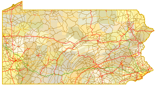
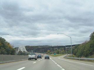
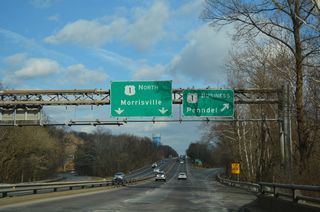
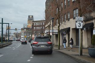
Photo Coverage of Roads and Highways in Pennsylvania
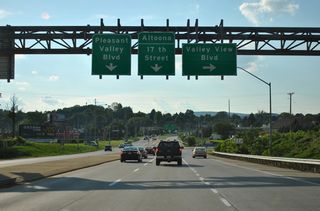
AARoads documents highways and roads across Pennsylvania with route-by-route photo guides organized by direction of travel. Coverage includes Interstate Highways, U.S. Routes, Pennsylvania State Routes, and select local streets and arterials.
Photo guides focus on highway signage, interchanges, route markers, city limit signs, county lines, and notable points of interest along each route. Coverage ranges from a mix of legacy turnpikes and dense urban interchanges to rural freeways and mountain back roads.
New and updated photos for Pennsylvania routes are added periodically and cataloged on the updates page.
City Guides
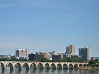
Harrisburg
0 Photos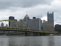
Pittsburgh
27 Photos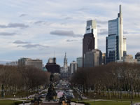
Philadelphia
39 PhotosPhotographic Contributors
Photography by Alex Nitzman, Andy Field, Brent Ivy, Carter Buchanan, Jesse Bender and Justin Cozart.
About Pennsylvania
- Capital:
 Harrisburg
 - Nickname: The Keystone State
- State Flower: Mountain Laurel
- State Bird: Ruffed Grouse
- State Tree: Eastern Hemlock
- Total Interstate Mileage: 1,862.21
- Land Area: 44,742.70 square miles
- Highest Point: Mount Davis in Somserset County: 3,213 feet
- Lowest Point: Delaware River at Sea level
- Number of Counties: 67
- Statehood: 2nd State, December 12, 1787
Last updated: Saturday May 30, 2026