
Tennessee Road & Highway Photo Guides
Sitemap to road and highway photo guides covering the state of Tennessee.
Route Categories

Interstates
16 routes, 3,211 photos
U.S. Highways
11 routes, 651 photos
State Routes
10 routes, 242 photos
Other Roads
1 routes, 53 photos
Photo Coverage of Roads and Highways in Tennessee
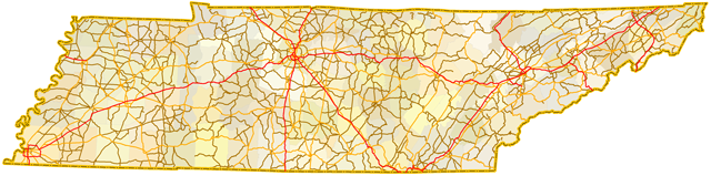
AARoads documents highways and roads across Tennessee with route-by-route photo guides organized by direction of travel. Coverage includes Interstate Highways, U.S. Routes, Tennessee State Routes, and select county roads.
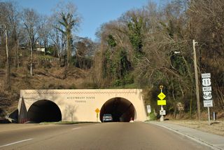
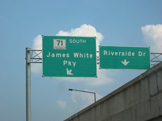
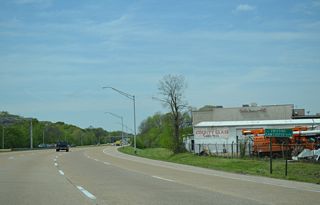
Photo guides focus on highway signage, interchanges, route markers, city limit signs, county lines, and notable points of interest along each route. Urban routes in Nashville, Memphis and Knoxville feature closely spaced interchanges, while rural highways emphasize route continuity and regional connectivity.
New and updated photos for Tennessee routes are added periodically and cataloged on the updates page.
About the Tennessee Route System
State Routes in Tennessee were previously separated into secondary and primary routes. The differences were denoted by separate shield styles, with primary routes in rectangles and secondary routes in triangles. The two-tier system was derived from the Federal-Aid Primary and Federal Aid Secondary system of roads. That system was replaced with the National Highway System (NHS) in 1993, as part of the 1991 Intermodal Surface Transportation Efficiency Act (ISTEA). A de facto primary and secondary system still exists today, though the distinction is based upon importance versus funding/maintenance. More on the Tennessee state route system can be found at Bill Burmaster's web site.
Photographic Contributors
Photography by Alex Nitzman, Andy Field, Brent Ivy, Carter Buchanan, Justin Cozart and Trevor B.
About Tennessee
- Capital:
 Nashville
 - Nickname: Volunteer State
- Total Interstate Mileage: 1,100.34
- Highest Point: Clingmans Dome 6,643 feet
Last updated: Thursday November 2, 2023