
Olympia, WA
Overview

Routes
 Interstate 5
The origins of Interstate 5 through Olympia start with the 1950s expressway of U.S. 99 south from Exit 102 (Trosper Road) at Tumwater. U.S. 99 utilized this road and followed Trosper Road east to Capitol Boulevard until 1958. A new stretch of Interstate 5 opened then between Exits 102 and 109, doubling as the route for U.S. 99. Further east, I-5 was completed in 1968 from Exits 109 to Exit 114. U.S. 99 was dropped from Washington a year later.1
 U.S. 101
U.S. 101 travels 365.55 miles within the Evergreen State. The route hugs the Pacific Coast from the Columbia River north of Astoria, Oregon to a point north of Lakaloch west of the Olympic Mountains. The US route encircles the Olympic Peninsula east and south to Shelton and its terminus at Olympia. The original "northern" terminus of U.S. 101 was located in downtown at the intersection of 4th Street and Capitol Way, where U.S. 99 turned east from the Capitol area to Lacey. After 1949, Olympia converted 4th Street and parallel State Avenue into a one-way couplet, shifting the beginning of U.S. 101 one block further north.2 U.S. 101 shifted a freeway bypass south of Olympia in 1959.
 Old U.S. 99
U.S. 99 traveled into Olympia via Capitol Boulevard from Tumwater. Capitol Way carried the route north to 4th Avenue in Downtown. 4th Avenue carried U.S. 99 shields east from Capitol Way and U.S. 101 to Pacific Avenue at Martin Way. U.S. 99 and companion U.S. 410 continued east along Pacific Avenue to Lacey. The surface street alignment lasted until the 1958 when U.S. 99 joined newly opened Interstate 5 between Exits 102 and 109.1
 Old U.S. 410
U.S. 410 originally traveled between Aberdeen, Washington and Lewiston, Idaho. The designation was vastly replaced by an extension of U.S. 12 west in 1967. From west to east, U.S. 410 followed what later became U.S. 12 between Aberdeen and Elma, SR 8 from Elma to Mud Bay, with U.S. 101 from Mud Bay to Olympia, with U.S. 99 from Olympia to Tacoma, SR 167 from Tacoma to Sumner, SR 410 from Sumner to Naches, and U.S. 12 from Naches to Lewiston.
The route shared alignments with U.S. 99 east of Downtown Olympia to Tacoma and west from Downtown to Mud Lake with U.S. 101. When U.S. 99 shifted onto Interstate 5 in 1958, U.S. 410 was realigned from 4th Street and Pacific Avenue to a shared alignment with the new freeway along U.S. 101 and I-5 at Exit 104.1
City Streets and Roads

14th Ave SE - West (5 photos)

Capitol Way (Old U.S. 99) - North (6 photos)

Capitol Way (Old U.S. 99) - South (7 photos)

Other Roads (9 photos)
Other Roads
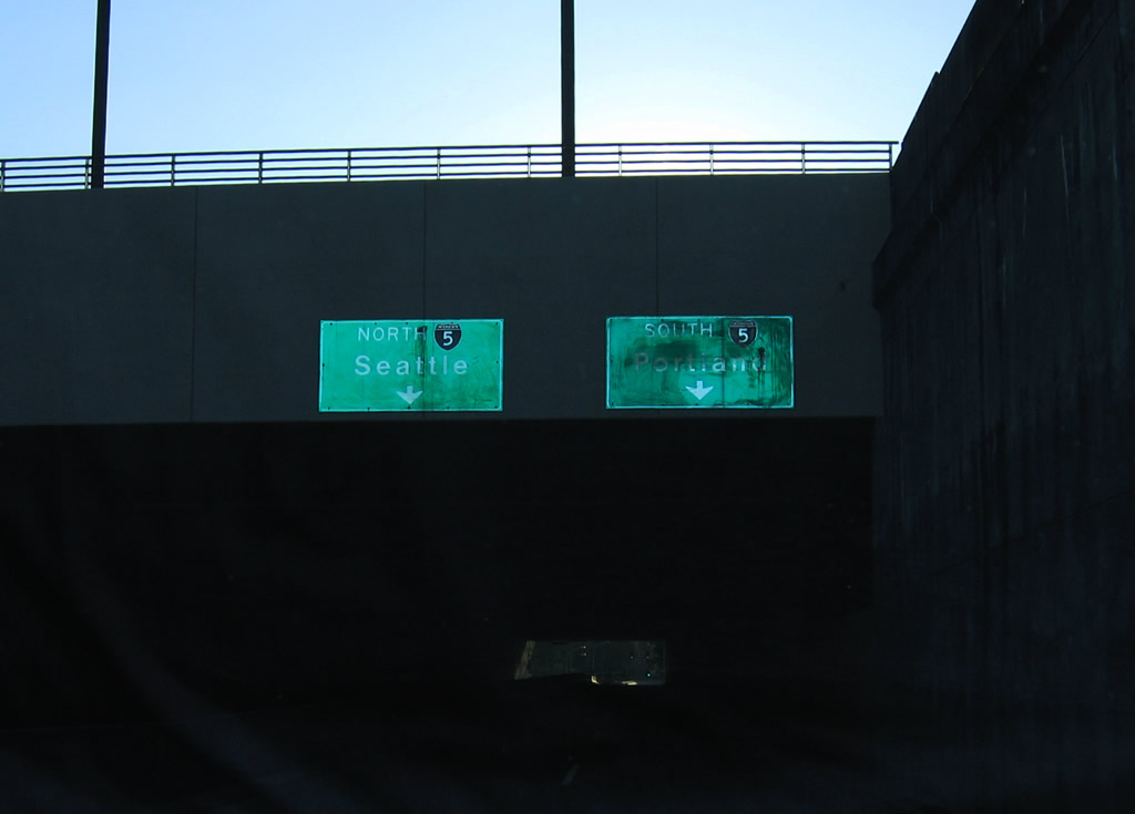
Motorists bound for Interstate 5 are directed into separate lanes as 14th Avenue SE leaves the State Capitol area and travels through a cut and cover tunnel. 09/02/06
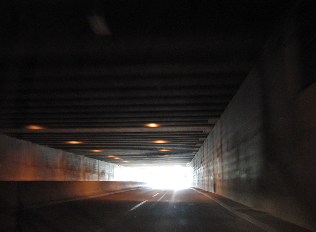
Traveling through the 14th Avenue Tunnel between Capitol Way (Old U.S. 99) and Jefferson Street. The four lane arterial passes under East Plaza of the Washington State Capitol Campus. 09/02/06
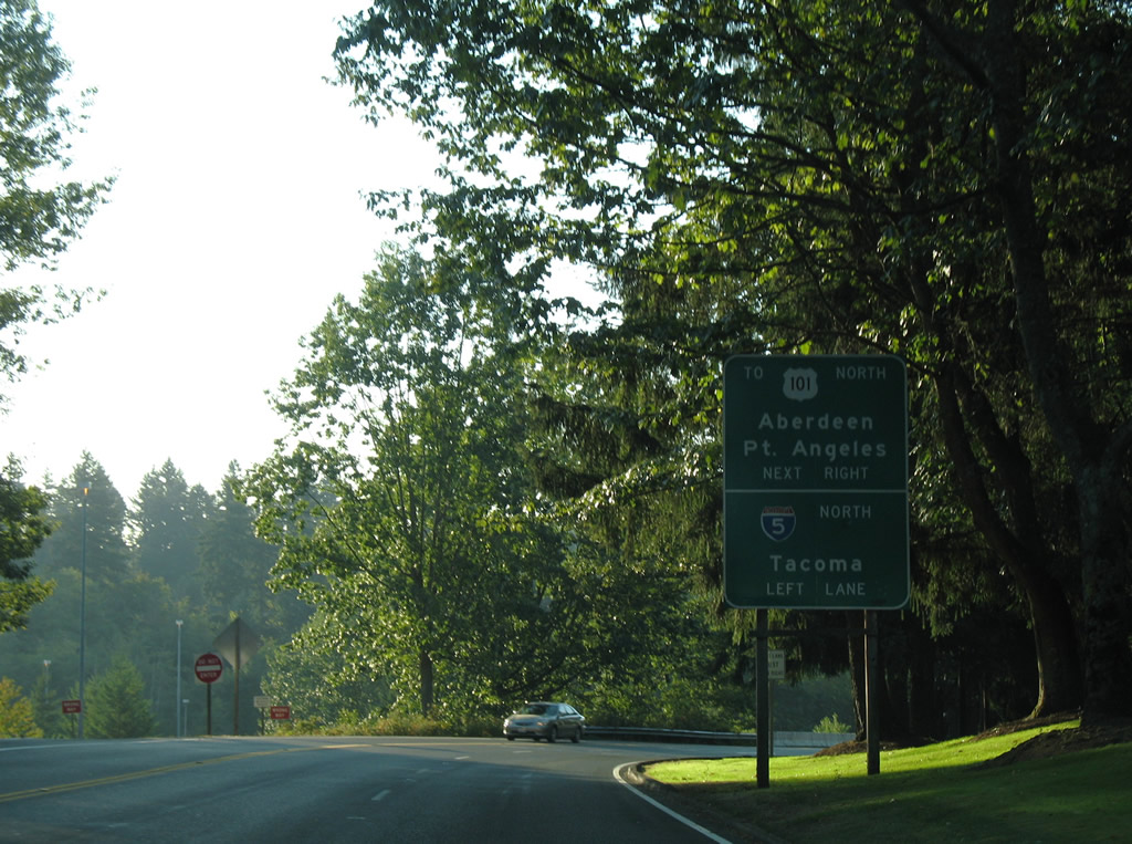
14th Avenue SE continues beyond Jefferson Street directly to a trumpet interchange with Interstate 5 (Exit 105). Interstate 5 meets the end of U.S. 101 at the next southbound interchange (Exit 104). 09/02/06
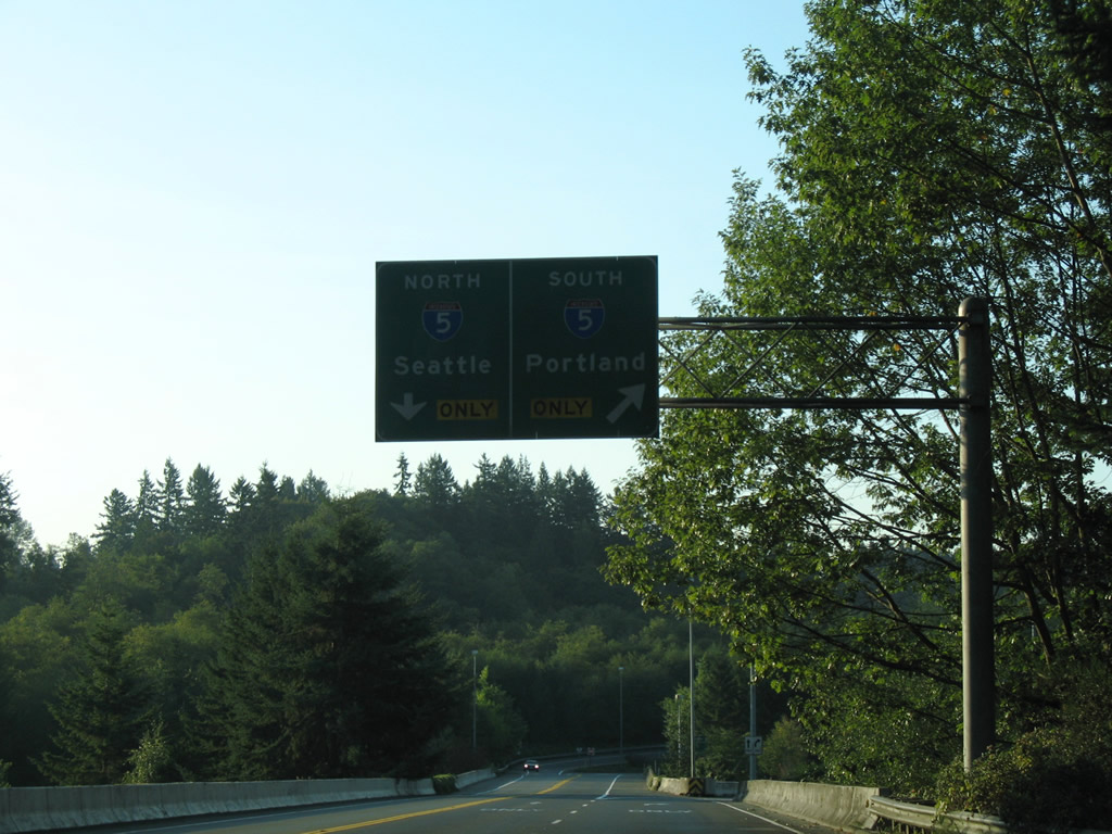
Travelers bound for Interstate 5 south to Portland, Oregon depart 14th Avenue SE. 14th Avenue continues across Interstate 5 to the northbound ramp and a roundabout with Henderson Boulevard. 09/02/06
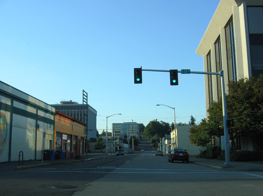
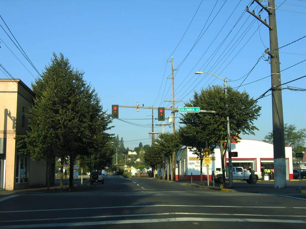
Columbia Street south at 4th Avenue (historic U.S. 101/410) in Downtown Olympia. 4th Avenue carried U.S. 410 east and U.S. 101 south until 1958. 09/02/06
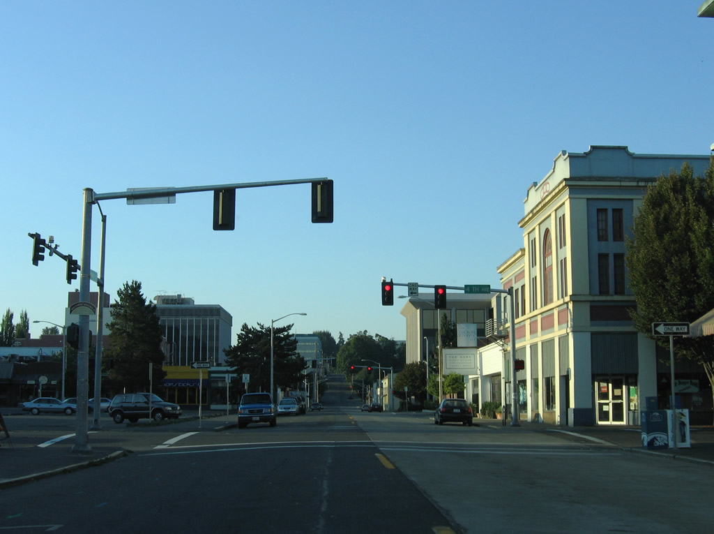
Southbound Columbia Street at 5th Avenue. 5th Avenue enters the city center from Capitol Lake Park. 09/02/06
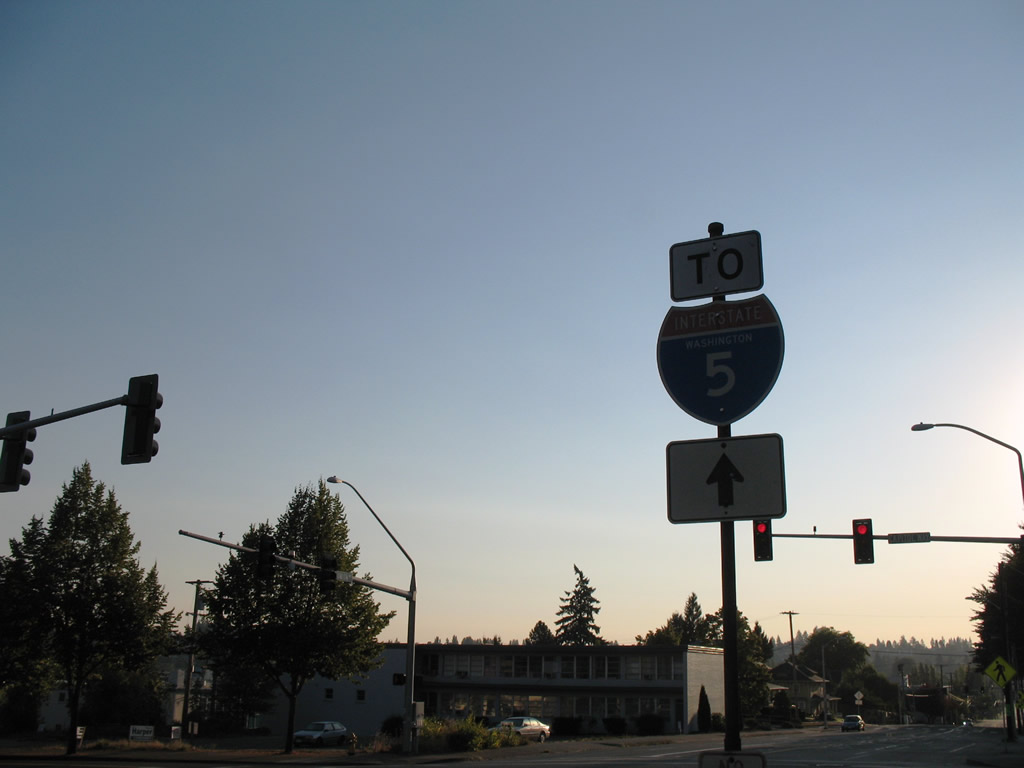
Interstate 5 trailblazer posted along Union Avenue east at Capitol Way (Historic U.S. 99). Union Avenue connects with Plum Street ahead Bay Drive. Bay Drive connects with Interstate 5 at Exit 105. 09/02/06
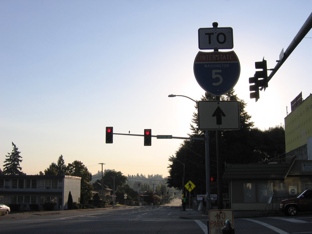
The vintage trailblazer at Union Avenue and Capitol Way was replaced by 2017 with redevelopment of the property on the southwest corner of the intersection. 09/02/06
State Avenue carried U.S. 101 north from U.S. 99 (Capitol Avenue) two blocks to Water Street and 4th Avenue between 1949 and 1958. Columbia Street interests historic U.S. 101 one block west of Capitol Avenue. 09/02/06