
Yakima, WA
Overview
An overview of the Interstate and U.S. Highways serving the city of Yakima, Washington.
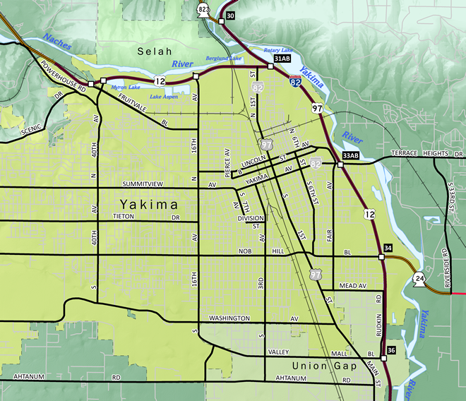
Routes
 Interstate 82
Interstate 82 opened between Ellensburg and Yakima in 1971 and between Union Gap and Zillah by November 1981.1 The freeway replaced the routing of U.S. 97 northward to I-90 and southward to Union Gap. U.S. 12 follows the freeway from Berglund eastward to the Tri-Cities and Interstate 182.
 Former Business Loop I-82
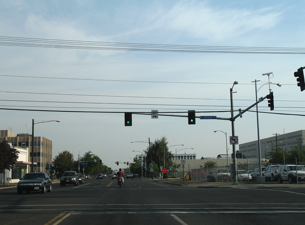
Business Loop I-82 was a short lived route joining the Yakima City Center with the freeway to the east. Signs for the route were posted until 1999, with one remaining as of 2016.
Beginning at Exit 33 of Interstate 82, the loop followed Yakima Avenue west to N 6th Street and the couplet of E Lincoln Avenue (westbound) and E B Street (eastbound). The route turned northward along original U.S. 97 / North 1st Street for the return to Interstate 82 at Exit 31.
 U.S. 12
U.S. 12 parallels the Naches River southeast from the census designated places of Eschbach and Gleed. Heading east into the city of Yakima, U.S. 12 upgrades into a limited access highway with exits for N 40th Avenue / Fruitvale Boulevard, N 16th Avenue and N 1st Street. The remainder of U.S. 12 overlaps with Interstate 82 southward to Union Gap.
 U.S. 97
U.S. 97 overlaps with Interstate 82 from Union Gap northward to I-90 near Ellensburg. The highway is a four lane divided highway southeast from the separation with I-82 at Union Gap to Toppenish.
Former U.S. 97
U.S. 97 originally followed 1st Street through the Yakima City Center from Berglund to Union Gap. When Interstate 82 was completed through Yakima in 1971, U.S. 97 shifted onto an overlap with the freeway. The steel truss bridges over the Naches and Yakima Rivers for I-82 are the original spans for U.S. 97 converted for use on the limited access highway.
 Former U.S. 410
U.S. 410 was replaced wholly by an extension of U.S. 12 westward from Clarkston to Grays Harbor in 1967 at the urging of a delegation of residents from the Tri-Cities area, Sunnyside, Yakima, Walla Walla and Grays Harbor. The effort was undertaken to provide South Washington with another national highway.2 The choice won out over an Oregon led proposal to have U.S. 12 follow the Columbia River west from Wallula.3
City Streets and Roads
Former U.S. 97 / 1st St - North (7 photos)

Former U.S. 97 / 1st St - South (17 photos)
Former U.S. 97 / Main St - South (9 photos)
Other Roads (6 photos)
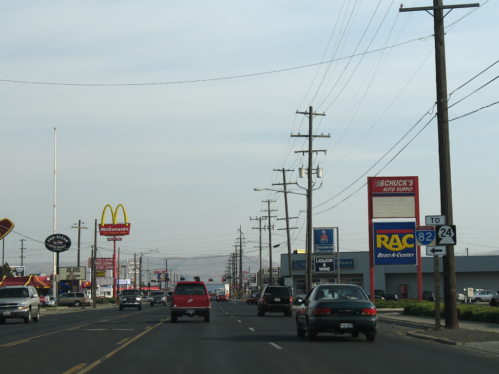
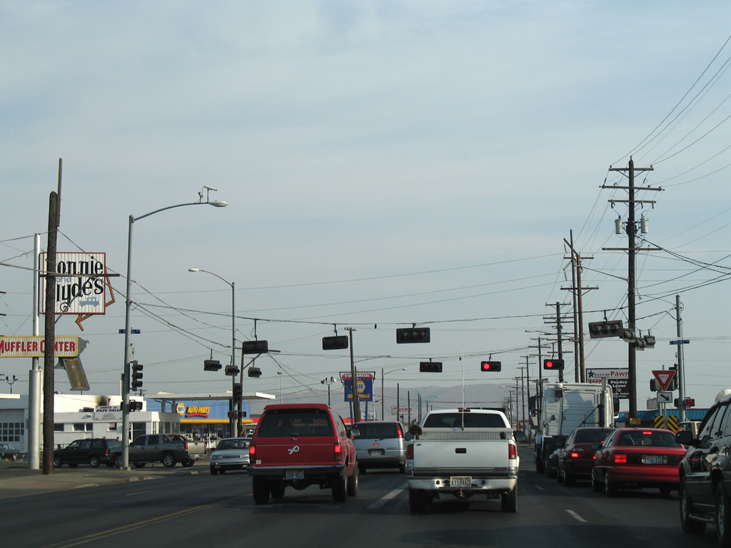
Former U.S. 97 / 1st St - South
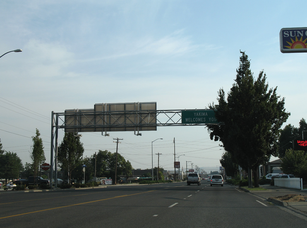
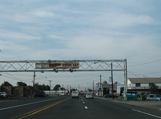
North 1st Street continues south from a cloverleaf-interchange with U.S. 12 and the south end of SR 823 to become a four lane boulevard en route to the Yakima city center. A sign bridge welcomes motorists into the city from the days of the road as U.S. 97. 08/28/06
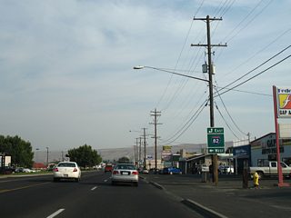
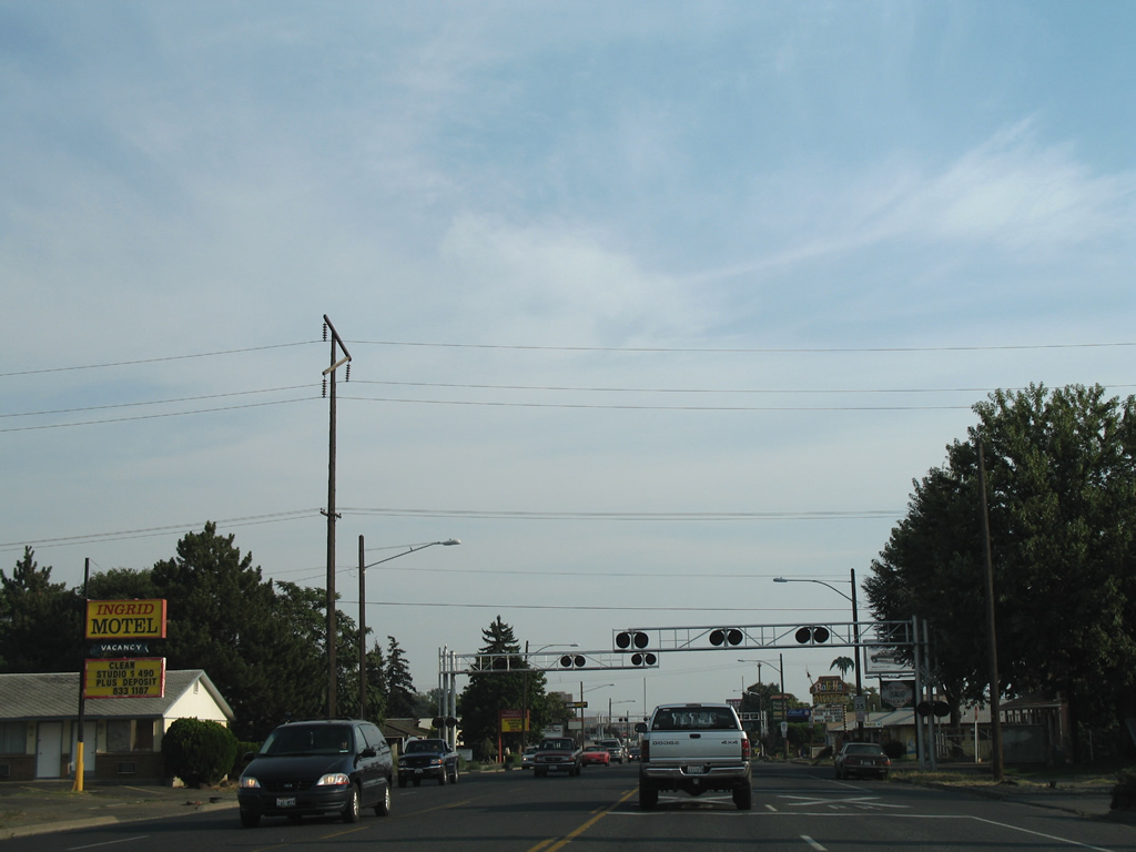
The Yakima street grid consists of east-west alphabet streets from the U.S. 12 freeway southward to the city center. Pictured here is the approach to I Street. 08/28/06
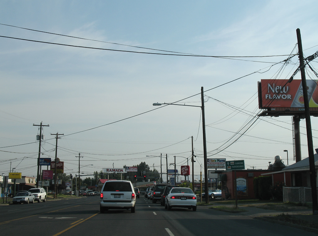
A railroad spur follows H Street east from the parallel BNSF Railroad line to an industrial site at North 7th Street. Several motels and fast food chains line the former U.S. 97 (North 1st Street) southward to the city center. 08/28/06
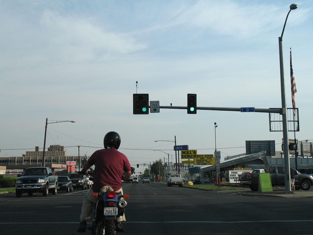
D Street meets Main Street at the next southbound traffic light. 08/28/06
Lincoln Way flows westward from Fair Avenue to N 6th Avenue. The one way street was a part of Business Loop I-82 between N 1st Street and N B Street until 1999. 08/28/06
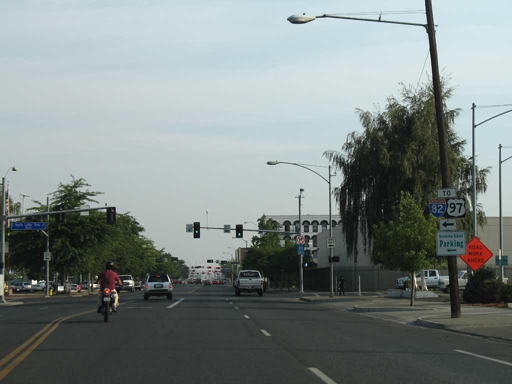
Business Loop I-82 followed N 1st Street south from Exit 31 to B Street (Martin Luther King, Jr. Boulevard) east. The couplet of B and Lincoln carried the route to N 6th Street south to Yakima Avenue east on the return to I-82. 08/28/06
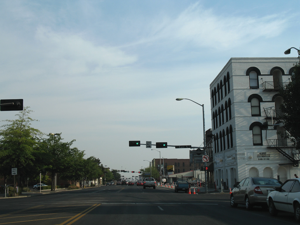
A Street travels one block west from North 1st Street to end at Front Street in downtown Yakima. 08/28/06
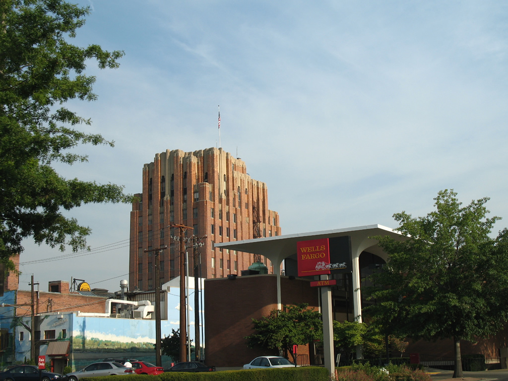
One of Yakima's tallest structures, the A.E. Larson Building, was built in 1931 and stands 188 feet tall. The high rise resides at the corner of Yakima Avenue and South 2nd Street. 08/28/06
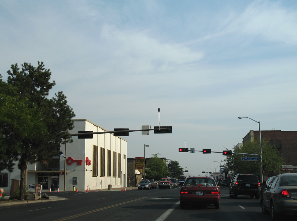
Yakima Avenue comprises the main east-west route through the city center. The four lane arterial joins 1st Street with I-82/U.S. 12-97 to the east via Terrace Heights Way. 08/28/06
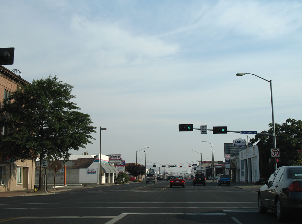
Chestnut Avenue mirrors A Street in function from Front Street east to Fair Avenue. 08/28/06
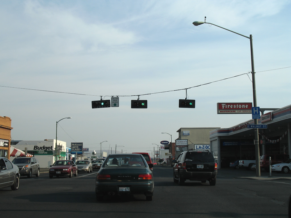
Walnut Street crosses old U.S. 97 (South 1st Street) as a four lane boulevard between South 6th Avenue and South 6th Street. 08/28/06
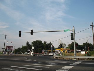
South 1st Street expands into a conventional commercial arterial on the exit of downtown Yakima. Arlington Street and South 3rd Street meet the original U.S. 97 at this signalized intersection. 08/28/06
Trailblazers posted for Interstate 82 and SR 24 direct motorists from South 1st Street onto Nob Hill Boulevard east. SR 24 begins at the diamond interchange with I-82/U.S. 12-97, 1.1 miles to the east. 08/28/06
Nob Hill Boulevard stretches 5.6 miles west to South 80th Avenue through residential areas of west Yakima. Eastward the arterial becomes SR 24 en route to Birchfield and Moxee. 08/28/06

Mead Avenue lines the north end of an industrial area between South 1st Street and Rudkin Boulevard, the southbound side frontage road to Interstate 82. 08/28/06