
Yakima, WA
Overview
An overview of the Interstate and U.S. Highways serving the city of Yakima, Washington.
Routes
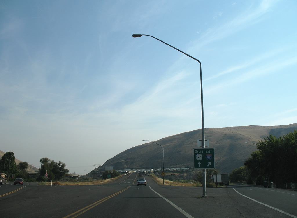
 Interstate 82
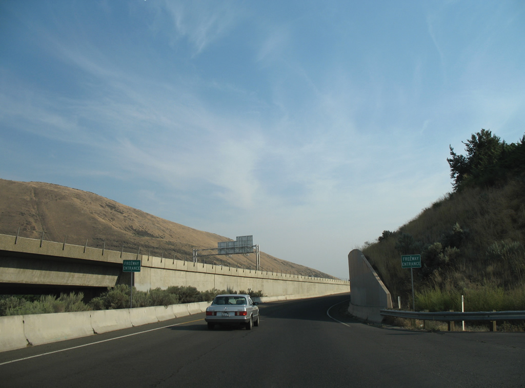
Interstate 82 opened between Ellensburg and Yakima in 1971 and between Union Gap and Zillah by November 1981.1 The freeway replaced the routing of U.S. 97 northward to I-90 and southward to Union Gap. U.S. 12 follows the freeway from Berglund eastward to the Tri-Cities and Interstate 182.
 Former Business Loop I-82
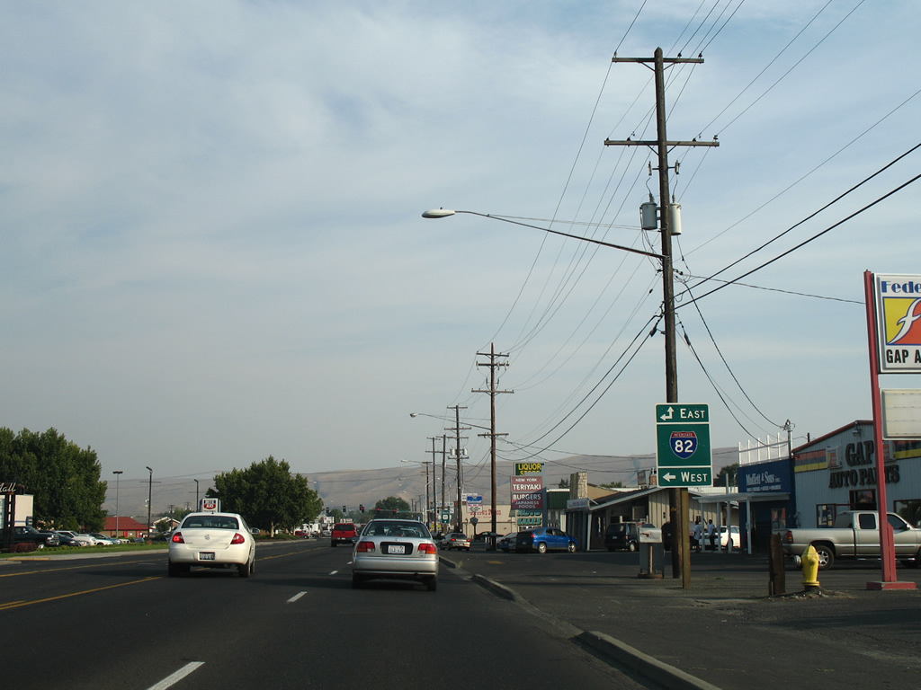
Business Loop I-82 was a short lived route joining the Yakima City Center with the freeway to the east. Signs for the route were posted until 1999, with one remaining as of 2016.
Beginning at Exit 33 of Interstate 82, the loop followed Yakima Avenue west to N 6th Street and the couplet of E Lincoln Avenue (westbound) and E B Street (eastbound). The route turned northward along original U.S. 97 / North 1st Street for the return to Interstate 82 at Exit 31.
 U.S. 12
U.S. 12 parallels the Naches River southeast from the census designated places of Eschbach and Gleed. Heading east into the city of Yakima, U.S. 12 upgrades into a limited access highway with exits for N 40th Avenue / Fruitvale Boulevard, N 16th Avenue and N 1st Street. The remainder of U.S. 12 overlaps with Interstate 82 southward to Union Gap.
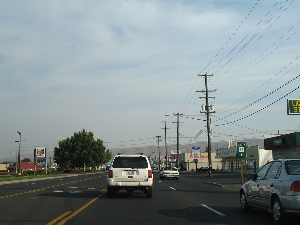
 U.S. 97
U.S. 97 overlaps with Interstate 82 from Union Gap northward to I-90 near Ellensburg. The highway is a four lane divided highway southeast from the separation with I-82 at Union Gap to Toppenish.
Former U.S. 97
U.S. 97 originally followed 1st Street through the Yakima City Center from Berglund to Union Gap. When Interstate 82 was completed through Yakima in 1971, U.S. 97 shifted onto an overlap with the freeway. The steel truss bridges over the Naches and Yakima Rivers for I-82 are the original spans for U.S. 97 converted for use on the limited access highway.
 Former U.S. 410
U.S. 410 was replaced wholly by an extension of U.S. 12 westward from Clarkston to Grays Harbor in 1967 at the urging of a delegation of residents from the Tri-Cities area, Sunnyside, Yakima, Walla Walla and Grays Harbor. The effort was undertaken to provide South Washington with another national highway.2 The choice won out over an Oregon led proposal to have U.S. 12 follow the Columbia River west from Wallula.3
City Streets and Roads
Former U.S. 97 / 1st St - North (7 photos)
Former U.S. 97 / 1st St - South (17 photos)

Former U.S. 97 / Main St - South (9 photos)
Other Roads (6 photos)
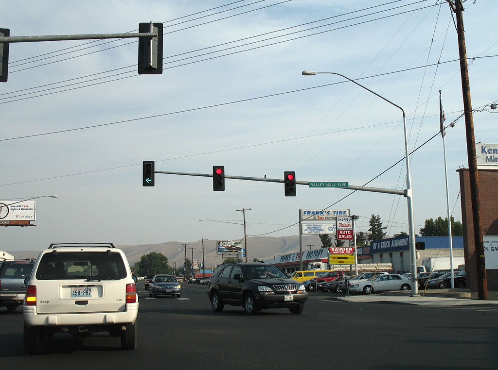
Former U.S. 97 / Main St - South
Passing by Valley Mall, Main Street (former U.S. 97) approaches Valley Mall Boulevard. The east-west arterial ends nearby at the Exit 36 diamond interchange of Interstate 82. 08/28/06
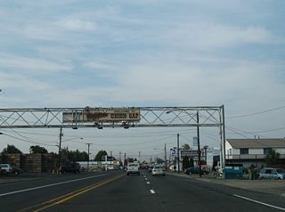
The first sign alluding to U.S. 97 on the former alignment directs motorists southward on Main Street beyond Valley Mall Boulevard. 08/28/06
Valley Mall Boulevard continues west from Main Street onto a 2009-completed extension to South 16th Avenue and Yakima Air Terminal. 08/28/06
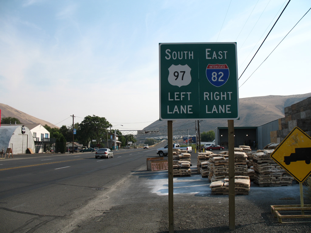
Main Street leaves the city of Union Gap at a wye interchange with a connector ramp to I-82/U.S. 12 east. Main Street otherwise spans a Washington Central Railroad line and merges with U.S. 97 en route to Parker. 08/28/06
Main Street leaves the city of Union Gap at a wye interchange with a connector ramp to I-82/U.S. 12 east. Main Street otherwise spans a Washington Central Railroad line and merges with U.S. 97 en route to Parker. 08/28/06
A 1941-built bridge retrofitted with metal guard rails spans a Washington Central Railroad beyond the ramp split to Interstate 82. Union Gap, the cut between Ahtanum Ridge and Rattlesnake Hills, lies in the background. 08/28/06
A viaduct carries U.S. 97 away from Interstate 82 to Main Street at Union Gap. 08/28/06
A second 1941-span crosses Ahtanum Creek ahead of the Main Street merge with U.S. 97. Southbound motorists enter Yakima Indian Reservation. 08/28/06
A pair of freeway entrance signs herald the ramp onto U.S. 97.U.S. 97 technically is a freeway through Union Gap only because the steep hill side and parallel Yakima River prevent access points. 08/28/06