
Yakima, WA
Overview
An overview of the Interstate and U.S. Highways serving the city of Yakima, Washington.
Routes
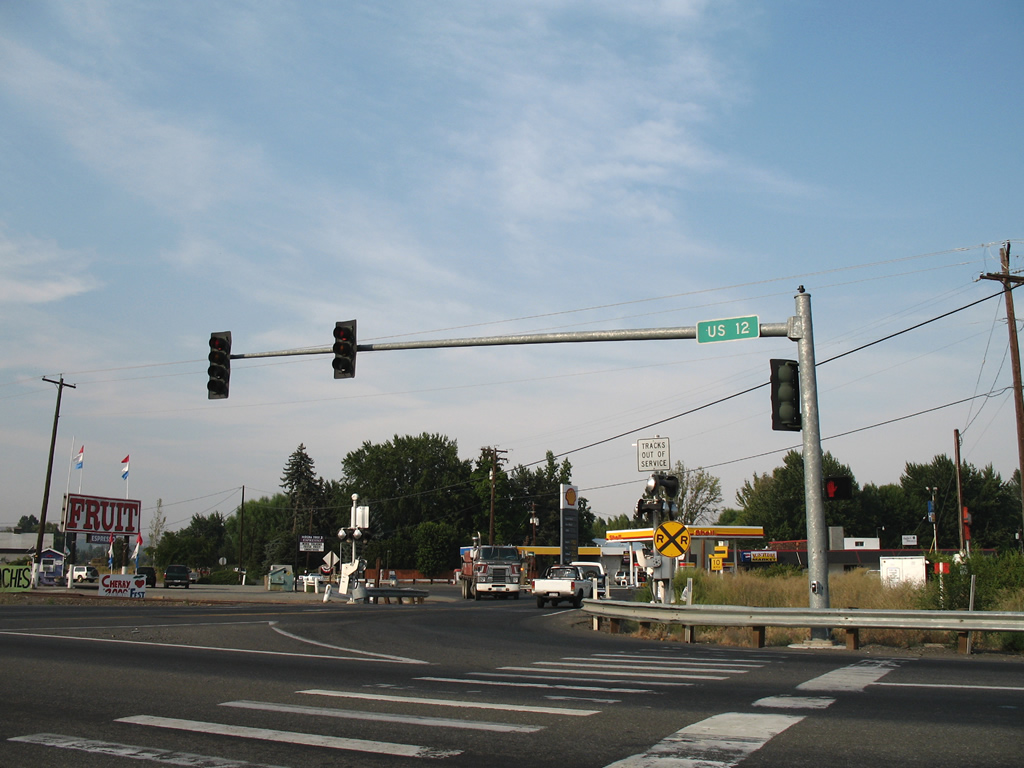
 Interstate 82
Interstate 82 opened between Ellensburg and Yakima in 1971 and between Union Gap and Zillah by November 1981.1 The freeway replaced the routing of U.S. 97 northward to I-90 and southward to Union Gap. U.S. 12 follows the freeway from Berglund eastward to the Tri-Cities and Interstate 182.
 Former Business Loop I-82
Business Loop I-82 was a short lived route joining the Yakima City Center with the freeway to the east. Signs for the route were posted until 1999, with one remaining as of 2016.
Beginning at Exit 33 of Interstate 82, the loop followed Yakima Avenue west to N 6th Street and the couplet of E Lincoln Avenue (westbound) and E B Street (eastbound). The route turned northward along original U.S. 97 / North 1st Street for the return to Interstate 82 at Exit 31.
 U.S. 12
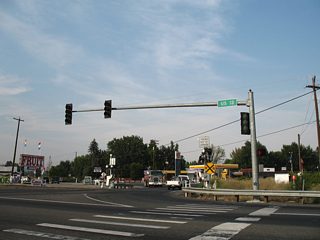
U.S. 12 parallels the Naches River southeast from the census designated places of Eschbach and Gleed. Heading east into the city of Yakima, U.S. 12 upgrades into a limited access highway with exits for N 40th Avenue / Fruitvale Boulevard, N 16th Avenue and N 1st Street. The remainder of U.S. 12 overlaps with Interstate 82 southward to Union Gap.
 U.S. 97
U.S. 97 overlaps with Interstate 82 from Union Gap northward to I-90 near Ellensburg. The highway is a four lane divided highway southeast from the separation with I-82 at Union Gap to Toppenish.
Former U.S. 97
U.S. 97 originally followed 1st Street through the Yakima City Center from Berglund to Union Gap. When Interstate 82 was completed through Yakima in 1971, U.S. 97 shifted onto an overlap with the freeway. The steel truss bridges over the Naches and Yakima Rivers for I-82 are the original spans for U.S. 97 converted for use on the limited access highway.
 Former U.S. 410
U.S. 410 was replaced wholly by an extension of U.S. 12 westward from Clarkston to Grays Harbor in 1967 at the urging of a delegation of residents from the Tri-Cities area, Sunnyside, Yakima, Walla Walla and Grays Harbor. The effort was undertaken to provide South Washington with another national highway.2 The choice won out over an Oregon led proposal to have U.S. 12 follow the Columbia River west from Wallula.3
City Streets and Roads
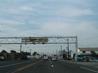
Former U.S. 97 / 1st St - North (7 photos)
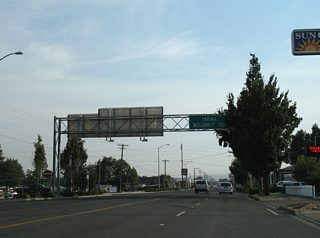
Former U.S. 97 / 1st St - South (17 photos)
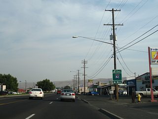
Former U.S. 97 / Main St - South (9 photos)
Other Roads (6 photos)
Other Roads
Powerhouse Road travels alongside U.S. 12 from Brace to Ramblers Park in south Naches Valley. The road represents a portion of the original alignment of U.S. 410. Pictured here is the intersection with the U.S. 12 divided highway and Old Naches Highway north to Lower Naches Grange. 08/28/06
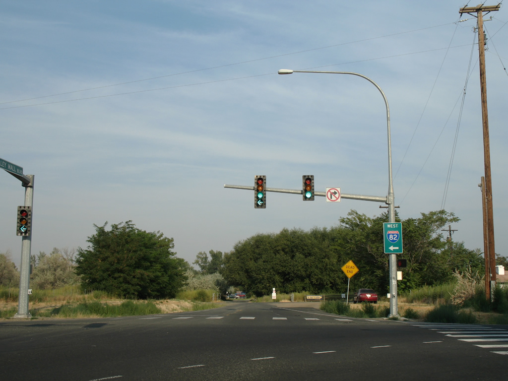
Valley Mall Boulevard travels a short distance from Main Street (old U.S. 97) to Interstate 82. 08/28/06
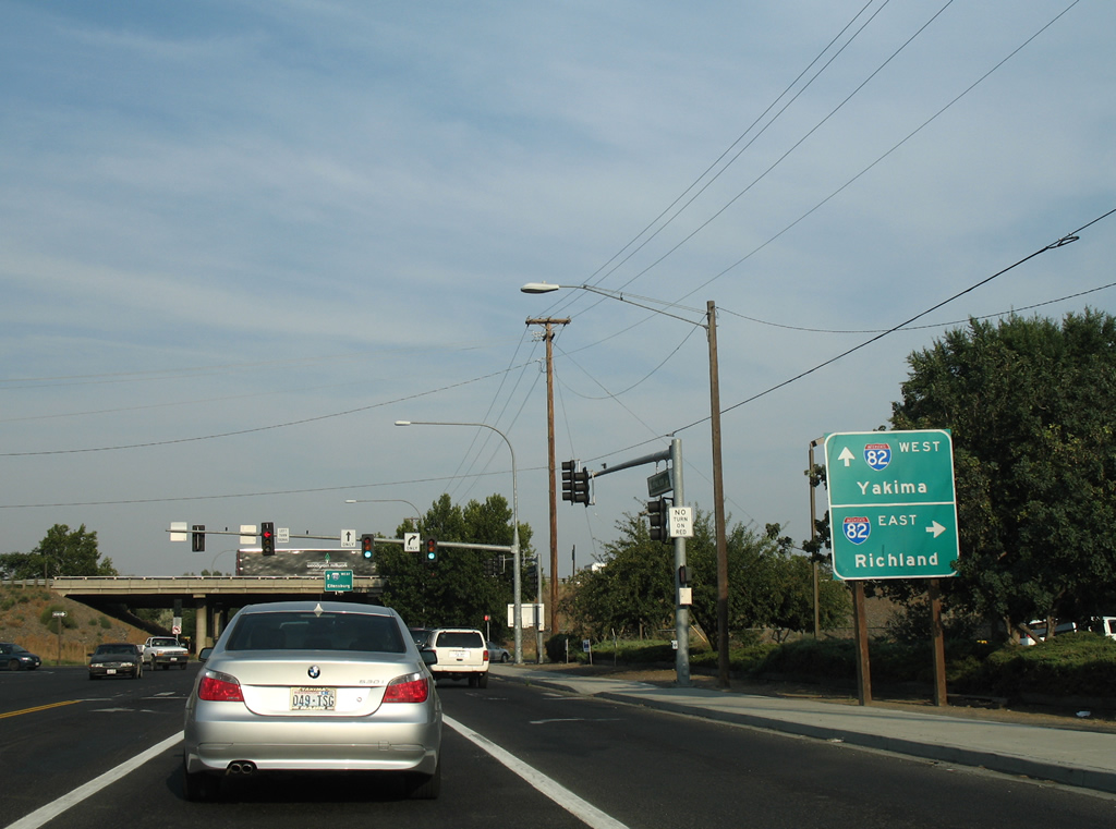
Interstate 82 travels south through Union Gap into Yakima Valley on the 70 mile drive to Richland (via Interstate 182). 08/28/06
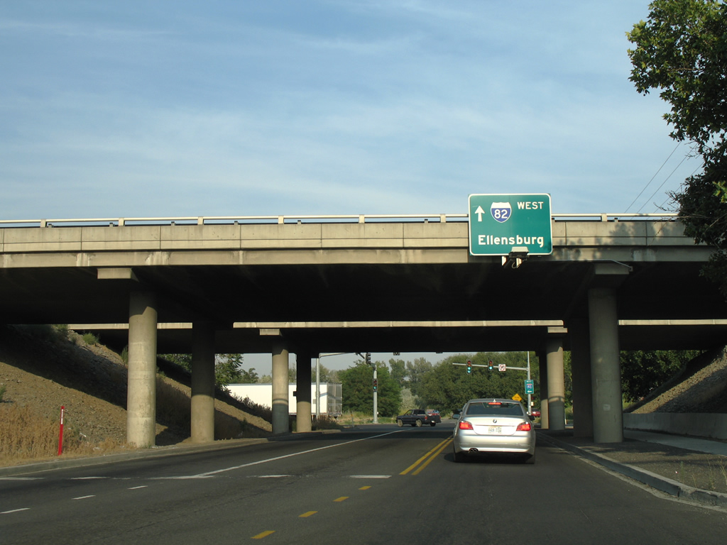
The Interstate 82 westbound control point switches from Yakima to Ellensburg on the sign attached to the freeway overpass. Interstate 82 travels north into Yakima on the 40 mile drive to Ellensburg (via Interstate 90). 08/28/06
Valley Mall Boulevard ends at a park on the Yakima River adjacent to the diamond interchange with I-82/U.S. 12-97. 08/28/06
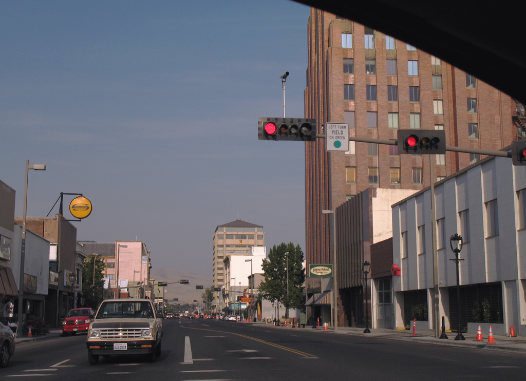
Yakima Avenue bisects downtown Yakima to I-82/U.S. 12-97 (Exit 33). The four lane boulevard passes by the A.E. Larson Building and The Tower, in this scene beyond 1st Street (former U.S. 97). 08/28/06