| California 58 west |
|
Two lanes transition from Interstate 15 south to California 58 west. This would be the continuation of Interstate 40 if that route is ever extended west to Bakersfield. Photo taken 03/15/09. |
|
The transition ramp from Interstate 15 north to California 58 west merges with the ramp from Interstate 15 south. This section of freeway opened in 1999. Photo taken 03/15/09. |
|
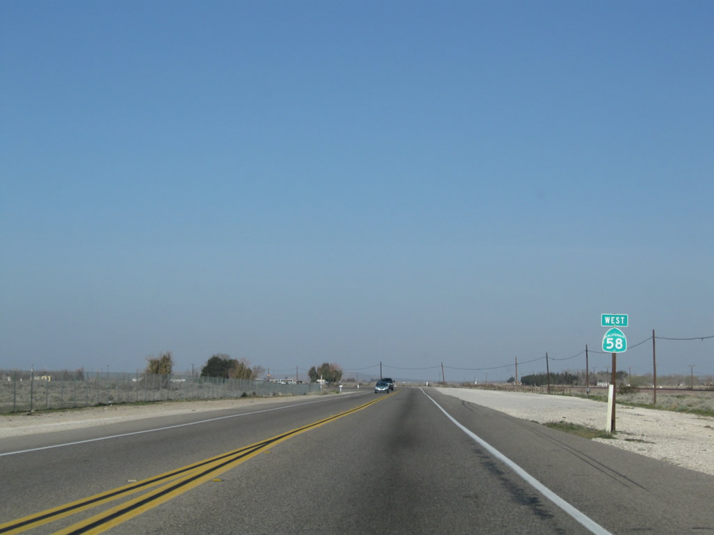
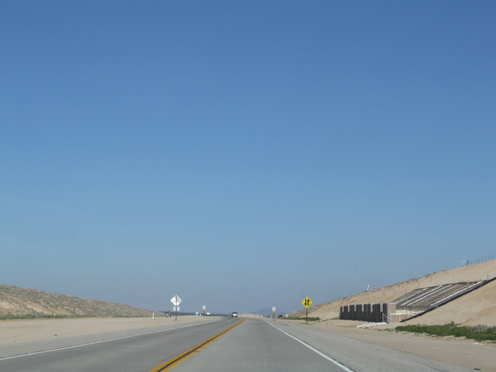
The right lane of California 58 west becomes exit only for the first exit, which is Exit 233, U.S. 66-91/Main Street north to Barstow and south to Victorville. Photo taken 03/15/09. |
|
Westbound California 58 reaches Exit 233, Main Street. Main Street leads north along old U.S. 66-91 into Barstow, connecting with Business Loop I-15. Main Street leads south as the National Trails Highway, which is old U.S. 66-91 en route to Victorville. Photo taken 03/15/09. |
|
Crossing over Main Street south of Barstow, California 58 retains two lanes to continue west toward Boron, Mojave, and Bakersfield. Photo taken 03/15/09. |
|
A California 58 west reassurance shield is posted after the on-ramp from Main Street. Photo taken 03/15/09. |
|
The California 58 freeway temporarily ends at Lenwood Road, about two miles west of here. (The overhead sign was missing when this picture was taken.) Photo taken 03/15/09. |
|
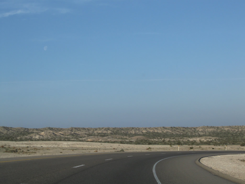
California 58 crosses over the Mojave River, which originates in the San Bernardino Mountains south of here and flows north into the desert, ending at a wash near Afton Canyon south of Baker and northeast of Barstow. Photo taken 03/15/09. |
|
The California 58 freeway ends one mile west of here. Photo taken 03/15/09. |
|
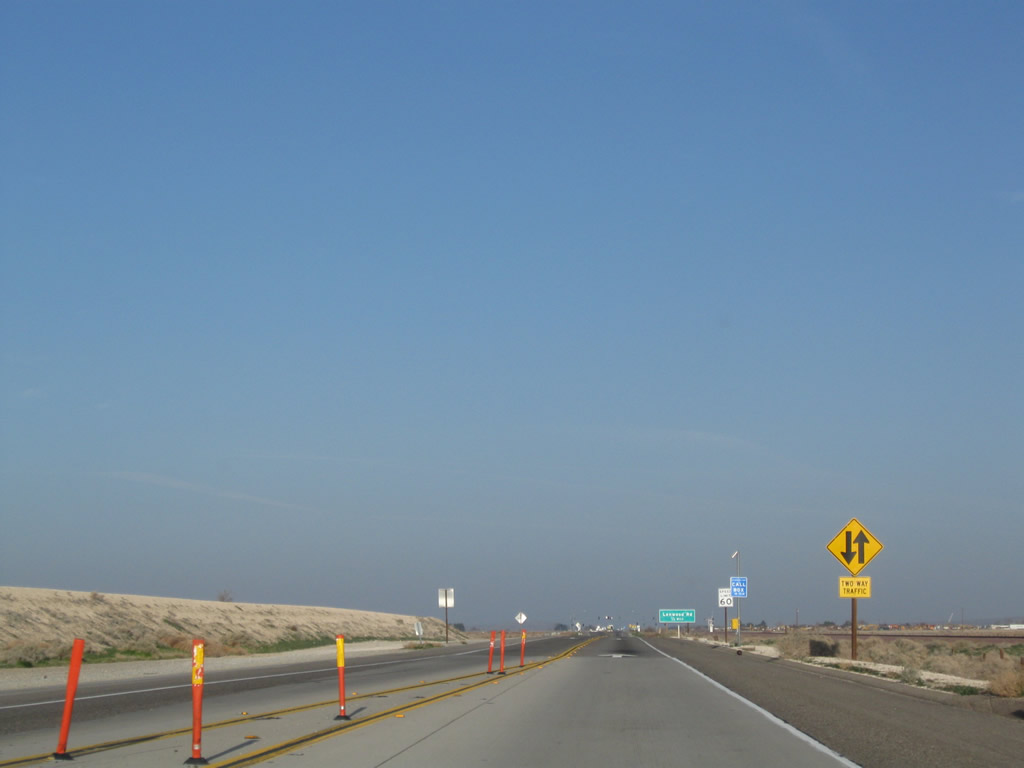
A series of warning signs advise of the end of the divided highway and end of the freeway. Photo taken 03/15/09. |
|
The California 58 freeway reduces to one lane in each direction prior to the Lenwood Road intersection. Photo taken 03/15/09. |
|
Westbound California 58 approaches Lenwood Road, 0.5 mile. Photo taken 03/15/09. |
|
Lenwood Road travels southeast toward the large outlet shopping center at the Interstate 15 interchange with Lenwood Road. All services are available at that location. Photo taken 03/15/09. |
|
Westbound California 58 meets Lenwood Road at this traffic signal. To Old U.S. 466, turn right here to "Old Highway 58" and then right (east) on Old Highway 58 to Interstate 15 northeast of Barstow. While U.S. 466 is not really acknowledged, it is designated as Old Highway 58. Photo taken 03/15/09. |
|
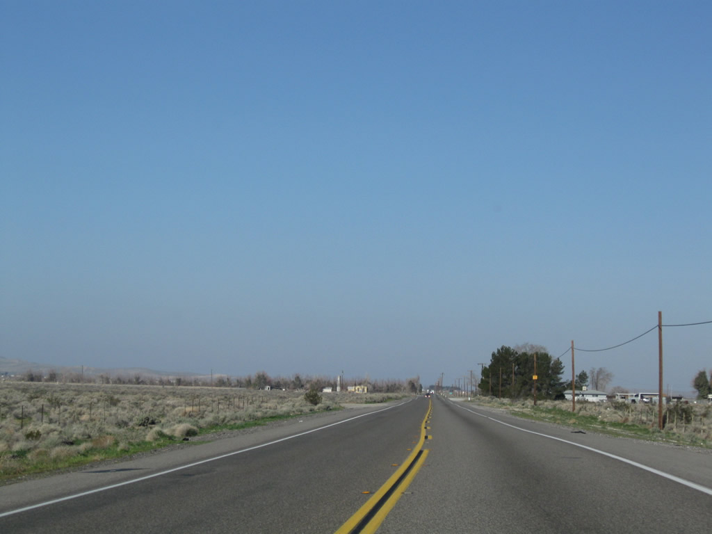
After the Lenwood Road intersection, California 58 reduces to a two-lane configuration. While mid-range plans call for construction of a freeway along this segment of California 58, it has not been built yet due to funding issues. Photo taken 03/15/09. |
|
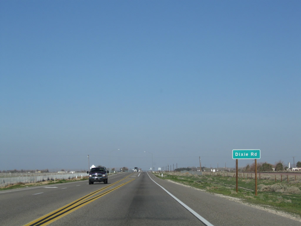
Westbound California 58 approaches Dixie Road west of Barstow. Photo taken 03/15/09. |
|
This California 58 reassurance shield is posted after the Dixie Road intersection. Photo taken 03/15/09. |
|
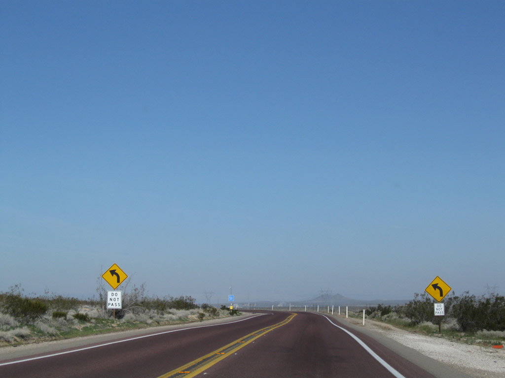
The two-lane expressway segment of California 58 shifts onto the old alignment here. Photo taken 03/15/09. |
|
Westbound California 58 next approaches Summerset Road. Photo taken 03/15/09. |
|
The succeeding intersection along SR 58 west is with Fairview Road. Photo taken 03/15/09. |
|
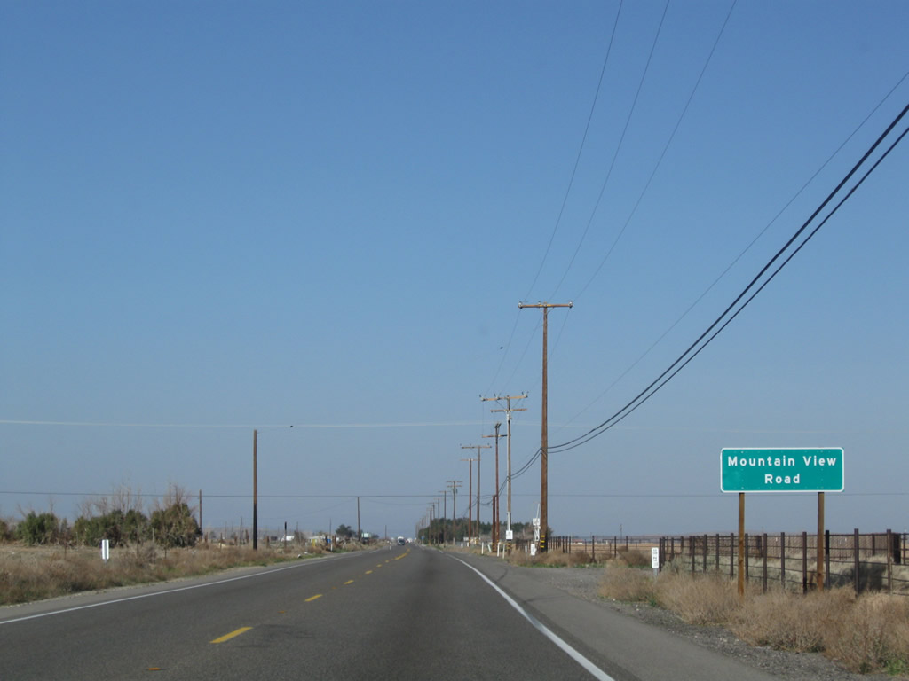
Mountain View Road is up next along California 58 east. Photo taken 03/15/09. |
|
Next up is Hinkley Road. Photo taken 03/15/09. |
|
Soon thereafter is Flower Street. Photo taken 03/15/09. |
|
A divided road is two miles ahead. The traffic was not bad on the morning we were there, but it can be much worse during the week. Photo taken 03/15/09. |
|
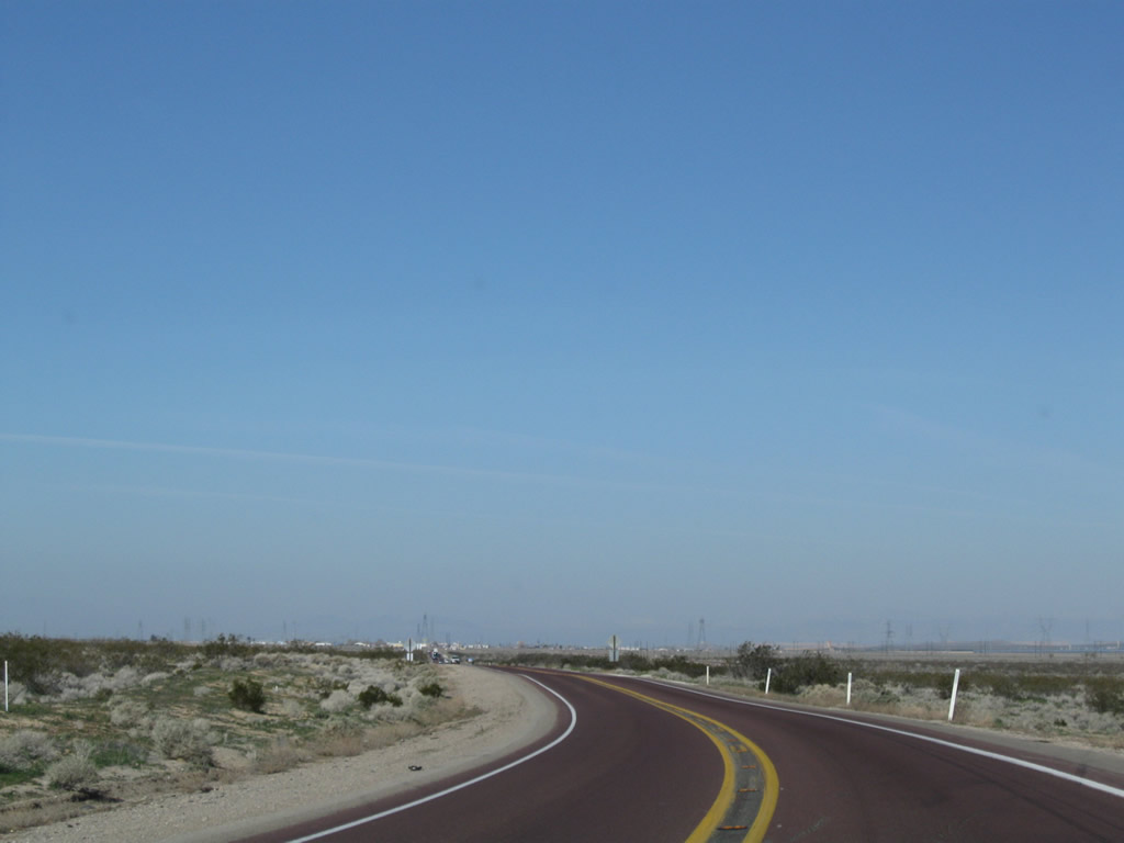
The highway retains two lanes until the divided highway segment. Photo taken 03/15/09. |
|
|
|
| SR 58 west transitions from a two-lane highway to four-lane expressway. Photos taken 03/15/09. |
|
|
|
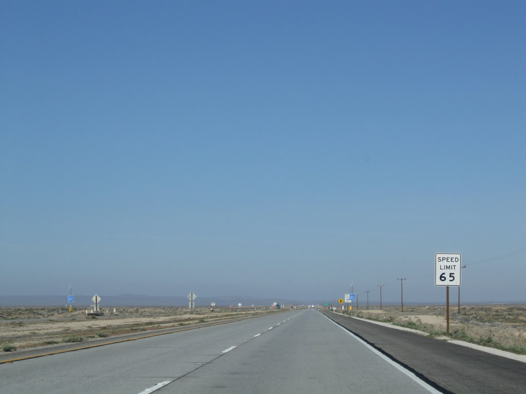
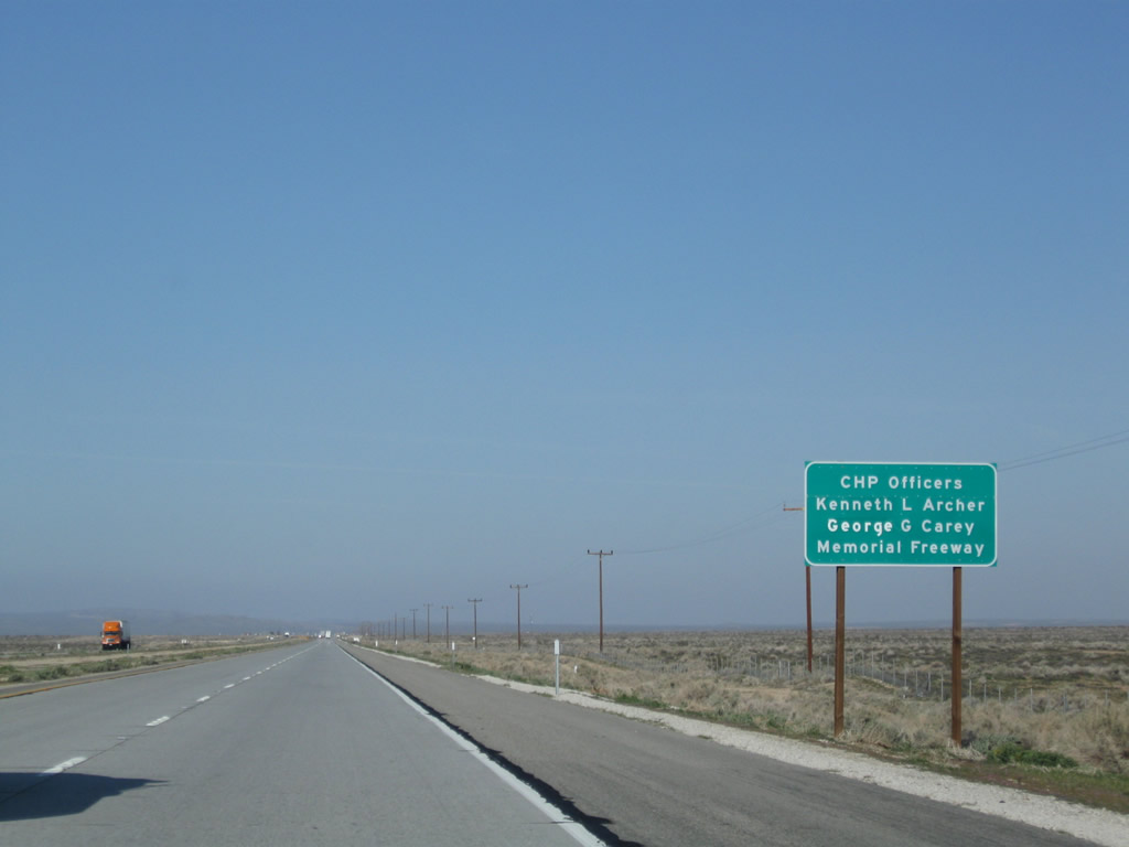
| The speed limit increases to 65 miles per hour along the SR 58 expressway. The four-lane highway is dedicated to CHP Officers Kenneth L. Archer and George G. Carey. Photos taken 03/15/09. |
|
The next major intersection is with Helendale Road south to Helendale and Harper Lake Road north to Harper Dry Lake. Photo taken 03/15/09. |
|
Confirming marker for SR 58 east posted after Helendale and Harper Lake Roads. Photo taken 03/15/09. |
|
|
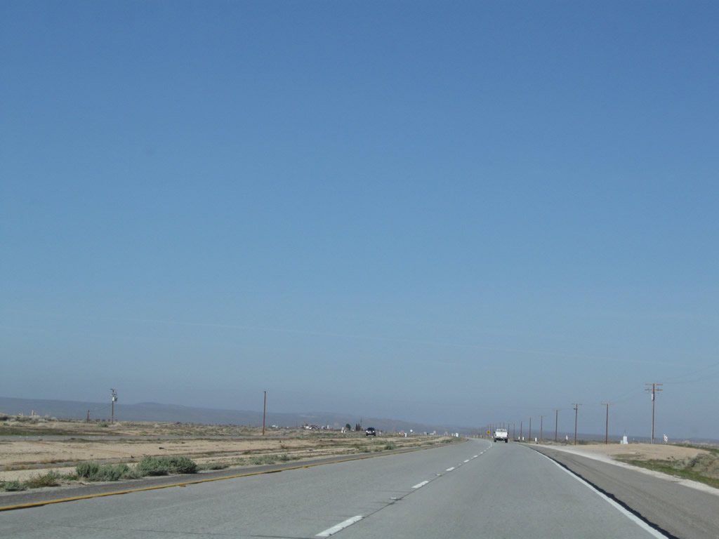
SR 58 reverts to a two-lane highway and continues west seven miles to Kramers Junction. Photos taken 03/15/09. |
|
Sufficient rights of way exists here for eventual conversion of California 58 into a freeway. Photo taken 03/15/09. |
|
|
|
A stub ramp shows the intent to extend California 58 west as a freeway toward Kramer Junction. The concrete roadway ends and shifts onto asphalt, which is a sign that Caltrans intends to build a more permanent (i.e., concrete) roadway here. Photos taken 03/15/09. |
|
|
|
Some sand dunes line the north side of the highway along what would be the westbound lanes. We are driving on the eventual eastbound lanes at this point. Photos taken 03/15/09. |
|
A California 58 reassurance shield is posted soon thereafter. Photo taken 03/15/09. |
|
California 58 continues west on a two-lane alignment en route to Kramer Junction. Photo taken 03/15/09. |
|
|
|
At the curve ahead, California 58 turns west toward Kramer Junction. A 500kV power line comes into view; this line originates near Hoover Dam and travels southwest through the desert toward greater Los Angeles. Photo taken 03/15/09. |
|
|
|
The 500kV power line crosses over California 58 prior to entering Kramer Junction. Photo taken 03/15/09. |
|
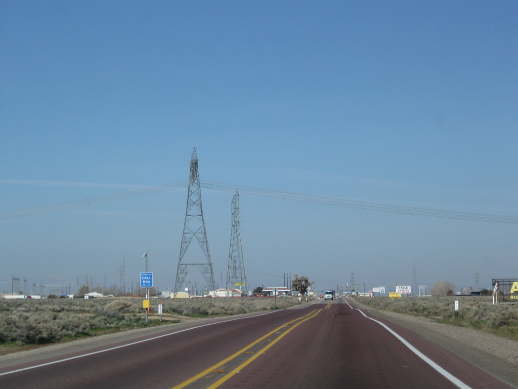
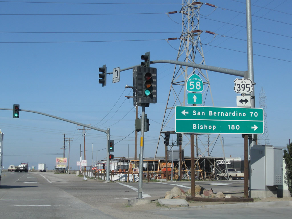
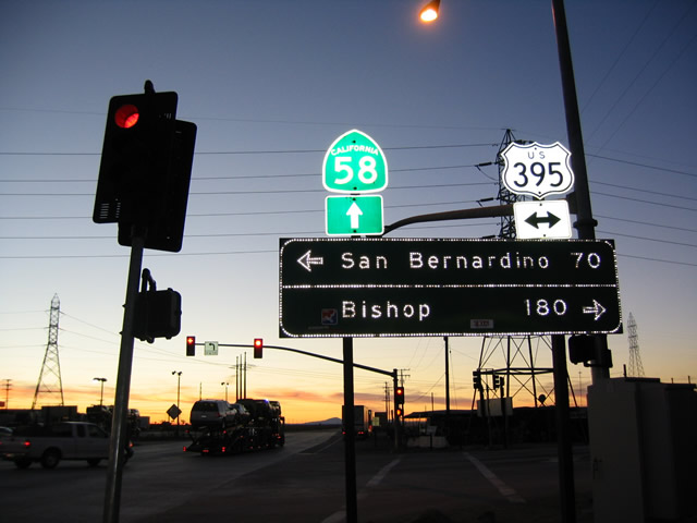
Westbound California 58 enters the unincorporated community of entering Kramer Junction. Food and gas are available in Kramer Junction. Turn north on U.S. 395 to shop at an antique store (located on the west side of U.S. 395 after crossing the railroad tracks). This antique store is adorned with old highway signs. Photo taken 03/15/09. |
|
|
U.S. 395 leads south to Hesperia, where it is absorbed into Interstate 15 en route to San Bernardino, Riverside, and San Diego. Heading north, U.S. 395 leads to Ridgecrest, Owens Valley, Lone Pine, Independence (Inyo County seat), Big Pine, Bishop, Mammoth, and Reno. Photos taken 03/15/09 and 01/20/04. |
|
|
Westbound California 58 meets U.S. 395 at this traffic signal in Kramer Junction (Four Corners). This intersection presents a significant delay for east-west travelers, as California 58 is narrowed to only two lanes and carries freeway volumes of traffic. This area is programmed to be bypassed, but it is unclear when that bypass would be constructed. In the 2004 photo, the section of U.S. 395 from Interstate 15 north to California 14 is relatively empty, even though U.S. 395 typically carries a good amount of traffic between the Inland Empire and the Eastern Sierra. Photos taken 03/15/09 and 01/20/04. |
|
After the U.S. 395 intersection, watch for turning trucks due to the nearby truck stop. After the truck stop, California 58 resumes its rural run through western San Bernardino County. Photo taken 03/15/09. |
|
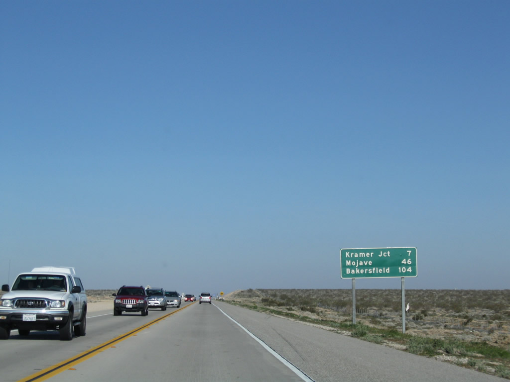
This mileage sign provides the distance to Boron (six miles), Mojave (37 miles), and Bakersfield (95 miles). Photo taken 03/15/09. |
|
California 58 only carries two lanes until it crosses over the railroad tracks and meets freeway at the Kern County line. Plans call for this section to be bypassed with a freeway eventually, as funding becomes available. Photo taken 03/15/09. |
|
|
|
|
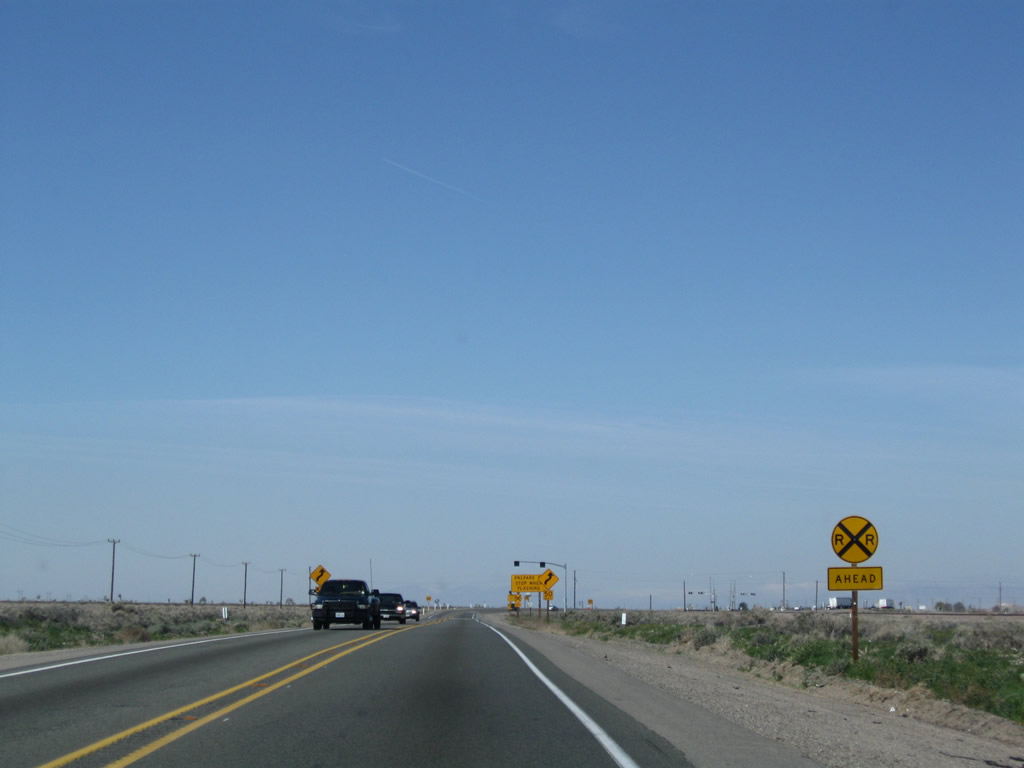
Ahead, California 58 will cross the railroad at-grade. Watch again for slow or stopped traffic in case if a train is crossing at this intersection. Photos taken 03/15/09. |
|
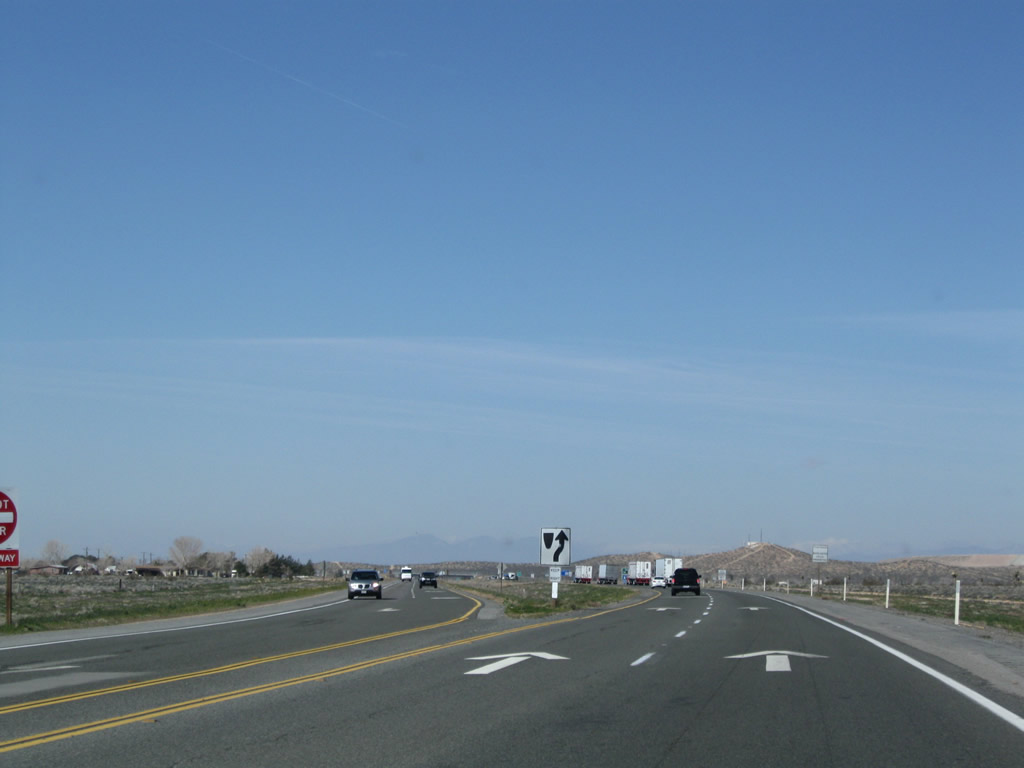
After crossing the railroad, the highway still retains two lanes. Photo taken 03/15/09. |
|
The next major intersection is with California 58 Business (Twenty Mule Team Road) west to Boron. This is also Historic U.S. 466. After this intersection, California 58 will widen into a freeway. Photo taken 03/15/09. |
|
|
|
After the business route intersection, the highway again widens into freeway configuration to bypass Boron and Edwards Air Force Base. Photos taken 03/15/09. |
|
The first interchange along this section of California 58 freeway is Exit 199, Boron Avenue south to Boron, with a connection to California 58 Business (Old U.S. 466). Photo taken 03/15/09. |
|
Prior to the first exit ramp from California 58 west (Exit 199, Boron Avenue) is the San Bernardino-Kern County line. From this point west through Bakersfield, California 58 will pass through Kern County. Photo taken 03/15/09. |
Page Updated September 9, 2009.