

California 70 East - Western Plumas County
| California 70 east | ||||
|---|---|---|---|---|
 |
 |
 |
 |
 |
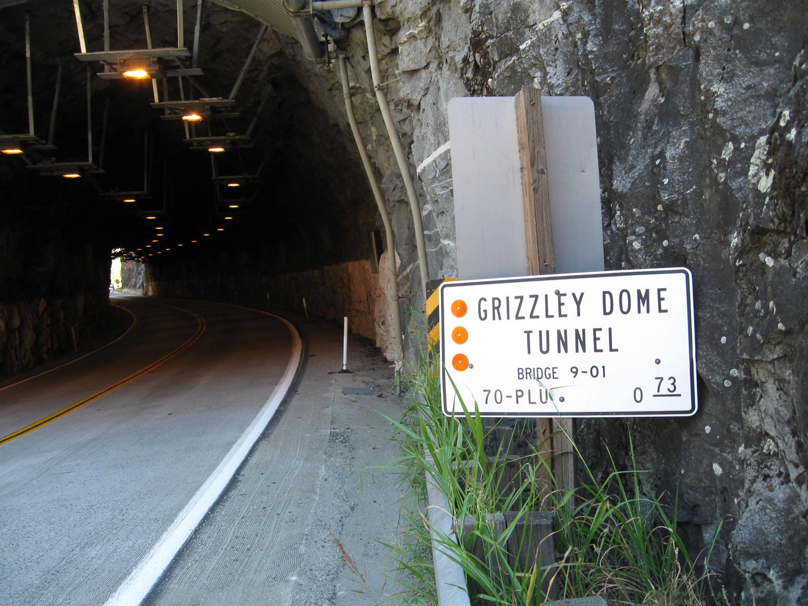
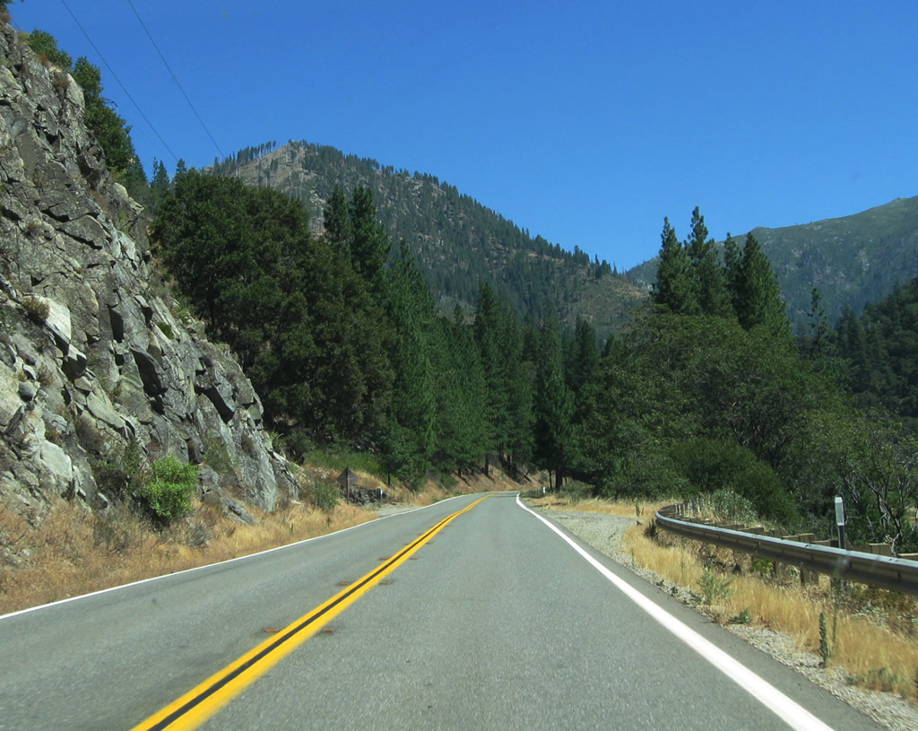
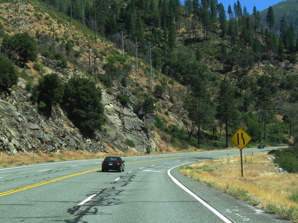
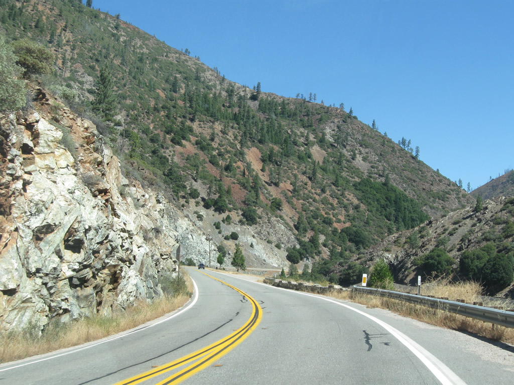
| Upon entering Plumas County and after passing through the Arch Rock Tunnel, eastbound California 70 immediately approaches the second in a series of the three tunnels. Motorists along California 70 next see Grizzly Dome Tunnel followed by Elephant Butte Tunnel. Like the other tunnels, Grizzly Dome Tunnel was constructed in 1937 as part of the larger project to complete the entire alignment of the original State Sign Route 24 - Feather River Highway that same year. The Grizzly Dome Tunnel is 390 feet long, longer than the Arch Rock Tunnel yet shorter than the Elephant Butte Tunnel.1,2 By leaving Butte County and entering Plumas County, SR 70 leaves Caltrans Maintenance District 3 and enter Caltrans Maintenance District 2. Photos taken 09/04/10. | ||||
 |
 |
 |
 |
 |
 |
 |
 |
 |
 |
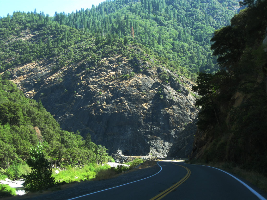
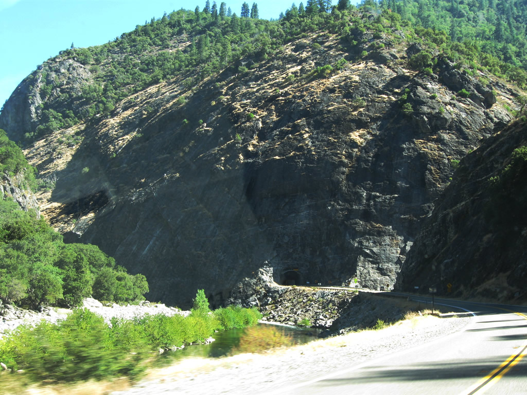
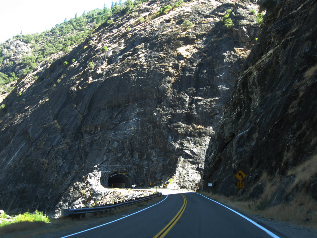
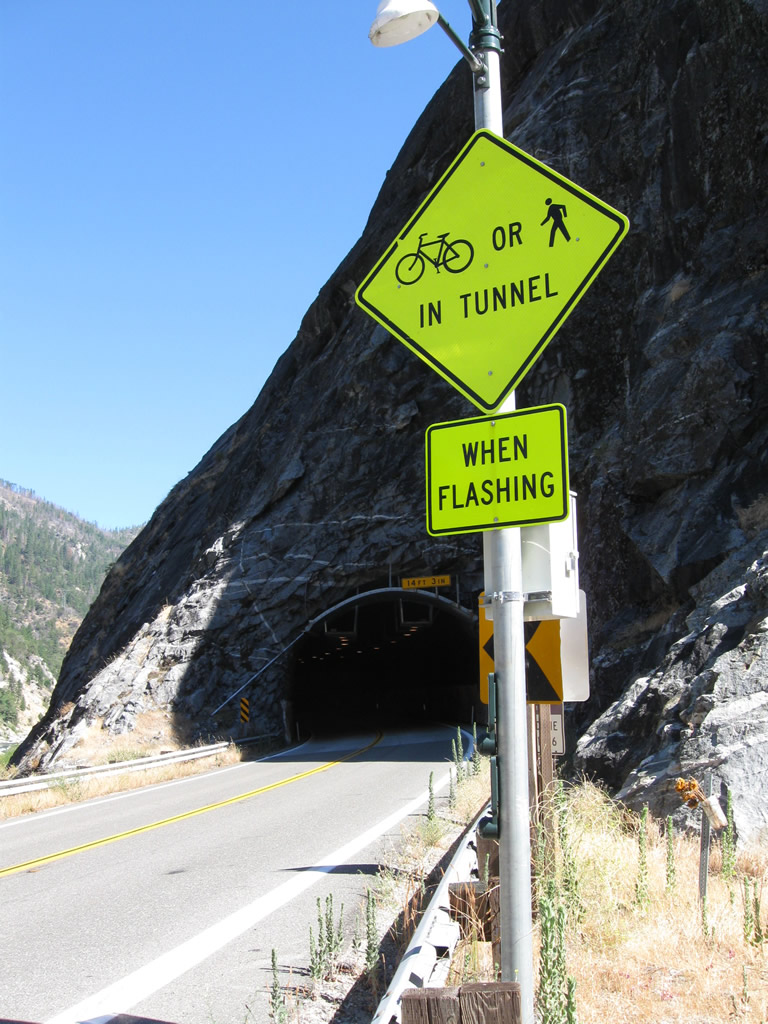
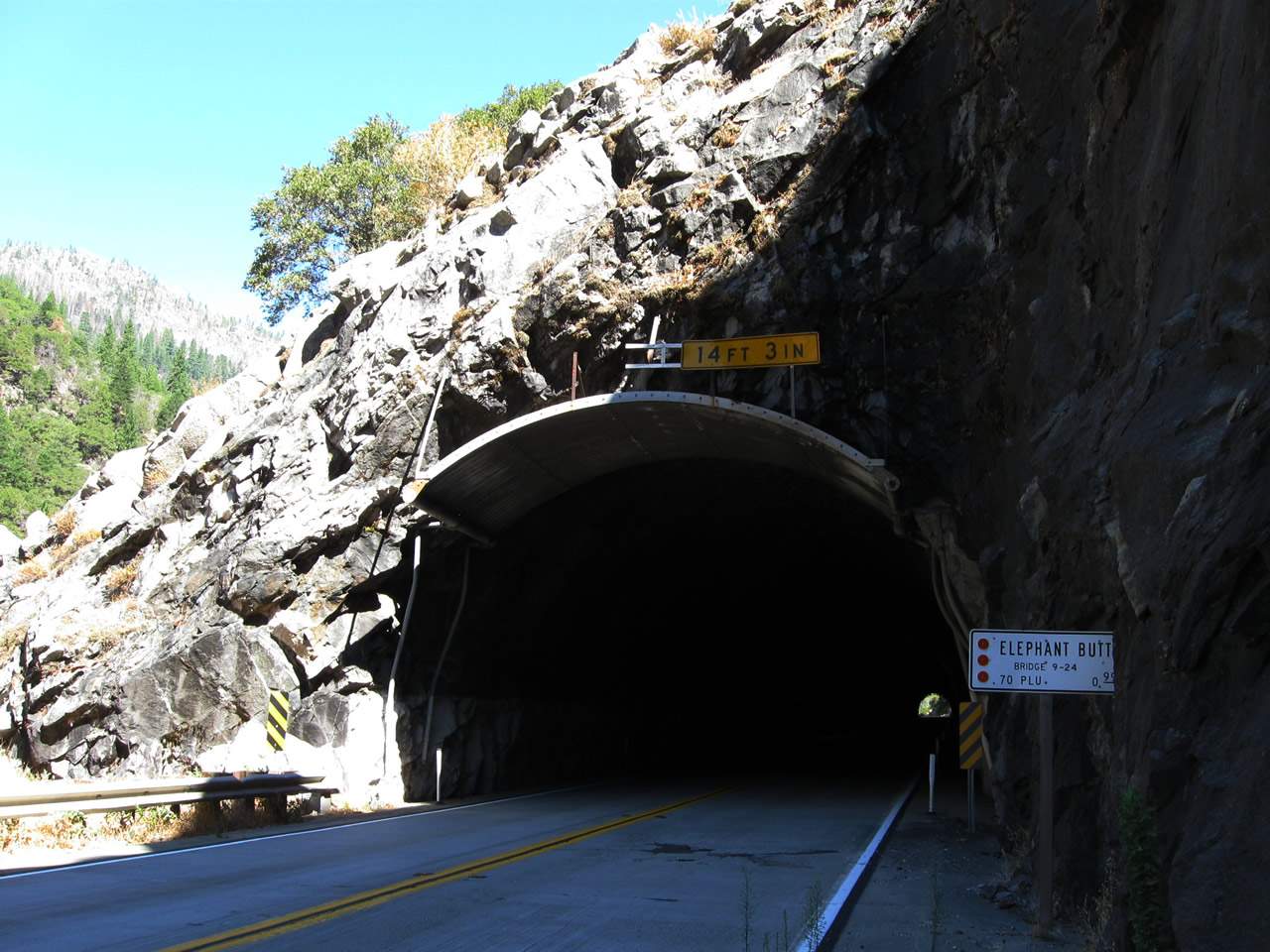
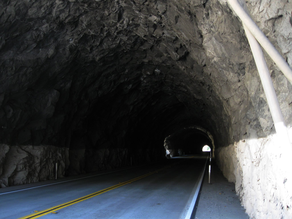
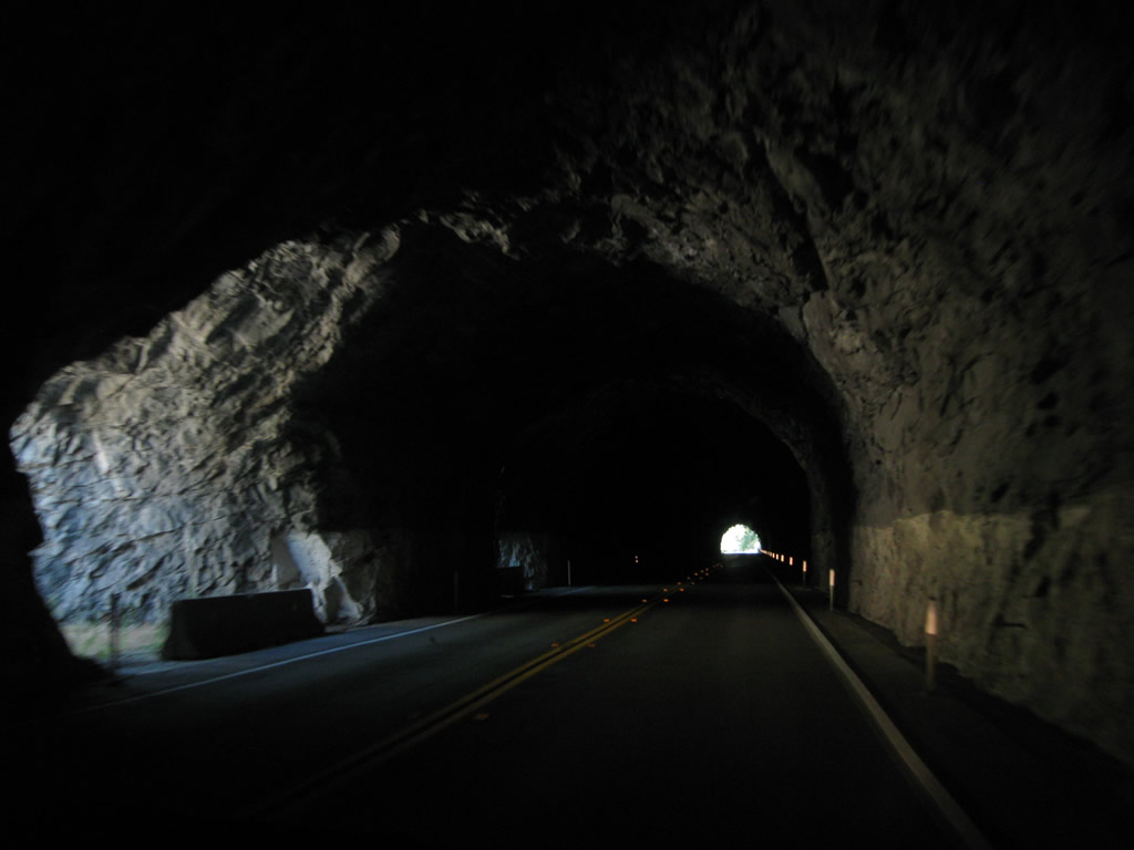
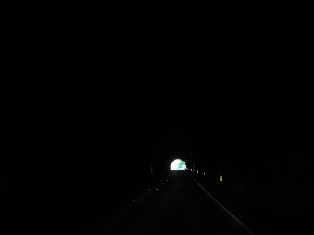
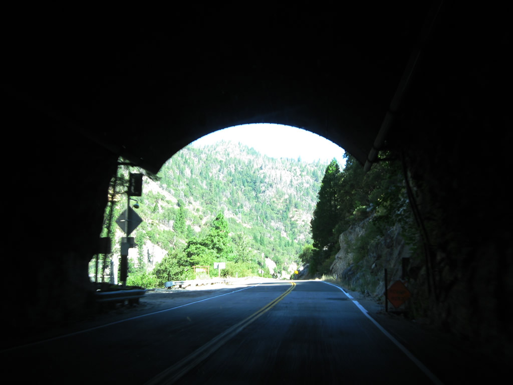
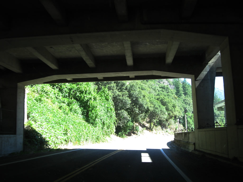
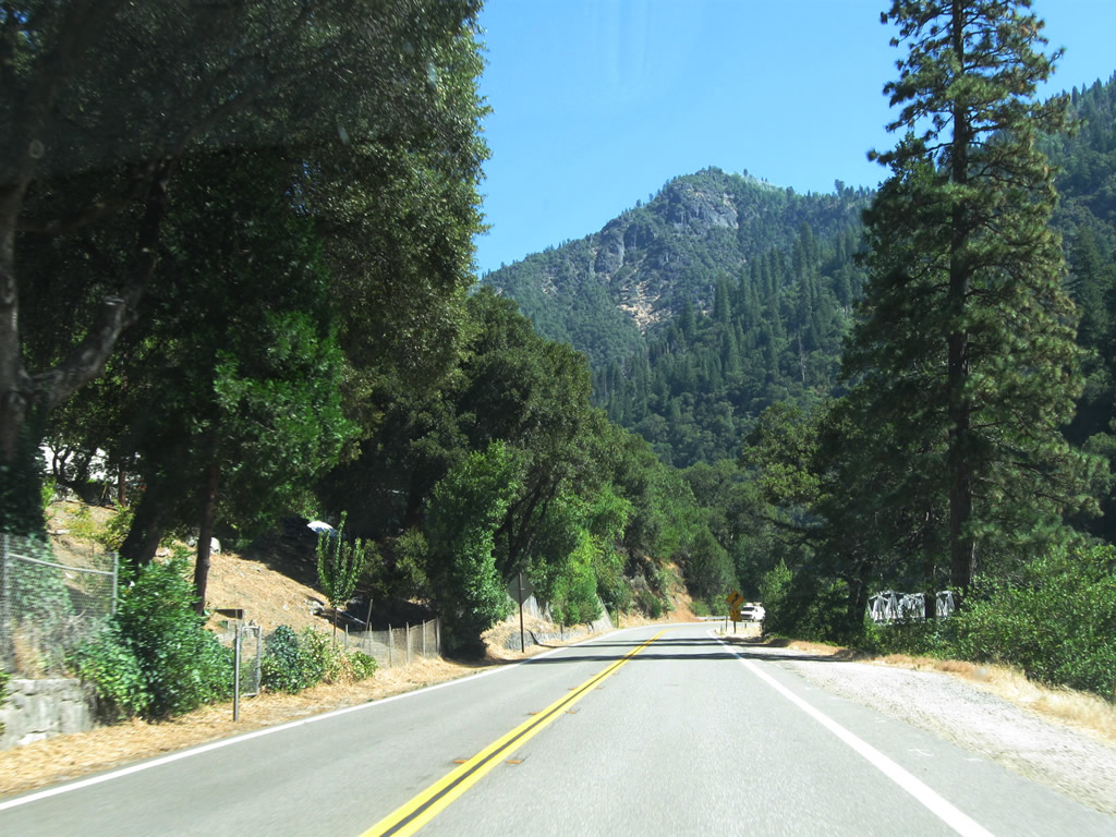
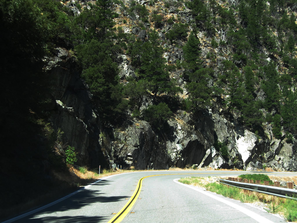
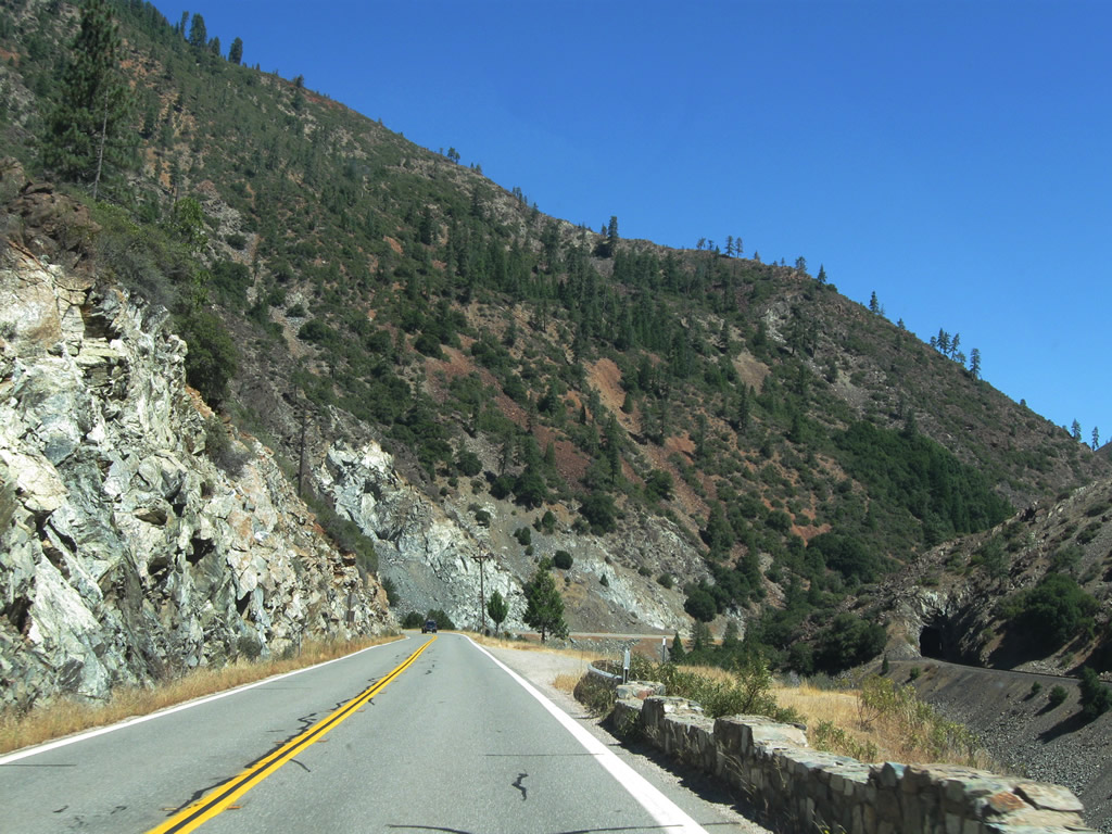
| After passing through the Arch Rock Tunnel and Grizzly Dome Tunnel, eastbound California 70 next approaches the third in a series of the three tunnels. Motorists along California 70 next enter the Elephant Butte Tunnel. Like the other tunnels, Elephant Butte Tunnel was constructed in 1937 as part of the larger project to complete the entire alignment of the original State Sign Route 24 - Feather River Highway that same year. This tunnel was not originally planned for construction but was necessary due to unstable geological conditions above the highway at this location. Elephant Butte Tunnel is 1,187 feet in length, making it the longest of this group of tunnels.2 Photos taken 09/04/10. | ||||
 |
 |
 |
 |
 |
 |
 |
 |
 |
 |
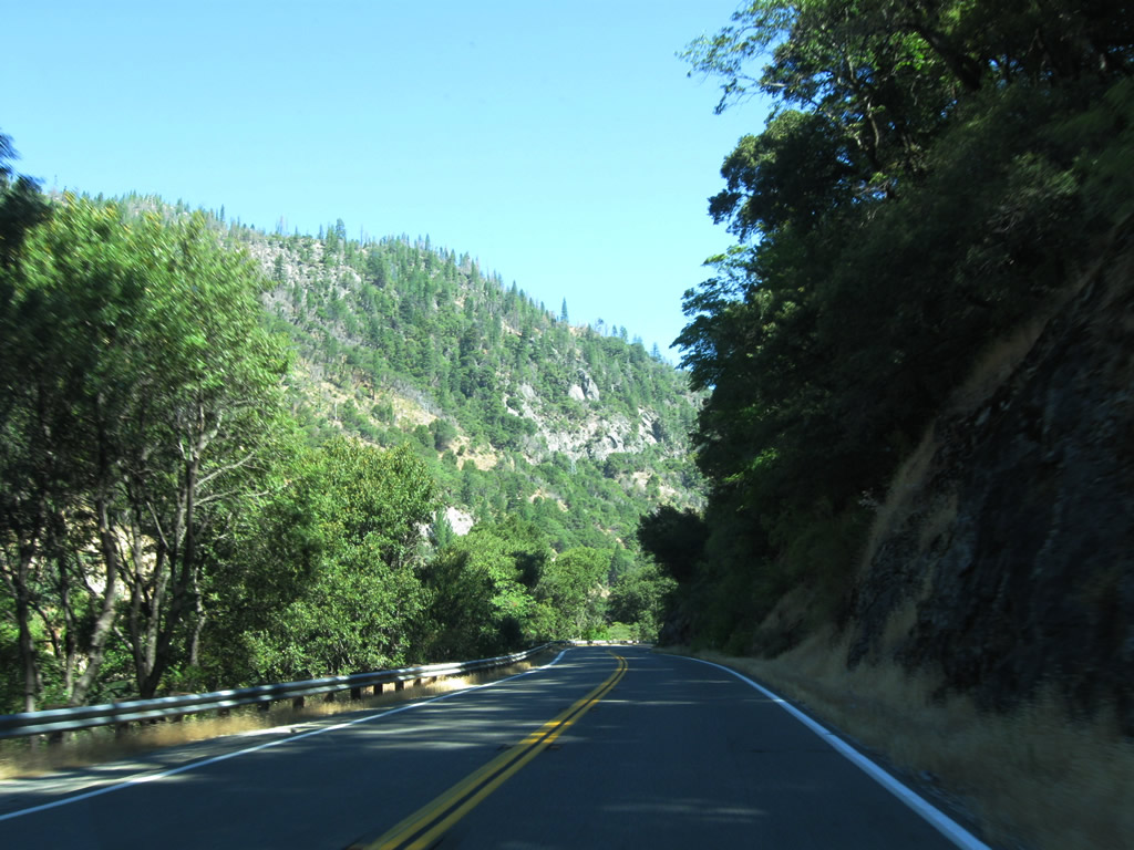
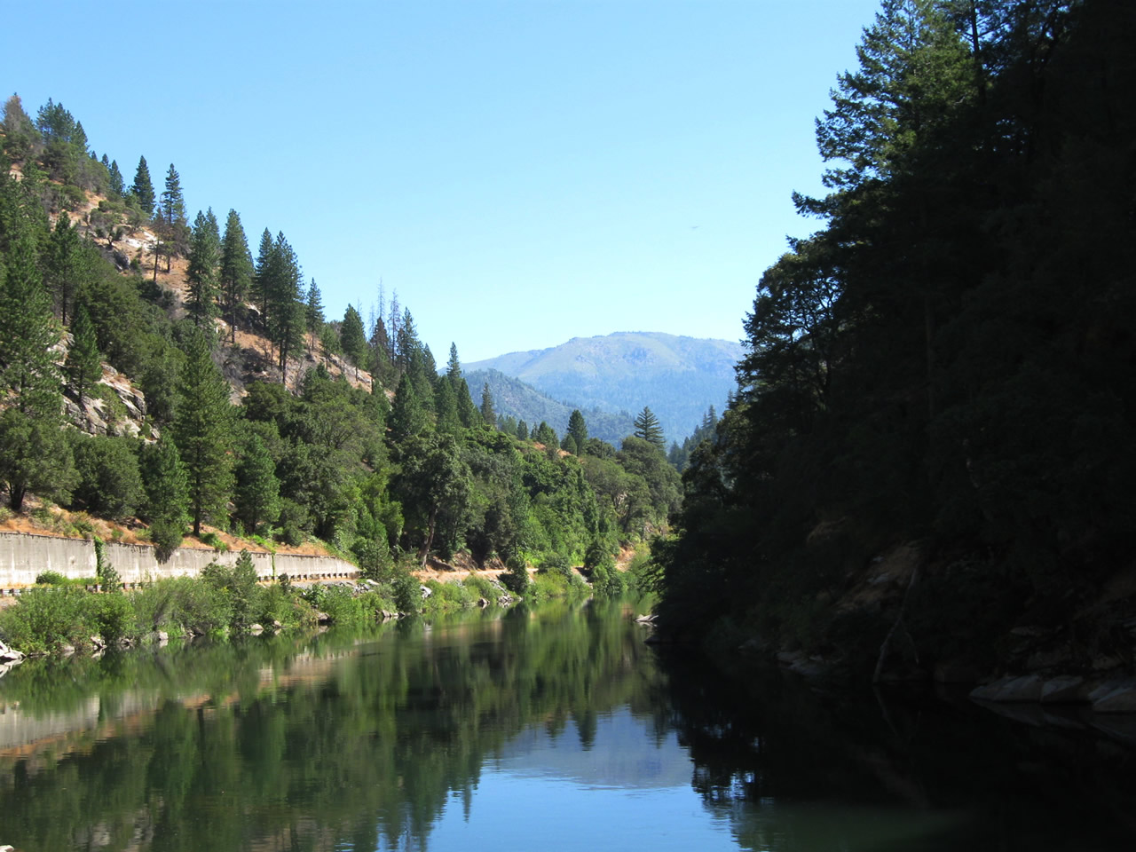
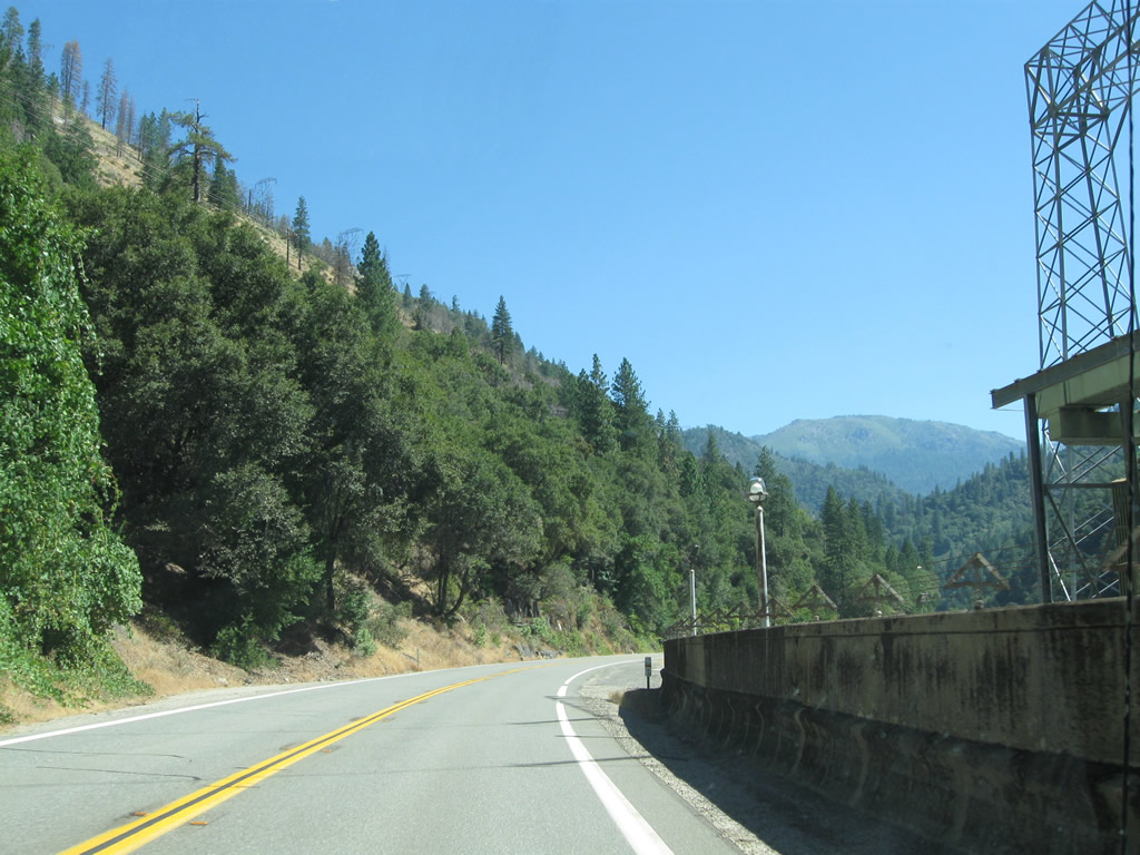
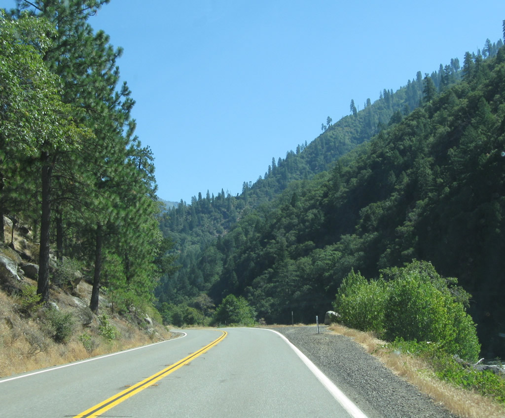
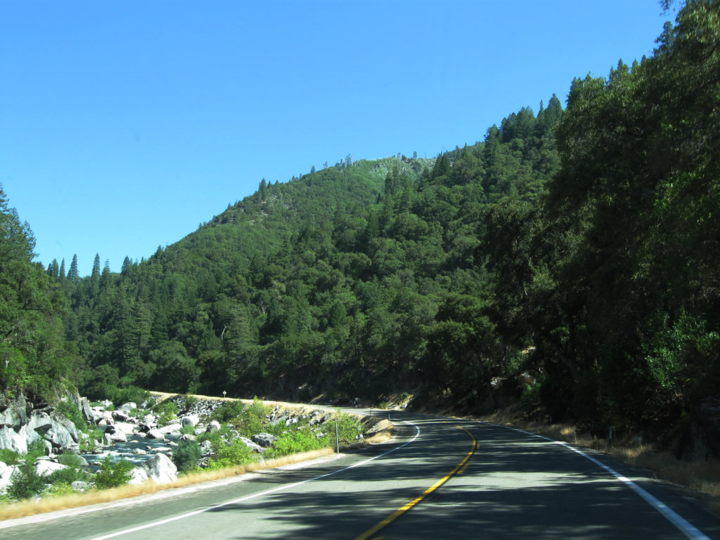
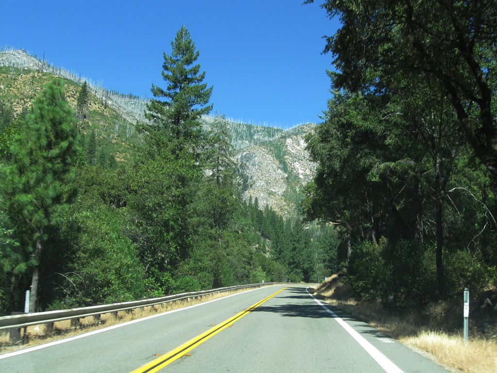
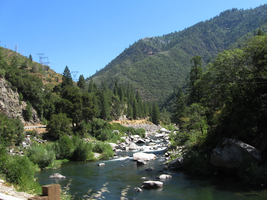
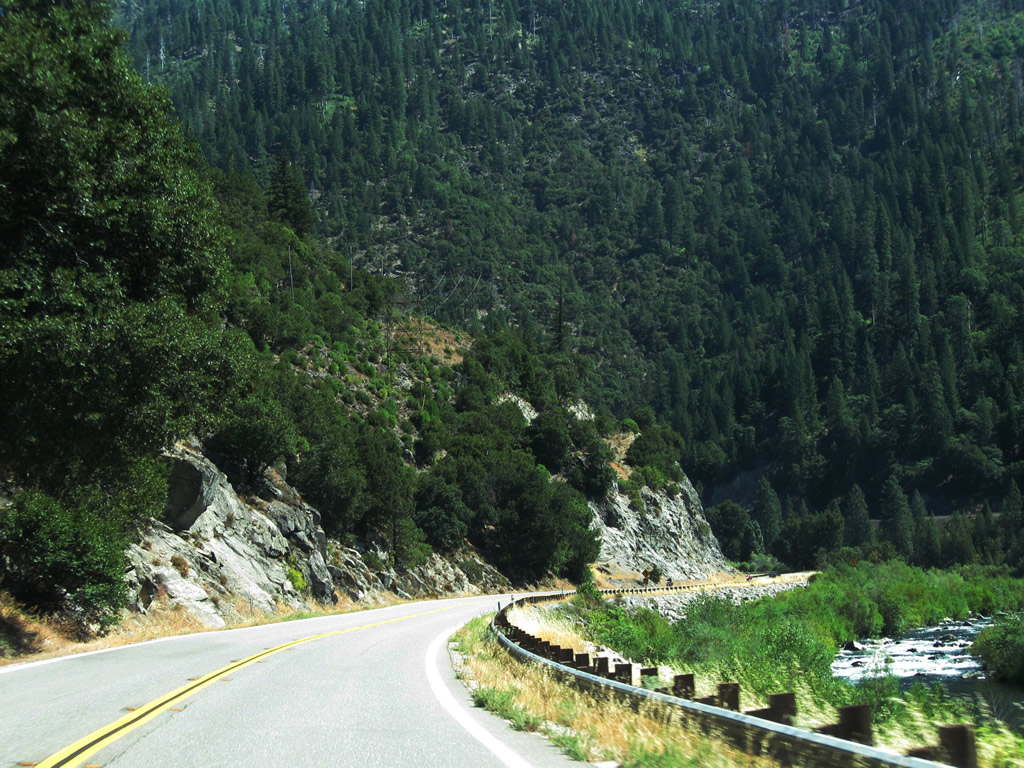
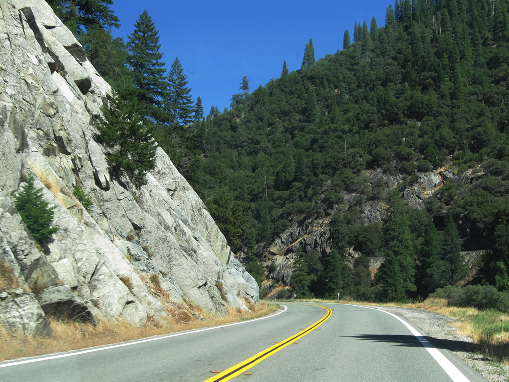
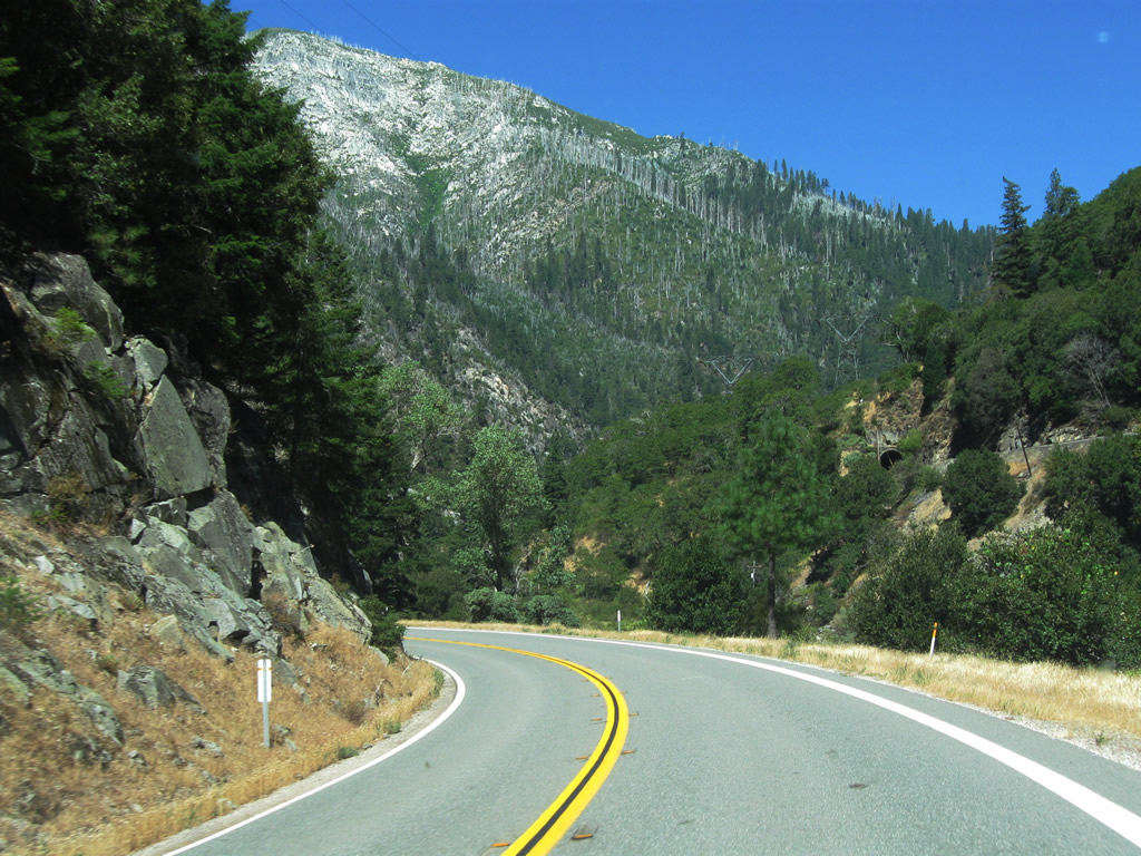
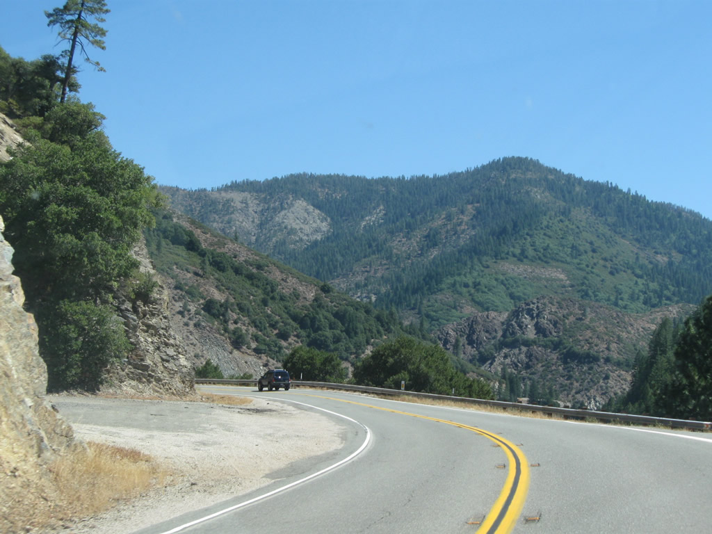
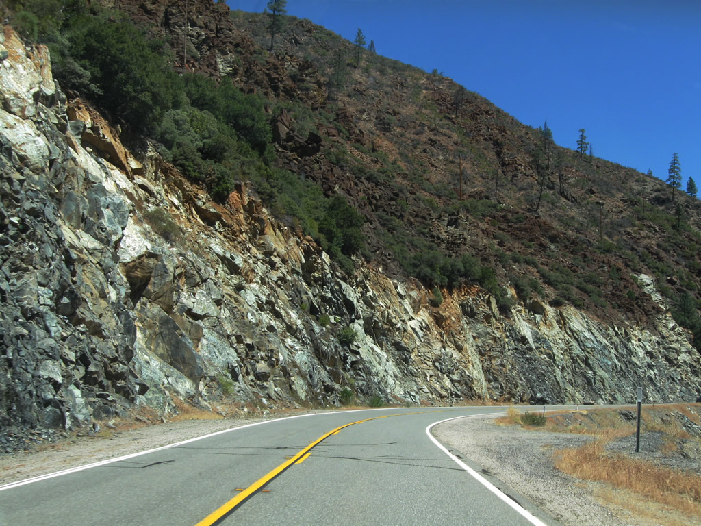
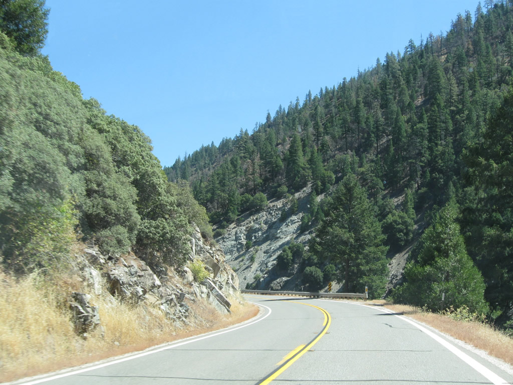
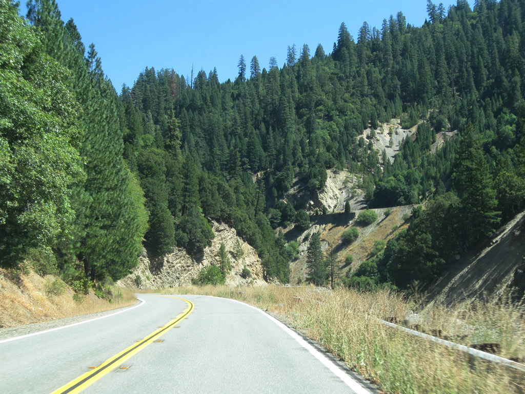
| Eastbound California 70 leaves Elephant Butte Tunnel and proceeds through more of Feather River Canyon. The views of the surrounding canyon and river are nothing short of stunning. Photos taken 09/04/10. | ||||
 |
 |
 |
 |
 |
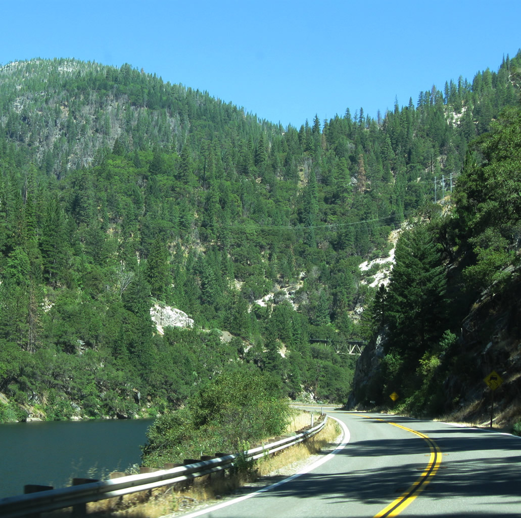
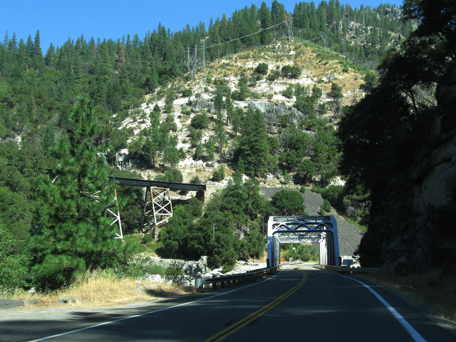
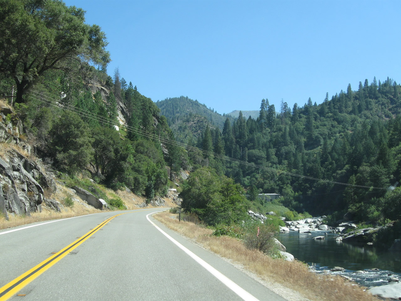
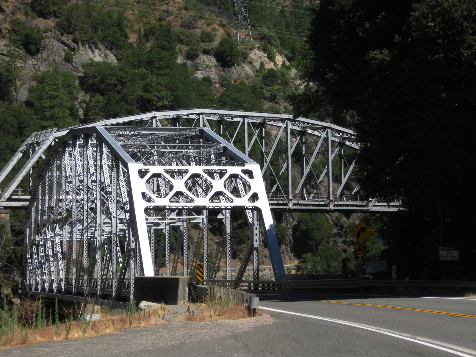
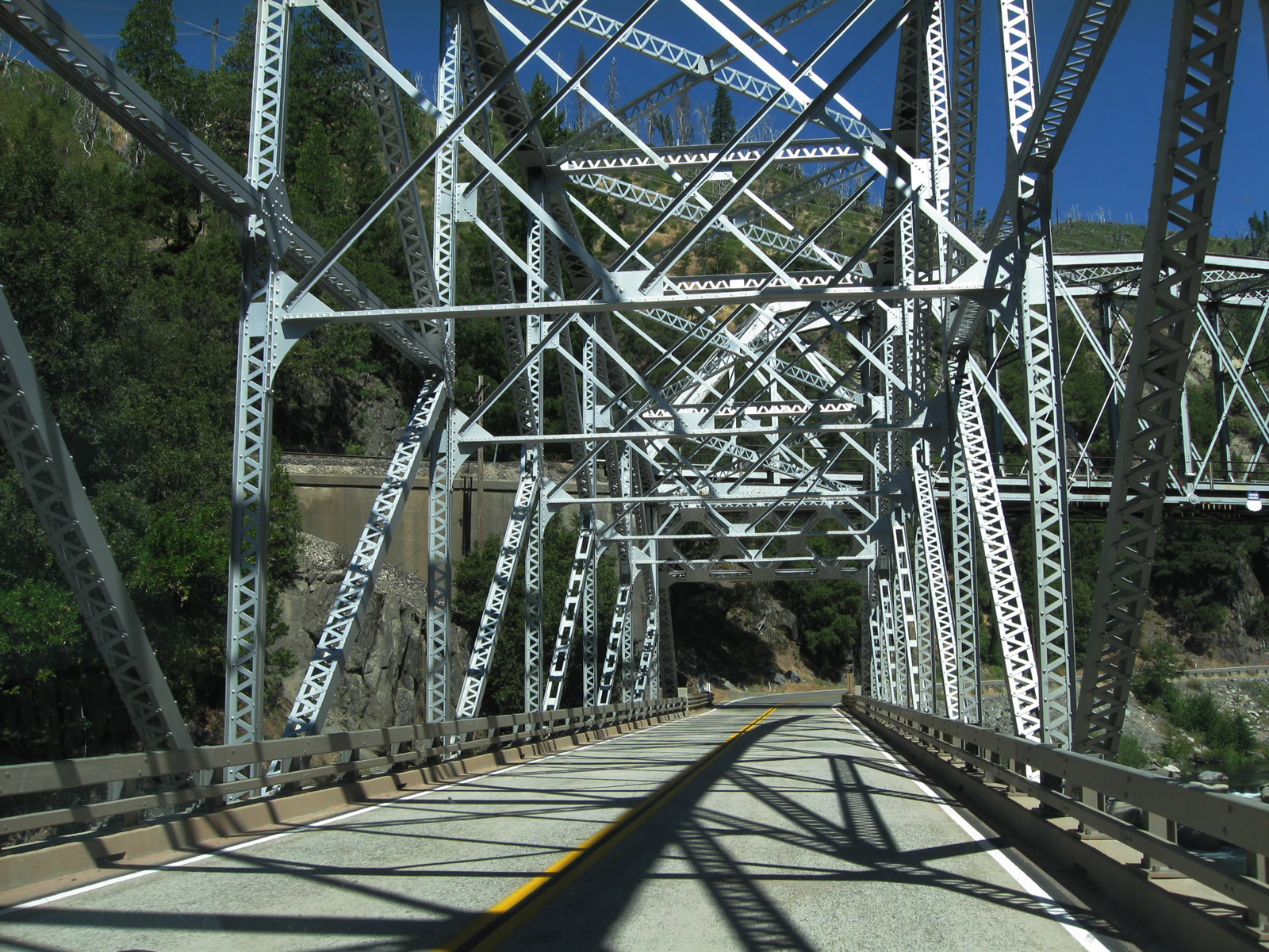
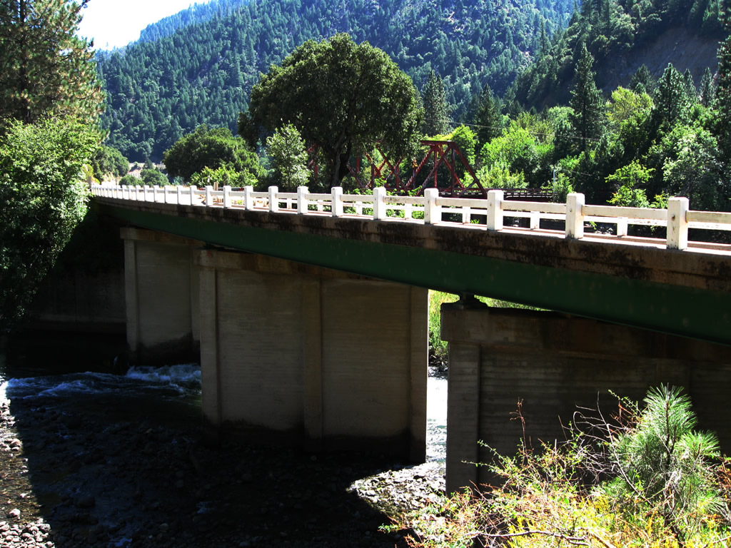
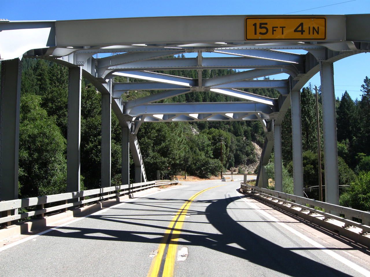
| Proceeding east, California 70 stays alongside the south/east bank of the North Fork of the Feather River Canyon. A through steel truss bridge, which was built in 1936, carries California 70 to the opposing bank. A railroad bridge is also visible behind the highway bridge; this time the railroad is at a higher elevation than the highway bridge. Photos taken 09/04/10. | ||||
 |
 |
 |
 |
 |
 |
 |
 |
 |
 |
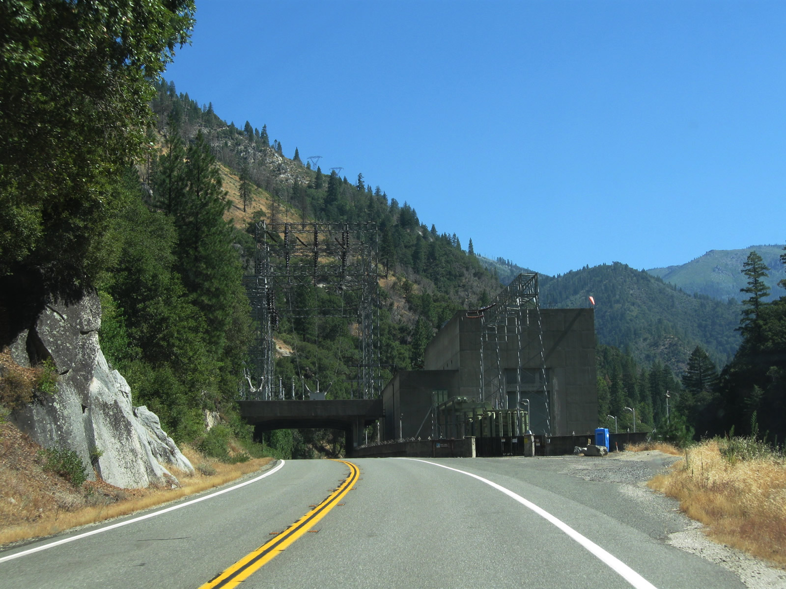
| The Rock Creek Powerhouse, which includes the 1949-built hydroelectric facility and electrical substation, are partially located on top of California 70 due to the limited space for the substation, highway, railroad and diversion structure. The result is a very unusual substation located on top of the state route. Photos taken 09/04/10. | ||||
 |
 |
 |
 |
 |
| This series of pictures follows California 70 (Feather River Highway) east between the Rock Creek and Buck Creek Powerhouses, both of which are operated by Pacific Gas & Electric. Photos taken 09/04/10. | ||||
 |
 |
 |
 |
 |
| California 70 (Feather River Highway) continues east from the Buck Creek powerhouse to the unincorporated community of Storrie. Photos taken 09/04/10. | ||||
 |
 |
 |
 |
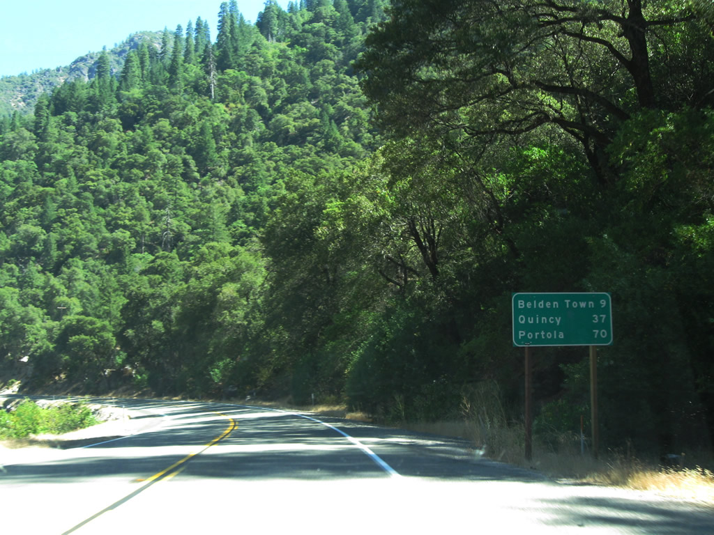 |
| Leaving Storrie, California 70 (Feather River Highway) will again switch from the north bank back to the south bank of the North Fork of the Feather River. The Storrie Bridge continues east from the Buck Creek powerhouse to the unincorporated community of Storrie. Like most bridges along this section of California 70, the Storrie Bridge was built in 1936, and it is a steel pony truss bridge. A mileage sign at the end of the bridge provides the distance to Belden Town (nine miles), Quincy (37 miles), and Portola (70 miles). Photos taken 09/04/10. | ||||
 |
 |
 |
 |
 |
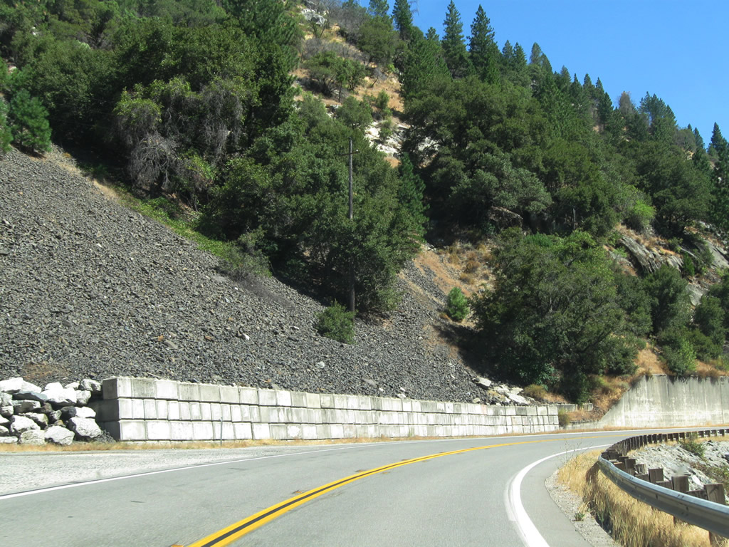
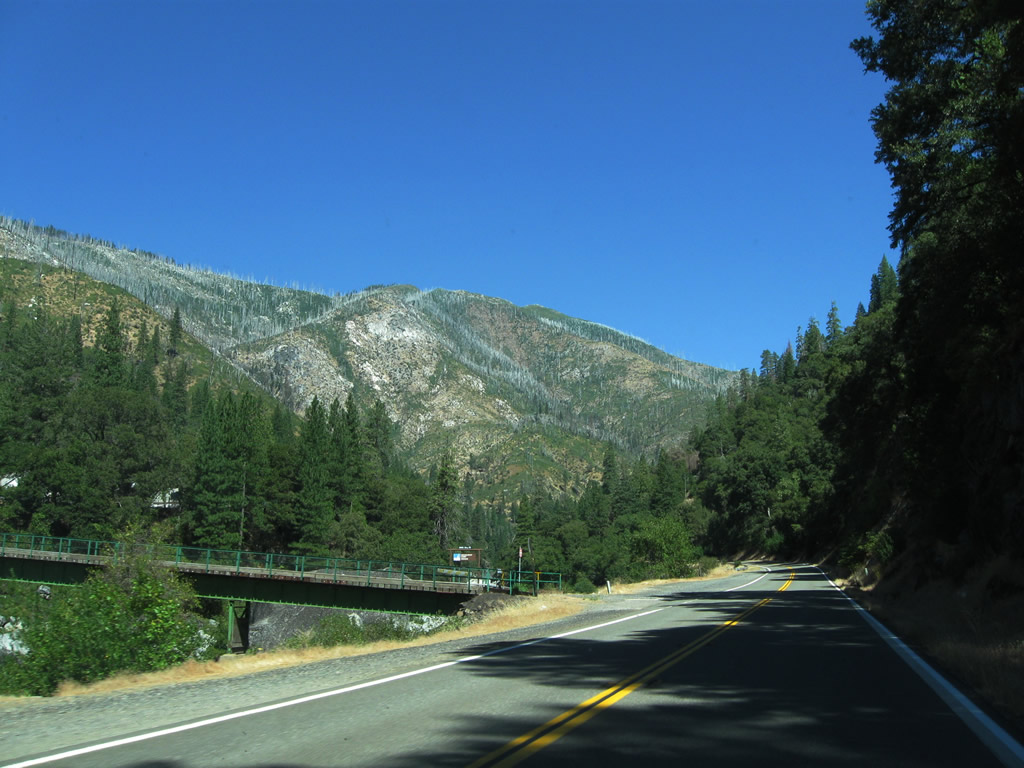
| California 70 (Feather River Highway) proceeds east between the Storrie Bridge and the Tobin Bridge. The highway stays close to the south/east bank of the North Fork of the Feather River. A hillside in the distance was ravaged by wildfire. Photos taken 09/04/10. | ||||
 |
 |
 |
 |
 |
| The Tobin Bridge carries California 70 over the North Fork of the Feather River back to the north bank of the river. This bridge, which is unique because of its proximity to a very similar railroad bridge, was built in 1936. The nearly identical railroad bridge was built in 1910. Photos taken 09/04/10. | ||||
 |
 |
 |
 |
 |
 |
 |
 |
 |
 |
 |
 |
 |
 |
 |
| California 70 (Feather River Highway) proceeds northeast after leaving the vicinity of the Tobin Bridge. Photos taken 09/04/10. | ||||
 |
 |
 |
 |
 |
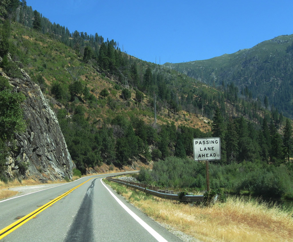
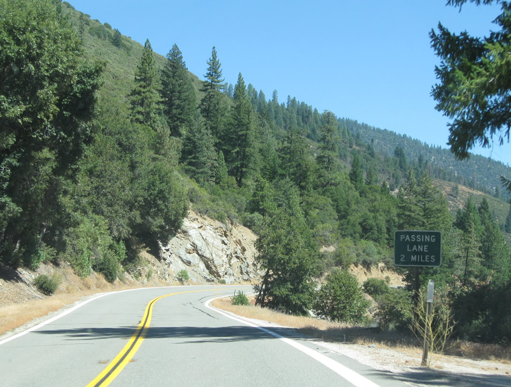
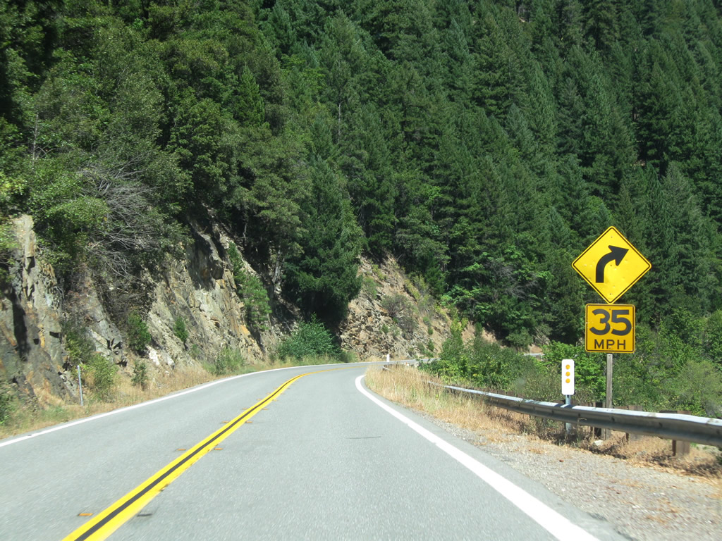
| This series of pictures follows California 70 (Feather River Highway) east toward Rodgers Flat. A second lane briefly allows for passing traffic. Photos taken 09/04/10. | ||||
 |
 |
 |
 |
 |
 |
 |
 |
 |
 |
| The highway passes by another hydroelectric facility and a reservoir behind the diversion dam. Photos taken 09/04/10. | ||||
 |
 |
 |
 |
 |
 |
 |
 |
 |
 |
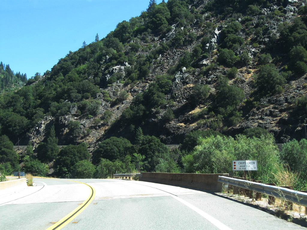
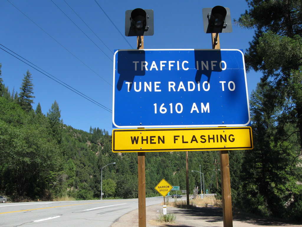
| California 70 passes over Chips Creek on a bridge built in 1959. As we gain elevation and surpass 2,000 feet in elevation, a sign for chain control and reduced speed limits is posted sideways from the road. This sign is activated during snowy conditions that warrant the use of tire chains. Photos taken 09/04/10. | ||||
 |
 |
 |
 |
 |
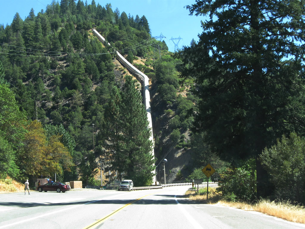
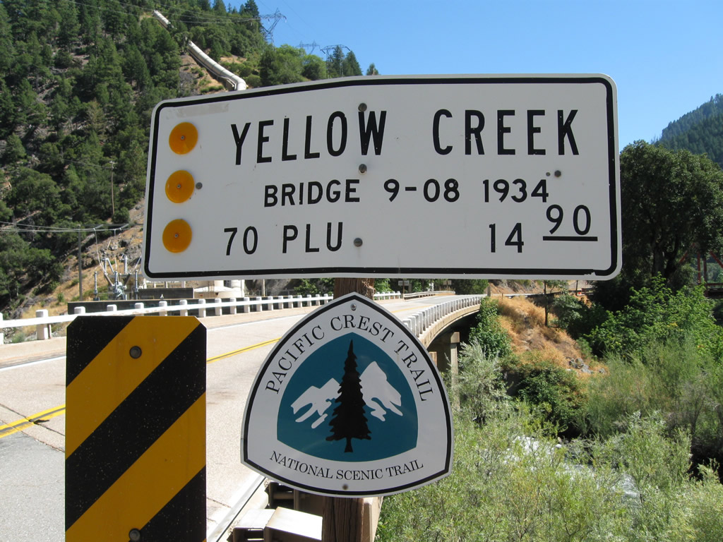
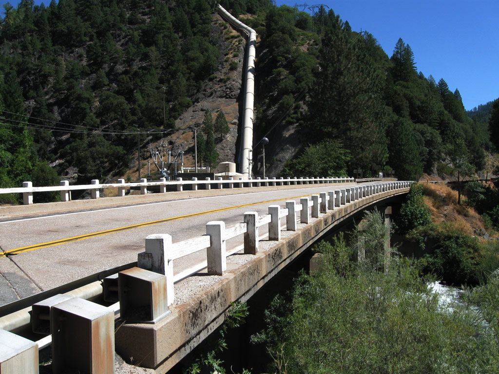
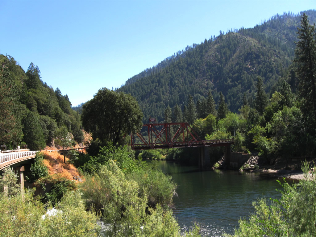
| Eastbound California 70 next approaches Belden Town and the Belden Rest Area. At Belden Town, the Pacific Crest Trail crosses California 70. Soon thereafter, California 70 crosses Yellow Creek on a 1934 bridge that was expanded in 1938. After crossing Yellow Creek, eastbound California 70 (Feather River Highway) will meet Belden Town Road, which travels south across the river (red through truss bridge) to the unincorporated community of Belden Town. Photos taken 09/04/10. | ||||
 |
 |
 |
 |
 |
 |
 |
 |
 |
 |
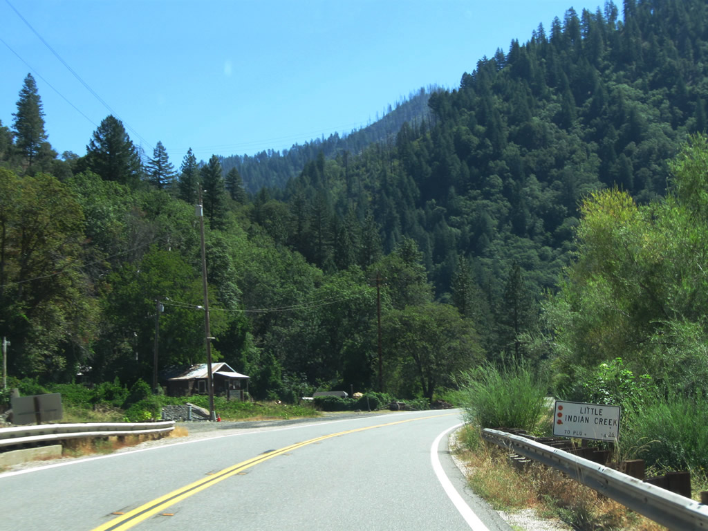
| California 70 continues along the north side of the North Fork of the Feather River as it leaves Belden Town. Certain turnouts along the road provide great views of the fast-moving river. Photos taken 09/04/10. | ||||
 |
 |
 |
 |
 |
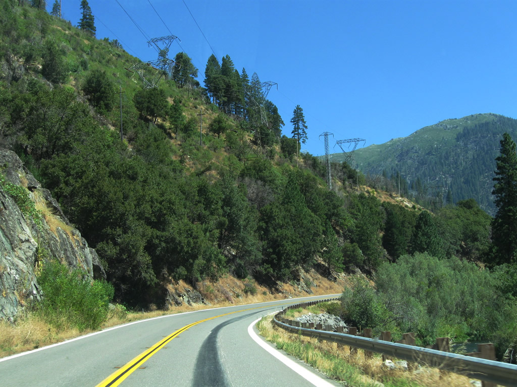
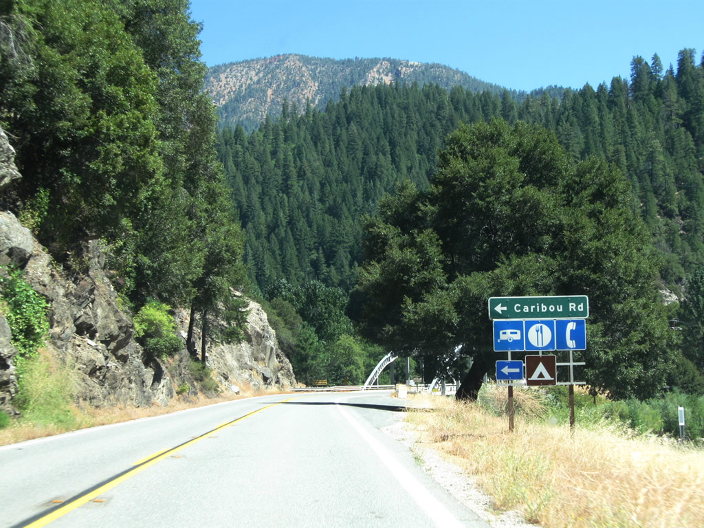
| Ahead, California 70 will cross over the North Fork of the Feather River and approach Caribou Road. Howell's Bridge, built in 1934, carries California 70 (Feather River Highway) over the river; ahead, California 70 will follow the East Branch of the North Fork of the Feather River as it proceeds east. Use Caribou Road north to follow the North Fork of the Feather River to the Belden Forebay and Butt Valley Reservoir, both of which include hydroelectric generating facilities. The larger power lines that have followed California 70 will turn northeast as well to connect with the various hydroelectric facilities. Photos taken 09/04/10. | ||||
 |
 |
 |
 |
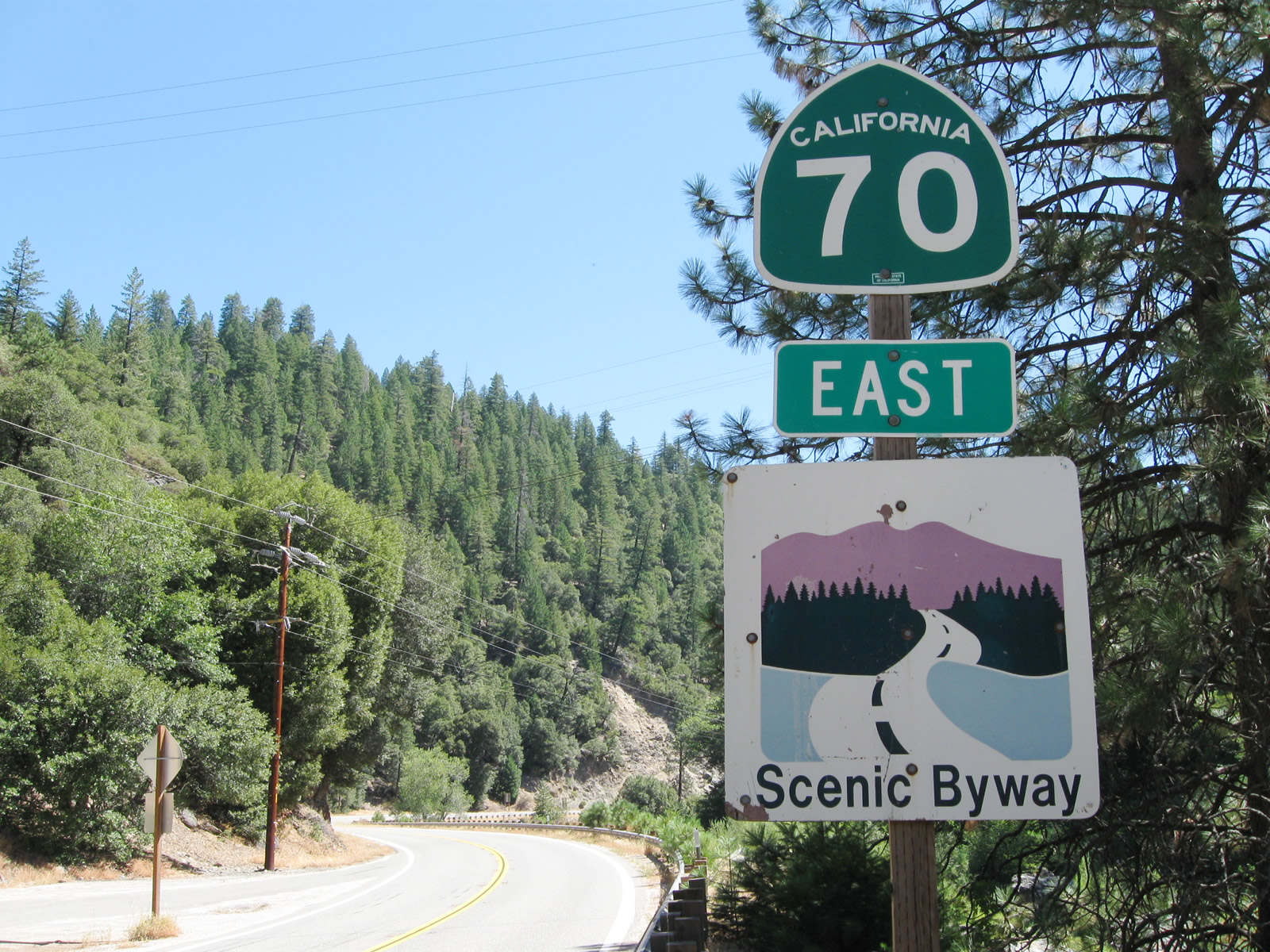 |
| Eastbound California 70 crosses the North Fork of the Feather River via Howell's Bridge. Turn left here for Caribou Road north to Plumas National Forest access, Belden Forebay, Caribou, and Butt Valley Reservoir. At the east end of the bridge at Caribou Road is a California 70 east reassurance shield, accompanied with a scenic byway marker. Photos taken 09/04/10. | ||||
 |
 |
 |
 |
 |
| California 70 continues east toward Rich Bar and Twain. Photos taken 09/04/10. | ||||
 |
 |
 |
 |
 |
| A mileage sign provides the distance to Quincy (24 miles), Portola (59 miles), and Reno (106 miles via U.S. 395 south). Photos taken 09/04/10. | ||||
 |
 |
 |
 |
 |
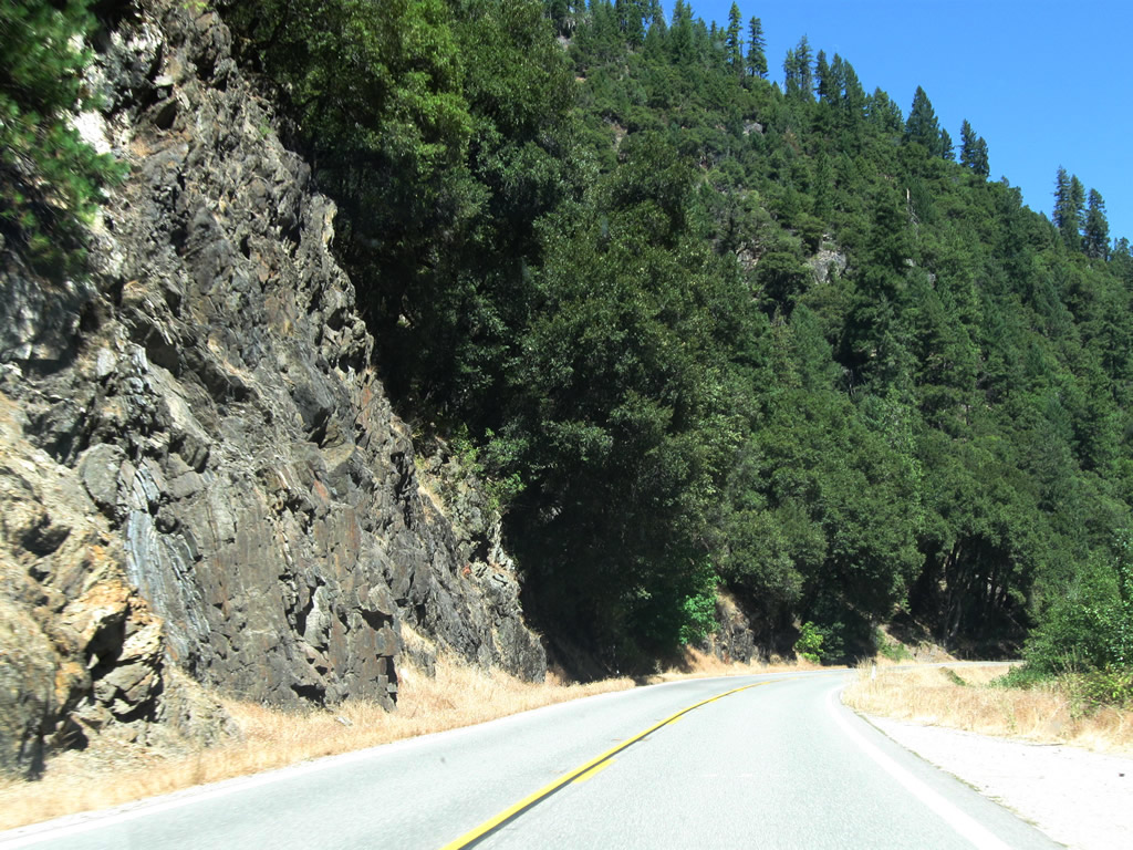
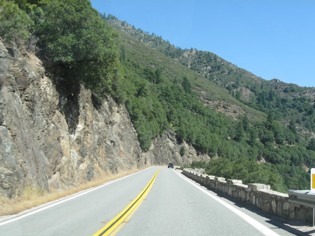
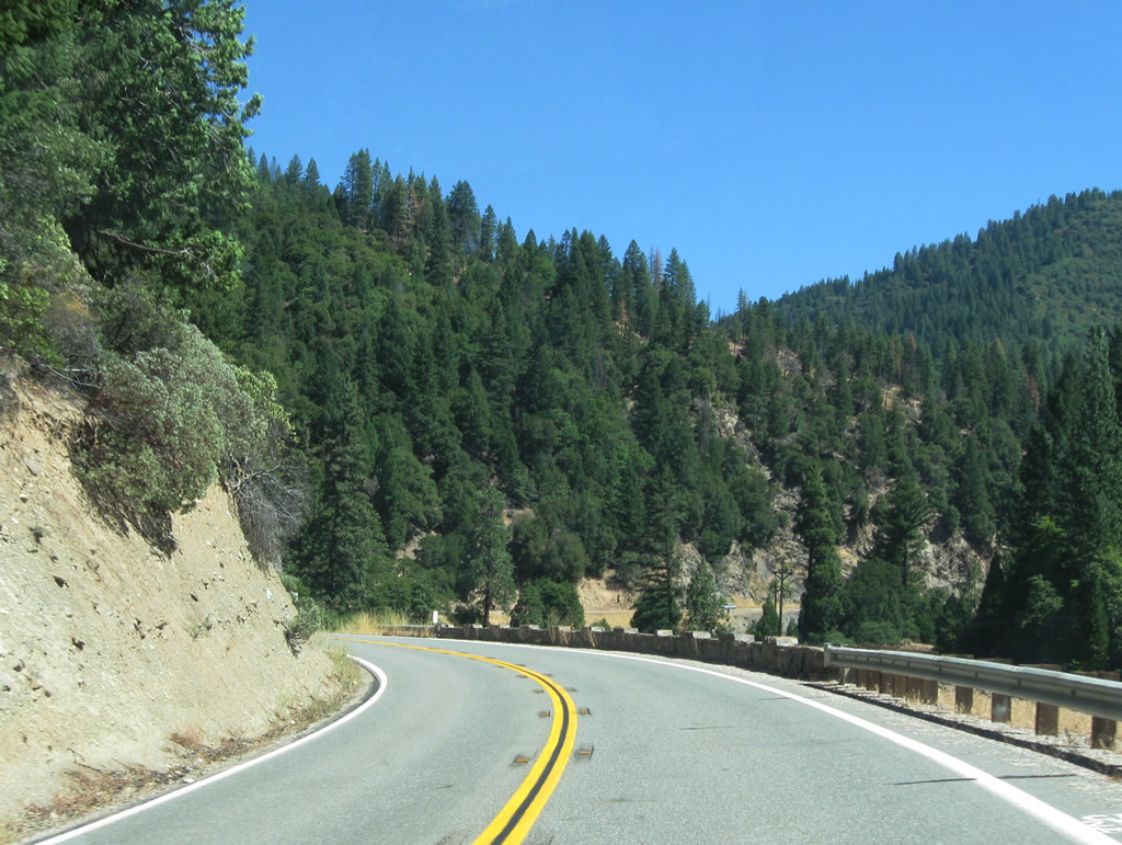
| A short tunnel takes the railroad through the edge of a mountain, while California 70 proceeds east through the canyon. More wildfire damage is visible in the hills as we continue toward Quincy. Photos taken 09/04/10. | ||||
 |
 |
 |
 |
 |
 |
 |
 |
 |
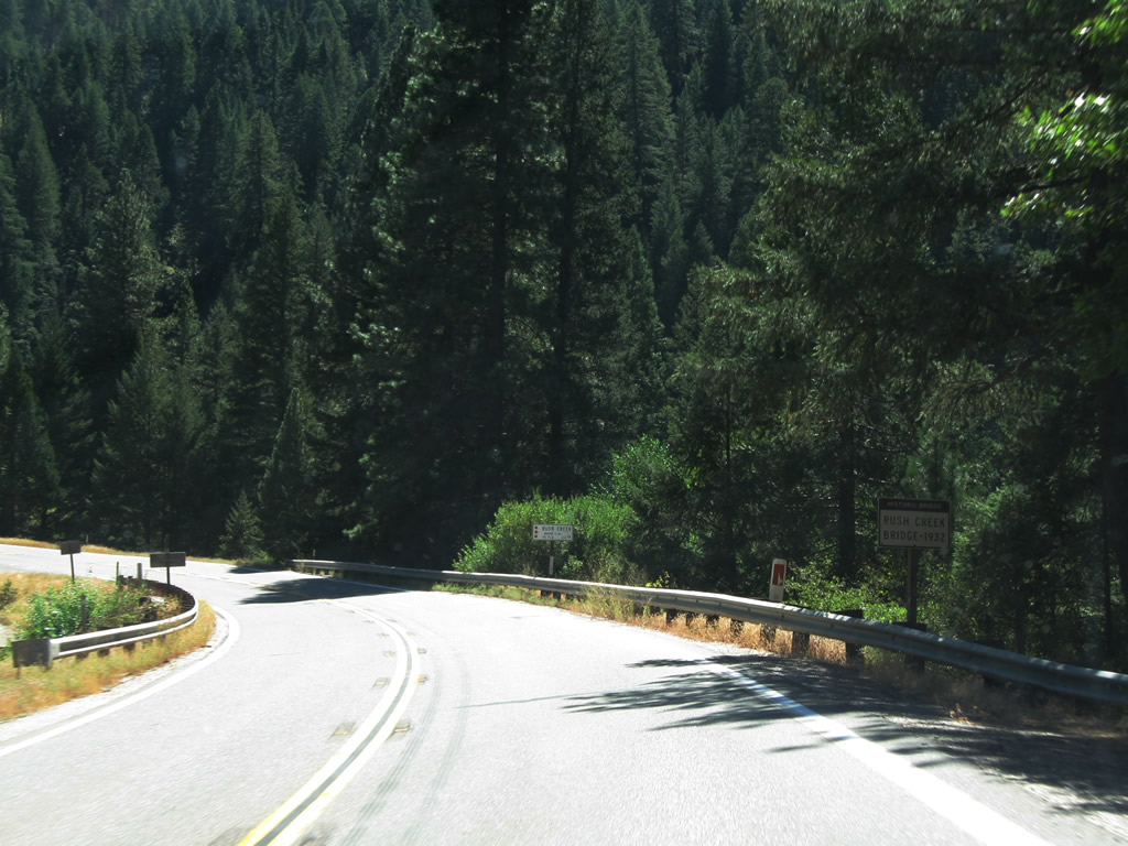 |
| Continuing east, California 70 approaches the Rush Creek bridge, which was built in 1932 and is a concrete continuous slab. At the east end of the bridge is a left turn to Rush Creek Road, which travels north to provide more access to the national forest (not a through, paved road). Photos taken 09/04/10. | ||||
 |
 |
 |
 |
 |
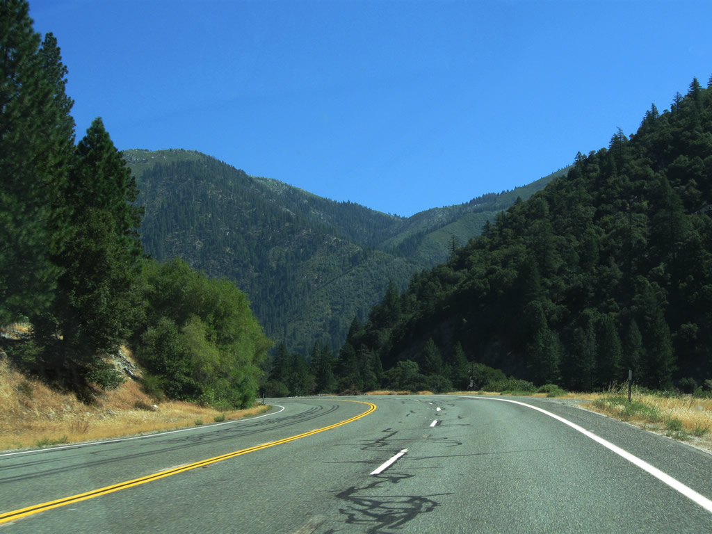
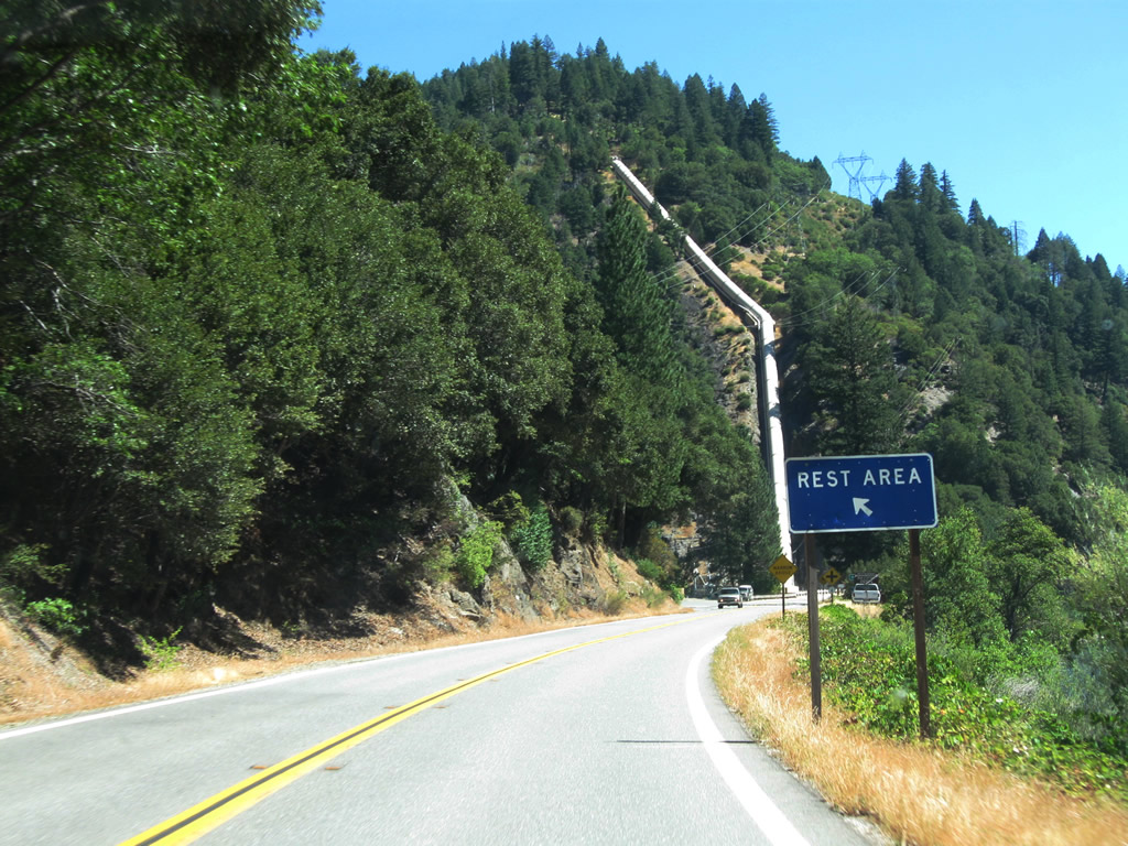
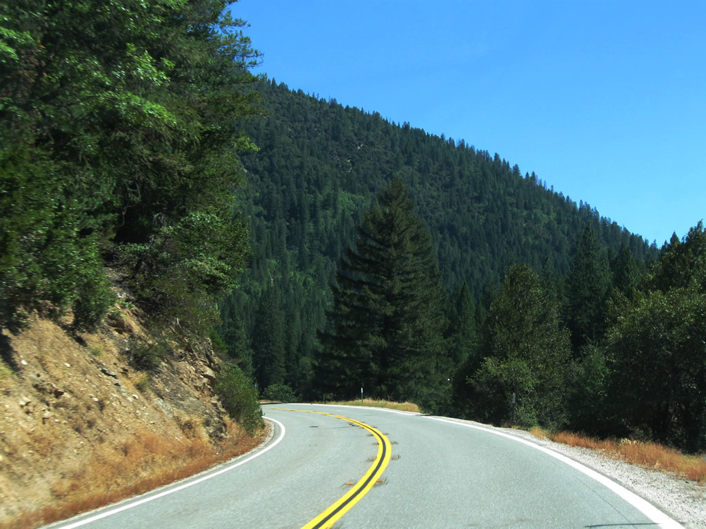
| California 70 parallels the East Branch of the North Fork of the Feather River as it travels east toward Quincy. The railroad continues to follow alongside the state highway, staying on the south bank of the river while the highway stays on the north bank. Along this stretch is an intersection with Twain Store Road. Photos taken 09/04/10. | ||||
 |
 |
 |
 |
 |
 |
 |
 |
 |
 |
 |
 |
 |
 |
 |
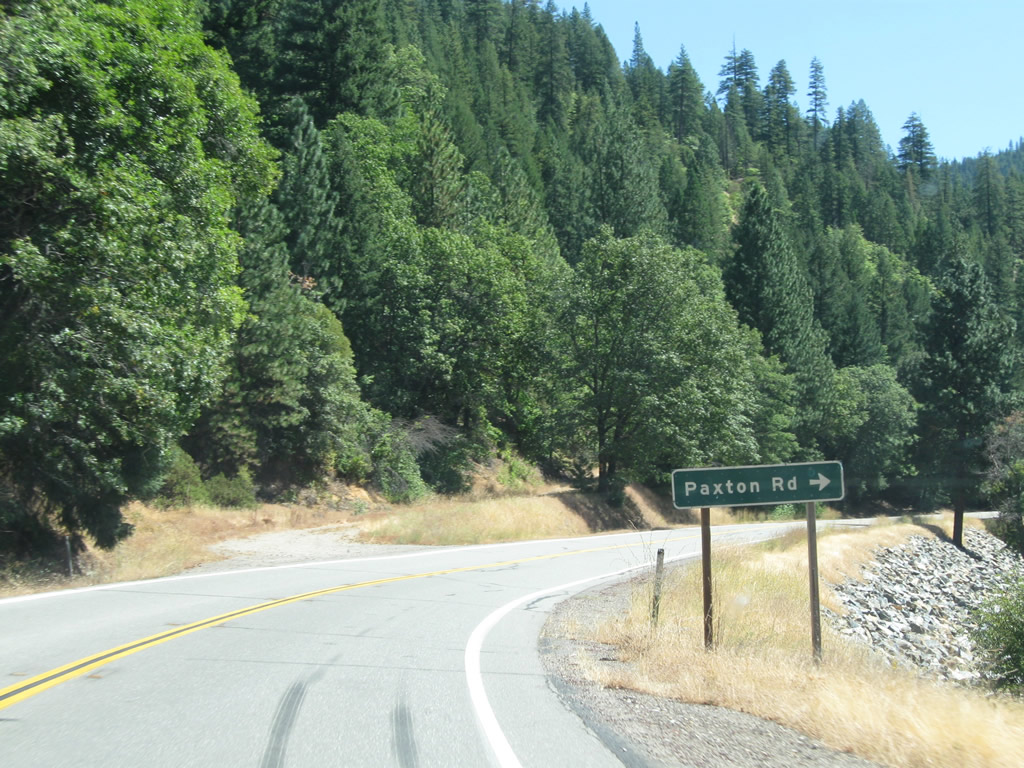
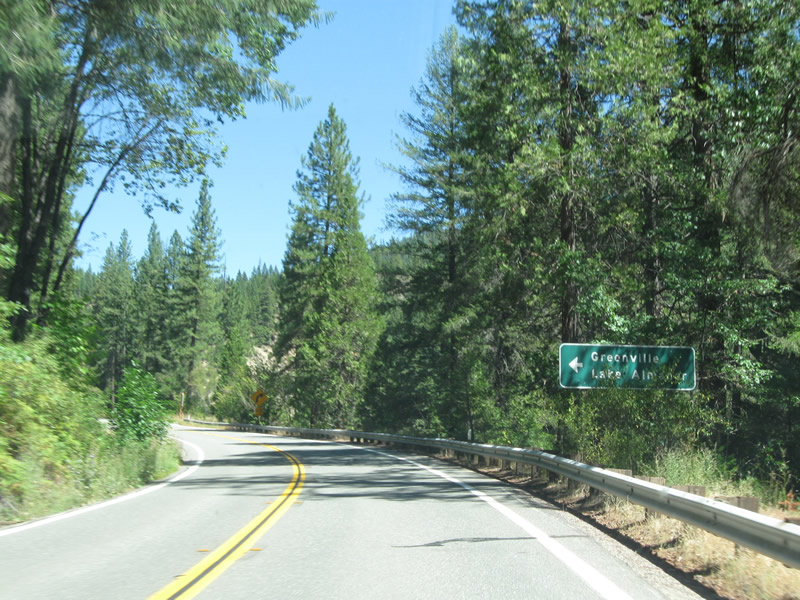
| Eastbound California 70 approaches Paxton Road, followed by its junction with California 89 north. A major north-south state route serving the northern Sierra Nevada, California 89 travels north to Greenville, Lake Almanor, Chester, Lassen Volcanic National Park, and Mt. Shasta City, where it meets Interstate 5 (its northern terminus). Ahead, California 70 east and California 89 south will jointly travel the final distance to Quincy, the seat of Plumas County. Photos taken 09/04/10. | ||||
 |
 |
 |
 |
 |
Sources:
- "Blasting 100,000 Cubic Yards of Solid Rock Per Mile on Feather River Job." California Highways and Public Works, March 1935, pages 2, 15, 30.
- "Feather River Route Opens: Engineers Conquer Cliffs and Deep Gorges to Construct New Scenic State Road." California Highways and Public Works, August 1937, pages 1-7.

Page Updated April 14, 2012.
|
About Contact Glossary |
In The News Interstate Guide |
Social Media:
 |
|
© 2000-25 AARoads.com | All Rights Reserved | Privacy Policy / Terms of Use
|
||