| California 74 east |
|
Leaving Hemet, California 74 enters the San Bernardino National Forest, which was formed as a forest reserve in 1891 and converted to a national forest in 1907. Photo taken 06/07/08. |
|
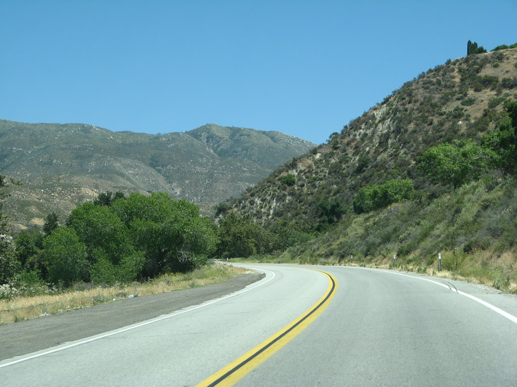
California 74 is an officially recognized scenic state route as it passes through the beautiful San Bernardino National Forest. Photo taken 06/07/08. |
|
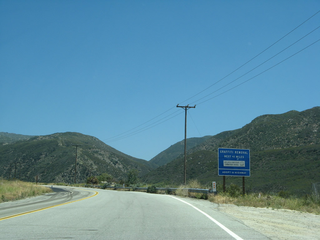
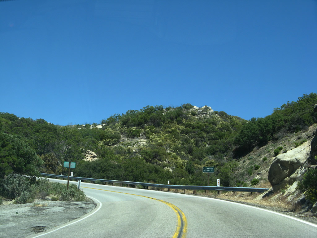
Stop at Cranston Station for information about San Bernardino National Forest, including sight seeing, camping, and hiking opportunities. Photo taken 06/07/08. |
|
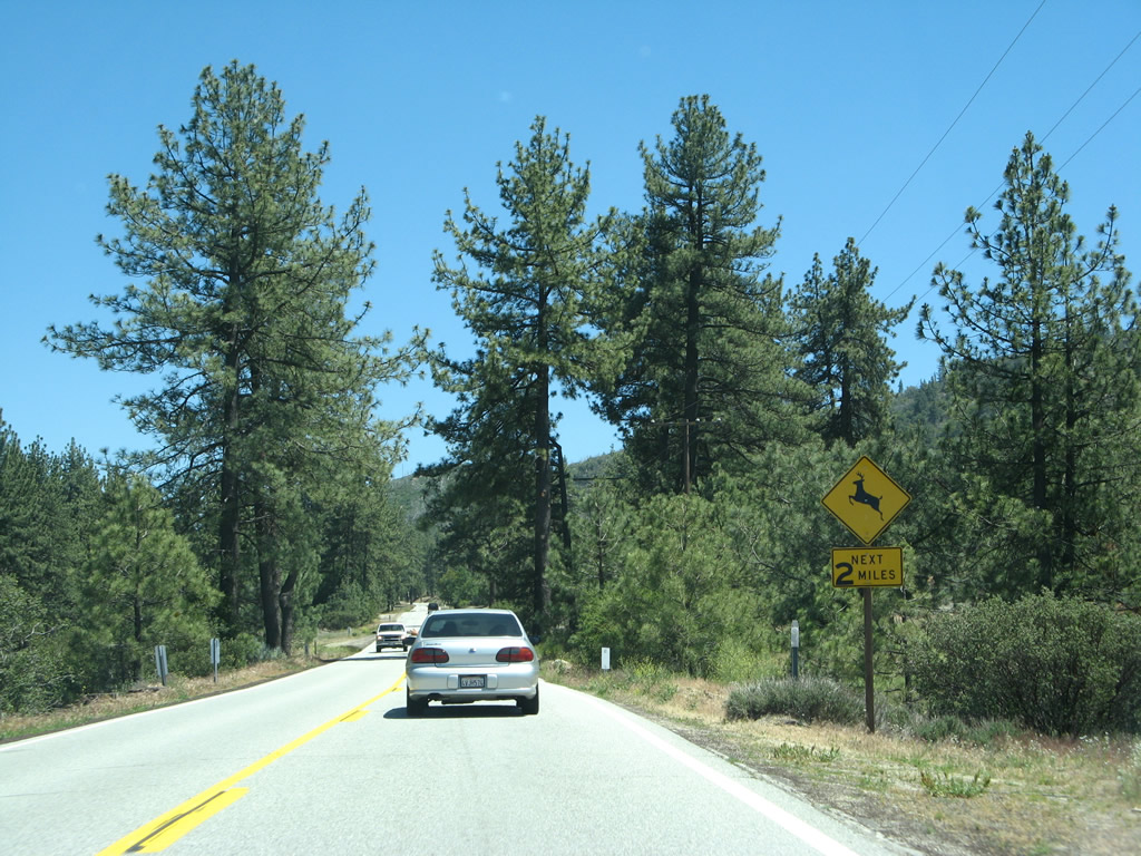
As is customary at national forest entrances, Smokey the Bear advises motorists along California 74 east what the fire danger is in the national forest today. Photo taken 06/07/08. |
|
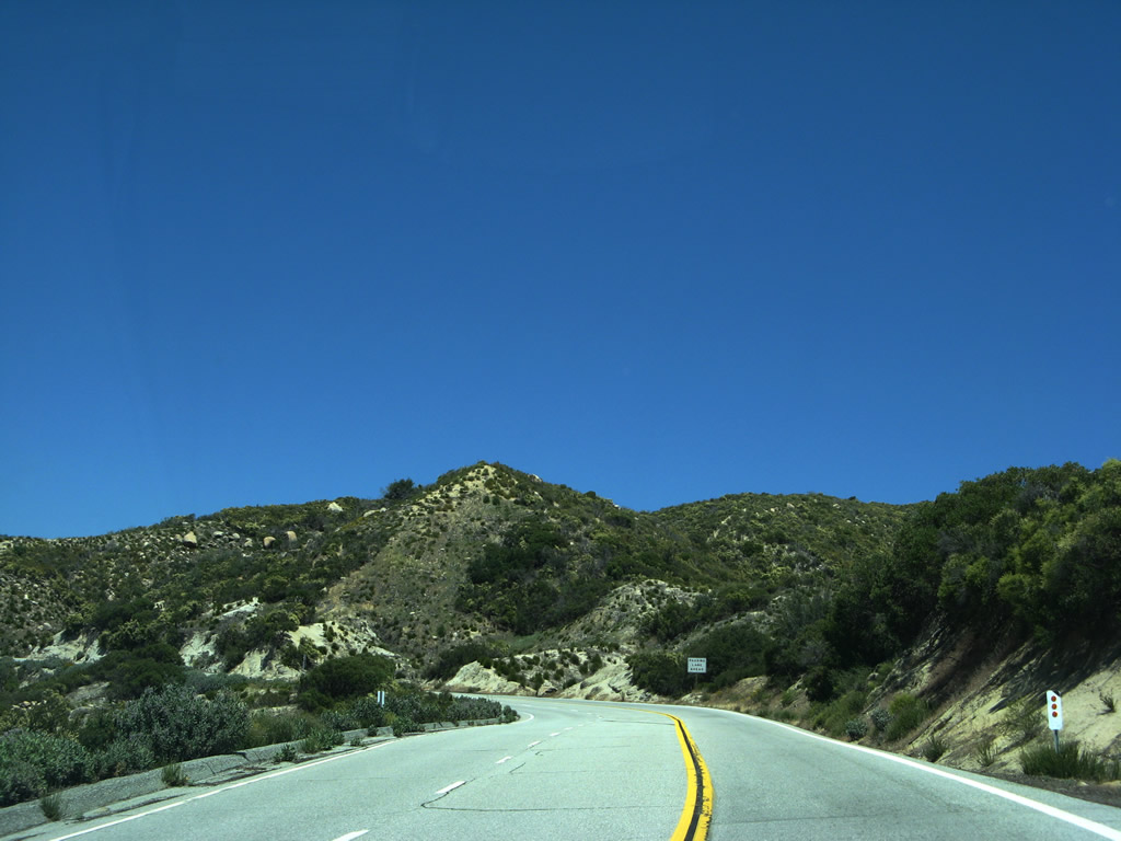
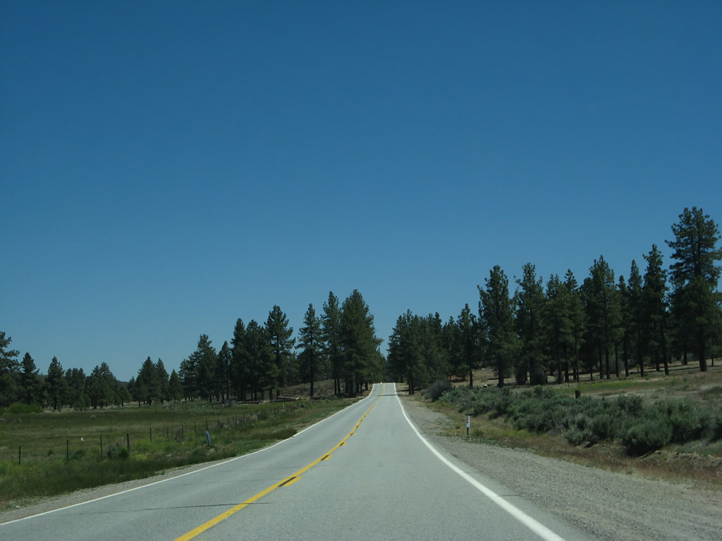
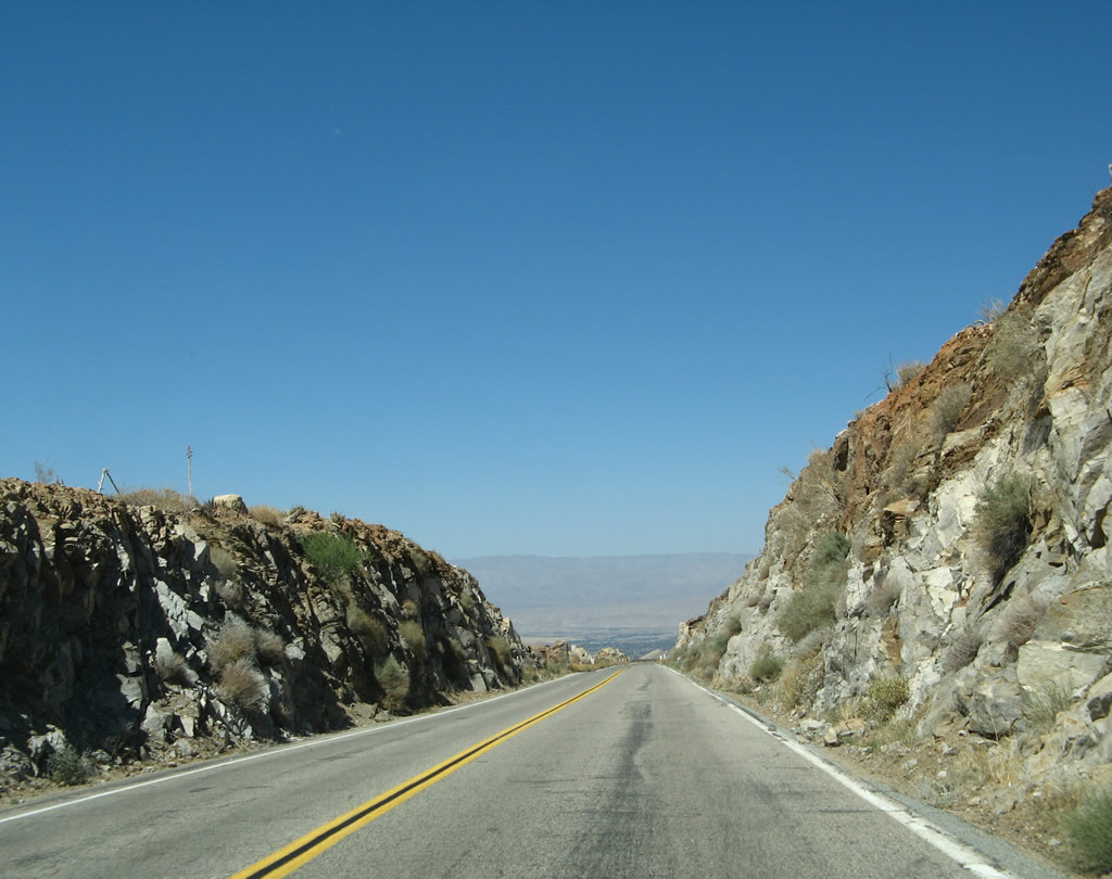
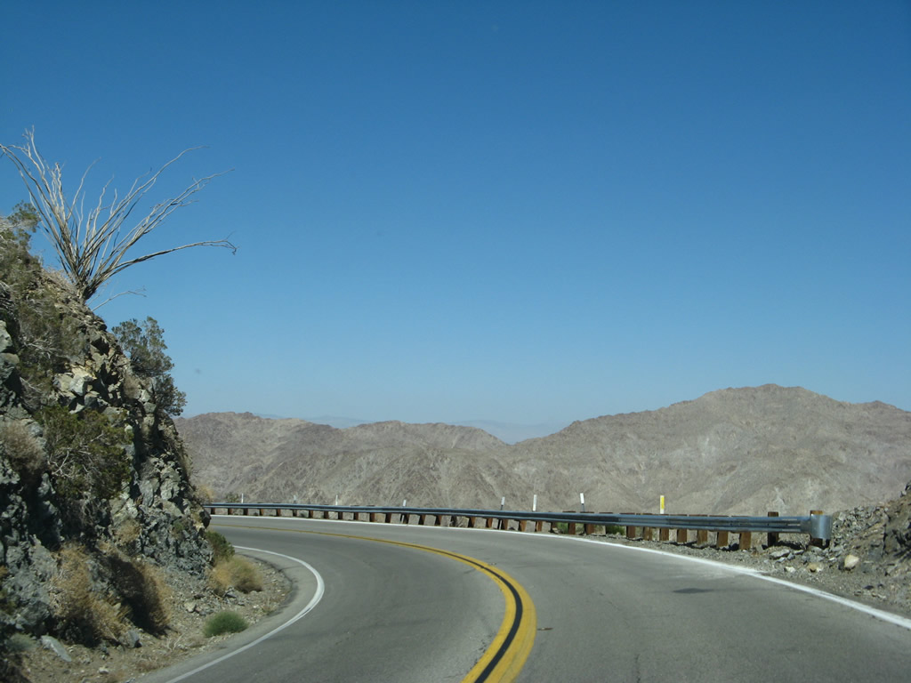
With the trappings of civilization behind us, traffic flow loosens to where its possible to see no one on sections of California 74 as goes through San Bernardino National Forest. Photo taken 06/07/08. |
|
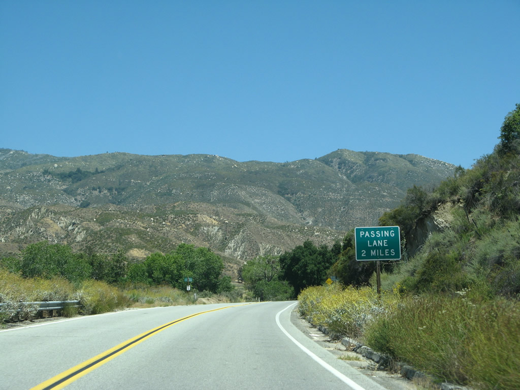
However, passing lanes are necessary to pass the occasional slow vehicle along California 74. Photo taken 06/07/08. |
|
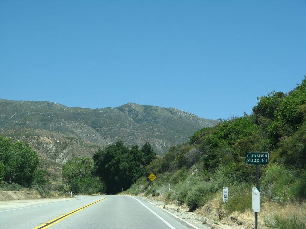
California 74 reaches 2,000 feet. Photo taken 06/07/08. |
|
Eastbound California 74 crosses the San Jacinto River on this 1929 concrete, tee-beam bridge at postmile 49.16. Photo taken 06/07/08. |
|
The San Jacinto Mountains come into view as California 74 follows the San Jacinto River into the range. Photo taken 06/07/08. |
|
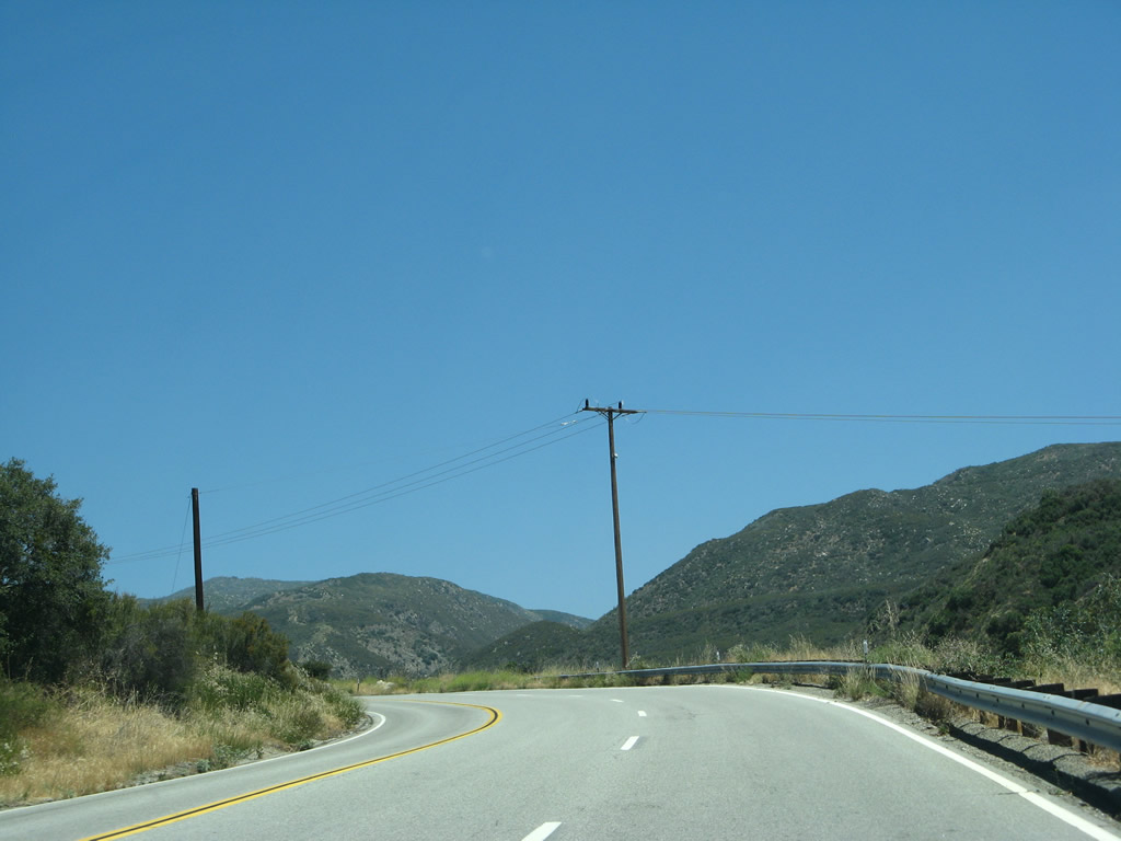
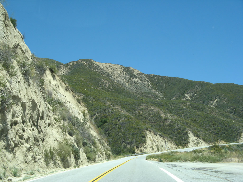
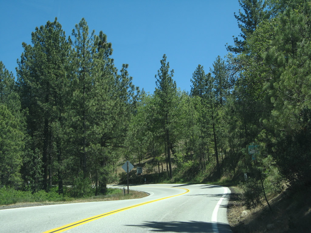
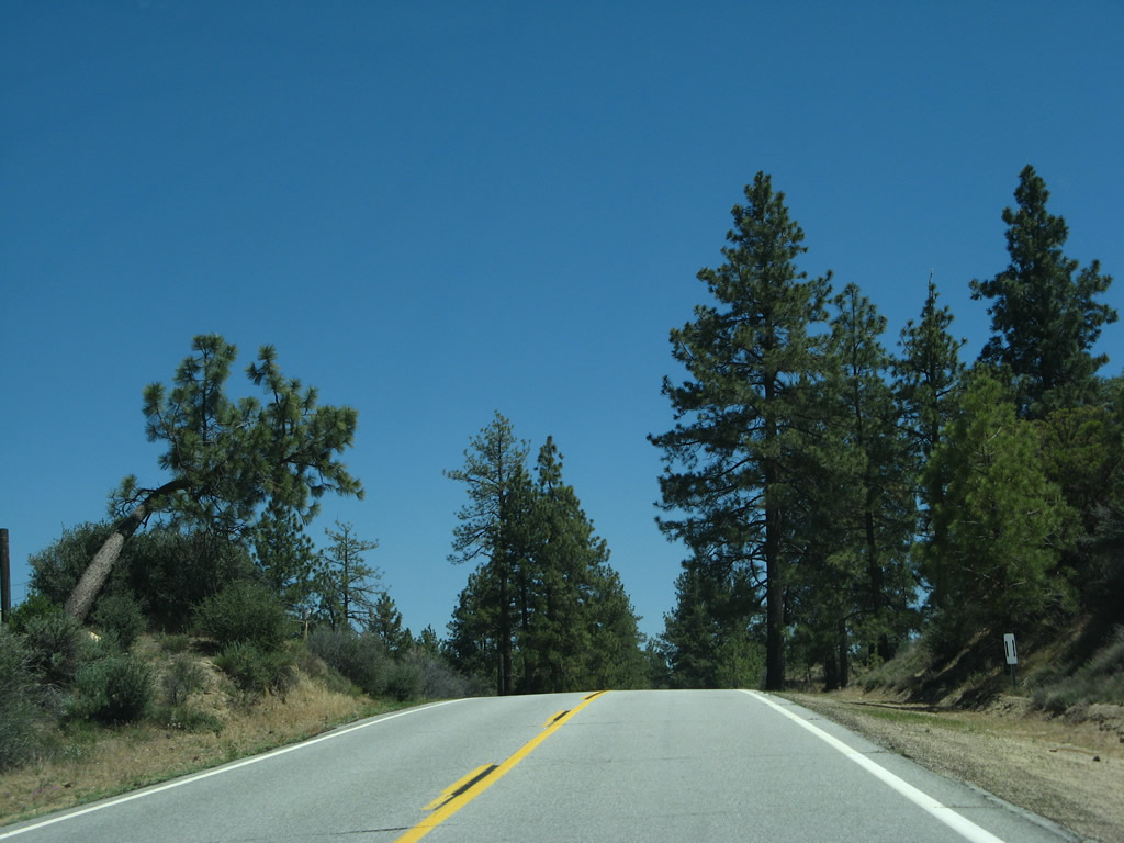
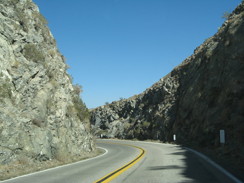
Watch for curves as California 74 proceeds generally uphill. Photo taken 06/07/08. |
|
Eastbound California 74 crosses the North Fork of the San Jacinto River on this 1929 concrete, tee-beam bridge at postmile 50.29. Photo taken 06/07/08. |
|
|
|
|
|
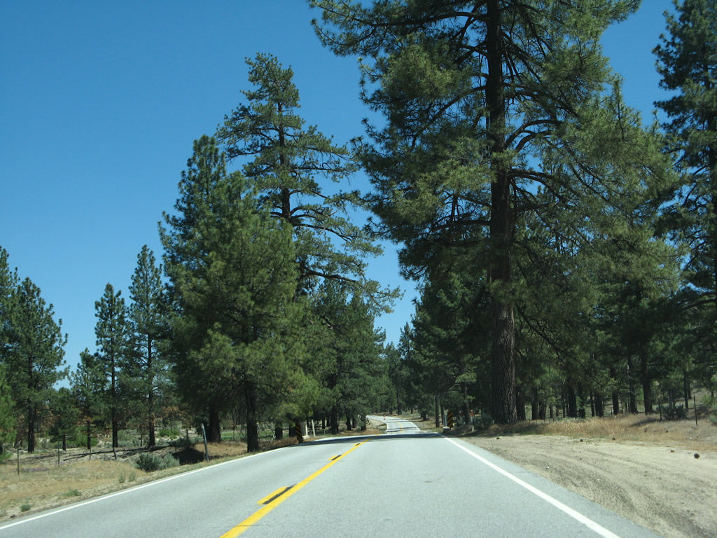
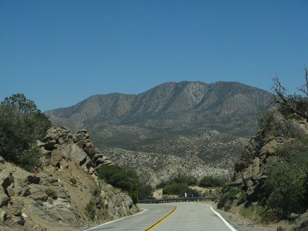
| California 74 travels uphill and away from the San Jacinto River. A passing lane helps slower vehicle ascend the grade without impacting other drivers. Canyons and viewpoints abound along this segment of scenic state route in the San Bernardino National Forest. Photos taken 06/07/08. |
|
|
|
|
|
| The passing lane ends, and California 74 just climbs. Watch for slowed/stopped vehicles. Several turnouts are located along the way, offering a place for slower traffic to exit the highway. Photos taken 06/07/08. |
|
|
|
|
|
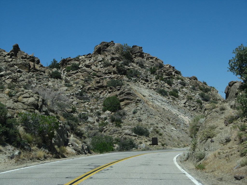
| California 74 continues uphill, getting well above the river area and ascending into the mountains. A long switchback briefly carries California 74 southeast, then west, and then southeast to enable an acceptable highway grade. Photos taken 06/07/08. |
|
|
|
|
|
| Another passing lane helps carry California 74 (Pines to Palms Highway) uphill. California 74 will retain this moniker as it passes through the San Jacinto Mountains and descends into Palm Desert. Photos taken 06/07/08. |
|
|
|
|
|
| Reaching 4,000 feet, California 74 will start to see more mountainous curves and eventually some trees on the distant ridges. Twists and turns yield different views of the surrounding mountains and valleys, including dominant Mt. San Jacinto. Photos taken 06/07/08. |
|
|
|
|
|
|
|
|
|
|
| Eastbound California 74 approaches the turnoff to McCall Park Road soon after reaching the treeline. Soon thereafter, California 74 enters the unincorporated community of Mountain Center, which had a population of 63 as of the 2010 Census and an elevation of 4,518 feet. Photos taken 06/07/08. |
|
|
|
|
|
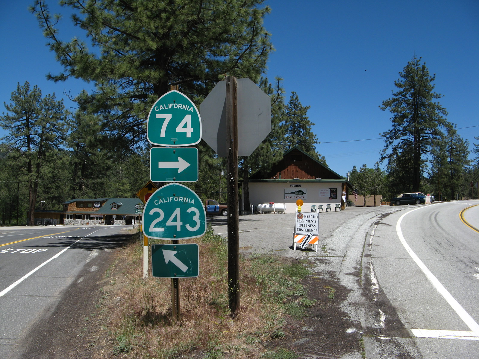
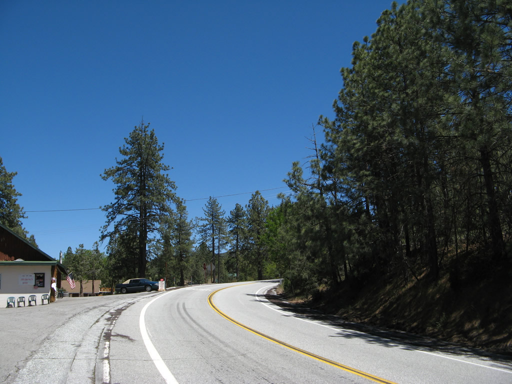
| While in Mountain Center, eastbound California 74 (Pines to Palms Highway) meets California 243 (Banning-Idyllwild Panoramic Highway), which travels north from Mountain Center to Idyllwild, then proceeds down the mountain to meet Interstate 10 in Banning. This intersection is a wye, with the first left turn being the preferred connection to California 243 north. California 74 swings wide around the wye intersection, allowing through traffic to continue through the area without stopping. Some roadside business is available at this intersection. The last picture in this series shows the short wye connector between California 74 east and California 243 north. Note the postmile for Route 74 despite this marker not being on the mainline roadway. Photos taken 06/07/08. |
|
|
|
|
|
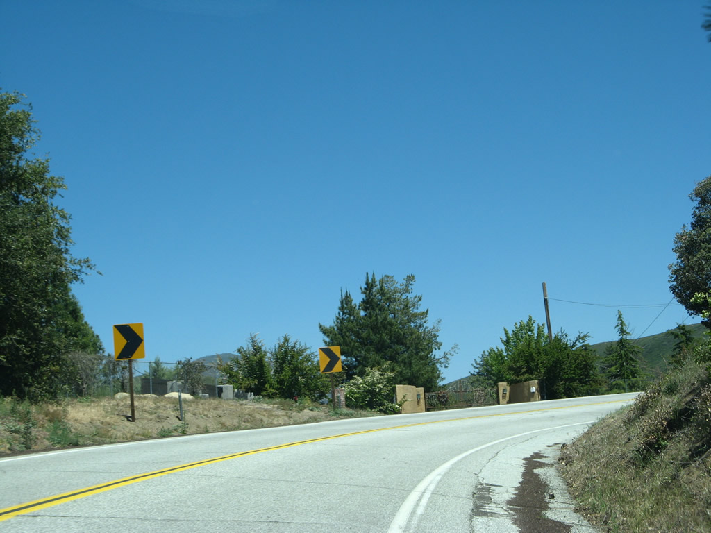
| Leaving the California 243 intersection, California 74 curves southeast. A scenic route marker and reassurance shield appear as the state route leaves Mountain Center through the mountainous area. The highway sees curves, deer, and Keen Camp Summit (4,917 feet). The summit sign has seen better days and probably has been replaced since 2008. Photos taken 06/07/08. |
|
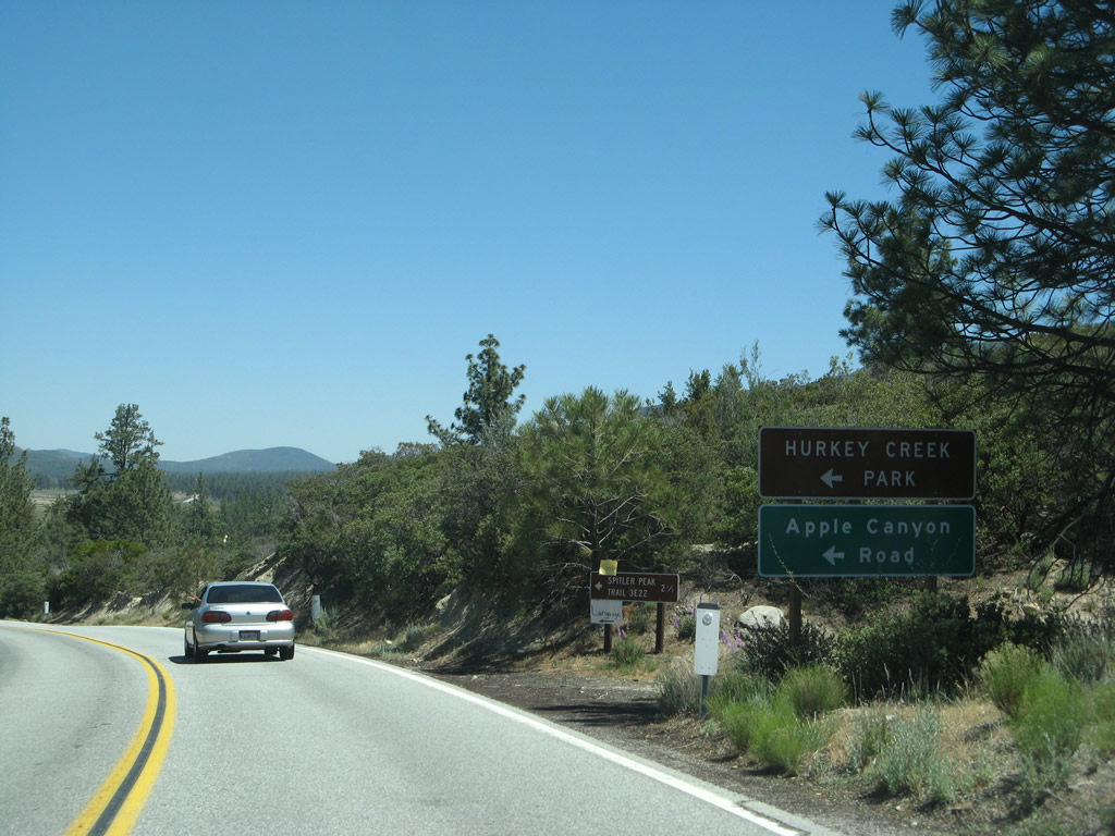
Eastbound California 74 approaches Apple Canyon Road north to Hurkey Creek Park, which offers camping, hiking, and picnicking in the San Jacinto Mountains. During winter, it can snow at this elevation. Photo taken 06/07/08. |
|
A California 74 east reassurance shield is posted after the Apple Canyon Road intersection. Photo taken 06/07/08. |
|
The next major intersection along eastbound California 74 (Pines to Palms Highway) connects to Hemet Lake Road, which provides access to Lake Hemet, which was completed in 1895 as part of a project by the Lake Hemet Water Company to impound and store water for uses downstream in the San Jacinto Valley west of here. Today the reservoir is operated by Lake Hemet Municipal Water District (LHMWD). Photo taken 06/07/08. |
|
California 74 (Pines to Palms Highway) continues east after the Lake Hemet Road turnoff. Photo taken 06/07/08. |
|
A unique bridge rail marks the passage of California 74 over Hurkey Creek. Photo taken 06/07/08. |
|
Lake Hemet features camping, hiking, fishing, and boating. Some motorist services may be available at this turnoff. Photo taken 06/07/08. |
|
A small roadside marker provides some of the history of Lake Hemet and its dam. Photo taken 06/07/08. |
|
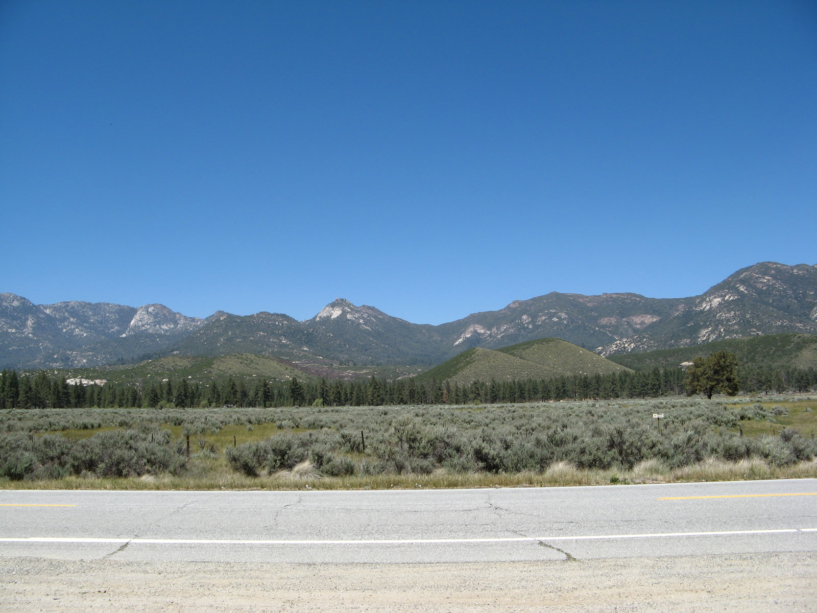
This view looks at the mountainous skyline from Lake Hemet without anything manmade visible aside from the highway and a right of way fence. Photo taken 06/07/08. |
|
California 74 continues east on relatively flat land (for the time being). Photo taken 06/07/08. |
|
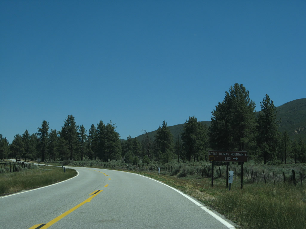
The next major intersection along California 74 east is with Forest Service Road 6S13, which travels west to Little Thomas Mountain. Photo taken 06/07/08. |
|
|
|
|
|
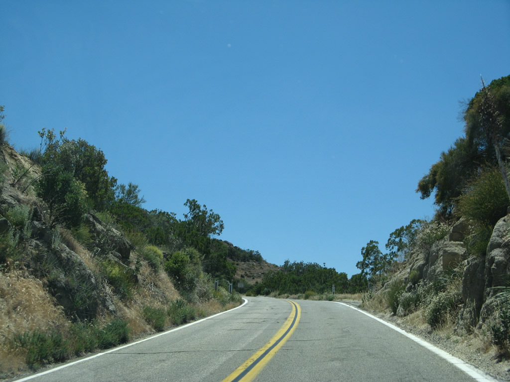
| This series of pictures follows California 74 (Pines to Palms Highway) as it travels southeast between Lake Hemet and the junction with California 371. Towering pine trees dominate the view as California 74 stays on a relatively flat expanse of land. Photos taken 06/07/08. |
|
|
|
|
|
| Many of the intersecting roads along this segment of California 74 provide local and ranch access but are not through roads, at least not until we reach California 371. Morris Ranch Road travels northeast to provide local ranch access and recreational access to Cedar Spring Trail. Photos taken 06/07/08. |
|
|
|
|
|
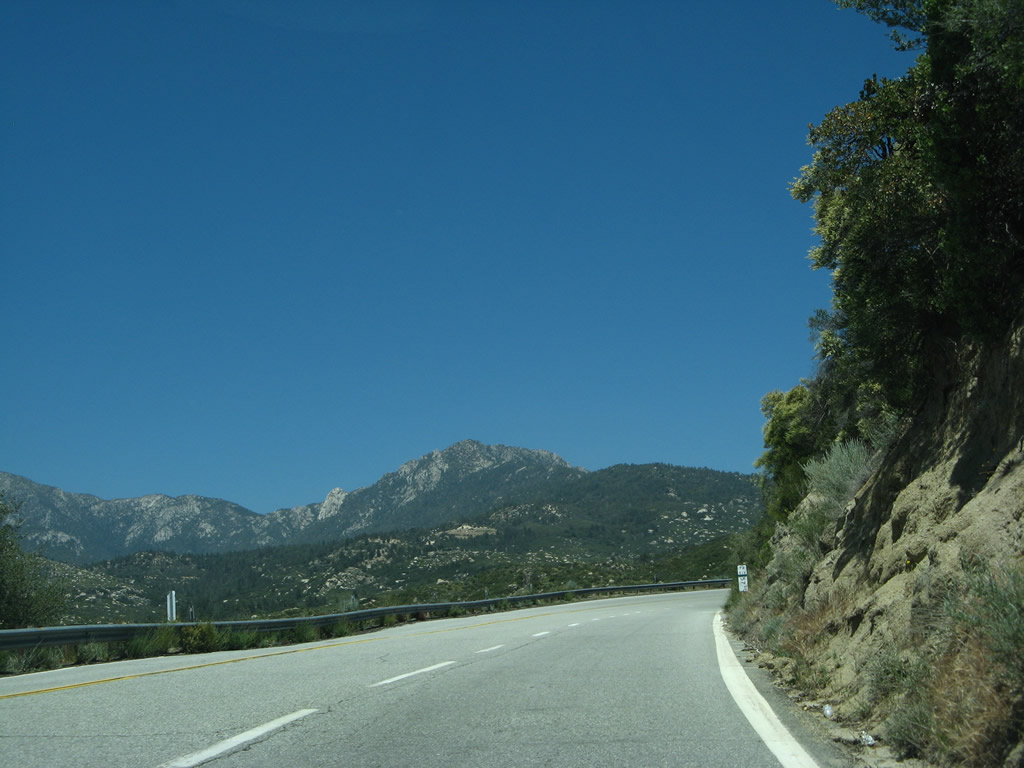
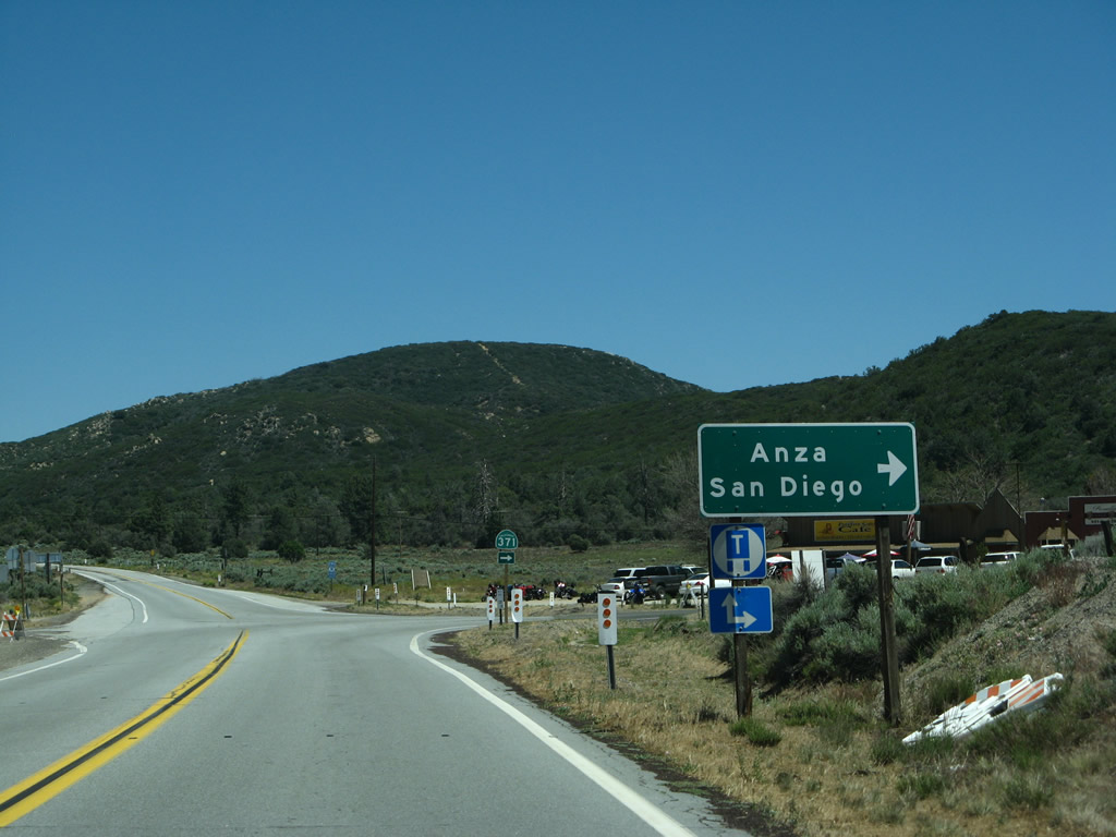
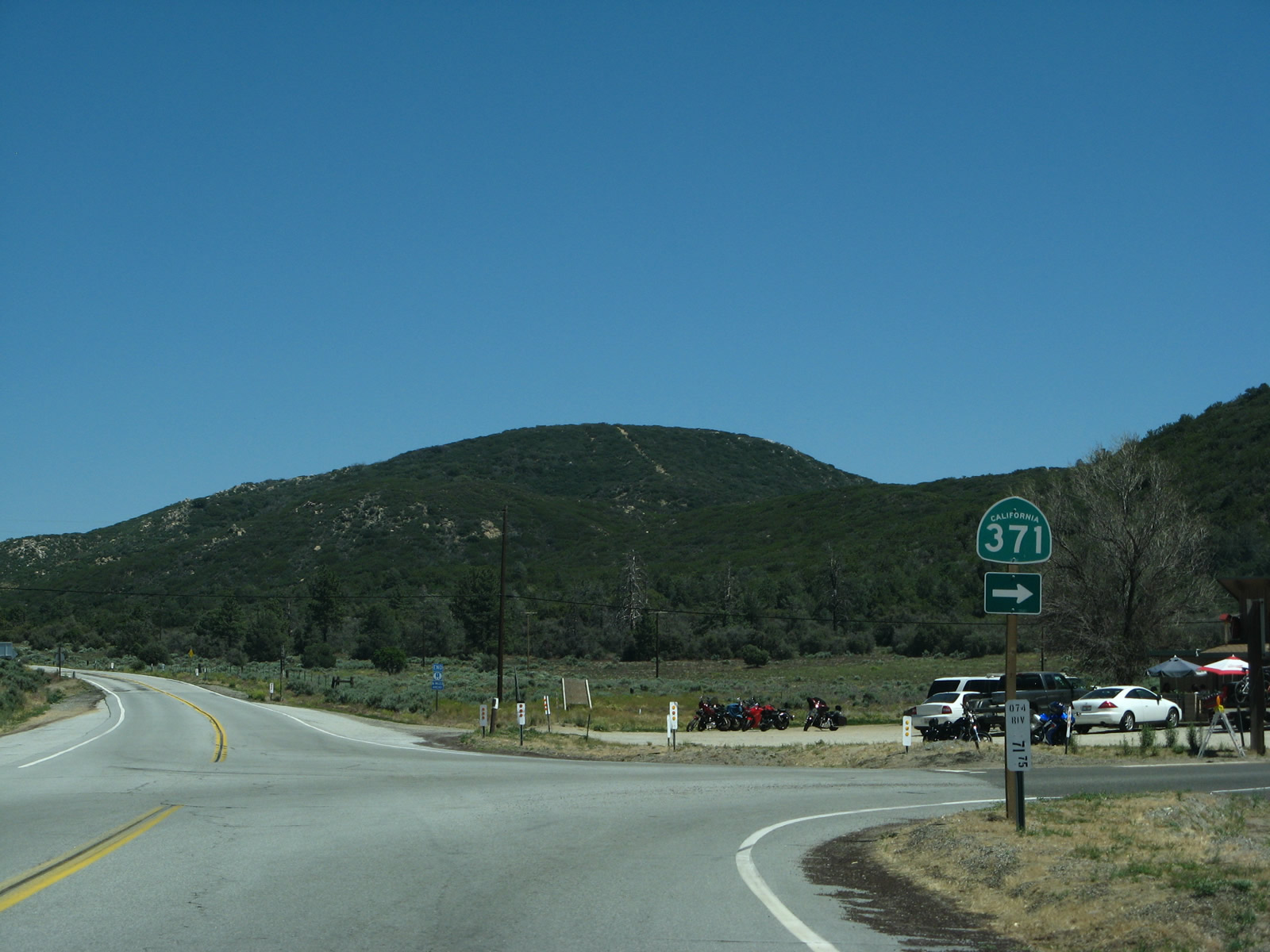
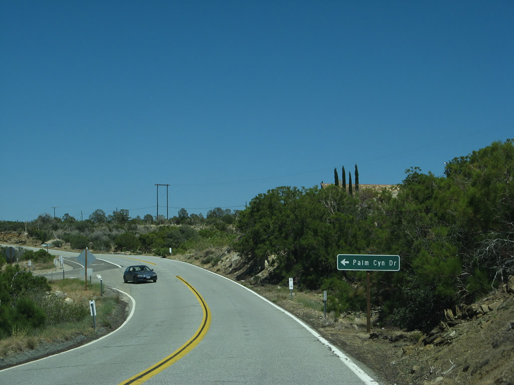
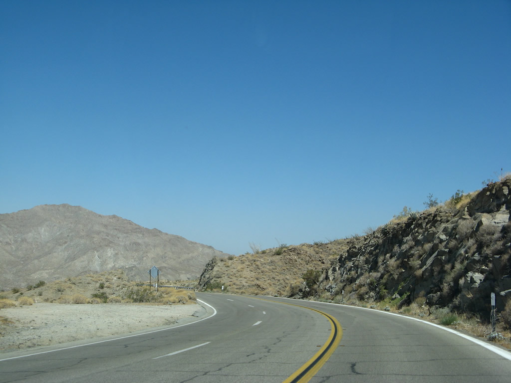
| The next major intersection along California 74 east is with California 371. This state highway (originally part of California 71) travels west to meet California 79 southeast of Temecula. California 371 is an east-west state route that connects California 79 at Aguanga with California 74 in the San Bernardino National Forest via the Cahuilla Indian Reservation, Lake Riverside, and Anza. It is part of an east-west corridor formed by parts of California 79, California 371, and California 74 between Temecula and the Palm Springs-Coachella Valley area. The most direct path from San Diego to Indio, for example, is achieved via Interstate 15 north, California 79 south, California 371 east, and California 74 east. Photos taken 06/07/08. |
|
Enjoy the relative flat area here. In about 16 miles, California 74 will begin its winding, curving descent from the San Jacinto Mountains east (more or less) into Palm Desert. Through trucks should head back via California 371 west. Photo taken 06/07/08. |
|
California 74 approaches the 2,650-mile long Pacific Crest Trail, which travels the spine of California from the Mexican border to the Oregon state line via the high points reached along the major ranges that define the state, including the Sierra Nevada and Cascades. The trail then continues into Oregon and Washington. In Southern California, the Pacific Crest Trail travels through the Laguna Mountains in San Diego County, then proceeds north into the San Jacinto Mountains. Photo taken 06/07/08. |
|
California 74 narrows a bit as it proceeds almost due east between California 371 and Rancho Road, where it will turn north for the final descent into Palm Desert. Photo taken 06/07/08. |
|
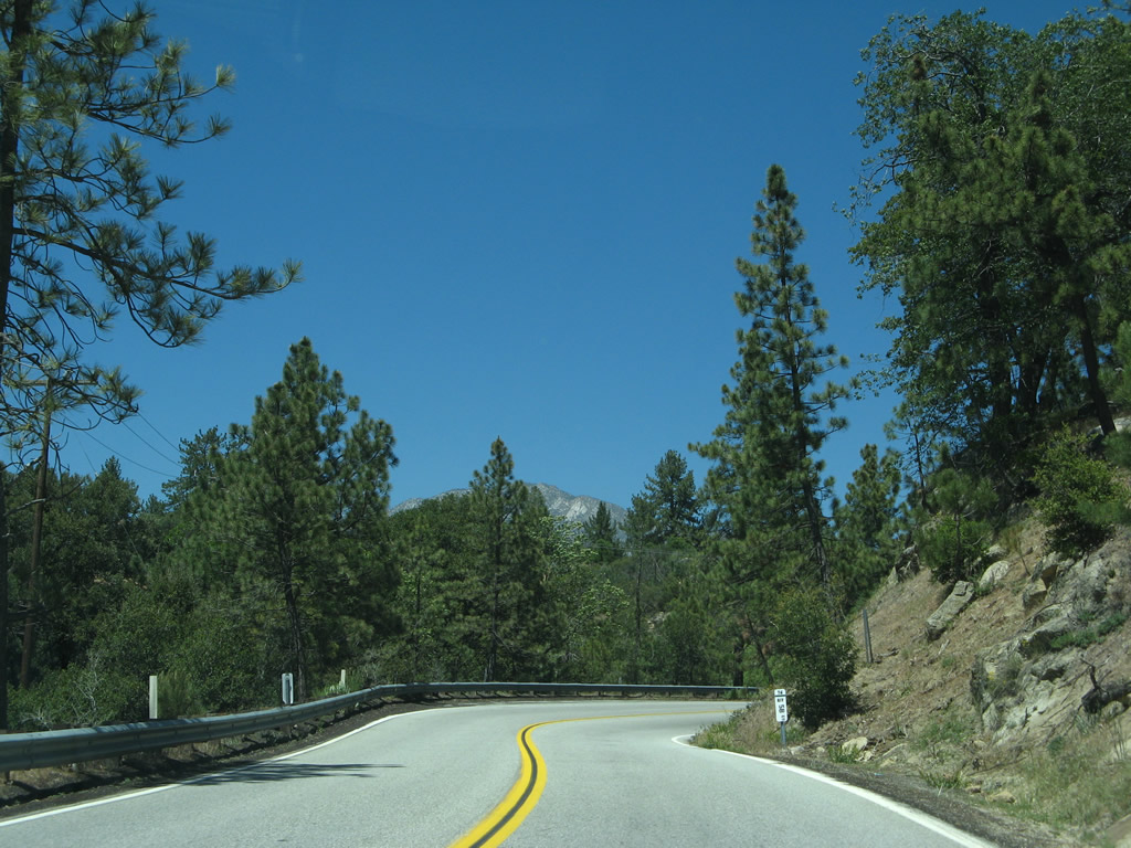
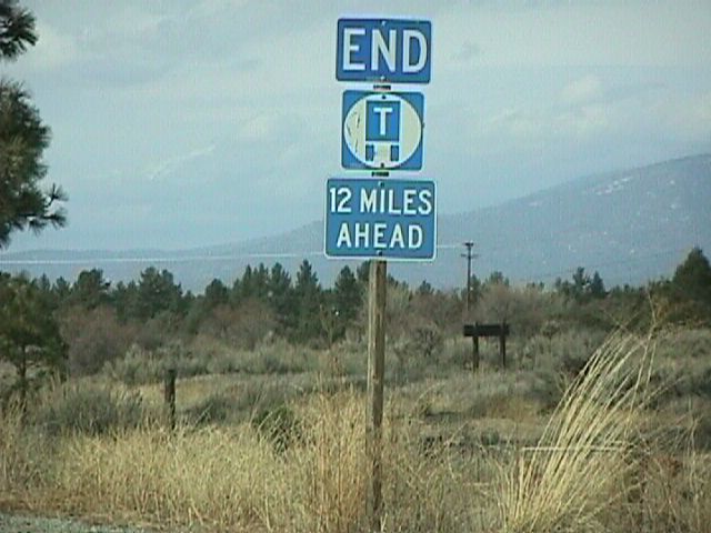
Another warning sign is posted on eastbound California 74 (Pines to Palms Highway) west of Pinyon Flat to again advise of the truck restriction and pending steep downhill grade into Palm Desert. The sign indicates that trucks are not permitted to use California 74 in another 12 miles. This picture was taken in the San Bernardino National Forest prior to the steep descent and sharp curves that lead into Palm Desert. Photo taken 09/00. |
|
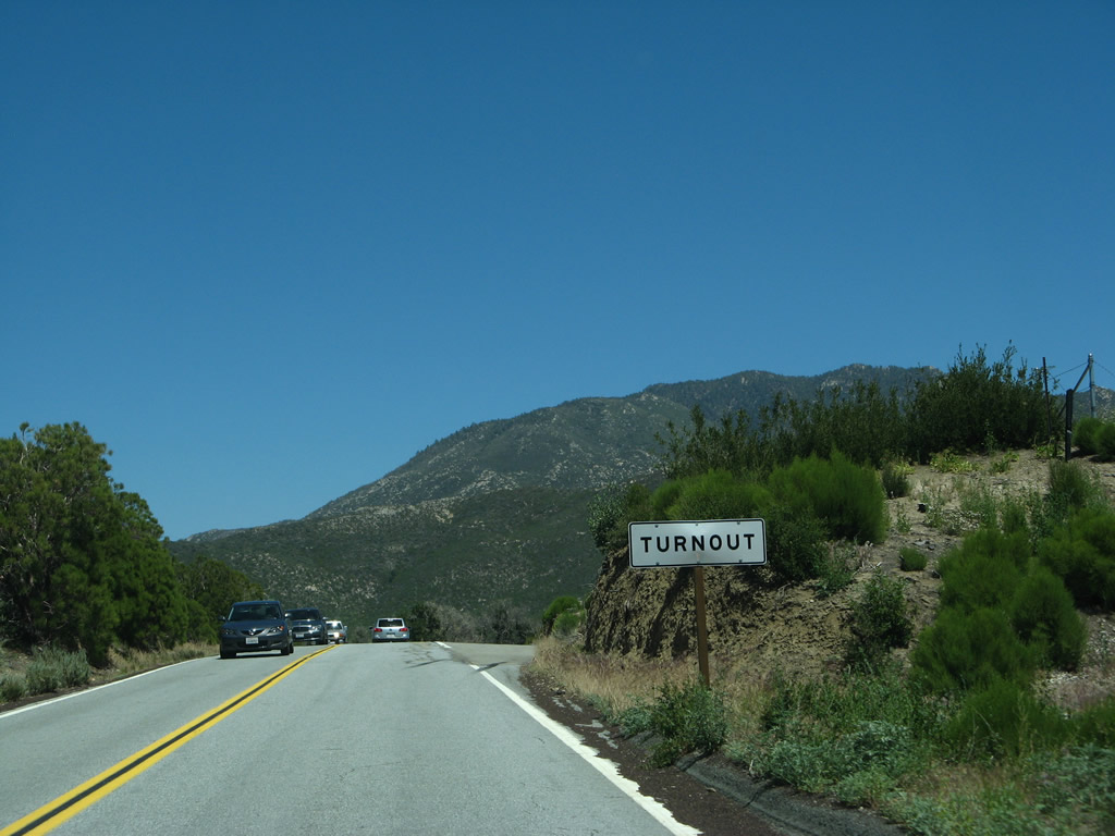
Turnouts line this stretch of California 74 to accommodate slower moving traffic so that they can move aside to allow faster traffic to pass. Photo taken 06/07/08. |
|
A California 74 east reassurance shield (and companion scenic route marker) is posted a bit further east as we approach Pinyon Flat. Photo taken 06/07/08. |
|
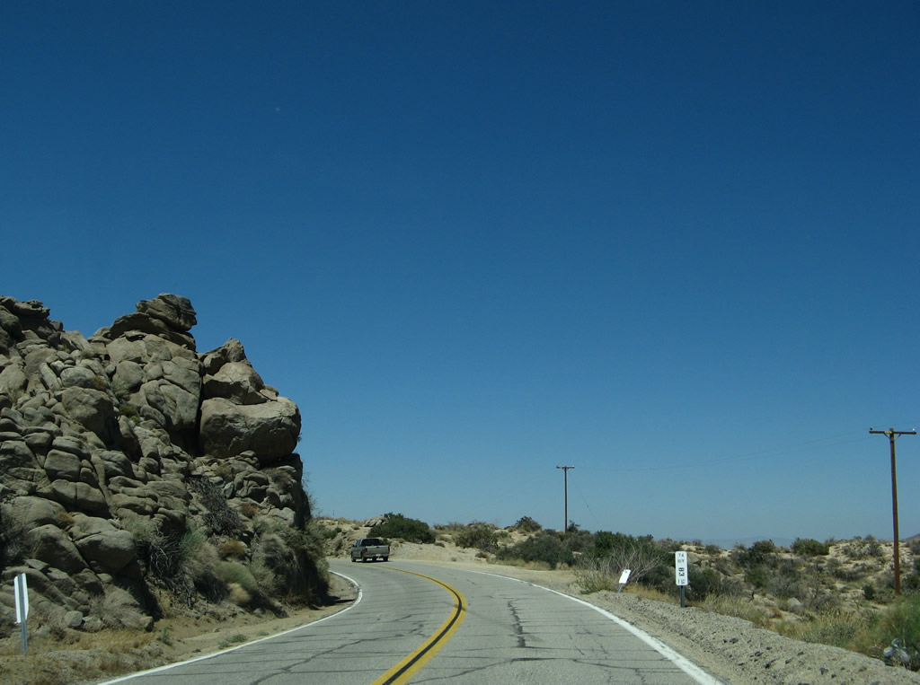
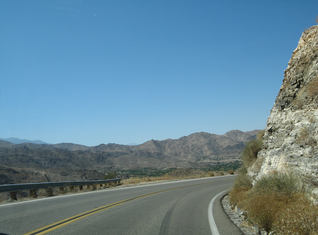
Despite the elevation, California 74 sees ample desert landscape as the highway proceeds east toward Pinyon Flat. Photo taken 06/07/08. |
|
Boulders line the mountains visible in the background of this shot on California 74. Photo taken 06/07/08. |
|
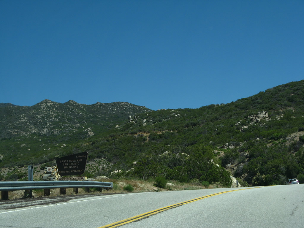
Eastbound California 74 enters Santa Rosa and San Jacinto Mountains National Monument, which is administered (for the most part) by the federal Bureau of Land Management (BLM) and includes about 272,000 acres of desert and mountainous terrain. The monument was established on October 24, 2000, by an act of Congress. Photo taken 06/07/08. |
|
Another California 74 east reassurance shield is posted shortly thereafter. Photo taken 06/07/08. |
|
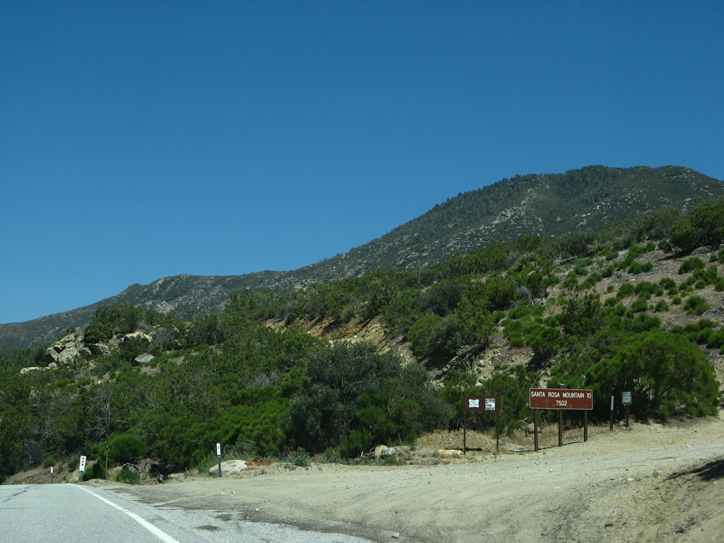
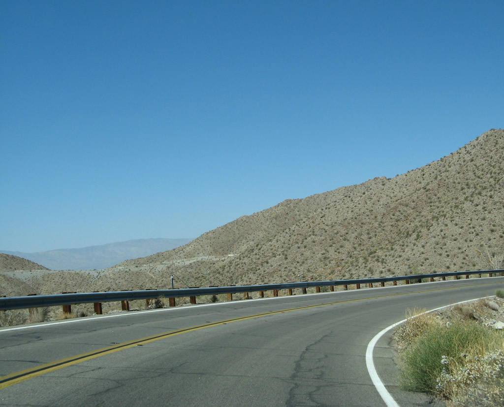
The next right turn from California 74 east connects to Service Road 7S02 (Santa Rosa Truck Trail), which travels to Santa Rosa Mountain. The Santa Rosa Mountains and San Jacinto Mountains are the northernmost of the Peninsular Ranges. Photo taken 06/07/08. |
|
Eastbound California 74 approaches Spring Crest Drive, the first of several right turns to connect to a small residential enclave on the south side of the state route. Photo taken 06/07/08. |
|
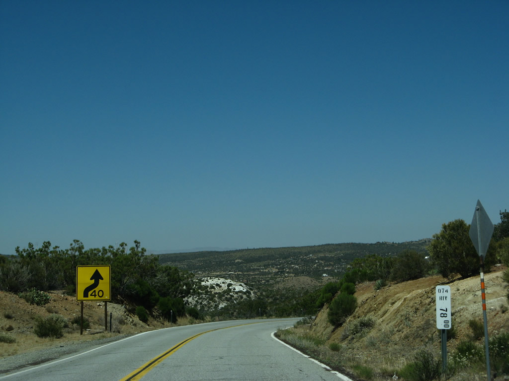
California 74 (Pines to Palms Highway) reaches Postmile 78.00 in Riverside County. Photo taken 06/07/08. |
|
Another California 74 route marker is posted along eastbound. Photo taken 06/07/08. |
|
|
|
|
|
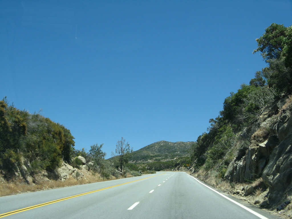
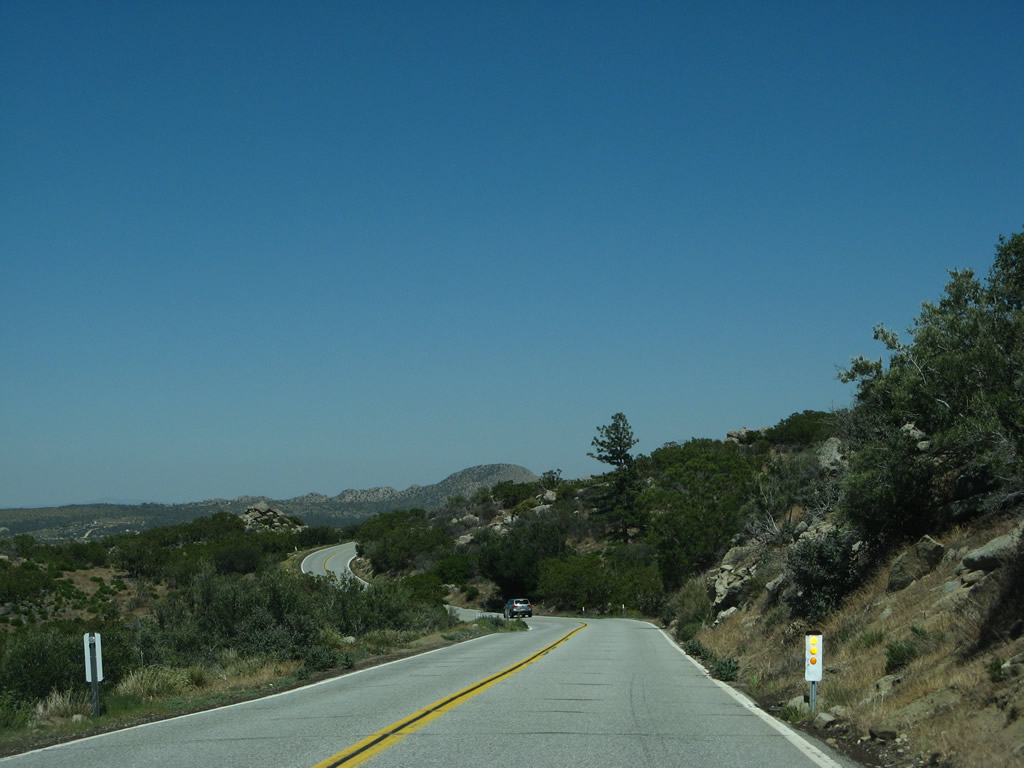
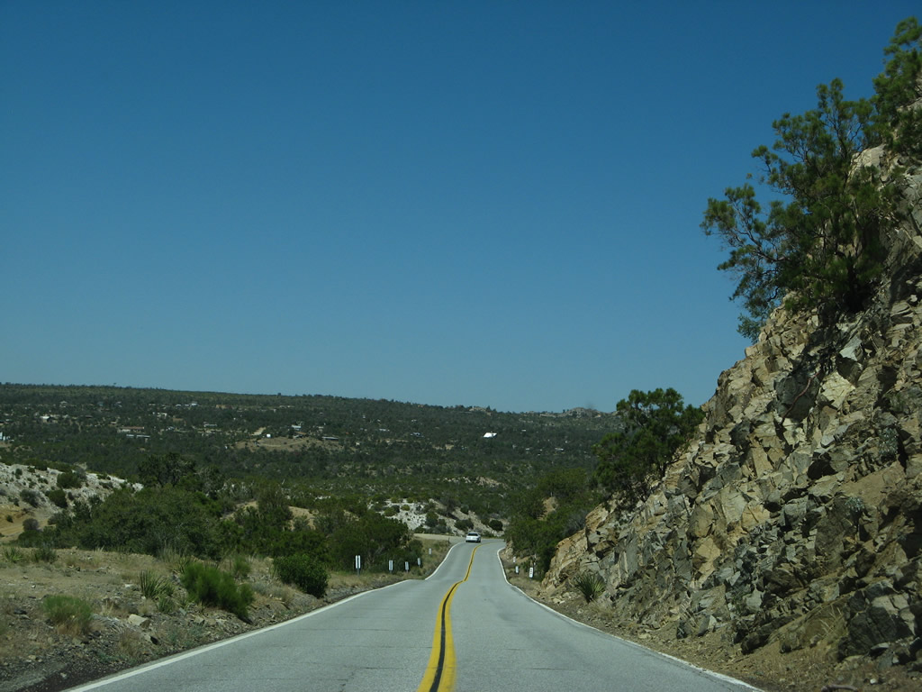
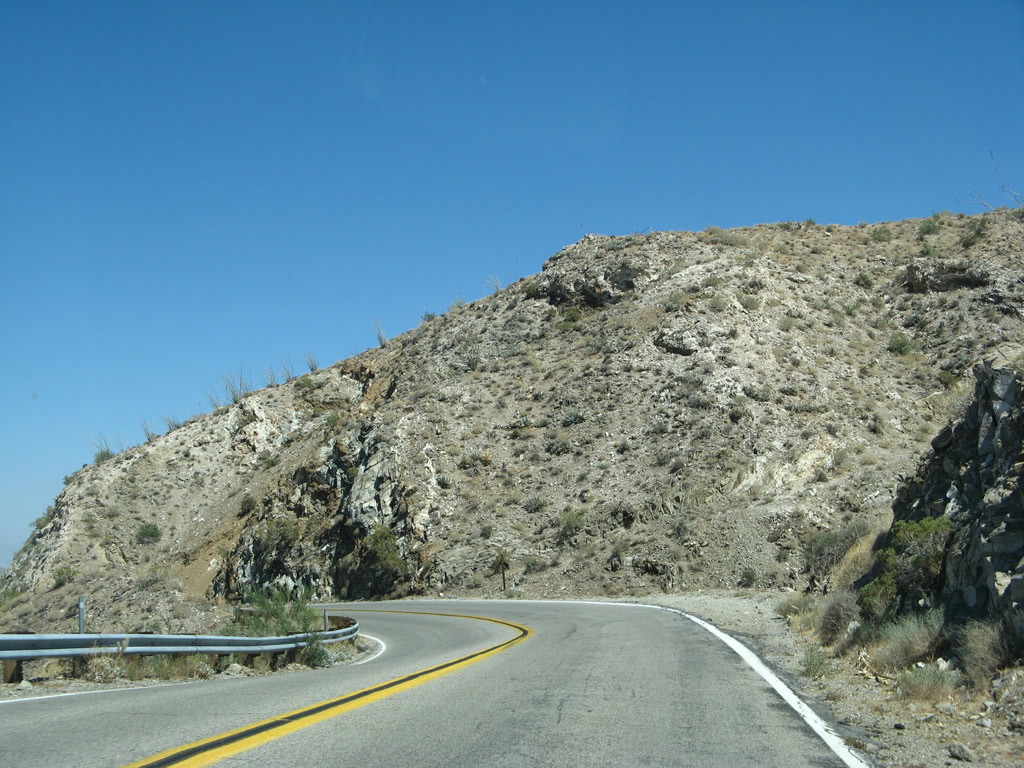
| California 74 proceeds east again between the California 371 intersection and Pinyon Flat, where California 74 will take a turn north toward Palm Desert. Gaining more desert-like characteristics, California 74 east passes by increasing amounts of high-elevation scrub and arid grassland. Photos taken 06/07/08. |
|
|
|
|
|
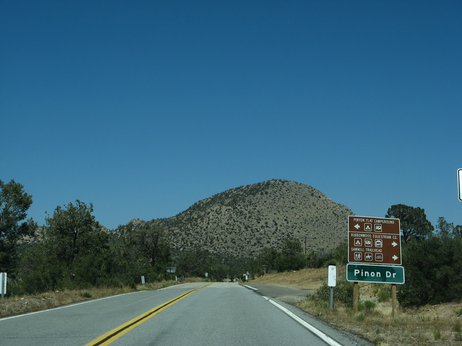
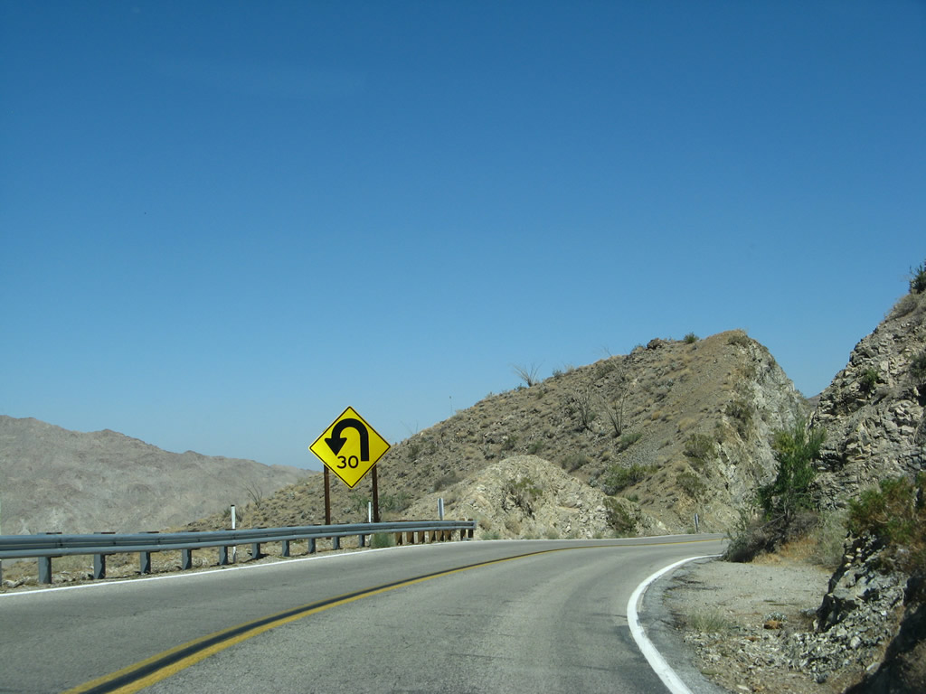
| Eastbound California 74 approaches Palm Canyon Drive, which is a dirt road that travels north to provide local/ranch access. From there, California 74 approaches the Pinyon Flat area. Despite the roadway's narrowness, occasional turnouts allow slower vehicles to pull over and let faster vehicles pass. Upon reaching Pinon Drive, turn left for the Pinyon Flats Campground. Photos taken 06/07/08. |
|
|
|
|
|
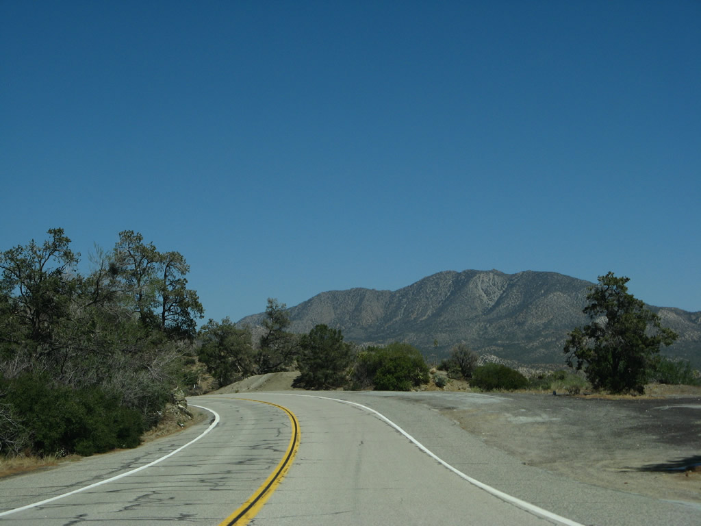
| Leaving the vicinity of Pinyon Flats, California 74 (Pines to Palms Highway) begins to turn northeast and eventually north; it will follow this trajectory all the way to Palm Desert. For the next 11 miles, California 74 will see a dramatic drop in elevation, losing much of what it had gained just east of Hemet (California 79) on the way uphill to Mountain Center (California 243). For those who love driving mountainous, desert highways, this is a terrific drive. Photos taken 06/07/08. |
|
|
|
|
|
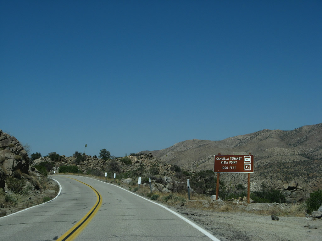
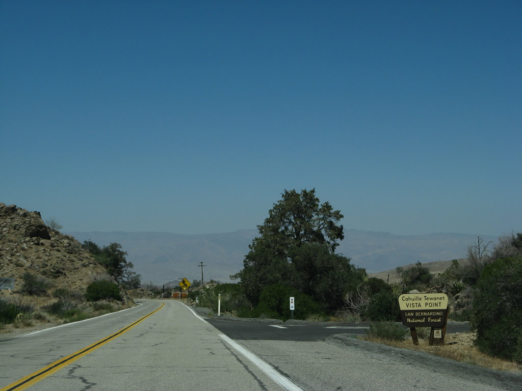
| Soon thereafter, California 74 approaches the turnoff for the Cahuilla Tewanet Vista Point, which offers a view of the surrounding desert and mountains, with a small parking area, an observation deck, picnic area, and short walking trail. Photos taken 06/07/08. |
|
|
|
|
|
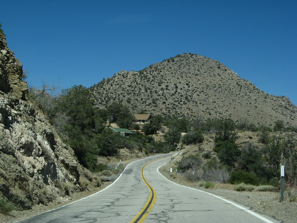
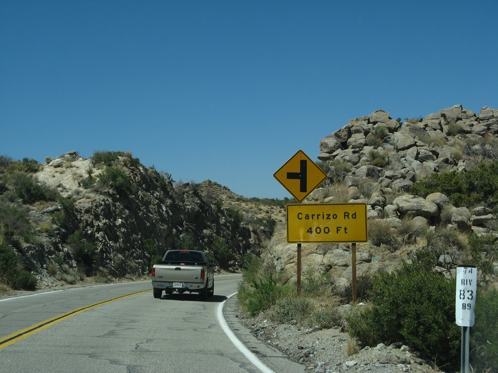
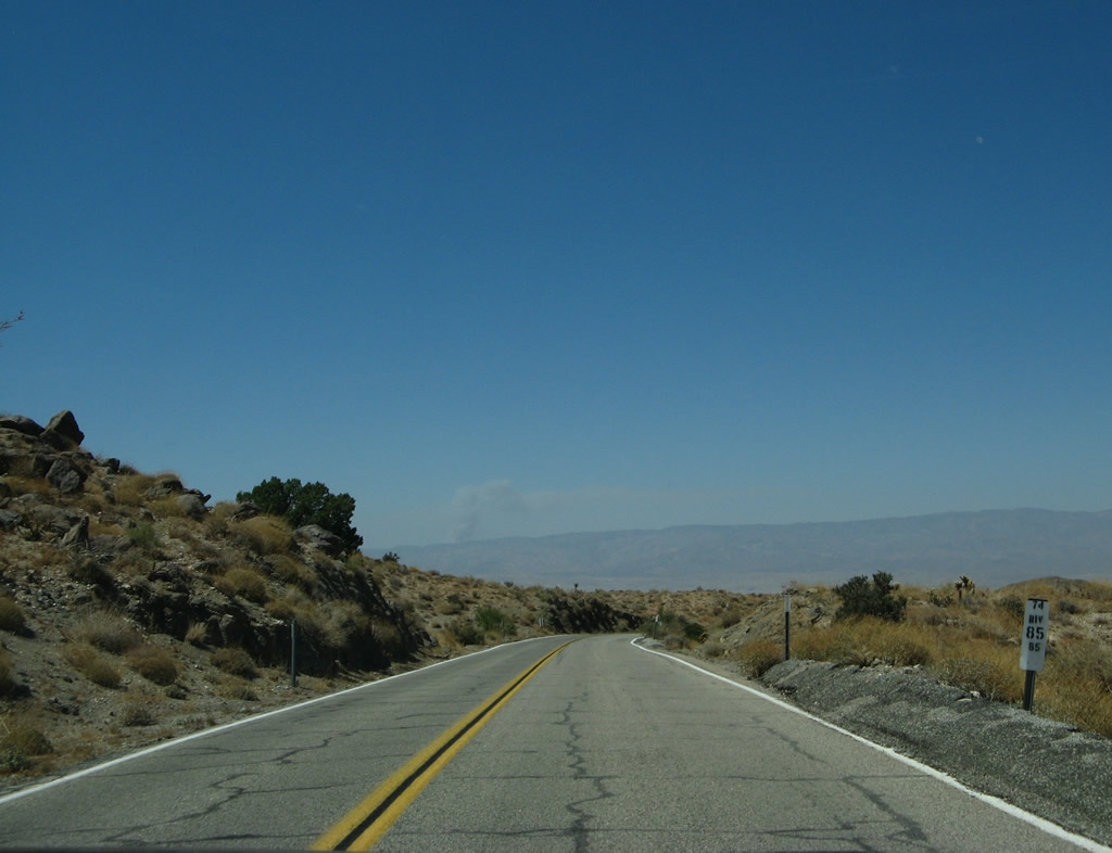
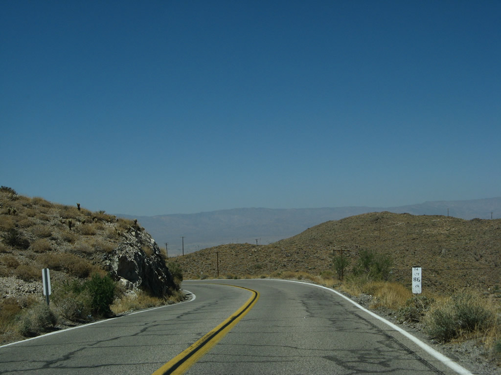
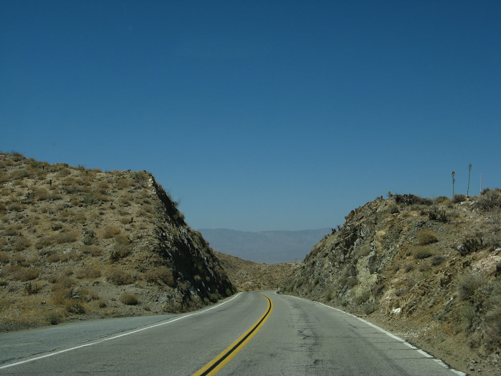
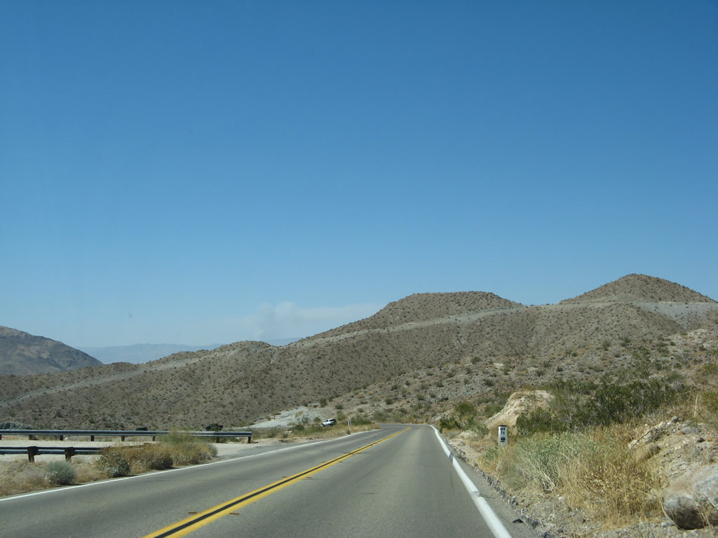
| Continuing northeast and then north, California 74 (Pines to Palms Highway) follows a ridge parallel to Deep Canyon to the east and Sugarloaf Mountain and Black Hill on the west side of the highway. The state route approaches Carrizo Road and enters the range for the Peninsular Bighorn Sheep. The scenery shifts from scrubby, arid hills to a more defined desert, with even less foliage and more craggy rocks. Views to the north and east showcase the desert and the Coachella Valley. The state route will descend significantly over the ten-mile distance to Palm Desert. The ridge in the distance (at the north end of the Coachella Valley) is the Indio Hills, and Joshua Tree National Park lies beyond the hills. Photos taken 06/07/08. |
|
|
|
|
|
|
|
|
|
|
|
|
|
|
|
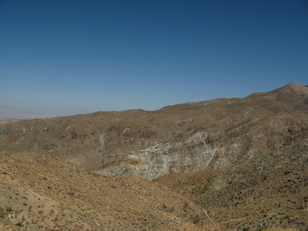
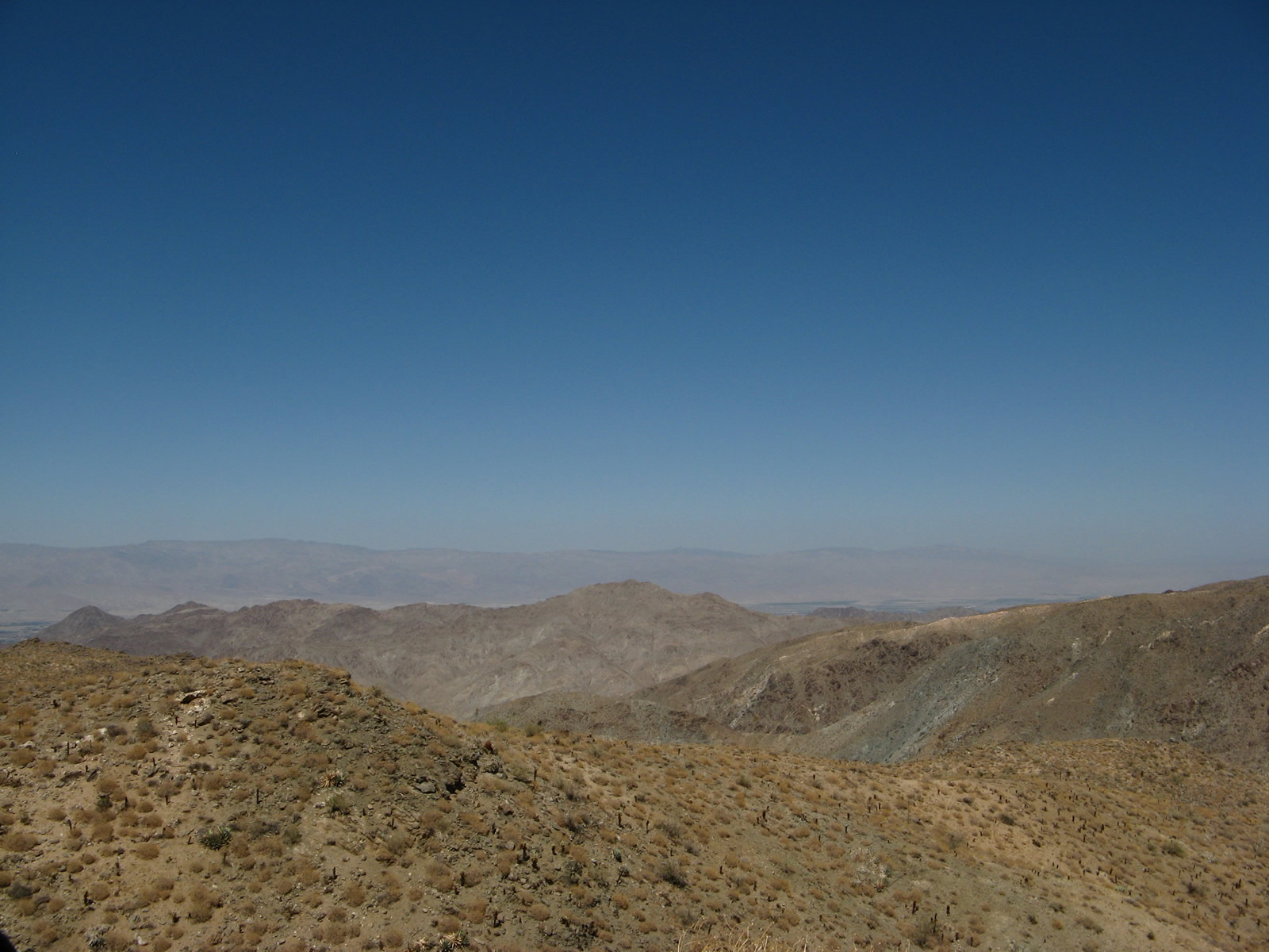
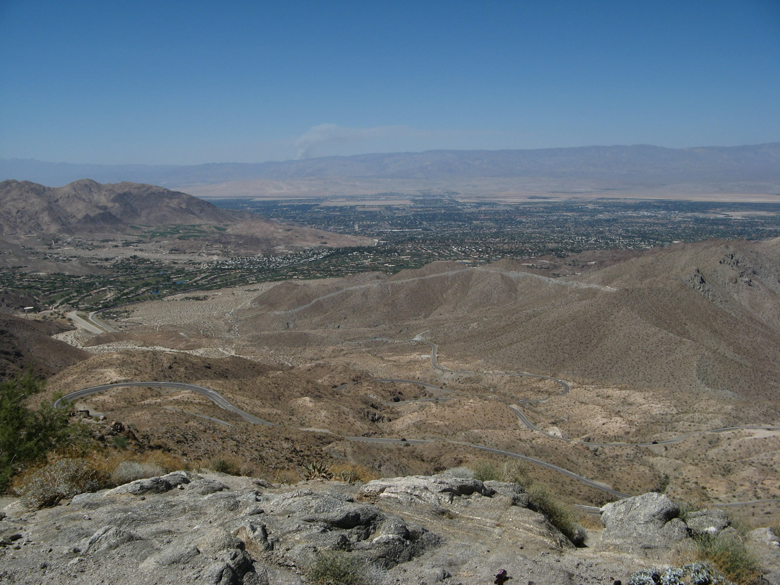
| The final descent into Palm Desert is made via an engineering marvel known as Seven Level Hill (also known as the Seven Steps section of California 74). Unchanged since its original construction in the 1930s, California 74 will take a series of twists and turns through seven separate switchbacks that ultimately bring the state route down about 4,000 feet into Palm Desert in the Coachella Valley.1 A vista point at the top of Seven Level Hill offer a compelling view of the proceedings, with many of the "levels" visible on the hillside below. The hillside and its seven levels were featured prominently at the beginning of the movie It's a Mad, Mad, Mad, Mad World. Photos taken 06/07/08. |
|
|
|
|
|
| Continuing downhill, motorists should watch not only the sharp descent but also the switchbacks and sharp turns along this stretch of California 74. Cuts were made into the rock to ensure proper highway grading and to mitigate the steep descent. On occasion, uphill (westbound) traffic is granted a passing lane. Civilization awaits at the bottom of the hill. Photos taken 06/07/08. |
|
|
|
|
|
|
|
|
|
|
|
|
|
|
|
|
|
|
|
|
| A visitors center for the Santa Rosa and San Jacinto Mountains National Monument is located near the bottom of Seven Level Hill. Turn right for access into the information center. Immediately thereafter, California 74 enters the city of Palm Desert (population was 48,445 as of the 2010 Census and incorporated as a city on November 26, 1973). At this point, the state of California ceases maintenance of California 74 (Pines to Palms Highway), and the city takes over responsibility for maintaining and signing the remainder of California 74 from here north to California 111. The only indication of this change is the white paddle next to the city limits sign that reads "CT endS/CITY begin," with "CT" meaning Caltrans. Photos taken 06/07/08. |
|
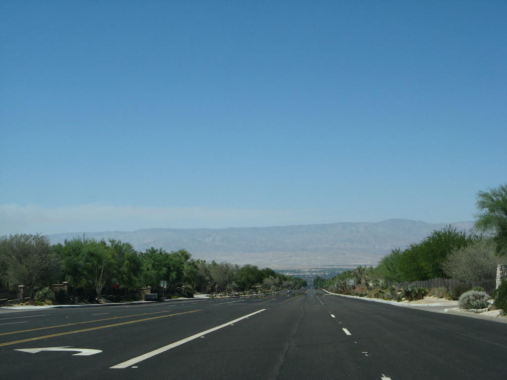
Upon entering the city limits of Palm Desert, California 74 changes dramatically. While still heading downhill, California 74 is now five lanes wide with desert-themed landscaping, residences hiding behind decorative soundwalls, and a straight descent toward California 111. This section of California 74 was decommissioned from Caltrans and transferred to the city of Palm Desert in early 2008, so this picture was taken not long after relinquishment. For travelers along the highway, the change is notable for the sudden appearance of development and more traffic, and less about the change in the entity that maintains the highway. Photo taken 06/07/08. |
|
Northbound California 74 approaches one of its first intersections in Palm Desert, with Cahuila Way. Photo taken 06/07/08. |
|
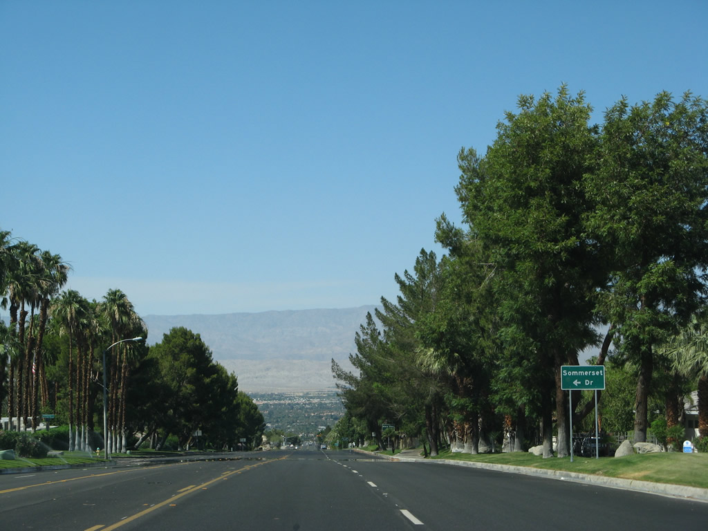
Soon thereafter, California 74 east approaches Sommerset Drive. These side streets serve various residences mostly obscured from the main highway. Photo taken 06/07/08. |
|
Irrigation brings a green to the otherwise barren landscape. Trees rise along California 74 as it proceeds almost due north through Palm Desert to meet Mesa View Drive. Photo taken 06/07/08. |
|
California 74 next approaches Desert Flower Drive. Photo taken 06/07/08. |
|
Eastbound California 74 meets Haystack Road at this traffic signal. Photo taken 06/07/08. |
|
Despite the residential areas on both sides of California 74, the highway still sees a 55 mile per hour speed limit north of Haystack Road. A series of frontage roads separate the main traffic from the traffic accessing the houses on either side of the street. Photo taken 06/07/08. |
|
The next signalized intersection along California 74 north is with Shadow Mountain Drive. Photo taken 06/07/08. |
|
At El Paseo, California 74 reaches the downtown area of Palm Desert. Turn left at the El Paseo traffic signal to the Palm Desert visitors center and Palm Desert Historical Society. Photo taken 06/07/08. |
|
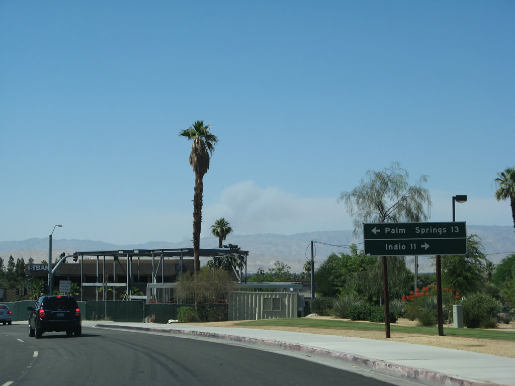
After El Paseo, California 74 next approaches California 111. This will mark the eastern terminus of California 74, which is not marked with any end shield nor any advance signs for California 111. Continue ahead on Monterey Avenue to the Palm Desert Civic Center and an eventual connection with Interstate 10. Photo taken 06/07/08. |
|
A destination sign points the way to Indio via California 111 east and Palm Springs via California 111 west. Like this section of California 74, much of California 111 through the urbanized Coachella Valley has been relinquished to the local jurisdictions including (in this case) the city of Palm Desert. The State of California does not maintain this section of 111, but it is known locally as "Highway 111" and has occasional signs pointing to the continuation of the highway. Photo taken 06/07/08. |
|
Northbound California 74 (known as Highway 74) meets California 111/Palm Desert Drive (Highway 111) at this traffic signal. Monterey Avenue continues north of here, and California 111 travels east to Indio or west to Palm Springs. California 111 was turned over to the city of Palm Desert for maintenance in March 2008, just a few months before these pictures were taken. Photo taken 06/07/08. |
| Monterey Avenue (Unconstructed California 74) north |
|
Although not designated as a state highway north of the California 111/Palm Desert Drive intersection with California 74 (Pines to Palms Highway) in the city of Palm Desert, Monterey Avenue follows the approximate route of the proposed yet unconstructed section of California 74 between California 111 and Interstate 10. This picture shows a panoramic scene along northbound Monterey Avenue after the Gerald Ford Drive intersection. Development is proceeding at a rapid rate along this corridor. To the east is the city of Palm Desert and to the west is the city of Rancho Mirage. Photo taken 02/25/06. |
|
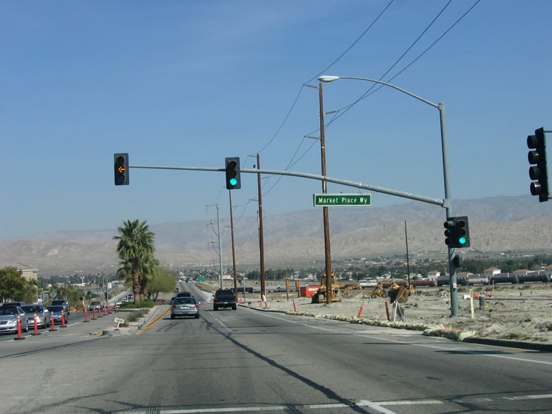
Northbound Monterey Avenue approaches Marketplace Way. The shopping center between Marketplace Way and Dinah Shore Way is located within Rancho Mirage, while the Monterey Shore Plaza on the northwest corner of Monterey Avenue and Dinah Shore Way is located within Palm Desert. Photo taken 02/25/06. |
|
As Monterey Avenue passes Dinah Shore Way and crosses over the Union Pacific Railroad, Monterey Avenue approaches Interstate 10 near the point where California 74 would end if it were extended north from California 111. Photo taken 02/25/06. |
|
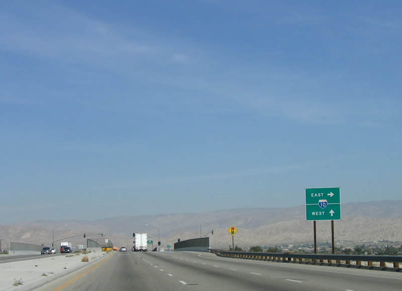
Monterey Avenue crosses the Union Pacific Railroad viaduct. Turn right (east) connect to Interstate 10 eastbound to Indio, Blythe, and Phoenix. Photo taken 02/25/06. |
|
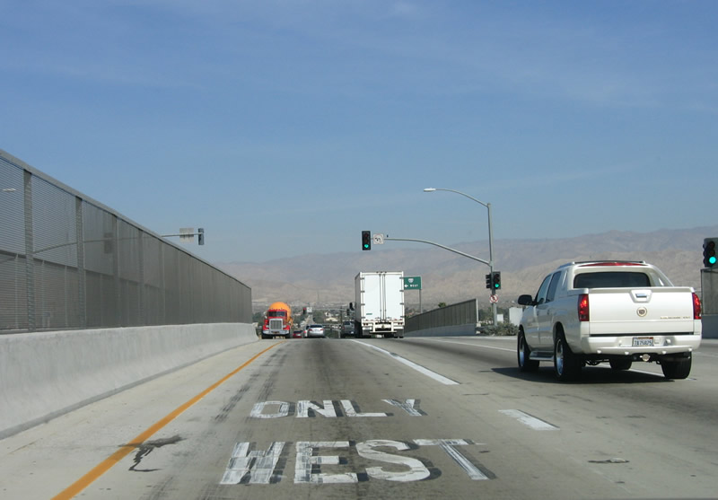
The next traffic signal provides the connection to Interstate 10 west en route to San Bernardino, Riverside (via California 60), and Los Angeles. Photo taken 02/25/06. |
|
Now at the intersection with the ramp to westbound Interstate 10, Monterey Avenue continues north into unincorporated Thousand Palms. Photo taken 02/25/06. |
Page Updated October 17, 2012.