| California 79 south |
|---|
|
|
|
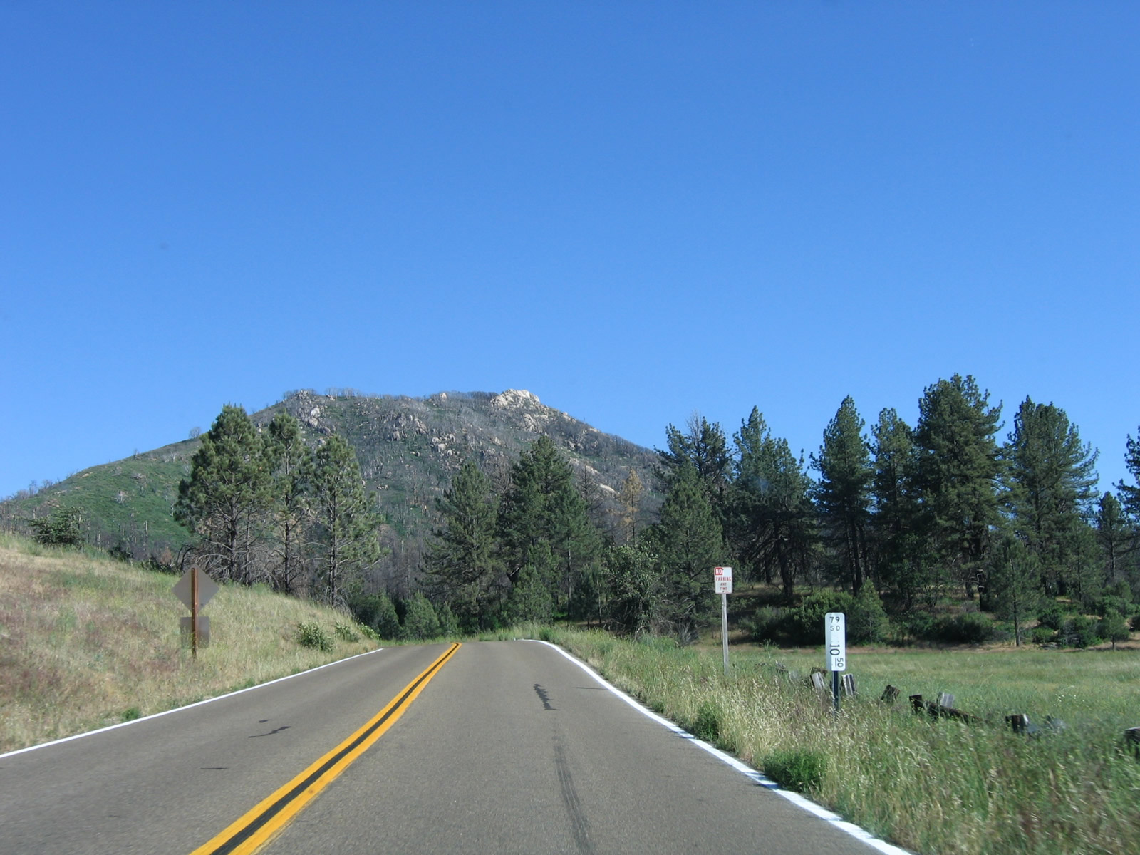
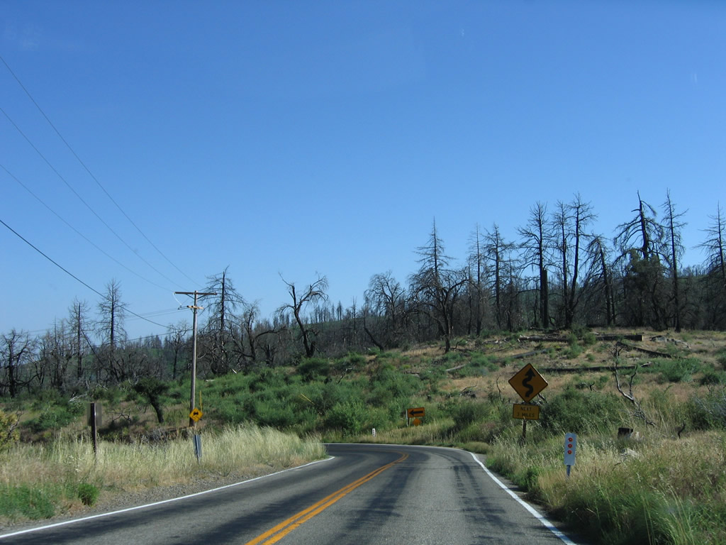
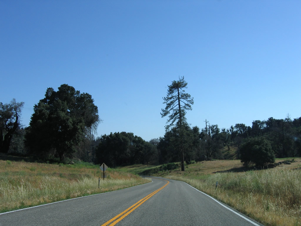
Now in San Diego County, southbound California 79 enters the unincorporated community of Sunshine Summit (also known as Holcomb Village on some maps) at an elevation of 3,282 feet. Photos taken 08/25/07. |
|
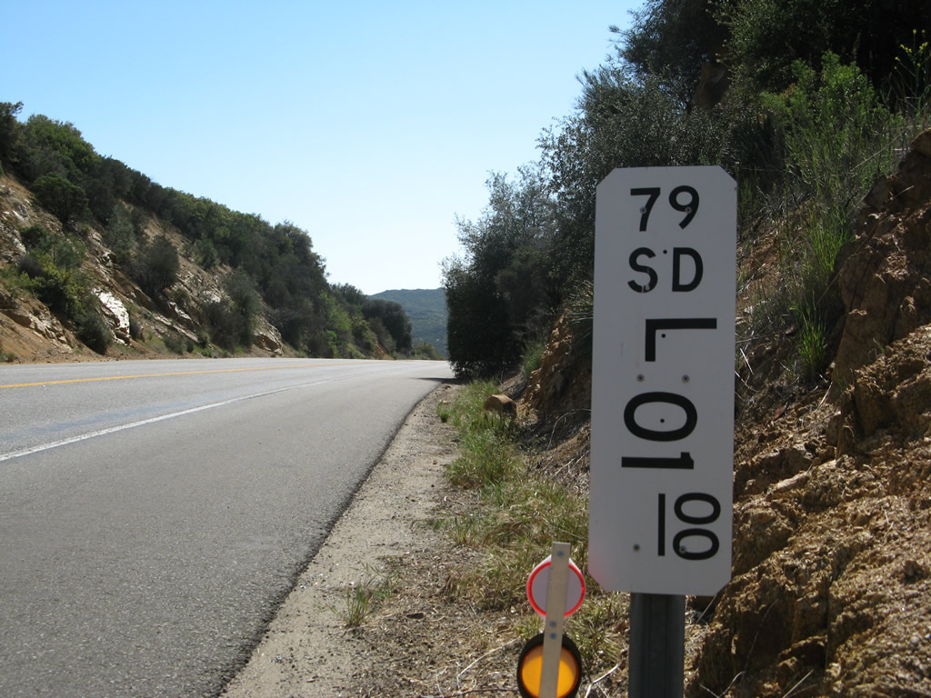
A worn button copy mileage sign provides the distance to Warner Springs (eight miles), Lake Henshaw (19 miles), and Santa Ysabel (23 miles). Photos taken 08/25/07. |
|
|
|
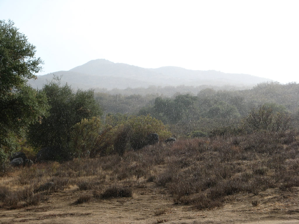
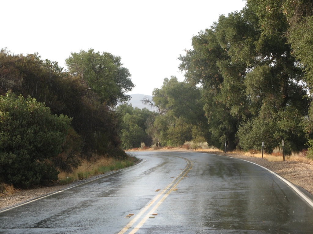
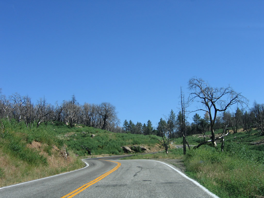
Rainfall from a monsoonal thunderstorm partially obscured the view of Hot Springs Mountain as SR 79 climbs toward Sunshine Summit. Photos taken 08/25/07. |
|
|
|
|
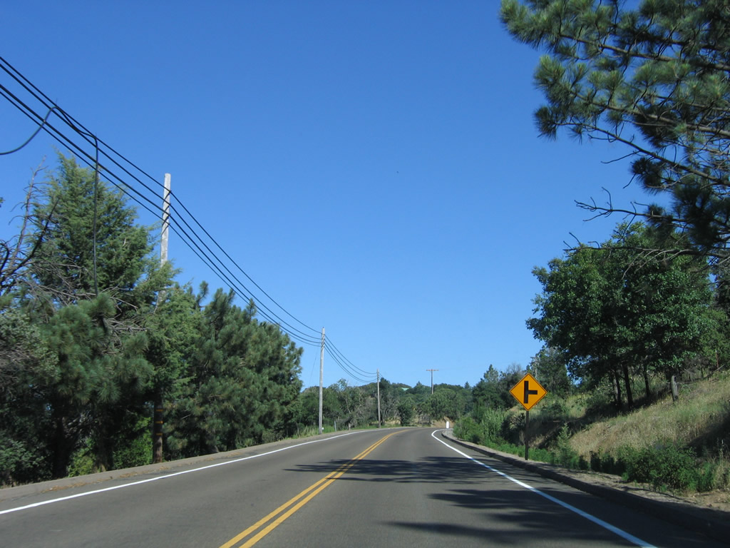
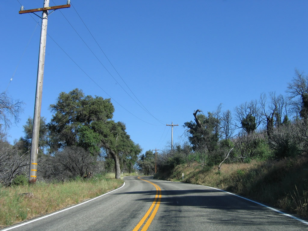
Past Warner Springs, southbound California 79 approaches San Diego County S-2 (San Felipe Road). A mileage sign points the way to Ranchita and Borrego Springs via CR S-2, which is a major northwest-southeast highway that follows the western edge of Anza-Borrego Desert State Park. To Ranchita, Borrego Springs, the main visitors center for Anza-Borrego Desert State Park, and Salton City, follow CR S-2 (San Felipe Road) southeast to CR S-22 (Montezuma Valley Road) east. Photo taken 03/31/06. |
|
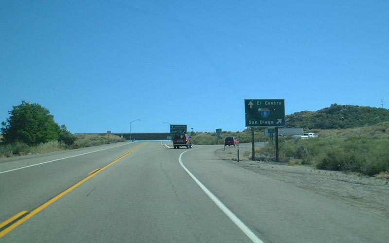
Southbound California 79 meets San Diego County S-2 at this intersection. Note the error (the county shield shows "Imperial" rather than "San Diego" County). To San Felipe, California 78 east to Brawley, Shelter Valley, Agua Caliente, Ocotillo, Interstate 8 east to El Centro, and California 98 east to Calexico, followCR S-2 southeast. Photo taken 03/31/06. |
|
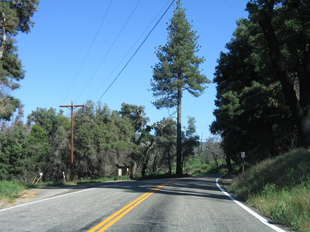
A San Diego Gas and Electric (SDG&E) substation is located on the east side of California 79 after the San Diego County S-2 intersection. From here, California 79 will travel south toward Morettis Junction, where it will meet with California 76 southeast of Lake Henshaw. Photo taken 04/20/13. |
|
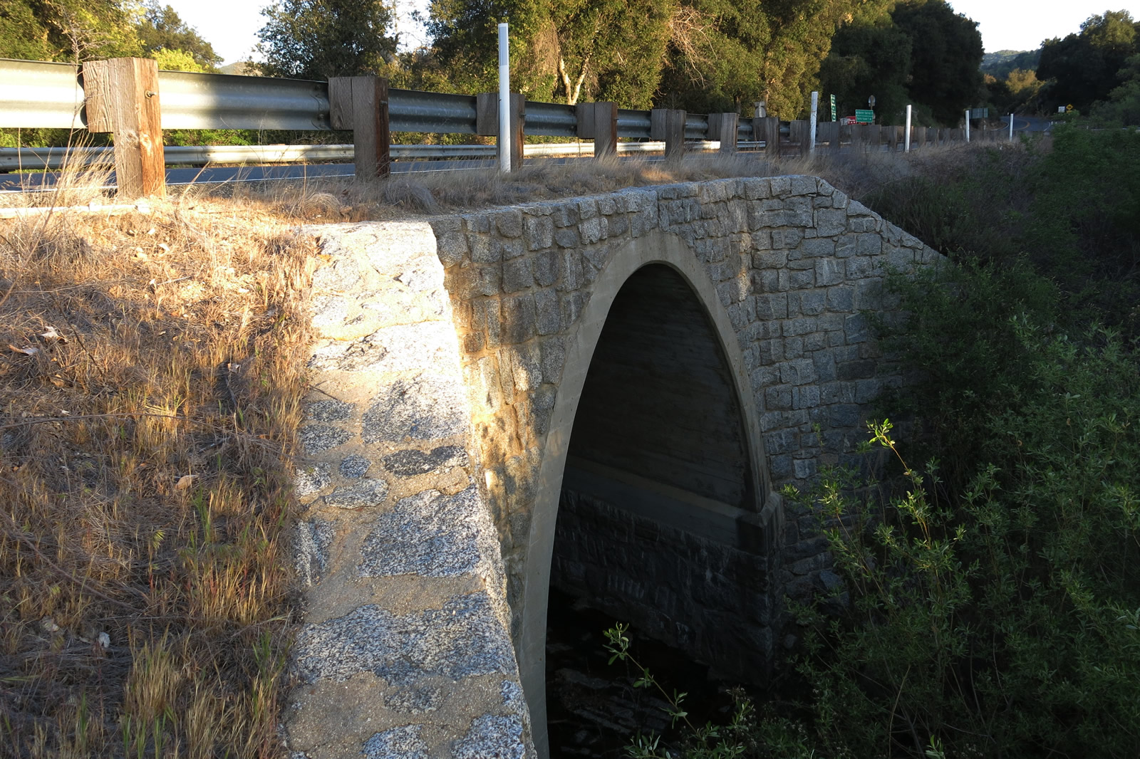
A 1948 bridge carries California 79 over Buena Vista Creek. Note the rails that were repurposed as bridge railing. Photo taken 04/20/13. |
|
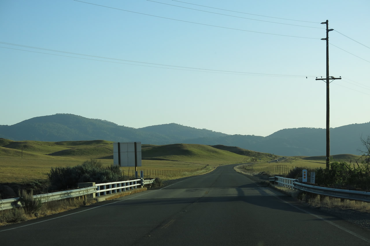
With the end of the rainy season, the hills were still green. In another couple months, the area would be comparably dry and brown. Photo taken 04/20/13. |
|
California 79 travels southwest and crests over a hill, then descends toward Matagual Creek and Morettis Junction. Photo taken 04/20/13. |
|
The next left turn connects California 79 to Matagual Road, which leads to the Mataguay Boy Scout Ranch. Photo taken 04/20/13. |
|
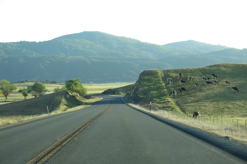
Cows graze on the edge of California 79. Photo taken 04/20/13. |
|
California 79 crosses over Matagual Creek on this 1946 bridge. Photo taken 04/20/13. |
|
|
|
Progressing southward toward the Morettis Junction area along California 79. Photos taken 04/20/13. |
|
Descending into in the valley shared with Lake Henshaw, trees increase in number along California 79. Photo taken 04/20/13. |
|
Southbound California 79 approaches California 76, which travels west to Lake Henshaw, Palomar Mountain, and Pala. Photo taken 04/20/13. |
|
This mileage sign provides the distance to Santa Ysabel (seven miles via California 79 south), Pauma (21 miles via California 76 west), and Oceanside (54 miles via California 76 west). Photo taken 04/20/13. |
|
A set of California 76 and California 79 route markers is posted just before the California 76 intersection. Photo taken 04/20/13. |
|
Just prior to the intersection with California 76, California 79 crosses over this stone arch culvert. Photo taken 04/20/13. |
|
Standing above the culvert, southbound California 79 approaches California 76. Through traffic on California 79 does not stop. Photo taken 04/20/13. |
|
Southbound California 79 meets California 76 west at this intersection. Turn right here for Pauma Valley, Pala, Bonsall, and Oceanside. Photo taken 04/20/13. |
|
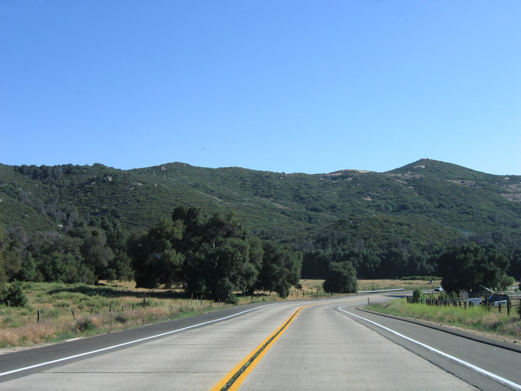
Now south of the California 76 intersection, southbound California 79 passes a mileage sign that provides the distance to Santa Ysabel (California 78, seven miles), Julian (14 miles), and Interstate 8 (37 miles via Cuyamaca Rancho State Park). Photo taken 06/16/06. |
|
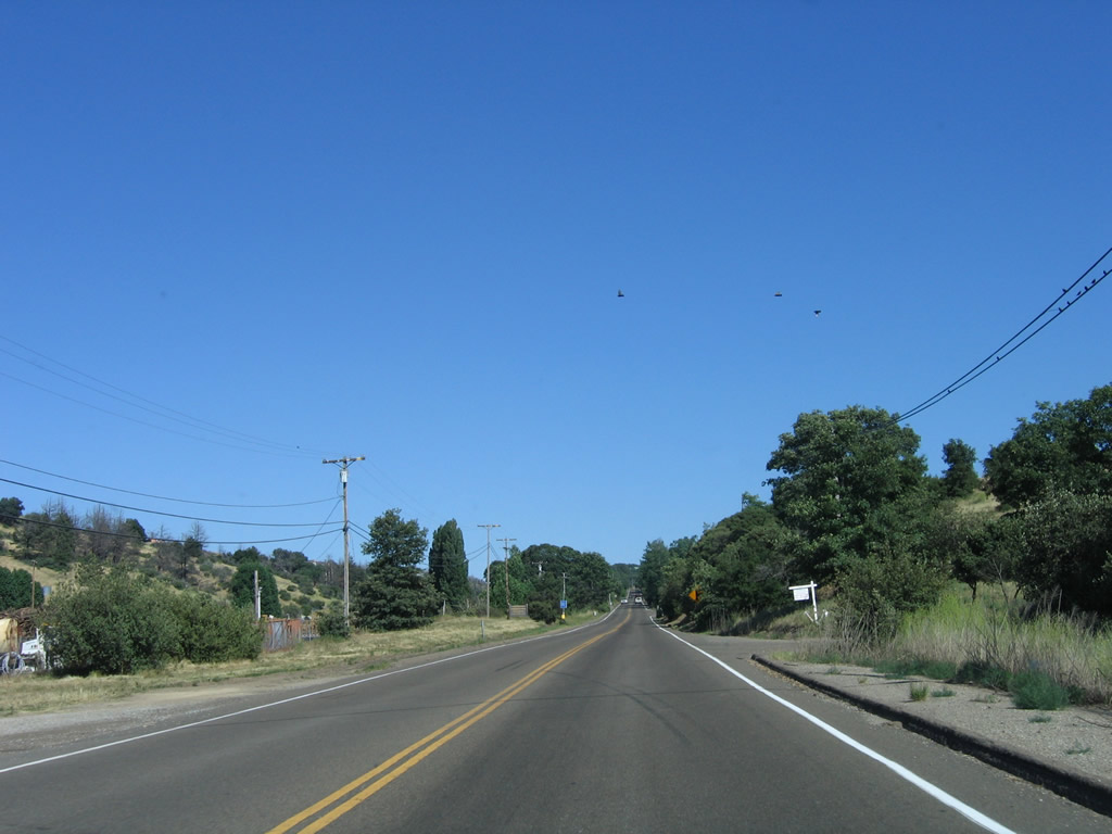
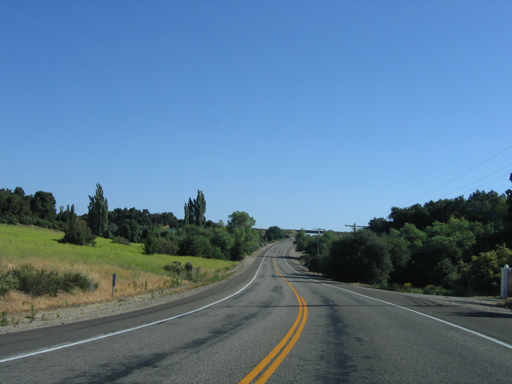
California 79 remains a two-lane, rural highway between the California 76 intersection and Santa Ysabel. Photo taken 06/16/06. |
|
Southbound California 79 meets the turnoff to the Santa Ysabel Resort and Casino. Photo taken 11/11/10. |
|
The main administrative offices of the Santa Ysabel Indian Reservation are located on School House Canyon Road off California 79. Turn left ahead for access to Santa Ysabel Indian Reservation. Photo taken 06/16/06. |
|
Through the valley between the casino and Santa Ysabel, California 79 maintains several long, straight segments such as this one. Photo taken 06/16/06. |
|
Southbound California 79 approaches Mesa Grande Road, which travels west to Mesa Grande. Photo taken 06/16/06. |
|
|
Continuing south, look for the turnoff to Santa Ysabel Chapel, which is sited on the location of the historic Santa Ysabel Asistencia along California 79 southbound. Photos taken 06/16/06 and 04/20/13. |
|
The original white railing of this older bridge is partially obscured by a more modern guardrail. Photo taken 06/16/06. |
|
California 79 proceeds southbound toward its eventual rendezvous with California 78. Photo taken 06/16/06. |
|
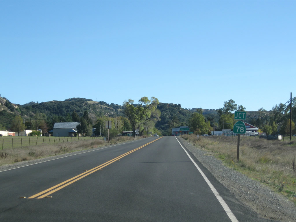
Southbound California 79 approaches California 78, a major east-west state route that extends from Oceanside to Blythe via Vista, San Marcos, Escondido, Ramona, Santa Ysabel, Julian, Westmorland, Brawley, and Glamis. Photo taken 11/11/10. |
|
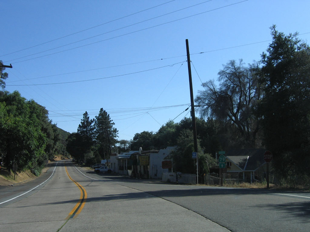
California 79 enters the unincorporated community of Santa Ysabel. Photo taken 11/11/10. |
|
Use California 78 east to Julian or west to Ramona, Escondido, and San Diego. Photo taken 06/16/06. |
|
Southbound California 79 meets California 78 at this stop sign. Turn left for California 78 east and California 79 south to Julian or turn right for California 78 west to Ramona and Escondido. Photo taken 06/16/06. |
|
A set of California 78 and California 79 route markers is posted at the intersection in Santa Ysabel. Photo taken 06/16/06. |
|
California 79 separates from California 78 just east of downtown Julian. The speed limit increases as we leave the business area and reenter rural lands. Photo taken 06/16/06. |
|
This mileage sign provides the distance to Lake Cuyamaca (located in the community of Cuyamaca), Cuyamaca Rancho State Park, and the junction with Interstate 8 near Descanso, where California 79 meets its southern terminus. Photo taken 06/16/06. |
|
California 79 proceeds due south from California 78 toward Cuyamaca Rancho State Park. Photo taken 06/16/06. |
|
Southbound California 79 approaches Jess Martin Park south of Julian. This community park, operated by San Diego County, offers sportsfield and active use recreational opportunities. Photo taken 06/16/06. |
|
|
|
|
|
| This series of pictures follows California 79 south between Jess Martin Park and the Vista Point. California 79 stays in rural areas with occasional residential developments on both sides of the state route. Intersections include Old Cuyamaca Road (Old California 79), Oak Land Road and Royal Drive, and Inspiration Point Road. Photos taken 06/16/06. |
|
Southbound California 79 meets Inspiration Point Road, which travels west to a scenic vista point that looks onto the Imperial Valley and Colorado Desert several thousand feet lower in elevation. The stark contrast between the Laguna Mountains and Colorado Desert make this a worthwhile stop for first time visitors to the area. Photo taken 06/16/06. |
|
From the scenic overlook along California 79, this view shows Banner Grade and California 78 winding its way east toward Julian and west toward the Salton Sea. Photo taken 07/20/04. |
|
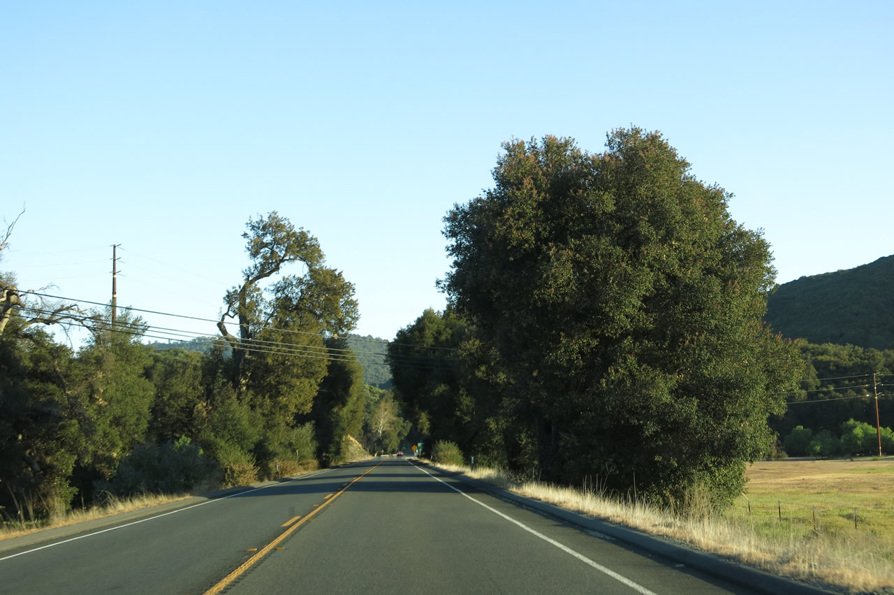
Despite the destruction of forests as a result of the Cedar Fire of 2003, plenty of trees still remain along the California 79 corridor as we continue south from Julian toward Cuyamaca Rancho State Park. Photo taken 06/16/06. |
|
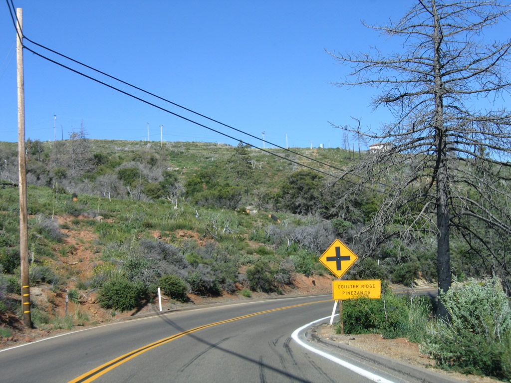
However, plenty of destroyed trees still remained evident along the state highway as seen in this picture, which was taken three years after the Cedar Fire of 2003. Southbound California 79 approaches Coulter Ridge Pinezanita. Photo taken 06/16/06. |
|
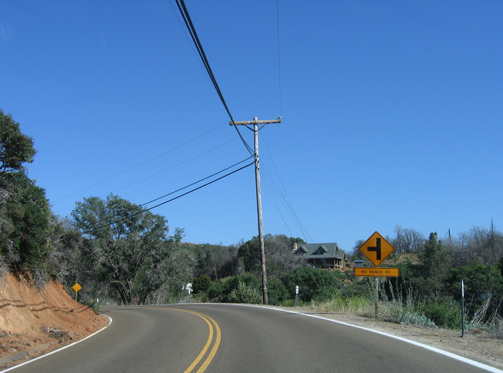
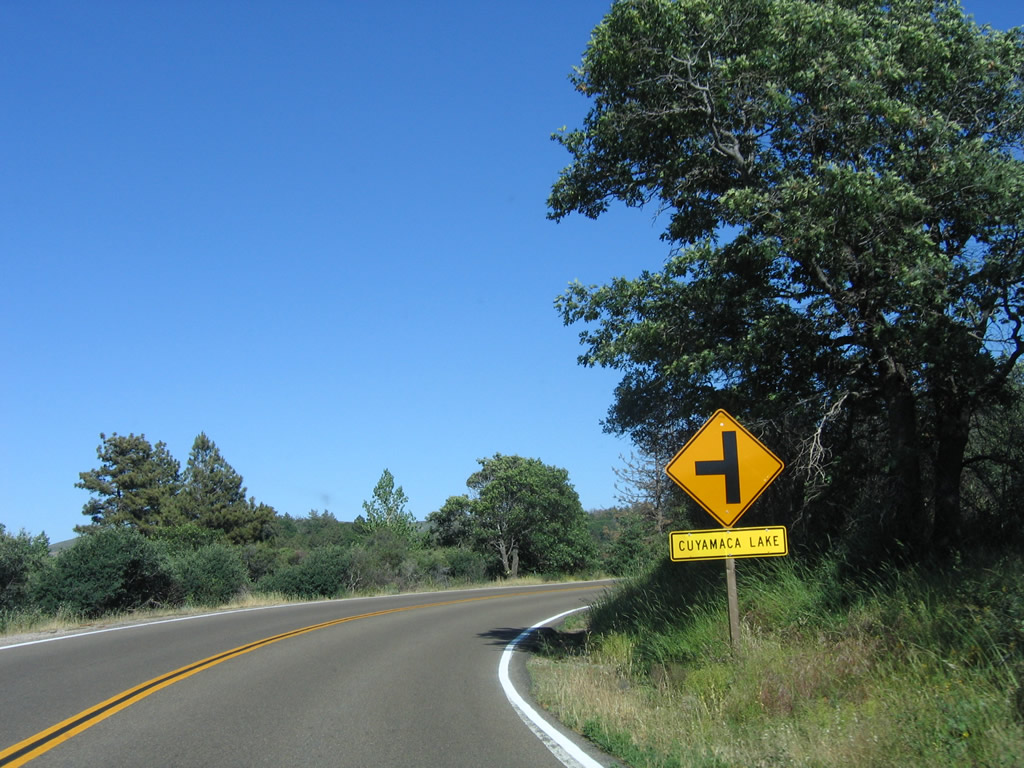
A left turn connects southbound California 79 with KO Ranch Road. Photo taken 06/16/06. |
|
California 79 proceeds south past more rural lands and scenic mountains. Photo taken 06/16/06. |
|
After rounding a bend, California 79 will curve southwest toward Cuyamaca. Photo taken 06/16/06. |
|
|
|
|
|
| Southbound California 79 approaches and meets the junction with San Diego County S-1 (Sunrise Highway), which travels south toward Mount Laguna and the peaks of the Laguna Mountains. California 79 aims southwest to Cuyamaca and Cuyamaca Rancho State Park. A mileage sign points the way to both Mount Laguna and Cuyamaca Rancho State Park. CR S-1 travels south to Mount Laguna, then descends to Pine Valley and proceeds east and south to Campo, where it ends at California 94. This intersection marks the northern terminus of CR S-1. Photo taken 06/16/06. |
|
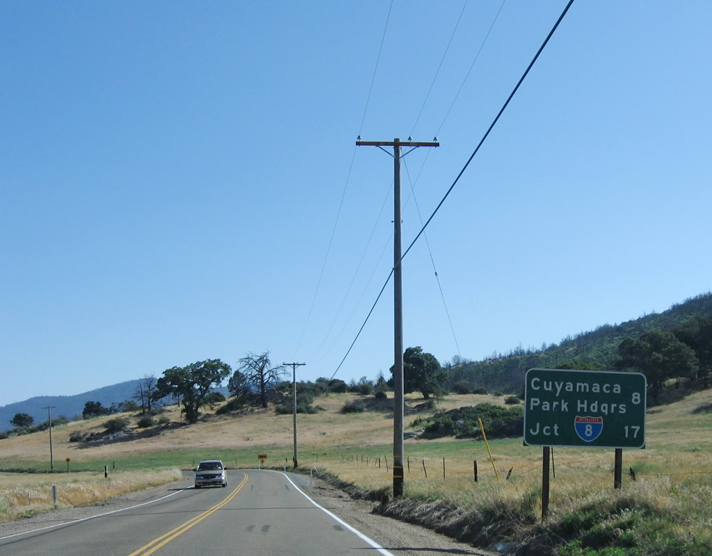
Leaving the intersection with San Diego County S-1 (Sunrise Highway), this mileage sign along California 79 south provides the distance to the Cuyamaca Rancho State Park Headquarters (eight miles) and Interstate 8 south of Descanso (17 miles). Photo taken 06/16/06. |
|
California 79 continues south toward Cuyamaca. Stonewall Peak comes into view. Photo taken 06/16/06. |
|
This view of the meadows along southbound California 79 is afforded after the San Diego County S-1 (Sunrise Highway) intersection. Photo taken 06/16/06. |
|
Partially obscured by power lines, Stonewall Peak (el. 5,700 feet) appears as California 79 continues south toward Cuyamaca. Photo taken 06/16/06. |
|
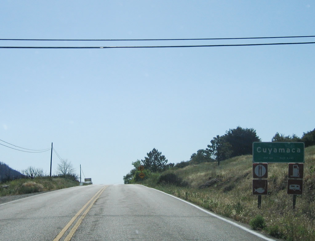
Southbound California 79 approaches Yaqui Drive, which is in the unincorporated community of Cuyamaca. This area was hit hard by the 2003 Cedar Fire, with multiple homes destroyed. Photo taken 06/16/06. |
|
With Stonewall Peak in the background, Lake Cuyamaca -- a reservoir situated at an elevation of 4,600 feet and operated by the Helix Water District in San Diego -- comes into view along California 79 south. Photo taken 06/16/06. |
|
Southbound California 79 curves toward the west briefly and enters the unincorporated community of Cuyamaca. Photo taken 06/16/06. |
|
Nearing the dam that impounds Lake Cuyamaca, California 79 curves south and then southeast. Photo taken 06/16/06. |
|
Sadly, several thousand trees were destroyed during the 2003 Cedar Fire, even though the remains of the trees were still evident on this hillside back when this picture was taken. Photo taken 06/16/06. |
|
Southbound California 79 meets Wolahi Drive in Cuyamaca, then curves east to follow the shoreline of Lake Cuyamaca. Photo taken 06/16/06. |
|
A California 79 south reassurance shield is posted after the Wolahi Drive intersection in Cuyamaca. Photo taken 06/16/06. |
|
The next left turn connects southbound California 79 with Lake Cuyamaca, which includes a marina for boating and fishing access to the lake. Photo taken 06/16/06. |
|
Southbound California 79 meets the turnoff to Lake Cuyamaca. Motorist services here include food, gas, and some shopping. Photo taken 06/16/06. |
|
Leaving Cuyamaca behind, California 79 proceeds south into Cuyamaca Rancho State Park. Much of the park saw damage from the 2003 Cedar Fire, resulting in significant reduction in the forest canopy. Photo taken 06/16/06. |
|
|
|
|
|
| This series of pictures shows California 79 heading southbound through Cuyamaca Rancho State Park. Familiar sights such as Lake Cuyamaca, Stonewall Peak, and the forests suffered from the 2003 Cedar Fire but are recovering. These pictures were taken three years after the fire; things have changed even more since 2006. Stonewall Peak dominates the view initially. A trail originating at Paso Picacho takes hikers to the top of Stonewall Peak. South of Lake Cuyamaca, California 79 becomes narrower with many more curves than seen north of the lake. California 79 is not a fast state highway; it is meant for a slow ride through the scenic park that is recovering from the damaging fire that passed through the area in 2003. South of Stonewall Peak, California 79 again narrows and proceeds through a series of switchbacks downhill toward the Sweetwater River crossing. Photos taken 06/16/06. |
|
|
|
|
|
|
|
|
|
|
|
|
|
|
|
|
|
|
|
|
|
|
|
|
|
|
|
|
|
|
| Southbound California 79 (Cuyamaca Highway) approaches and crosses the Sweetwater River at this bridge, which was built in 1949 along with most of this state route through Cuyamaca Rancho State Park. A trailhead for Green Valley is located just south of this bridge. Watch for rock formations and rolling hills on both sides of the state route. California 79 leaves the state park toward the end of this series of pictures. Photos taken 06/26/05 and 06/16/06. |
|
|
|
|
|
|
|
|
|
|
|
Continuing south, California 79 meets Viejas Boulevard. Turn right here for Viejas Boulevard west to Descanso or continue ahead to Interstate 8 and points west (including Viejas Indian Reservation, which includes an outlet mall and casino). Viejas Boulevard, together with Riverside Drive, offers an alternate route between here and Descanso Junction, where Riverside Drive joins again with California 79. Photo taken 06/16/06. |
|
California 79 crosses over the Sweetwater River on this older bridge. Photo taken 06/16/06. |
|
Southbound California 79 approaches Historic U.S. 80 (Old Highway 80) near Descanso. Turn left at this intersection for Old Highway 80 east to Guatay and Pine Valley, or turn right for California 79 and Old Highway 80 west to Descanso Junction, Alpine, El Cajon, and San Diego. Photo taken 06/16/06. |
|
At this intersection of California 79 and Historic U.S. 80, a guide sign pointing the way to El Centro via Old Highway 80 east and San Diego via Old Highway 80 west. Turn right for Descanso. California 79 was extended southwest over old U.S. 80 once the old U.S. Highway was decommissioned (in phases between 1964 and 1972). California 79 proceeds southwest to its current terminus at Interstate 8 Exit 40. Photo taken 06/16/06. |
| California 79 south & Historic U.S. 80 west |
|
After southbound California 79 and westbound Historic U.S. 80 merge together, this mileage sign provides the distance to Alpine (11 miles), El Cajon (24 miles), and San Diego (41 miles). Photo taken 03/15/02. |
|
|
|
|
|
| California 79 and Historic U.S. 80 proceed in a southwesterly direction after merging together. Original concrete from Old Highway 80 still serves as travel lanes, while the shoulders are asphalt. Nearing Riverside Drive, California 79 enters Descanso Junction, which is next to the unincorporated community of Descanso. Photos taken 06/16/06. |
|
California 79 and Historic U.S. 80 enter Descanso Junction, traveling generally in a southwesterly direction. Some shops and restaurants are located on the right side of the state route. The next right connects to Riverside Drive en route to Descanso. Riverside Drive loops into Viejas Boulevard, which curves east back to California 79 just north of the eastern intersection with Old Highway 80. Photo taken 06/16/06. |
|
Only one mile remains of California 79. Near this point, a remnant section of twin-slab concrete (Old U.S. 80) makes a curve that was bypassed when the modern California 79 and Wildwood Glen Lane intersection was built. Photo taken 06/16/06. |
|
|
A California 79 trailblazer is posted south of Descanso Junction as the state highway turns south again. Look for vestiges of the original configuration, which pushed U.S. 80 through the curve and onto the tall Wildwood Glen Lane bridge before California 79 was rerouted to the then-new Interstate 8 freeway. Photos taken 06/16/06 and 04/29/07. |
|
|
California 79 and Historic U.S. 80 (1950s alignment) separate at the Wildwood Glen Lane intersection. Turn right here for Wildwood Glen Lane, which travels west to a dead end. Historic Highway 80 enthusiasts may want to turn right here to travel the 1950s alignment of U.S. 80, which dead ends but has a gated segment with vintage concrete. This segment is open to hikers. A very tall bridge crosses the Sweetwater River; at one time, it was intended that this bridge be one direction of Interstate 8, but a decision was made to route Interstate 8 on the ridge above Pine Valley rather than through Pine Valley. As a result, an overbuilt bridge carries Wildwood Glen Lane to a dead end. Photos taken 06/16/06 and 04/29/07. |
| California 79 south |
|
Southbound California 79 turns south for the final distance to Interstate 8 Exit 40. Ahead on the right is a turnoff to Los Terrinitos Road, which is the original alignment of U.S. 80 (before Wildwood Glen Lane) and includes a very old arch bridge that carries Los Terrinitos Road over Sweetwater River. This is another good stop for Old Highway 80 enthusiasts visiting the area for the first time. Photo taken 06/16/06. |
|
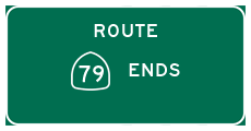
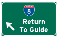
Soon thereafter, California 79 approaches Interstate 8; the first ramp connects to westbound Interstate 8 toward San Diego. This marks the southern terminus of California 79, and there is an end shield present under the Interstate 8 overcrossing. Photo taken 06/16/06. |
|
A speedy on-ramp allows quick movement from California 79 south to Interstate 8 west. Ahead, California 79 transitions into the county-maintained Japatul Valley Road, which eventually connects with Dehesa Road. Photo taken 06/16/06. |
|
An end shield for SR 79 stands below the overpass for Interstate 8. Japatul Valley Road extends south from this point as a county maintained road and a scenic alternate route to Dehesa Road, Sycuan Indian Reservation and Rancho San Diego. Photo taken 01/19/04. |
Page Updated June 22, 2013.