| California 89 north |
|
Northbound California 89 approaches the unincorporated community of Markleeville, the seat of Alpine County (the least populated county in California). Markleeville had a population of 197 as of the 2000 Census and sits at an elevation of 5,531 feet. Photo taken 07/18/09. |
|
California 89 crosses Markleeville Creek on this 1929 concrete tee beam bridge. The downtown area lies ahead. Photo taken 07/18/09. |
|
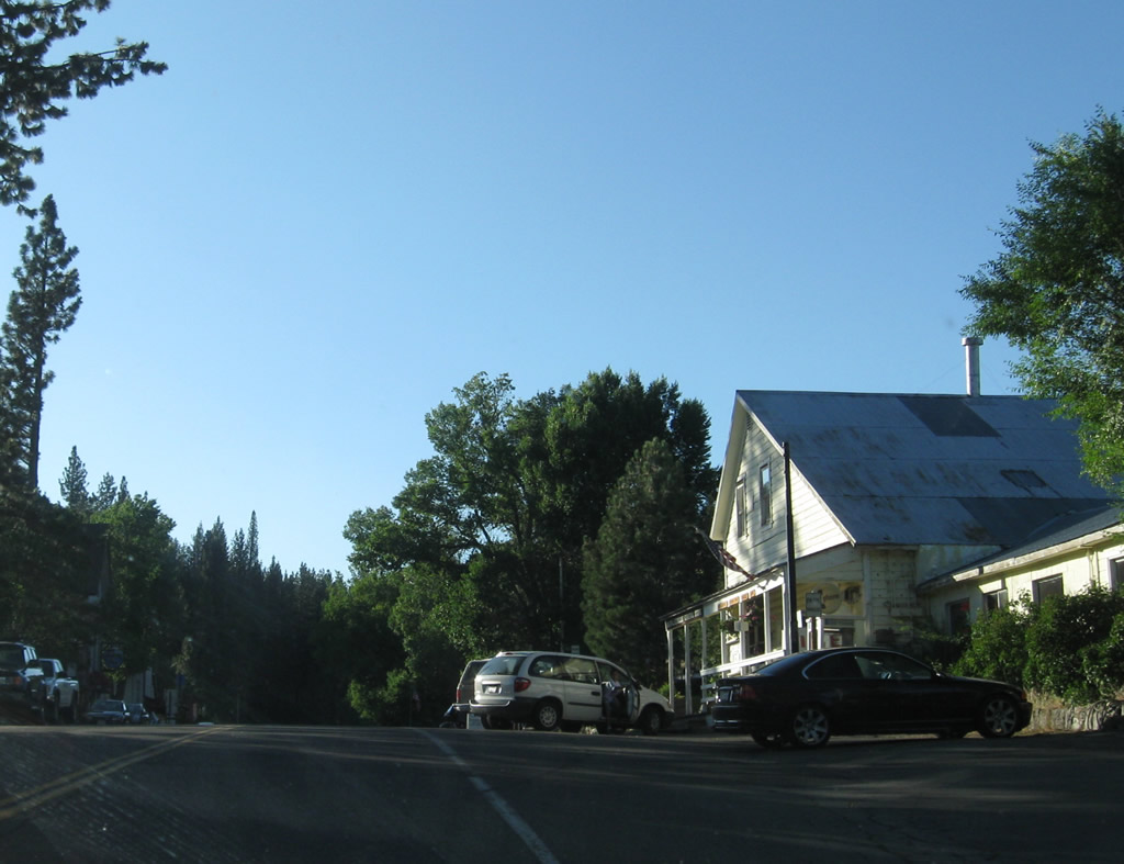
Markleeville is a fairly old community, having been founded by Jacob Marklee when he constructed a toll bridge over the Markleeville Creek during the during a silver mining boom in 1861. Downtown is fairly small, with most services available here. Full services are available at Lake Tahoe and in Nevada's Carson Valley. Photo taken 07/18/09. |
|
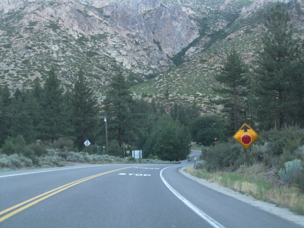
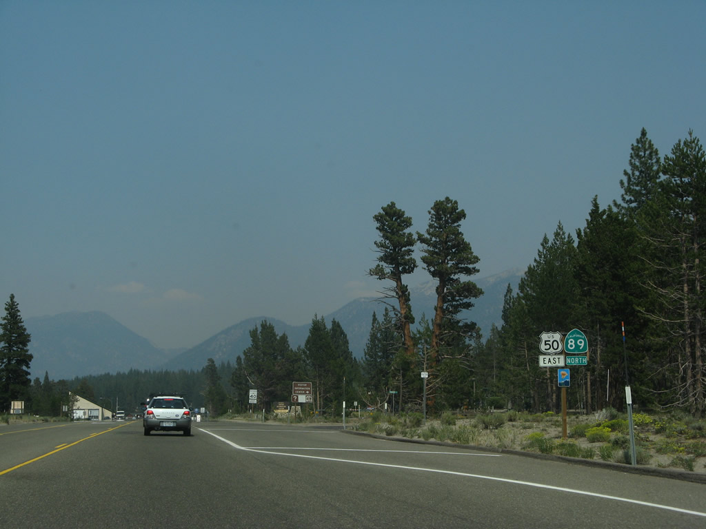
Northbound California 89 meets Alpine County E-1 (Hot Springs Road) west to Grover Hot Springs State Park. The park is open for soaking for a nominal fee. County Route E-1 has only one remaining sign, and it's located on southbound California 4-89. Photo taken 07/18/09. |
|
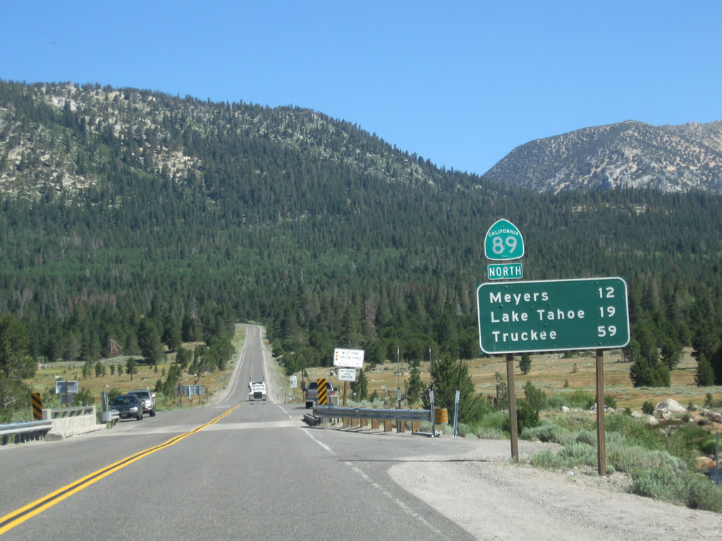
Leaving Markleeville, this mileage sign provides the distance to Woodfords (six miles), Minden (22 miles via California 88 northwest), and Lake Tahoe (32 miles via California 89 north). Photo taken 07/18/09. |
|
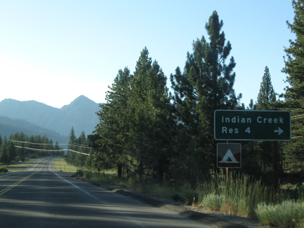
Northbound California 89 meets Airport Road east to Indian Creek Reservoir, Indian Creek Reservoir Campground, and Alpine County Airport. Photo taken 07/18/09. |
|
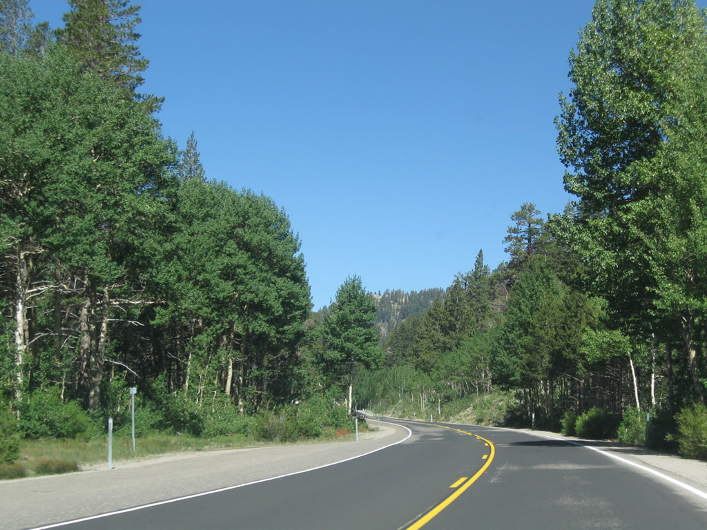
California 89 continues north toward Woodfords. Photo taken 07/18/09. |
|
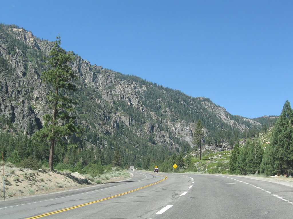
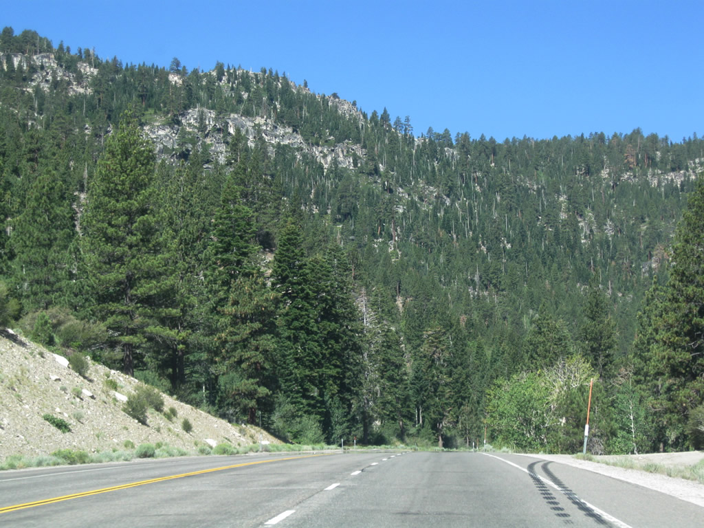
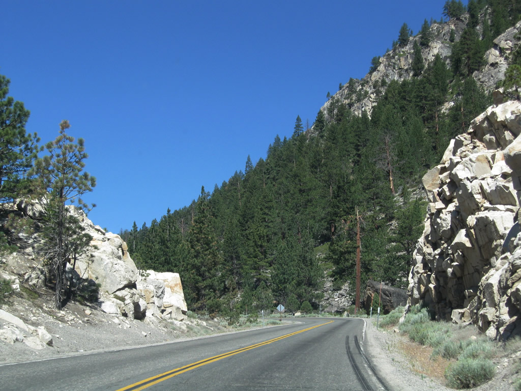
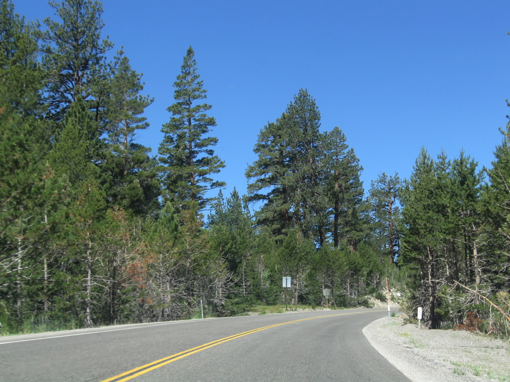
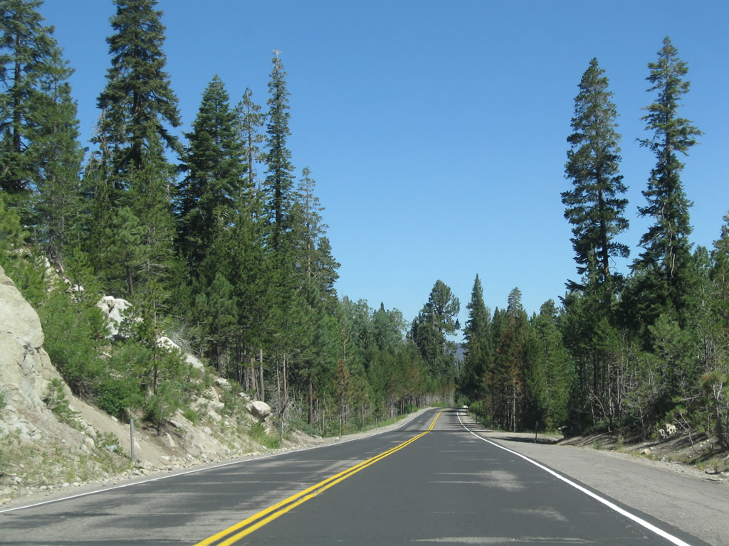
The late-day summer sunshine brought shadows to the highway. Between Markleeville and Woodfords, California 89 leaves the valley of the East Fork of the Carson River, crosses over some rugged terrain, and then connects to the West Fork of the Carson River valley. Photo taken 07/18/09. |
|
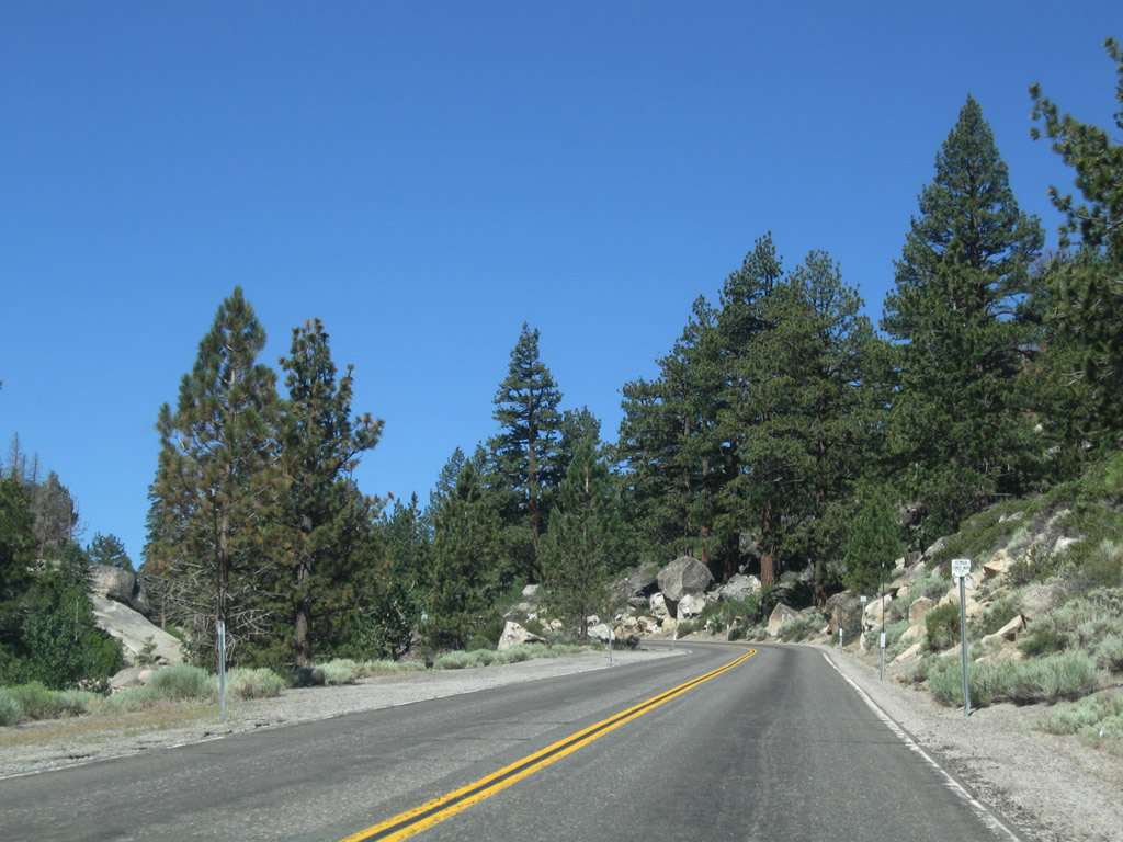
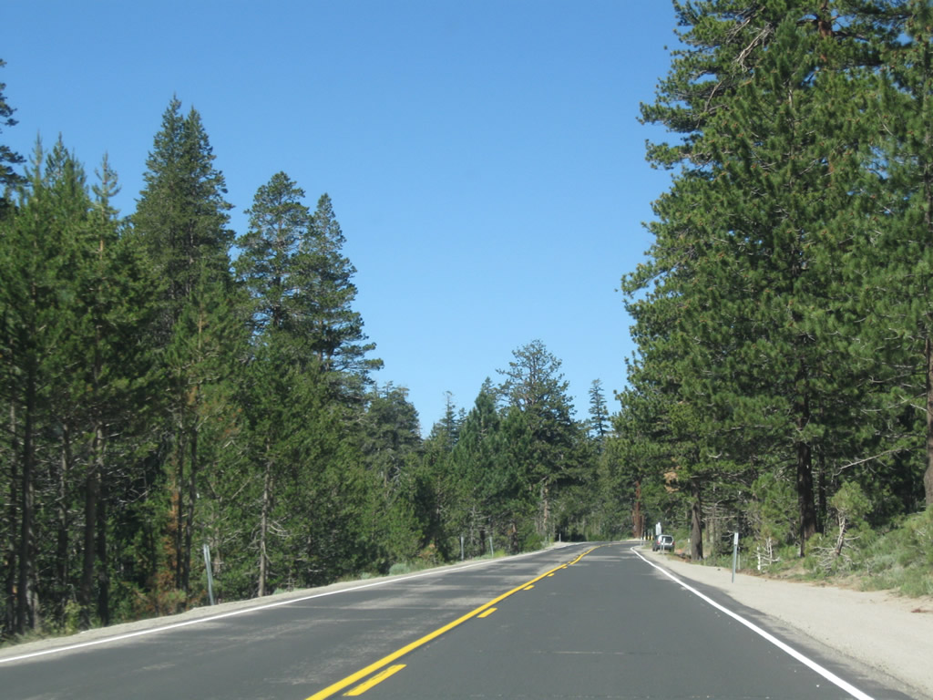
Northbound California 89 approaches Diamond Valley Road. Photo taken 07/18/09. |
|
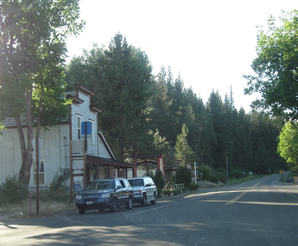
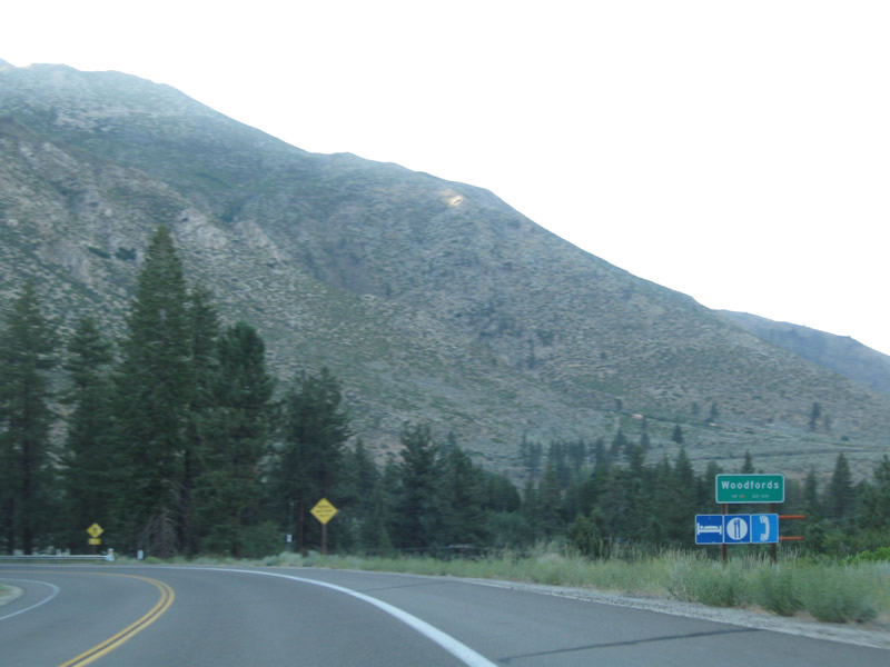
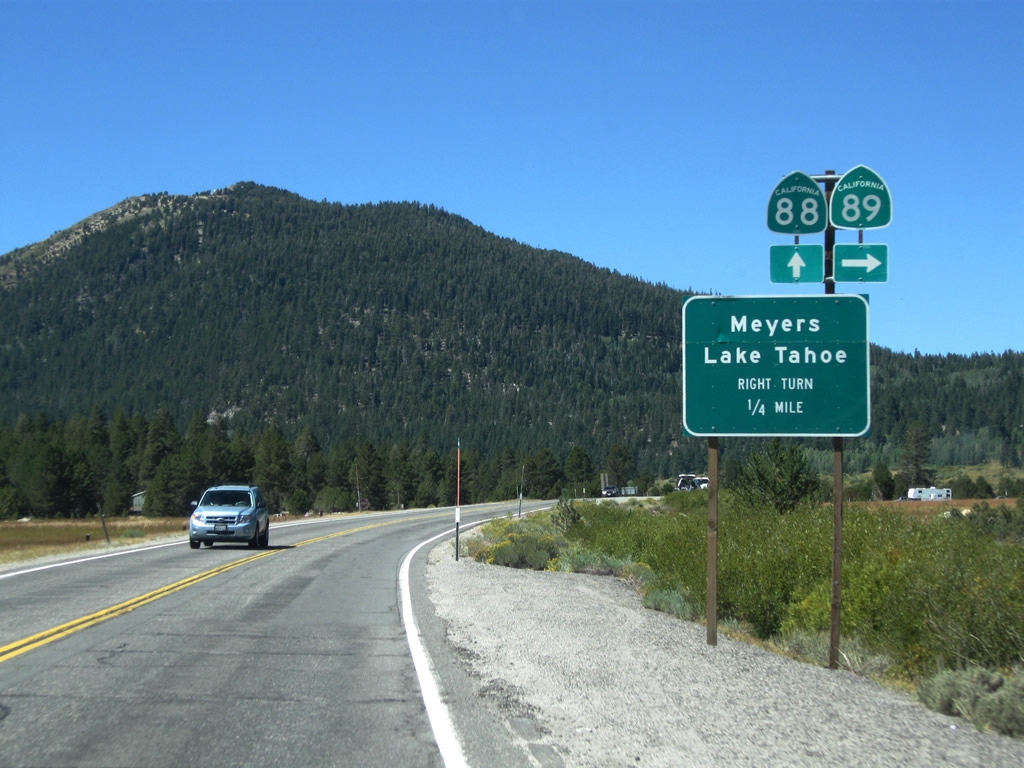
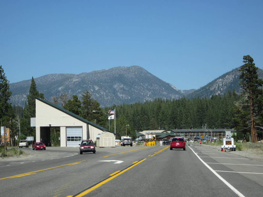
California 89 approaches Woodfords, where it meets California 88. Food and gas are available here at Sierra Pines Photo taken 07/18/09. |
|
Northbound California 89 approaches California 88. At the stop sign ahead, turn left to follow California 88 west and California 89 north to Jackson and Lake Tahoe, respectively. Turn right ahead to follow California 88 to Nevada 88 to Minden and Gardnerville. Photo taken 07/18/09. |
|
California 88 is a major east-west highway that extends from Stockton to Minden via Carson Pass. It is a year-round highway, kept open except during the worst winter storms. Photo taken 07/18/09. |
|
Northbound California 89 meets California 88 at this stop sign (after crossing over the 1960 West Fork of the Carson River bridge). Turn left for Stockton, Jackson, and Lake Tahoe. Turn right for Minden, Gardnerville, and all Carson Valley, Nevada communities. (Signage for California 4 west begins at this intersection. Some maps -- such as Compass Maps from the 1980s -- have shown California 4 turning right here to end at the Nevada state line, but no such signage was in place in 2009). Photo taken 07/18/09. |
| California 88 west & 89 north |
|
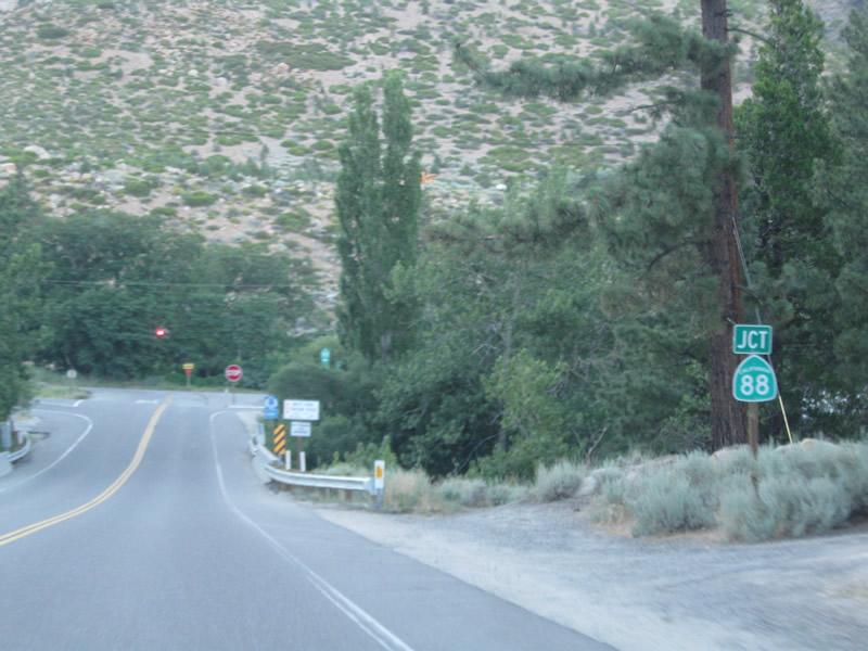
This reassurance shield assembly for California 88 west and California 89 north is posted after the intersection with California 4-89 in Woodfords. Photo taken 07/20/09. |
|
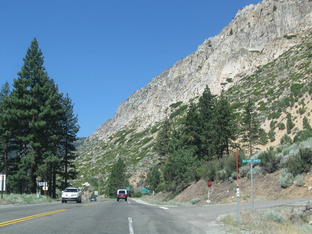
Westbound California 88 and northbound California 89 approaches the other end of Old Pony Express Road; we are now leaving Woodfords and will follow the West Fork of the Carson River through the Toiyabe National Forest. The sheer cliffs of Cary Peak dominate the view looking up. Photo taken 07/20/09. |
|
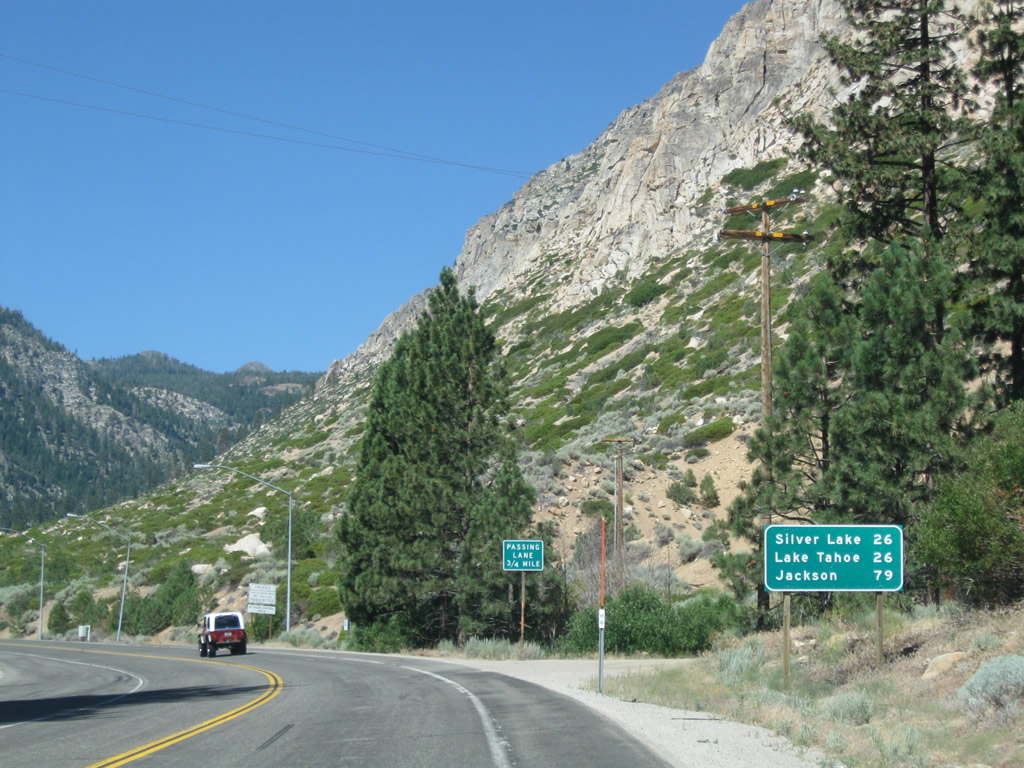
This mileage sign along California 88 west and California 89 north provides the distance to Silver Lake (26 miles via California 88 west), Lake Tahoe (26 miles via California 89 north), and Jackson (79 miles via California 88 west). Photo taken 07/20/09. |
|
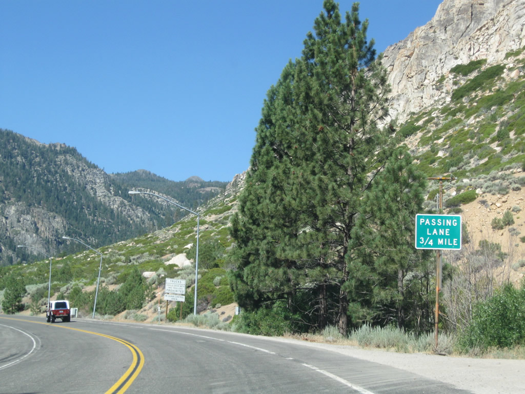
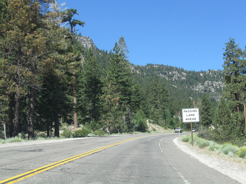
Another reminder of the upcoming passing lane is posted shortly after the mileage sign. Photo taken 07/20/09. |
|
A chain up area is provided on the shoulder of the state route. Photo taken 07/20/09. |
|
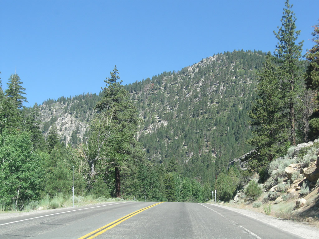
Tall trees and granite cliffs dominate the view along the West Carson River in Toiyabe National Forest. Photo taken 07/20/09. |
|
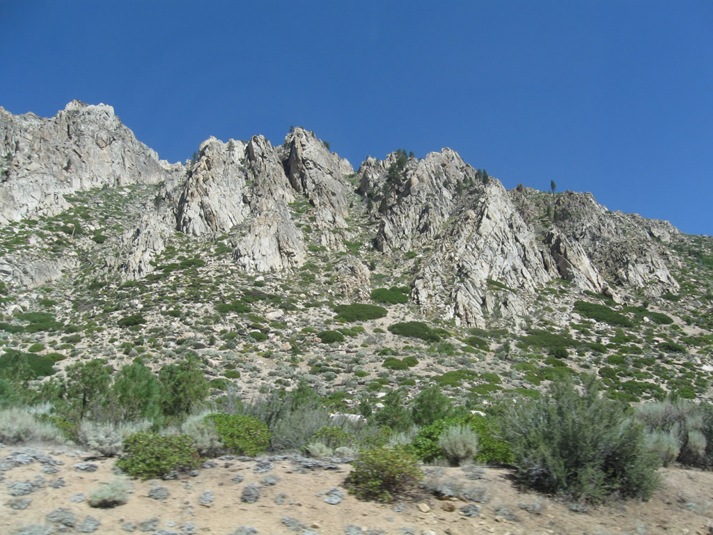
Looking up are more granite cliffs leading down from Cary Peak. Photo taken 07/20/09. |
|
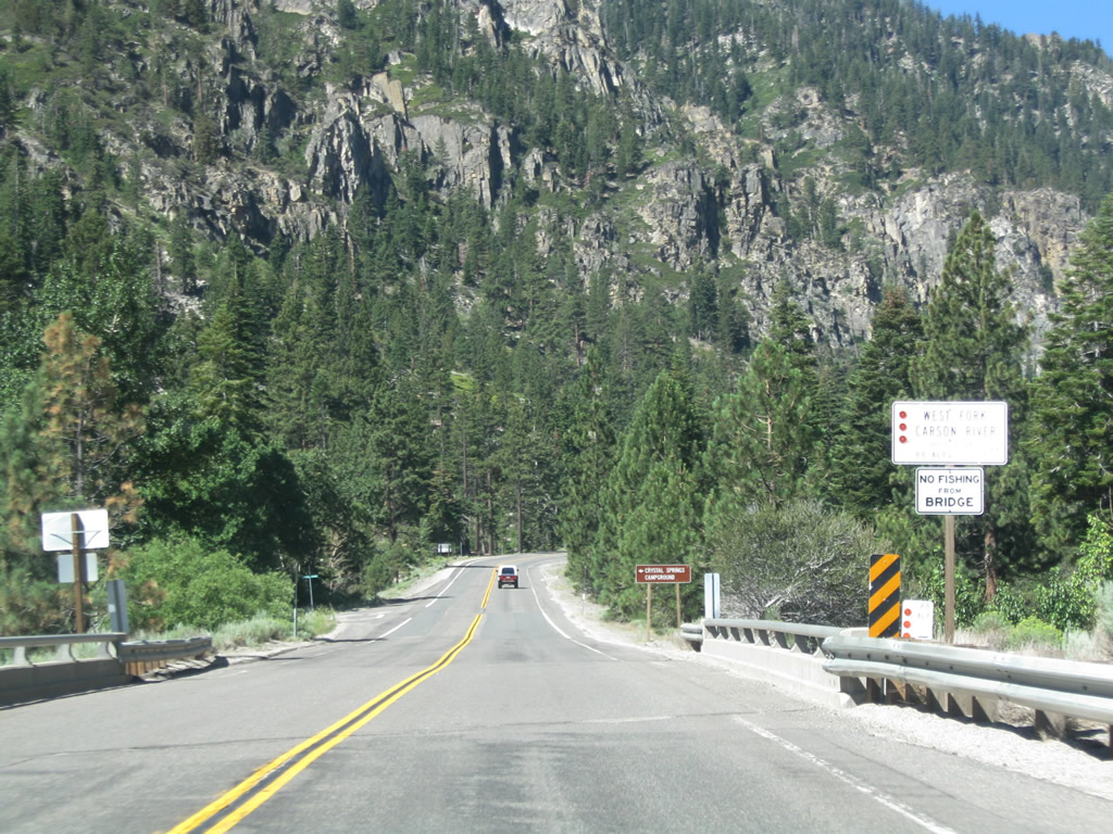
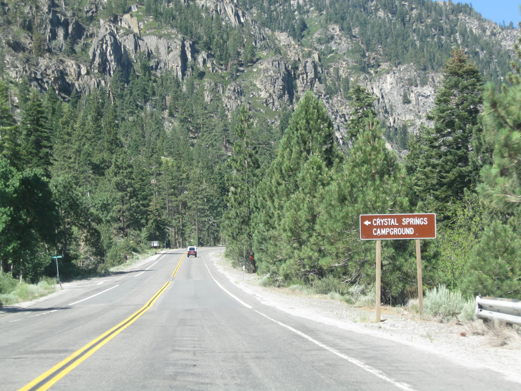
The next left turn from California 88-89 west is Crystal Springs Road. Continue straight ahead to the Crystal Springs campground. Photo taken 07/20/09. |
|
A passing lane begins after the Crystal Springs Road intersection. Photo taken 07/20/09. |
|
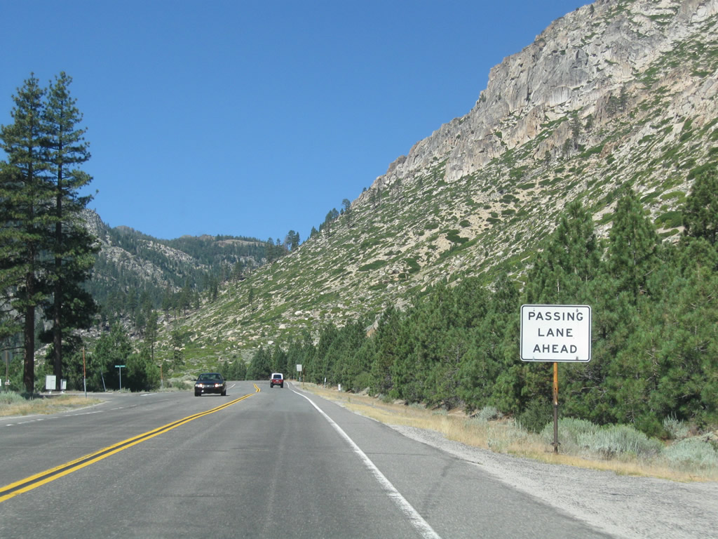
However, the passing lane is short and ends quickly. Photo taken 07/20/09. |
|
The majesty of the Sierra Nevada continues to unfold as California 88 west and California 89 north prepare to cross over the West Fork of the Carson River. Photo taken 07/20/09. |
|
California 88 west and California 89 north cross over the West Fork Carson River. Photo taken 07/20/09. |
|
The next left from California 88 west and California 89 north leads to the Crystal Springs national forest campground. Photo taken 07/20/09. |
|
Another passing lane is found along California 88 west and California 89 north. Photo taken 07/20/09. |
|
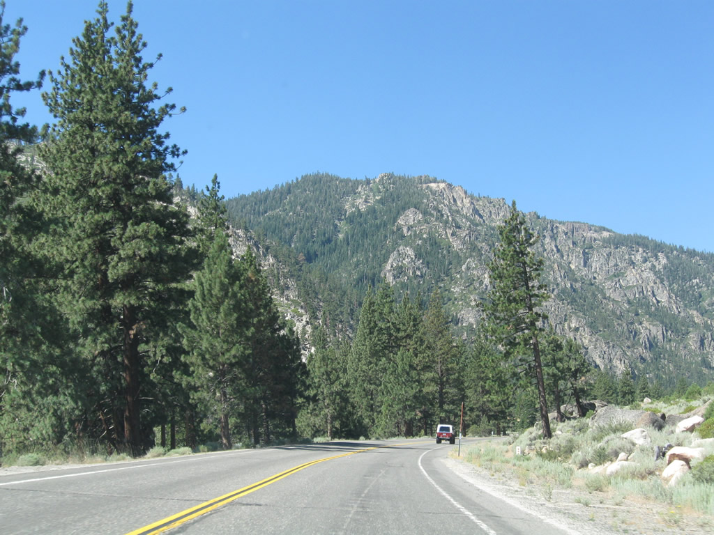
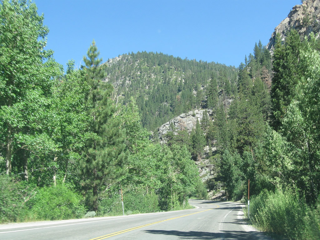
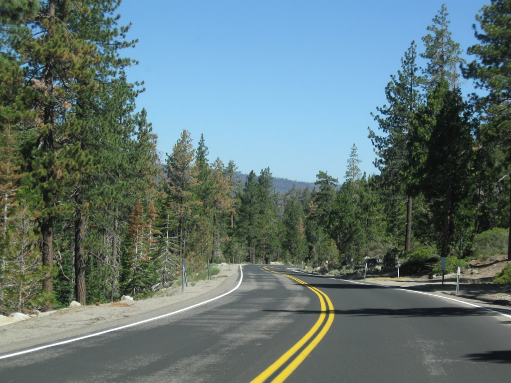
No traffic is to be found on this summer's morning in this beautiful canyon. Photo taken 07/20/09. |
|
Rows of evergreen trees (firs and pines) line the ridges of the Sierra Nevada. Photo taken 07/20/09. |
|
|
|
Aspens, which offer verdant greens in summer and startling yellows in fall, line California 88-89 advance west. Within this stretch, the two routes again cross over the West Fork Carson River. Photos taken 07/20/09. |
|
|
|
Journeying through the canyon, California 88-89 offer stunning views of the two sets of mountains carved by the West Fork Carson River. Campgrounds along this stretch include Snowshoe Springs and Kit Carson. Photos taken 07/20/09. |
|
|
|
|
Westbound California 88 and northbound California 89 cross over the West Fork of the Carson River again, this time with old bridge railing to boot. Photo taken 07/20/09. |
|
The next left ahead is the turnoff to Sorensen's Resort, which features close access to Lake Tahoe via California 89 north as well as hiking and fishing. Photo taken 07/20/09. |
|
The routes divide shortly thereafter. Continue straight to follow California 88 west to Carson Pass, Silver Lake, and Jackson. Turn right ahead to follow California 89 over Luther Pass to Meyers and Lake Tahoe. Photo taken 07/20/09. |
|
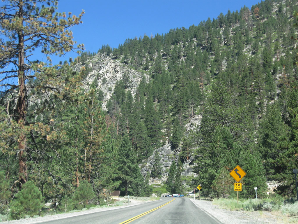
A second guide sign includes more destinations as well as the left turn to Burnside Lakes Road. Photo taken 07/20/09. |
|
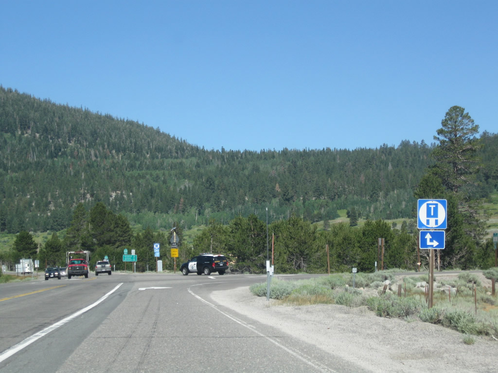
Both California 88 west and California 89 north are truck routes. In the distance is a mileage sign for California 88, which is also signed as U.S. 50 Alternate (see the white blur next to the green blur where the shields are above the mileage guide sign?). This designation, which is sporadically signed, follows California 89 from Meyers to this intersection, then turns west on California 88 west to National Forest Service Road 5/Mormon Emigrant Trail, rejoining U.S. 50 at Pollock Pines at Exit 60 (County Route E-16/Sly Park Road). Photo taken 07/20/09. |
|
This view looks west along U.S. 50 Alternate and California 88 west toward Carson Pass. Photo taken 07/20/09. |
| California 89 north |
|
This mileage sign for California 89 north is posted after the split from California 88/Carson Pass Road. After ascending Luther Pass, California 89 will meet U.S. 50 at Meyers, then pass through western South Lake Tahoe before a scenic drive along the western shore of Lake Tahoe. Truckee, located in Nevada County to the north, sits at the intersection of Interstate 80, U.S. 40, and California 89. Photo taken 07/20/09. |
|
California 89 crosses the West Fork of the Carson River on this 1960 bridge. Photo taken 07/20/09. |
|
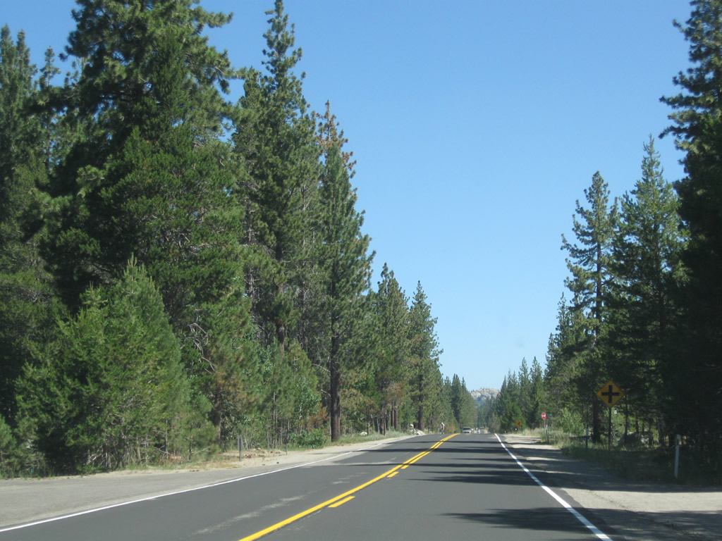
Unlike some of the other routes into the Lake Tahoe Basin, California 89 is a relatively straight drive over Luther Pass into the Tahoe Basin. Photo taken 07/20/09. |
|
|
|
The state route turns west toward Luther Pass and continues to gain elevation. Reaching Luther Pass (el. 7,740 feet), California 89 leaves Alpine County and enters El Dorado County. Photos taken 07/20/09. |
|
|
|
|
|
|
|
Now in the Lake Tahoe Basin, northbound California 89 descends from Luther Pass. California 89 sees a steep, six-percent grade over the next six miles. During the winter, California 89 over Luther Pass is closed due to copious snowfall. Photos taken 07/20/09. |
|
|
|
|
|
|
|
|
|
|
|
|
Turning north again, California 89 parallels the Upper Truckee River from near the Tahoe Rim Trail to its junction with U.S. 50 in Meyers. The U.S. 50 corridor, which drops into the Tahoe Basin from Echo Pass, comes into view high above California 89 (you can see the bridges, fills, and sidehill viaducts on a ridge descending the mountain). Photos taken 07/20/09. |
|
|
|
|
|
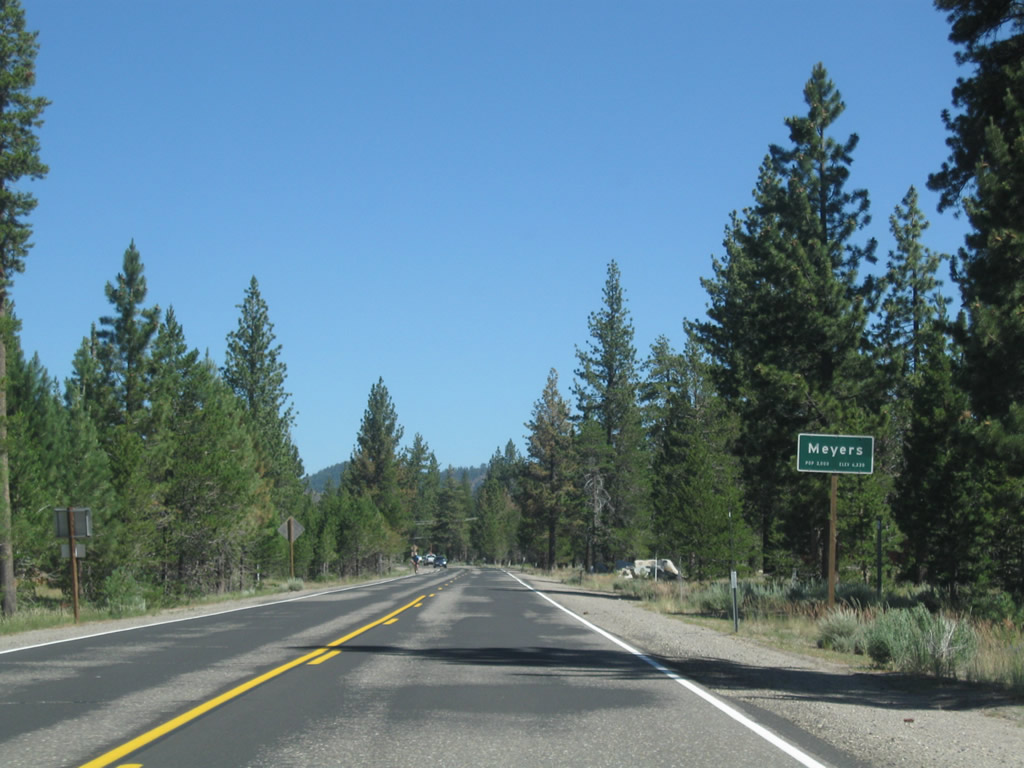
At the bottom of the hill, California 89 enters the unincorporated community of Meyers. Photo taken 07/20/09. |
|
Continuing north, a series of cross-roads link California 89 to local and residential access. Photo taken 07/20/09. |
|
Northbound California 89 approaches U.S. 50 in Meyers. Photo taken 07/20/09. |
|
U.S. 50 is a major highway across northern California. Originating in West Sacramento at the Interstate 80 and Business Loop I-80 interchange, U.S. 50 travels east into the Sierra Nevada, passing along the south side of Lake Tahoe before entering the Silver State of Nevada. Photo taken 07/20/09. |
|
As California 89 nears the junction with U.S. 50, a mileage sign provides the distance west to Placerville (52 miles) and east to South Lake Tahoe (two miles). Photo taken 07/20/09. |
|
Turn right to follow U.S. 50 east and California 89 north to South Lake Tahoe, Emerald Bay, Truckee, and points east on U.S. 50. Photo taken 07/20/09. |
|
Trailblazers for U.S. 50 and California 89 north are posted next to the stop sign. Photo taken 07/20/09. |
| U.S. 50 east & California 89 north |
|
Shortly thereafter is a reassurance shield assembly for U.S. 50 east and California 89 north along with a state scenic route marker. Photo taken 07/08/07. |
|
The next right is the aforementioned tourist information center. Photo taken 07/08/07. |
|
The California Agricultural Inspection Station stops all westbound traffic, while eastbound traffic continues toward South Lake Tahoe and Emerald Bay. Photo taken 07/20/09. |
|
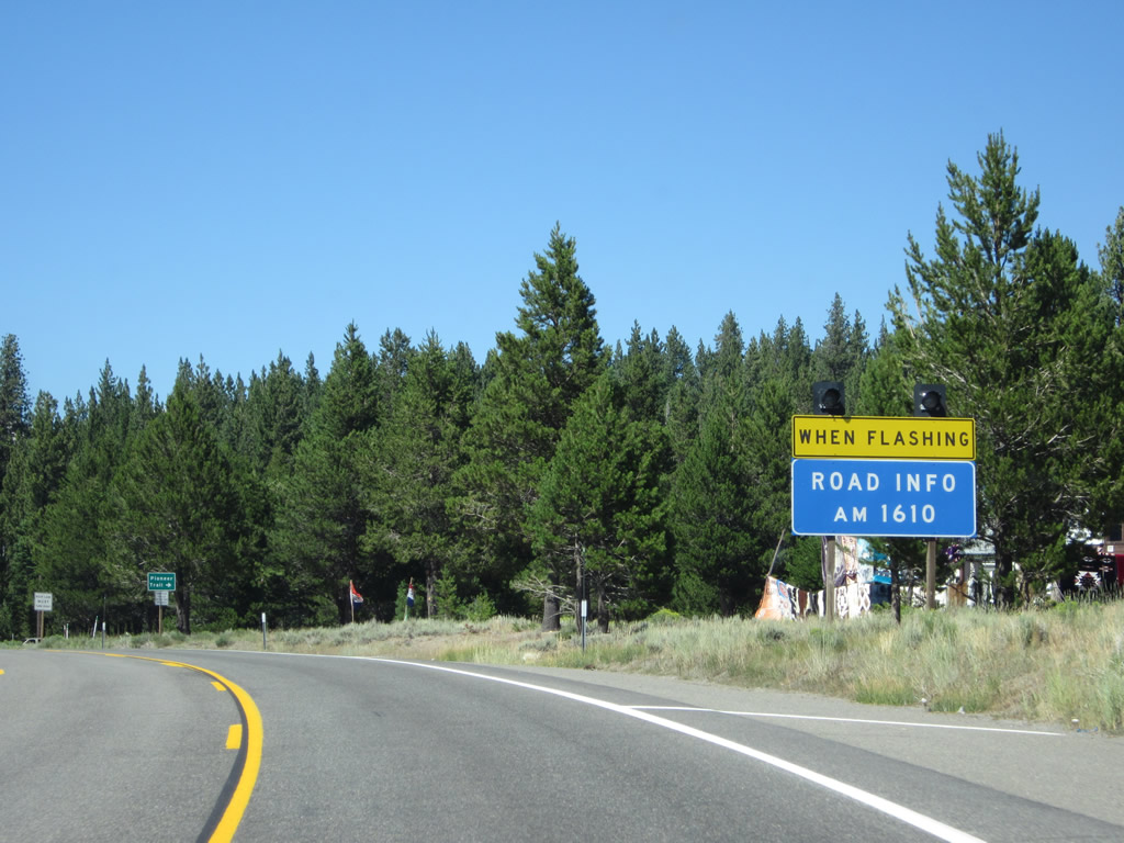
A flashing warning sign for highway conditions (associated with heavy traffic or bad weather) is posted just prior to the Pioneer Trail intersection. Photo taken 07/20/09. |
|
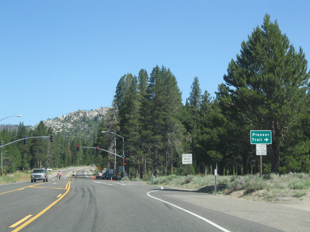
The next signalized intersection is with Pioneer Trail, which offers an alternative to U.S. 50 between Meyers and downtown South Lake Tahoe. By staying close to the foot of Trimmer Peak and Monument Peak, Pioneer Trail avoids the lakefront and allows a second route to the Stateline area. Photo taken 07/20/09. |
|
Eastbound U.S. 50 and California 89 north meet Pioneer Trail. Photo taken 07/20/09. |
|
Another U.S. 50 east and California 89 north reassurance shield assembly is posted after Pioneer Trail. Photo taken 07/08/07. |
|
Eastbound U.S. 50 and California 89 north approach Elks Club Drive. Photo taken 07/20/09. |
|
Prior to meeting Sawill Road, eastbound U.S. 50 and northbound California 89 cross the Upper Truckee River. This is the second of three times U.S. 50 crosses the Upper Truckee River; this bridge was built in 1995. Photo taken 07/20/09. |
|
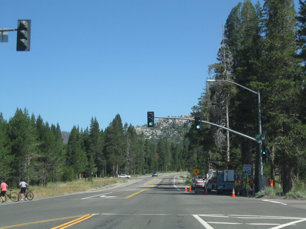
The Lake Tahoe Airport is located off U.S. 50 and California 89. Turn right on Airport Road to the main terminal; the runway parallels U.S. 50. After passing by the airport, U.S. 50 and California 89 leave Meyers and enter the city of South Lake Tahoe. Photo taken 07/20/09. |
Page Updated January 17, 2010.