

California 89 South - Meyers to Markleeville
| California 88 east & 89 southt | |
|---|---|
 |
SR 88 east & 89 south split at this intersection in Woodfords. SR 89 heads south to SR 4 and Markleville, while SR 88 continues east toward Minden and Gardnerville in Nevada. Photo taken 07/25/09. |
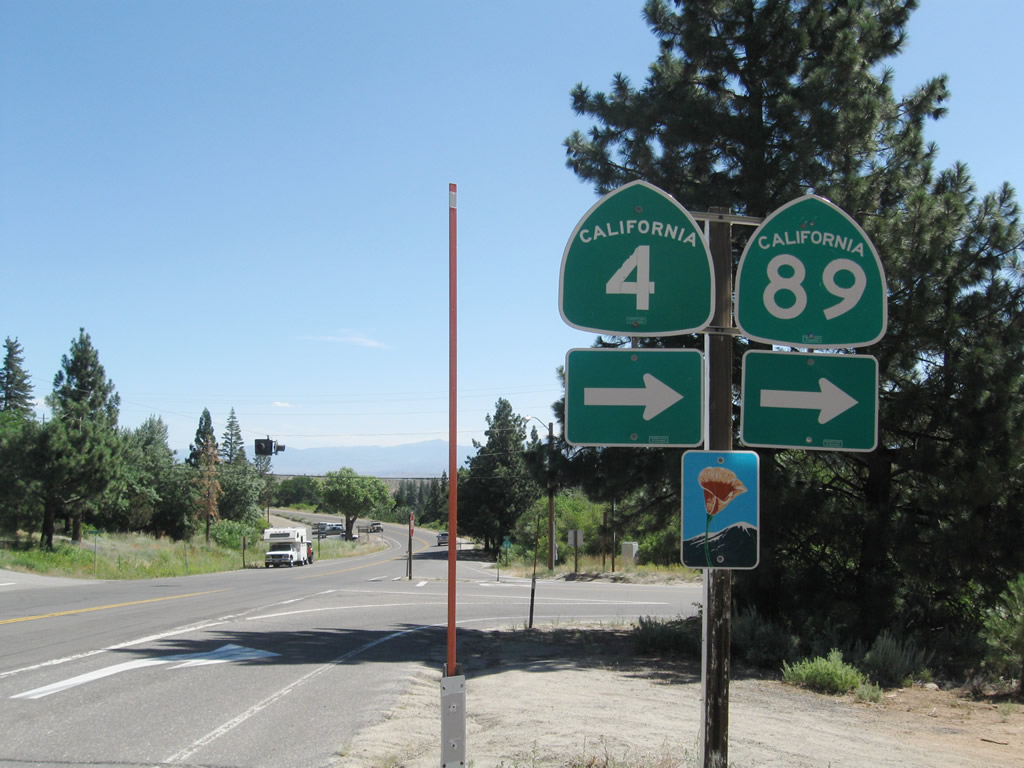
| California 4 west & 89 south | |
 |
Leaving the intersection with California 88 in Woodfords, California 89 south and California 4 west overlap south toward Markleeville, the seat of Alpine County. Ahead is a 1960 bridge over the West Fork of the Carson River. Photo taken 07/25/09. |
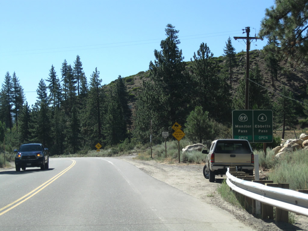 |
This advisory sign indicates the status of the mountain passes along California 89 south and California 4 west after they leave Markleeville. California 89 travels southeast toward U.S. 395 near Topaz Lake via Monitor Pass. California 4 travels west over Ebbetts Pass toward Angels Camp. Both passes close in winter; the best route from Woodfords to the Central Valley is via California 88 in winter and via Nevada 88 and Nevada 756 to U.S. 395 south. Photo taken 07/25/09. |
 |
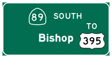
This mileage sign provides the distance to Markleeville (six miles), Angels Camp (89 miles), and Stockton (148 miles) via California 4 west. Only Markleeville is served by California 89; when the routes divide, California 89 travels east to merge with U.S. 395 south to Bridgeport, Lee Vining, Mammoth Lakes, Bishop, and Los Angeles. Photo taken 07/25/09. |
 |
California 89 south and California 4 west approach Diamond Valley Road east to the Southern Washoe Indian Reservation. Photo taken 07/25/09. |
 |
In summer months, bicyclists are commonly found along California 89 south and California 4 west between Woodfords and Markleeville. Photo taken 07/25/09. |
 |
Southbound California 89 and westbound California 4 meet the turnoff to Sierra Pines, which includes a market and gas station. Photo taken 07/25/09. |
 |
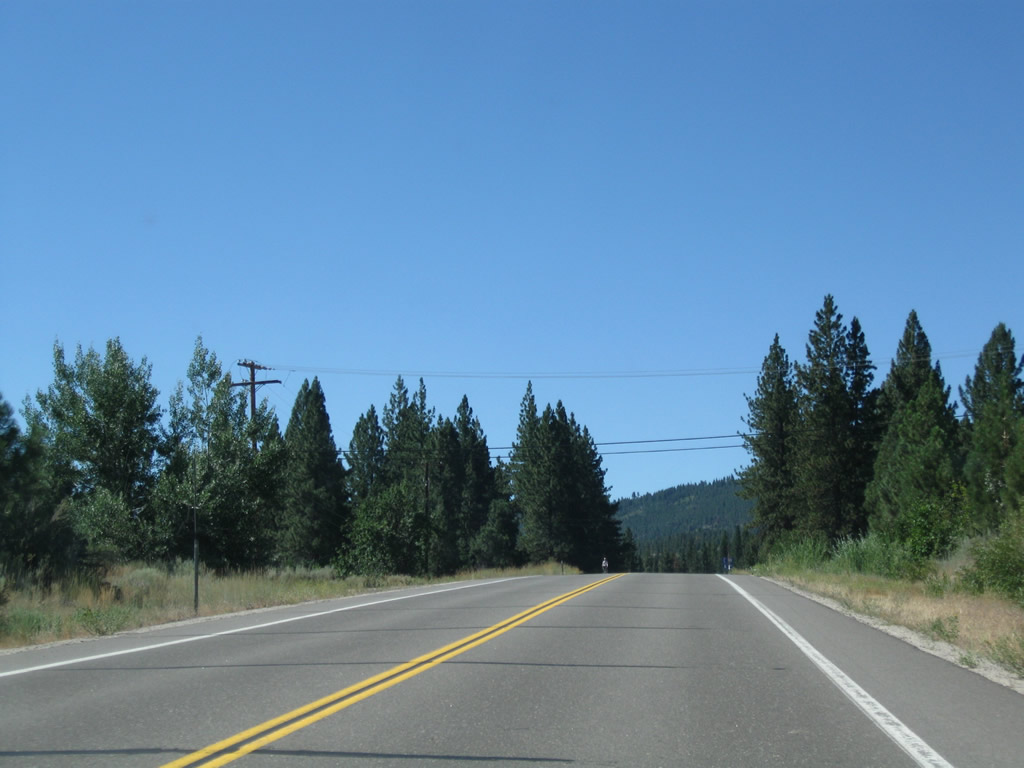
Between Woodfords and Markleeville, California 89 and California 4 leave the valley of the West Fork of the Carson River, cross over some rugged terrain, and then connect to the East Fork of the Carson River valley. Photo taken 07/25/09. |
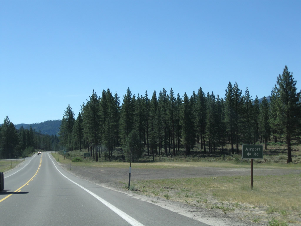 |
California 89 south and California 4 west approach Airport Road, which travels east to Indian Creek Reservoir and the Alpine County Airport. A campground is located at the reservoir. Photo taken 07/25/09. |
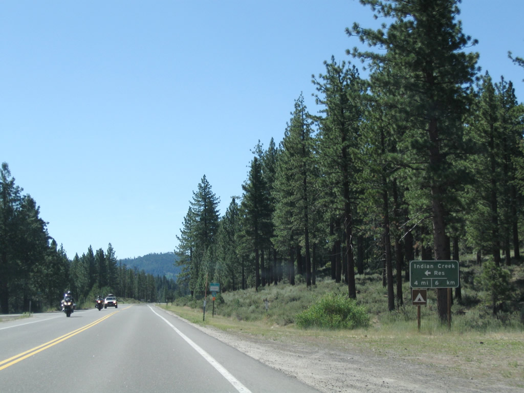 |
A mileage sign provides the distance to Indian Creek Reservoir (four miles). Photo taken 07/25/09. |
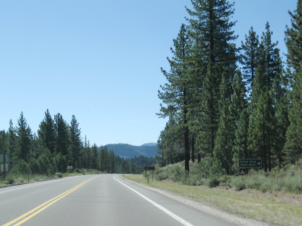 |
The next right turn connects to Turtle Rock Park Road west to Turtle Rock County Park, which includes a campground. Photo taken 07/25/09. |
 |
 |
 |
 |
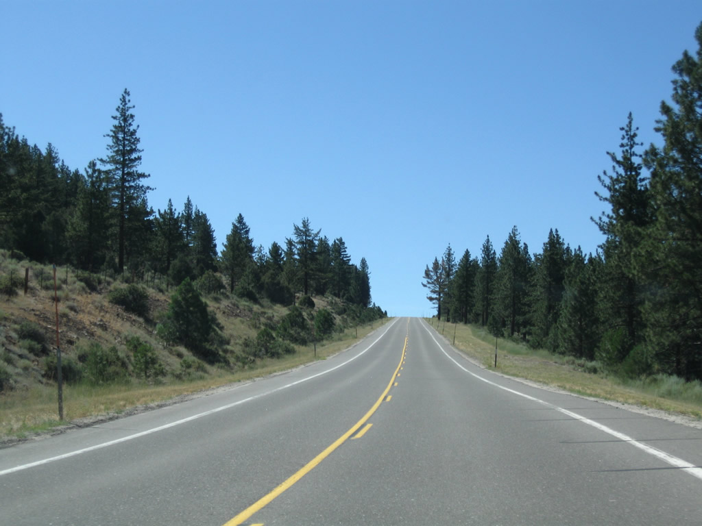
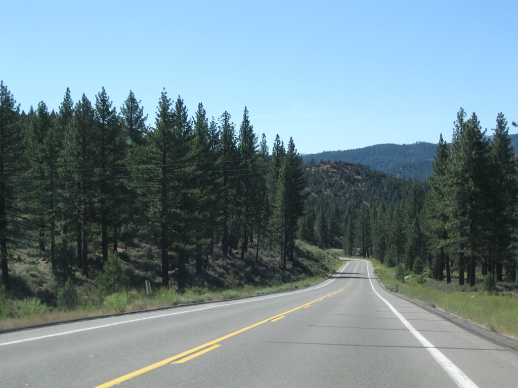
This suite of photos shows California 4 west and California 89 south as they proceed southeast toward Markleeville. A volcanic outcropping is located on the west side of the highway. Photos taken 07/25/09. |
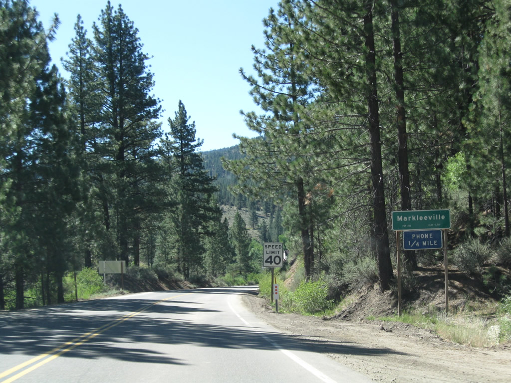 |
California 4 and California 89 enter the unincorporated community of Markleeville, which also serves as the seat of tiny Alpine County. Markleeville had a population of 197 as of the 2000 Census and sits at an elevation of 5,531 feet. The county seat is a fairly old community, having been founded by Jacob Marklee when he constructed a toll bridge over the Markleeville Creek during the during a silver mining boom in 1861. Downtown is fairly small, with most services available here. Full services are also available at Lake Tahoe and in Nevada's Carson Valley. Photo taken 07/25/09. |
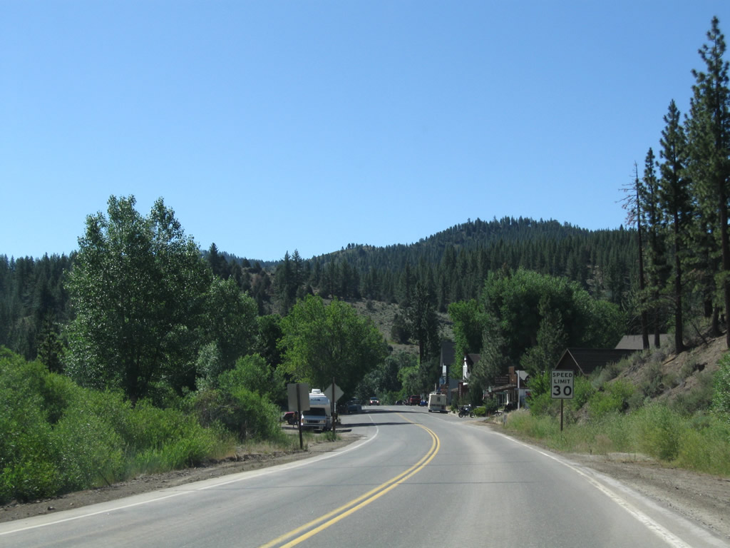 |
The speed limit drops to 30 miles per hour on California 4 and California 89 as we approach Markleeville. The state route passes directly through town. Photo taken 07/25/09. |
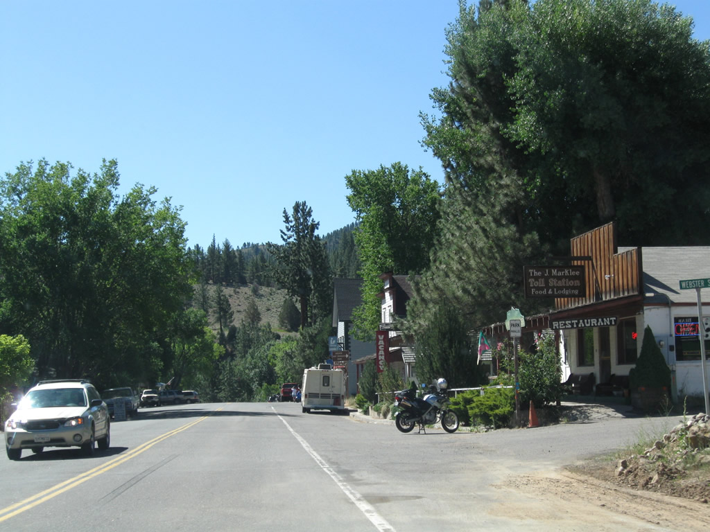 |
Keeping with an Old West and mining theme, Markleeville features food and lodging in buildings from the 19th century. Southbound California 4-89 meet Weber Street at this first intersection in Markleeville. Photo taken 07/25/09. |
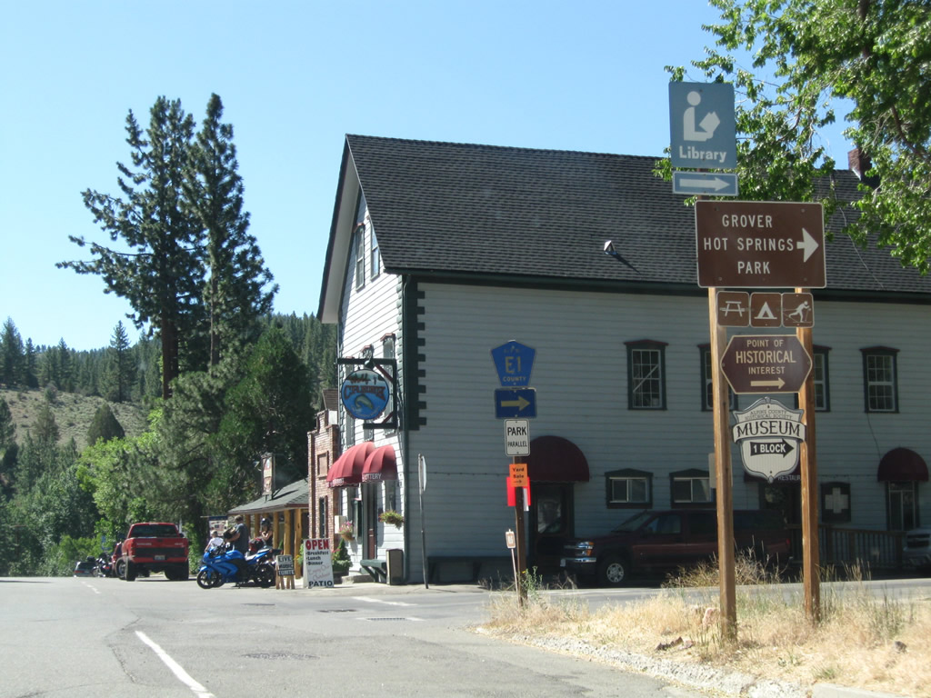 |
Soon thereafter, southbound California 4-89 meet Alpine County E-1 (Montgomery Street) west in downtown Markleeville. Use Montgomery Street west to CR E-1 (Hot Springs Road) and Grover Hot Springs State Park. The park offers a hot spring-fed pool, hiking, camping, and fishing. Many residences are located off of Montgomery Street to the west. Photo taken 07/25/09. |
 |
After the intersection with Alpine County E-1 (Montgomery Street), southbound California 4-89 continues through a few more blocks of Markleeville. Photo taken 07/25/09. |
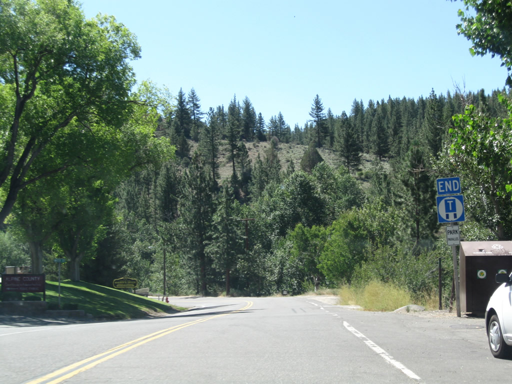 |
A left turn at Water Street leads to the Alpine County Courthouse. The truck route ends at this point. Photo taken 07/25/09. |
 |
After a U.S. Forest Service ranger station, southbound California 4-89 crosses Markleeville Creek on this 1929 concrete tee beam bridge. Photo taken 07/25/09. |

Page Updated October 8, 2009.
|
About Contact Glossary |
In The News Testimonials Interstate Guide |
Social Media:
 |
|
© 2000-23 AARoads.com | All Rights Reserved | Privacy Policy / Terms of Use
|
||