

California 91 West - Exits 29 to 15
| California 91 (Riverside Freeway) west | |
|---|---|
 |
While the next exit along westbound California 91 is Exit 29, East Street and Raymond Avenue, the next overhead sign in sequence provides the distance to Exit 28, Lemon Street, Anaheim Boulevard, and Harbor Boulevard. Photo taken 09/28/08. |
 |
The right lane becomes exit only for Exit 29, East Street and Raymond Avenue. Photo taken 09/28/08. |
 |
Westbound California 91 (Riverside Freeway) reaches Exit 29, East Street and Raymond Avenue. Photo taken 09/28/08. |
 |
This mileage sign along California 91 (Riverside Freeway) west provides the distance to the next two exits: Exit 28, Lemon Street, Anaheim Boulevard, and Harbor Boulevard and Exit 27, Euclid Avenue. Photo taken 09/28/08. |
 |
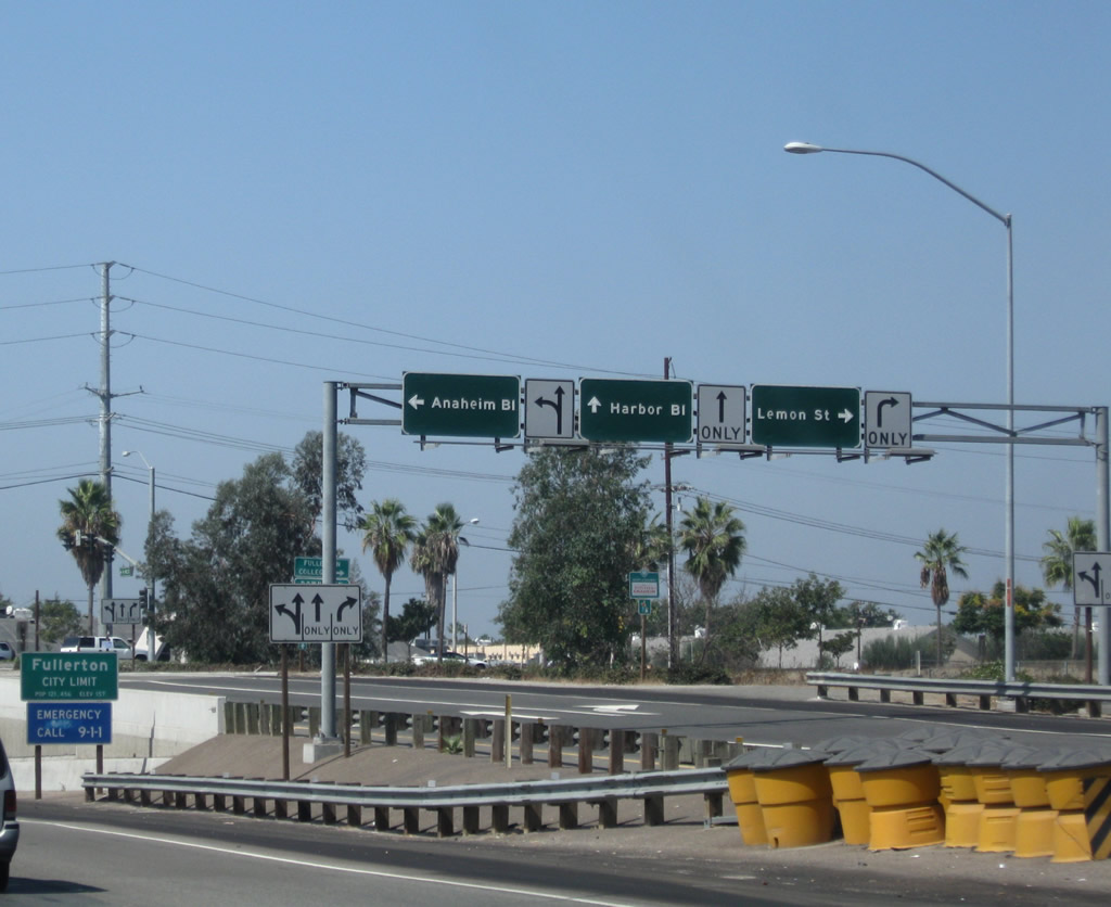
Exit 28 is a diamond interchange that provides access to Lemon Street north, Anaheim Boulevard south, and Harbor Boulevard north/south. At Exit 28, California 91 will become the boundary between the city of Anaheim to the south and the city of Fullerton to the north. It will remain the boundary until the Interstate 5 interchange (Exit 24). Photo taken 09/28/08. |
 |
Westbound California 91 (Riverside Freeway) reaches Exit 28, Lemon Street, Anaheim Boulevard, and Harbor Boulevard. Photo taken 09/28/08. |
 |
Looking at the off-ramp for Exit 28, the first intersection is with Lemon Street and Anaheim Boulevard. The second intersection will be Harbor Boulevard. Photo taken 09/28/08. |
 |
This mileage sign along California 91 (Riverside Freeway) west provides the distance to the next two exits: Exit 27, Euclid Avenue and Exit 26, Brookhurst Street. At this point, California 91 becomes the boundary between the cities of Anaheim and Fullerton, the "The Education Community". As of the 2000 census, Fullerton had a population of 126,003. Photo taken 09/28/08. |
 |
The retaining wall along California 91 (Riverside Freeway) west features a recurring theme of palm trees and mountains. Photo taken 09/28/08. |
 |
Looking at the frontage road for Exit 28, the second traffic signal connects to Harbor Boulevard north to Fullerton and south to Anaheim. Photo taken 09/28/08. |
 |
The succeeding exit from SR 91 west departs in one mile for Euclid Street. The exit number was retrofitted onto the older porcelain enamel sign. Photo taken 09/28/08. |
 |
After the on-ramp from Harbor Boulevard, a California 91 west reassurance shield is posted on the westbound Riverside Freeway. Photo taken 09/28/08. |
 |
This mileage sign provides the distance to the next three exits along California 91 (Riverside Freeway) west: Exit 27, Euclid Street; Exit 26, Brookhurst Street; and Exit 24, Interstate 5 (Santa Ana Freeway). Photo taken 09/28/08. |
 |
The right lane becomes exit only for Exit 27, Euclid Street. Photo taken 09/28/08. |
 |
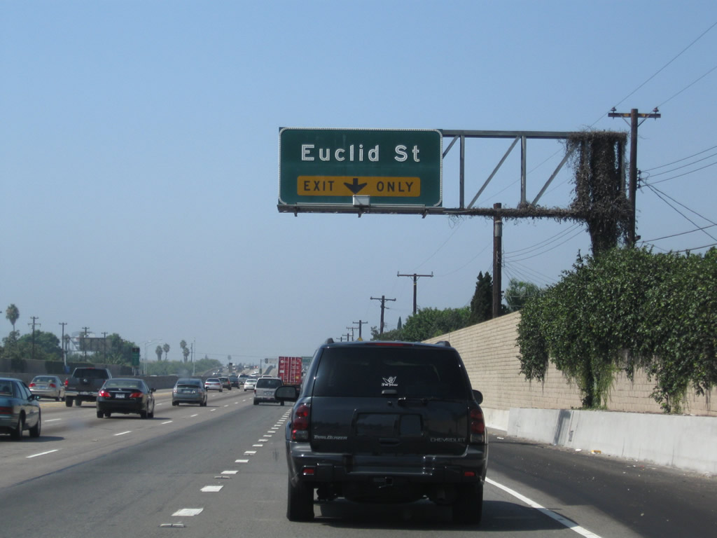
Westbound California 91 (Riverside Freeway) reaches Exit 27, Euclid Street. Photo taken 09/28/08. |
 |
At the base of the ramp from California 91 west to Exit 27, Euclid Street is this traffic signal and freeway entrance shield assembly. Photo taken 09/28/08. |
 |
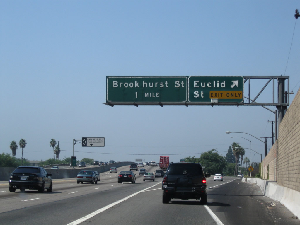
The next exit along California 91 (Riverside Freeway) west is Exit 26, Brookhurst Street. Photo taken 09/28/08. |
 |
The right lane of California 91 (Riverside Freeway) west becomes exit only for Exit 26, Brookhurst Street. Photo taken 09/28/08. |
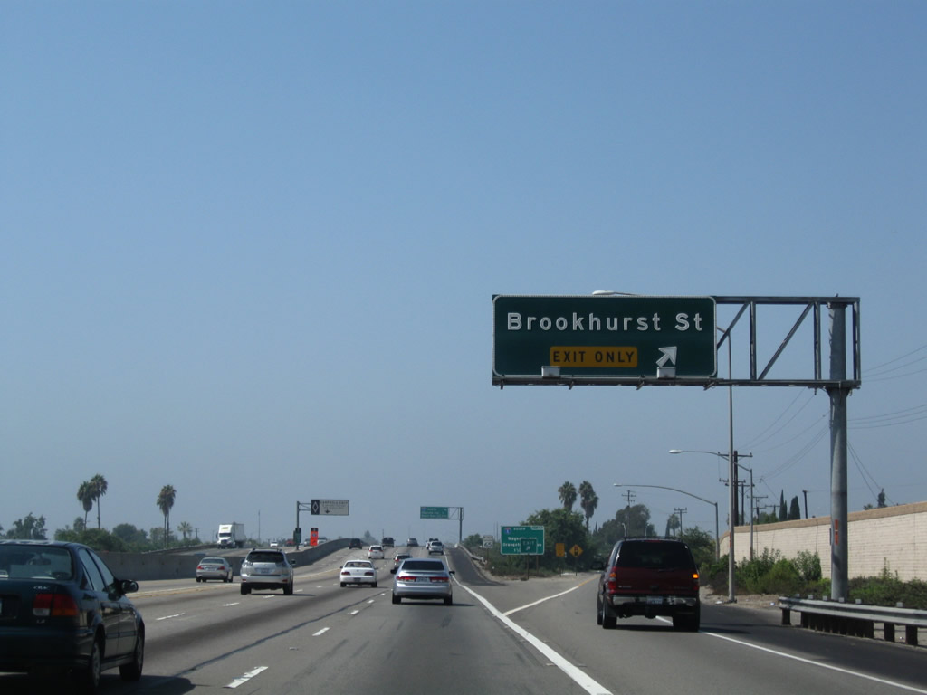 |
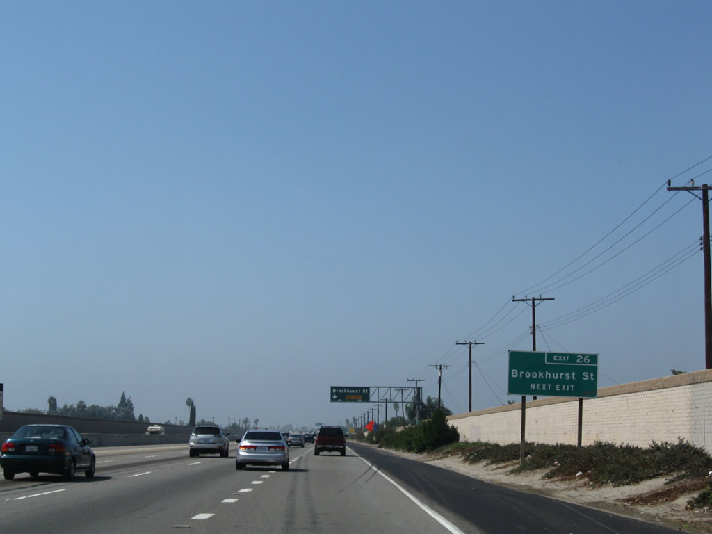
Westbound California 91 (Riverside Freeway) reaches Exit 26, Brookhurst Street. Photo taken 09/28/08. |
 |
The next two exits along California 91 (Riverside Freeway) west are Exit 24, Interstate 5 (Santa Ana Freeway) north to Los Angeles and Exit 23C, Magnolia Avenue and Orangethorpe Avenue to Interstate 5 (Santa Ana Freeway) south. Photo taken 09/28/08. |
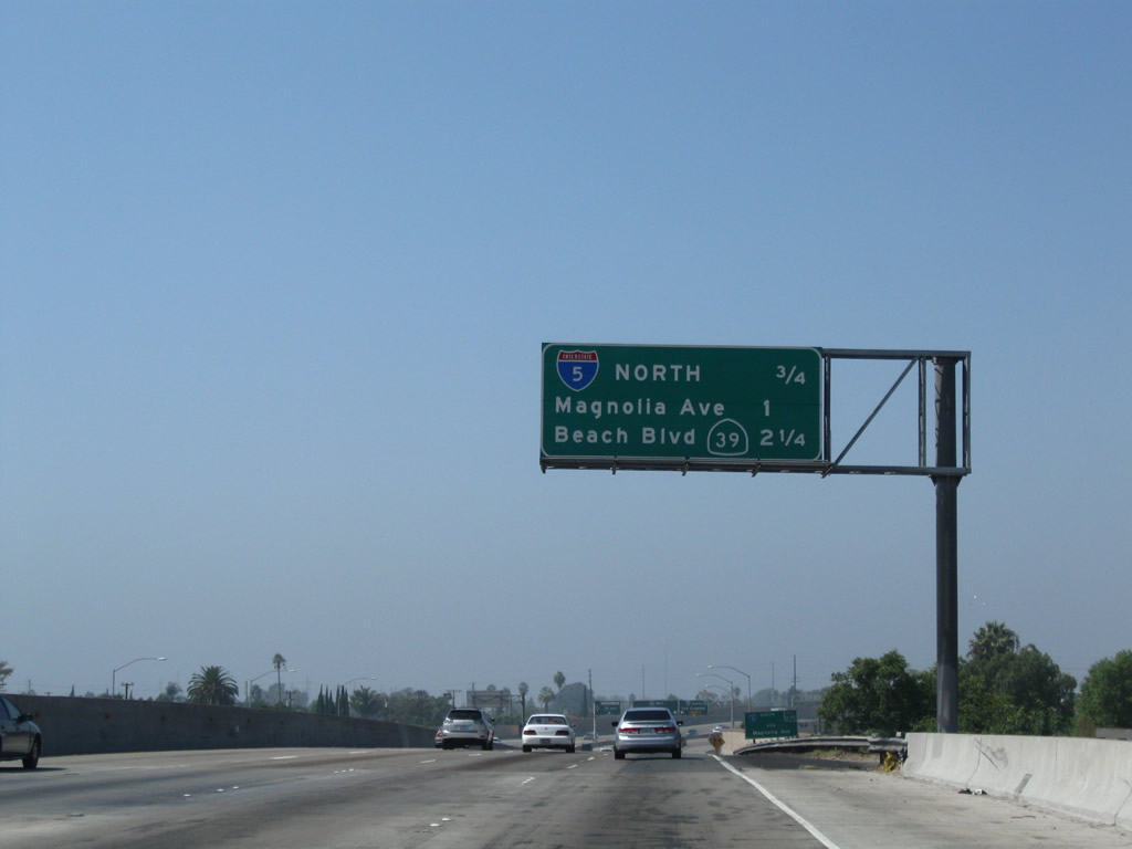 |
This mileage sign provides the distance to the next three exits along California 91 (Riverside Freeway) west: Exit 24, Interstate 5 (Santa Ana Freeway) north to Los Angeles; Exit 23C, Magnolia Avenue and Orangethorpe Avenue to Interstate 5 (Santa Ana Freeway) south; and Exit 23B, California 39 (Beach Boulevard) in Buena Park. Photo taken 09/28/08. |
 |
To Interstate 5 (Santa Ana Freeway) south, follow Magnolia Avenue south via Exit 23C. Orangethorpe Avenue, which is also served by Exit 23C, travels east-west through Fullerton and Buena Park on an alignment parallel to California 91. Photo taken 09/28/08. |
 |
The right two lanes connect from California 91 (Riverside Freeway) west to Exit 24, Interstate 5 (Santa Ana Freeway) north to Los Angeles. Photo taken 09/28/08. |
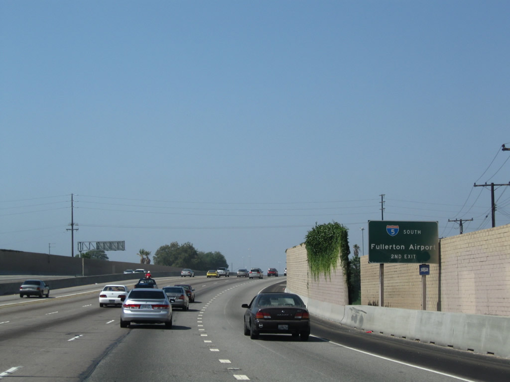 |
Use Exit 23 to Magnolia Avenue south to Interstate 5 and north to Fullerton Municipal Airport. This sign implies that Interstate 5 travels south to the airport, which is untrue. This sign is rather confusing for that reason. Photo taken 09/28/08. |
 |
Westbound California 91 (Riverside Freeway) reaches Exit 24, Interstate 5 (Santa Ana Freeway) north to Los Angeles. The next exit is Exit 23C, Magnolia Avenue and Orangethorpe Avenue to Interstate 5 (Santa Ana Freeway) south. Photo taken 09/28/08. |
 |
An Interstate 5 south trailblazer is posted prior to the off-ramp for Exit 23C, Magnolia Avenue and Orangethorpe Avenue. Photo taken 09/28/08. |
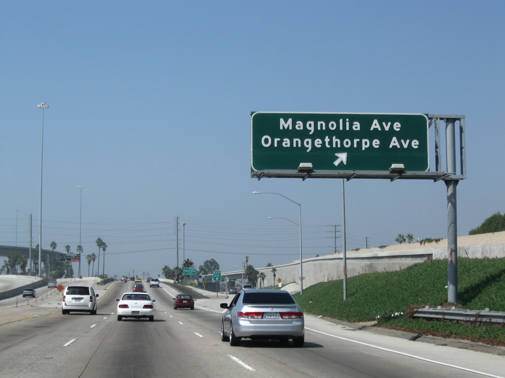 |
Westbound California 91 reaches Exit 23C, Magnolia Avenue and Orangethorpe Avenue to Interstate 5 south. Photo taken 09/28/08. |
| California 91 - Artesia Freeway west | |
|---|---|
 |
Advancing west from I-5, SR 91 west continues one mile to SR 39 (Beach Boulevard). Exit 23B serves Knotts Berry Farm, a theme park famous for its roller coasters in the city of Buena Park. Photo taken 09/28/08. |
 |
 |
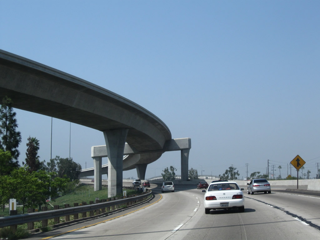
A flyover ramp carries traffic from Interstate 5 (Santa Ana Freeway) north to California 91 (Artesia Freeway) west. The Riverside Freeway designation ends at this massive interchange, and California 91 now follows the Artesia Freeway. Photo taken 09/28/08. |
 |
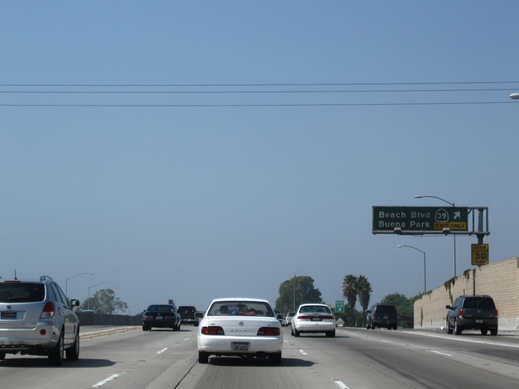
The next exit along California 91 (Artesia Freeway) west is Exit 23B, California 39 (Beach Boulevard). The freeway enters the city of Buena Park (incorporated in 1953). As of the 2000 Census, the city had a total population of 78,282 and consists of 10.6 square miles. Turn south on Beach Boulevard to the E-Zone district, which houses Knott's Berry Farm and other tourist attractions (including Knott's Soak City). Photo taken 09/28/08. |
 |
The right lane of California 91 becomes exit only for Exit 23B, California 39 (Beach Boulevard). Photo taken 09/28/08. |
 |
The next three exits along California 91 (Artesia Freeway) west are Exit 23B, California 39 (Beach Boulevard); Exit 23A, Knott Avenue; and Exit 22, Valley View Street and Orangethorpe Avenue. Photo taken 09/28/08. |
 |
Westbound California 91 (Artesia Freeway) reaches Exit 23B, California 39 (Beach Boulevard). Photo taken 09/28/08. |
 |
The next exit along California 91 (Artesia Freeway) west is Exit 23A, Knott Avenue (one-half mile). Photo taken 03/18/06. |
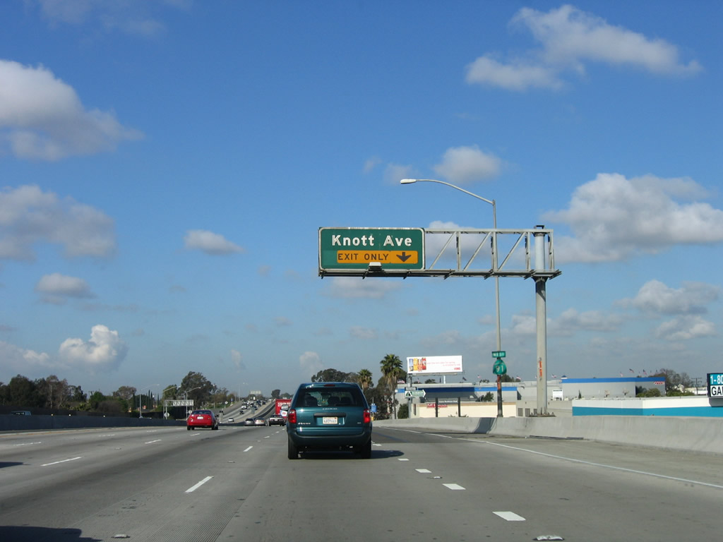 |
The right lane of California 91 (Artesia Freeway) west becomes exit only for Exit 23A, Knott Avenue. Photo taken 03/18/06. |
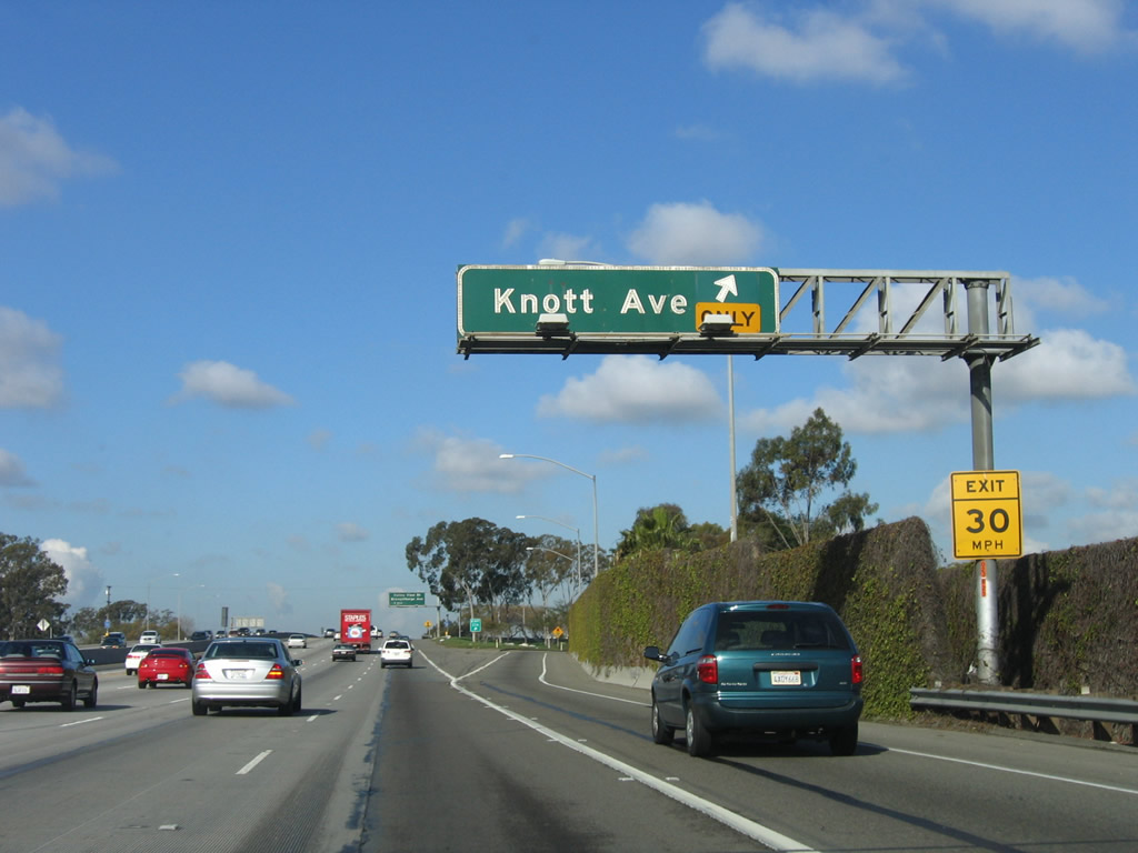 |
Westbound California 91 (Artesia Freeway) reaches Exit 23A, Knott Avenue. Photo taken 03/18/06. |
 |
The next exit along California 91 (Artesia Freeway) west is Exit 22, Valley View Street and Orangethorpe Avenue. Photo taken 03/18/06. |
 |
This California 91 west reassurance shield is posted after the on-ramp from Knott Avenue. Photo taken 03/18/06. |
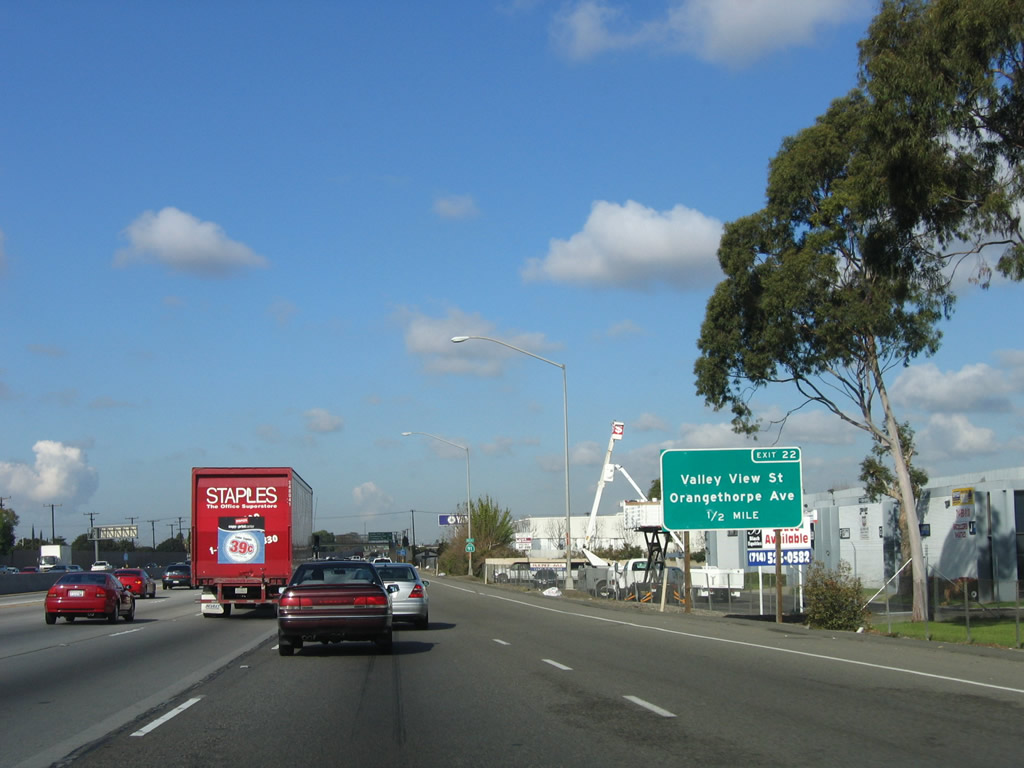 |
A roadside sign with exit number is posted for Exit 22, Valley View Street and Orangethorpe Avenue (one-half mile). Photo taken 03/18/06. |
 |
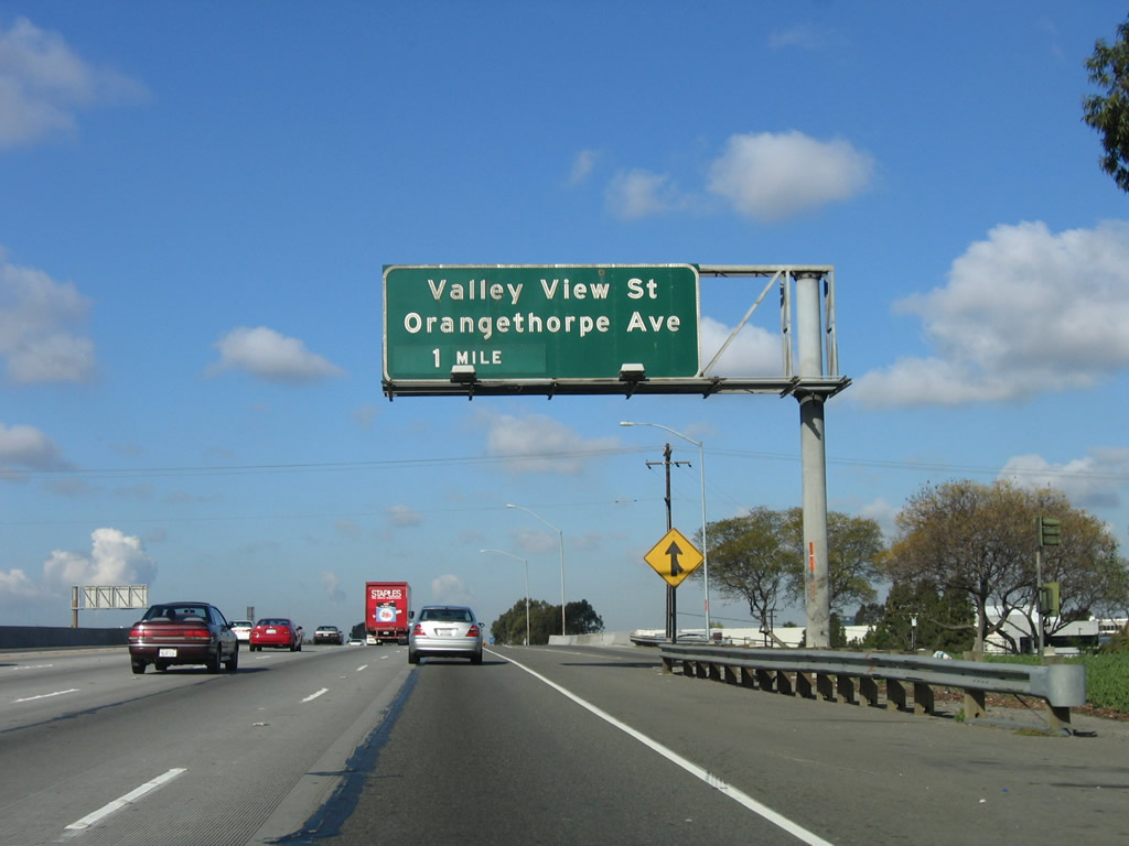
The next two exits along California 91 (Artesia Freeway) west are Exit 22, Valley View Street and Orangethorpe Avenue and Exit 20, Carmenita Road. Photo taken 09/28/08. |
 |
Westbound California 91 (Artesia Freeway) reaches Exit 22, Valley View Street and Orangethorpe Avenue. Photo taken 09/28/08. |
 |
The next exit along California 91 (Artesia Freeway) west is Exit 20, Carmenita Road. Photo taken 03/18/06. |
 |
The next three exits along California 91 (Artesia Freeway) west serve the city of Cerritos in Los Angeles County: Exit 20, Carmenita Road; Exit 19B, Artesia Boulevard and Bloomfiled Avenue; and Exit 19A, Norwalk Boulevard. Photo taken 09/28/08. |
 |
An arched pedestrian bridge crosses over California 91. Photo taken 09/28/08. |
 |
California 91 (Artesia Freeway) leaves Orange County and the city of Buena Park and enters Los Angeles County and the city of Cerritos prior to Exit 20, Carmenita Road. Cerritos, which was incorporated on April 24, 1956, had a population of 51,488 as of the 2000 Census. The city consists of 8.9 square miles. Pat Nixon, wife of former President Richard Nixon, had a childhood home at Pat Nixon Park. Photo taken 09/28/08. |
 |
Westbound California 91 (Artesia Freeway) reaches Exit 20, Carmenita Road. Photo taken 09/28/08. |
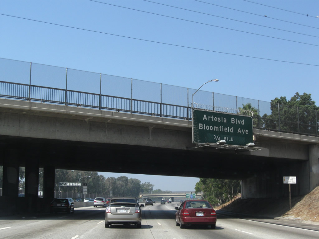 |
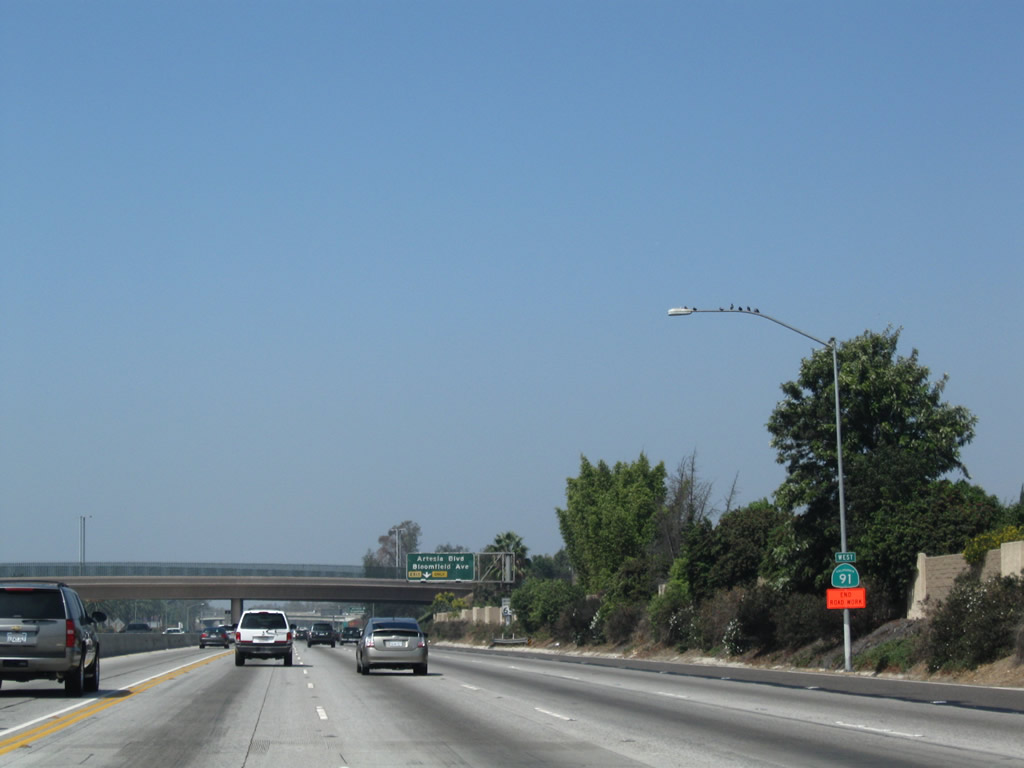
The next exit along California 91 (Artesia Freeway) west is Exit 19B, Artesia Boulevard and Bloomfield Avenue (0.75 mile). Photo taken 09/28/08. |
 |
A California 91 west reassurance shield is posted after the Carmenita Road on-ramp. Photo taken 09/28/08. |
 |
The right lane of California 91 (Artesia Freeway) west becomes exit only for Exit 19B, Artesia Boulevard and Bloomfield Avenue in Cerritos. Photo taken 09/28/08. |
 |
Westbound California 91 (Artesia Freeway) reaches Exit 19B, Artesia Boulevard and Bloomfield Avenue in Cerritos. Photo taken 09/28/08. |
 |
This bridge carries east-west Artesia Boulevard over the freeway. The next overpass carries north-south Bloomfield Avenue over the freeway. Photo taken 09/28/08. |
 |
The next overpass carried Bloomfield Avenue over the California 91 freeway. The next three exits along California 91 west are: Exit 19A, Norwalk Boulevard; Exit 18, Pioneer Boulevard; and Exit 17B, Interstate 605 (San Gabriel River Freeway). Photo taken 09/28/08. |
 |
Westbound California 91 (Artesia Freeway) reaches Exit 19A, Norwalk Boulevard. Photo taken 03/18/06. |
 |
The next three exits along California 91 west are: Exit 18, Pioneer Boulevard; Exit 17B, Interstate 605 (San Gabriel River Freeway); and Exit 17A, Studebaker Road. Photo taken 03/18/06. |
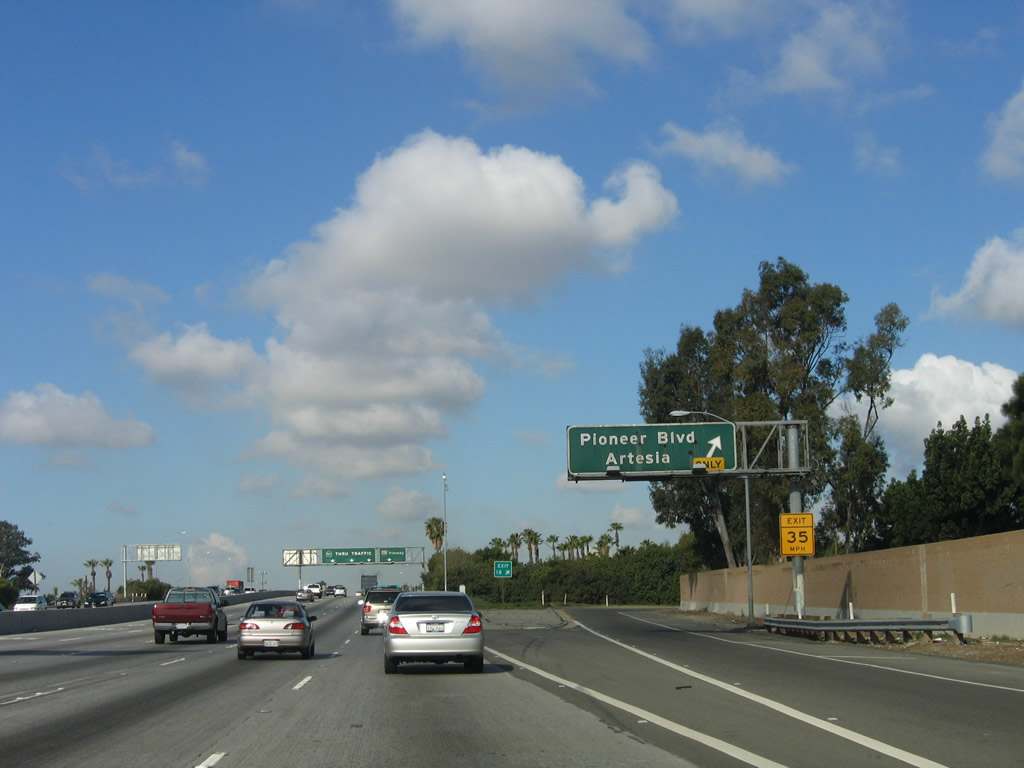 |
Westbound California 91 reaches Exit 18, Pioneer Boulevard. Photo taken 03/18/06. |
 |
The next exit along westbound California 91 (Artesia Freeway) is Exit 17B, Interstate 605 (San Gabriel River Freeway). Note the use of "Thru Traffic" as a control city; Interstate 605 is also signed with the control city of "Thru Traffic" on its overhead signs. Photo taken 03/18/06. |
 |
This mileage sign provides the distance to the next three exits: Exit 17B, Interstate 605; Exit 17A, Studebaker Road; and Exit 16, Bellflower Boulevard. Photo taken 03/18/06. |
 |
The left three lanes continue west on California 91 toward the coast, while the right two lanes exit to Interstate 605 north to Duarte and south to Seal Beach. Photo taken 03/18/06. |
 |
The second exit after the ramp to Exit 17B, Interstate 605 north and south is Exit 17A, Studebaker Road south to Long Beach. Photo taken 03/18/06. |
 |
Westbound California 91 (Artesia Freeway) reaches Exit 17B, Interstate 605 (San Gabriel River Freeway). There is no direct connection from the high-occupancy vehicle lane onto Interstate 605 from California 91. Photo taken 03/18/06. |
 |
The transition ramp from California 91 (Artesia Freeway) west to Interstate 605 (San Gabriel River Freeway) carries two lanes for a fair distance before splitting. Photo taken 03/18/06. |
 |
The right two lanes of the transition ramp link to Interstate 605 north, while the left lane connects to Interstate 605 south to Seal Beach. Photo taken 03/18/06. |
 |
Back on the mainline, westbound California 91 (Artesia Freeway) reaches Exit 17A, Studebaker Road. Photo taken 09/28/08. |
 |
The next exit along California 91 (Artesia Freeway) west is Exit 16, Bellflower Boulevard (1.50 miles). Photo taken 09/28/08. |
 |
The next three exits along California 91 (Artesia Freeway) west are: Exit 16, Bellflower Boulevard; Exit 15B, Clark Avenue; and Exit 15A, California 19/Lakwood Boulevard. Photo taken 09/28/08. |
 |
Each of the next three exits along California 91 (Artesia Freeway) west serve the city of Bellflower. The city was incorporated on September 3, 1957. As of the 2000 Census, the city had a population of 72,878 people and consisted of 6.2 square miles of area. Photo taken 09/28/08. |
 |
The right lane of California 91 (Artesia Freeway) west becomes exit only for Exit 16, Bellflower Boulevard. Photo taken 09/28/08. |
 |
Westbound California 91 (Artesia Freeway) reaches Exit 16, Bellflower Boulevard. The next exit is Exit 15B, Clark Avenue. Photo taken 09/28/08. |
 |
The next three exits along California 91 (Artesia Freeway) west are: Exit 15B, Clark Avenue; Exit 15A, California 19 (Lakewood Boulevard); and Exit 14B, Downey Avenue. Photo taken 09/28/08. |
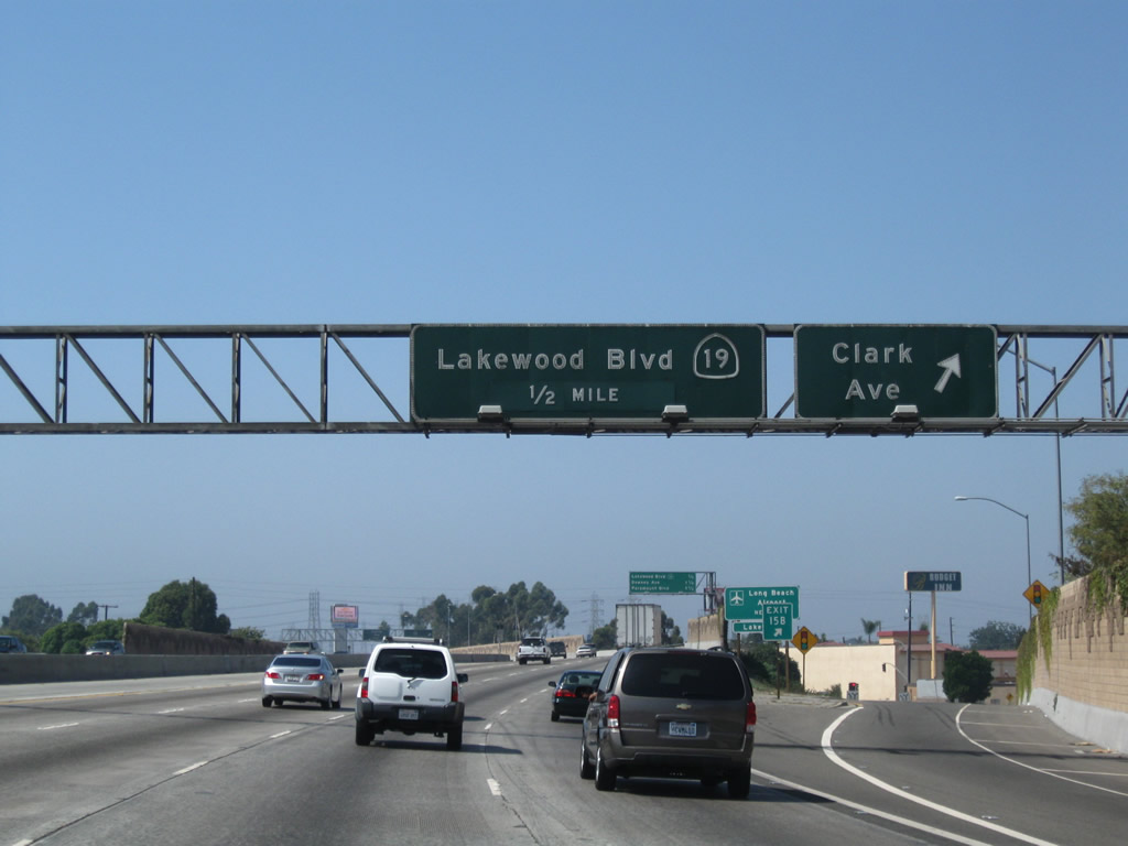 |
Westbound California 91 reaches Exit 15B, Clark Avenue. The next exit is Exit 15A, California 19 (Lakewood Boulevard). Photo taken 09/28/08. |
 |
Use Exit 15A, California 19 (Lakewood Boulevard) south to Long Beach Airport. Is it not common for two routes with the same digits to intersect (91 and 19). Photo taken 09/28/08. |
 |
The next three exits along California 91 (Artesia Freeway) west are: Exit 15A, California 19 (Lakewood Boulevard); Exit 14B, Downey Avenue; and Exit 14A, Paramount Boulevard. Photo taken 09/28/08. |
 |
Westbound California 91 reaches Exit 15A, California 19 (Lakewood Boulevard). This state route, which has been gradually decommissioned and shifted to local maintenance, begins at a traffic circle in Long Beach, then leads north to end at Interstate 210 near Sierra Madre and Pasadena. Nearly the entire route is multi-lane divided, but it is very congested as it passes through various suburbs south and east of Los Angeles. Photo taken 09/28/08. |

Page Updated September 11, 2010.
|
About Contact Glossary |
In The News Testimonials Interstate Guide |
Social Media:
 |
|
© 2000-23 AARoads.com | All Rights Reserved | Privacy Policy / Terms of Use
|
||