This page showcases extant segments of Historic U.S. 80 in In-Ko-Pah Park, Jacumba Hot Springs, Bankhead Springs, Live Oak Springs, La Posta, Buckman Springs, Laguna Junction, Pine Valley, Guatay, and Descanso Junction.
| Historic U.S. 80 west |
|---|
|
|
|
|
|
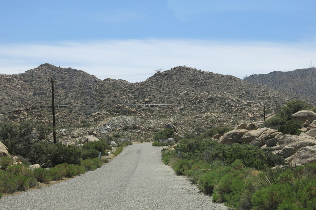
| Between Desert View Tower and the Interstate 8 interchange, In-Ko-Pah Park Road follows an old section of U.S. 80, including several concrete segments. Photos taken 04/20/13. |
|
|
|
|
|
| U.S. 80 proceeds from Imperial County into San Diego County and approaches the on-ramp to Interstate 8 west to San Diego. Photos taken 04/20/13. |
|
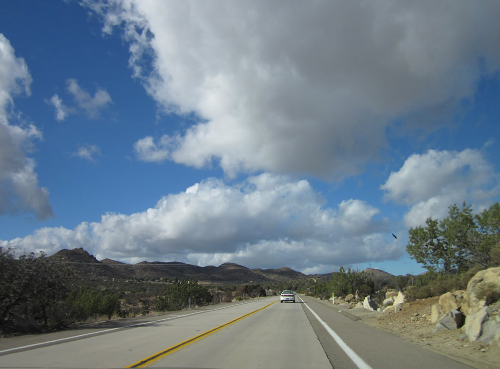
Now at the top of the grade and traveling west, a very long drivable segment of old U.S. 80 begins after leaving Desert View Tower parking lot. Old U.S. 80 passes from Imperial County into San Diego County. At this point, turn left to connect to Interstate 8 west to San Diego. Photo taken 04/19/08. |
|
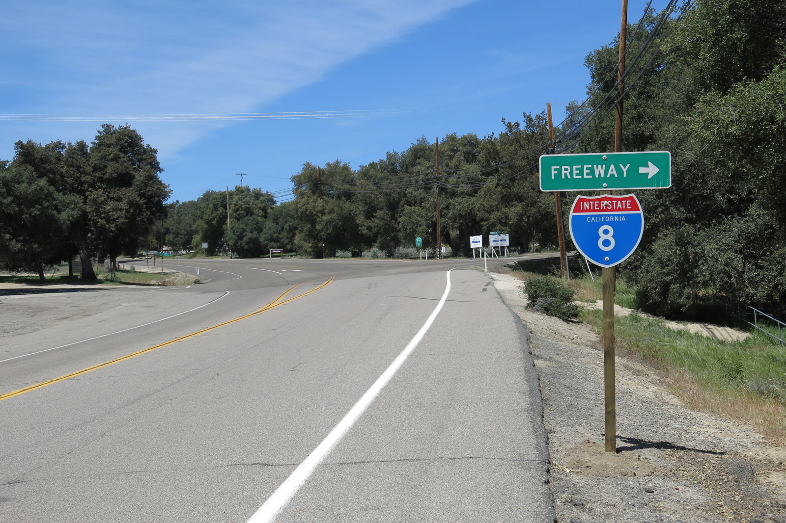
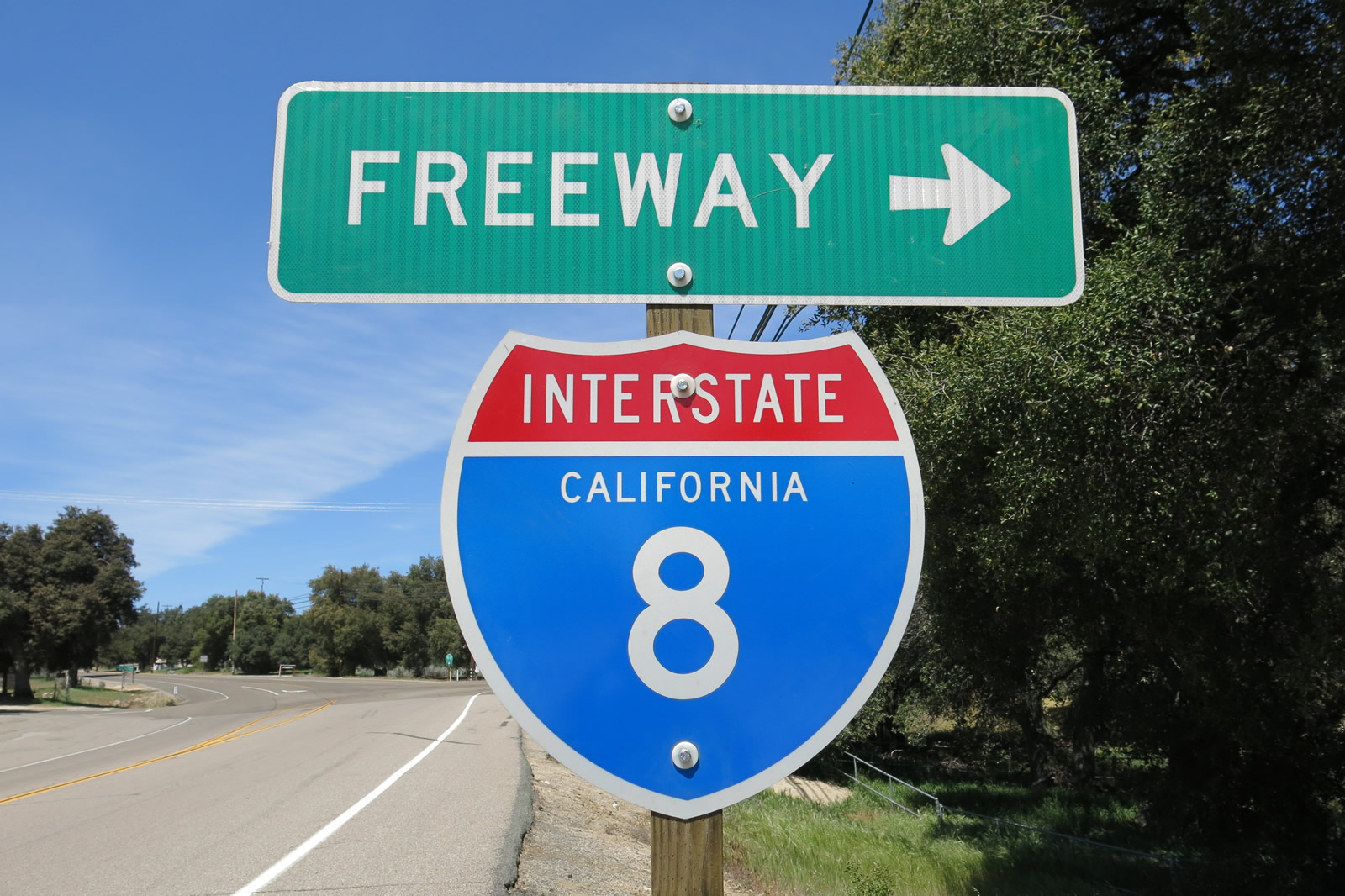
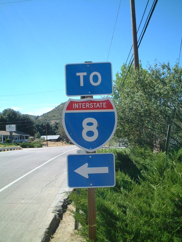
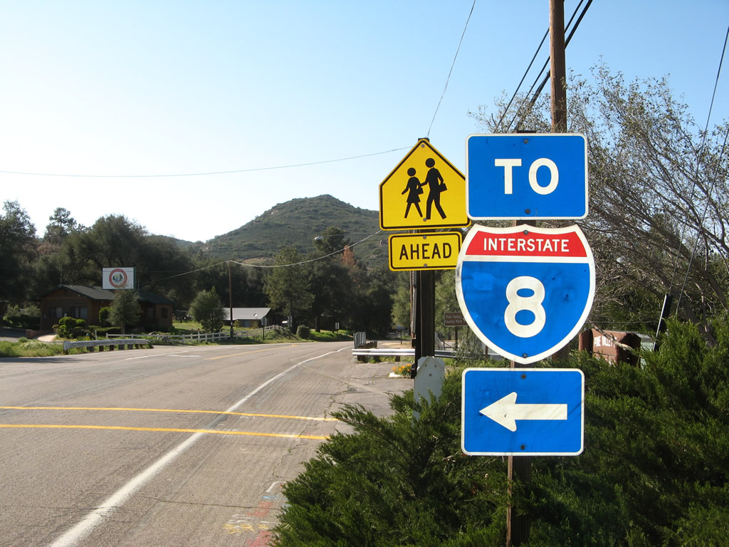
This freeway entrance shield assembly is posted for the connection from In-Ko-Pah Park Road (U.S. 80) to Interstate 8 (Kumeyaay Highway) west to San Diego. Photo taken 04/19/08. |
|
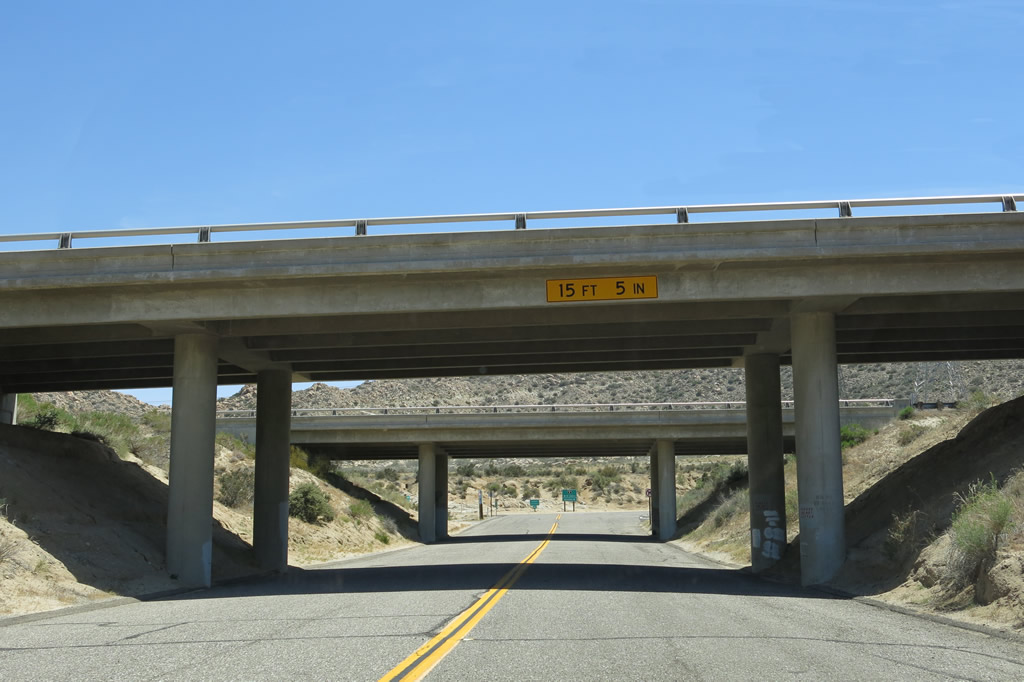
After the Interstate 8 west turnoff, U.S. 80 continues briefly, then will turn left to pass under the freeway. Photo taken 04/19/08. |
|
U.S. 80 proceeds west and then turns south to pass under the freeway. Photo taken 04/20/13. |
|
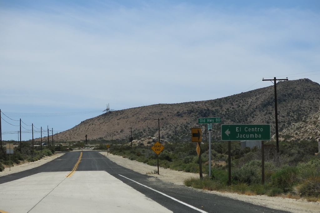
Old Highway 80 west turns from In-Ko-Pah Park Road to Jacumba and Interstate 8 east to El Centro. Photo taken 04/20/13. |
|
Old Highway 80 west passes under Interstate 8. Photo taken 04/20/13. |
|
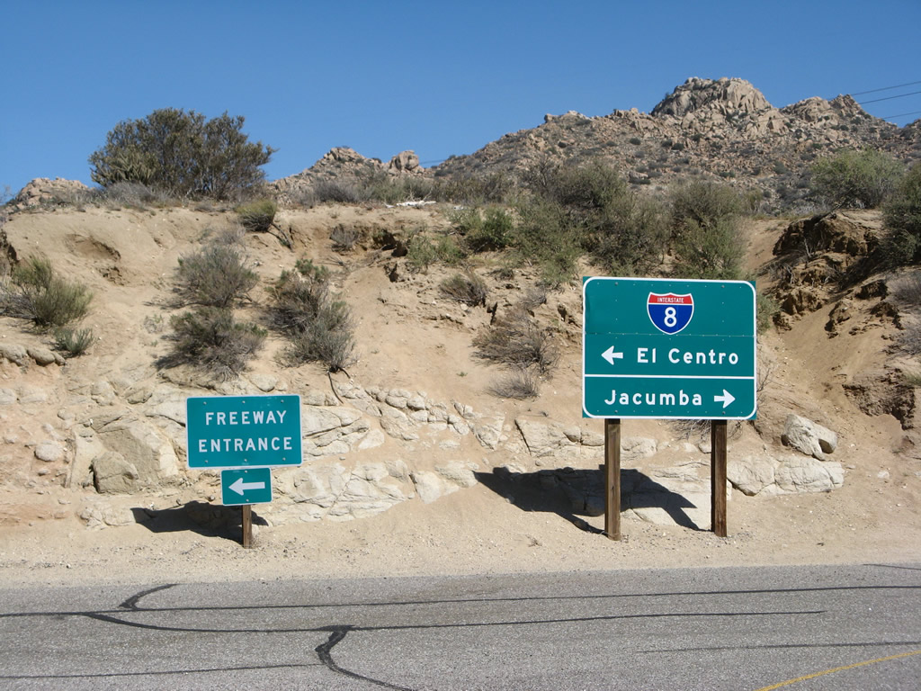
An off-ramp from Interstate 8 east meets Old Highway 80 at this intersection. At the stop sign ahead, Old Highway 80 turns west toward Jacumba. Photo taken 04/20/13. |
|
Reaching the stop sign, old U.S. 80 turns west toward Jacumba Hot Springs. A left turn connects with Interstate 8 east to El Centro and the Imperial Valley. Photo taken 04/19/08. |
|
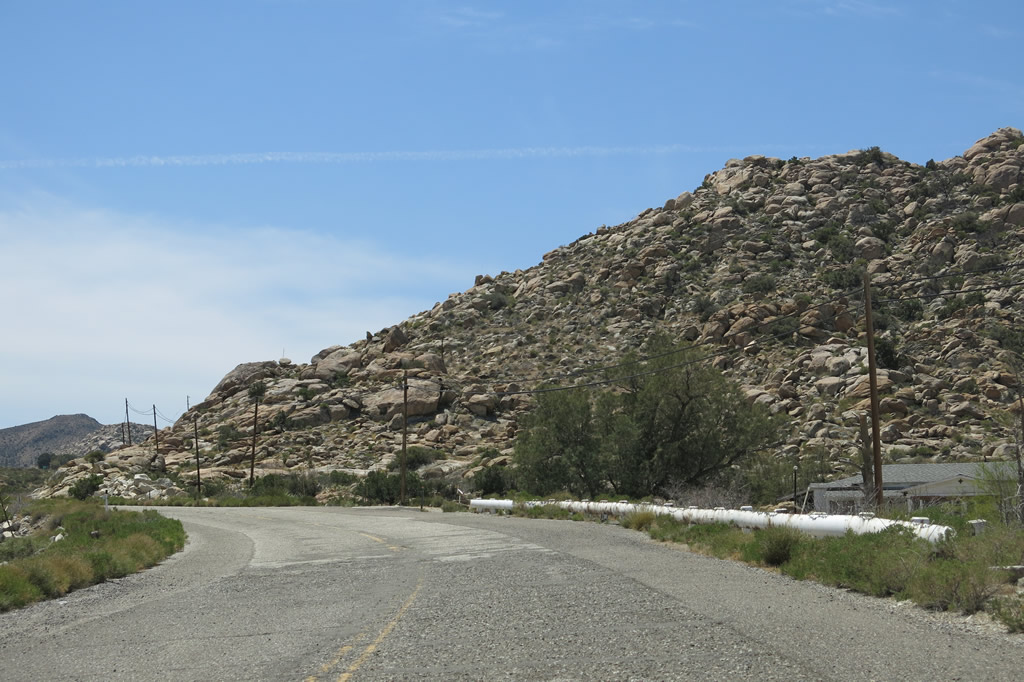
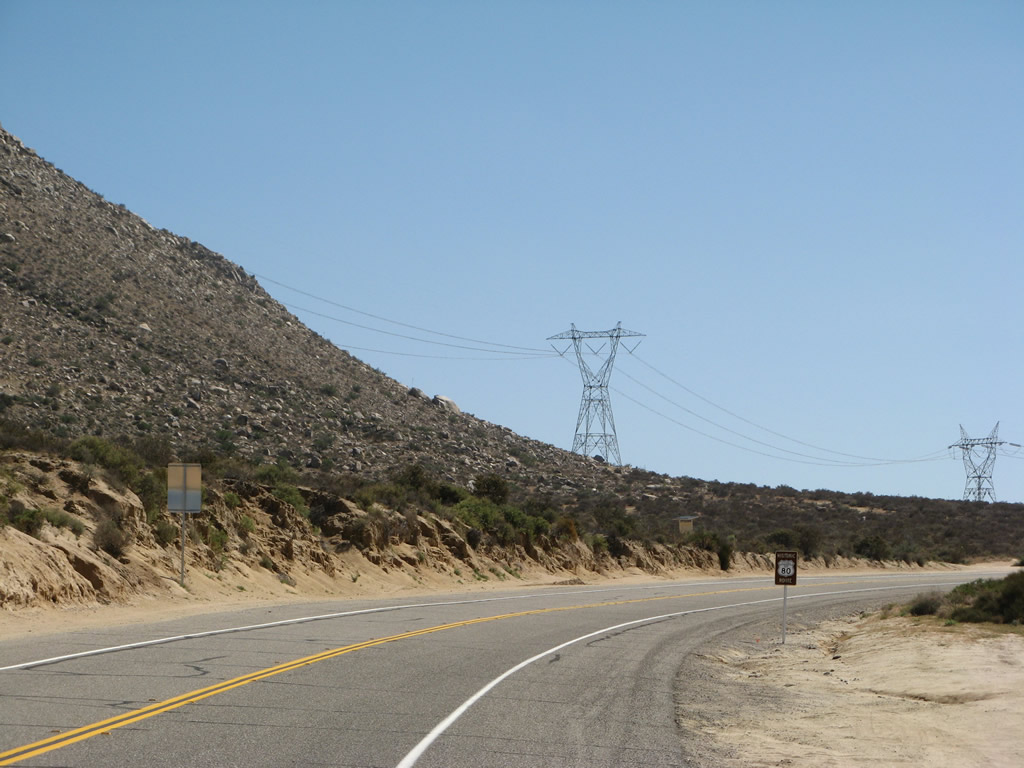
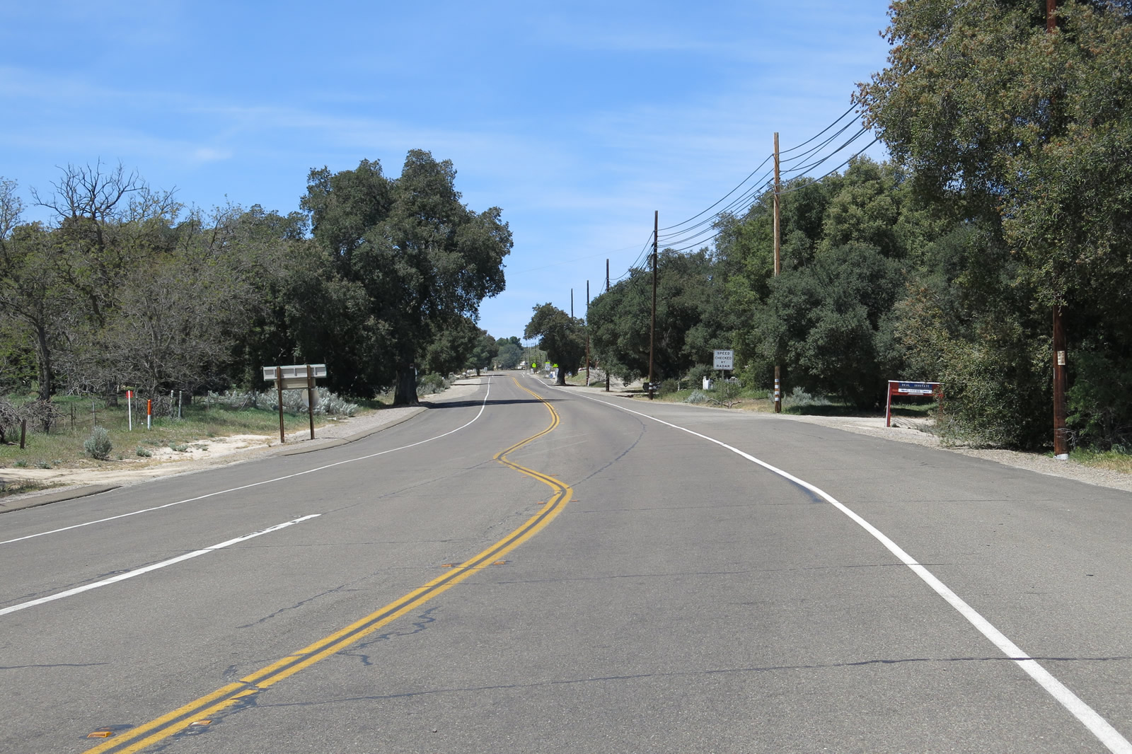
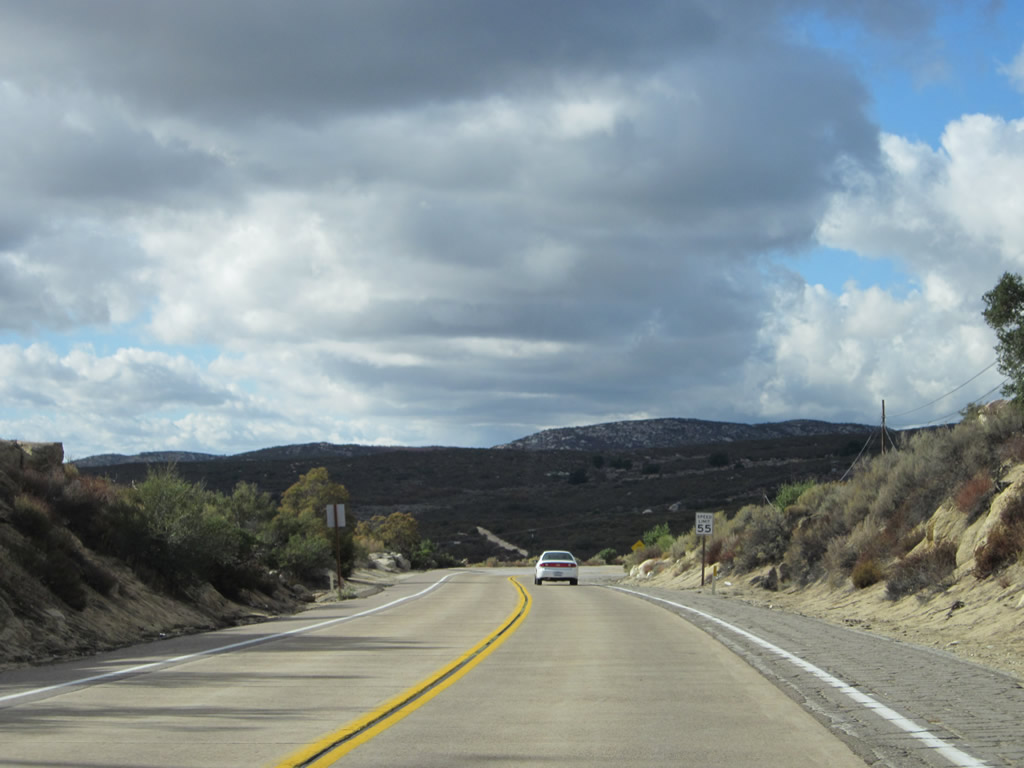
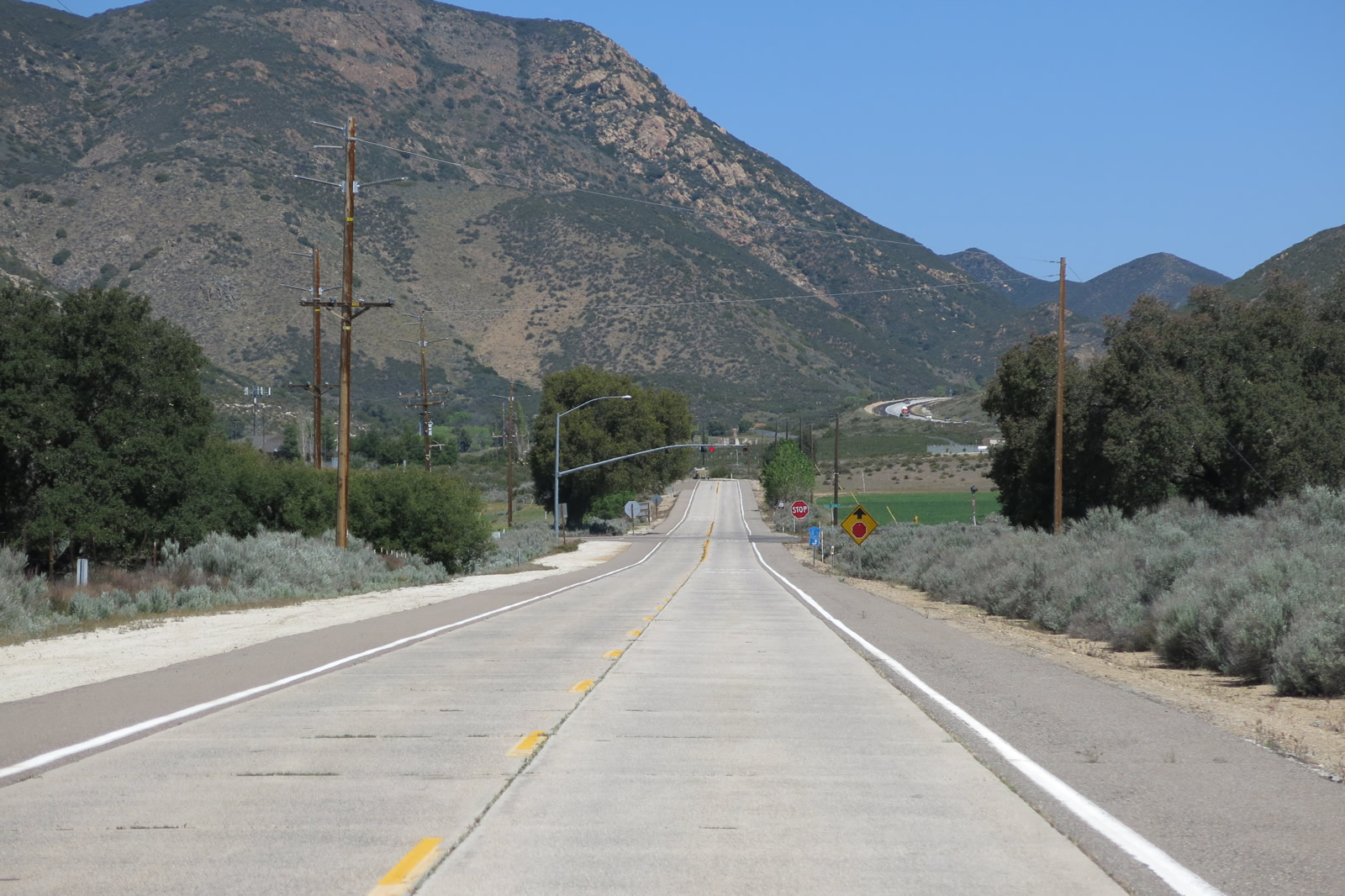
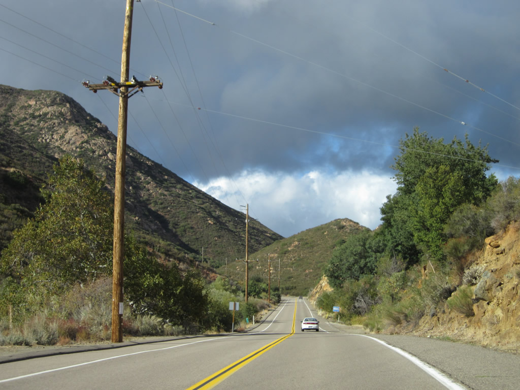
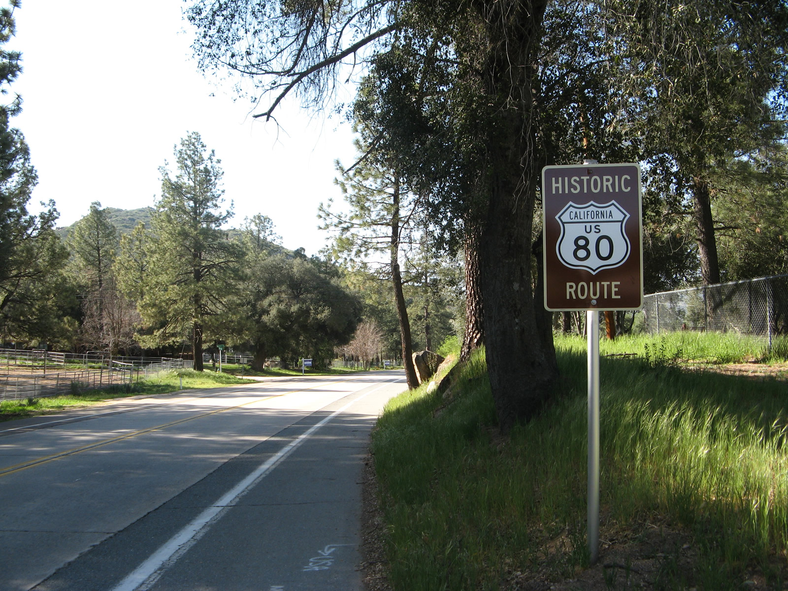
After the Interstate 8 interchange, U.S. 80 follows its original alignment southwest toward the unincorporated community of Jacumba Hot Springs. A historic U.S. 80 brown sign is posted shortly after the Interstate 8 interchange (Exit 77). The Southwest Powerlink, a 500kV power line, generally follows the U.S. 80 corridor through Jacumba Hot Springs. The companion Sunrise Powerlink, which was constructed and activated in 2012, was not in place at the time this picture was taken and now follows the Southwest Powerlink through this area northeast of Jacumba Hot Springs. Photo taken 04/19/08. |
|
|
|
|
|
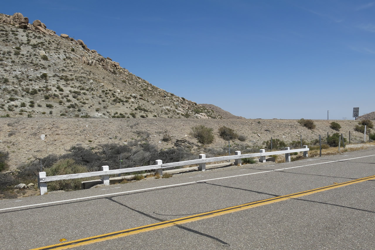
| Just west of the Interstate 8 interchange, Old Highway 80 passes over a 1932 culvert. This concrete culvert has a date stamp and old, white wooden railing. After the culvert, Old Highway 80 will curve southwest toward Jacumba Hot Springs, while Interstate 8 will turn west toward Walker Canyon and Boulevard. Photos taken 04/20/13. |
|
A short section of single-slab concrete juts out from Old Highway 80 after the historic route passes over the 1932 culvert. This section has been abandoned in place and is not used as part of the through highway. Photo taken 04/20/13. |
|
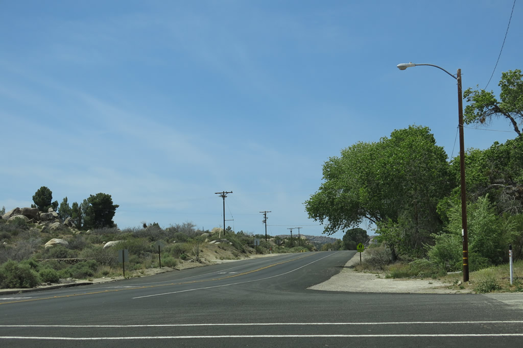
Skipping ahead a bit, Old Highway 80 passes through downtown Jacumba Hot Springs and sees a stand of old buildings on the north side of the highway. Photo taken 04/20/13. |
|
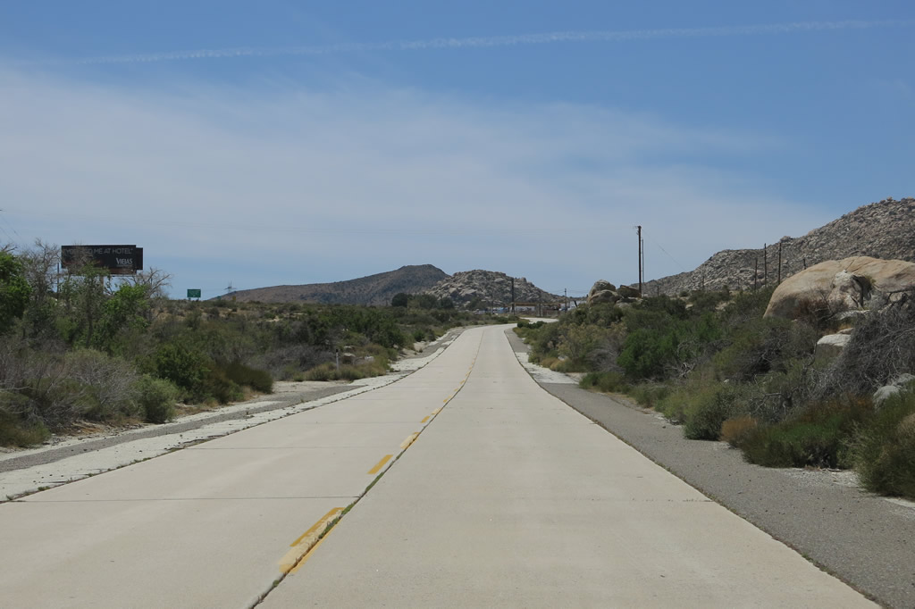
Old Highway 80 proceeds west out of Jacumba Hot Springs. Photo taken 04/20/13. |
|
|
|
|
|
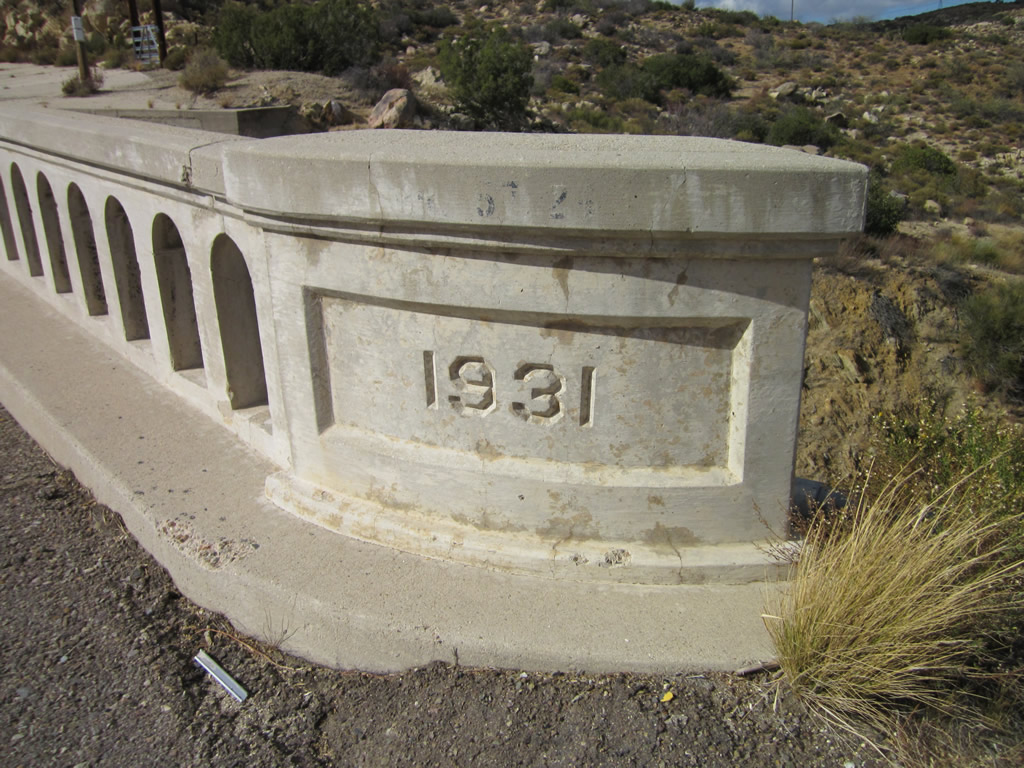
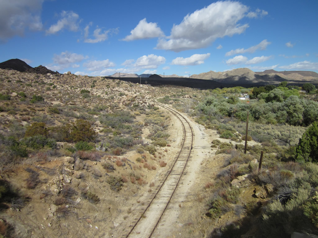
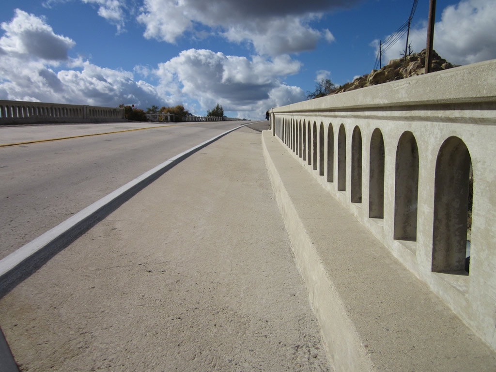
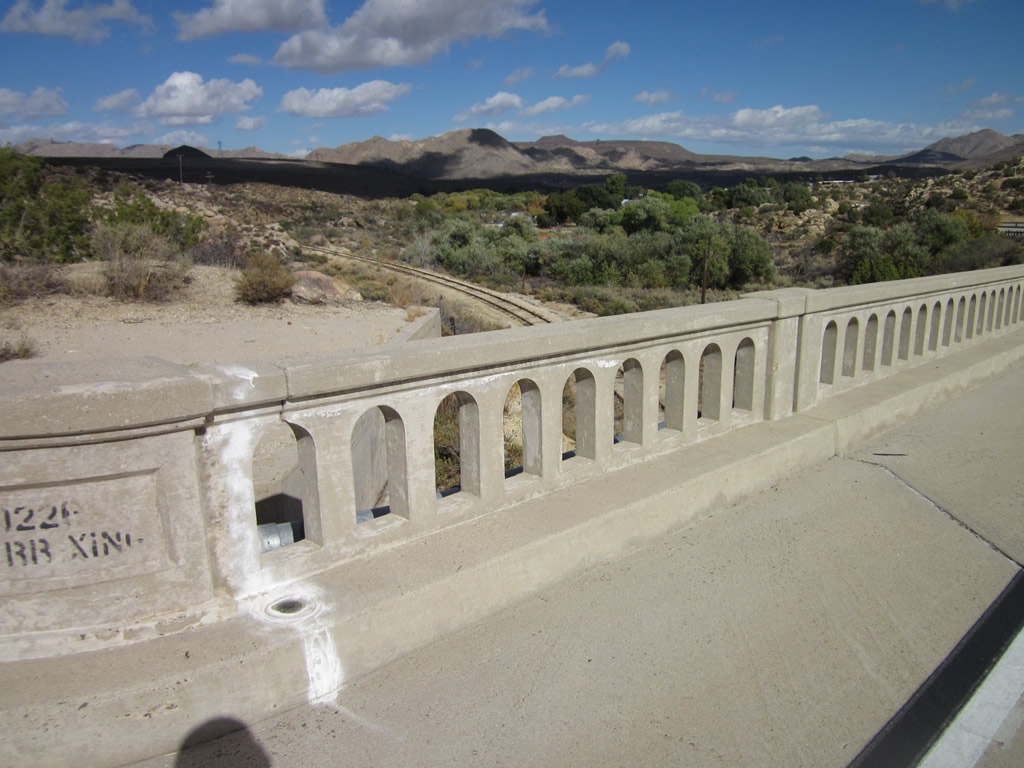
| Two historic bridges carry westbound U.S. 80 over a tenth of a mile segment just west of Jacumba Hot Springs. The first bridge carries U.S. 80 over Boundary Creek, and the second crosses over the San Diego & Imperial Valley (San Diego & Arizona Eastern) Railroad. Both bridges are concrete tee-beam bridges built in 1931, the first with four spans and the second with three spans. These bridges replaced the earlier auto trail alignment and bridge. Extant sections of auto trail (1916 single-slab concrete) are visible on both sides of the bridges to show where the old road used to travel. A portion of the 1916 road travels alongside Boundary Creek and leads onto private property that should not be disturbed. Photos taken 11/10/12, 02/11/12, and 10/14/06. |
|
|
|
|
|
|
|
|
|
|
|
|
|
|
|
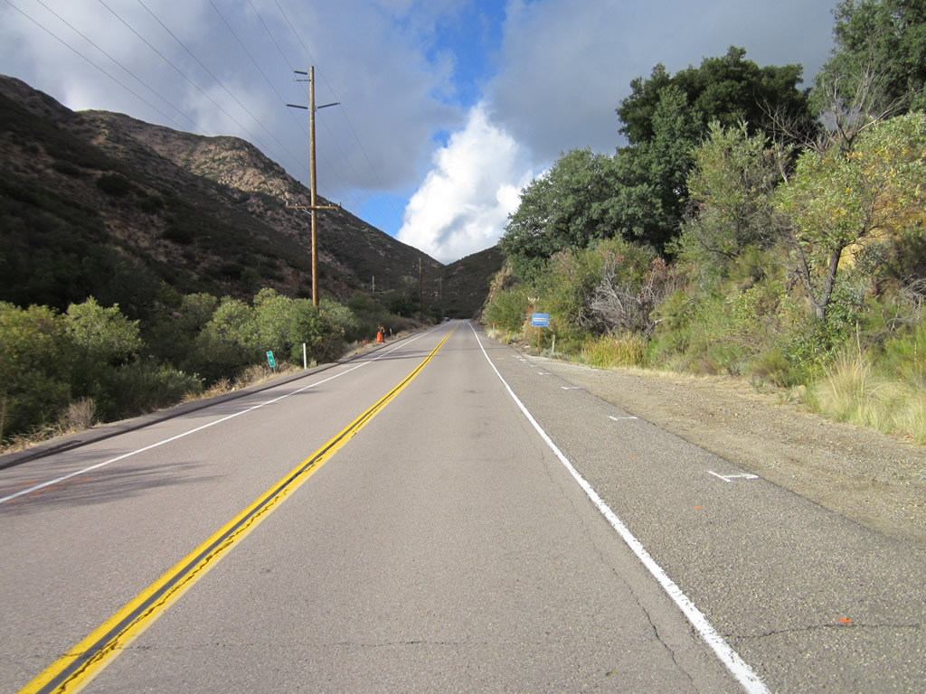
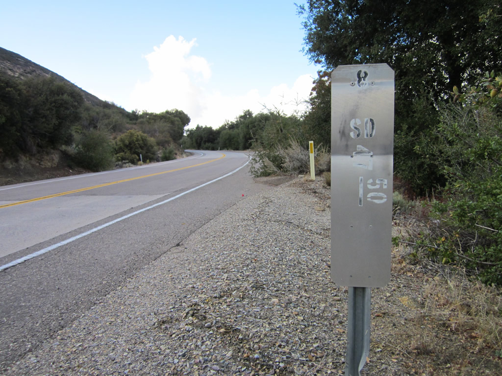
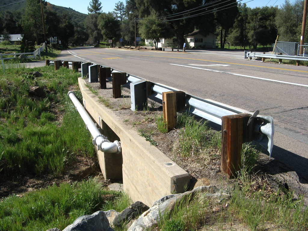
| Beyond Jacumba Hot Springs, Boundary Creek, and the San Diego & Imperial Valley (San Diego & Arizona Eastern) Railroad bridge, U.S. 80 proceeds northwest away from the U.S.-Mexico International Border (Frontera Internacional). The highway will pass under the 500kV Southwest Powerlink, then proceed through rugged terrain toward Bankheard Springs and Boulevard. A few date stamps (such as the one shown here) indicate the year of highway construction as June 29, 1932, and June 30, 1932, during the Great Depression, possibly as part of the Works Progress Administration. One direction was paved first, and the other direction was paved second, creating twin-slab concrete allowing for two directions of travel on the concrete highway. Other segments of U.S. 80 in the Laguna Mountains were built as early as 1929. Photos taken 11/10/12, 02/11/12, and 10/14/06. |
|
|
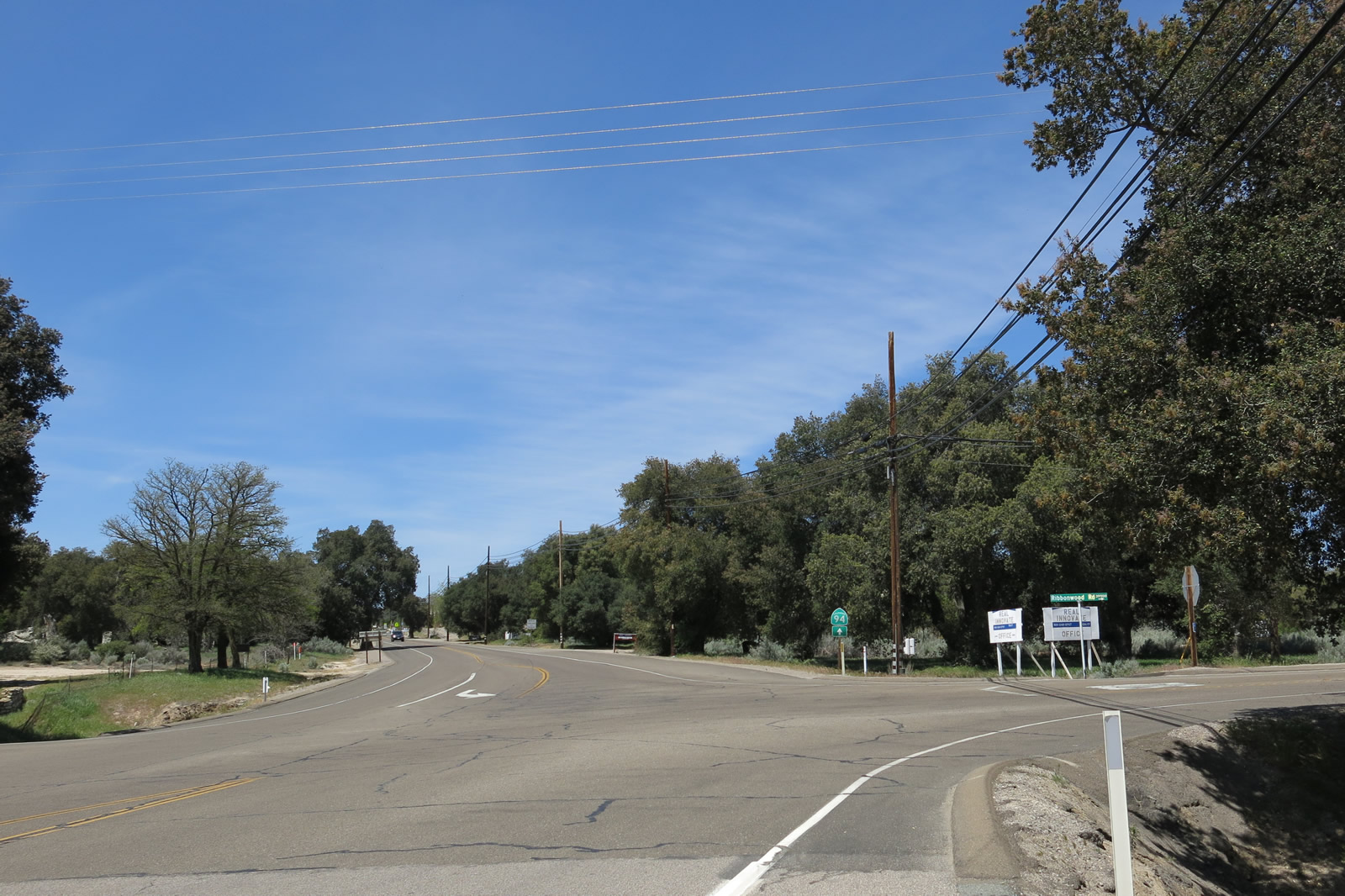
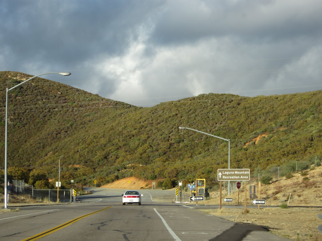
Westbound Historic U.S. 80 (Old Highway 80) proceeds through Boulevard. The next intersection connects to California 94/Ribbonwood Road north to Interstate 8 and Jewel Valley Road south. Photos taken 04/20/13. |
|
|
Near the Wisteria Candy Cottage (in operation since 1921), westbound Historic U.S. 80 (Old Highway 80) meets California 94/Ribbonwood Road north to Interstate 8 and Jewel Valley Road south. California 94 and Historic U.S. 80 proceed west on a shared alignment for a few miles until they split. Photos taken 04/20/13 and 11/10/12. |
| Historic U.S. 80 & California 94 west |
|
|
Now merged with Historic U.S. 80, this California 94 west trailblazer is posted along westbound Old Highway 80. The two routes will share alignment for a few miles, then separate at a fork in the road, with Old Highway 80 aiming northwest to proceed alongside Interstate 8 and California 94 turning southwest toward Campo and Tecate. Photos taken 04/20/13. |
|
Buses and recreational vechicles are restricted along California 94 between Boulevard and Campo. Photo taken 11/10/12. |
|
A California 94 shield is posted for the left turn for the continuation of the state route. Stay right for the continuation of Old Highway 80. Photo taken 11/10/12. |
|
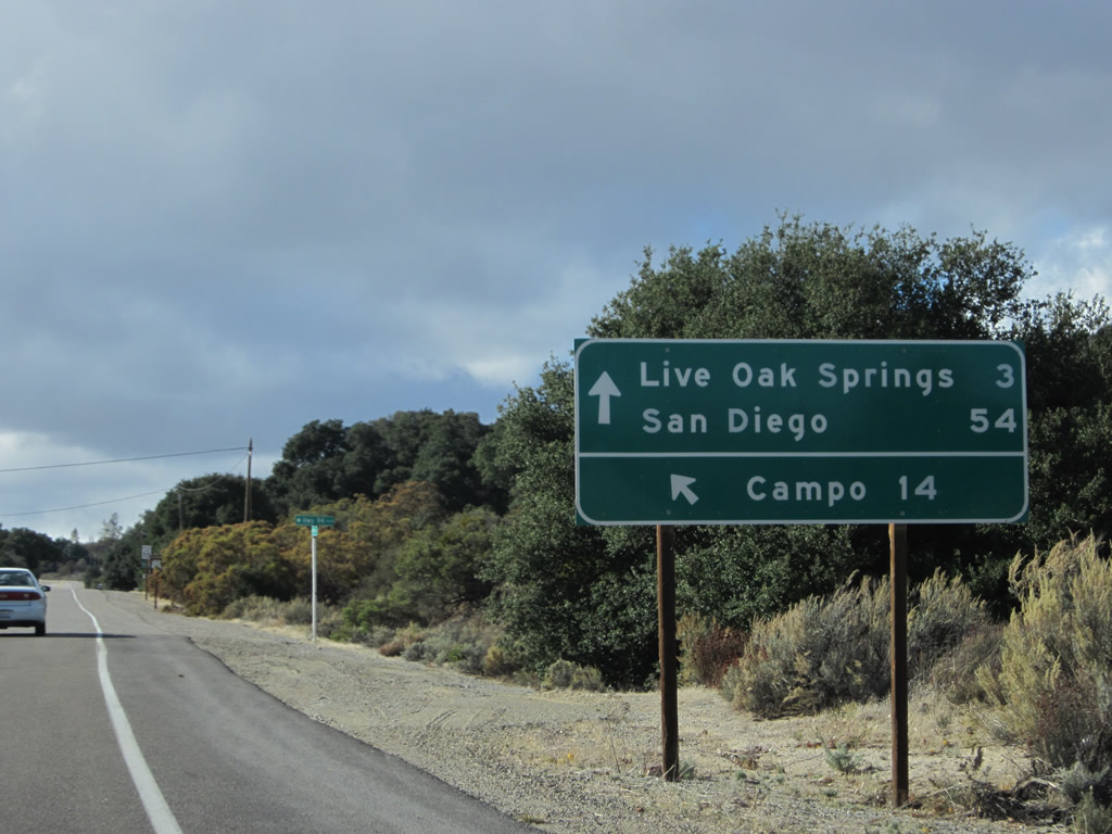
This mileage sign along California 94 and Historic U.S. 80 west points the way to Campo (14 miles via California 94 west) and Live Oak Springs (three miles via Old Highway 80 west) and San Diego (54 miles via Old Highway 80 and Interstate 8). Through traffic to San Diego via California 94 is discouraged by this sign even though both routes will provide connections to the San Diego metropolitan area. Photo taken 11/10/12. |
| Historic U.S. 80 west |
|
A Historic U.S. 80 route marker sign is posted along westbound Old Highway 80 immediately after the split from California 94. Proceed ahead toward Live Oak Springs and La Posta. Photo taken 11/10/12. |
|
Twenty miles ahead is the community of Pine Valley, on the western side of Laguna Junction. Photo taken 11/10/12. |
|
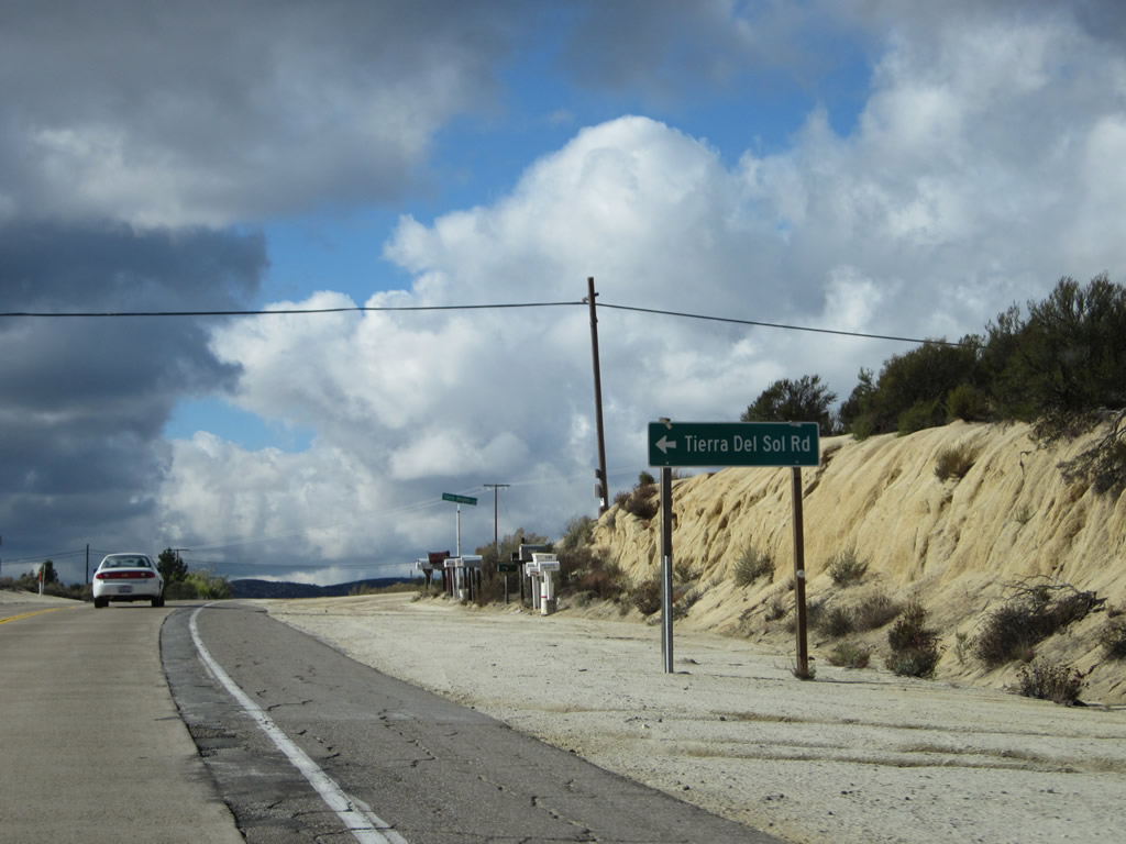
A short distance west of Boulevard are the Tecate Divide and Tierra Del Sol Road, which travels south to Tierra Del Sol and California 94. Photo taken 11/10/12. |
|
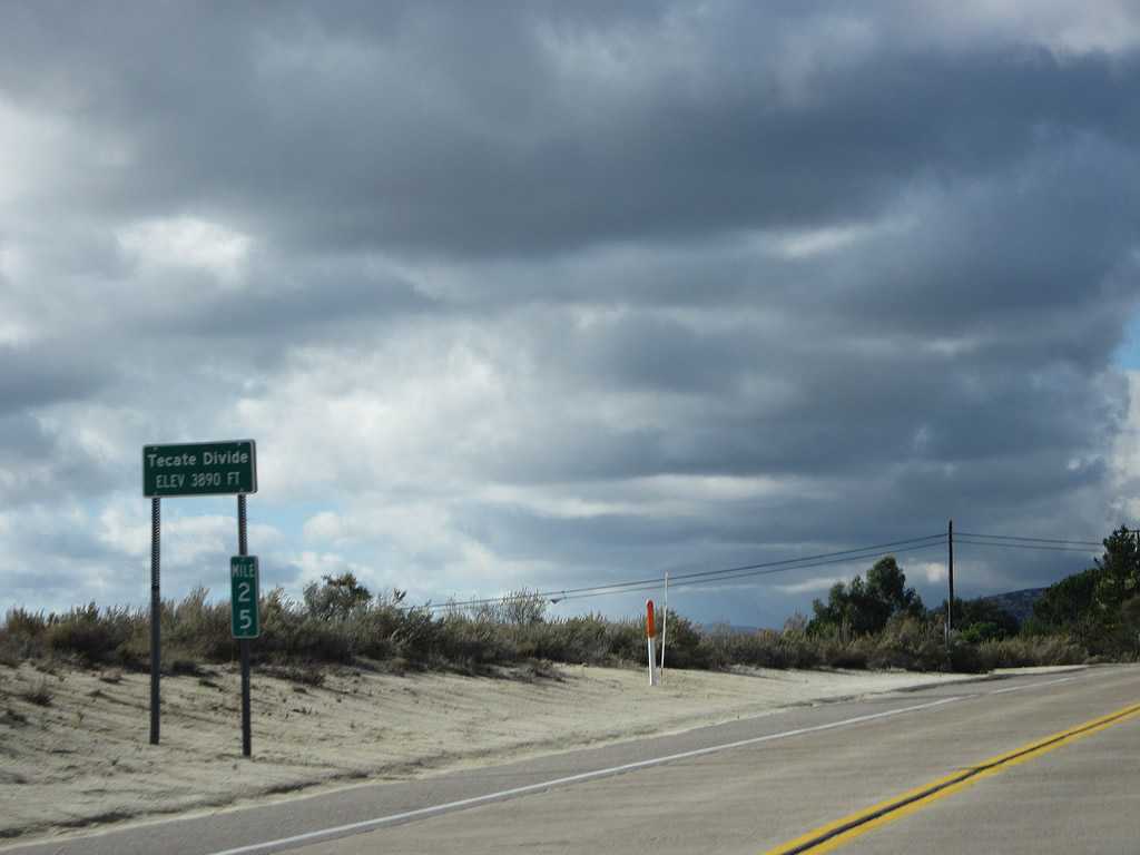
The intersection of Old Highway 80 and Tierra Del Sol Road is also the Tecate Divide, a summit along Historic U.S. 80 that reaches 3,890 feet. Photo taken 11/10/12. |
|
Old Highway 80 proceeds downhill from Tecate Divide, still enjoying its twin-slab concrete. Photo taken 11/10/12. |
|
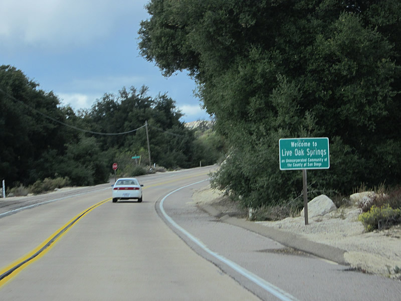
Westbound Old Highway 80 enters the unincorporated community of Live Oak Springs. Some motorist services are available in the community, including the Live Oak Springs Resort, which offers lodging, camping, and food. Upon leaving Live Oak Springs, Old Highway 80 again gains elevation, this time leading toward Golden Acorn Casino and Crestwood Summit, another high point along the route. Photo taken 11/10/12. |
|
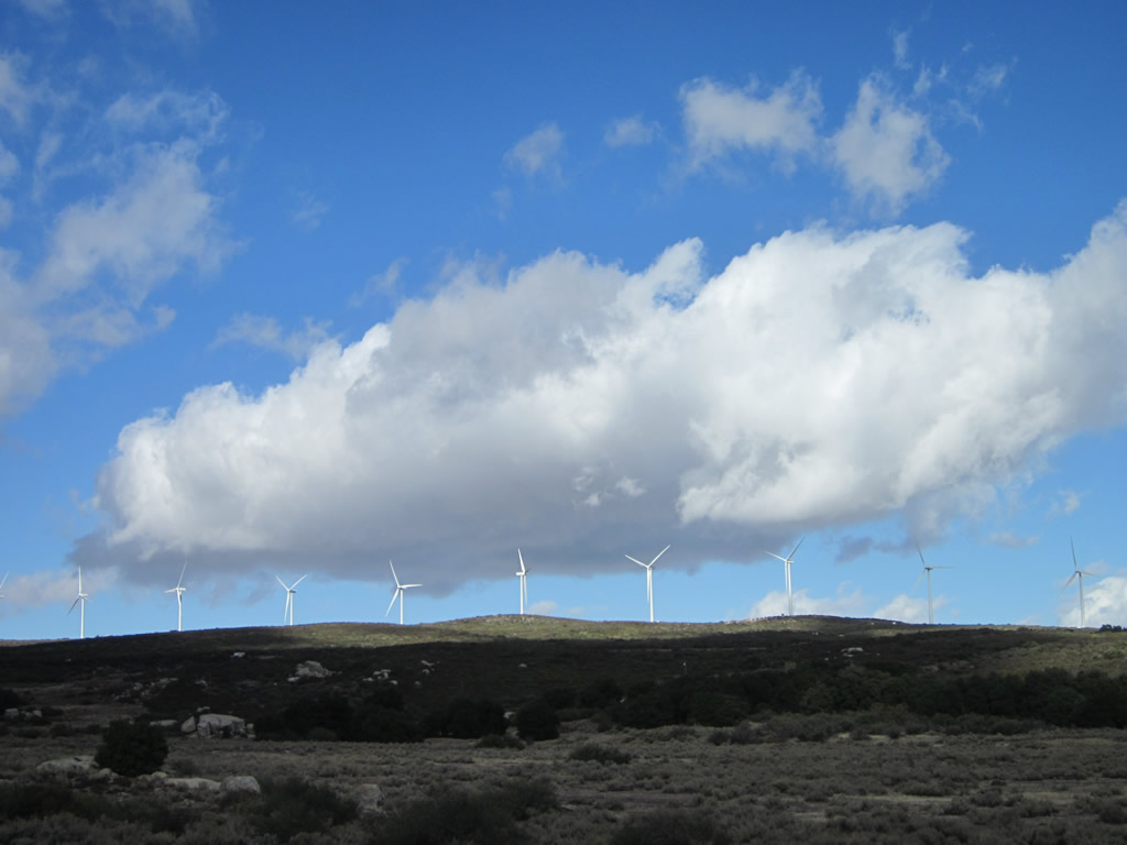
A ridge of wind turbines comes into view along westbound Old Highway 80 between Live Oak Springs and Crestwood Summit near Golden Acorn Casino. Photo taken 11/10/12. |
|
Adjacent to the Golden Acorn Casino, we find this historic U.S. 80 route marker that deviates a bit from the typical, county-placed brown markers seen elsewhere on the route. In addition to the unusual font and design, this particular sign mentions the "John Finn Route." Photo taken 11/10/12. |
|
Just before reaching the Crestwood Summit interchange along Interstate 8 (Exit 61), Old Highway 80 will turn left at this intersection. Immediately thereafter, ramps await for motorists to follow Interstate 8 east to El Cento and west to San Diego. Photo taken 11/10/12. |
|
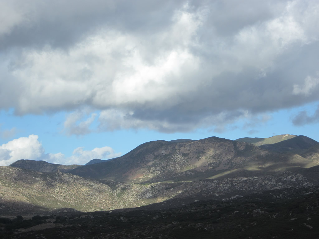
After the Crestwood Road intersection, westbound Old Highway 80 resumes along another extant section of Historic U.S. 80. Another brown historical route marker is posted along westbound as we begin to descend from Crestwood Summit. This section is among the most scenic segments of Historic U.S. 80 in San Diego County. More twin-slab concrete pavement awaits ahead. Photo taken 11/10/12. |
|
|
|
|
|
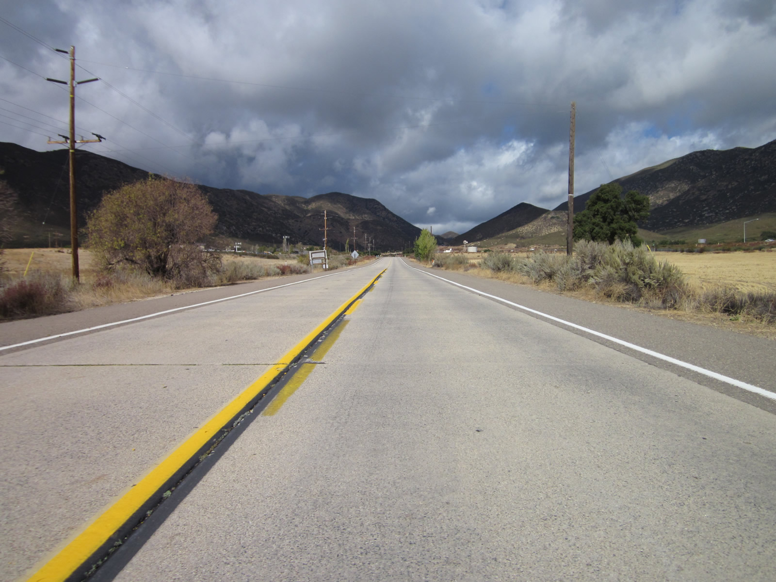
| U.S. 80 (Old Highway 80) proceeds west from Crestwood Summit downhill toward La Posta and Kitchen Creek. Stormy, blustery weather blew through the area on this fall day. Photos taken 11/10/12. |
|
New to this section of Old Highway 80 is the Sunrise Powerlink, a 500kV San Diego Gas & Electric power line that crosses the Laguna Mountains. Shortly after the La Posta Road intersection, Old Highway 80 passes under the Sunrise Powerlink for the first time. The power line was activated on July 26, 2012, and travels 117 miles from the Imperial Valley Substation west to Alpine and Sycamore Canyon substations. Estimates peg the cost at $1.883 billion. The Sunrise Powerlink generally parallels the 500kV Southwest Powerlink, which was built in the 1980s on a course that connects Imperial Valley with the Miguel Substation near California 125. Photo taken 11/10/12. |
|
After passing through La Posta and meeting Kitchen Creek Road, this Historic U.S. 80 sign is posted along westbound Old Highway 80 after the Kitchen Creek Road intersection near Cameron Station. Photo taken 04/20/13. |
|
After passing through La Posta and meeting Kitchen Creek Road, westbound Old Highway 80 crosses over Kitchen Creek on this 1994 bridge. Photo taken 11/10/12. |
|
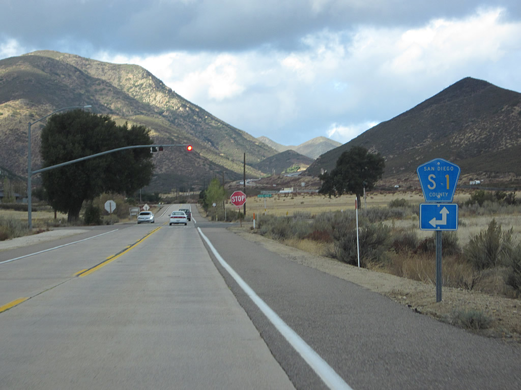
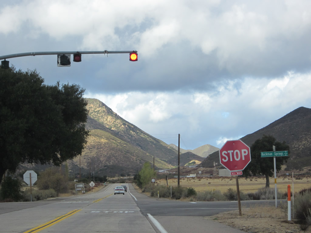
The next major intersection along westbound Old Highway 80 is with San Diego County S-1 (Buckman Springs Road). Turn left here for S-1 (Buckman Springs Road) south to Lake Morena and Campo. Turn right for Buckman Springs Road north to Interstate 8 and a rest area. Photo taken 04/20/03. |
|
This view looks west along Old Highway 80 prior to the intersection with San Diego County S-1 (Buckman Springs Road). Photo taken 04/20/03. |
|
A San Diego County S-1 trailblazer is posted along westbound U.S. 80 prior to the Buckman Springs Road intersection. Turn left for S-1 (Buckman Springs Road) south or continue ahead for S-1 north to Sunrise Highway and Mount Laguna. Photo taken 11/10/12. |
|
Westbound Old Highway 80 meets San Diego County S-1 (Buckman Springs Road) at this stop sign. Photo taken 11/10/12. |
| Historic U.S. 80 west & San Diego County S-1 north |
|---|
|
|
|
|
|
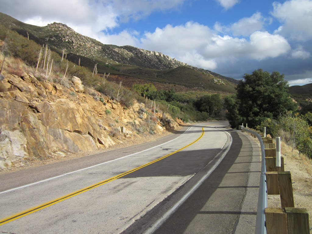
| Westbound Historic U.S. 80 and northbound San Diego County S-1 proceed northwest along Old Highway 80 after leaving the Buckman Springs Road intersection. The old road will curve to the north as it travels toward Laguna Summit, where it will rendezvous with Interstate 8 east of Pine Valley. A date stamp in the concrete near this sign reveals this concrete was poured in 1929. Photos taken 11/10/12. |
|
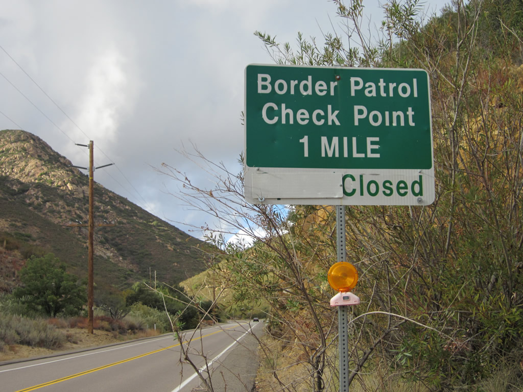
Between Buckman Springs and Laguna Junction, weastbound Old Highway 80 and northbound San Diego County S-1 approach Cottonwood Creek canyon. A U.S. Border Patrol checkpoint is located within the canyon. Photo taken 11/10/12. |
|
|
|
|
|
| This series of pictures follows Old Highway 80 west and San Diego County S-1 north as they proceed through Cottonwood Creek canyon. The highway is actually traveling almost due north through here. A 1928 culvert, complete with old-style bridge railing, is located within the canyon. Photos taken 11/10/12. |
|
|
|
|
|
|
West of the U.S. Border Patrol Inspection Station, look for a couple of "Route 8" postmile markers on either side of Old Highway 80. These markers date back to when through traffic was still routed on the old alignment while Interstate 8 remained incomplete. Photo taken 11/10/12. |
|
Westbound Old Highway 80 and northbound S-1 meet Interstate 8 at Laguna Junction. Old Highway 80 crosses over the freeway. Look for a right turn to Interstate 8 east to El Centro (not shown) or a left turn for Interstate 8 west to San Diego. Ahead, Old Highway 80 and S-1 will separate, with U.S. 80 turning west into Pine Valley. Photo taken 11/10/12. |
|
After crossing the freeway, westbound Old Highway 80 and northbound S-1 meet Interstate 8 west to San Diego. Photo taken 11/10/12. |
| Historic U.S. 80 west |
|
|
Westbound Historic U.S. 80 approaches Pine Valley Road, which connects U.S. 80 (Old Highway 80) with Interstate 8 in Pine Valley, an unincorporated community that is known for its rural lifestyle but also acts as a bedroom community for some and as a gateway to the mountains for others. This neutered Interstate 8 trailblazer was placed by San Diego County. Photos taken 03/22/02 and 04/29/07. |
|
Soon thereafter, westbound Historic U.S. 80 meets Pine Valley Road in Pine Valley. Photo taken 10/14/06. |
|
A 1930s-era culvert carries Old Highway 80 over a wash near where it meets Pine Valley Road in Pine Valley. Photo taken 04/29/07. |
|
Leaving the Pine Valley Road intersection, a Historic U.S. 80 route marker appears on westbound Old Highway 80 in Pine Valley. Photo taken 04/29/07. |
|
This mileage sign provides the distance to Guatay and Alpine along westbound Historic U.S. 80 as it leaves Pine Valley. Photo taken 03/22/02. |
|
Leaving Pine Valley behind, Historic U.S. 80 will cross over the Pine Valley Creek, then ascend toward Guatay. Photo taken 04/29/07. |
|
Westbound Historic U.S. 80 crosses over Pine Valley Creek on this 1929 bridge. Photo taken 04/29/07. |
|
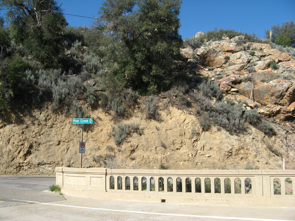
At the west end of the Pine Valley Creek bridge, westbound Historic U.S. 80 meets Pine Creek Road. Photo taken 04/29/07. |
Page Updated April 24, 2013.