| U.S. 395 north |
|
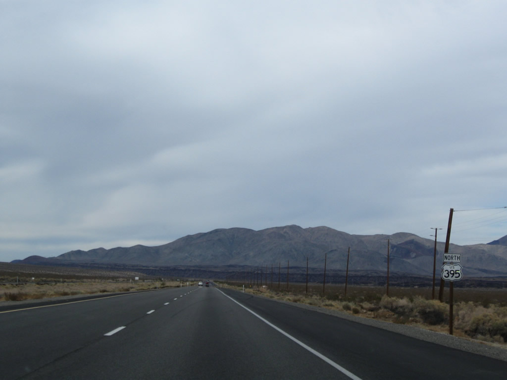
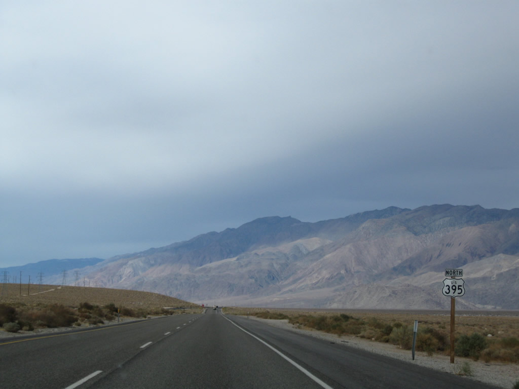
The first U.S. 395 north reassurance shield in Inyo County is posted after leaving Pearsonville. Photo taken 11/10/08. |
|
Northbound U.S. 395 approaches Inyo County J-41 (Nine Mile Canyon Road) west to Sherman Pass and Kennedy Meadows. There are no Inyo County J-41 shields posted on U.S. 395. Photo taken 11/10/08. |
|
This mileage sign provides the distance to Coso Junction (15 miles), California 190 (32 miles), and U.S. 6/Bishop (112 miles). Photo taken 11/10/08. |
|
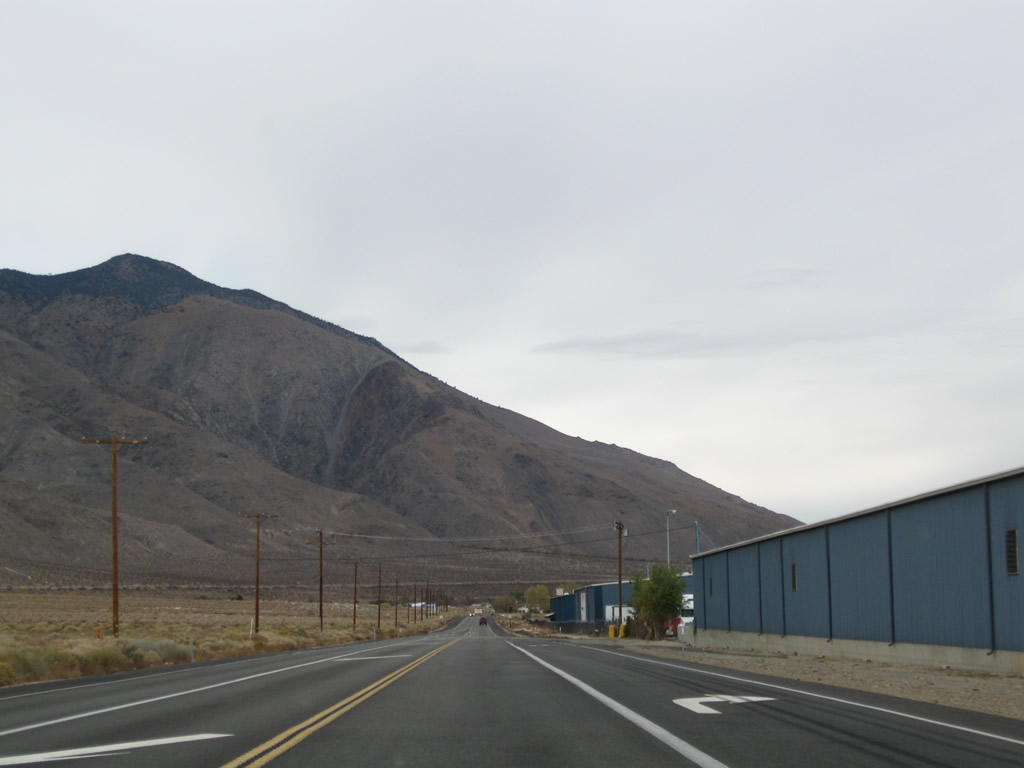
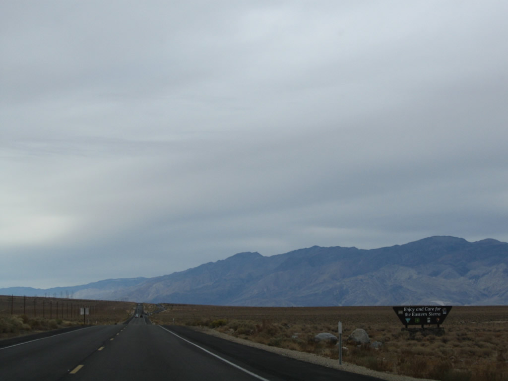
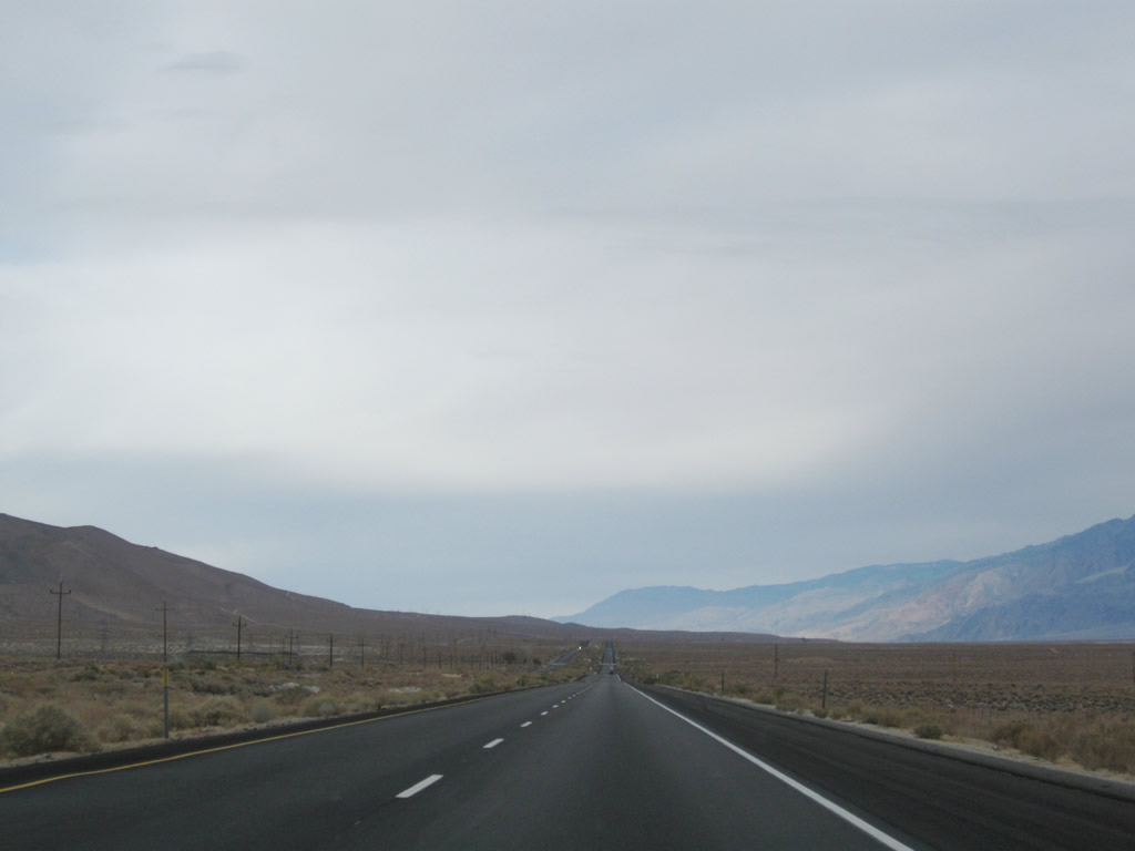
As we continue north, the terrain markedly changes. Leaving behind the rolling and flat expanse of Mojave Desert, U.S. 395 enters the Eastern Sierra. Photo taken 11/10/08. |
|
|
|
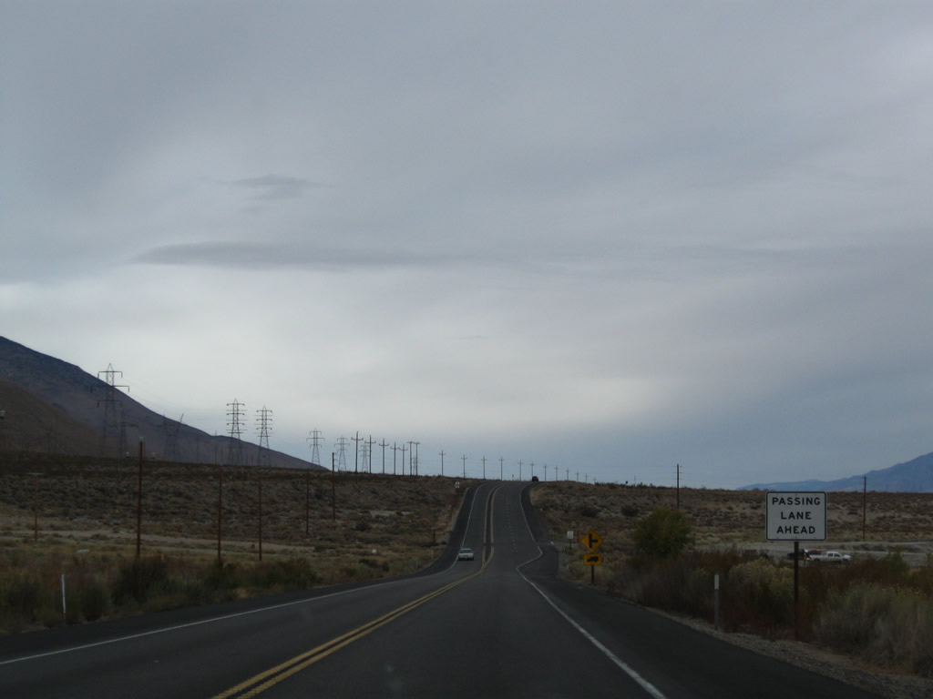
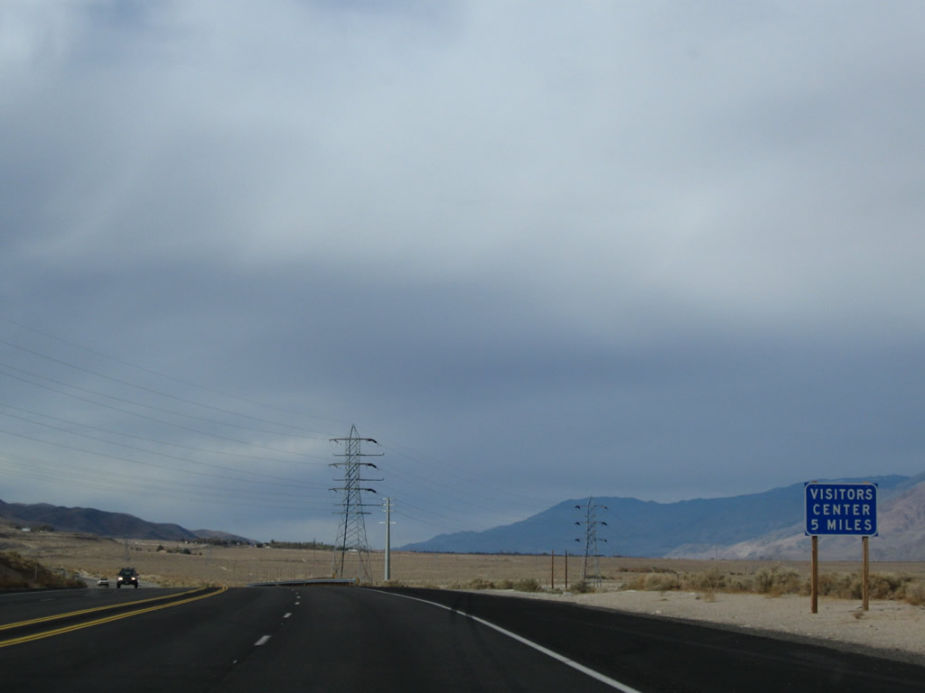
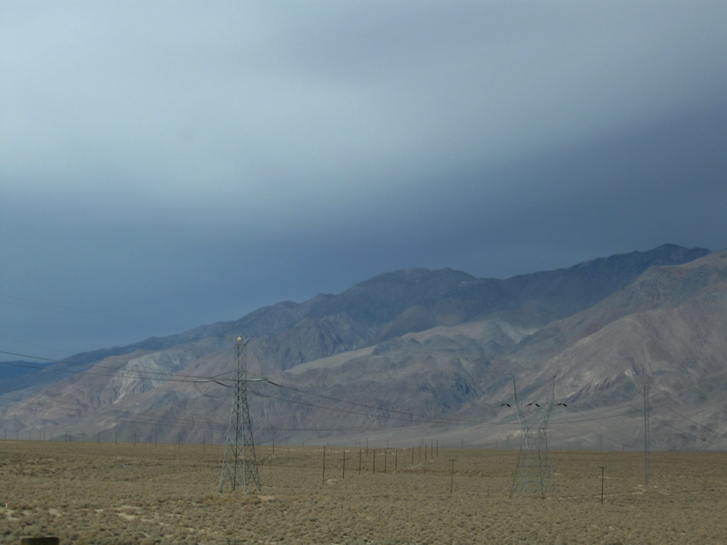
U.S. 395 passes under a pair of Los Angeles Department of Water and Power lines. The line on the left is part of Path 65 (Pacific DC Intertie), which carries electricity from Celilo Substation in Oregon south to Los Angeles. The line brings power generated at hydroelectric power plants along the Columbia River south through Oregon, Nevada, and the Eastern Sierra to terminate at the Sylmar Substation near the confluence of Interstate 5 and Interstate 210 in Los Angeles. Parallel to Path 65 is a shorter yet still very long power line that follows the Owens River, bringing hydroelectric power from the Owens Valley south to Los Angeles. Photos taken 11/10/08. |
|
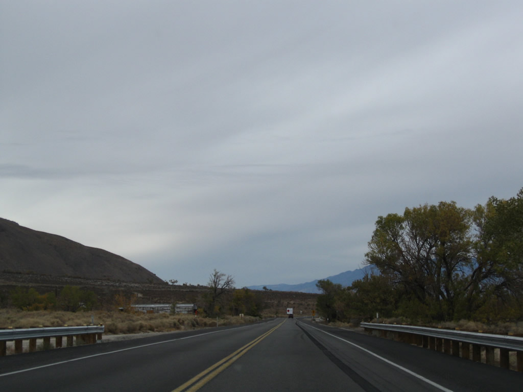
Gaining elevation, U.S. 395 will leave the Mojave Desert and start its ascent toward Bishop and Mammoth Lakes. Before reaching Reno, U.S. 395 will see some significant heights. Photo taken 11/10/08. |
|
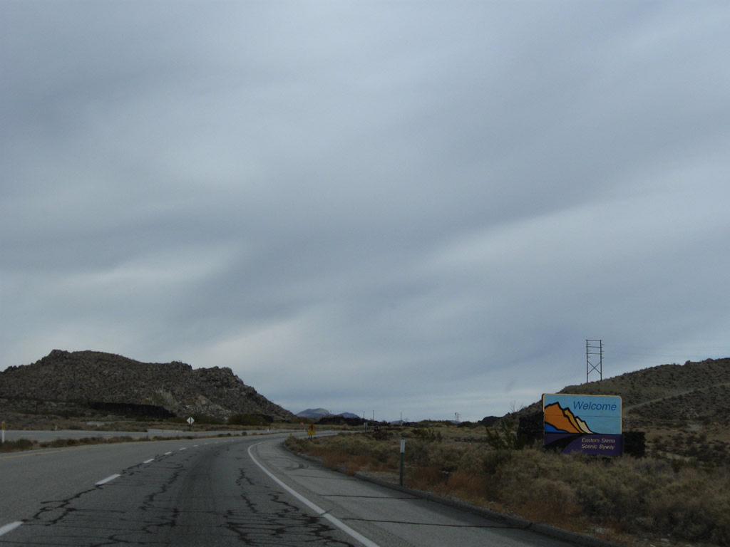
U.S. 395 from Pearsonville to Topaz Lake (California-Nevada state line) is known as the Eastern Sierra Scenic Byway. Ahead, U.S. 395 enters the Rose Valley. Photo taken 11/10/08. |
|
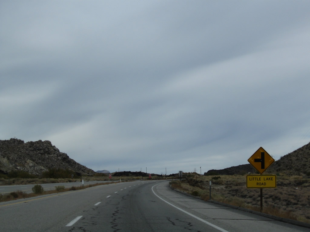
Northbound U.S. 395 approaches Little Lake Road; turn left here to the settlement of Little Lake along an old alignment of U.S. 395. Not many services are available here. Photo taken 11/10/08. |
|
An older set of power lines parallel U.S. 395. Little Lake Road rejoins U.S. 395 on the left. To the right of the highway is Little Lake itself. Photo taken 11/10/08. |
|
This mileage sign along U.S. 395 north provides the distance to Coso Junction (eight miles), Olancha (California 190, 25 miles), and Bishop (U.S. 6, 106 miles). Photo taken 11/10/08. |
|
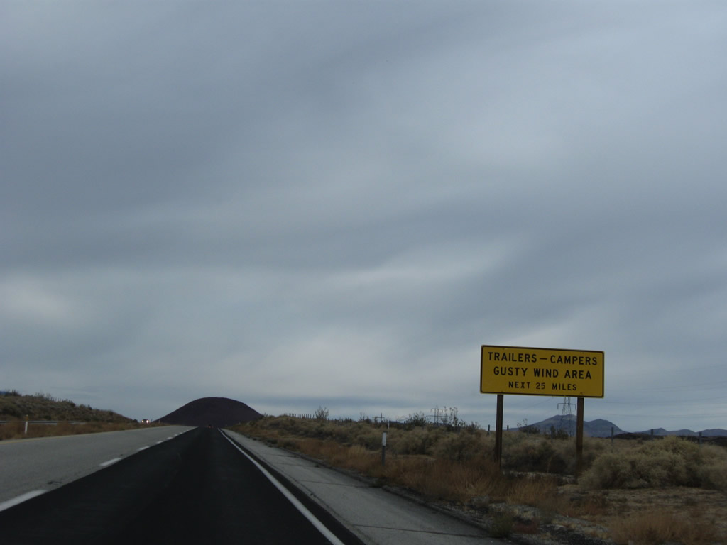
For the next 25 miles, gusty winds are likely. Watch your speed and be mindful of passing trucks and cars with trailers. Photo taken 11/10/08. |
|
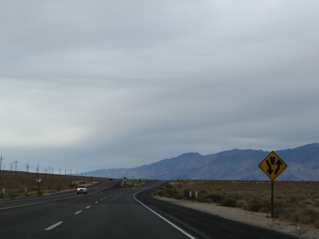
U.S. 395 is an expressway through the area between Little Lake and Coso Junction Rest Area. Basalt volcanic formations are visible on either side of the highway. Photo taken 11/10/08. |
|
The Coso Junction Rest Area is located five miles ahead. Photo taken 11/10/08. |
|
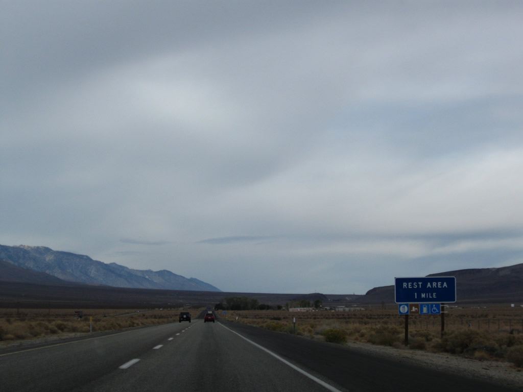
Northbound U.S. 395 approaches the Coso Junction Rest Area (one mile). The rest area includes rest rooms, water, gas, and food. Photo taken 11/10/08. |
|
A one-half mile advance sign for the rest area is posted shortly thereafter. This rest area serves both northbound and southbound travelers; an at-grade intersection allows for the connection from either direction to the rest stop. Photo taken 11/10/08. |
|
The next right connects northbound U.S. 395 with the Coso Junction Rest Area. Photo taken 11/10/08. |
|
This mileage sign along U.S. 395 (Three Flags Highway) north provides the distance to Olancha (California 190, 17 miles), Lone Pine (40 miles), and Bishop (98 miles). Photo taken 11/10/08. |
|
|
|
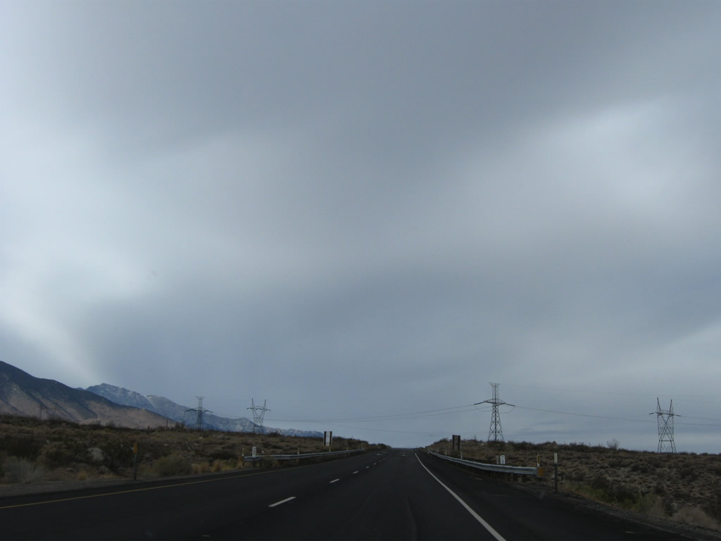
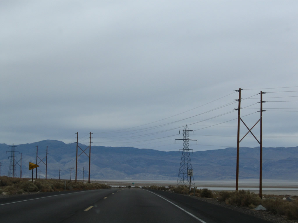
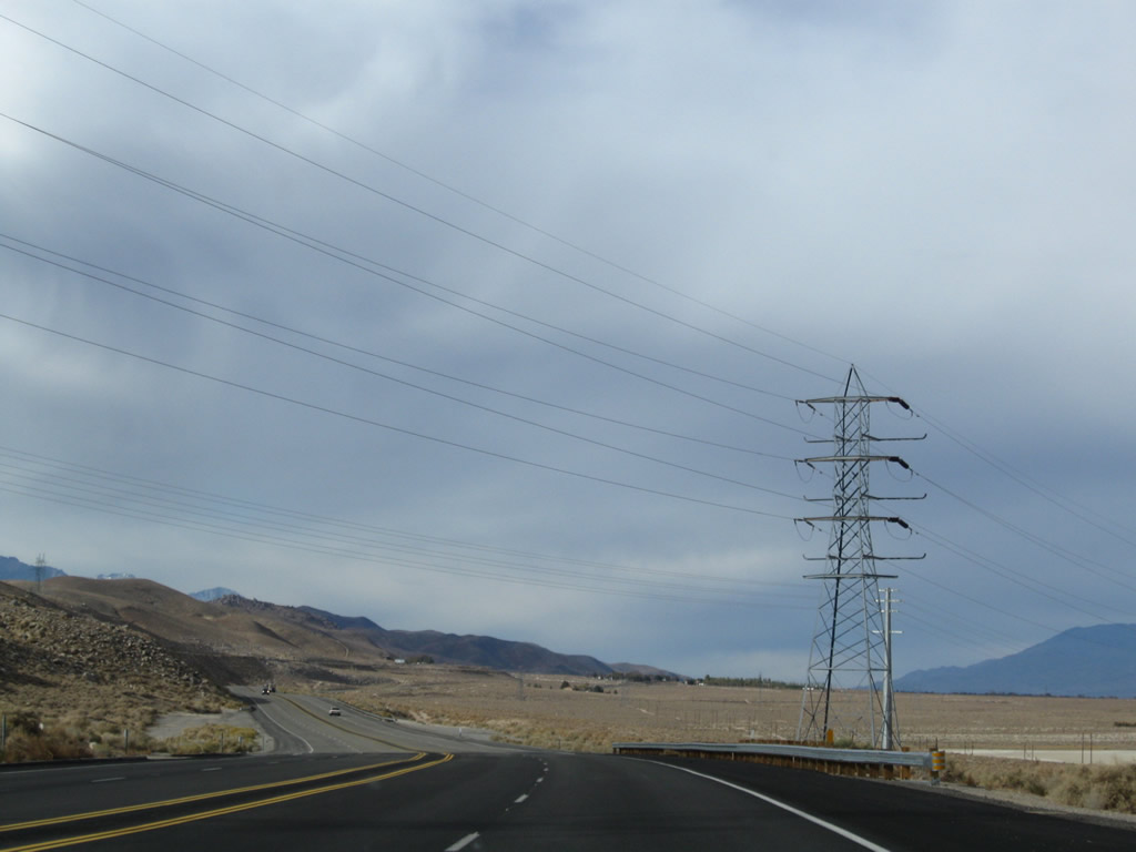
U.S. 395 passes under the Path 65 high voltage direct current power line again, along with the LADWP 230kV, single-circuit power line. Photos taken 11/10/08. |
|
|
|
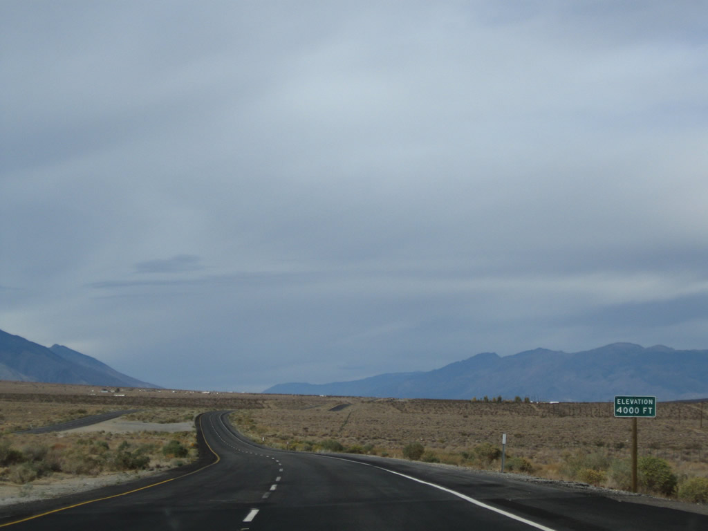
U.S. 395 continues to gain elevation and reaches 4,000 feet. Photos taken 11/10/08. |
|
|
|
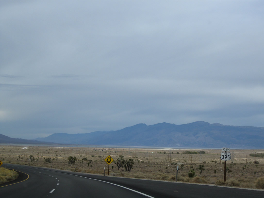
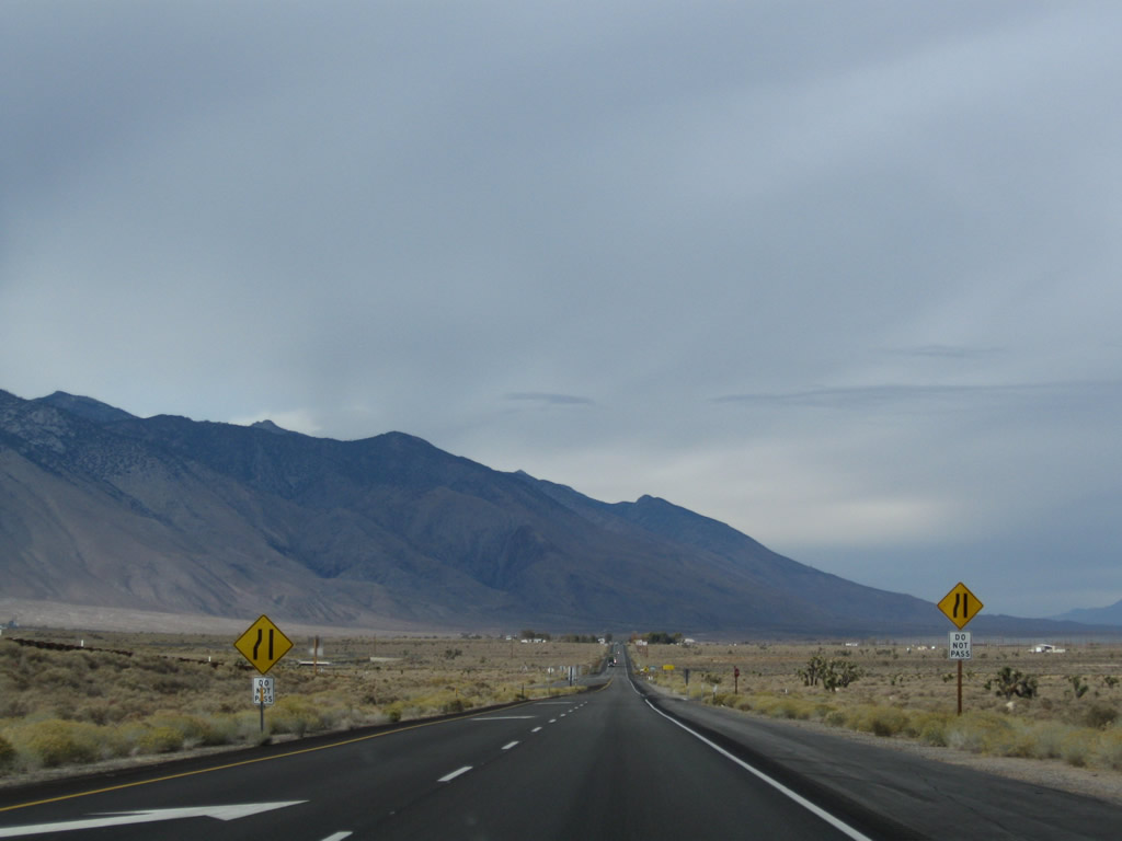
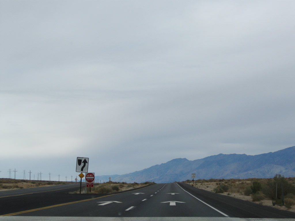
A U.S. 395 north reassurance shield is posted prior to the point where the four-lane expressway reduces to two lanes. Photos taken 11/10/08. |
|
|
|
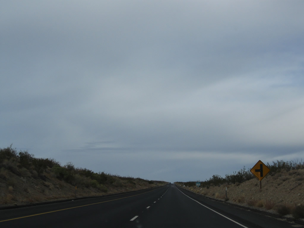
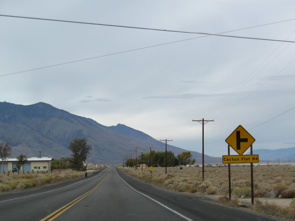
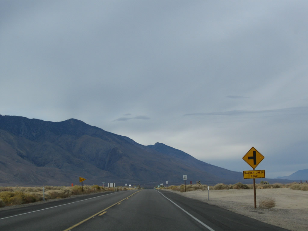
Continuing north, U.S. 395 approaches Olancha, passing by Cactus Flat Road and Walker Creek Road. Photos taken 11/10/08. |
|
|
|
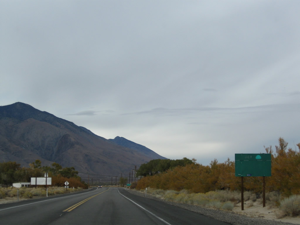
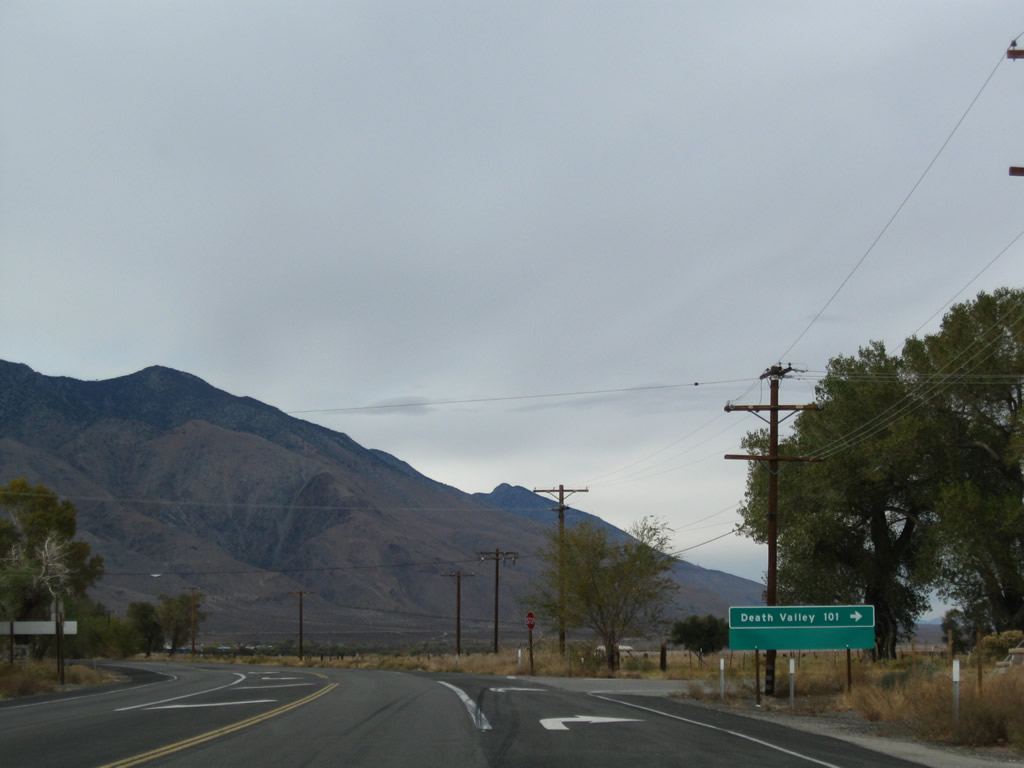
In Olancha (population 134 as of 2000 Census), U.S. 395 approaches and meets California 190 at the southern end of the Owens Valley. California 190 is a major east-west highway that connects U.S. 395 with California 127 via Death Valley National Park; turn right to follow California 190 east into Death Valley. The intersection between U.S. 395 and California 190 is located at the southern end of massive Owens Lake; waters in the lake were diverted into the Los Angeles Aqueduct en route to Southern California. Photos taken 11/10/08. |
|
|
|
|
This mileage sign along U.S. 395 (Three Flags Highway) north provides the distance to Lone Pine (22 miles), Independence (38 miles), and Bishop (79 miles). Photo taken 11/10/08. |
|
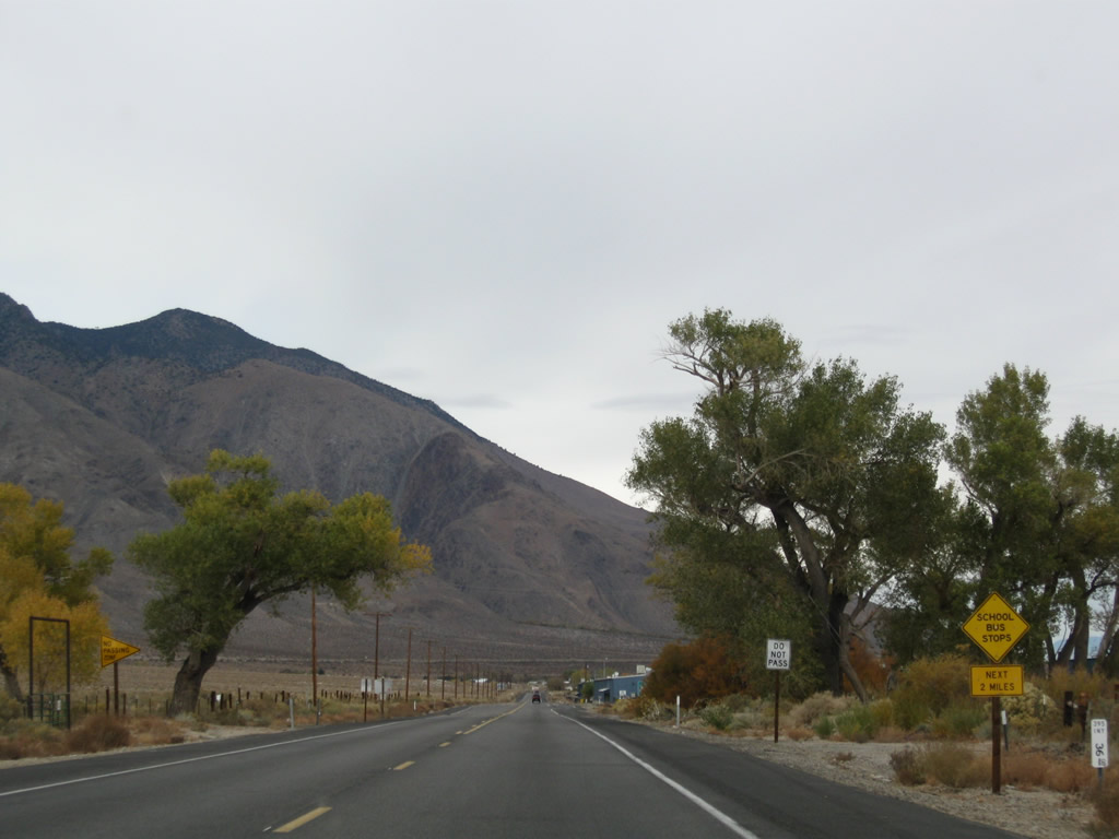
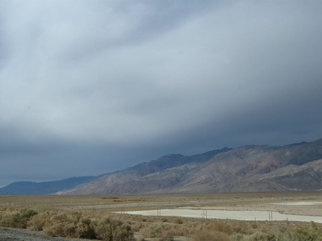
The towering eastern slope of the Sierra Nevada contrasts with the Owens Valley. From here north, U.S. 395 will closely parallel the Owens River. Photo taken 11/10/08. |
|
|
|
Continuing north, U.S. 395 passes by the massive Crystal Geyser Alpine Spring Water Olancha facility. Water is trucked from this facility to the points of distribution for Crystal Geyser water (primarily in Southern California). Photo taken 11/10/08. |
|
Immediately thereafter, U.S. 395 north enters the unincorporated community of Cartago. Located on the west side of Owens Lake, Cartago sits at an elevation of 3,629 feet and had a population of 109 people as of the 2000 Census. Photo taken 11/10/08. |
|
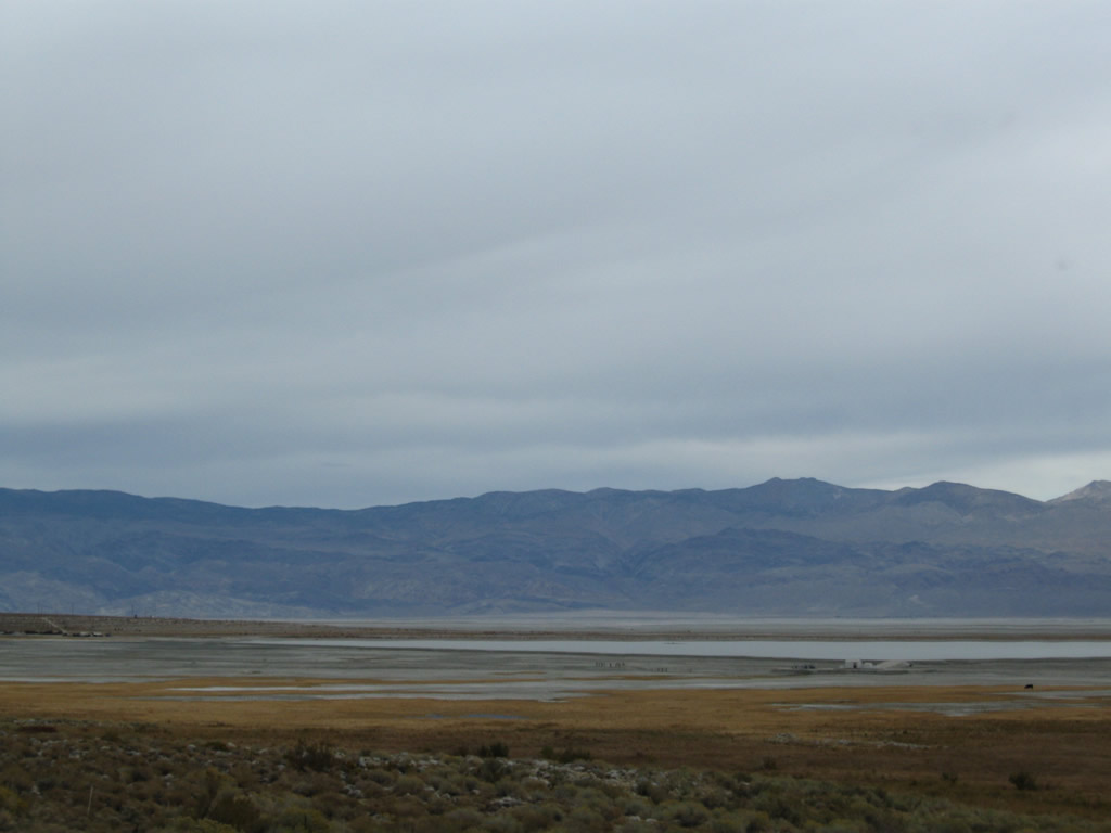
A set of Los Angeles Department of Water and Power powerlines cross over U.S. 395 at this point. To the east of here is mostly dry Owens Lake, which must be kept wet to prevent dust storms but has not functioned as a lake since 1924, when the city of Los Angeles diverted water from Owens Lake into the Los Angeles Aqueduct. Today, most of the lake appears dry from a distance. Portions of the lake are visible from the highway. Photos taken 11/10/08. |
|
|
|
|
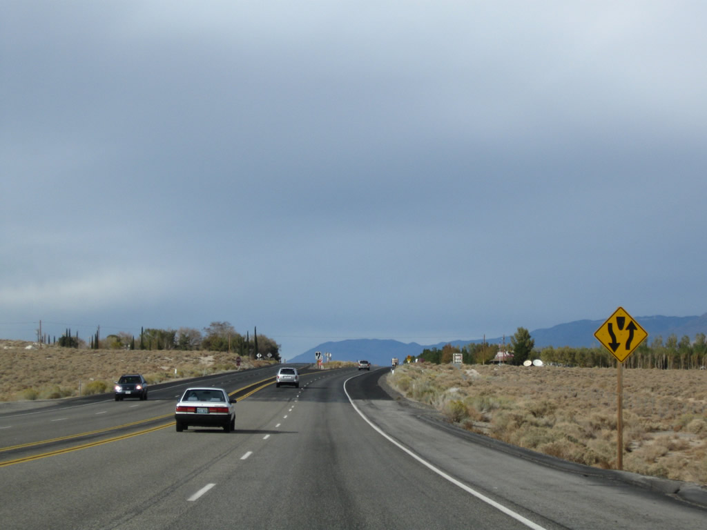
| U.S. 395 widens briefly to three lanes, then sees a four-lane divided segment again as the highway continues north along the west side of Owens Lake. The dry lake comes into view several times as U.S. 395 proceeds north. Photo taken 11/10/08. |
|
|
|
|
|
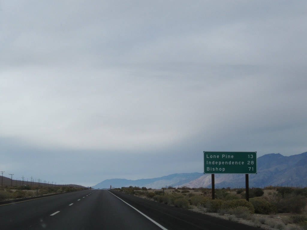
This mileage sign provides the distance to Lone Pine (13 miles), Independence (28 miles), and Bishop (71 miles). The four-lane segment of U.S. 395 continues north through Lone Pine, and a new four-lane segment through Independence opened in late 2009/early 2010. Photo taken 11/10/08. |
|
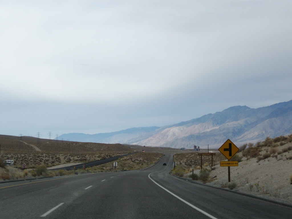
Ahead on the right is a historical marker for Cottonwood Charcoal Kilns. Photo taken 11/10/08. |
|
Northbound U.S. 395 approaches Cottonwood Road. Owens Lake again comes into view on the right (east) side of the highway. Photo taken 11/10/08. |
|
|
|
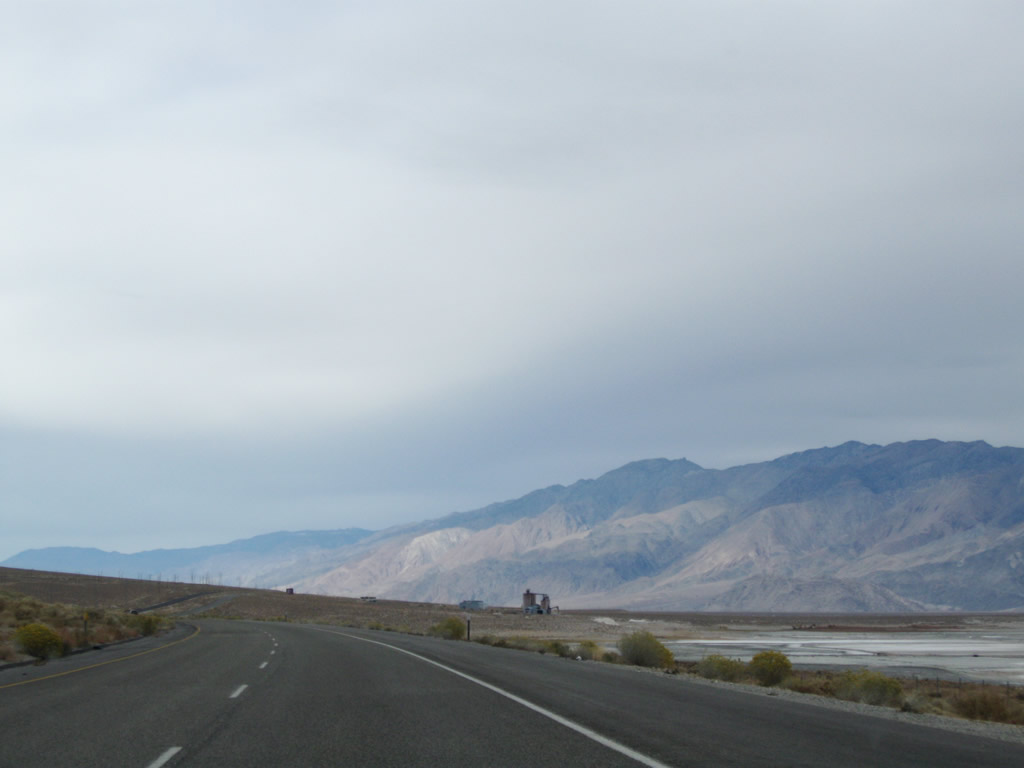
This series of photos follows U.S. 395 / Three Flags Highway (Former U.S. 6 / Grand Army of the Republic Highway) north along the west shore of Owens Lake. The highway retains four lanes, even as the expressway segment reverts to a conventional four-lane highway. Photos taken 11/10/08. |
|
|
|
|
|
|
|
|
|
The four-lane section of U.S. 395 continues north toward California 136 and Lone Pine. A visitors center is five miles ahead (at the intersection with California 136 in Lone Pine). On the west side of the highway, the Alabama Hills rise from Owens Valley. These short hills have a volcanic history and rise to a lower elevation than the nearby Sierra Nevada further to the west. The Alabama Hills are protected by the federal Bureau of Land Management, and access to the hills is afforded from Lone Pine to the north. The Alabama Hills provide picturesque views to the west of U.S. 395. Sites include volcanic hills, eroded granite formations and a rock arch or two. Photos taken 11/10/08. |
| |
|
|
|
|
Path 65 (the 500kV Pacific Intertie) is a High Voltage Direct Current line that originates at Celilo Substation (near The Dalles, Oregon off Interstate 84 and close to the Columbia River's wealth of hydroelectric power). This portion of the Pacific Intertie is operated by the Los Angeles Department of Water and Power. The Pacific Intertie travels south from Celilo through Nevada and California to its southern terminus in Sylmar in Los Angeles. U.S. 395 first encountered Path 65 at the California 14 interchange and sees the lines cross U.S. 395 here. Path 65 will parallel U.S. 395 north to Bishop, then turn away into rural Nevada. A parallel 230kV power line also carries power south to Los Angeles from local power generating facilities in the Owens Valley. Photos taken 11/10/08. |
|
|
|
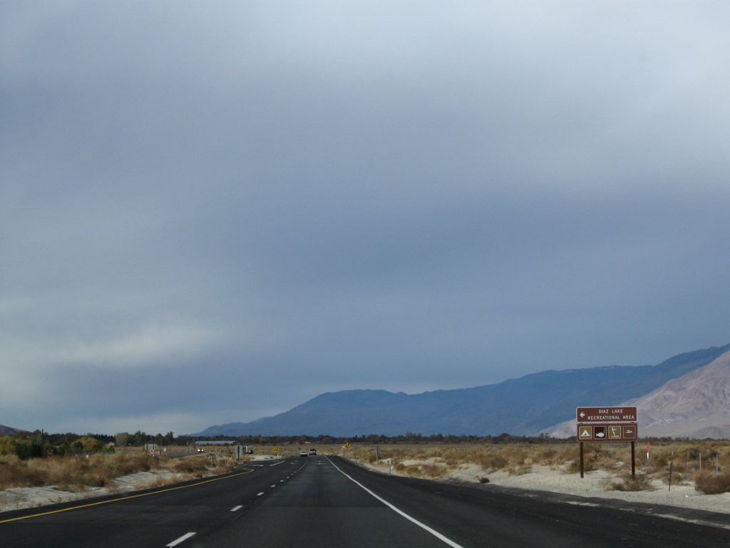
U.S. 395 approaches Boulder Creek RV Resort at the intersection with Lubken Canyon Road. Use Lubken Canyon Road west to Horseshoe Meadows Road. Continuing north, the second left connects to Diaz Lake Recreation Area, which offers camping, swimming, and fishing. Photos taken 11/10/08. |
|
Northbound U.S. 395 approaches California 136, which travels southeast along the north and east shores of Owens Lake before meeting California 190. At their junction, California 190 then continues east into Death Valley National Park. Photo taken 11/10/08. |
|
A stylized entrance sign welcomes visitors to the unincorporated community of Lone Pine, the largest community along U.S. 395 since leaving Ridgecrest in the northern Mojave Desert. Home to 1,655 people as of the 2000 Census, Lone Pine sits at an elevation of 3,727 feet in the Owens Valley near the Alabama Hills. Access to hike Mount Whitney, the highest point in California and the Lower 48 States, can be had by traveling west from Lone Pine along Loma Portal Road. Photo taken 11/10/08. |
|
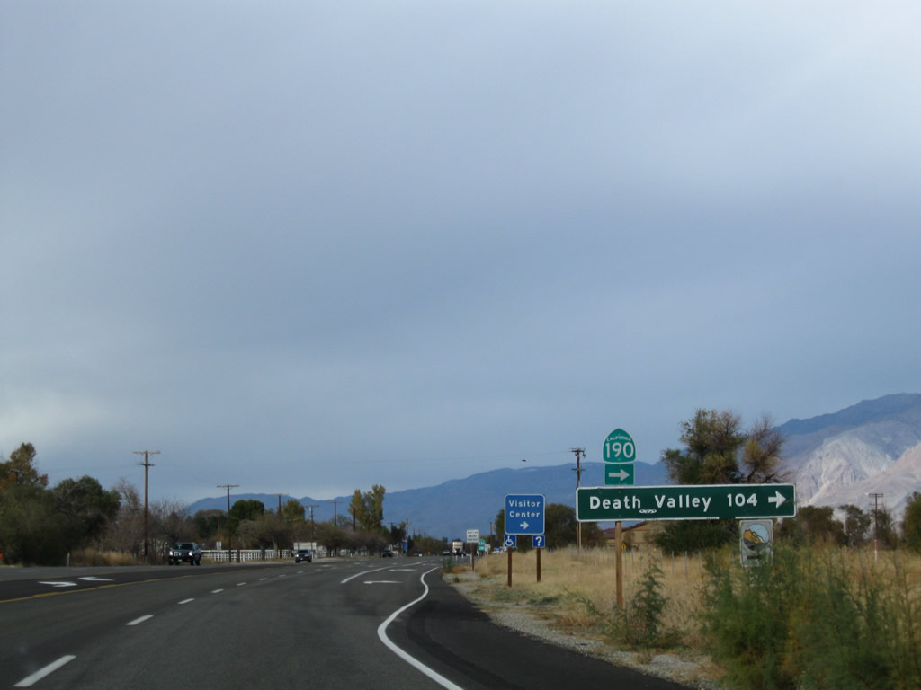
The next right connects U.S. 395 to California 136, a short state route that links Lone Pine with California 190 and the journey west to Death Valley National Park. Since California 136 is basically a link route that has no significant cities along it, this mileage sign lists the route number as California 190 and shows the distance to Death Valley as 104 miles. Photo taken 11/10/08. |
|
A welcome center for the Eastern Sierra is located at the intersection between U.S. 395 and California 136 in Lone Pine. Maps, brochures, restrooms, and telephones are available here. Photo taken 11/10/08. |
|
A final trailblazer shows California 136 rather than California 190. Turn right here for California 136 southeast to wrap around the northern edge of Owens Valley to join California 190 east to Death Valley. Continue straight ahead to follow U.S. 395 north to downtown Lone Pine. All motorist services are available in Lone Pine. Turn right onto California 136 briefly for the entrance to the visitors center. Photo taken 11/10/08. |
Page Updated March 21, 2010.