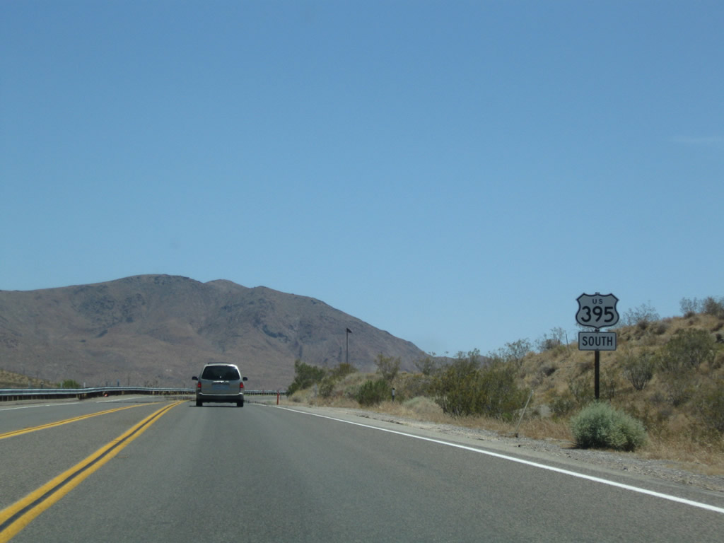
| U.S. 395 south |
|
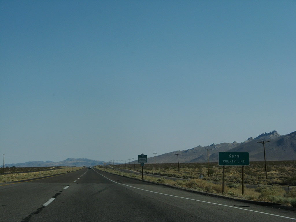
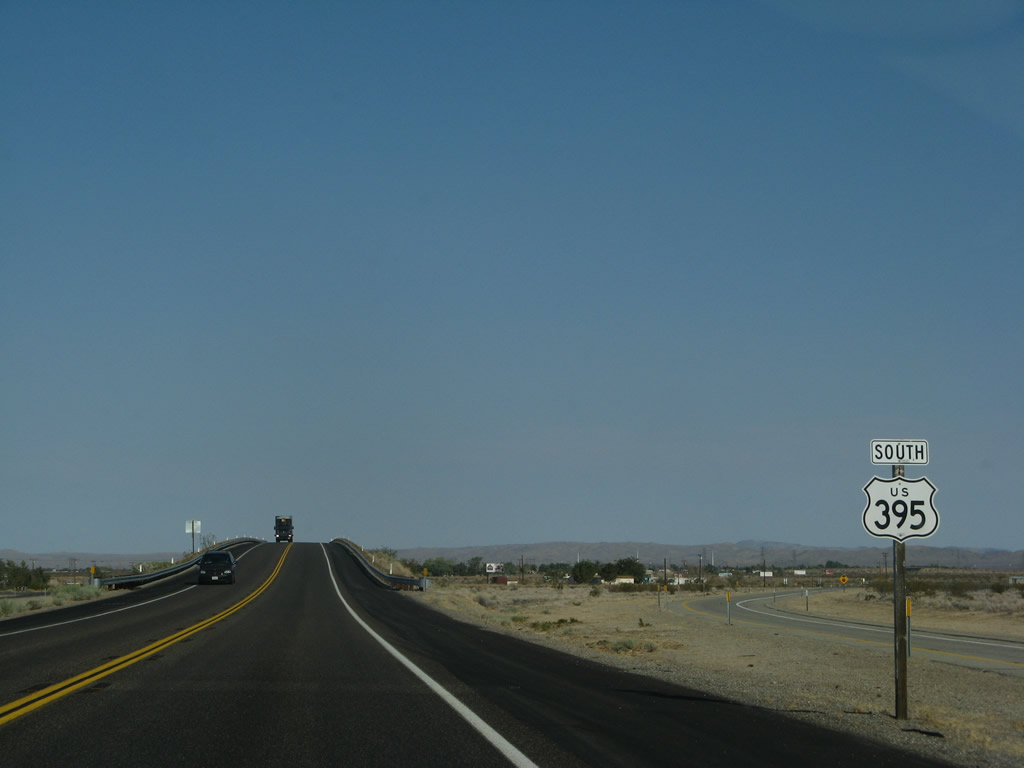
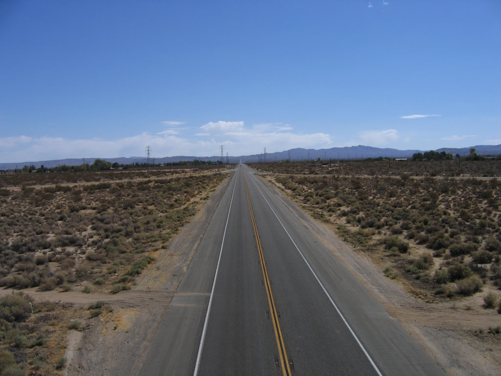
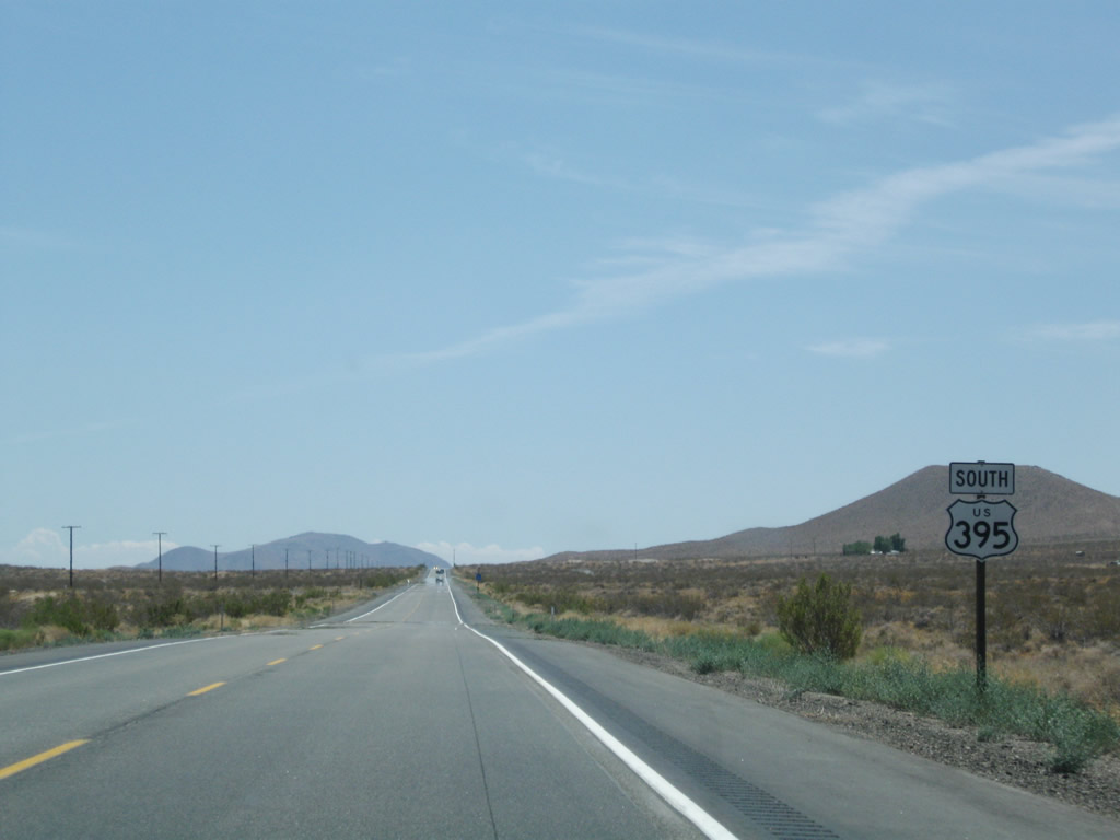
The Inyo-Kern County line passes through this intersection; U.S. 395 leaves Inyo County and enters Kern County. U.S. 395 remains a four-lane expressway for the distance from Pearsonville south to the California 14 split. Photo taken 07/09/07. |
|
Southbound U.S. 395 approaches Brown Road, which is an old alignment of U.S. 395. This old alignment stays east of U.S. 395 until south of the California 14 split, then passes under the Super Two segment of U.S. 395 before entering downtown Inyokern. The old alignment rejoins U.S. 395 at the southern end of the Ridgecrest business route. Photo taken 07/09/07. |
|
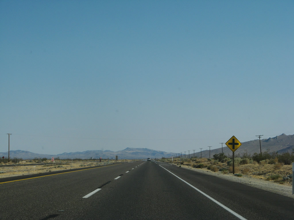
Southbound U.S. 395 approaches Grapevine Canyon Road west and Neal Ranch Road east. Photo taken 07/19/09. |
|
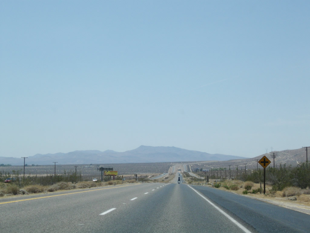
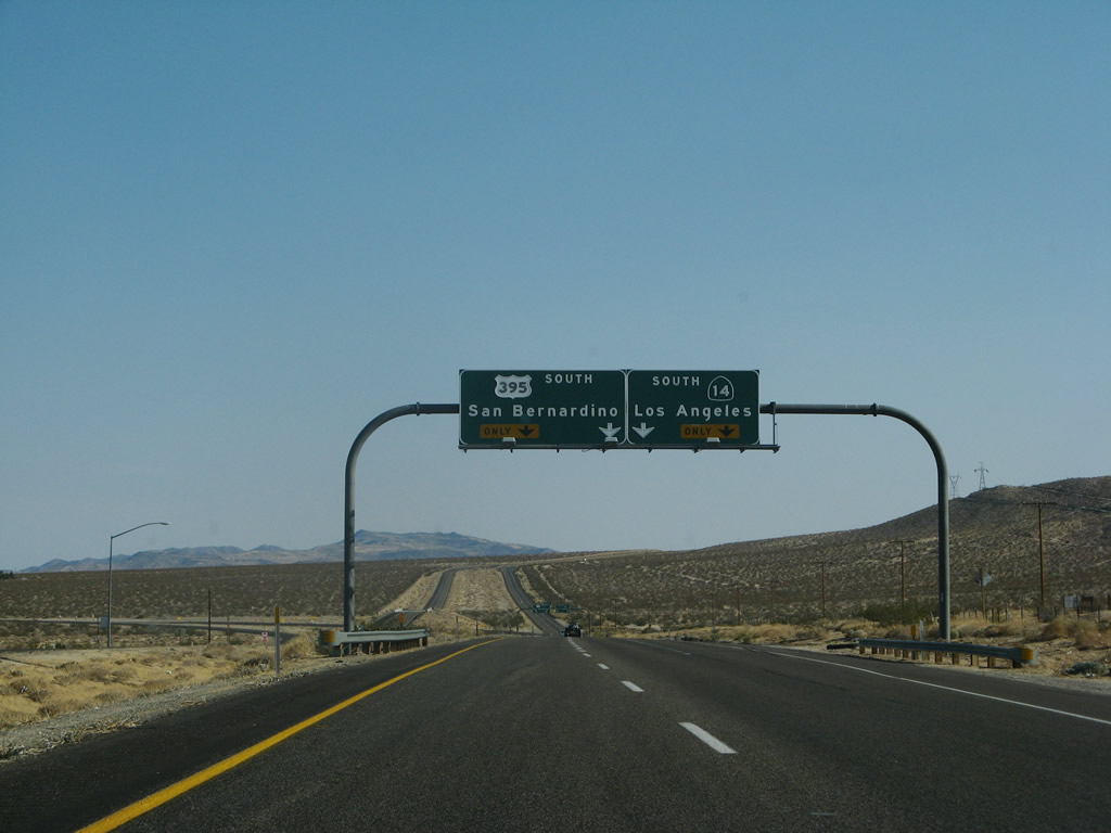
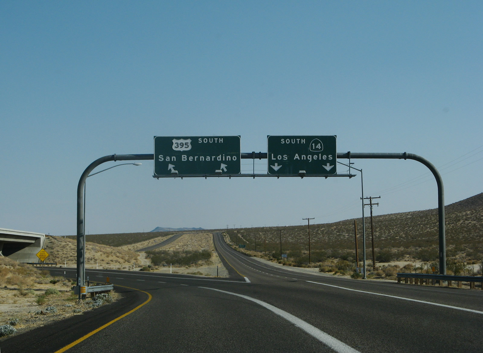
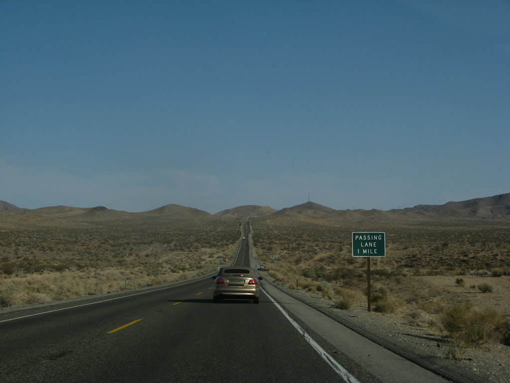
The next at-grade intersection along U.S. 395 south and U.S. 6 west is with Leliter Road. In the distance ahead is Exit 101, the split between U.S. 395 (Three Flags Highway) south to San Bernardino and San Diego and California 14, which follows Historic U.S. 6 (Grand Army of the Republic Highway, Midland Trail, Theodore Roosevelt Highway) south to Los Angeles and ultimately Long Beach. Photo taken 07/19/09. |
|
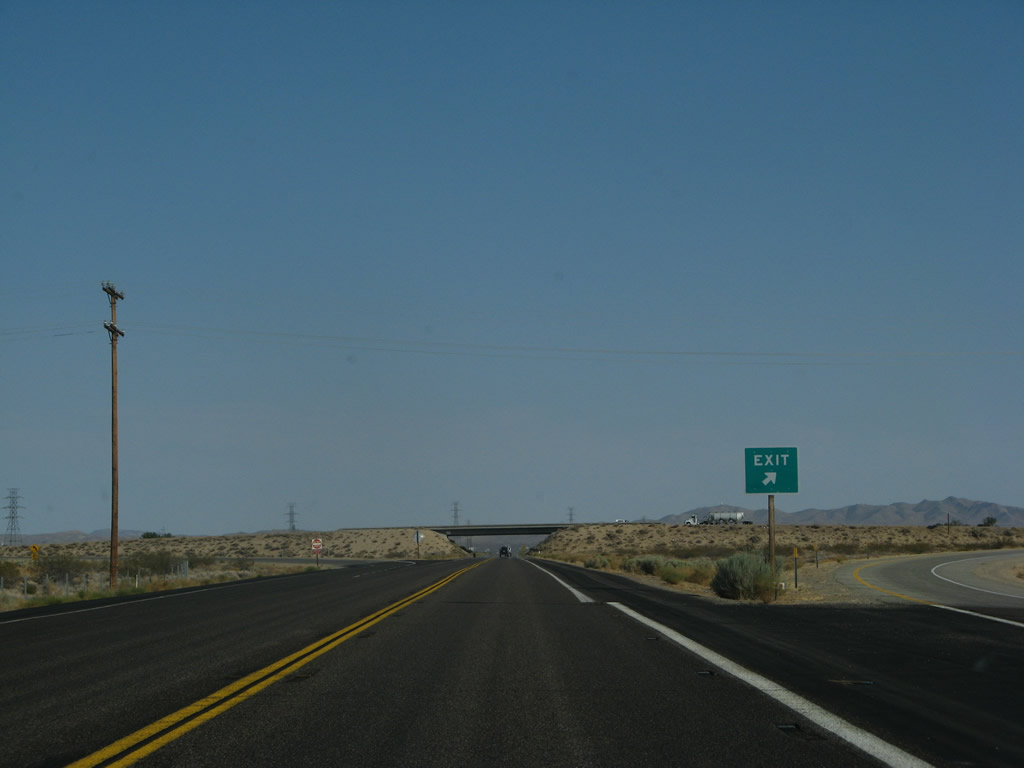
Immediately thereafter, U.S. 395 south and California 14 south prepare to split. Stay left for U.S. 395, which will turn southeast toward Ridgecrest; stay right for California 14 south to Mojave, Lancaster, Santa Clarita, and Los Angeles. While this interchange was built as freeway to freeway, neither U.S. 395 nor California 14 are freeway south of this point. They both revert to expressway status, with U.S. 395 becoming a Super Two. California 14 also reverts to two lanes between here and Mojave. South of Mojave, California 14 is entirely freeway. Photo taken 07/09/07. |
|
Southbound U.S. 395 reaches Exit 101, California 14 south. U.S. 395 will travel southeast toward Ridgecrest, then aim south to Kramers Junction (Four Corners), Adelanto, and Hesperia, where it merges into Interstate 15 at the southern terminus. California 14 takes a more southerly route along Historic U.S. 6 toward Mojave, Lancaster, Santa Clarita, and Los Angeles. While California 14 ends at Interstate 5, Old U.S. 6 proceeds south along San Fernando Road toward downtown Los Angeles and from there south to Long Beach, the western terminus of the long U.S. highway. Photo taken 07/09/07. |
|
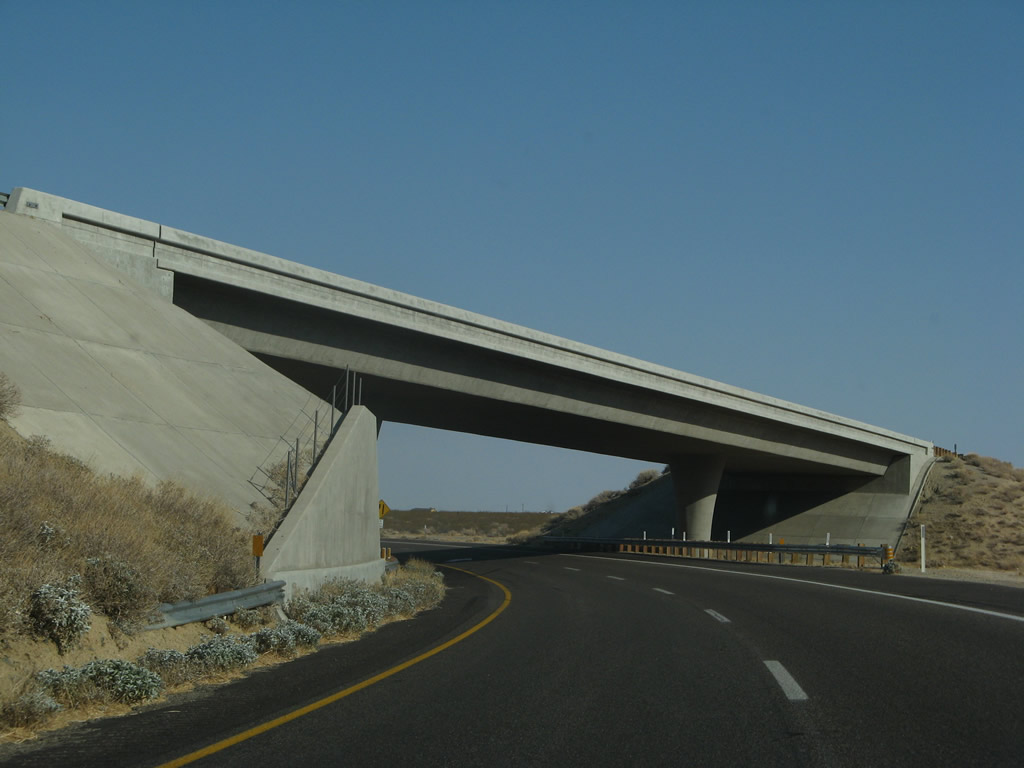
After the Exit 101 split, the southbound lanes of U.S. 395 pass under the northbound lanes of California 14. Photo taken 07/09/07. |
|
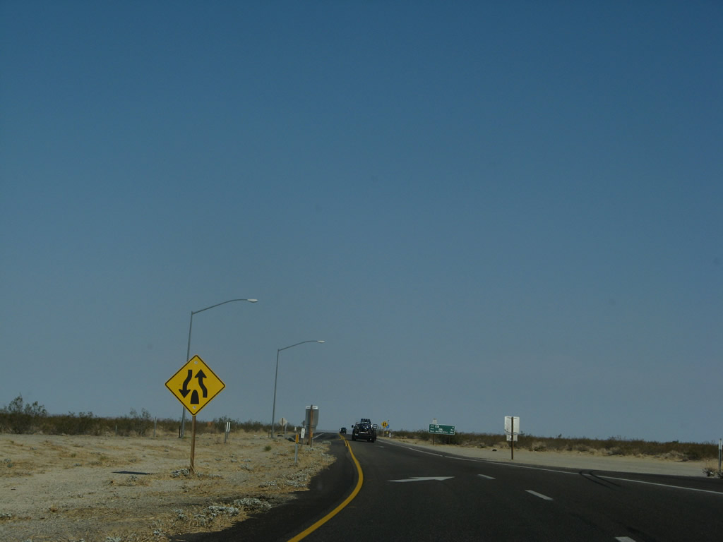
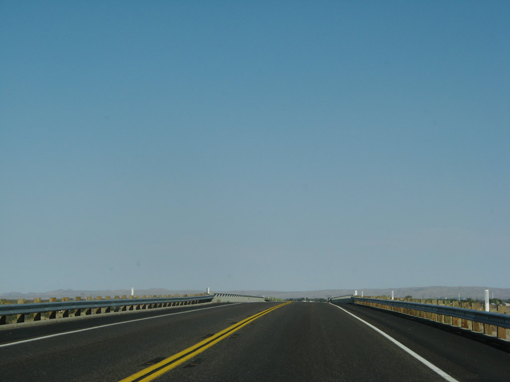
Almost immediately after passing under the northbound lanes of California 14, U.S. 395 reduces to one southbound lane. The divided highway also ends. Photo taken 07/09/07. |
|
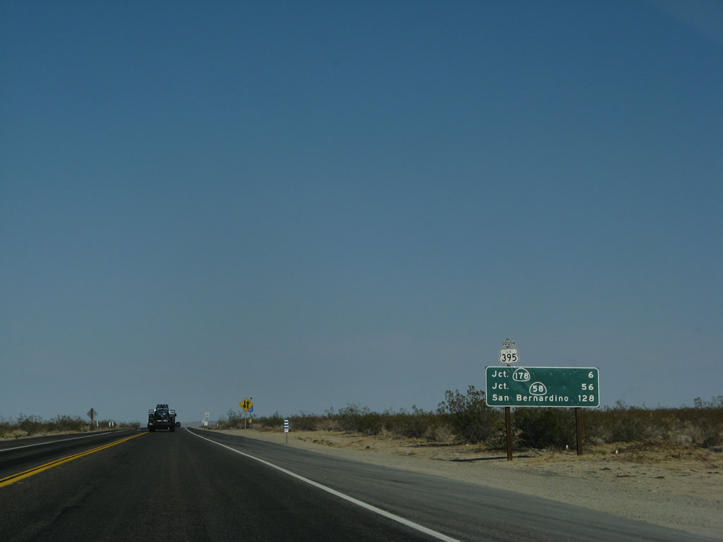
This mileage sign provides the distance to California 178 and U.S. 395 Business to Ridgecrest and Inyokern, six miles; California 58 in Four Corners (Kramers Junction), 56 miles; and San Bernardino (128 miles). Photo taken 07/09/07. |
|
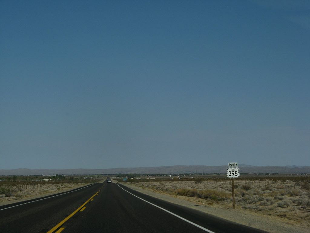
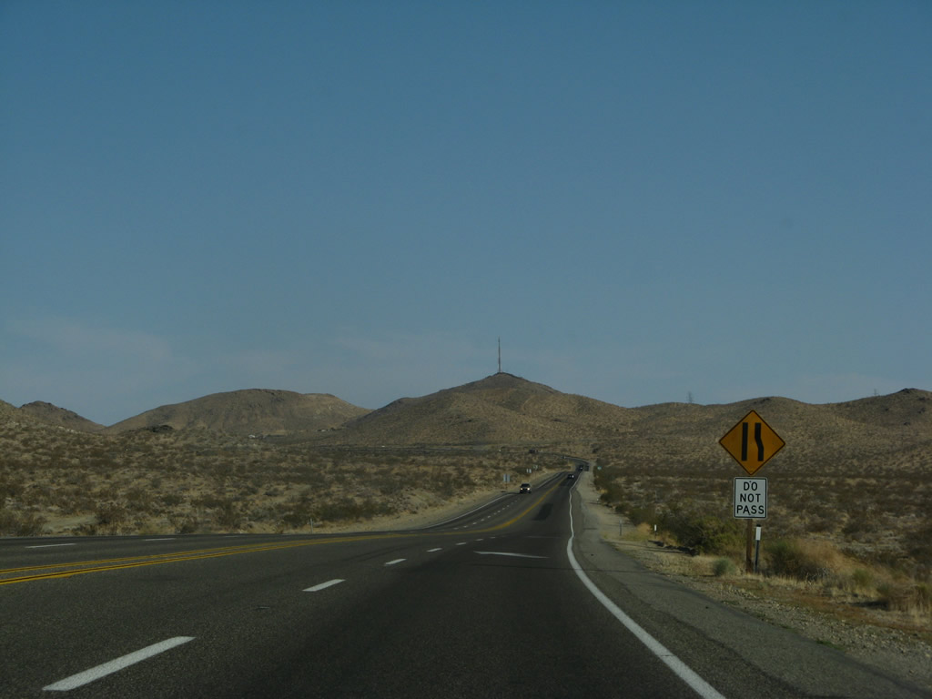
A U.S. 395 south reassurance shield is posted soon after an intersection with Athel Avenue. The highway continues as a two-lane expressway and upgrades to a Super Two (two-lane freeway) prior to the interchange with Brown Road (Old U.S. 395) and California 178. Photo taken 07/09/07. |
|
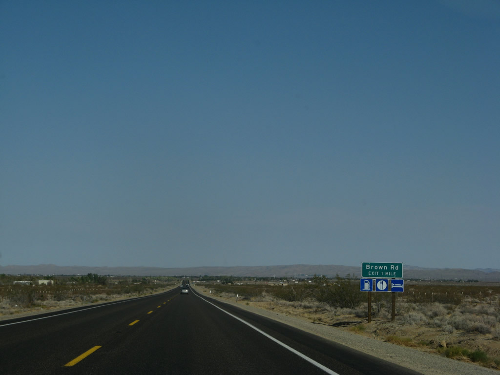
The Super Two begins as U.S. 395 south advances one mile south to Brown Road and Exit 98. Brown Road travels south to the unincorporated community of Inyokern, then rejoins U.S. 395 south of Ridgecrest at the southern U.S. 395 Business intersection. Photo taken 07/09/07. |
|
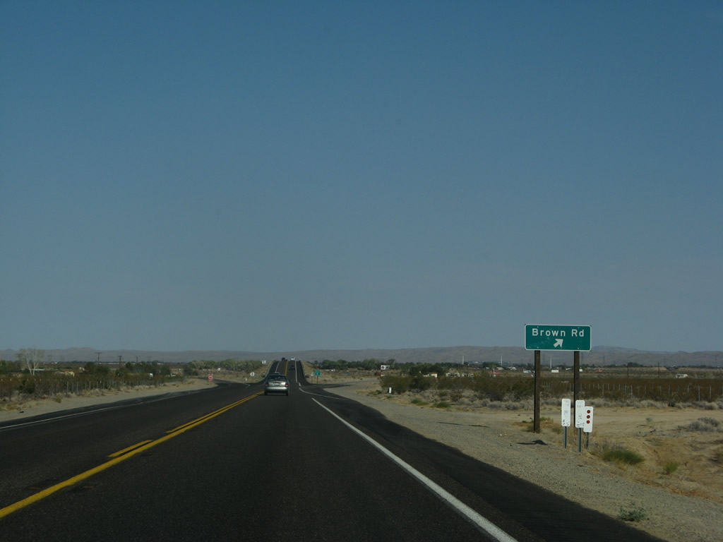
Exit 99 departs U.S. 395 south for Brown Road (old U.S. 395). There is no return access to U.S. 395 south except by traveling south on Brown Road to California 178 east. Photo taken 07/09/07. |
|
This U.S. 395 reassurance shield is posted after the gore point for Exit 99, Brown Road. Ahead the Super Two freeway rises above Brown Road and approaches Ridgecrest. Photo taken 07/09/07. |
|
U.S. 395 passes high above Brown Road, then curves southeast toward the interchange with California 178. Photo taken 07/09/07. |
|
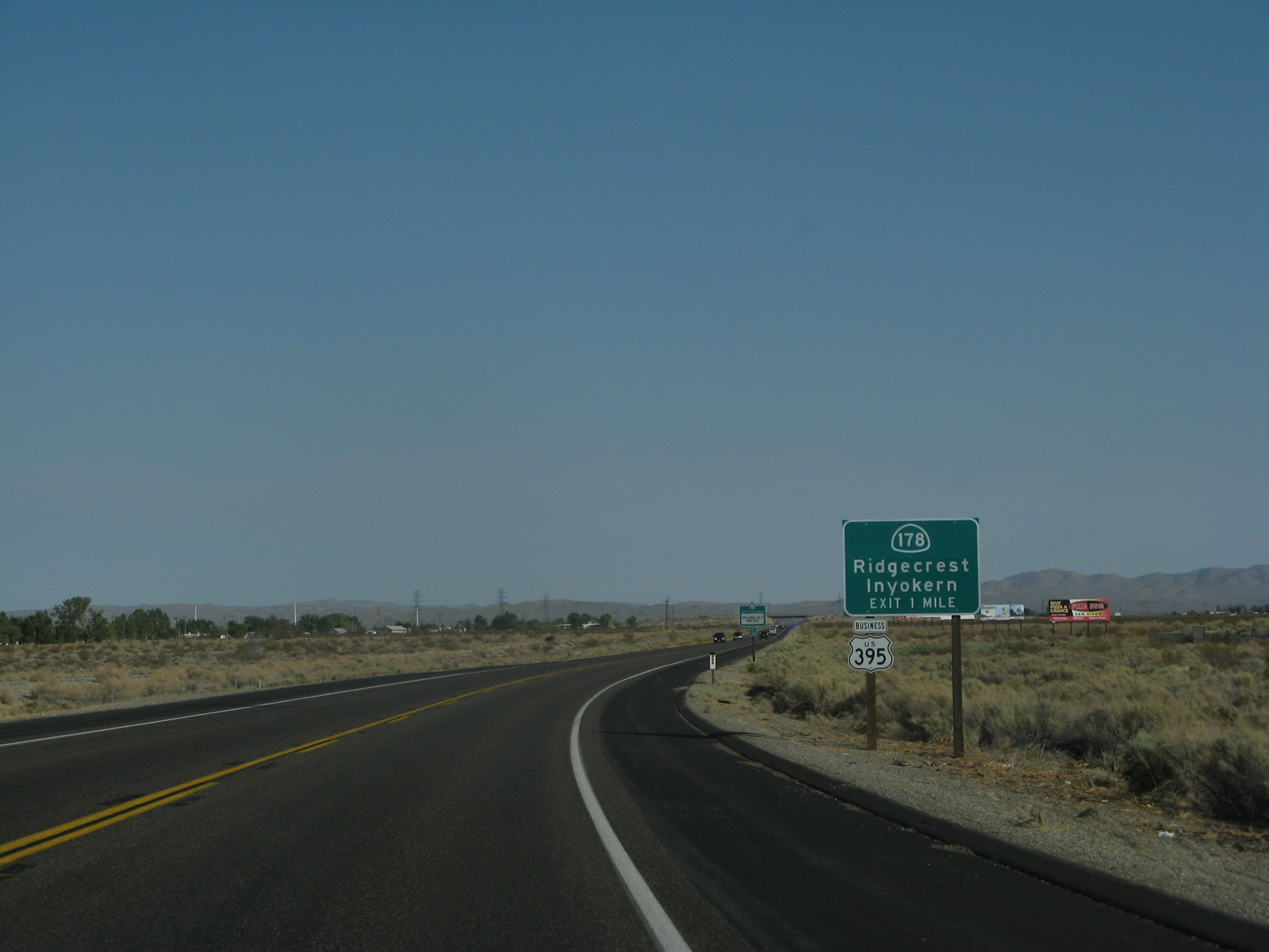
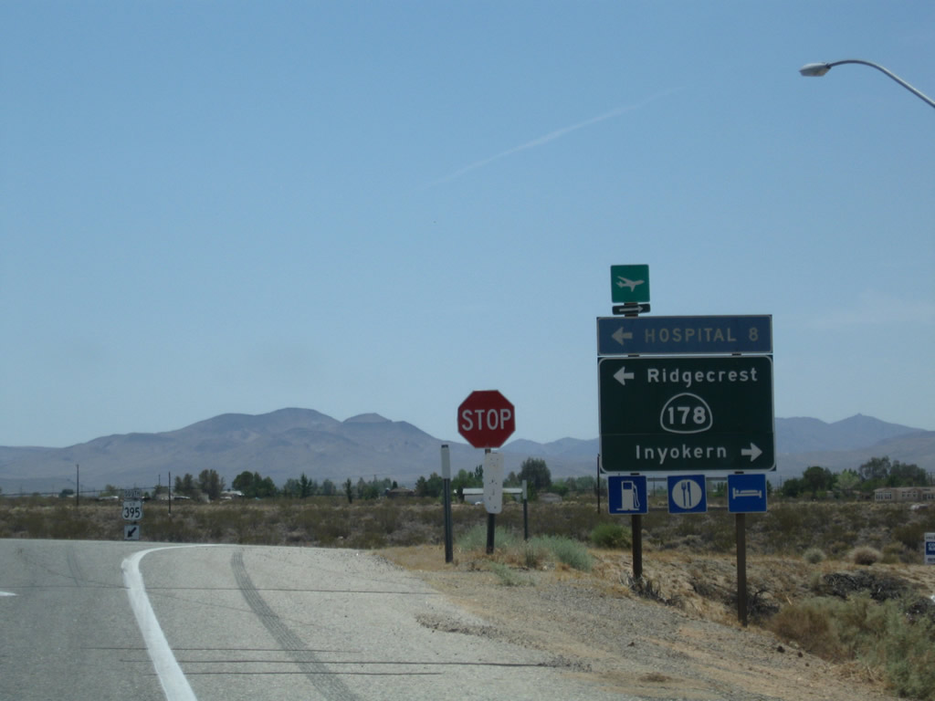
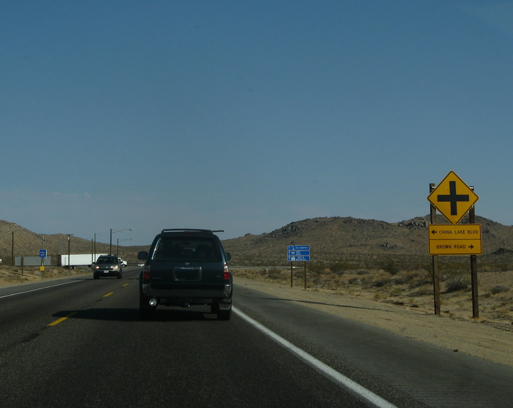
The next exit along U.S. 395 south is Exit 97, U.S. 395 Business and California 178 to Ridgecrest and Inyokern (one mile). Upon exiting, turn left for U.S. 395 Business south and California 178 east to Ridgecrest and Trona. Turn right for California 178 to Inyokern and Brown Road (old U.S. 395). Photo taken 07/09/07. |
|
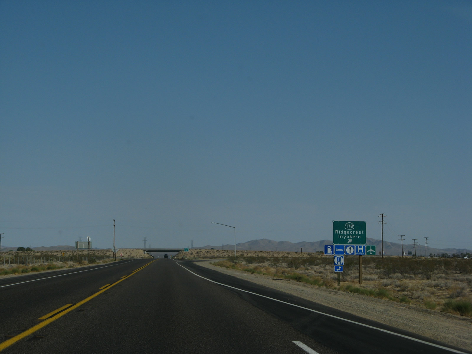
Southbound U.S. 395 reaches Exit 97, U.S. 395 Business and California 178 to Ridgecrest and Inyokern. California 178 travels east to Ridgecrest and west to Inyokern. U.S. 395 Business departs U.S. 395 at this point and enters Ridgecrest via California 178, then turns south along China Lake Boulevard to rejoin U.S. 395 at the same intersection where Old U.S. 395 also returns to the mainline. U.S. 395 does not pass through the centers of either Inyokern or Ridgecrest. Photo taken 07/09/07. |
|
An EXIT gore point sign is posted at Exit 97. U.S. 395 continues south under the California 178 bridge as part of the Inyokern Bypass. Photo taken 07/09/07. |
|
Now on the off-ramp, turn left for California 178 east to Ridgecrest or right for California 178 west to Inyokern, Lake Isabella, Kern River Canyon, and Bakersfield. Photo taken 07/19/09. |
|
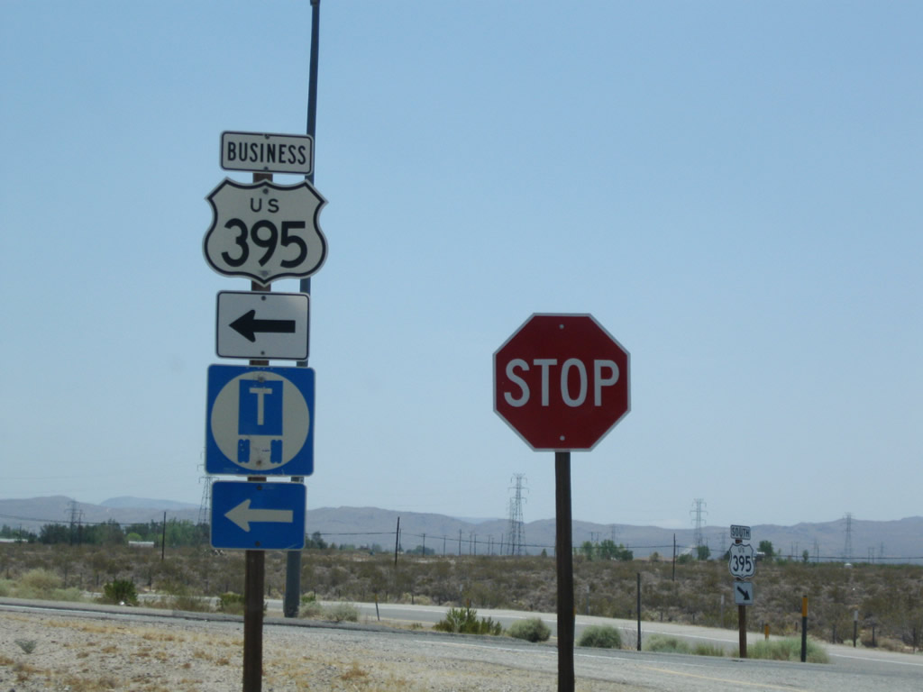
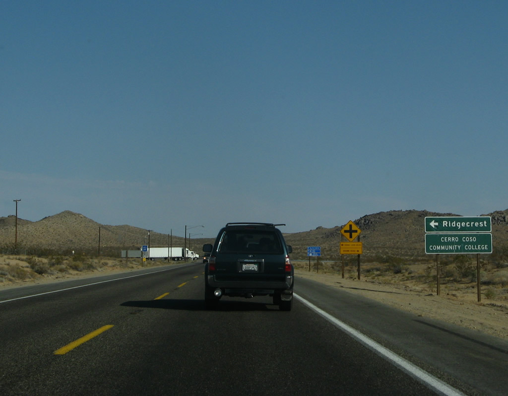
A U.S. 395 Business trailblazer is also posted at the top of the ramp; the business route serves Ridgecrest, not Inyokern. Photo taken 07/19/09. |
|
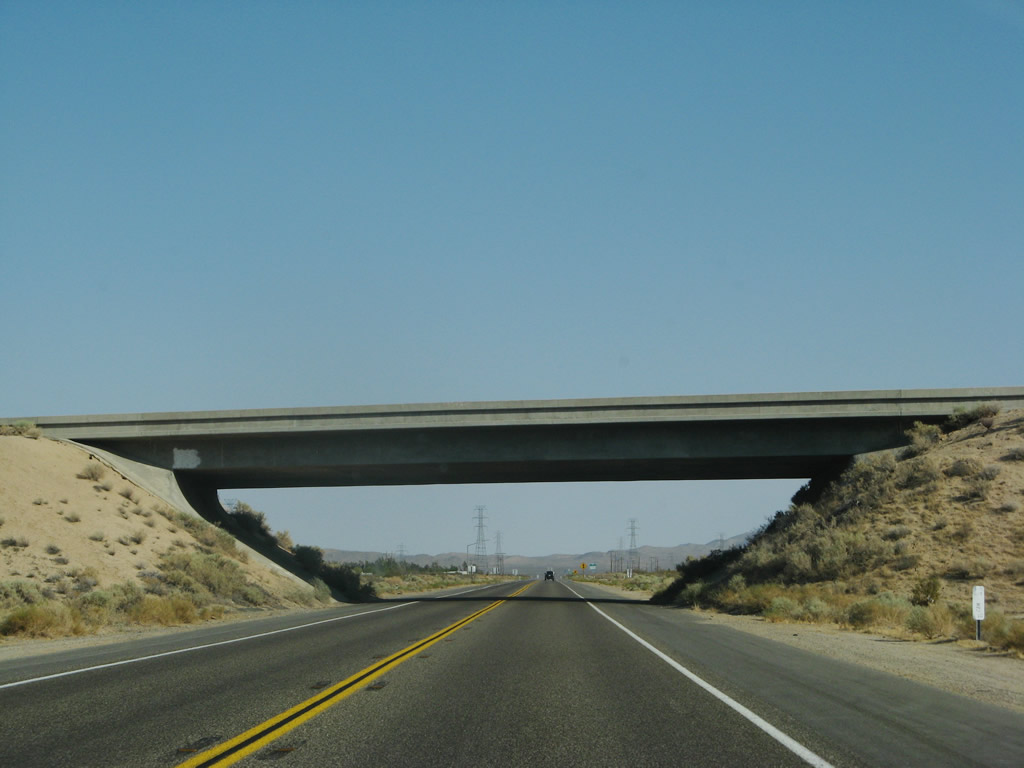
Back on the mainline freeway, southbound U.S. 395 passes under the California 178 bridge. Photo taken 07/09/07. |
|
This view looks south from the California 178 bridge over U.S. 395. The Inyokern bypass, built in 1974, allows U.S. 395 to avoid downtown Inyokern. The bypass was built with two lanes and remains that way today (Super Two). Photo taken 10/08/06. |
|
Traffic from California 178 merges onto U.S. 395 south. Photo taken 07/09/07. |
|
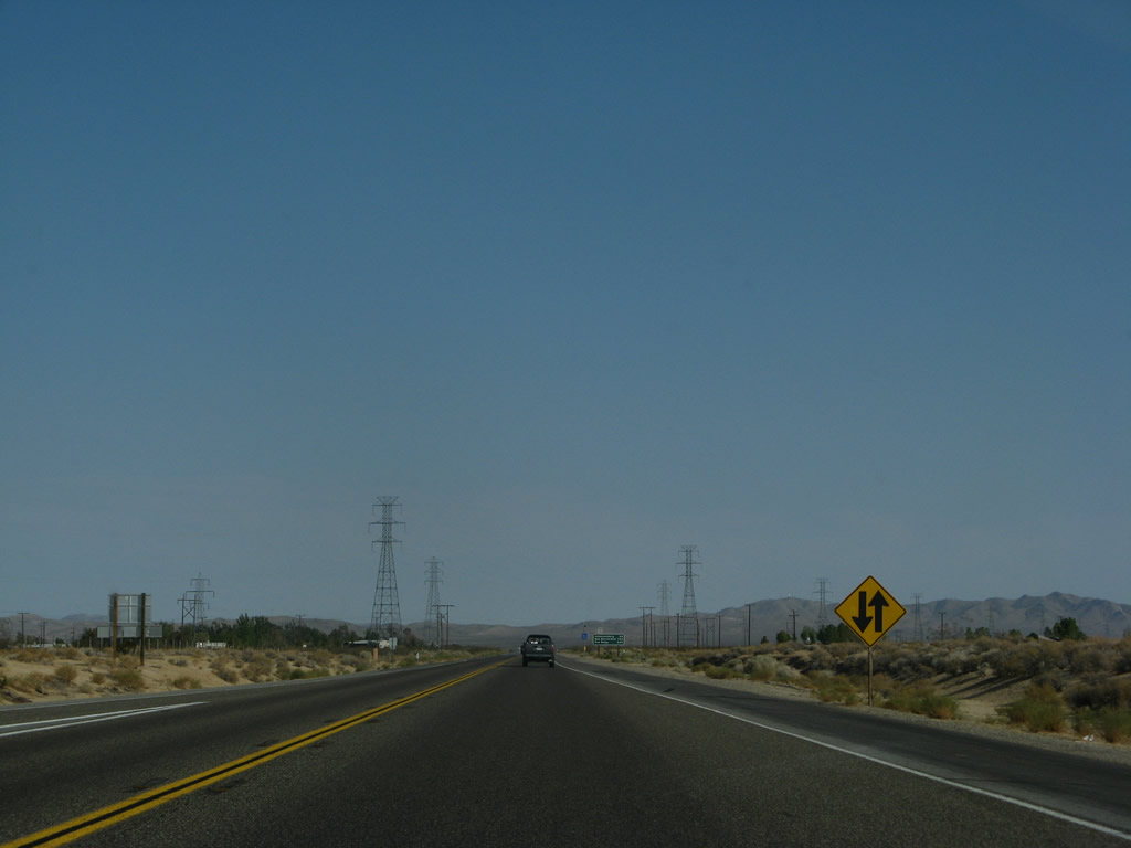
The Super Two freeway continues south with two lanes, one in each direction. Sufficient rights of way are available here to widen the highway to four lanes if needed in the future. Photo taken 07/09/07. |
|
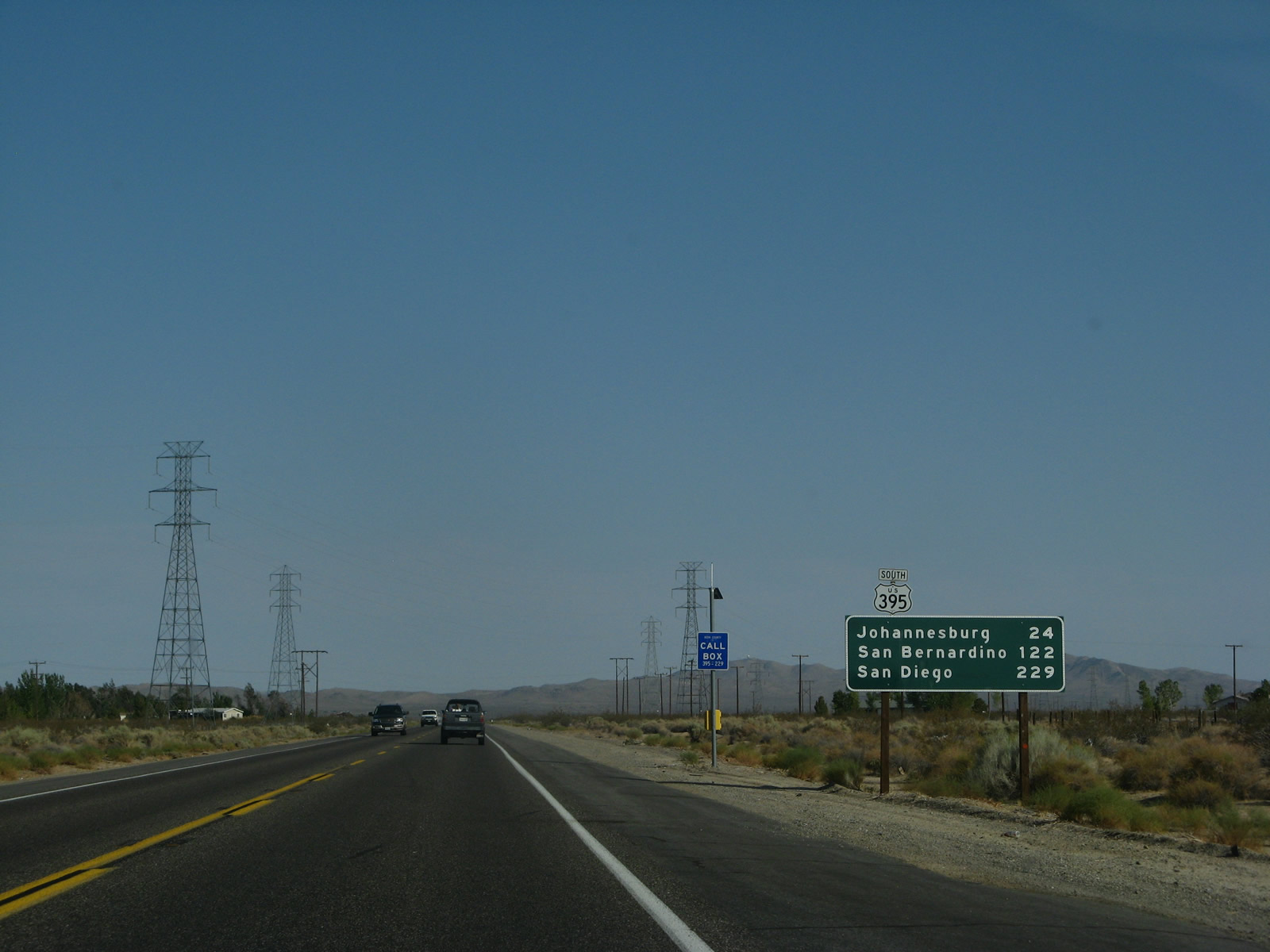
This mileage sign along U.S. 395 south provides the distance to Johannesburg (24 miles), San Bernardino (via Interstate 15, 122 miles), and San Diego (via Interstate 15, 229 miles). Photo taken 07/09/07. |
|
|
|
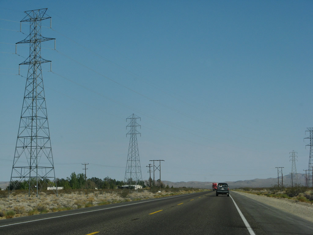
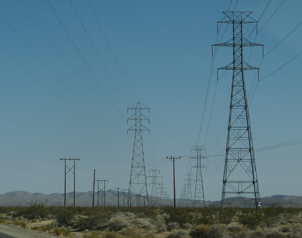
A set of power lines crosses over U.S. 395 prior to the California 178 and U.S. 395 Business off-ramp (Exit 97). The substation is located just east of U.S. 395 along California 178. Photo taken 07/09/07. |
|
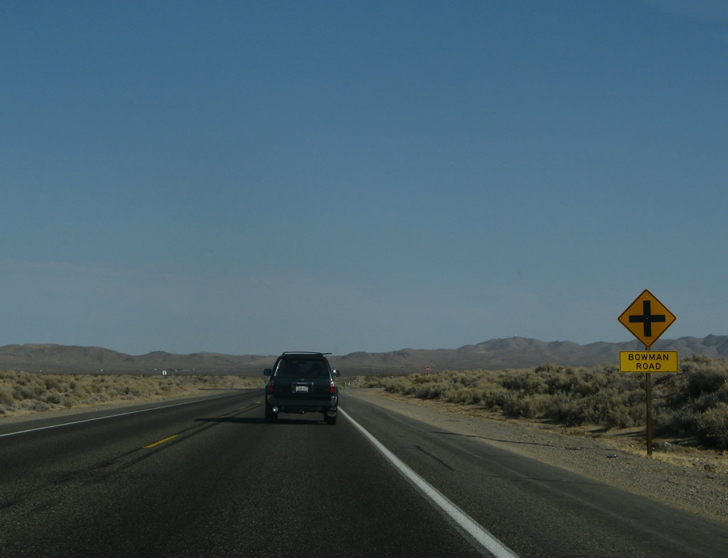
Southbound U.S. 395 (Inyokern Bypass) approaches Bowman Road. Photo taken 07/09/07. |
|
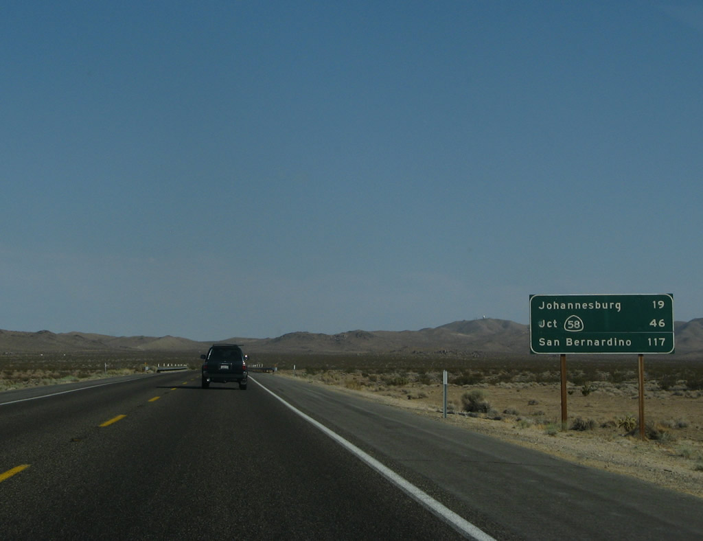
Another mileage sign provides the distance to Johannesburg (19 miles), California 58 at Kramers Junction (Four Corners) (46 miles), and San Bernardino (via Interstate 15, 117 miles). Photo taken 07/09/07. |
|
|
|
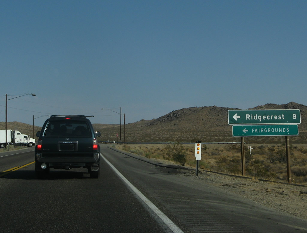
Southbound U.S. 395 approaches the junction with U.S. 395 Business (China Lake Boulevard) north to Ridgecrest and Brown Road (old U.S. 395) north to Inyokern. Photo taken 07/09/07. |
|
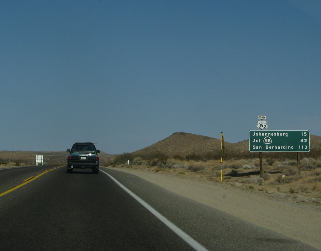
This mileage sign provides the distance to Johannesburg (15 miles), California 58 at Kramers Junction (Four Corners) (42 miles), and San Bernardino (via Interstate 15, 113 miles). Photo taken 07/09/07. |
|
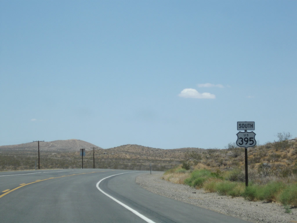
A U.S. 395 south reassurance shield is posted after the China Lake Boulevard (U.S. 395 Business) and Brown Road (Old U.S. 395) intersection. Photo taken 07/26/09. |
|
Another U.S. 395 south reassurance shield is posted a bit further south, just before Searles Station Road. Photo taken 07/26/09. |
|
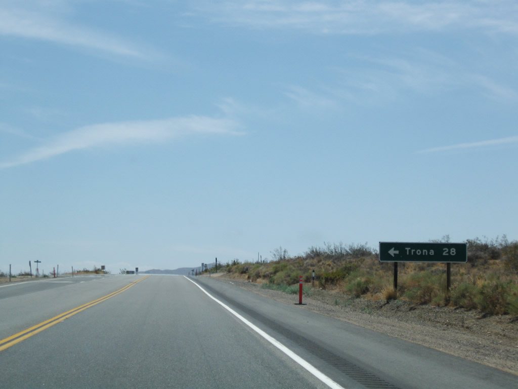
Southbound U.S. 395 approaches Searles Station Road east to Trona Road, which in turn travels northeast to the community of Trona. Photo taken 07/26/09. |
|
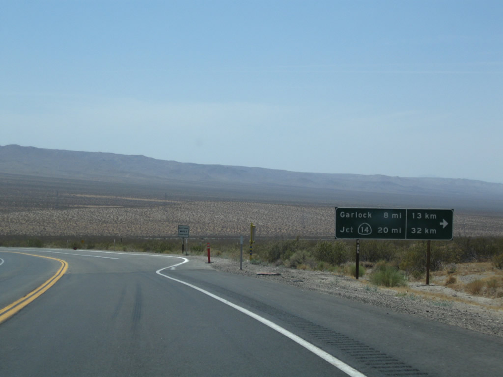
Southbound U.S. 395 meets Garlock Road, which travels west to the site of Garlock and then joins Randsburg-Red Mountain Road west toward California 14 at Red Rock Canyon State Park. Photo taken 07/26/09. |
|
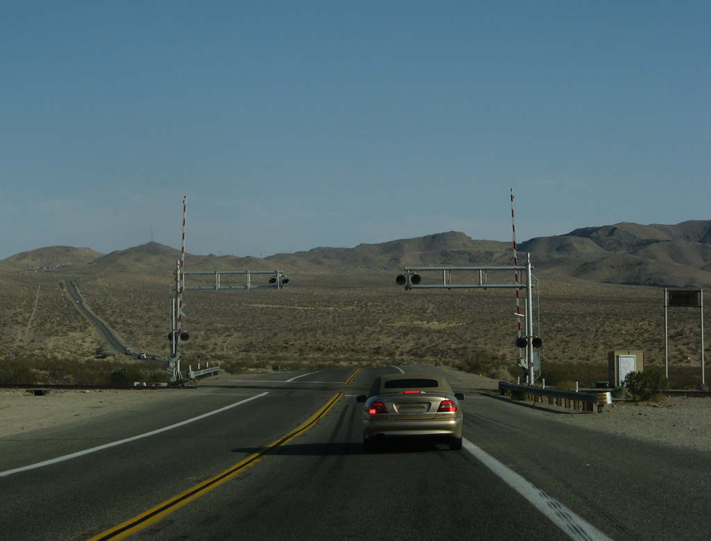
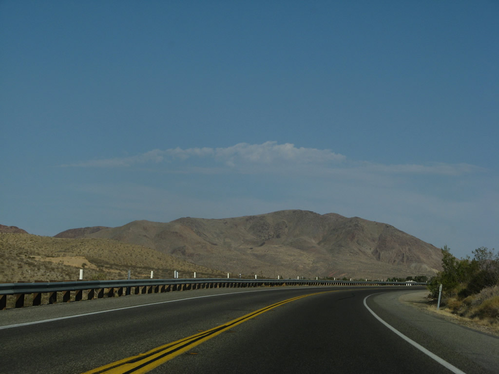
U.S. 395 reaches a low point when the highway crosses railroad tracks. Photo taken 07/09/07. |
|
For the climb out of Indian Wells Valley up to El Paso Mountains and Summit Range, U.S. 395 gains an extra passing lane in one mile. Photo taken 07/09/07. |
|
As we climb toward Randsburg and Johannesburg, U.S. 395 sees a brief four-lane segment. Photo taken 07/09/07. |
|
Once again, U.S. 395 climbs above 3,000 feet, but this is far lower than many mountain passes seen in the Eastern Sierra. Photo taken 07/09/07. |
|
|
U.S. 395 narrows back to a two-lane highway at the top of the grade, gaining elevation again toward Randsburg, Johannesburg and Red Mountain. Photos taken 07/09/07. |
|
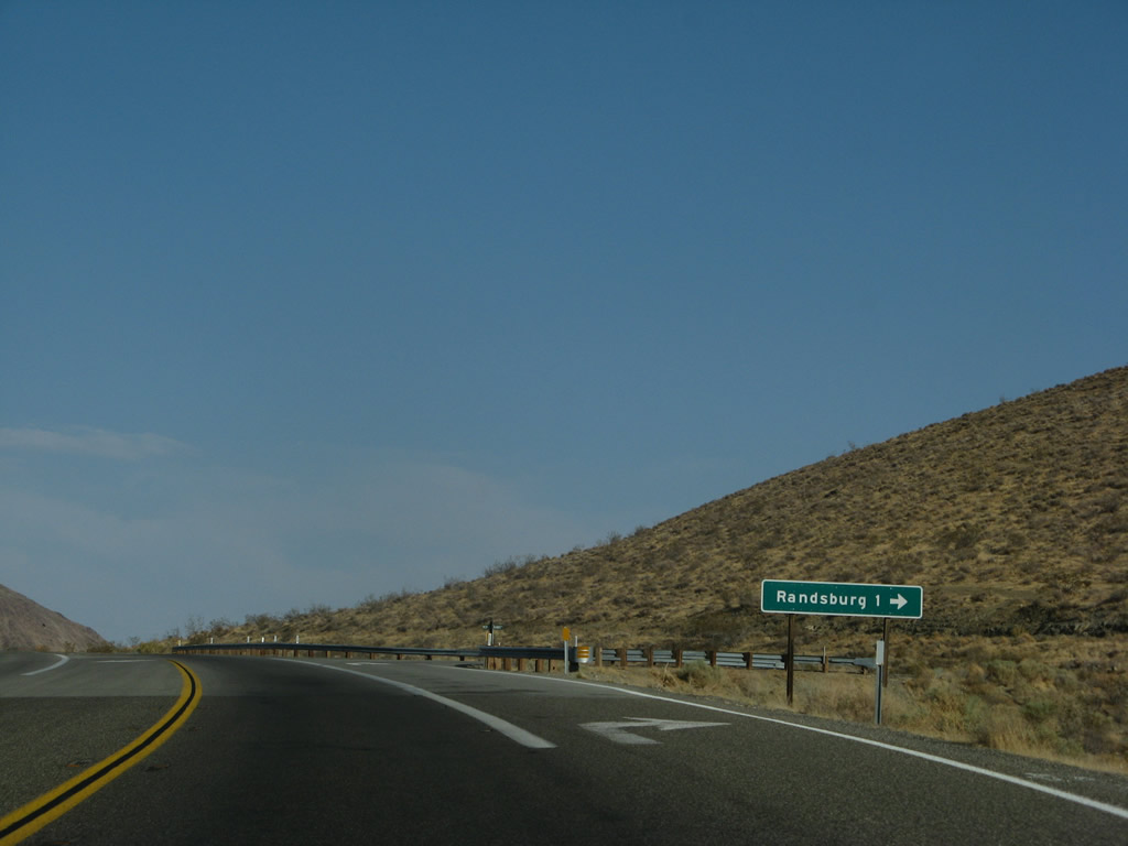
Southbound U.S. 395 approaches Randsburg-Red Rock Road, which travels west into the Randsburg Historic Mining Area and then continues west past Koehn Dry Lake through Fremont Valley to meet California 14 (Grand Army of the Republic Highway) in Red Rock Canyon State Park. Photo taken 07/09/07. |
|
Randsburg, which is another unincorporated community in Kern County, had a population of 77 as of the 2000 Census. Like Johannesburg, mining drove the economy in the early 20th century. As the mines dried up, so did parts of the town. Today, many historic structures remain in downtown and are preserved as part of the Randsburg mining district. Photo taken 07/09/07. |
|
A U.S. 395 south reassurance shield is posted shortly after the Randsburg-Red Rock Road intersection. Photo taken 07/26/09. |
|
U.S. 395 curves southeast as it approaches Johannesburg. In the distance is Red Mountain (el. 5,261 feet). Photo taken 07/09/07. |
|
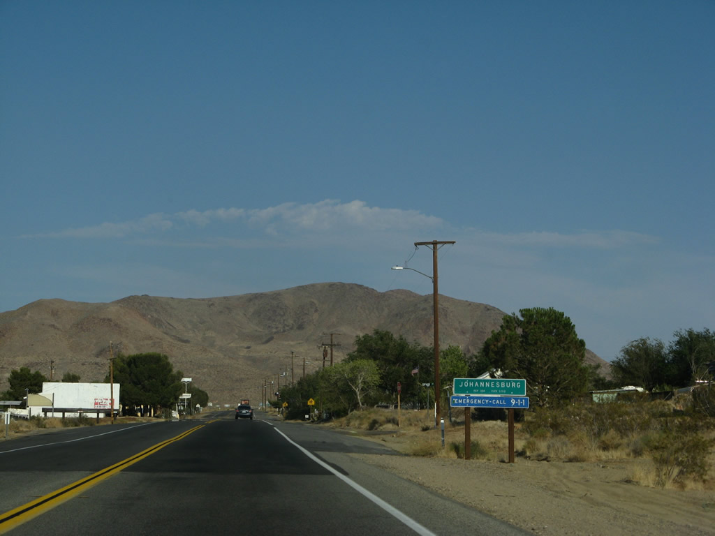
Southbound U.S. 395 enters the unincorporated community of Johannesburg, which is largely located in Kern County. Johannesburg (population 176 as of the 2000 Census) sits at an elevation of 3,510 feet and is part of the mining district situated in the Rand Mountains; silver mining was significant in the first half of the 20th century. Photo taken 07/09/07. |
|
Some motorist services (gas) are available in Johannesburg. Photo taken 07/09/07. |
|
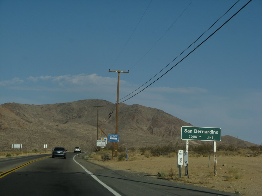
Leaving Johannesburg, this mileage sign is posted on southbound U.S. 395. It provides the distance to Red Mountain (one mile), San Bernardino (98 miles), and San Diego (204 miles). Since the sign provides both English and metric distances, it likely dates back to the early 1970s. Behind the sign is the Kern-San Bernardino County line. Photo taken 07/09/07. |
|
U.S. 395 leaves Kern County and enters San Bernardino County. Photo taken 07/09/07. |
Page Updated May 22, 2010.