
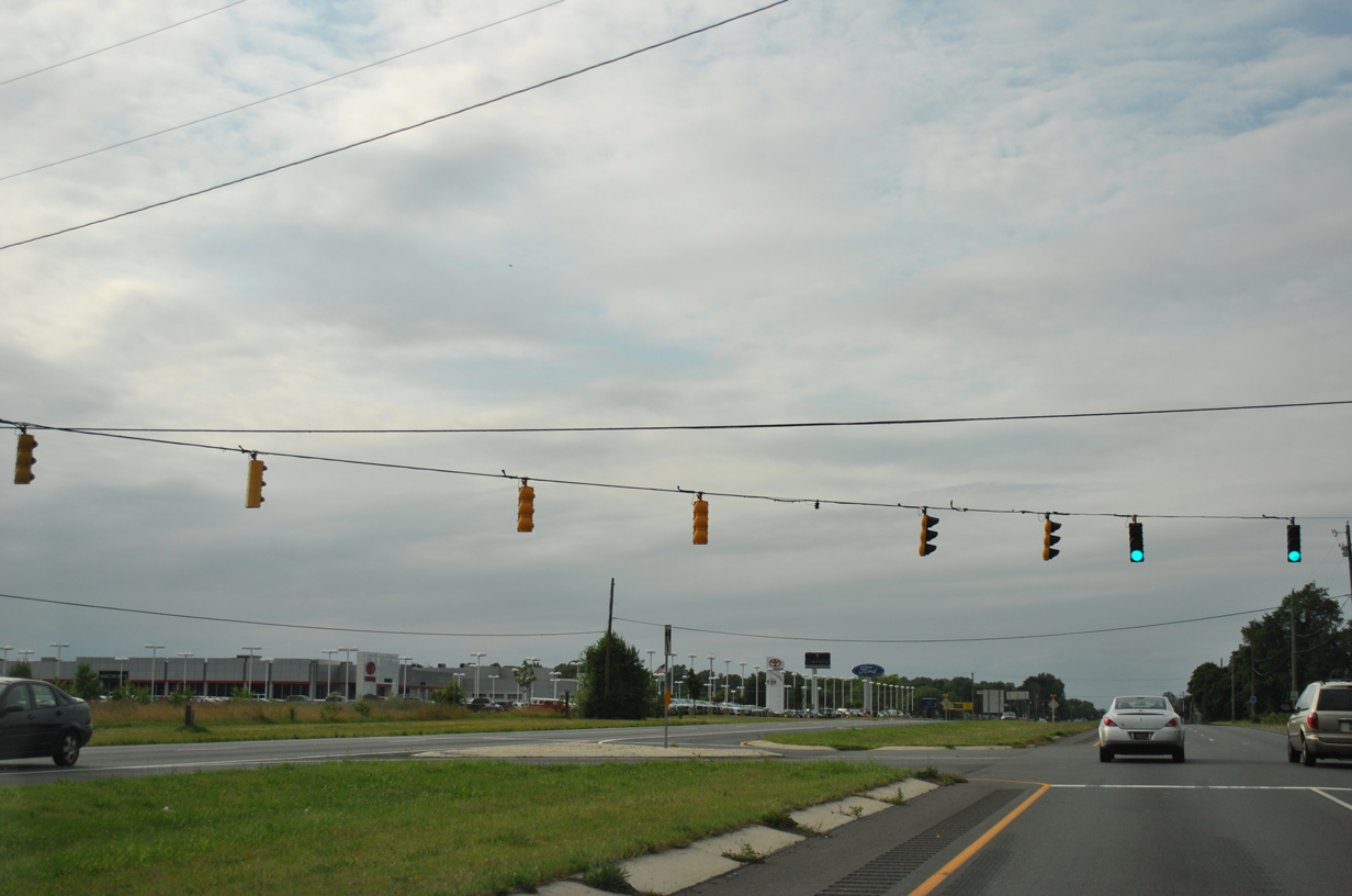
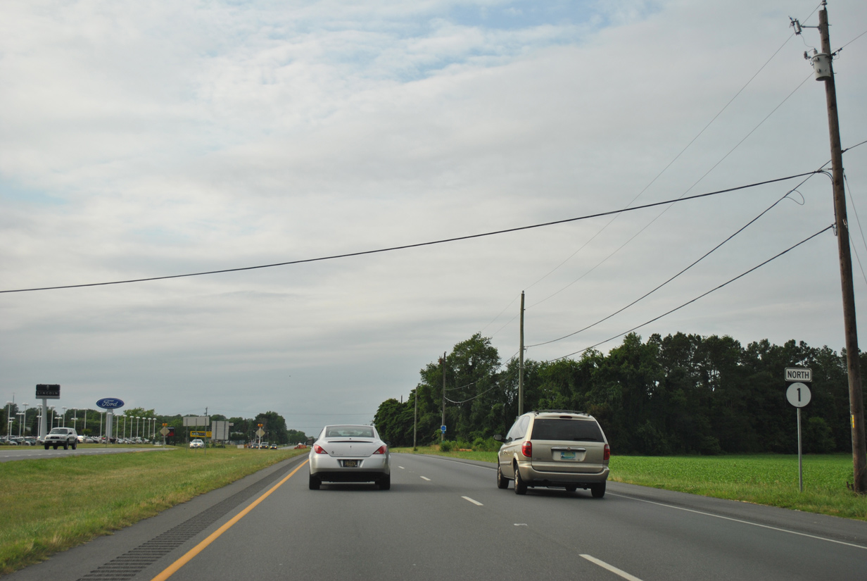
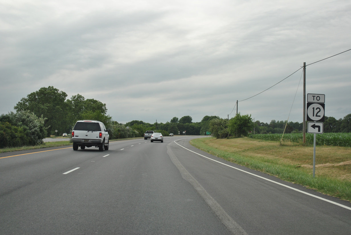
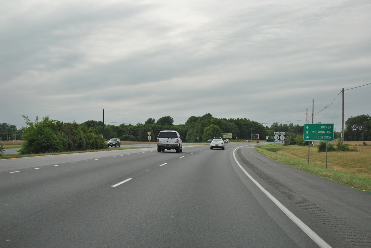
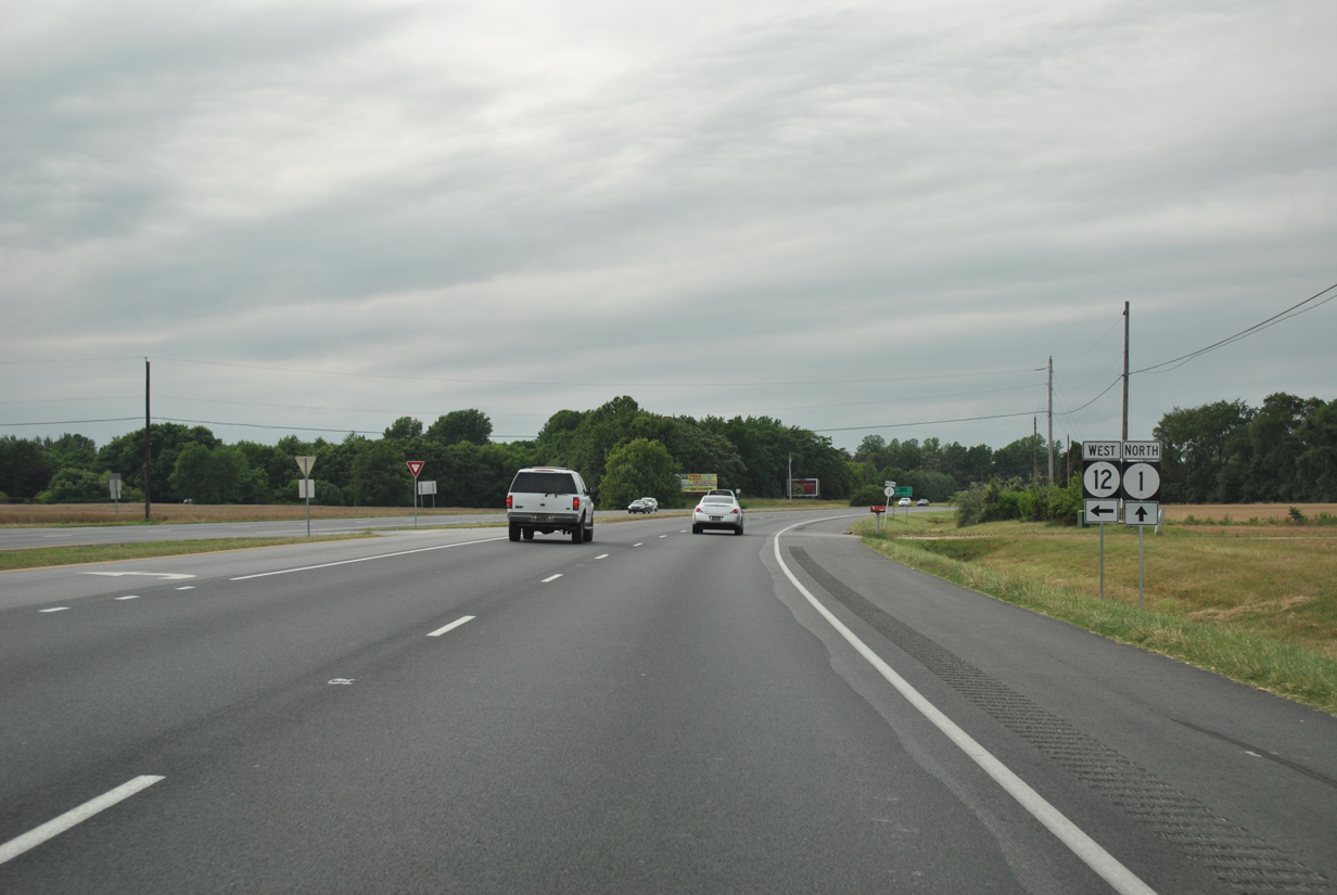
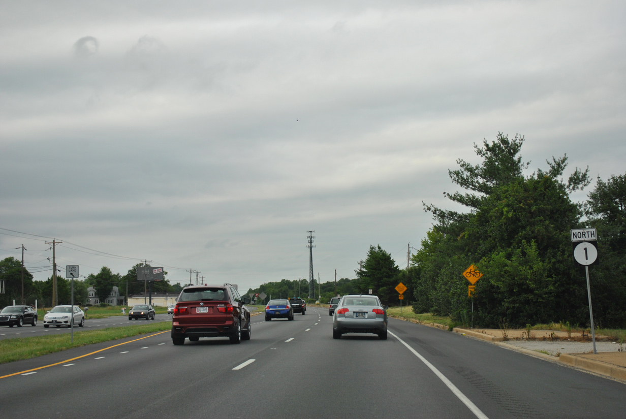
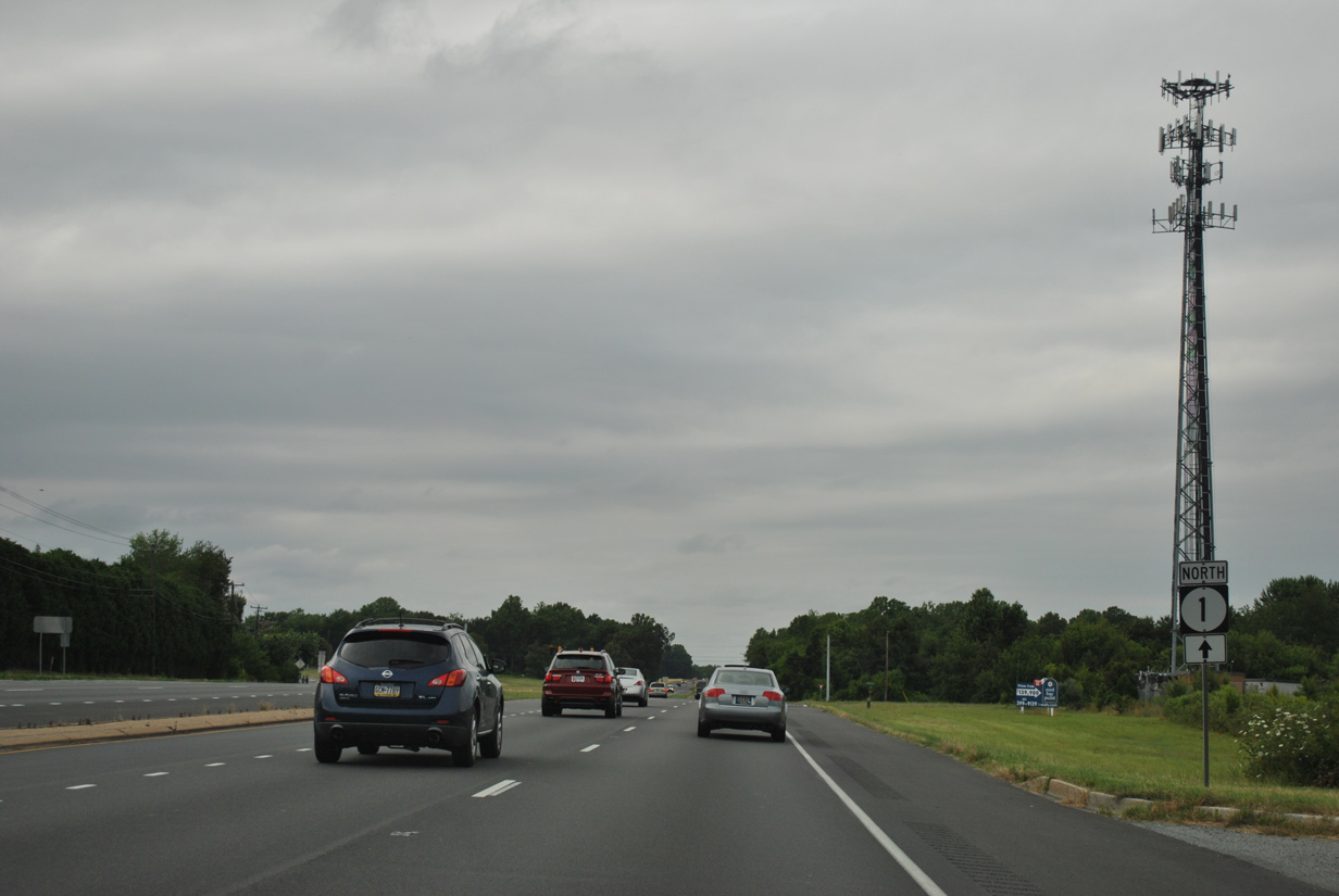
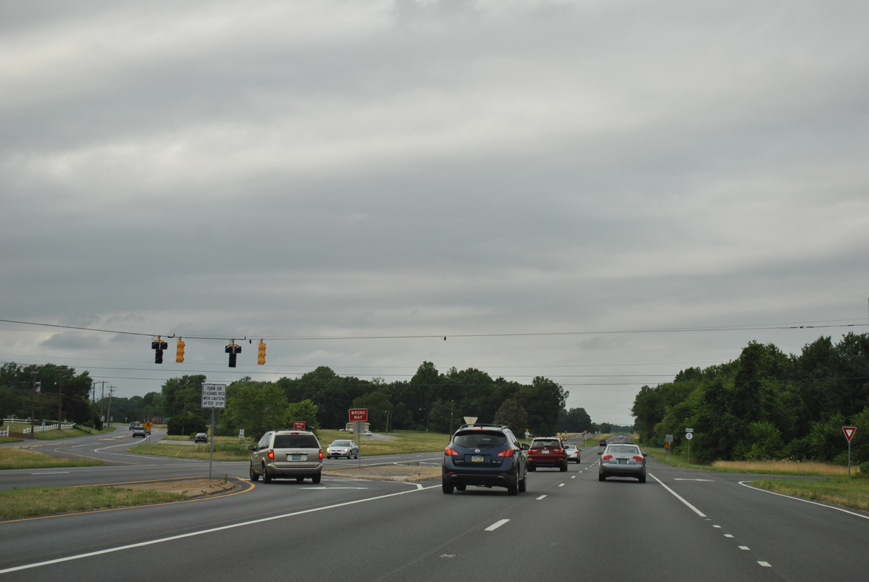
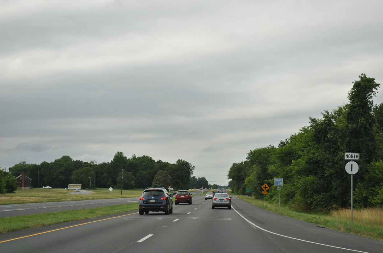
Delaware Route 1 North

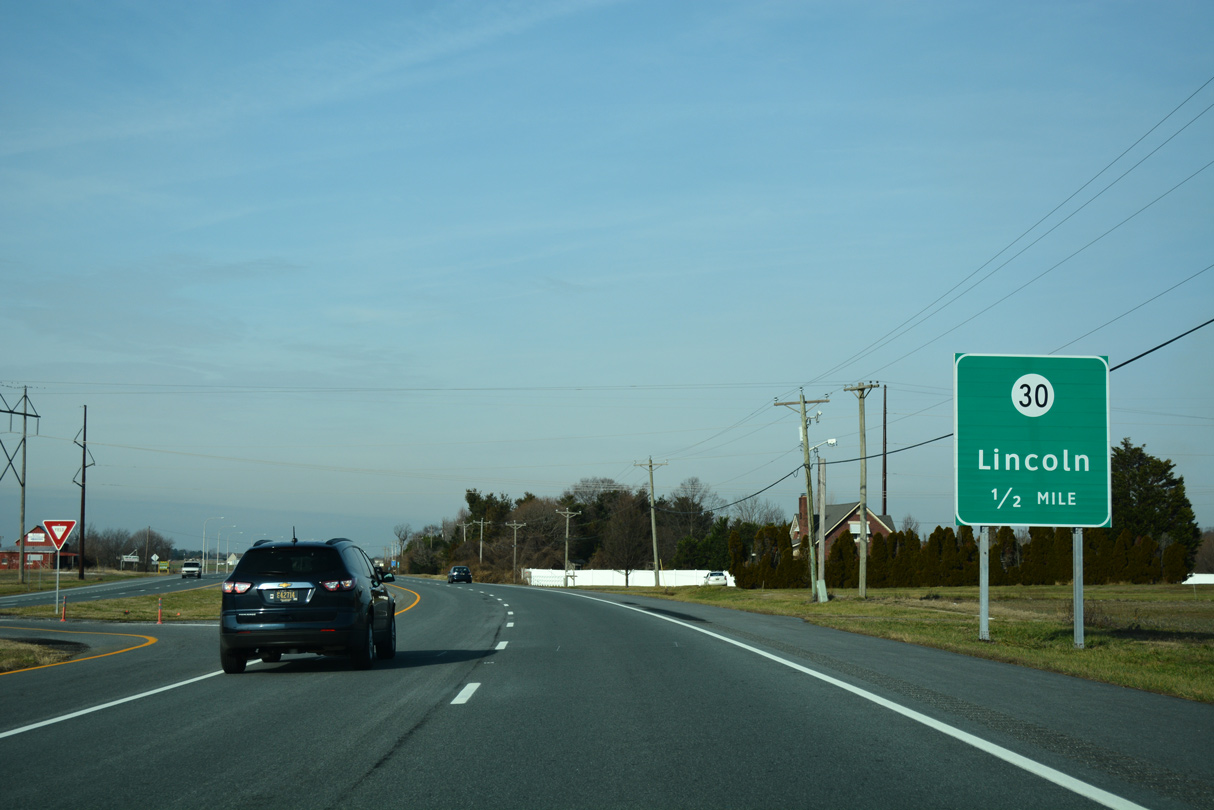
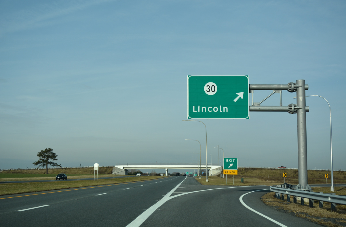
Guide signs for SR 30 on SR 1 north were replaced to add Milford as a second control point. 01/16/17
01/16/17
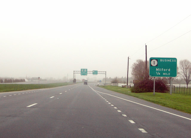
Replaced guide sign posted for the split of SR 1 Business from SR 1 north at the beginning of the Milford Bypass. 04/13/04
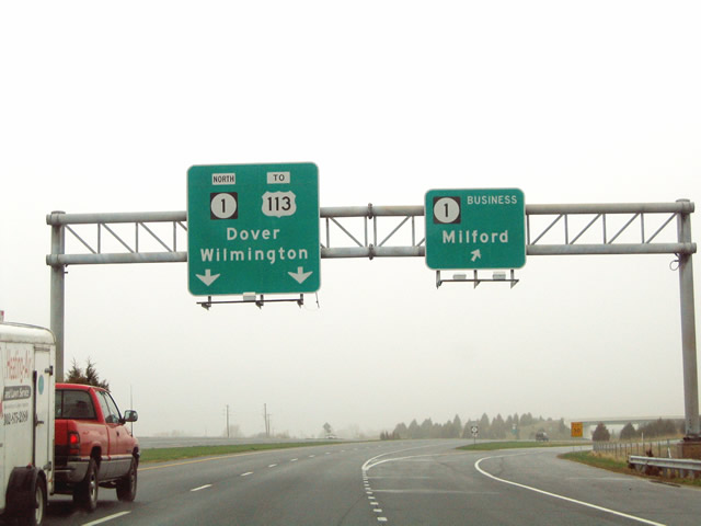
Sign replacements made by 2007 along SR 1 north at Milford removed the reference to U.S. 113, reflecting its truncation from Dover south to Milford. 04/13/04
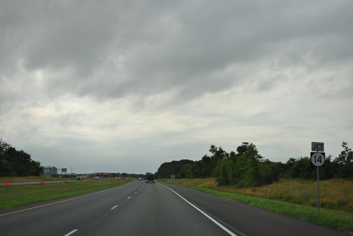
SR 14 (NE Front Street) met SR 1 at grade along the Milford Bypass until 2018-19 construction of a grade separated intersection. 06/18/12
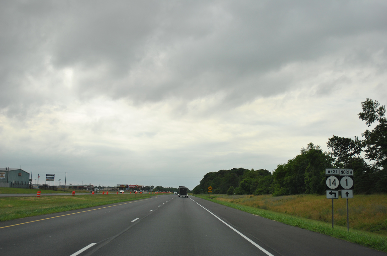
06/18/12
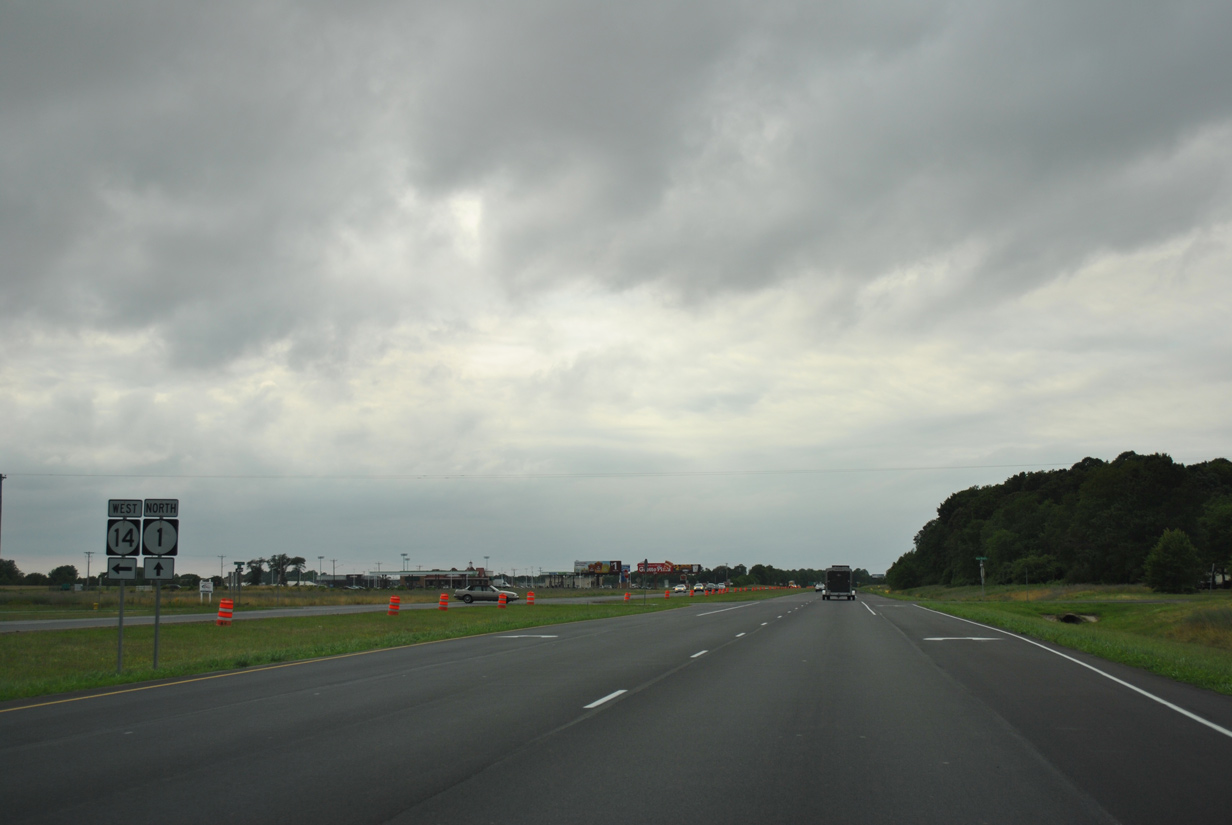
SR 14 (NE Front Street) crosses over SR 1 on an overpass completed in 2019. 06/18/12
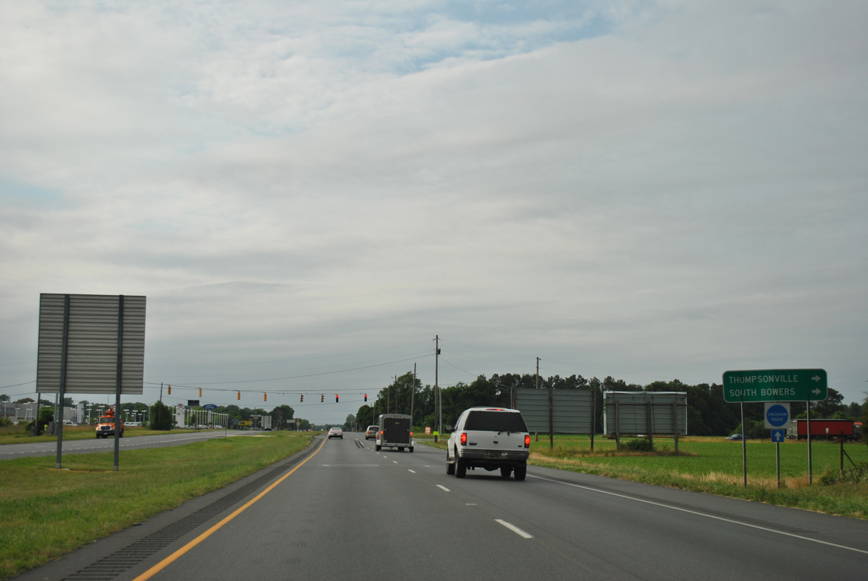
SR 1 (Bay Road) north at the traffic light with Thompsonville Road north to Thompsonville and Milford Neck. 06/18/12
The at-grade intersection with Thompsonville Road was replaced with a folded diamond interchange with work starting in Summer 2015. A new service road was also added to the west for adjacent businesses. 06/18/12
The at-grade intersection with Thompsonville Road was upgraded to a folded diamond interchange with work starting in summer 2015. A new service road was also added to the west to service adjacent businesses. 06/18/12
Frederica Road separated from SR 1 (Bay Road) north to Frederica from an at-grade intersection originally. 06/18/12
Frederica Road and Tub Mill Pond Road were realigned west to meet at an access road constructed across SR 1 to Milford Neck Road. 06/18/12
A loop ramp joins SR 1 north with Frederica Road at Exit 83 here. 06/18/12
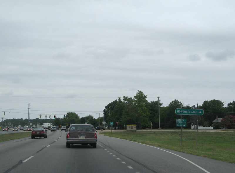
Approaching the signalized intersection with Bowers Beach Road at Little Heaven. Construction underway from 2014 onward elevated SR 1 across Bowers Beach Road at Exit 88. 08/05/07

Additional intersections with Clapham Road and other area roads were also removed during the grade separated intersection project for SR 1 at Little Heaven. Frontage roads connect ramps at Exit 88 in both directions. 06/18/12
Reassurance marker for SR 1 north posted after Bowers Beach Road east. 06/18/12
Clapham Road formerly branched northwest from SR 1 next, opposite Skeeter Neck Road east to Bowers Beach Road. 06/18/12
SR 1 north at Clapham Road (old U.S. 113 ALT). 06/18/12
SR 1 shield posted after the former wye intersection with Clapham Road. 06/18/12
Mileage sign posted previously along SR 1 northbound at Mulberrie Point Road. Mulberrie Point Road connected with Bay Road east to Old Bowers Road and Bowers Beach Road. 06/18/12
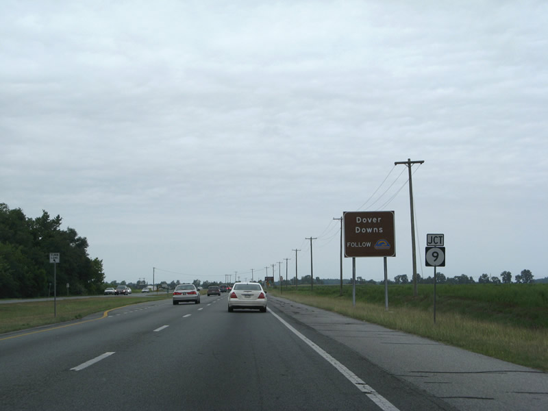
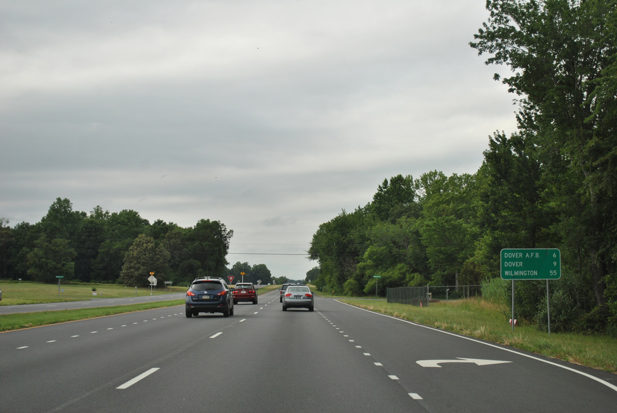
Leaving the St. Jones River wetlands, SR 1 (Bay Road) advanced to the south end of SR 9. 08/05/07
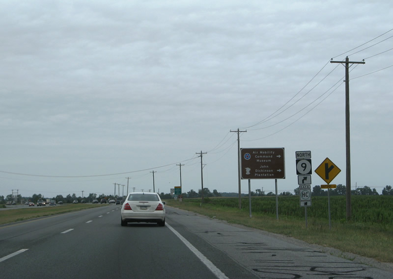
SR 1 entered the city limits of Dover at the former intersection with SR 9 (Bayside Drive) and Kitts Hummock Road. 08/05/07
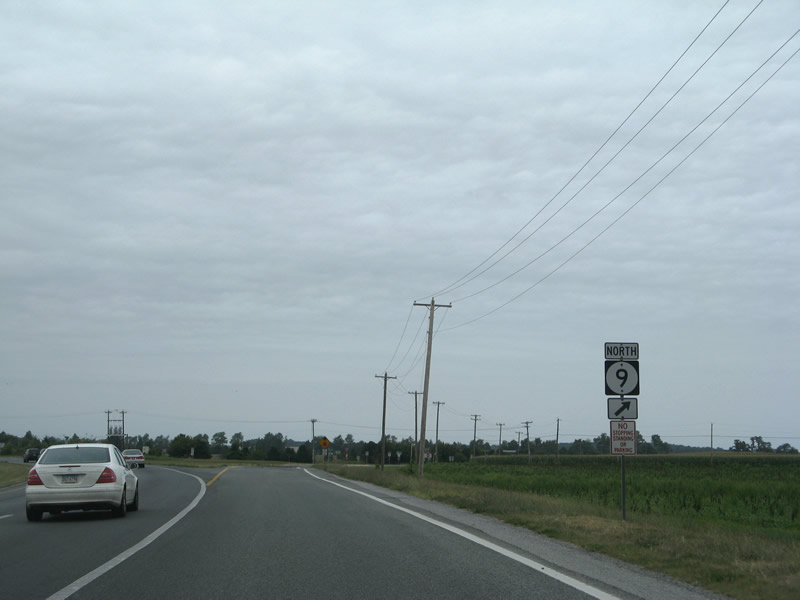
SR 9 (Bayside Drive) branched north from SR 1 (Bay Road) along the southern periphery of Dover A.F.B. 08/05/07
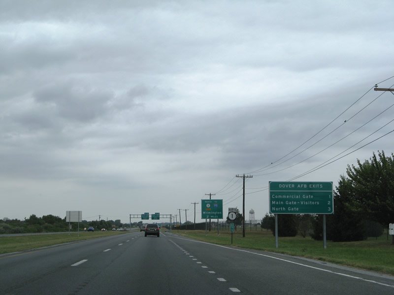
This interchange sequence sign for Dover Air Force Base was removed during construction of the diamond interchange with SR 9. 08/05/07

Exit 2 originally served the South Gate to Dover A.F.B. It was replaced with the Commercial Gate to the base in March 2007. 02/13/04

A traffic light originally operated along Bay Road at Old Lebanon Road and 13th Street/Dover A.F.B. main gate. This intersection was replaced with Exit 93. 02/13/04

Diagrammatic sign posted ahead of the former split between U.S. 113 and SR 1 north at Exit 95 for SR 10 west. U.S. 113 proceeded north 2.3 miles along Bay Road to U.S. 13. 02/13/04
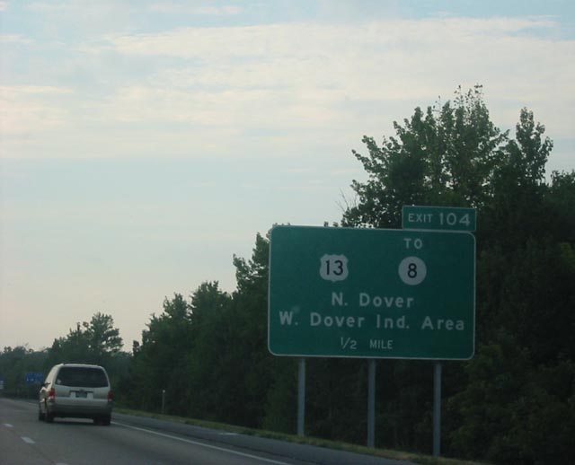
West Dover Industrial Area was referenced on original guide signs for Exit 104. Scarborough Road was planned as SR 8 ALT. July 2002
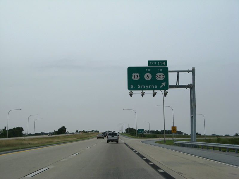
Replaced overhead assembly at the trumpet interchange (Exit 114) for south Smyrna. 08/05/07
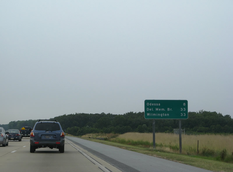
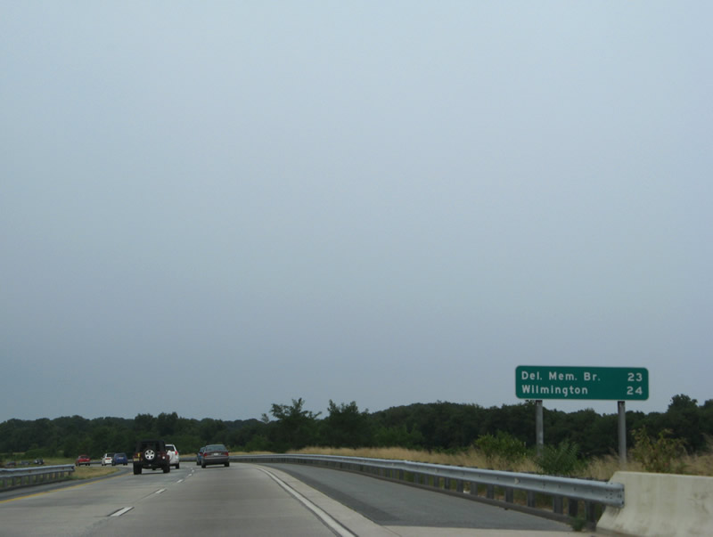
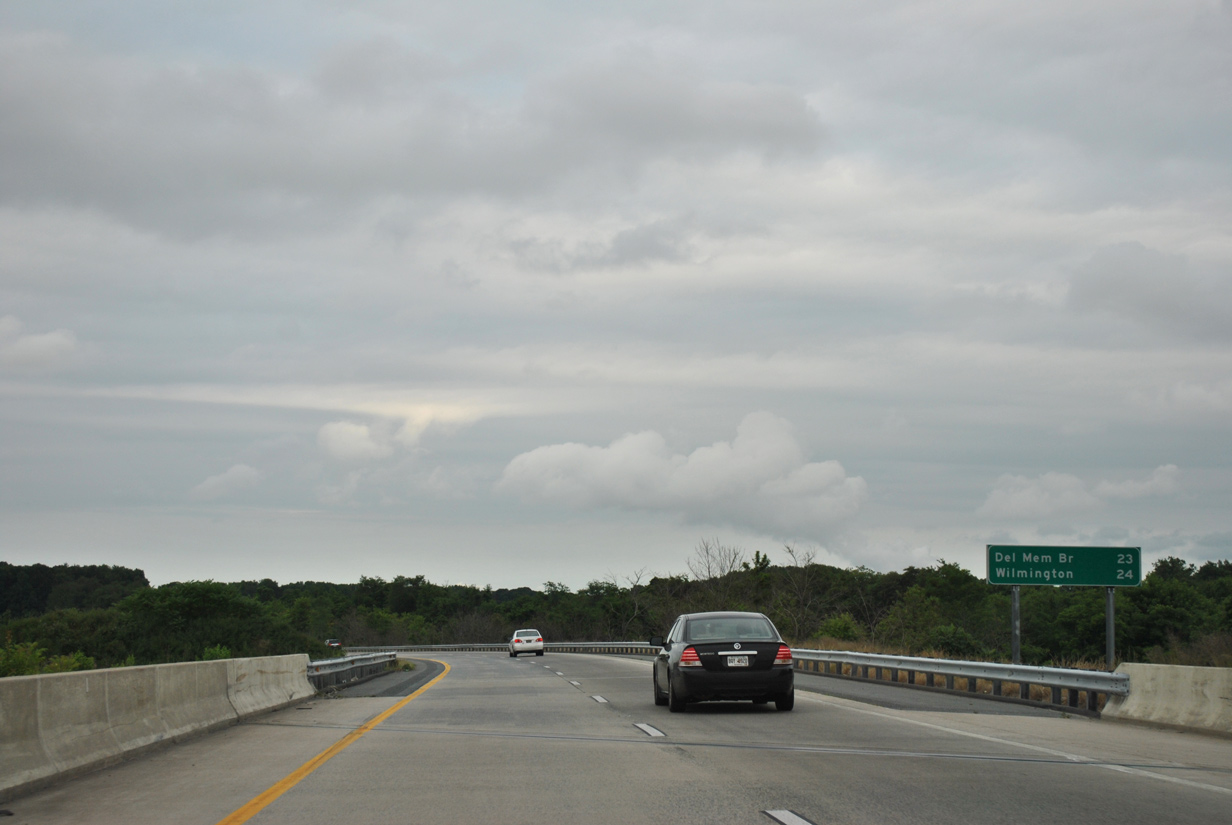
The first of two northbound mileage signs posted along the longest exit less stretch along SR 1. Corrected by 2012, the distances for Wilmington and the Delaware Memorial Bridge are one mile apart on all other signs. 08/05/07
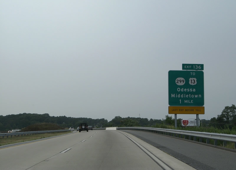
SR 1 curves west around Odessa to meet SR 299 at Exit 136. 08/05/07
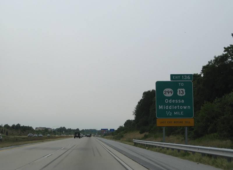
Formerly a rural route, SR 299 links Downtown Middletown with Odessa. All signs for Exit 136 were replaced by 2012. 08/05/07

The diamond interchange at Exit 136 was originally undeveloped. 08/05/07
Mileage sign posted beyond the U.S. 13 (DuPont Parkway) under crossing north of Odessa. SR 1 remains east of U.S. 13 northward to Boyds Corner. 08/05/07
06/18/12
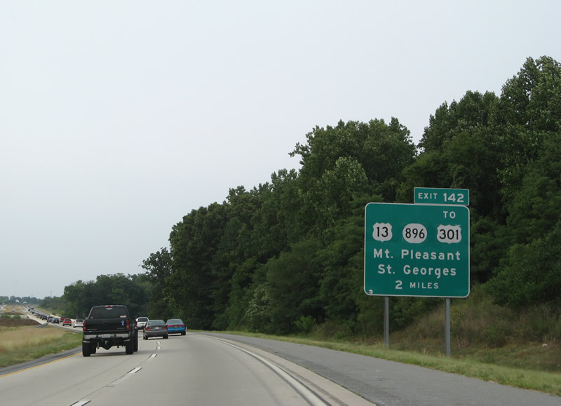
SR 1 travels by a number of subdivisions ahead of Exit 142 with Poles Bridge Road. Poles Bridge Road links with SR 896 (Boyds Corner Road) and U.S. 13 (Dupont Highway) at Boyds Corner. 08/05/07
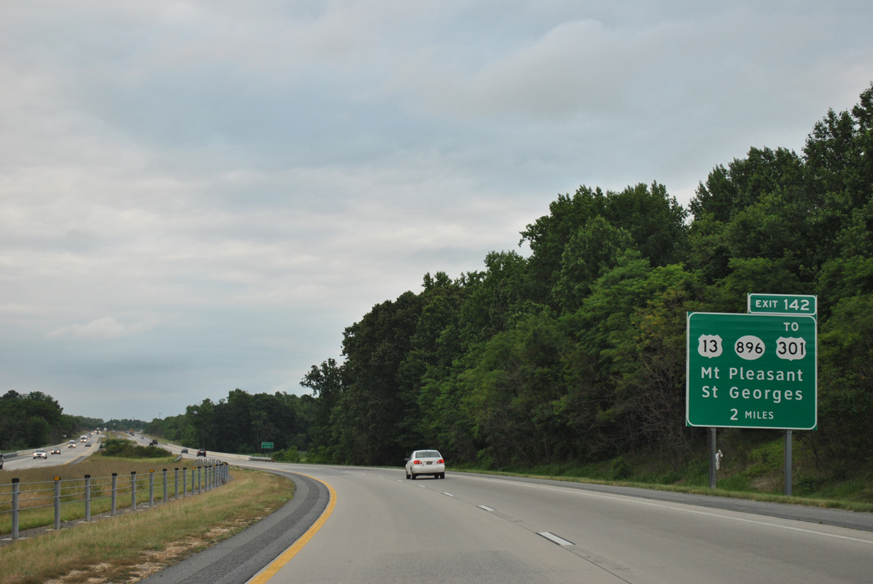
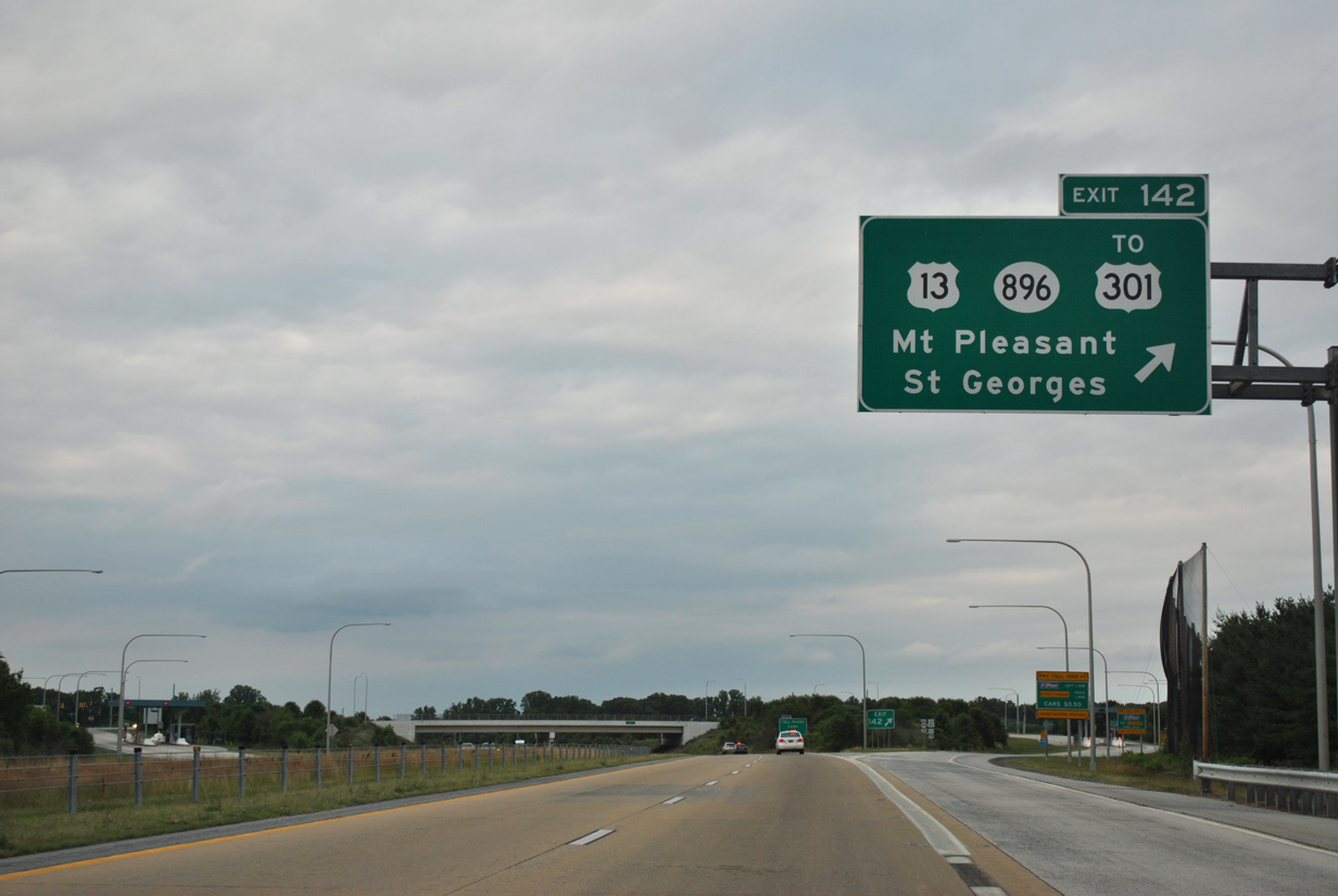
This guide sign was replaced to no longer show U.S. 13 or U.S. 301. 06/18/12

The guide sign posted a half mile ahead of Exit 142 was missing by April 2012 and replaced by September 2012. 08/05/07
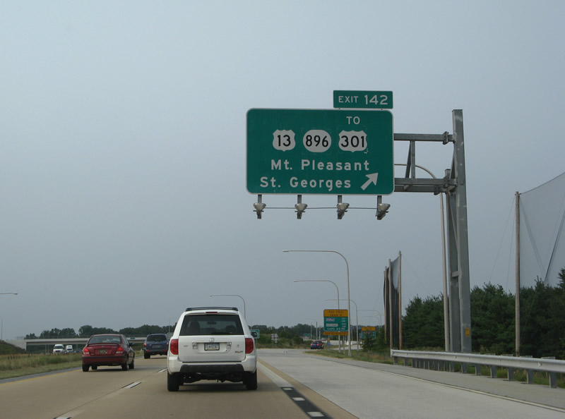
Exit 142 departs SR 1 north for SR 896, Mt. Pleasant and U.S. 301. This overhead was replaced by June 2008. 08/05/07
Shields for both U.S. 13 and U.S. 301 were removed in 2019 after the First Coast Responders Memorial Highway toll road opened to traffic. 06/18/12
Photos by AARoads, Adam Froehlig (02/13/04), Jonathan Lebowitz (08/02)
Page Updated Friday January 24, 2025.