
Interstate 89 Vermont - South
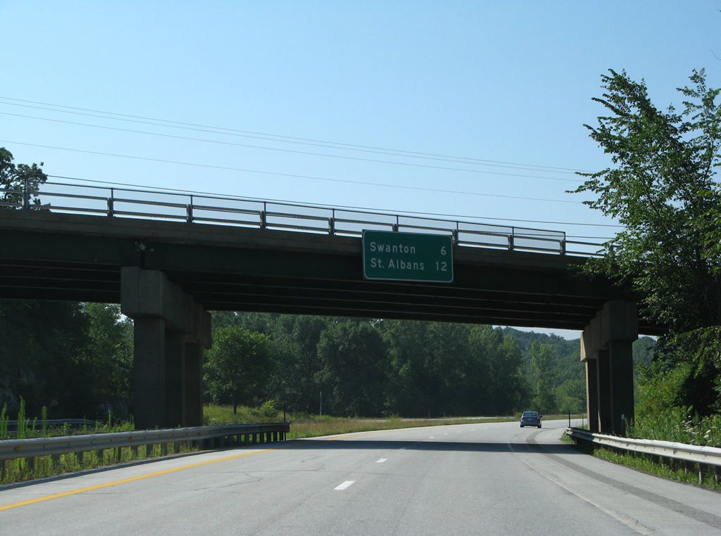
The mileage sign for Swanton and St. Albans along Interstate 89 south was originally mounted to the U.S. 7 overpass by Rock River Bay. 08/01/07
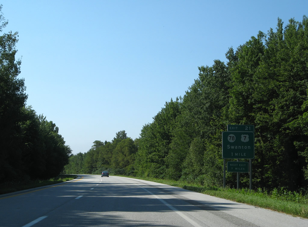
Interstate 89 crosses the Swanton town line on the one mile approach to Exit 21 with Vermont 78 (1st Street). 08/01/07
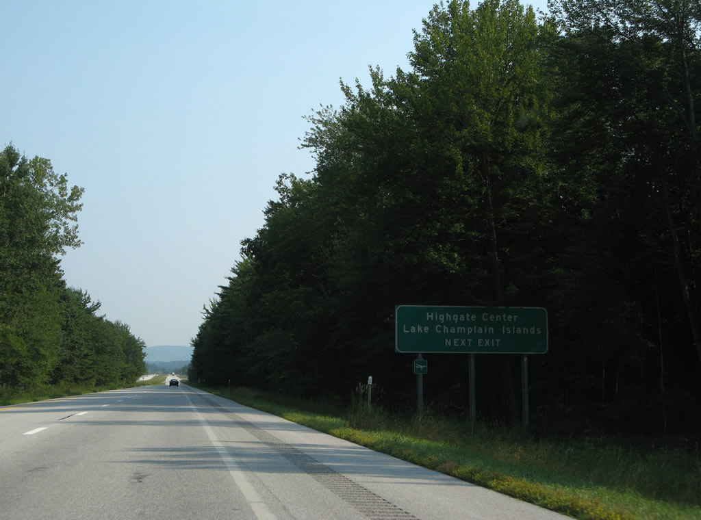
Vermont 78 travels across the village of Swanton to West Swanton and East Alburg on the Lake Champlain Islands. The state route journeys east three miles to Highgate Center. 08/01/07
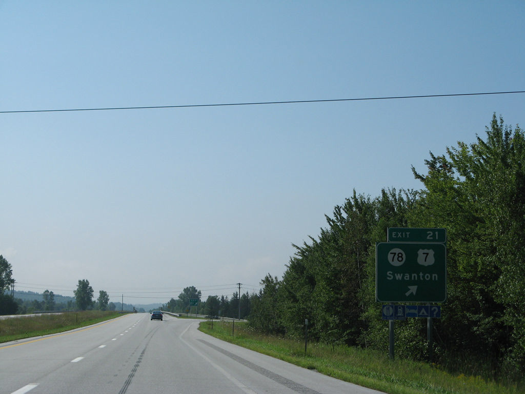
Former Highway Gothic font based guide sign posted at the off-ramp (Exit 21) to Vermont 78. VT 78 and U.S. 7 share a one-block overlap along Grand Avenue in Swanton. 08/01/07

This reassurance marker was replaced with a new marker posted further ahead by 2011. 08/04/07

The city of Winooski is the next destination along I-89 south in seven miles. 08/04/07
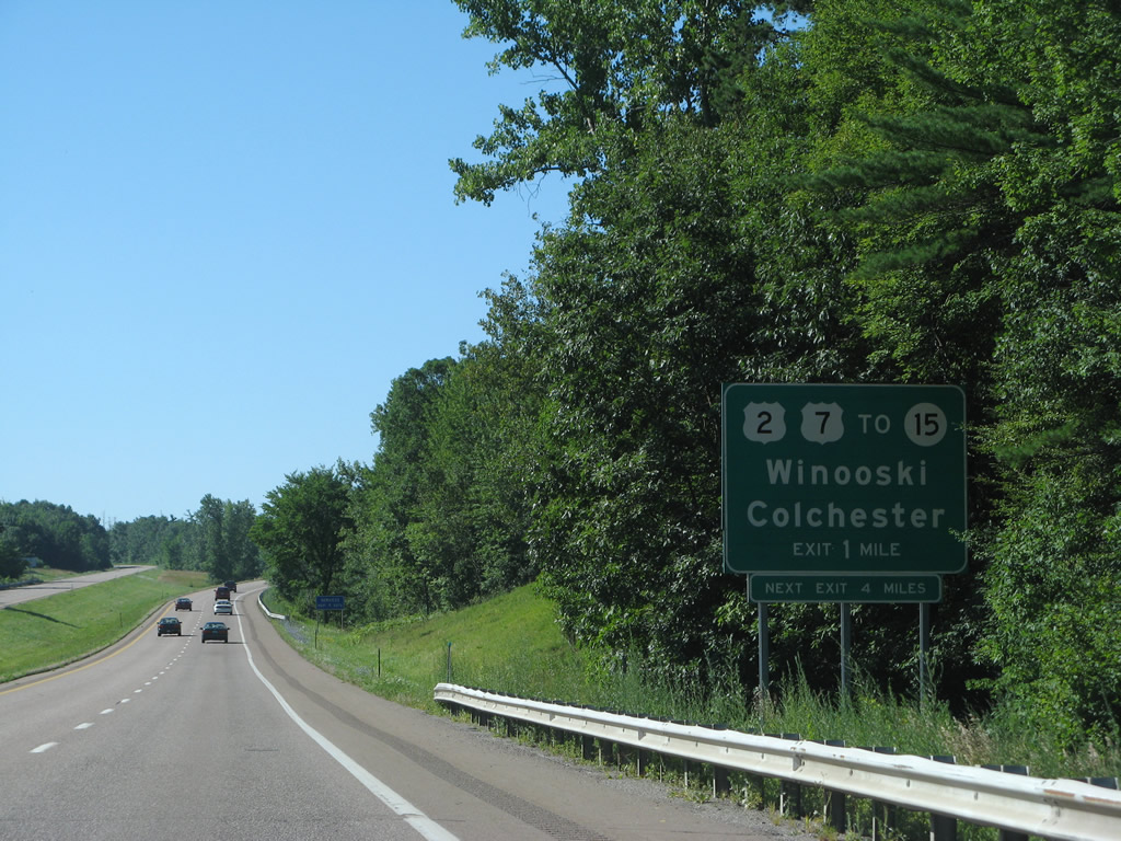
Original signs for Exit 16 to U.S. 2 & 7 at Winooski were posted without exit tabs. 08/04/07
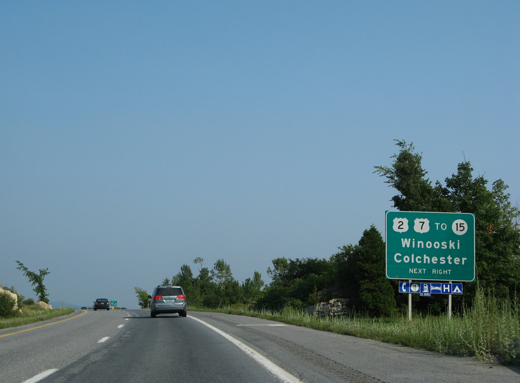
Southbound at the off-ramp (Exit 16) to U.S. 2 & 7 south into Winooski and north back into Colchester. Vermont 15 begins a 69-mile route in Downtown Winooski. The state route heads east to Essex Junction, Morrisville, Hardwick and Danville. 08/02/07
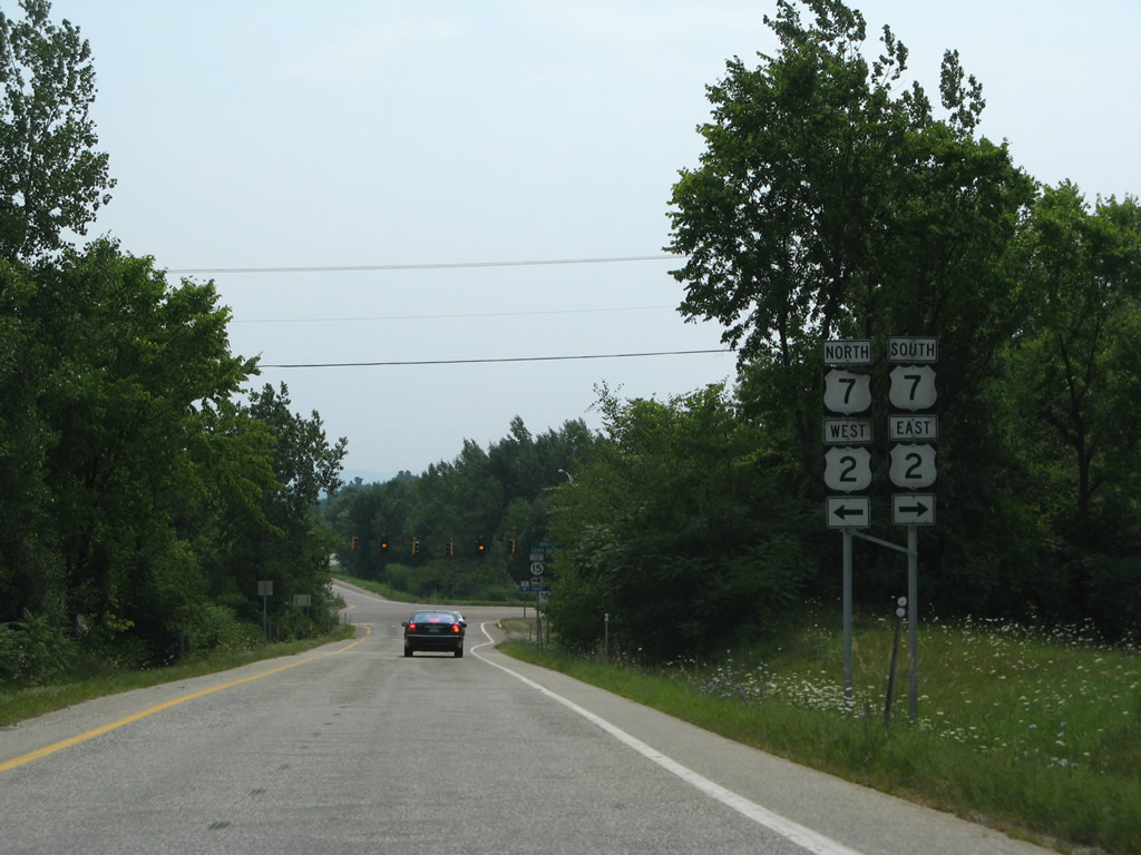
Taking Exit 16 to U.S. 2 & 7 from I-89 south. Traveler services and big box retail lie just to the north along the US route pair. 08/03/07
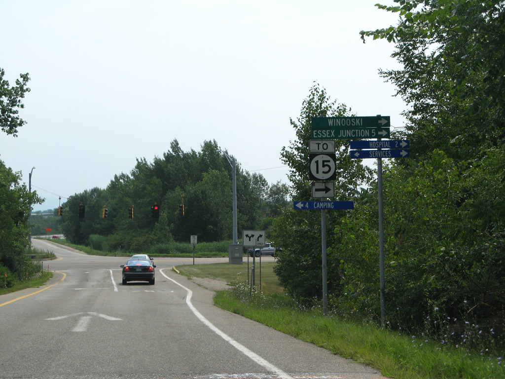
U.S. 2 & 7 (Main Street) lead drivers 1.2 miles south to a rotary with Allen Street and the eastbound beginning of Vermont 15. 08/03/07
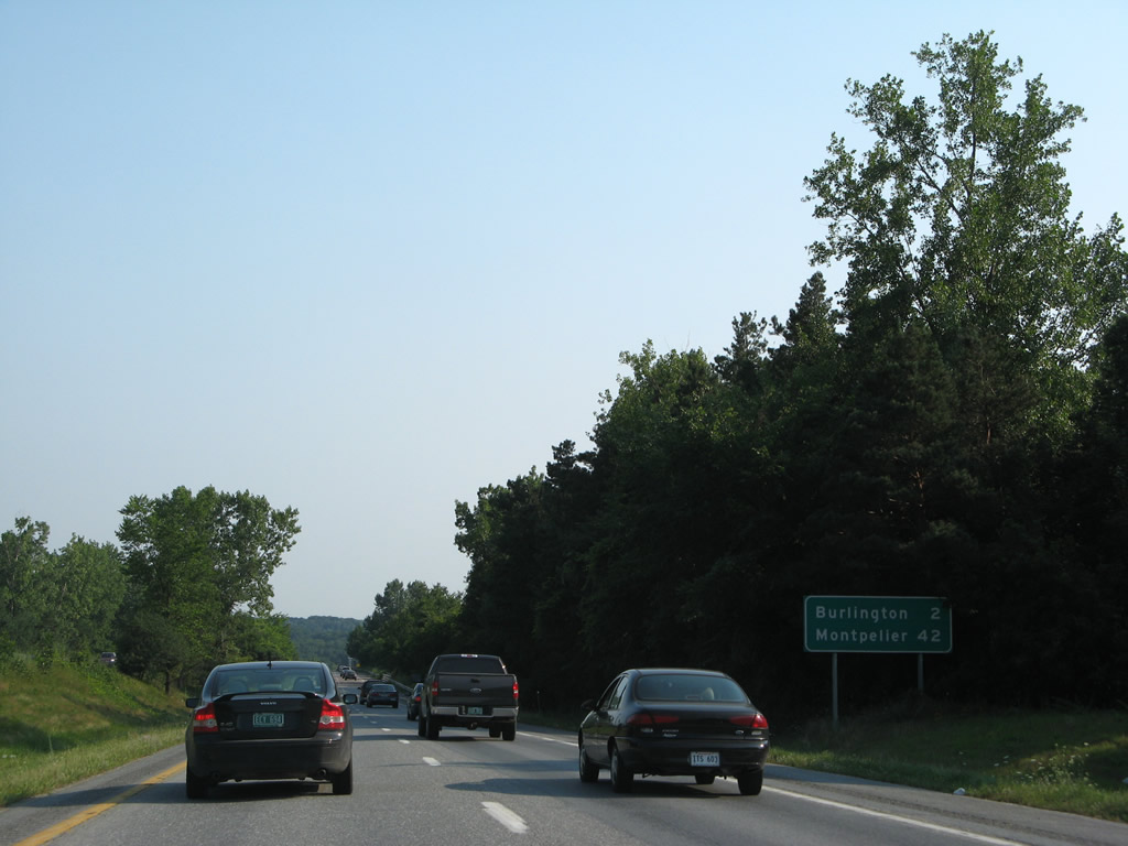
The replacement of this mileage sign posted after Exit 14 revised the distances to both Burlington (three miles) and Montpelier (39 miles). 08/02/07
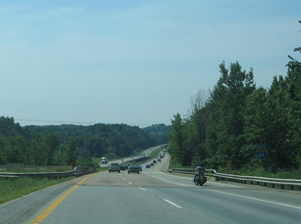
A state-named shield was posted at the Vermont Railway underpass until 2007. It was replaced with a three-digit width shield that was removed by 2011. 07/22/05
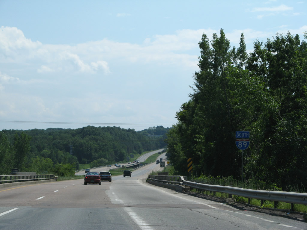
A state-named shield was posted at the Vermont Railway underpass until 2007. It was replaced with a three-digit width shield that was removed by 2011. 07/31/07
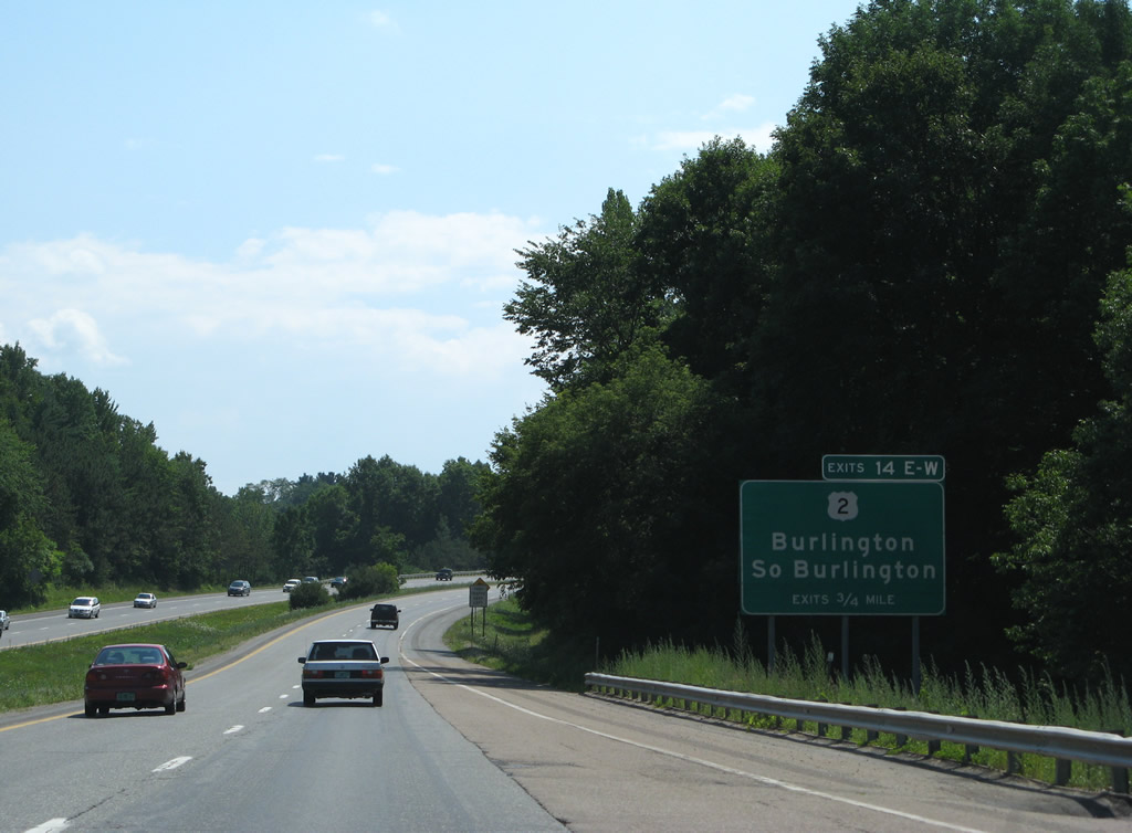
Interstate 89 winds southwest into the city of South Burlington on the approach to Exits 14E/W with U.S. 2 (Williston Road). Note the later addition of the exit tab. 07/31/07
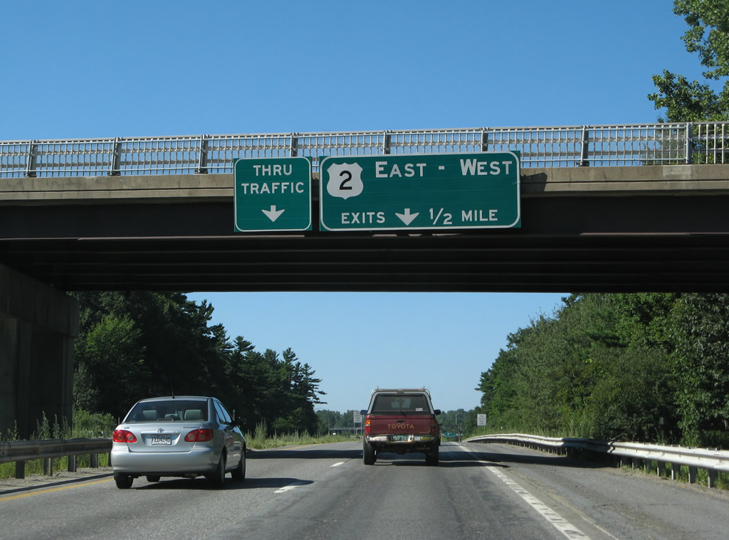
Nondescript signs for Interstate 89 south at the full cloverleaf interchange with U.S. 2. The thru traffic panel was removed, but a new one was added on the subsequent sign bridge by 2007. 08/04/07
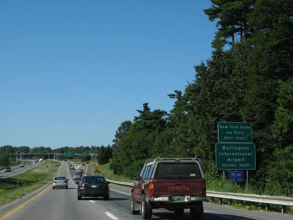
Auxiliary signs for U.S. 2 east to Burlington International Airport (BTV) and west to the Burlington-Port Kent Ferry. The replacement omits the ferry connection to New York state. 08/04/07
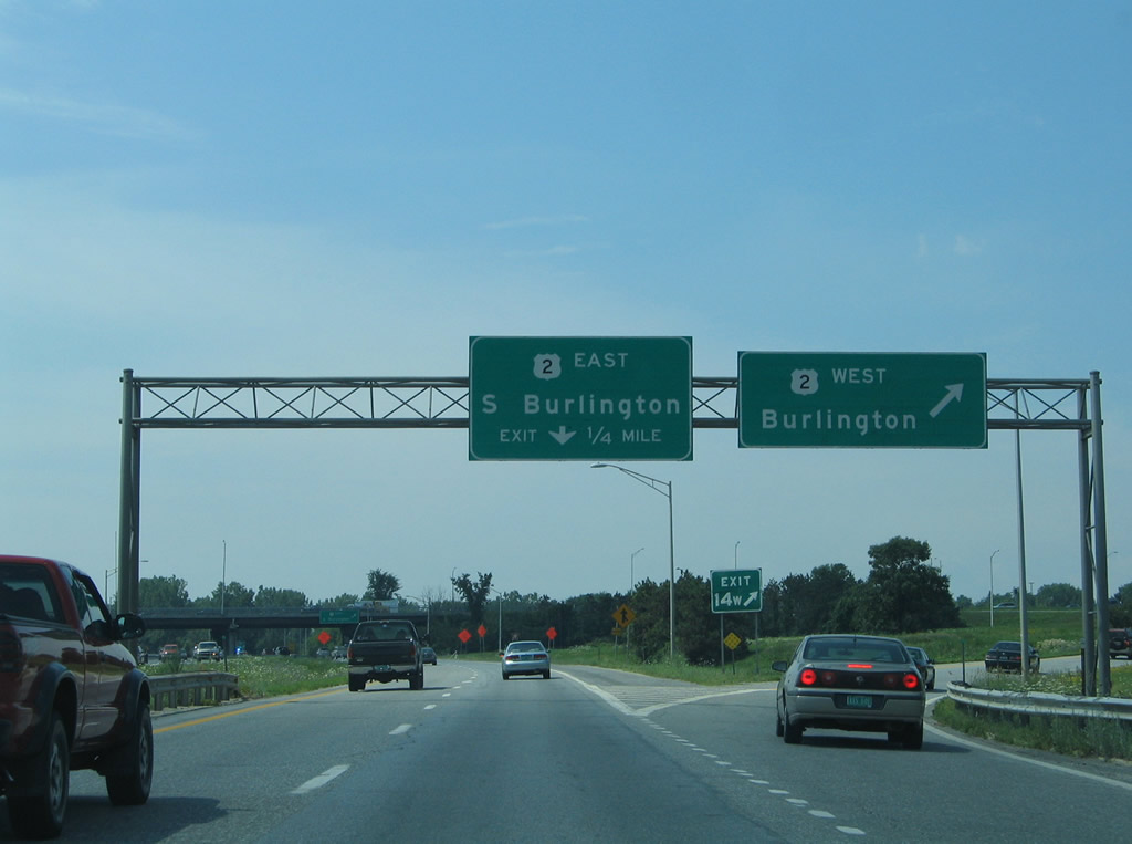
The replaced sign bridge and overheads at the departure of Exit 14W for U.S. 2 into Burlington. 07/22/05
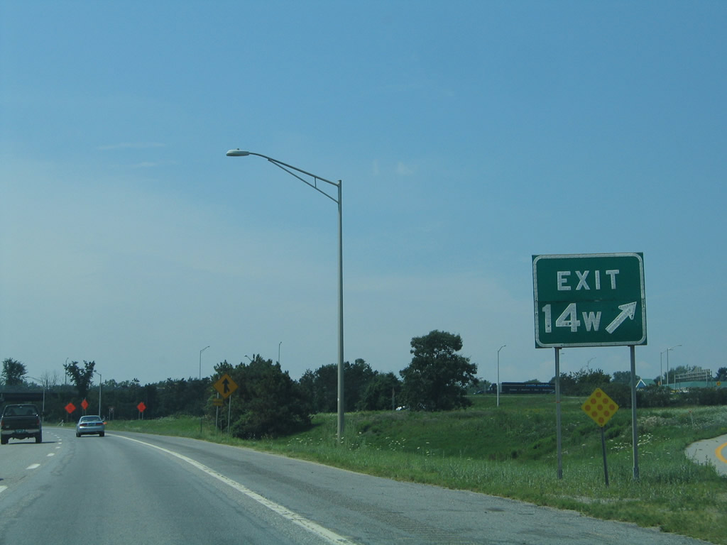
A closer look at the former button copy gore point sign for Exit 14W. 07/22/05
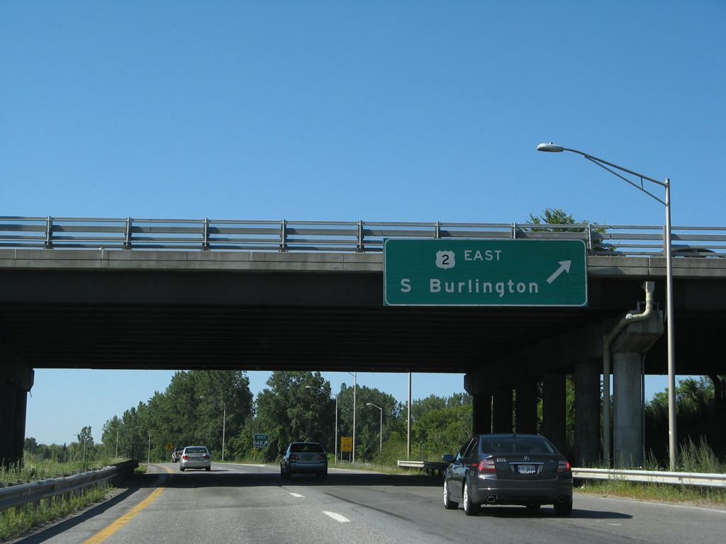
Exit 14E loops away from Interstate 89 south to U.S. 2 (Williston Road) east. A new overhead with Clearview font replaced this sign by 2011. 08/04/07
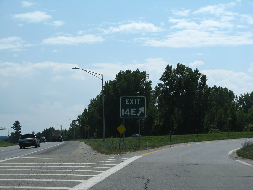
The gore point sign for Exit 14E also retained button copy lettering. The tree line in the background gave way to an apartment complex by 2011. 07/31/07
Photos by AARoads
Page Updated Friday January 24, 2025.