
Interstate 95 North Carolina – North

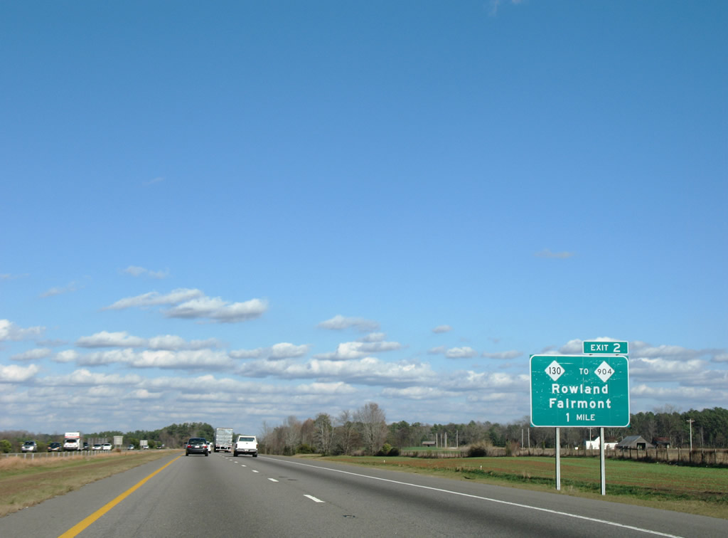
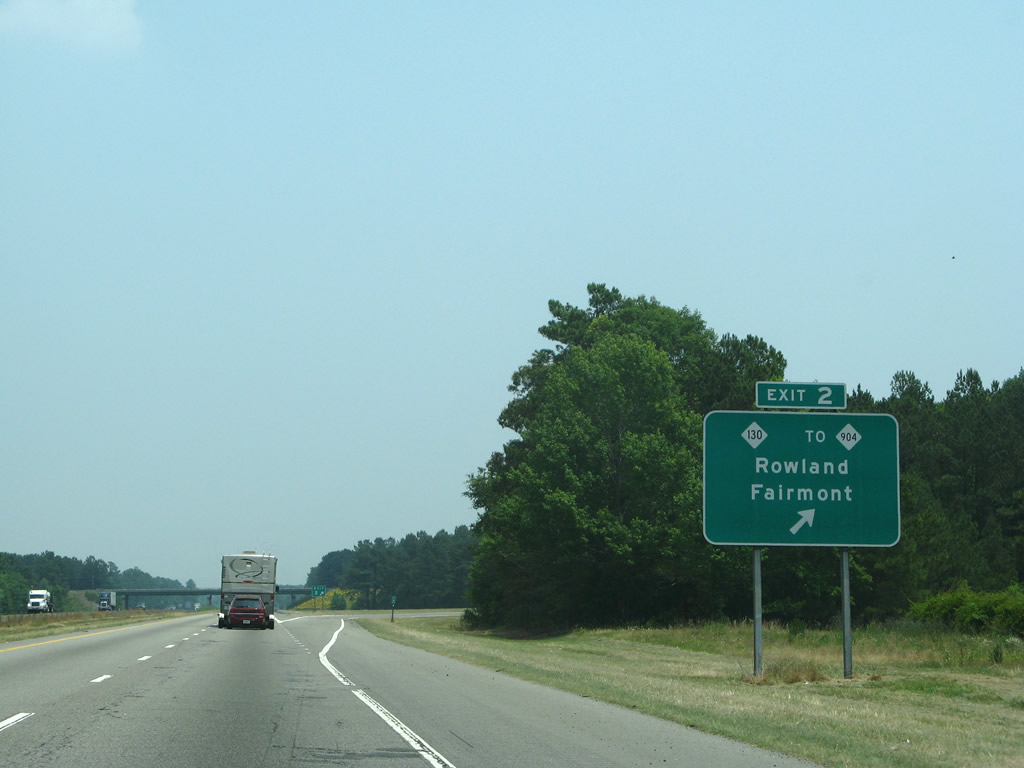
Sign changes at Exit 2 added Historic for the town of Rowland. 12/16/07
05/30/07
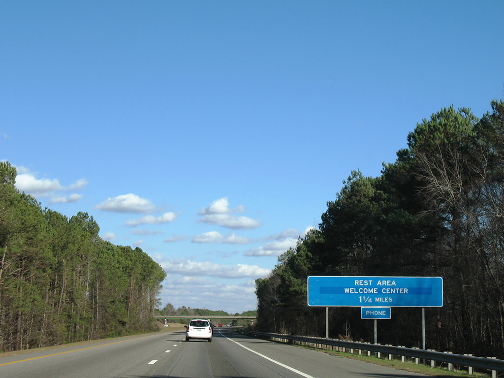
Approaching the NC welcome center. 12/16/07
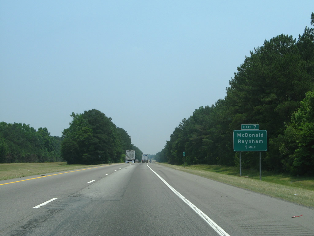
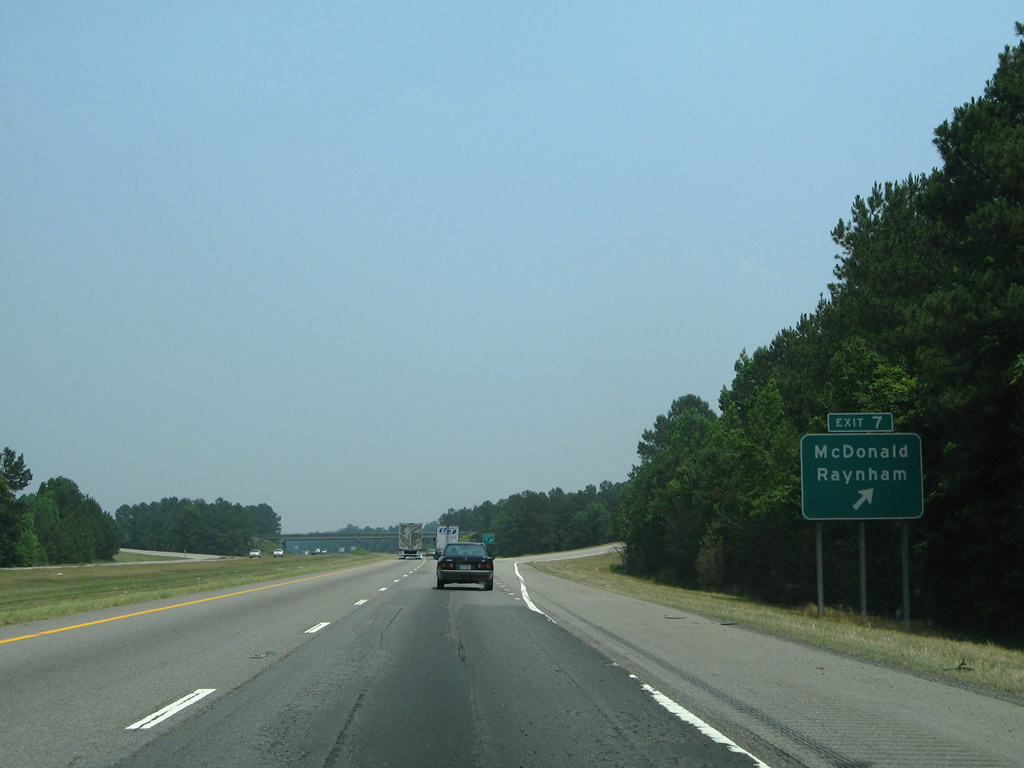
One mile south of Exit 7. 05/30/07
05/30/07
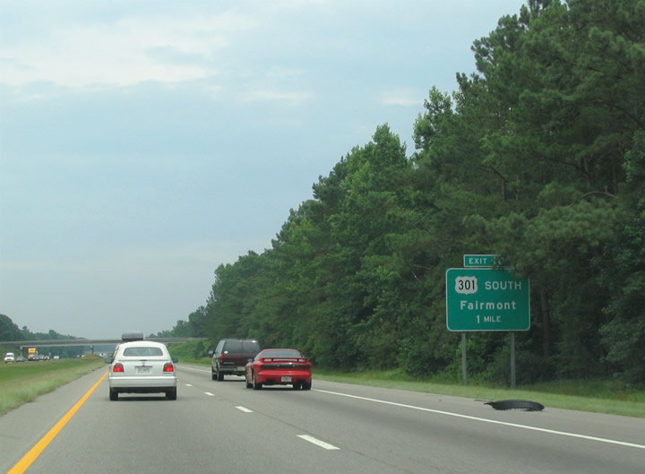
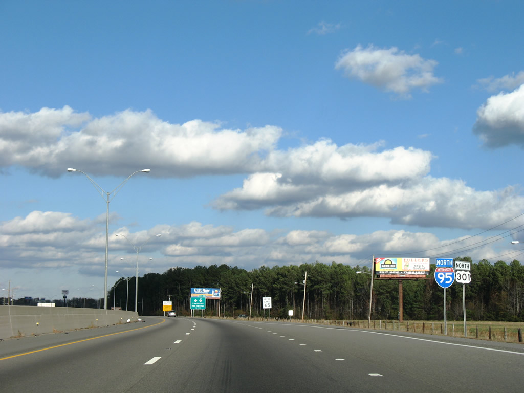
US 301 combines with I-95 at forthcoming Exit 10. 06/25/05
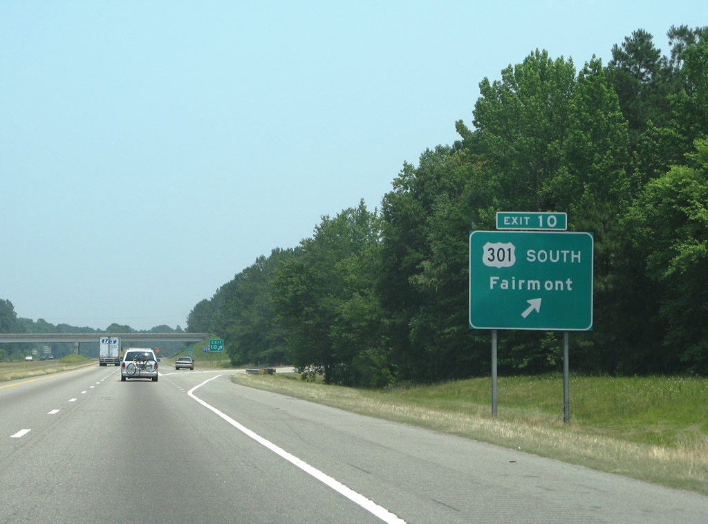
This Exit 10 sign was taken down by an accident in late 2007. 05/30/07
Eliminated due to construction of I-74, U.S. 74 formerly met I-95/US 301 at a diamond interchange south of Lumberton. 05/30/07

Construction for the cloverleaf interchange joining I-74/95. 05/30/07
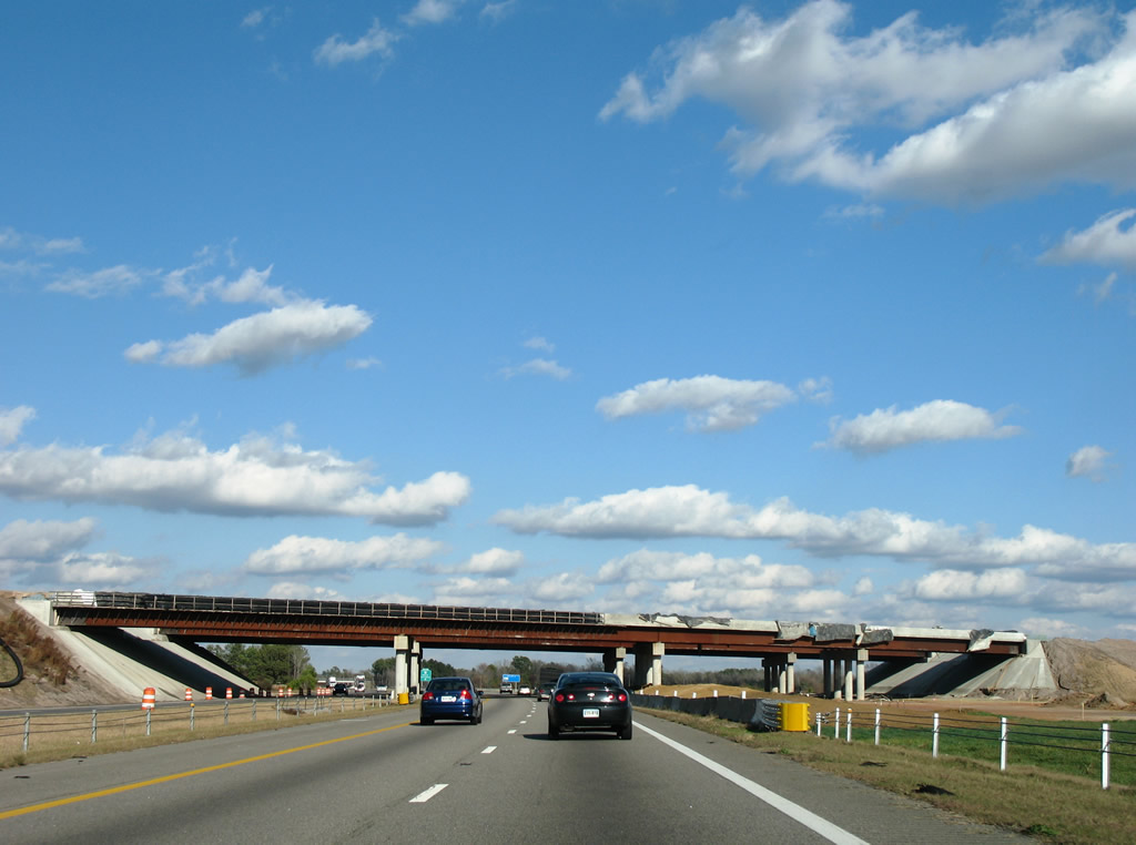
I-95 north at I-74 near Lumberton. 12/16/07
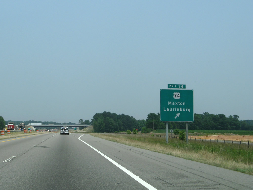
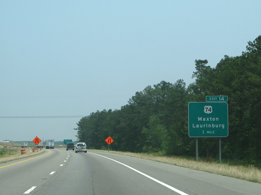
Clover Road lined the east side of I-95 at Exit 14 for U.S. 74. The frontage road was displaced by the exchange with I-74. 05/30/07
Replaced shield assembly for I-95 and U.S. 301 north that was posted after the former on-ramp from U.S. 74 Alternate (old Exit 14). The newer assembly sees the shields posted side by side. 12/16/07
A new mileage sign was posted one mile further south, reflecting the c/d roadway return from I-74/U.S. 74 at the former diamond interchange with U.S. 74 Alternate (Andrew Jackson Highway). 12/16/07
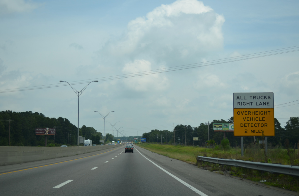
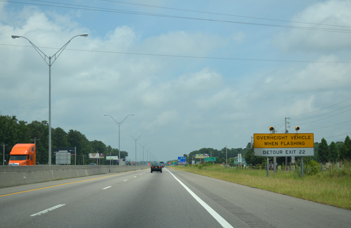
All trucks previously were required to move into the right lane for an overheight vehicle detector ahead of Exit 22. This was the first of several warning signs for the original low clearance bridge of U.S. 301 north of Lumberton. 07/28/13
I-95 and U.S. 301 north after Exit 19. 12/16/07
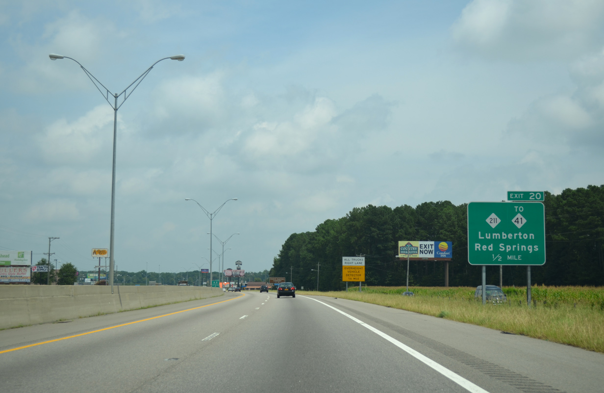
The half mile sign for Exit 20 was replaced by 2017. 07/28/13
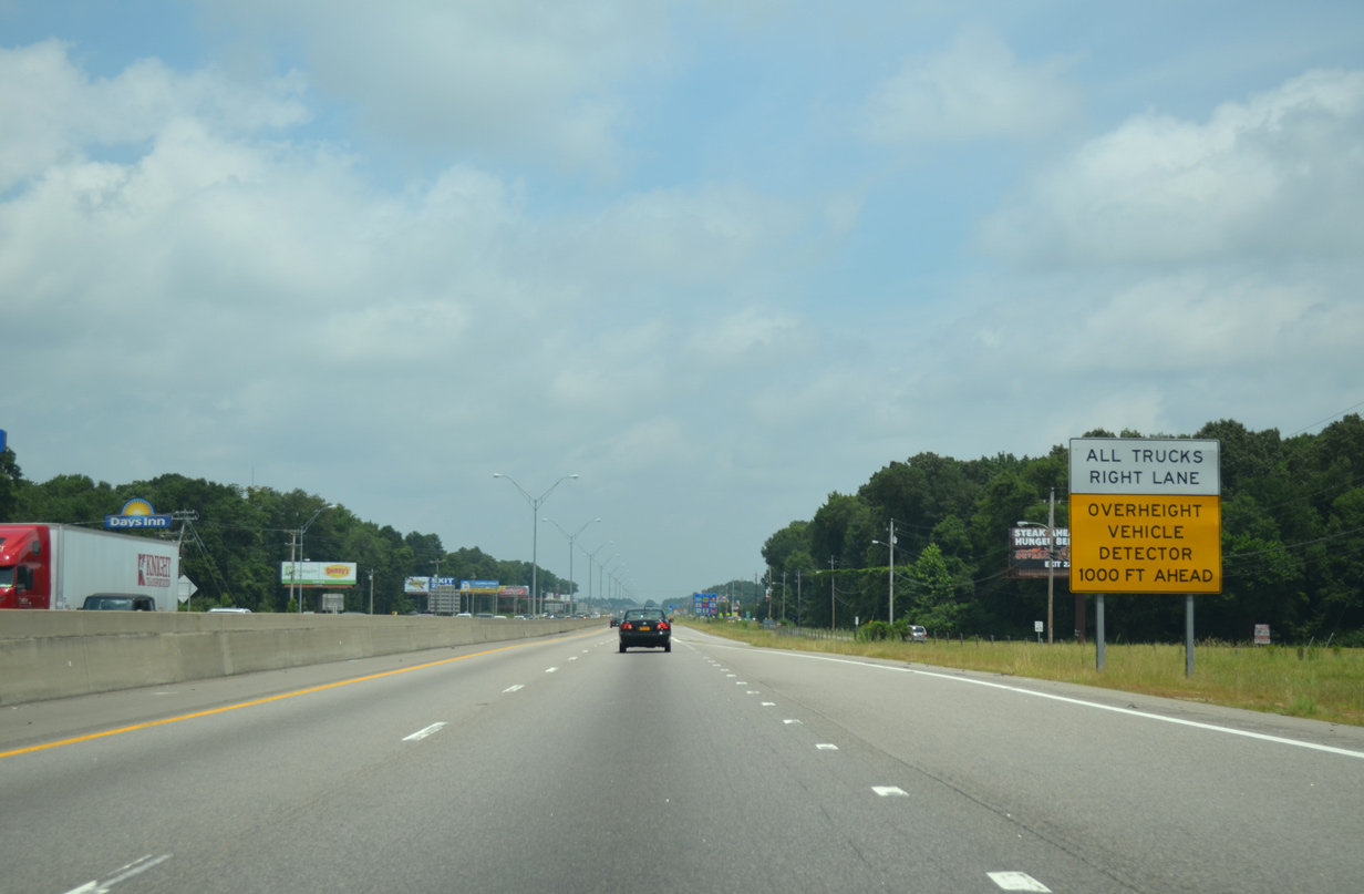
Truckers exceeding the minimum height clearance for the original Fayetteville Road (U.S. 301) overpass were directed to use ramps at Exit 22 to circumvent the crossing. 07/28/13
The low clearance overpass at Exit 22 was replaced as part of a 2012-2015 diverging diamond interchange (DDI) project. 07/28/13
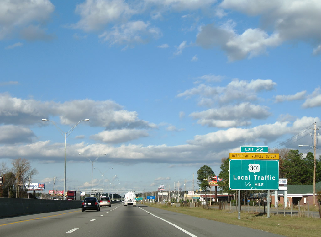
Guide signs for Exit 22 were replaced after 2007. 12/16/07
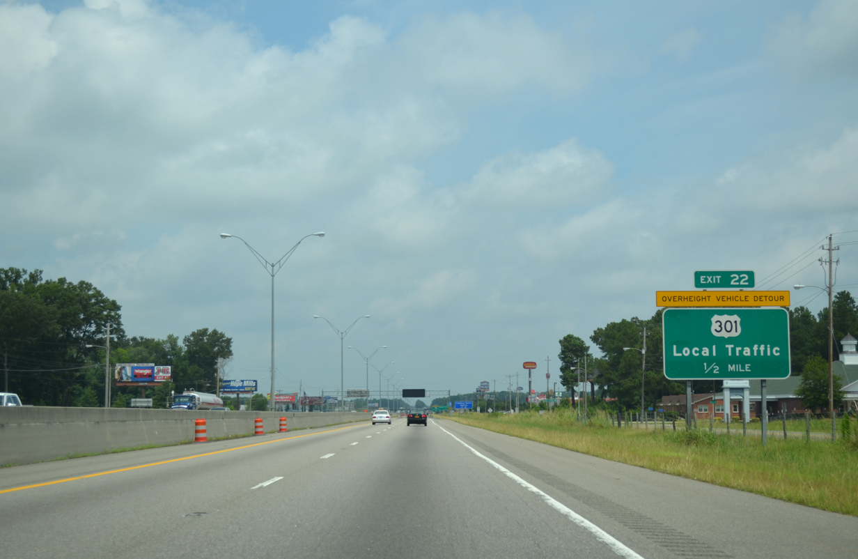
Carbon copied sign for Exit 22. 07/28/13

Exit 22 for U.S. 301 north was previously signed for Local Traffic. 12/16/07

07/28/13

Pier supports for the eventual split overpasses of Fayetteville Road at the DDI took shape in this photo taken 10 months after construction began to upgrade Exit 22. 07/28/13

Both guide signs preceding the diamond interchange (Exit 25) with U.S. 301 were replaced after 2007. 12/16/07

05/30/07

Signs for Exit 31 were replaced by 2013. 05/30/07

New signs for Exit 31 have rounded edges, more consistent with NCDOT signing practices. 05/30/07

Passing over NC 20, this guide sign was posted 1.5 miles ahead of Exit 33 for the return of U.S. 301 from St. Pauls. It was replaced after 2007 with a rounded edge sign. 12/16/07

Northbound at Exit 33 to U.S. 301 at the onset of a major traffic jam. The sign replacement here included shifting the exit tab to the right. 12/16/07

The one-mile overhead for Business Loop I-95 north to U.S. 301 and the city of Fayetteville (Exit 40) was previously mounted to the Green Springs Road over crossing. 06/25/05

Exit 40 leaves Interstate 95 north with two lanes for the Fayetteville Business Loop beyond the Roslin Farm Road overpass. This overhead was replaced by 2013 and no longer includes LOOP for the business route. 05/30/07

Exit 40 signage now references Pope AAF (Army Airfield) instead of Pope AFB. Lighting fixtures were removed with replacements made by 2013. 05/30/07

Interstate 95 veers eastward to meet NC 59 and Chicken Foot Road (SR 2252) in one mile. Guide signs for forthcoming Exit 41 were replaced by 2013. 05/30/07

Entering the rural diamond interchange with NC 59 north and SR 2252 (Chicken Foot Road) south on I-95 north. 05/30/07

Tom Starling Road (SR 1220) spans Interstate 95 beyond the former one mile guide sign for Exit 44. 05/30/07

Crossing Rockfish Creek, Interstate 95 northbound reached Exit 44 to Claude Lee Road (SR 2341) north to FAY Airport. 05/30/07

All signs for Exits 46A/B to NC 87 were replaced by 2013. 05/30/07

NC 87 runs nearly 237 miles from Southport on the Atlantic coast to become Virginia Route 87 north of Reidsville. 05/30/07

A c/d roadway shifts all movements to Exits 46A/B with the NC 87 freeway away from the I-95 mainline. 05/30/07

Sign replacements here included the removal of overhead lighting fixtures. 05/30/07
Photos by AARoads, Carter Buchanan (06/25/05)
Page Updated Friday January 24, 2025.