
Interstate 395 Connecticut
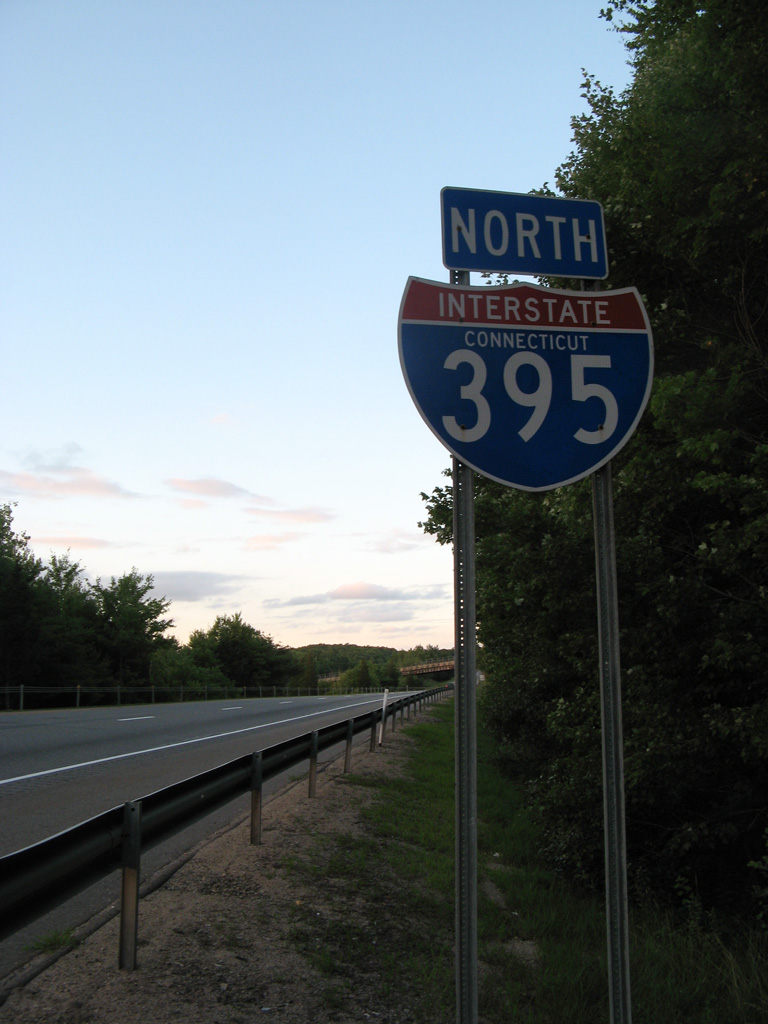
Confirming marker for I-395 north posted after Route 200 in the town of Thompson. 01/28/25
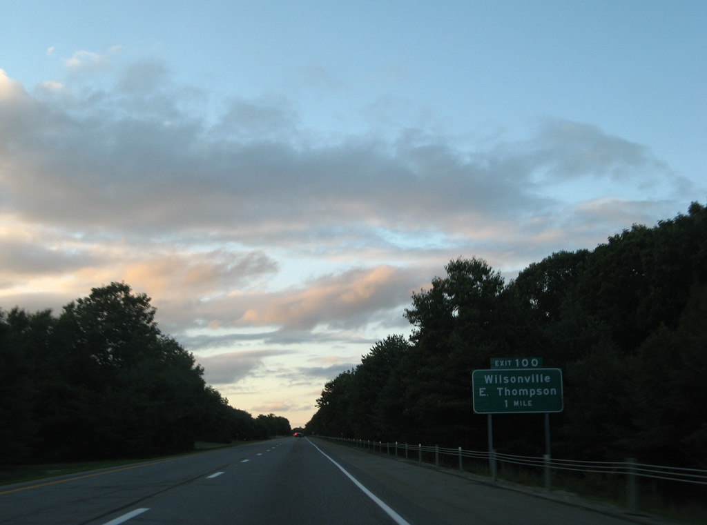
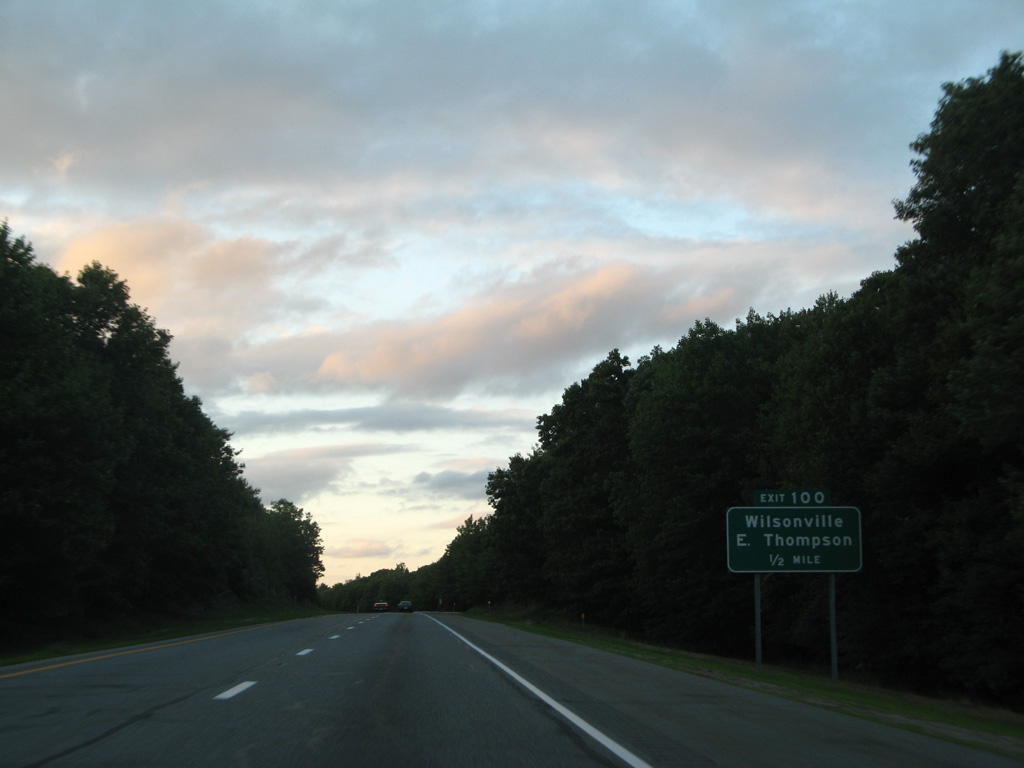
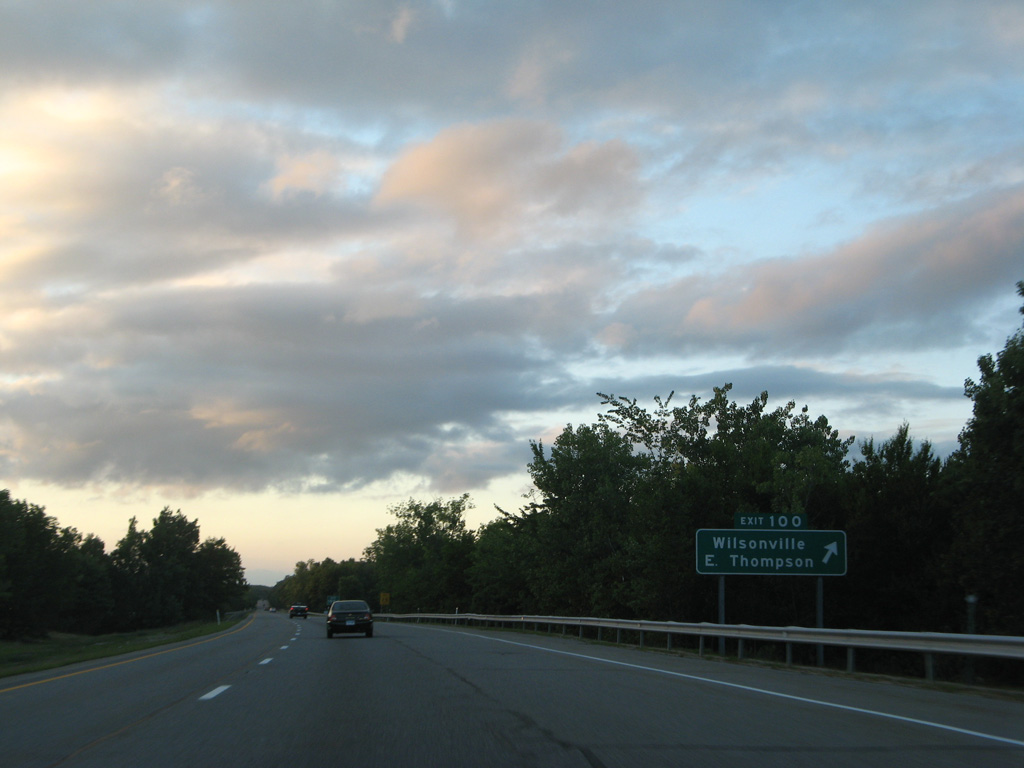
One mile ahead of the diamond interchange with Wilsonville Road on I-395 north. 01/28/25
A forested median separates traffic throughout the drive north from Route 200 to Wilsonville Road. 01/28/25
The last Connecticut exit on I-395 north was renumbered from 100 to 53. 01/28/25
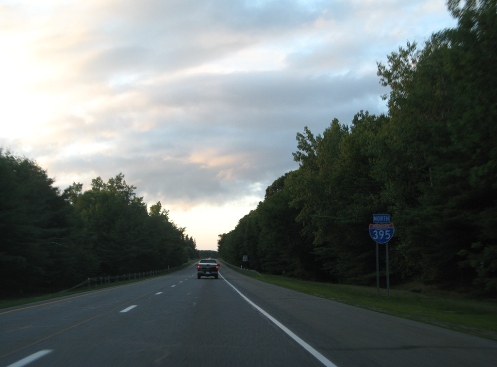
The final reassurance marker for I-395 stands north of Wilsonville Road. 01/28/25
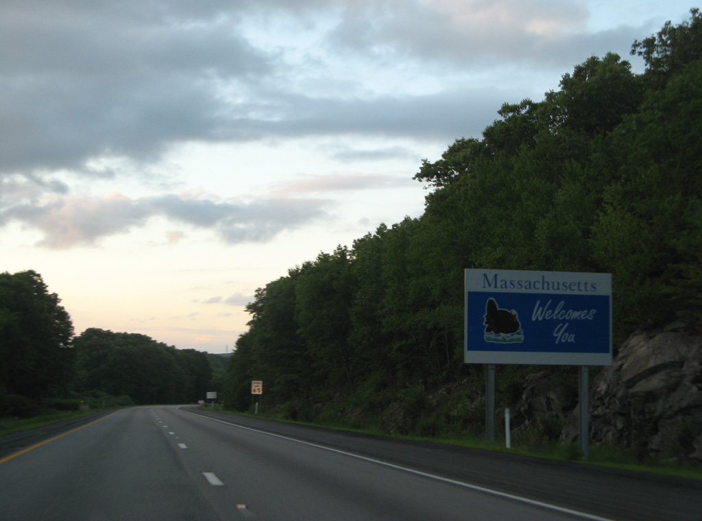
Welcome to Massachusetts sign posted to the immediate north of the state line on I-395 northbound. 01/28/25
Photos by AARoads
Page Updated Friday January 17, 2025.