
Delaware Route 1 South Archive

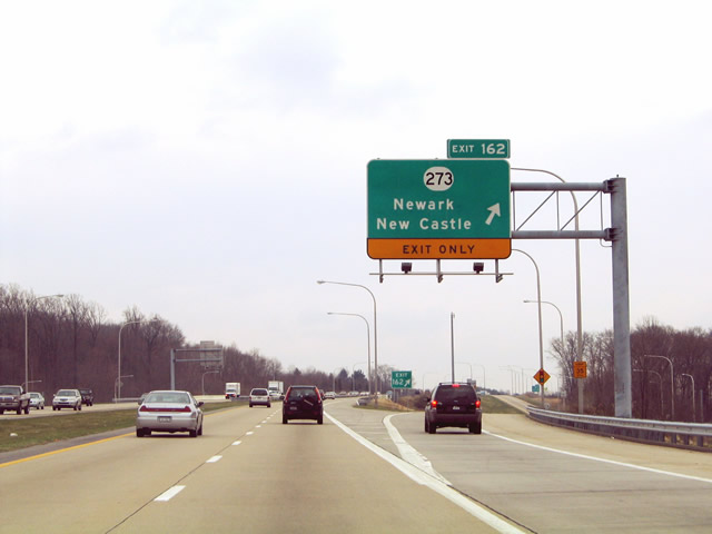
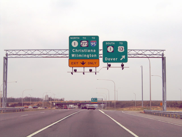
Spanning the Christina River, the SR 7 entrance formed a third southbound lane to Exit 162 with SR 273. This overhead was replaced after 2007. 08/05/07
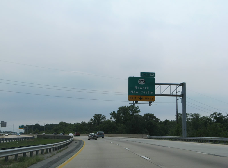
Southbound SR 1 at Exit 162. This overhead was replaced by 2007. 03/27/04
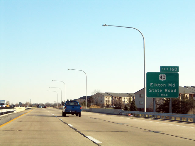
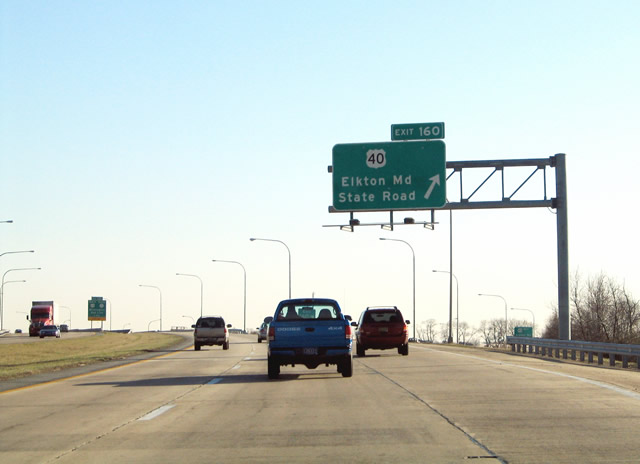
Opened to traffic in 1991, a large portion of the homes and businesses alongside SR 1 had yet to be built. All original signs for Exit 160 were replaced with carbon copies in the mid 2000s. 03/22/04
Suburban development fronts SR 1 southward from Exit 162 (SR 273) U.S. 13 at Tybouts Corner. The parclo interchange with U.S. 40 (Pulaski Highway) represents the commercial hub of Bear. 06/17/12
An auxiliary lane was constructed south from SR 273 to U.S. 40, resulting in new overheads for Exit 160. 12/30/18
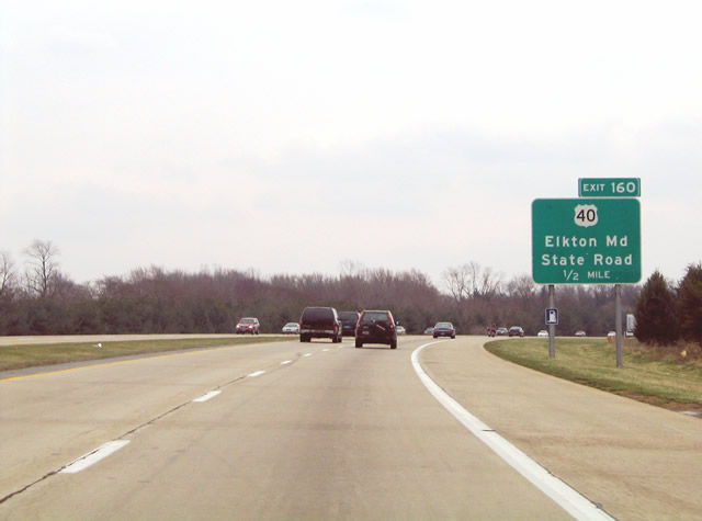
The half mile sign for Exit 160 was replaced in 2007. 03/27/04
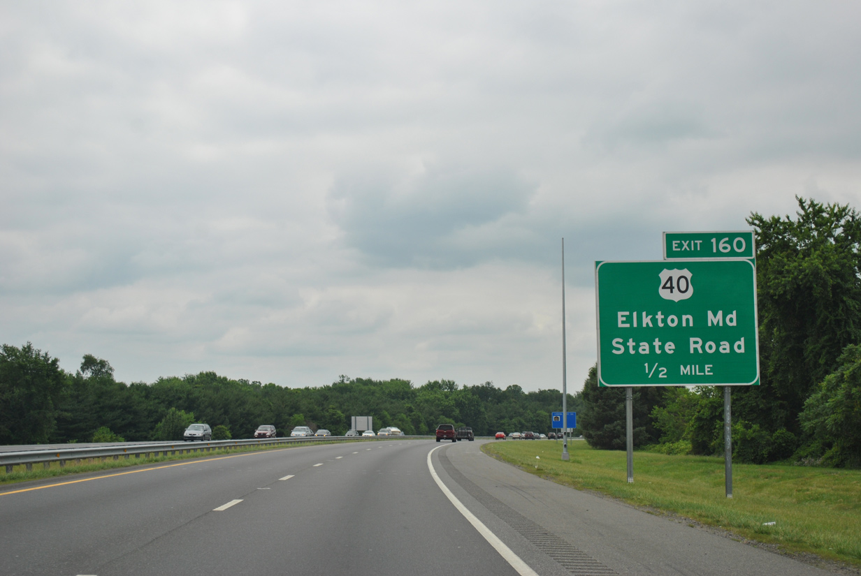
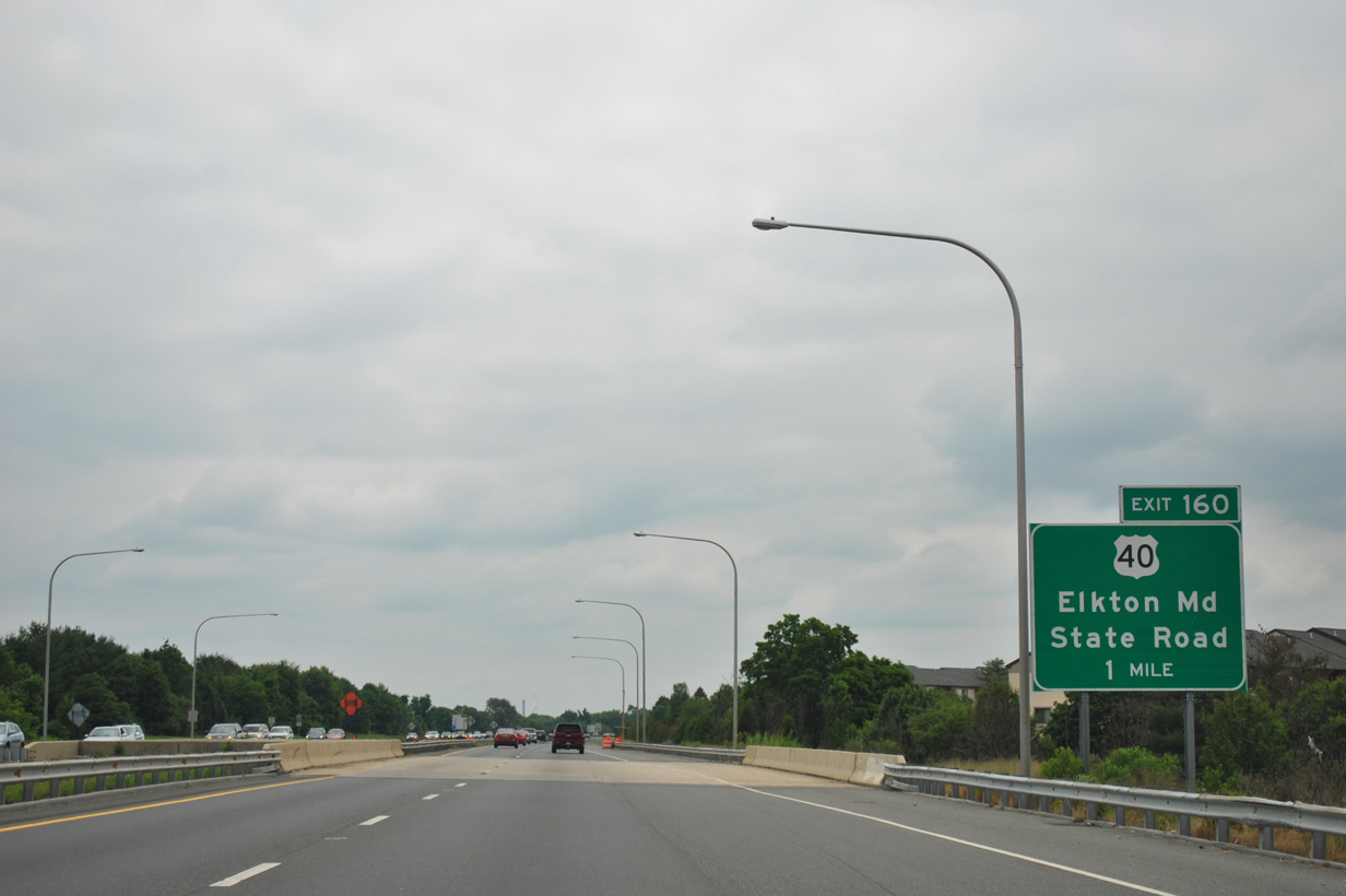
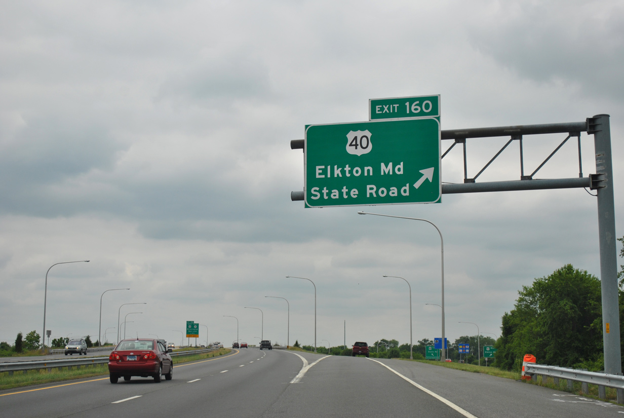
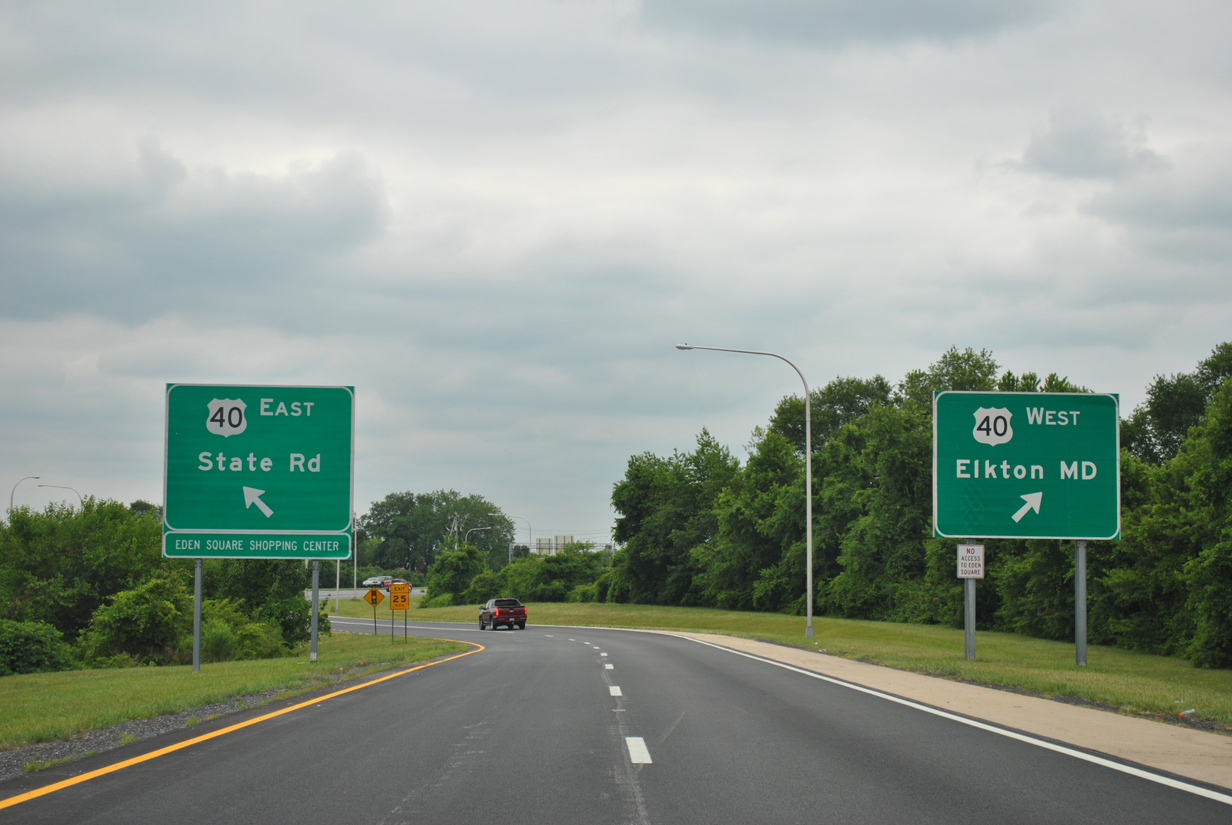
Until 2013, the control points for U.S. 40 (Pulaski Highway) at Exit 160 were State Road and Elkton, Maryland. 06/17/12
12/30/18
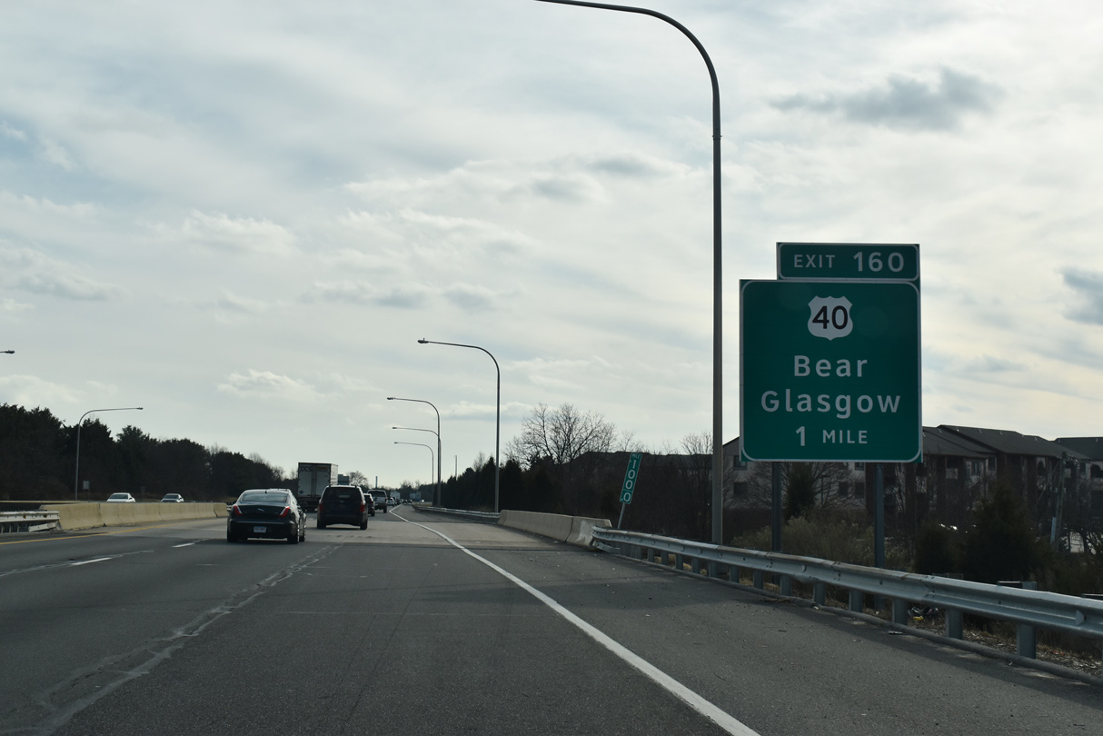
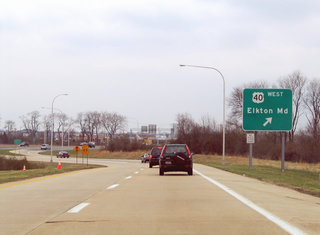
U.S. 40 west from State Road was once touted as the "Delaware Dragstrip" for its straight stretches alongside open farm land to Glasgow. 03/24/04
Exit 160 departs SR 1 south for U.S. 40 in Bear. 06/17/12
With the addition of a southbound lane in 2020, a lane drop occurs at Exit 160 now. 09/27/14
Guide signs accompanied the ramp to U.S. 40 in either direction. Elkton, west of Glasgow, is the seat of Cecil County, Maryland. 03/27/04
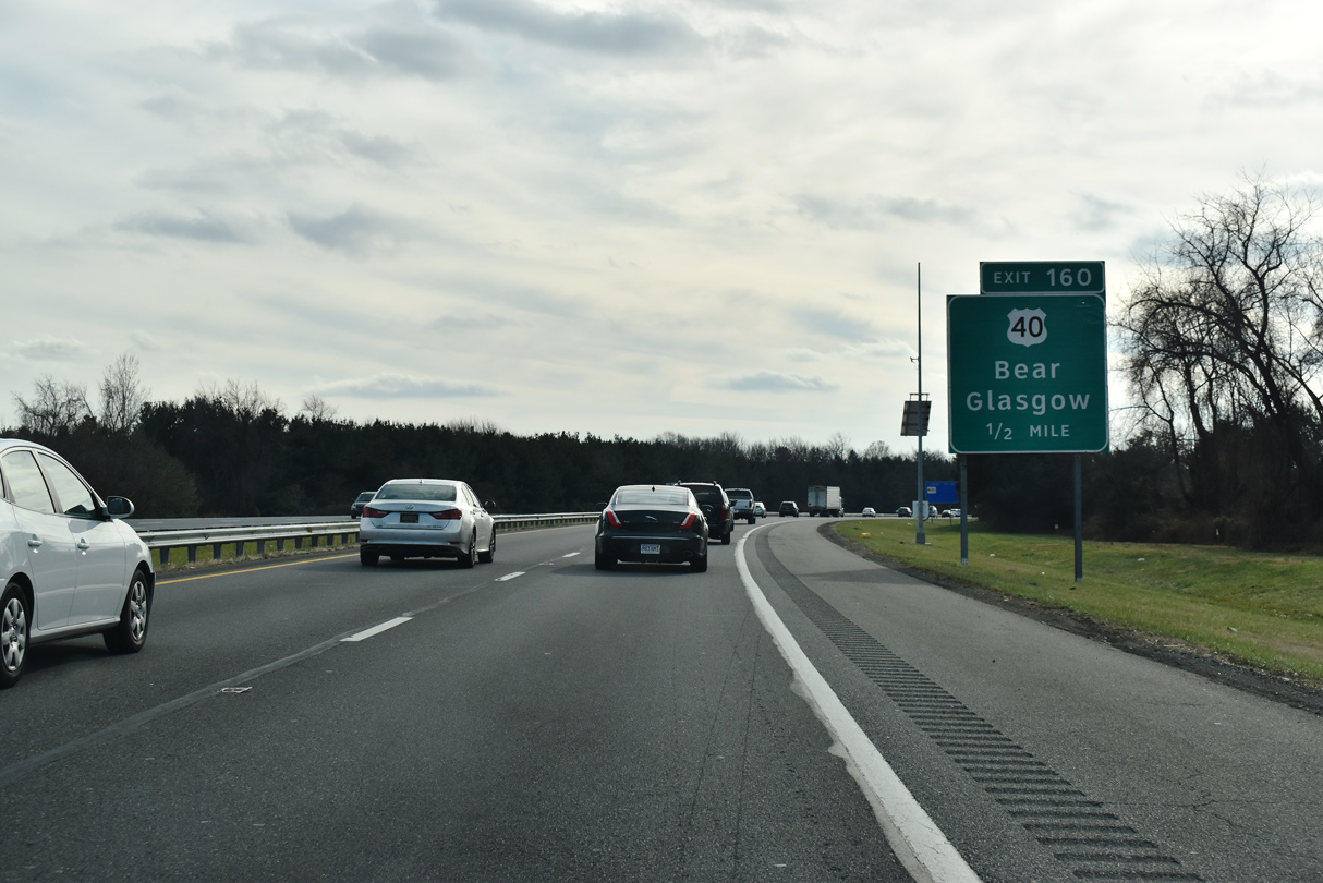
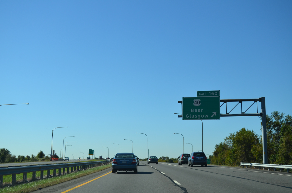
A lone guide sign along the ramp at Exit 160 references U.S. 40 west to Glasgow now. The sign for U.S. 40 east to State Road was removed with control point changes in 2013. 06/17/12
This set of signs along U.S. 40 east at the entrance ramp for SR 1 south was carbon copied after 2008. 03/27/04
Replaced overhead on U.S. 40 (Pulaski Highway) west for SR 1 south at Bear. 03/27/04
A new sign installed in 1998 above U.S. 40 advised traffic of the then-new ramp for SR 71. A previous sign dating from 1991 indicated "SR 1 south - Seashore Points straight ahead". 03/24/04
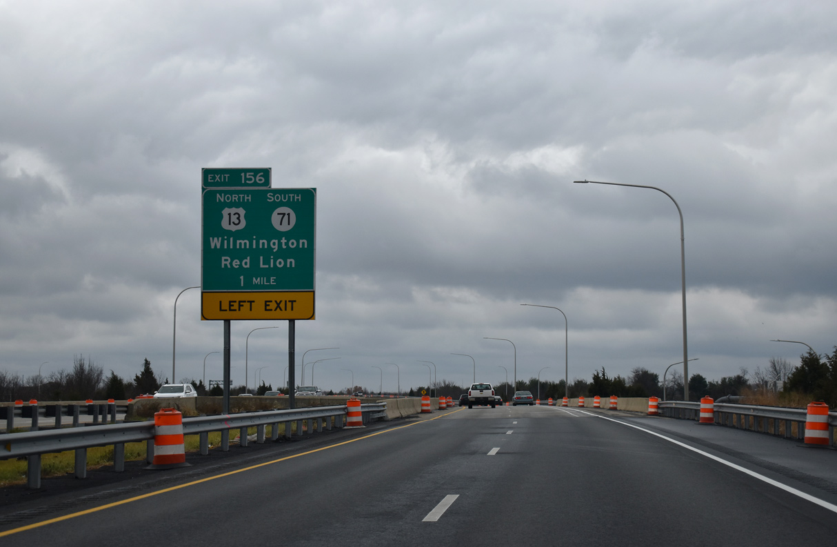
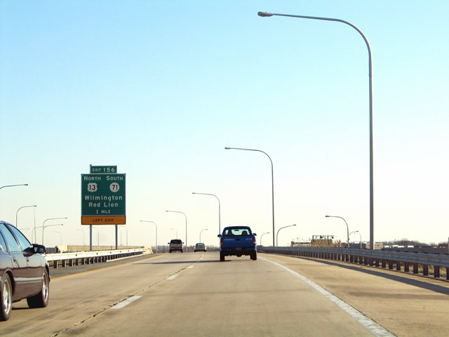
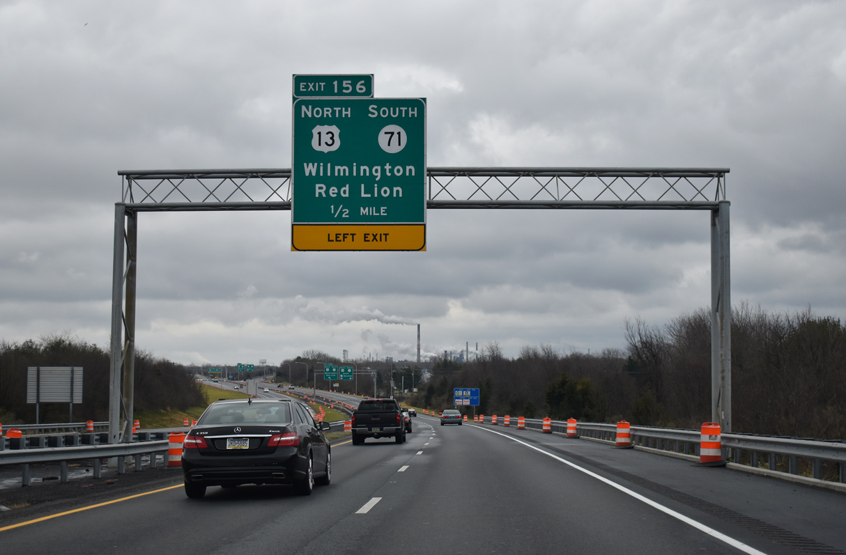
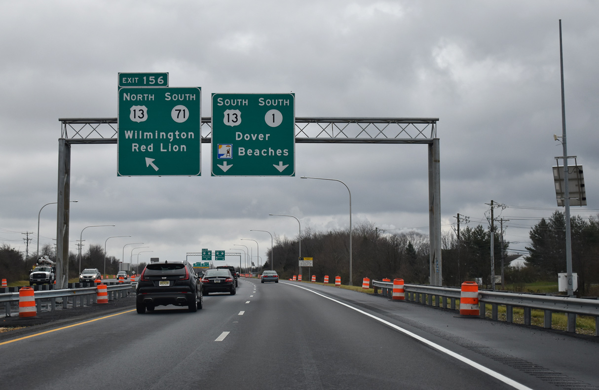
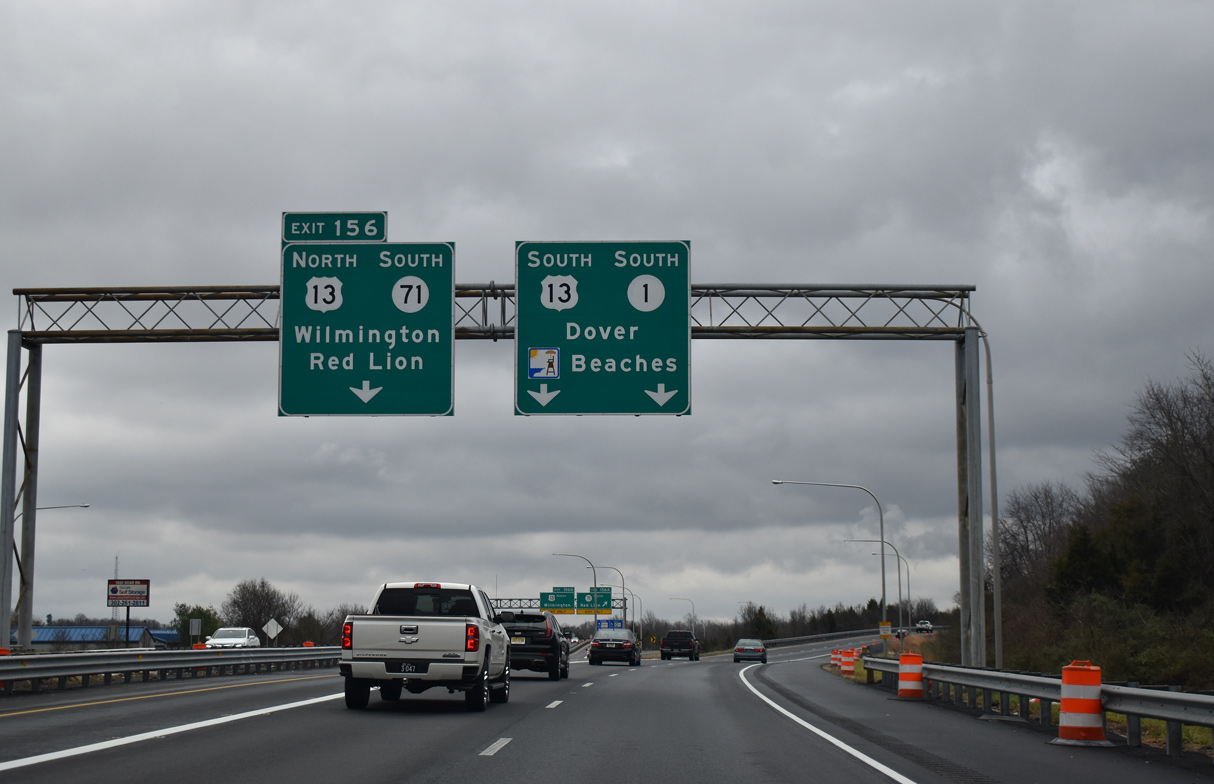
All guide signs for Exit 156 were replaced in 2021 with the installation of new monotubes. 12/25/20
Concrete roadways along SR 1 south from SR 273 to U.S. 13 were paved over with asphalt by 2007. 12/25/20
12/25/20
12/25/20
Photos by AARoads, Adam Froehlig (02/18/02, 04/04/04)
References:
Page Updated Friday January 24, 2025.