
Interstate 495 Delaware Archive

This 2004-installed sign for Twelfth Street was replaced by June 2008. 03/27/04

A 2004-installed overhead for Twelfth Street at Exit 3 from Interstate 495 south. 03/27/04
Interstate 495 southbound ascends the six-lane Christina River bridge from Cherry Island. Variable Speed Limit signs posted in early 2004 were operational by Summer 2004. 08/07/04
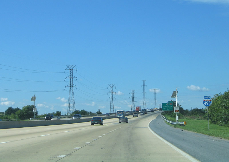
Elevating to cross the Christina River along I-495 south, one mile ahead of Exit 2 to SR 9A (Terminal Avenue). 05/20/07

The Shellpot Bridge, an 1800s-railroad bridge operated by Norfolk Southern, appears adjacent to the Christina River Bridge from Interstate 495 south. 03/27/04

Descending southward on I-495 over the Christina River. Passing underneath the freeway here is Christina Avenue and another Norfolk Southern Railroad line. 08/07/04
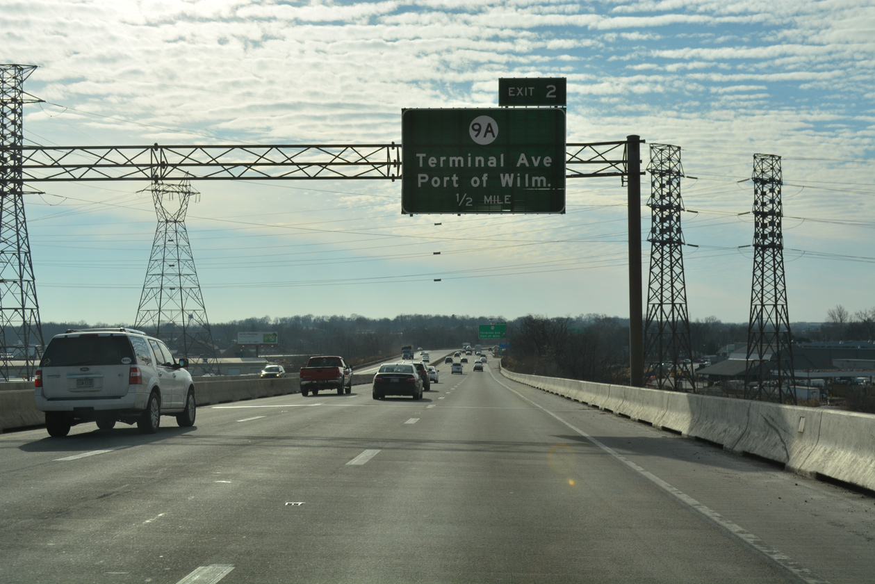
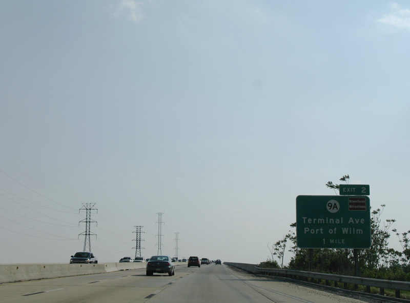
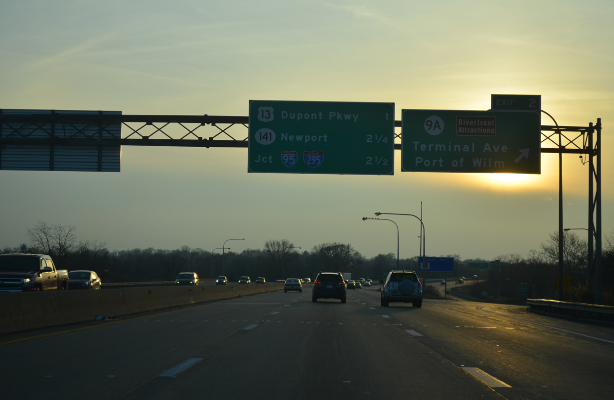
The slotted sign for SR 9A (Terminal Avenue) on I-495 south was installed on June 12, 2005. This sign bridge was replaced in 2018 with a monotube. 12/20/17
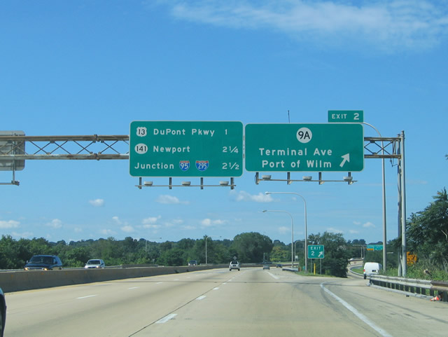
Overheads posted here at Exit 2 to SR 9A (Terminal Avenue) were replaced by 2008. I-495 ends in 2.5 miles at a wye interchange with I-95 south. 08/07/04
A monotube assembly replaced this set of signs at Exit 2 for SR 9A in 2017 12/25/12

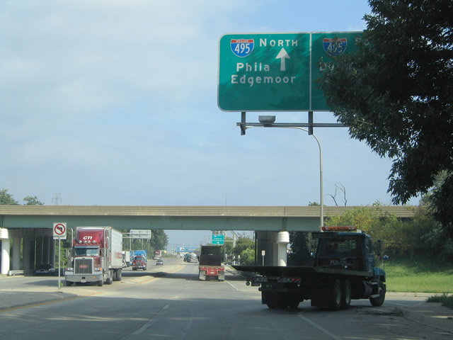
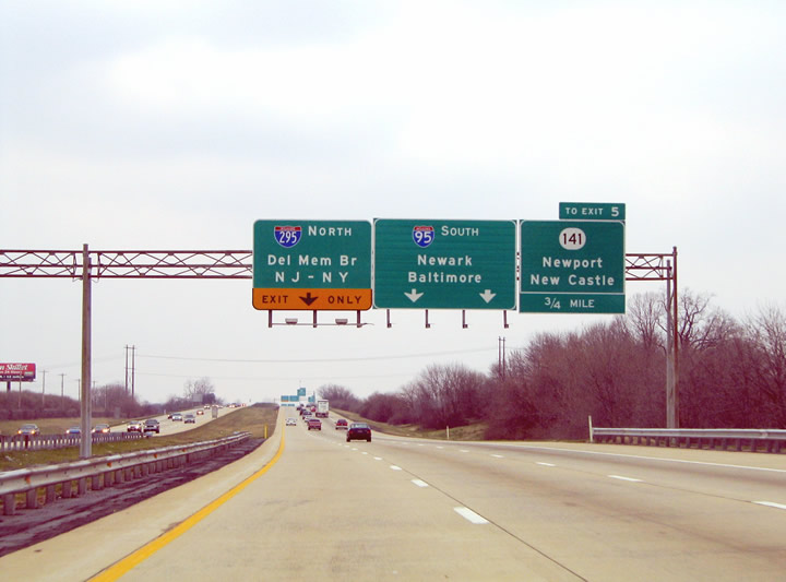
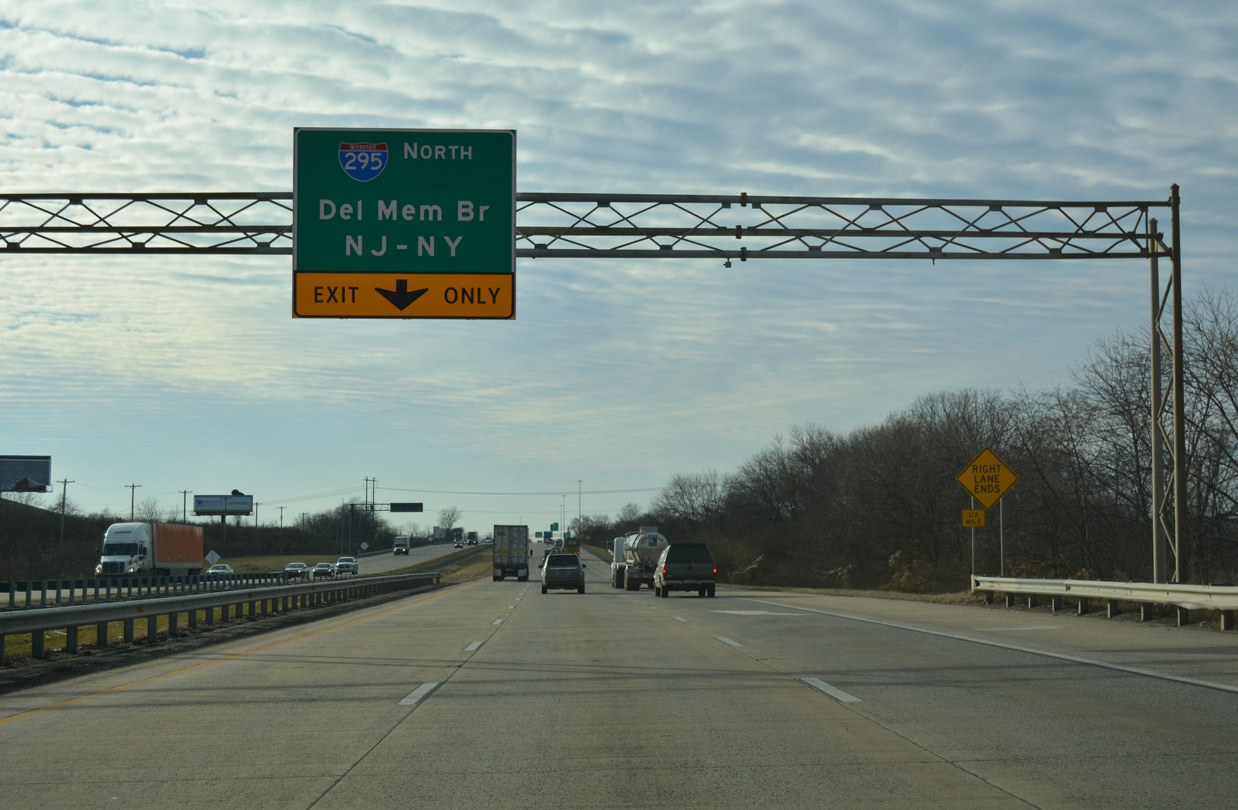
The Interstate 495 mainline defaults onto I-95 south in two miles as a left exit departs for I-295 north. Brackets remained here from a two mile guide sign for SR 141. 08/07/04
SR 9A (Terminal Avenue) east at I-495. This overhead was replaced by 2007. 08/31/04
Signs for Interstate 495 on SR 9A were replaced by 2007. 08/10/04
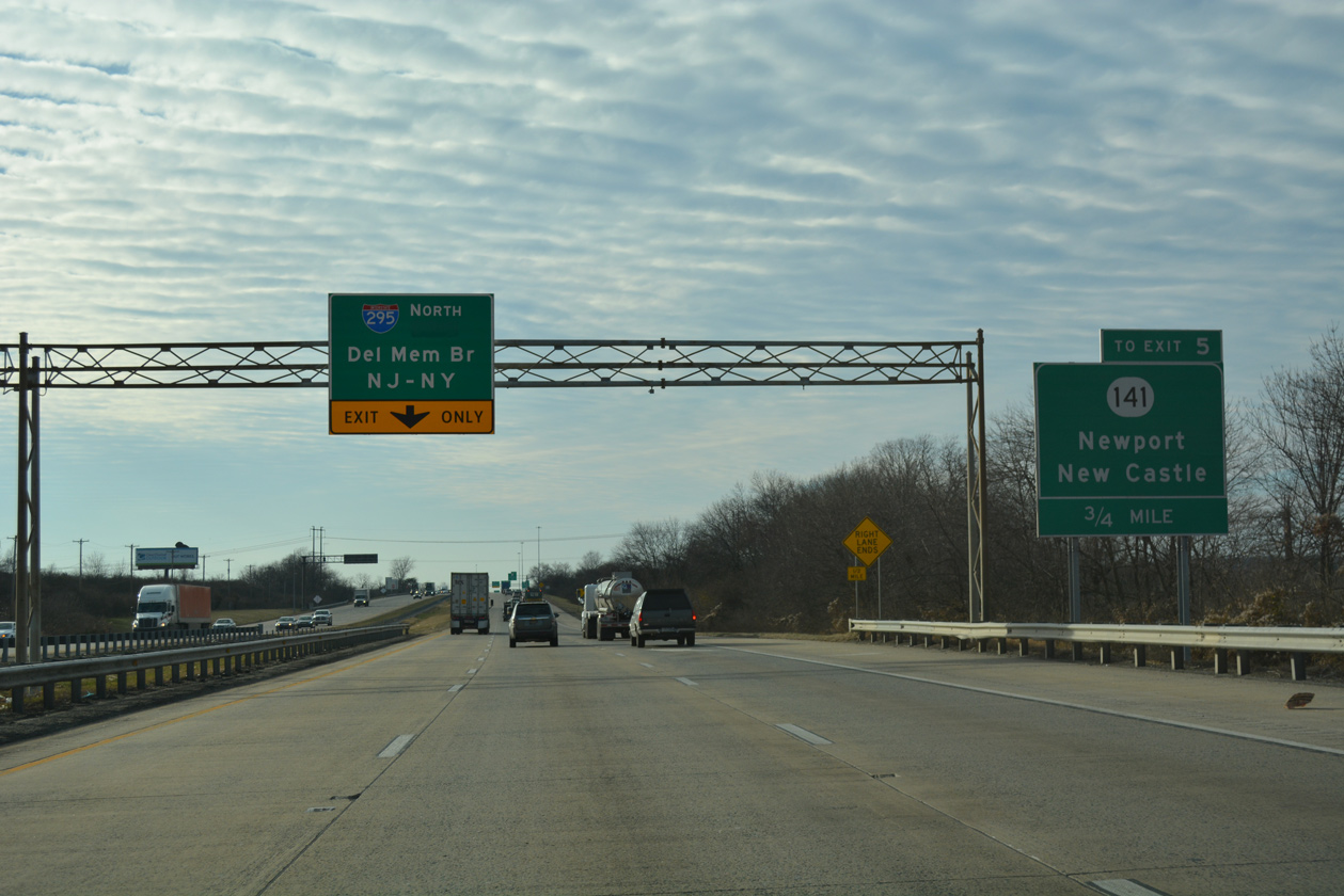
New signs installed in place of these in 2017 reassigned the left exit for I-295 as Exit 0. 12/25/12

A 2004-installed overhead was placed ahead of Exit 1 for New Castle Airport (ILG) and Wilmington Train Center. The sign was later moved to a ground level assembly. 08/07/04

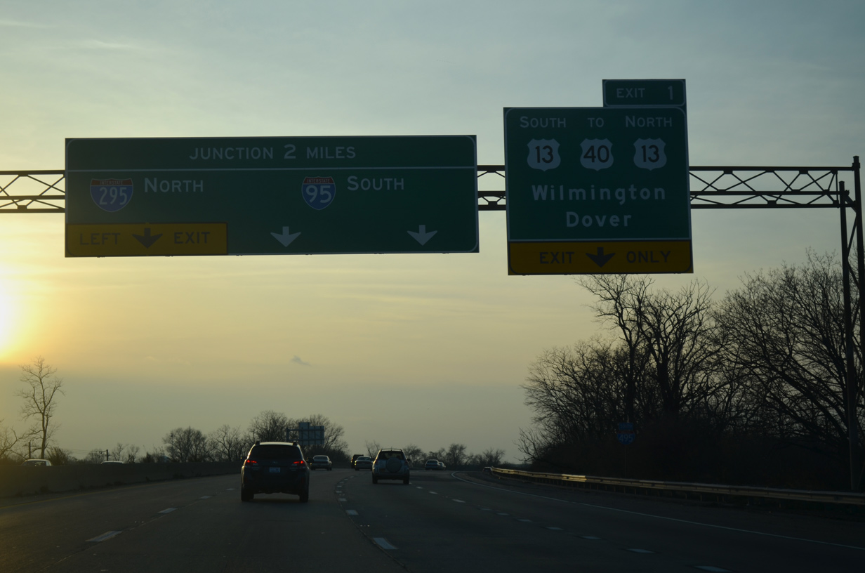
Rogers Road passes over Interstate 495 just ahead of Exit 1 to U.S. 13 (Dupont Highway). A greenout here added Wilmington and a second U.S. 13 shield for the ramp to U.S. 13 north opened in 2000. 08/07/04
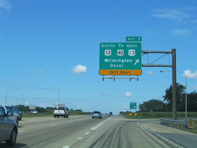
All mainline signs for Exit 1 on I-495 south were carbon copied by 2008. The new signs continued to show south and north U.S. 13 as separate entries, referencing the 2000 change with added northbound access to Wilmington. 08/07/04
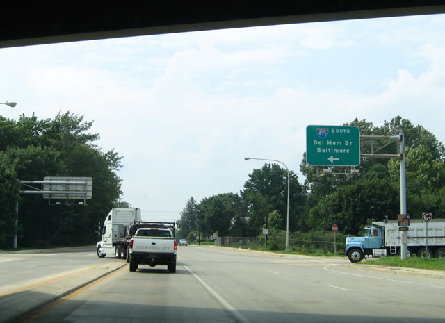
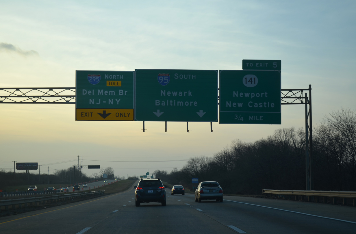
The 0.75 mile green out for SR 141 at the south end of I-495 overlayed a "Must Exit" placard. 03/27/04
12/20/17
The pull through panel for I-95 south here was removed in 2016 and the overhead for SR 141 relocated to ground level. 12/25/12
This sign bridge was removed and replaced with a side mounted monotube for SR 141 in 2018. 12/20/17
Photos by AARoads
References:
Page Updated Friday January 24, 2025.