
Walkabout Wilmington – A stroll through the city Archive
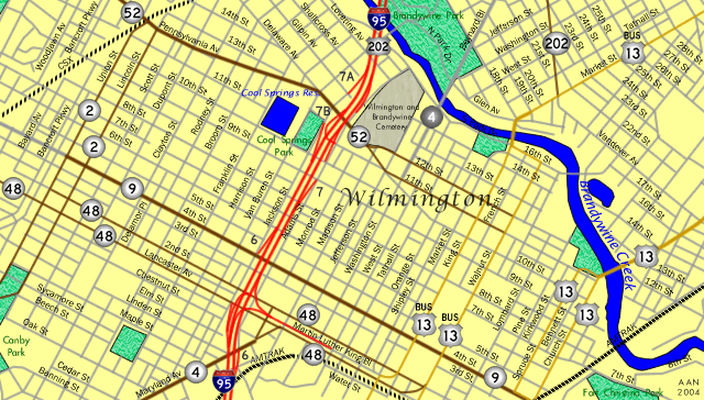
Streets, traffic lights, highway signs and bridges that help make up the Wilmington, Delaware city scape. Photos are cataloged by street and ordered from south to north or west to east.
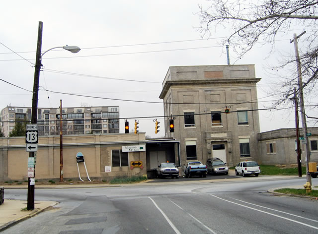
14th Street west at U.S. 13 Business (King Street) south near Midtown Brandywine. King Street flows south with three lanes from the Market Street bridge over Brandywine Creek to LOMA and Dr. Martin Luther King, Jr. Boulevard. 03/30/04
The U.S. 13 Business shield at 16th and Walnut Streets fell off after 2008, and the Business banner was lowered to abut the left arrow. 03/30/04

16th Street (US 13 Business) west at French Street. Buildings in the north and southwest quadrants here were eventually demolished. 03/30/04
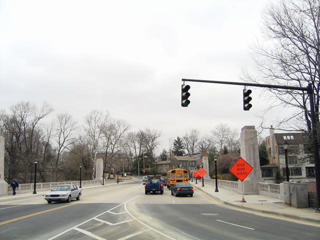
U.S. 13 Business northbound turns north from 16th Street onto the Market Street Bridge across Brandywine Creek. 03/30/04
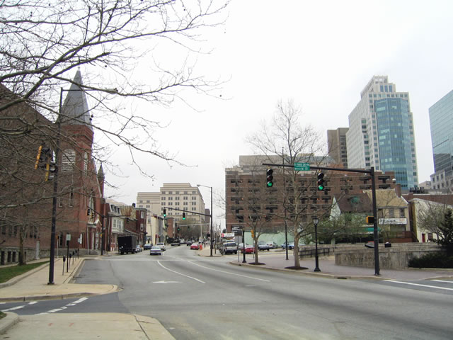
Looking south at the intersection of US 13 Business (Market Street) with 16th Street and Park Drive. 03/30/04
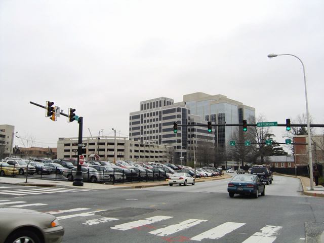
With the former Chase Manhattan buildings overlooking, SR 52 (12th Street) intersects Jefferson Street. 03/30/04
Looking at the intersection of Adams Street and Delaware Avenue from the northeast. Adams Street north is discontinuous across Delaware Avenue. Motorists on SR 52 south cannot access the street north as well. 03/30/04
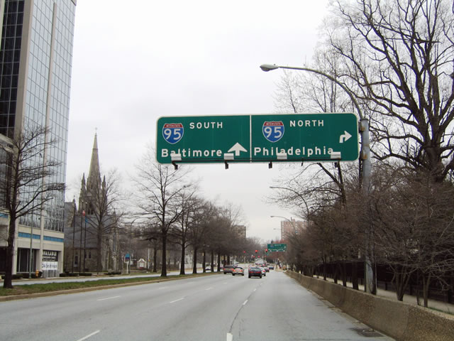
Situated ahead of Adams Street on SR 52 (Delaware Avenue) north were a pair of original guide signs with 2000-replaced shields for I-95. Both signs were carbon copied by 2007. 03/30/04
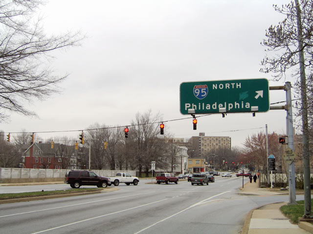
Delaware 52 (Delaware Avenue) north at Adams Street north and the nearby on-ramp for I-95. 03/30/04
Delaware Avenue branches north from Delaware 52 (Pennsylvania Avenue) at Van Buren Street. The initial block to Harrison Street west is one-way north. 03/30/04
Delaware Avenue south defaults onto Harrison Street west to connect with adjacent Pennsylvania Avenue (Delaware 52). Pedestal signals here continuously display red to prohibit motorists from continuing onto the one-way north section of Delaware Avenue. 03/30/04

Delaware Avenue south defaults onto Harrison Street west to connect with adjacent Pennsylvania Avenue (Delaware 52). Pedestal signals here continuously display red to prohibit motorists from continuing onto the one-way north section of Delaware Avenue. 03/30/04
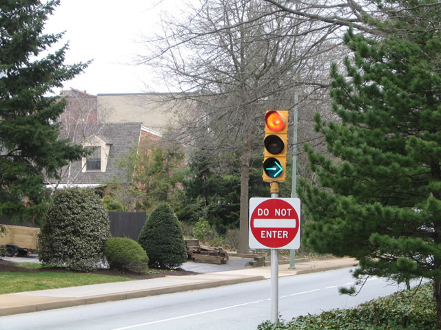
Delaware Avenue south defaults onto Harrison Street west to connect with adjacent Pennsylvania Avenue (Delaware 52). Pedestal signals here continuously display red to prohibit motorists from continuing onto the one-way north section of Delaware Avenue. 03/30/04
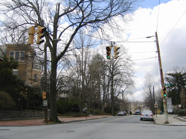
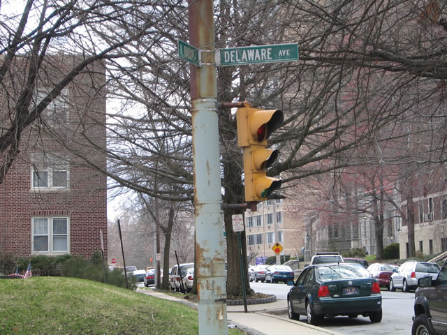
Two blocks removed from Delaware 52 and Pennsylvania Avenue, Delaware Avenue intersects Franklin Street. Similar to Broom Street two blocks to the north, Franklin Street travels north from Maryland Avenue (Delaware 4) through the residential neighborhoods of Hilltop and Cool Spring to Brandywine Park at Lovering Avenue. 04/01/04
Two blocks removed from Delaware 52 and Pennsylvania Avenue, Delaware Avenue intersects Franklin Street. Similar to Broom Street two blocks to the north, Franklin Street travels north from Maryland Avenue (Delaware 4) through the residential neighborhoods of Hilltop and Cool Spring to Brandywine Park at Lovering Avenue. 04/01/04
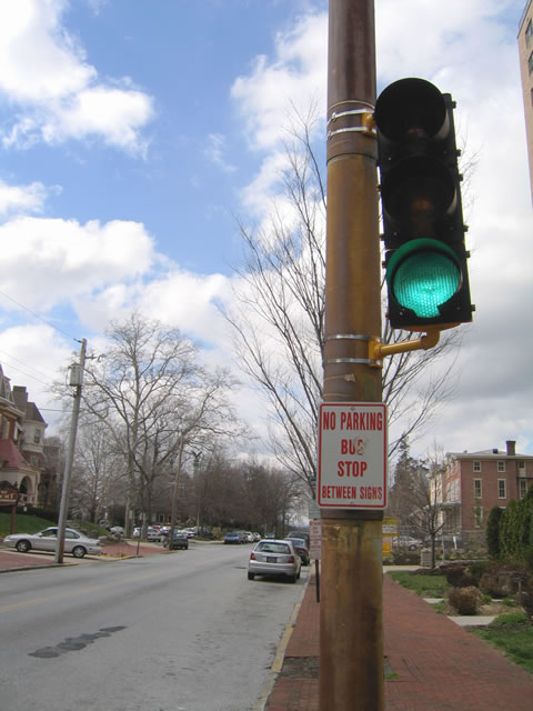
Two blocks removed from Delaware 52 and Pennsylvania Avenue, Delaware Avenue intersects Franklin Street. Similar to Broom Street two blocks to the north, Franklin Street travels north from Maryland Avenue (Delaware 4) through the residential neighborhoods of Hilltop and Cool Spring to Brandywine Park at Lovering Avenue. 04/01/04
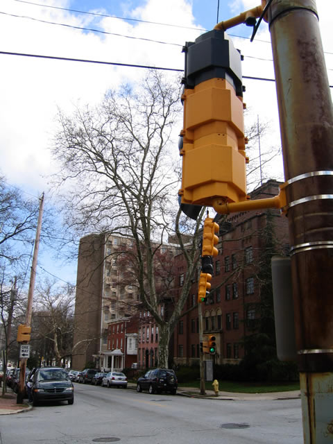
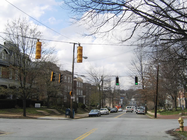
Broom Street is one-way south from Lovering Avenue and Brandywine Park to Delaware Avenue and the West Hill community. 04/01/04
Broom Street is one-way south from Lovering Avenue and Brandywine Park to Delaware Avenue and the West Hill community. 04/01/04
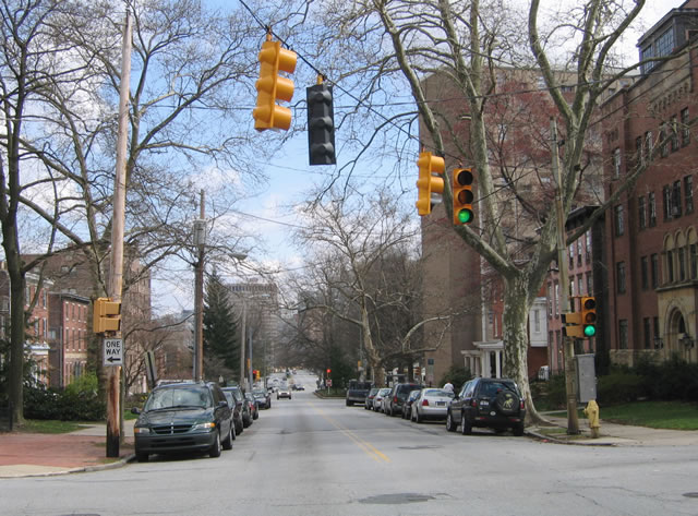
Delaware Avenue lowers northward toward Trolley Square at Rodney Street in northwest Wilmington. Rodney Street carries two way traffic within the vicinity of Delaware Avenue. 04/01/04
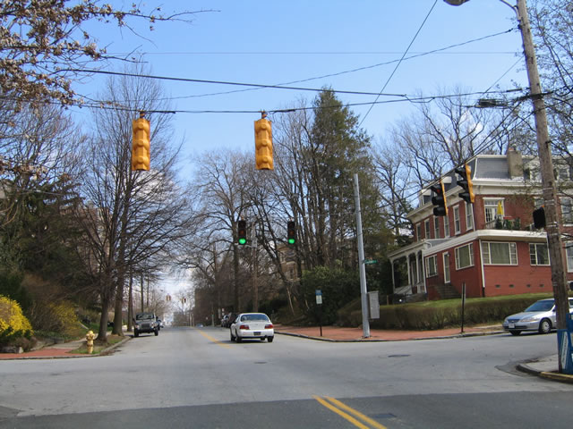
Delaware Avenue lowers northward toward Trolley Square at Rodney Street in northwest Wilmington. Rodney Street carries two way traffic within the vicinity of Delaware Avenue. 04/01/04
Photos by Alex Nitzman
References:
- Delaware Historic Bridges
http://www.deldot.net/static/ projects/archaeology/historic_pres/ delaware_bridge_book/bridge_toc.html, Delaware Department of Transportation.
Page Updated Friday May 26, 2017.