
Interstate 89 Vermont - South Archive
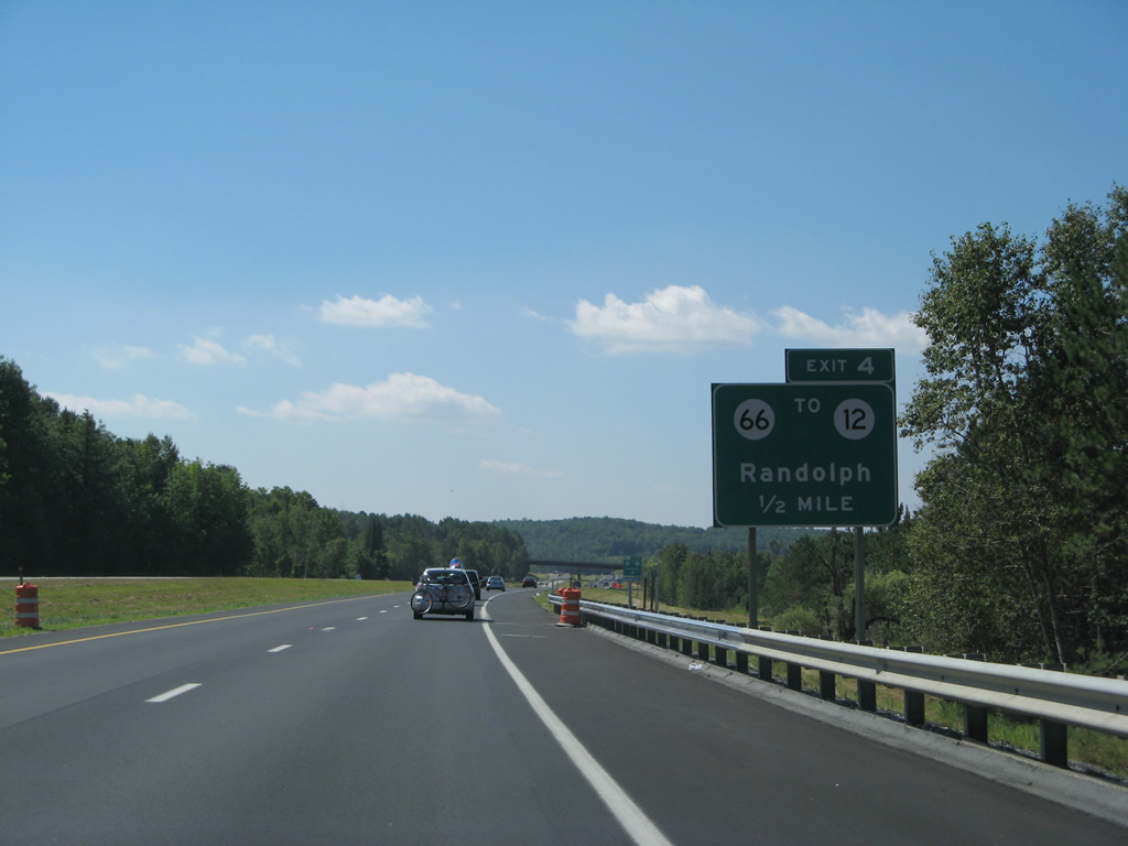
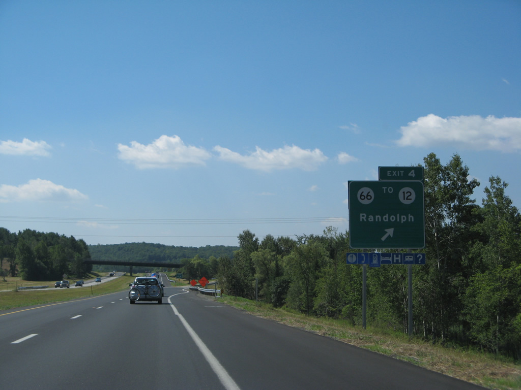
The freeway flattens out along side Adams Brook on the half mile approach to Exit 4. Guide signs for VT 66 were replaced by 2012. 08/04/07
East from Exit 4 and I-89, VT 66 traverses Randolph Hill to Randolph Center, and a northerly turn along Ridge Road. The state route arcs east to end at VT 14 at East Randolph. 08/04/07
Interstate 89 travels through the town of Bethel to Royalton between exits 4 and 3. The town center lies west of Exit 3 via Vermont 107.
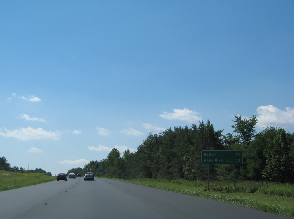
The mileage here for White River Junction was decreased to 31 miles with a sign replacement. 08/04/07
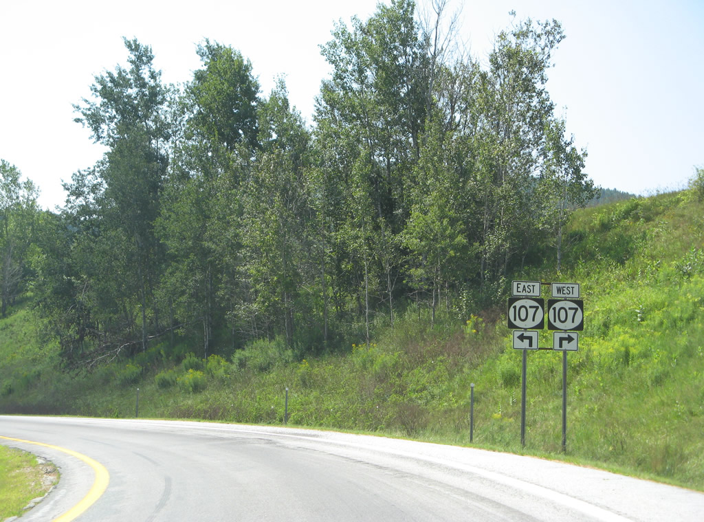
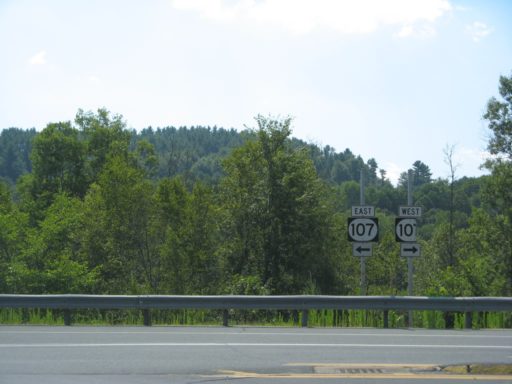
Sign changes made at Exit 3 replaced Rutland with Royalton as the second control point for Vermont 107. Rutland took the place of South Royalton on an auxiliary panel situated midway between the mile and half mile signs for VT 107. 08/04/07
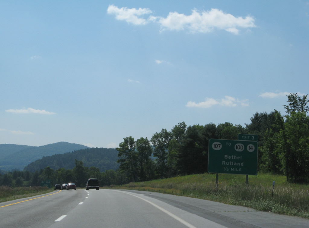
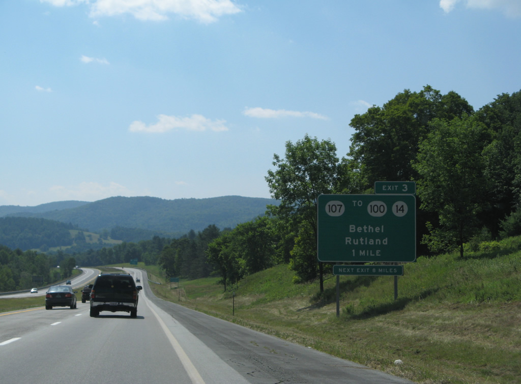
One half mile ahead of the folded diamond interchange (Exit 3) with Vermont 107 near South Royalton. 08/04/07
Former oval shields posted for Vermont 107 along the Exit 3 off-ramp from Interstate 89 south. VT 107 ventures west along the White River to both VT 12 at Bethel and VT 100 at Stockbridge. 08/04/07
Shrubbury conceals the White River from beyond this assembly posted at Exit 3. The missing shields here were trailblazers for VT 14 and 100. 08/04/07
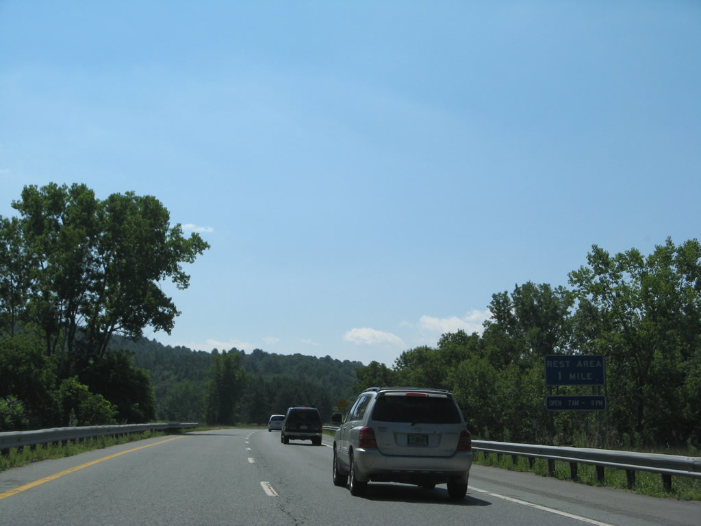
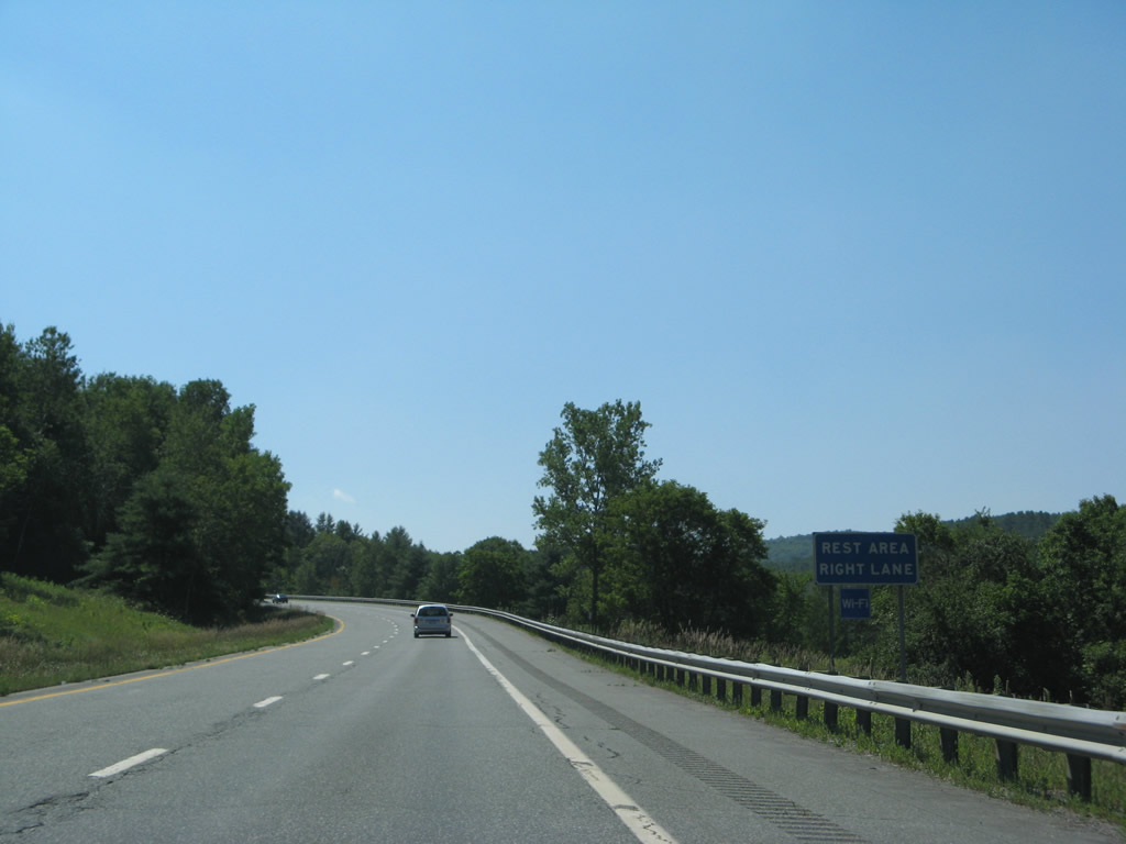
The Sharon rest area along Interstate 89 south was converted to sole operation as a truck weigh station. 08/04/07
The former rest area hugs the hillside overlooking the White River west of West Hartford. 08/04/07
Photos by AARoads
References:
Page Updated Friday January 24, 2025.