
GIS Programming – an Introduction to Python
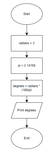
A week removed from completing Computer Cartography (GIS4006), my next class in the UWF Online GIS Certification Program is GIS Programming (GIS4102), which covers Python. Python is an open-sourced programming language used for geoprocessing tools in ArcGIS Pro. Python is also object-orientated, which is a programming model that organizes software around data (objects) as opposed to functions and logic. Python is the is the scripting language of choice for [...]