
Interrupting the Mexico photos, we now bring you a week-long trip in two stages: several days driving all over Alaska, and several in Washington.
This first batch is the flight to Anchorage, and an attempt to drive the Dalton Highway all the way up to the Arctic Ocean at Deadhorse. How far will we make it?
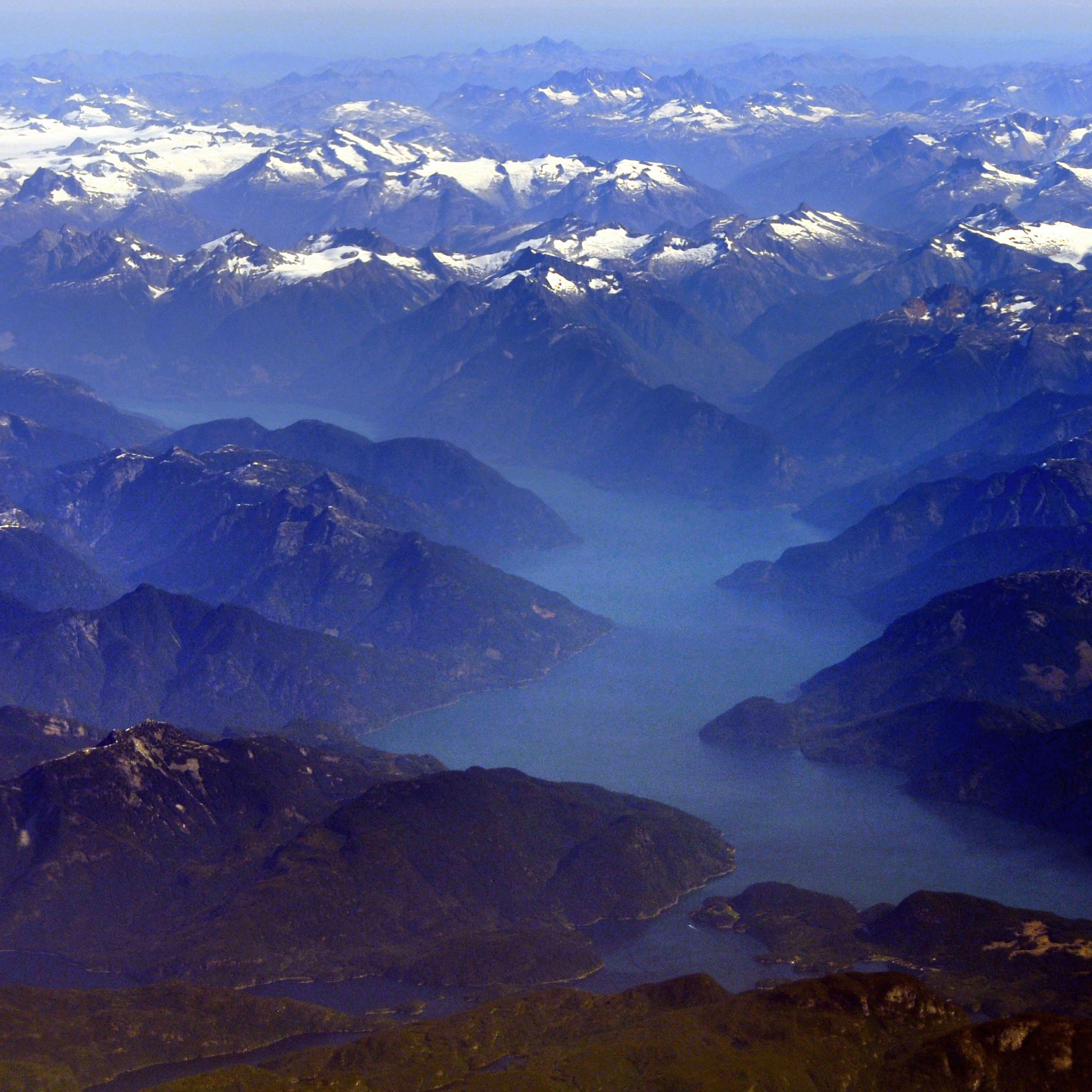
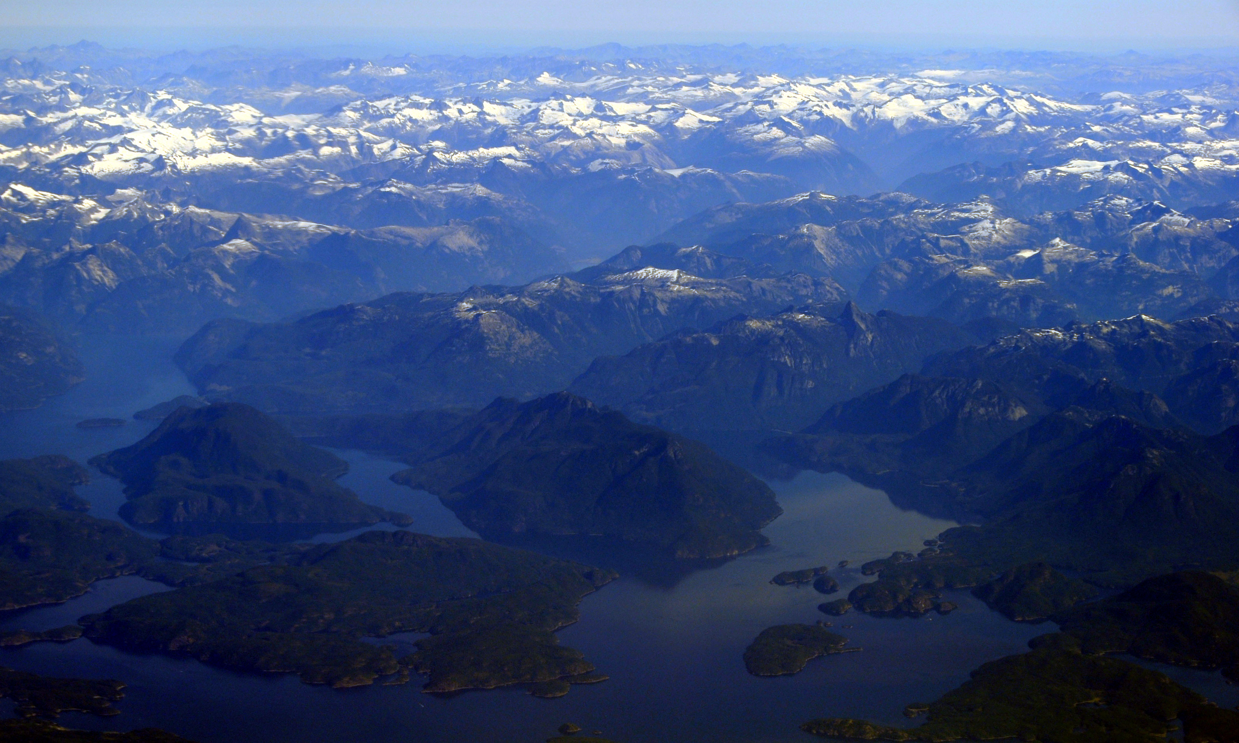
Fjords of British Columbia, as seen from a Seattle to Anchorage flight.
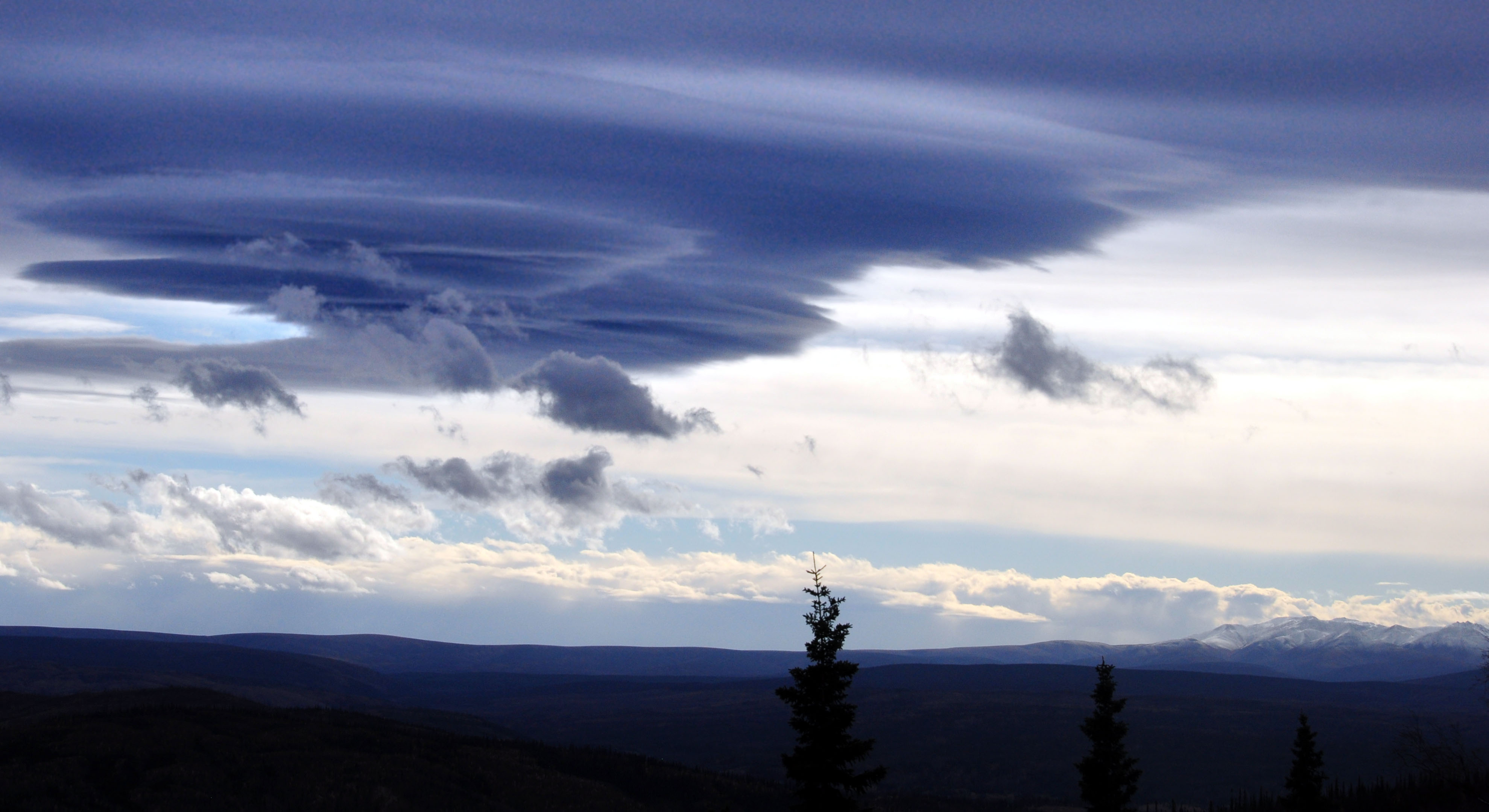
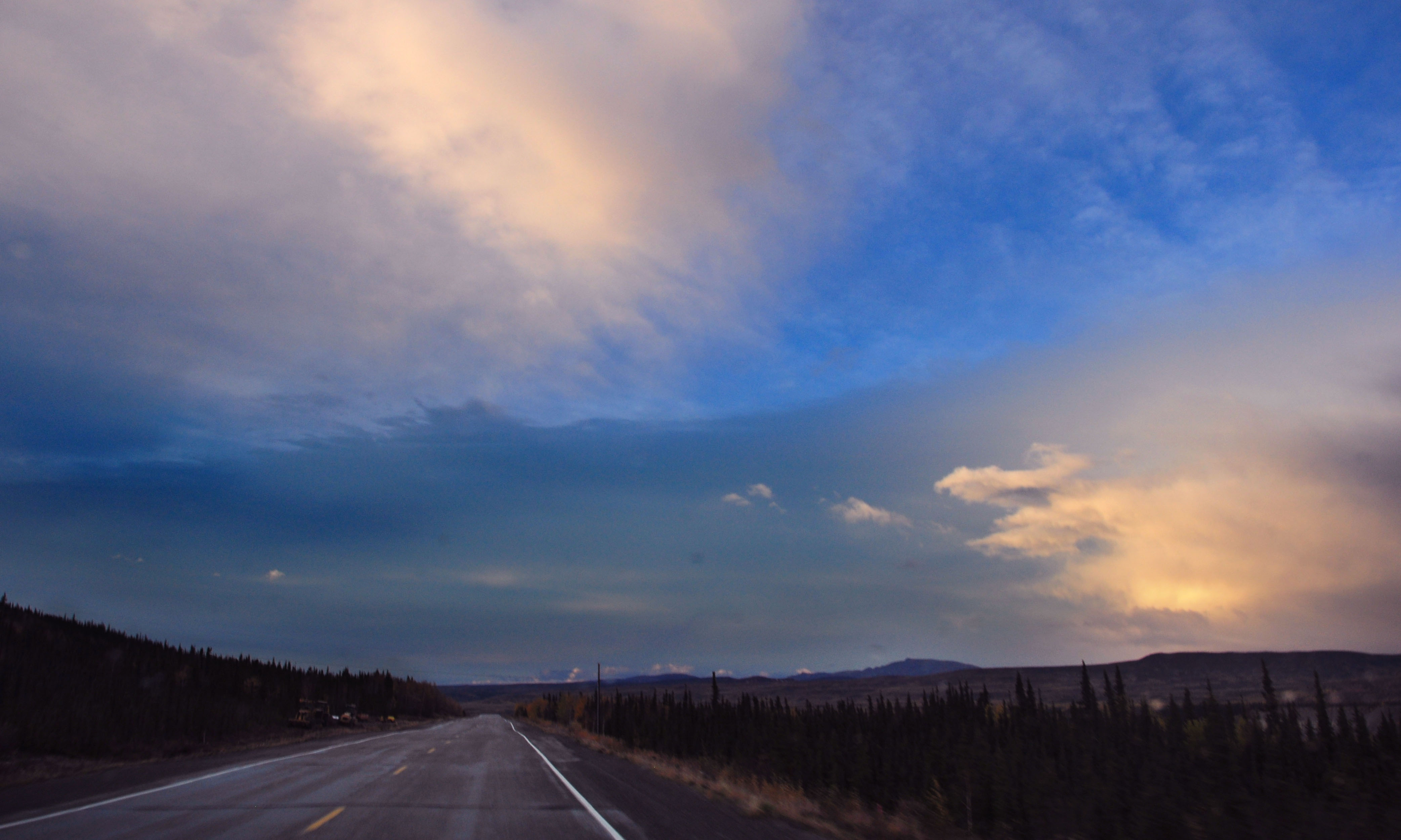
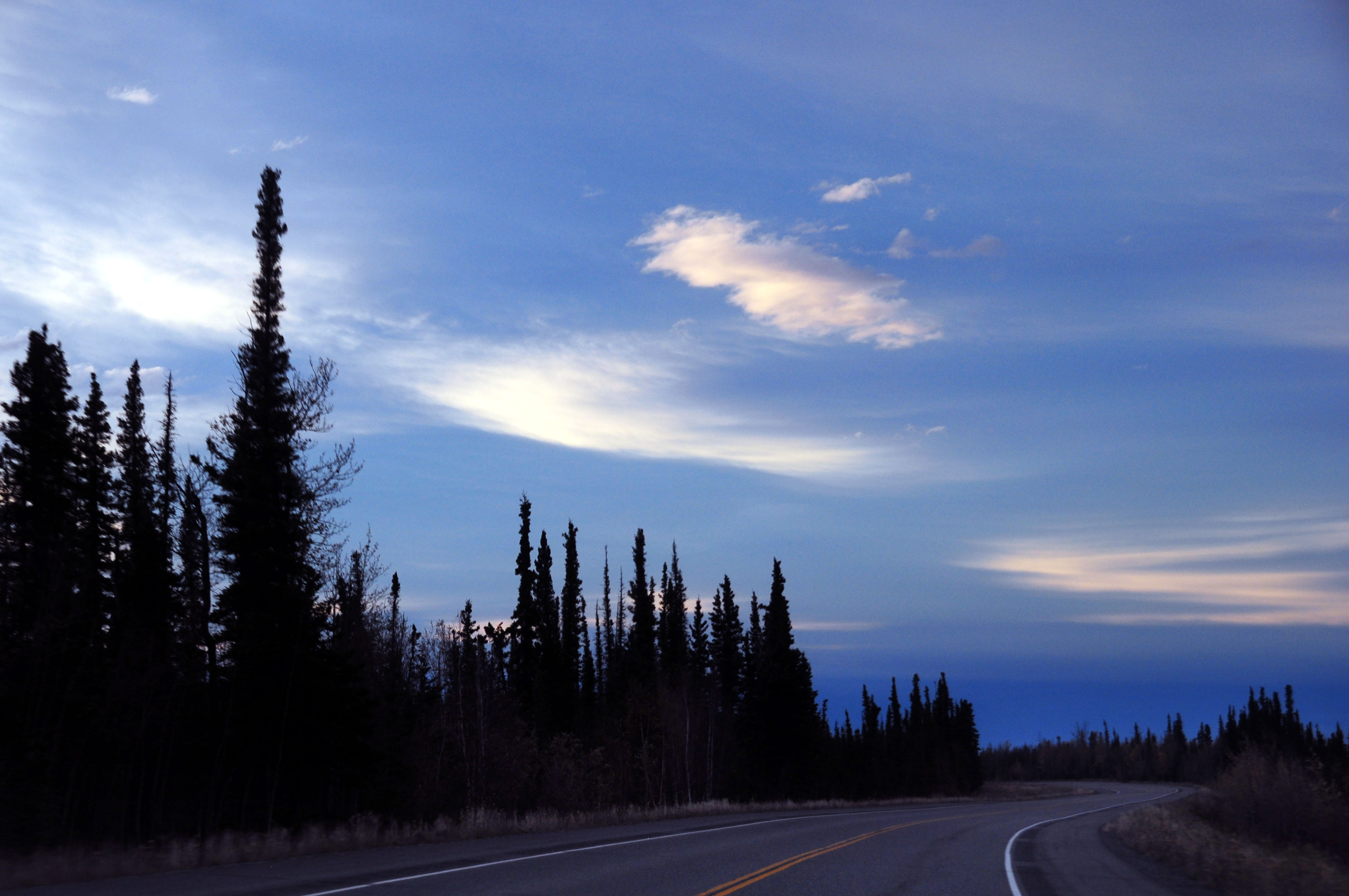
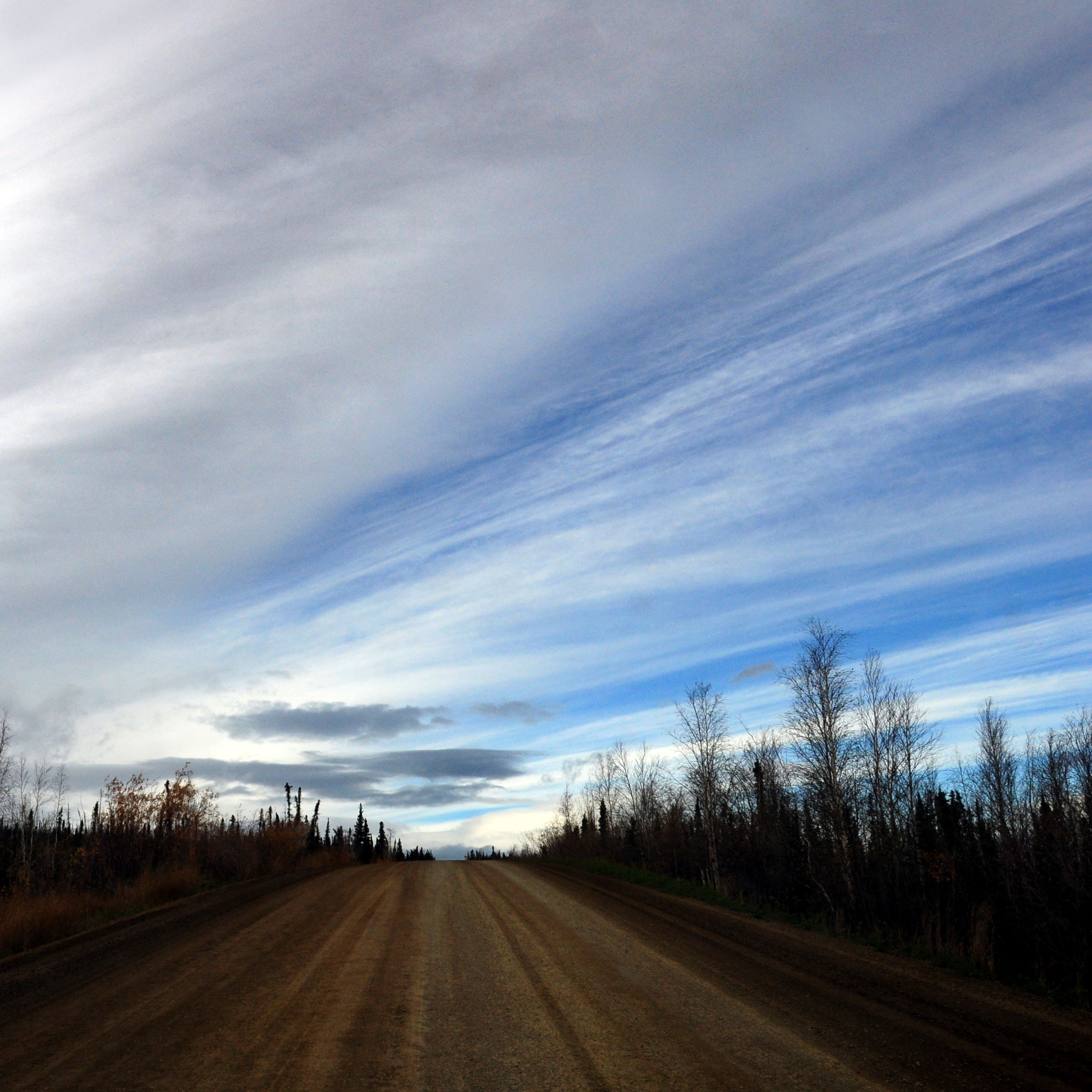
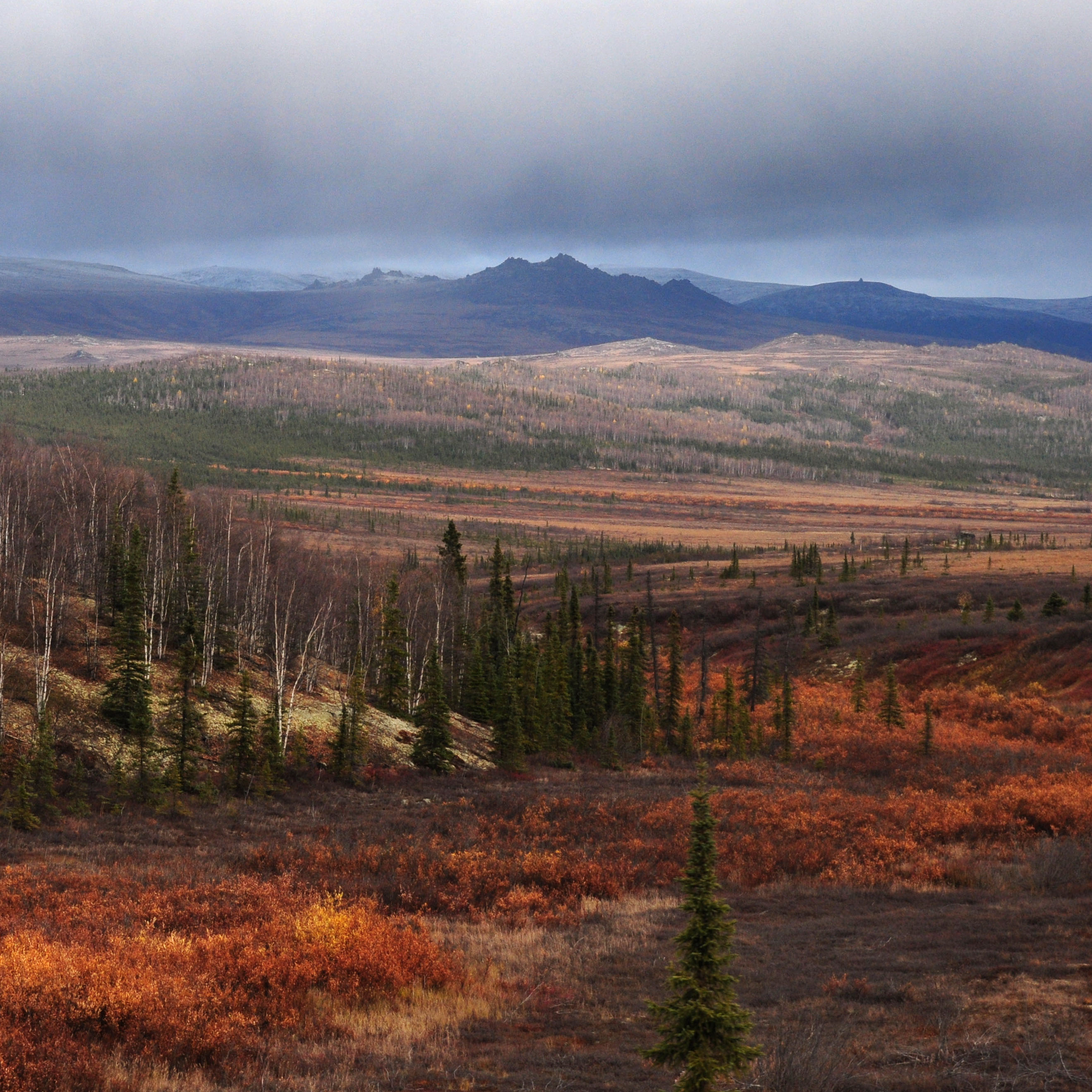
Typical Dalton Highway clouds.
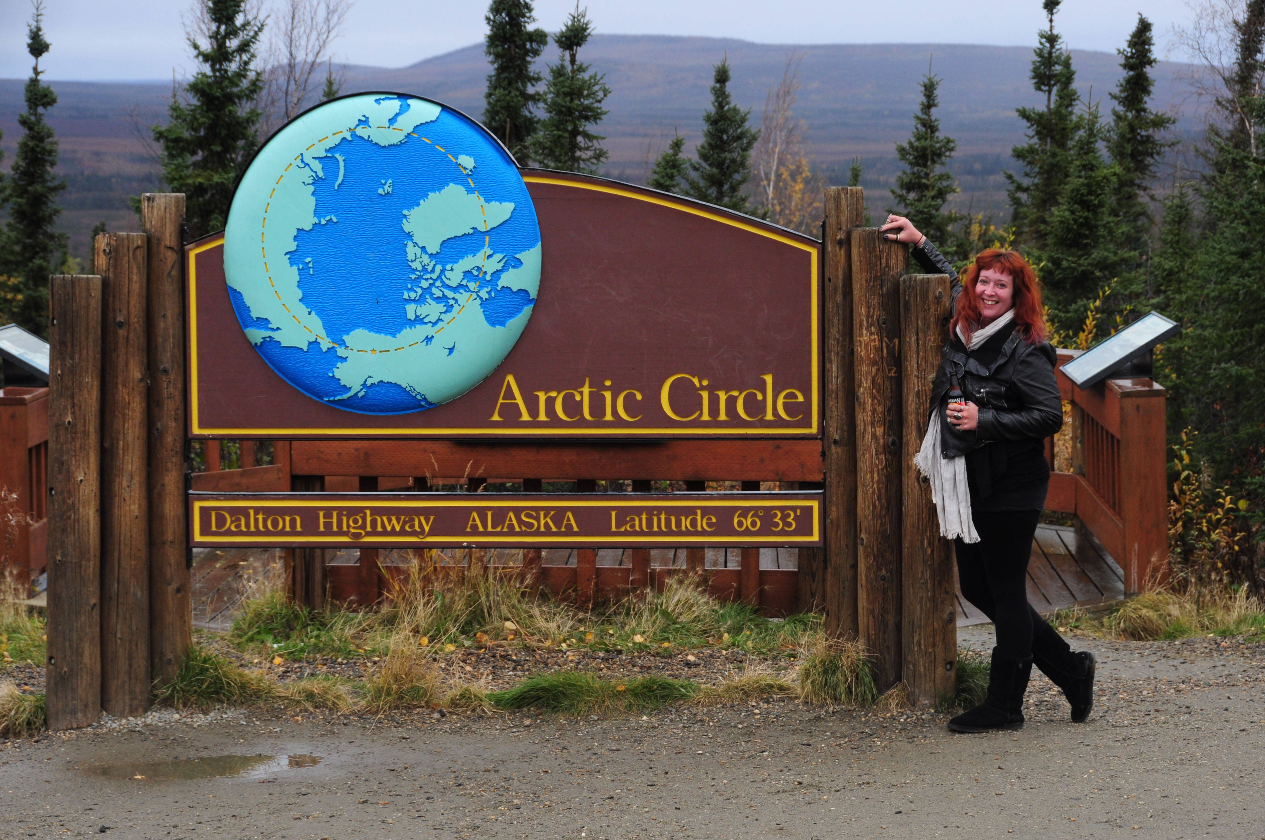
Official photo of the Arctic Circle monument. We made it!
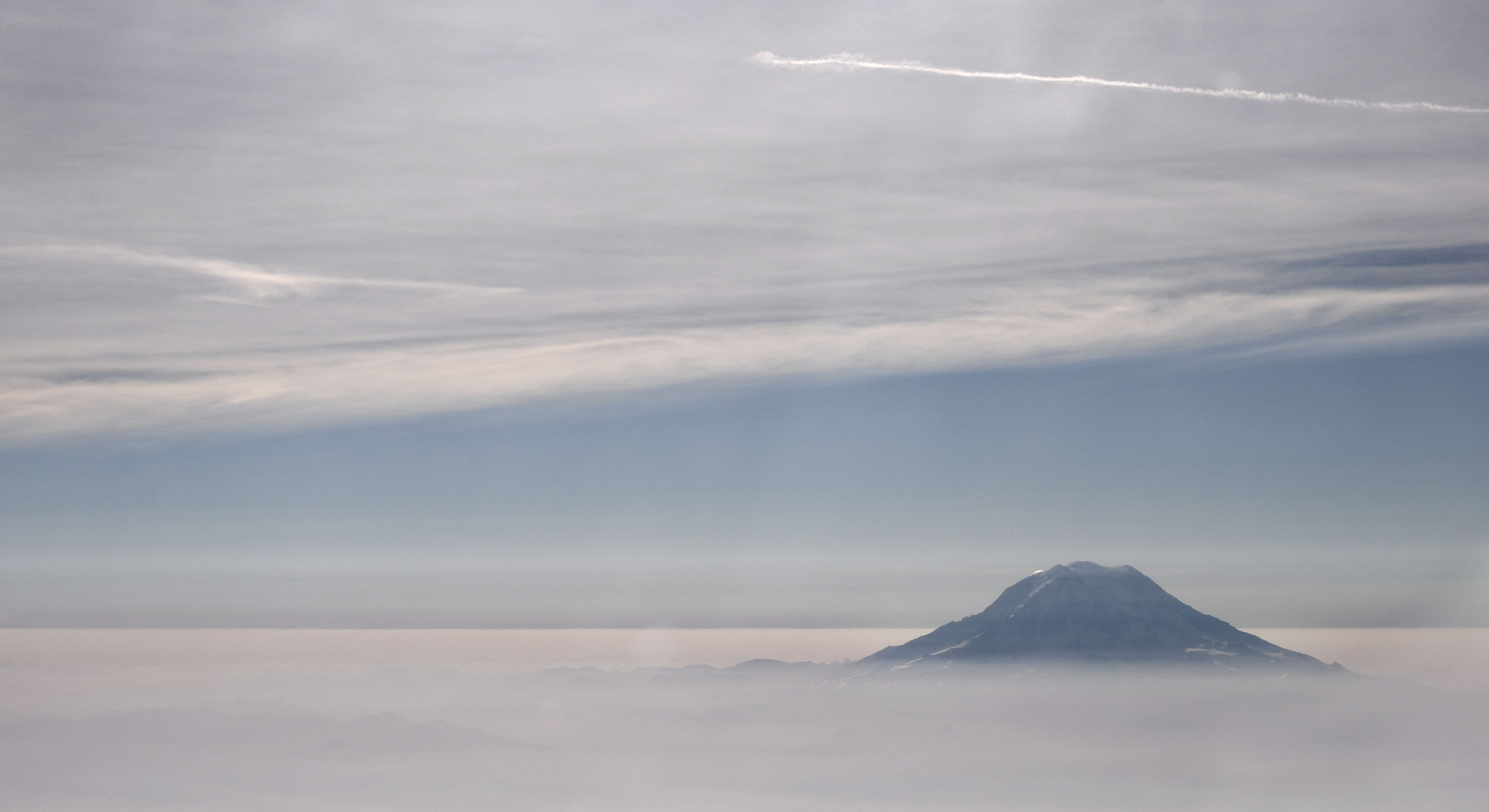
Mount Rainier peeks out through the morning fog, as we approach SeaTac for a landing.
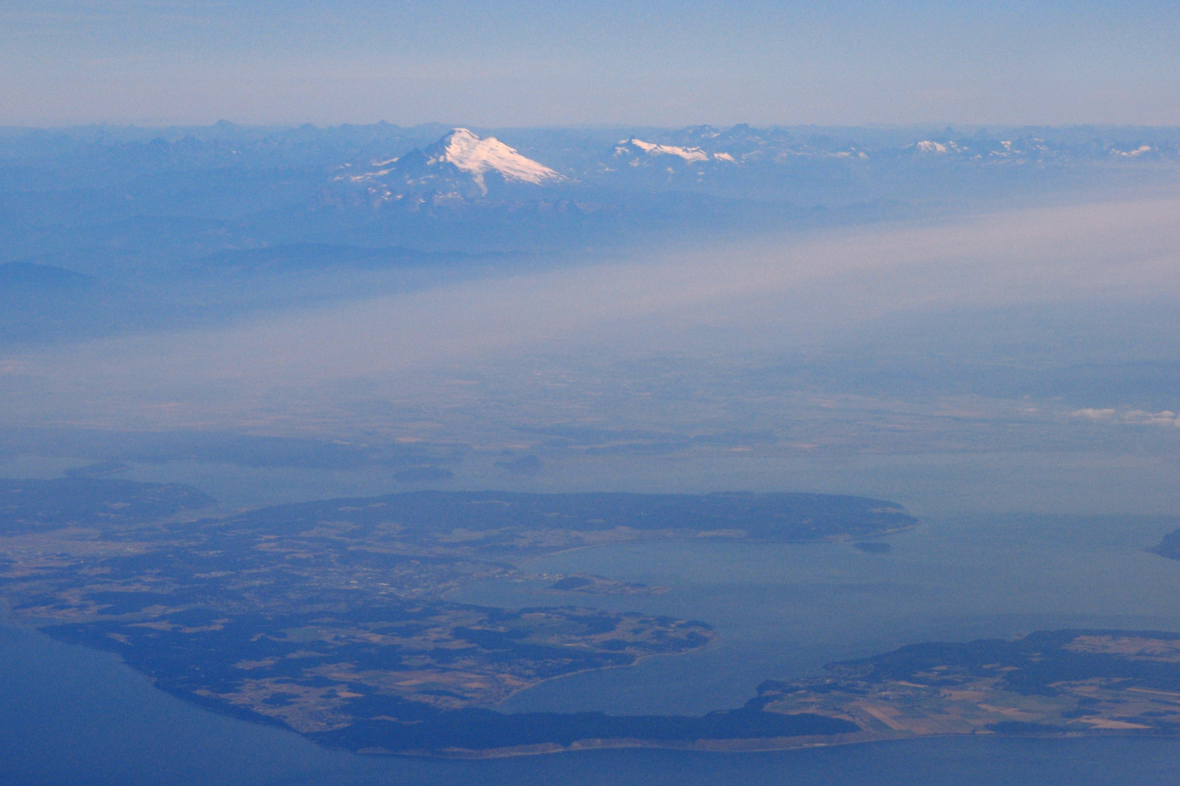
Whidbey Island, and Oak Harbor in the foreground. Mount Baker in the background. We’re on our way to Anchorage.
No roads lead here, so we will not be driving here any time soon.
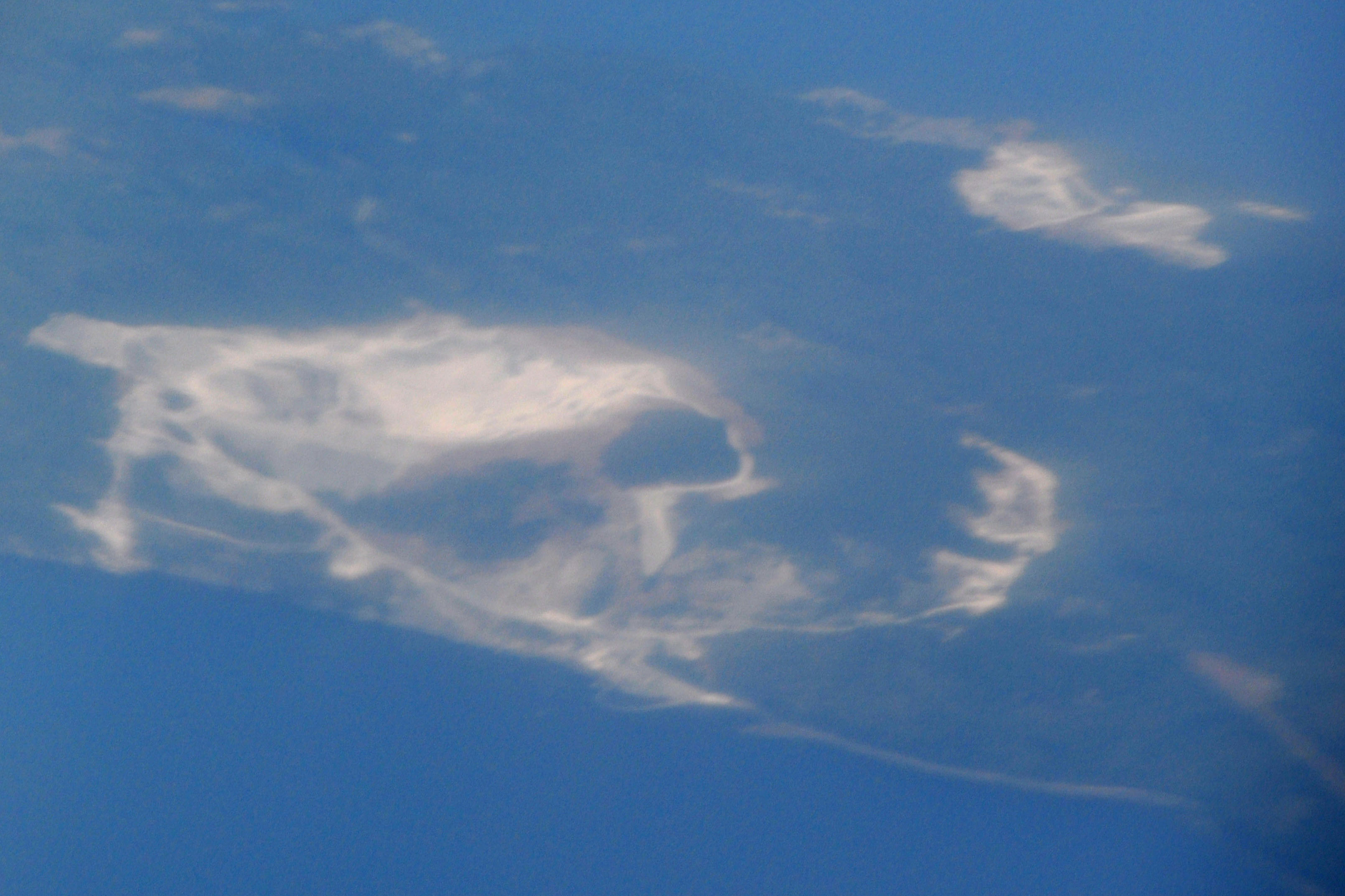
The terrain vaguely resembles a skull from this angle.
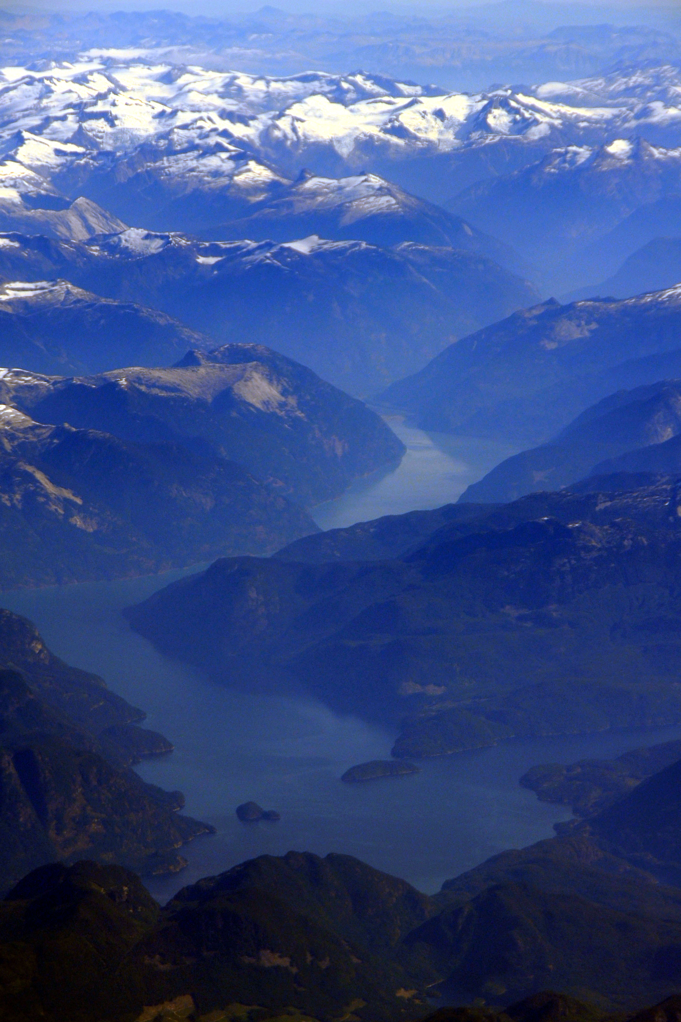
Sometimes, contrast enhancement in Photoshop gives the intended result when processing photos through lots of layers of atmosphere … and an airplane window!
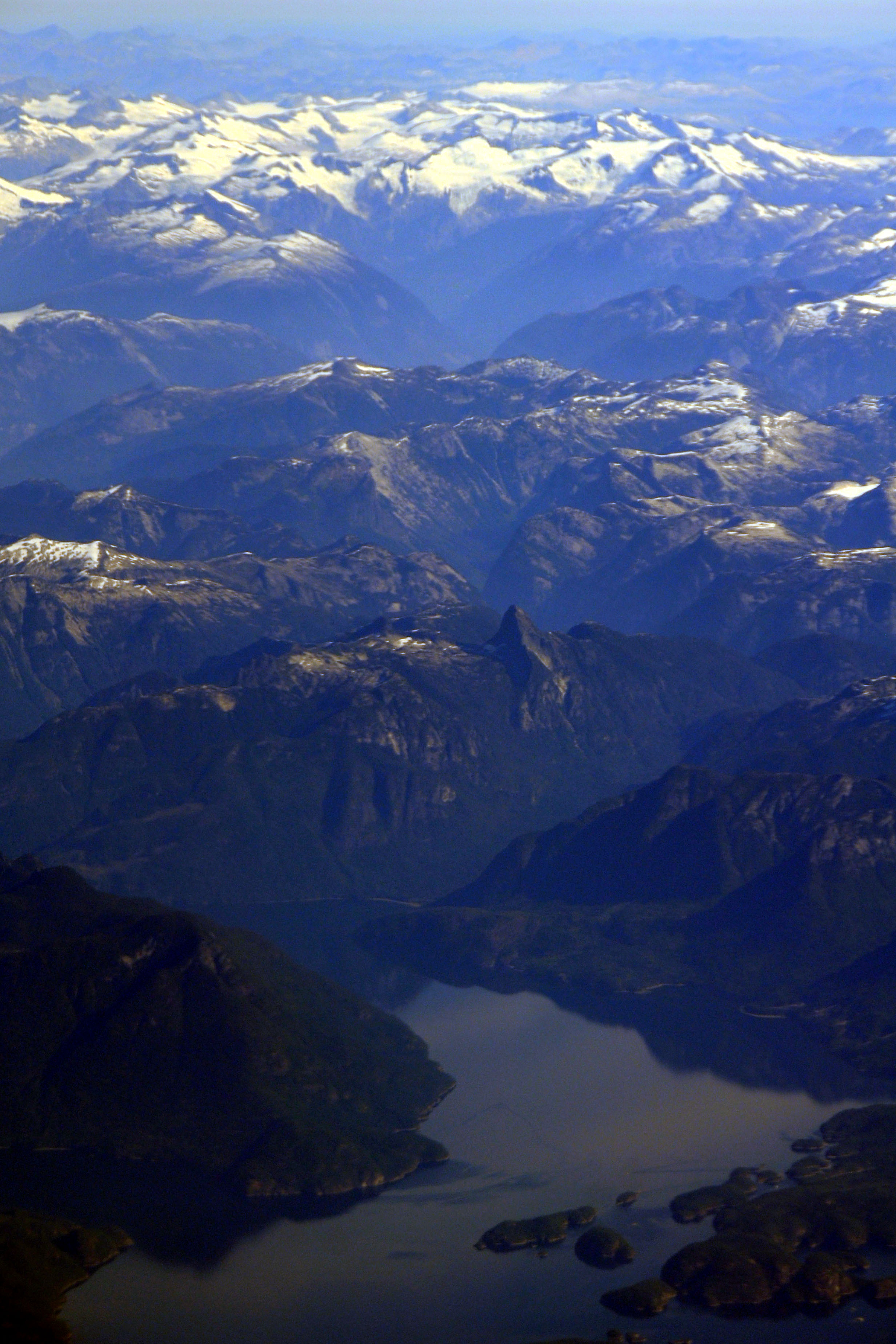
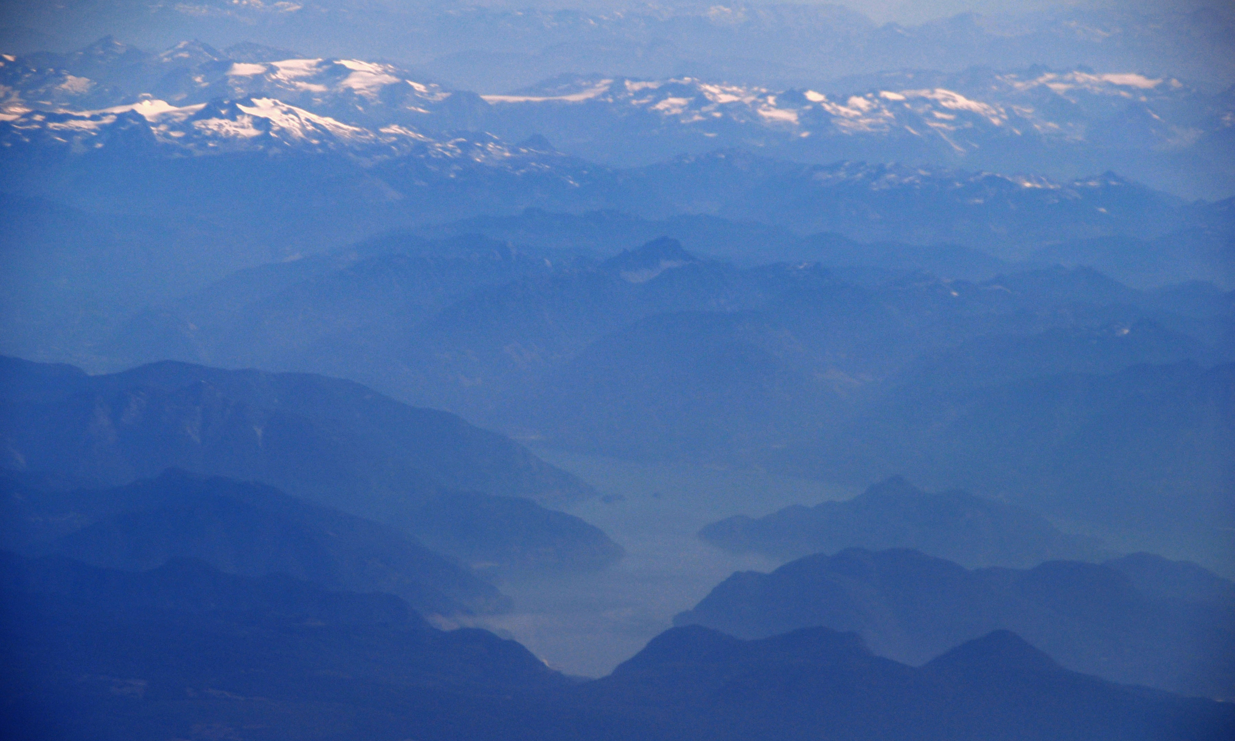
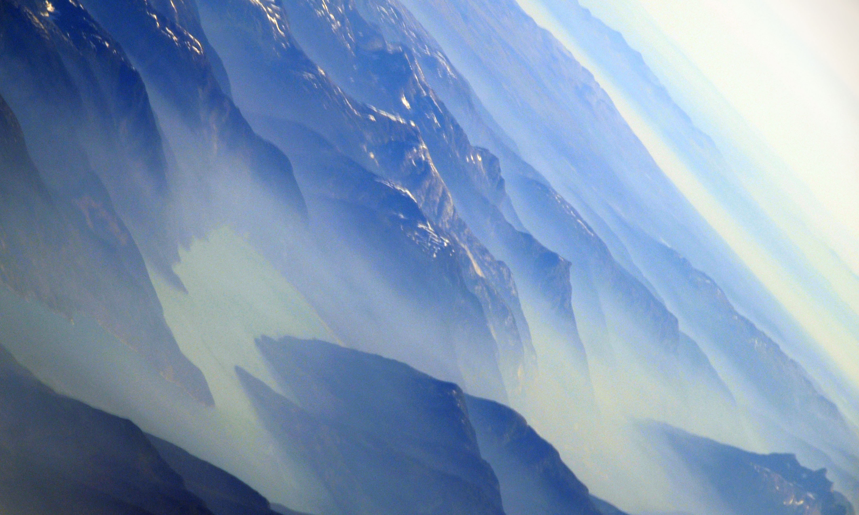
Layers upon layers of mountains.
More fjords.
The miracle of powered flight.
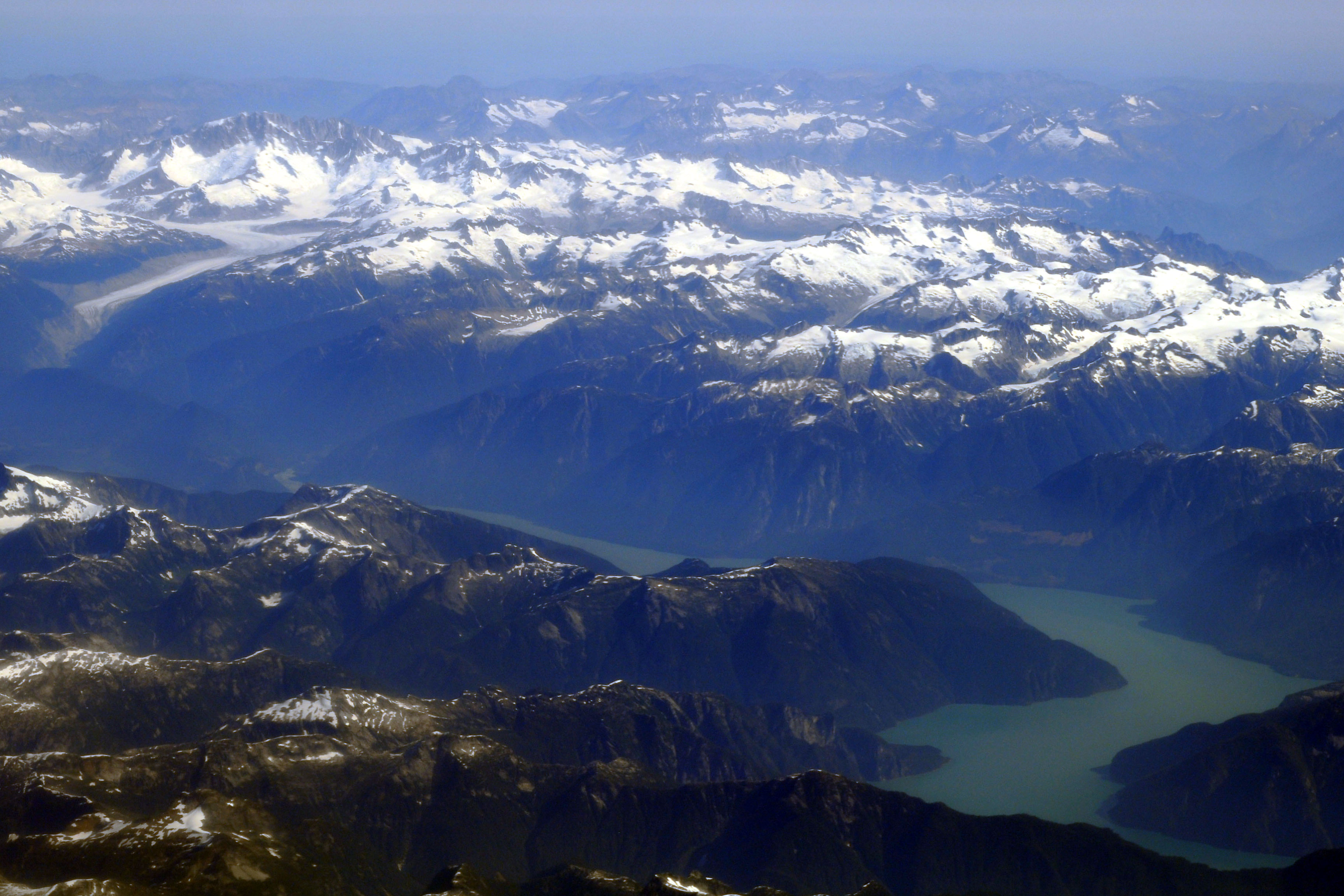
A glacier appears. I believe this is part of the Homathko Icefield, but my geography is a bit spotty. If not exactly that, then it is nearby.
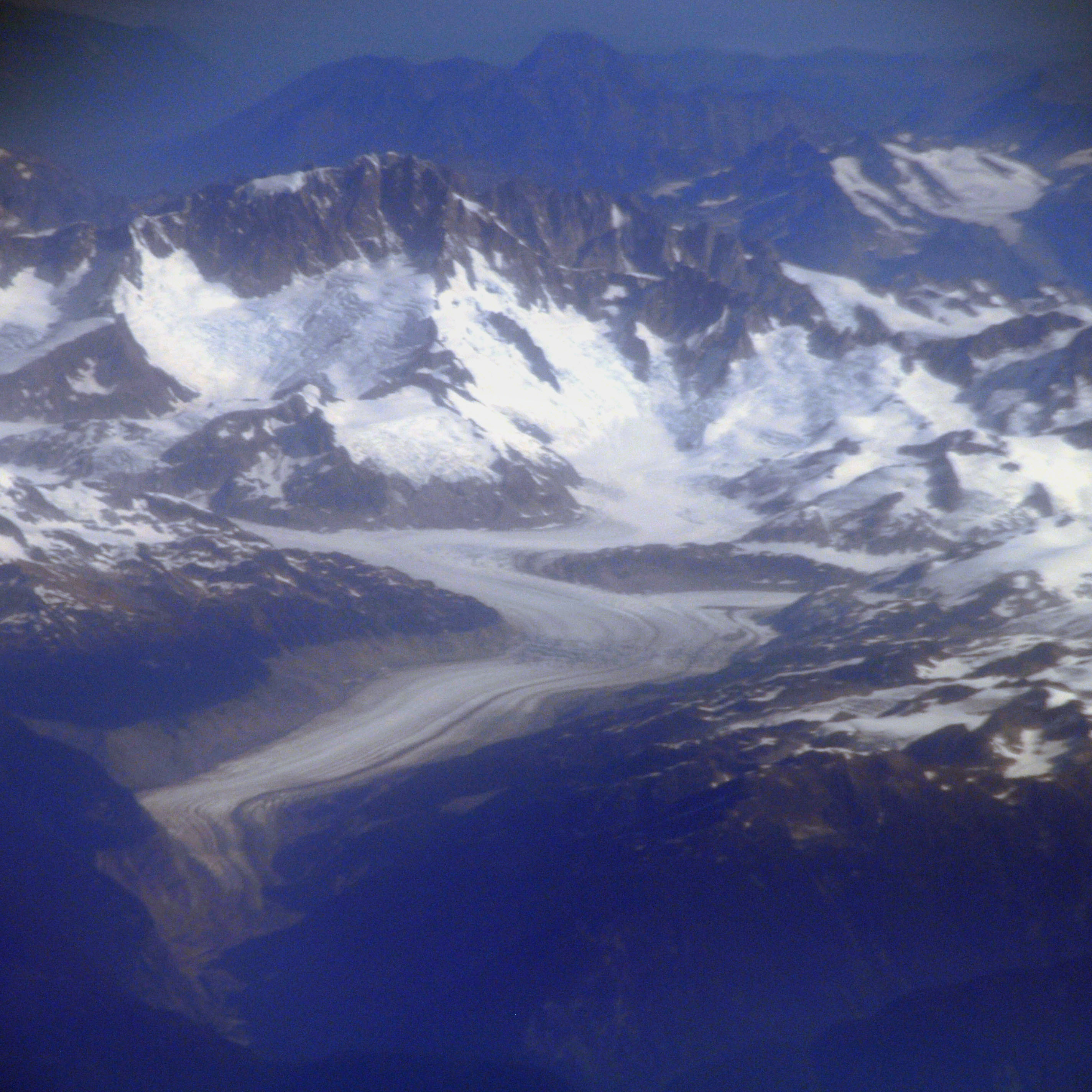
A close-up of the glacier.
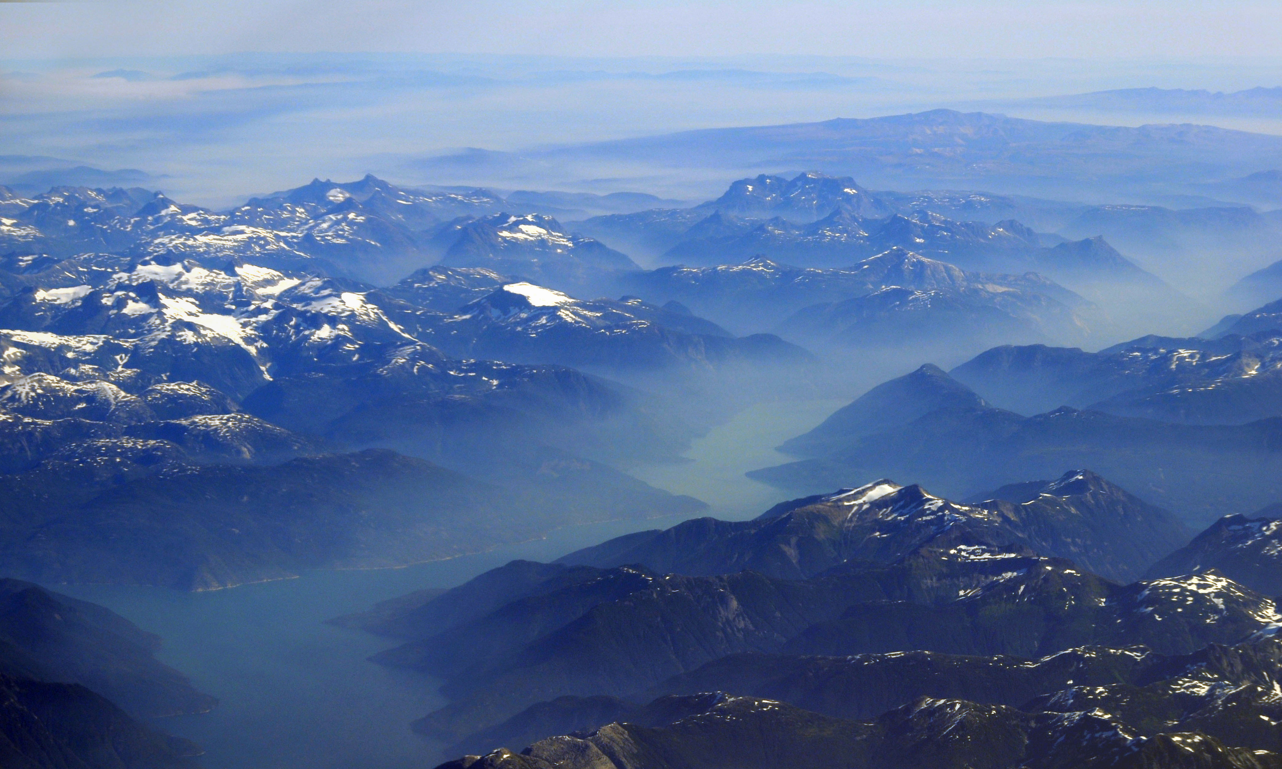
A larger inlet. This may be Alaska by now.
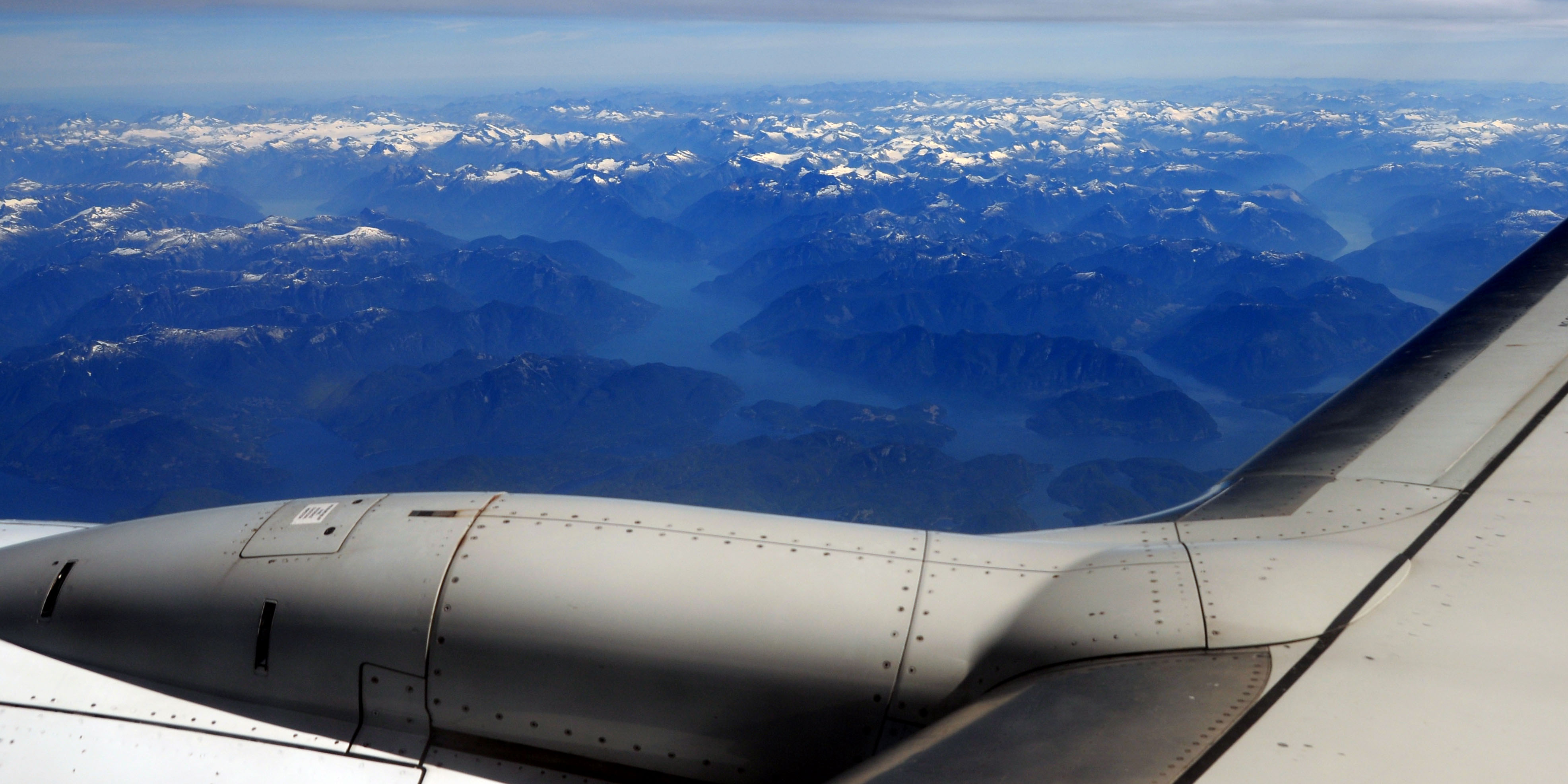
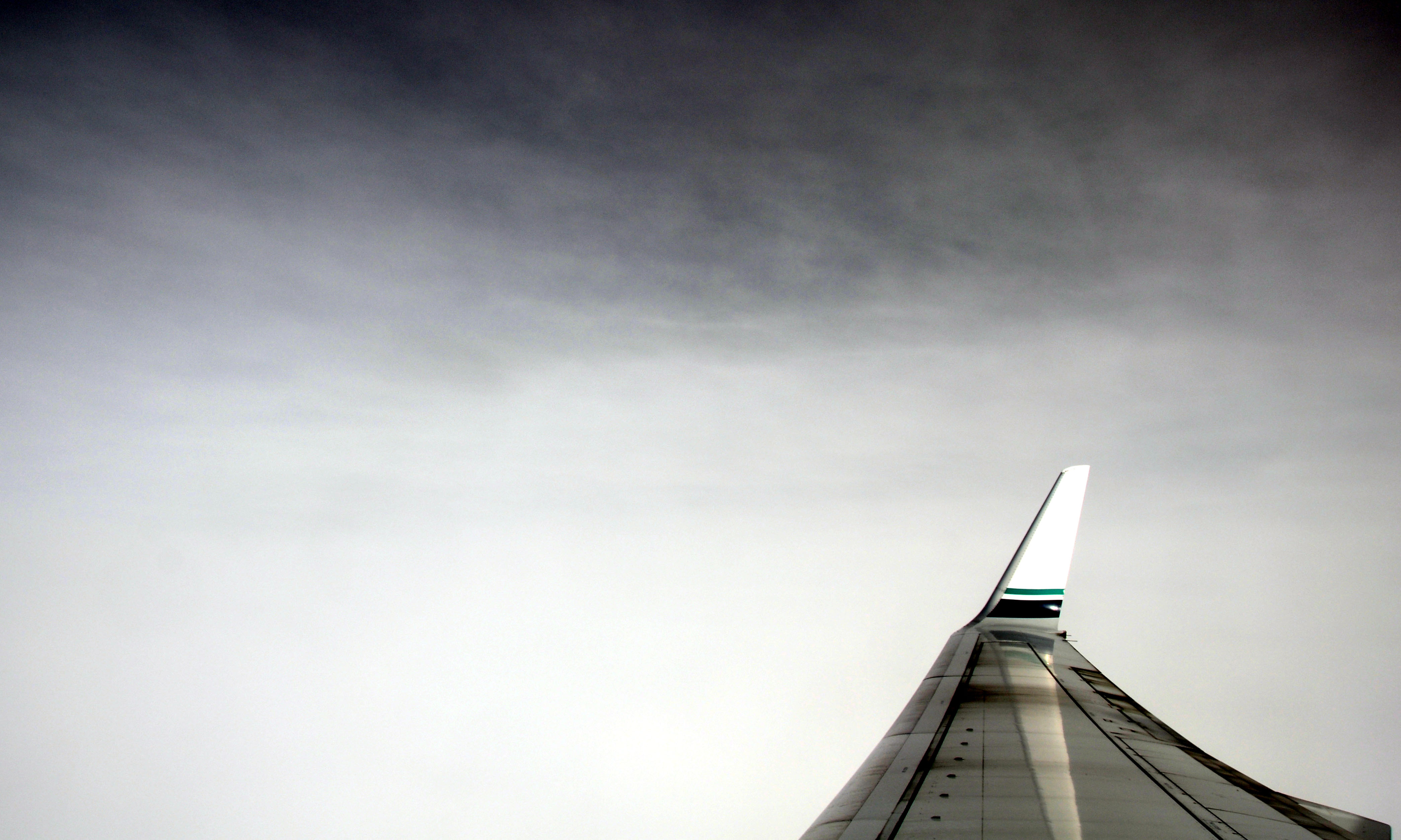
A diagonal one. Otherwise, the wing was in the way.
It gets overcast as we approach Anchorage.

Neon sign in downtown Anchorage.
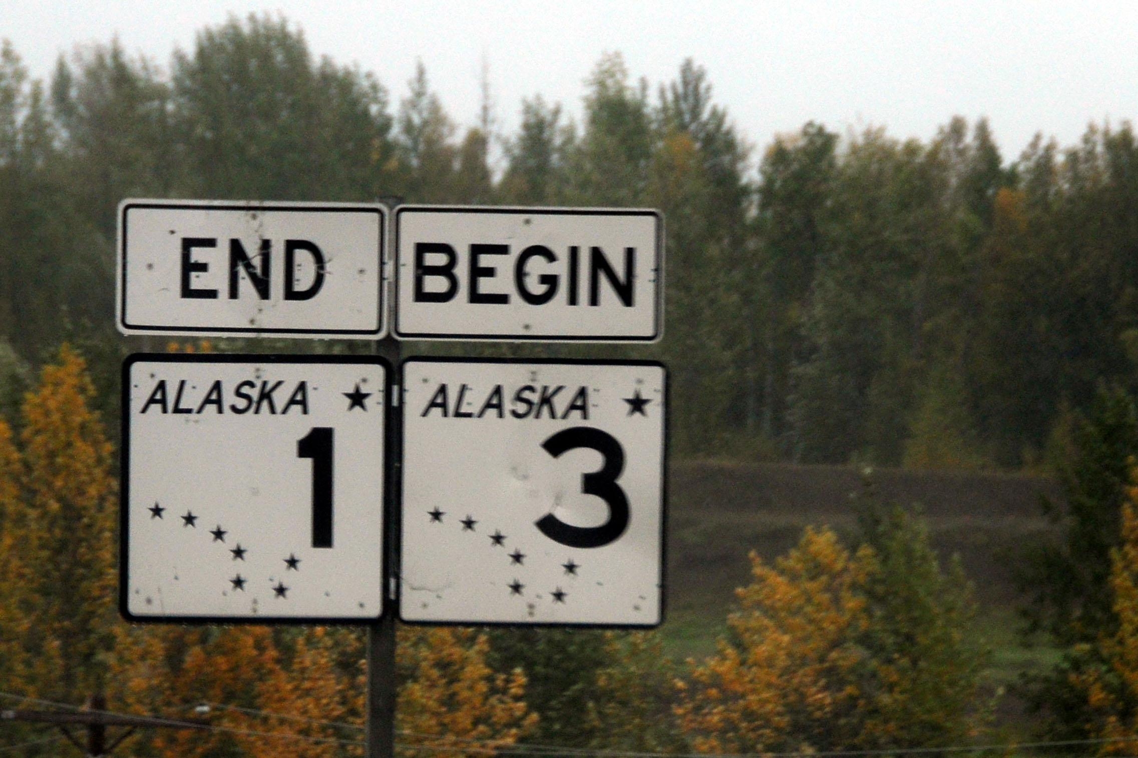
Not actually true. Here is where 3 forks off of 1. 1 continues to Tok Junction. The mileage for 3, however, started counting in downtown Anchorage, so technically this isn’t the beginning of 3, either.
Almost three-fourths of the way to Fairbanks, the skies clear up.
Just past Nenana.
Sunset.
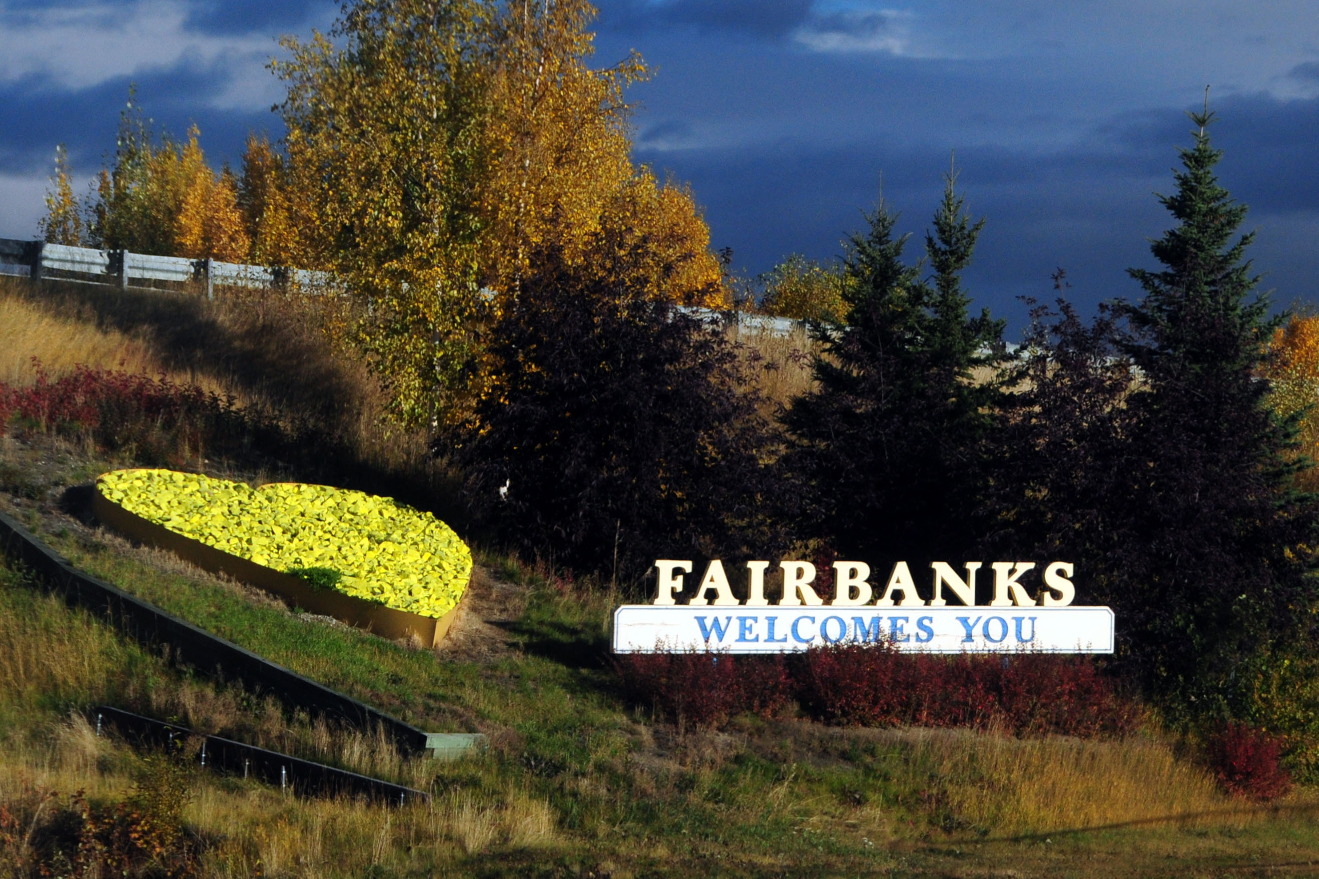
Next morning, we see the welcome sign on highway 2.
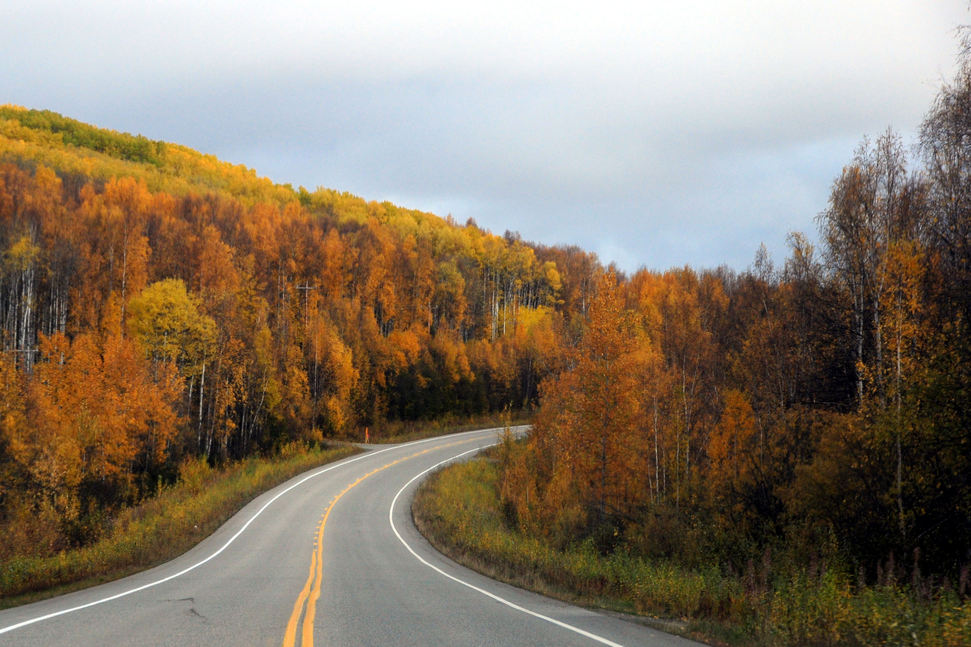
As we head north out of Fairbanks, the weather promptly turns overcast. Not a good omen for the Dalton Highway, which goes all the way to the Arctic Ocean.
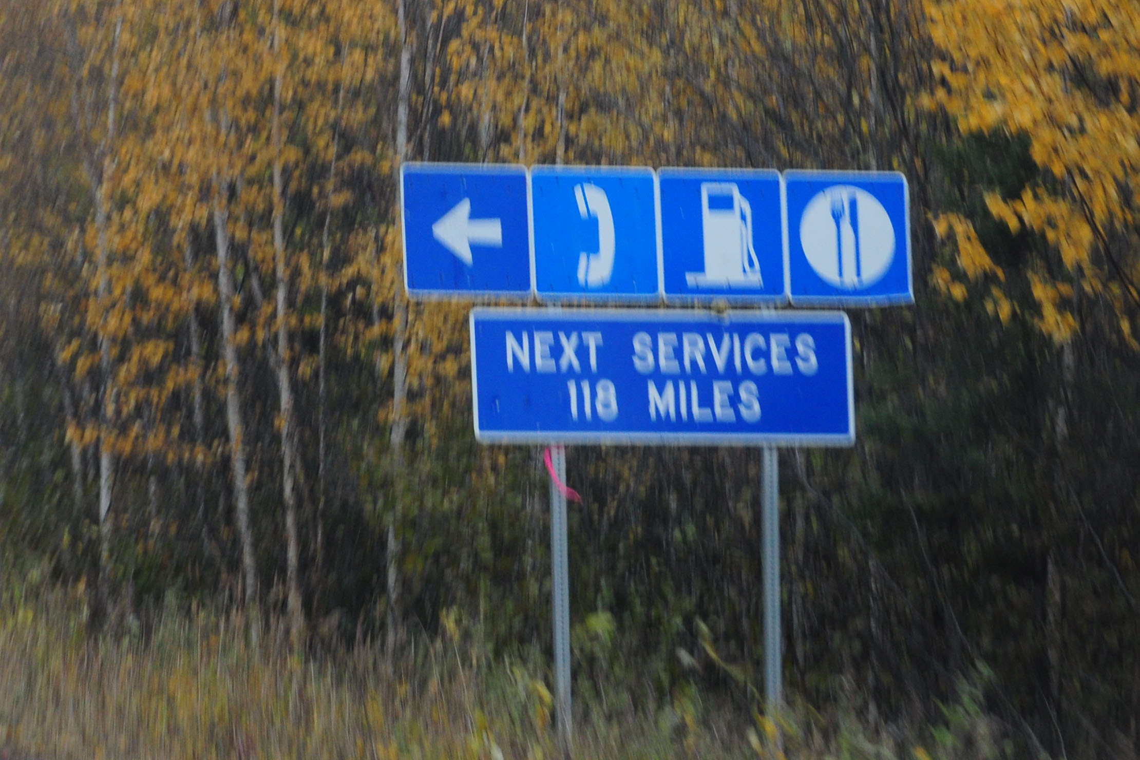
Next services from Hilltop are at the Yukon River crossing.
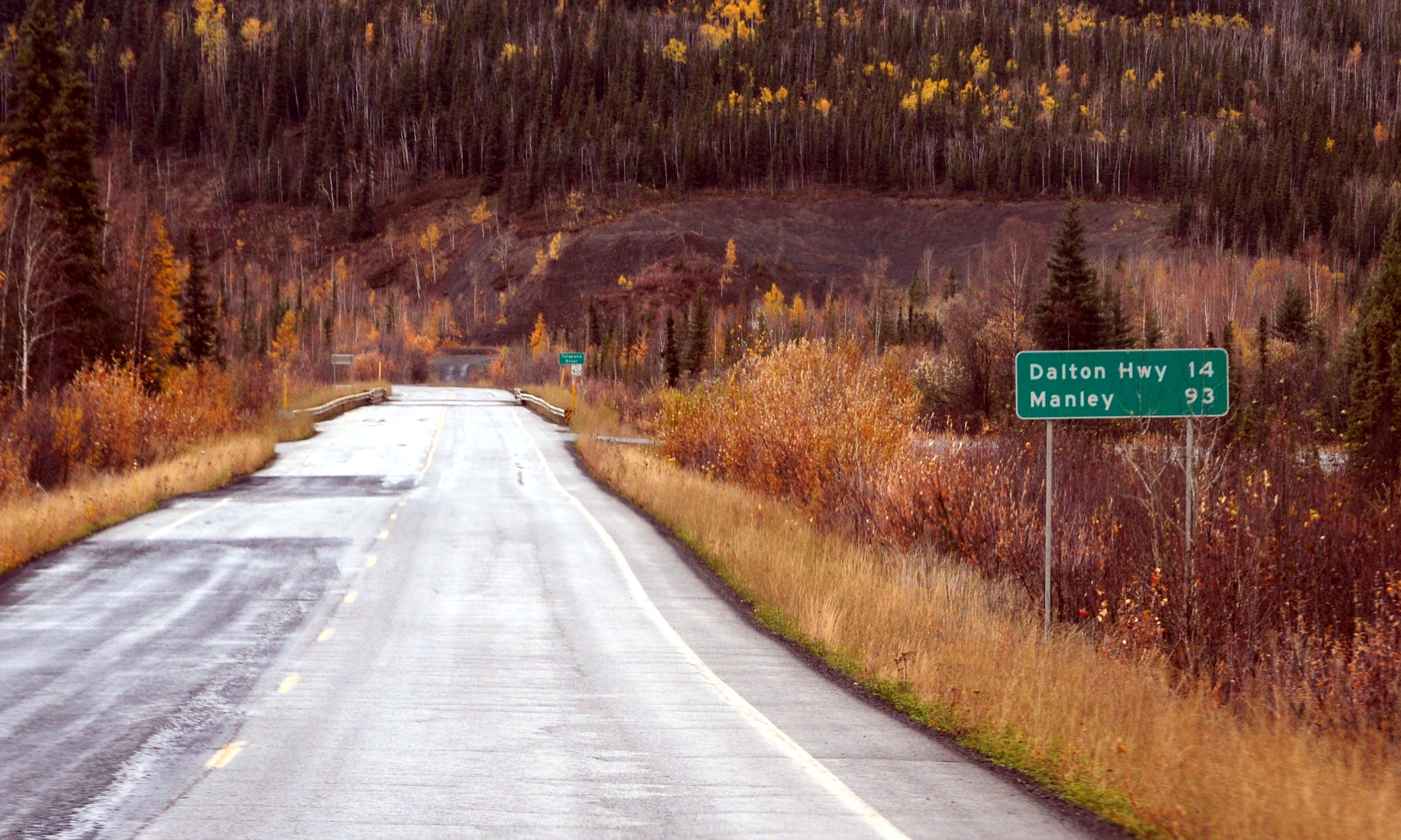
Manley Hot Springs are the end of the Elliott Highway (highway 2). The Dalton branches off of it.
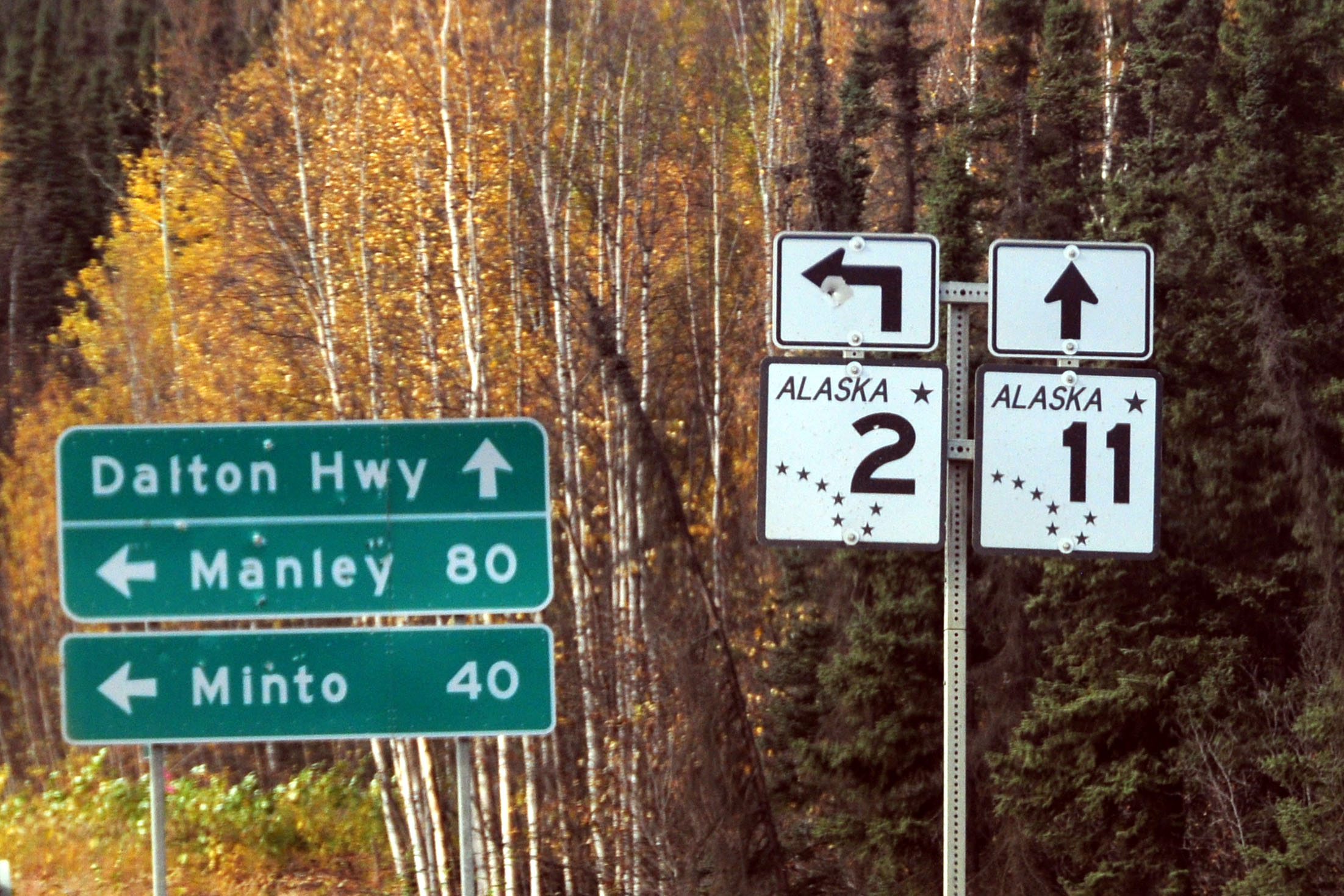
And here’s the split.
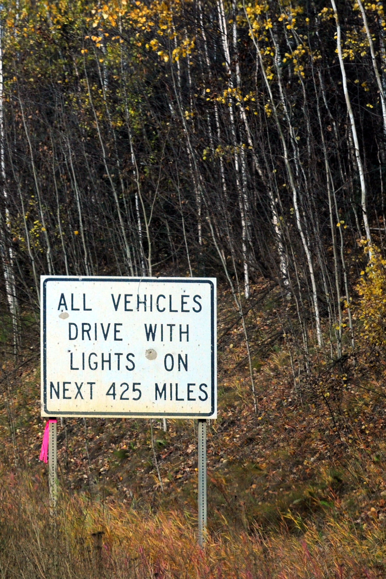
The first of the ominous Dalton warning signs.
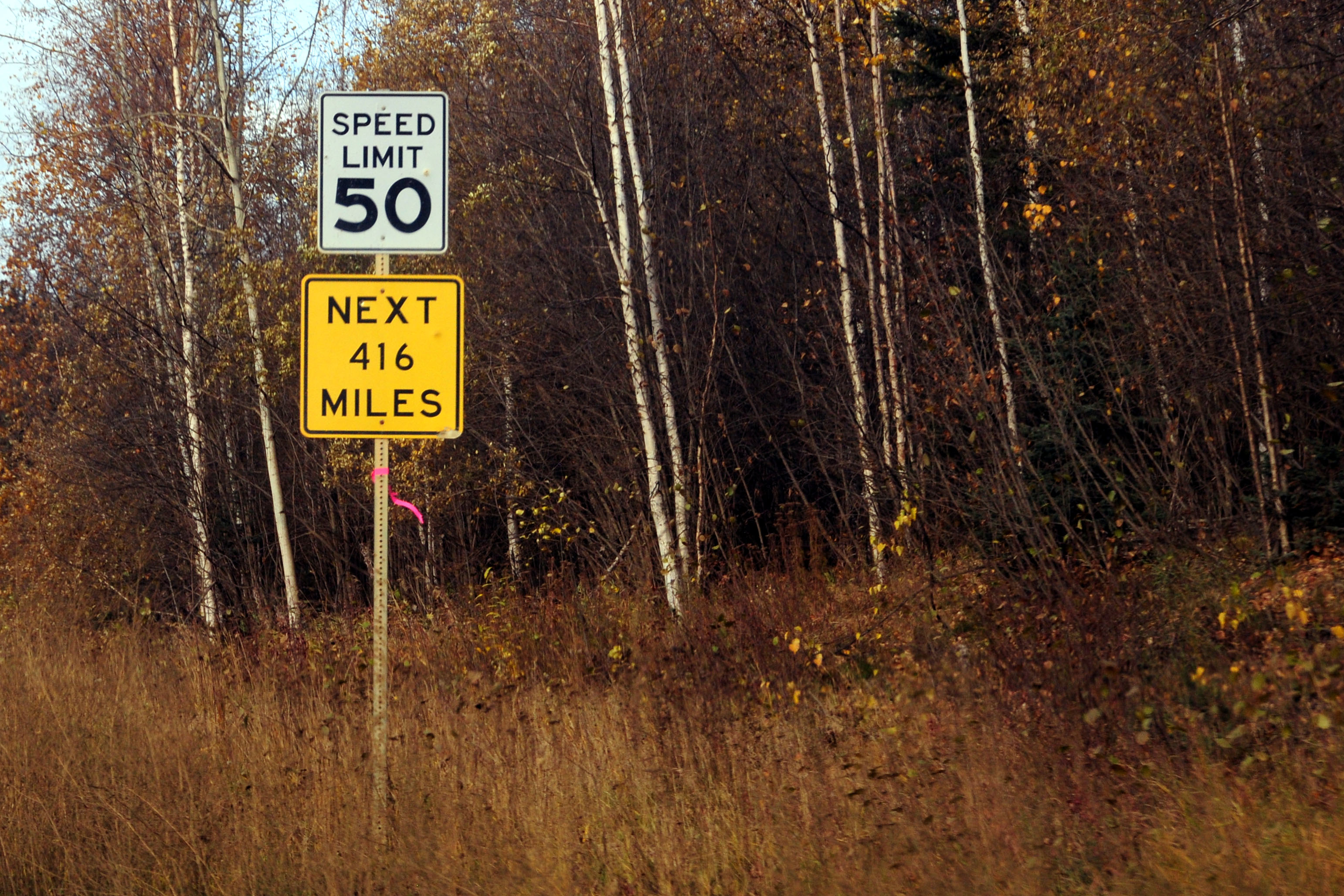
A sensible speed limit.
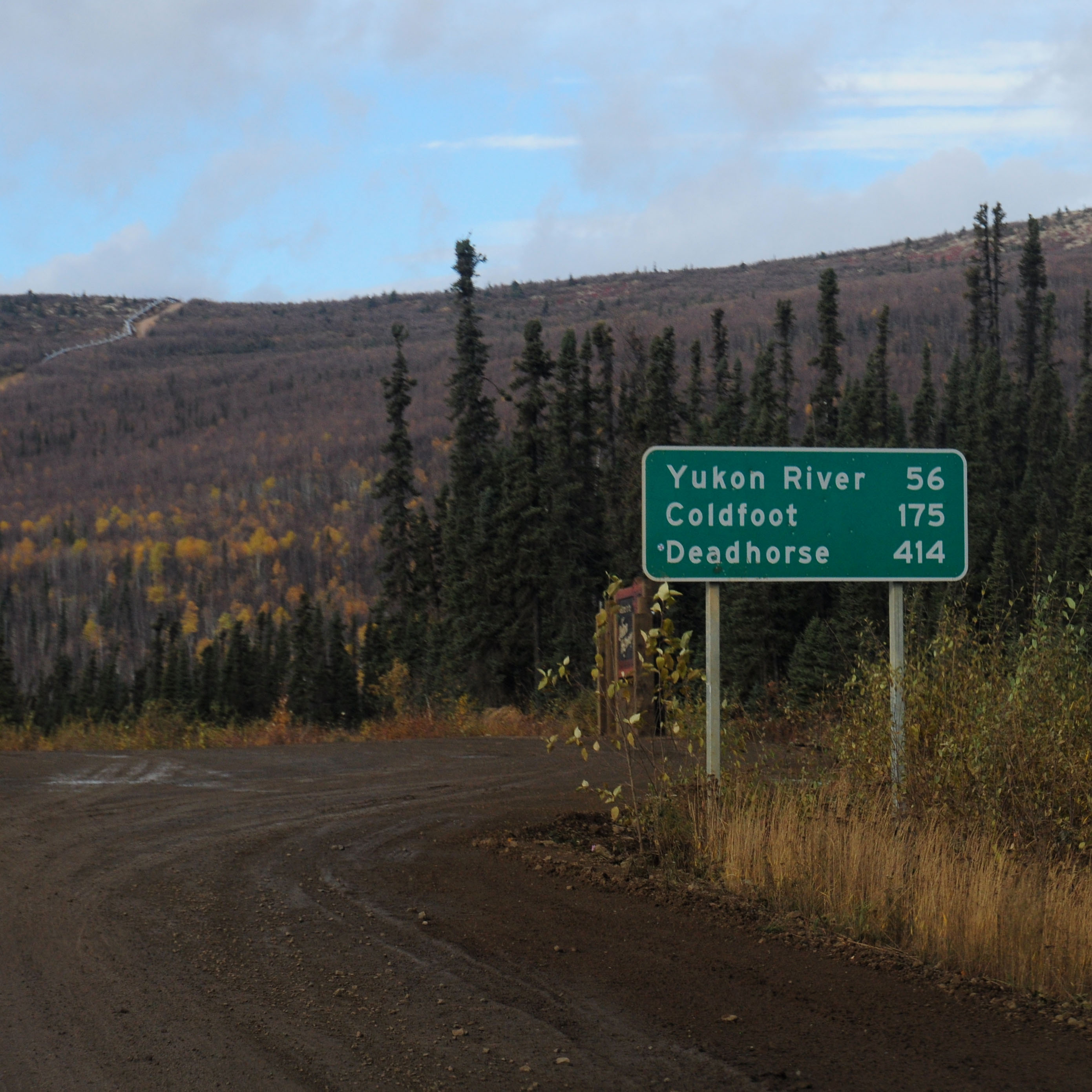
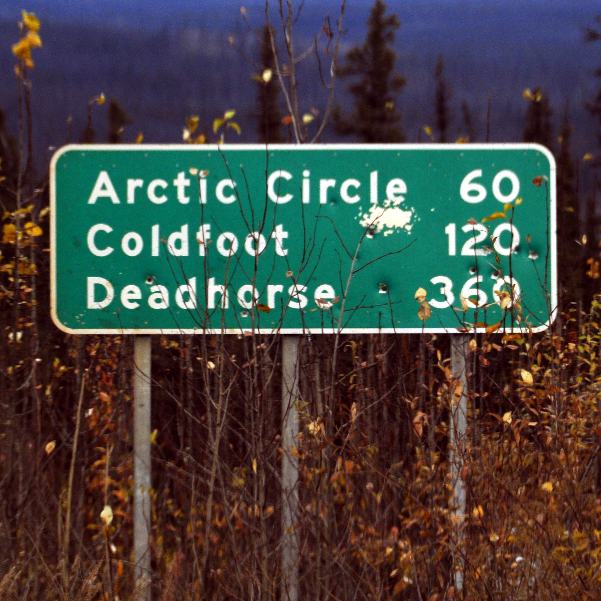
Distances to the end of the Dalton. In the background, the pipeline.
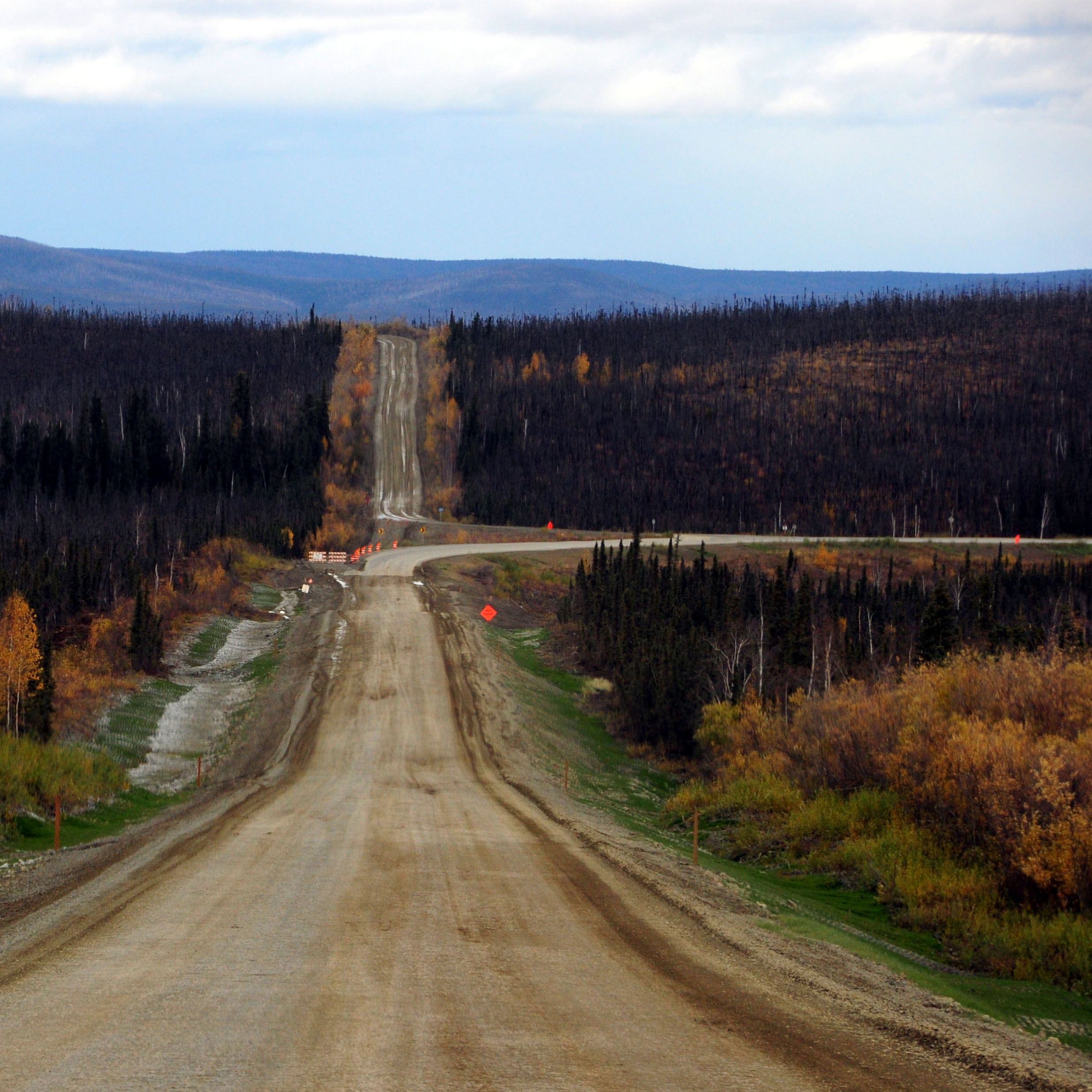
The Dalton alternates between pavement and dirt.
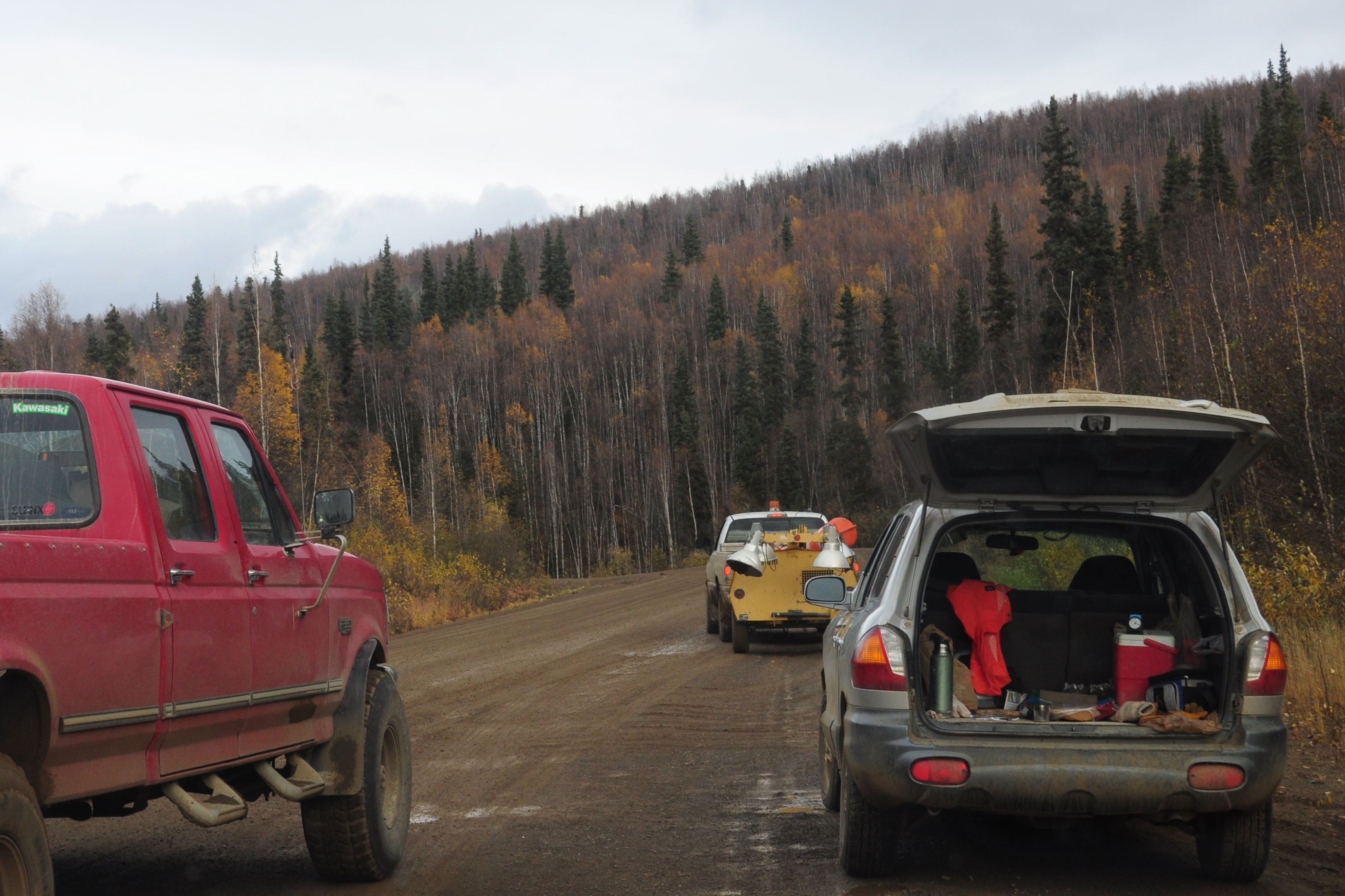
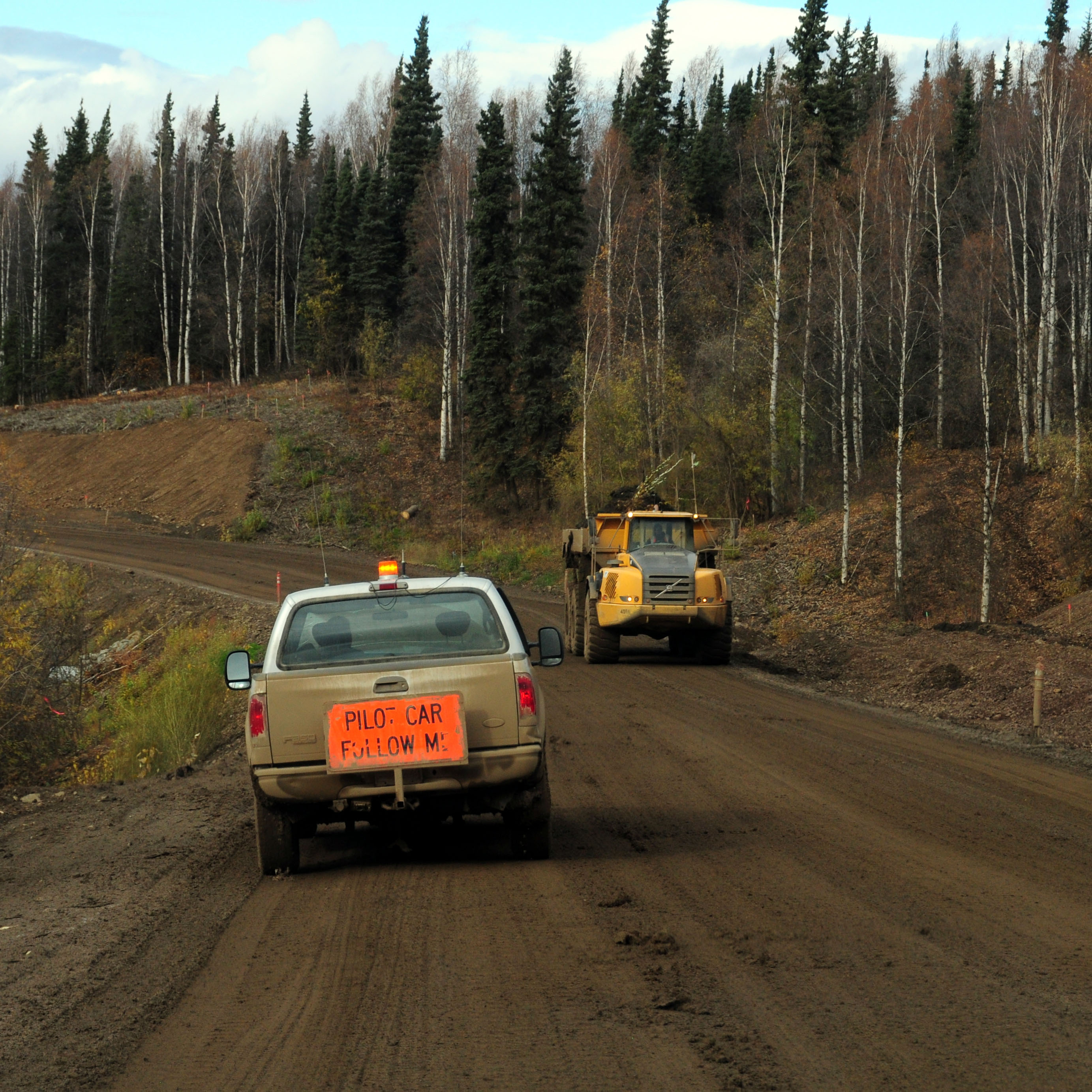
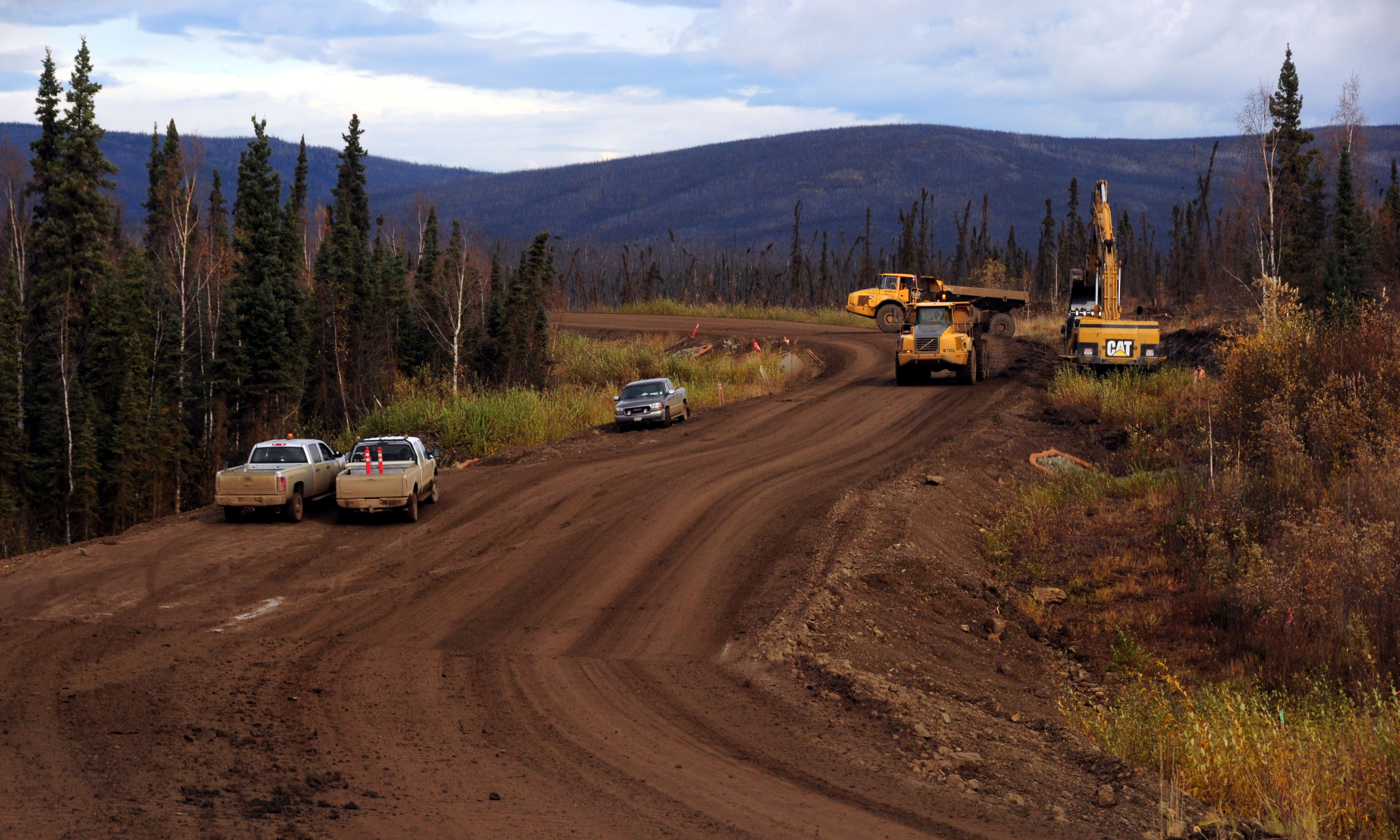
11 miles of construction. We wait for a pilot car.
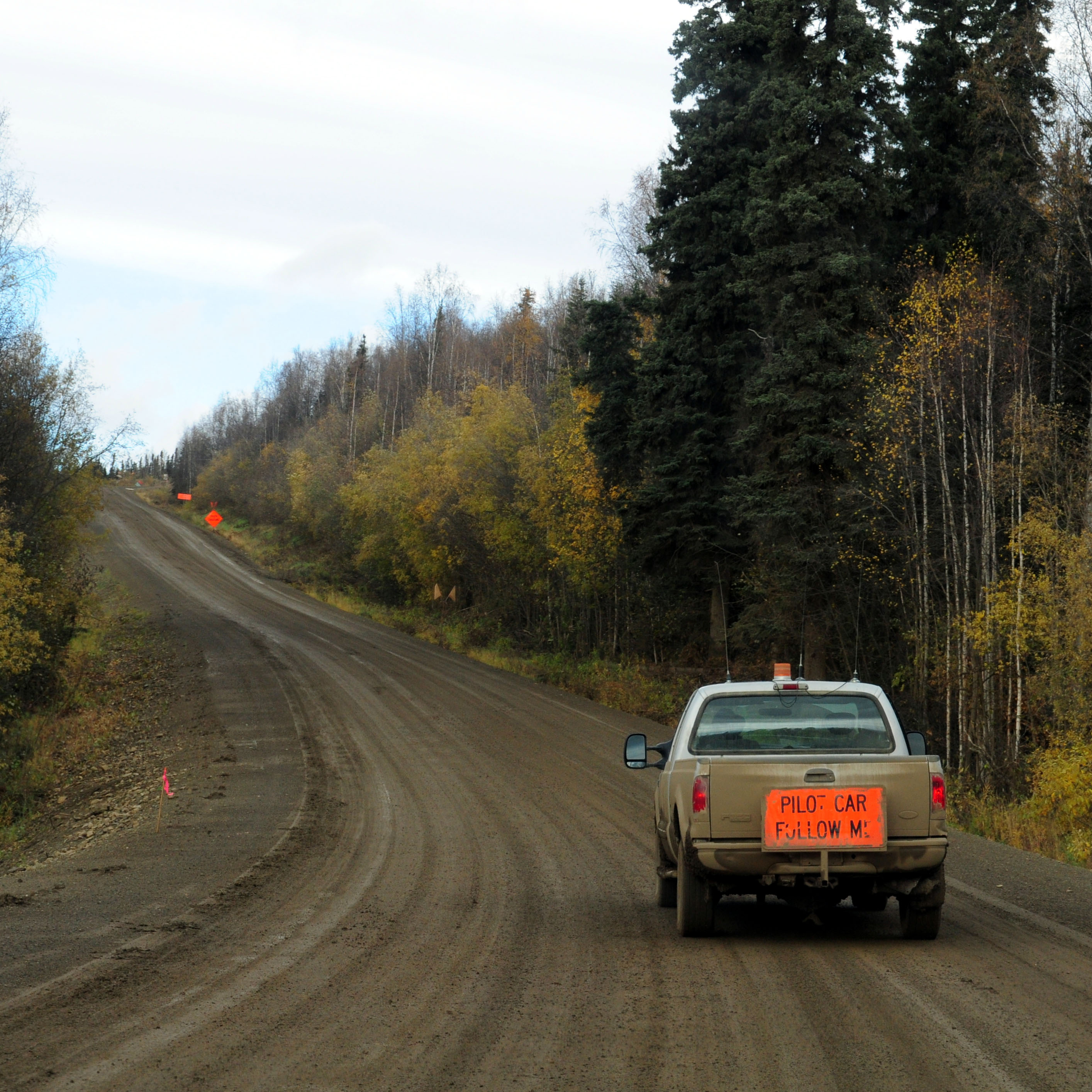
There we are!
Drive on the left.
Definitely drive on the left!
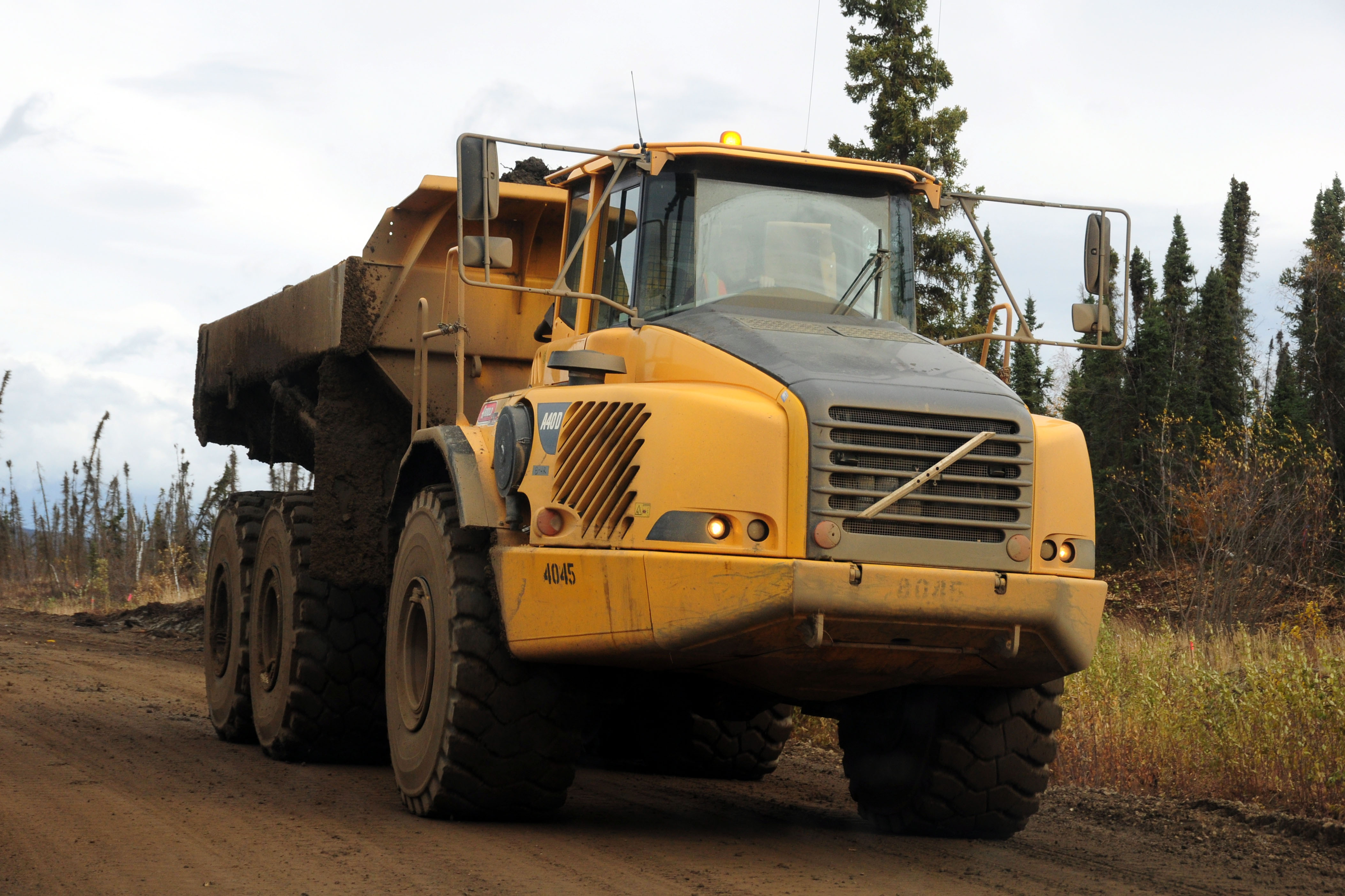
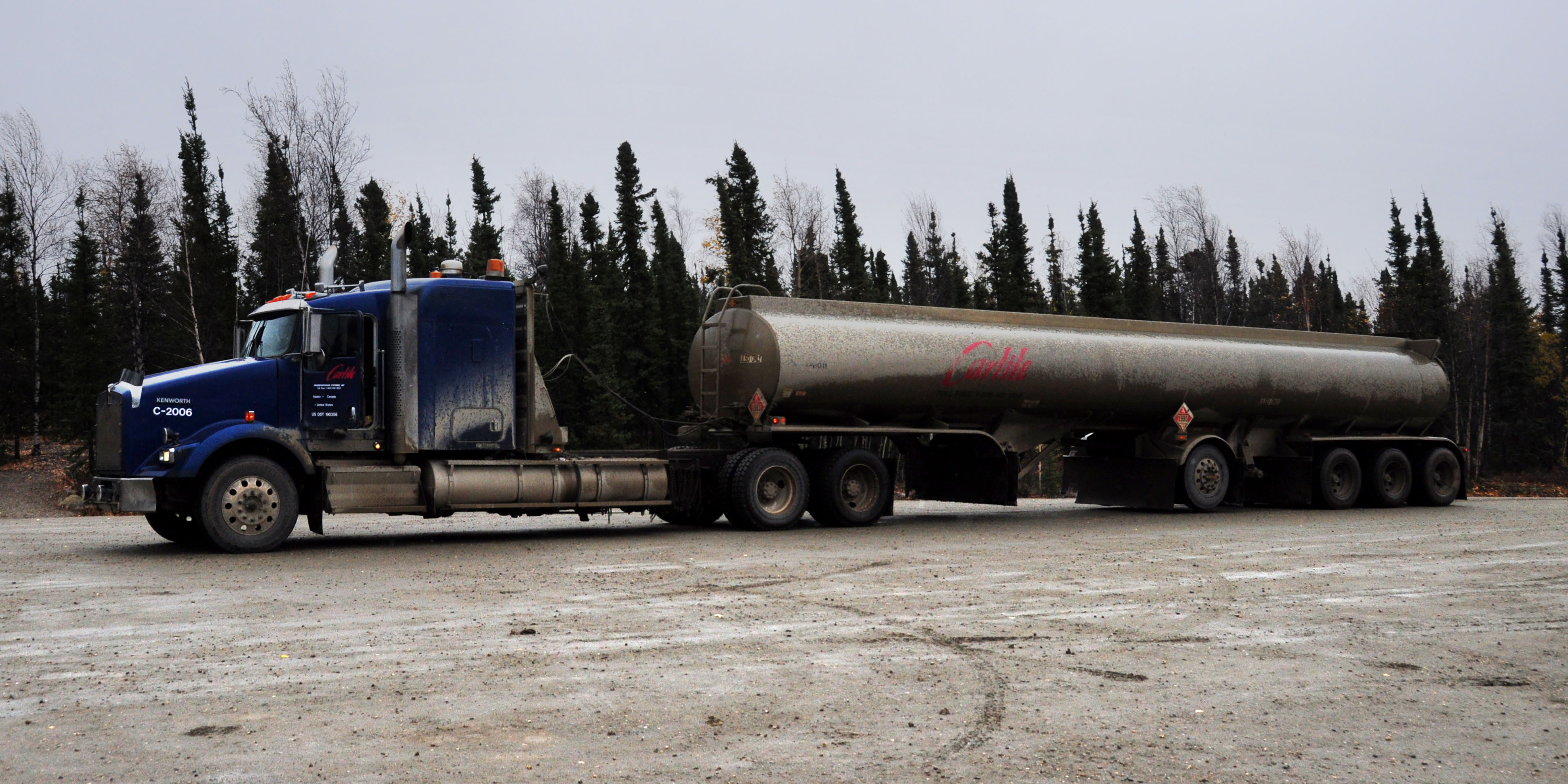
Large vehicle is large.
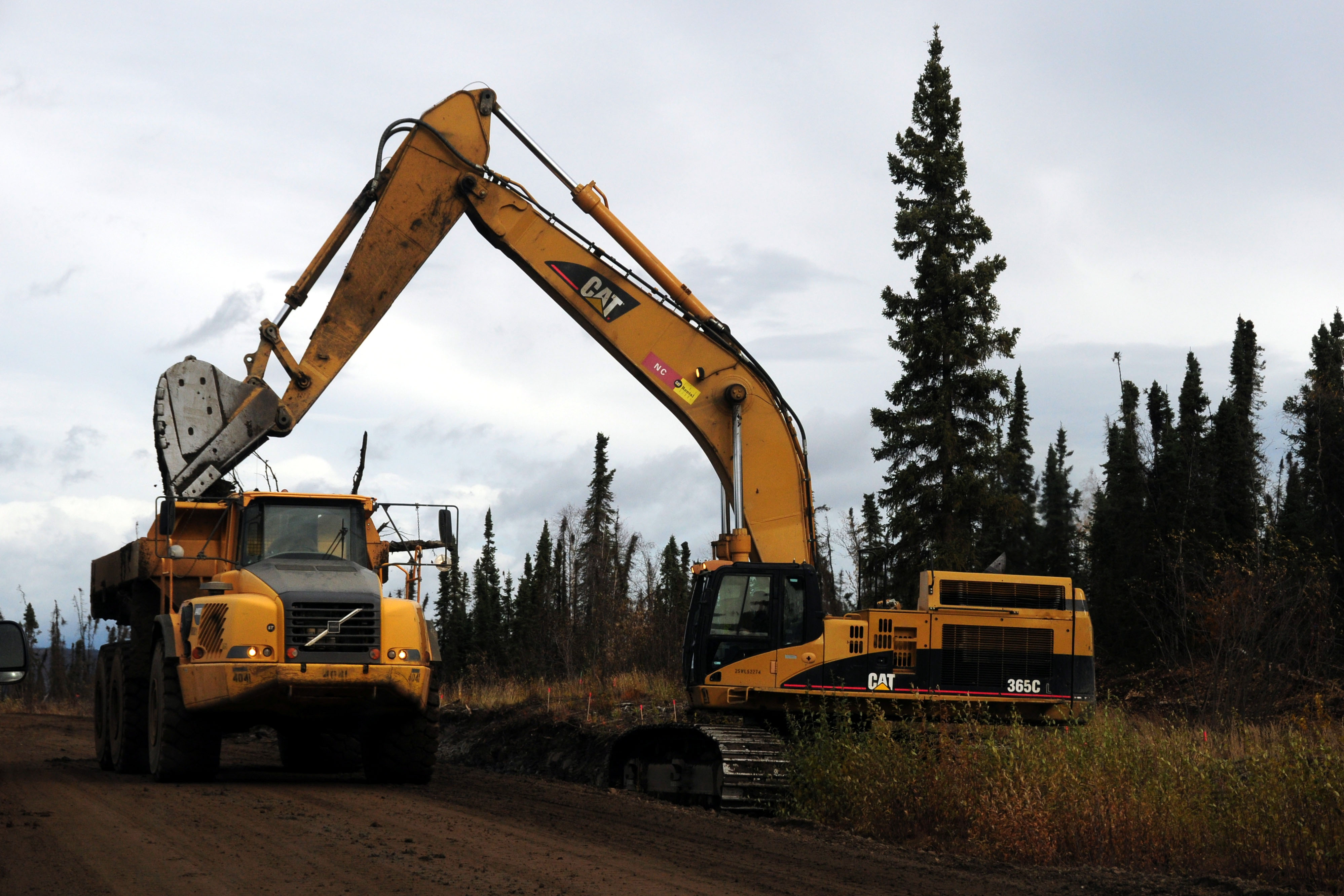
Digging a ditch.
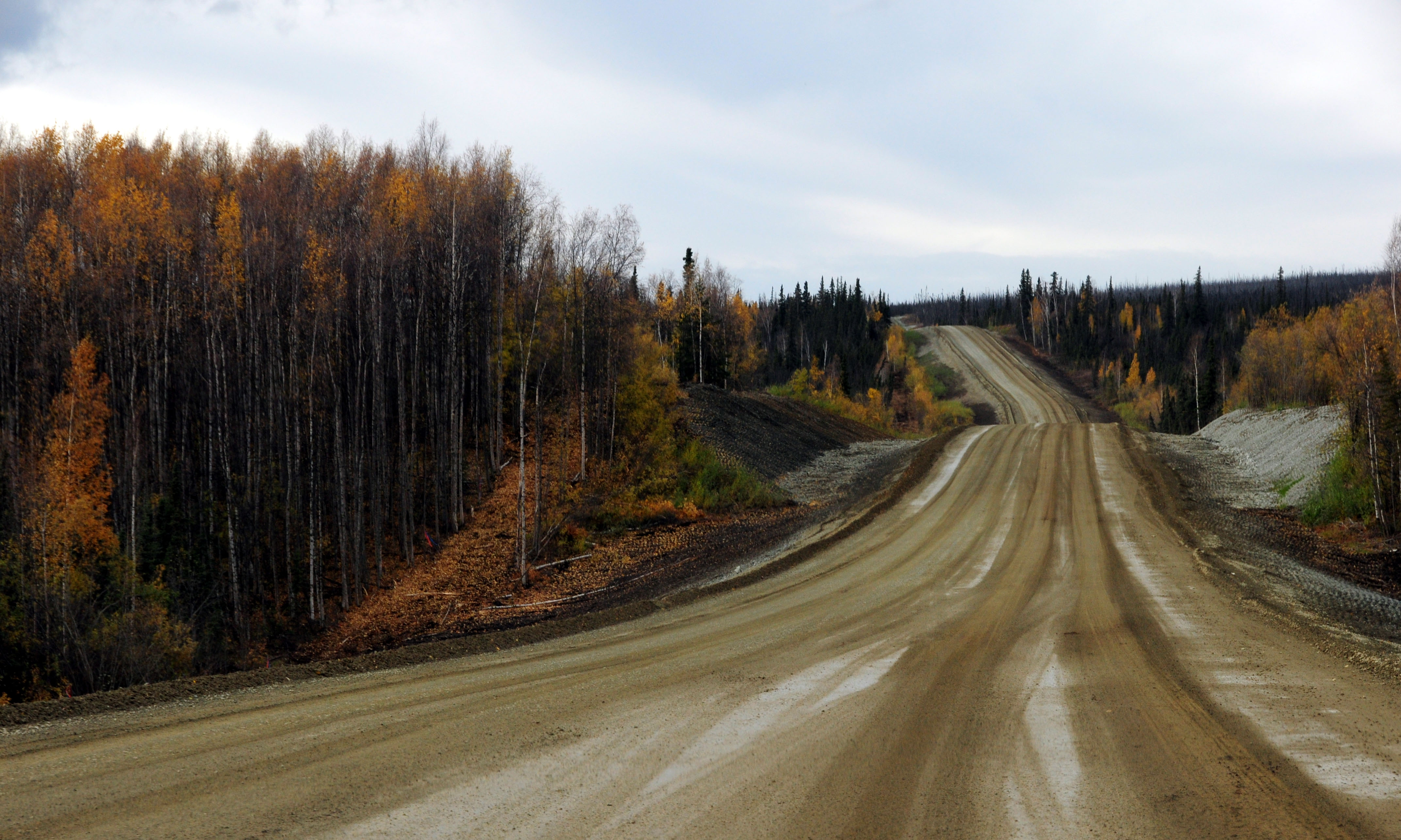
End of the construction project. The pilot car turns around.
Spot the old alignment.
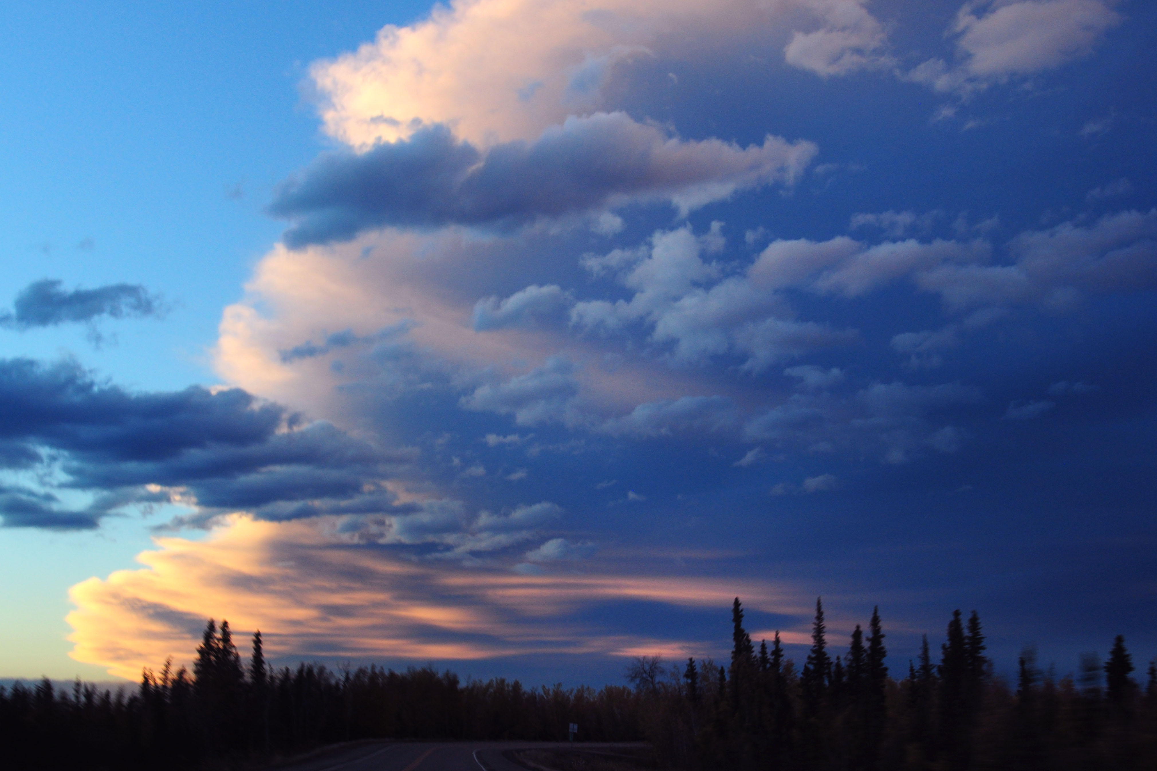
Striped clouds.
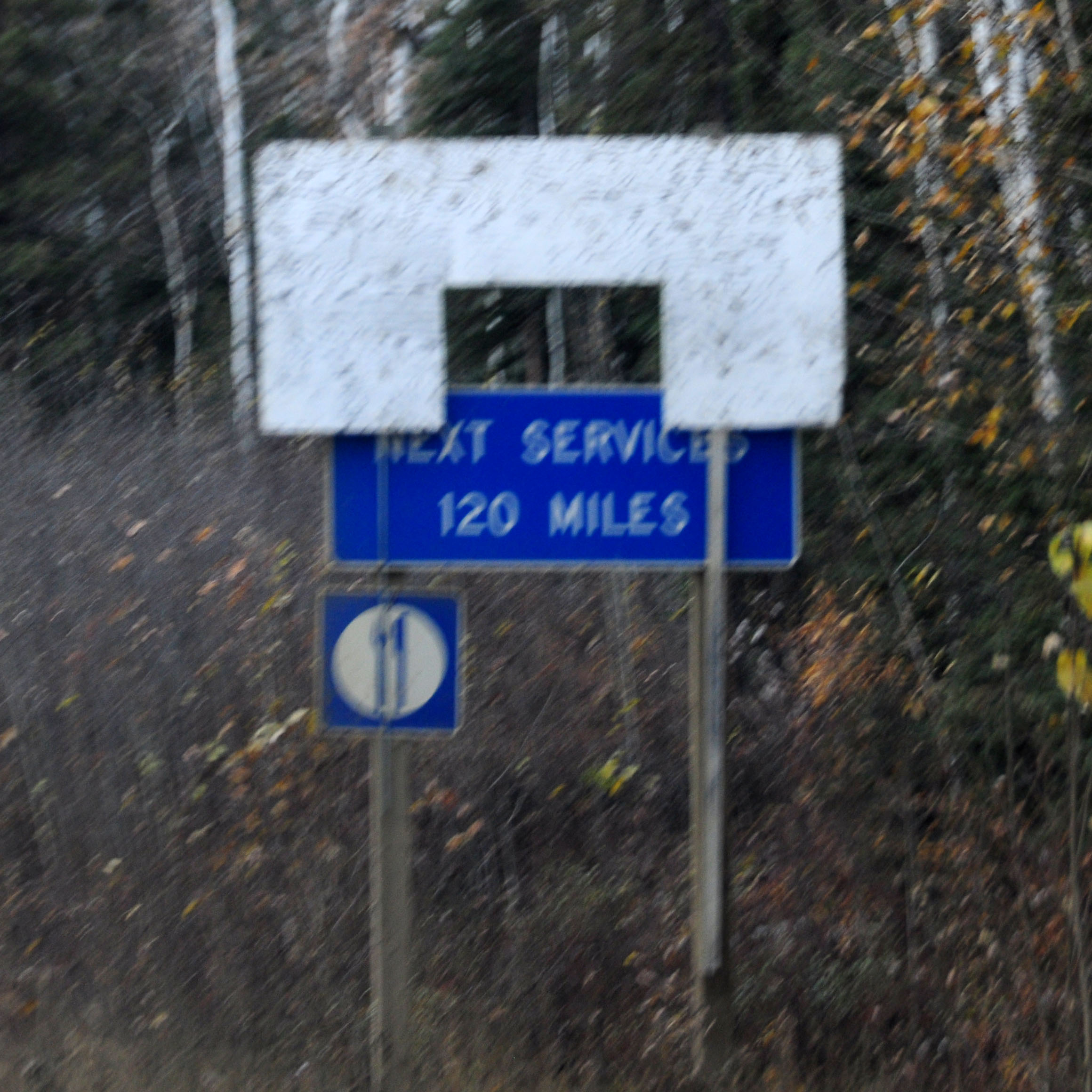
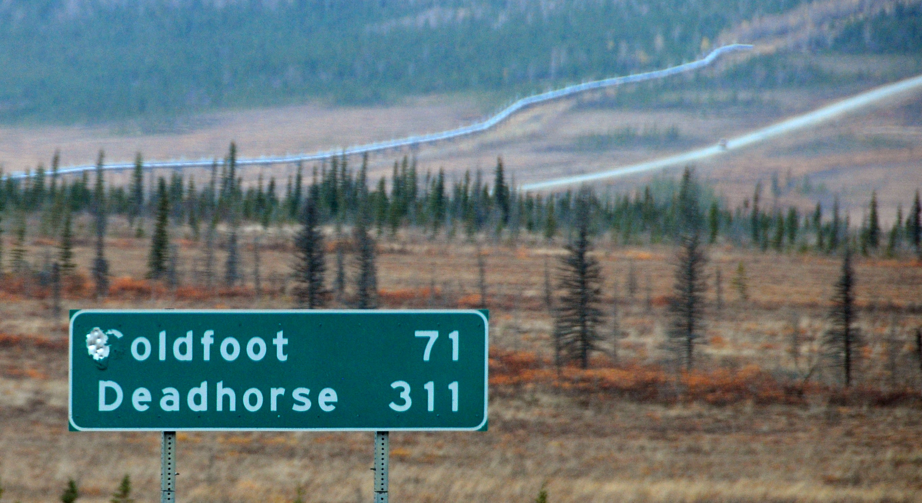
No services between Coldfoot and Deadhorse.
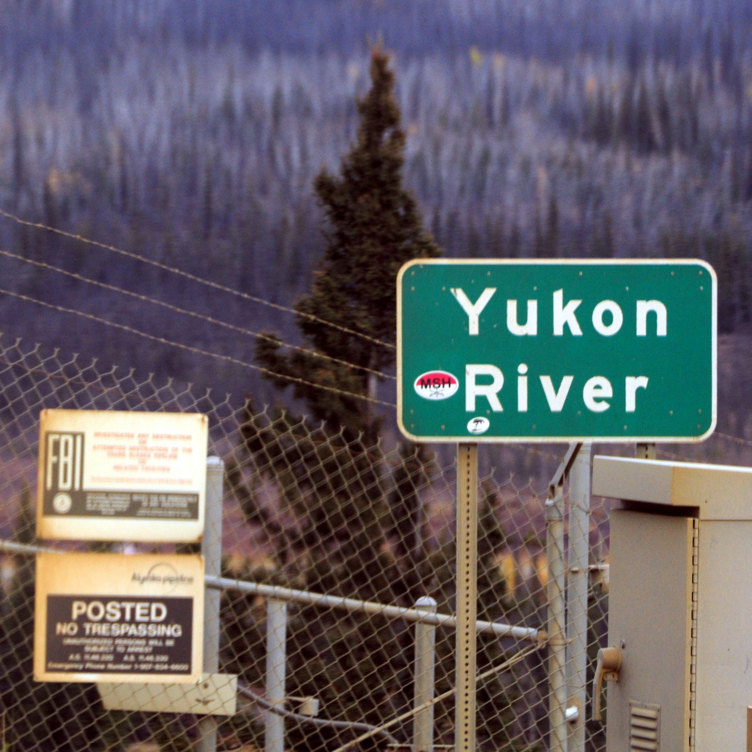
One of only four permanent bridges across the Yukon River. The four are on the Dalton Highway, the Alaska Highway, the Klondike Highway … and a bridge to cross into a neighborhood of Whitehorse.
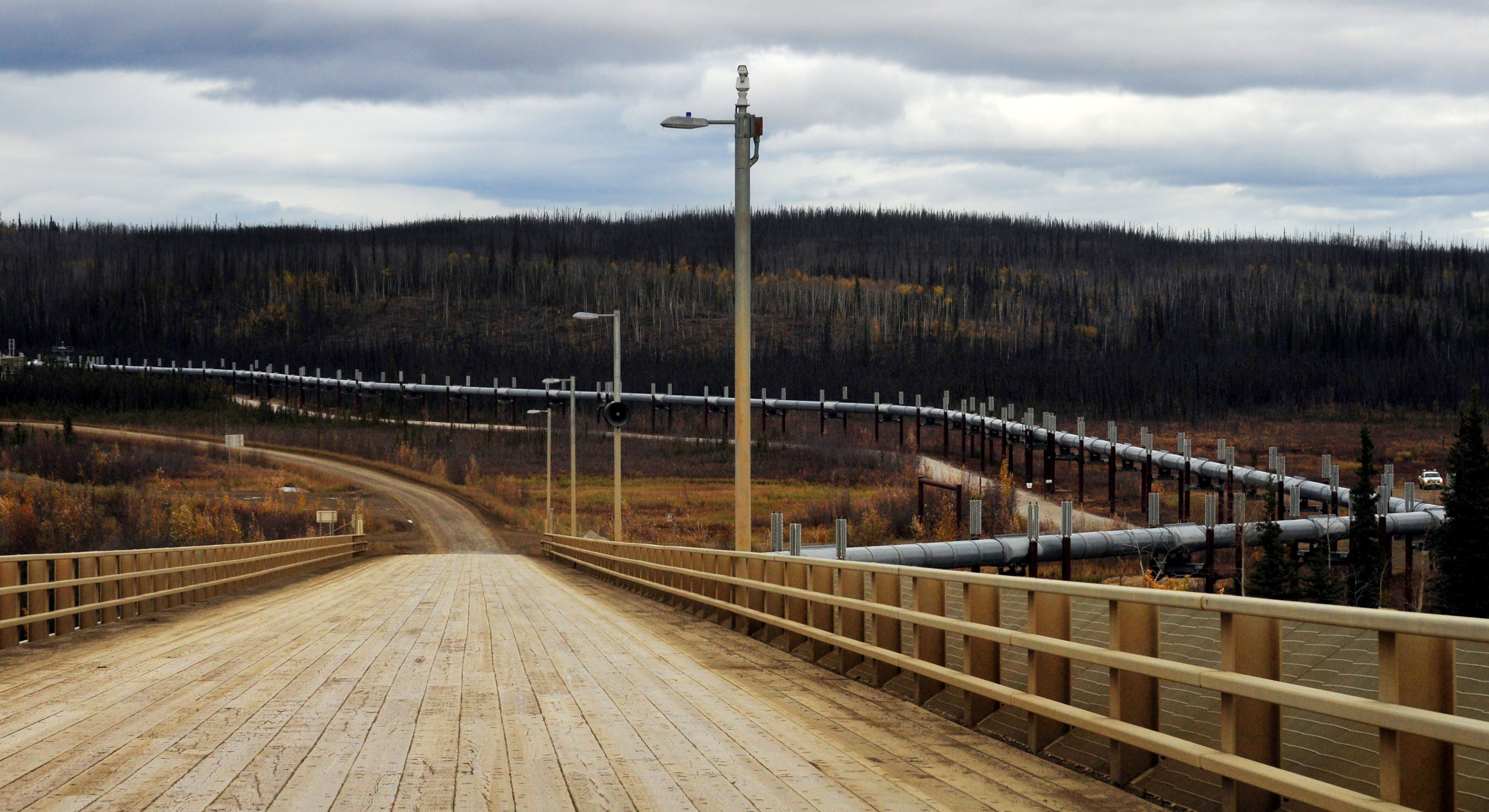
The pipeline is directly underneath the main bridge deck.
Coldfoot is the next stop.
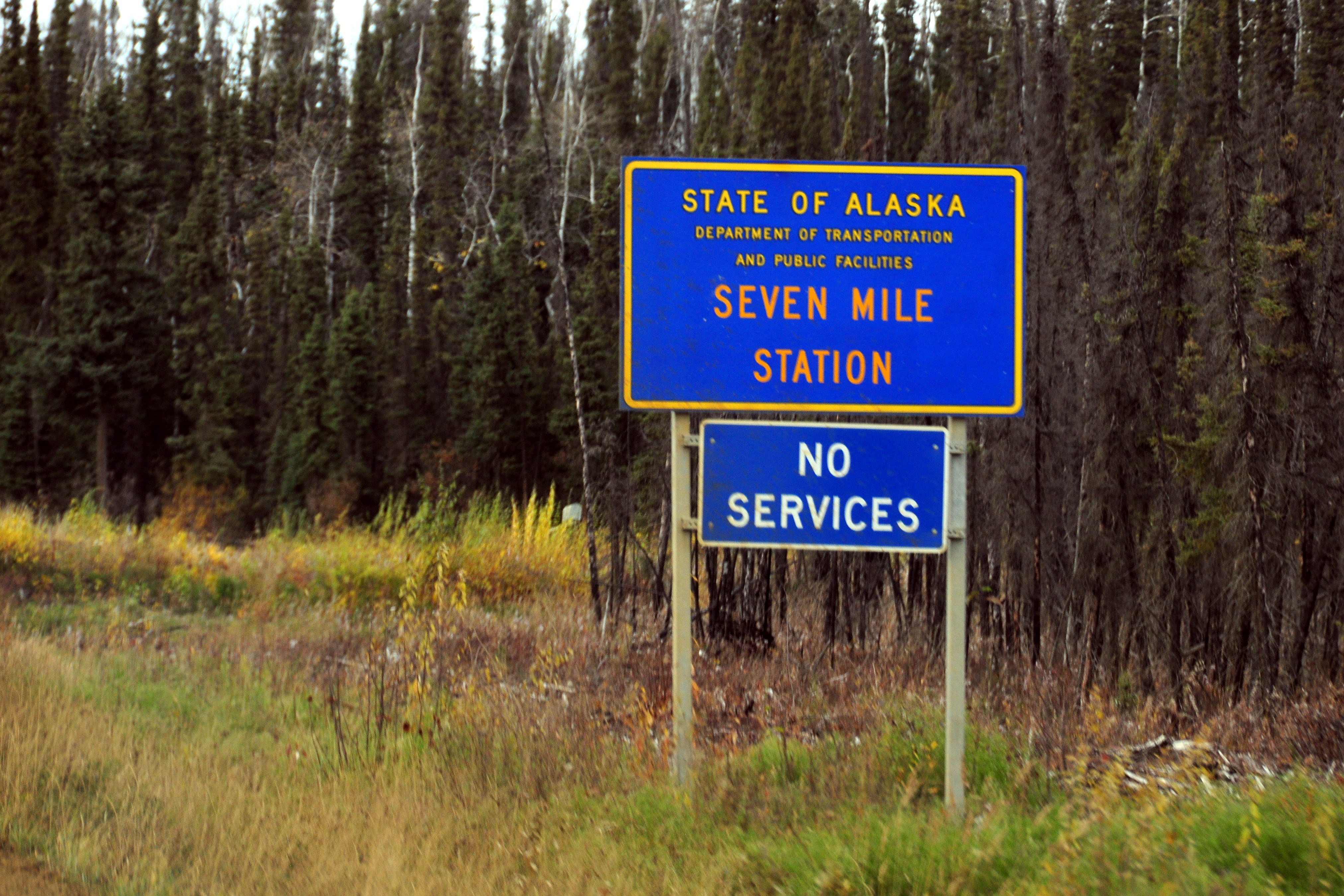
Quite often, there’s simply no one there.
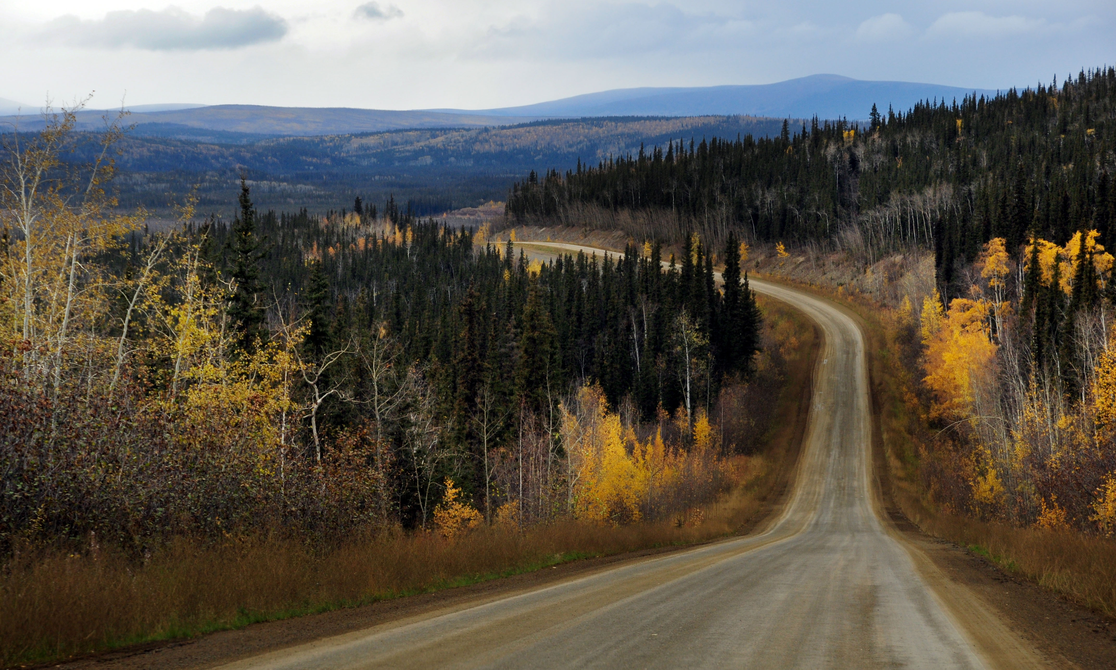
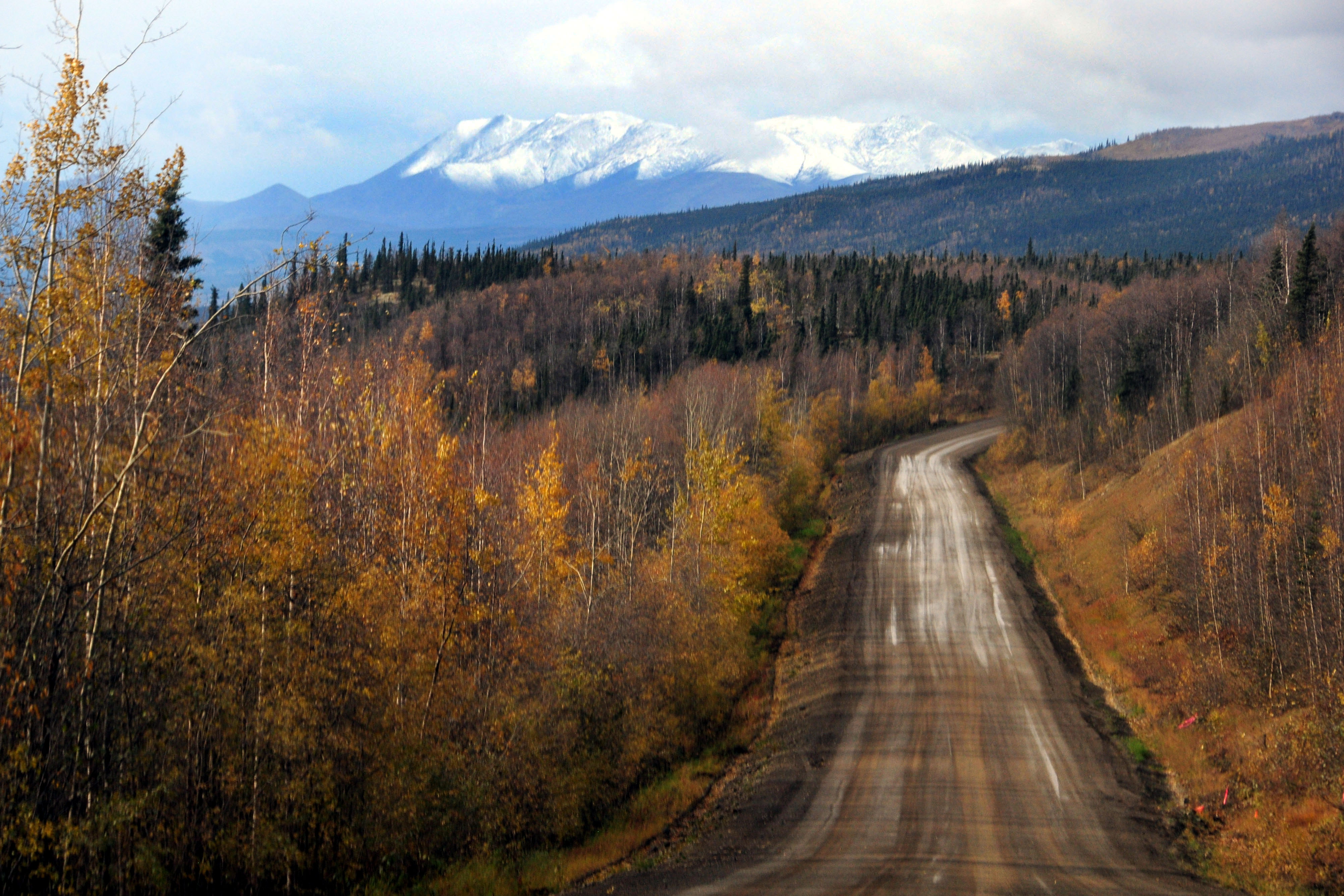
The leaves are changing color.
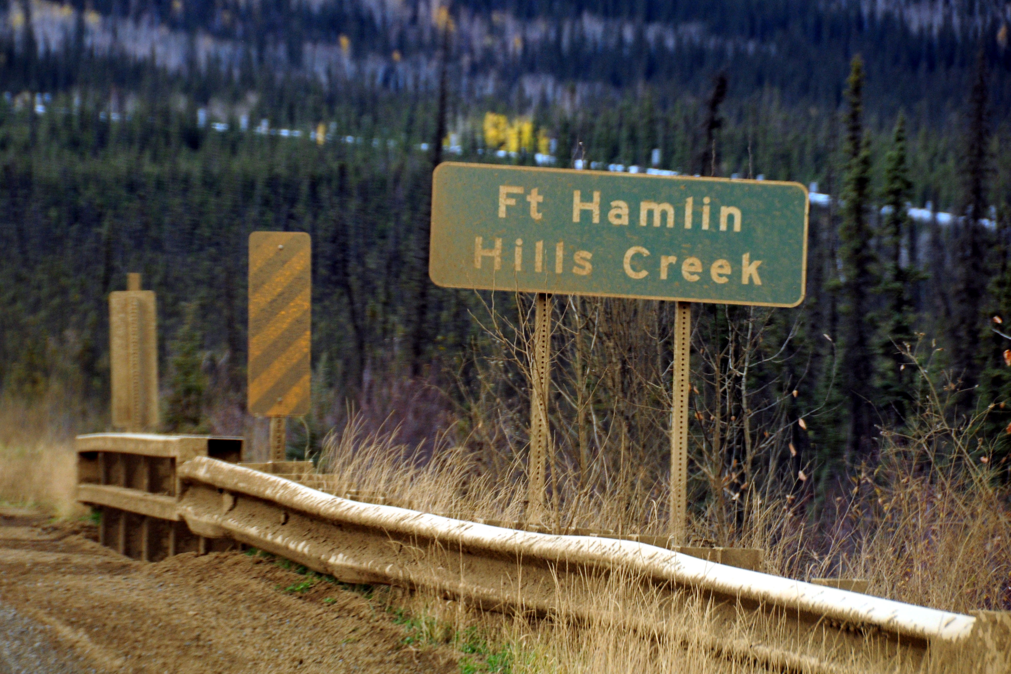
The signs don’t get washed very often.
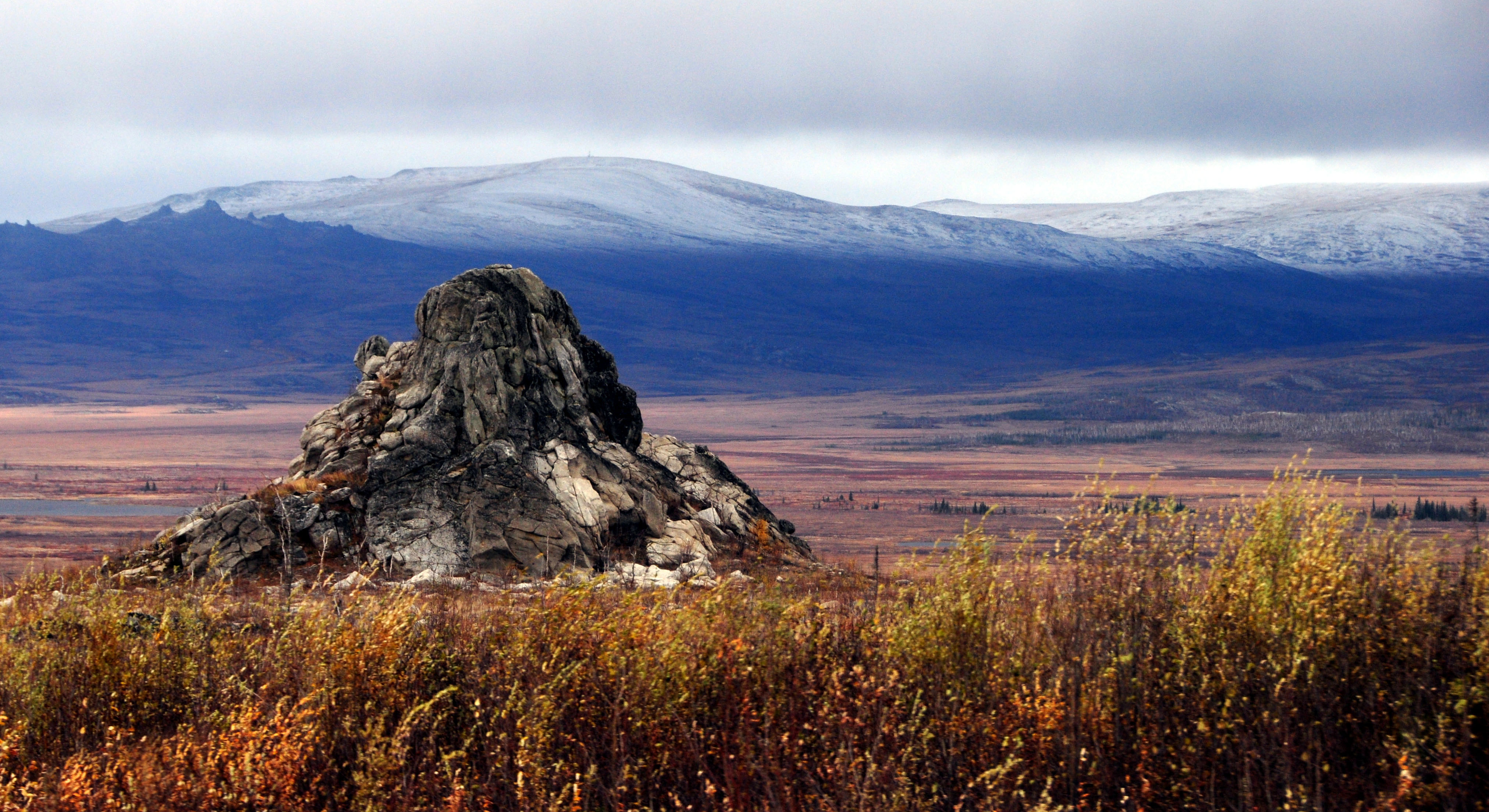
A sudden pile of rocks.
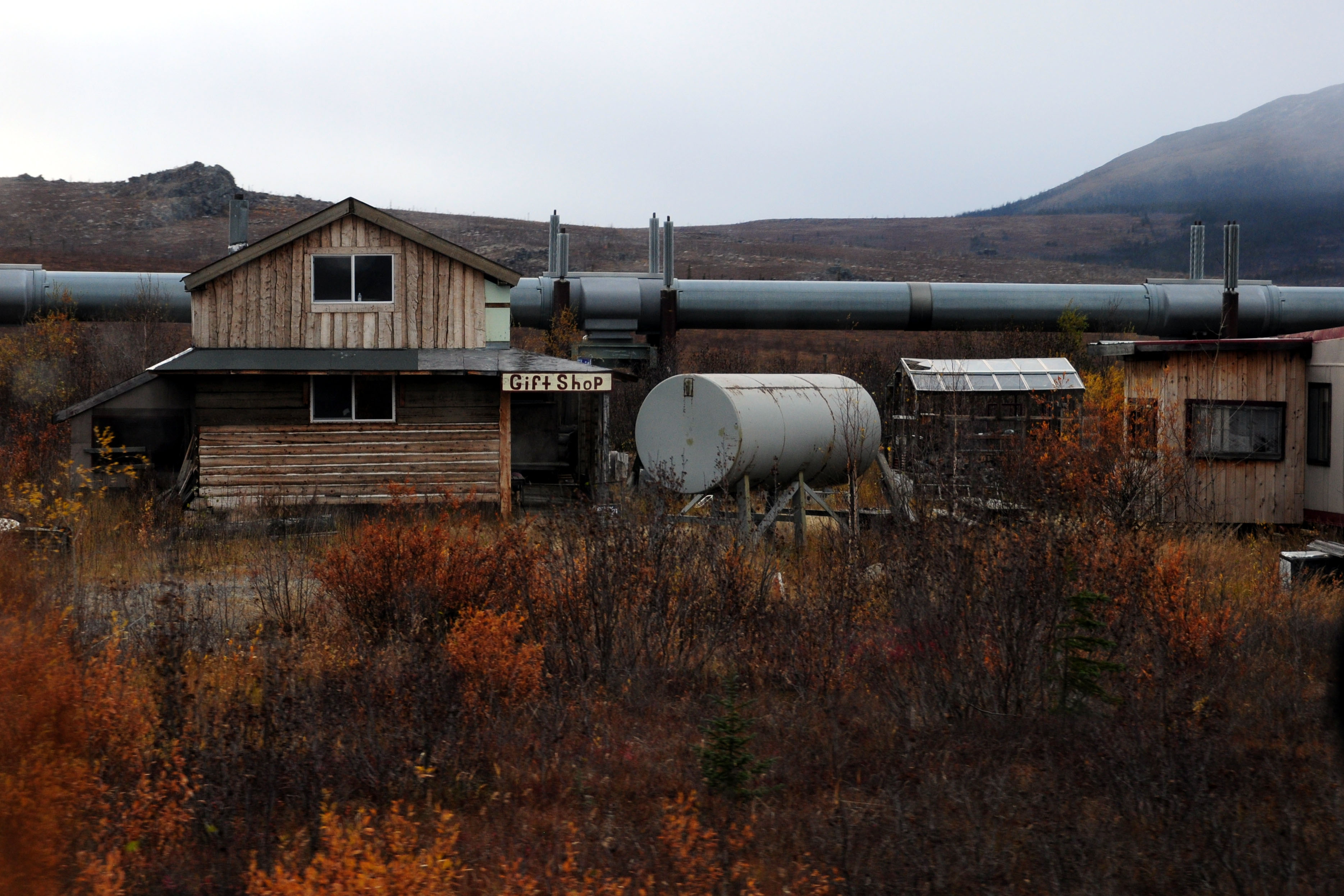
This gift shop is no longer in operation.
We’ve gone about 100 miles up the road.
Almost at the Arctic Circle.
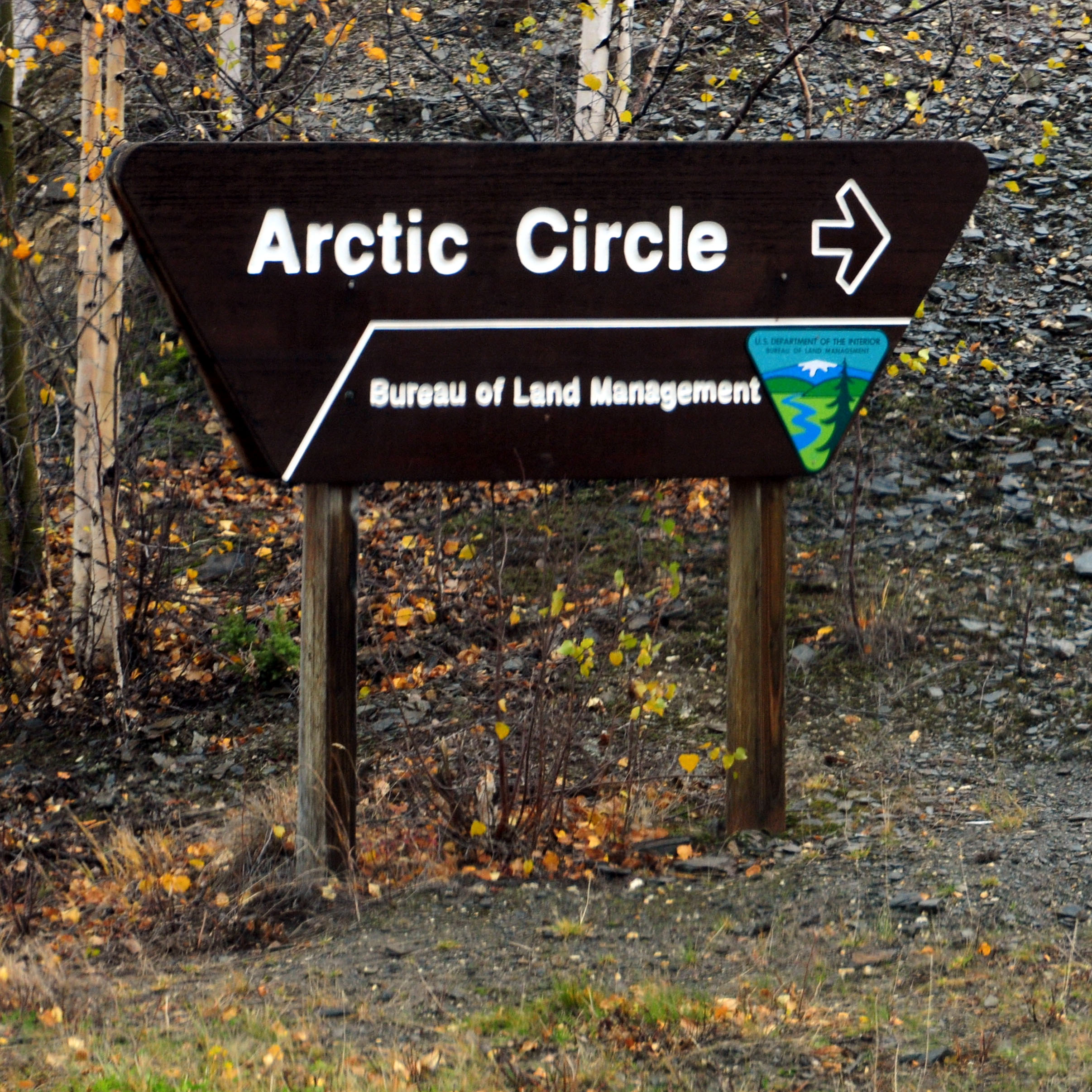
There we go.
These guys are going all the way up to Deadhorse, and they told us that the weather was terrible. So, with no chance of seeing the northern lights up there, we turned around. Will we see the northern lights? tune in next time!

Cool pics!!!
Couldn’t help but think about Ice Road Truckers. :)
Gorgeous!
Darn! What an excellent road! My wife and I drove US 61 from New Orleans to Thunder Bay Canada! We would love to take your road here!