
Continuing northward … and, on this day, greatly westward, as that is the way to get from Dawson to Delta Junction, which is the official end of the Alaska Highway. This batch of photos includes plenty of British Columbia and even some Yukon. About 70 photos total!

Dawson Creek at dawn. This monument is at the intersection (BC-49 and BC-2, actually) where the Alaska Highway officially begins. 2 ends at 97 around one mile in.

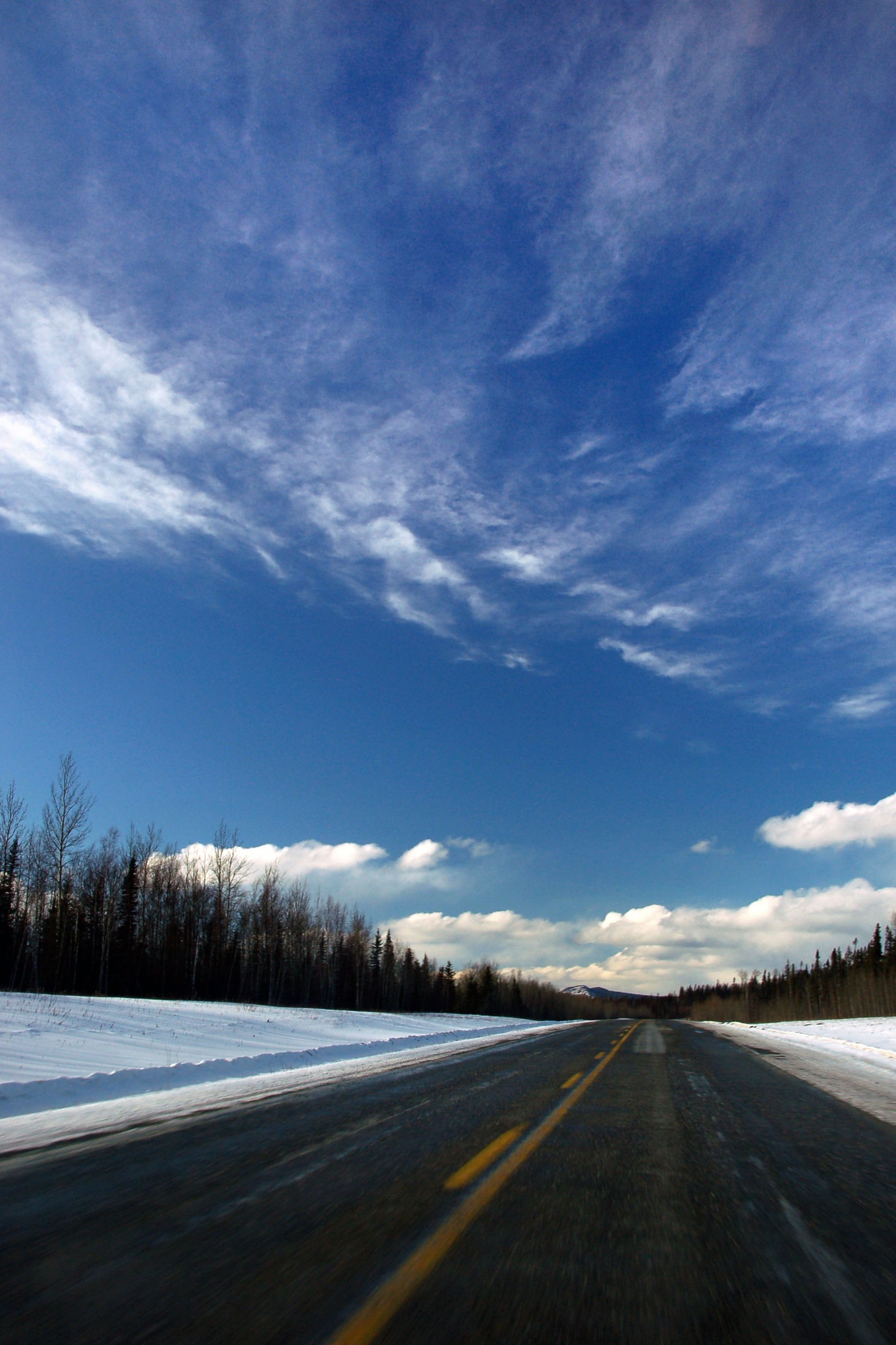
Ominous wintry yellow skies, as we approach our first mountain pass since just after Prince George the previous night. Yep, it’s going to snow.

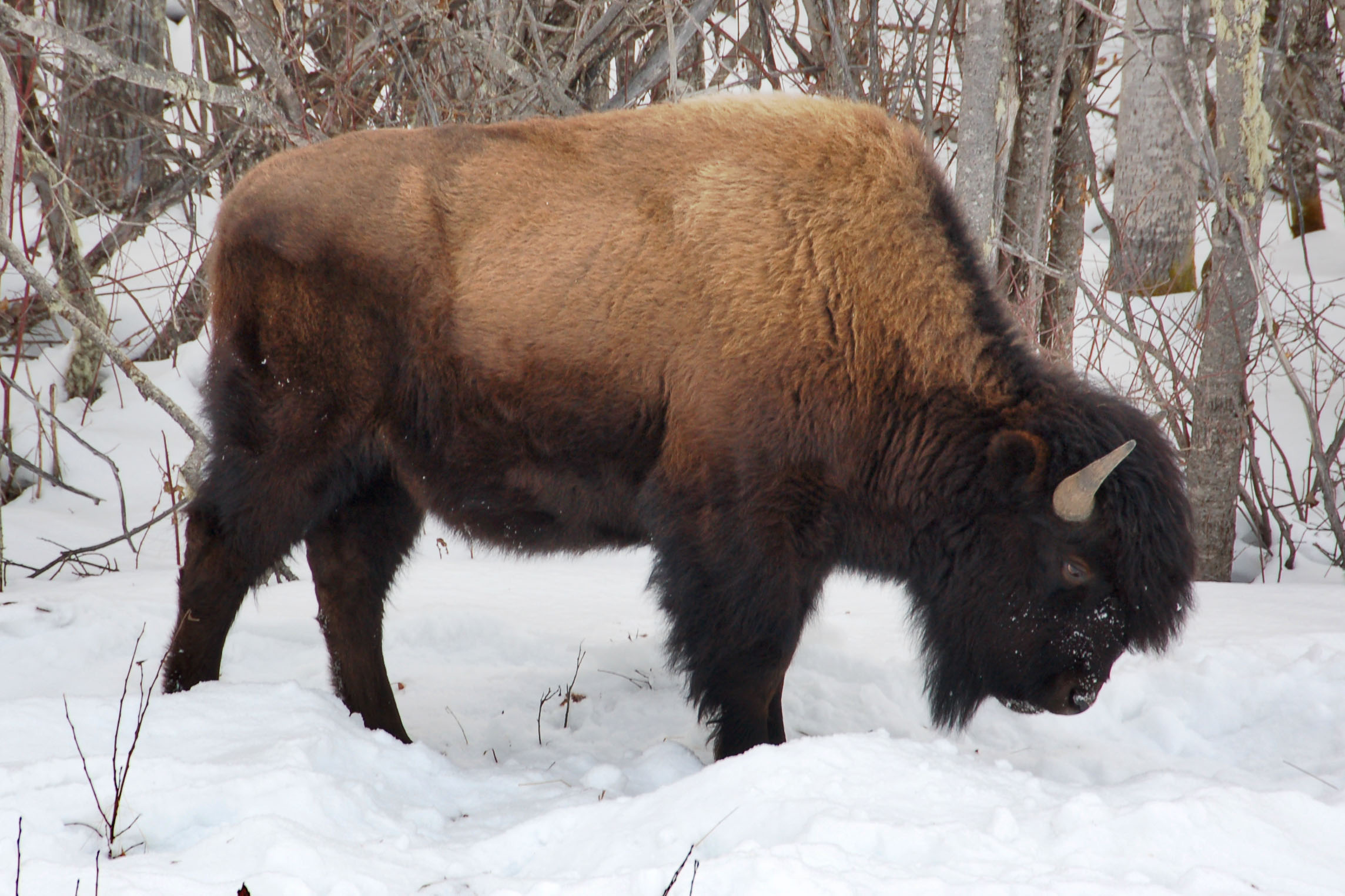
Large bovines of the Liard River Valley.

The Yukon boundary sign. This photo, of course, looks completely different than Dan’s take on the matter.

Sunset, somewhere around one of the many crossings between British Columbia and Yukon.

The bridge at Teslin.

Let’s start with the first shield set of the dawn. 29 is a bypass around Dawson Creek that reconnects with 97, and actually saves significant mileage – but we wanted to take the proper Alaska Highway, so we stayed on 97.

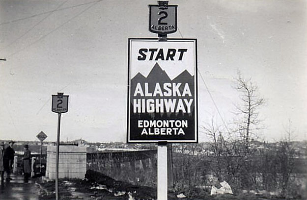
[Another excellent Dan photo for our enjoyment.] Here is the junction of 97 and 2, on the outskirts of Dawson. 2 is another important road – it becomes Alberta route 2 and connects to Alberta 43, which heads all the way down to Edmonton. The road was, at one point, Alberta 2 the whole way. Some say that the Alaska Highway starts in Edmonton.
here, as an example of “some”, is our friend the 1940s photograph.
Officially, it does not – but that is the way that the US Army supplies went from the lower 48 states. The mileposts, however, start in Dawson Creek.

The little park that has the official beginning monument, and also a historic mile 0 sign. [Dan photo.]

Here is a close-up of the Mile 0 sign. Many of these signs are posted on the British Columbia section of the route. Note the striped Silver Scotchlite. 1992 is a very late use of the material, as its replacement – Engineer Grade Scotchlite – was invented in 1950. However, many sign companies had invested in the heat-adhesive machine that was needed to apply the old silver stuff, so 3M kept making it for those customers as late as 1996 – once the initial cost of the machine was sunk, the actual sheeting was somewhat cheaper.

This statue of a surveyor is in the same park.

Another view of the 97/2 junction. 2 ends here. Interestingly, the BC-2 section of the Alaska Highway through downtown Dawson Creek was labeled by our GPS as none other than … US-97. Yep, in Canada.
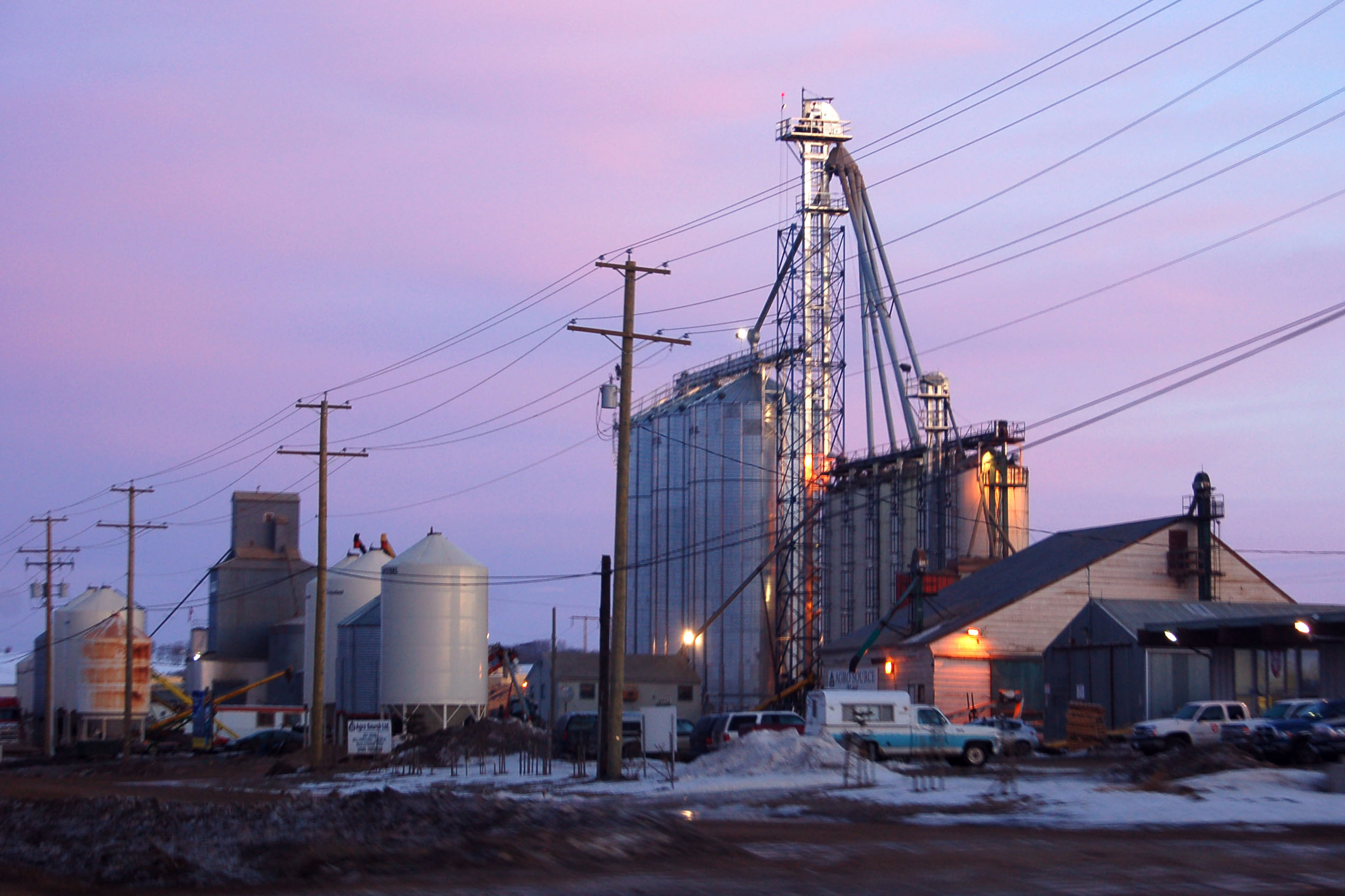
Lots of grain elevators in this section of British Columbia.

Some trees in the last of the sunrise light.

The Alaska Highway is fully paved. This old alignment is not. [Dan photo.]

On the old alignment we find this original 1942 wooden bridge.

The first use of the infrared camera. Dan had a camera modified to be receptive to infrared as opposed to visible light, and this is what we get. Unfortunately, we had some problems with the focus, so the first few photos are going to be extra blurry.

I believe this is the first sign with the distance to Whitehorse. The figures are in kilometers, but that is still a ways to go. [Dan photo.]
(Three guesses as to how far that first destination city is from Dawson Creek.)

This is the part of the Alaska highway that goes straight for a while. Between Fort St. John and Fort Nelson, there are several of these straight sections. [Dan photo.]

Dan descends to Hell in a handbasket – and seems quite happy to accept his mystical journey. Also, his clothes are not transparent in IR.
Scenery in infrared.

Typical encounter on the Alaska Highway. I think at one point we went about 100 miles without seeing a non-commercial vehicle.
Here’s where I literally hose Dan’s ability to take photos. No, it wasn’t raining – I just had to clean the windshield.

Future Bear materializes suddenly in the present.

Here is a random hilly section of the road.

Trucks are not transparent in IR.
Future Bear journeys across space and time to join us again somewhat farther down the road.

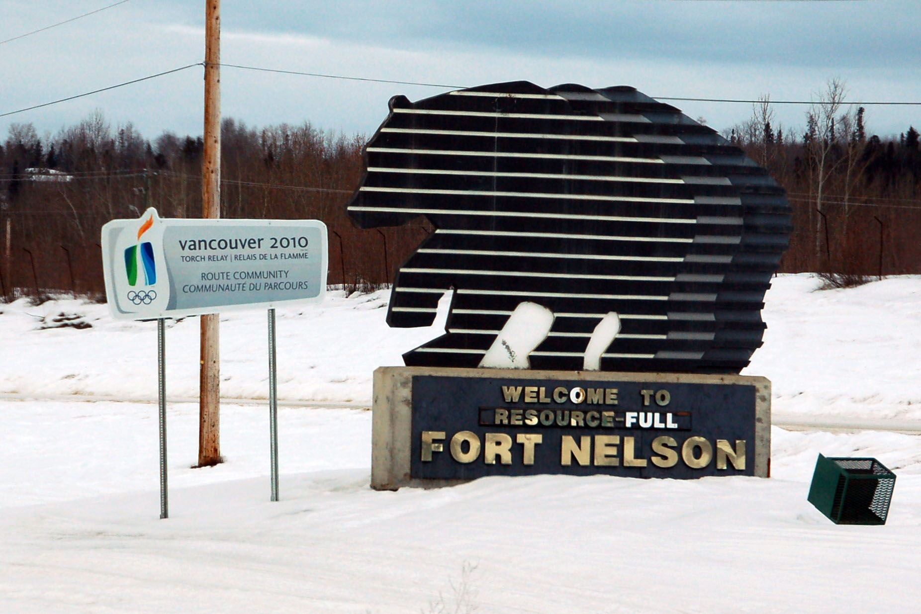
Heading out of Fort Nelson. Yep, we got gas in Fort Nelson. 250km is not the distance to the Yukon line, where there is a gas station with similar prices ($1.17/liter at the time). No, in 250km, you are offered the chance to purchase gasoline for $1.89/liter – it’s another 150km to the Yukon line.

This is the first reassurance marker of the Liard Highway, which connects to Yellowknife, Northwest Territories. In retrospect, we should’ve made the 133km-each-way spur – we certainly had all kinds of time on our hands. On the second day of the trip, we didn’t know it, though.

Yellow skies don’t look quite so ominous in infrared. But it’s still going to snow.
It is impossible to discern from the photo, but here we are doing 116mph. The car topped out at 121. We saw precisely one police car north of the Yellowhead Highway in British Columbia and Yukon.

Yep, looking a lot like snow ahead of us.

Clearly visible in the photo is the large truck that we are following through the pass. [Dan photo.]
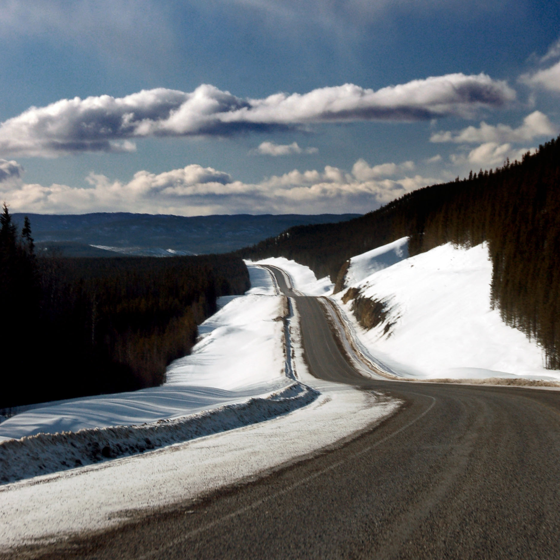
We make our way through the worst of the pass.

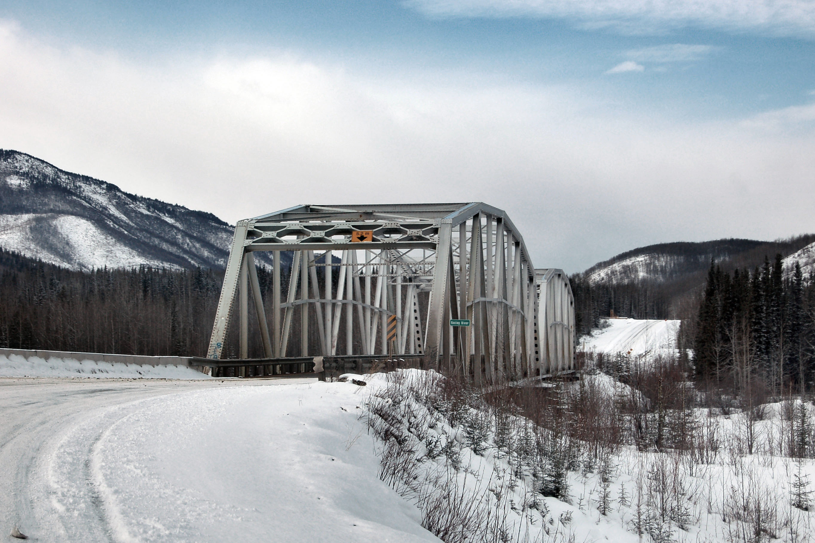
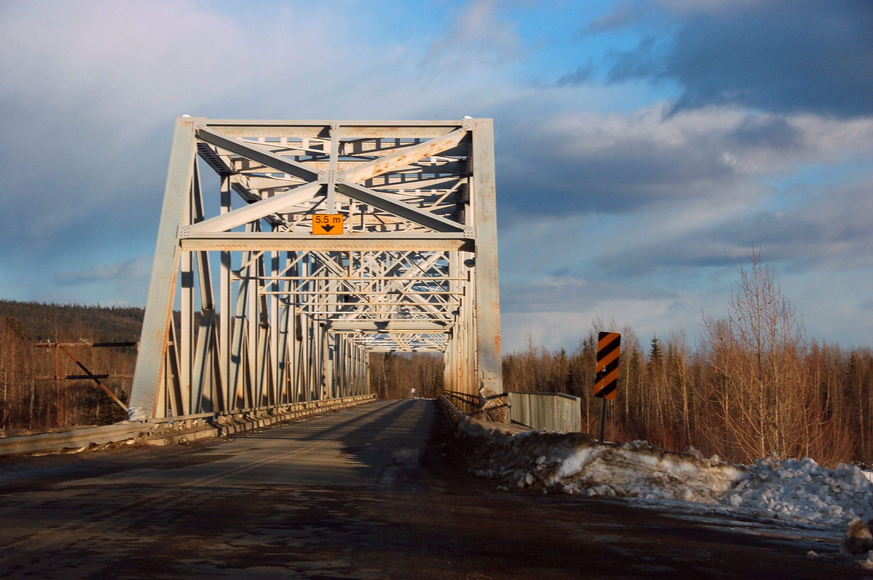
One of the many, many truss bridges on the Alaska Highway.
We’re past the worst of it – that is, indeed, a patch of blue in the sky.

The sky is definitely clearing.
Uh oh, is that more snow in the distance? (Yes. Yes it is.)

Taking pictures directly into the sun.

First town in 250 kilometers. Last town for 150 more. Expensive gas, anyone?

Stick-figure horse crossing. [Dan photo.]
The first reassurance marker in a very, very long while. (Since the Liard Highway junction, if I recall correctly.) [Dan photo.]

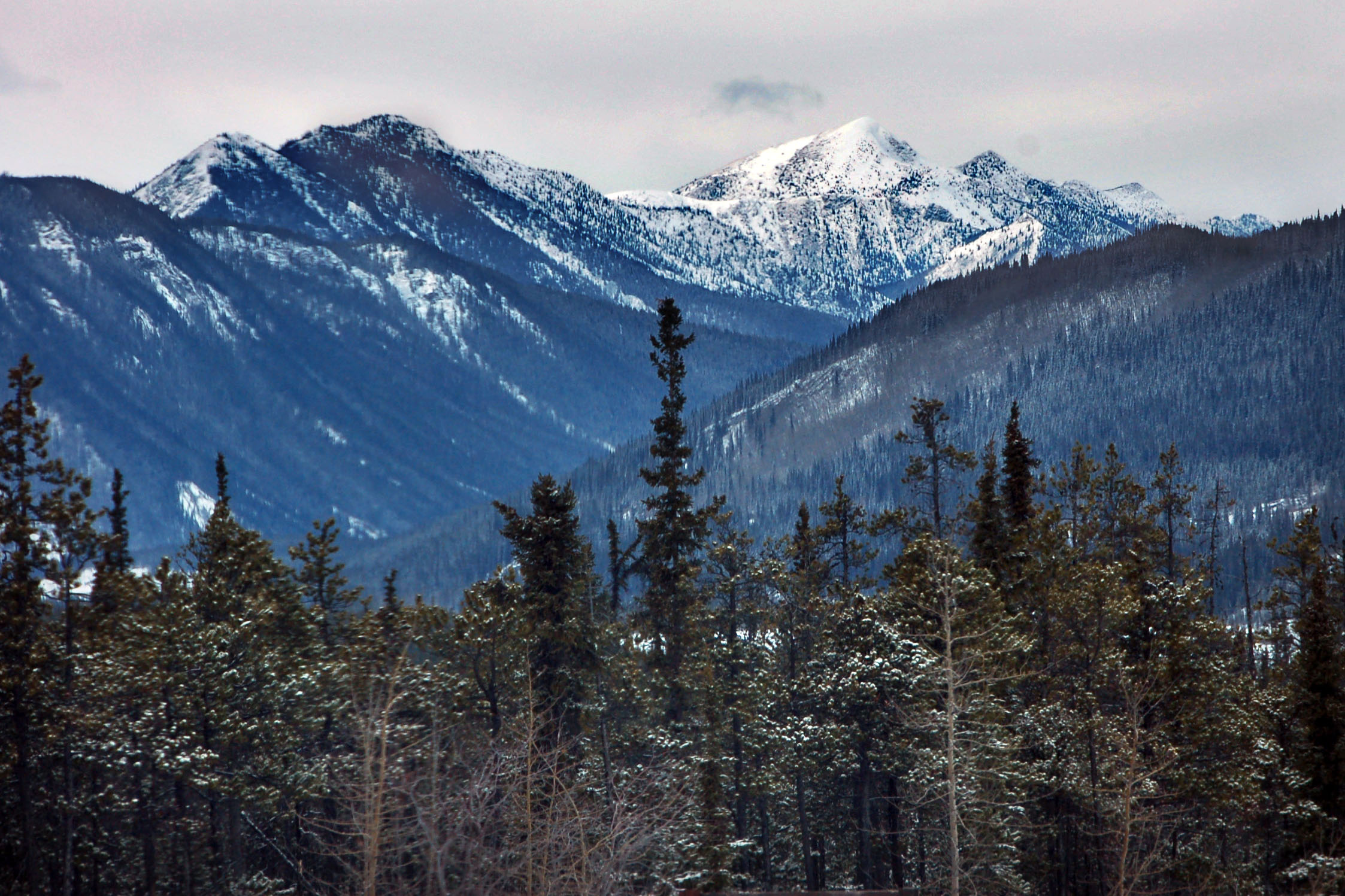
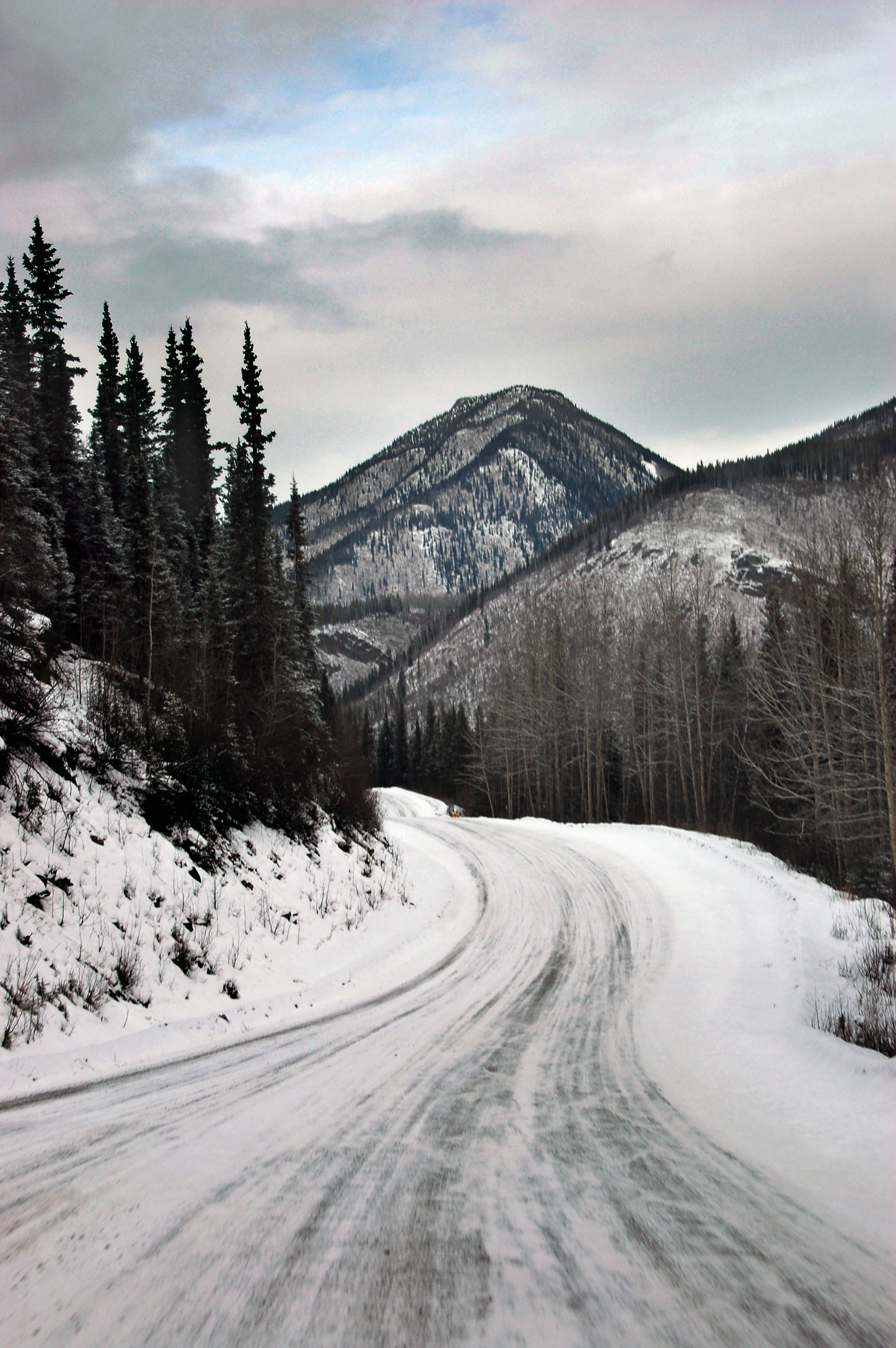
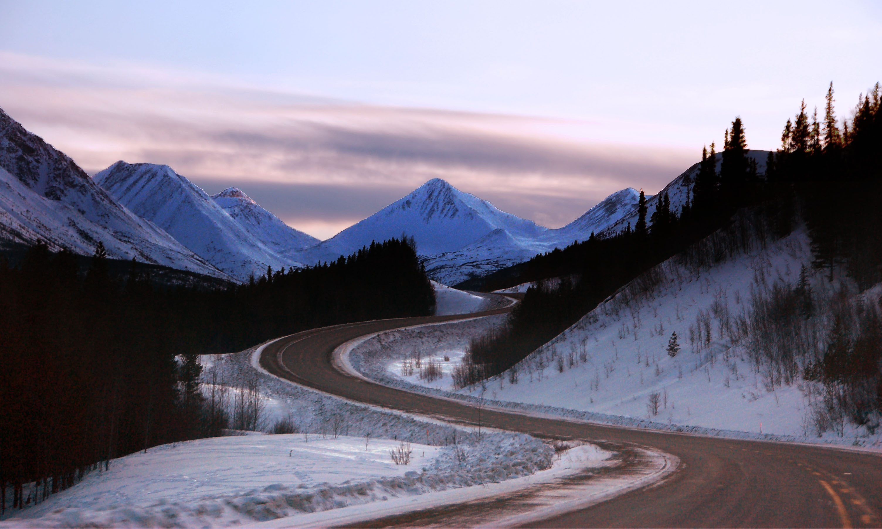
Back into the mountains we go.

You guessed it – more mountains around the bend.

Caution: buffalo may be large enough to take up both lanes easily. [Dan photo.]
Just around the next bend…

This suspension bridge crosses the Liard River.
No more snow! (For now, anyway.)
No more mountains either. We follow the Liard River for a while.

More large bovines of the Liard River Valley.

A rare reassurance marker.
While the river goes around a hill, we go over it.

The first Yukon crossing on the Alaska highway. This isn’t an official sign – just one put up by the advertised services at Iron Creek. There are three short loops into Yukon, before a long-ish return to British Columbia, and then the road finally crosses into Yukon.

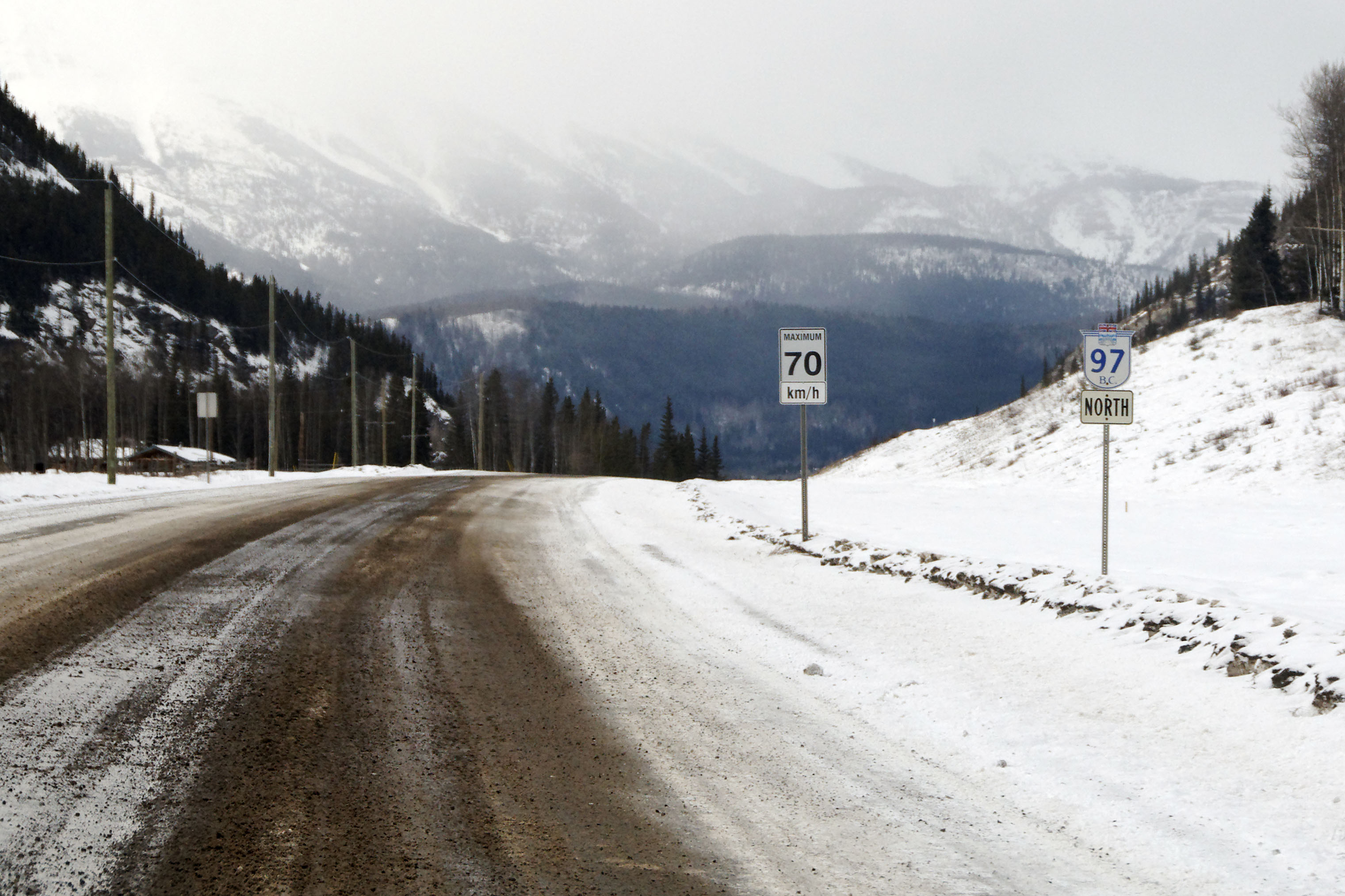
The first Yukon distance sign. The road will loop back into British Columbia once more – and that section is signed by Yukon too!

In fact, Yukon signs starting from the very first crossing. Except for this sign – this is clearly a British Columbia sign, in one of the short return loops. This is a very old sign, dating to before BC decided to let Yukon take over the signage in the loops. (Probably simpler to set one threshold, and write a check every so often.) It has the helpful “KM” reminder, dating it to the early 1970s when Canada first switched to metric. [Dan photo.]

The sign farm at Watson Lake. Thousands of visitors have all left a sign from their hometown. Some are home-made signs, others are … acquired …

Since we forgot to borrow a Capulin sign, we left the one thing we had with us.

Every Yukon route is not only color-coded, but has a corresponding pictorial designation. Those are stand-alone markers that are attached to the green signs. However, stand-alone reassurance or junction gantries are very uncommon. Nearly everything is signed with these guide signs.
The very last Liard River crossing. Here, we head back into the mountains. This photo is looking backwards because we are driving into the sunset.
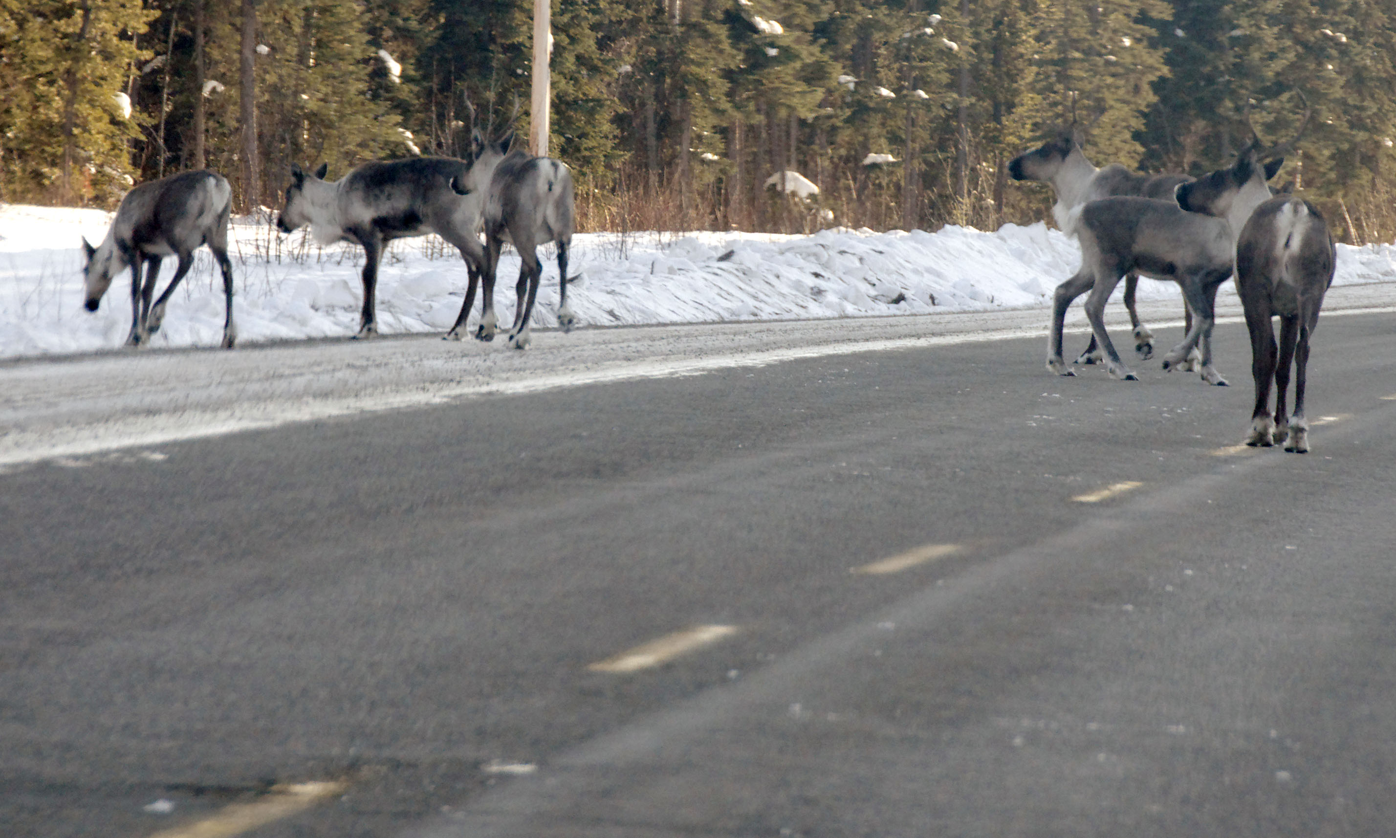
Our first caribou! We had to go all the way north of the 60 degree latitude line before we encountered them. [Dan photo.]

Poor route 37 does not get a pictogram. It’s only a couple miles long before it heads into British Columbia, heading all the way down to highway 16. We will take this road on our return trip.

Sunset, as we hit the mountains.
More mountains, more sunset.

We’re passing through the mountains, and this photo is taken towards the south.

I do not know what kind of tree this is, but the arctic is filled with them.
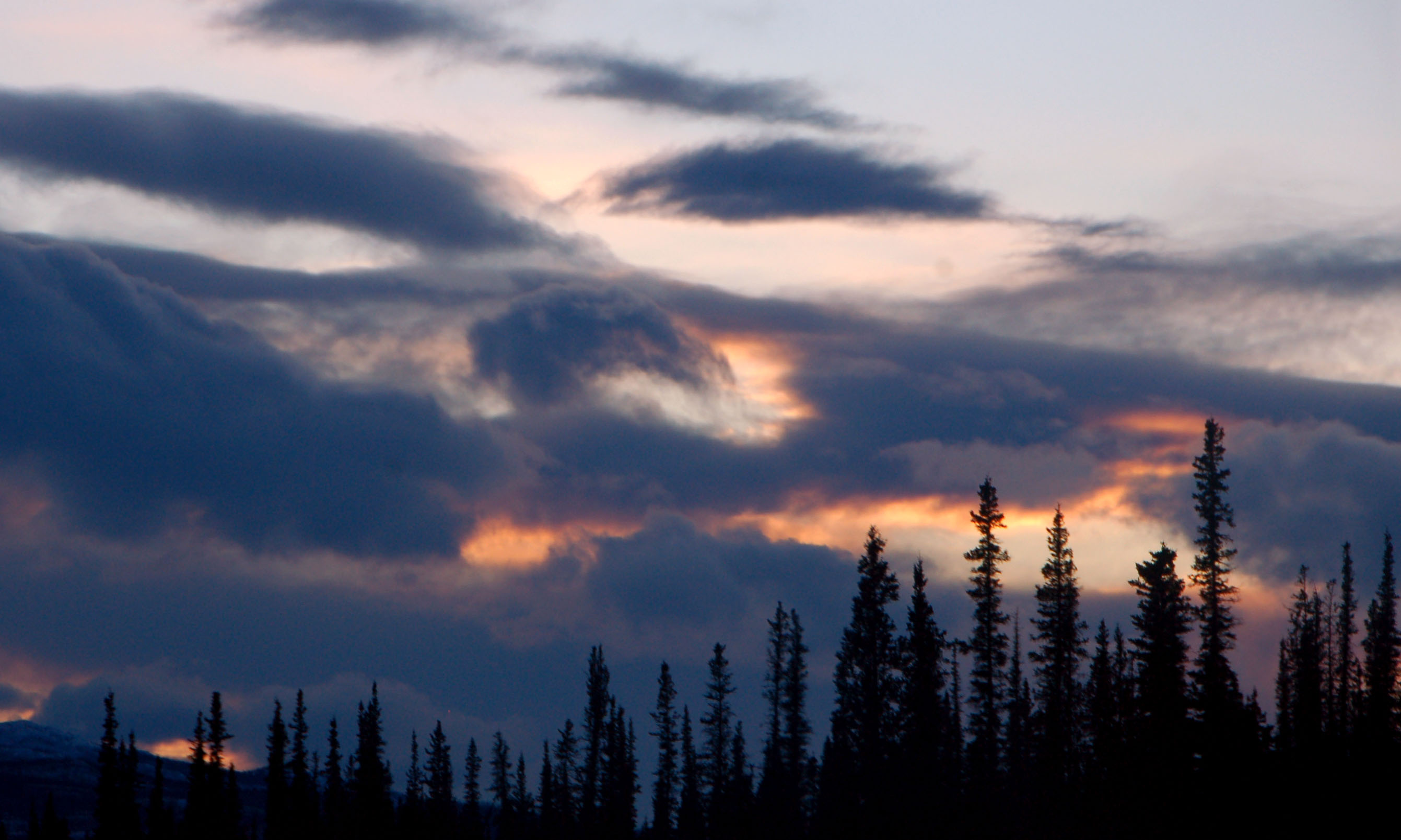
The jack-o-lantern cloud of the Yukon.
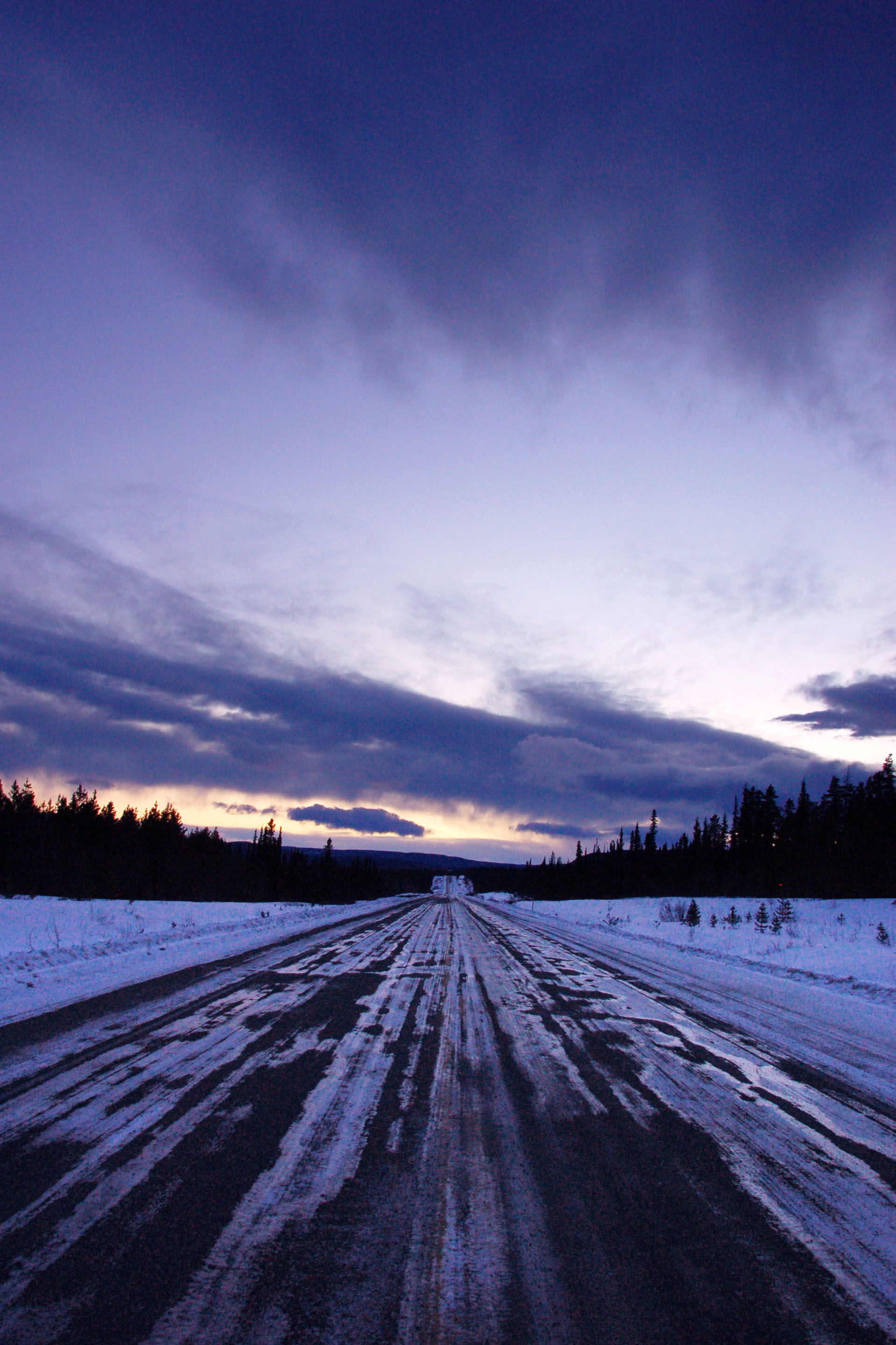
One from the middle of the highway.

Getting there. We started the day over 1400 kilometers away.
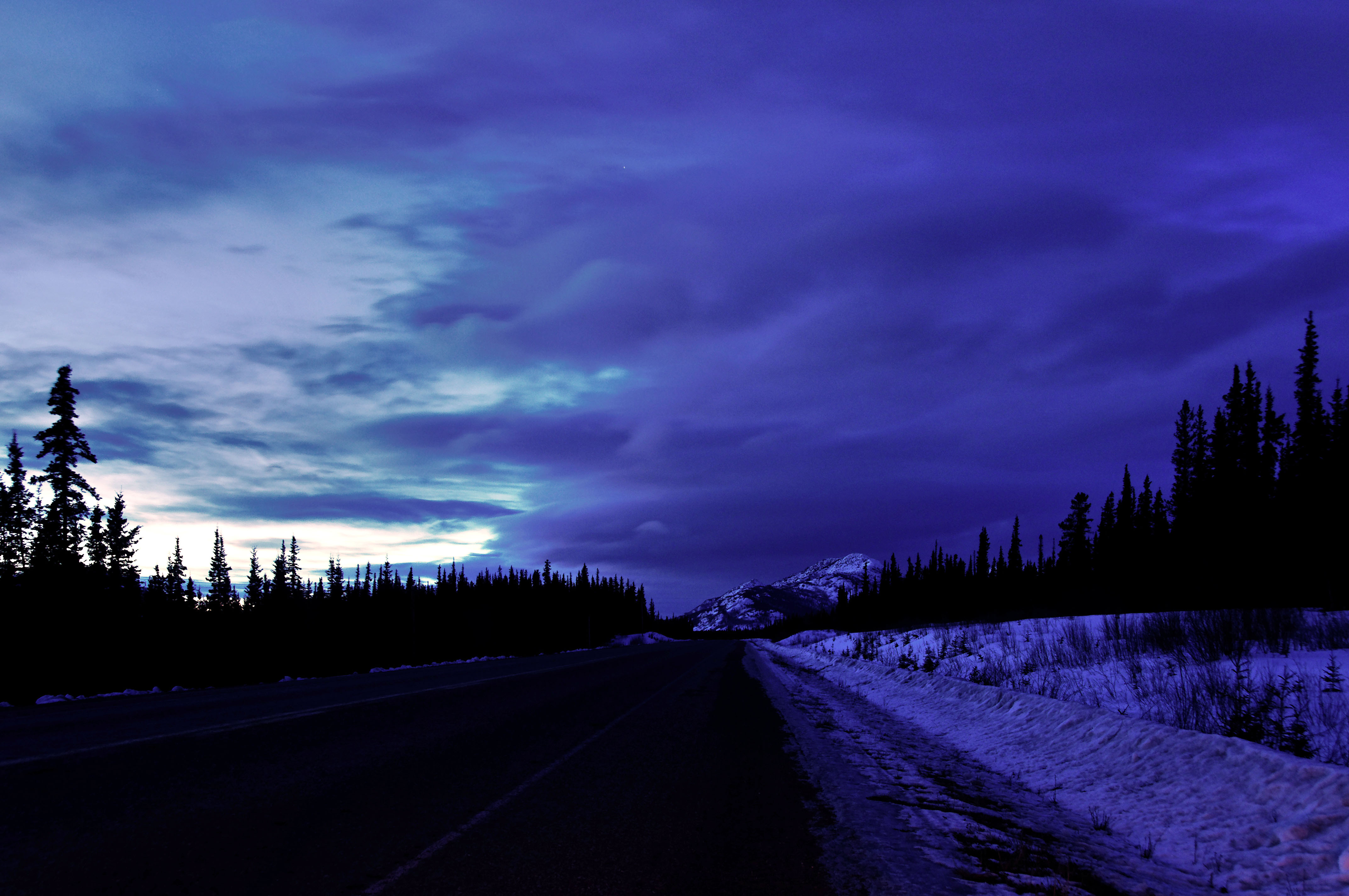
Dan provides the last photo of the dusk.
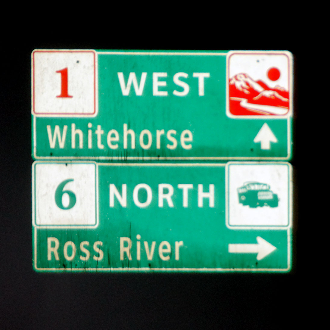
The symbol for route 6 is a mining truck. [Dan photo.]
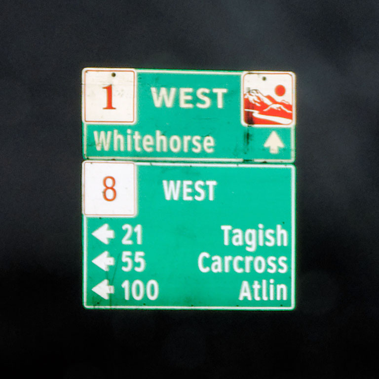
Route 8 does not get a symbol. It looks like both the 1 and 8 are in an older font. 8 is an old alignment of the Alaska Highway, but it is unpaved, so we did not chance it.

New control city! We are well more than halfway done with the Alaska Highway. [Dan photo.]

We are on the brief multiplex of routes 1 and 2. 2 is the Klondike Highway that heads north to Dawson City (not to be confused with Dawson Creek), and south to Skagway, Alaska. The gold panner symbol is because that was an important route during the gold rush of 1898. In fact, in Alaska, the Klondike Highway is route 98 – and there is no other numbered highway greater than 11. [Dan photo.]
The 1 and 2 multiplex is quite new – at one point, the southern 2 was numbered 5 – but the Alaska Highway and Klondike Highway used to be multiplexed for a much longer distance. The route went down 8 (then numbered 6), to Carcross, and up 5, rejoining the current road at what is now Carcross Junction, yielding a multiplex about three times as long as the current one.

Here is the turnoff to head north – featuring a black 2 and gold panner, and an orange 1 and mountain range.
We stopped not much after. Not because we needed sleep, mind you – just because we didn’t feel like crashing the Alaska border at 3am. That’ll be in the next post!
More great shots! I like the photos of the bridges best.
“The Milepost” travel guide says that Yukon 8 (Tagish Road) is paved now. Any idea when it was paved?
I do not have any idea. I think our map showed it as unpaved. Had we known it was paved, we’d have taken that, and highway 2, as opposed to backtracking along 1 when returning from Alaska.
Been catching up on the Alaska posts the last hour. Loving the write-ups and photos as always. How many two-digit routes are there in Yukon besides 37?
Any more shots of the sign farm at Watson Lake? I viewed it at full size and enjoyed seeing where some of the donations emanated.
According to Wikipedia, 10, 11, 14, and 15 also exist. But the only one we crossed was 37.
I’ll have more Sign Farm photos on Day 6.