
The sixth day of the Alaska Highway trip, where we see the Alaska Highway for the last time, and head down the Cassiar Highway – route 37 in Yukon and British Columbia. We make a brief stop in Hyder, Alaska, just to say that we’ve been there, and then head east on the Yellowhead Highway and attempt to cross into Alberta. However, we’re nearly eaten alive by that snowstorm that’s been stalking us since Day 3 – this will be a recurring theme of our days six and seven!
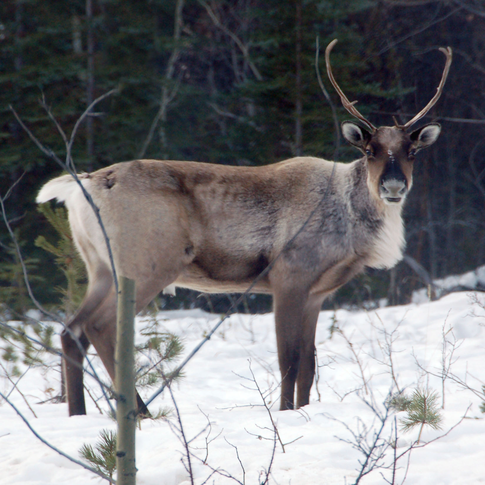
A caribou, just south of the British Columbia border.
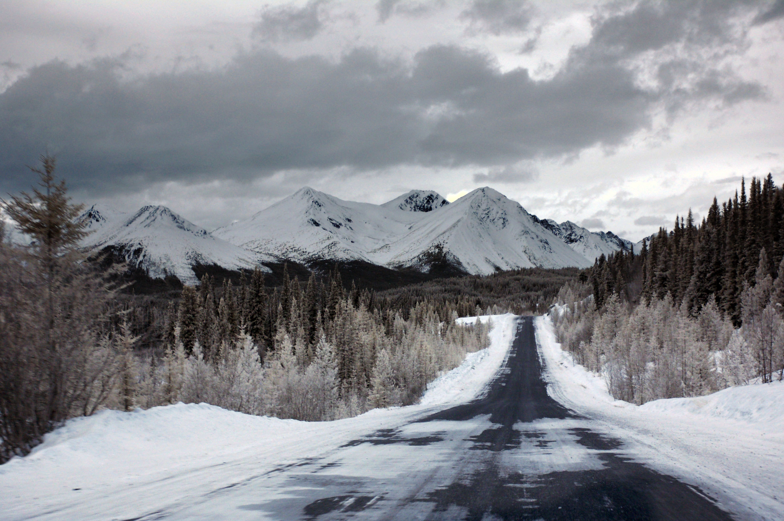
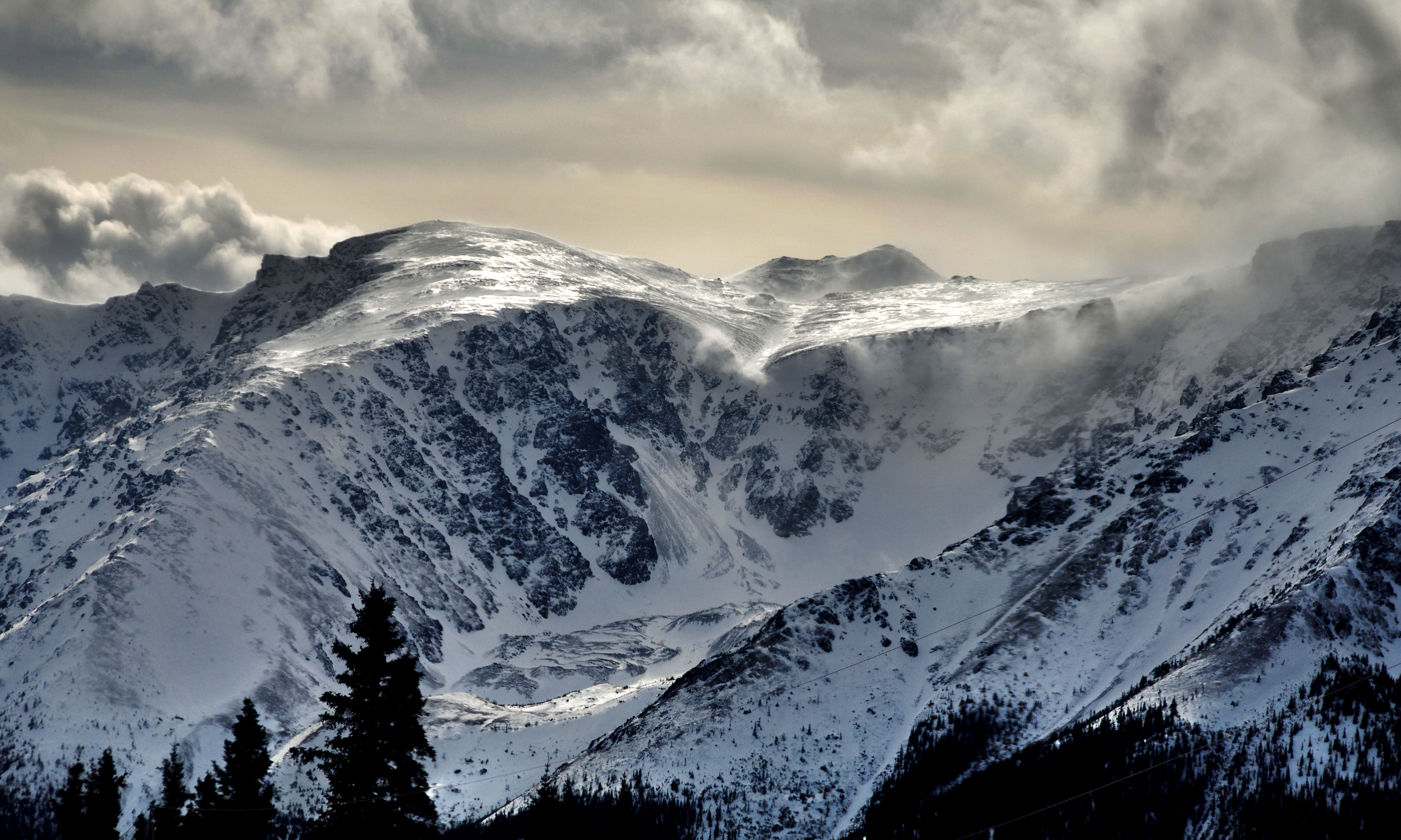
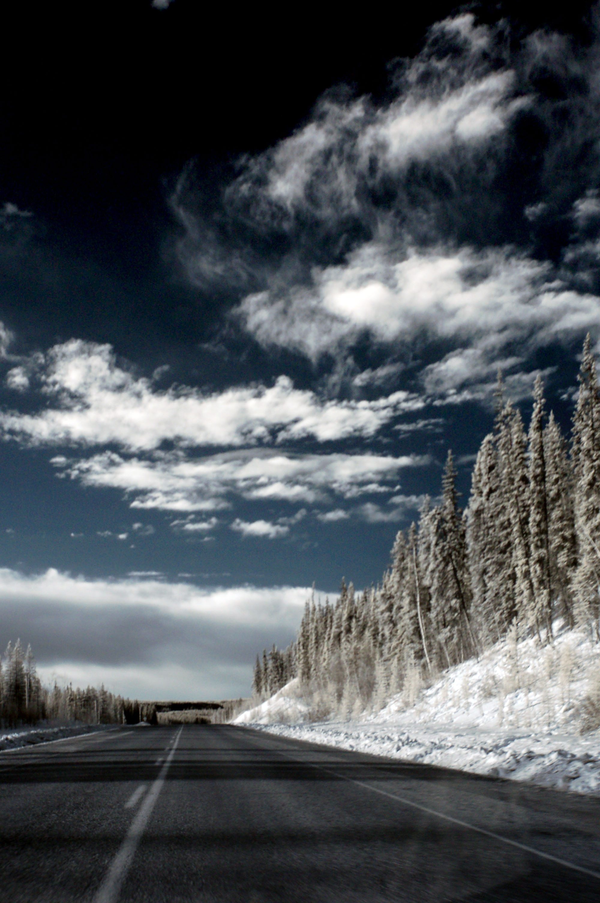
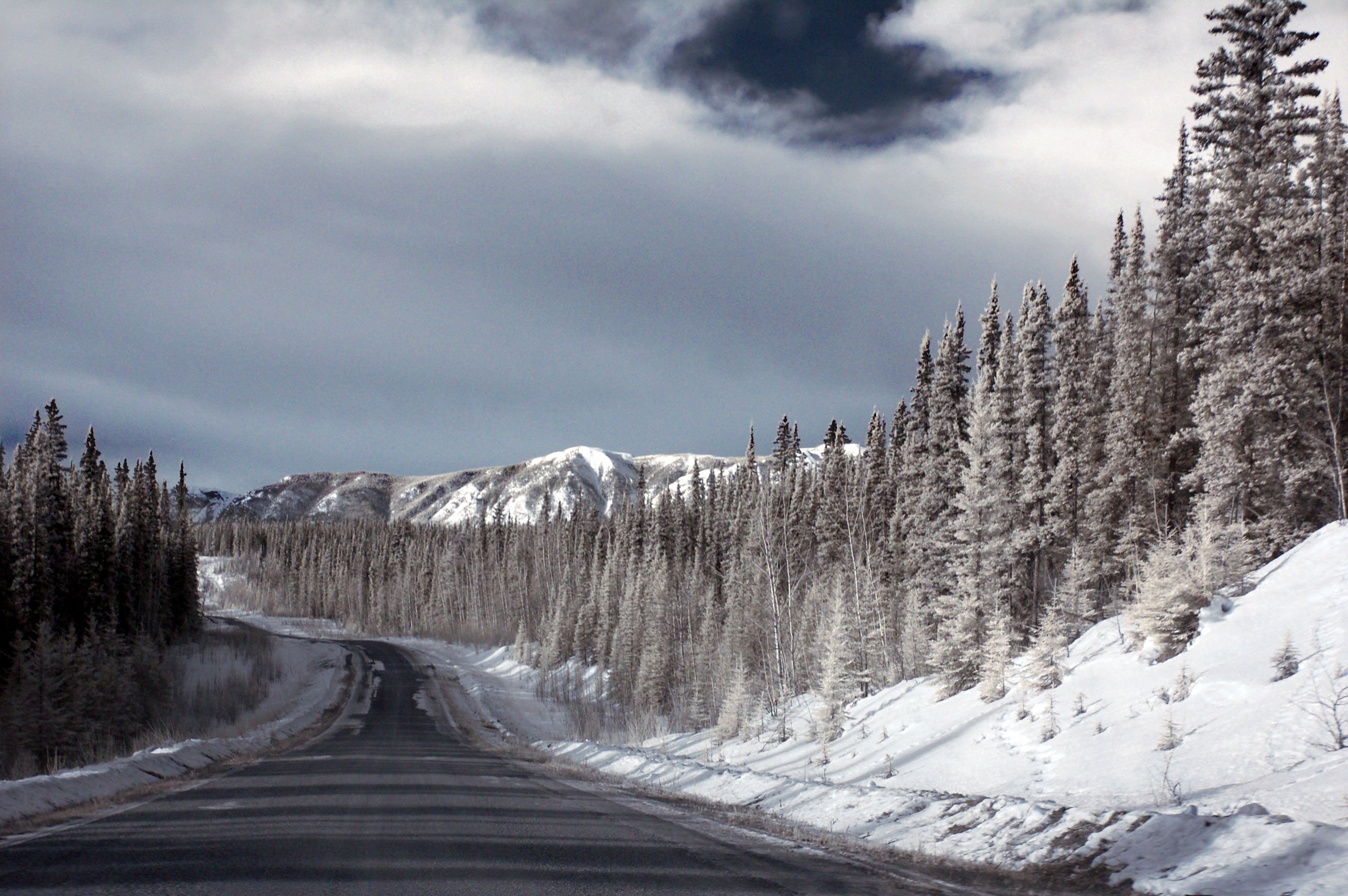
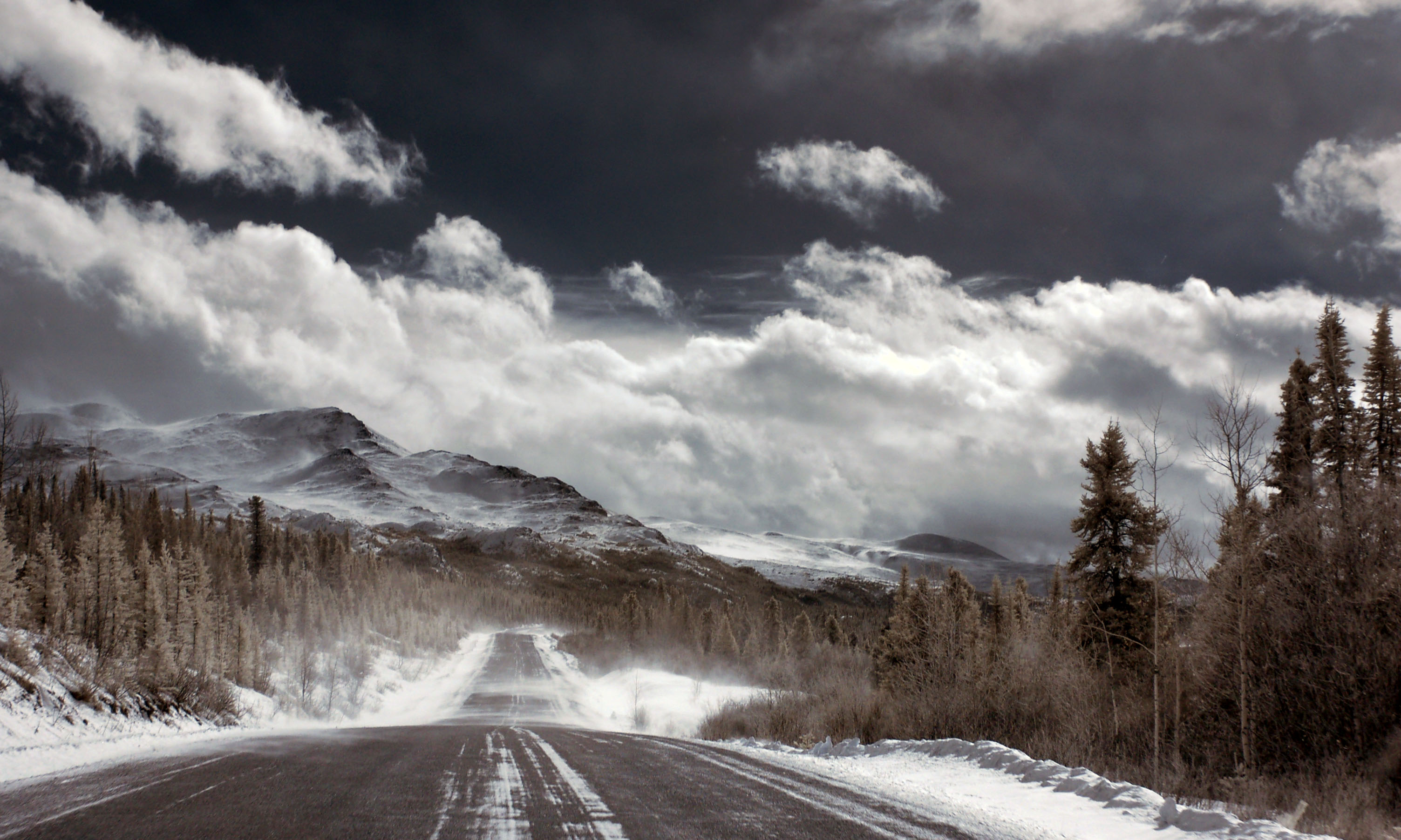
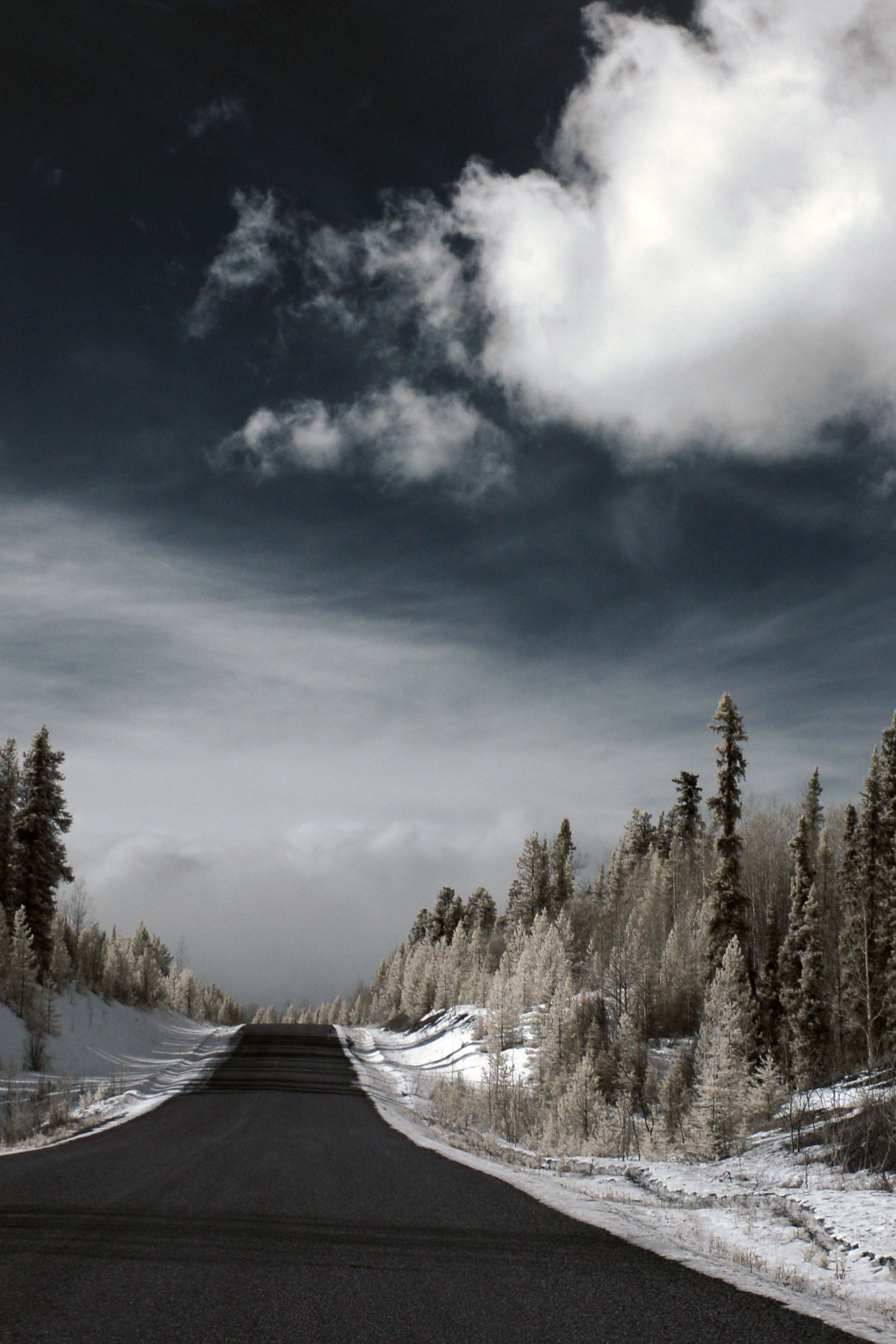
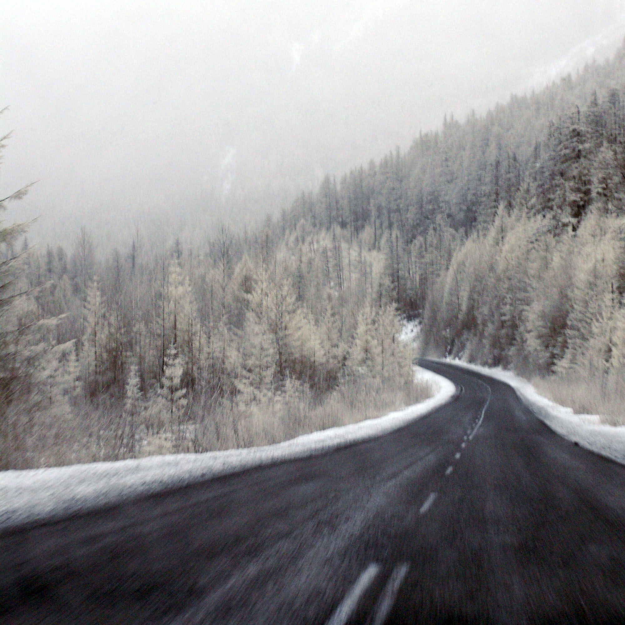
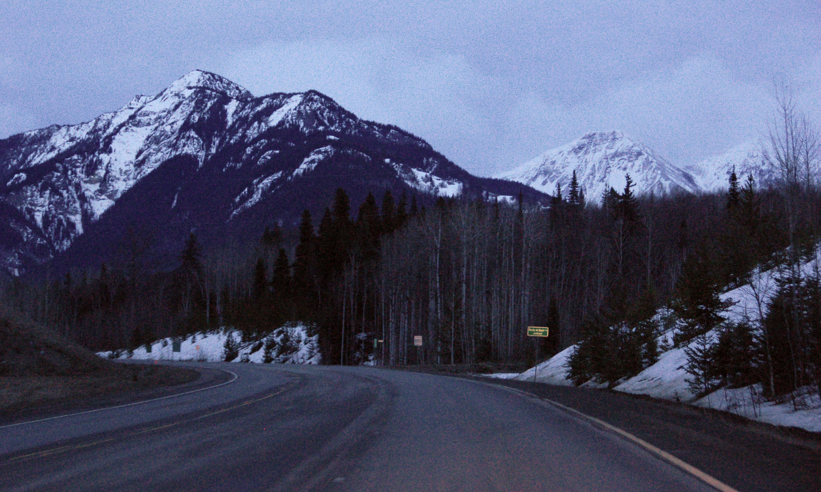
Winter scene on the Cassiar Highway. We will be seeing a lot of this!
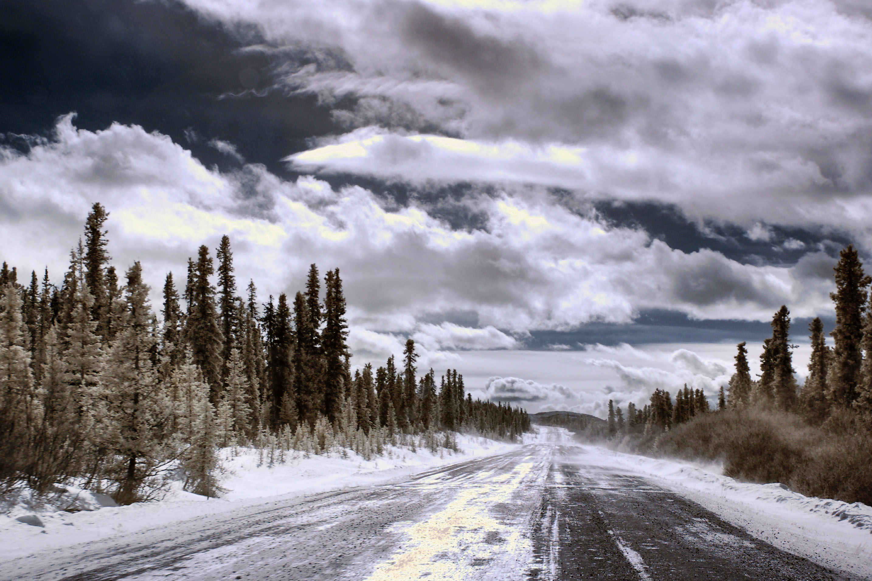
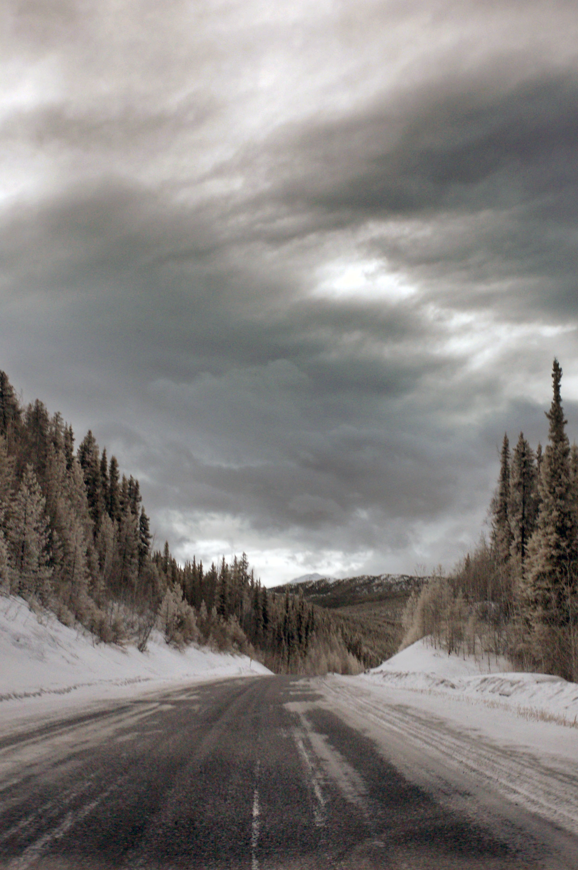
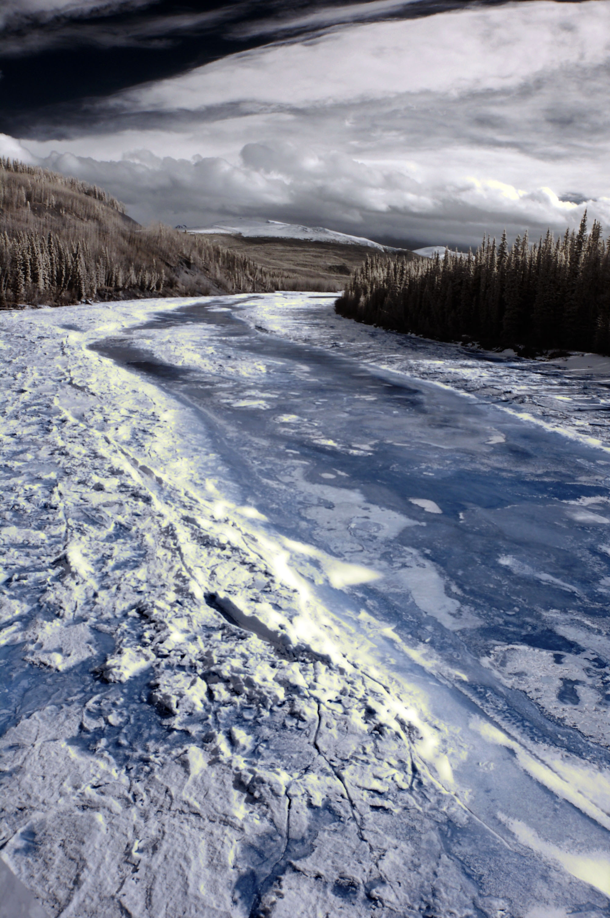
The clouds clear up for a bit – but we’re still heading south, so infrared is the rule on the day.
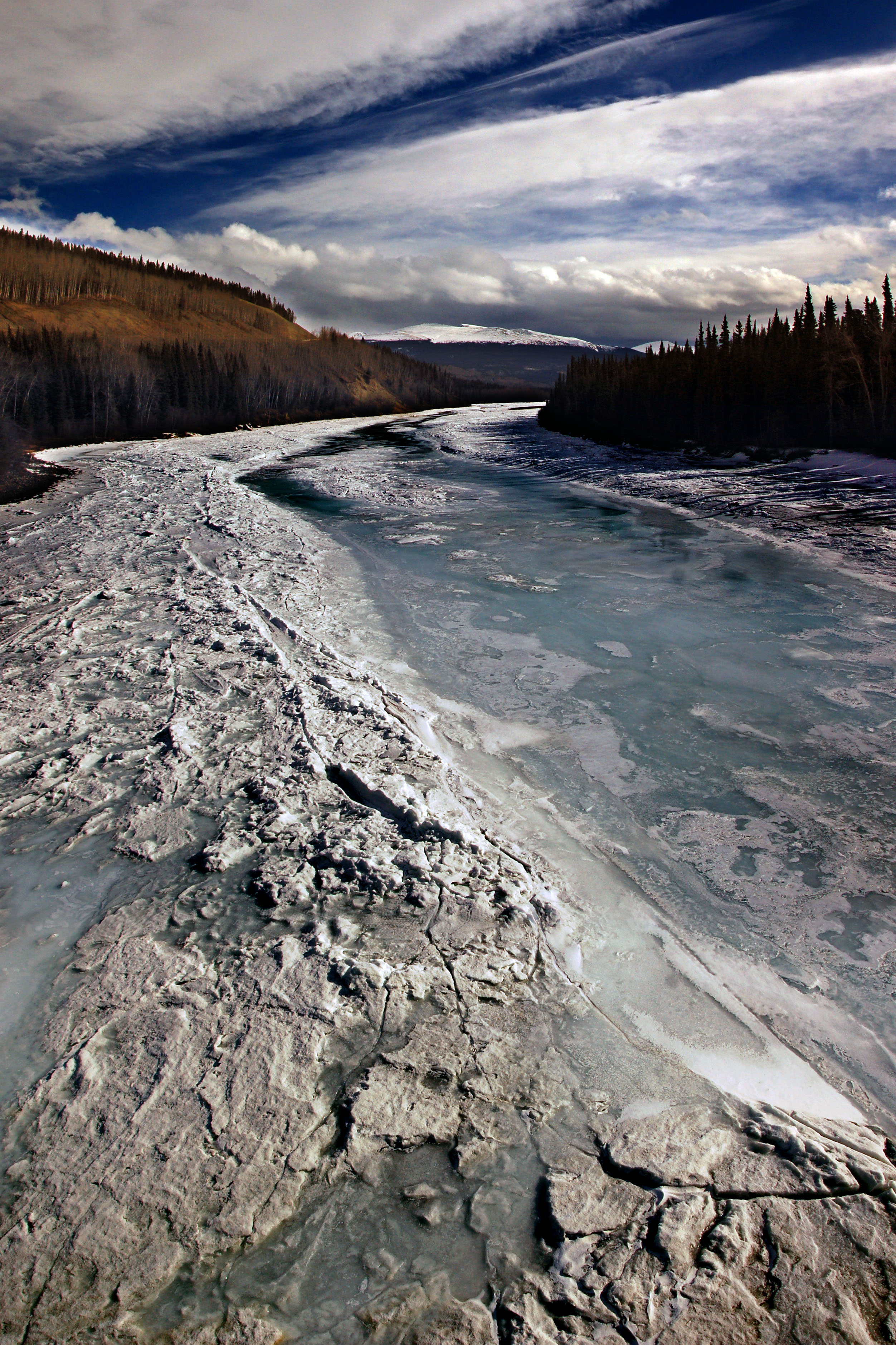
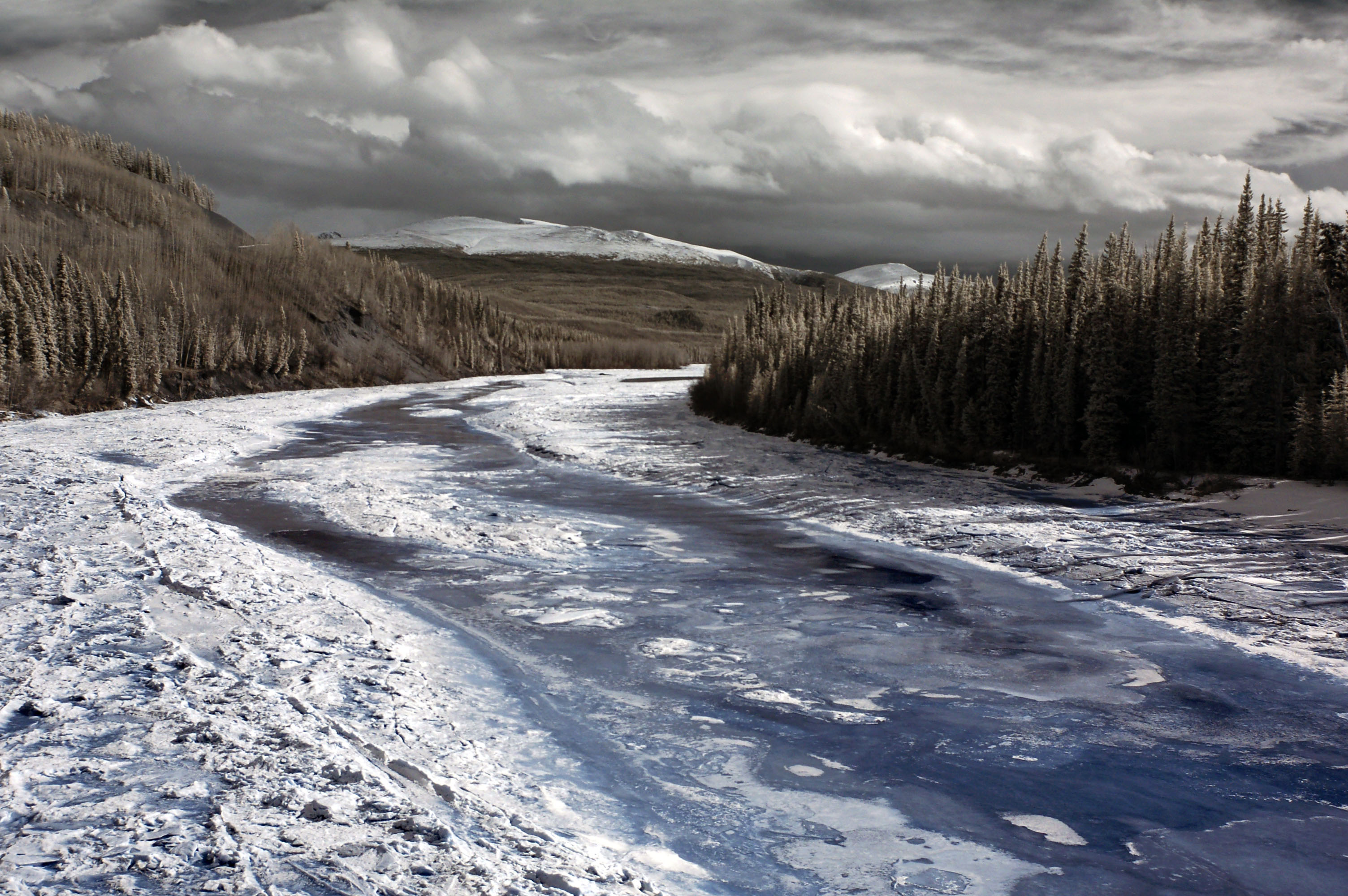
The Stikine River. The Cassiar Highway crosses it, on one of its few, very brief dirt sections. Not only is this section dirt, but there are 13% grades on either side of the river!
Ominous yellow clouds in the distance. Yep, we’re going to get hit with snow.
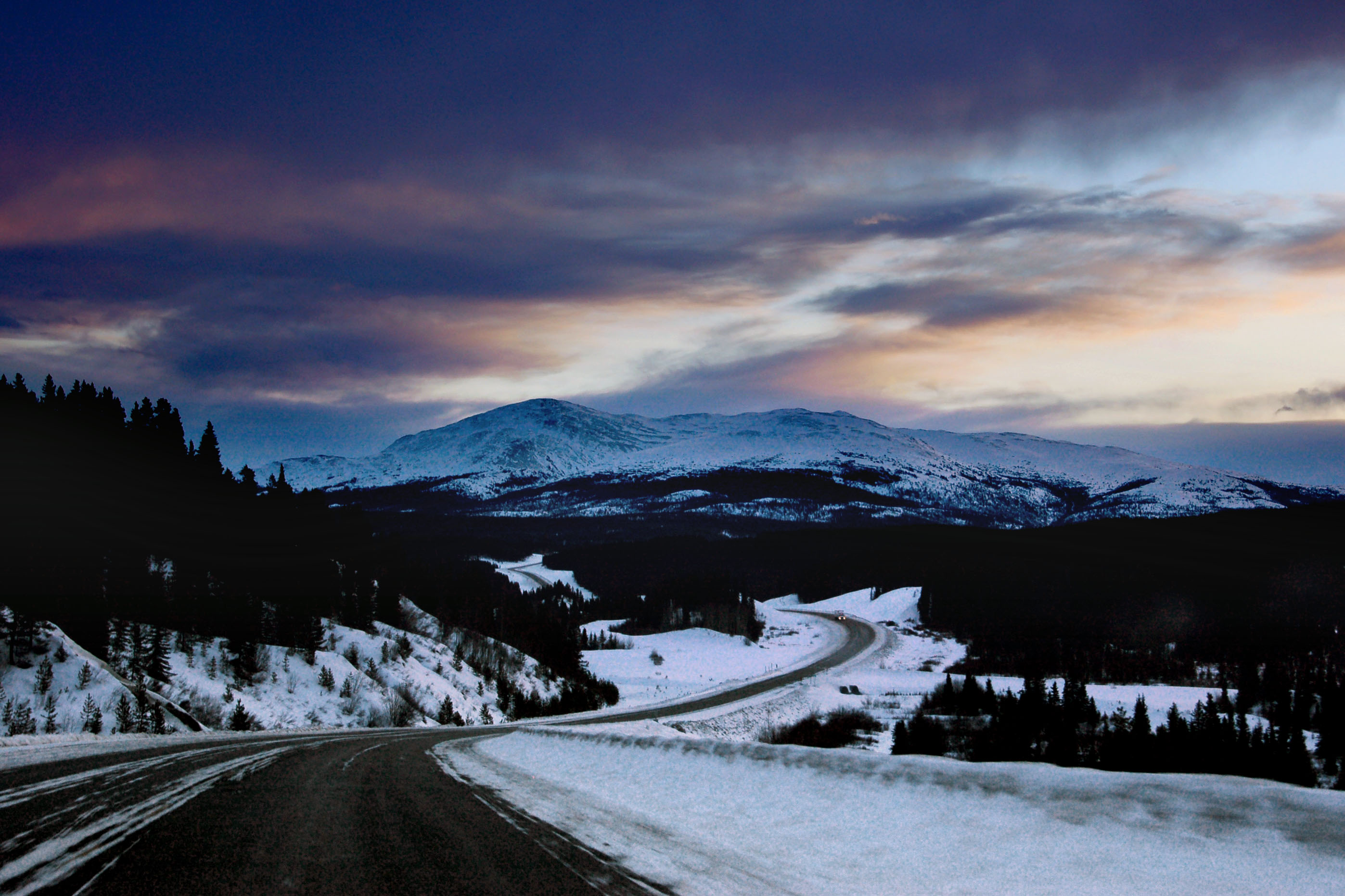
The south end of the Cassiar Highway, which we reached just around dusk.
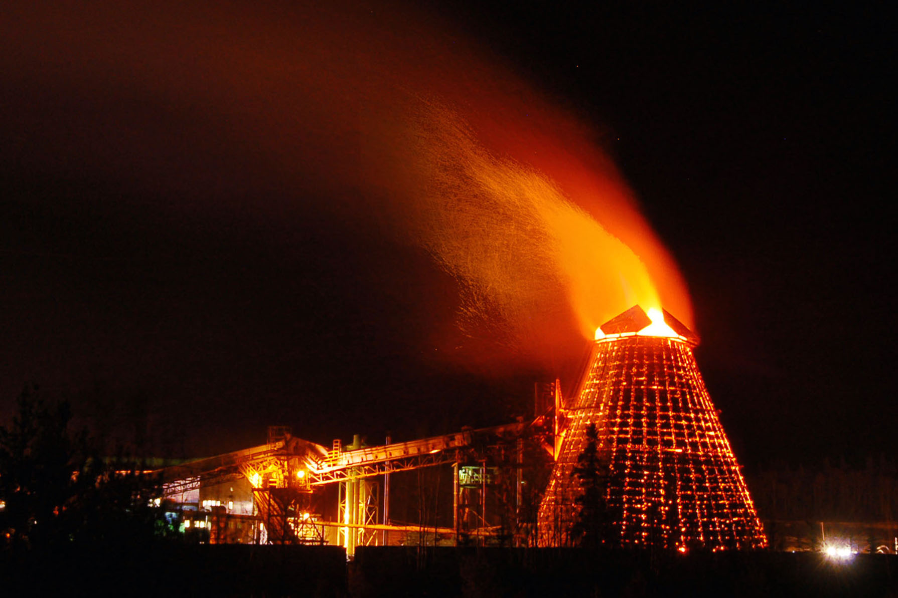
This is a blower. It makes an ominous noise and spits out a lot of flames. If anyone can tell us what it is, we’d be grateful!
Heading east at dawn. We’re almost at Watson Lake, Yukon, having driven quite a ways through the night.
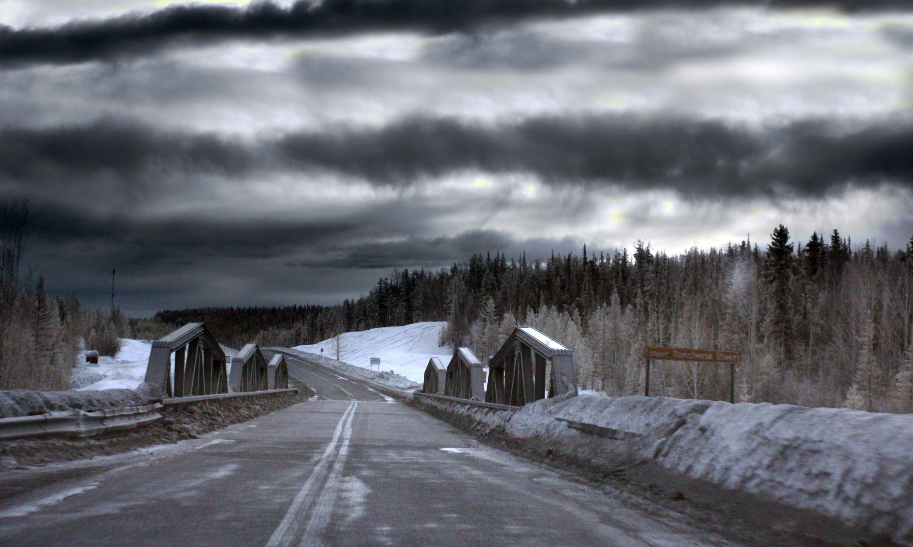
The bridge over the Little Rancheria River.
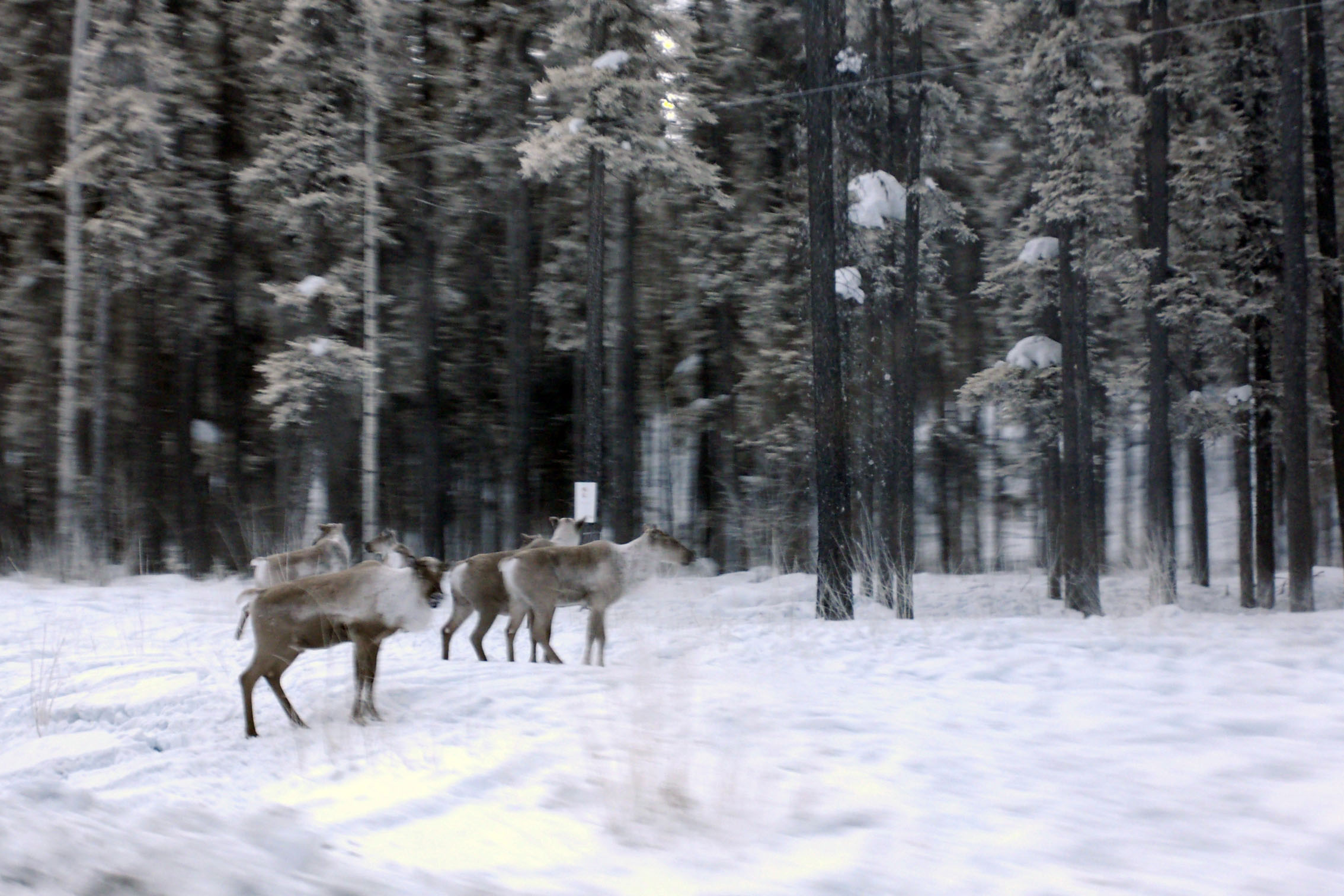
An age-old question answered: no, caribou are not transparent in infrared. In fact, they look much the same as they do in visible light.
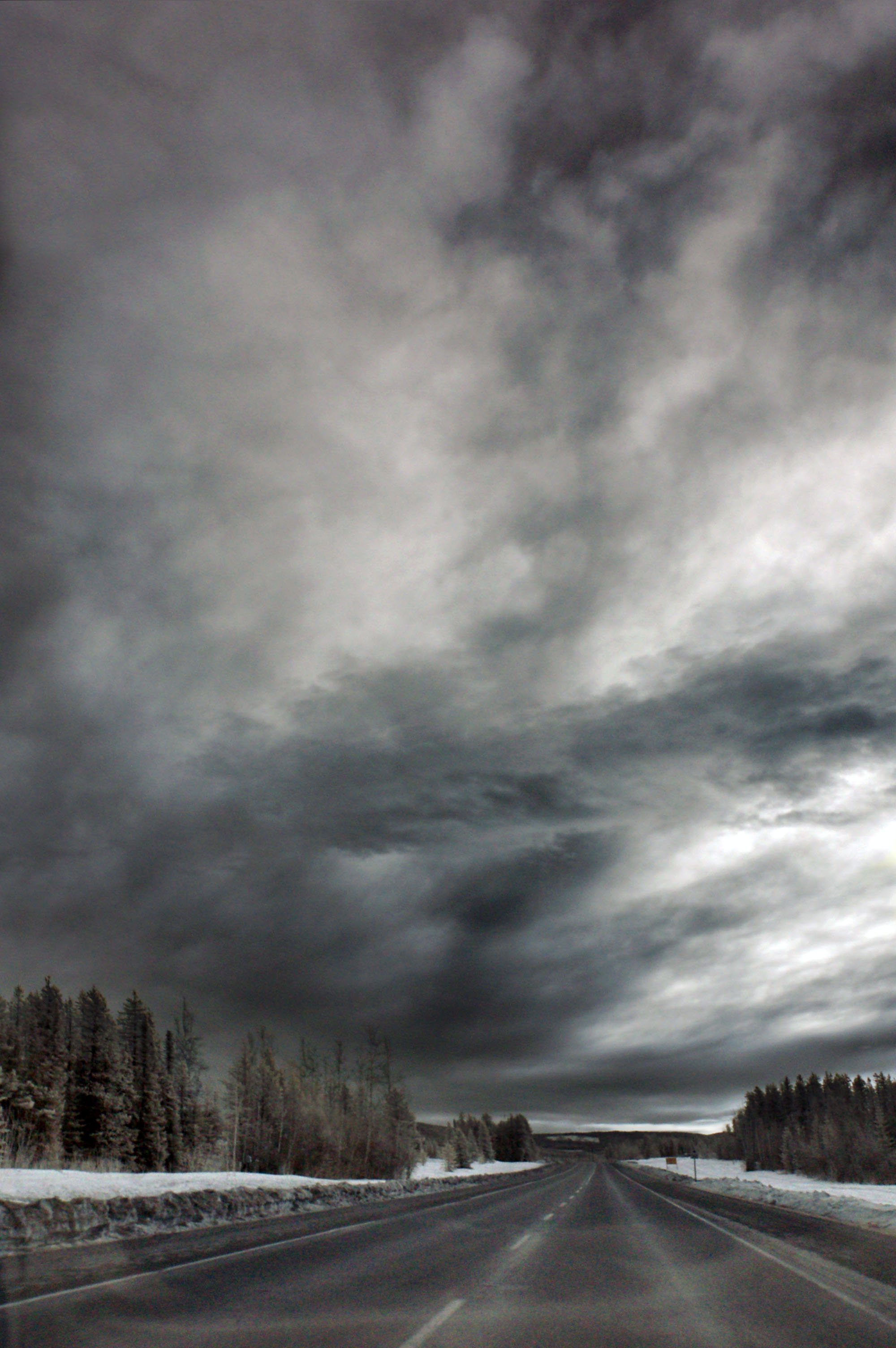
Infrared clouds.
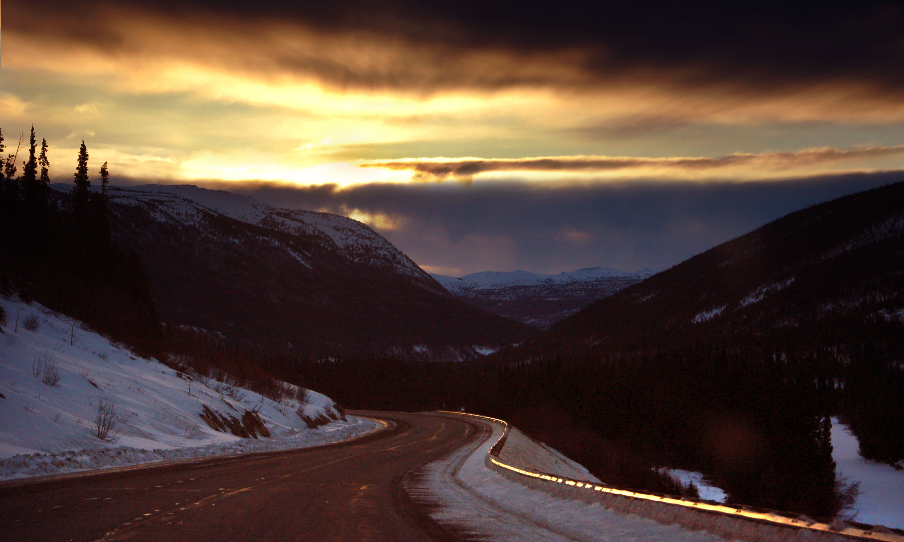
Glowing guardrail in the sunrise.
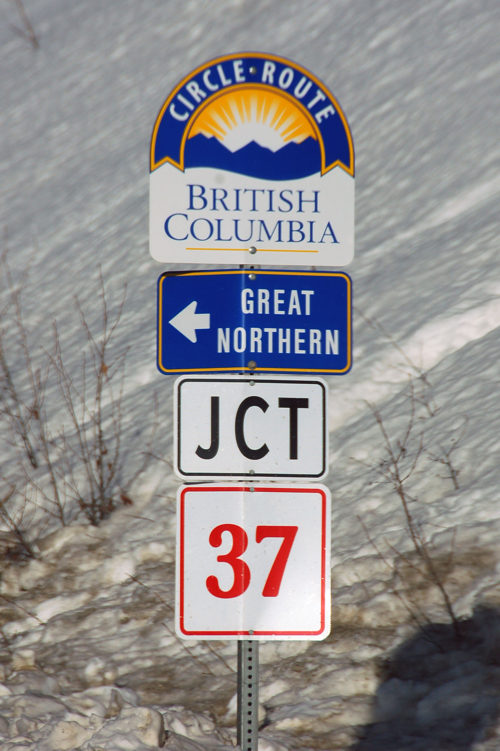
Even though we’re in Yukon, we get a British Columbia trail signed. Also, the only junction marker in Yukon. (There isn’t one in the opposite direction.)
Doubling back from Watson Lake to the entrance of the 37. We needed gas, thus the detour – and thus, the westbound photo in morning light.
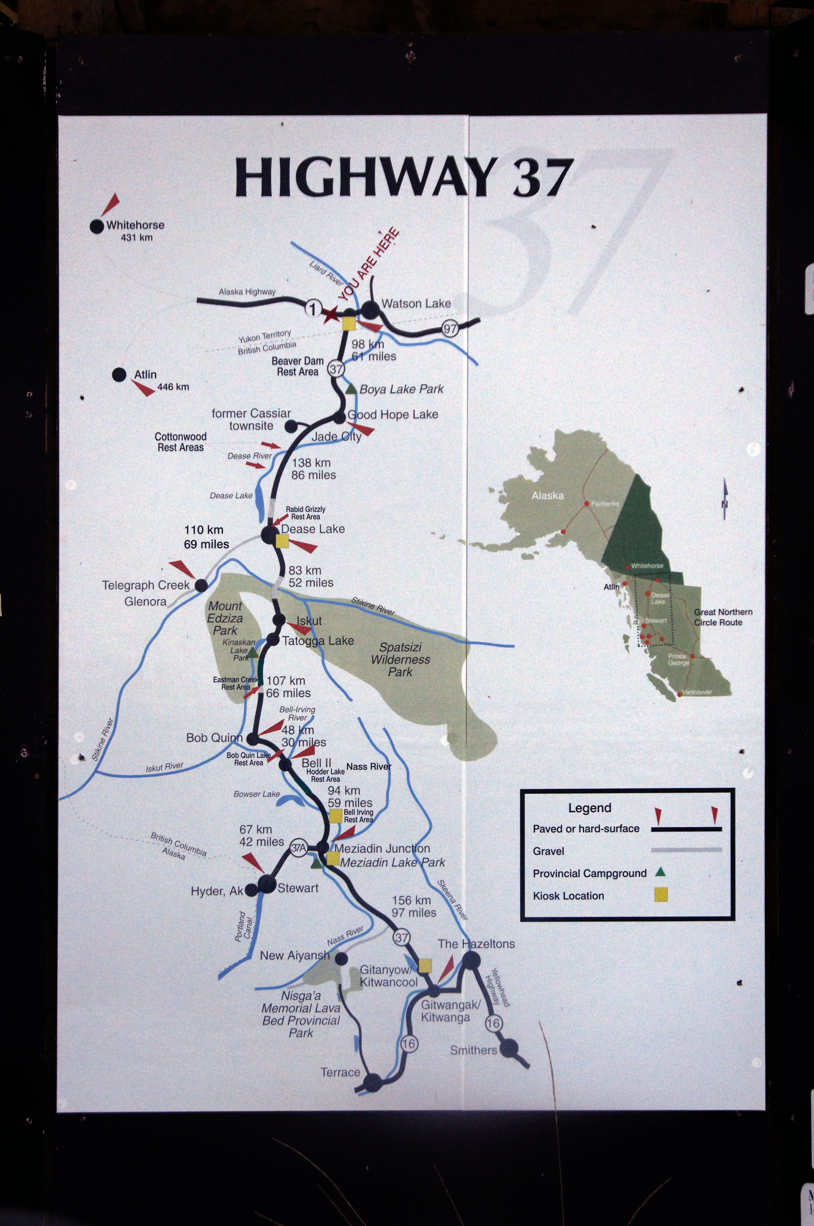
The Cassiar Highway begins here, and is 720 kilometers to its southern end. Click to see details. Note “Rabid Grizzly Rest Area” – just the sort of thing we need to run into when trying to rest! [Dan photo.]
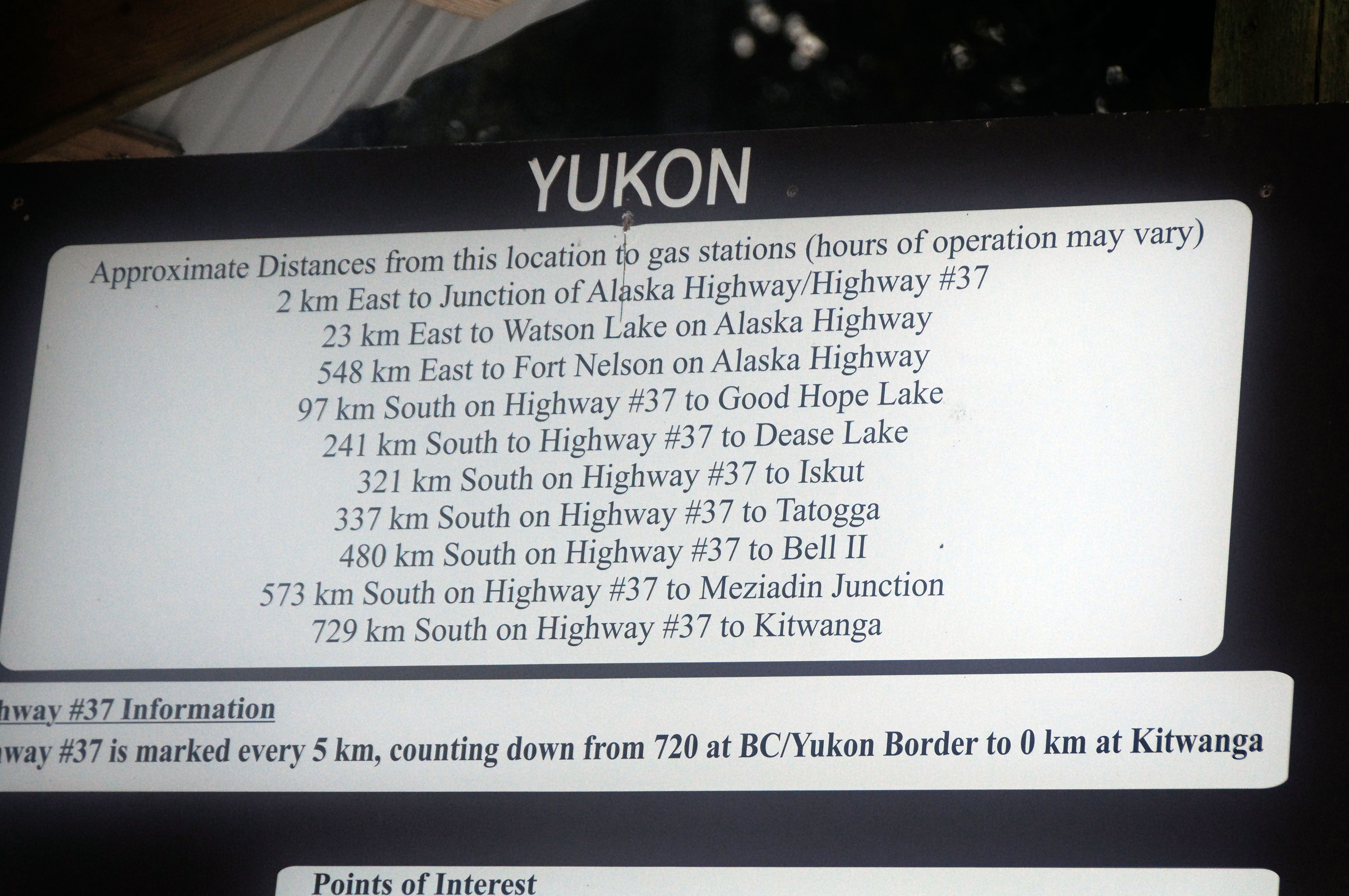
Here, “hours of operation” may mean that it opens in May! As far as we can tell, the gas stations at Junction Alaska Highway and 37, and Meziadin Junction are not in operation – and some others may not be either. We stopped in Watson Lake, Dease Lake, and Bell II. [Dan photo.]
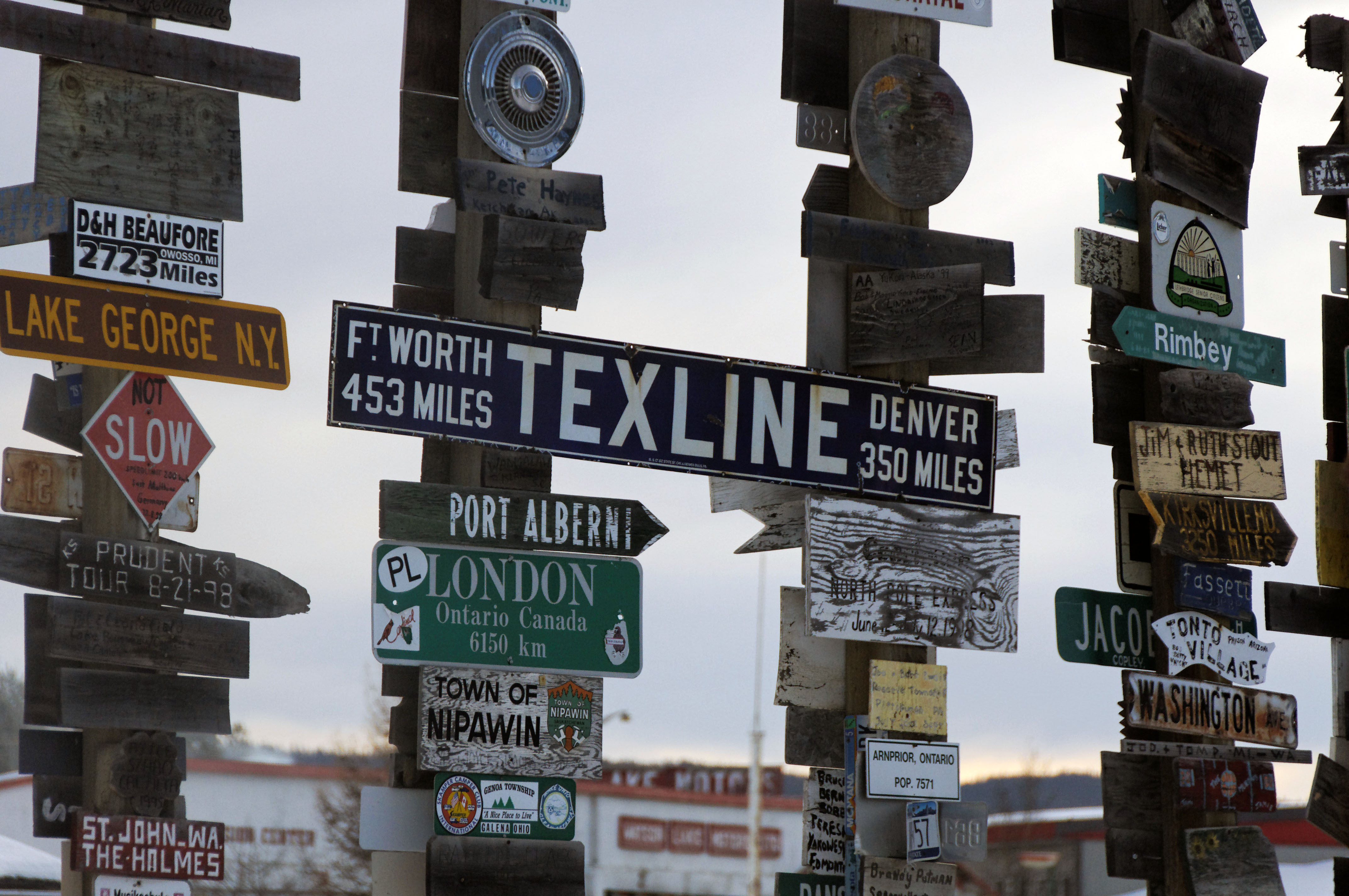
The sign farm in Watson Lake. The Texline sign is very old, and was posted on either US-287, or the road that preceded it between Denver and Fort Worth – the Canada to Gulf Highway. [Dan photo.]
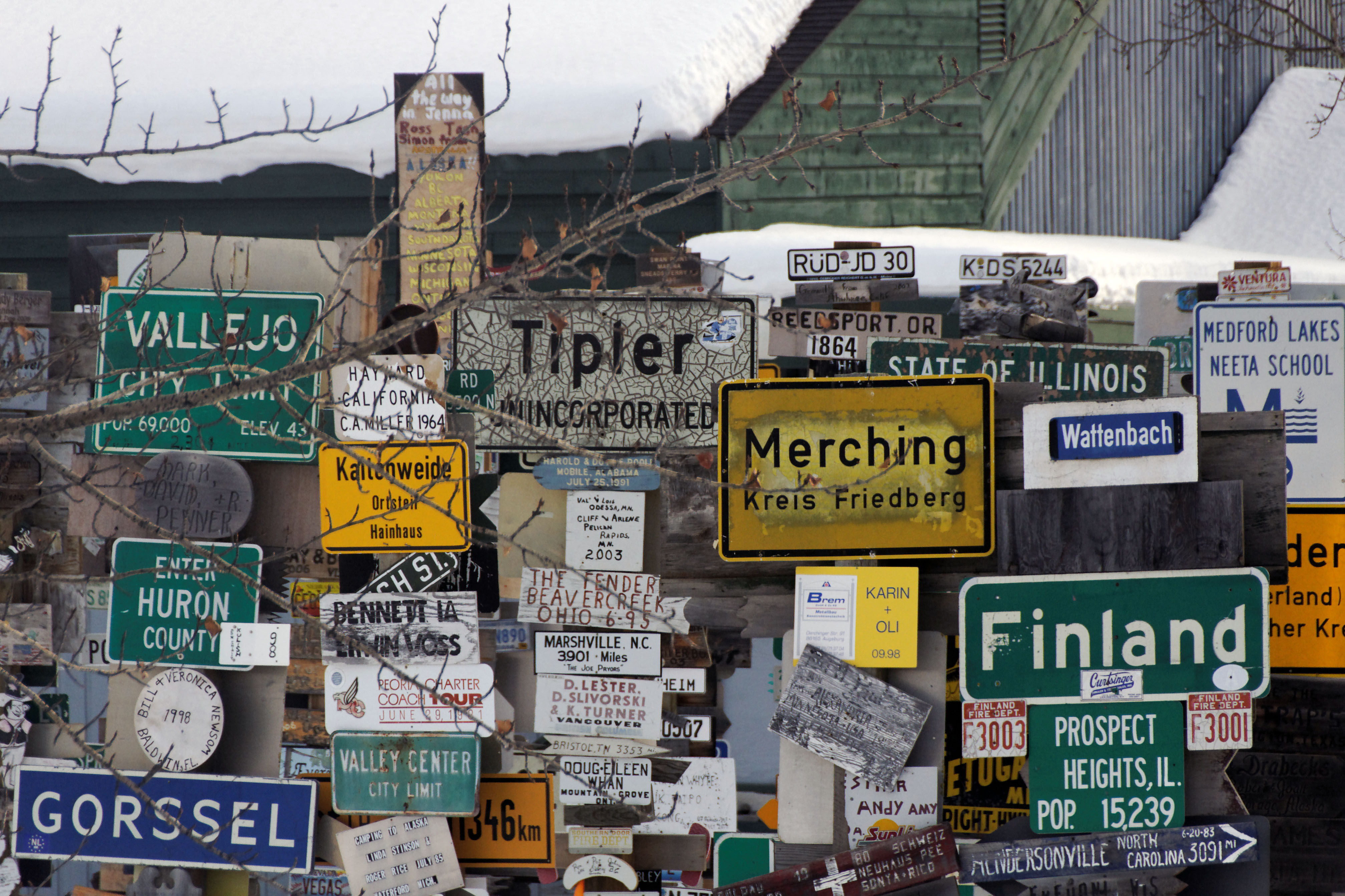
More signs, ranging from a white Tipler town boundary sign to a sign for Finland (not from the country of Finland) to a yellow sign (from the country of Germany) to the hand-painted Hendersonville, North Carolina sign at lower left, with accurate mileage (and plausible direction) from Watson Lake. [Dan photo.]
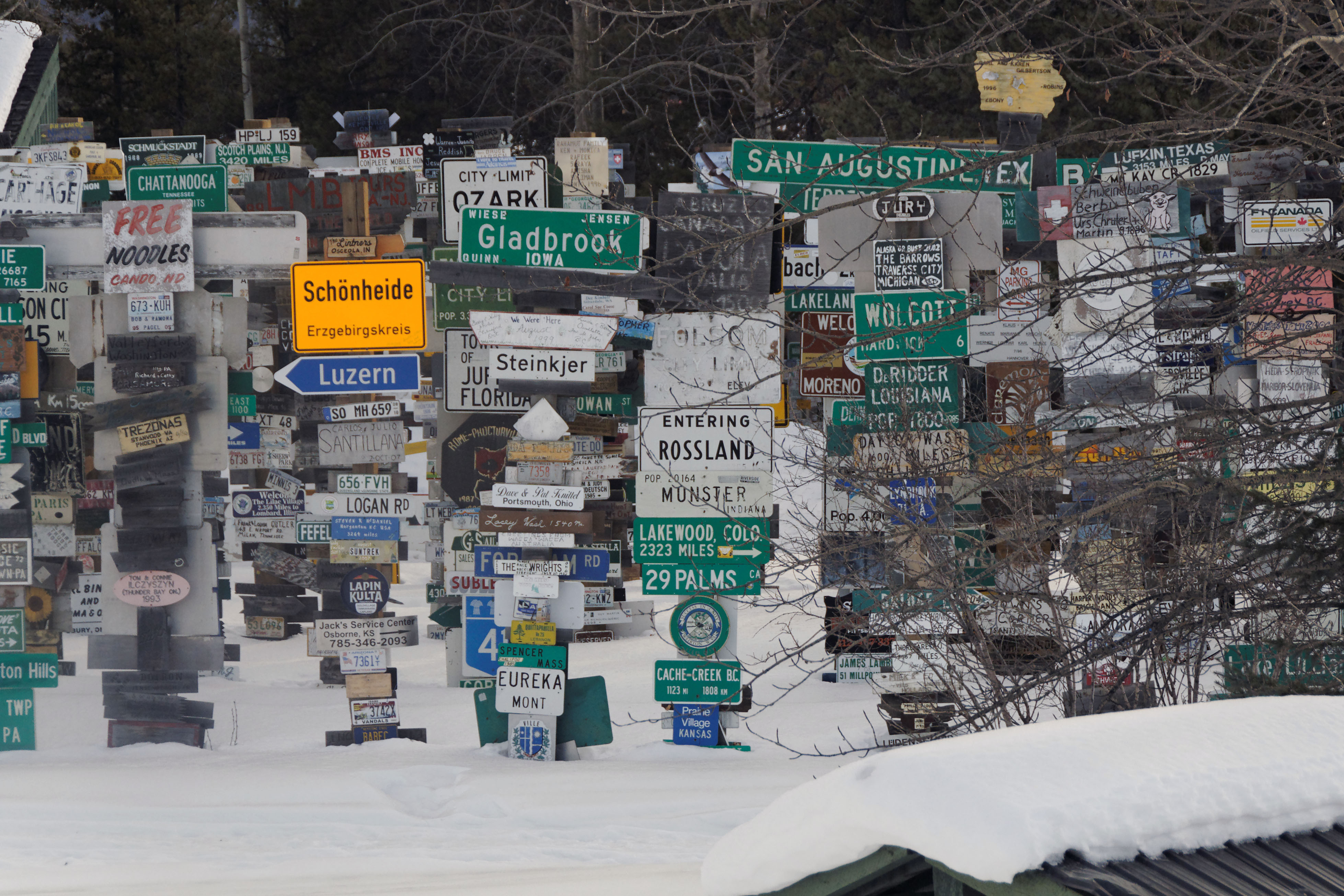
Rossland is in British Columbia. Ozark is in Missouri. The Folsom sign was, remarkably, green once upon a time, and is from California.
Heading south on the Cassiar Highway.
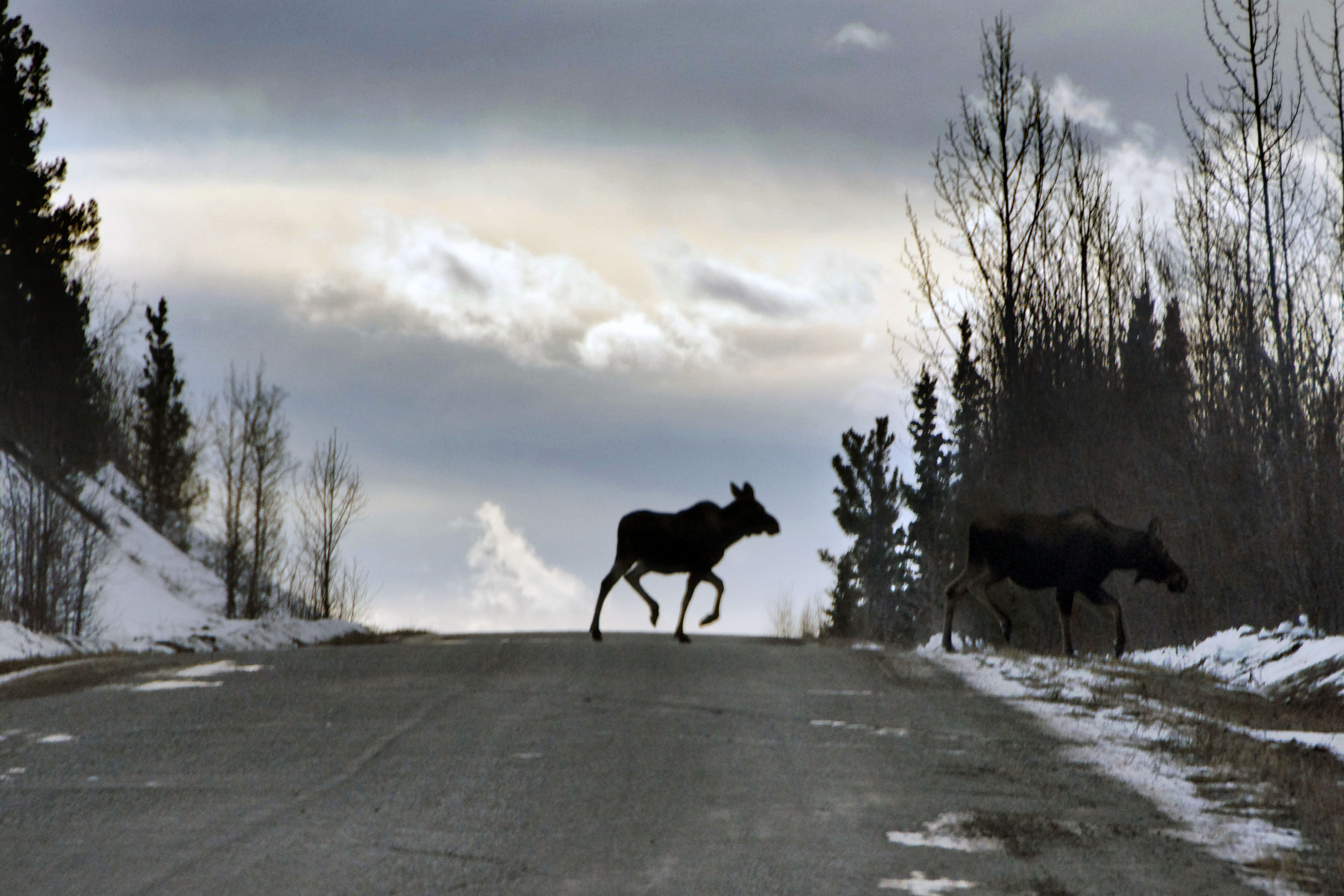
Dan gets a photo of some moose crossing right in front of us.
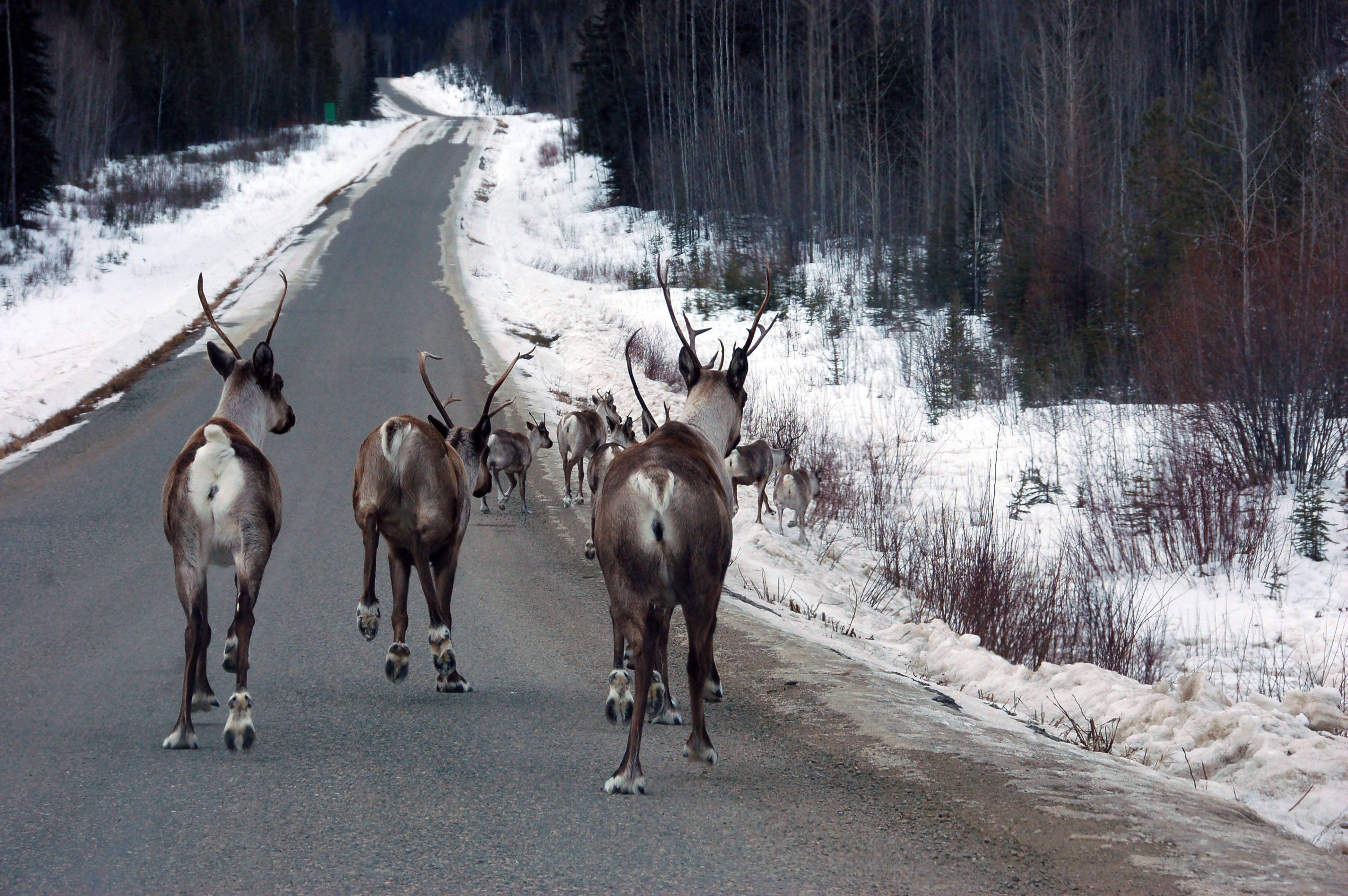
This is what happens when caribou run directly away from our car before figuring out that if they head to the side, we’ll all continue without further incident.
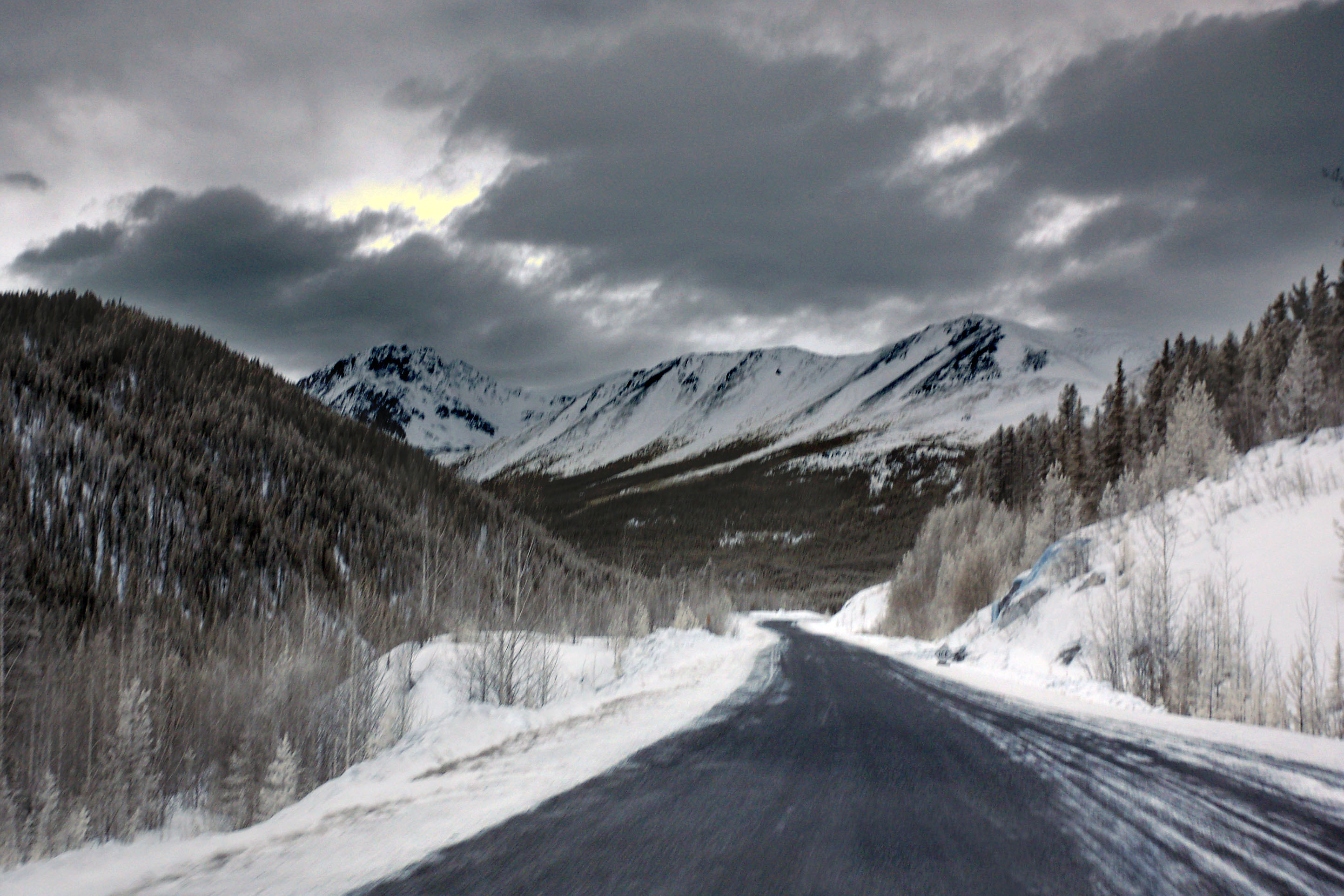
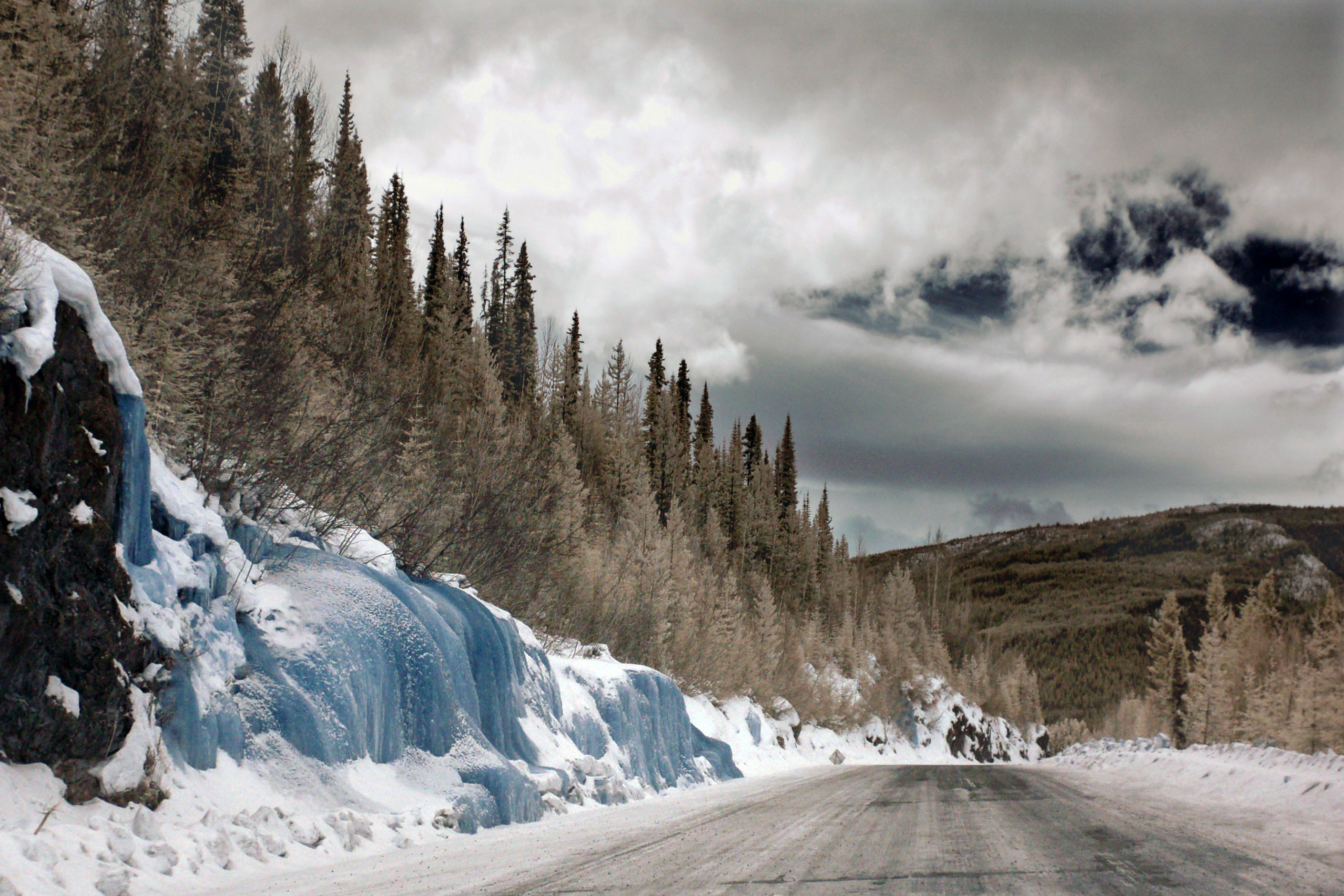
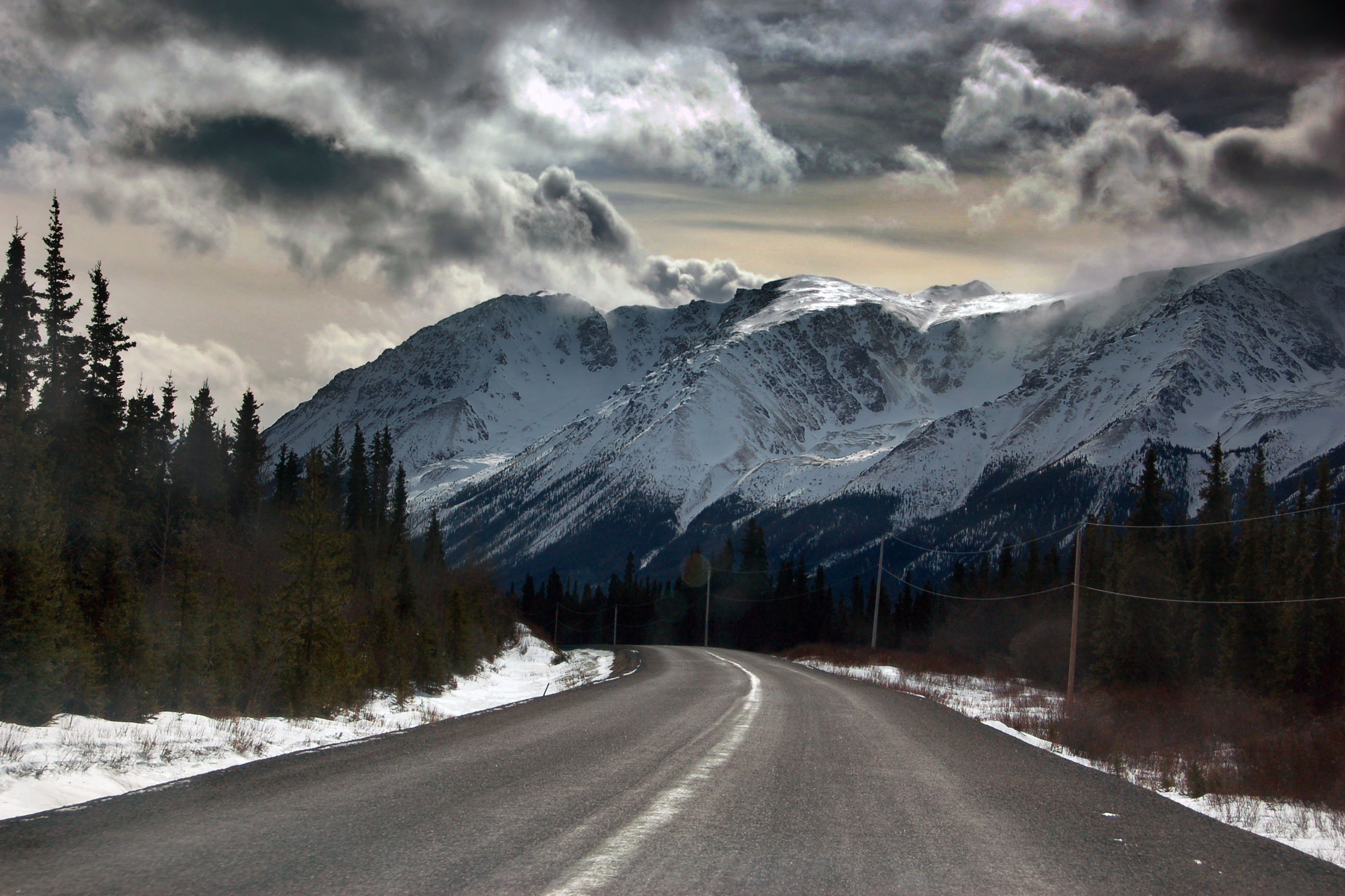
Approaching the first mountain pass on the Cassiar Highway. The blue spot on the rocks to the right is a frozen waterfall. Ice shows up as blue in infrared.
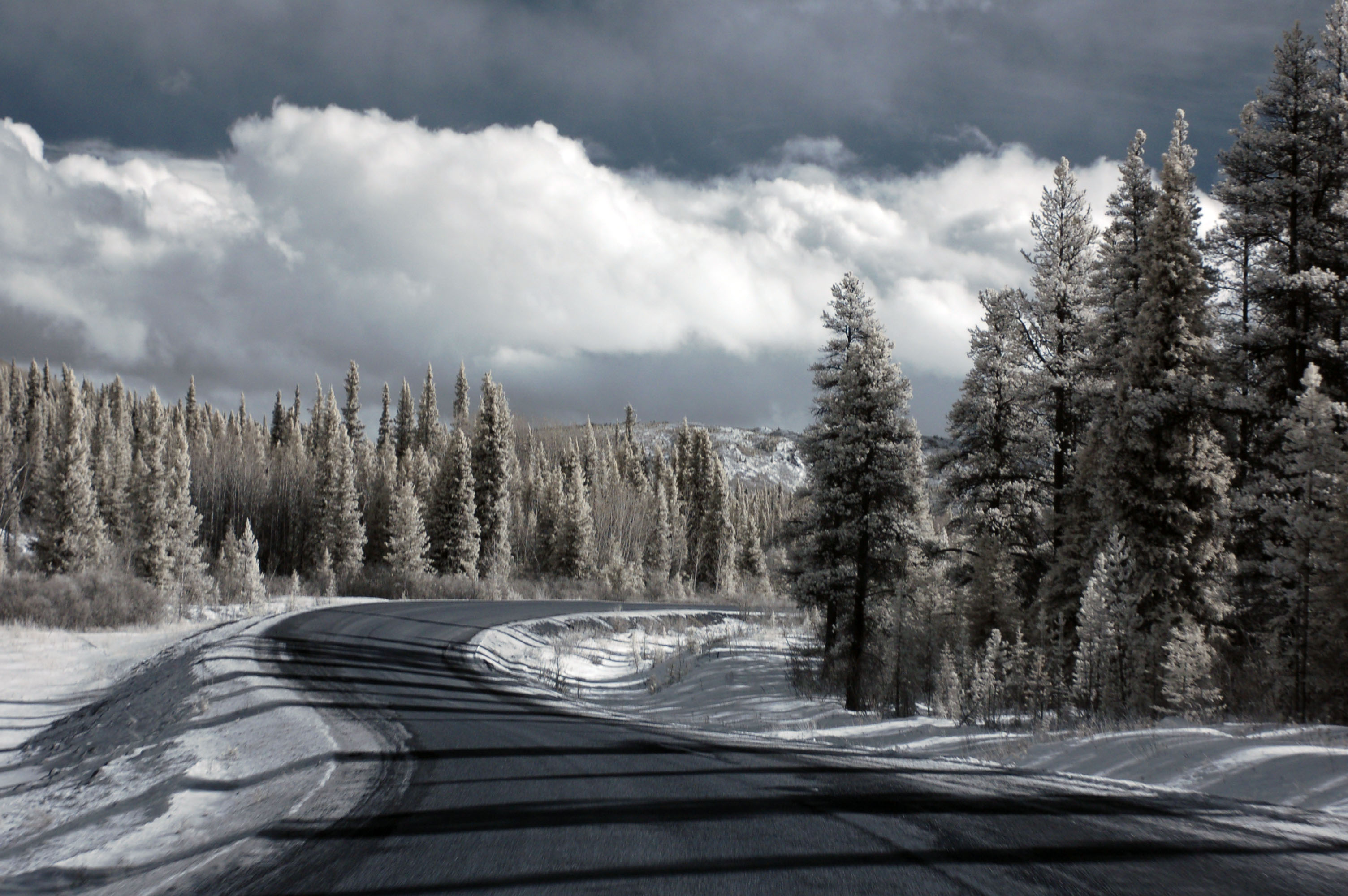
Winter in British Columbia.
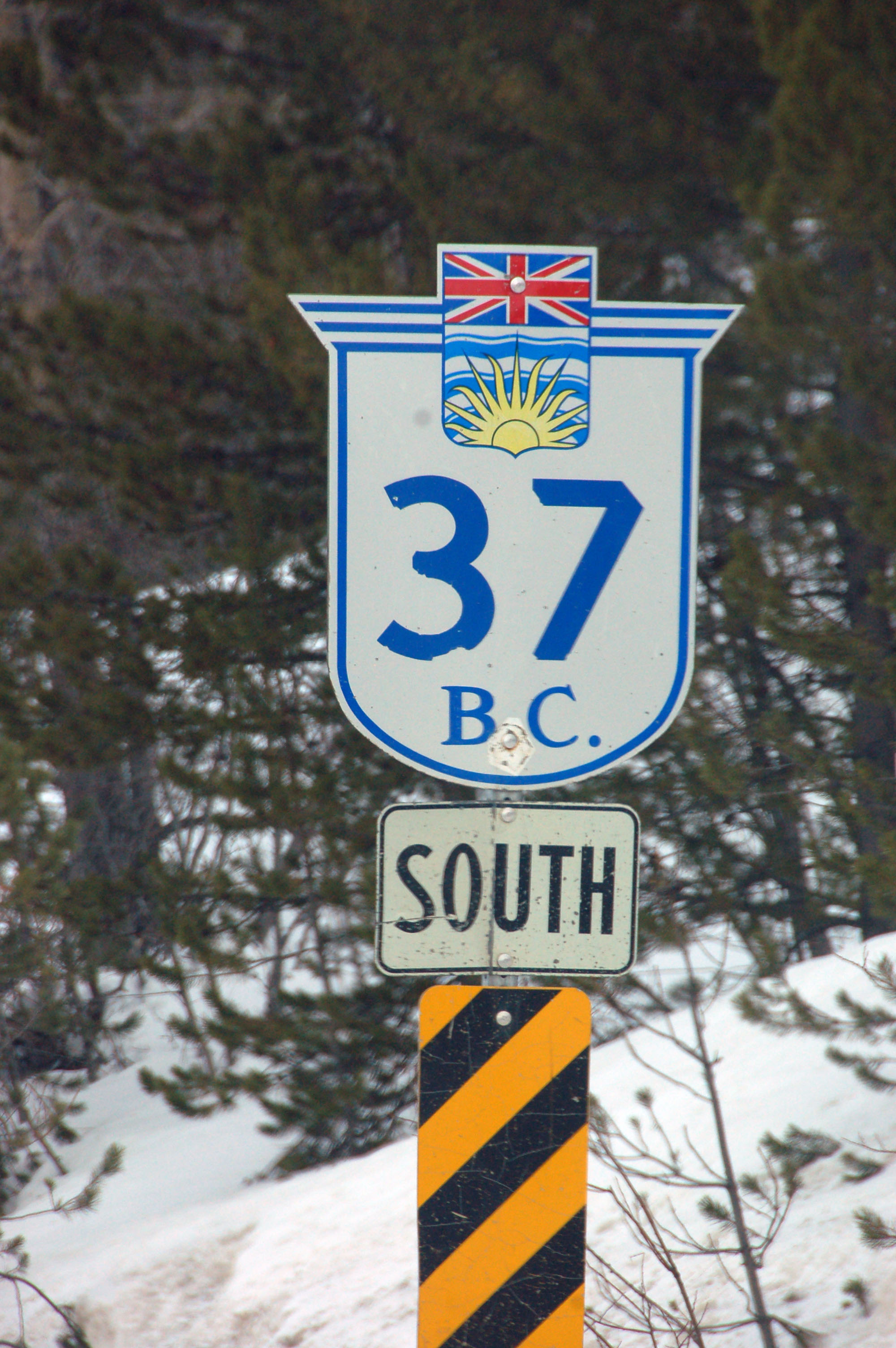
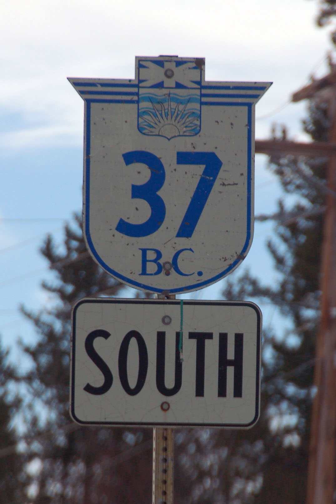
This isn’t the first 37 reassurance marker, but it is the first one with the old font.
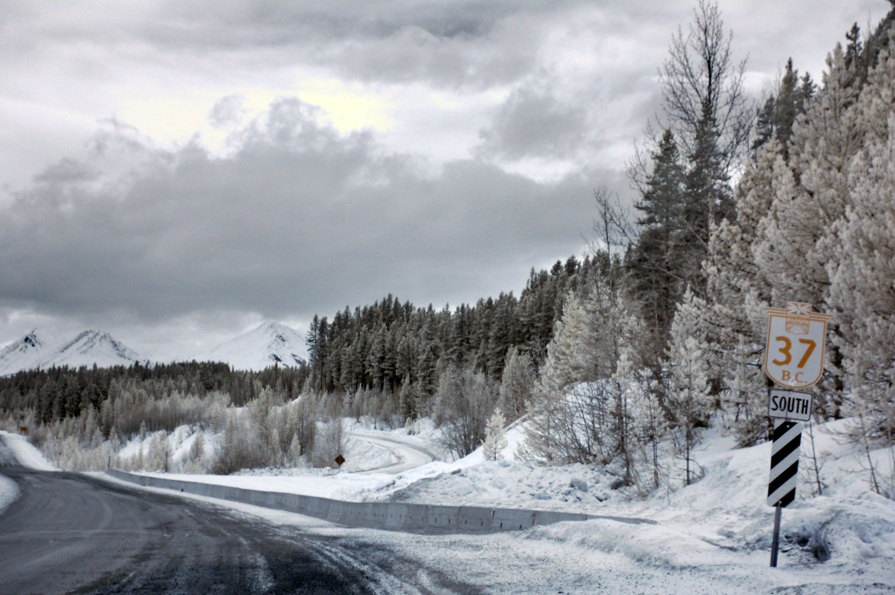
And here is what it looks like in infrared.
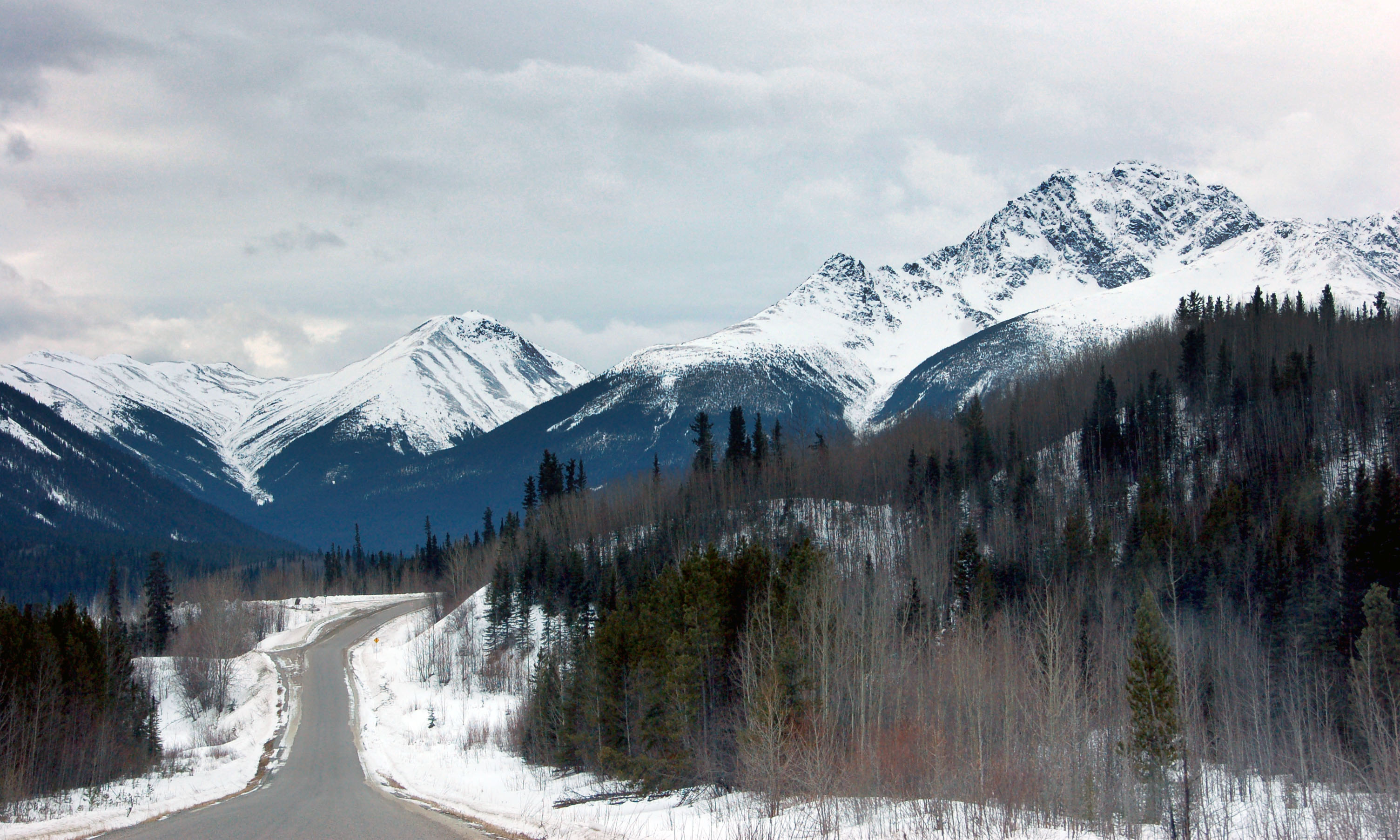
Going over some mountain passes.
More frozen waterfalls.
At Dease Lake is this shield with closely spaced narrow digits. And a gas station.
Snow blows across the road as we head out of Dease Lake.
The view to the west from the Stikine River bridge.
And the east view again, but this time in infrared. Also not quite as wide an angle.
One from Dan, significantly more zoomed in.
Did I mention the ominous yellow clouds?
Yep, over the next hill, we’re going to be in trouble. [Dan photo.]
More infrared from Dan.
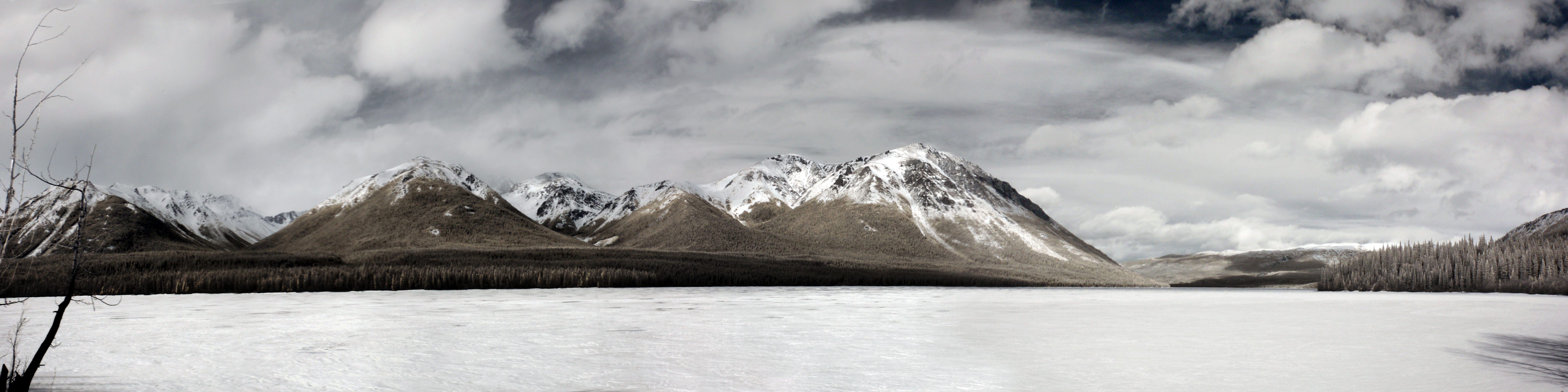
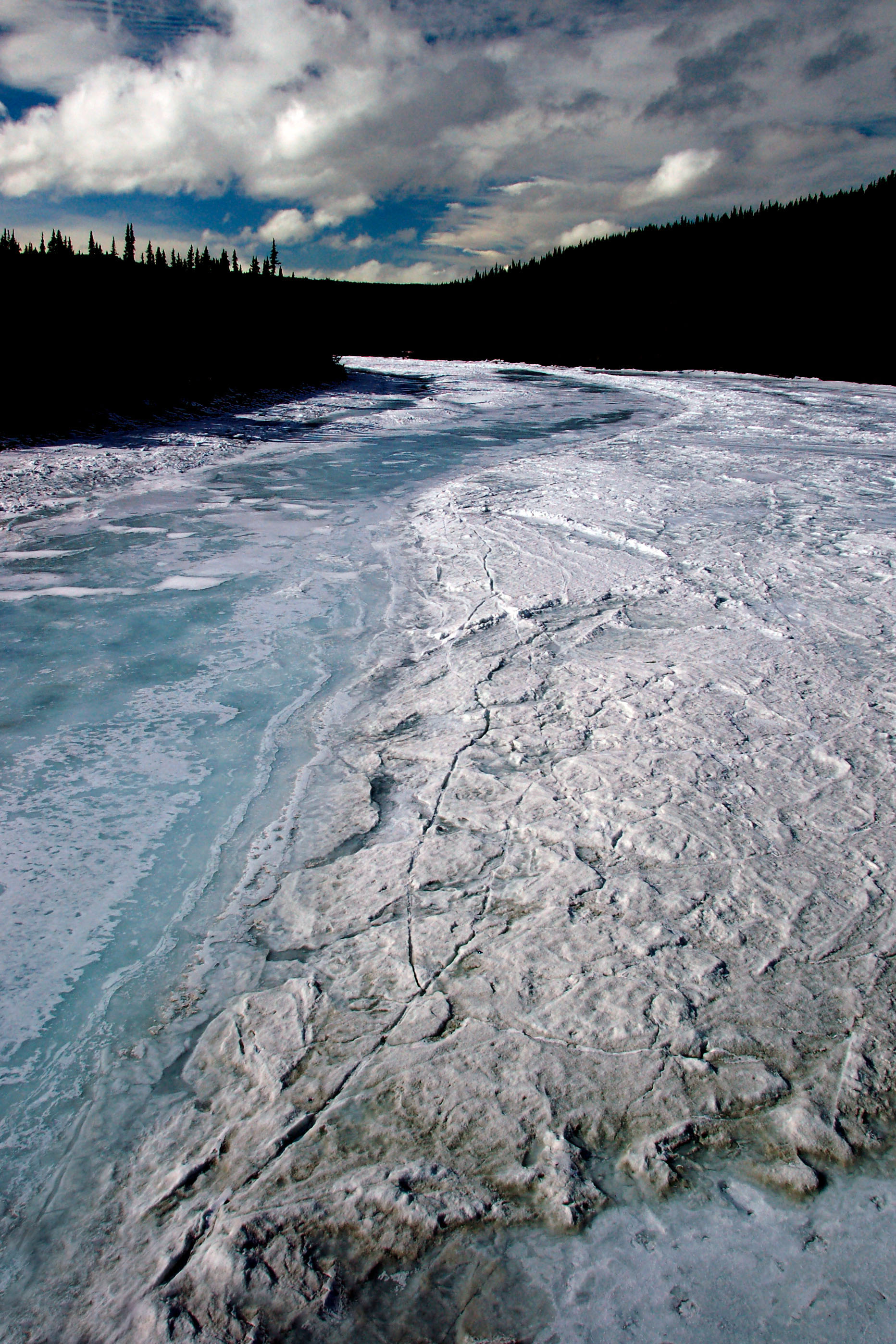
Panorama of a frozen lake from Dan, best appreciated at full size!
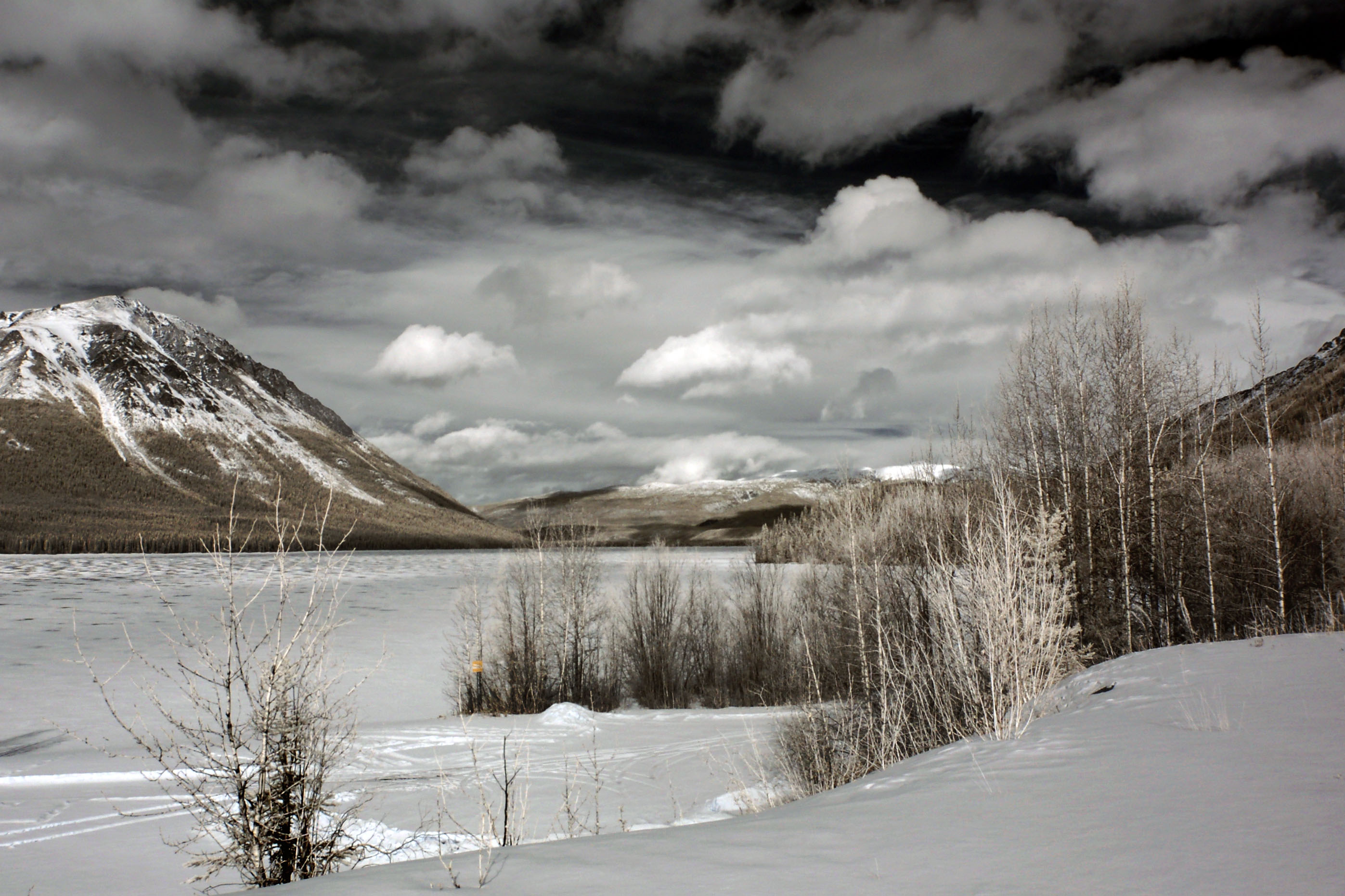
Same lake, different vantage point, different person taking the photo.
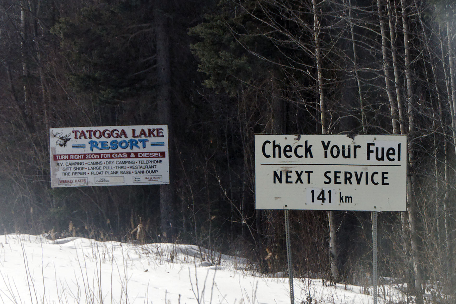
I wonder why they felt the need to change a word (likely “gas”) to “fuel”. [Dan photo.]
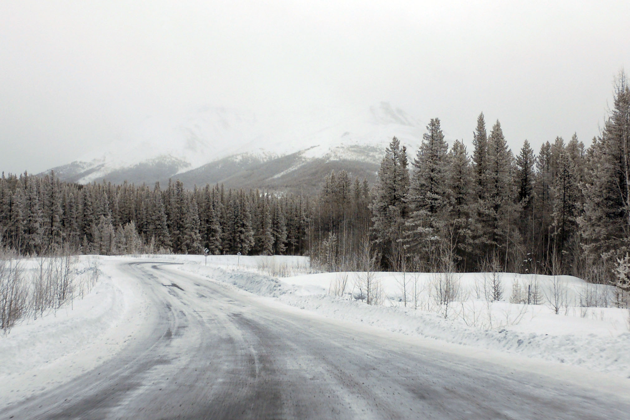
And it’s overcast!
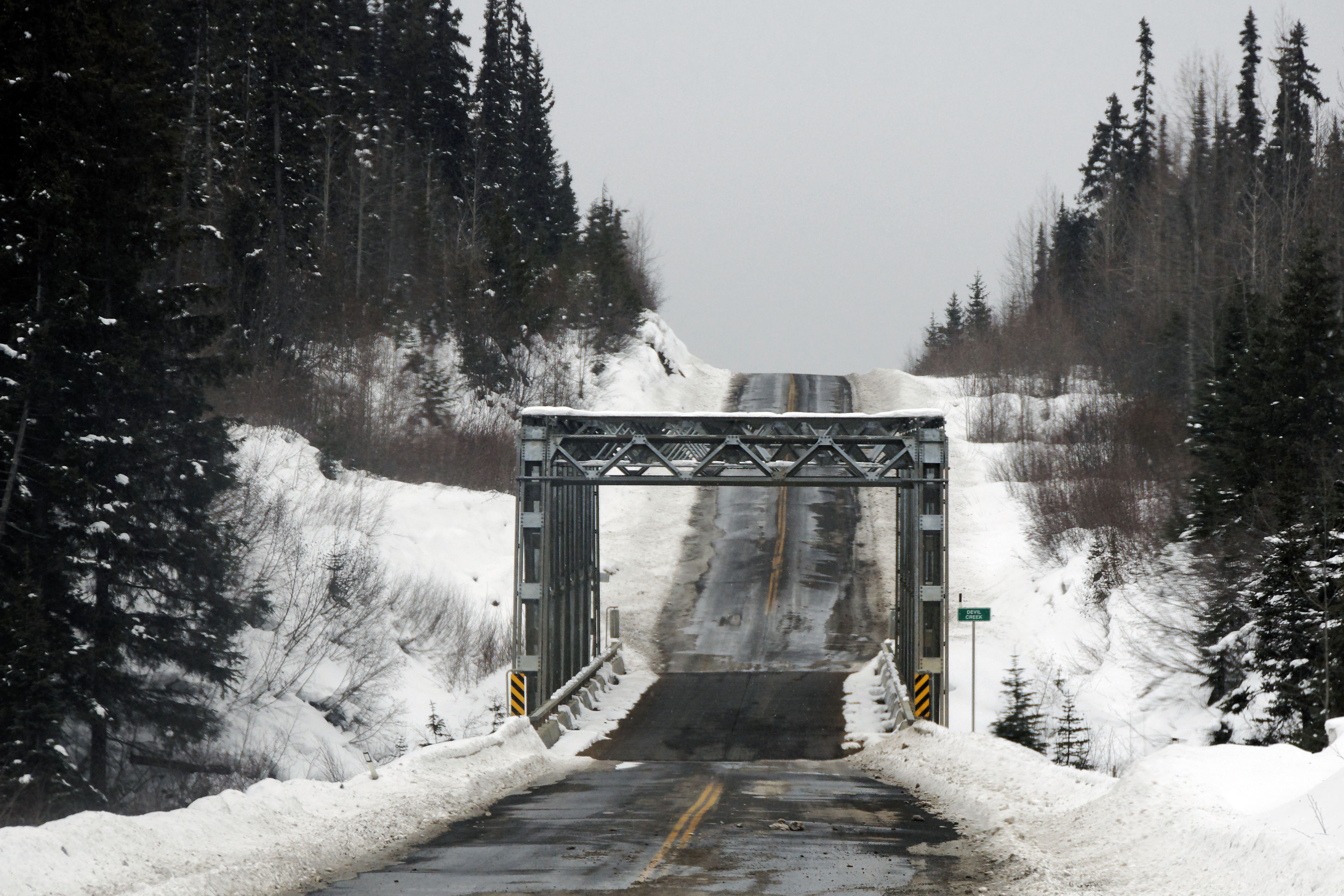
The bridge over Devil Creek. [Dan photo.]
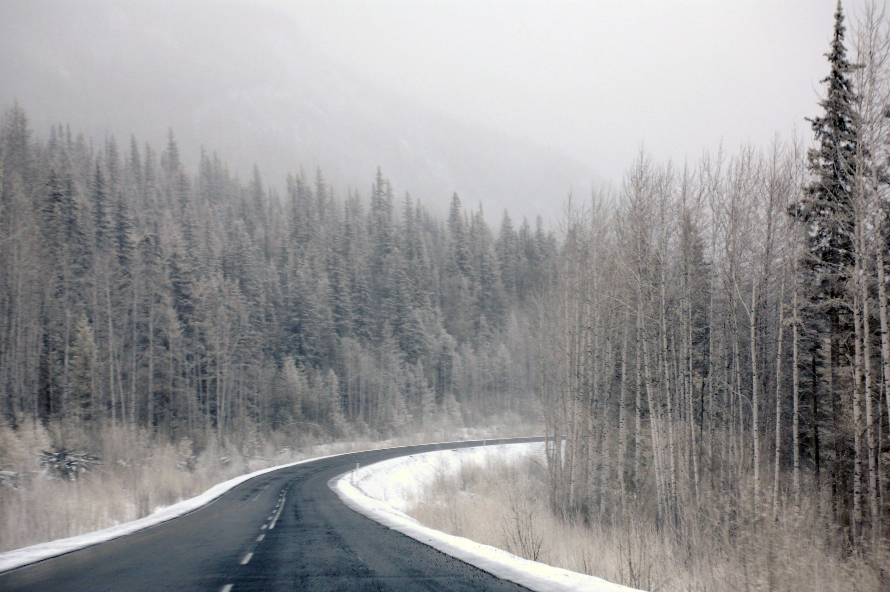
Getting murkier and murkier. Around here is where I don’t take a single photo for about an hour, as I’m busy keeping us on the road.
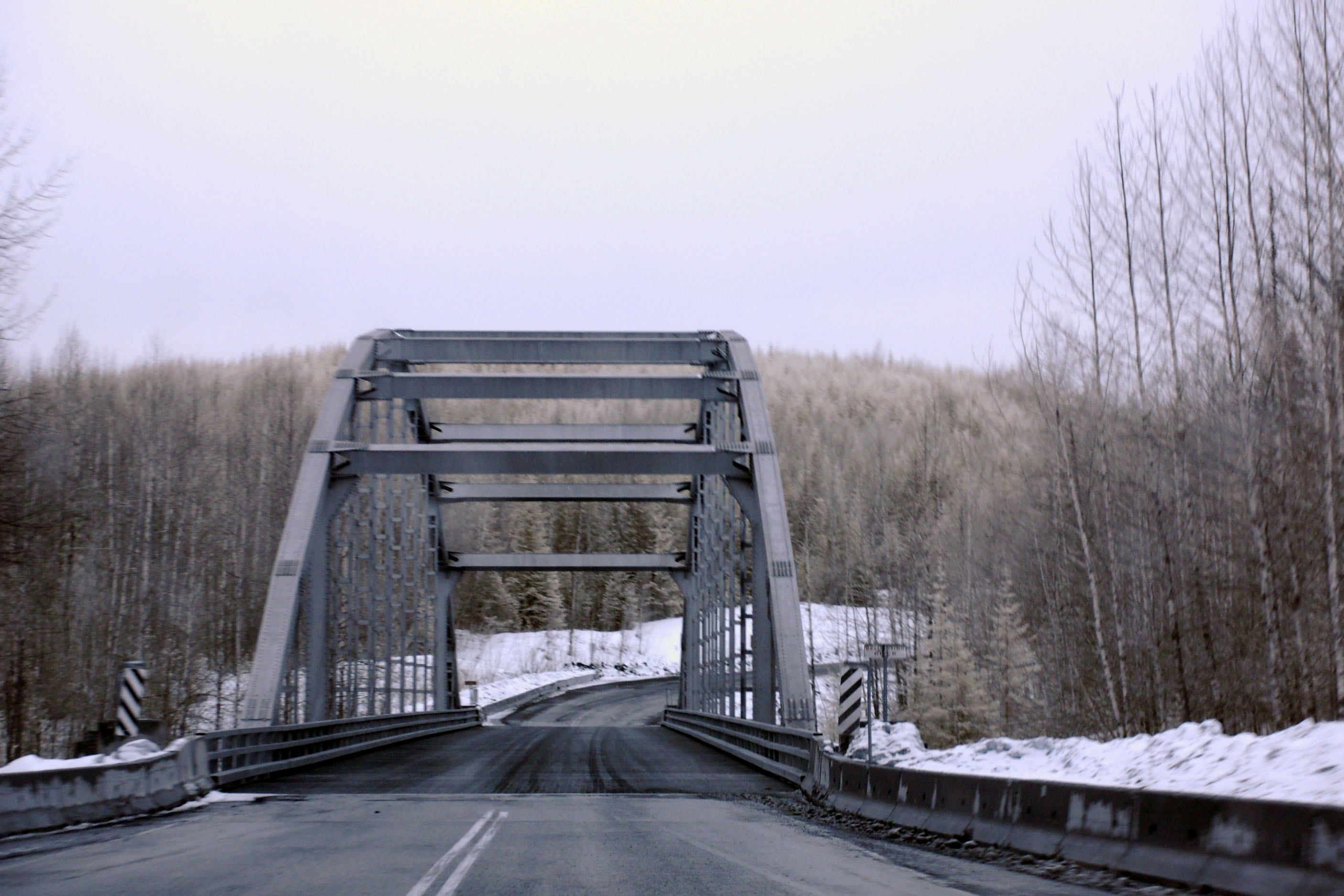
A truss bridge, about 100km south of the previous photo.
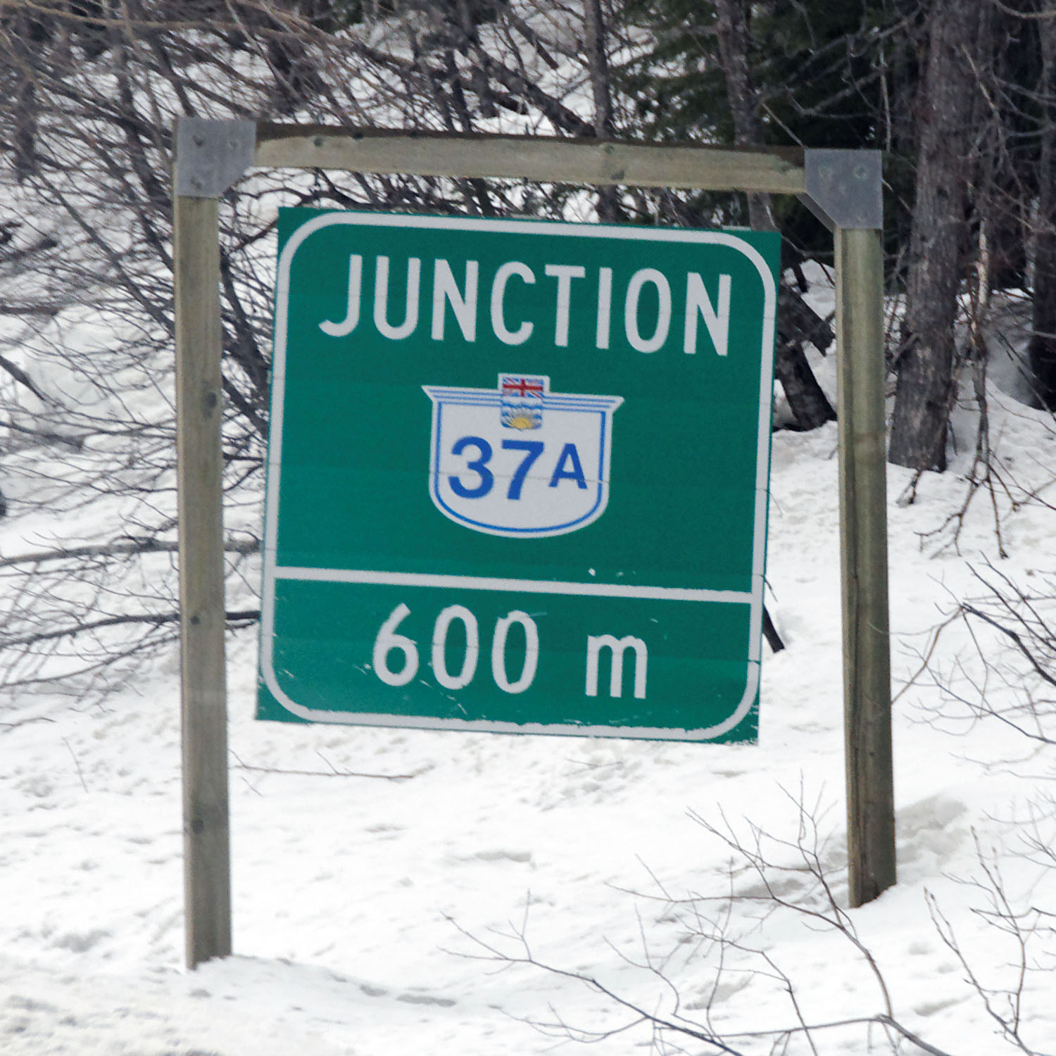
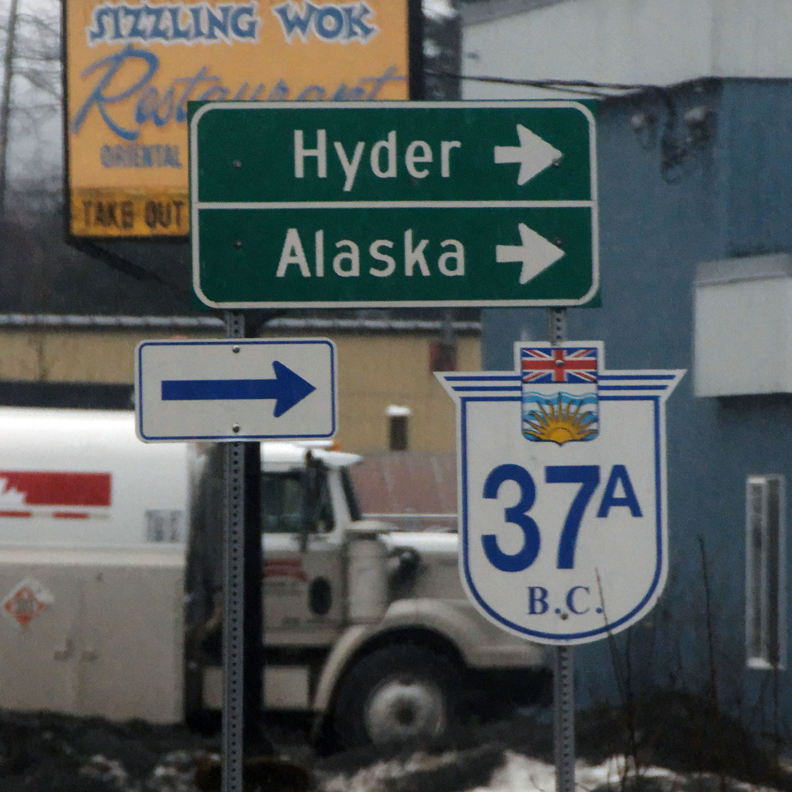
The sign is being buffeted by a stiff wind. 37A is the spur route to Stewart, BC, and then across the border to Hyder, Alaska, which can be accessed by land only from Canada. [Dan photo.]
The road to Hyder is fairly murky as well, but since we’ve come down a lot in elevation (and a little in latitude), it is more rain than snow.
Downtown Stewart. 37A turns to the north to cross into Hyder. [Dan photo.]
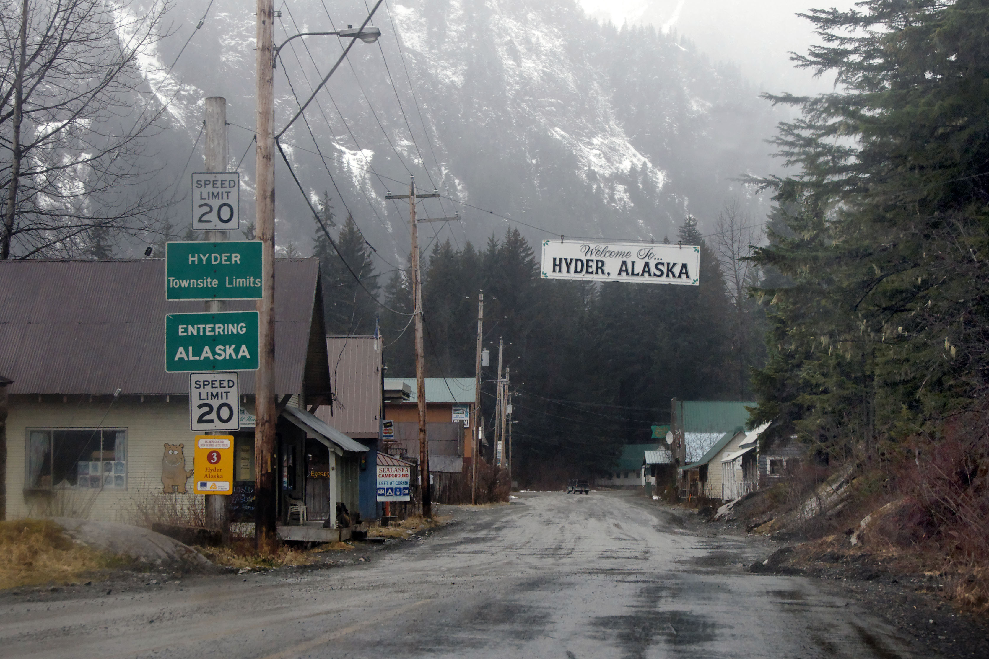
Welcome to Hyder. The best US border patrol station ever, as it is in Invisible and Harmless Mode. Indeed, there is no US border patrol here! There is a Canadian one in the other direction, but they are well aware that one can’t go anywhere from Hyder, so the interrogation there was extremely brief. [Dan photo.]
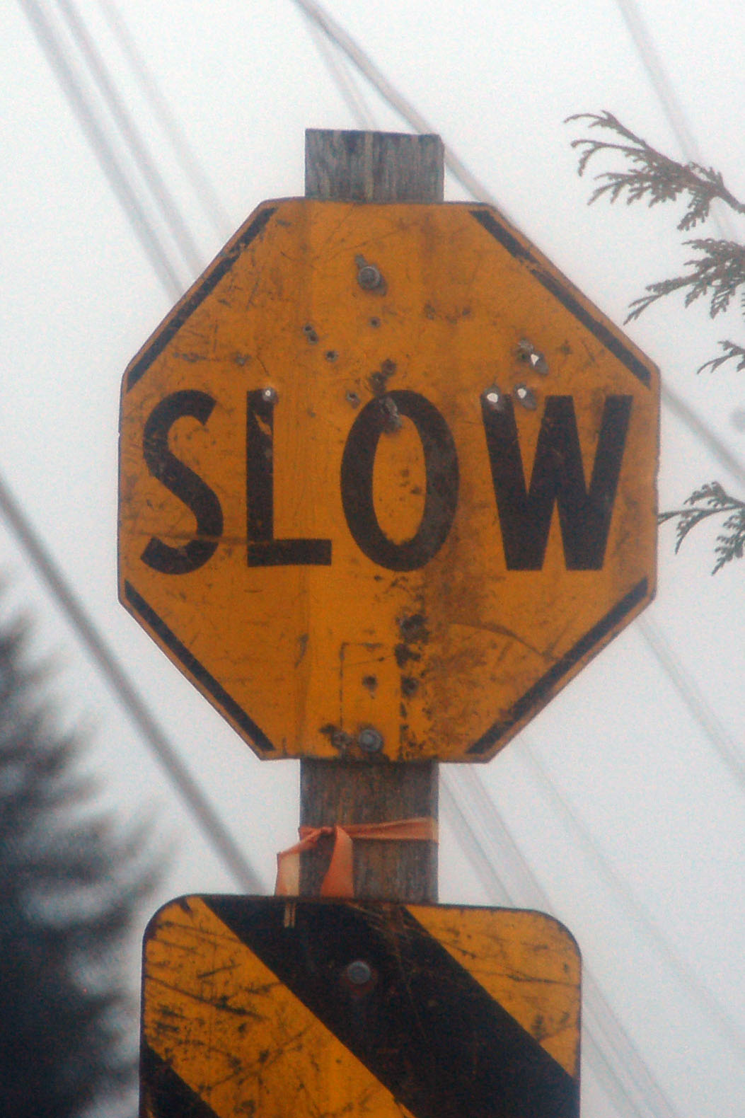
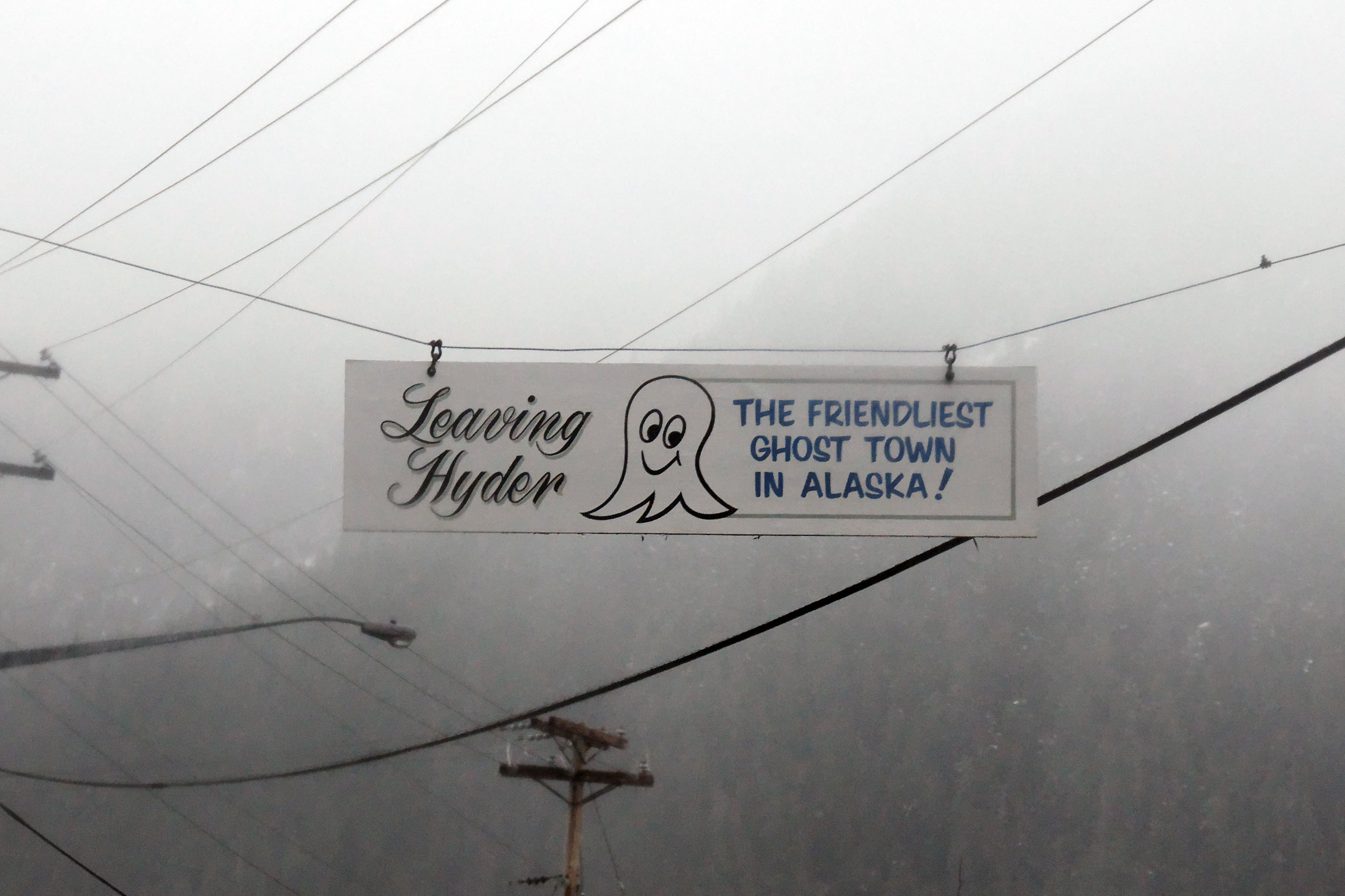
This odd little sign can be found in downtown Hyder.
There isn’t much to do in Hyder – once you go down the main drag, you can turn around and head back to Canada. [Dan photo.]
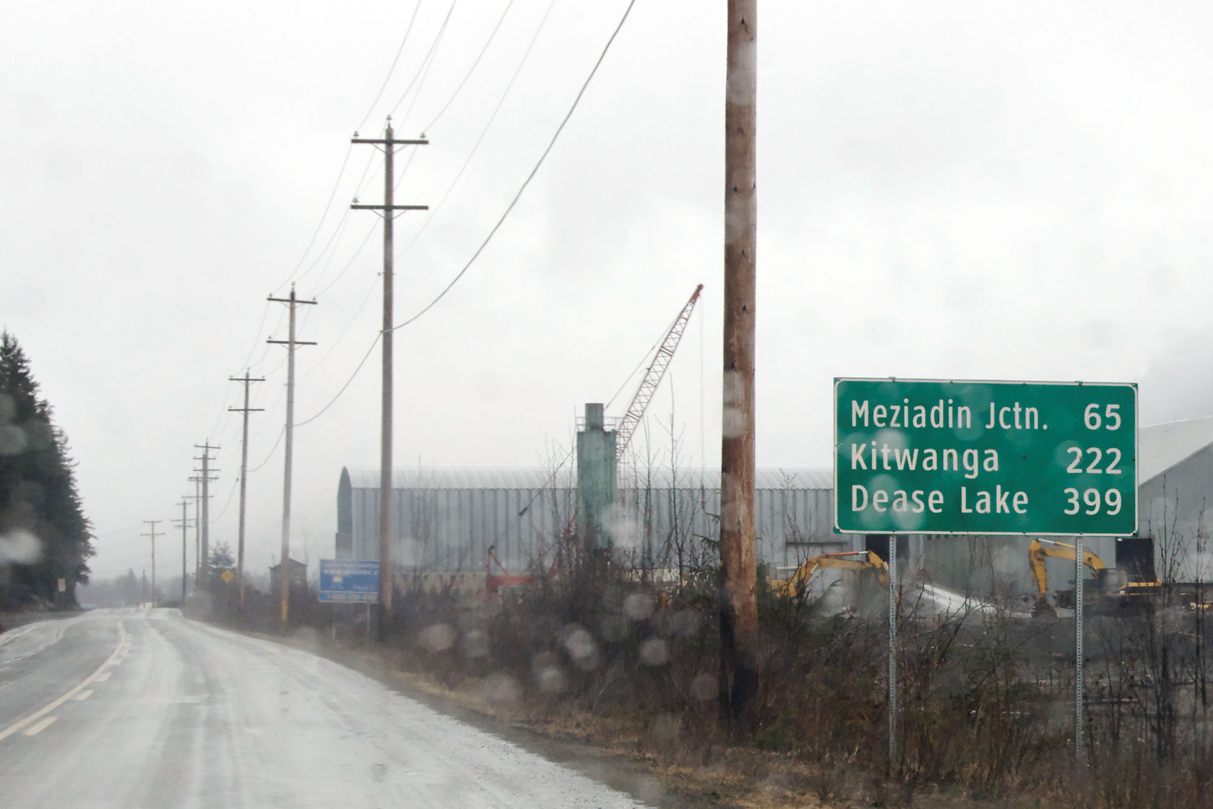
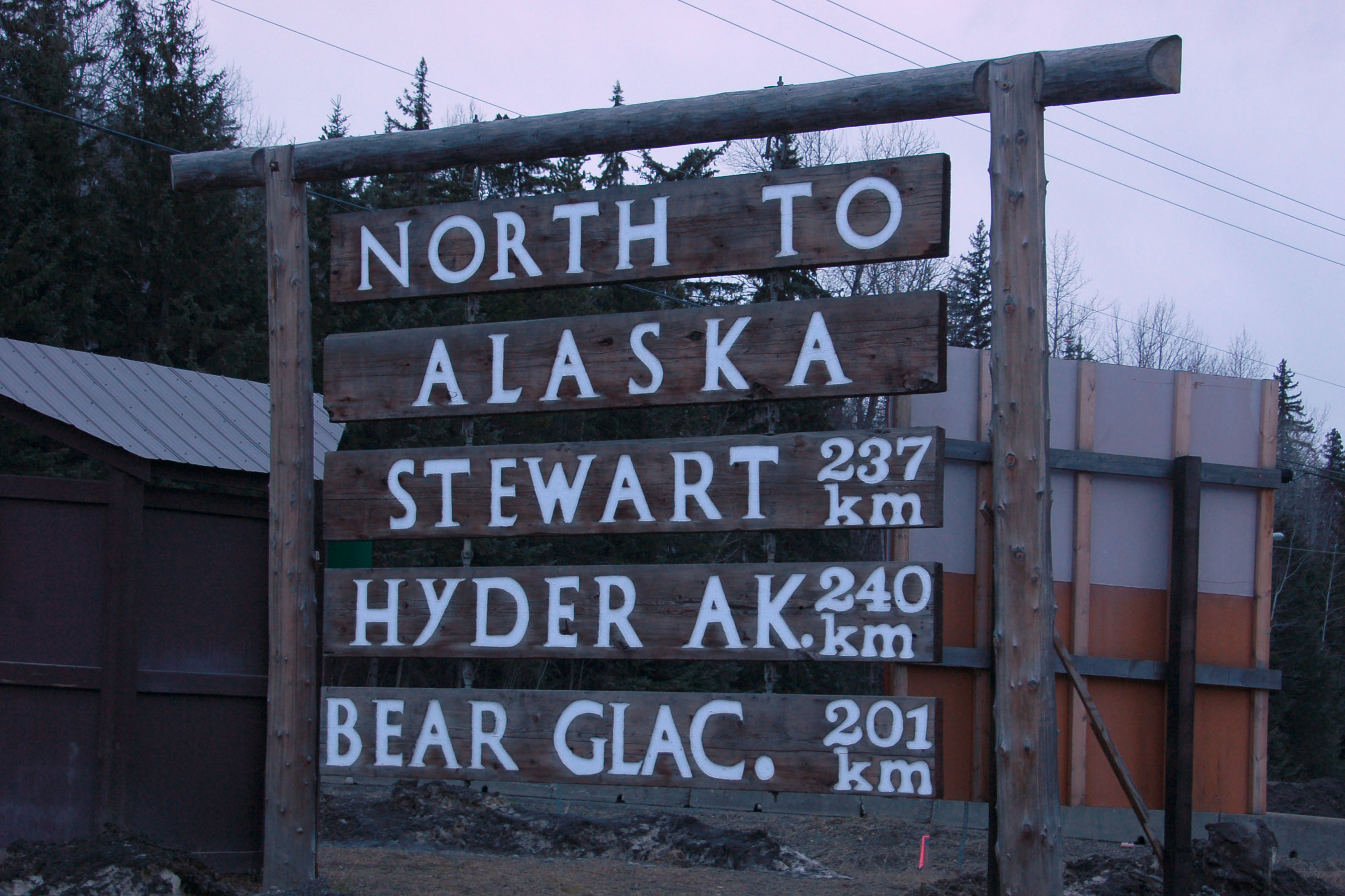
Back we go. Meziadin Junction is where 37A splits off from 37. Kitwanga is where 37 hits 16, the Yellowhead Highway. [Dan photo.]
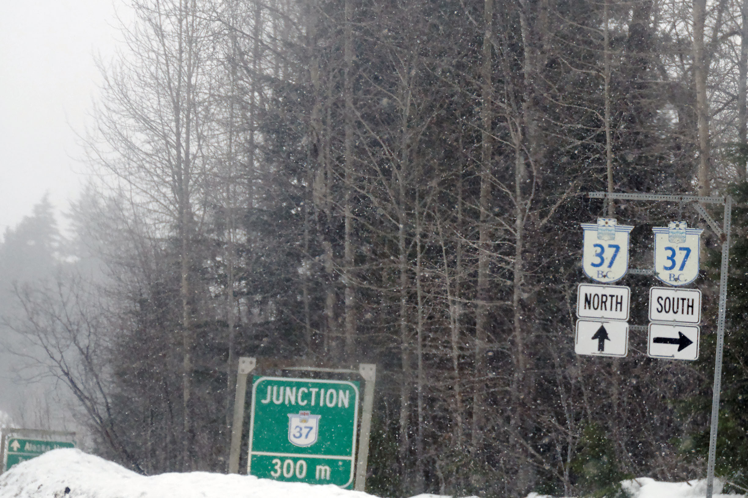
And we’re back at the split. The green sign in the background says “Alaska Hwy” – over 300 miles away. [Dan photo.]
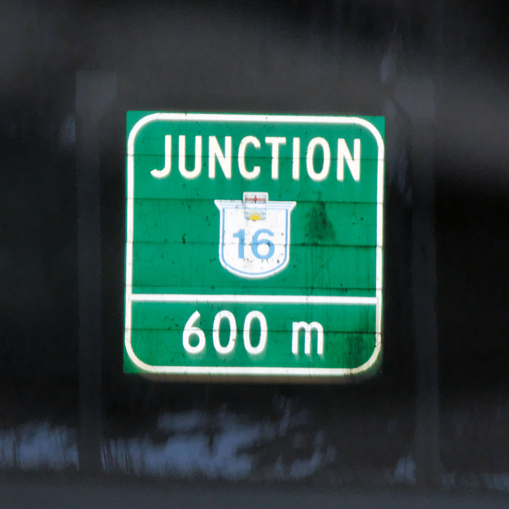
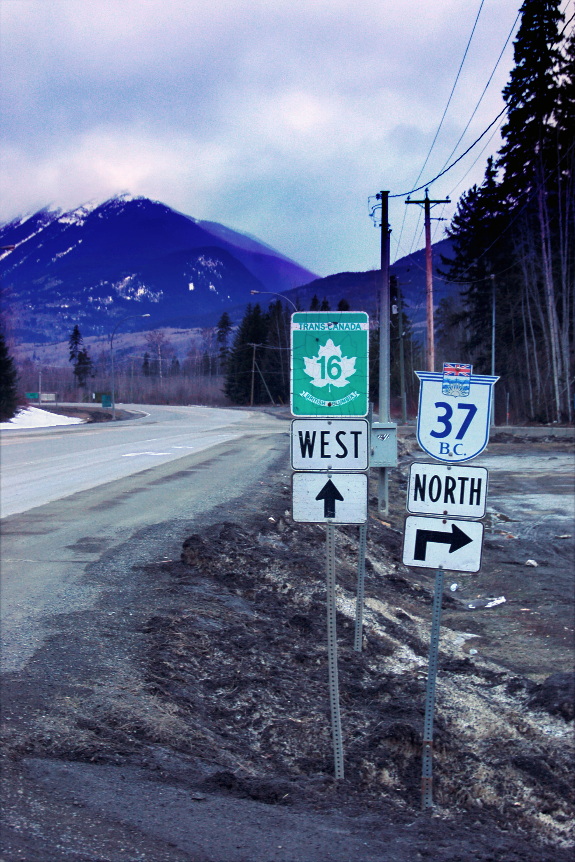
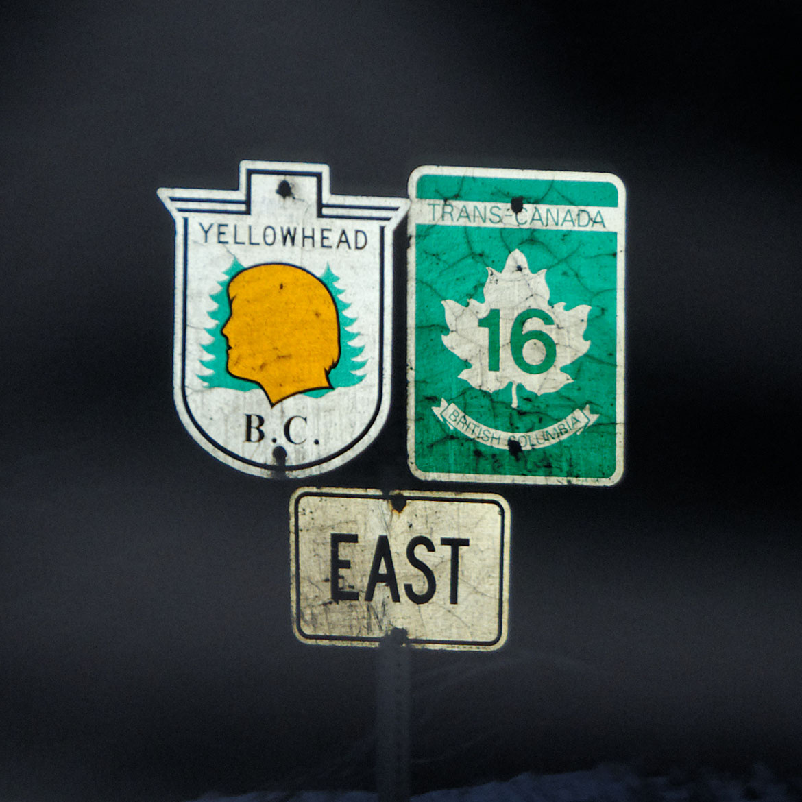
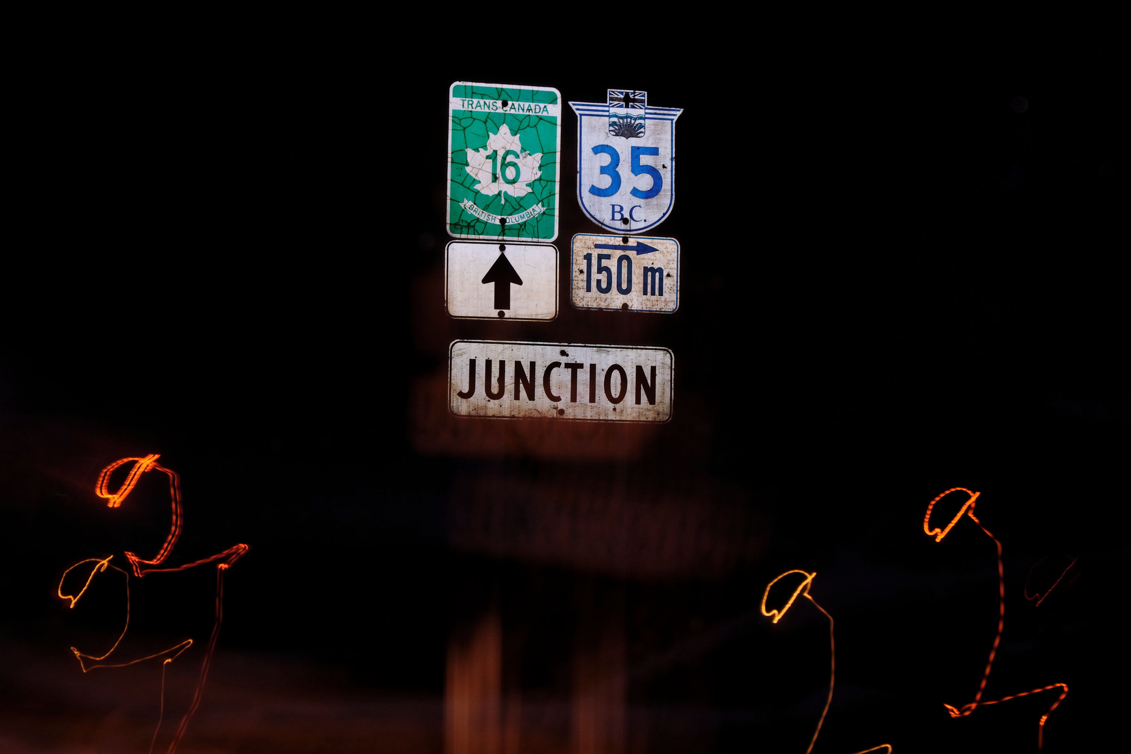
What’s this? A plain route 16 marker. Usually 16 is signed with a pair of signs: one British Columbia cutout with the Yellowhead Highway symbol (with a number 16 on the older shields, but not the newer ones) and one green and white Trans-Canada 16 rectangular shield. [Dan photo.]
End of the Cassiar Highway. The number 37 continues for a while, as it was extended in 1985 down the Yellowhead for a while and then south on its own over the previous route 25.
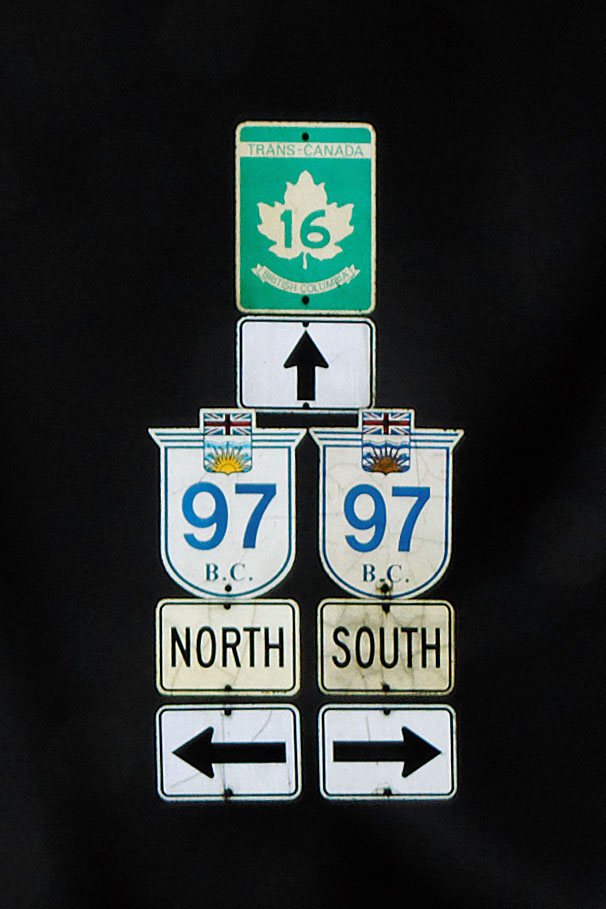
Correct signage on the Yellowhead highway.
Heading east on the Yellowhead.
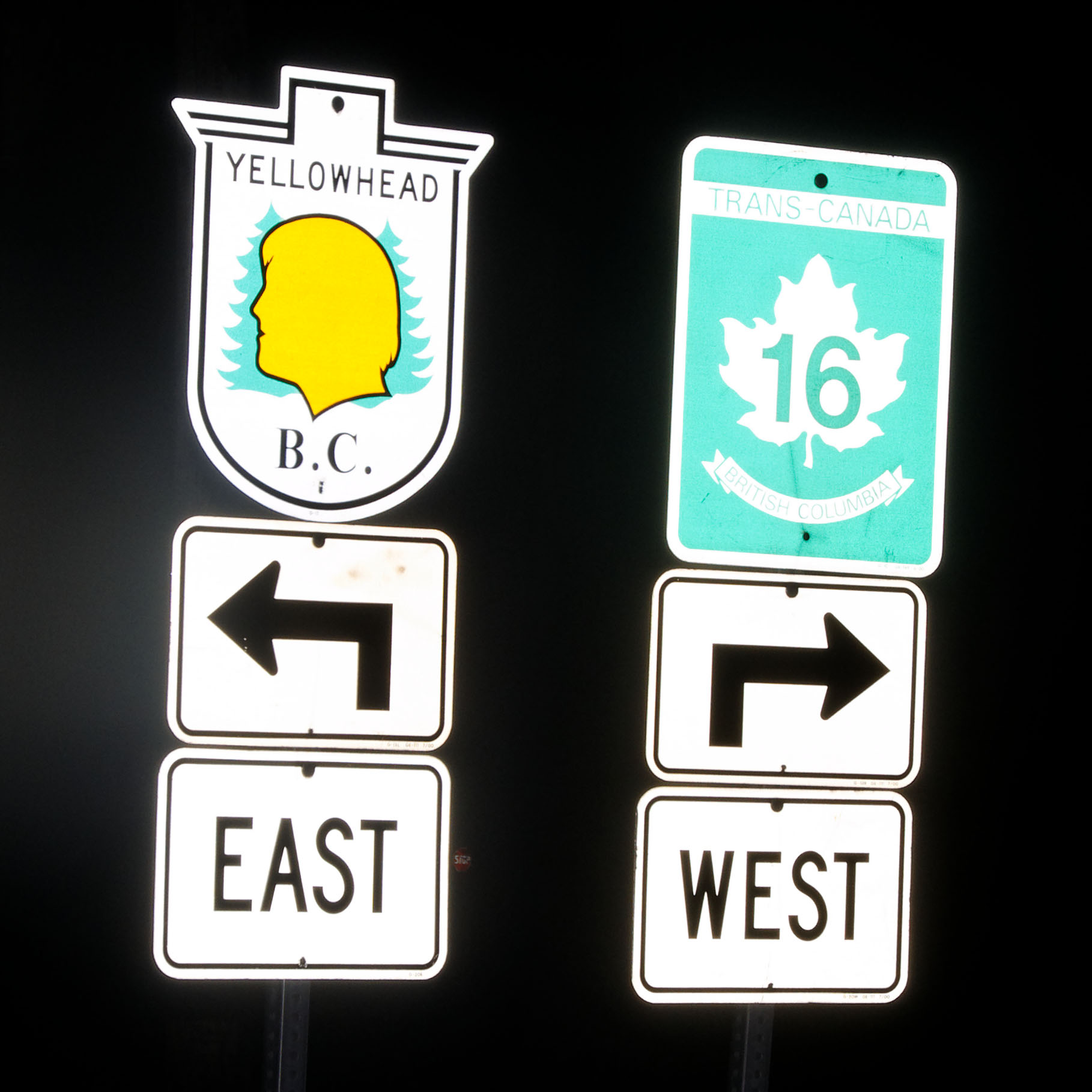
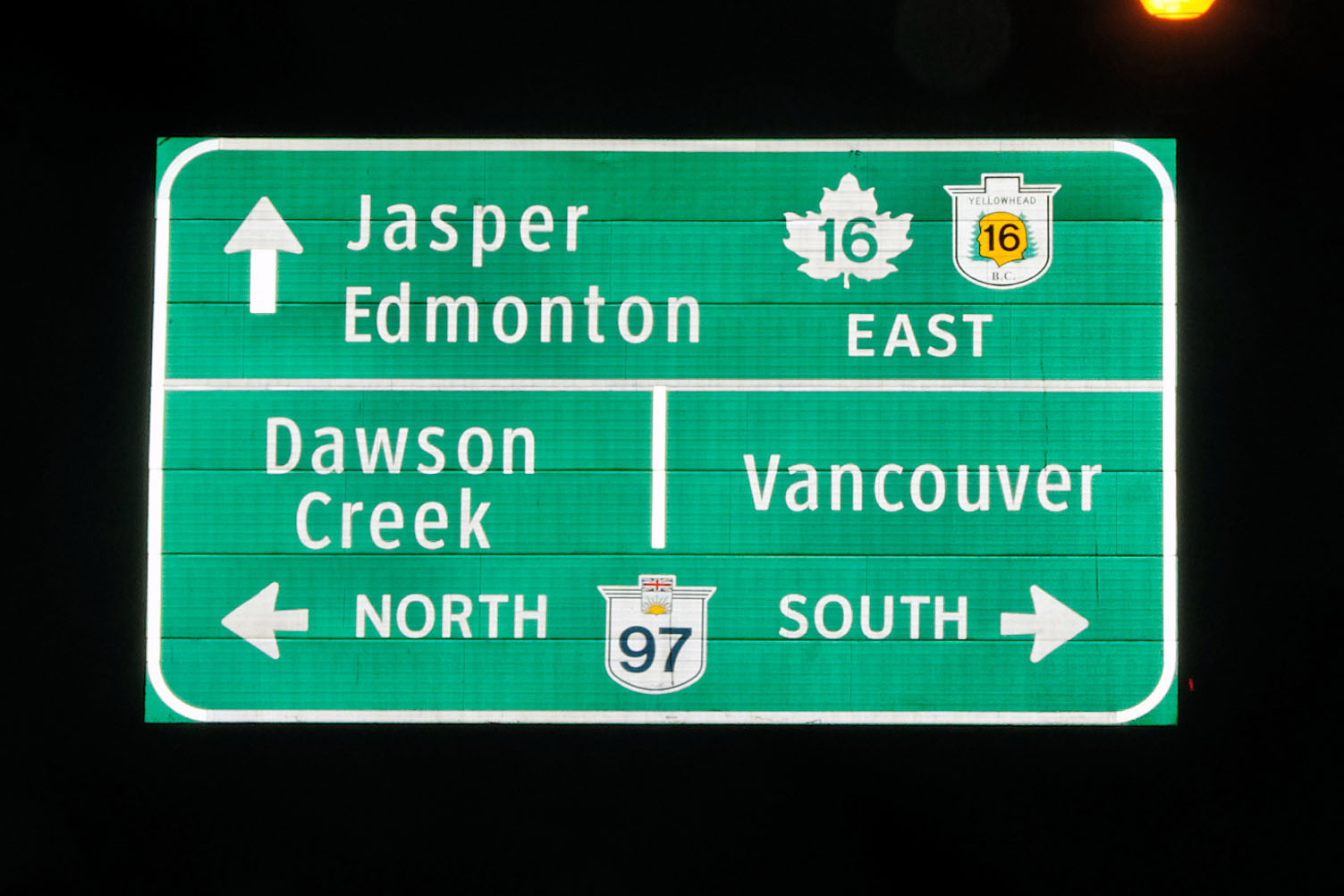
Confusing signage at the foot of highway 118. It isn’t one road that goes one way, and one the other. Trans-Canada 16 is the Yellowhead Highway, and it goes in both directions. [Dan photo.]
This is what happens when you have the camera set to a manual exposure length, and add flash on top of that. Extra-squiggly photo of these older route markers courtesy of Dan.

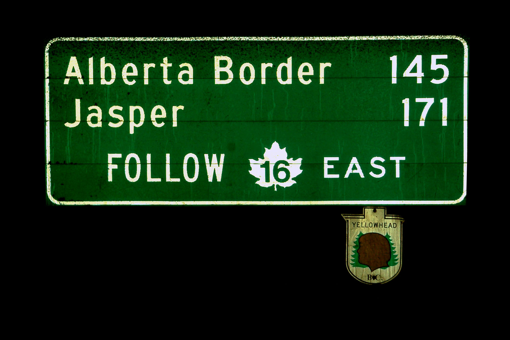
Here is an older Yellowhead shield with the route number. [Dan photo.]
Here is where we close the loop. Prince George – where we were on the night of Day 1. [Dan photo.]
Surprisingly, the only Trans-Canada 16 shield we saw that had the correct font. [Dan photo.]
Last photo of the night. We tried making it across the Rockies (the Alberta line is the Continental Divide), but had to turn back due to the snow getting heavier and heavier. We stopped to wait for the snowplow.
Next up, day 7, on which it snows terrifyingly. Did we survive? Tune in next time to find out!

“Fuel” would suggest that Diesel is available as well as gasoline.
Your “blower” looks like a beehive burner, which is used at some sawmills to burn the wood waste material left after the useful wood is extracted for boards and chips. Where did you see it? Would it be correct to guess it was near Houston?
I do not remember near which town it was, other than that it was on the Yellowhead Highway east of Prince George, and along the south side of the road.
and yes, a google search confirms that it is, indeed, a beehive burner.
We drove the Alaska Highway & the Cassiar last summer–how cool to see pictures of it in the winter. You have neat photography.
That wouldn’t be Houston then, since Houston is considerably west of Prince George.
it is not. now that I think about it, we got gas in Houston, and I remarked how Jeff Royston was not there. (Jeff is from the other, more well-known Houston.)
Your “blower” is called a bee hive burner. Few in use today, they were used to burn sawmill scraps of wood and sawdust. Today an environmental issue and uses such as pulb, wood chips,barkmulch and cogeneration have been found.