
More from my New Mexico trip of November 2008, including some actual New Mexico this time.
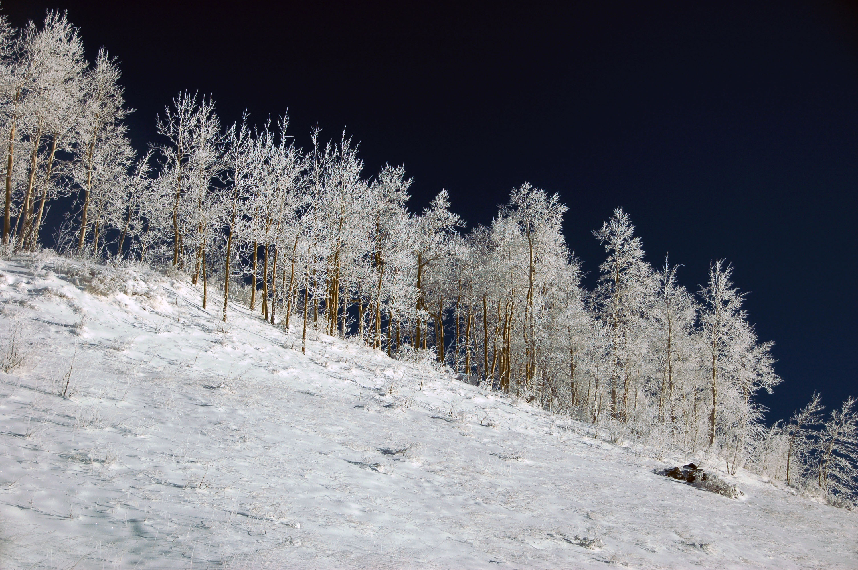
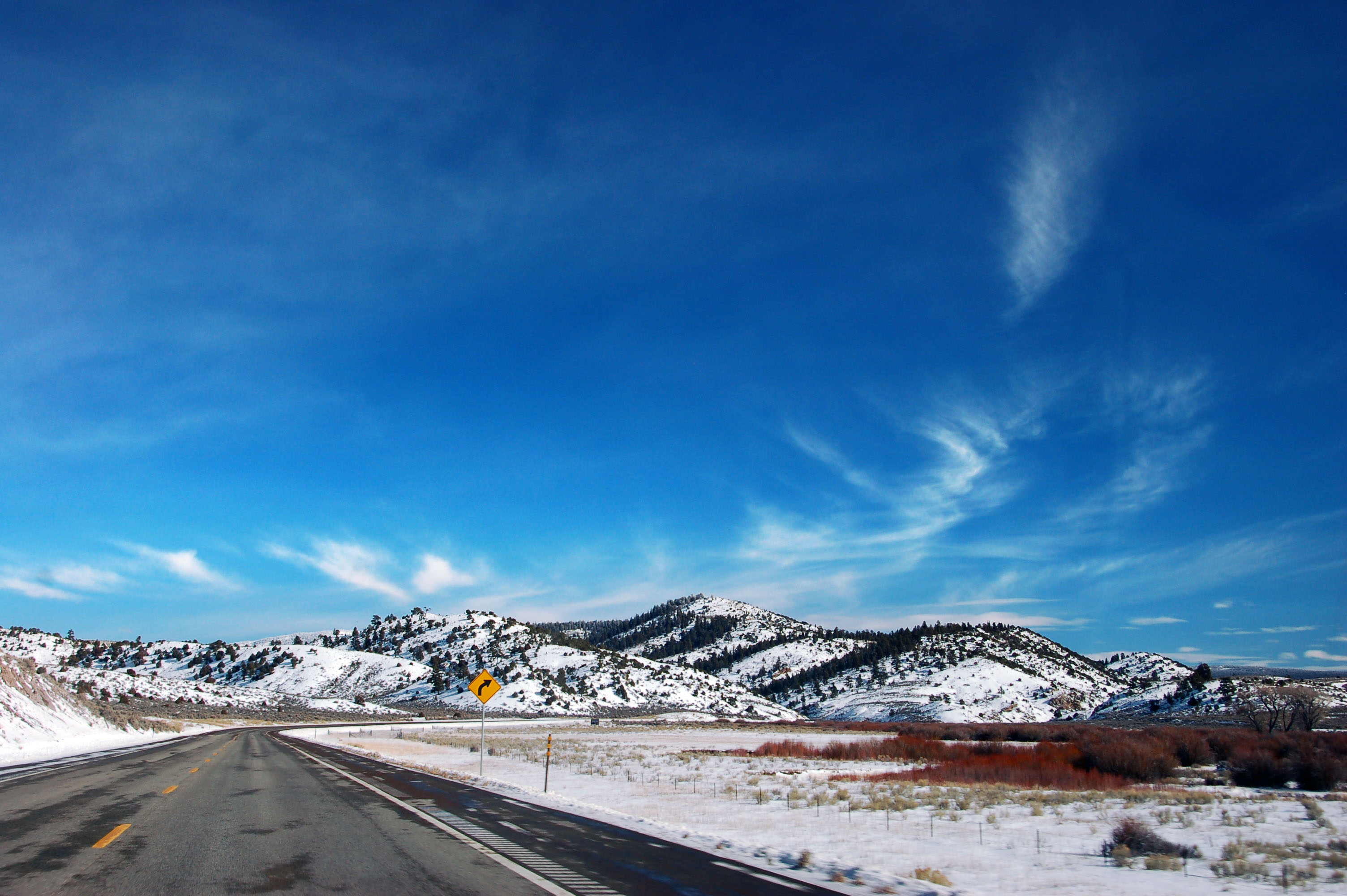
On the mountain pass between Chama, New Mexico, and Cumbres, Colorado – both states call this one highway 17. The sky was dark blue, just after sunrise – the snow is that bright, and there is just that little atmosphere, at 10,000 feet.

Sunset over the plains of northeast New Mexico. Old US-64 (now state highway 325) near Capulin Volcano.

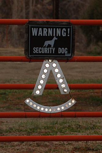
An undisclosed location in northeast New Mexico, home to my friend Dale. Certainly no old signs to be found anywhere.
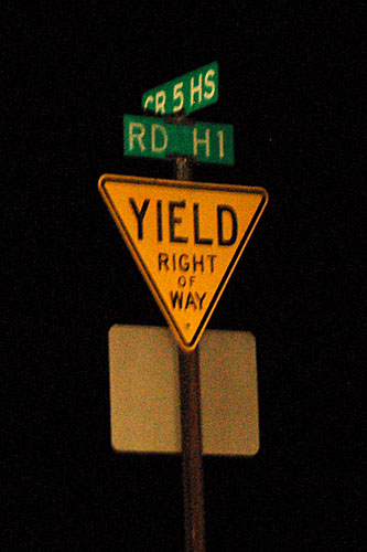
Getting up early for the yellow yield sign.

Here’s a very old white guide sign … with a new shield bolted on top. I am quite sure that someone could make a crowbar discovery of an older COLO 184 black and white shield under there.
We turn off 160 onto highway 84, which just barely extends into the state from New Mexico.

And, look at that, we’re in New Mexico. But only briefly – we’ll be crossing between the two several times.

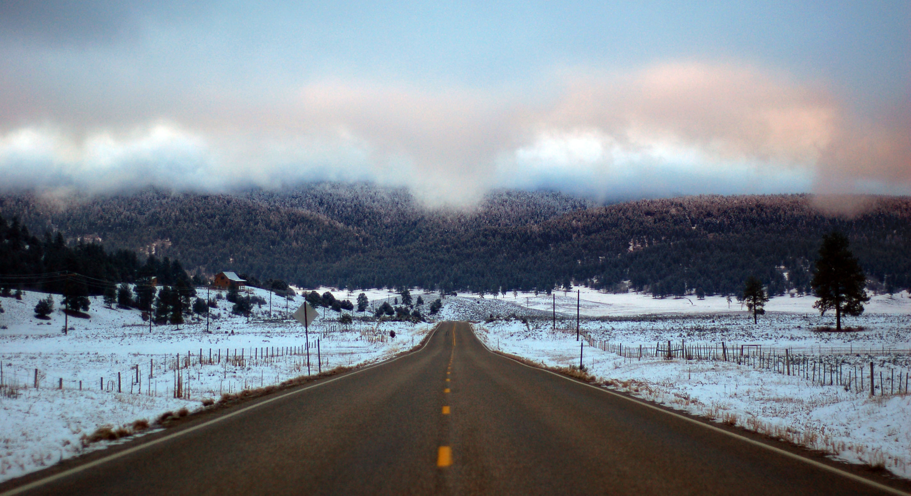
Highway 17, coming north from Chama across the mountains, back into Colorado.
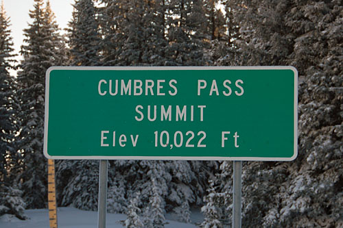
The top of the pass.

Do not ask me how this photo came out these colors. Setting the white balance so the snow is white turns the trees in the sun … bright orange!

Further down highway 17, about to cross the main ridge of the Rockies.
And now we’re back on 160.

In one of the small towns on 160 is this extremely new-looking yellow yield sign. It is facing the southern sun, so if it were actually old, it would be a lot more faded. Someone definitely pulled out the wrong signing manual, and good for them!

The last known old-style shields in Colorado. They dropped the state name in 1971, and brought it back in the late 1990s, but this older style with the small numbers is next to impossible to find.
Now that is how to correctly display one’s cattle brand!

Too bad, because that is the old US-85/87 alignment heading over Raton Pass.
There’s one final old-style interstate shield in Colorado … yep, it’s just before the state line.
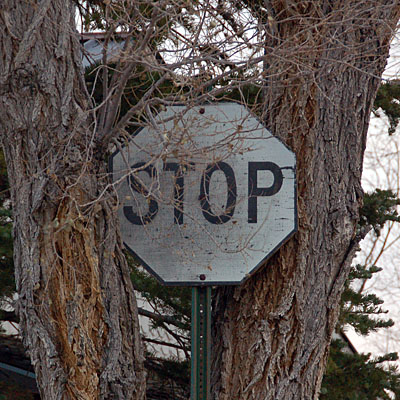
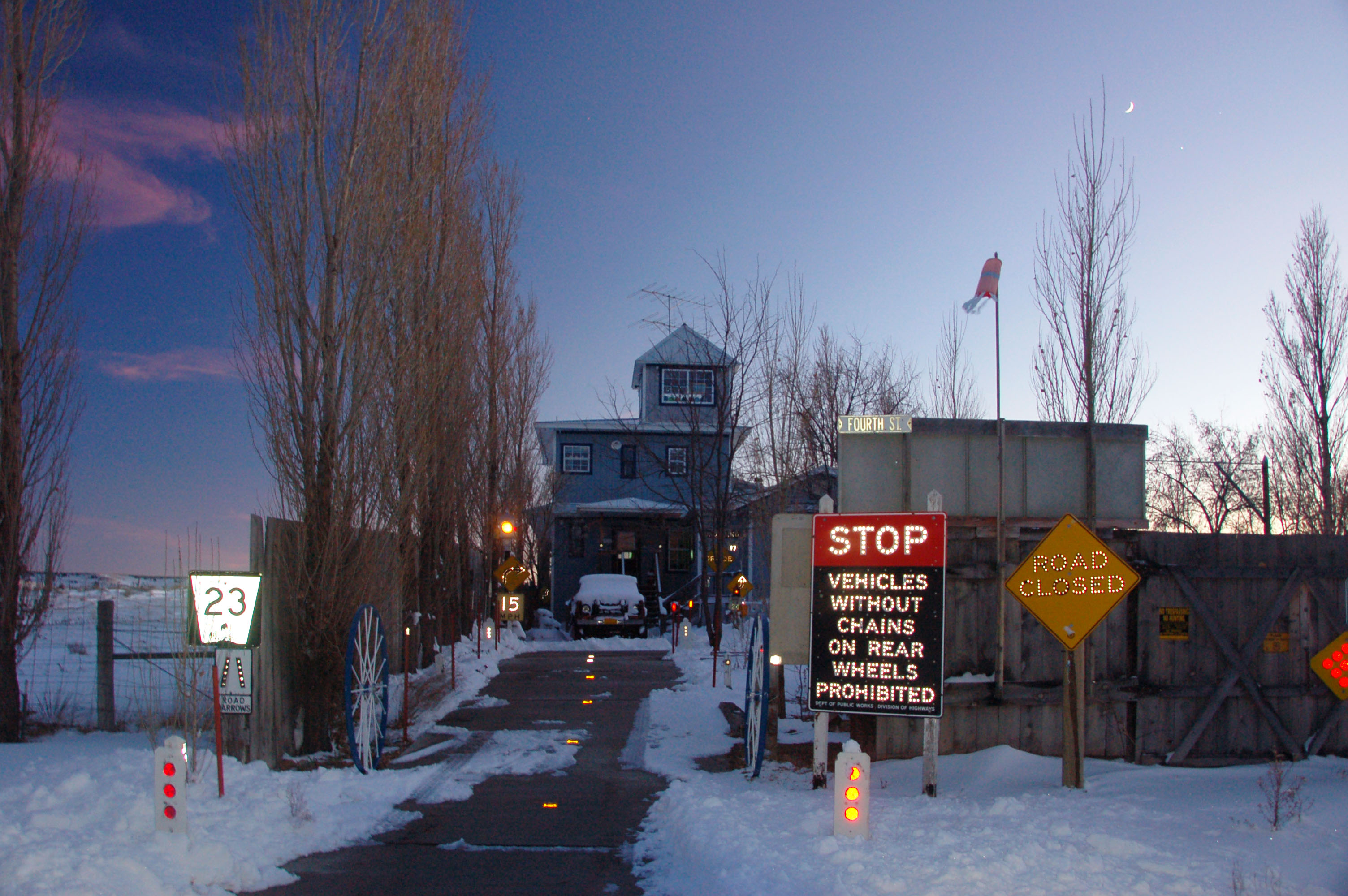
Who wants a decrepit old stop sign? Yes, this was once red and white, and now it is there for the taking, in a tree, somewhere in northeast New Mexico. In fact, not too far from where I’m staying for a few days.

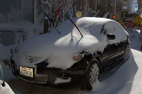
At some point, it snows. I might be staying more than a few days!

Quick, let’s measure how much fell, using the handy-dandy rocket-launcher-looking precipitation collector!

A ridge of wind-blown snow.
The universal gesture for surrender.
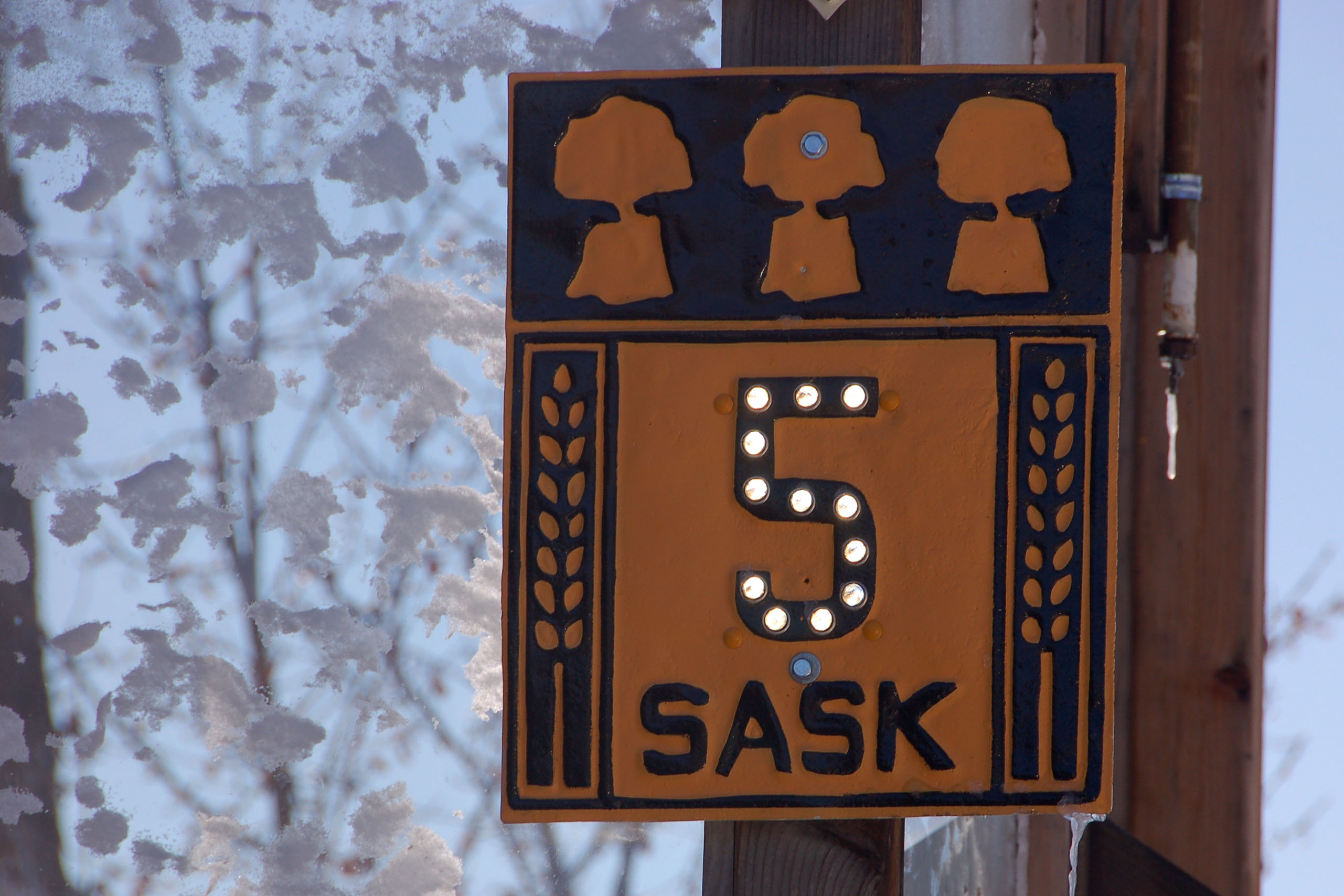
Grim and frostbitten Saskatchewan.
Snow and ice, for everyone’s benefit.

Nothing like a snowstorm in the rockies!

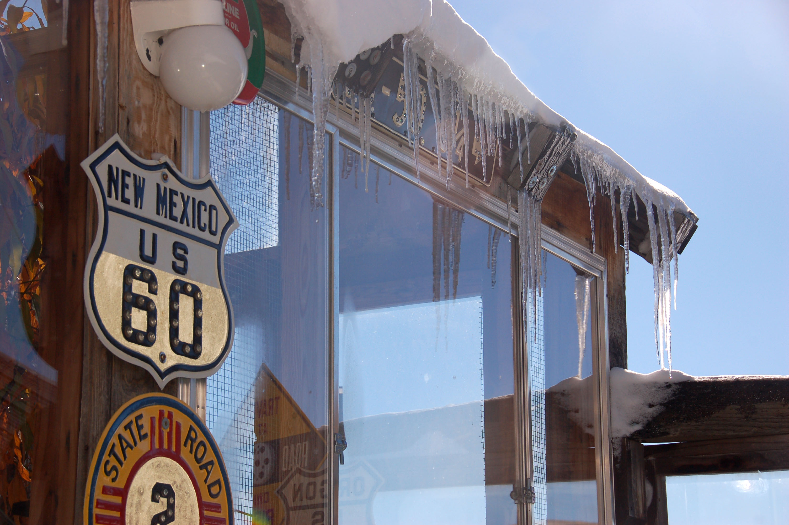
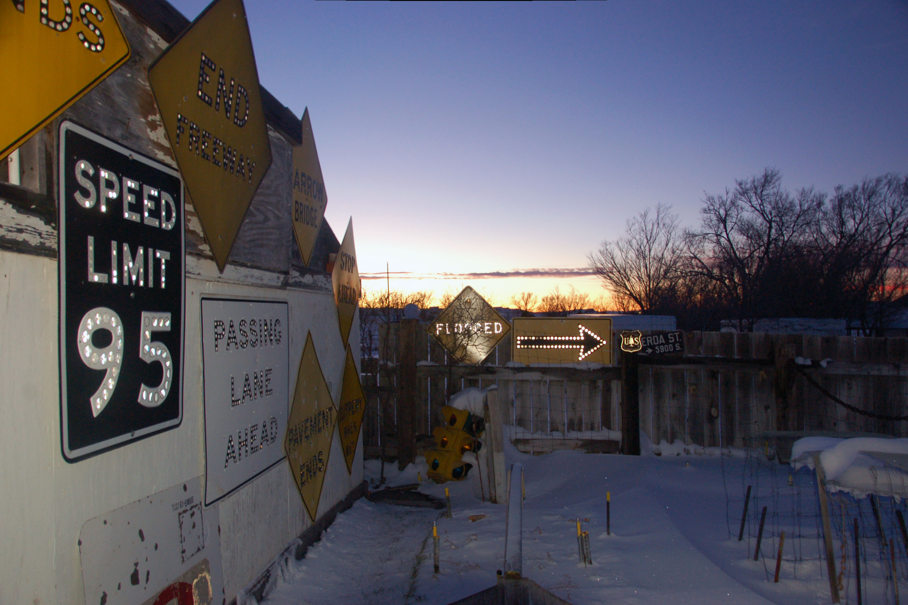
Snow and ice and old signs everywhere.

One more.
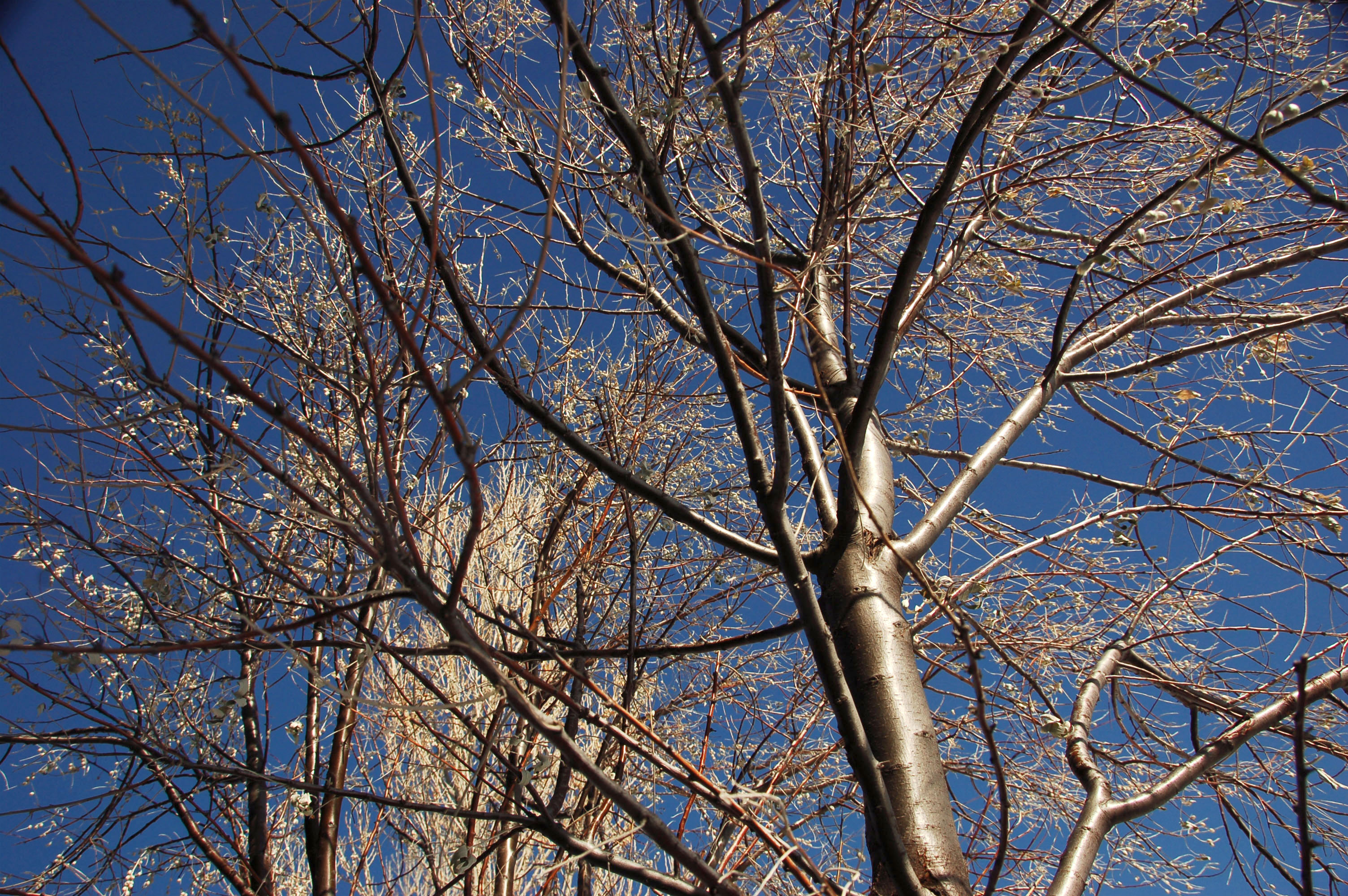
Oddly, not a single bit of snow on the trees.

This one must’ve taken one for the team.

Time to venture out some.

NM-325 is old US-64 heading past Capulin Volcano.
Here, old 64 heads through Folsom.
Back at the ranch.

Strange, the snow didn’t shovel itself in our absence.
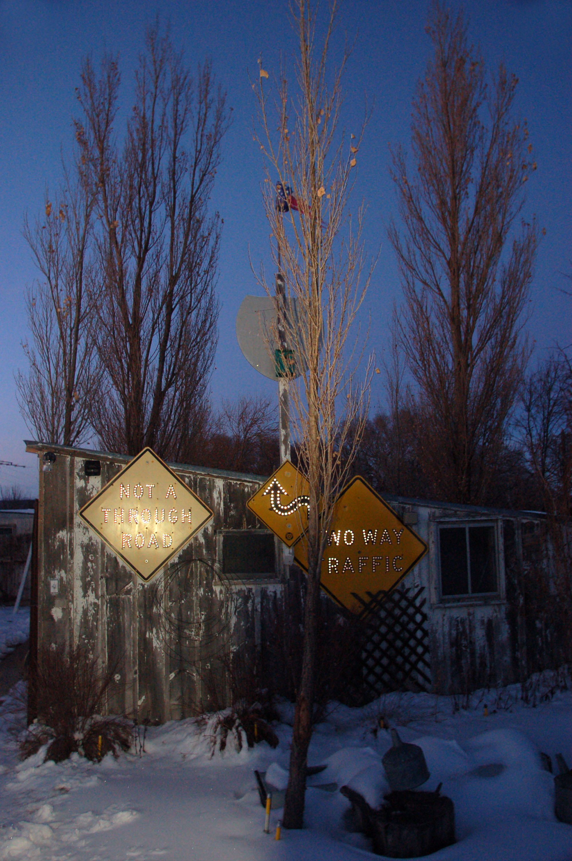
Certainly the best time of day to view old reflectorized signs.
Try not to drive quite so fast through the front yard.

One more view, of house and mortar.

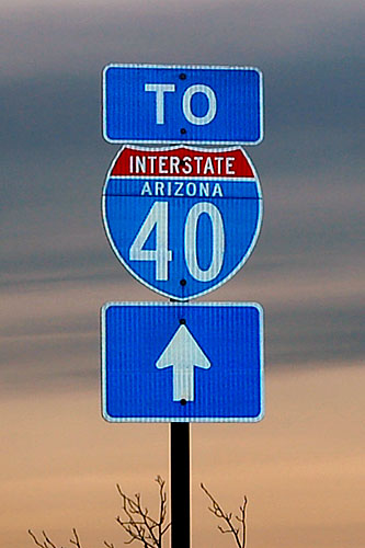
And back home we go. We’re all the way across New Mexico by the time dawn approaches – this is a truck stop on I-40 in Arizona at the US-191 turnoff.
I’m not sure who came up with this, ahem, design concept.

Arizona used some colored loop route shields in the early 2000s, but apparently they suffered from fading problems, so the state abandoned them. There are still a few of them floating around the Phoenix area.
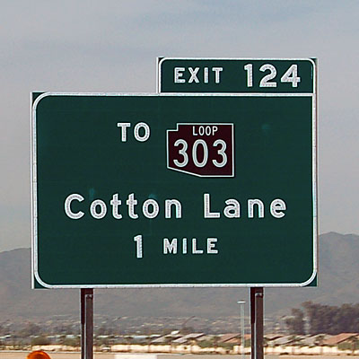
And here is black loop 303. Loop 202 was brown.

This is a horrible photo, but it does show this shield style, which California does not use often.

A view of Chuckwalla Valley Road in Riverside County, which is an old alignment of US-60/70, complete with 1940s style white railing.
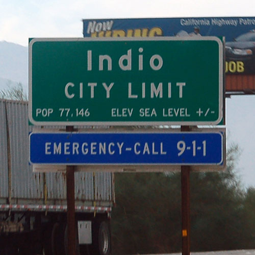
Indio is not content to be precisely at sea level.

A 1930s porcelain Auto Club sign on old US-60/70.
And that wraps up that trip!


Is that Speed Limit 95 sign for real (posted somewhere)?
Just dropping by to say ‘hi’ and to view nature’s eyecandy. As usual, I’m satiated with your shots. You make me feel like jumping in the car and just GOING.
*hugs*
Dovey
just one word for ya: go, go go!
that’s three words. I tend to exaggerate sometimes :)
the 95 sign is posted on Dale’s greenhouse.
the individual digits are button copy, and therefore subject to disassembly. At one point it may or may not have been a somewhat more practical 65mph.
The speed limit in Opelousas is 95 miles per hour… you have to be going downhill though.
would you happen to remember the exact location of the yellow yield sign? i want to prove a friend wrong that a yellow yield sign does exist.
I do not remember exactly where it is. but, plenty do still exit. I suggest a trip to the back roads of McLean, Texas on old 66. as of 2009, there were at least 20 or 30 yellow yield signs there.