
And here we start three days of photos from Alberta and Northwest Territories. I flew into Edmonton for the weekend (Friday-Sunday) of September 9th, as that is one of two annual peaks for the northern lights.
Did I see the northern lights? In the interest of maintaining suspense, I’m not going to say quite yet.
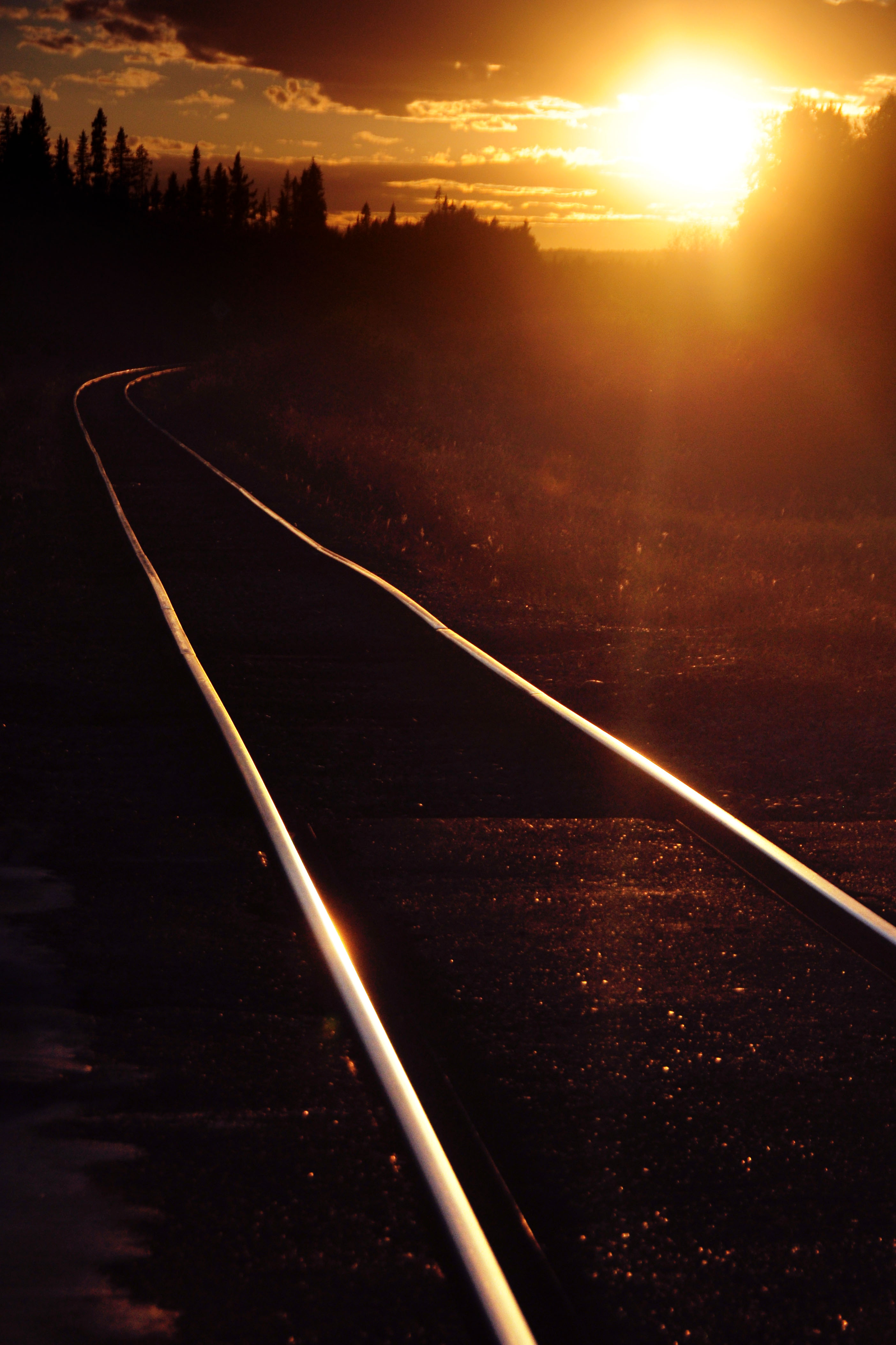
Sunset. Usually shooting directly into the sun is a bad idea. Sometimes it isn’t.
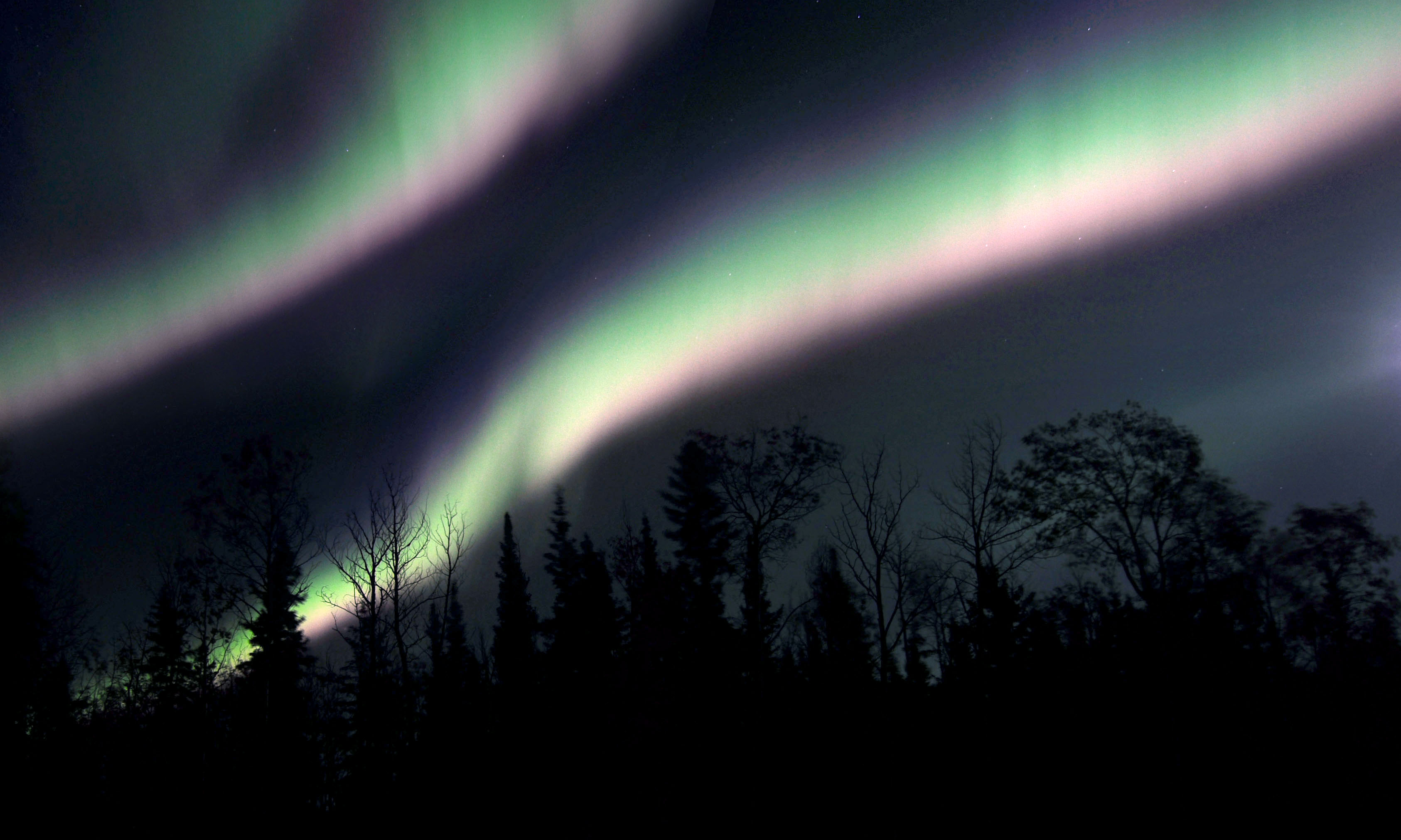
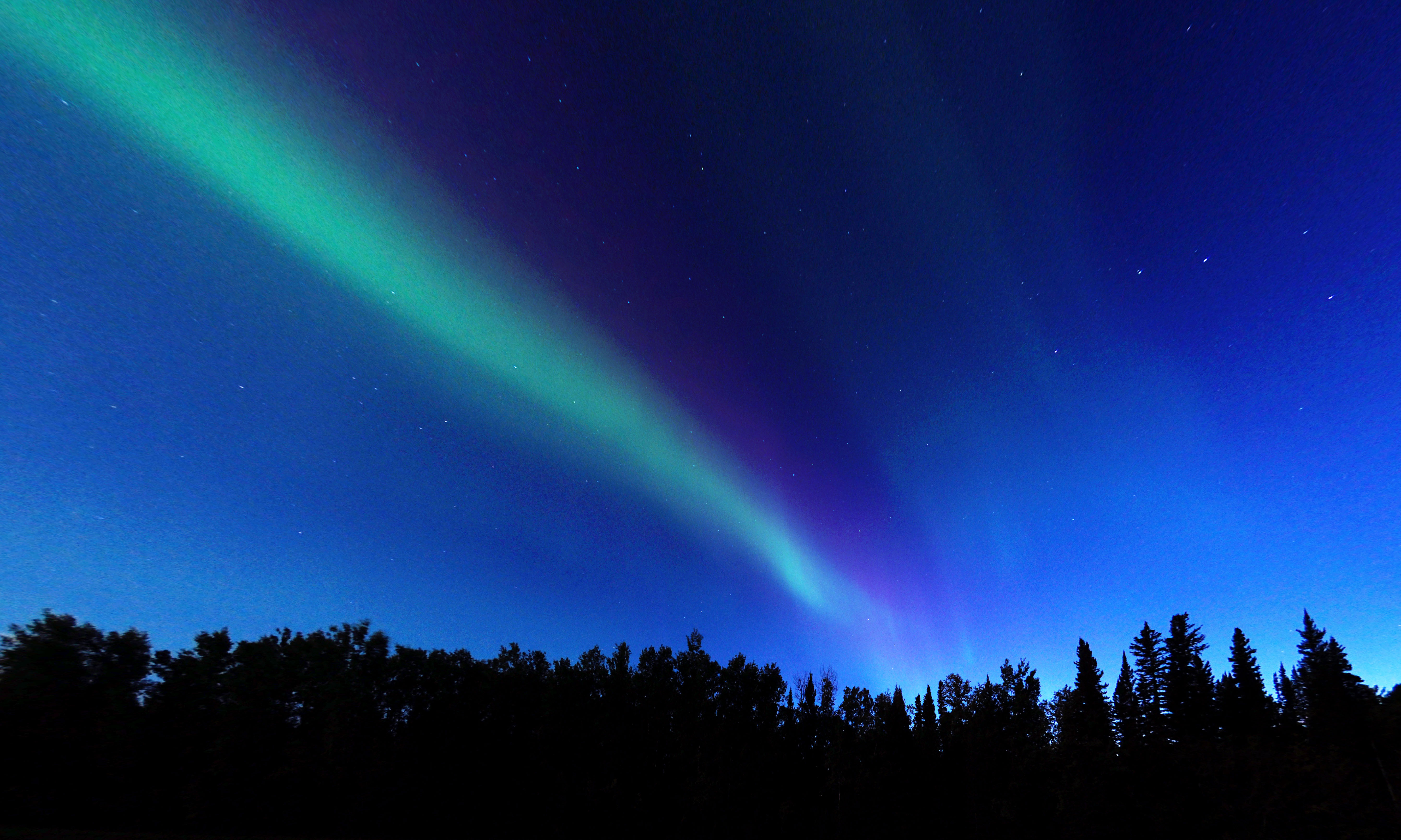
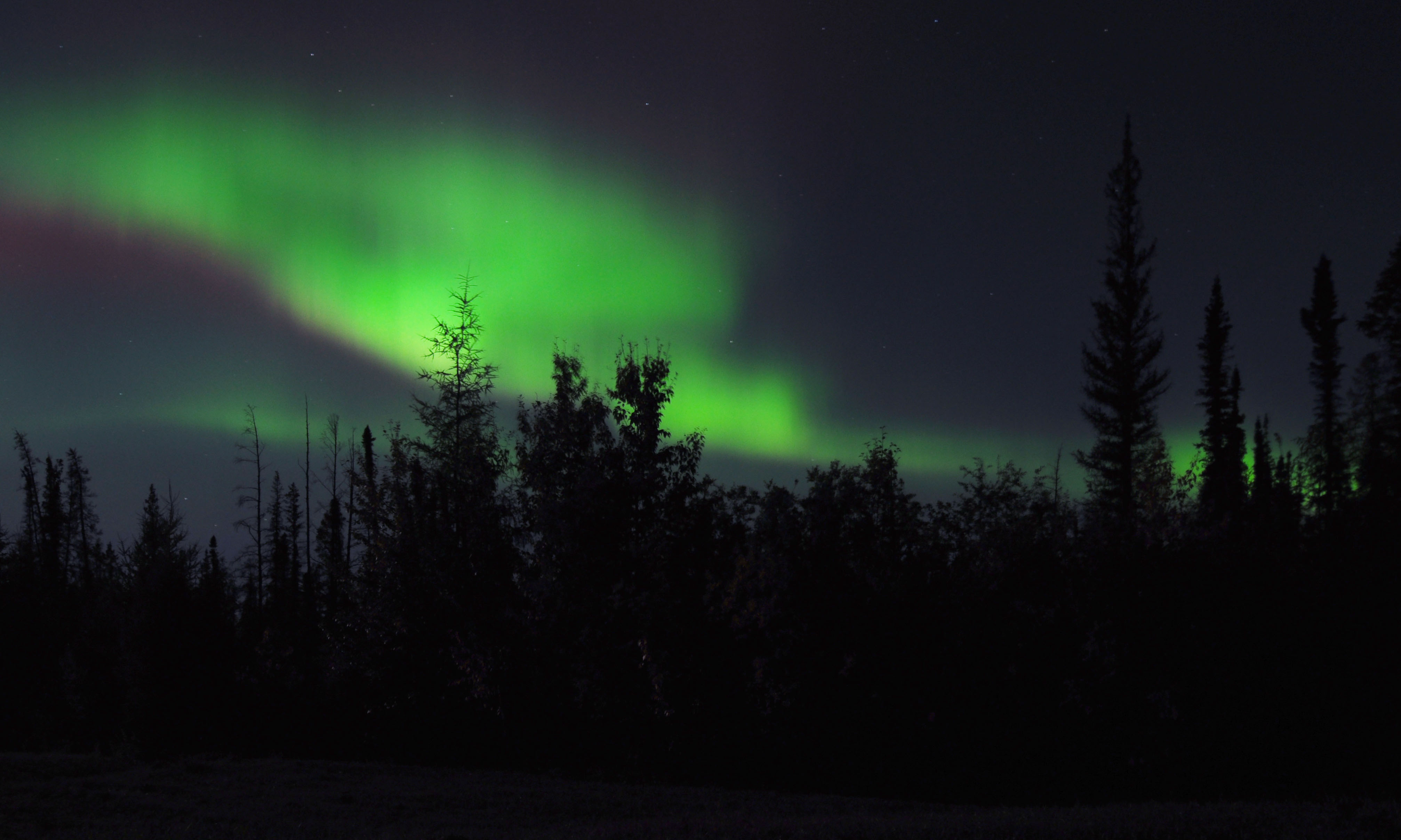
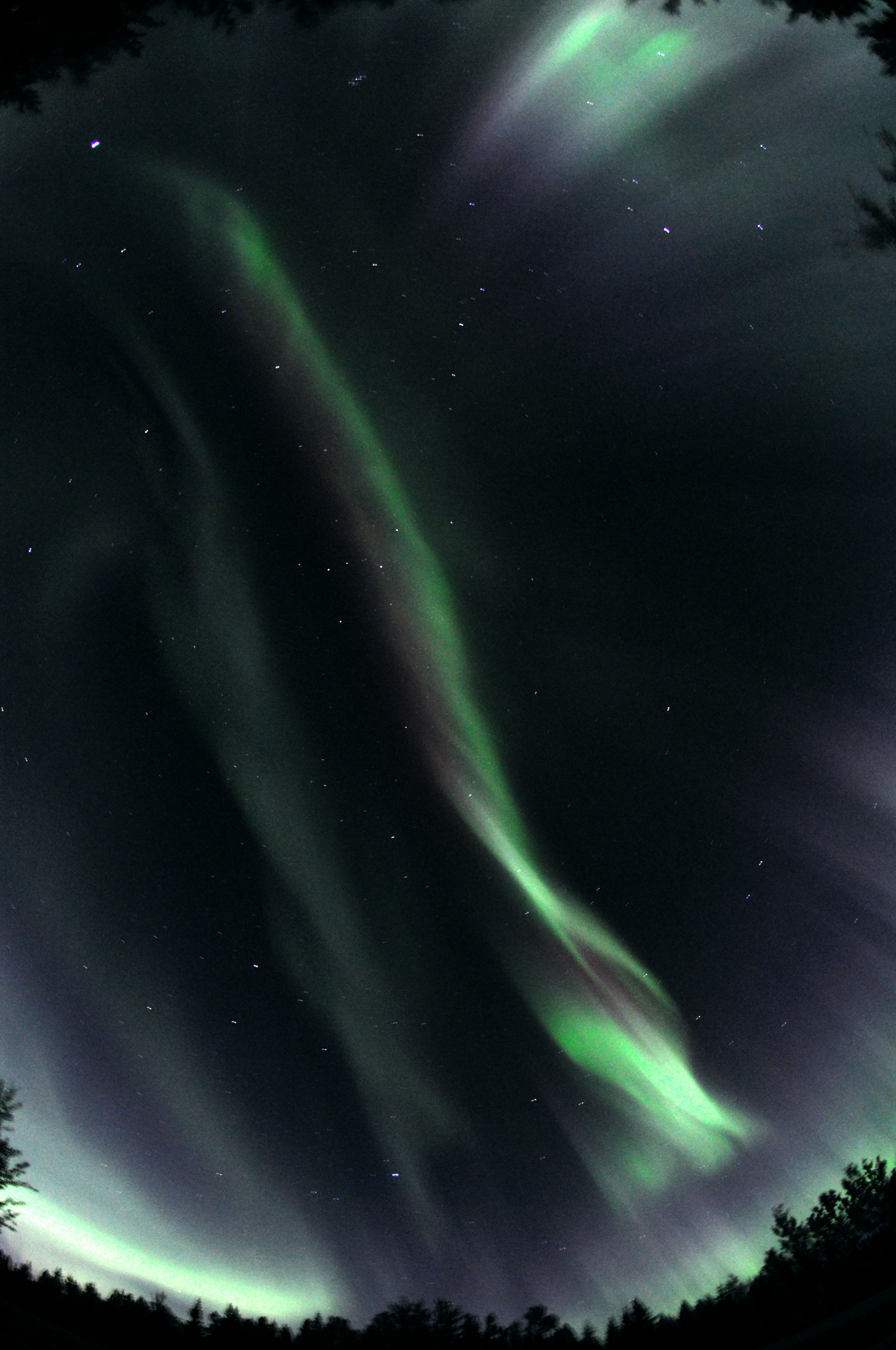
The northern lights. Yep, they were out. This is about as bright as they get – when the red, purple, and green mix together to form a band of white.
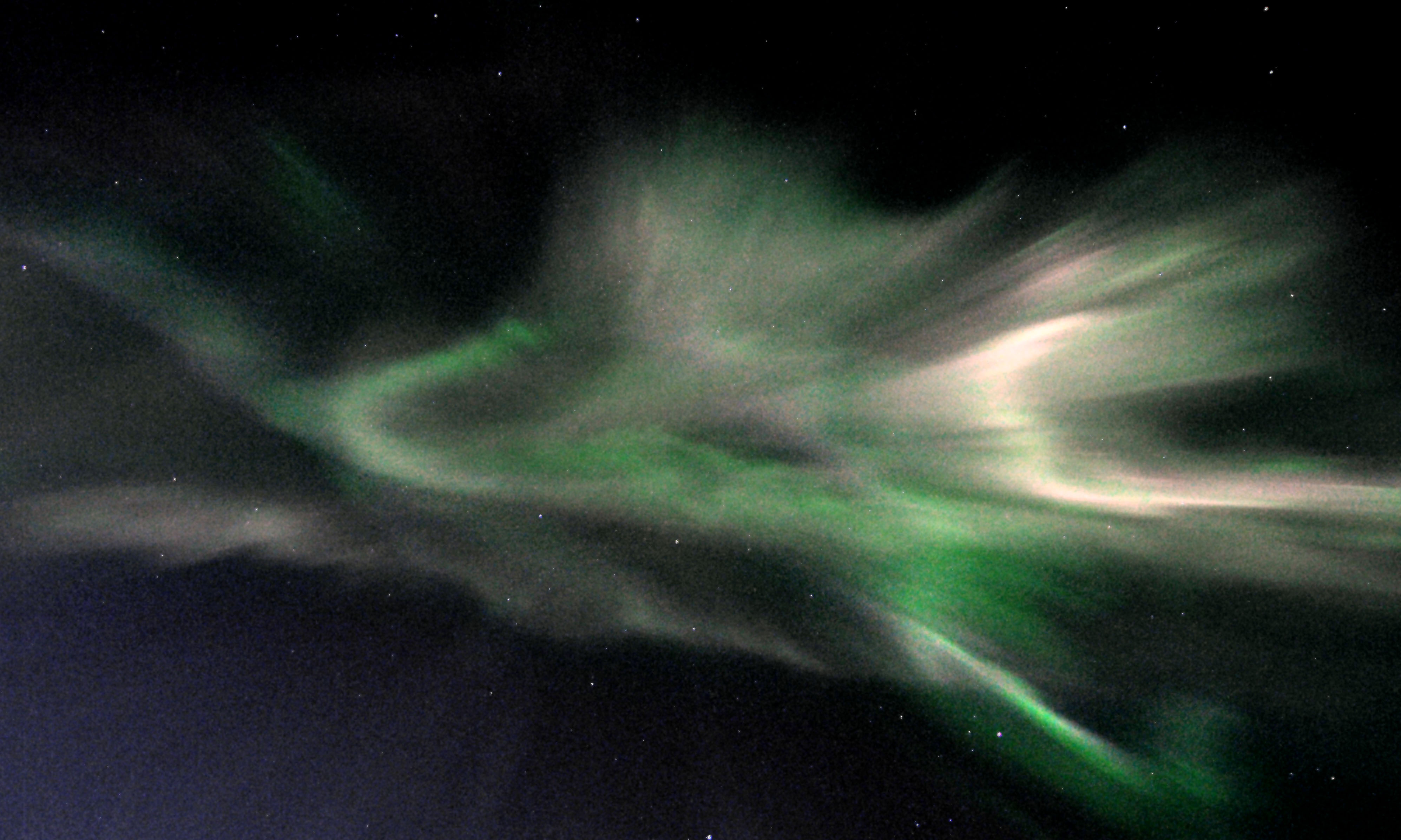
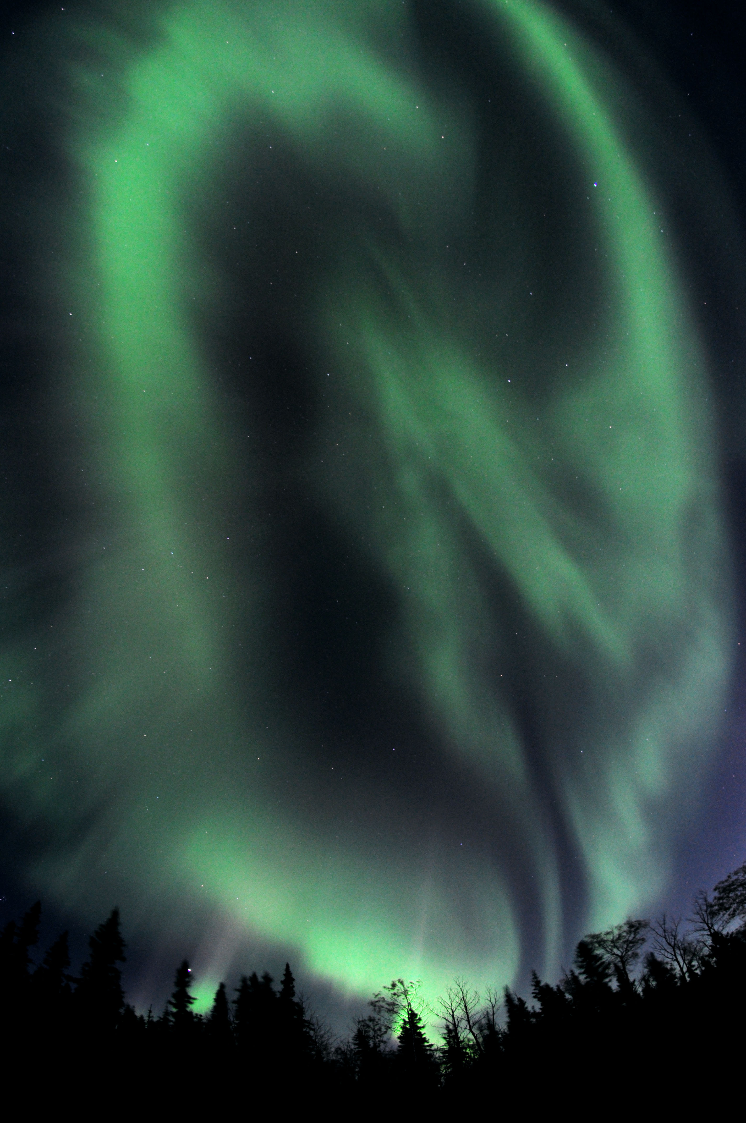
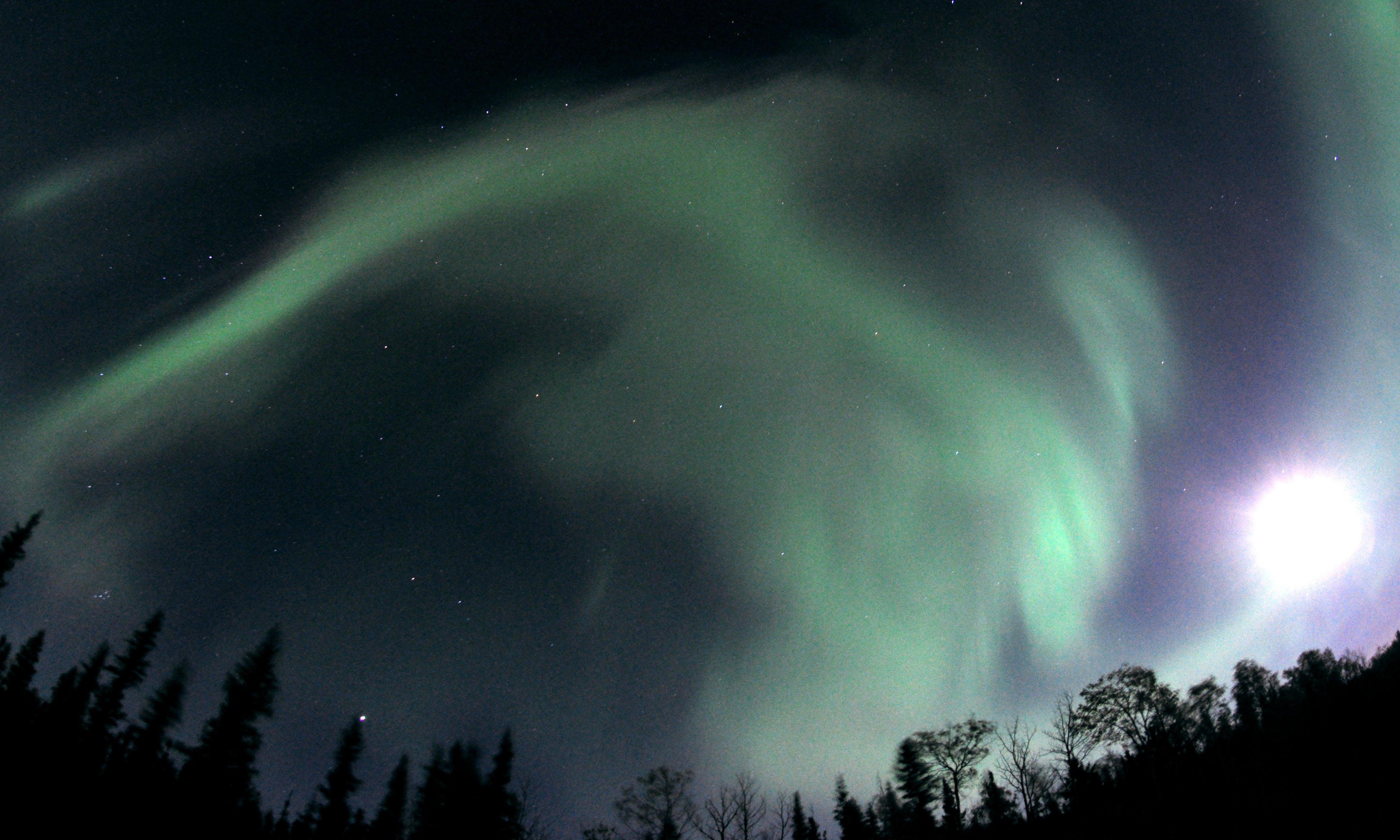
Directly overhead, spanning the entire sky.
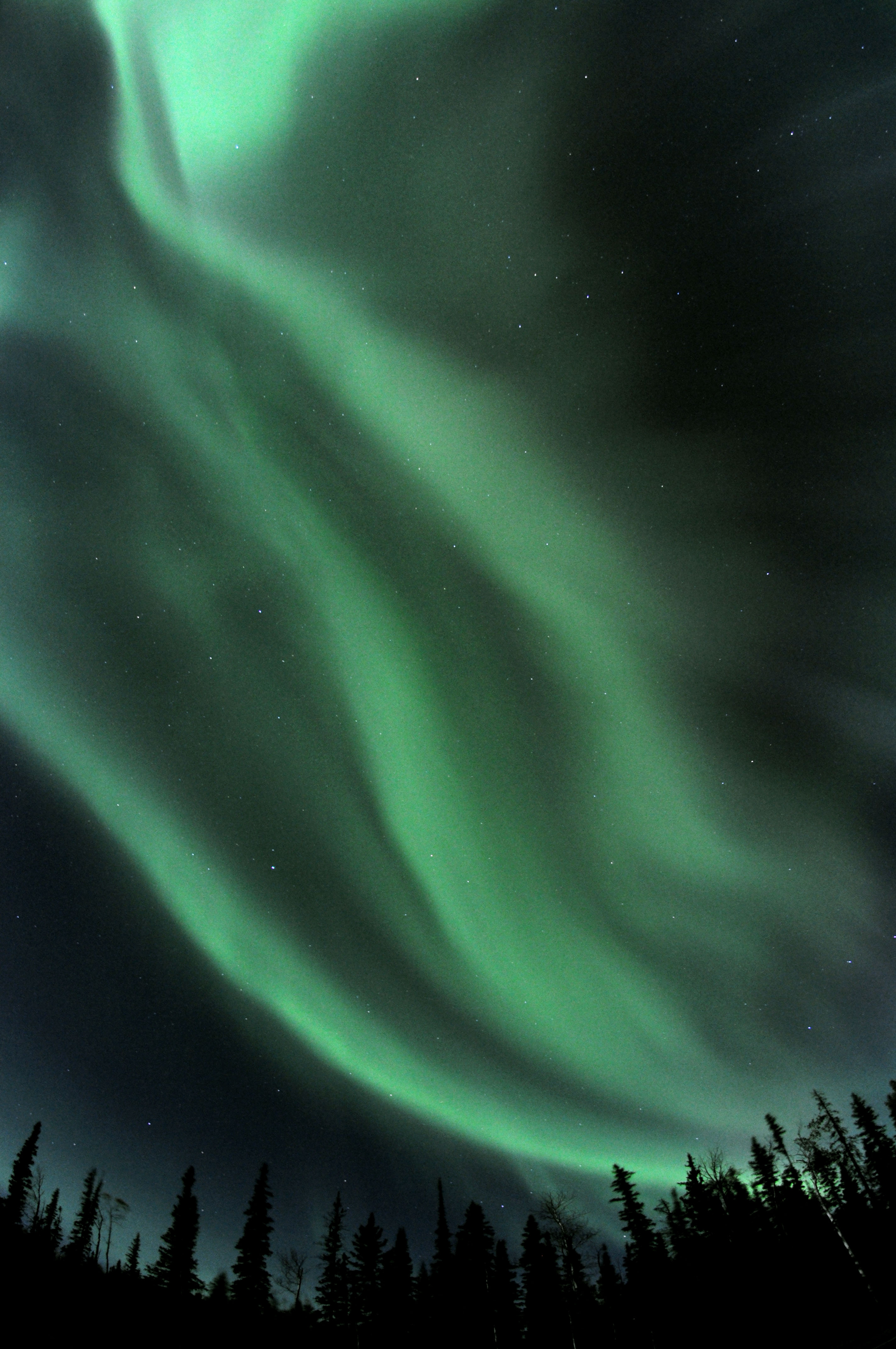
I used the fisheye lens for nearly all of the aurora photos seen here.
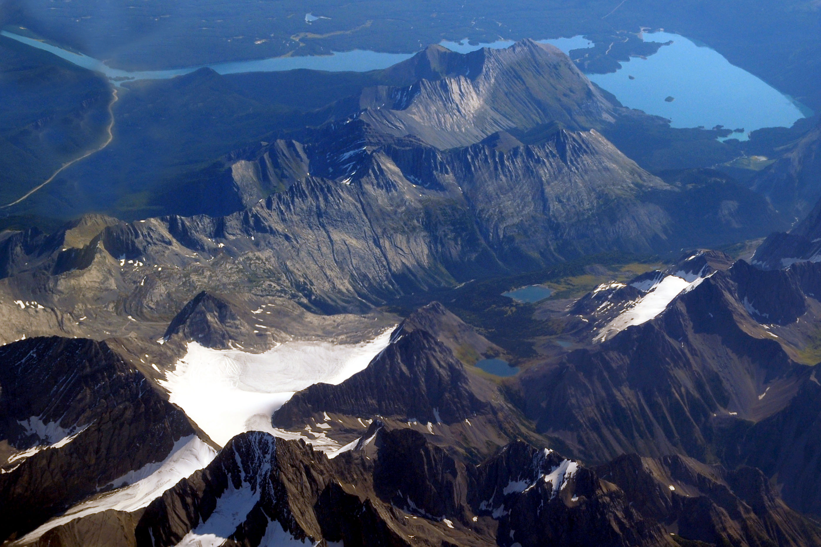
A view from the air. Crossing the Rockies, and I’m not quite sure but I believe that is Glacier National Park. (the one in Montana)
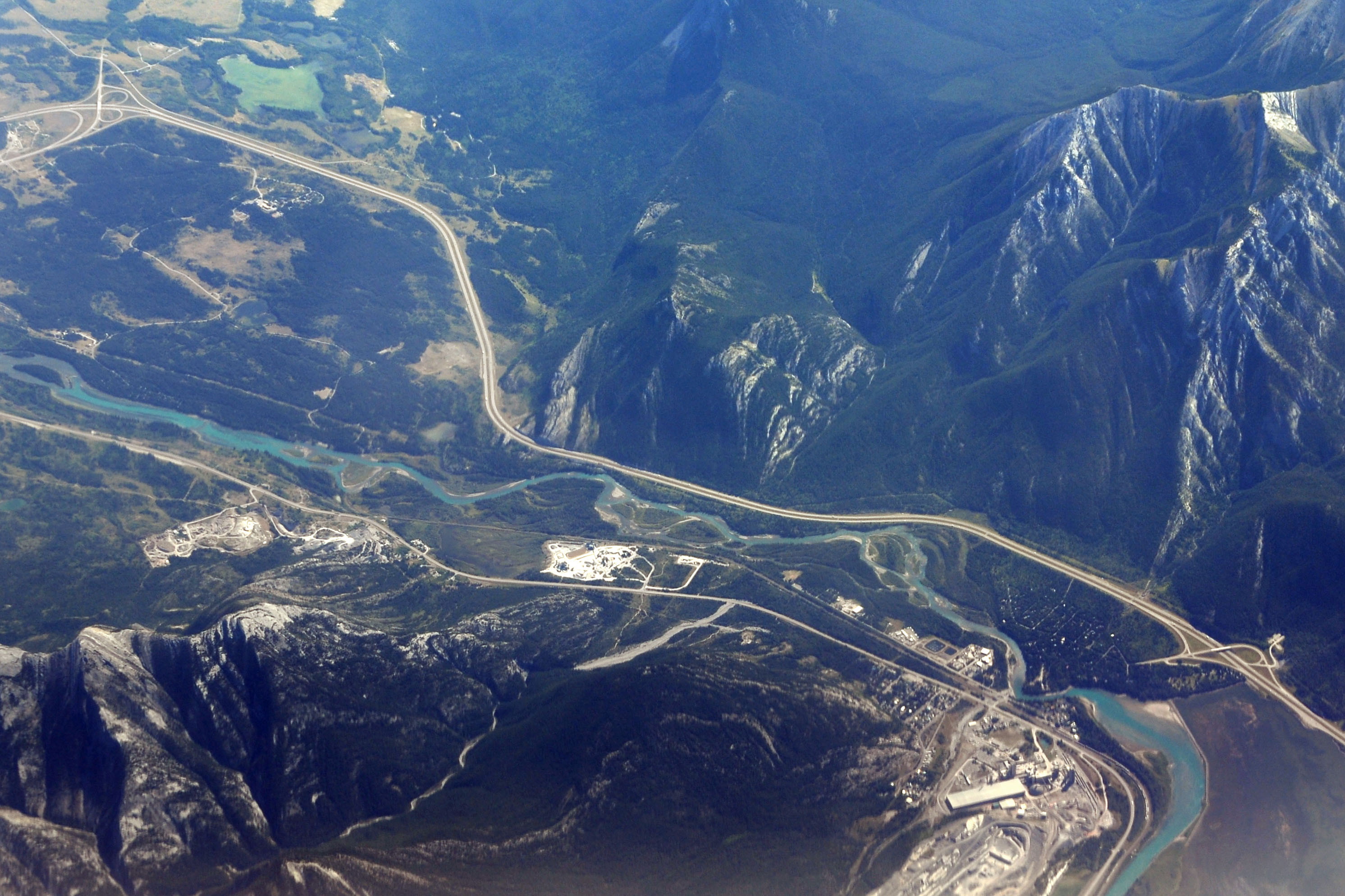
The Trans-Canada highway. The town at lower left is Exshaw, which is well on the way to Banff from Calgary.
And we’re on the ground. Our route takes us up the Mackenzie Highway to Northwest Territories.
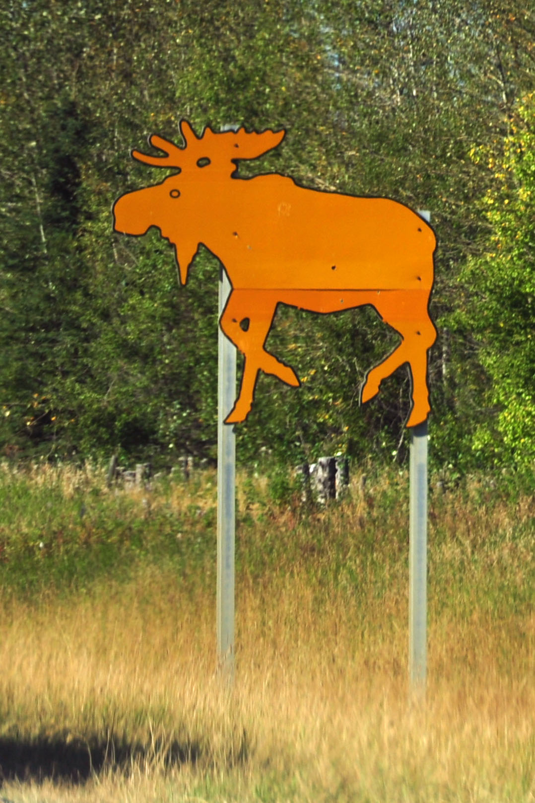
Yes, that is a cutout moose advisory sign!
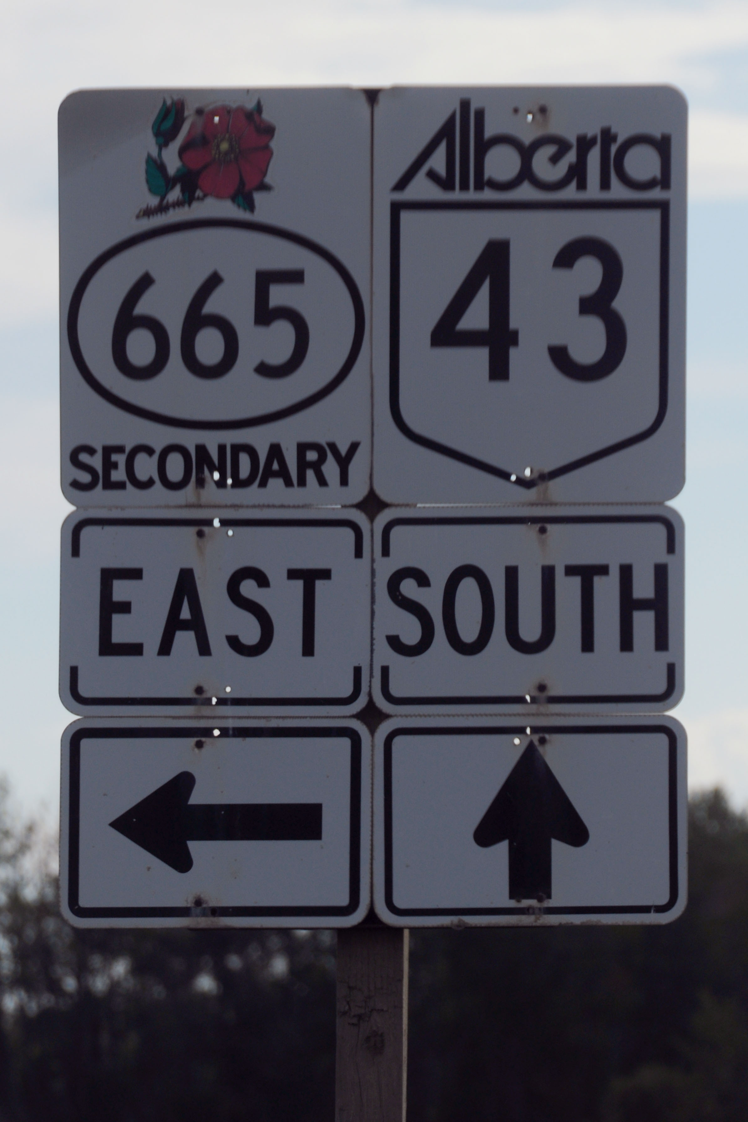
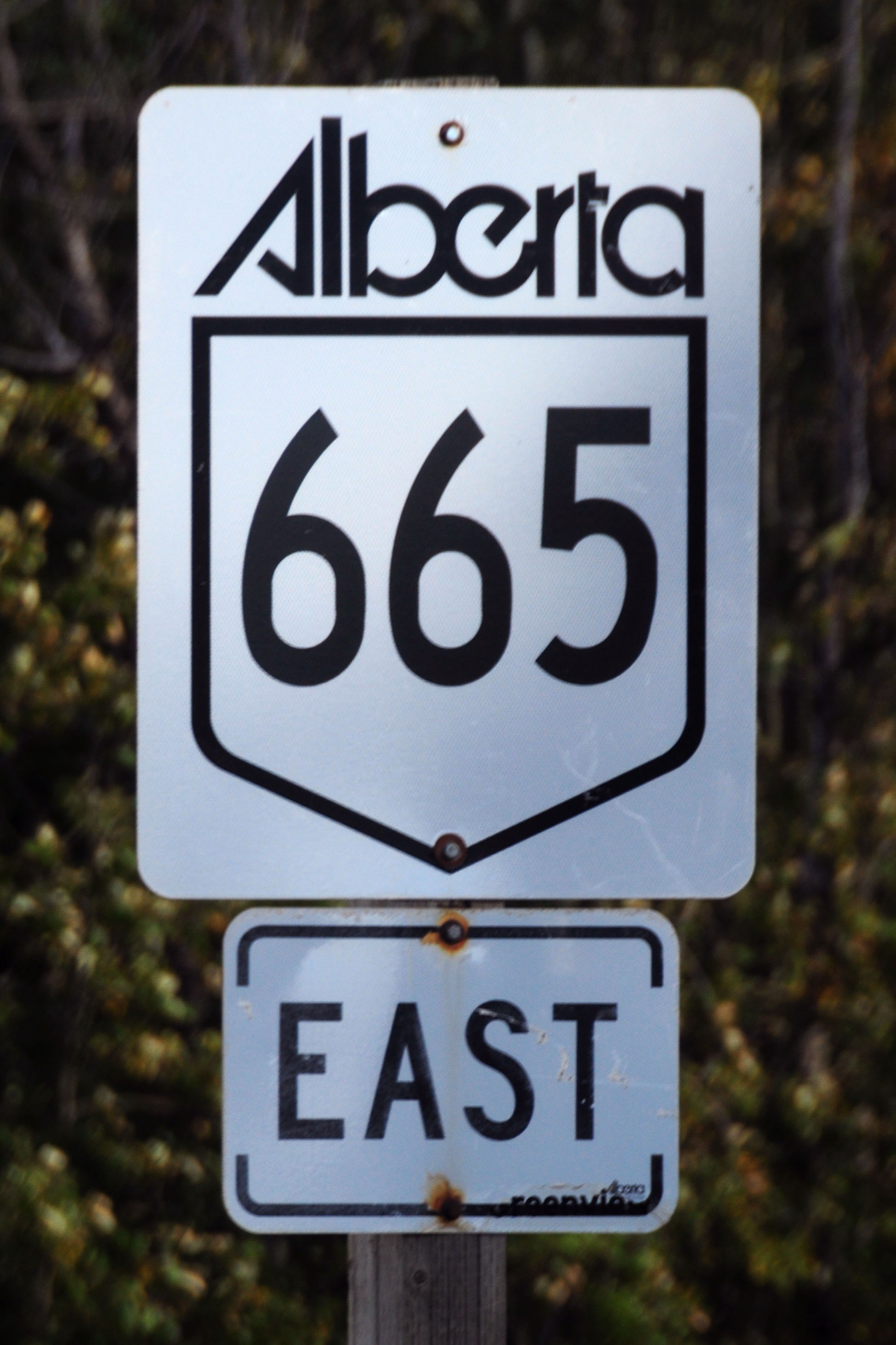
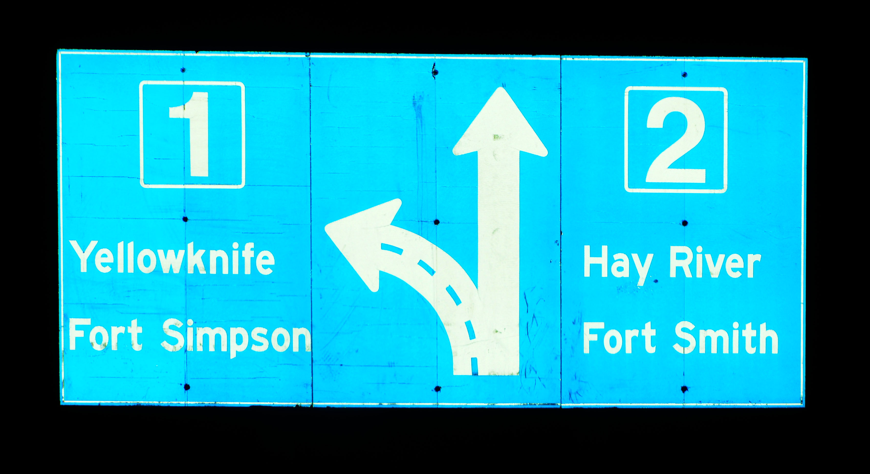
Standard route markers for primary and secondary.
Oops. This is supposed to be a secondary route, not a primary one.
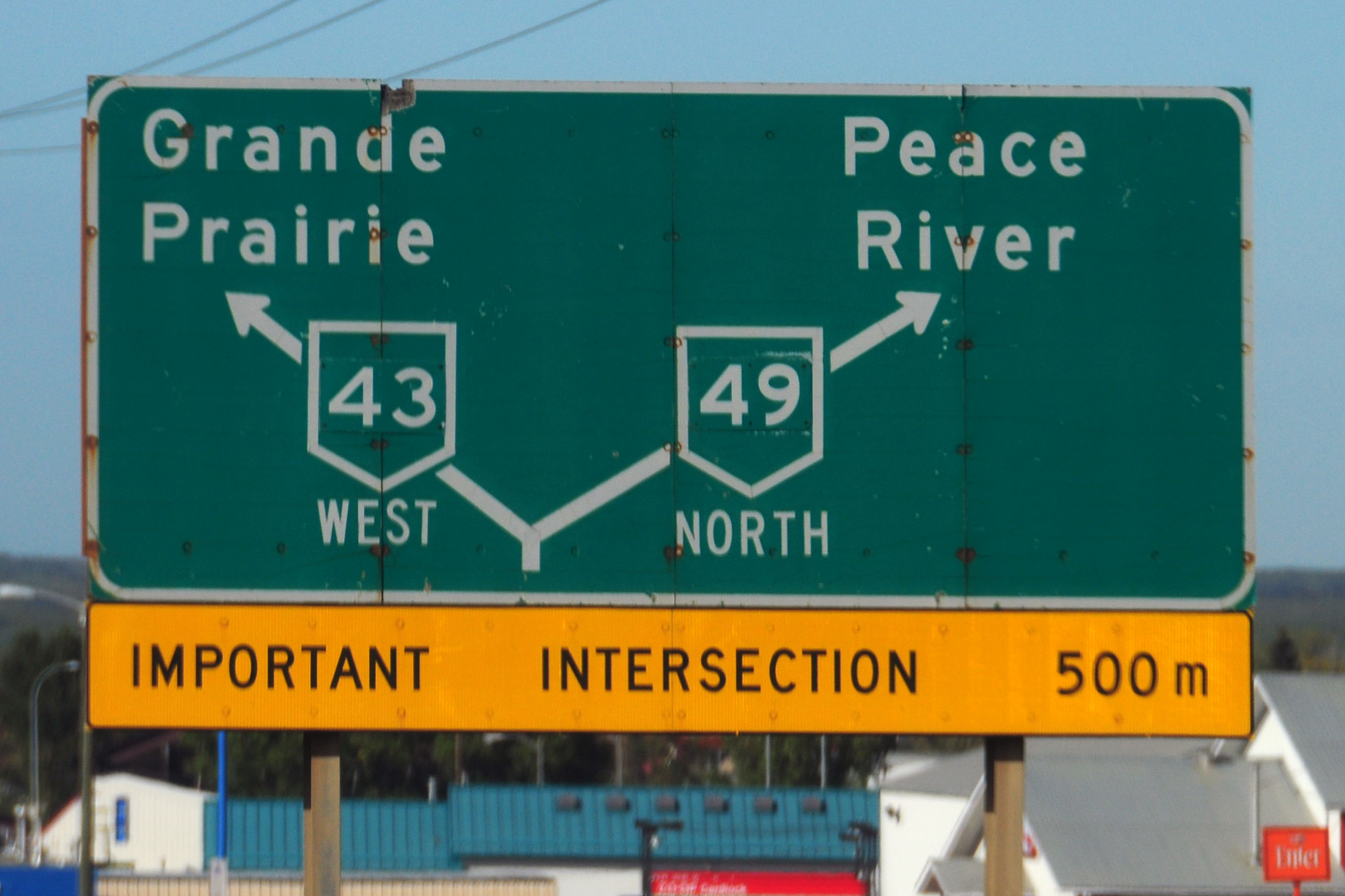
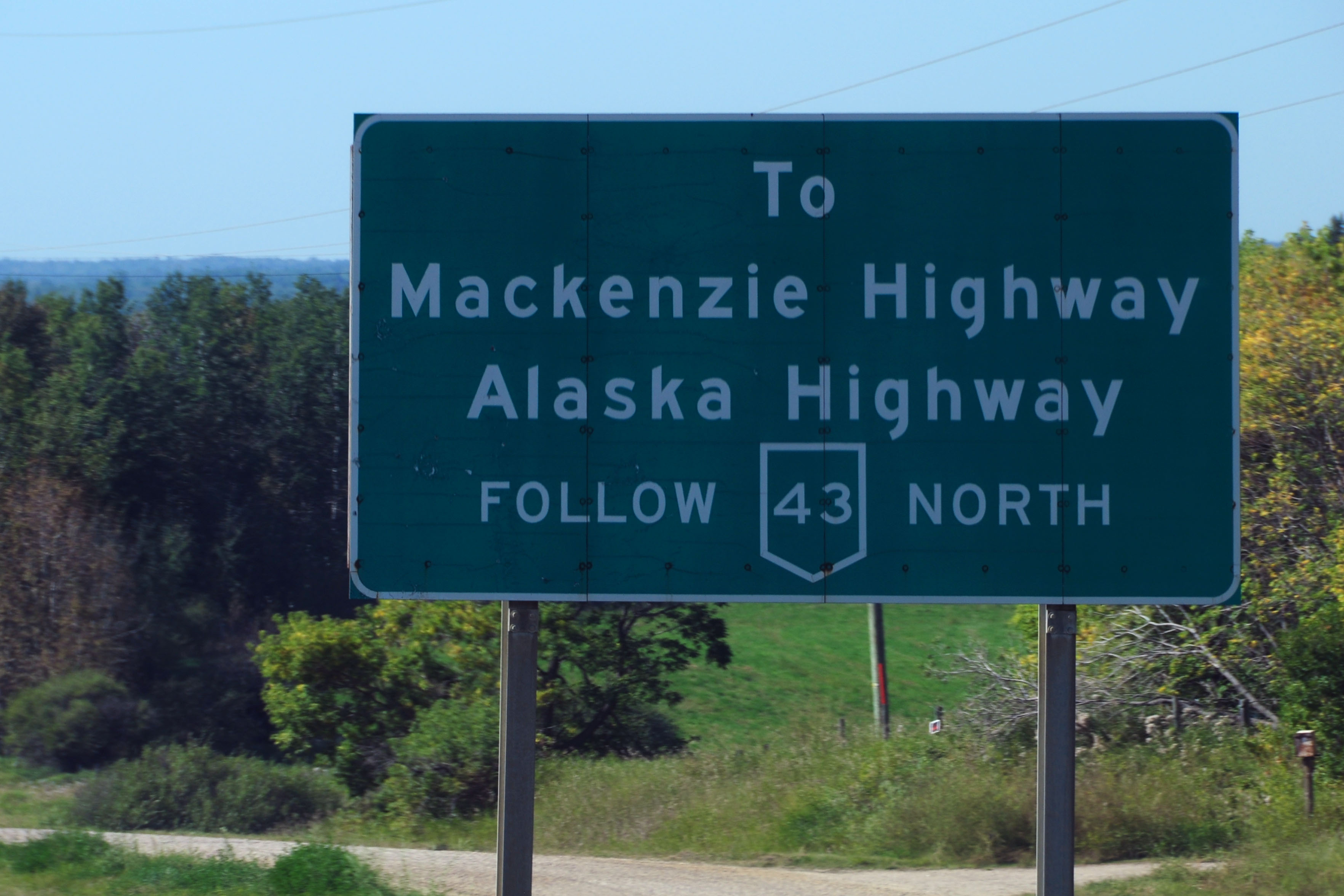
A very important intersection. 43 continues to the Alaska Highway, while 49 goes to the Mackenzie Highway. Interesting that the two numbers are patches. Maybe the numbers were something else before? Without an old Alberta map, I just do not know.
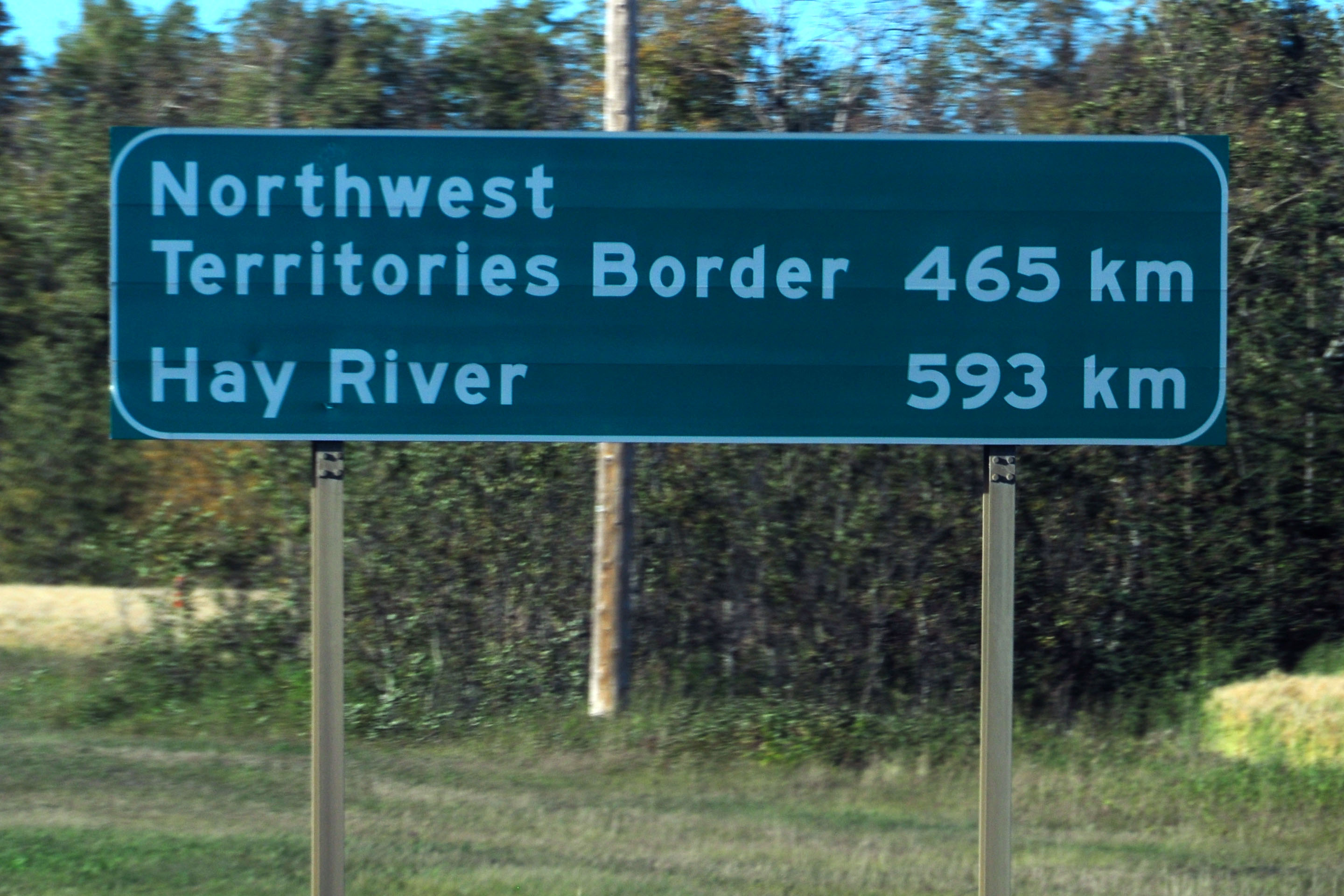
We’ve reached the Mackenzie Highway. I didn’t take many pictures along this stretch, as I was dashing northward as fast as possible to be in viewing position for the northern lights.
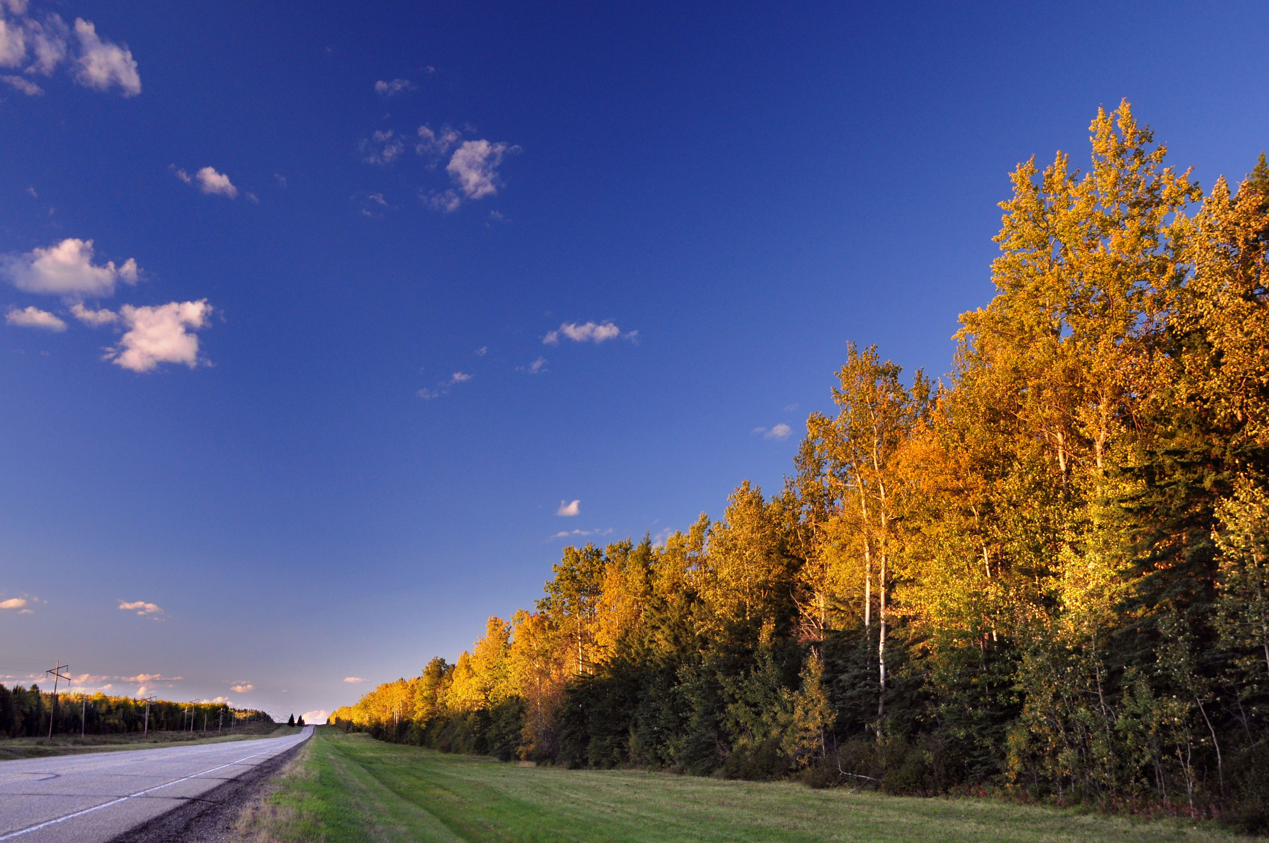
In other news, this is the peak weekend for the leaves changing as well.
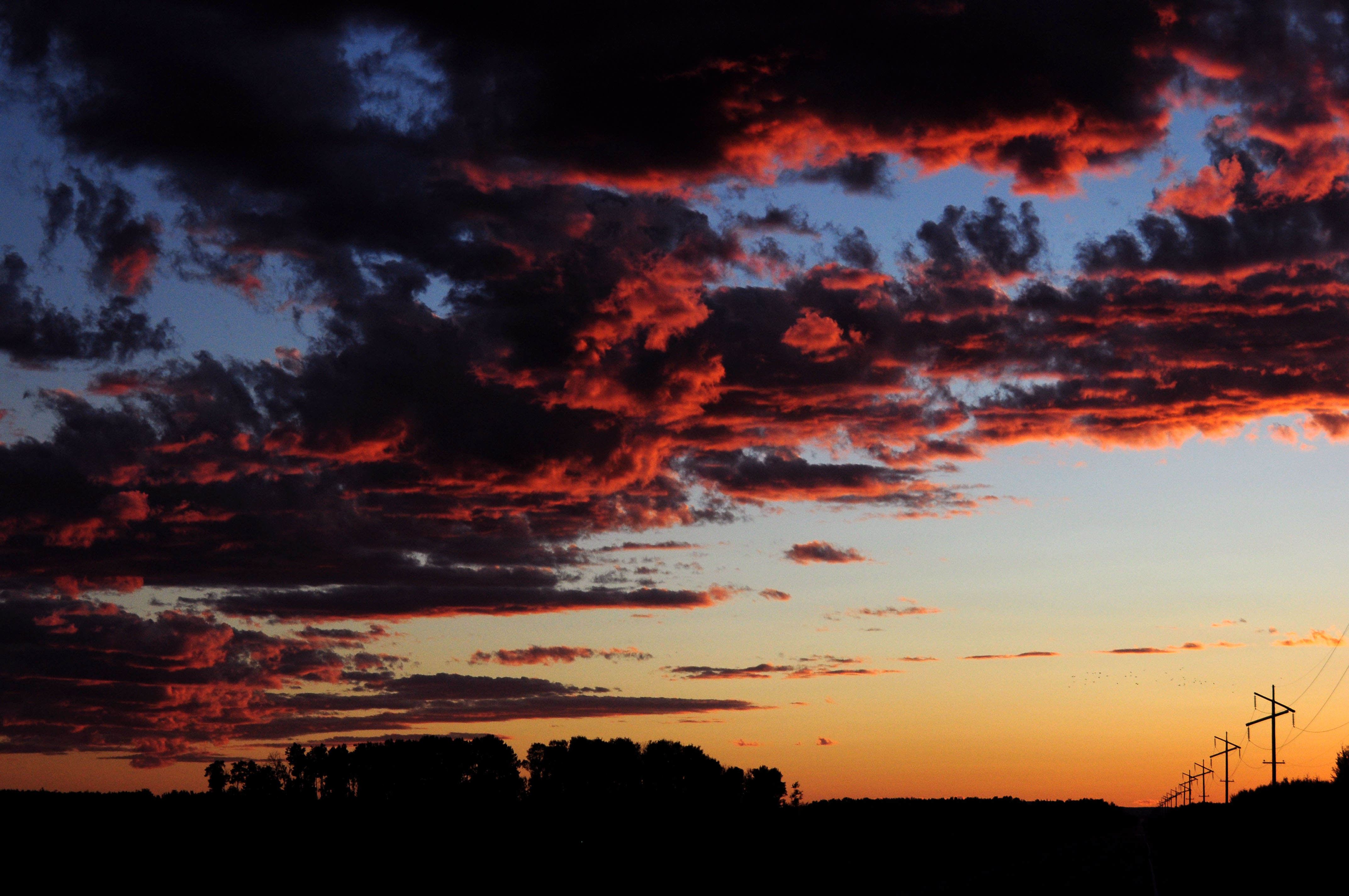
Sunset, looking the opposite direction as the photo I started off with.
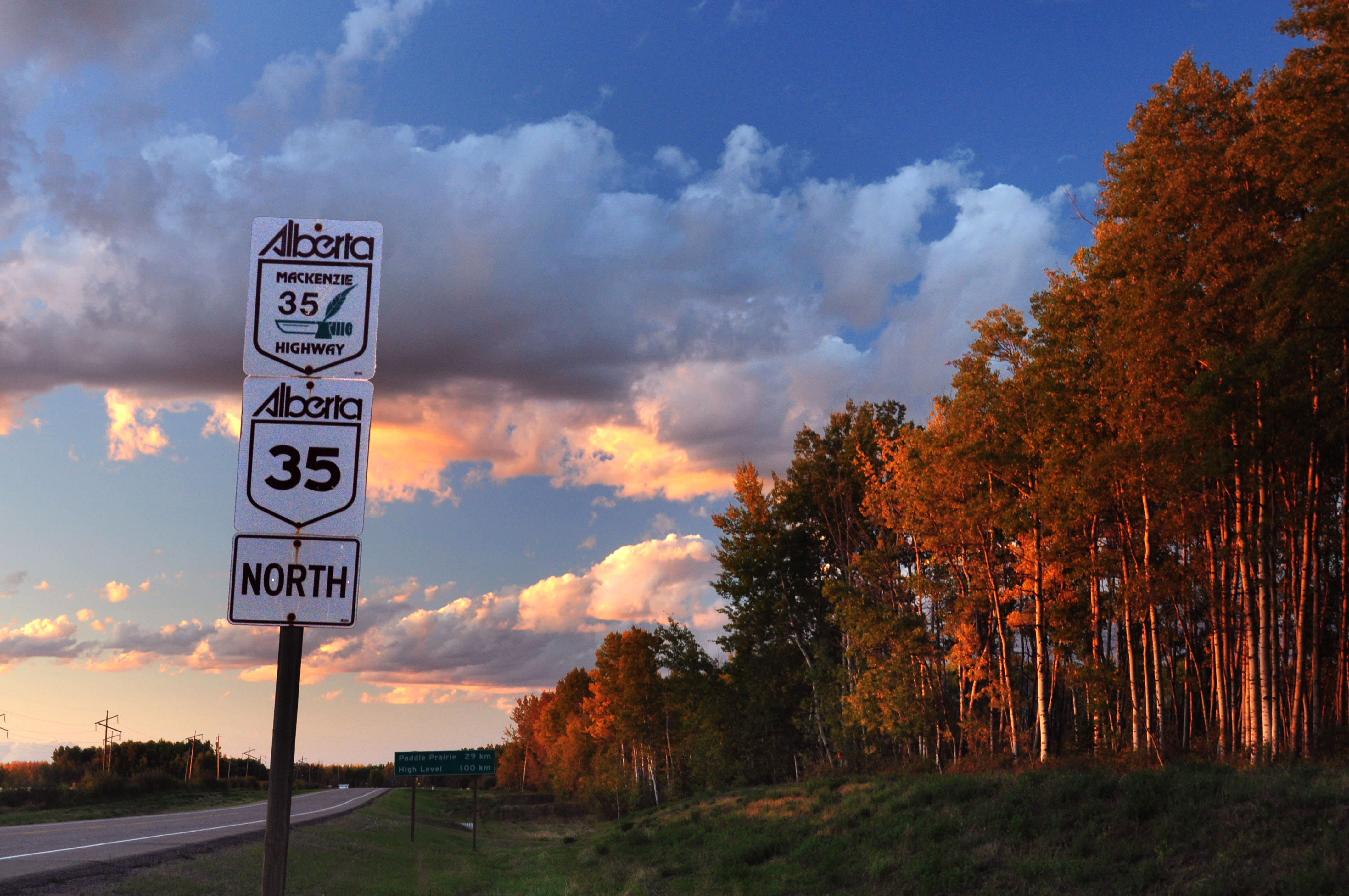
The Mackenzie highway is always given two signs like this.
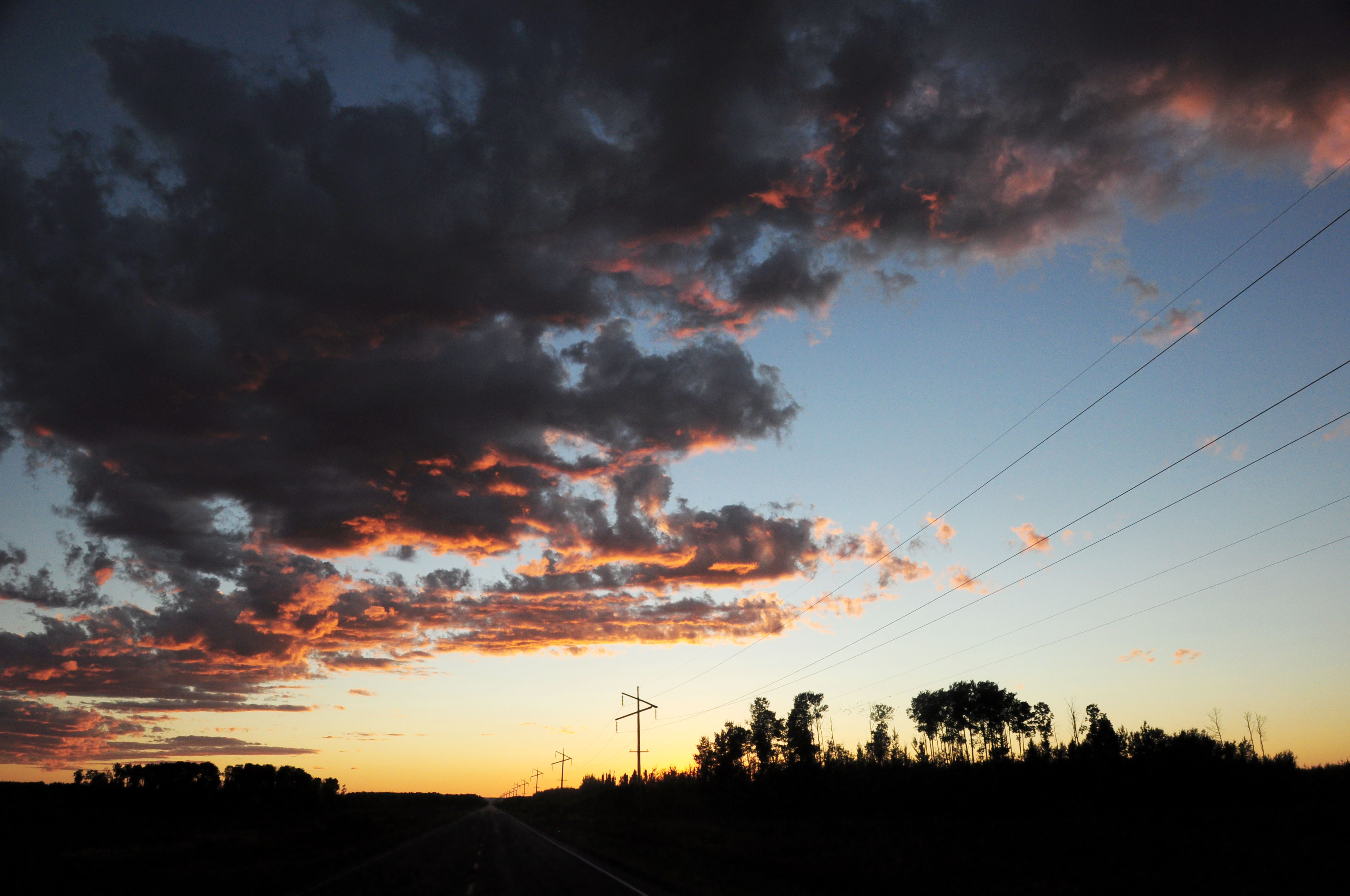
Sunset over a westbound secondary route.
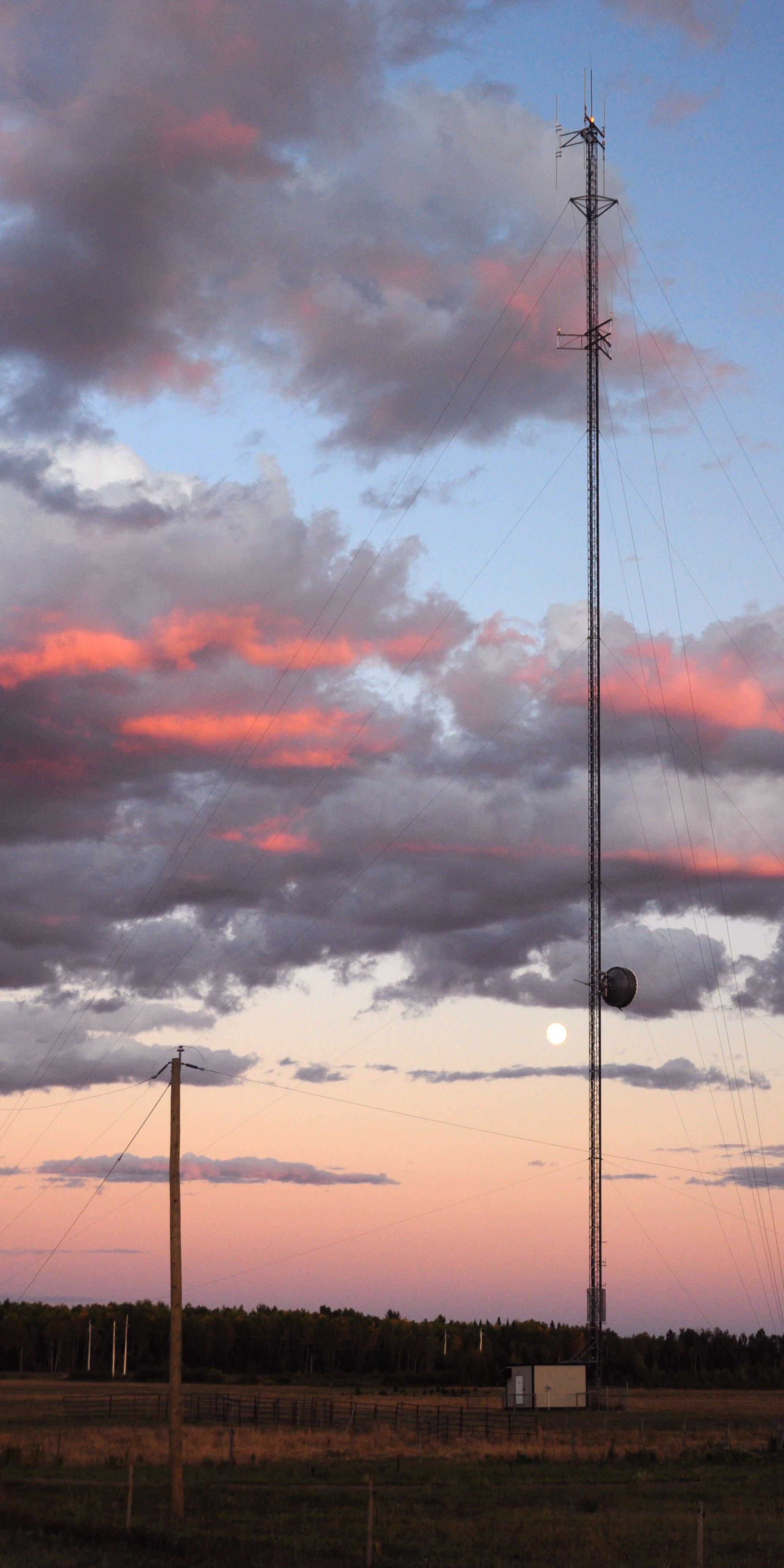
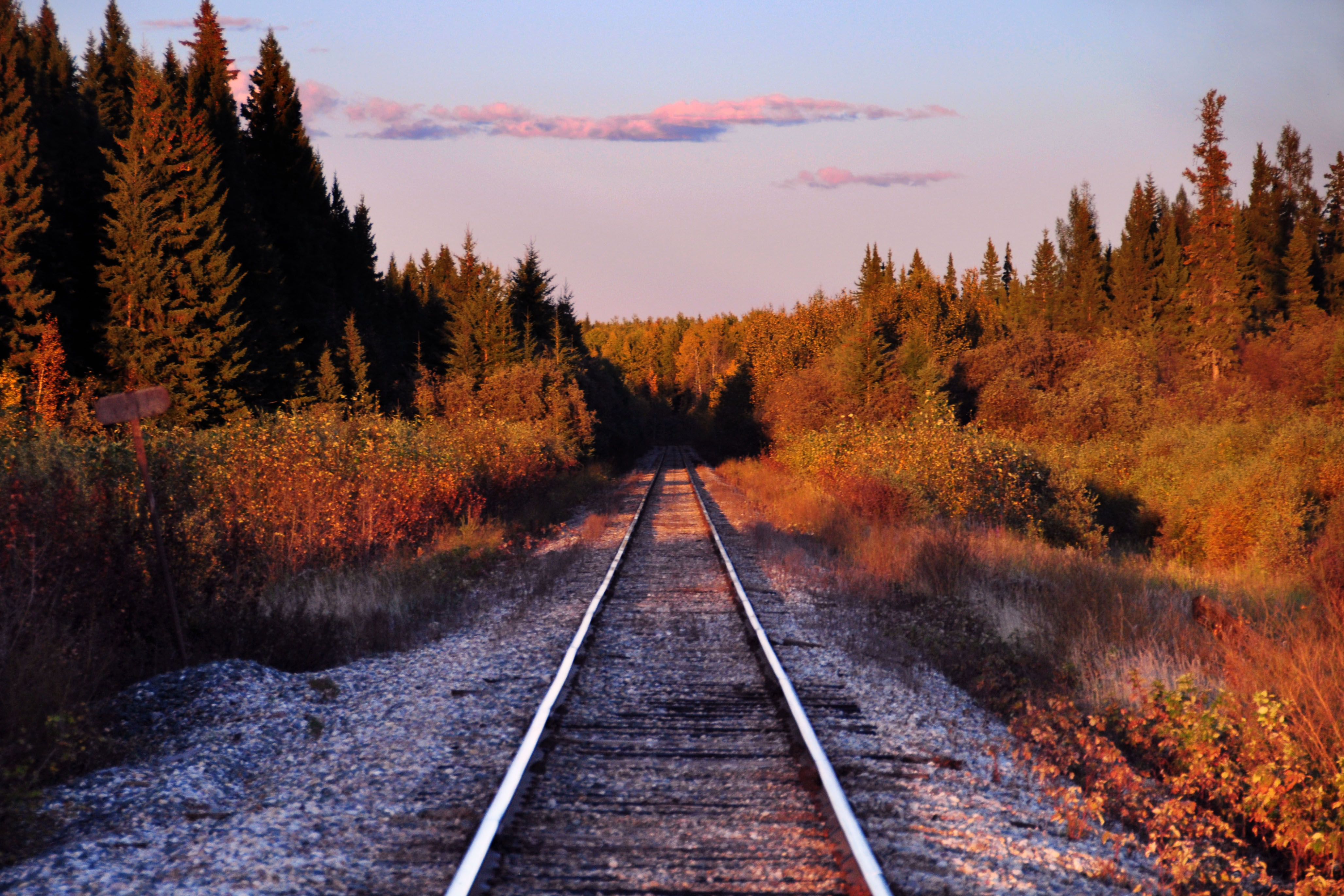
The road’s primary purpose seems to be to service this radio tower.
Getting darker.
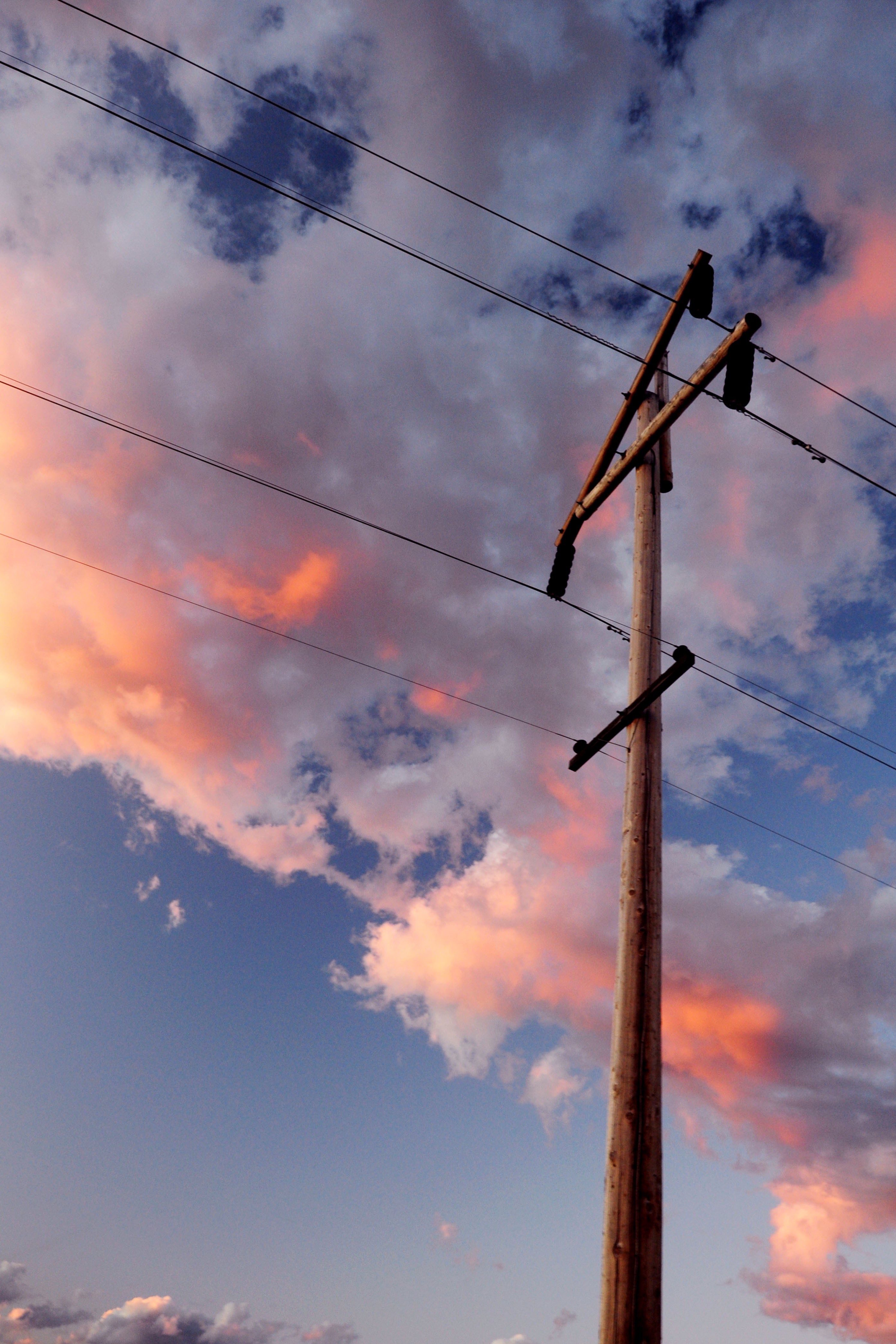
Looking off to the north.
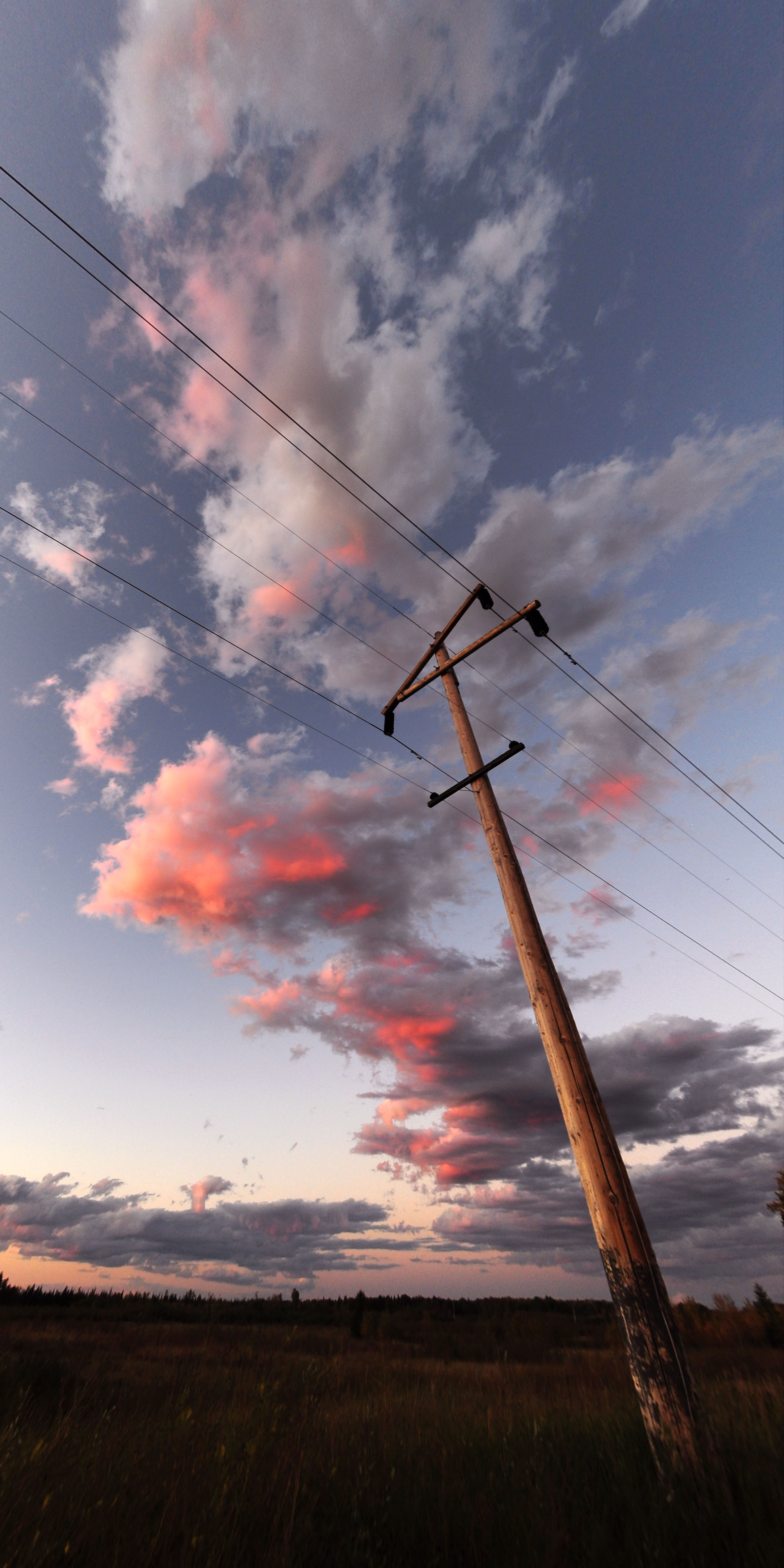
Extremely wide-angle shot exaggerates the mild tilting of this post.
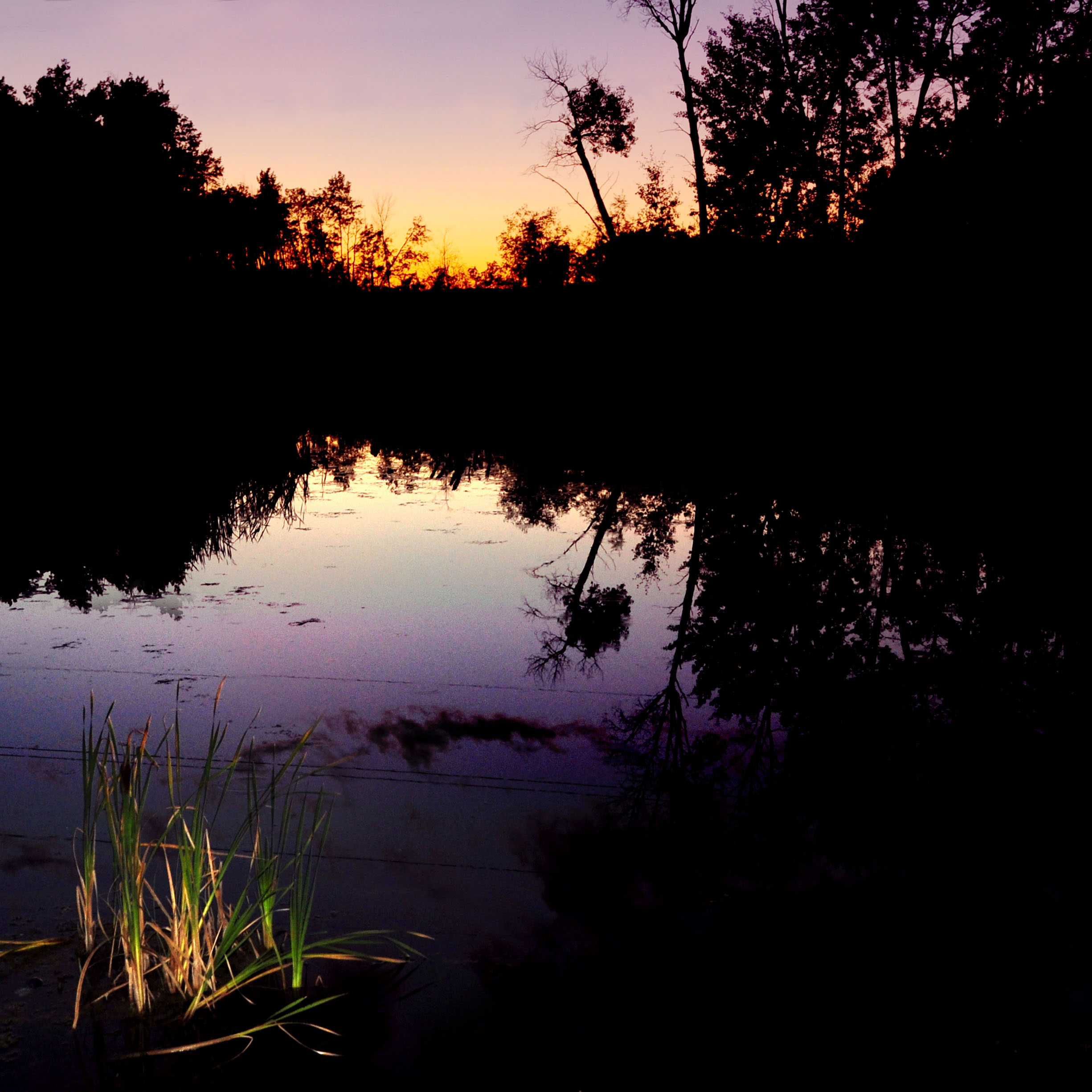
That about does it for sunset.
What do we have here?
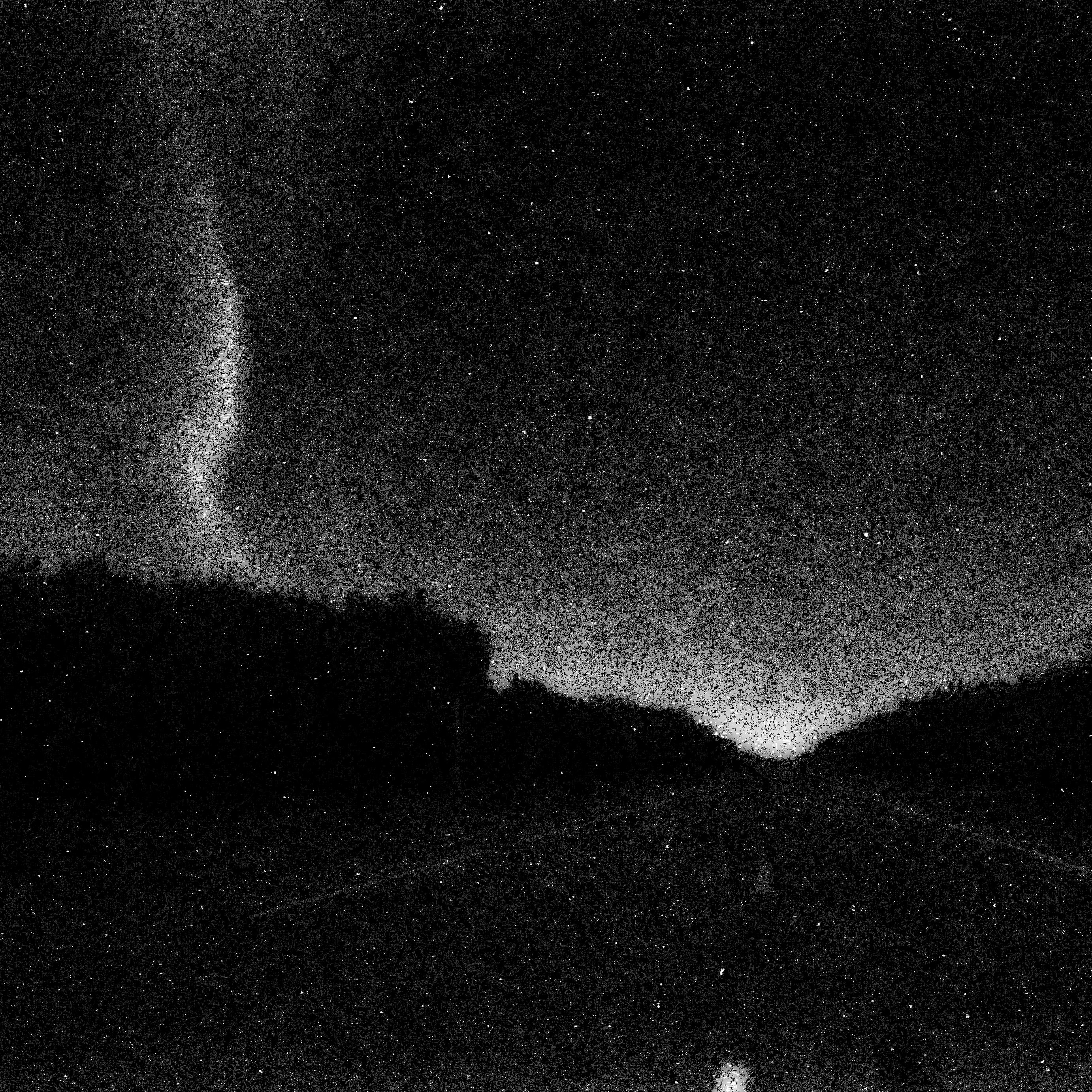
A terrible photo which I had to publish just because it is unintentionally compelling. This is underexposed by what must be 13 or 14 stops, and is stretching the threshold of the CCD’s detecting ability.
This was the intended result.
The lights flared up, and I elegantly blew out the exposure.
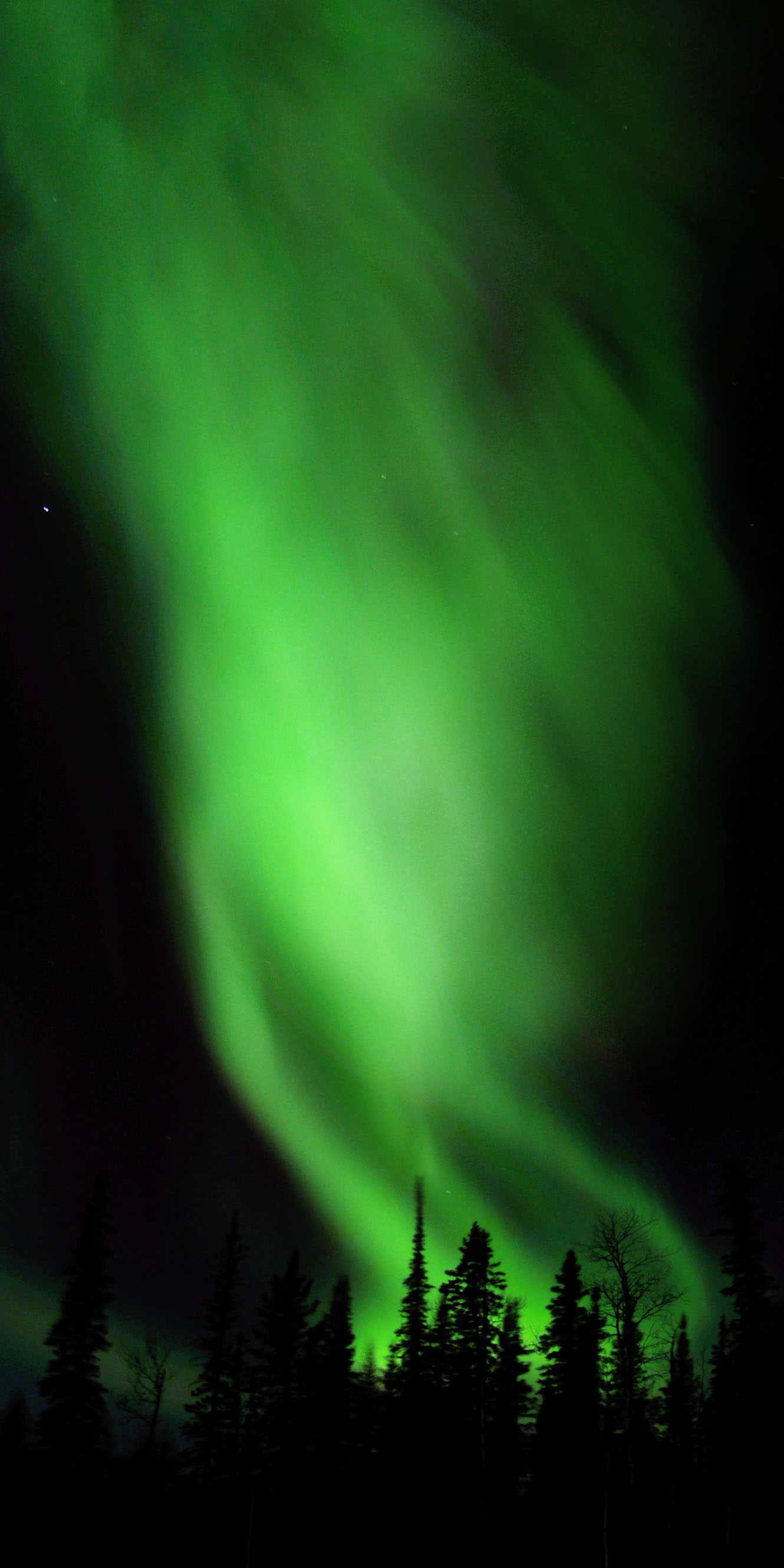
Another long exposure – two minutes or so.
This exposure is maybe five seconds. That is how bright they can suddenly get!
The road heading … south? Yep, we’ve overshot our mark!
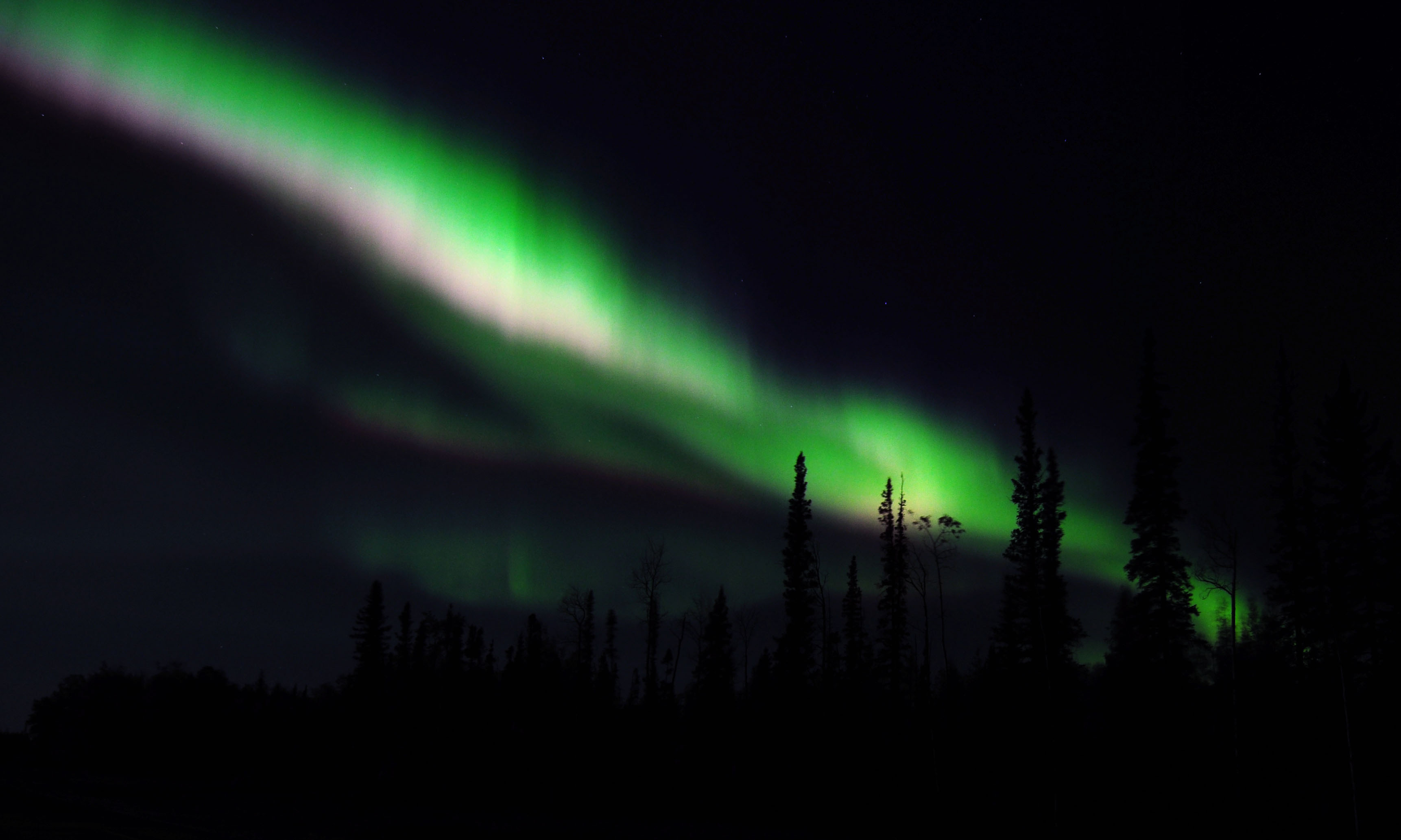
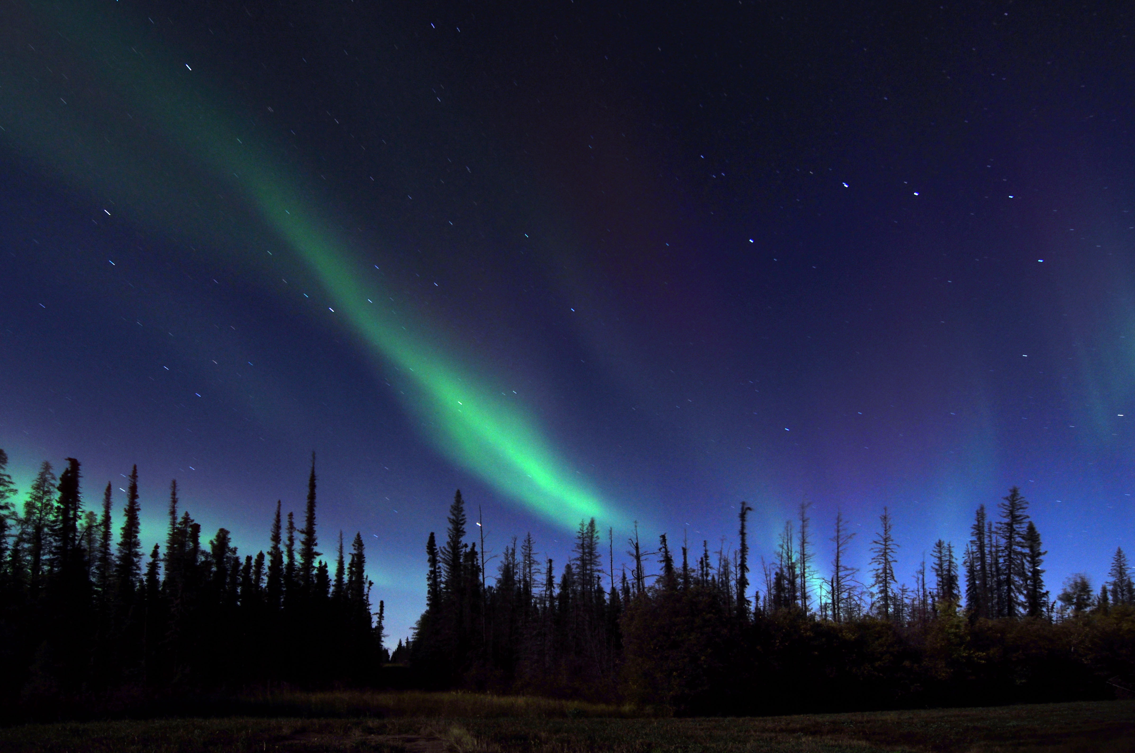
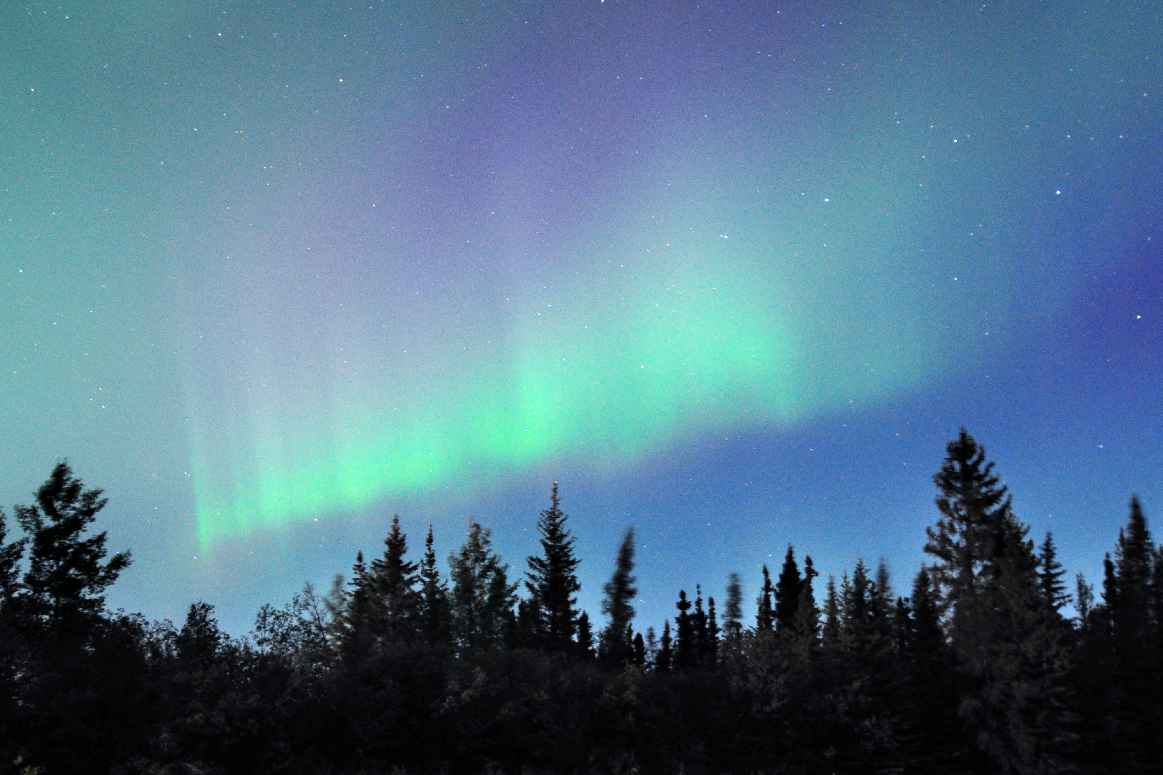
Red mixed in with green.
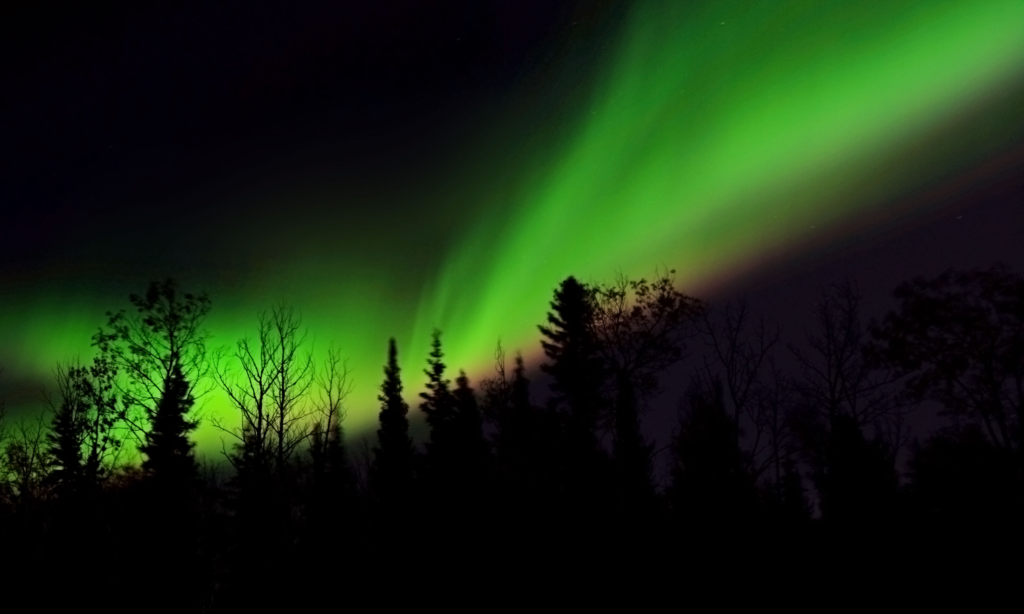
An exposure of moderate length. Wind is causing the trees to blur.
Time to get the fisheye, as it’s coming over the top.
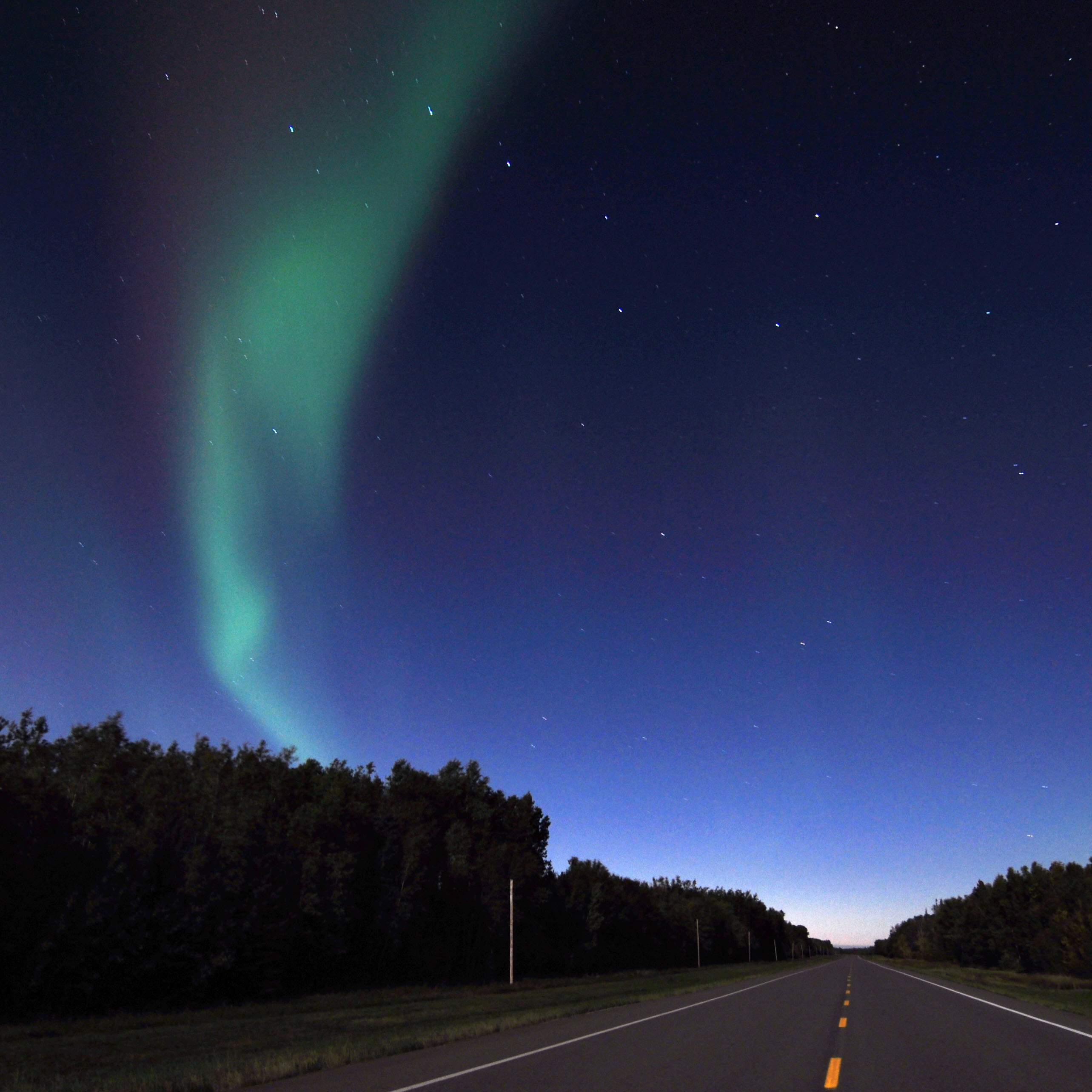
A tower of green.
A very short exposure of the very beginning of a burst.
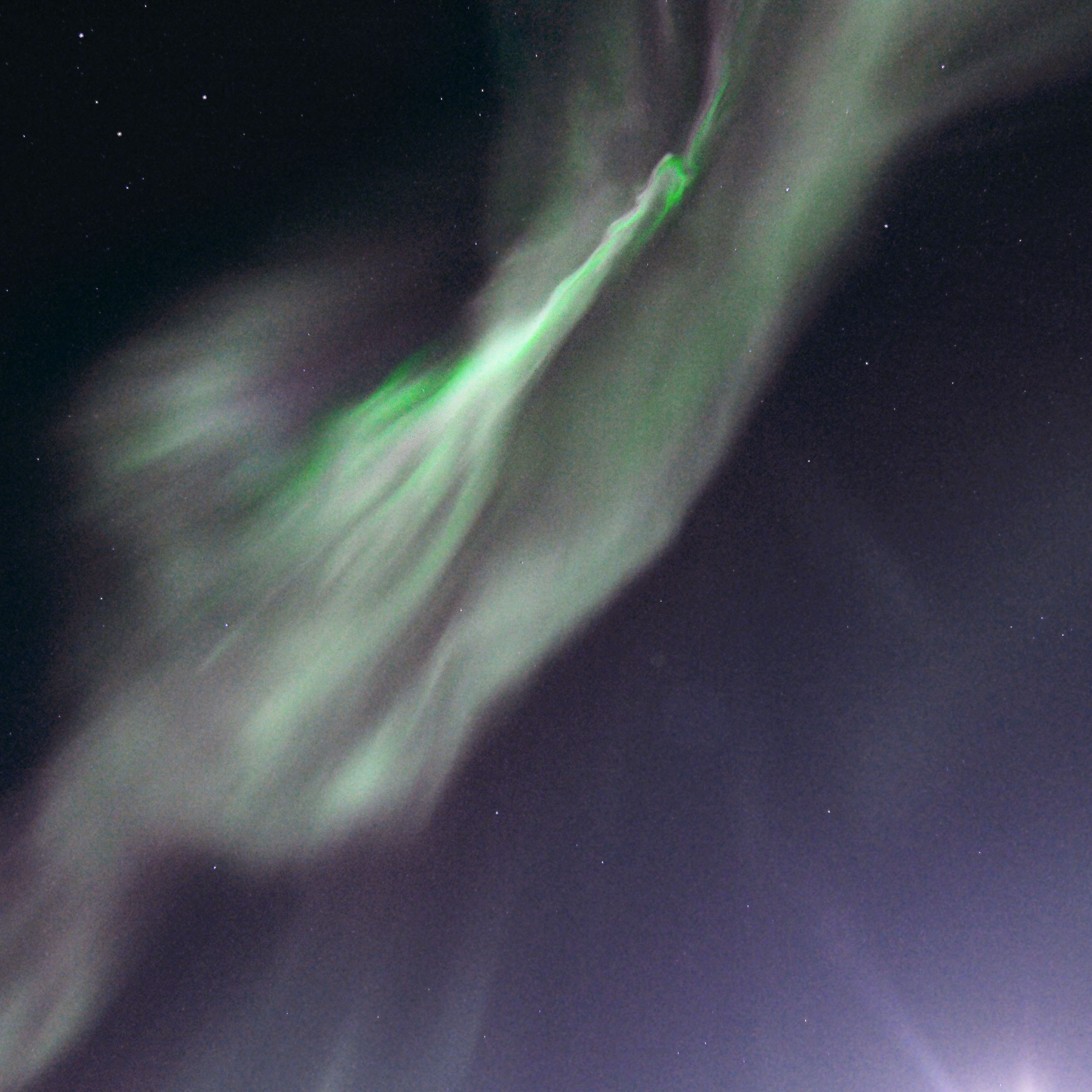
Directly overhead, and coming straight down.
Just a few seconds later.
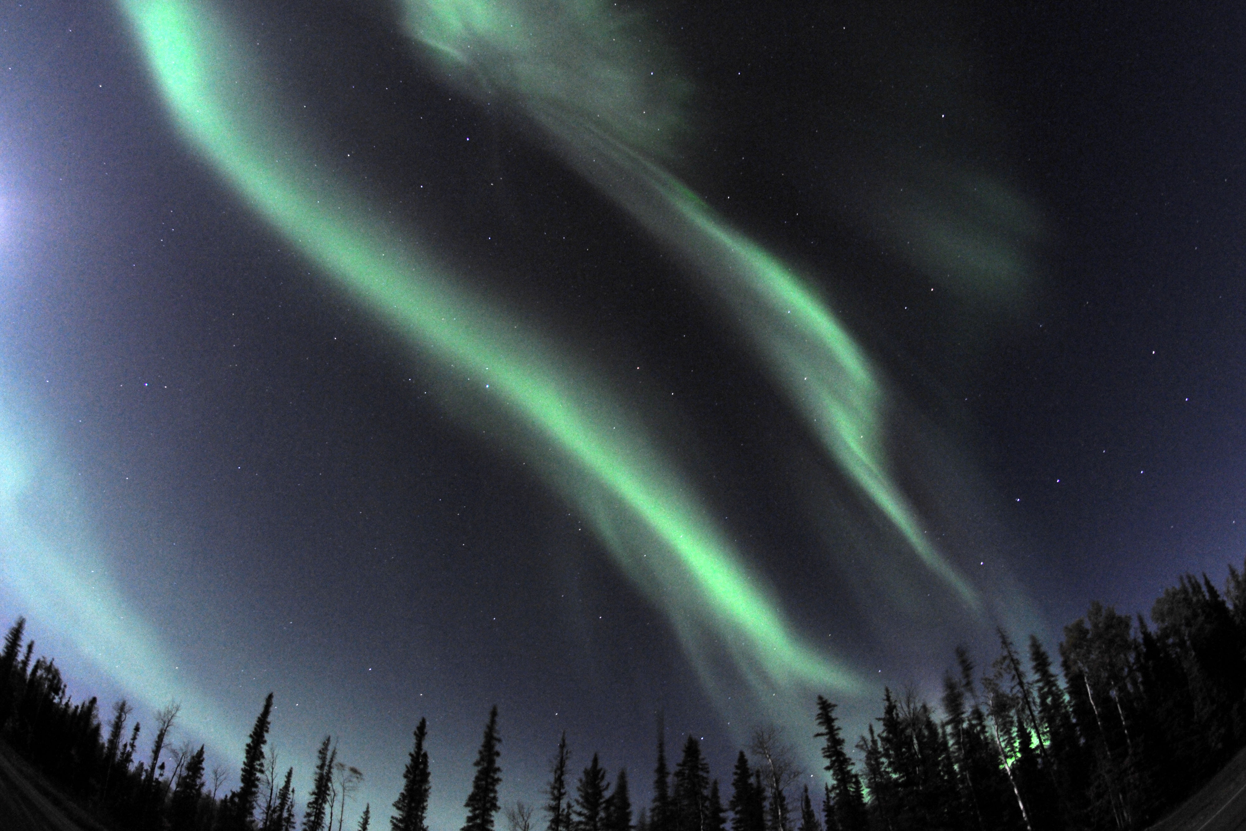
Now with some context!
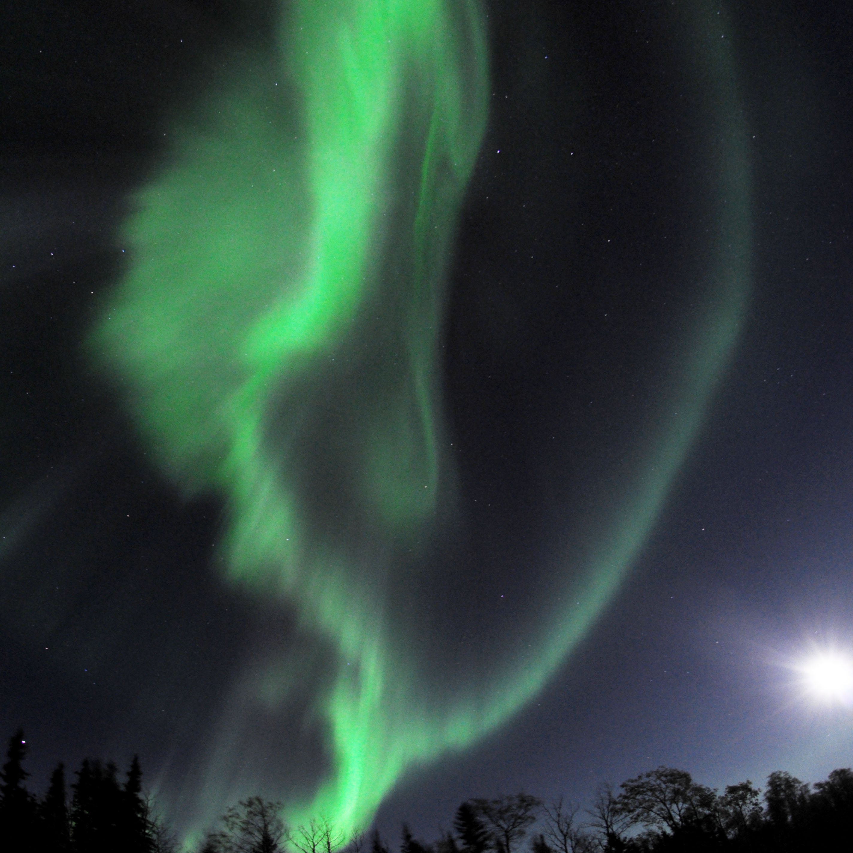
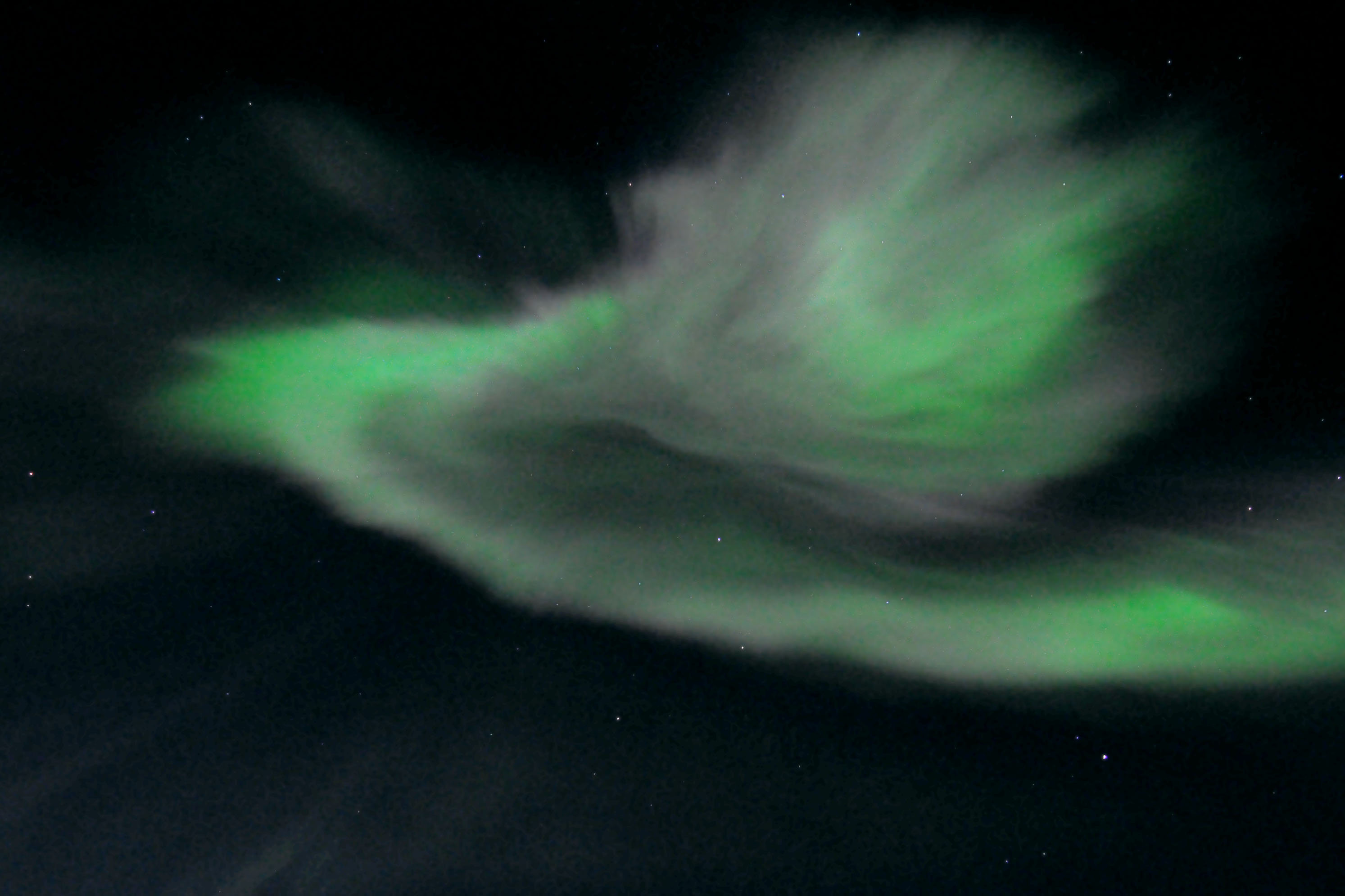
I must reiterate, that this spans the entire field of view, from one horizon to the other.
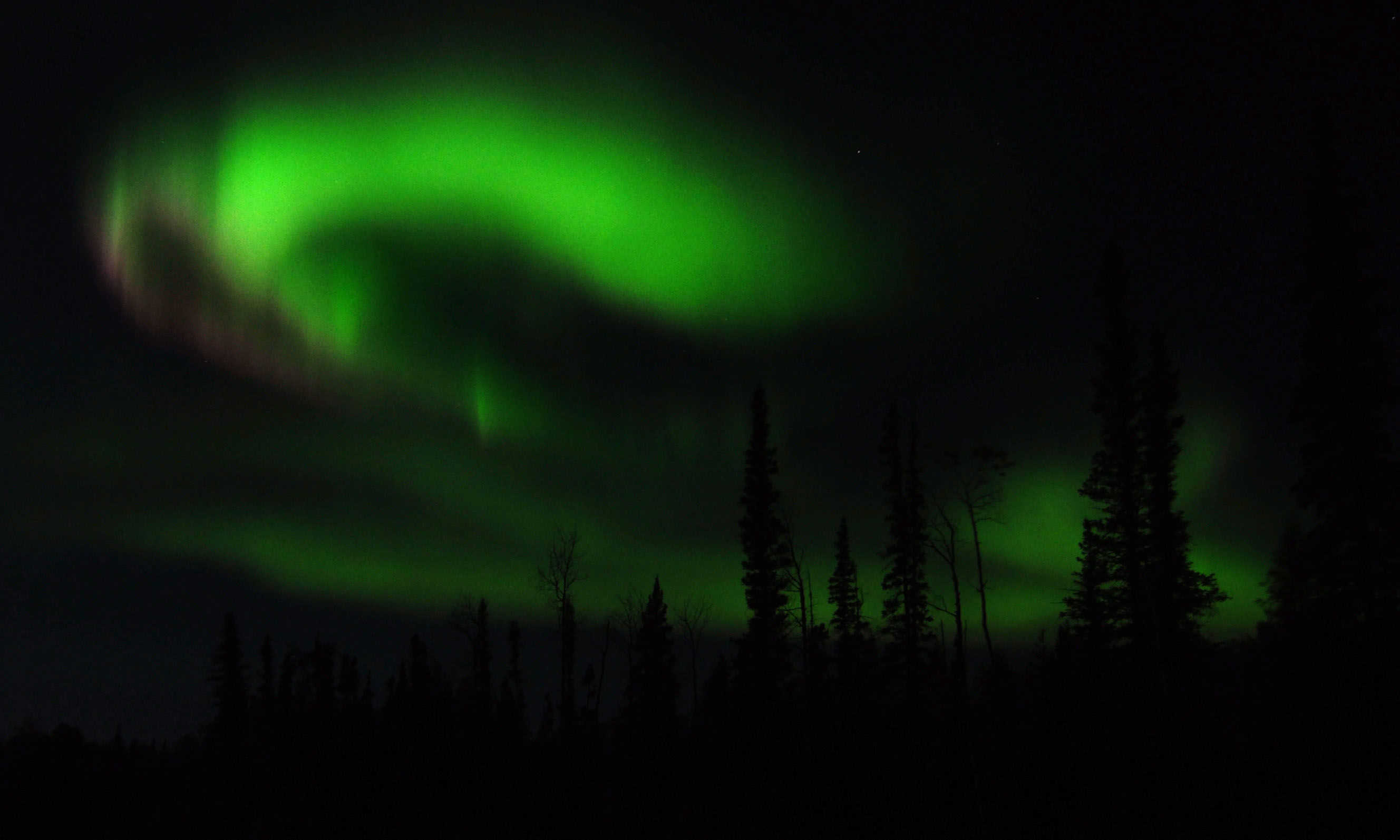
A giant spiral in the sky.
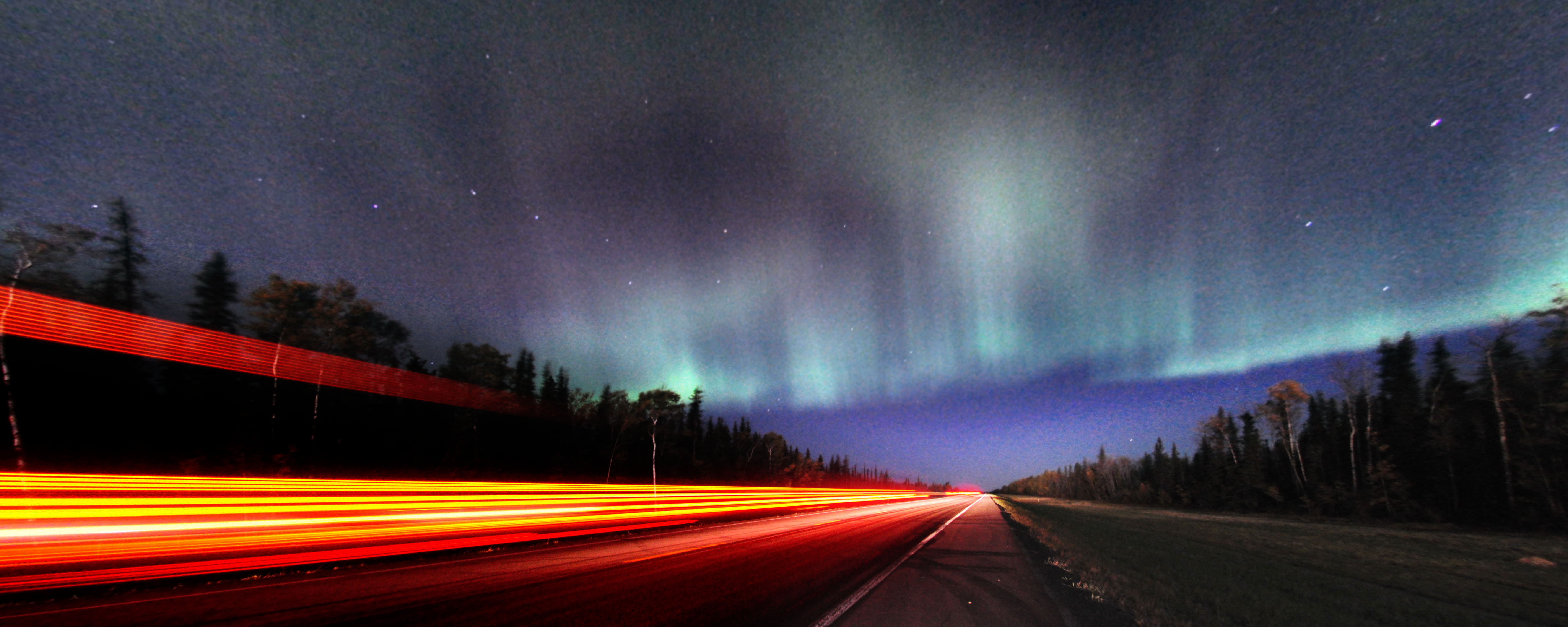
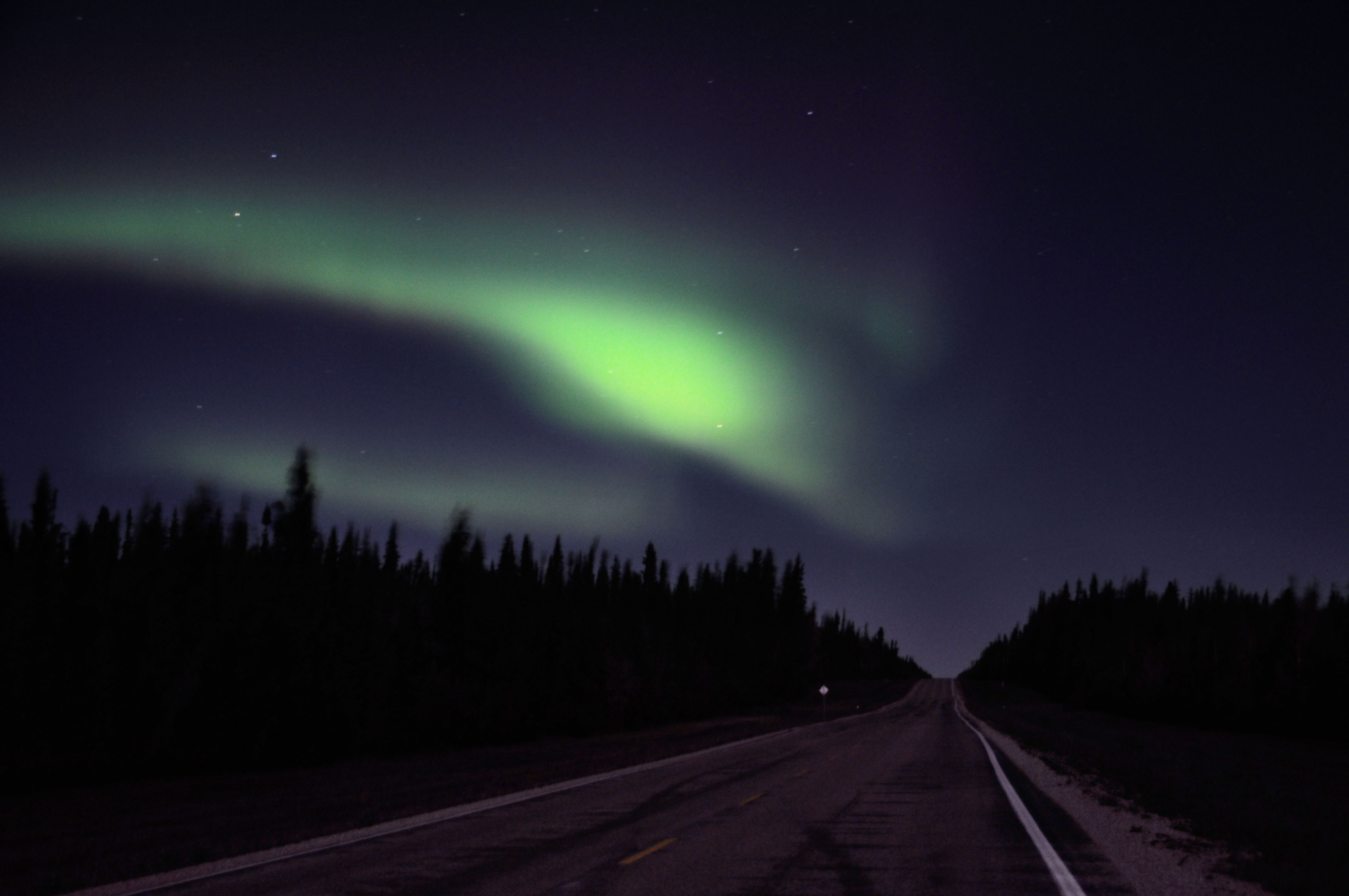
A truck goes by. Very light traffic at this hour – there was an interval where I spent about 20 minutes parked in the road without any problem.
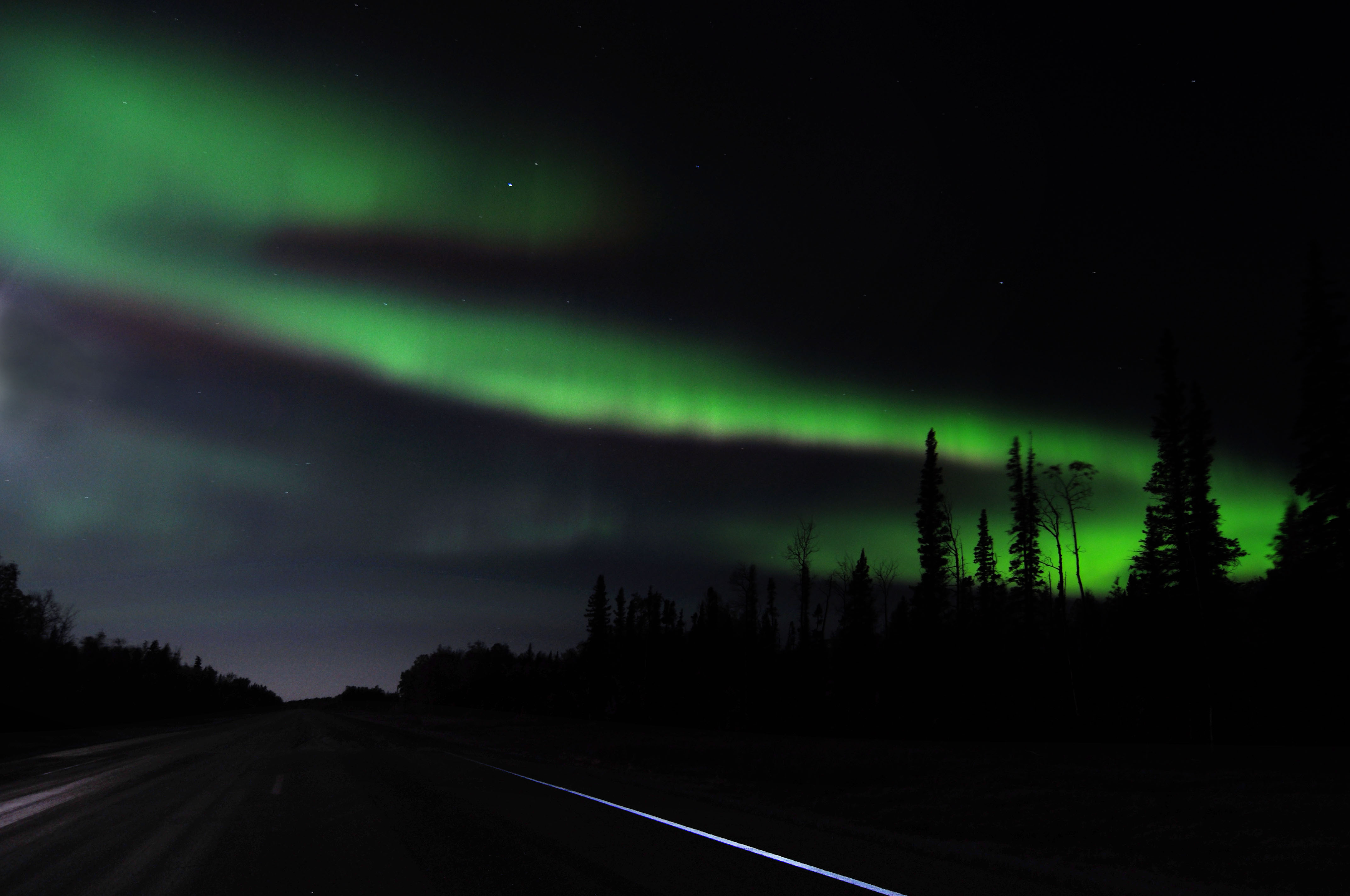
The show goes on. Usually an active interval lasts 10-15 minutes. This one was 45!
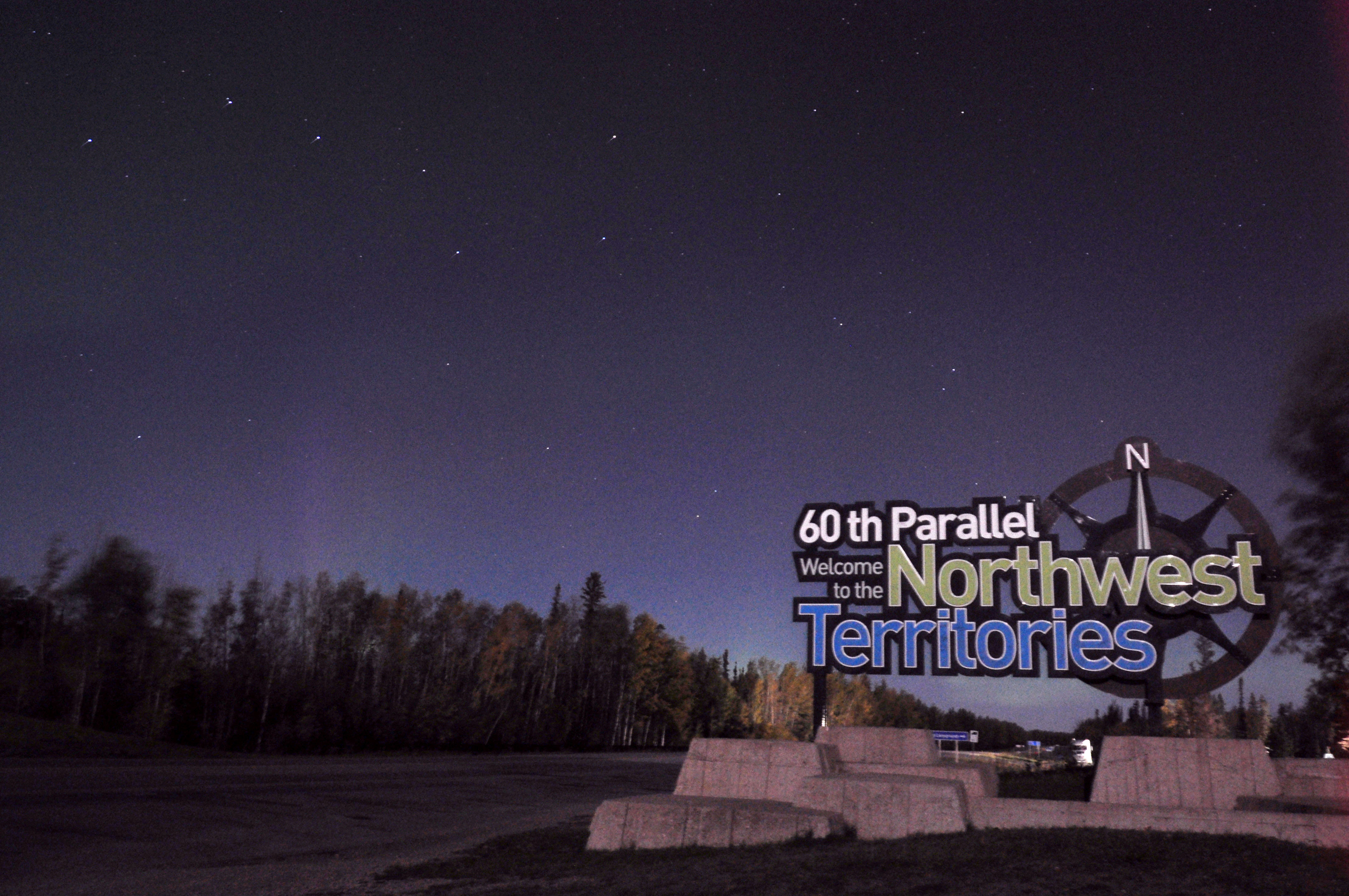
The border line, with the barest glimmer of northern lights in the background. The next day, we’ll get a much more interesting photo of this same scene.
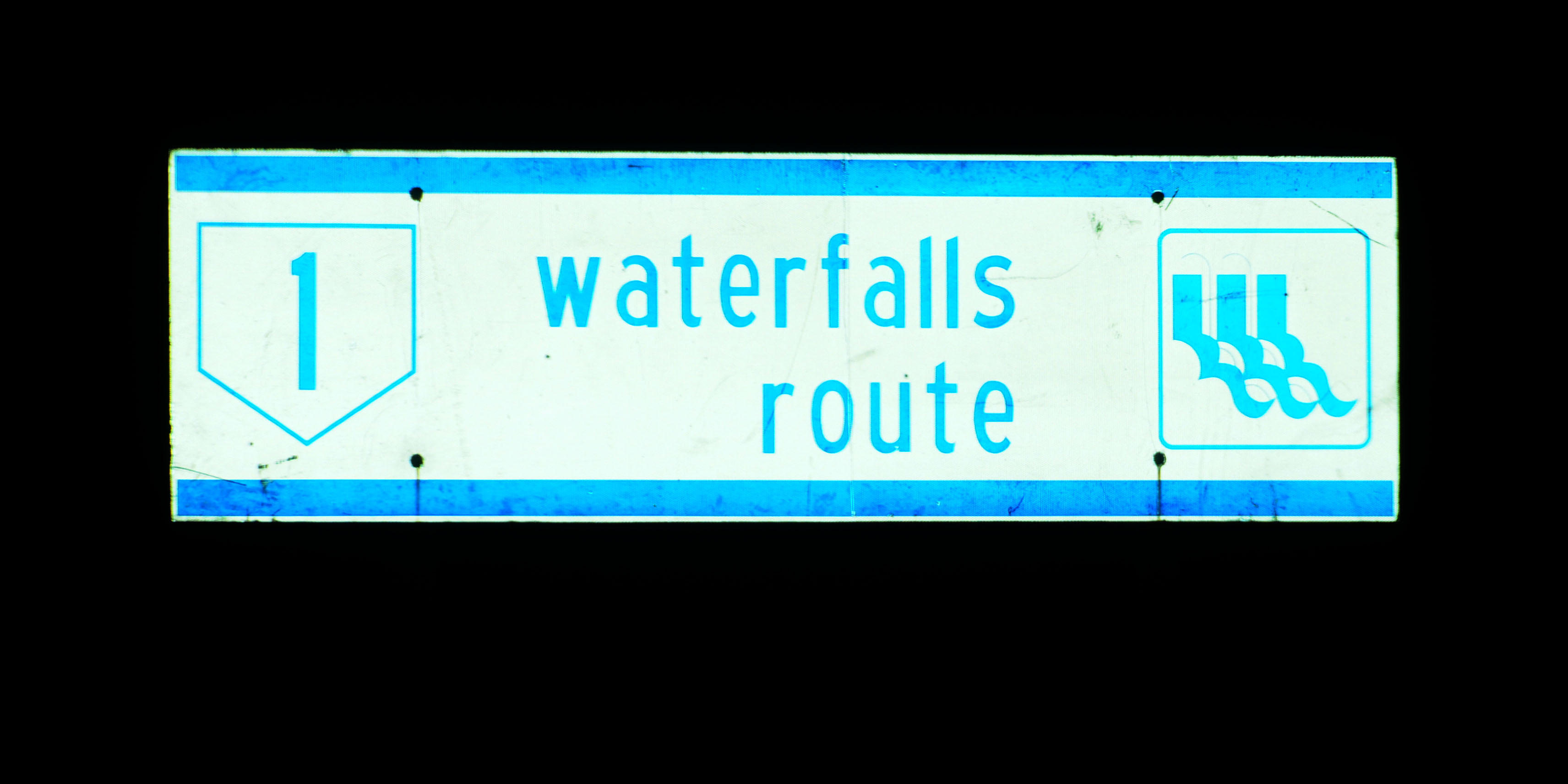
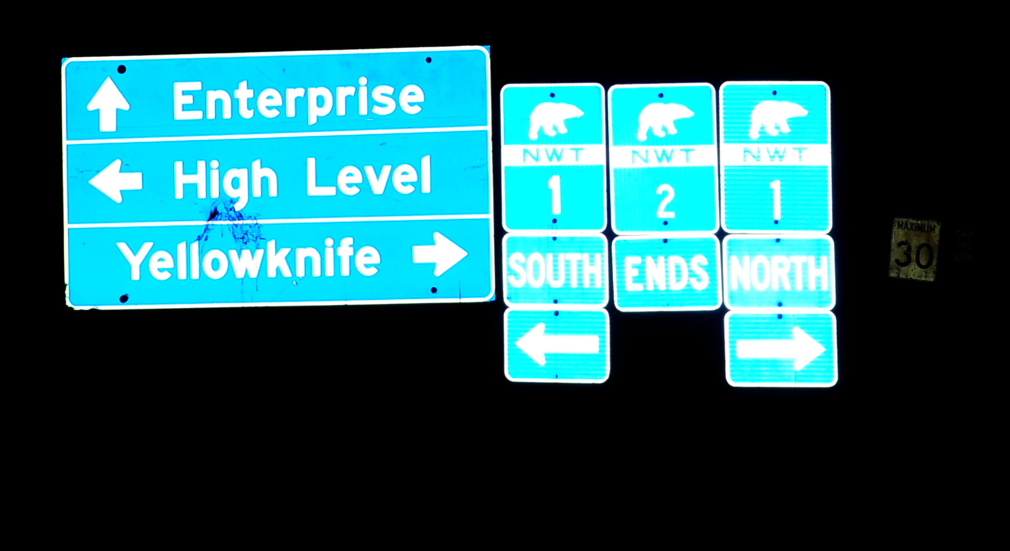
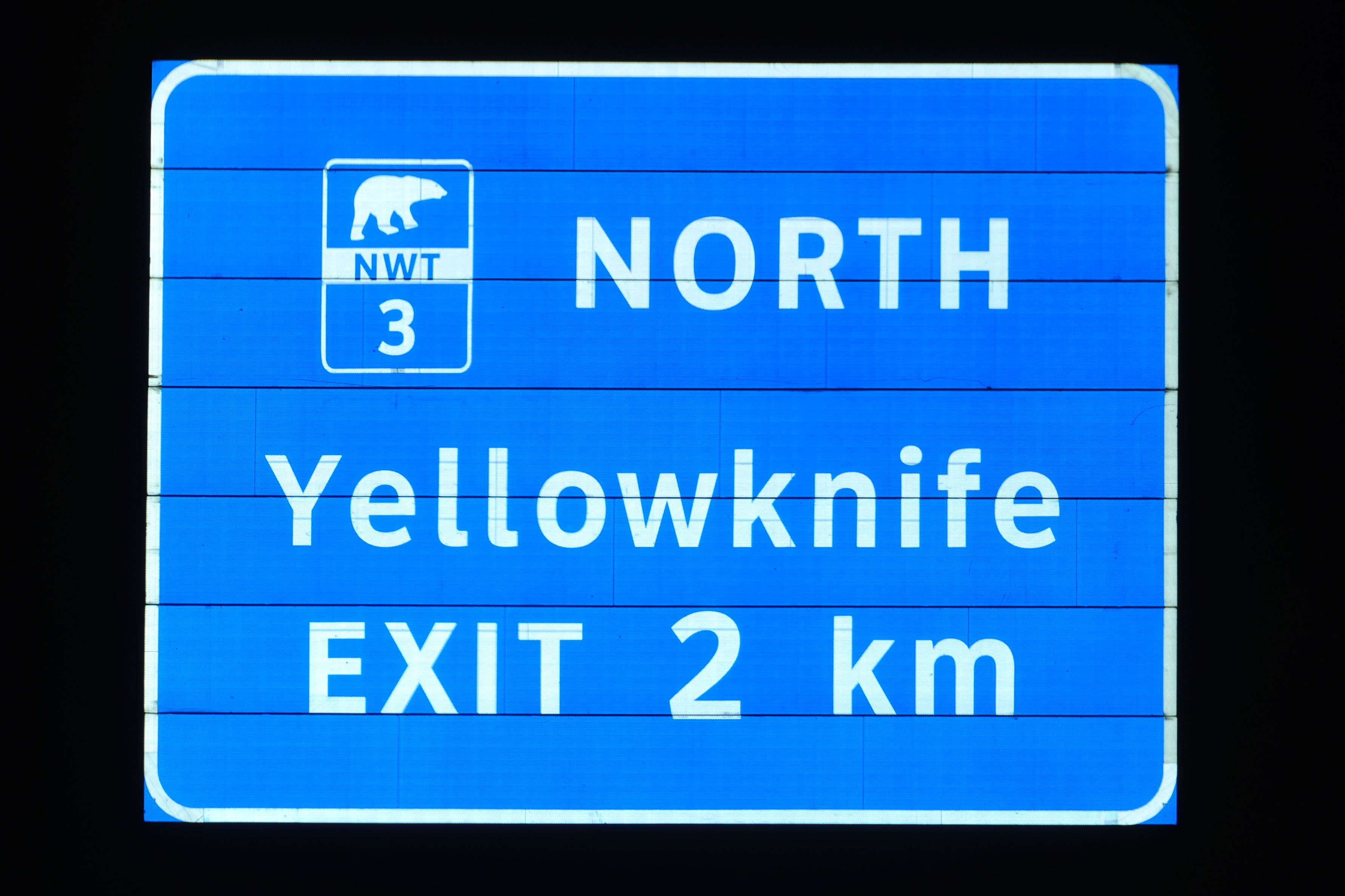
Our first Northwest Territories sign. Usually, NWT uses a route marker with a bear on it, but it looks like for a little while they experimented with this pentagon.
This sort of thing happens up here too.
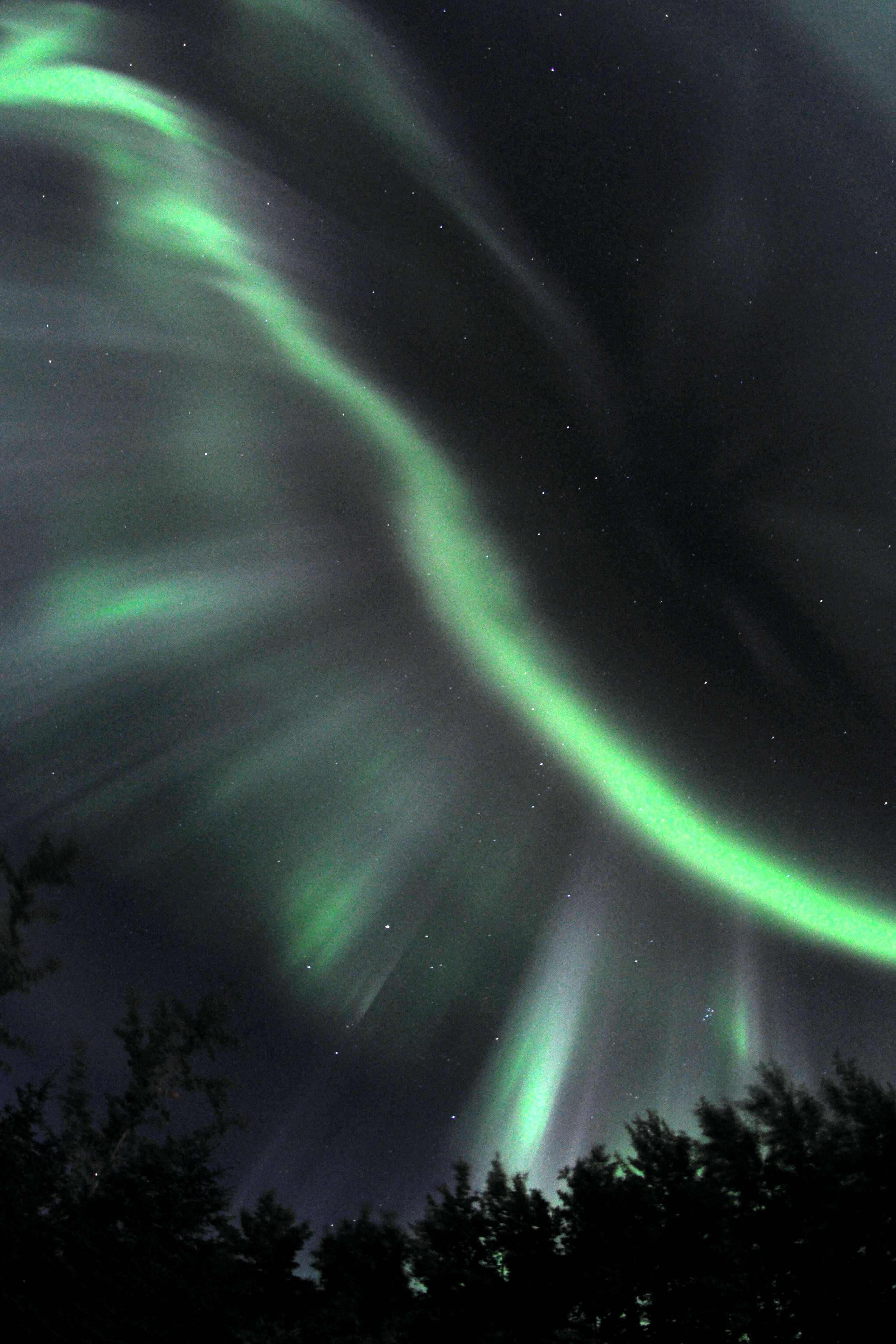
Some very fine discrete filaments.
Sometimes the red and purple fringes are more prominent.
A very long exposure.
About the farthest we’ll get from actual shields with bears on them.
There, actual bears. Better photos to come during daylight hours.
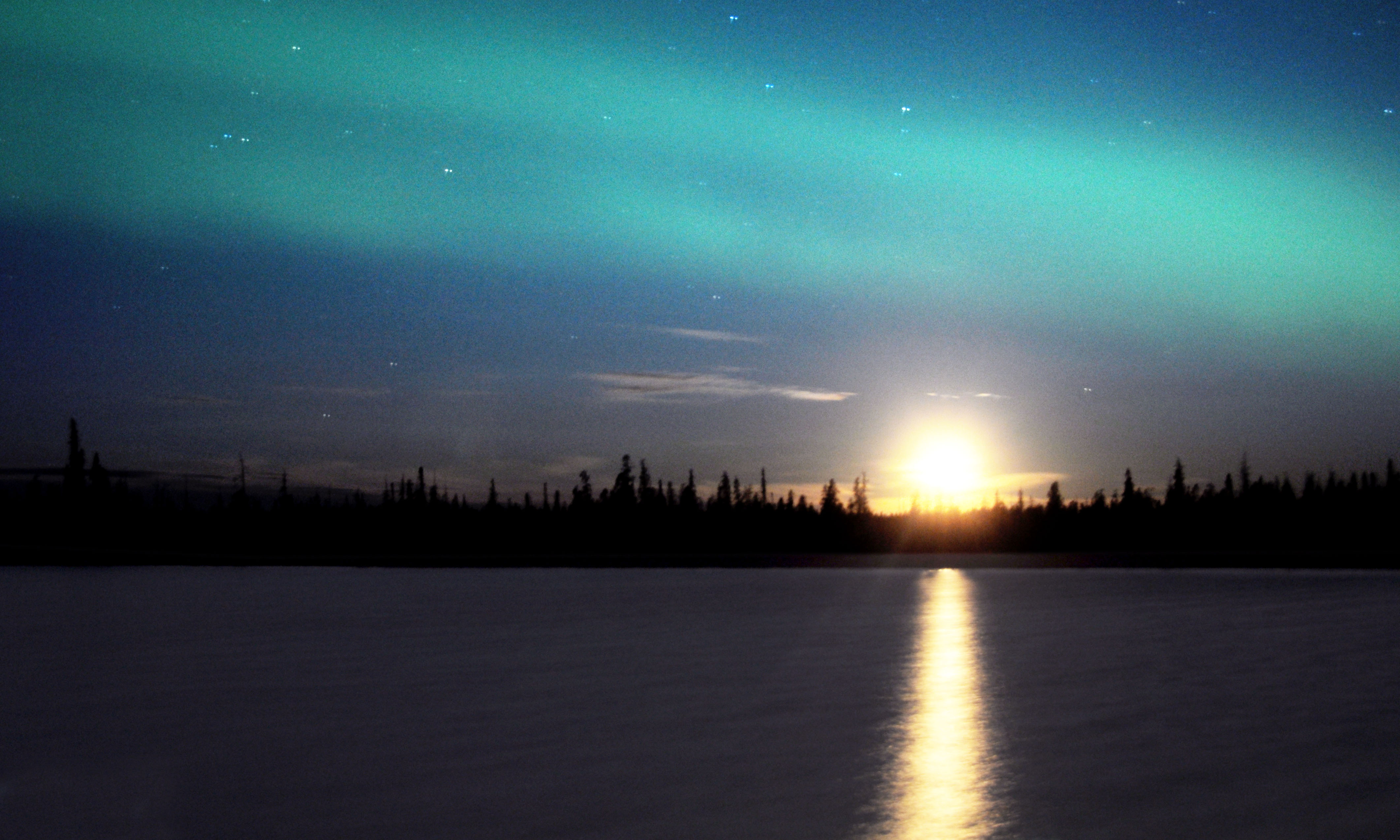
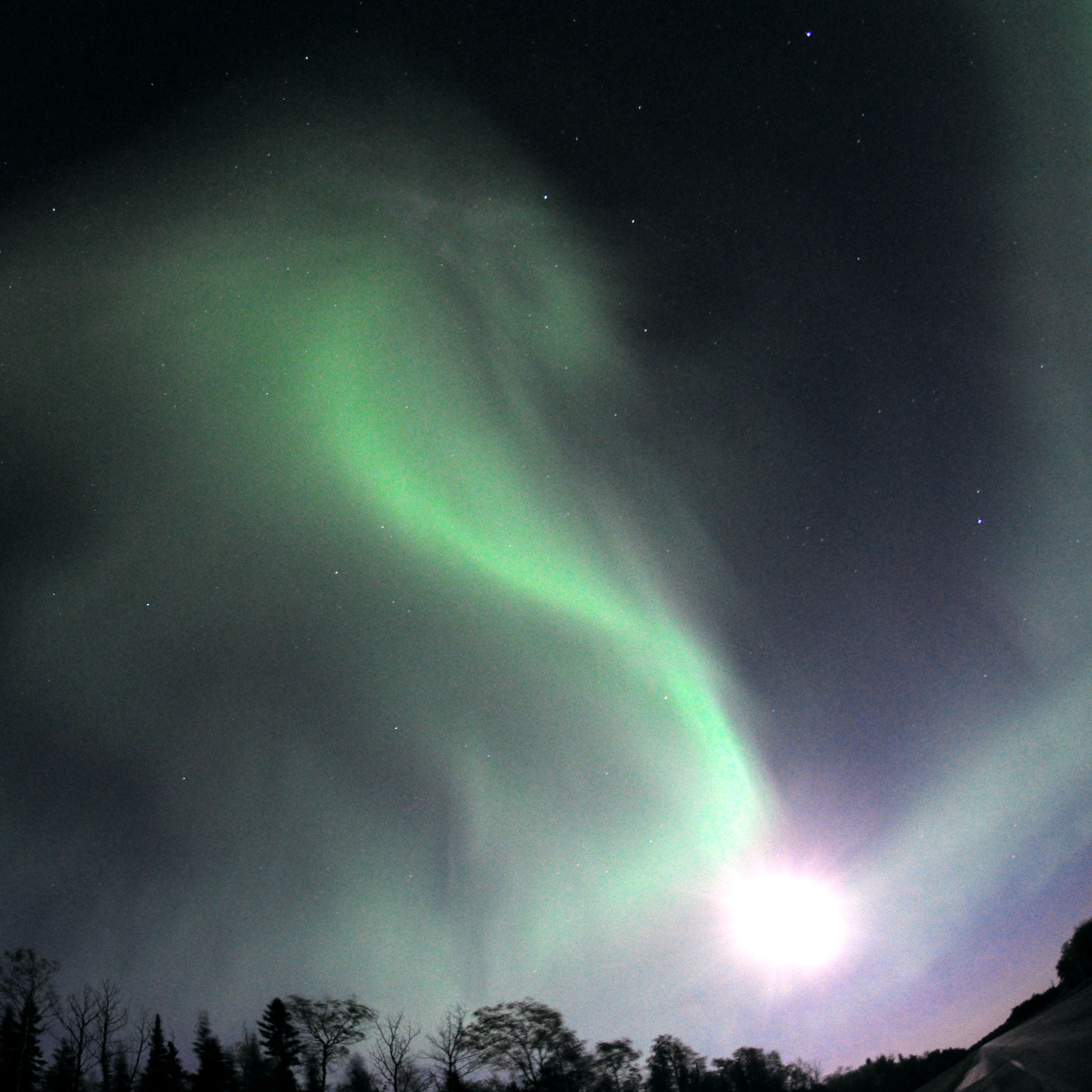
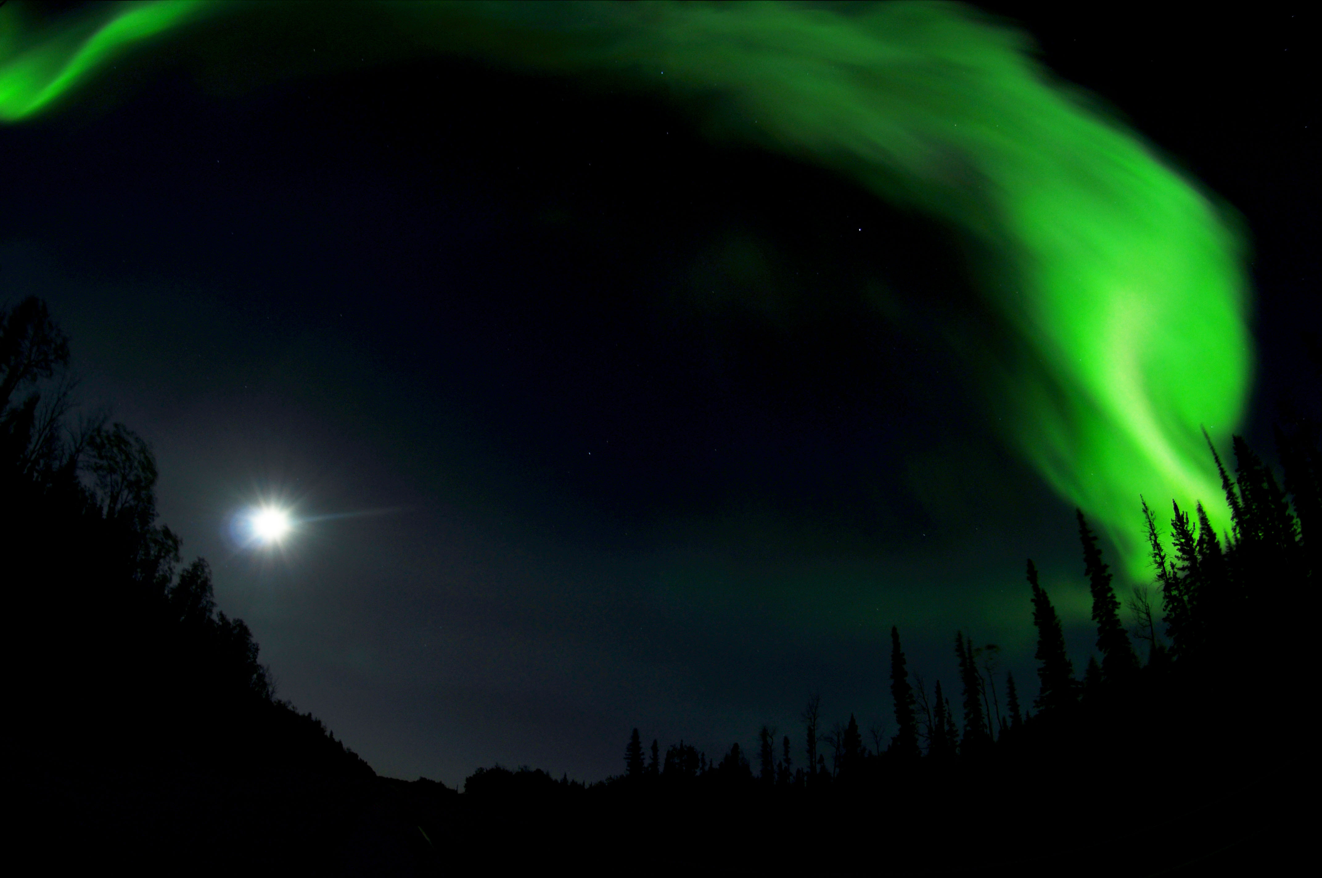
The moon sets, while the northern lights continue.
Warning: photo may contain Clearview.
And that’s it for this day! Next up … daylight photos from Northwest Territories – and more northern lights!
That 60th parallel sign must be pretty new, because Google Street View has a different one: http://g.co/maps/ksf8t
wow, good discovery, Chris! I saw that it was shiny and new, but did not think it to be this shiny and new.
I like the new one much better.
Great shots Jake!!!!
These photos are amazing… I’m completely jealous. Have fun on your trip!
The reason why the “important junction” has two patches is because Alberta has renumbered its northern highways in 1998. They extended the 43 to keep the same number up to the provincial border.
http://en.wikipedia.org/wiki/Alberta_Highway_43
Jeff B – thank you for the info!!
Amazing photos as always. It’s cool to see an error shield in another country, too.
Love the Northern lights with tail lights! great shot.