
The third day, in which we see much Texas.
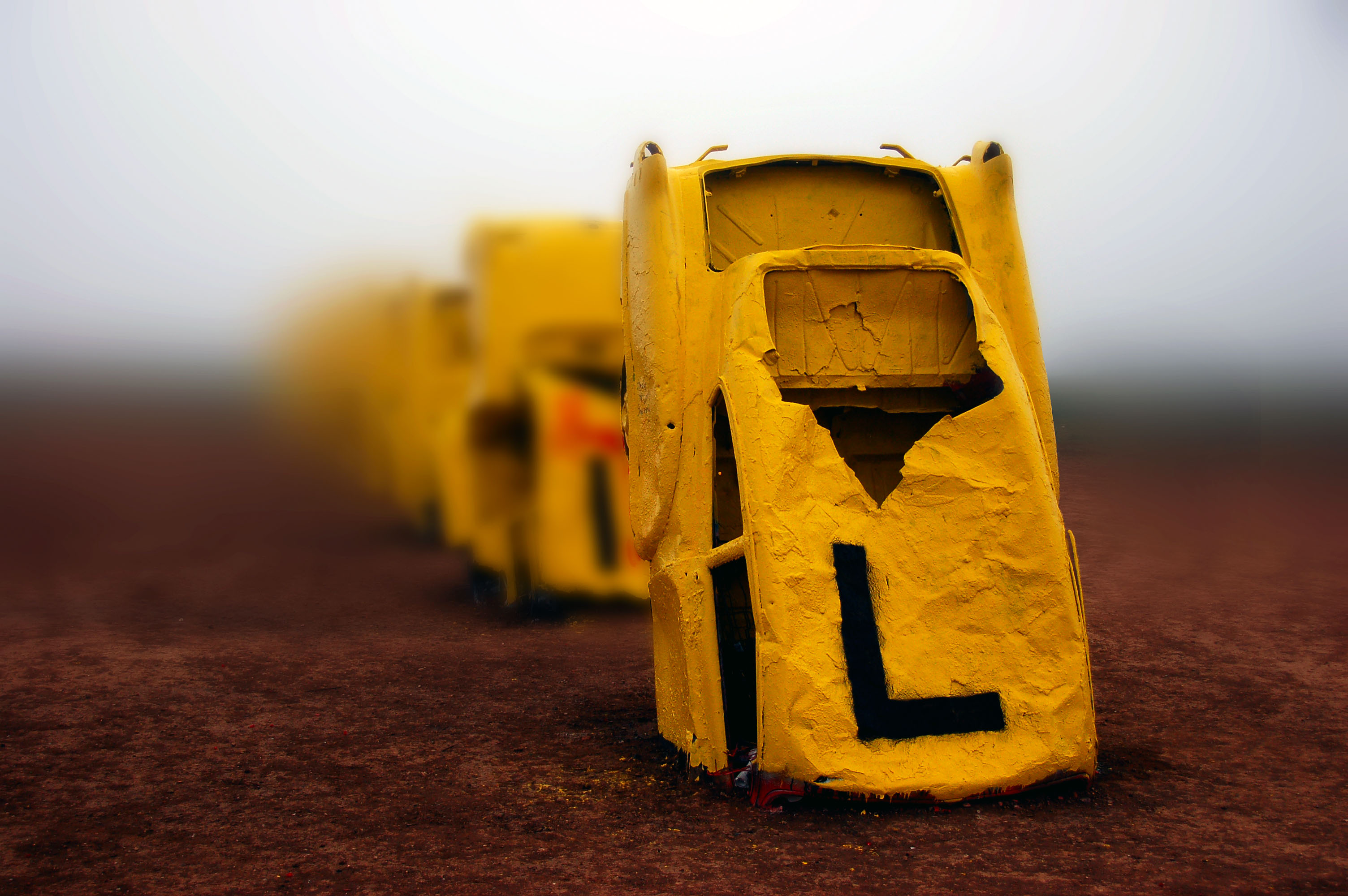
Cadillacs in the mist. The world-famous Cadillac Ranch, just east of Amarillo.

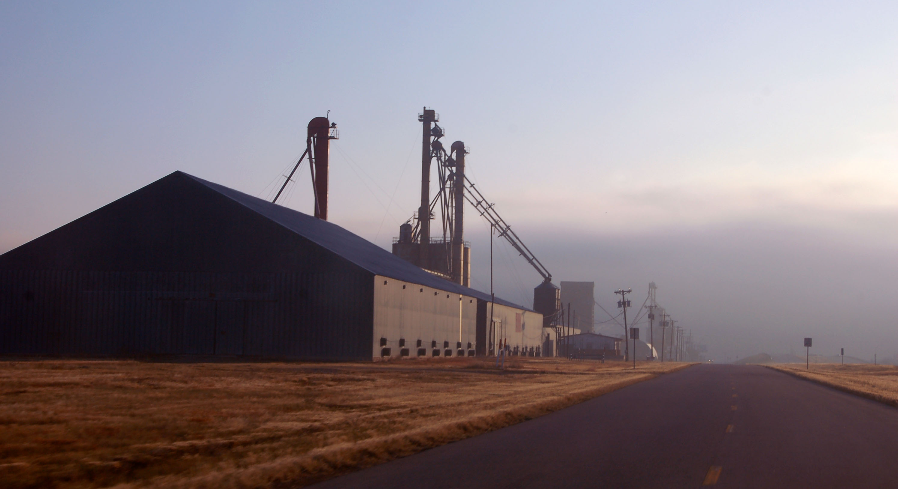
I don’t remember which business loop this is (Vega? Adrian?) but it was still dark, and below freezing.
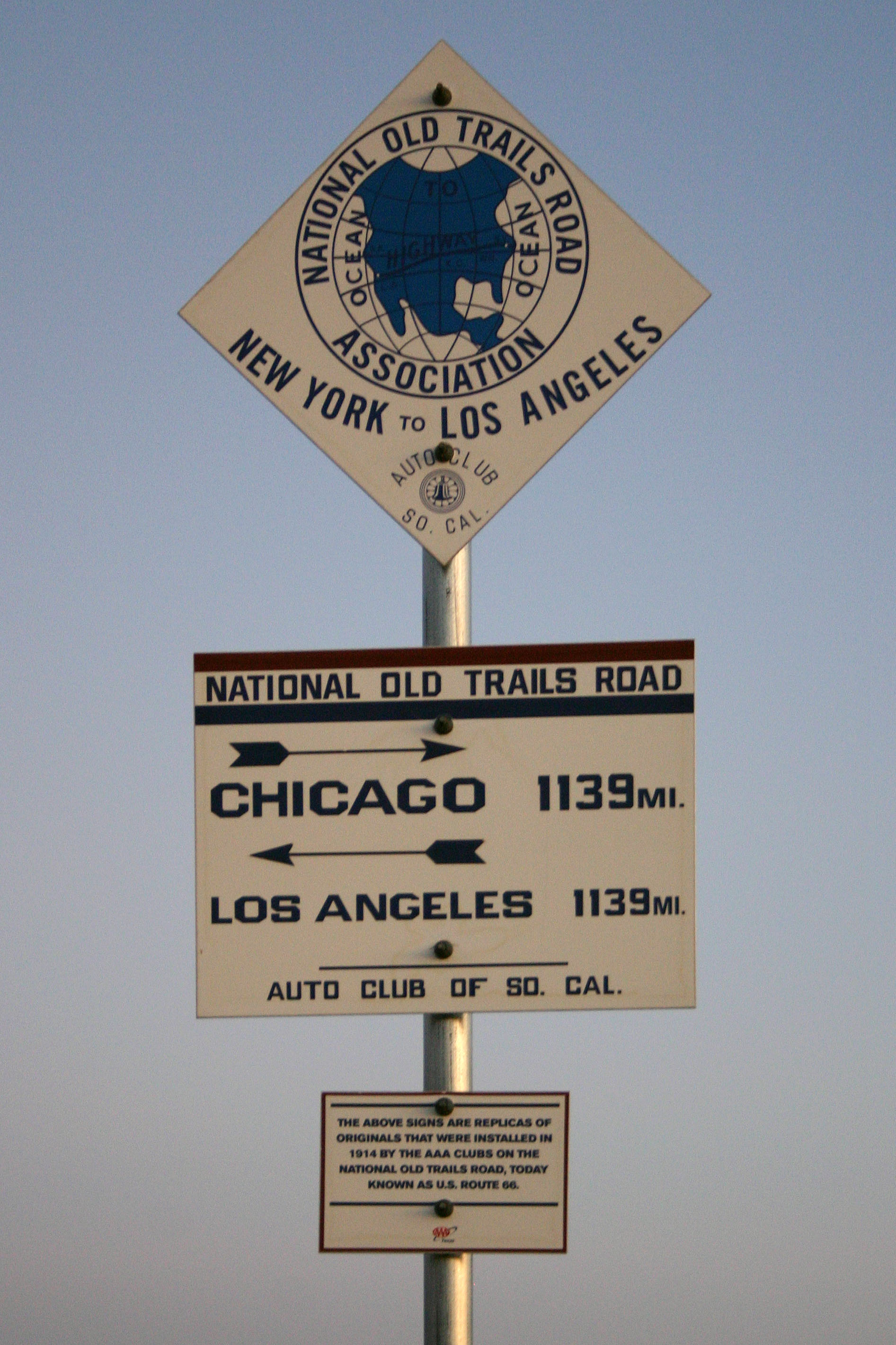
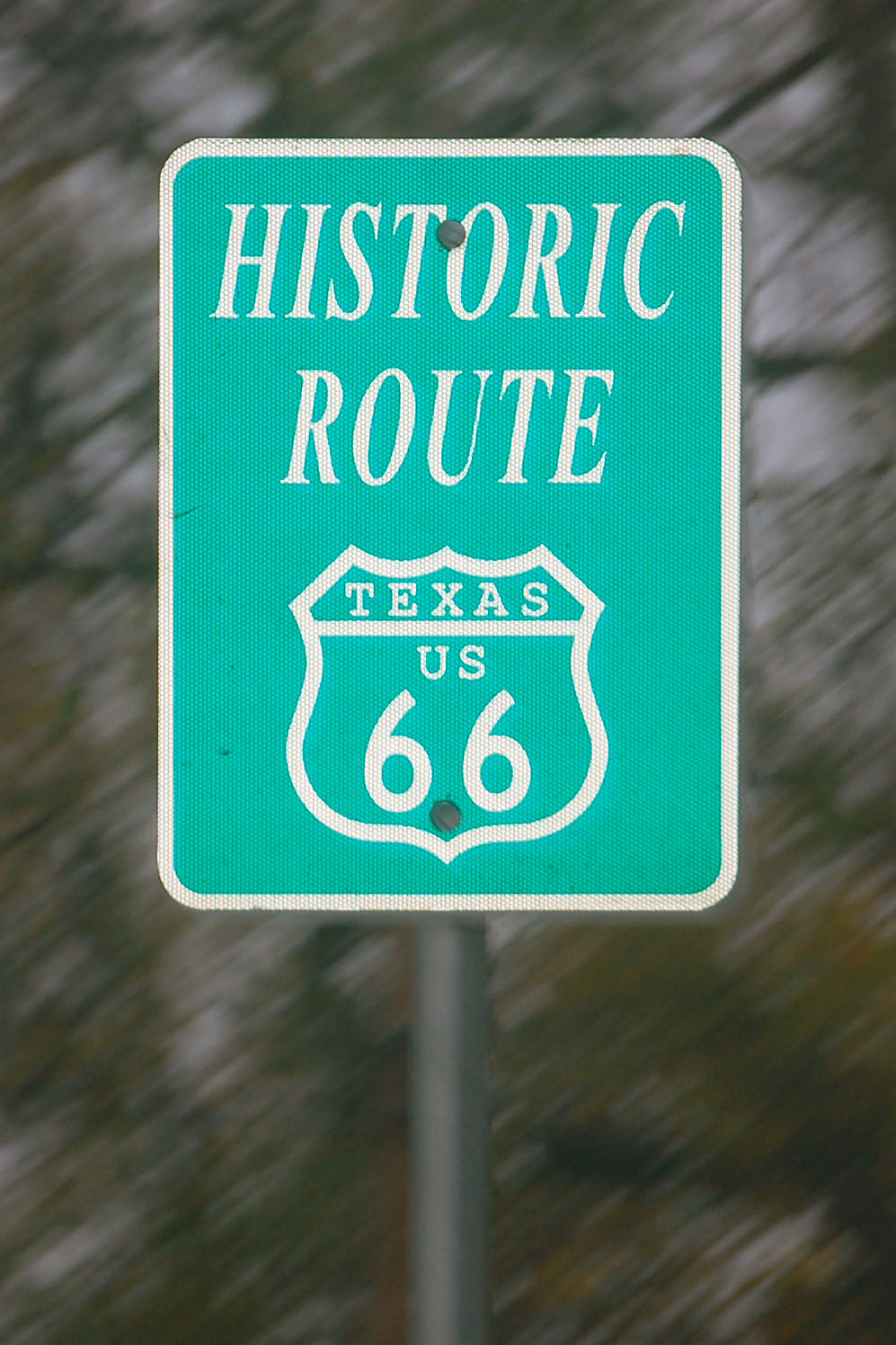
Well-made replicas of old signs – though the National Old Trails Road didn’t actually go through here. US-66 joins up with the older road only around Santa Rosa, New Mexico, and follows it west.
Nonetheless, we are at the midpoint of US-66, in Adrian.
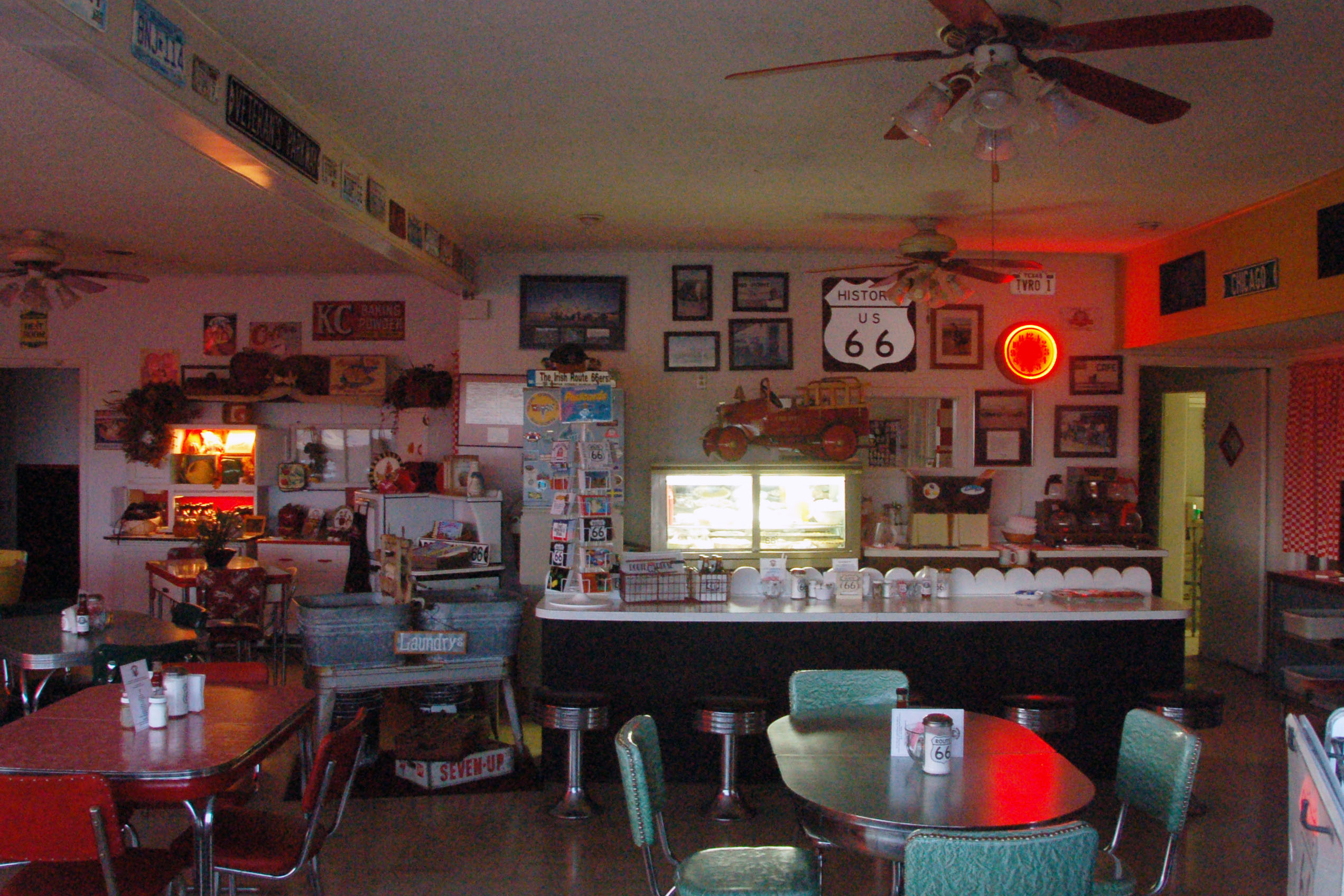
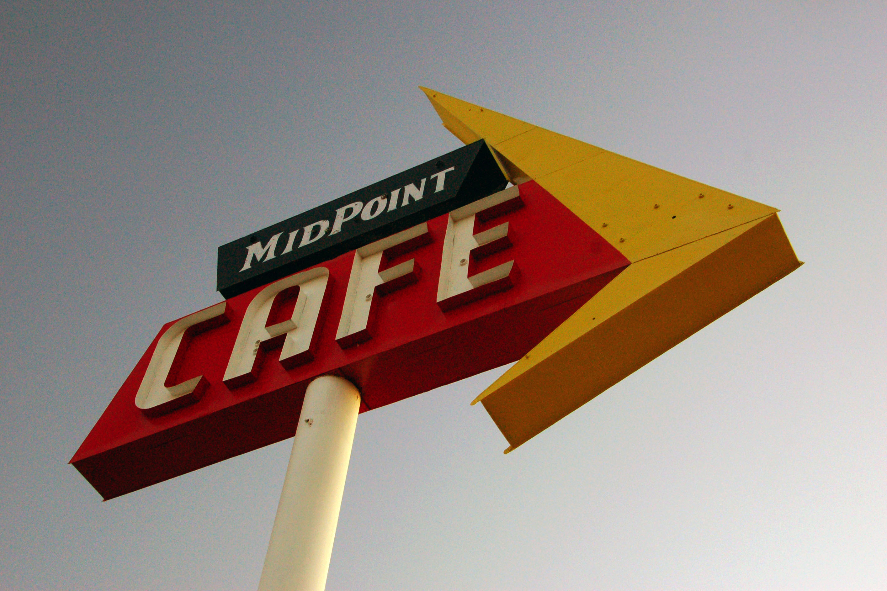
And this is the closest we will get to the inside of the Midpoint Cafe, as we got there well before it opened for business.
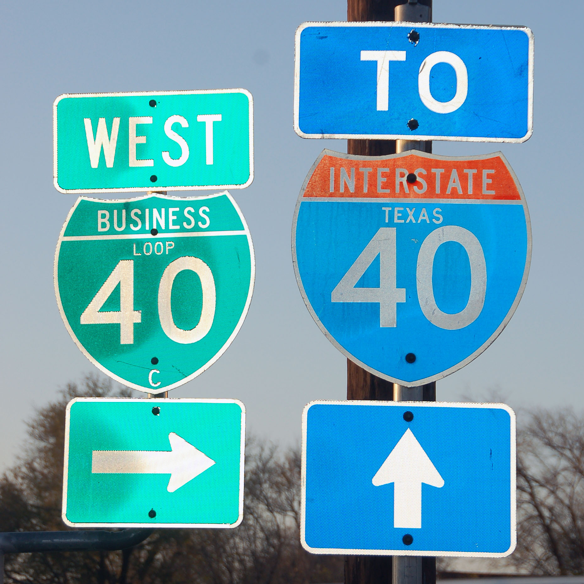
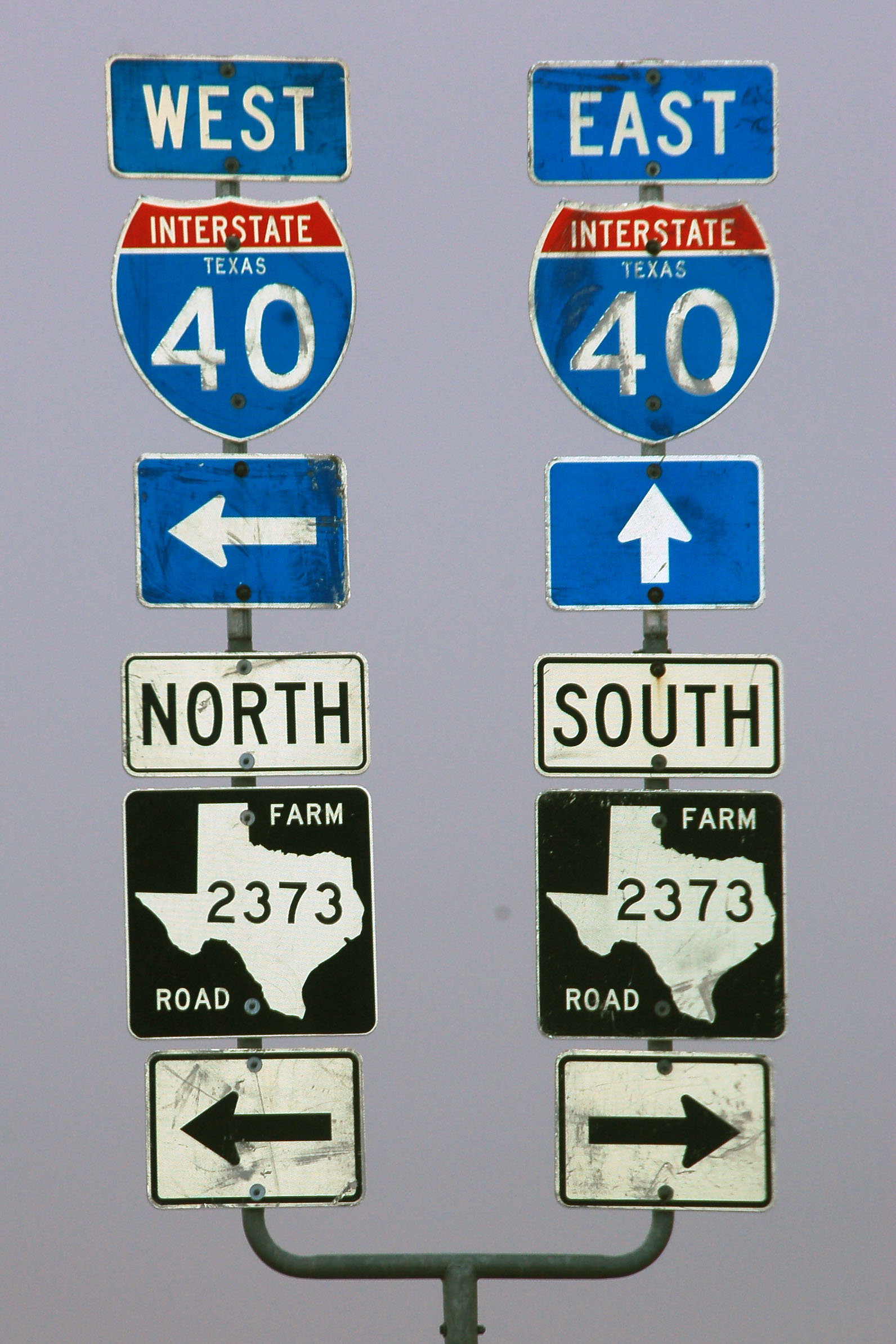
Texas interstate shields are getting surprisingly hard to find. Here is one on mainline I-40 that neither of us got the photo of, for obvious reasons. Here’s Kevin’s attempt.
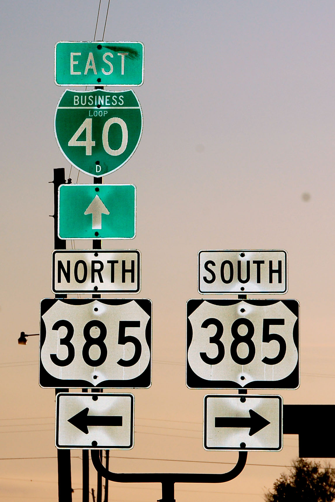
Here is one in downtown Vega on the business loop. C means the third business loop in Texas – A is Glenrio, B is Adrian.
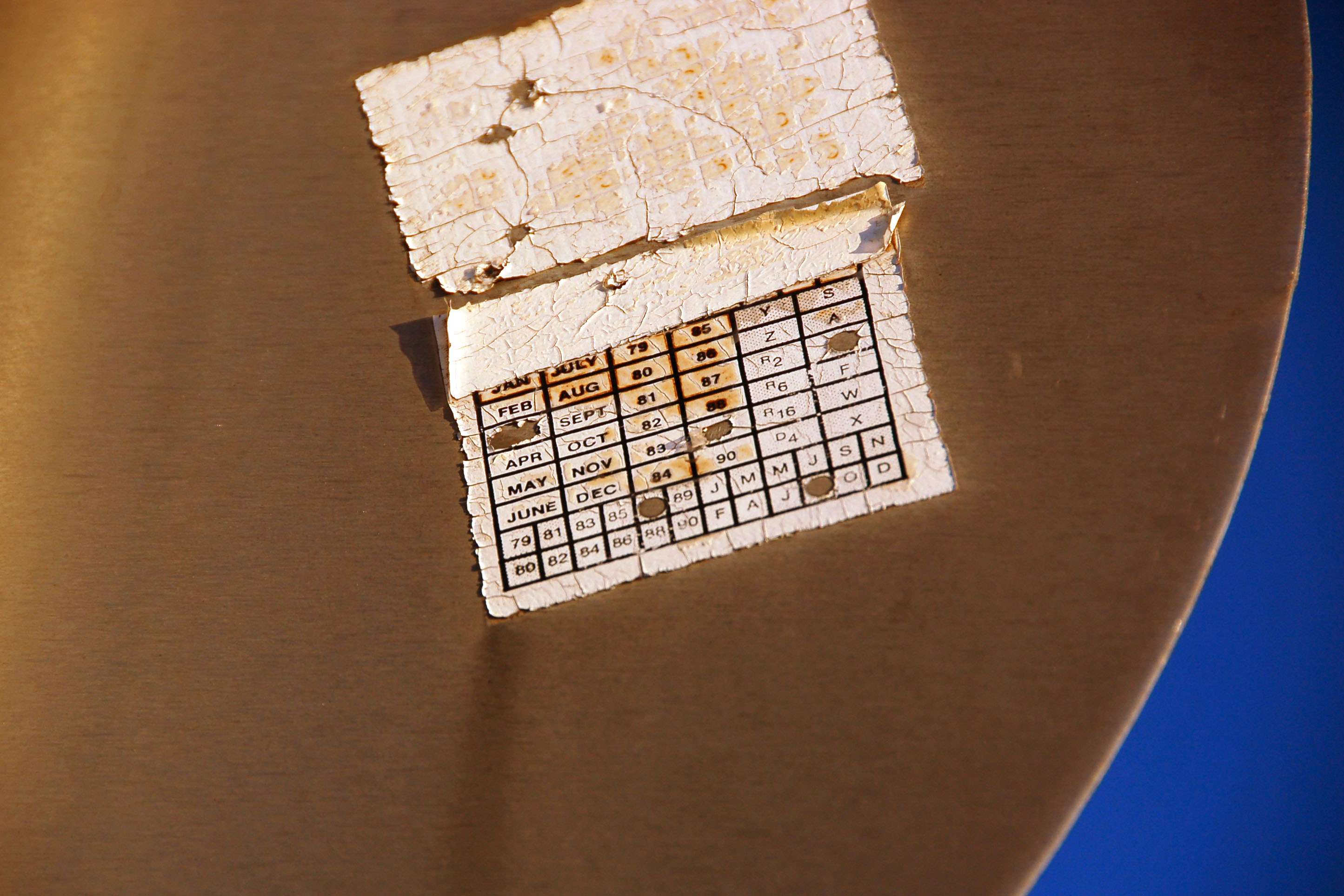
Signs from 1989 are plenty hard to find in Texas!
Still in Vega. Still on Business Loop 40C. The 40D shield is a mistake.
Ominous fog on 66 eastbound.
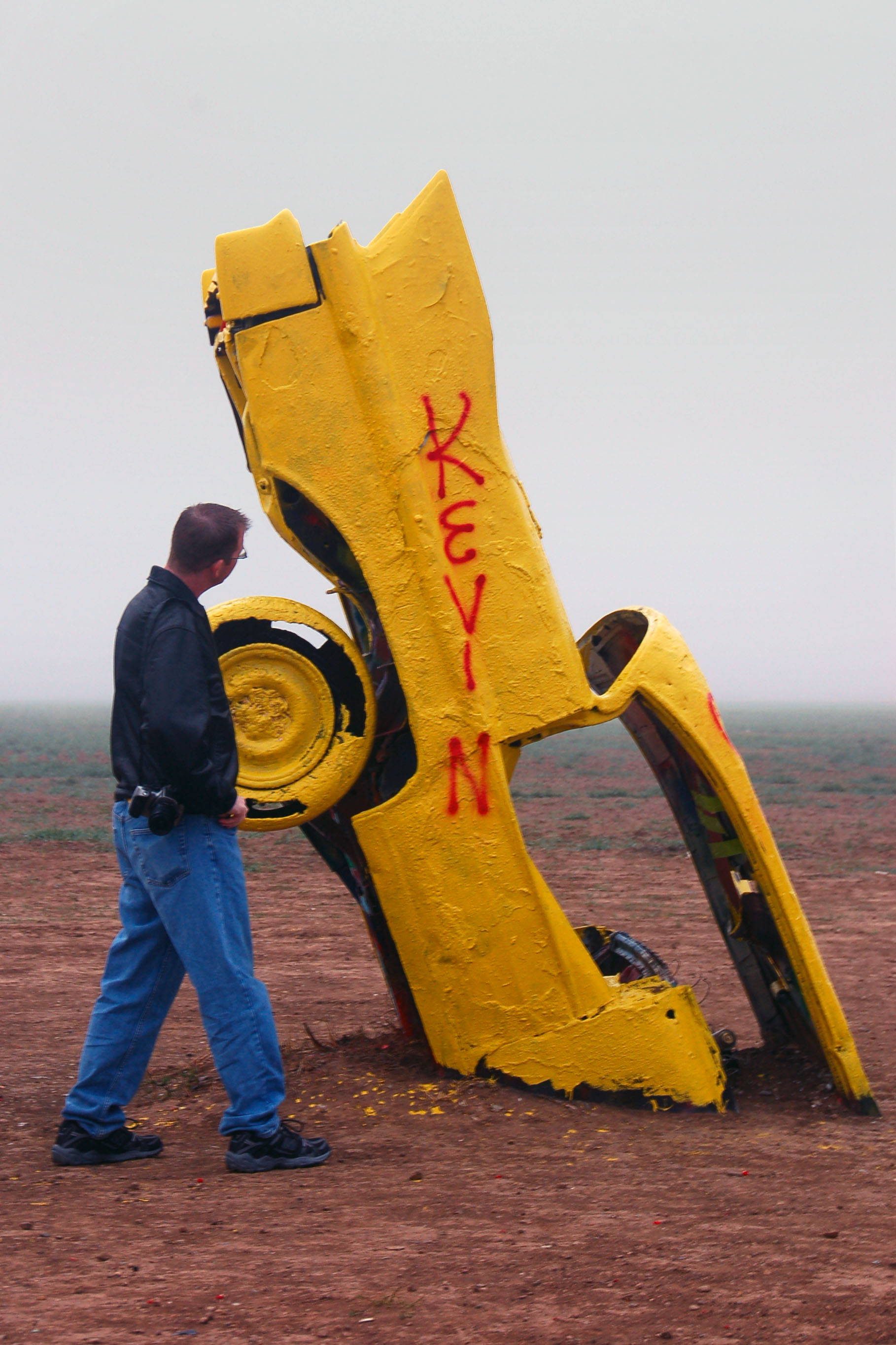
Kevin makes a startling discovery.
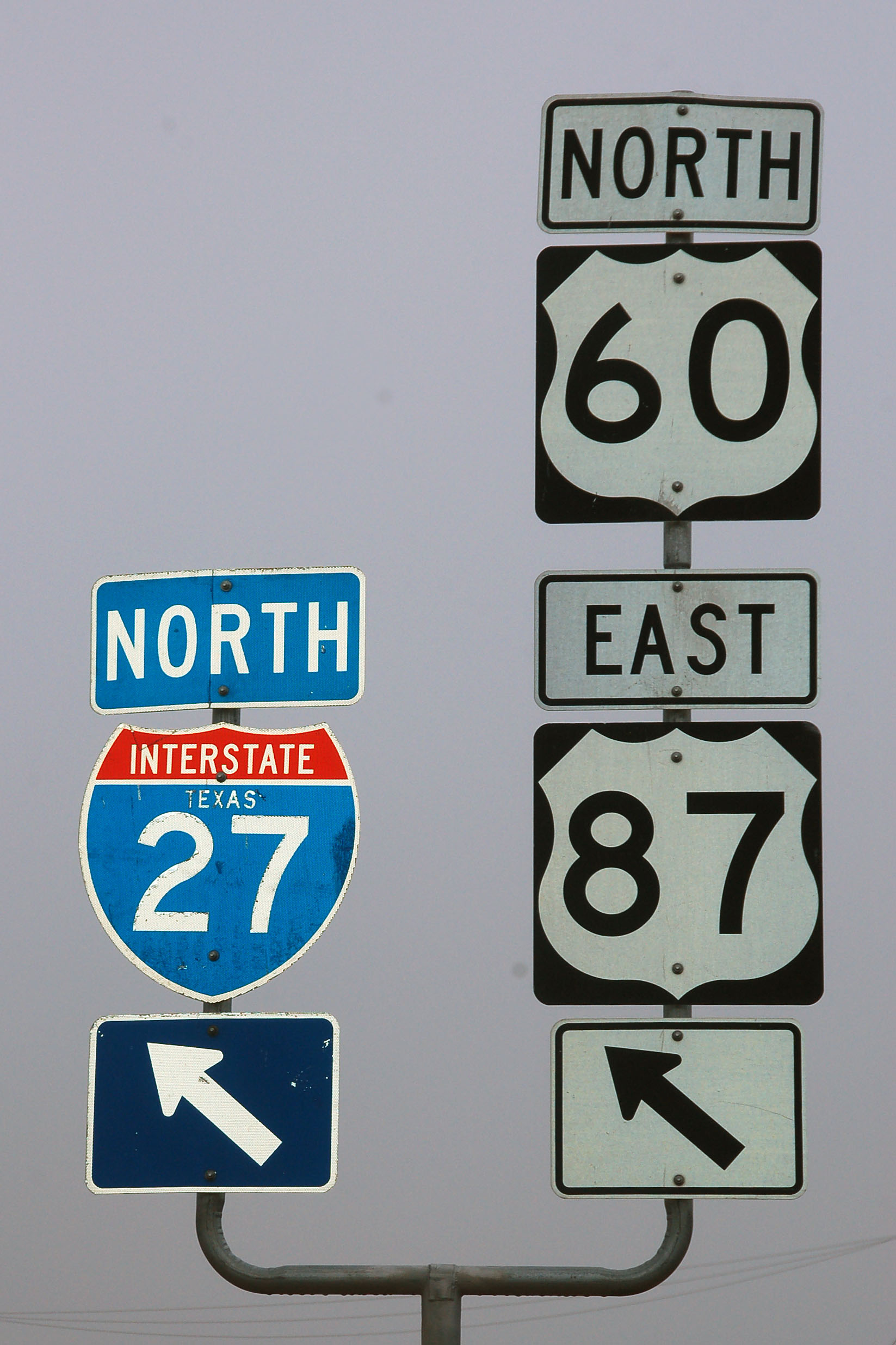
27s are a bit easier to find than 40s.
This is how Amarillo signs route 66.
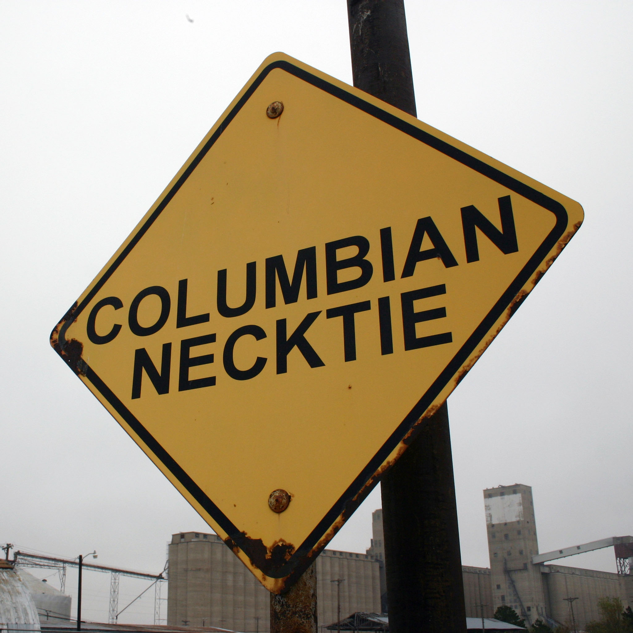
Courtesy of Stanley Marsh – the eccentric billionaire behind the Cadillac Ranch – come these diamond signs all over Amarillo. Apparently there are over 200, scattered everywhere, with all sorts of messages. This one is on the main business loop and has quite the ominous warning. [Kevin photo.]
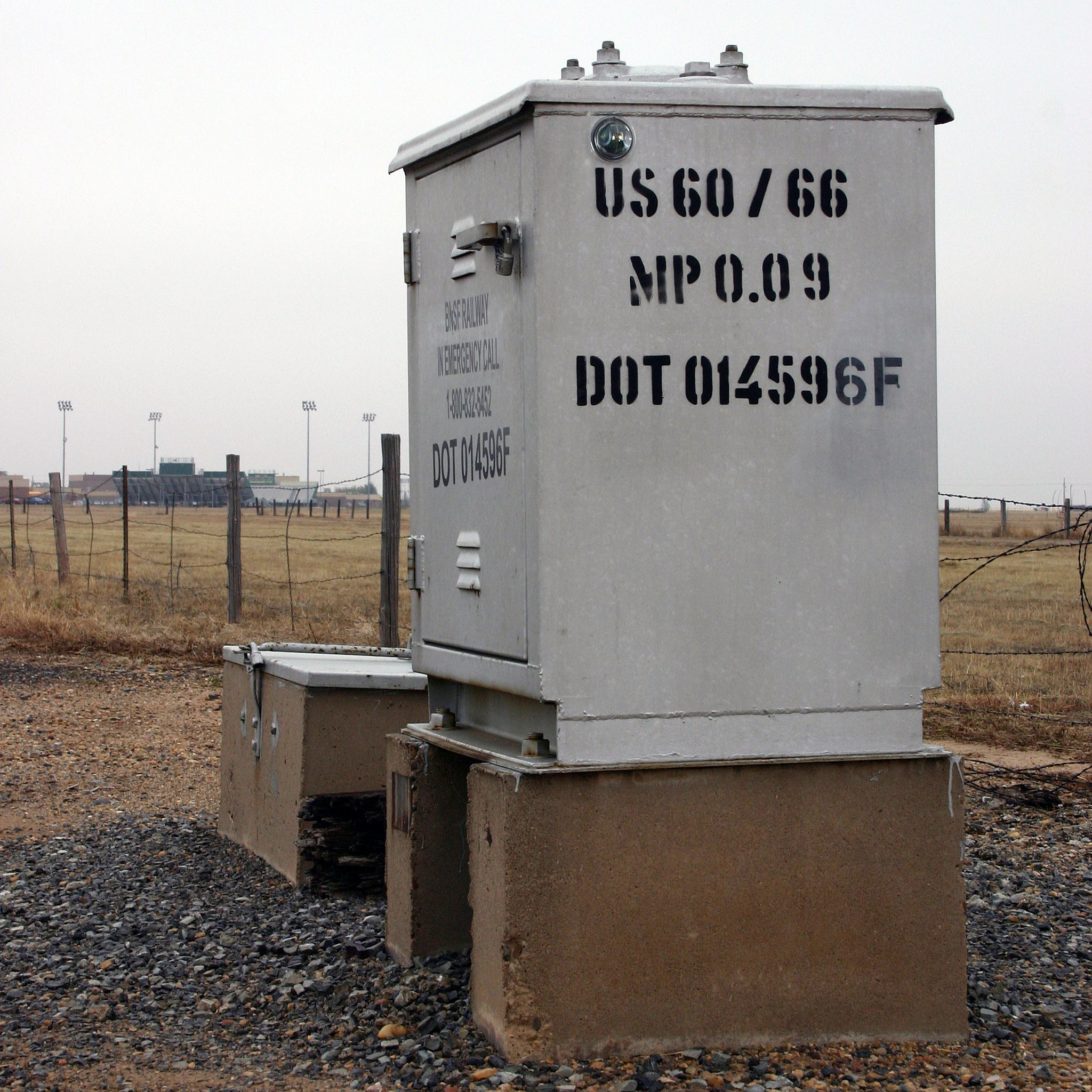
Heading out of town, we find this railroad electric box, which dates back to when Business Loop 40 was actually signed as real live US-66! [Kevin photo.]
A nice set of older signs in Groom.
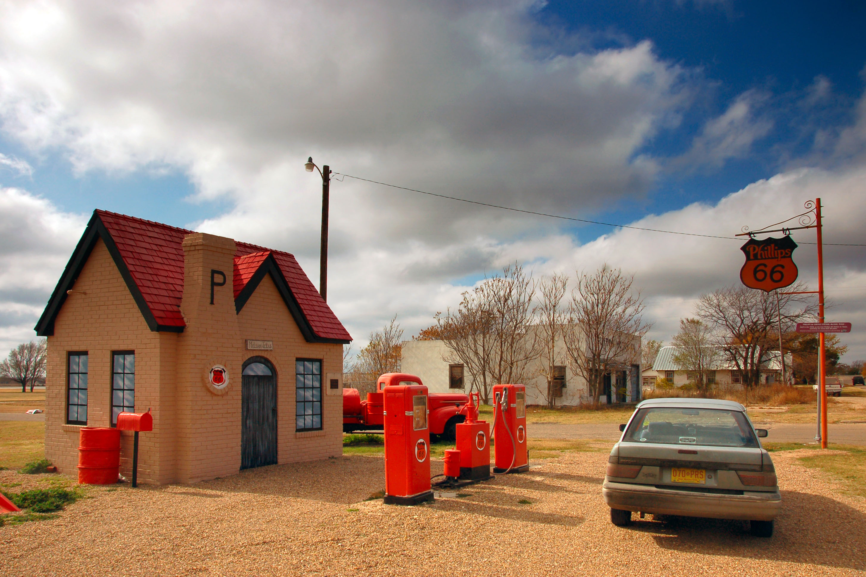
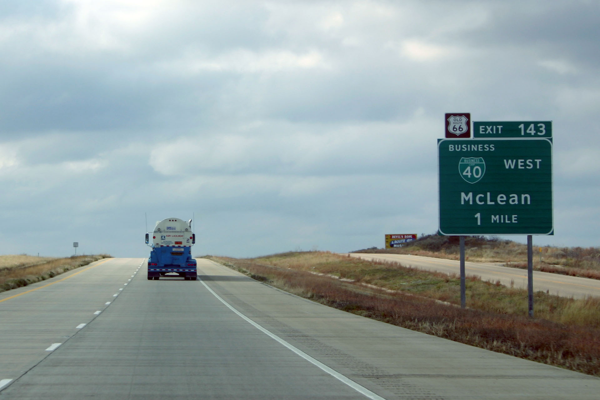
A restored gas station in McLean, with a vehicle not quite awesome enough to be a classic.
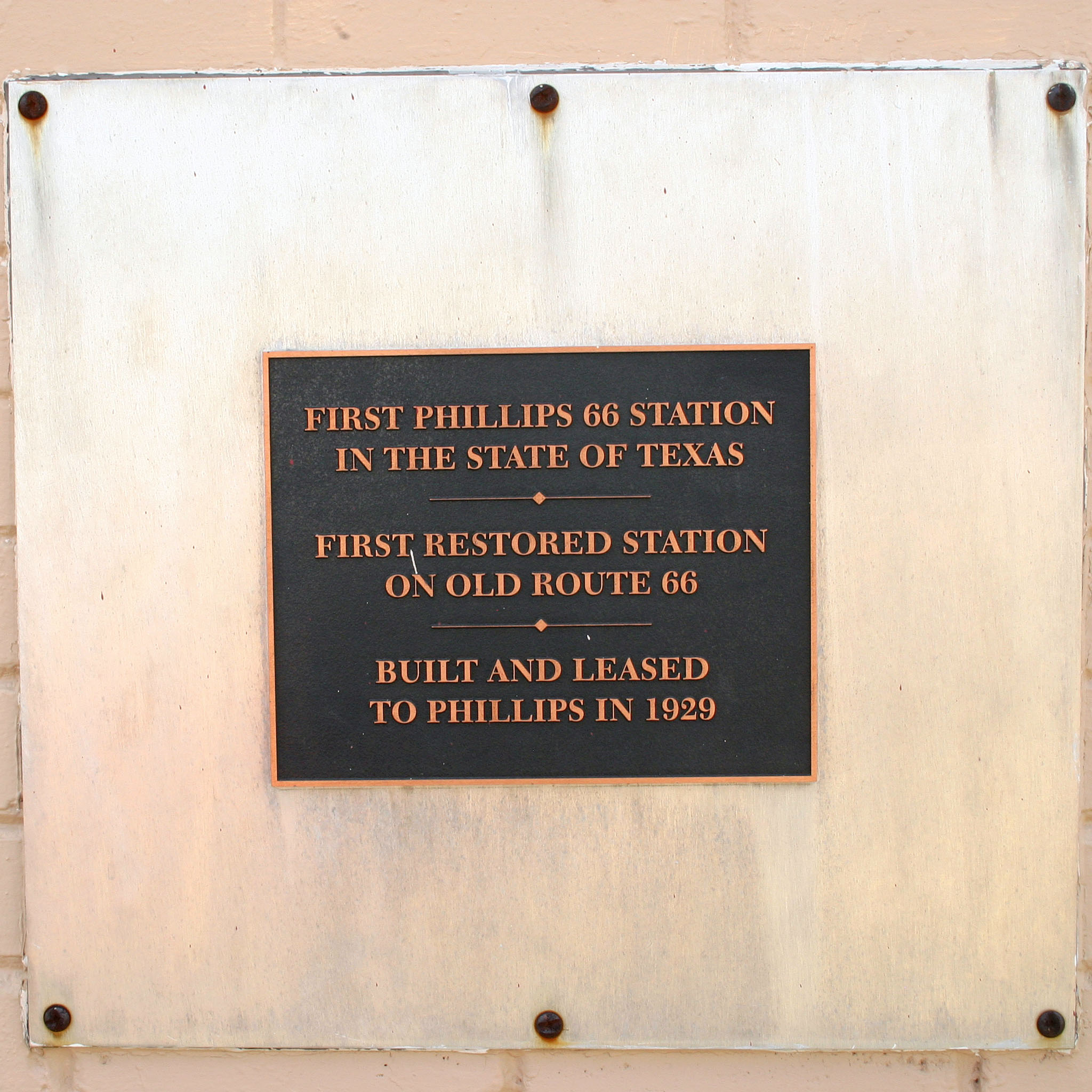
Details about the Phillips 66 station. [Kevin photo.]
An abandoned gantry that was originally sized for 20″ (1950s) shields! Alas, there are no Texas US 66 cutouts left here.
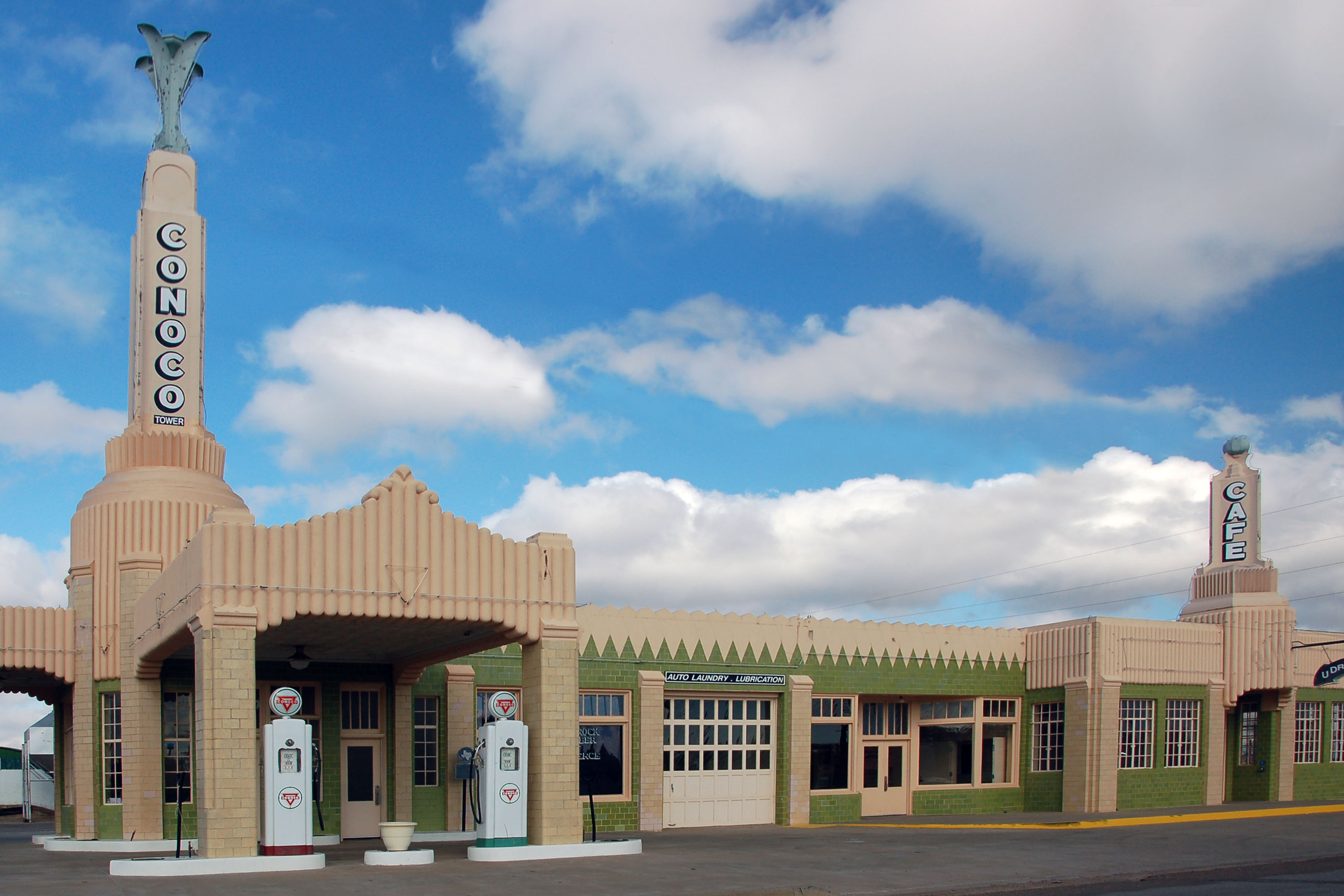
This Conoco station is in Shamrock.
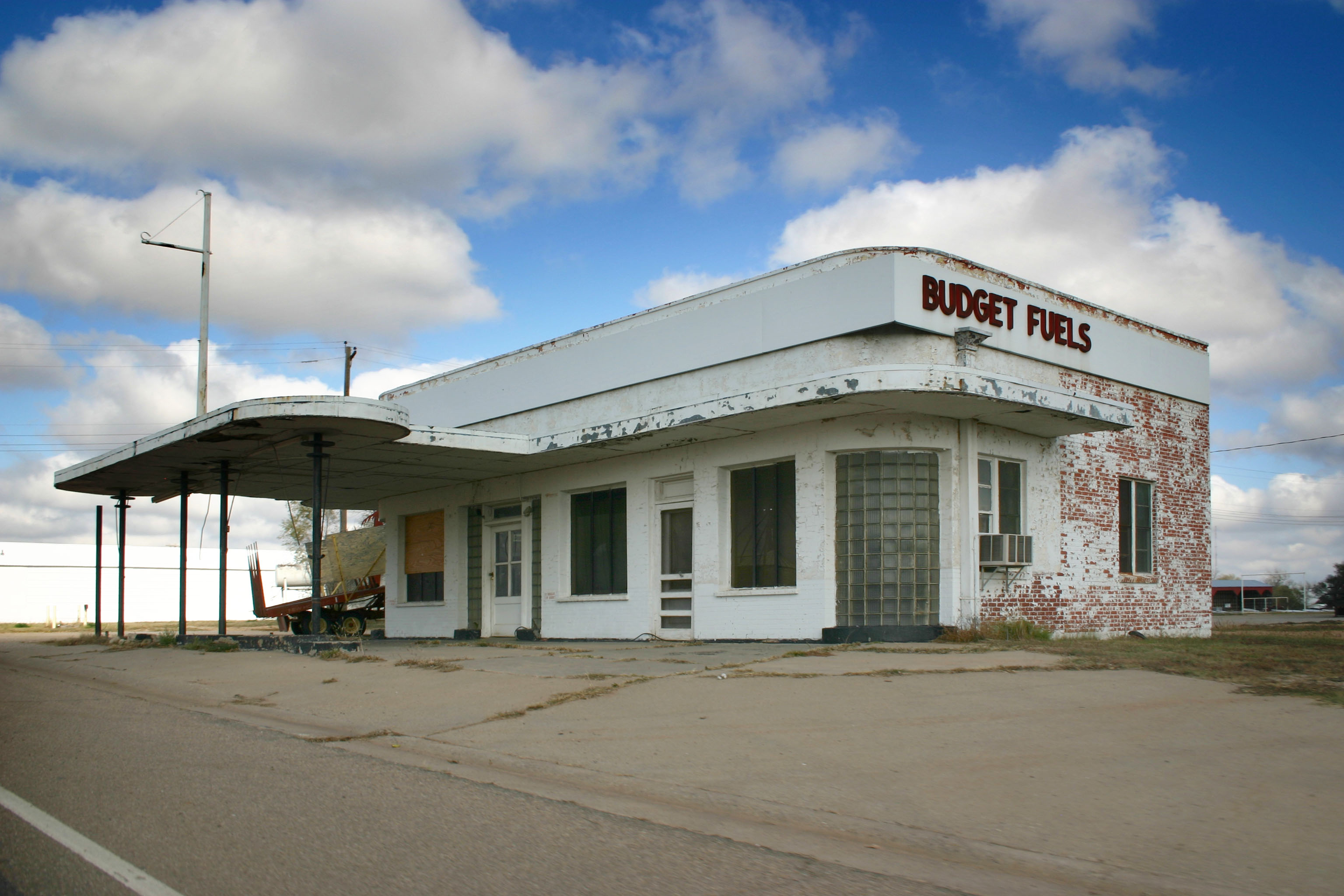
This gas station has seen better days. [Kevin photo.]
And here’s where we realize that Kevin has to catch a plane, so we hightail it back to Amarillo. [Kevin photo.]
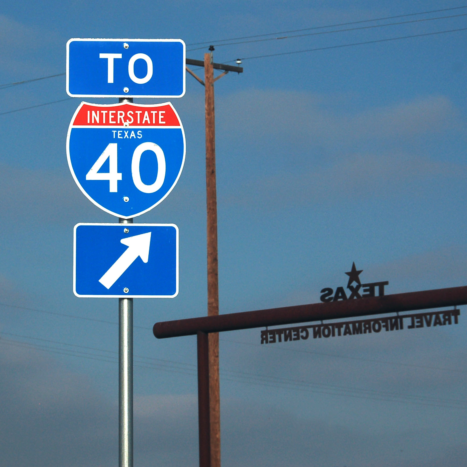
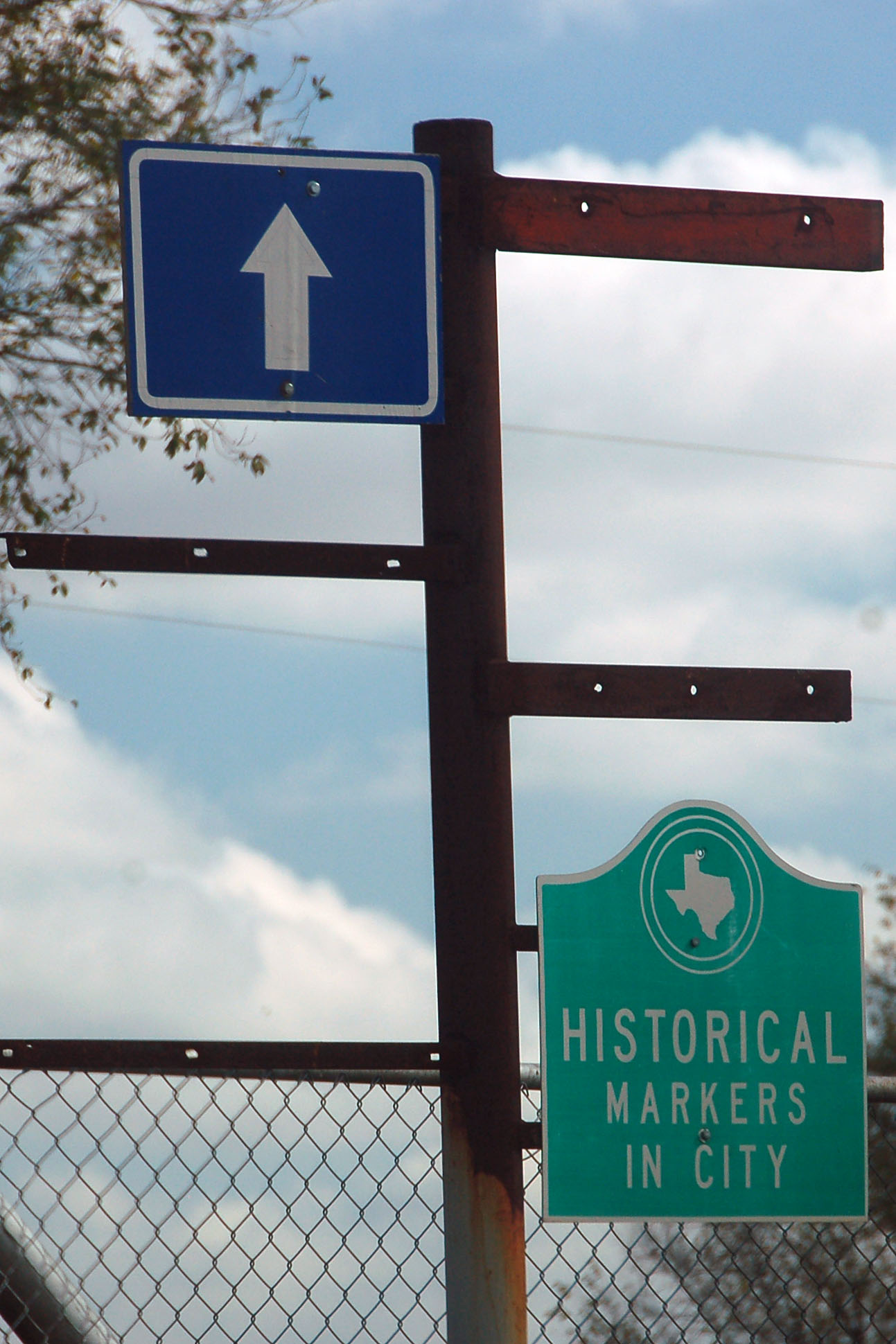
We’re back in Amarillo, which is where this rest area and information center is.
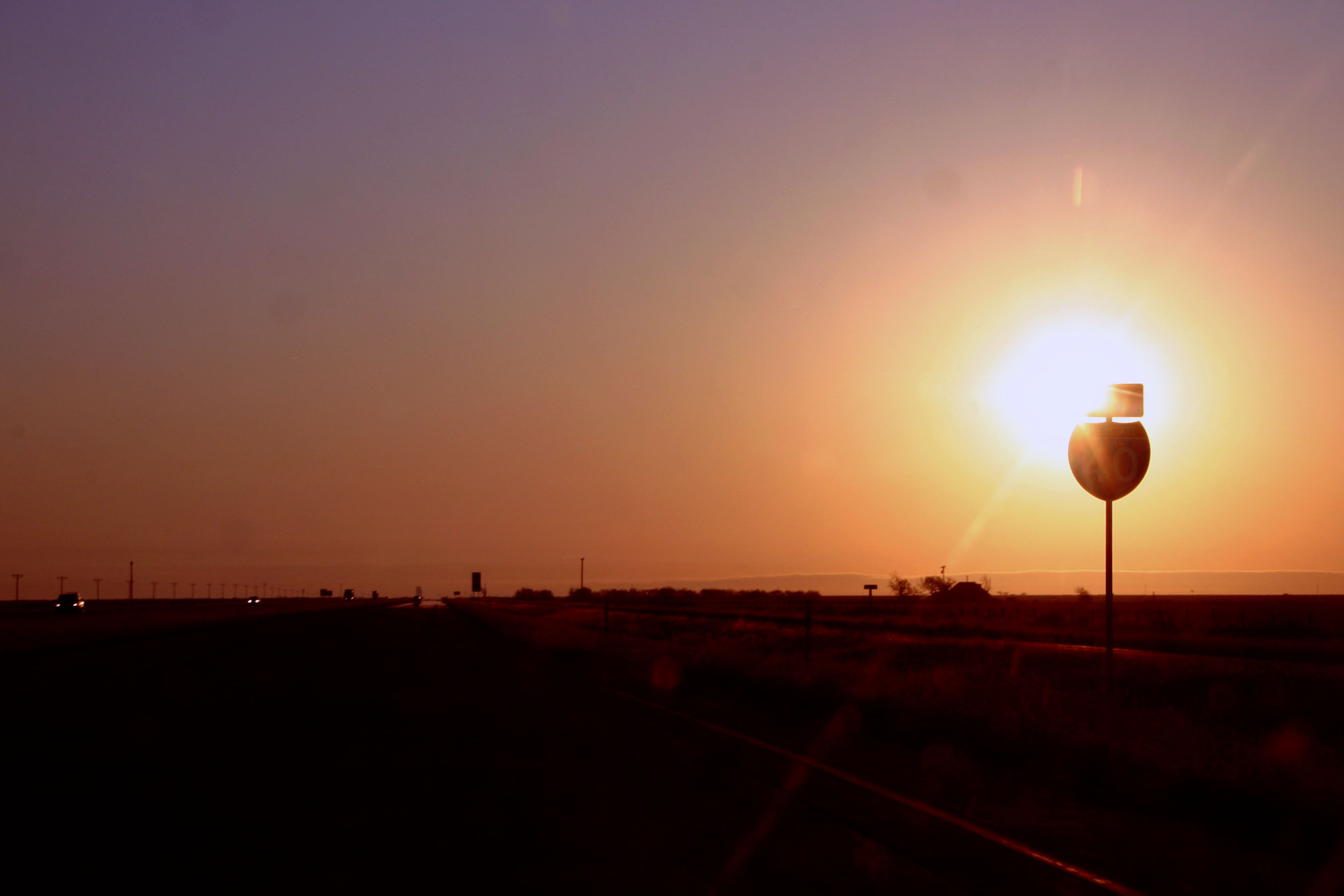
Now I get to drive home, taking US-385 north from Vega.
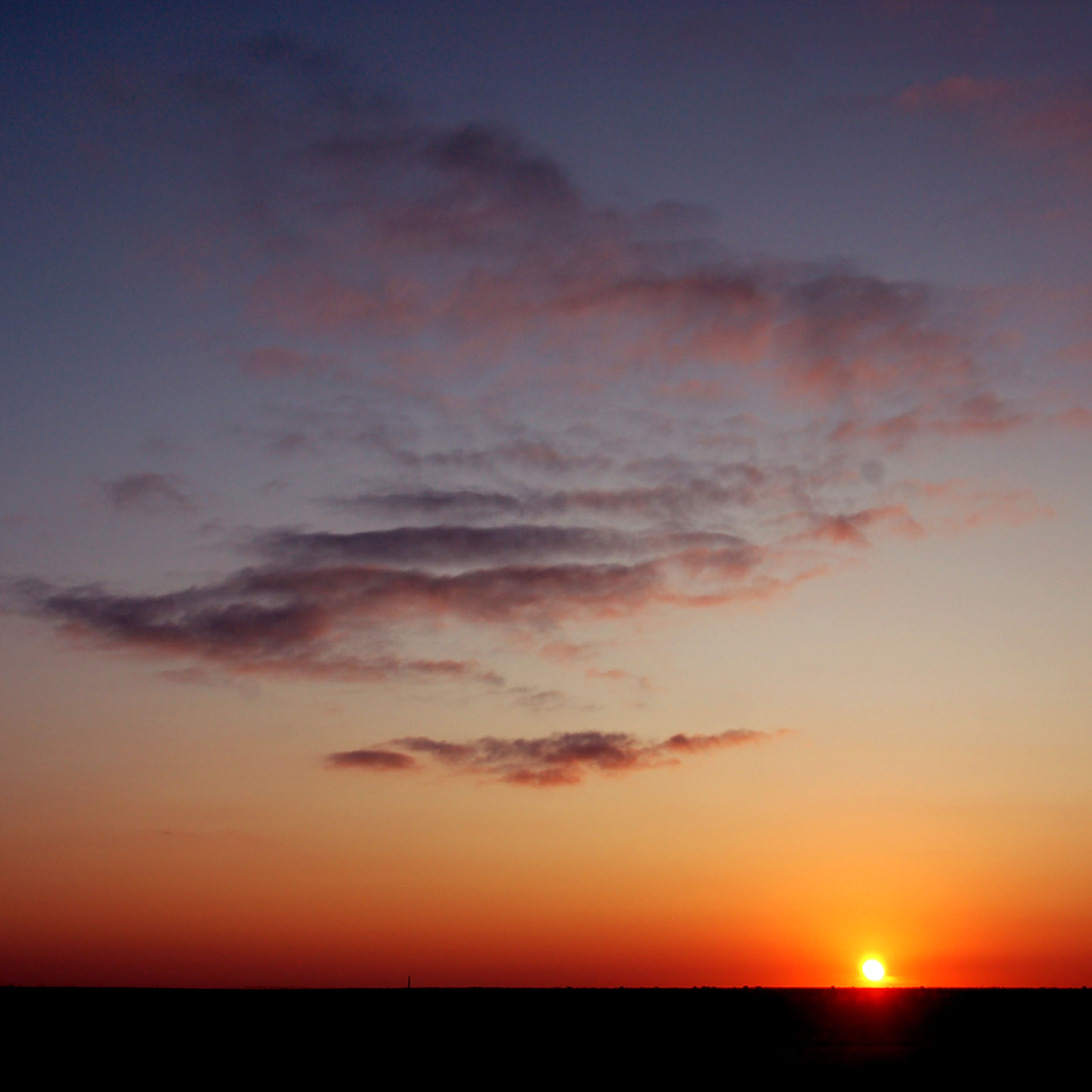
Sunset, somewhere over the Texas plains.
One last Clearview sign, just before the New Mexico border.
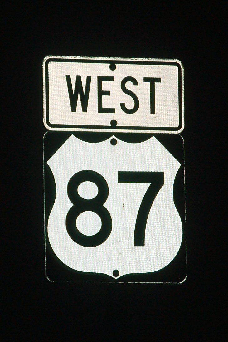
Something’s not quite right with this sign! It should be west US-64 and north US-87.
And that’s all for this trip. Don’t know yet what I’ll post next – maybe Scott N’s long-awaited Oklahoma and Texas photos?


These are great road photos, just right up there among the best. They really gave me a feel for the road out there.
Is it just me, or do the Cadillacs in the first photo look like they’re miniatures made of paiper-mache?
they do look like miniatures, because of the extremely shallow depth-of-field of the photo. It makes it look like a macro lens was used on a close-up of a scale model.
glad you like the pictures :)
That cadillac ranch stop…It dont look like much of anything anymore. The cars are rusting away and will fall soon And all the vandals have tore the cars up