
Connecticut Road & Highway Photo Guides

Sitemap to road and highway photo guides covering the state of Connecticut.
Interstates

 Interstate 84
252 photos
 Interstate 91
271 photos
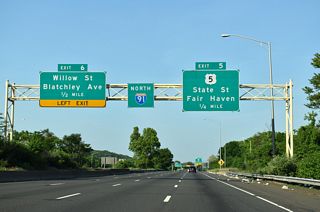
 Interstate 95 - Governor John Lodge Turnpike
450 photos
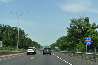
 Interstate 291
38 photos
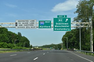
 Interstate 384
58 photos
 Interstate 691
64 photos
State Routes
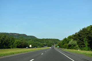
 Route 2
25 photos
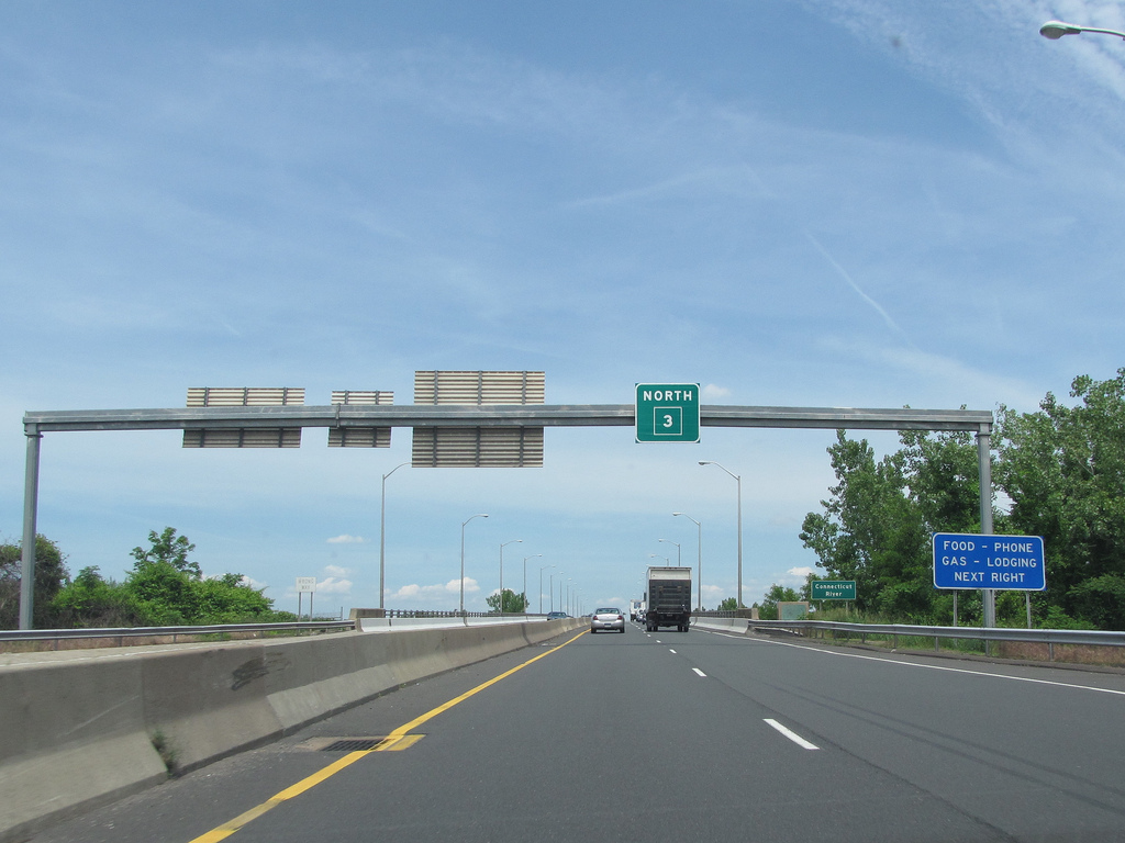
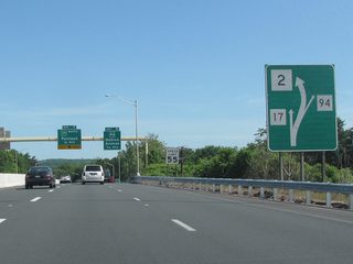
 Route 3
13 photos
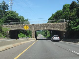
 Route 15
22 photos

 Route 34
Informative Guide

 Route 72
17 photos
 Route 184
3 photos
Photo Coverage of Roads and Highways in Connecticut
AARoads documents highways and roads across Connecticut with route-by-route photo guides organized by direction of travel. Coverage includes Interstate Highways, U.S. Routes and Connecticut State Routes.
Photo guides focus on highway signage, interchanges, route markers, city limit signs, county lines, and notable points of interest along each route. Urban guides feature closely spaced interchanges, complex directional signage and vestiges of unbuilt expressways.
New and updated photos for Connecticut routes are added periodically and cataloged on the updates page.
About the Connecticut Route System
Connecticut state routes are numbered between 2 and 999. Routes numbered above 399 are unsigned and meant for internal Connecticut Department of Transportation (ConnDOT) inventory purposes. Route duplication with Interstate and U.S. Highways is disallowed. A detailed route log for Connecticut state routes is available at Connecticut Roads on Kurumi.com.
Photographic Contributors
Contributions and photography for the Connecticut guides by Alex Nitzman, Andy Field, Brent Ivy, Carter Buchanan, John Boren and Justin Cozart.
About Connecticut
- Capital:
 Hartford
 - Nickname: Constitution State
- Area: Ranked 48th in the U.S., 5,543 sq mi or 14,357 sq km
- Statehood: January 9, 1788 - 5th state
- Total Interstate Mileage: 346.17 miles
- Highest Point: south slope of Mount Frissell on the Massachusetts state line - 2,379 feet (725 meters) above sea level
- Lowest point: Long Island Sound at sea level
- Number of Counties: 8
Last updated: Friday March 10, 2023