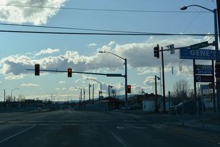
Airport Way - Fairbanks
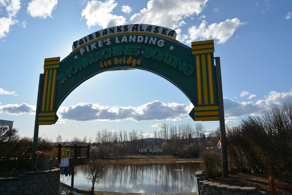
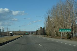
Pike's Landing is a commercial area just off Airport Way along the Chena River. - 05/08/2023

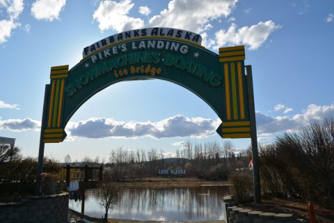
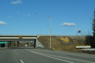
The Love Alaska sign lies across the Chena River from Pike's Landing and Airport Way in Fairbanks. - 05/08/2023
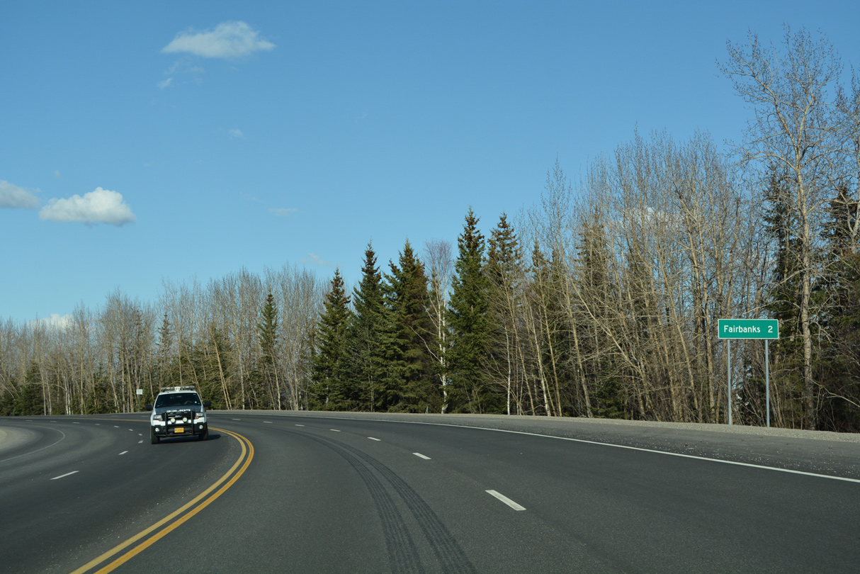
Airport Way connects the passenger terminal at Fairbanks International Airport (FAI) with the city of Fairbanks south of Downtown. The 6.04 mile long controlled access arterial also links with SR 3 (Mitchell Expressway) and University Avenue at the census designated place of College.
Airport Way was initially built as a two lane roadway. Started in June 1966, a $3.5 million project reconstructed the arterial to four lanes with curbs and gutters. Work extended 2.5 miles from Gillam Way west to University Avenue. Alaska Highway Department officials anticipated completion of paving work to Peger Road by June 1, 1967.1 Expansion to four lanes was completed by the week of November 28, 1967. Four laning the arterial required the addition of traffic lights at University Avenue, the Westage entrance (Market Street), Peger Road, Moore Street, Lathrop Avenue, Cowles Street and the Lathrop High School crossing.2 A later proposal to upgrade Airport Way included building an interchange at Peger Road to handle increased truck traffic.3
Historically Airport Way was the easternmost extent of Alaska State Route 3. SR 3 followed University Avenue south and Airport Way east to SR 2 initially along Cushman Street. SR 3 was lengthened east along Airport Way to the extension of SR 2 along Richardson Highway when it opened to traffic.
Airport Industrial Road - East

Airport Industrial Road heads 0.80 miles northeast from Dale Road to become Airport Way.
05/08/23
Airport Way - East
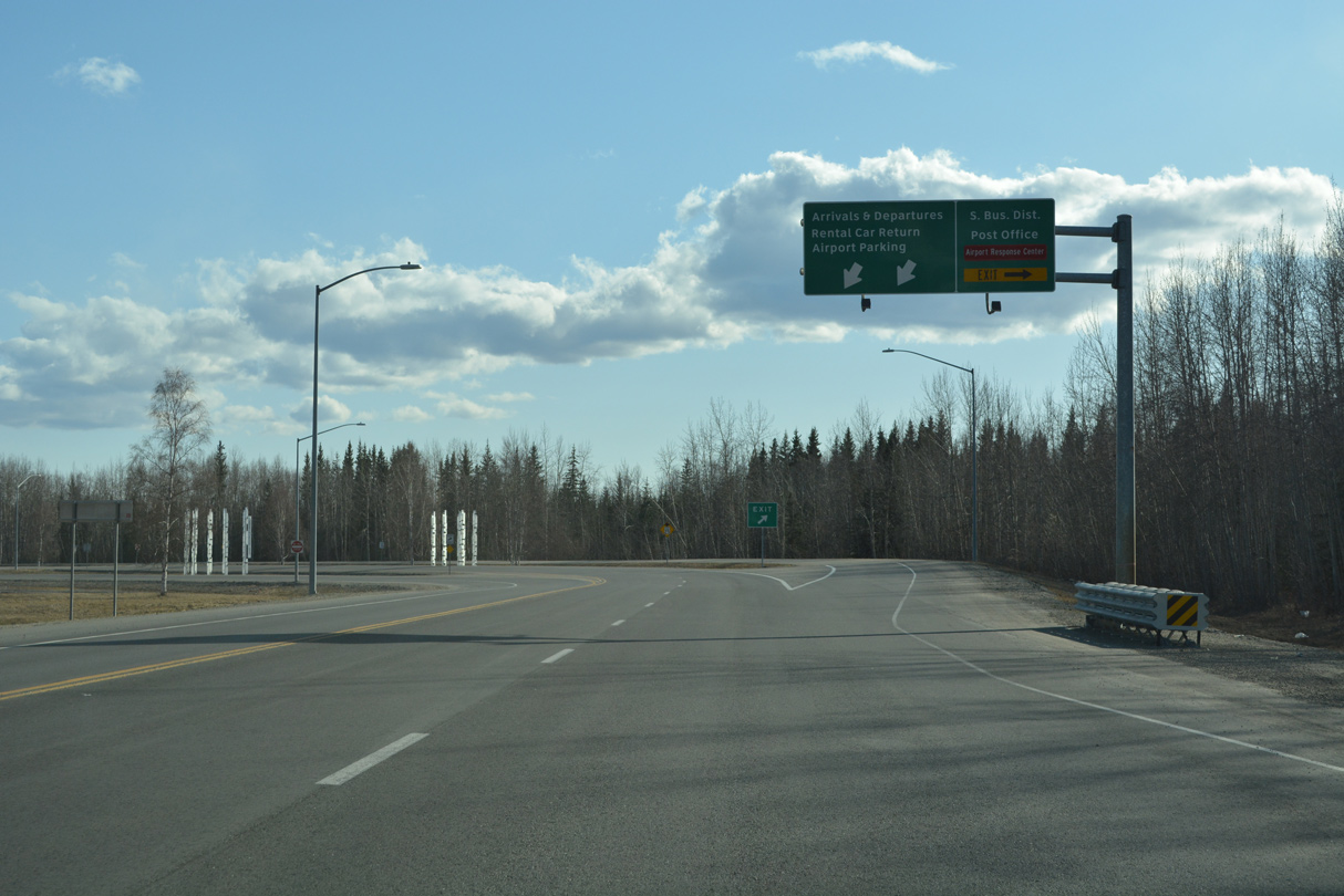
Airport Way expands to a four lane boulevard leading northeast from the ramps to the passenger terminal at Fairbanks International Airport (FAI).
05/08/23

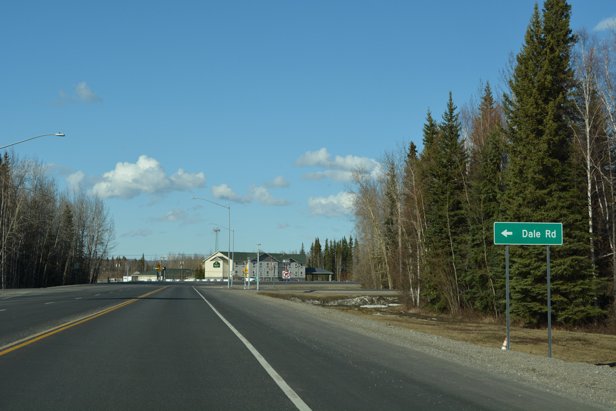
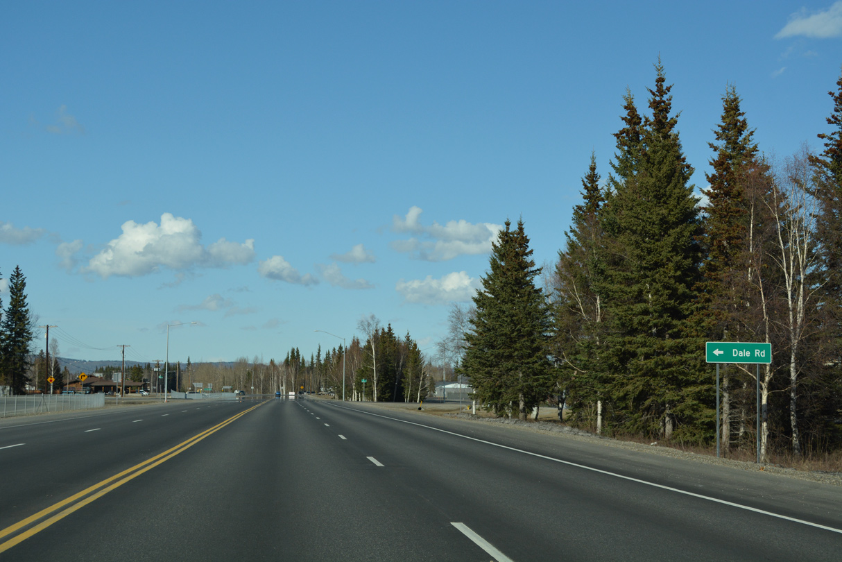
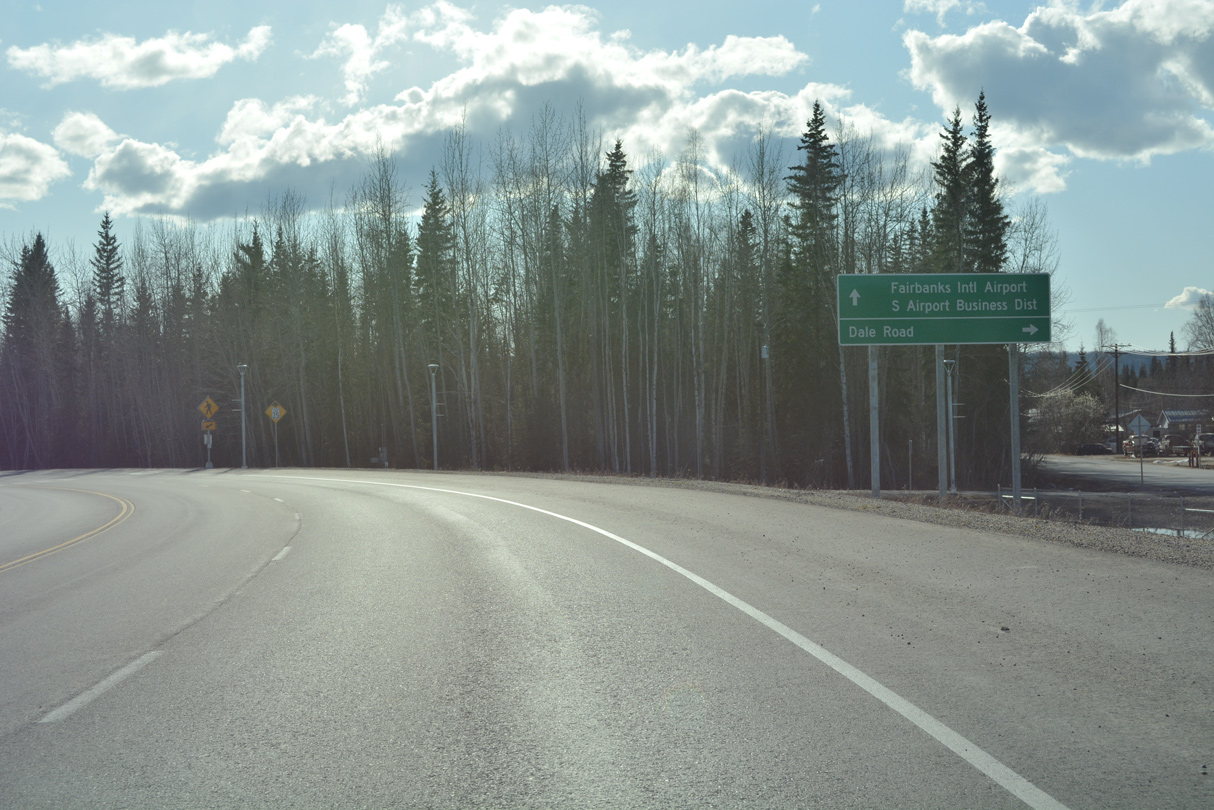
Dale Road loops 2.13 miles north from Airport Industrial Road to Airport Way.
05/08/23
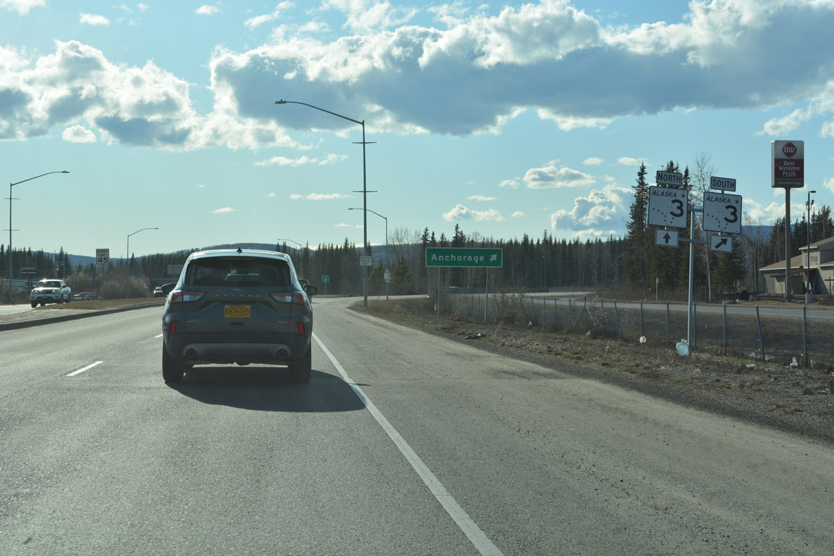
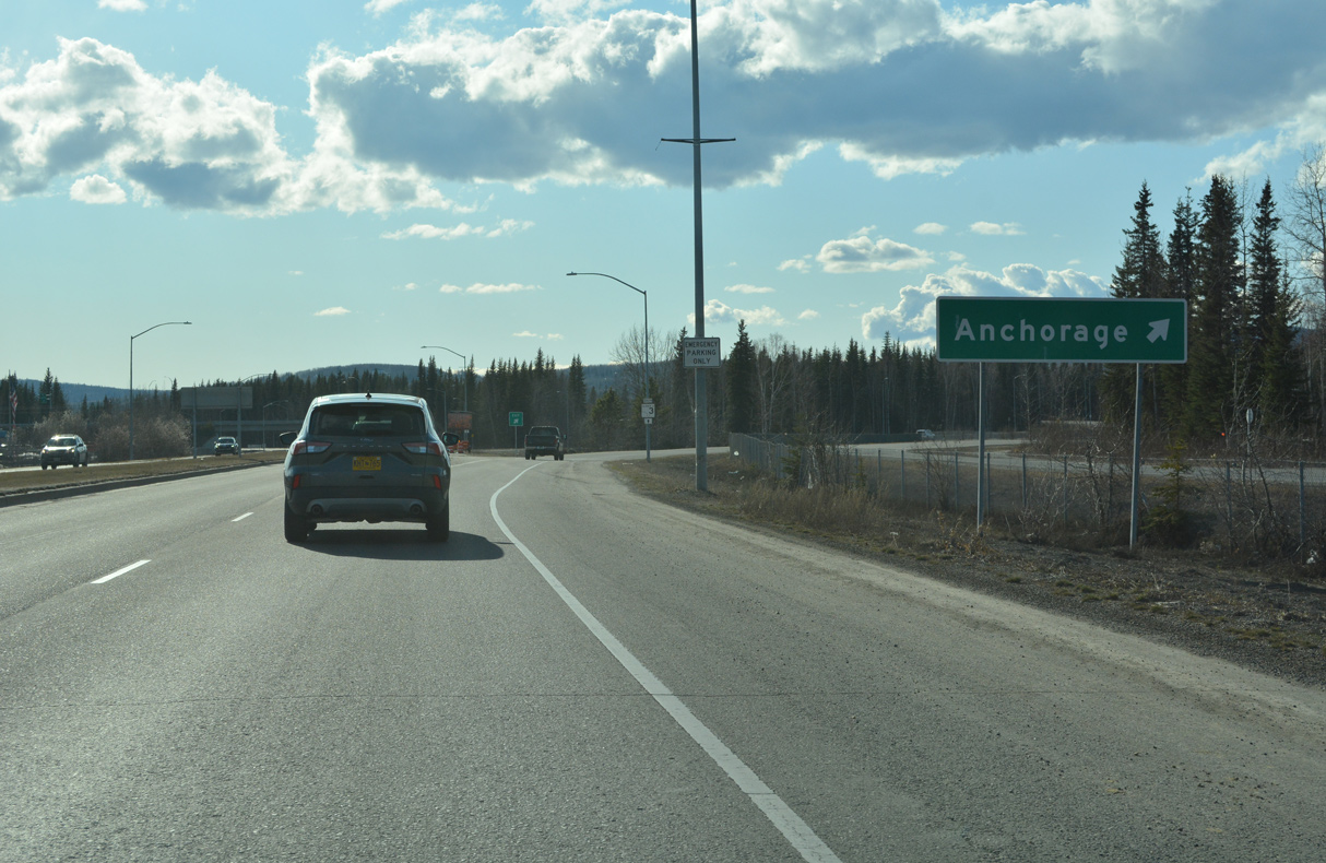
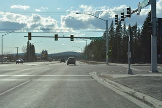
Curving east away from Fairbanks International Airport (FAI), Airport Way enters a six-ramp parclo interchange with SR 3 (Mitchell Expressway).
05/08/23

SR 3 is unmarked along Airport Way eastbound.
05/08/23
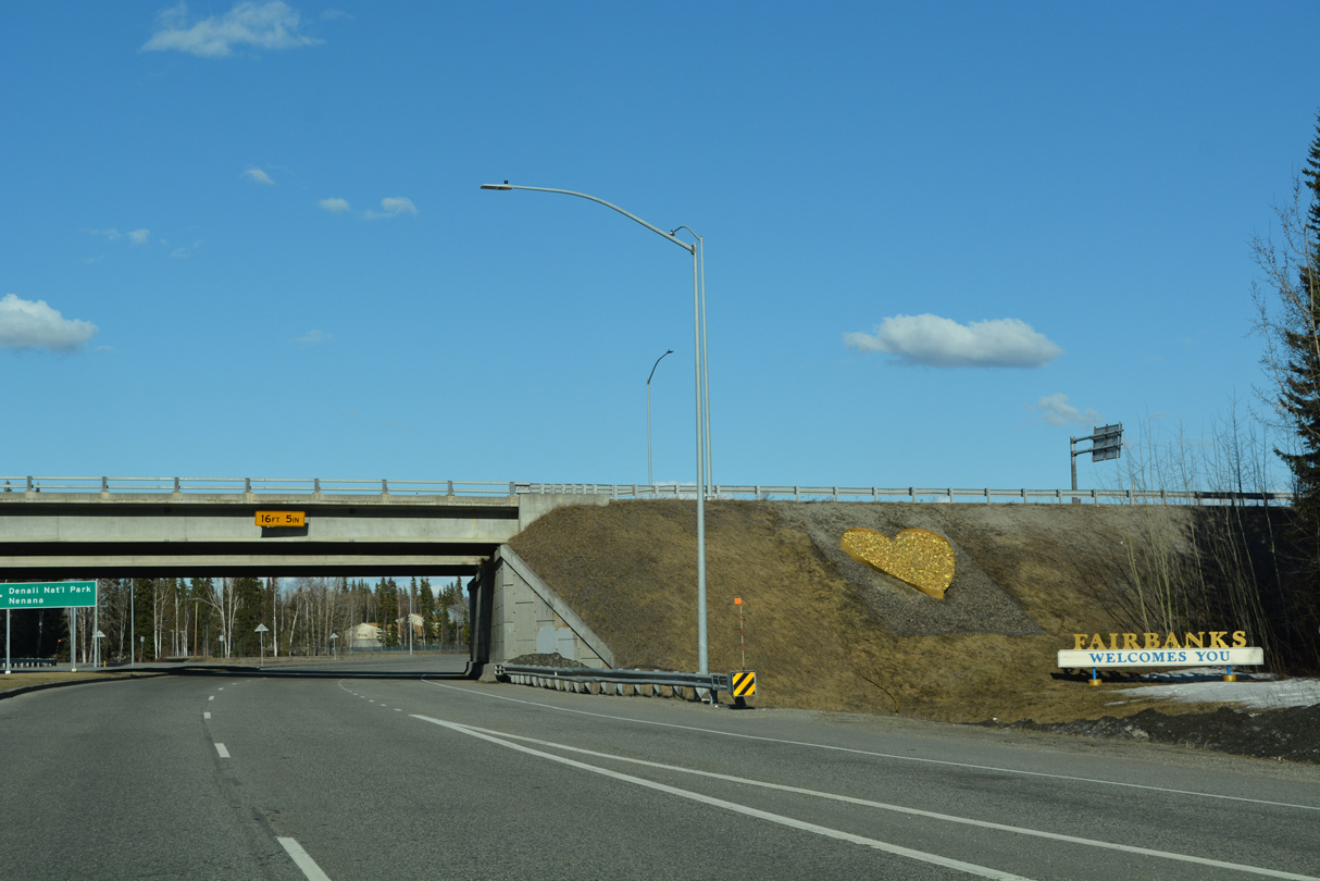
A Fairbanks welcome sign appears within the exchange at SR 3 (Mitchell Expressway) for tourists arriving from FAI Airport.
05/08/23

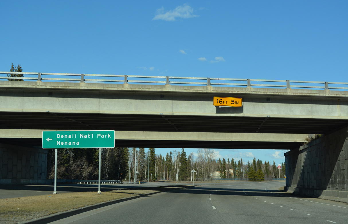
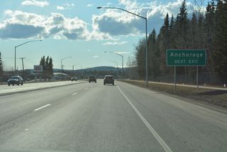
SR 3 travels southwest from the Fairbanks area along Parks Highway to Nenana and south from there to Denali National Park.
05/08/23
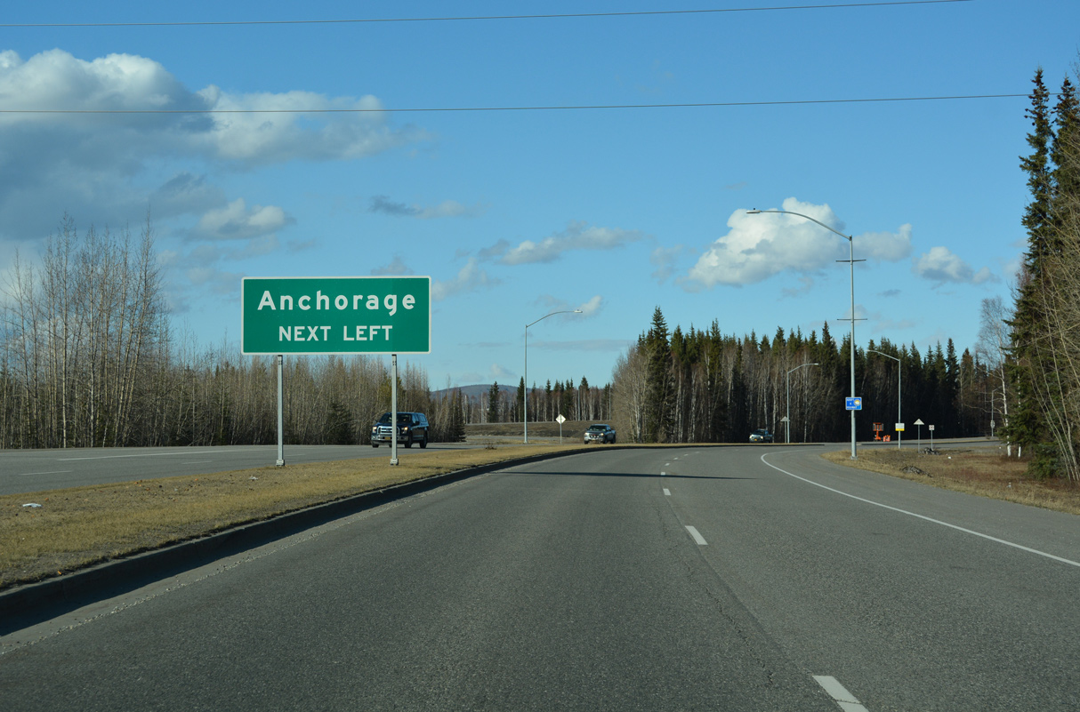
SR 3 (Parks Highway) travels 323.7 miles overall from SR 2 (Richardson Highway) in Fairbanks to SR 1 (Glenn Highway) northeast of Anchorage.
05/08/23
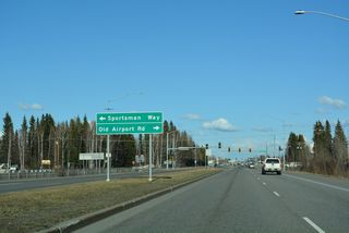
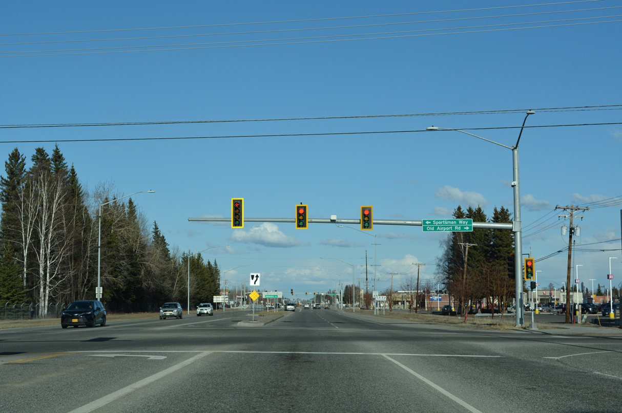
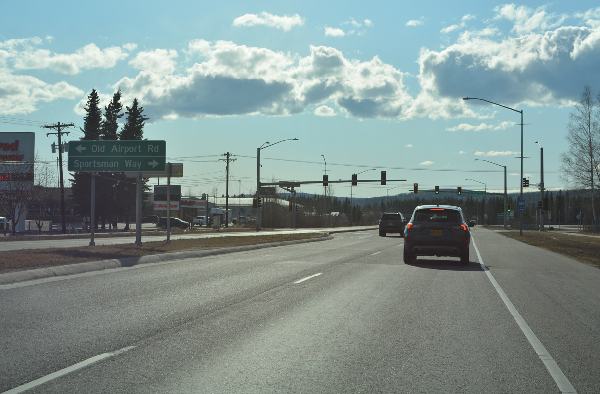
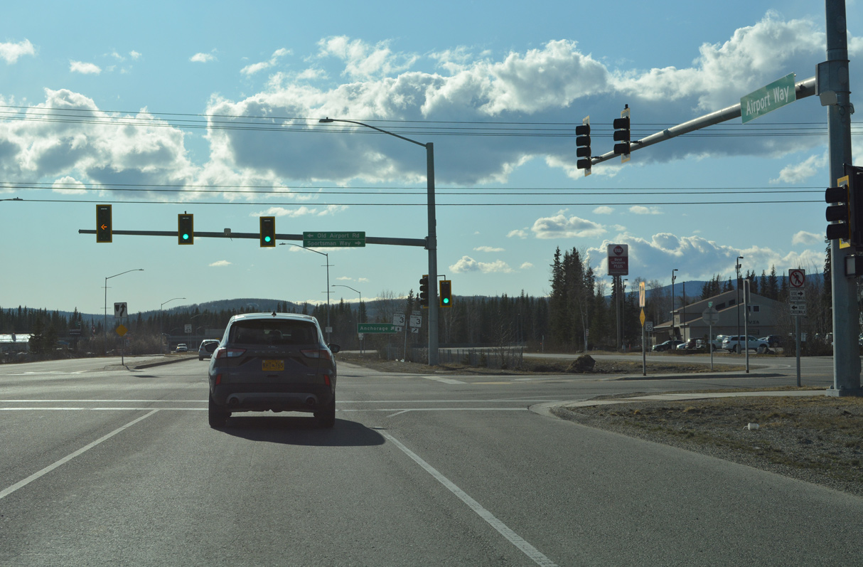
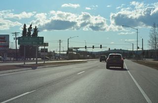
Old Airport Road connects the exit ramp from SR 3 (Mitchell Expressway) westbound to Airport Way east.
05/08/23

05/08/23
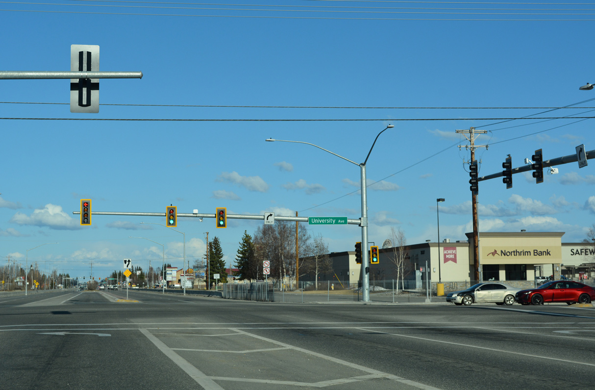
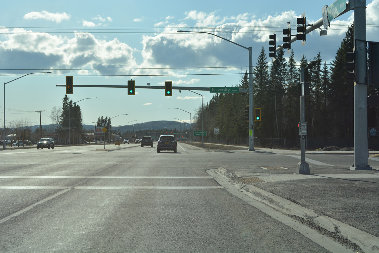
University Avenue leads south to air cargo facilities at FAI Airport and north across the Chena River to College and the University of Alaska Fairbanks.
05/08/23
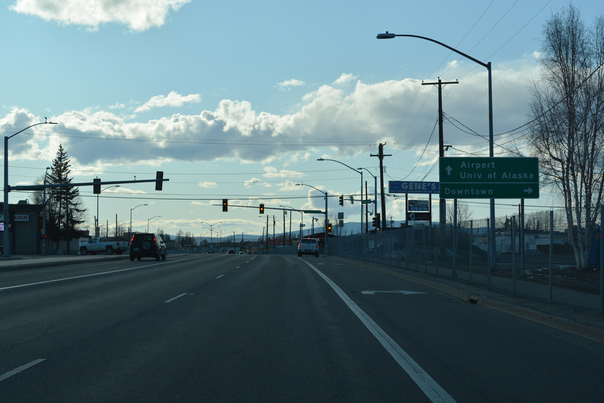
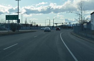
Airport Way - West
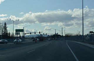
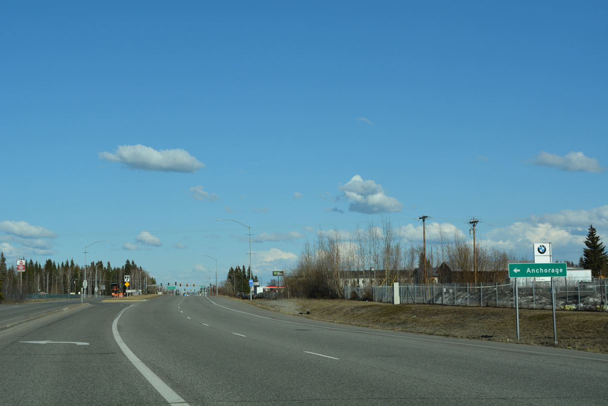
Airport Way leads west from a Continuous Flow Intersection Median U-Turn (CFI-MUT) with SR 2 (Richardson Highway) and Gaffney Road to Noble Street.
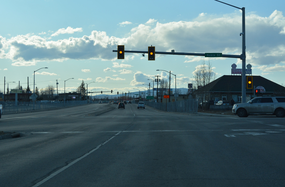
05/08/23
Noble Street leads north to the Fairbanks city center.
05/08/23
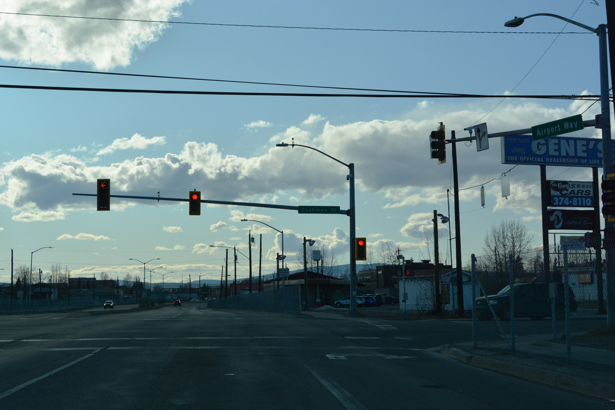
Cushman Street north runs through Downtown Fairbanks and south to the industrial area beyond Old Richardson Highway.
05/08/23
Cushman Street is the historic alignment of SR 2 prior to the completion of the Steese Expressway in 1977.
05/08/23
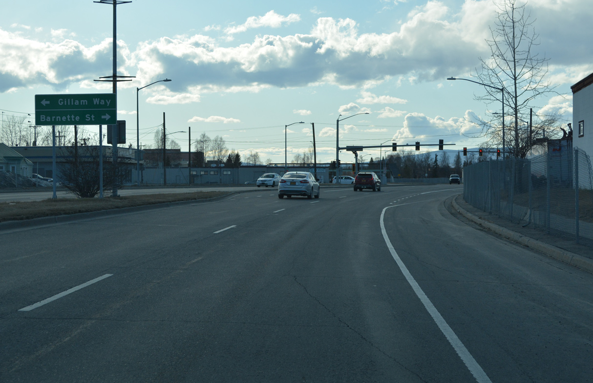
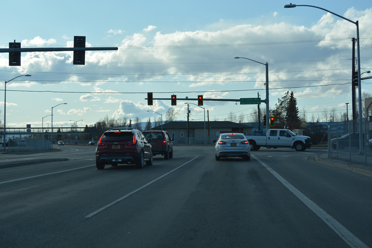
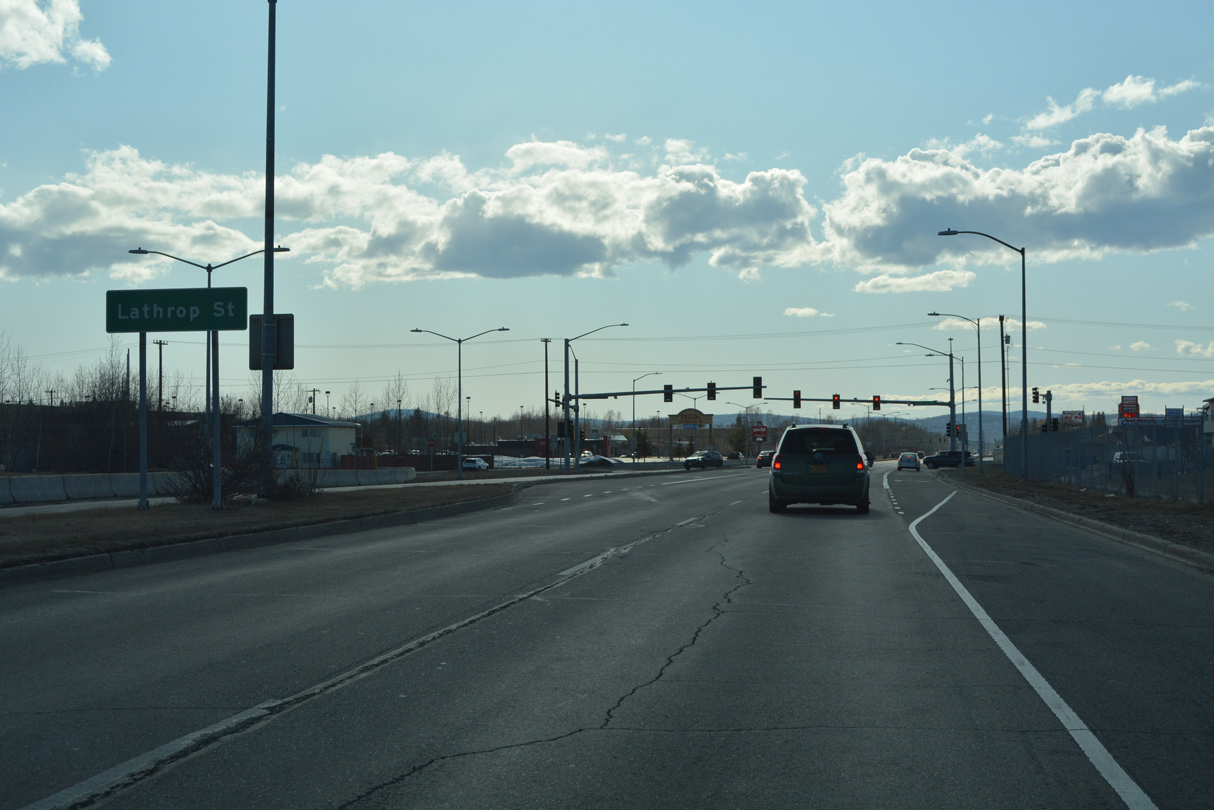
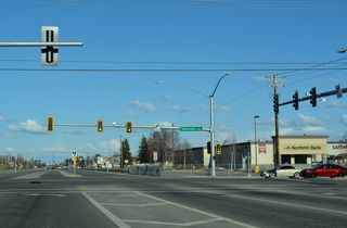
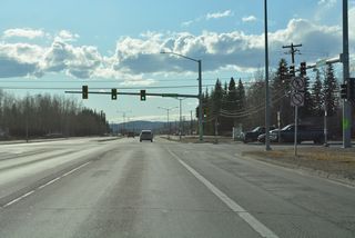
Gillam Way north and Barnette Street south come together at the succeeding traffic light on Airport Way westbound.
05/08/23
05/08/23
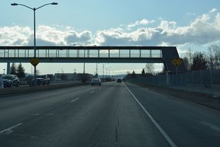
A pedestrian bridge spans Airport Way at Lathrop High School.
05/08/23
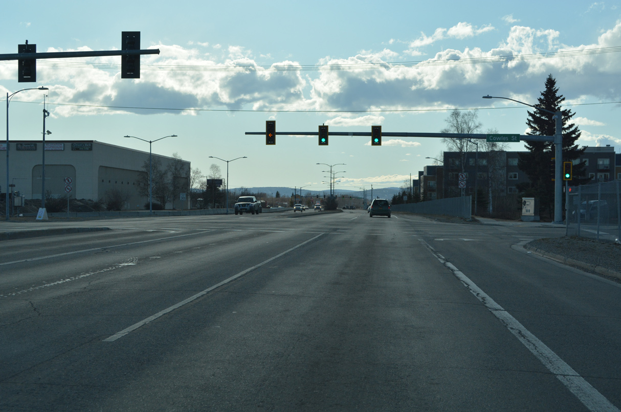
Airport Way west at Cowles Street.
05/08/23
05/08/23
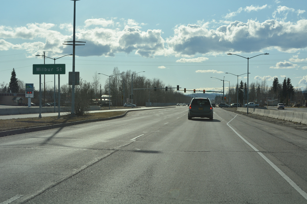
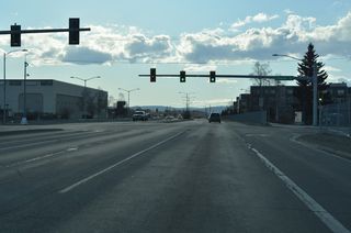
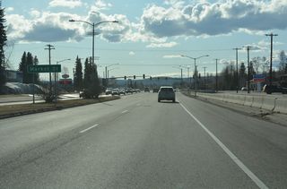
Wilbur Street intersects Airport Way north from South Davis Park and south from Carlson Center arena.
05/08/23
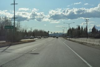
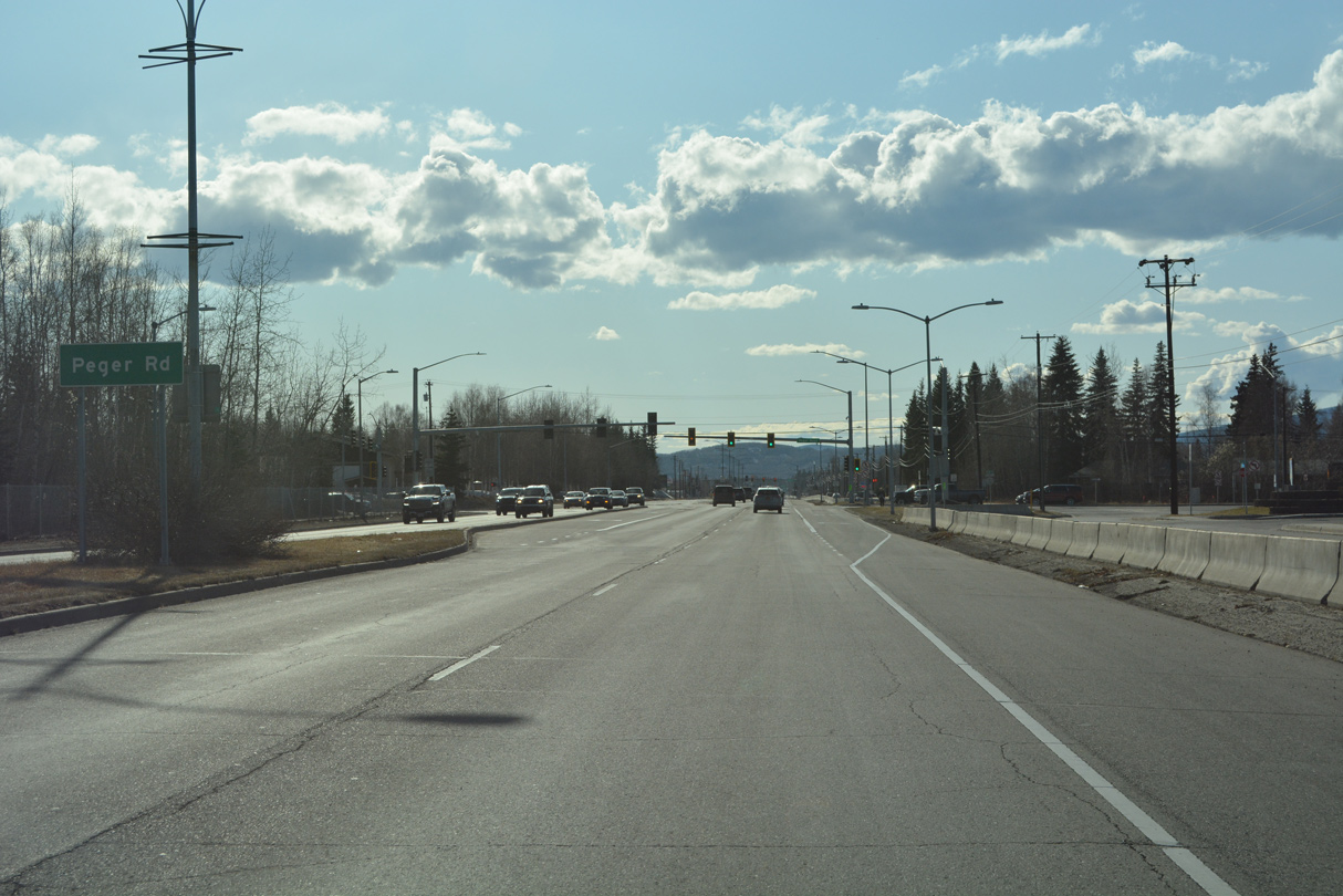
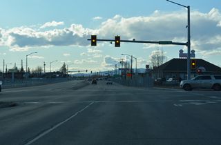
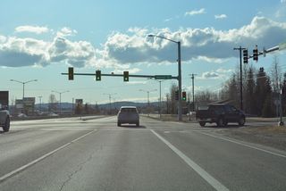
Airport Way meets Peger Road by Pioneer Park.
05/08/23
05/08/23
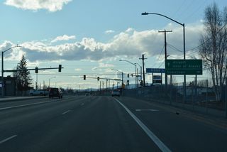
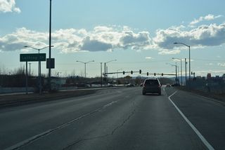
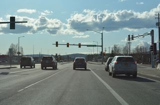
Airport Way next intersects Market Street to the Westgate neighborhood.
05/08/23
05/08/23

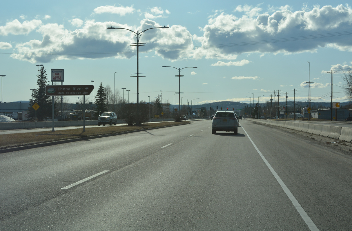
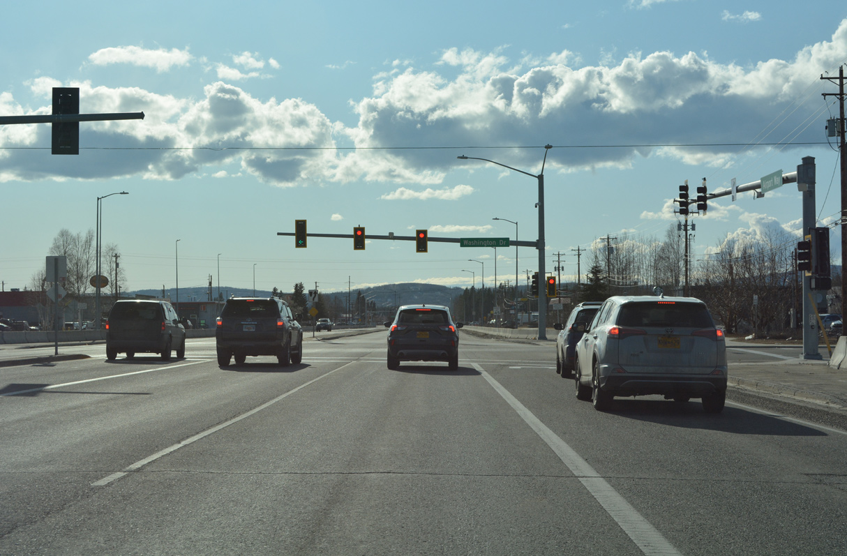
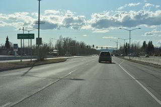
Forthcoming Washington Drive north to Geraghty Avenue west leads to Chena River State Recreation Site.
05/08/23
05/08/23
Airport Way originally ended west at University Avenue.
05/08/23
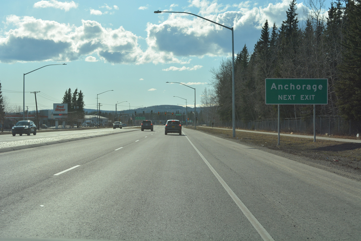
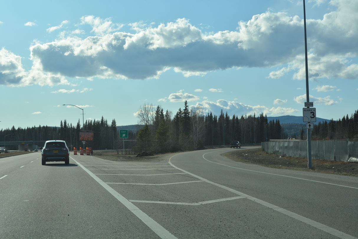
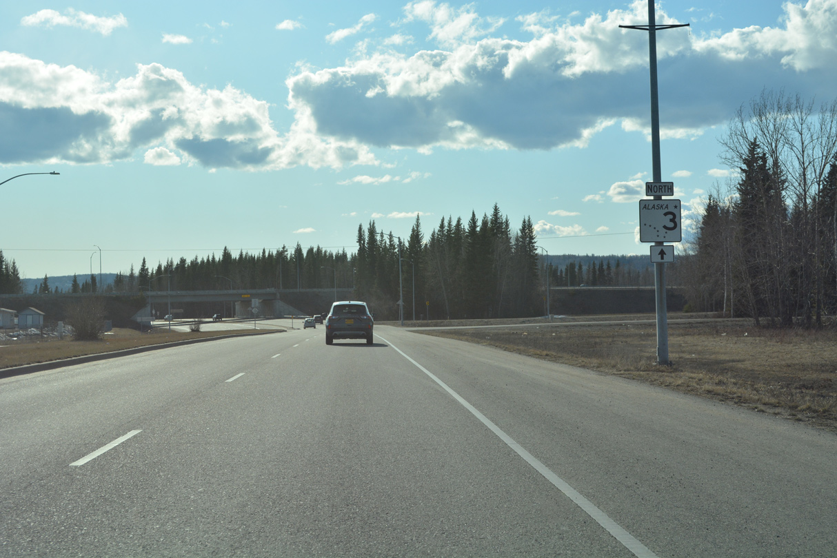
Airport Way advances west from University Avenue to a six-ramp parclo interchange with SR 3 (Mitchell Expressway).
05/08/23
05/08/23

05/08/23

SR 3 follows Mitchell Expressway east to SR 2 (Richardson Highway) in Fairbanks and northwest to Geist Road in College.
05/08/23
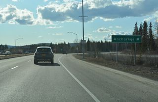
SR 3 along Parks Highway travels south to SR 1 (Glenn Highway) east of Wasilla and north of Anchorage.
05/08/23
05/08/23

05/08/23

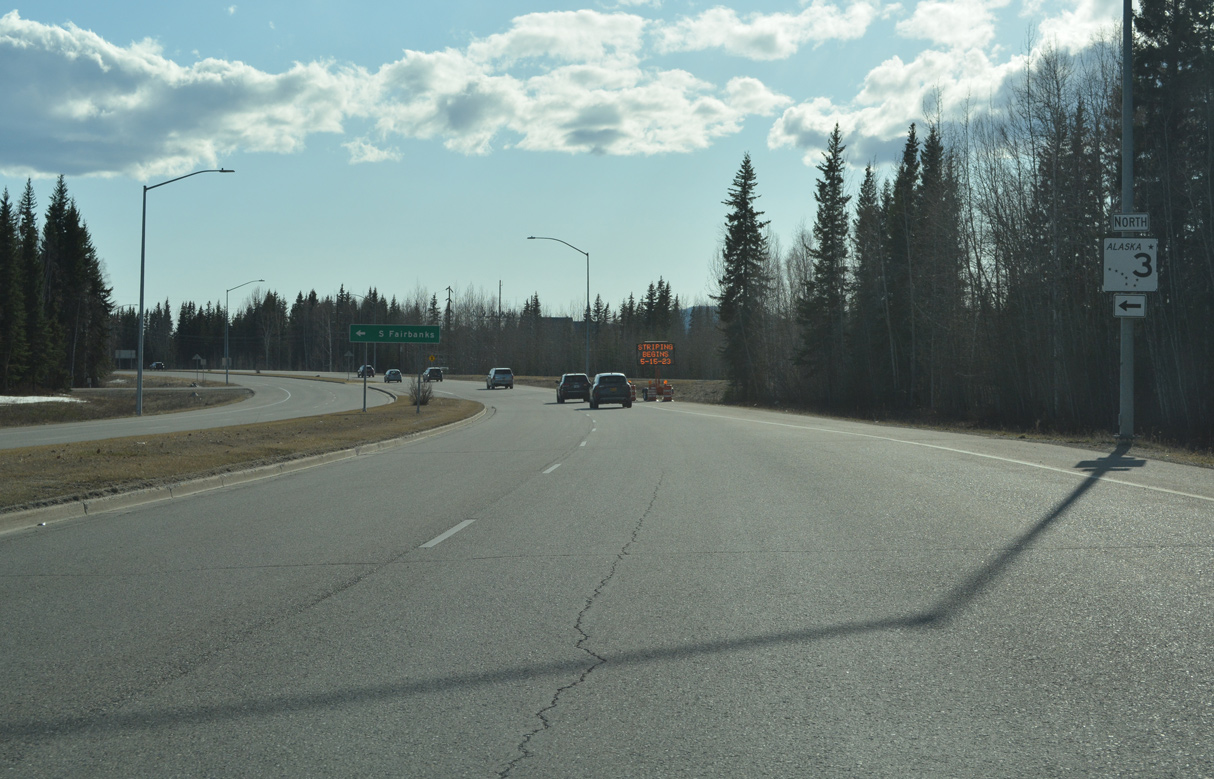
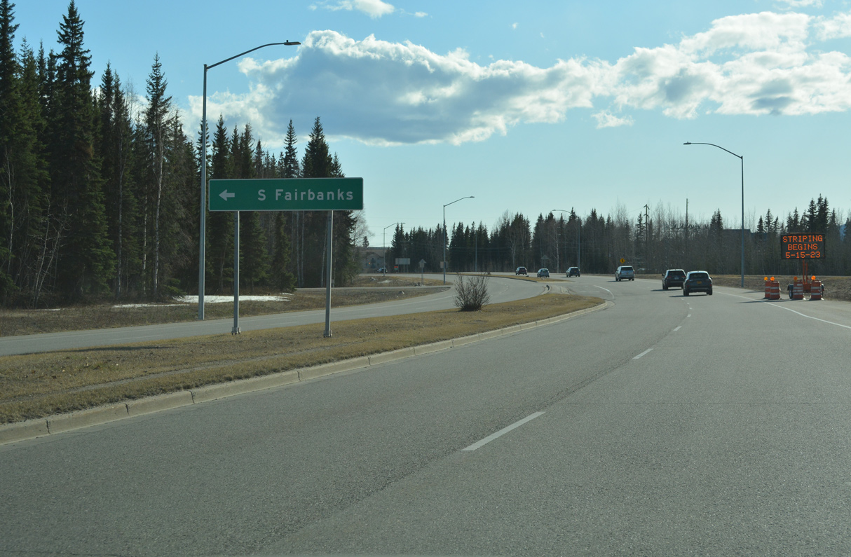
Mitchell Expressway takes SR 3 east along the South Fairbanks Industrial area.
05/08/23

05/08/23
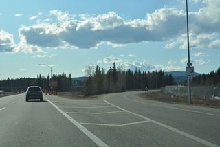
Continuing southwest from the exchange with Mitchell Expressway, Airport Way meets Dale Road west to residential areas along the Chena River.
05/08/23

Western Way connects Fairbanks International Airport (FAI) and Airport Way with Dale Avenue.
05/08/23

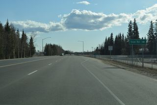
Airport Industrial Road branches south as Airport Way turns into the passenger terminal at Fairbanks International Airport (FAI).
05/08/23
References:
- "Four-Lane Airport Way Project Given Go-Ahead Sign." Fairbanks Daily News-Miner (AK), April 27, 1966.
- "Airport Way Opening Set." Fairbanks Daily News-Miner (AK), November 21, 1967.
- "City Wants 15 Road Projects." Fairbanks Daily News-Miner (AK), December 13, 1975.
Connect with:
Page Updated Wednesday June 21, 2023.