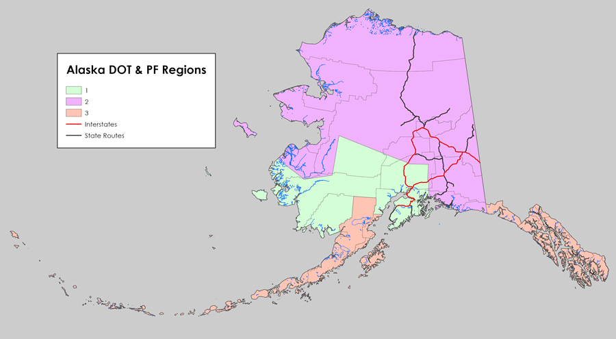
Sitemap to all pages covering the state of Alaska. Photograph contributions by Alex Nitzman and Brent Ivy.
About the Alaska Route System
Decorated with the Alaskan flag, the Alaska State Route Marker was established on August 3, 1955 by the Alaska road commission. Highway markers installed from that time onward were posted along on all major territorial roads and at major intersections to aid tourists. The route numbering system was previously in use by the road commission for several years, but vastly unknown to Alaskans. The initial numbering for the commonly known road names:1
- SR 1 – Richardson Highway
- SR 2 – Alaska Highway
- SR 3 – Glenn Highway
- SR 4 – Seward Highway
- SR 5 – Sterling Highway
- SR 6 – Steese Highway
- SR 7 – Elliott Highway
- SR 8 – Denali Highway
Population Statistics
| State Population | |||||
|---|---|---|---|---|---|
| 733,391 | |||||
| Metropolitan Populations | |||||
| Anchorage | 398,328 | Fairbanks | 95,655 | — | — |
| Top City Populations | |||||
| Anchorage | 291,247 | Fairbanks | 32,515 | Juneau | 32,255 |
| Wasilla | 9,054 | Palmer | 5,888 | Homer | 5,522 |
| U.S. Census Data, 2020 2020 Metropolitan statistical area, Wikipedia. |
|||||
About Alaska
- Capital:
Juneau
- Nickname: The Last Frontier
- Area: Ranked 1st in the U.S., 507,866 sq mi
- Statehood: January 3, 1959 – 49th state
- Total Interstate Mileage: 1,088 miles
- Highest Point: Denali 20,310 feet above sea level
- Lowest point: sea level
Sources:
- “Highways Get Route Markers.” Fairbanks Daily News-Miner (AK), August 3, 1955.
Page posted June 21, 2023.
