
State Route 1 North - Glacier View to Nelchina
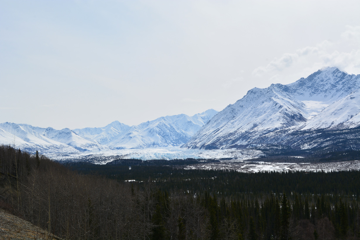
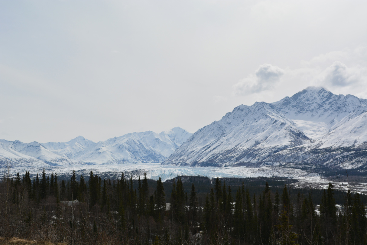
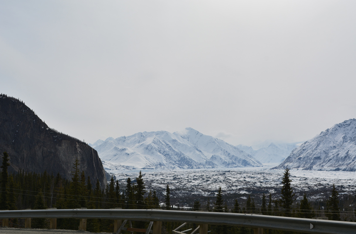
Viewing Matanuska Glacier from Matanuska Glacier State Recreation Site. Matanuska Glacier spreads southward from the Chugach Mountains to the Matanuska River north of Mount Wickersham. 05/07/23
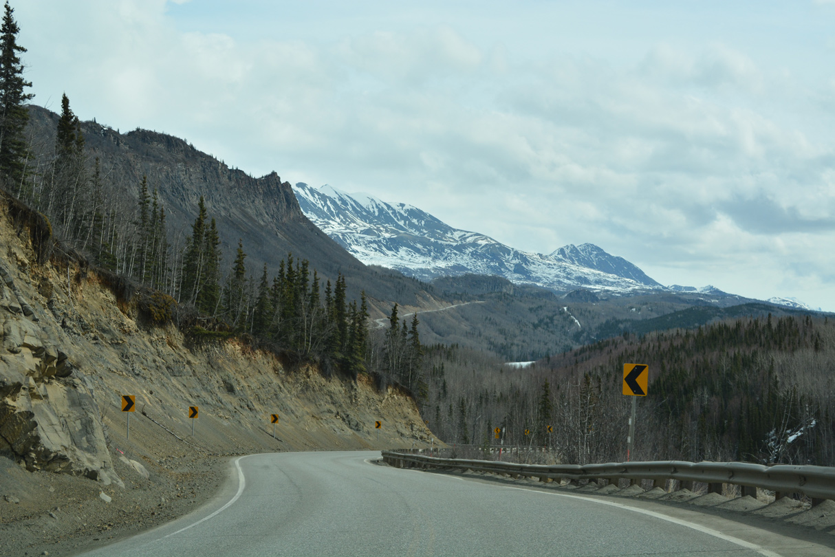
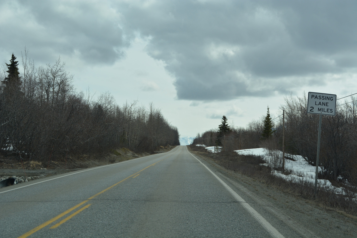
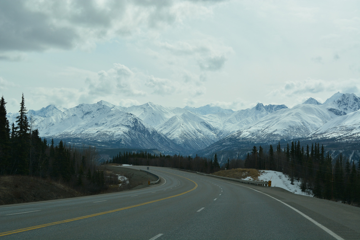
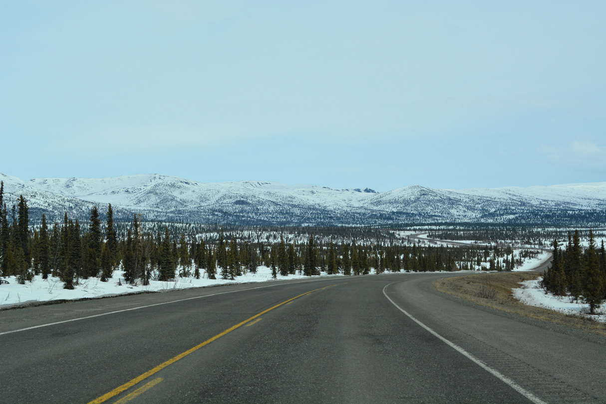
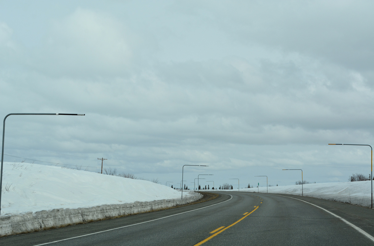
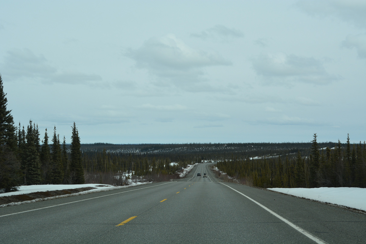
SR 1 (Glenn Highway) navigates through a series of S-curves east ahead of Long Lake.
05/07/23
05/07/23
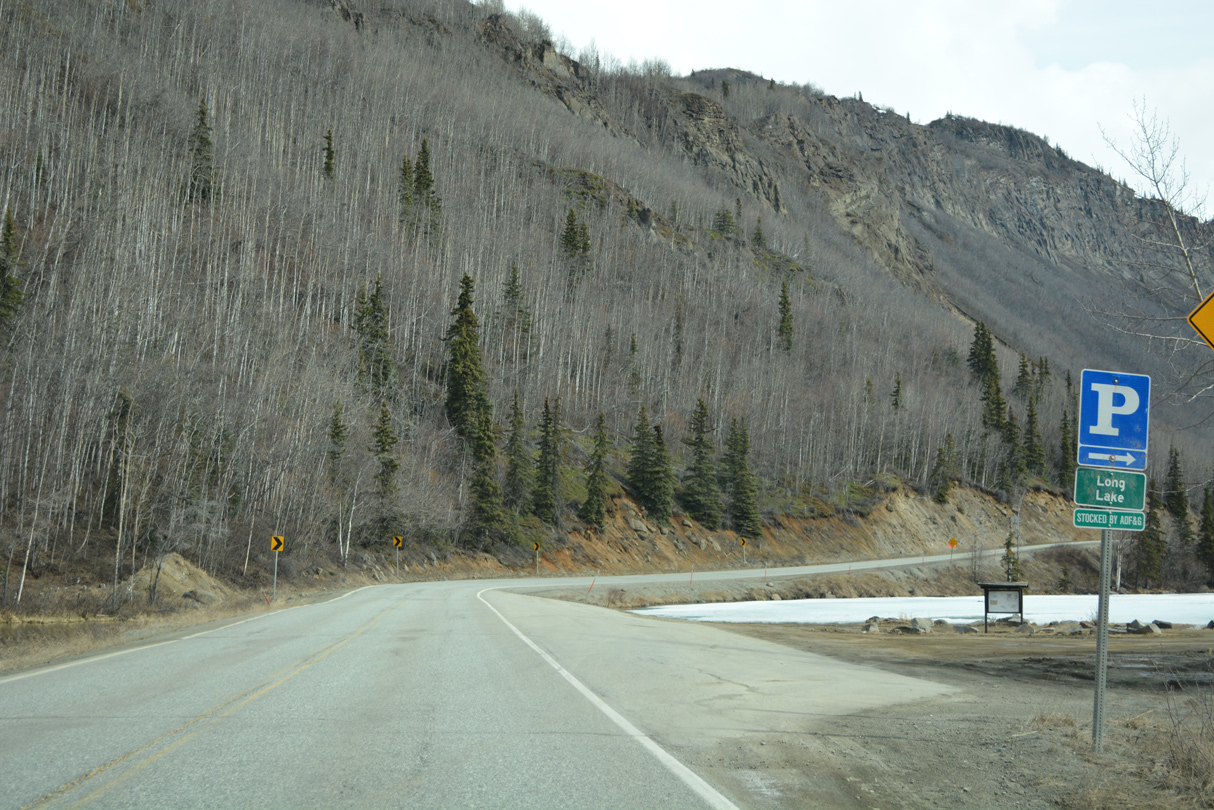
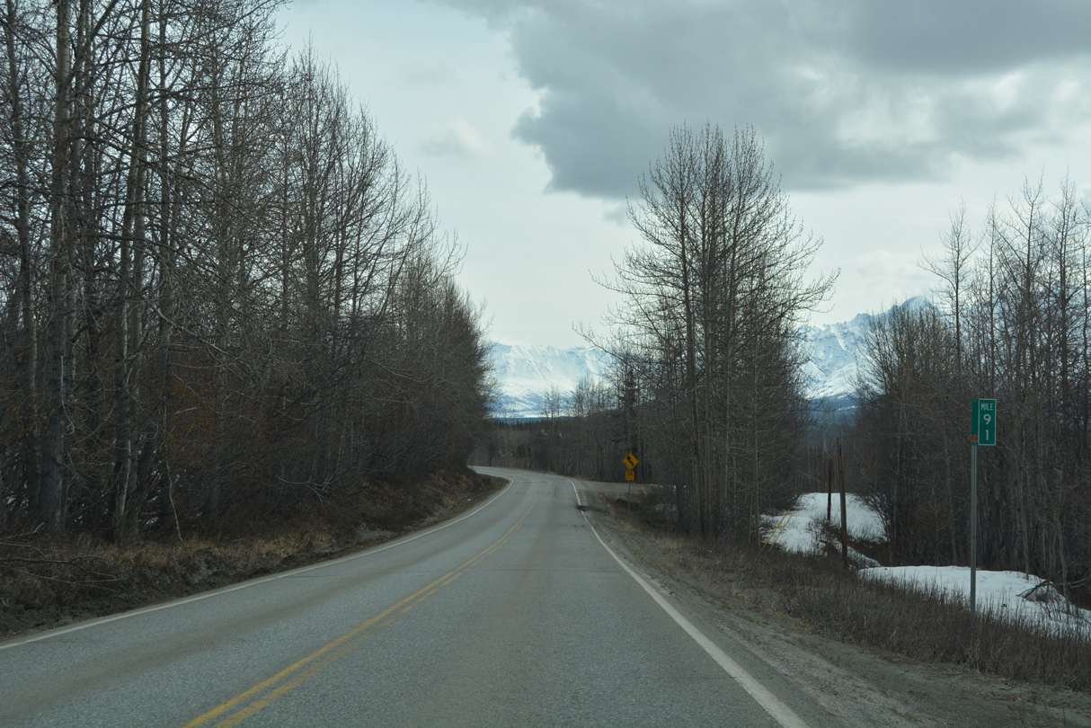
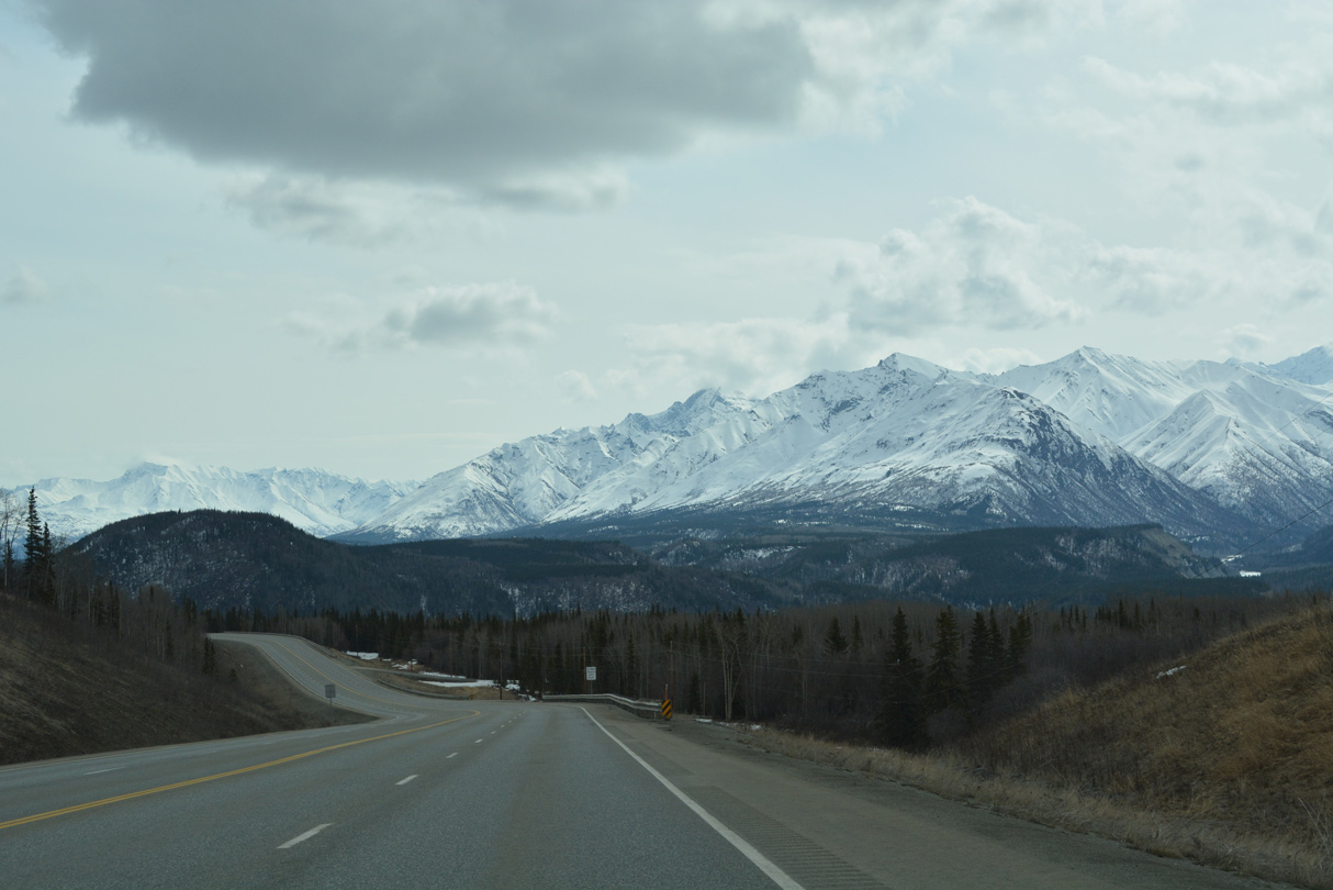
Glenn Highway diverges from the parallel Matansuka River north to Long Lake and Wiener Lake.
05/07/23
05/07/23
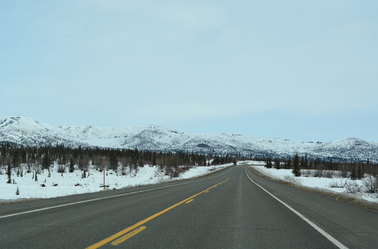
SR 1 ascending toward Weiner Lake appears with Anthracite Ridge along the eastern horizon.
05/07/23
05/07/23
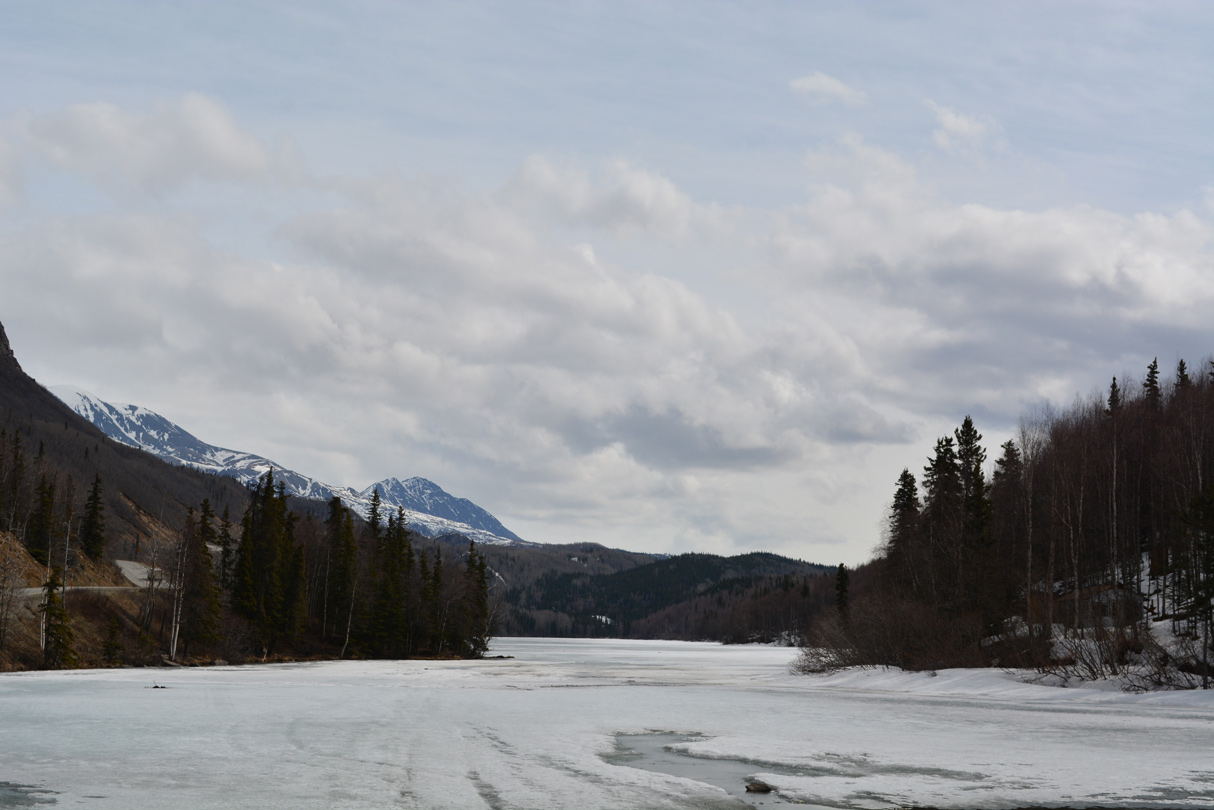
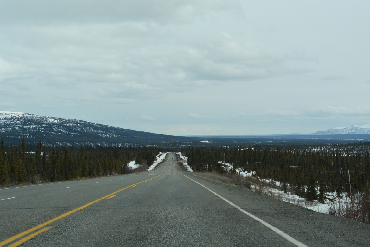
Long Lake spreads east alongside SR 1 to Glenn Highway mile marker 86.
05/07/23
05/07/23
05/07/23
05/07/23
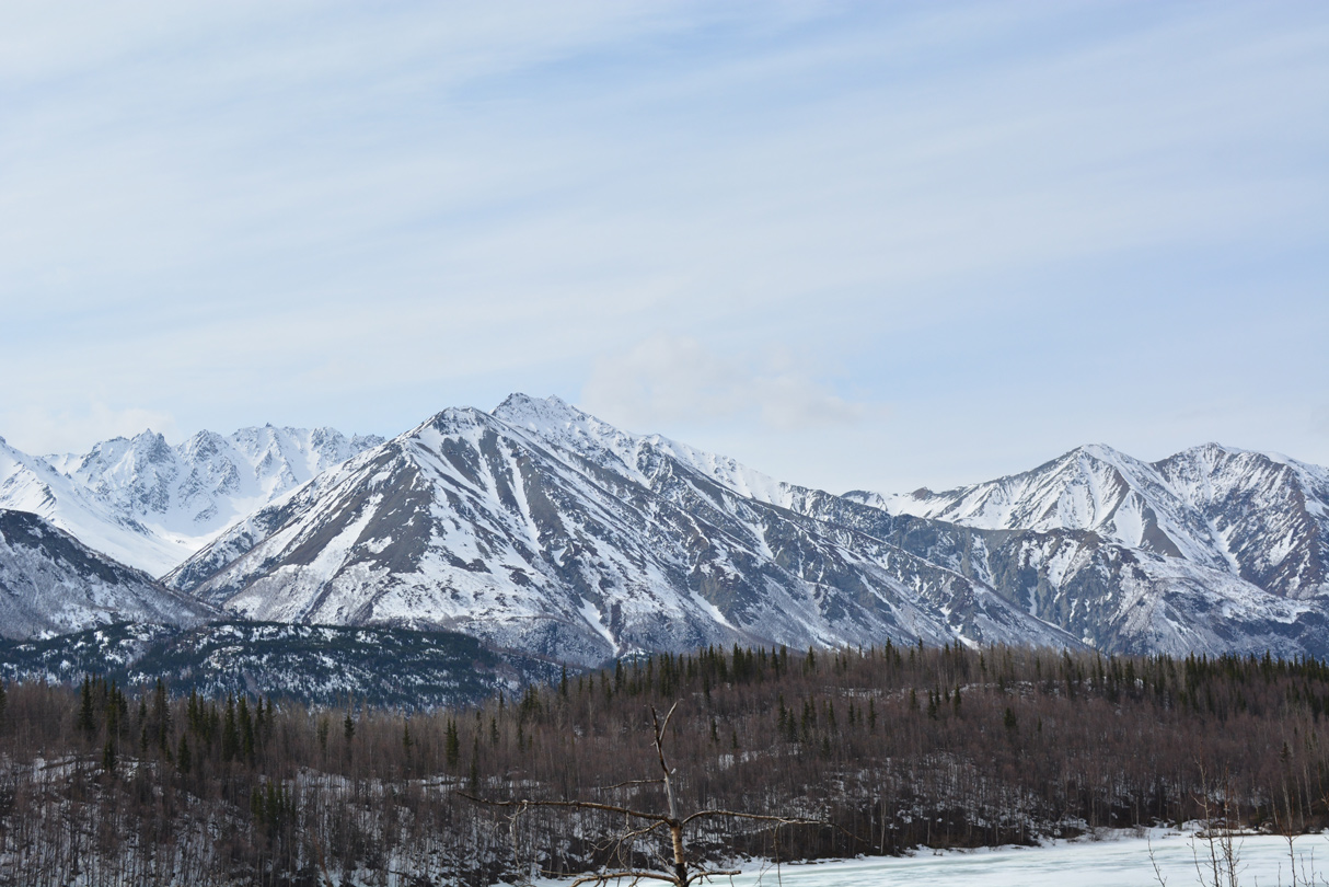
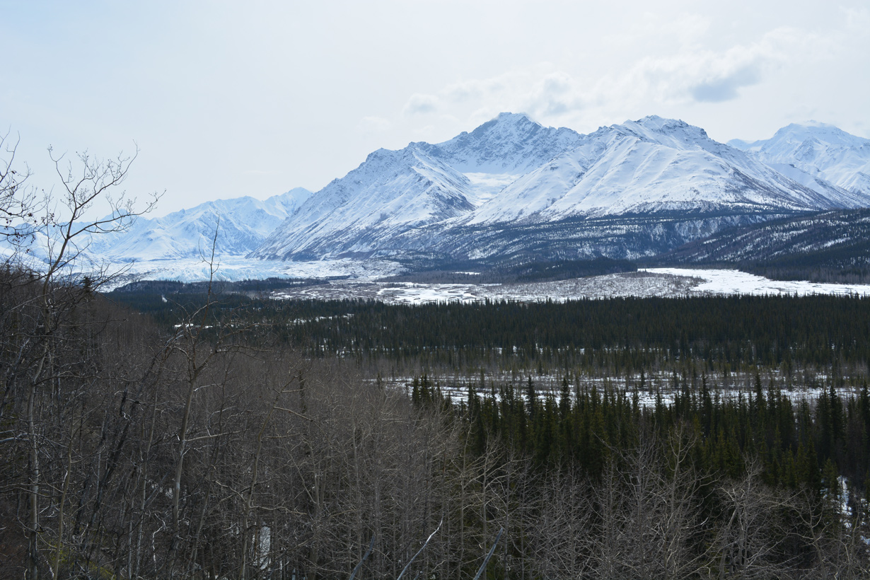
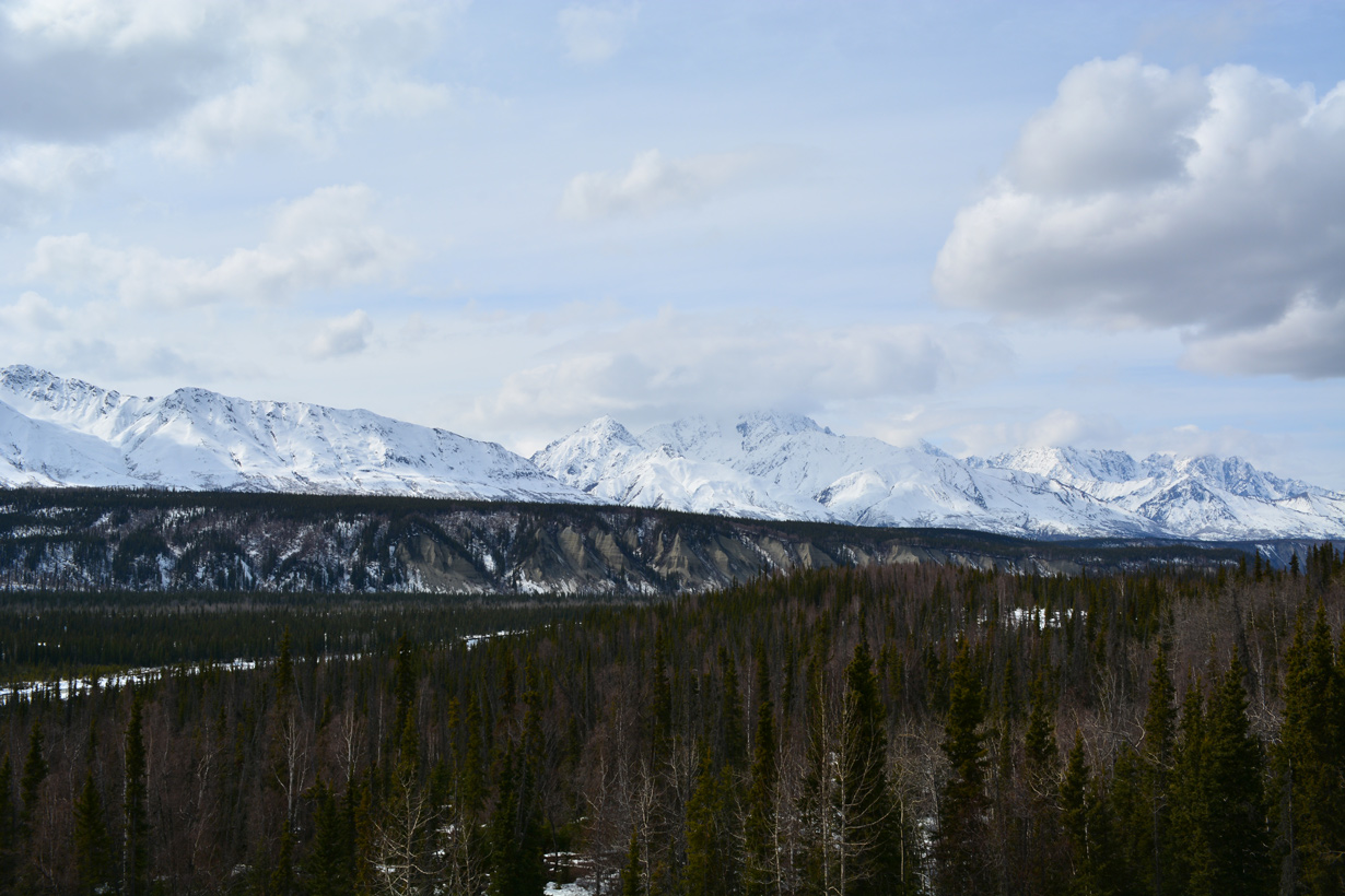
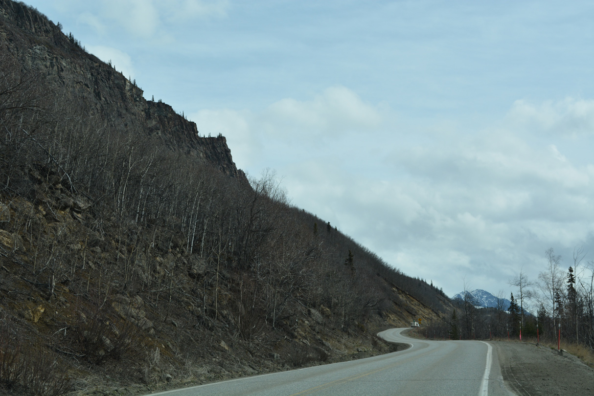
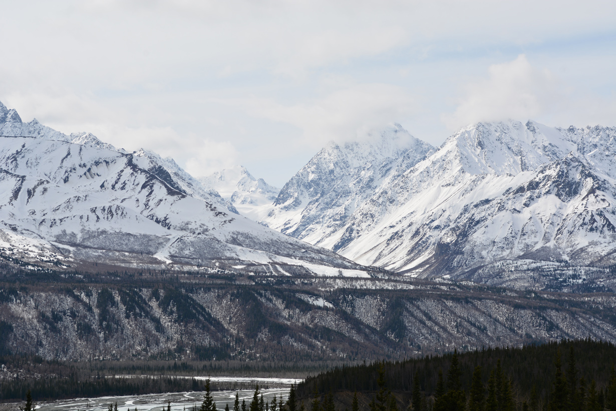
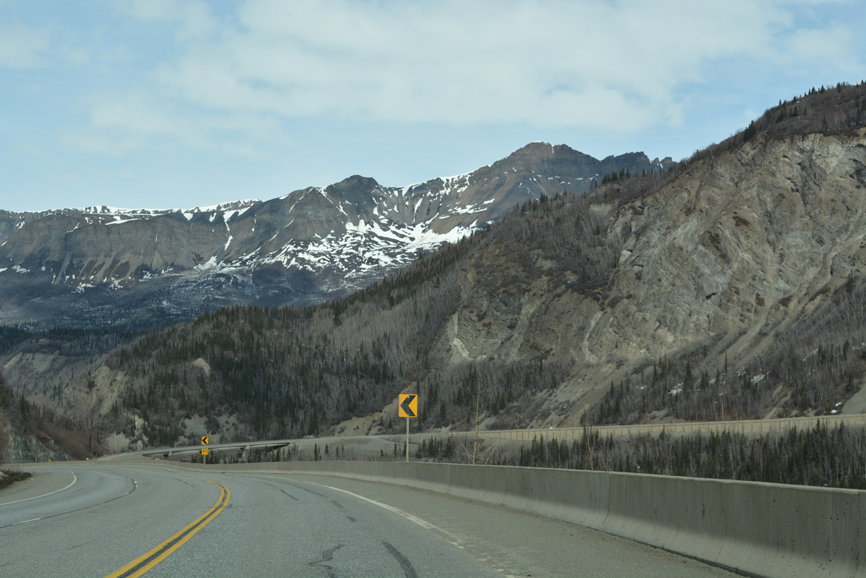
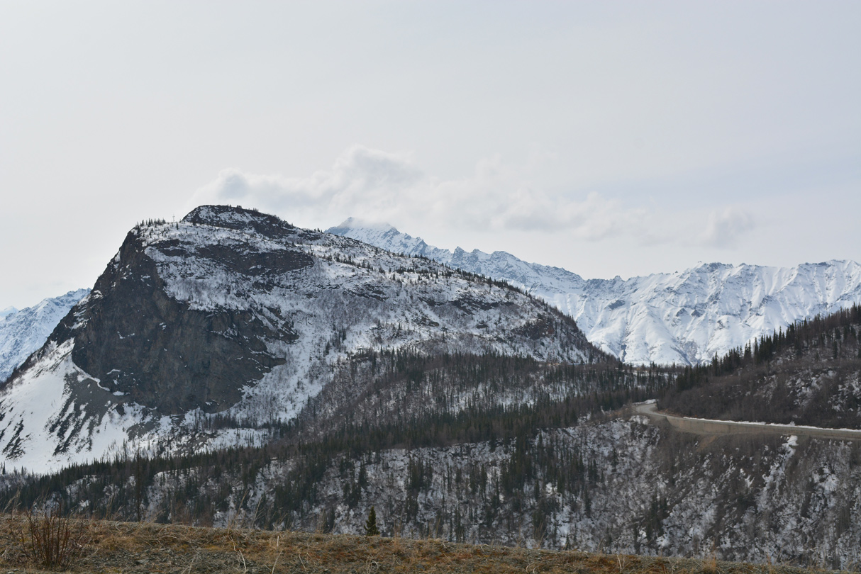
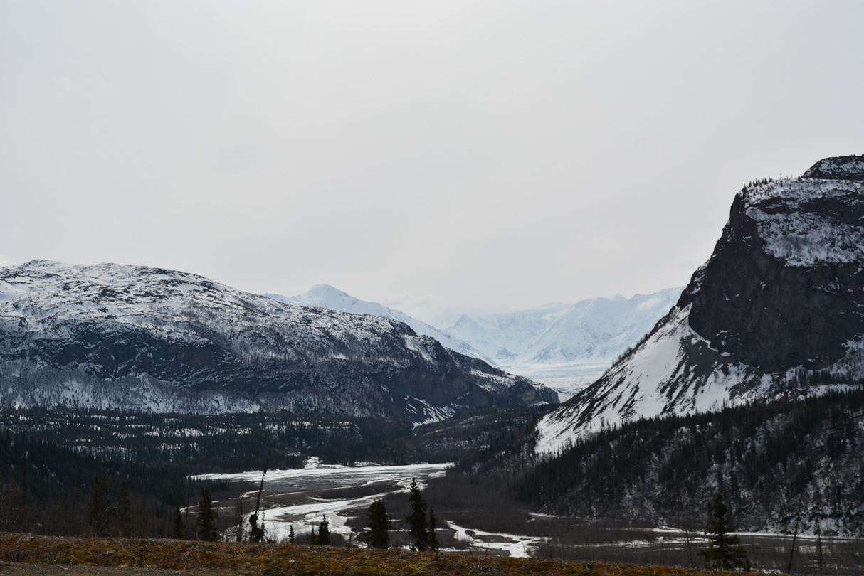
The Chugach Mountains south of the Matanuska River.
05/07/23
05/07/23
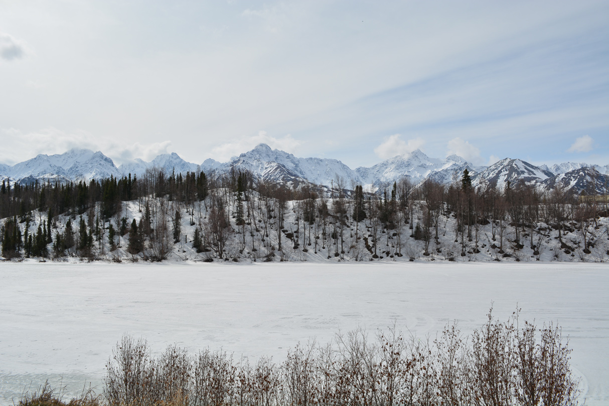
Weiner Lake
05/07/23
05/07/23
05/07/23
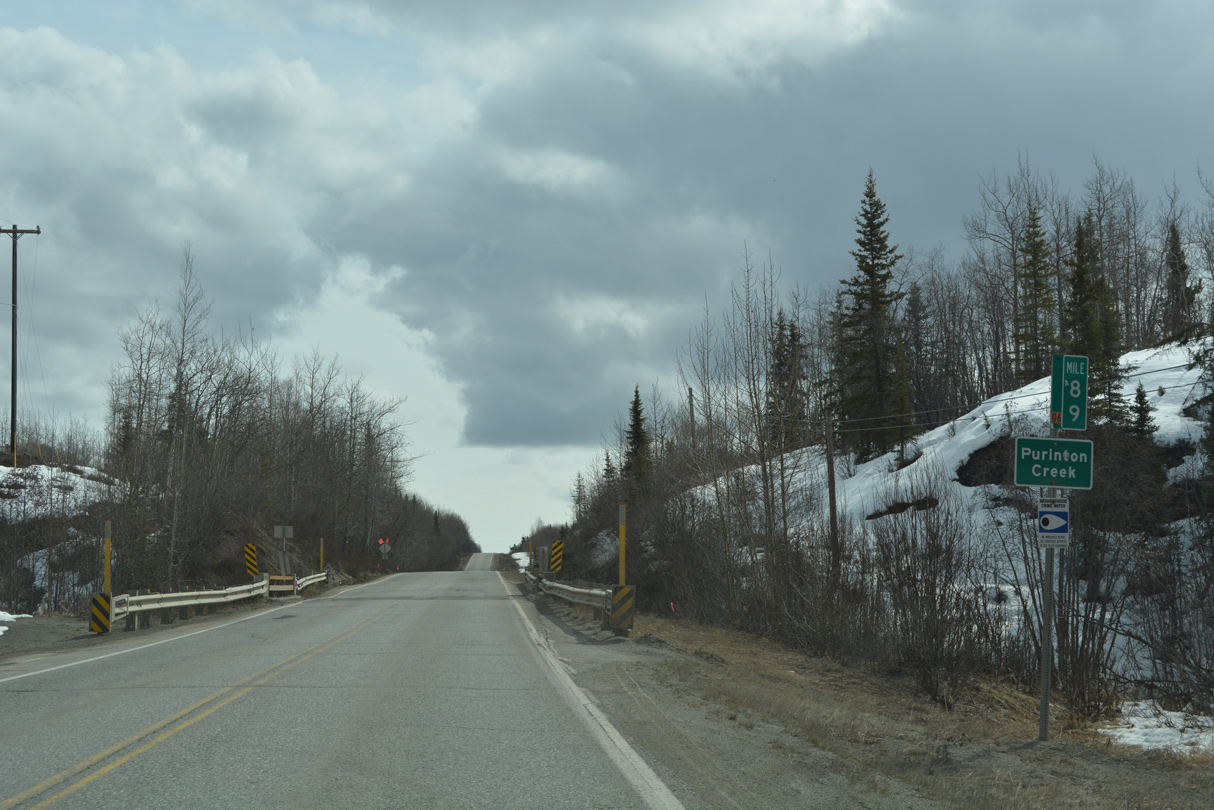
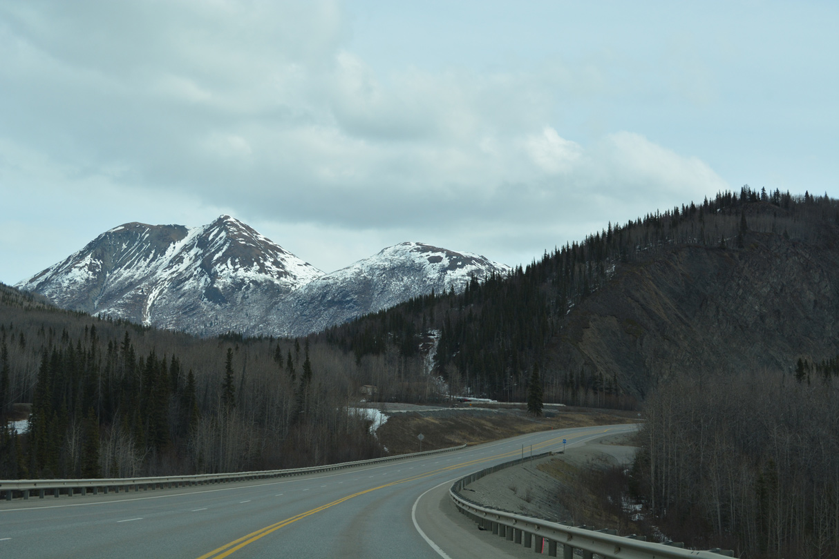
Purinton Creek flows south from Anthracite Ridge.
05/07/23
05/07/23
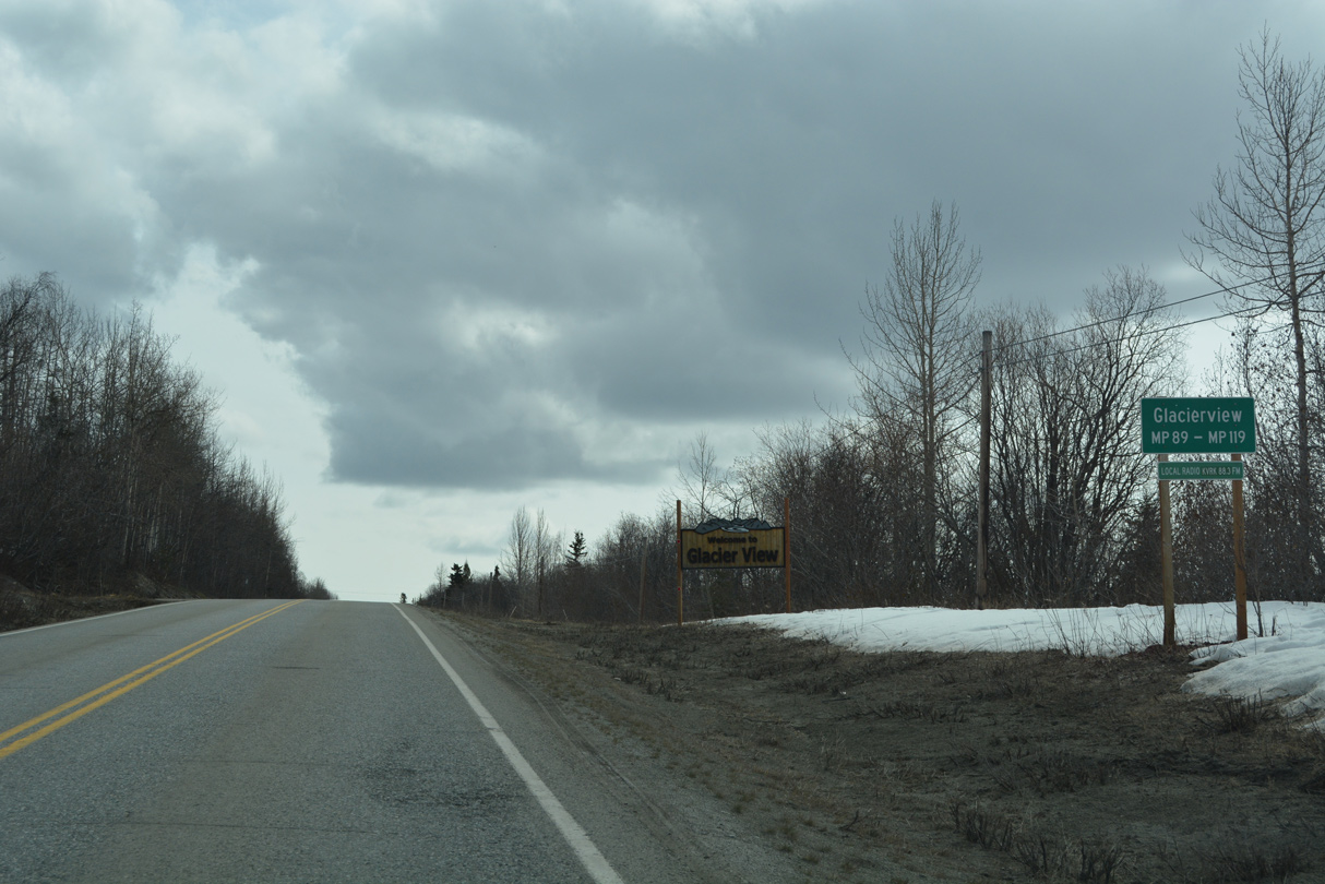
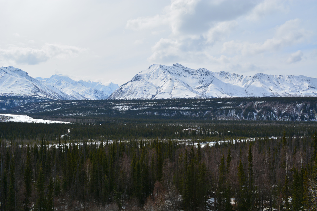
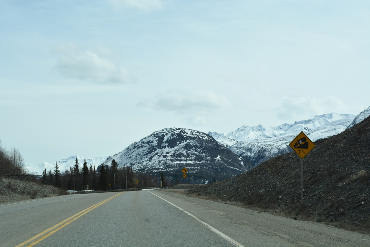
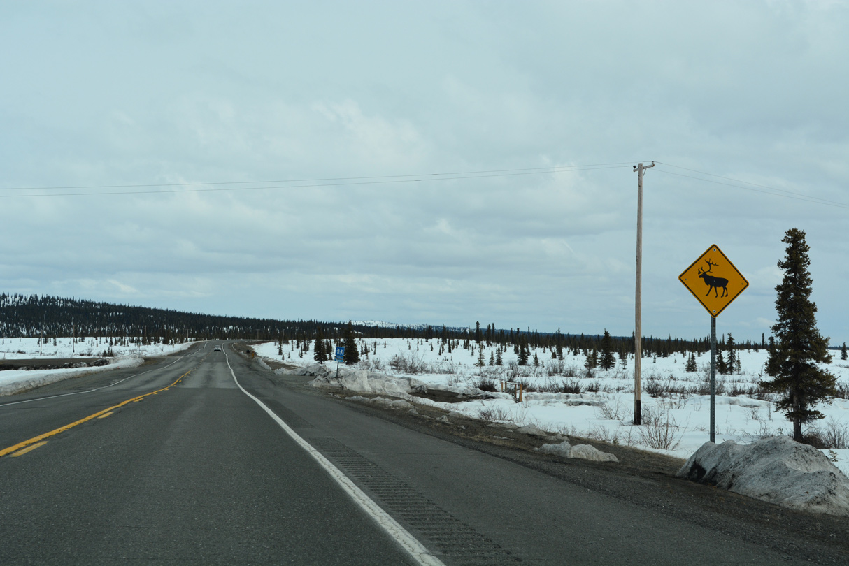
SR 1 travels across the census designated place of Glacier View between Glenn Highway milepost 89 and 119.
05/07/23
05/07/23
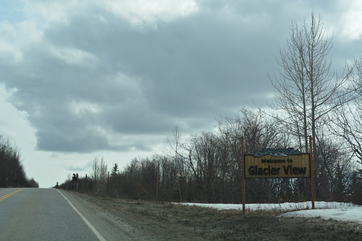
Glacier View is named after Matanuska Glacier.
05/07/23
05/07/23
05/07/23
05/07/23
05/07/23
05/07/23

05/07/23
05/07/23
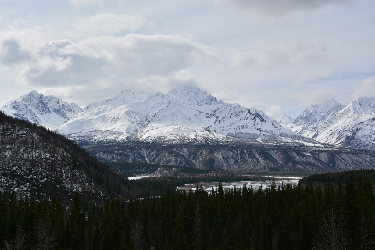
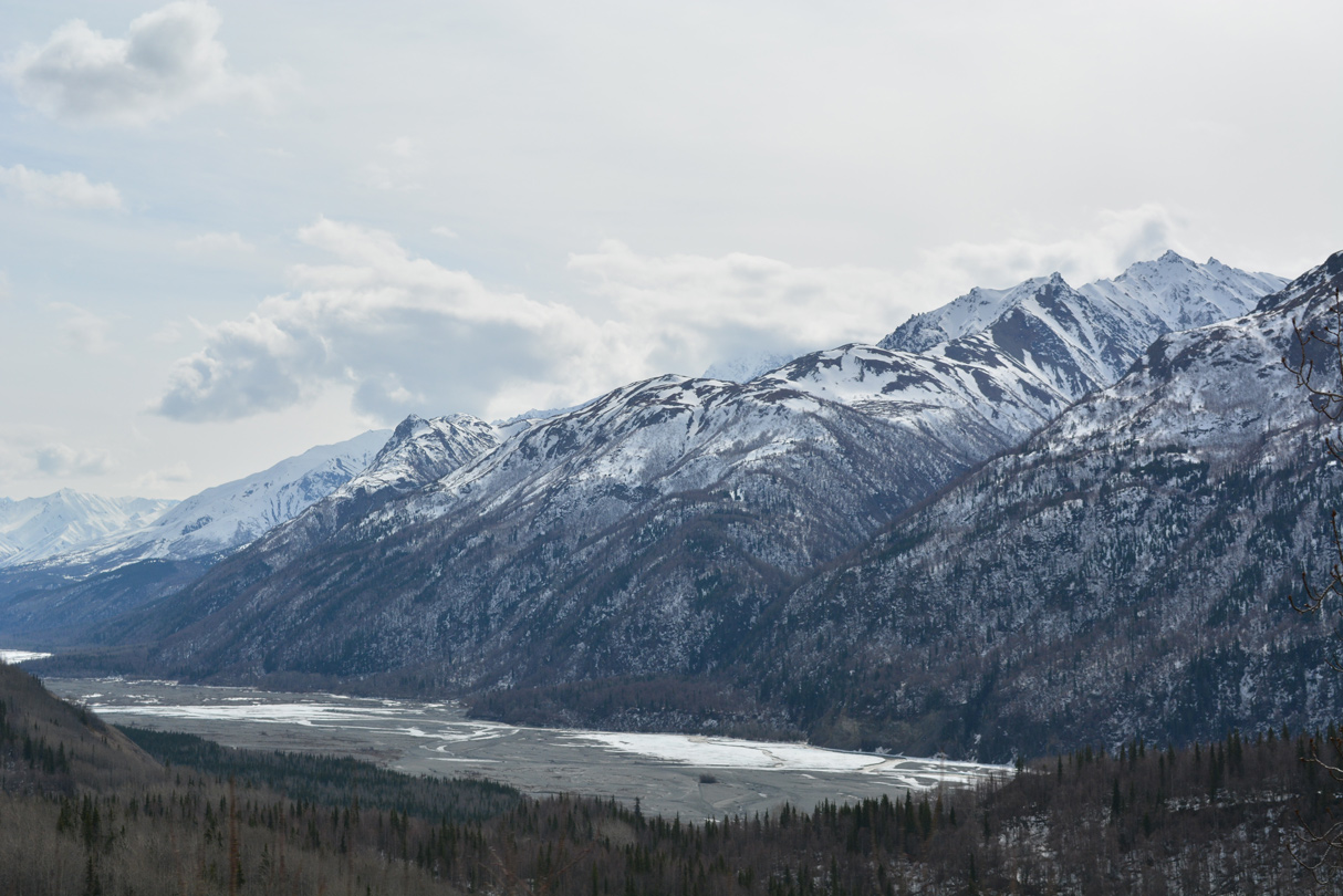
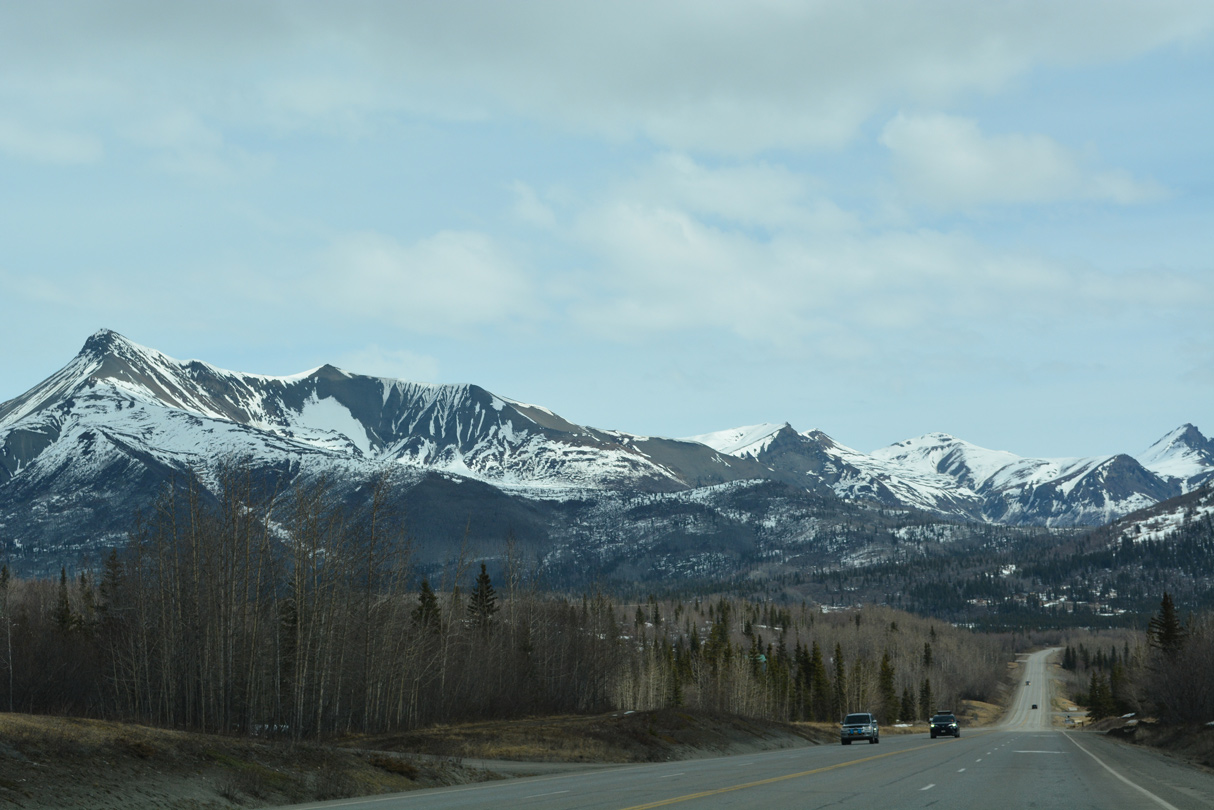
The Chugach Mountains and the Matanuska River from the turn out on Glenn Highway by mile marker 95.
05/07/23
05/07/23
05/07/23
05/07/23
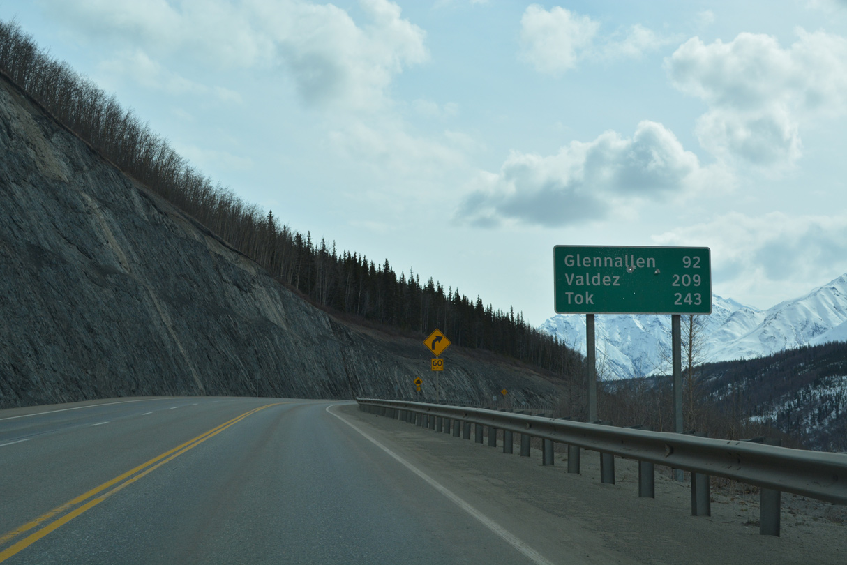
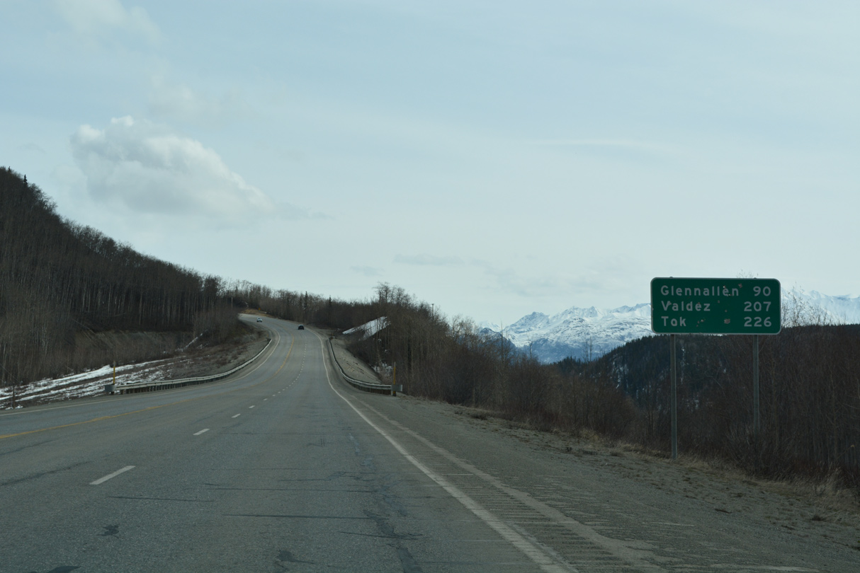
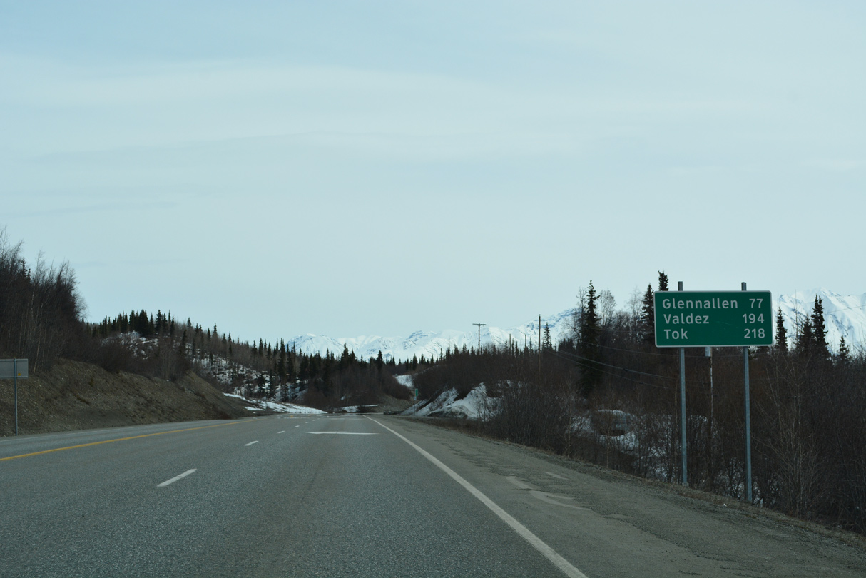
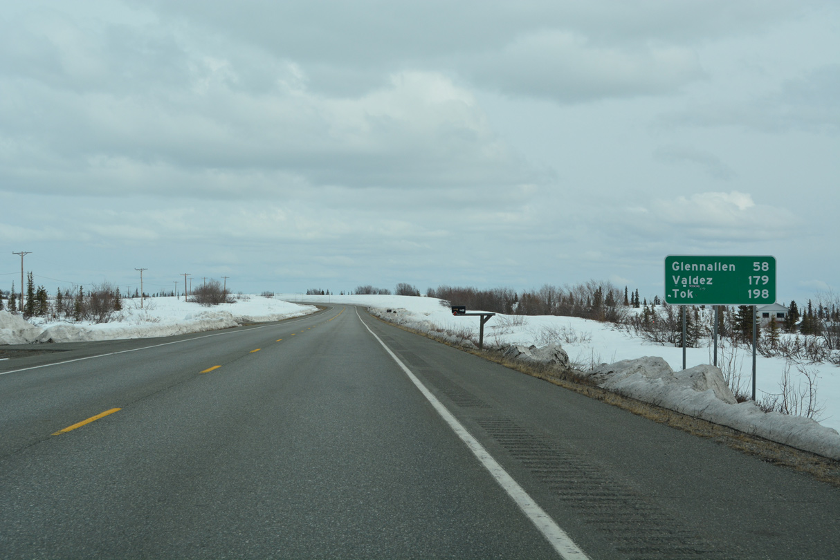
SR 4 (Richardson Highway) is 92 miles east of milepost 95 at Glennallen. SR 1 meets SR 2 at Tok 15 miles sooner than listed on this distance sign.
05/07/23
05/07/23
05/07/23
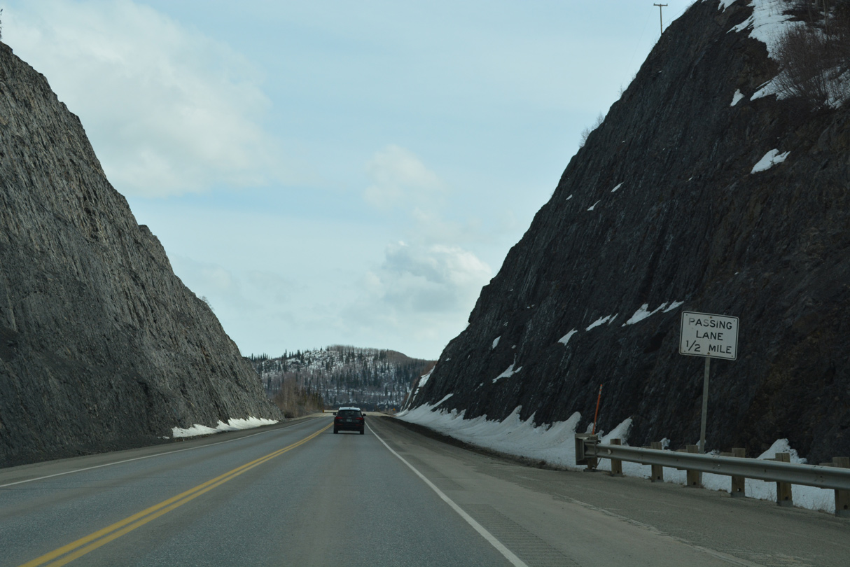
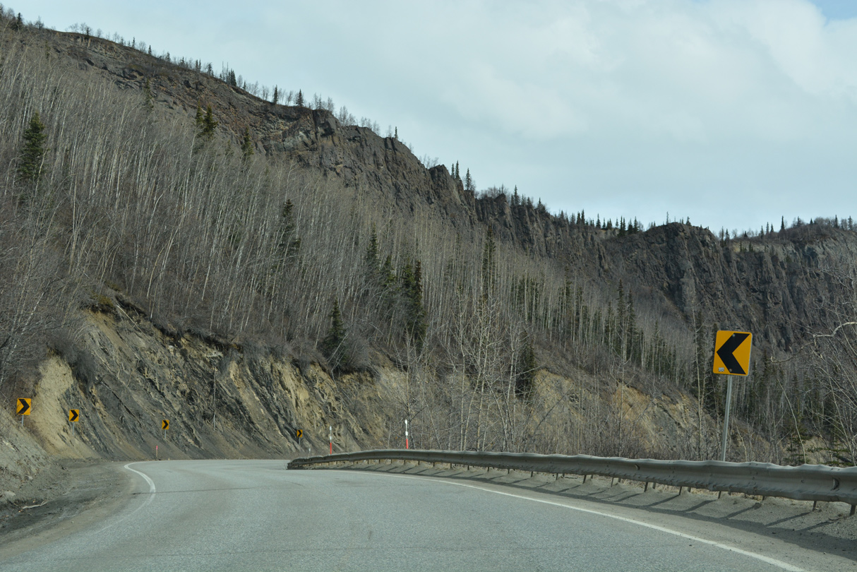
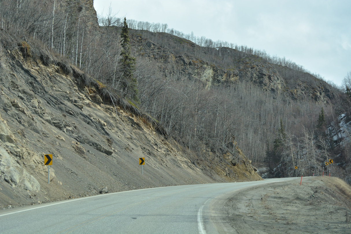
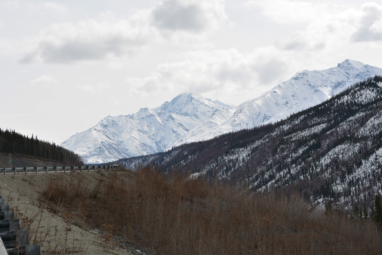
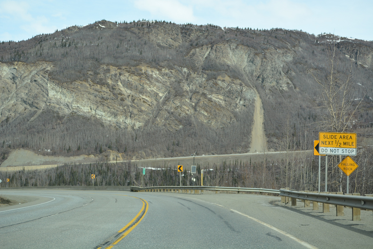
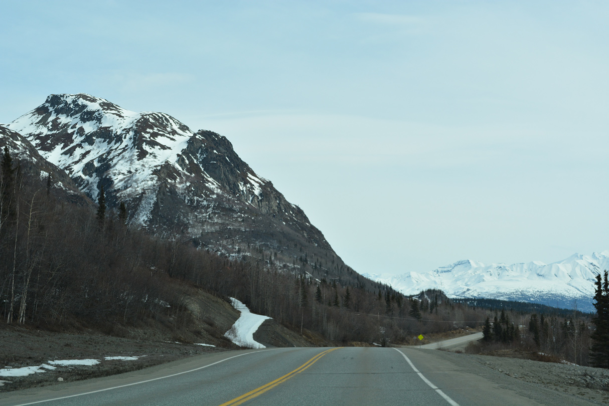
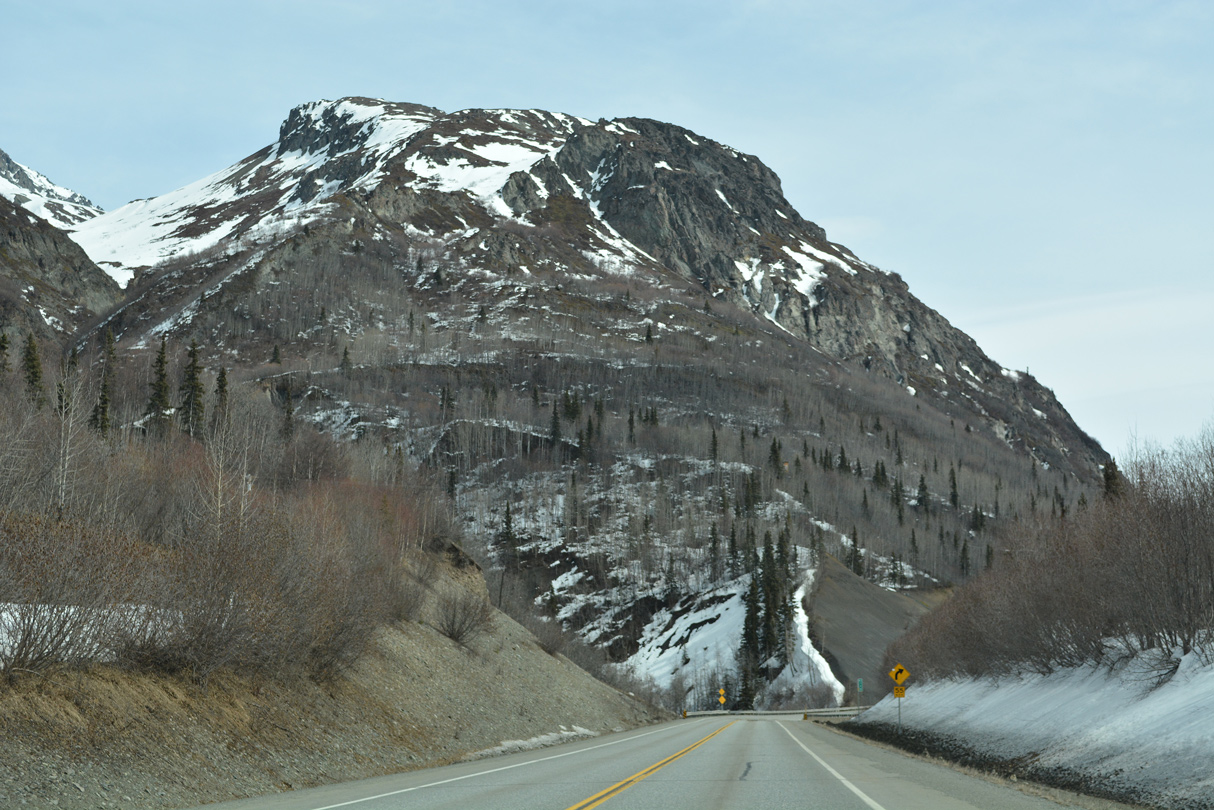
SR 1 passes through a rock cut east of Hicks Creek and Trailhead Road.
05/07/23
05/07/23
05/07/23
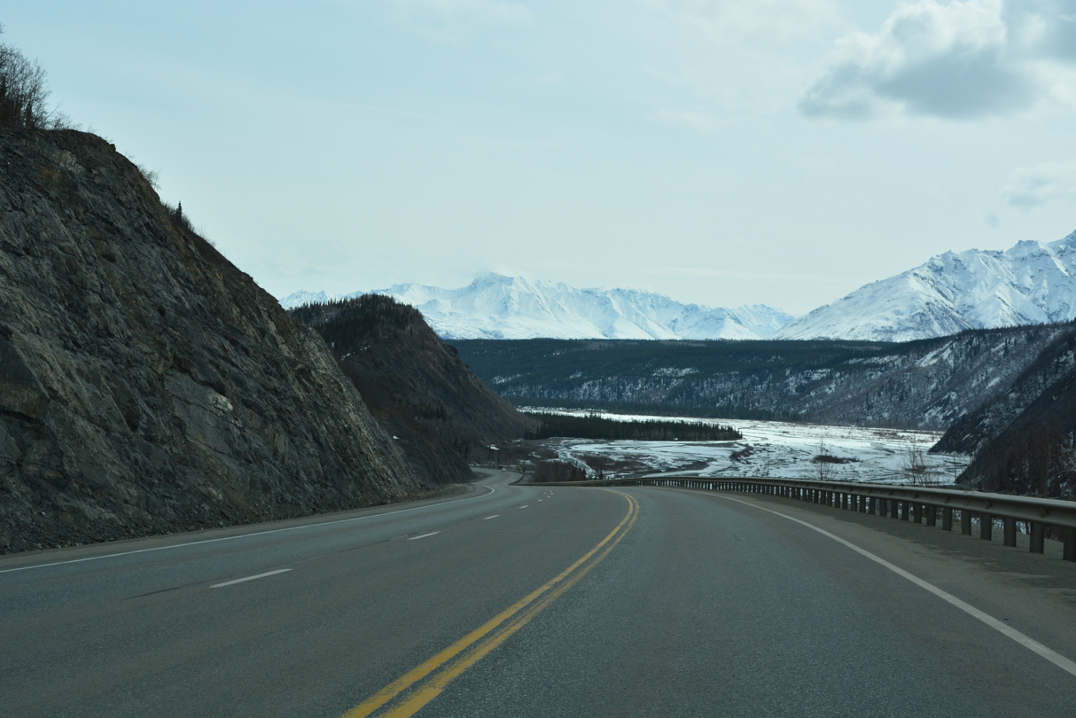
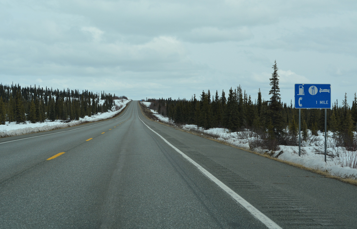
The straight away at milepost 99 bypasses a circuitous section of old Glenn Highway along Pinochle Circle.
05/07/23
05/07/23
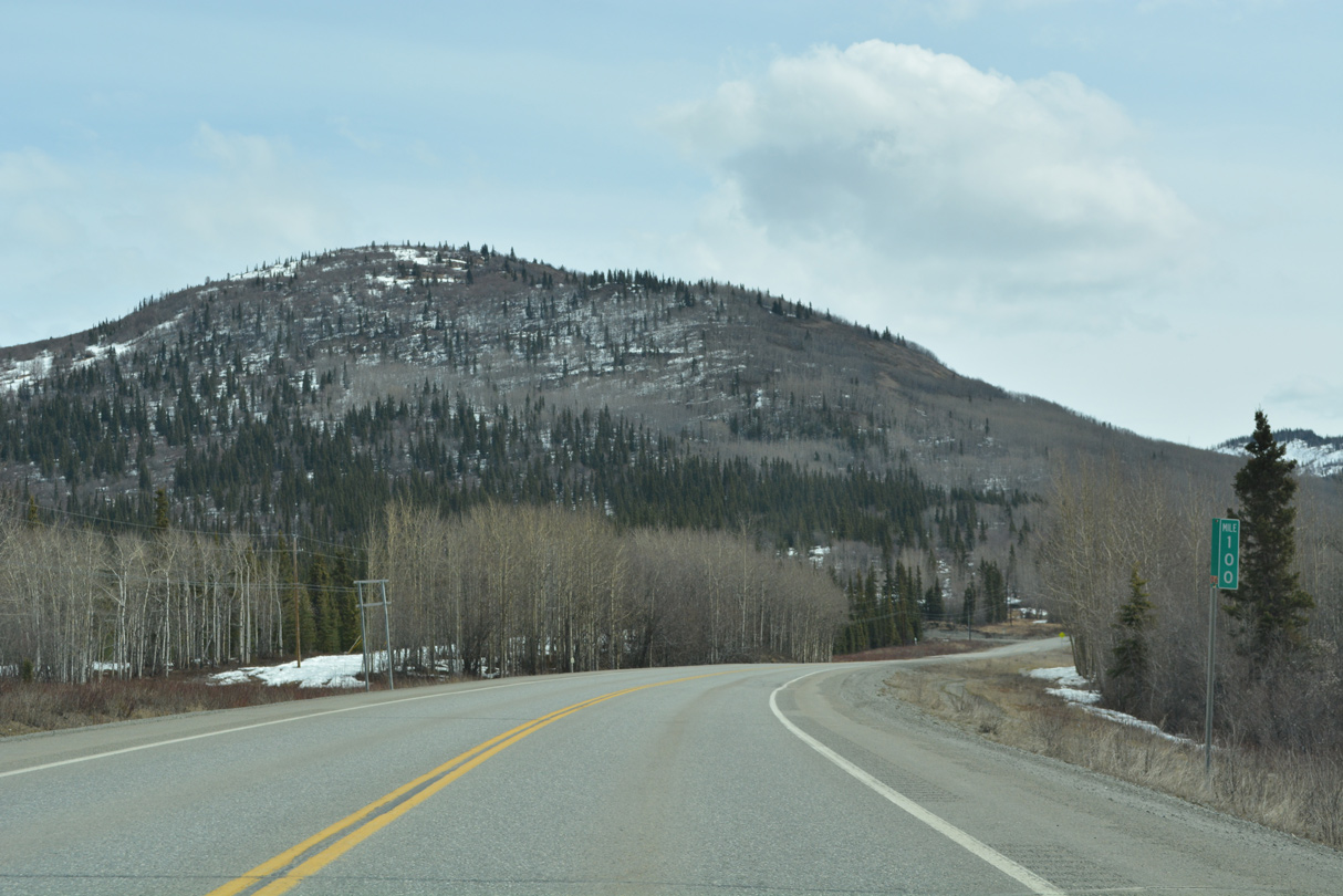
Glenn Highway mile marker 100 is south of Hundred Mile Lake.
05/07/23
05/07/23
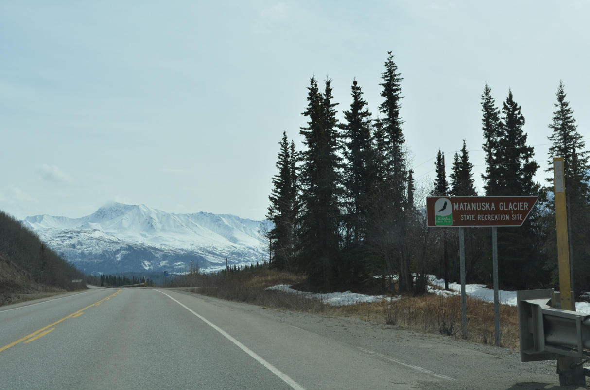
Matanuska Glacier State Recreation Site lies on the south side of Glenn Highway at mile marker 101.
05/07/23
05/07/23
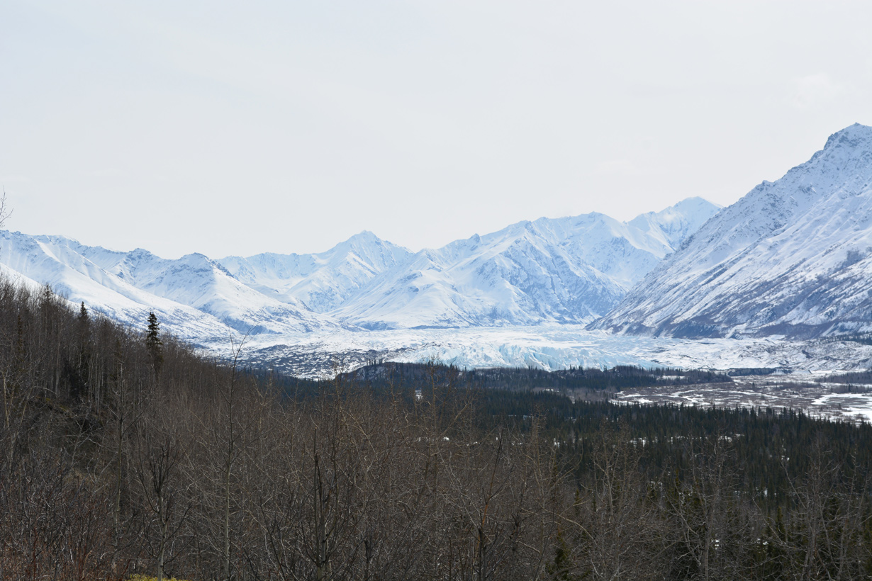
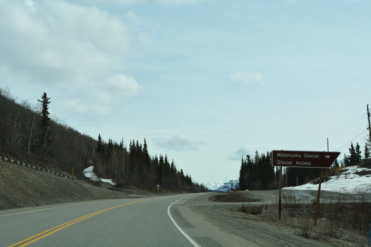
Matanuska Glacier from SR 1 (Glenn Highway) near milepost 102.
05/07/23
05/07/23
Glenn Highway north at Park Road to Glacier Park.
05/07/23
05/07/23
Lion Head rises along the Matanuska River at Glacier Point.
05/07/23
05/07/23
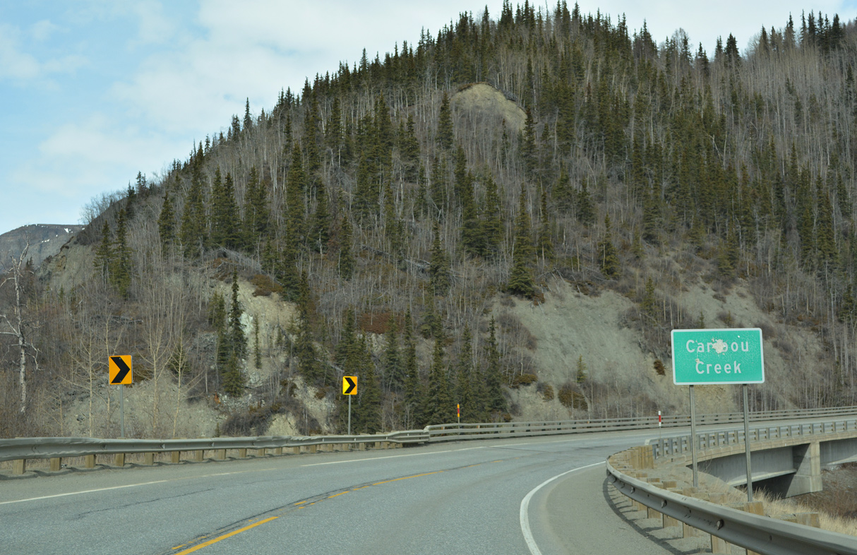
Glenn Highway lowers over 300 feet in elevation into the valley fed by Caribou Creek. The creek opens into the Matanuska River next to Lion Head.
05/07/23
05/07/23
05/07/23
05/07/23
Glenn Highway appears beyond the Caribou Creek valley along the western slope of Sheep Mountain.
05/07/23
05/07/23
05/07/23
05/07/23
Fortress Ridge
05/07/23
05/07/23
SR 1 (Glenn Highway) makes a nearly 180 degree turn across the Caribou Creek valley.
05/07/23
05/07/23
05/07/23
05/07/23
05/07/23
SR 1 (Glenn Highway) north at Jackass Canyon.
05/07/23
05/07/23
A second distance sign with an incorrect mileage to Tok (213 versus 218) stands ahead of milepost 111 along Glenn Highway.
05/07/23
05/07/23
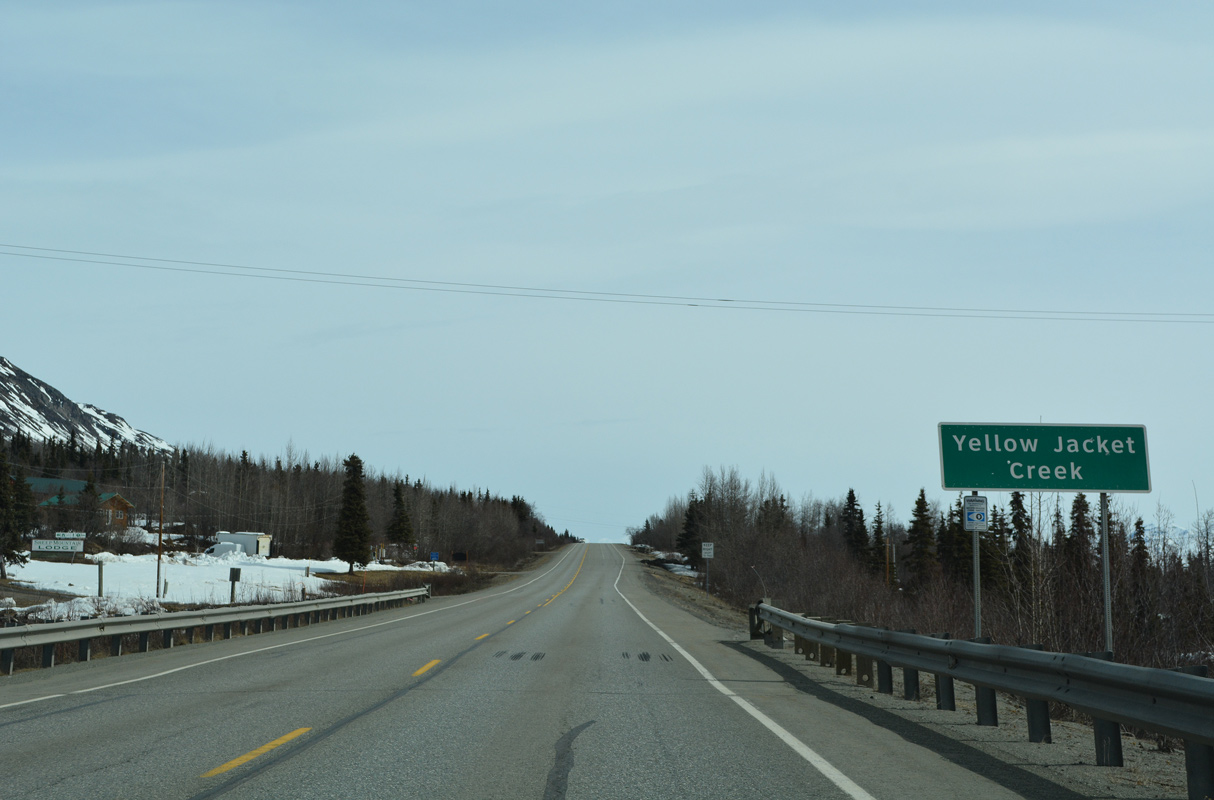
SR 1 crosses Yellow Jacket Creek east of Glenn Highway mile marker 113 by Sheep Mountain Airport (SMU).
05/07/23
05/07/23
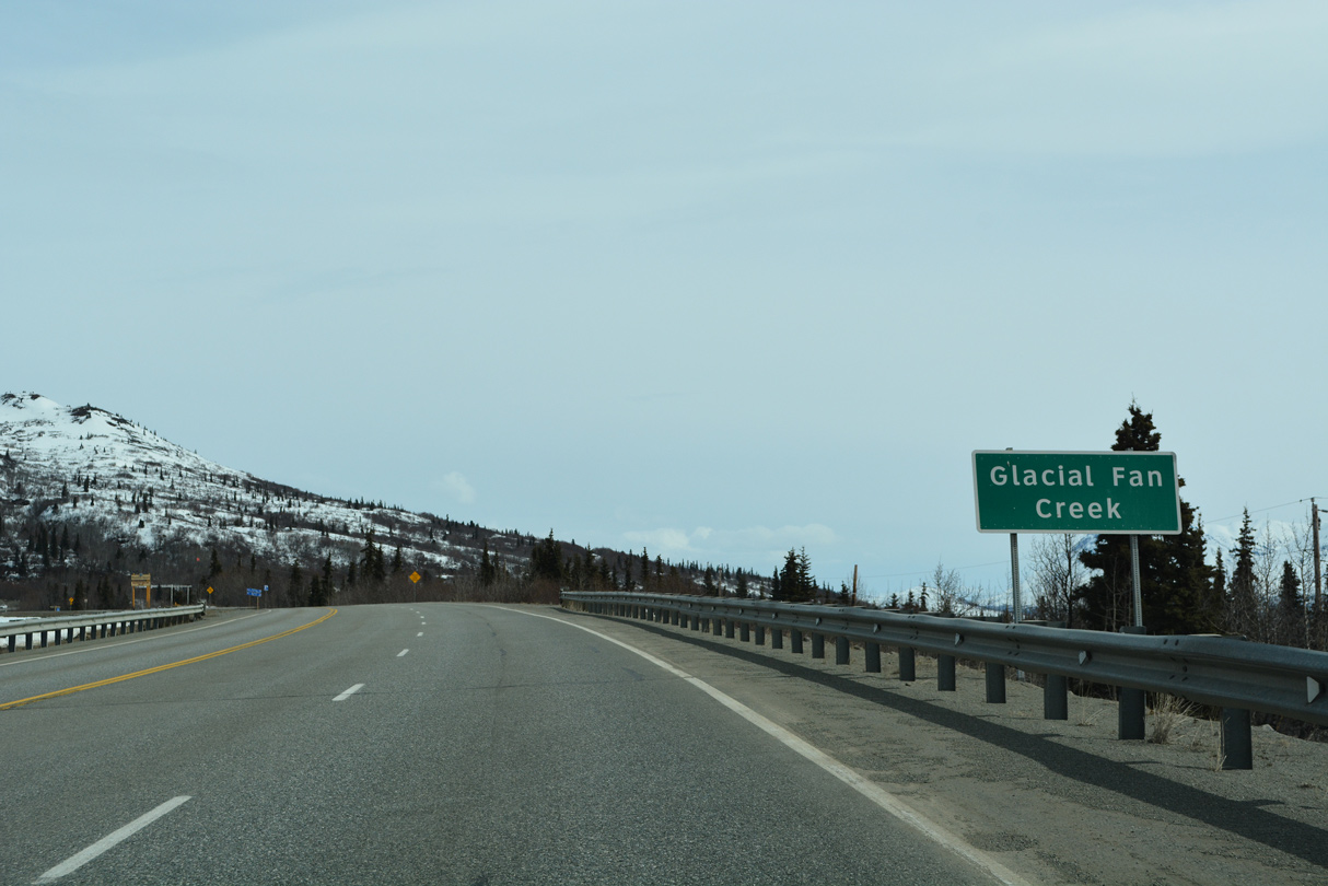
Glacial Fan Creek flows south from Gunsight Mountain into the East Fork of the Matanuska River.
05/07/23
05/07/23
Glenn Highway was realigned southward between mile marker 115 and 118. The former route was abandoned.
05/07/23
05/07/23
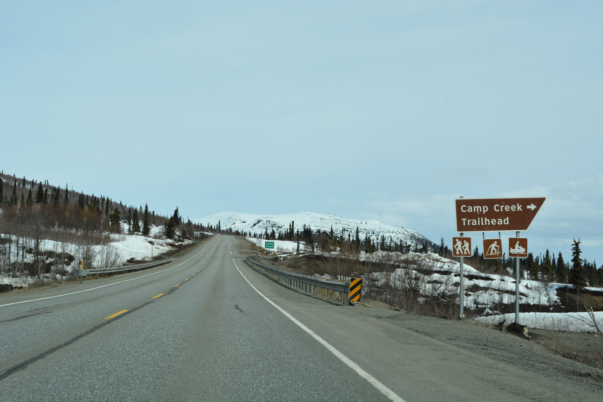
A turn out lies just beyond milepost 117 and Camp Creek for the Camp Creek Trailhead.
05/07/23
05/07/23
SR 1 (Glenn Highway) turns northeast away from the Chugach Mountains.
05/07/23
05/07/23

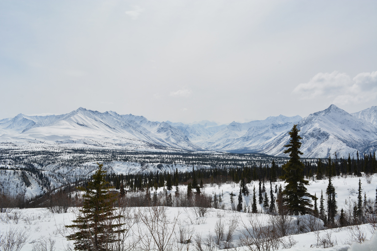
More of the Chugach Mountains from the Camp Creek Trailhead turnout on SR 1.
05/07/23
05/07/23
05/07/23

05/07/23
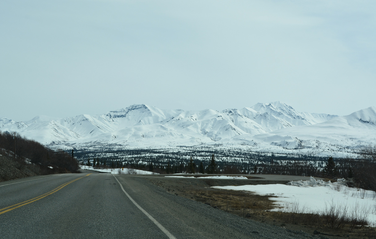
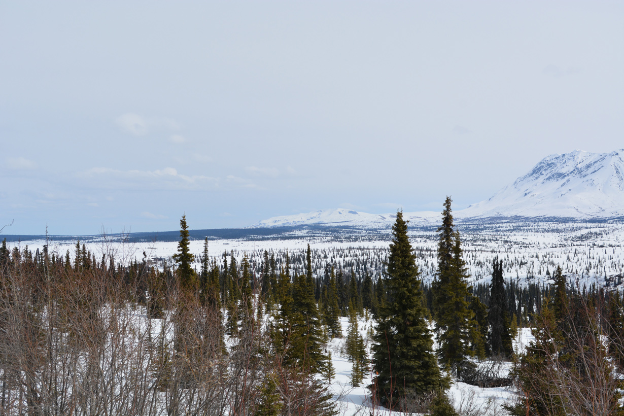
Glenn Highway travels around 3,200 feet above sea level before descending to Tahneta Lake.
05/07/23
05/07/23
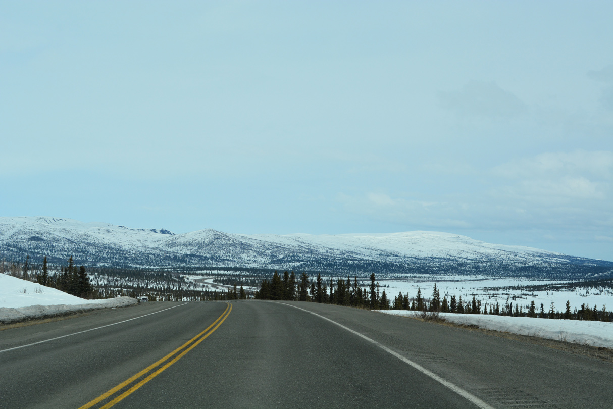
SR 1 passes west of Lake Leila north to Tahneta Pass.
05/07/23
05/07/23
Tahneta Pass
05/07/23
05/07/23
Tahneta Lake is just east of SR 1 (Glenn Highway) at mile marker 123.
05/07/23
05/07/23
SR 1 one mile south of Eureka Roadhouse.
05/07/23
05/07/23
Glennallen is two miles further while both Valdez and Tok are two miles shorter than what is referenced on this distance sign leaving Eureka Roadhouse.
05/07/23
05/07/23
Glenn Highway ascends to over 3,300 feet above sea level north from Eureka Roadhouse.
05/07/23
05/07/23
Turning east beyond milepost 133, SR 1 commences a gradual descent from 3,000 in elevation to around 1,400 feet at Glennallen.
05/07/23
05/07/23
One mile ahead of Slide Mountain Cabins and RV Park on SR 1 (Glenn Highway) northbound.
05/07/23
05/07/23
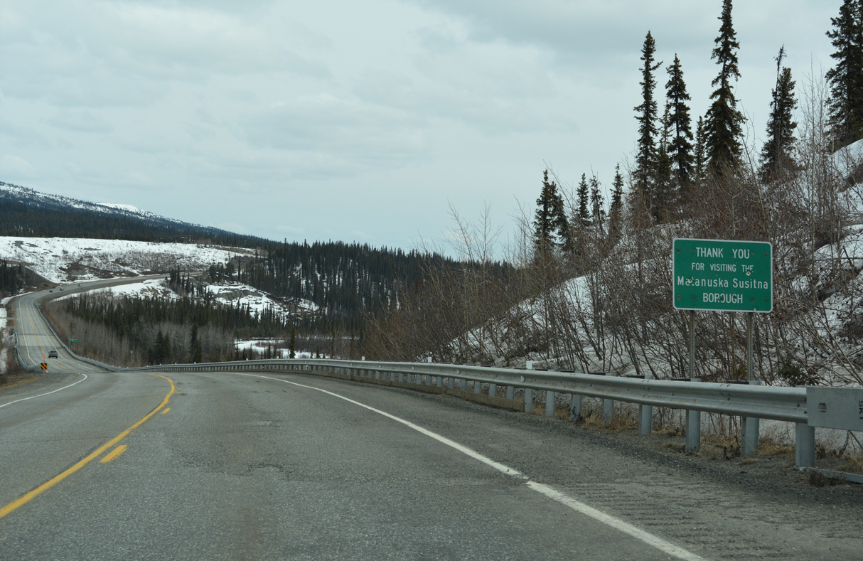
SR 1 enters the Copper River Census Area east of Glenn Highway milepost 137.
05/07/23
05/07/23
05/07/23
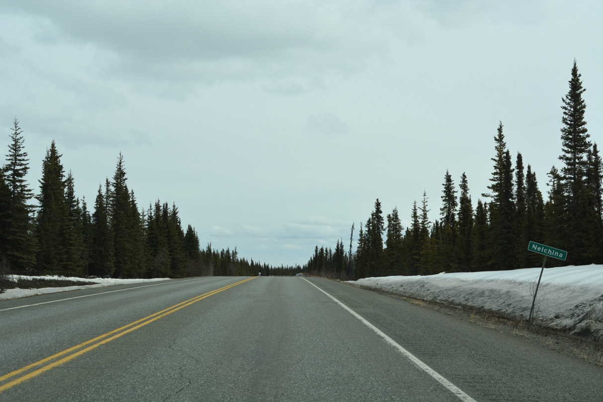
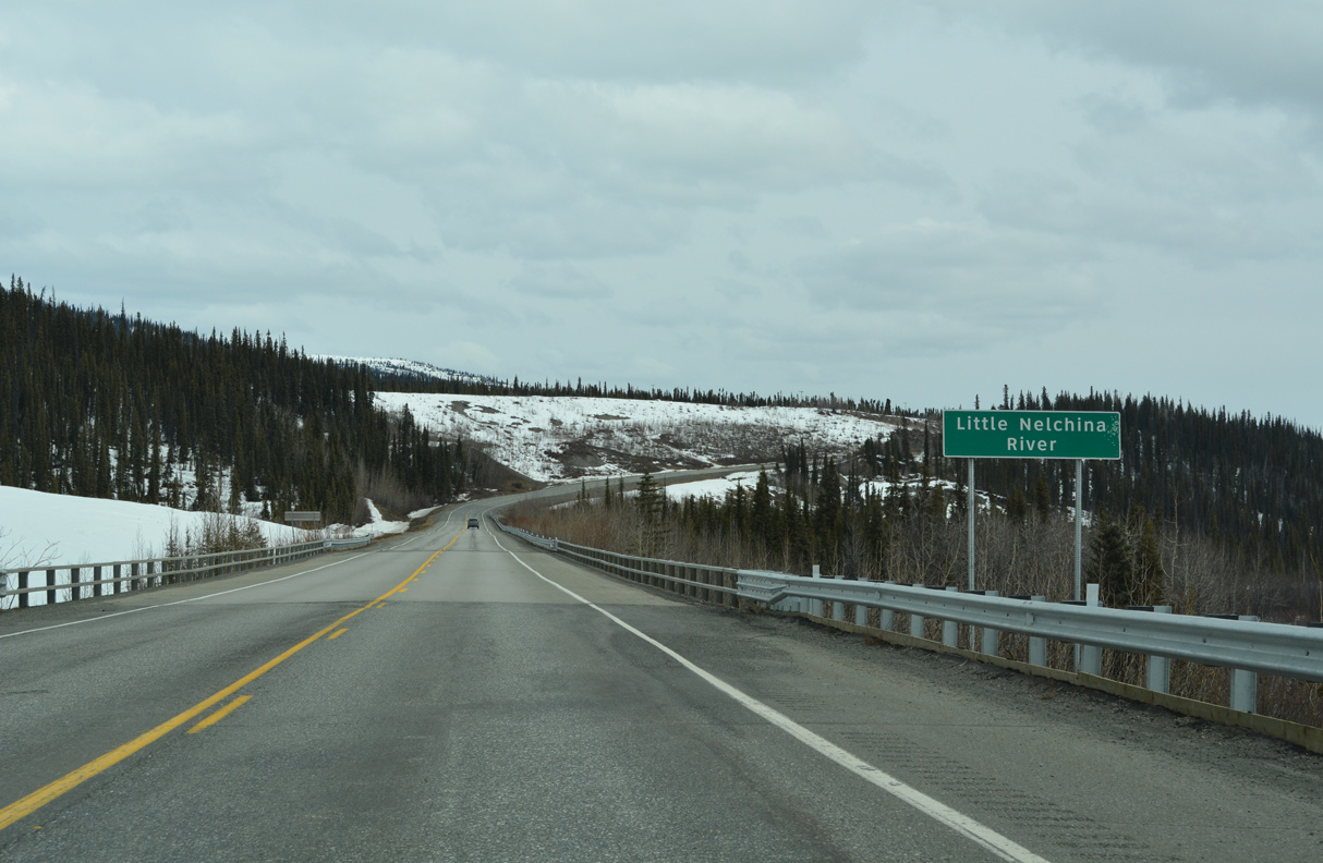
SR 1 north next enters the census designated place of Nelchina.
05/07/23
05/07/23
05/07/23
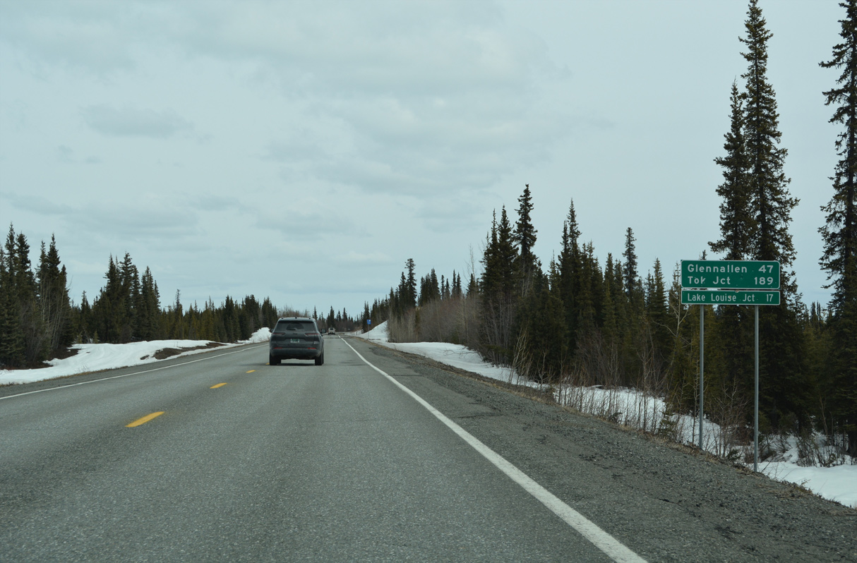
Mileage to Tok continues to be inconsistently off as the end of SR 1 is located 183 miles ahead, not 189 miles. SR 1 (Glenn Highway) meets Lake Louise Road in 18.4 miles.
05/07/23
05/07/23
05/07/23
05/07/23
05/07/23
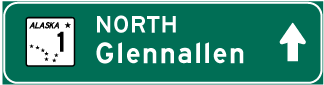
Photo Credits:
- Alex Nitzman: 05/07/23
Page Updated Saturday June 10, 2023.