
State Route 1 North - Slana to Tok
 North
North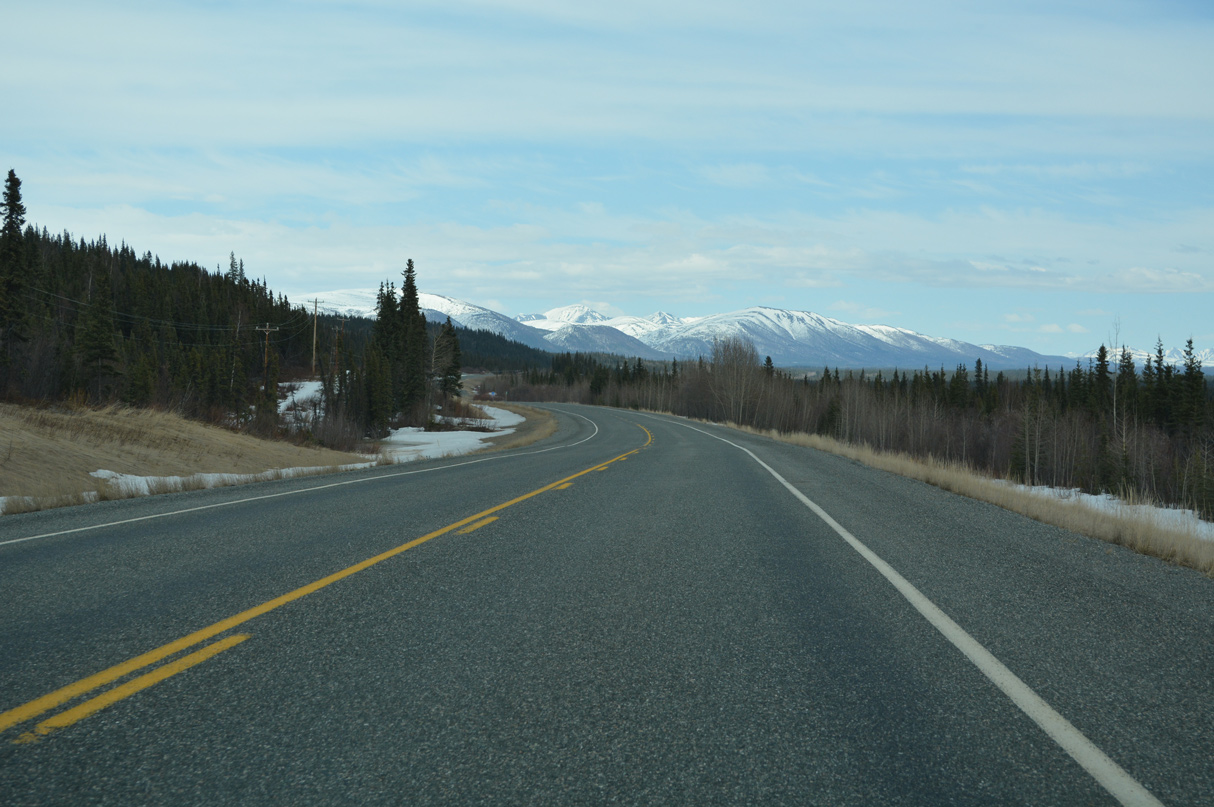
05/07/23
05/07/23
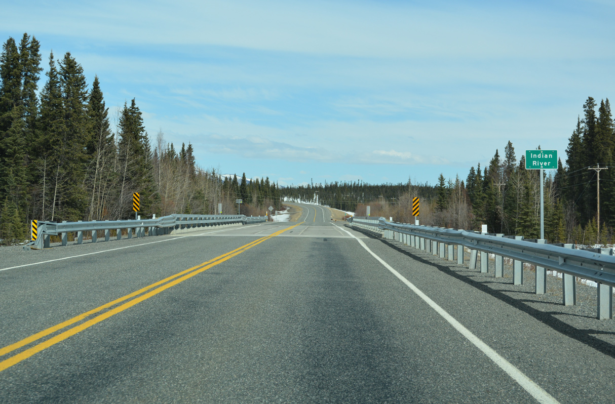
Tok Cutoff Highway crosses the Indian River ahead of milepost 44.
05/07/23
05/07/23
05/07/23
05/07/23
05/07/23
05/07/23
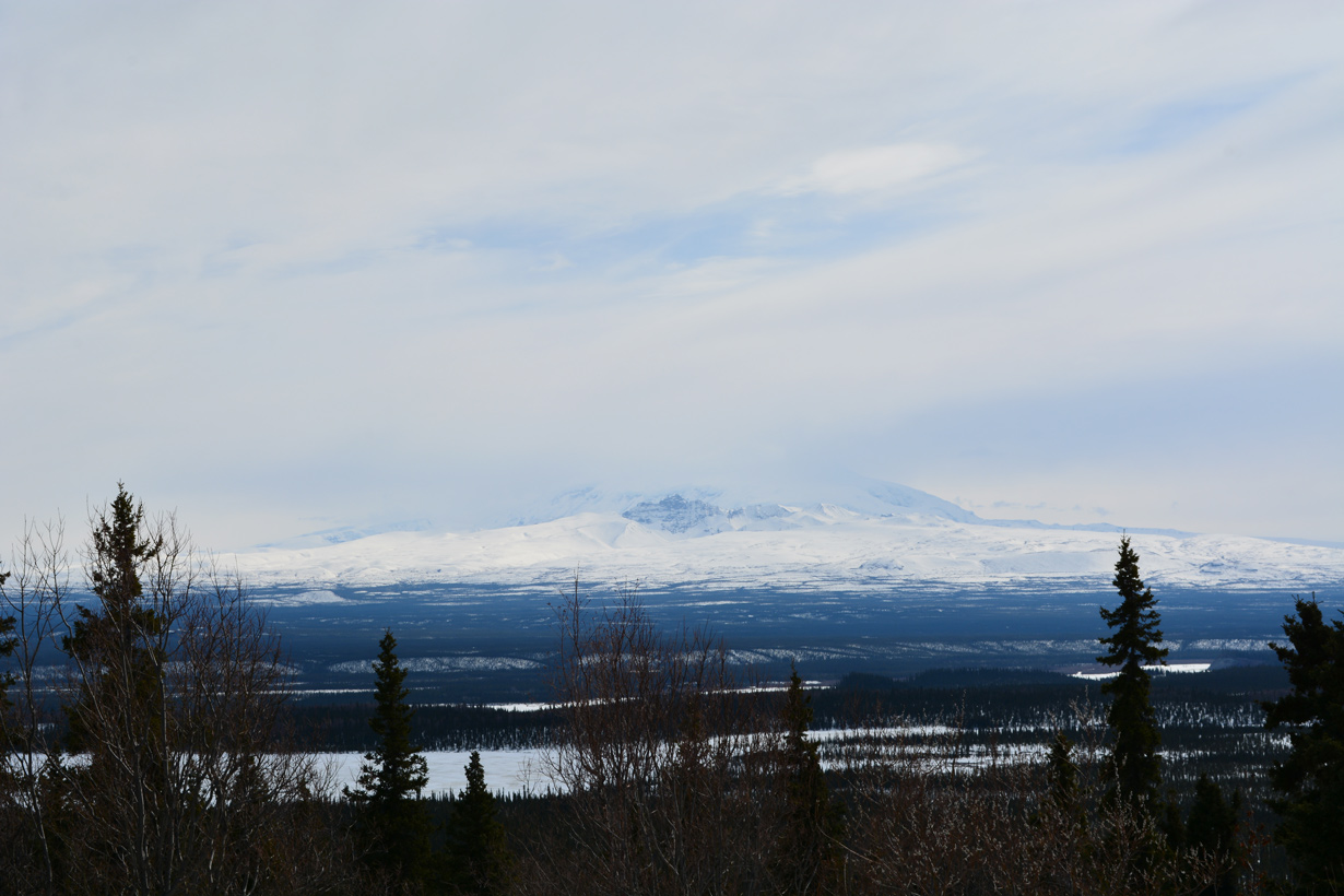
Cobb Lakes and Mount Sanford from a turn off along Tok Cutoff Highway near milepost 57.
05/07/23
05/07/23
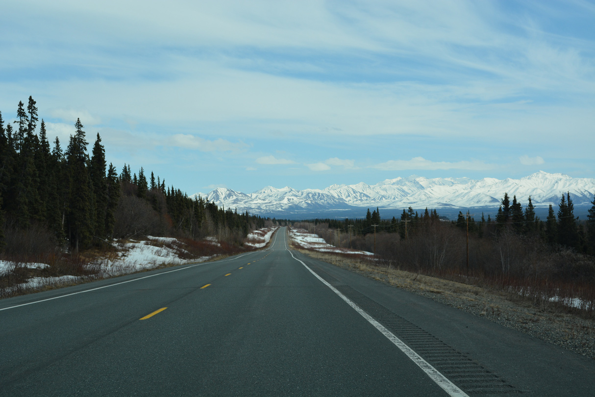
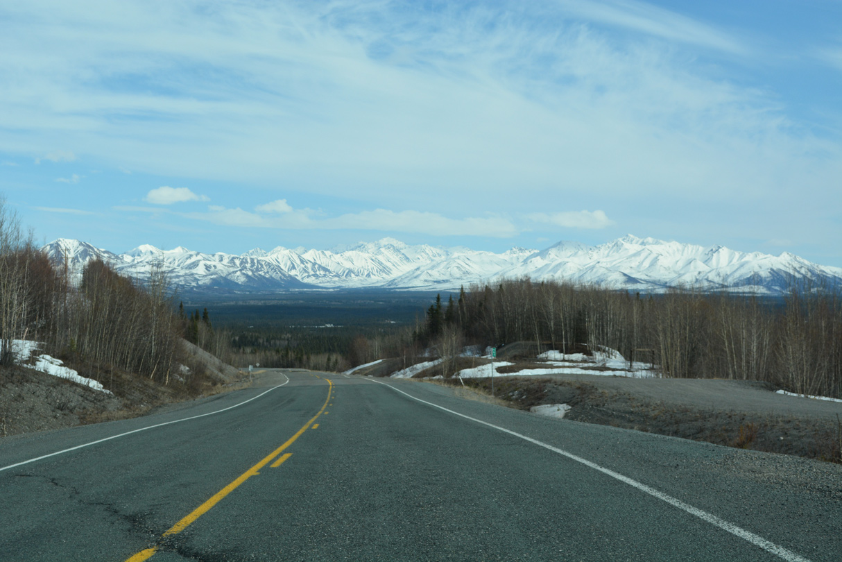
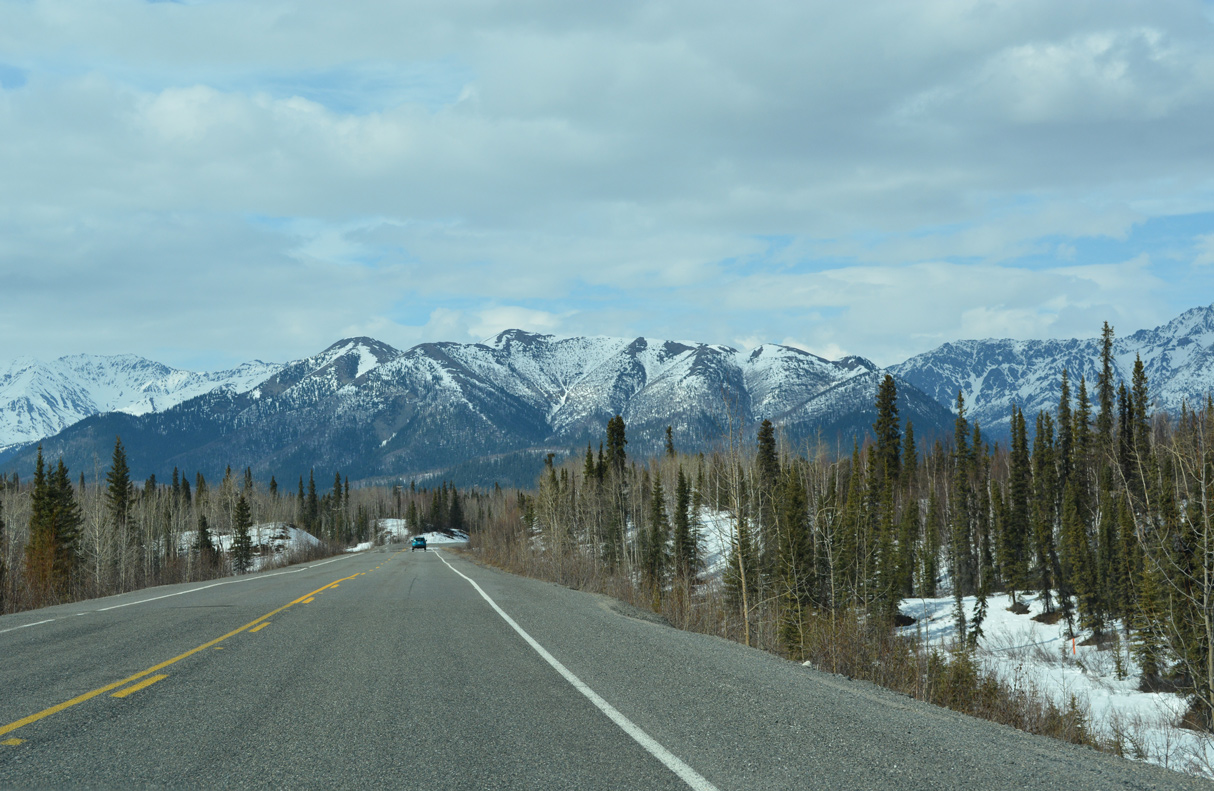
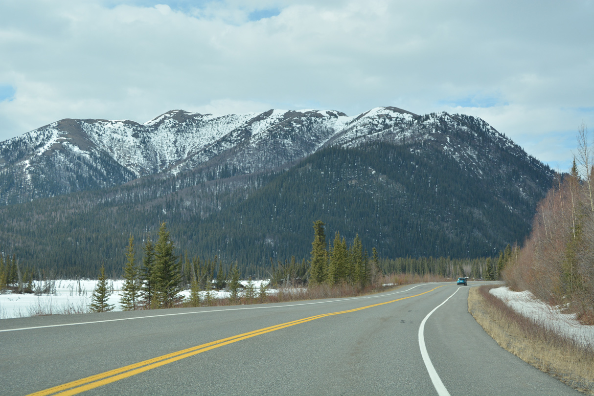
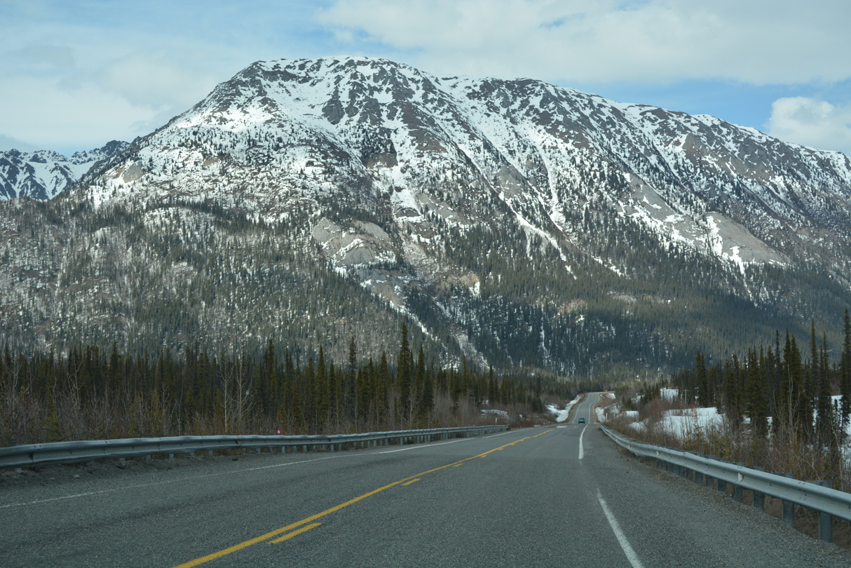
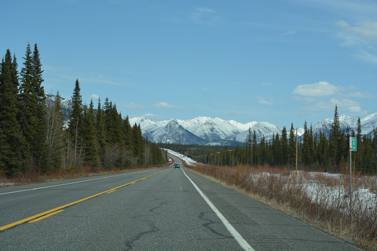
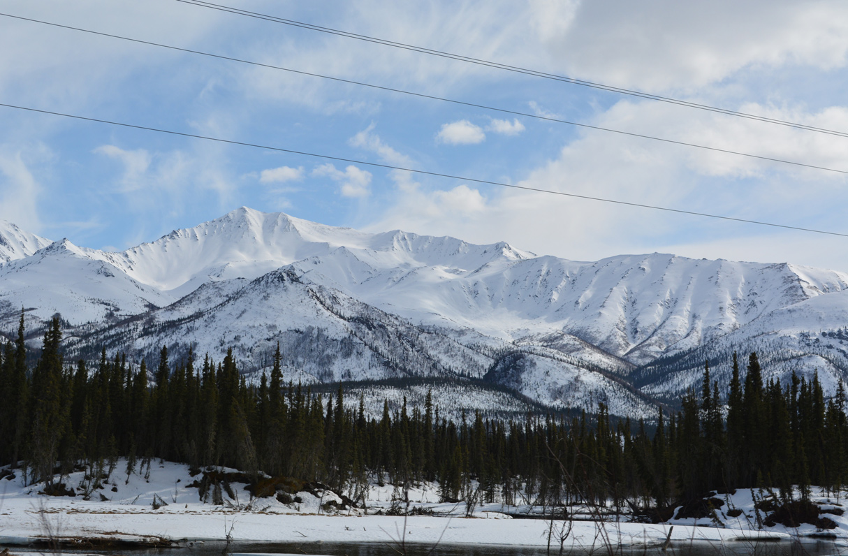
Continuing toward Slana, the Mentasta Mountains come into view.
05/07/23
05/07/23
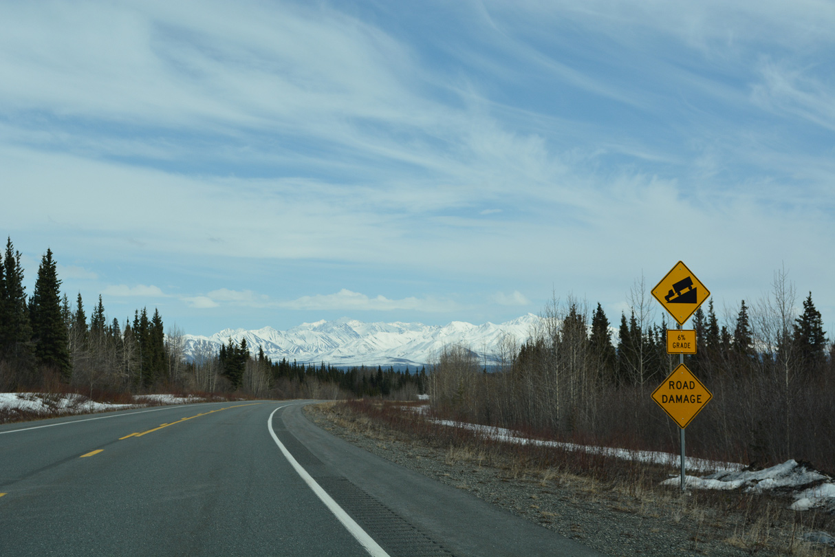
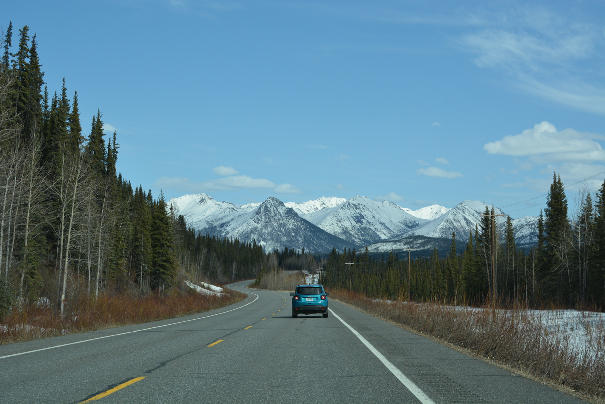
Curving south toward Slana, SR 1 lowers at a 6% grade.
05/07/23
05/07/23
05/07/23
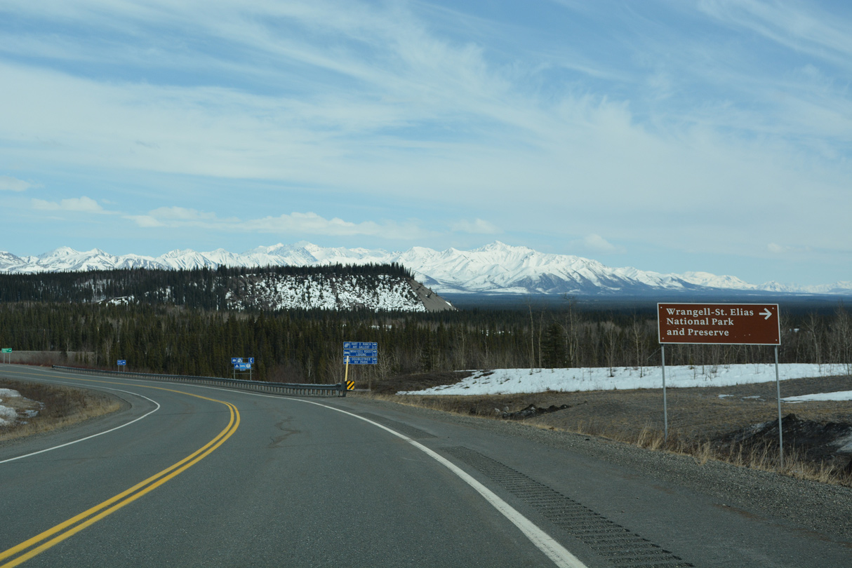
Nabesna Road is the north access road to Wrangell-St. Elias National Park.
05/07/23
05/07/23
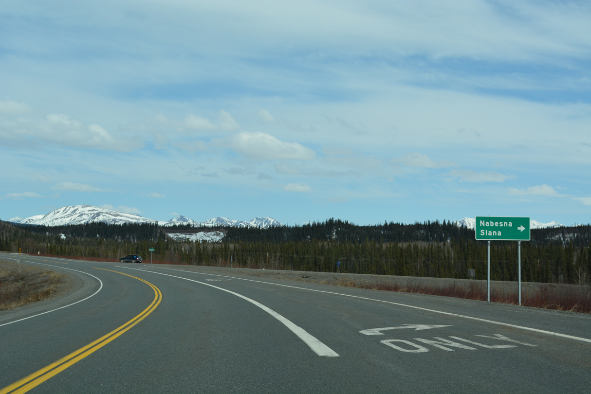
Nabesna Road spurs 41.17 miles southeast from SR 1 (Tok Cutoff Highway) to the census designation place of Nabesna.
05/07/23
05/07/23
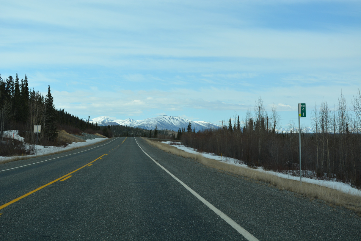
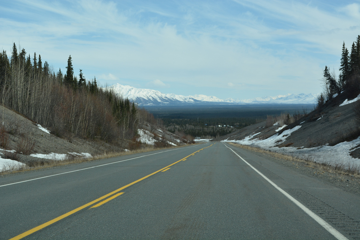
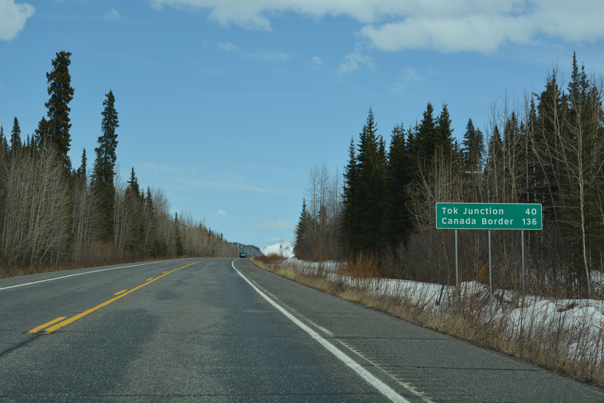
SR 1 continues 63.3 miles north from Nabesna Road to SR 2 at Tok.
05/07/23
05/07/23
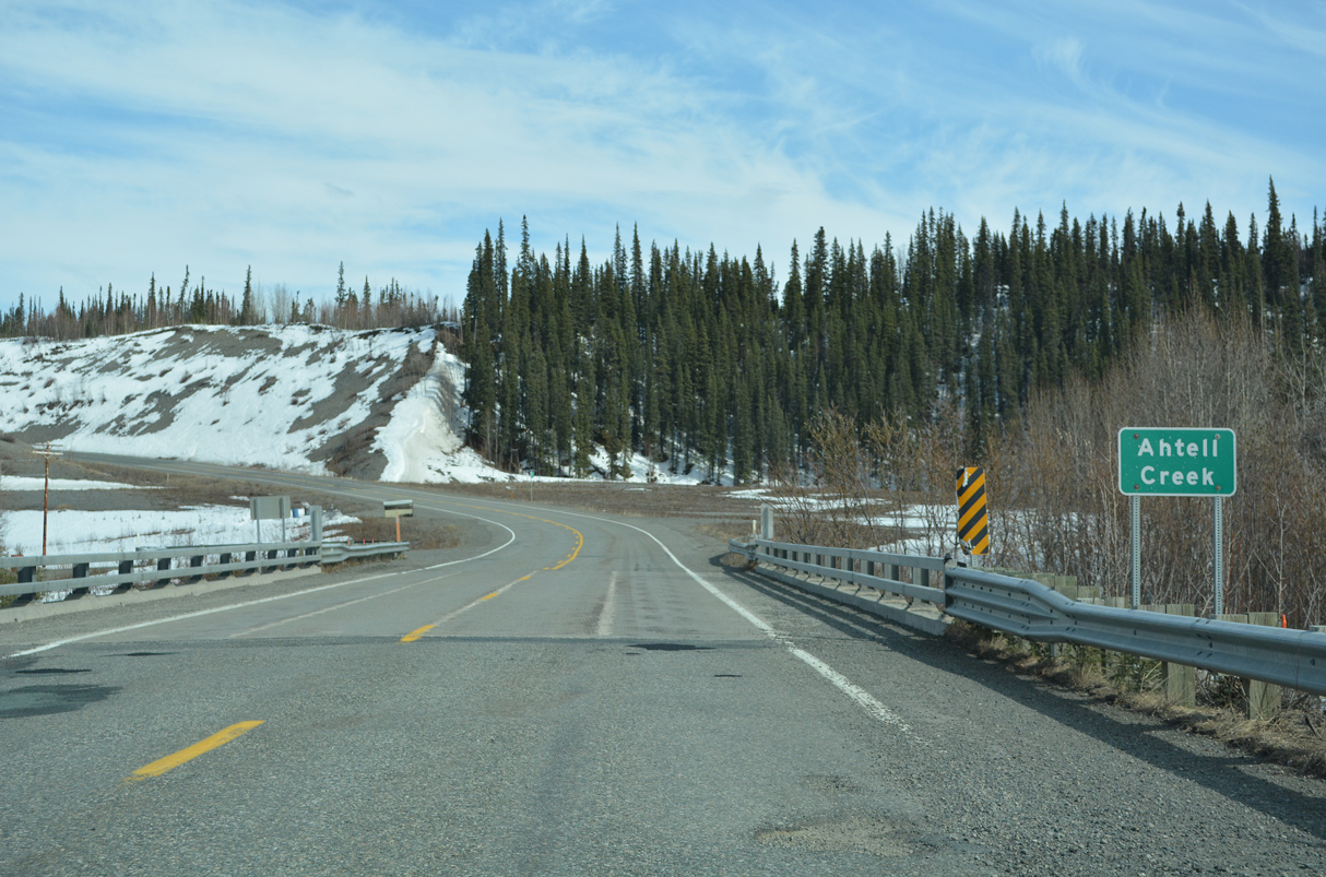
Turning back to the north, SR 1 (Tok Cutoff Highway) spans Ahtell Creek. A section of old alignment follows.
05/07/23
05/07/23
Tok Cutoff Highway lowers toward the parallel Slana River east from milepost 62.
05/07/23
05/07/23
05/07/23
05/07/23
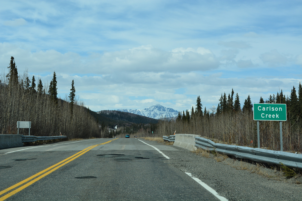
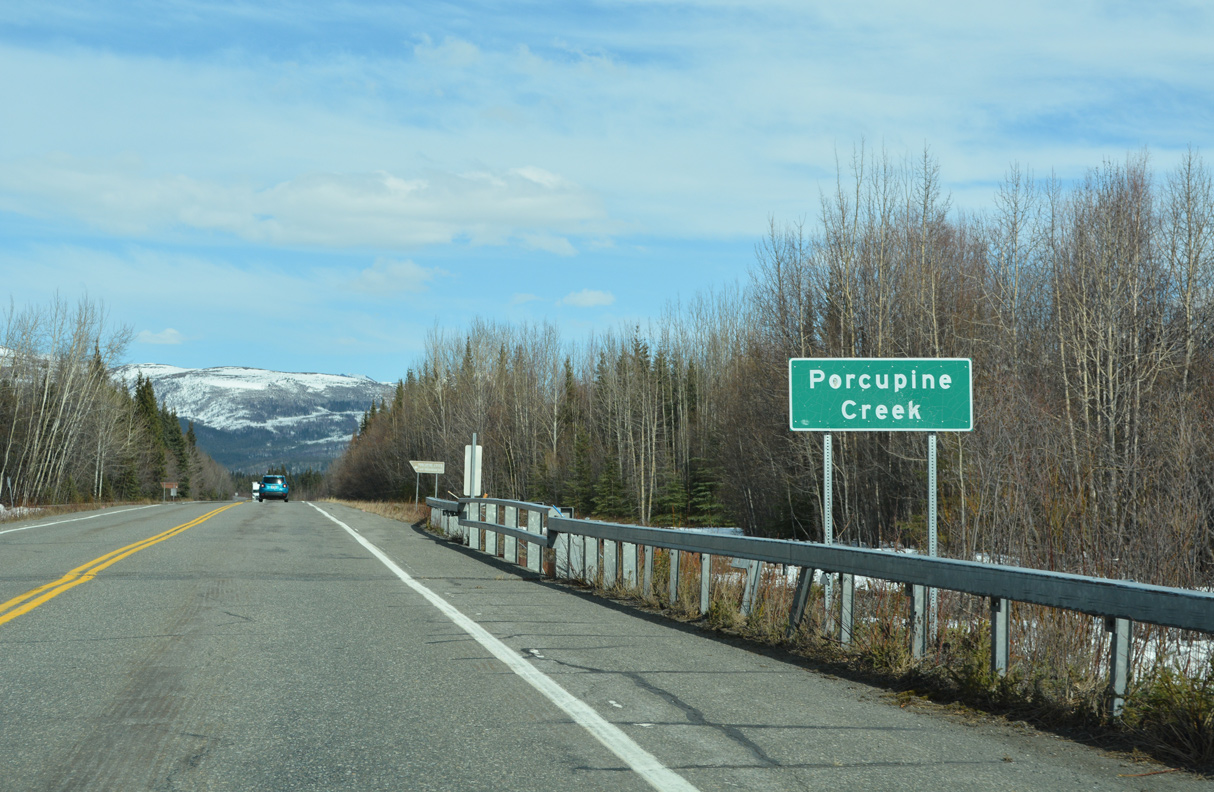
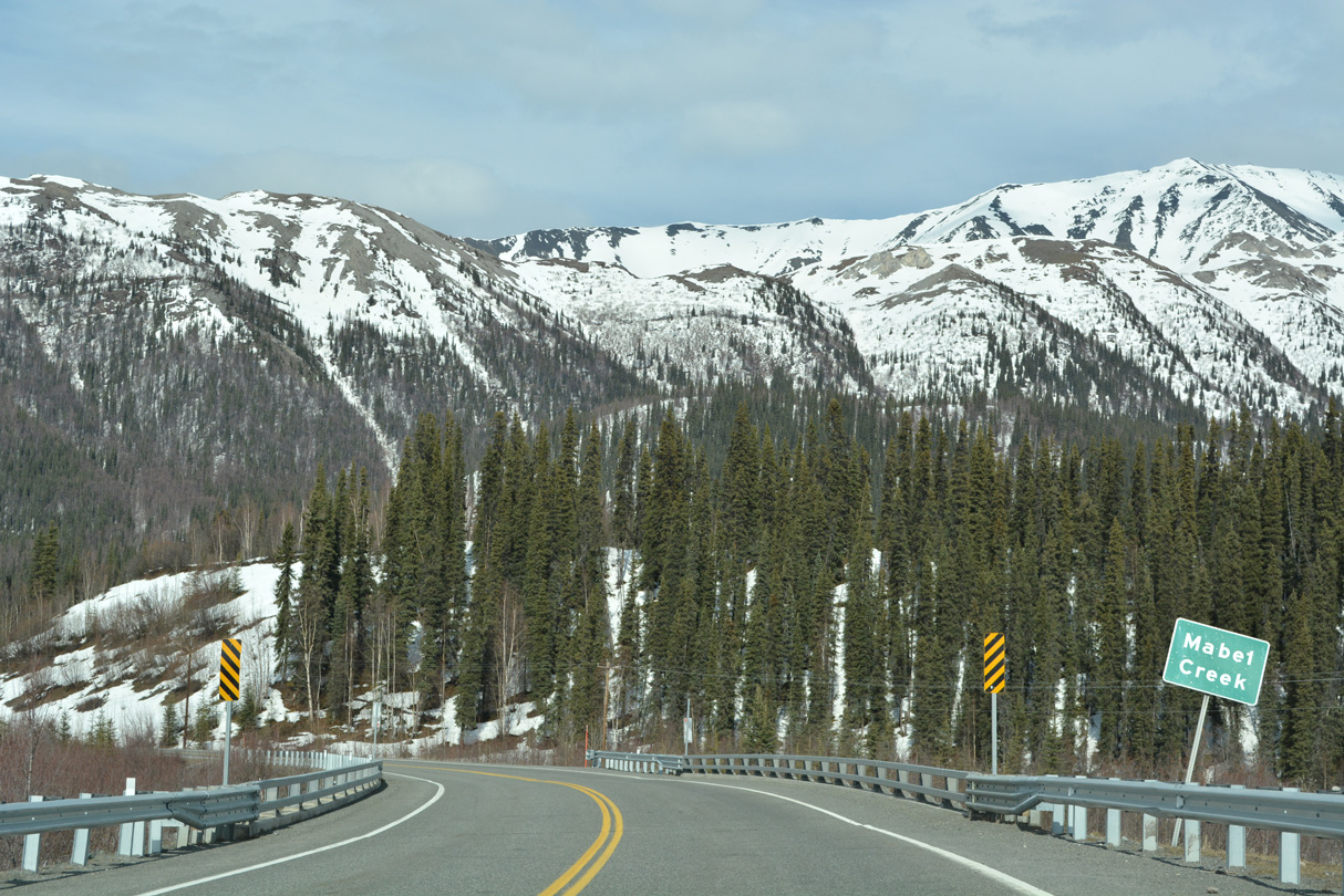
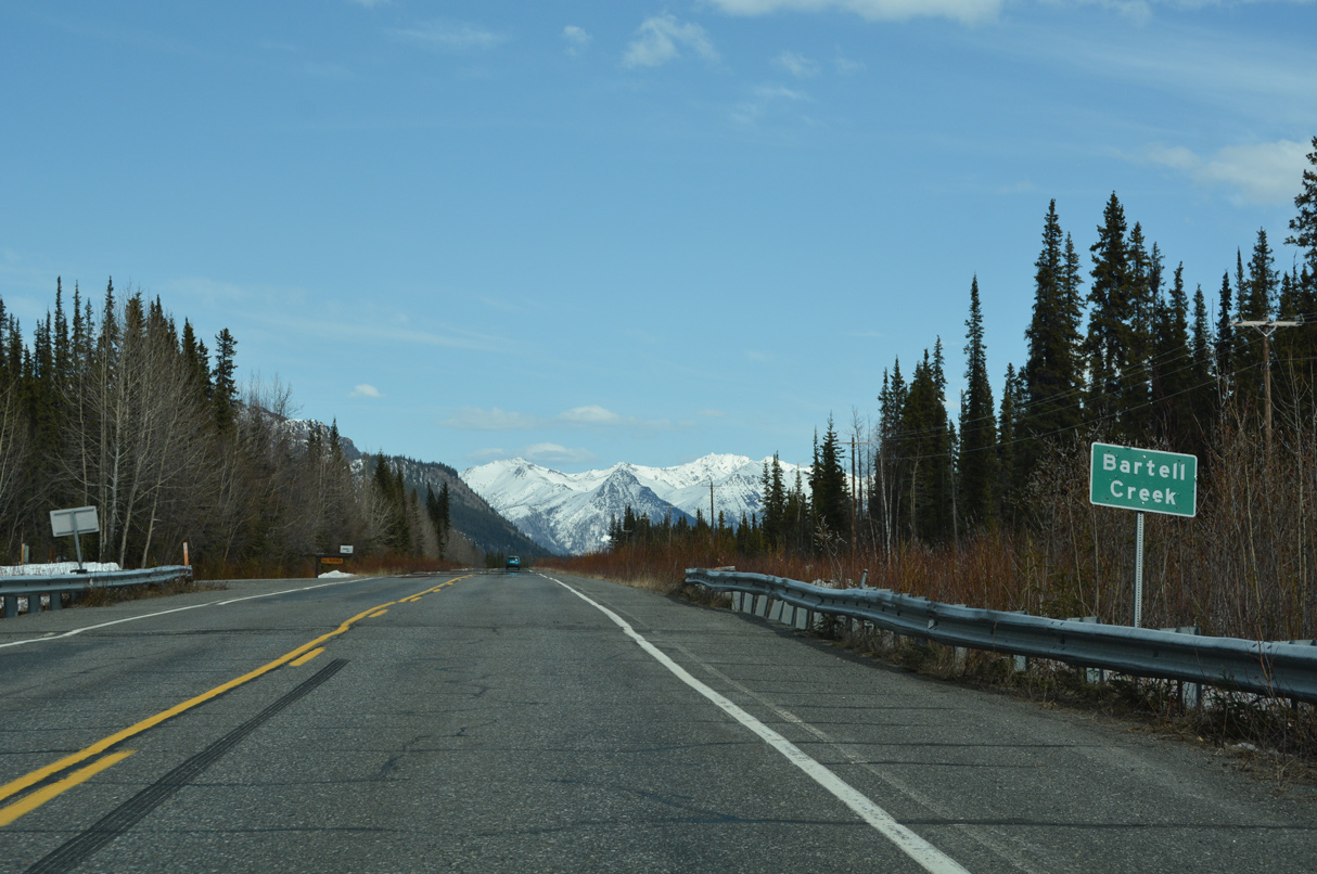
Carlson Creek drains Carlson Lake east to the Slana River.
05/07/23
05/07/23
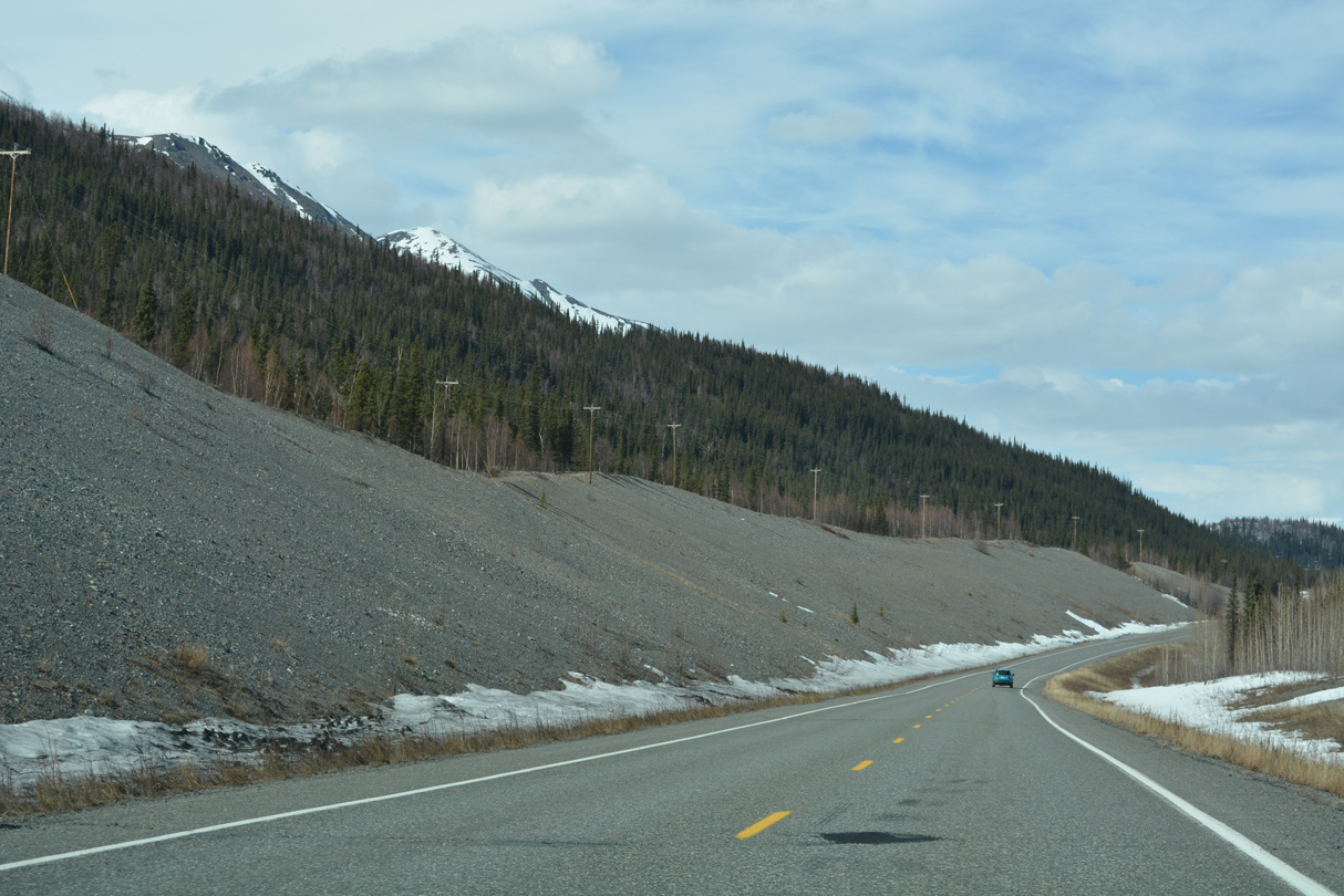
Previous road work straightened Tok Cutoff Highway north from Carlson Creek to the Slana River beyond milepost 75.
05/07/23
05/07/23
05/07/23
05/07/23
05/07/23
05/07/23
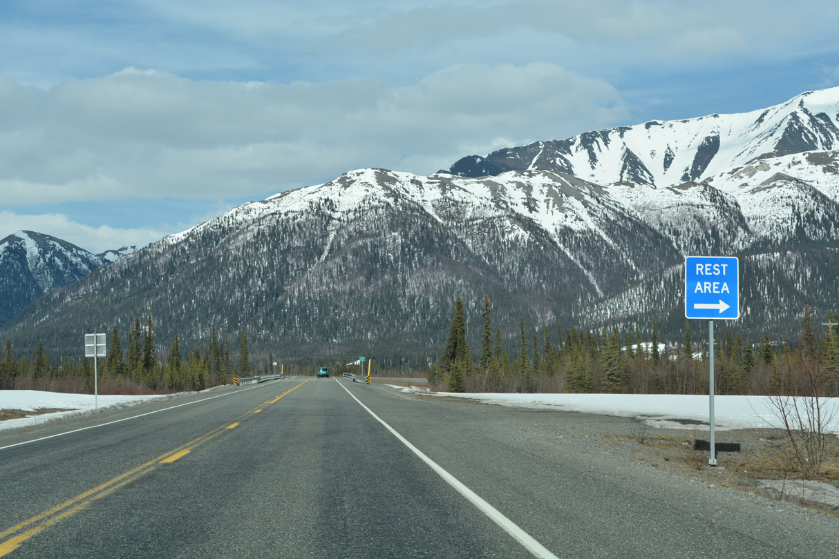
A rest area lines the east side of SR 1 (Tok Cutoff Highway) by the Slana River.
05/07/23
05/07/23
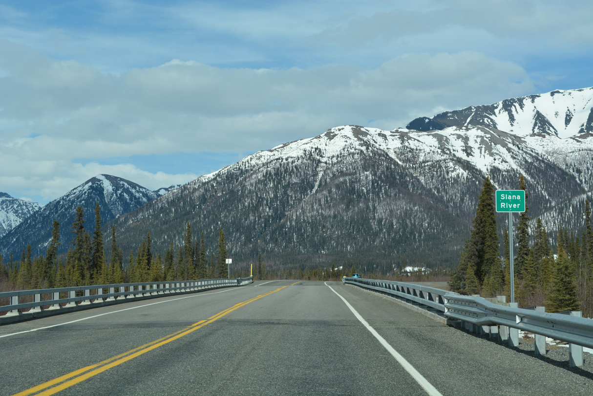
The bridge taking Tok Cutoff Highway across the Slana River was built in 2017.
05/07/23
05/07/23
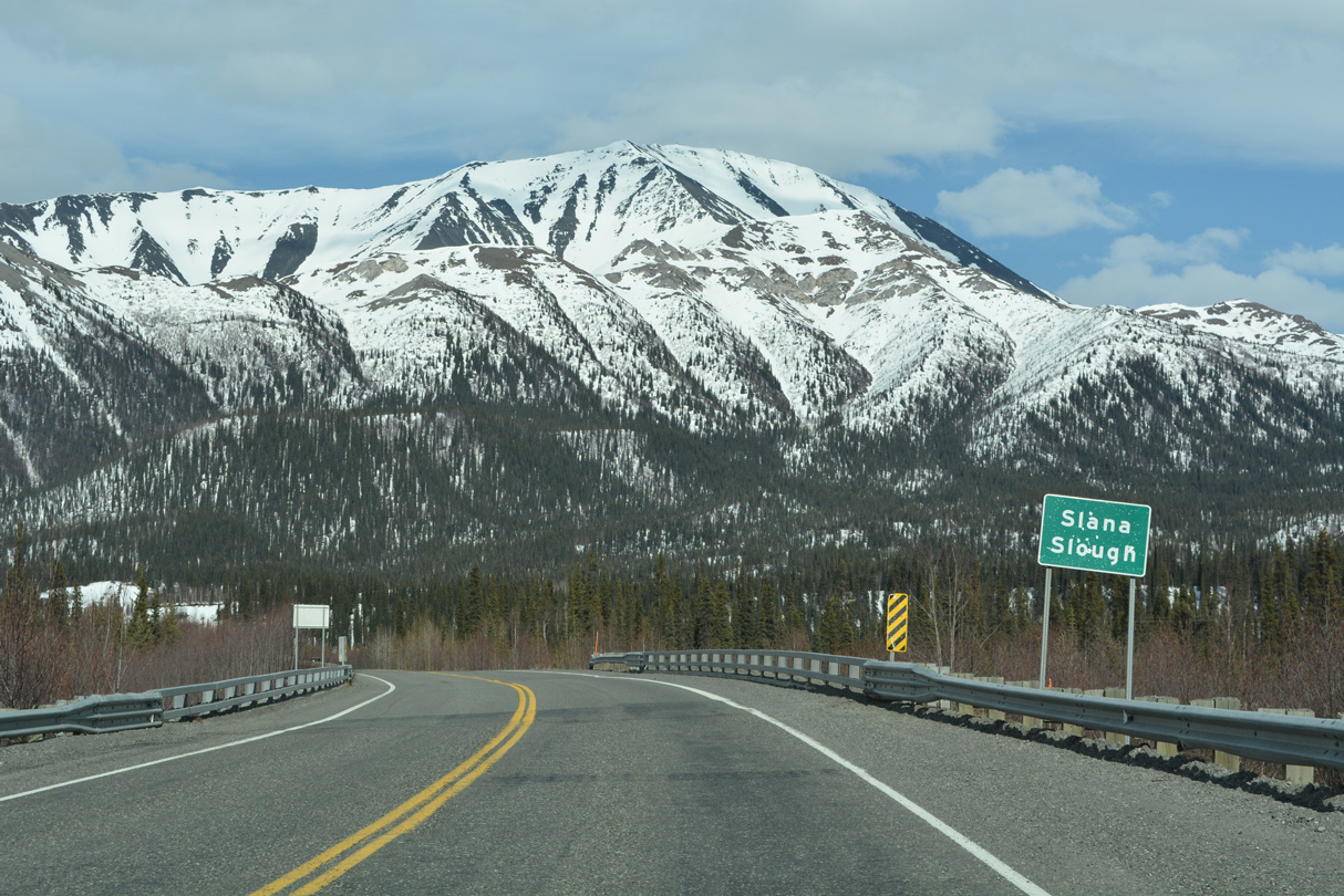
SR 1 next spans Slana Slough on a bridge constructed in 2006.
05/07/23
05/07/23
05/07/23
05/07/23
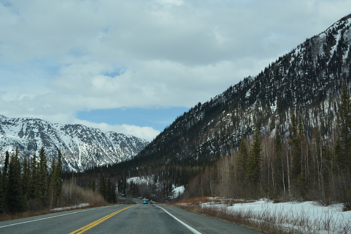
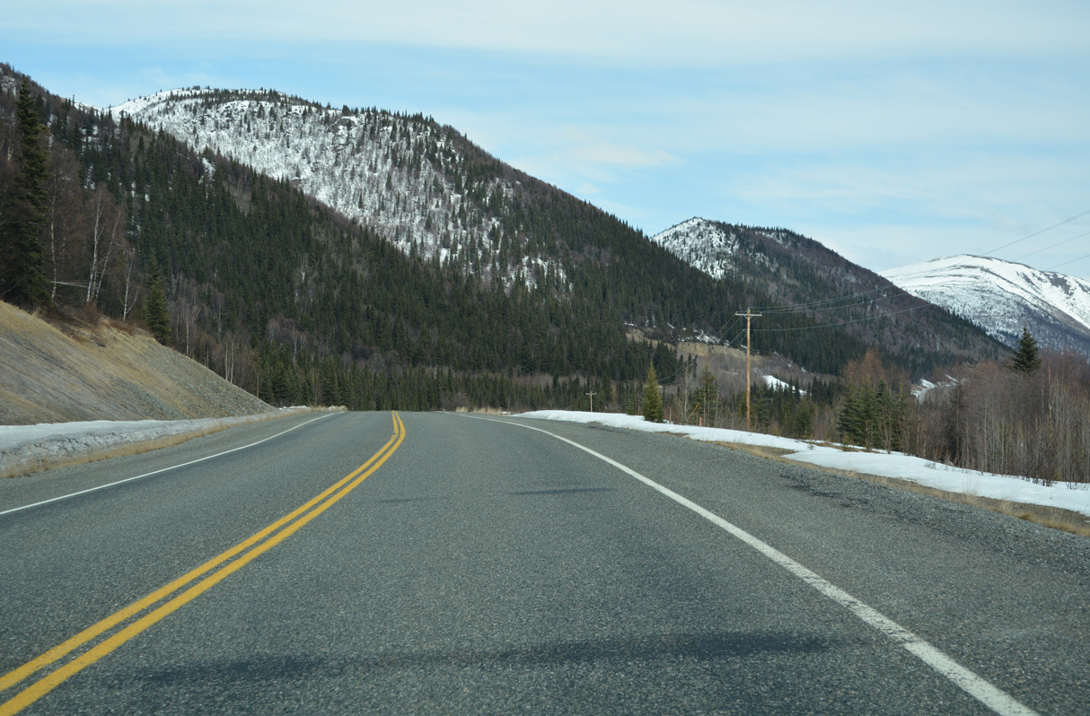
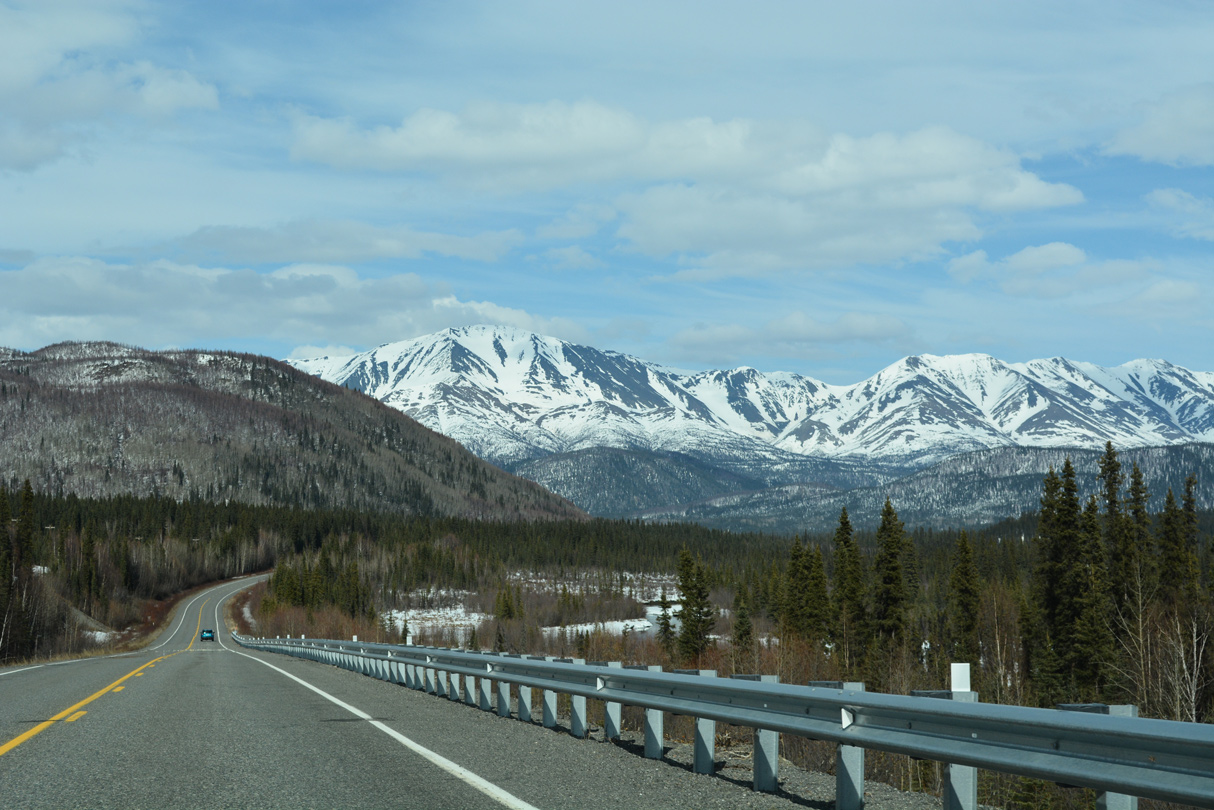
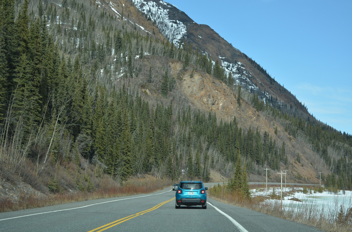
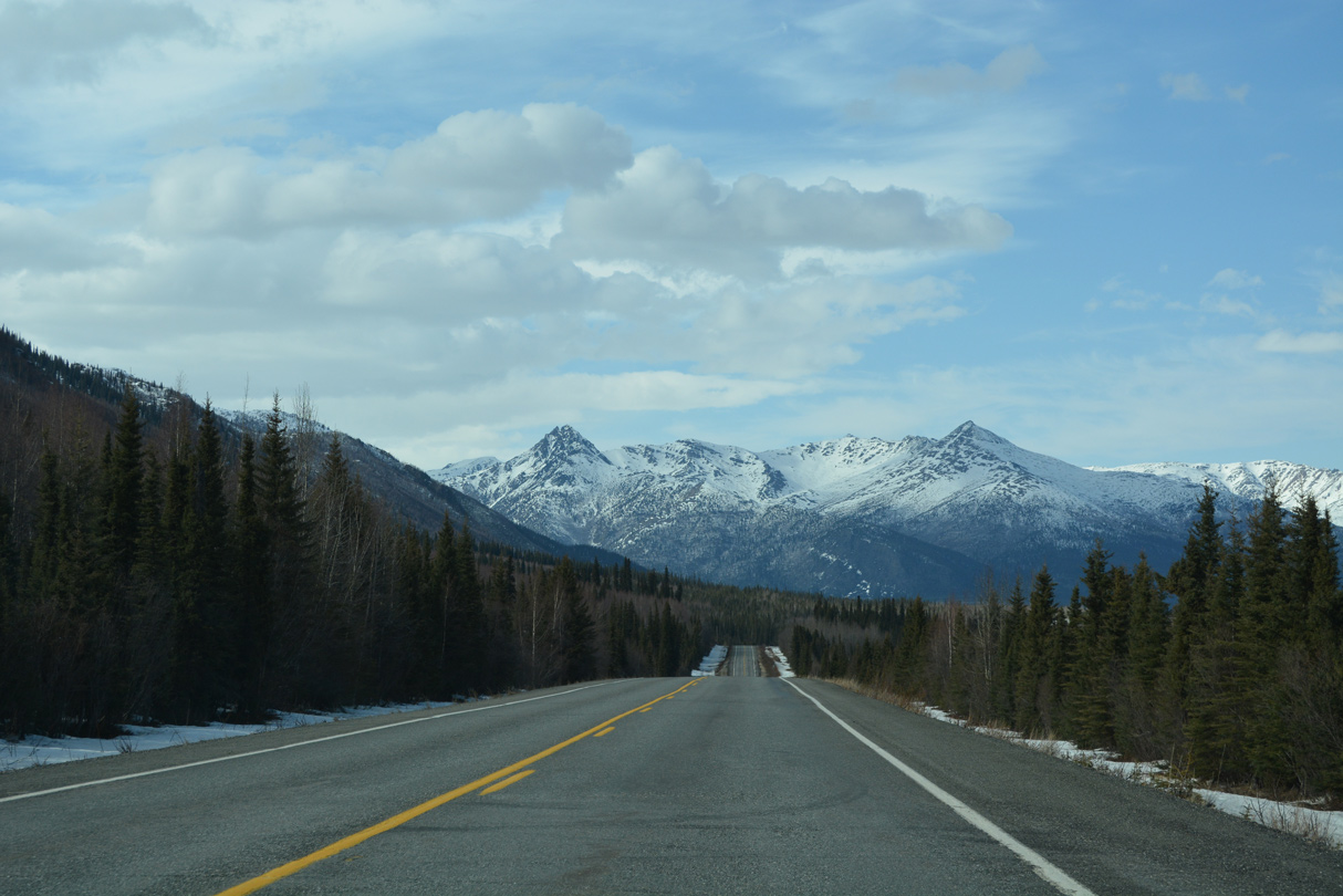
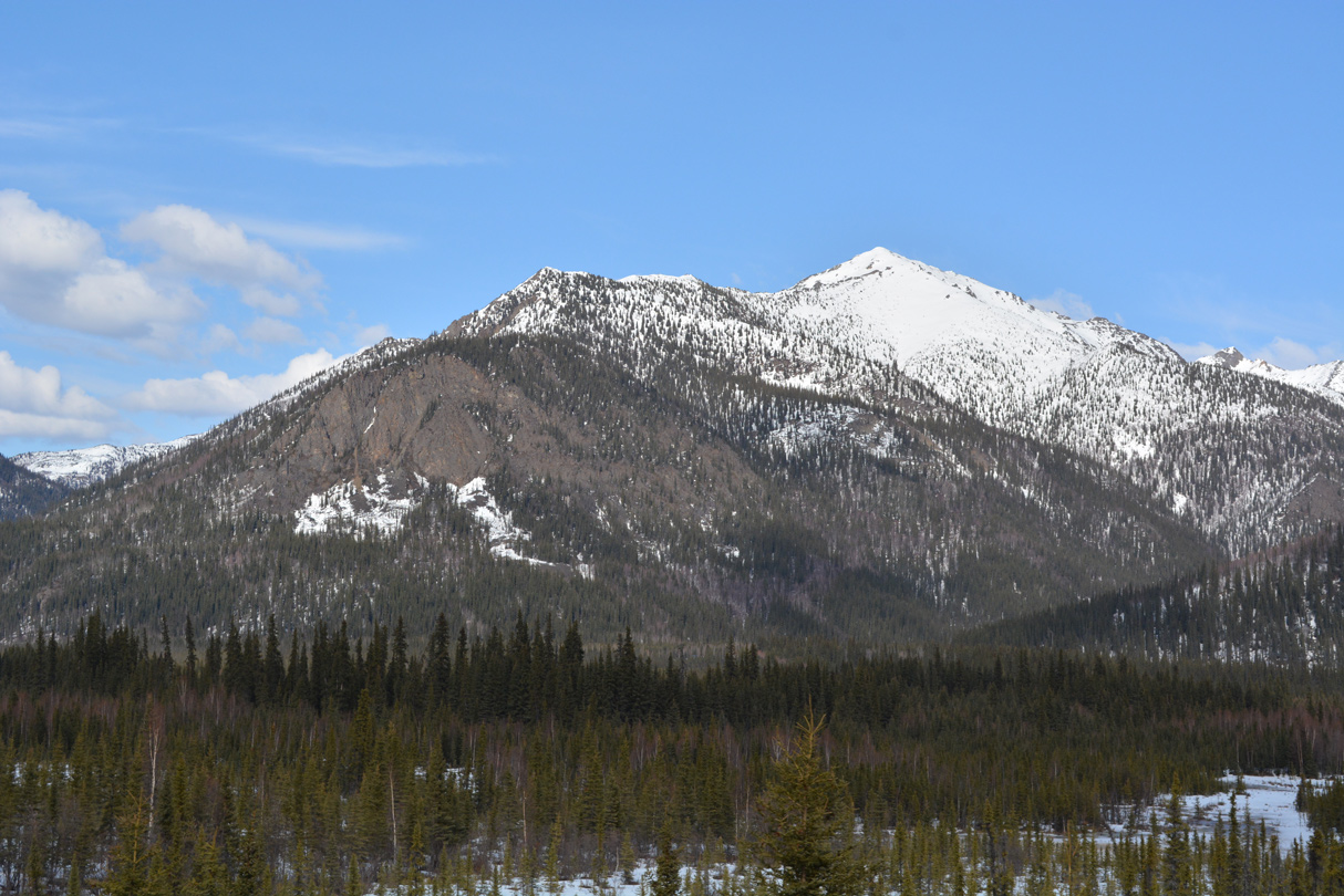
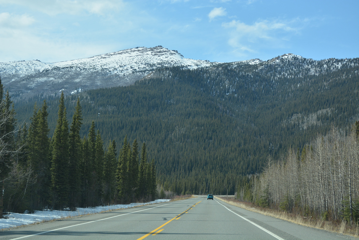
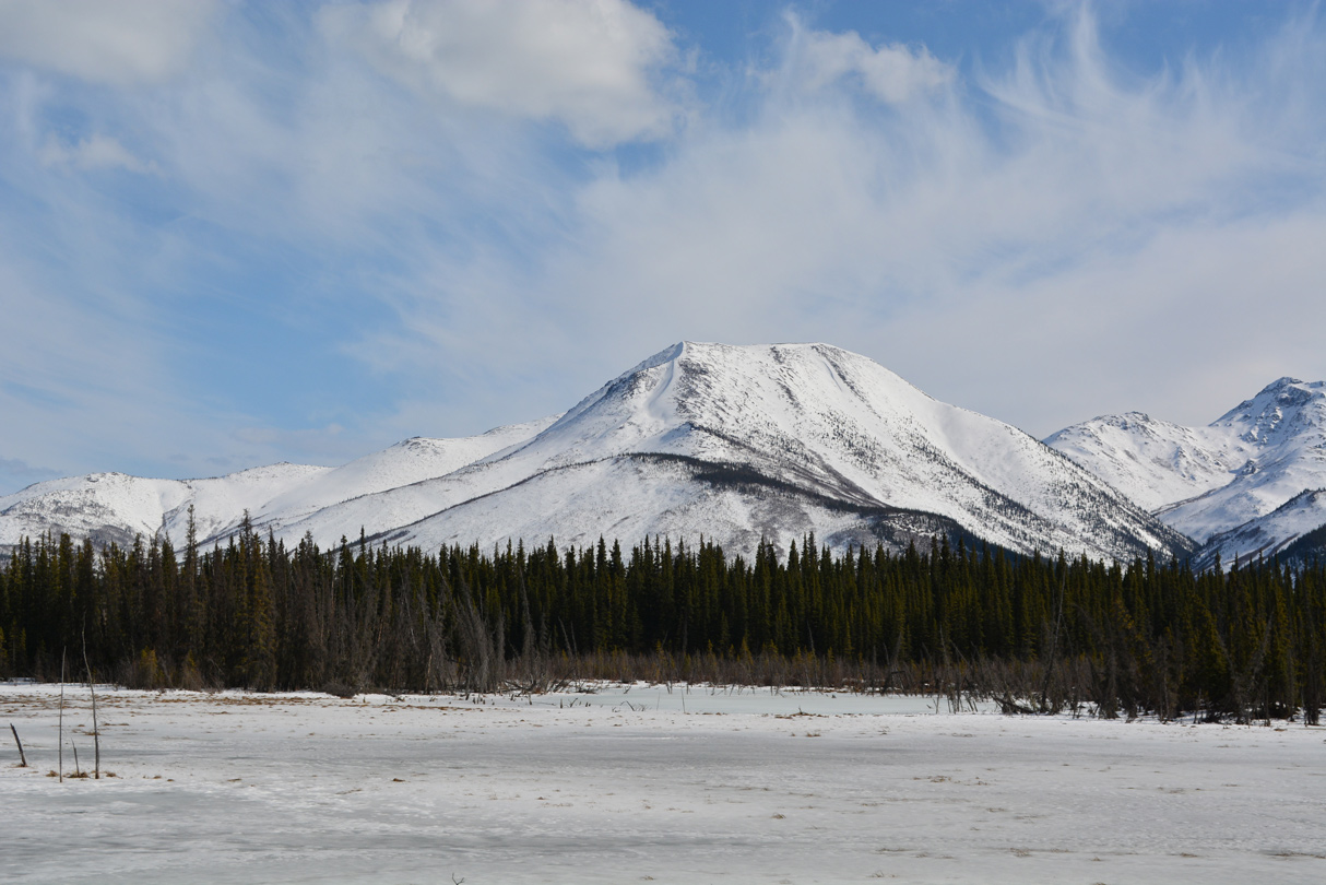
Continuing northeast across the Mentasta Mountains.
05/07/23
05/07/23
05/07/23
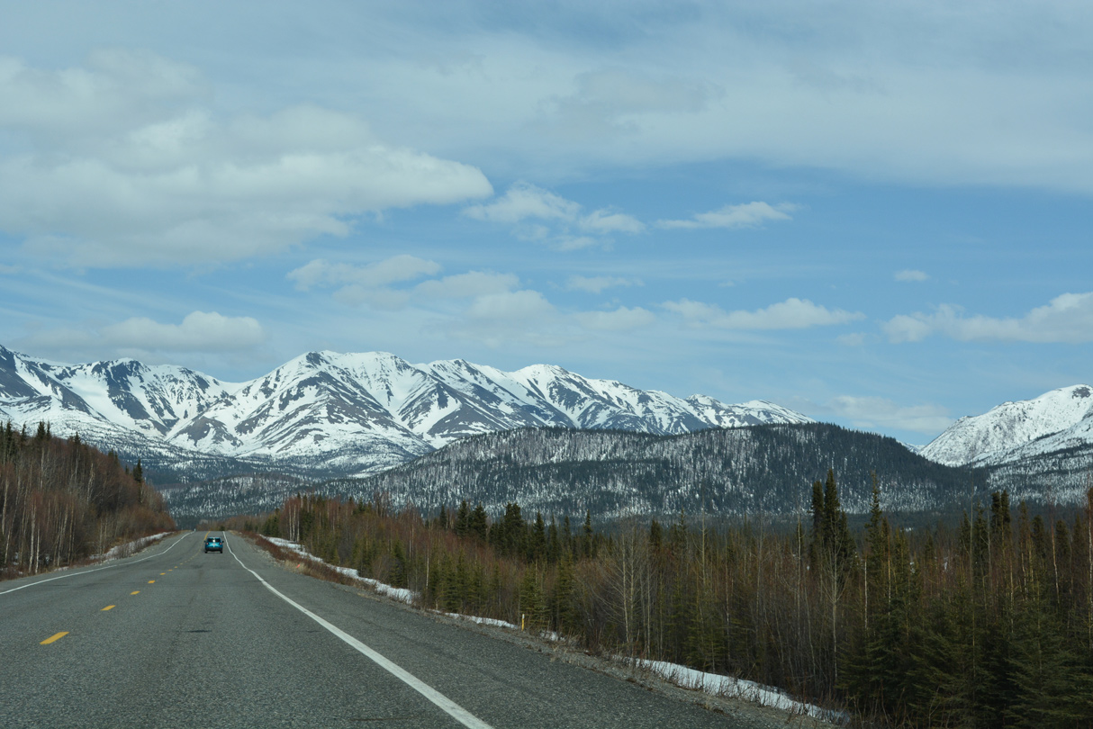
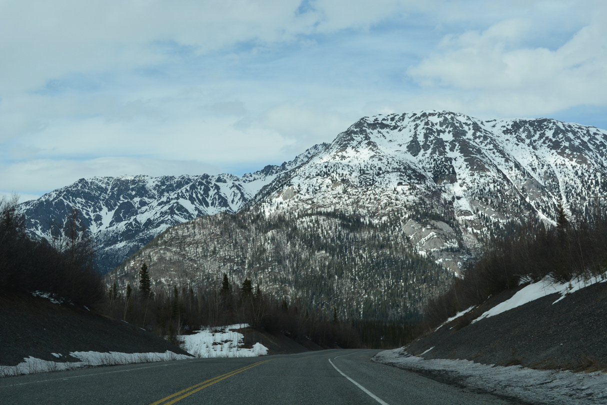
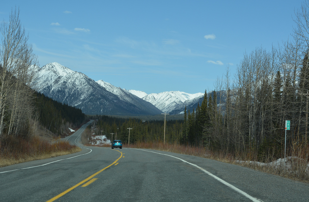
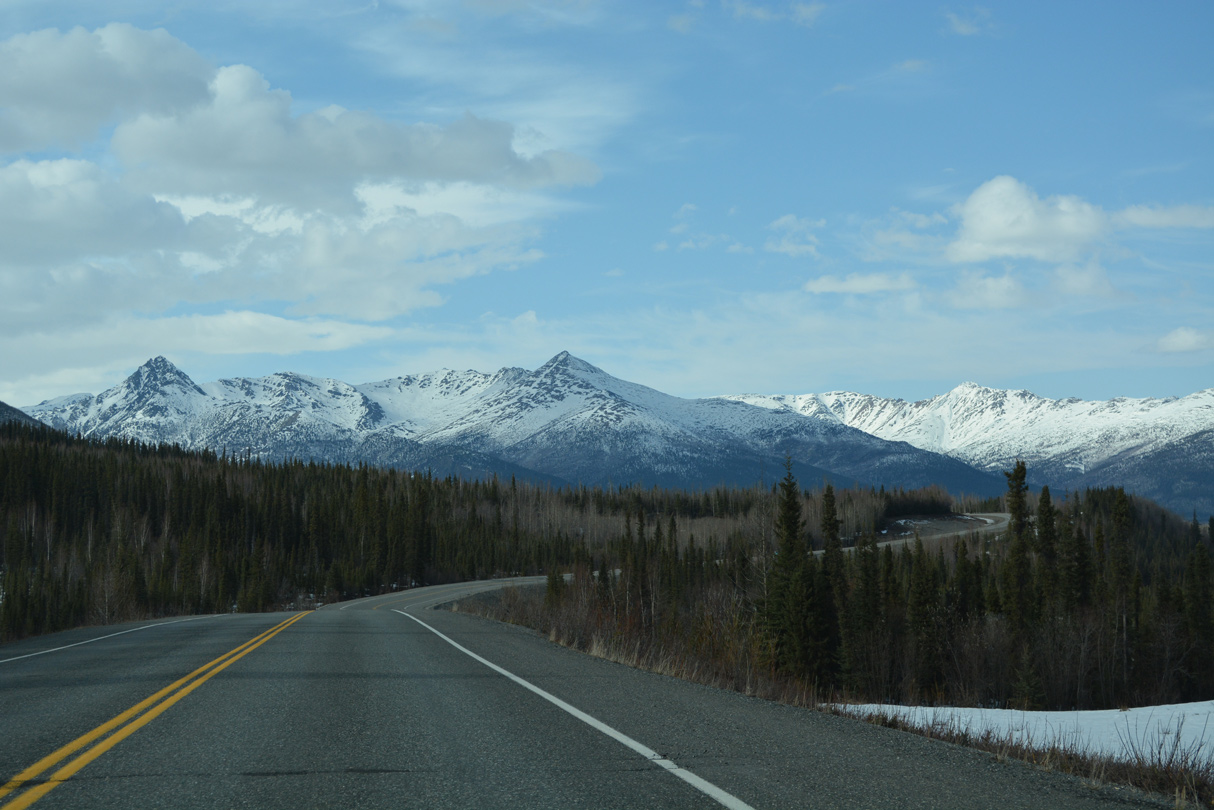
Tok Cutoff Highway north at Mentasta Pass.
05/07/23
05/07/23
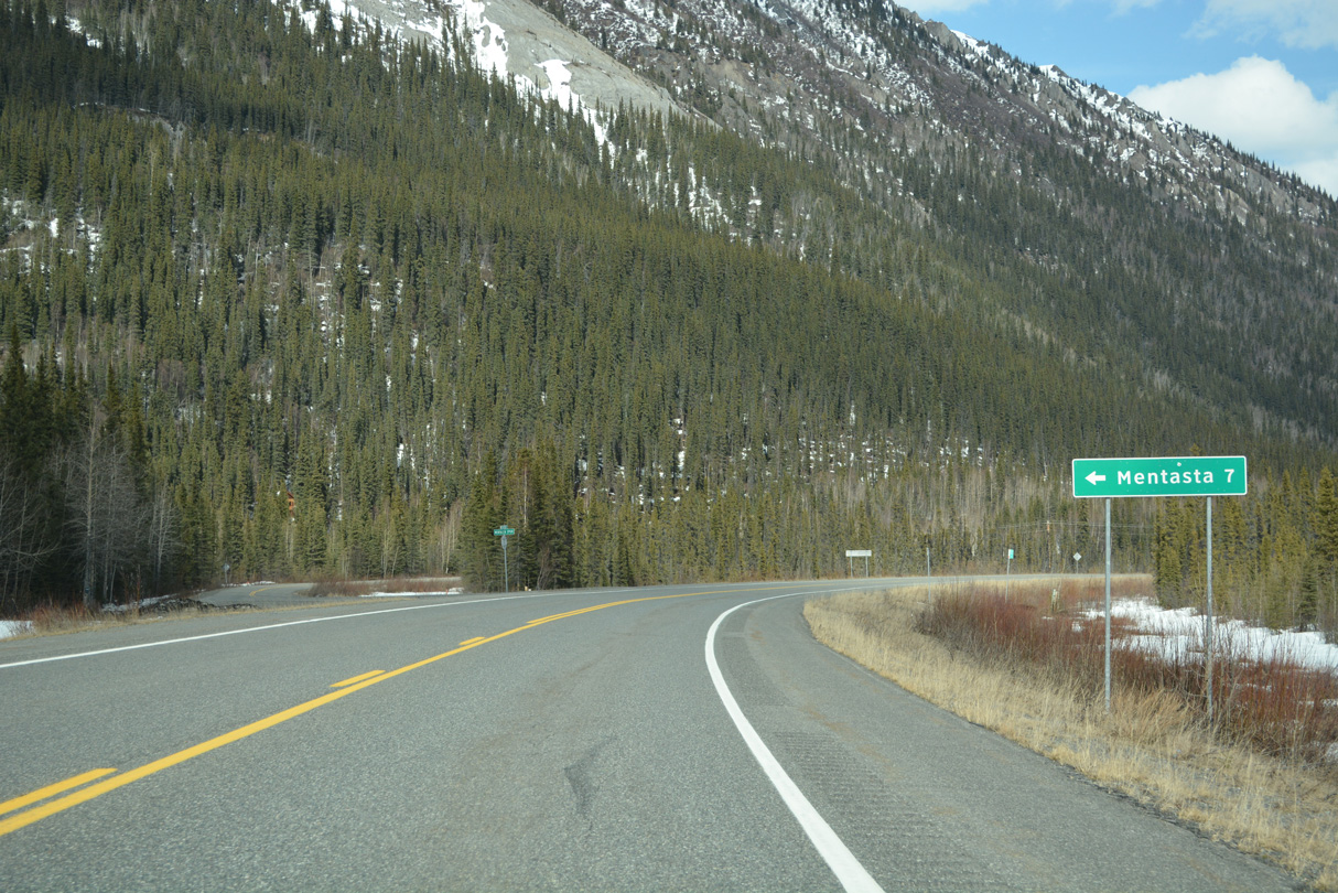
Mentasta Spur Road leads 6.00 miles west from SR 1 to Third Street at Mentasta Lake.
05/07/23
05/07/23
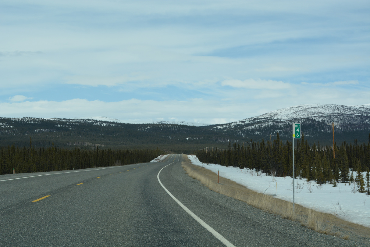
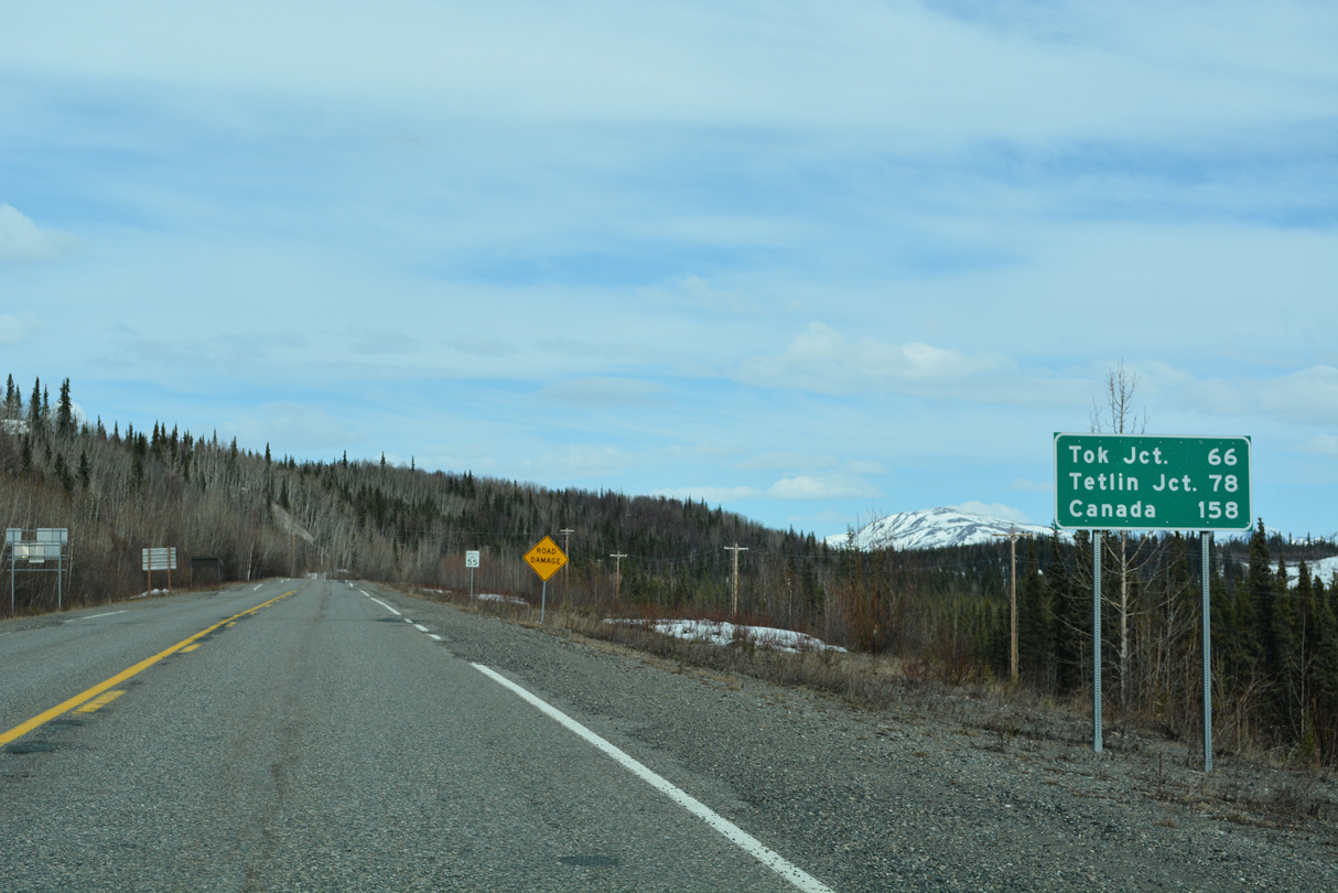
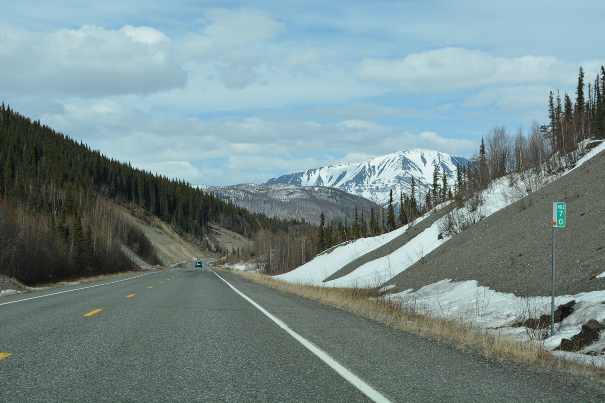
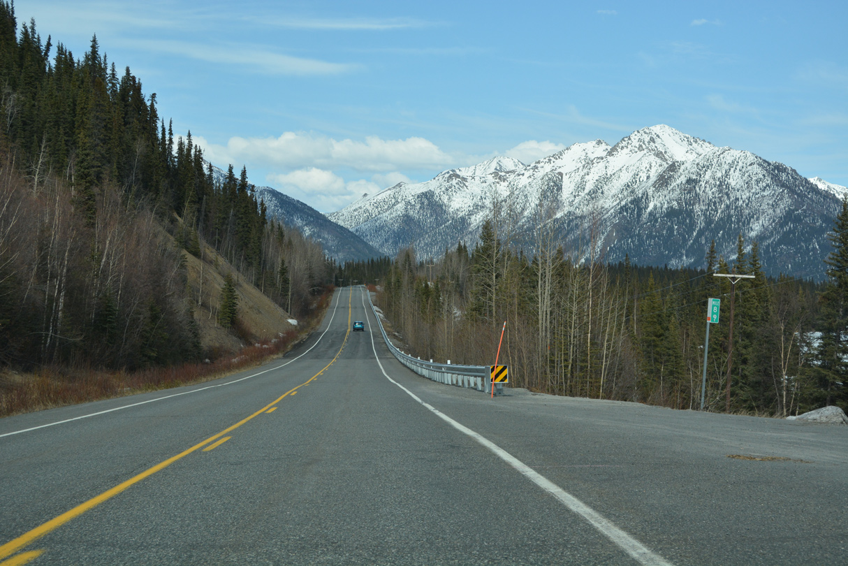
40 miles remain along SR 1 northeast to Tok.
05/07/23
05/07/23
05/07/23
05/07/23
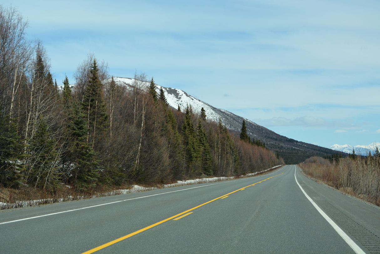
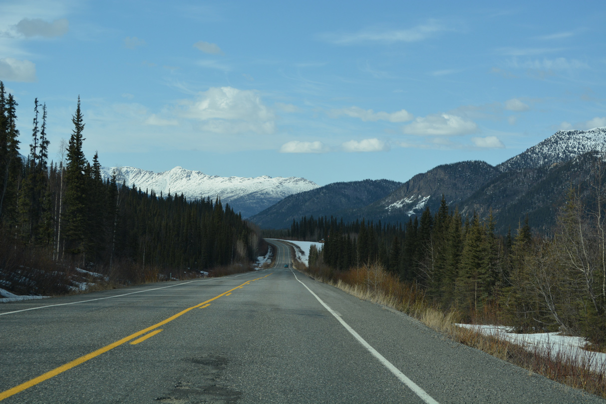
An S-curve along SR 1 east of Snowshoe Creek and Tok Cutoff Highway mile marker 86.
05/07/23
05/07/23
05/07/23
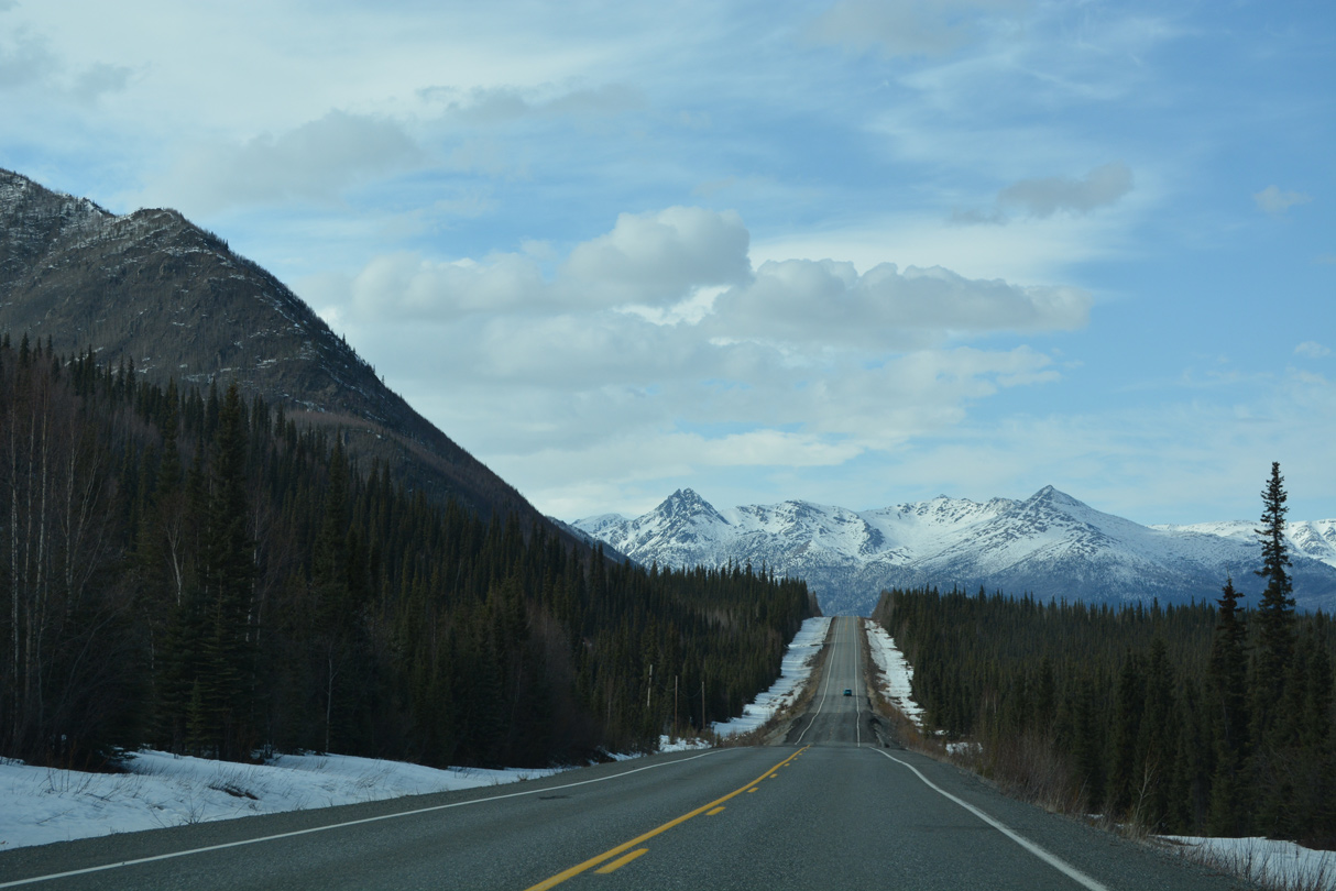
Curving northward at mile marker 88, SR 1 advances past Mineral Lake.
05/07/23
05/07/23
Mineral Lake
05/07/23
05/07/23
05/07/23
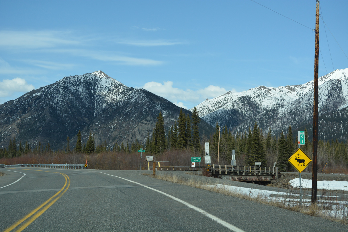
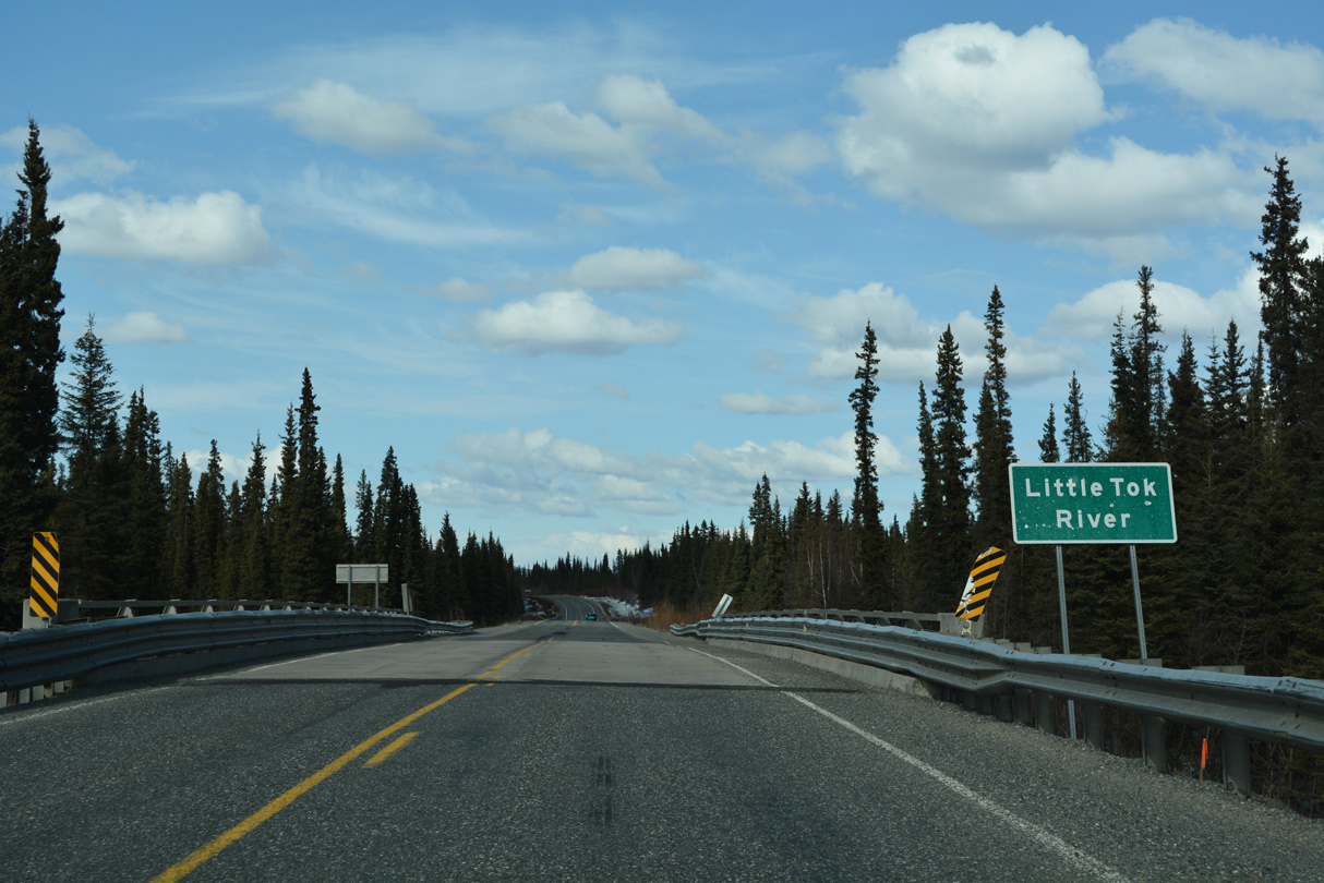
The Little Tok River flows adjacent to Tok Cutoff Highway at mile marker 91.
05/07/23
05/07/23
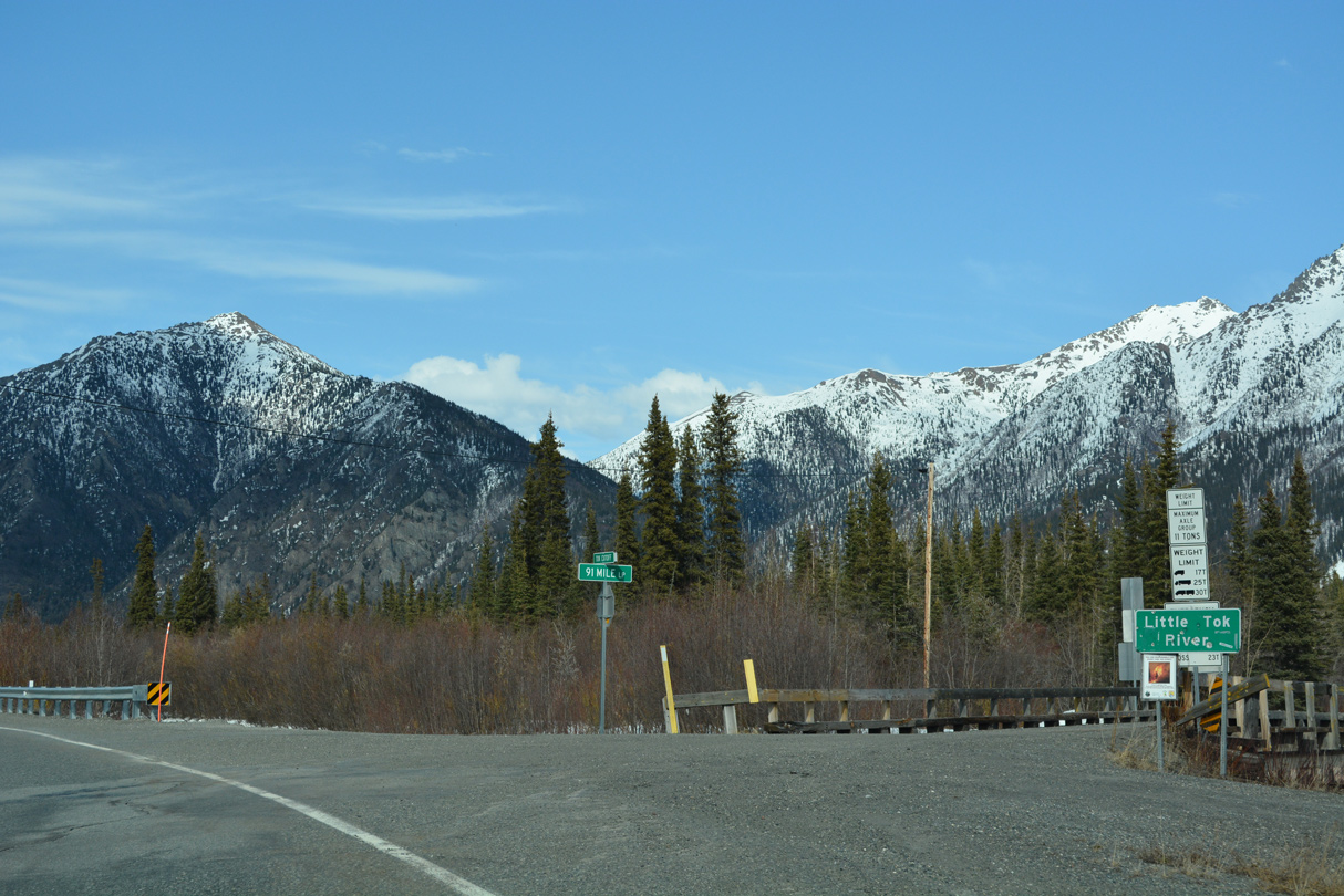
91 Mile Loop branches east from SR 1 at milepost 91 and returns to Tok Cutoff Highway midway between mileposts 98 and 99.
05/07/23
05/07/23
05/07/23
05/07/23
05/07/23
05/07/23
05/07/23
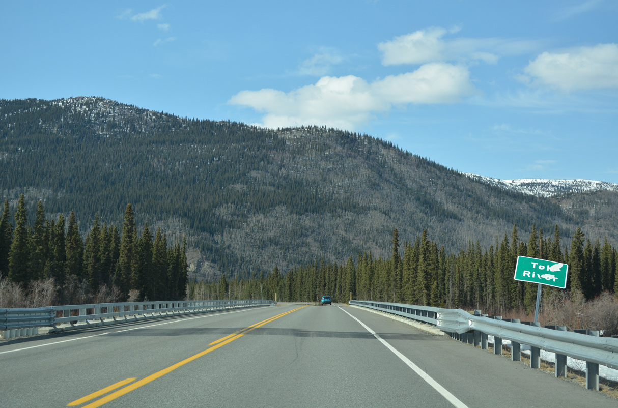
SR 1 (Tok Cutoff Highway) spans the Little Tok River north of mile marker 98.
05/07/23
05/07/23
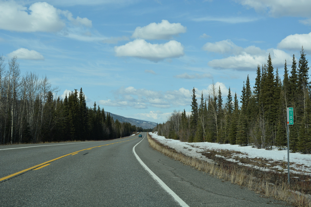
The fourth mile marker 100 along SR 1 (Tok Cutoff Highway) north. Previous mileposts were for Sterling Highway, Seward Highway and Glenn Highway
05/07/23
05/07/23
05/07/23
The bridge taking Tok Cutoff Highway across the Tok River was built in 2016.
05/07/23
05/07/23
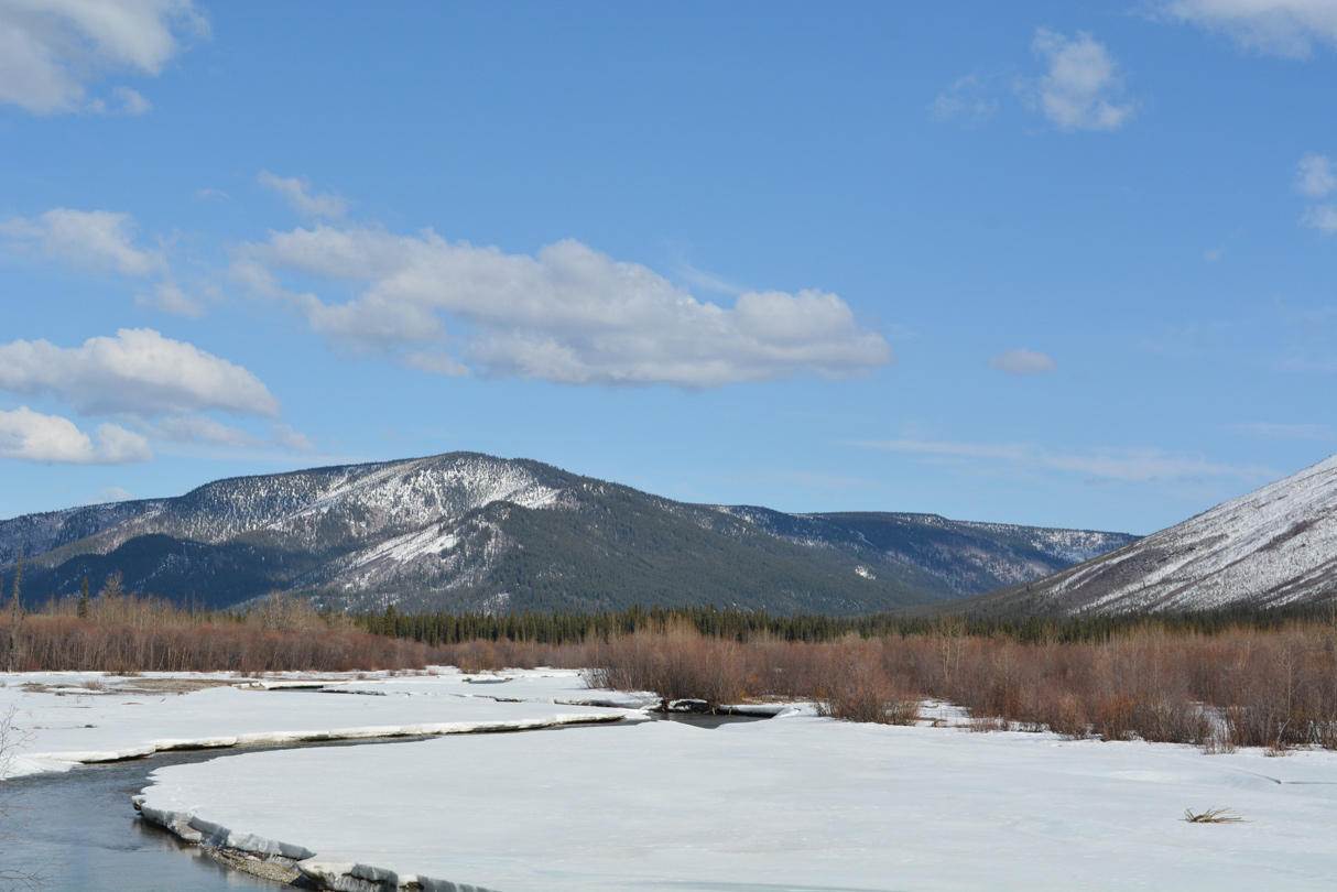
The Tok River flows northeast from the Mentasta Mountains into the Tanana River.
05/07/23
05/07/23
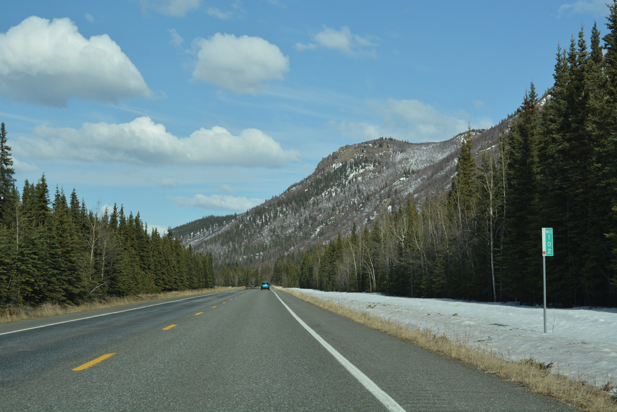
SR 1 curves northeast from milepost 104 into the Southeast Fairbanks Census Area.
05/07/23
05/07/23
05/07/23
05/07/23
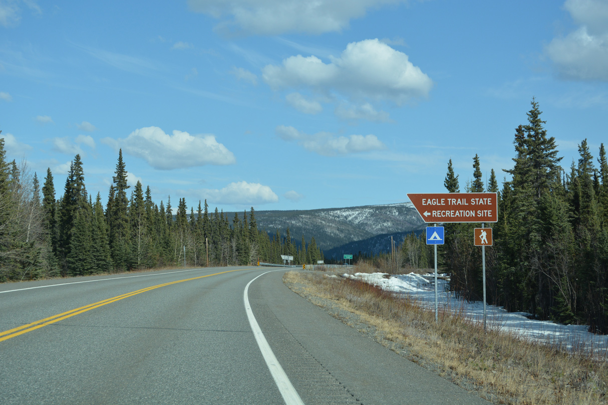
Eagle Trail State Recreation Site lies on the north side of SR 1 (Tok Cutoff Highway) at Clearwater Creek.
05/07/23
05/07/23
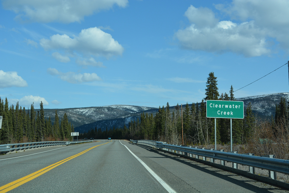
SR 1 passes over Clearwater Creek between Tok Cutoff Highway milepost 109 and 110.
05/07/23
05/07/23
05/07/23
05/07/23
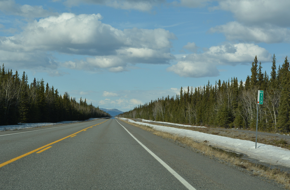
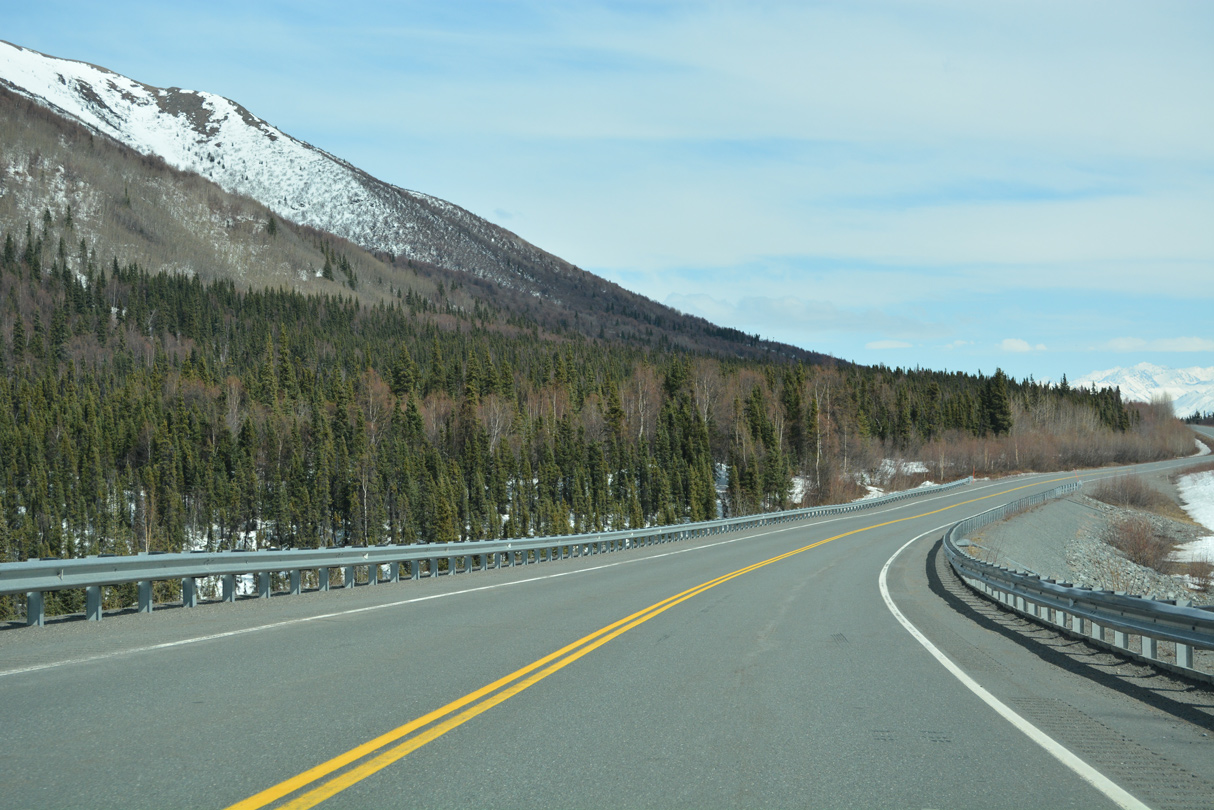
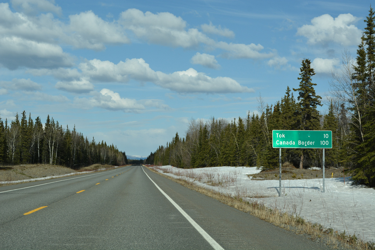
Following a sweeping S-curve, SR 1 (Tok Cutoff Highway) straightens out northward on the final 7.4 miles leading into Tok.
05/07/23
05/07/23
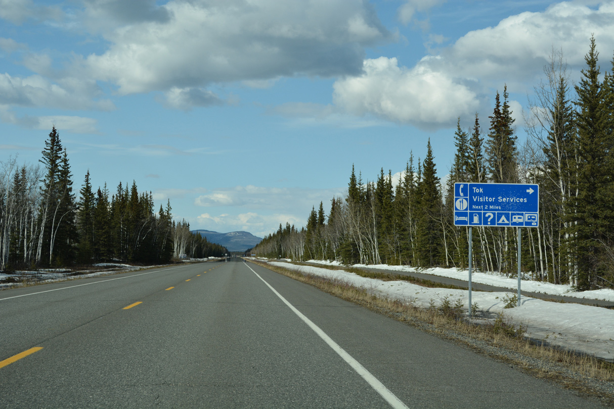
Representing the regional service center of the Southeast Fairbanks Census Area, Tok is an unincorporated community with over 1,200 residents.
05/07/23
05/07/23
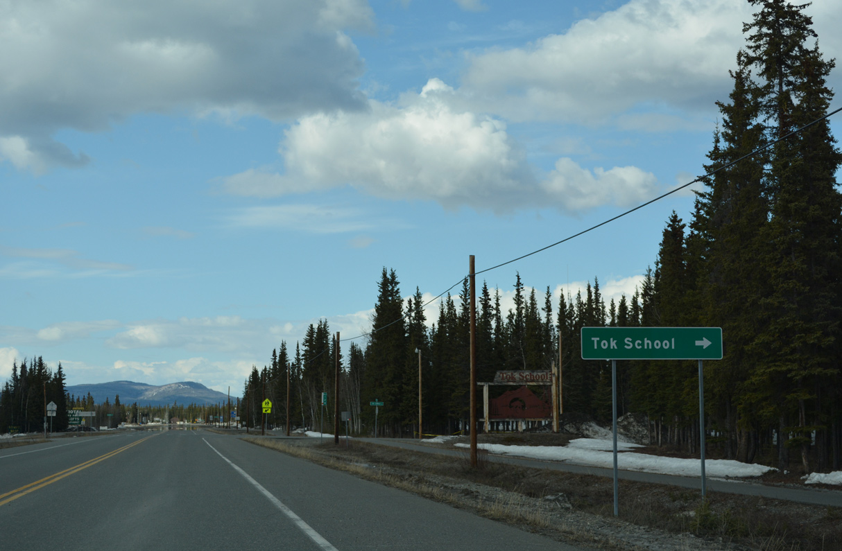
Jon Summar Road spurs 0.62 miles east from SR 1 at milepost 124 to Tok School.
05/07/23
05/07/23
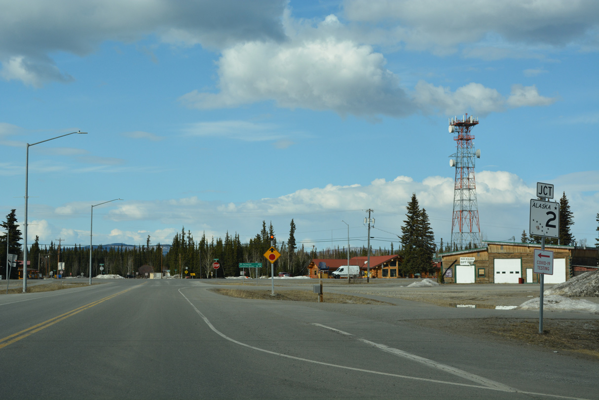
SR 1 and unsigned Interstate A-2 conclude at a stop sign intersection with SR 2 (Alaska Highway) and Center Street in Tok. I-A1 continues along SR 2 southeast to the International Border with Canada while SR 2 northwest to SR 3 (Parks Highway) in Fairbanks is I-A2.
05/07/23
05/07/23
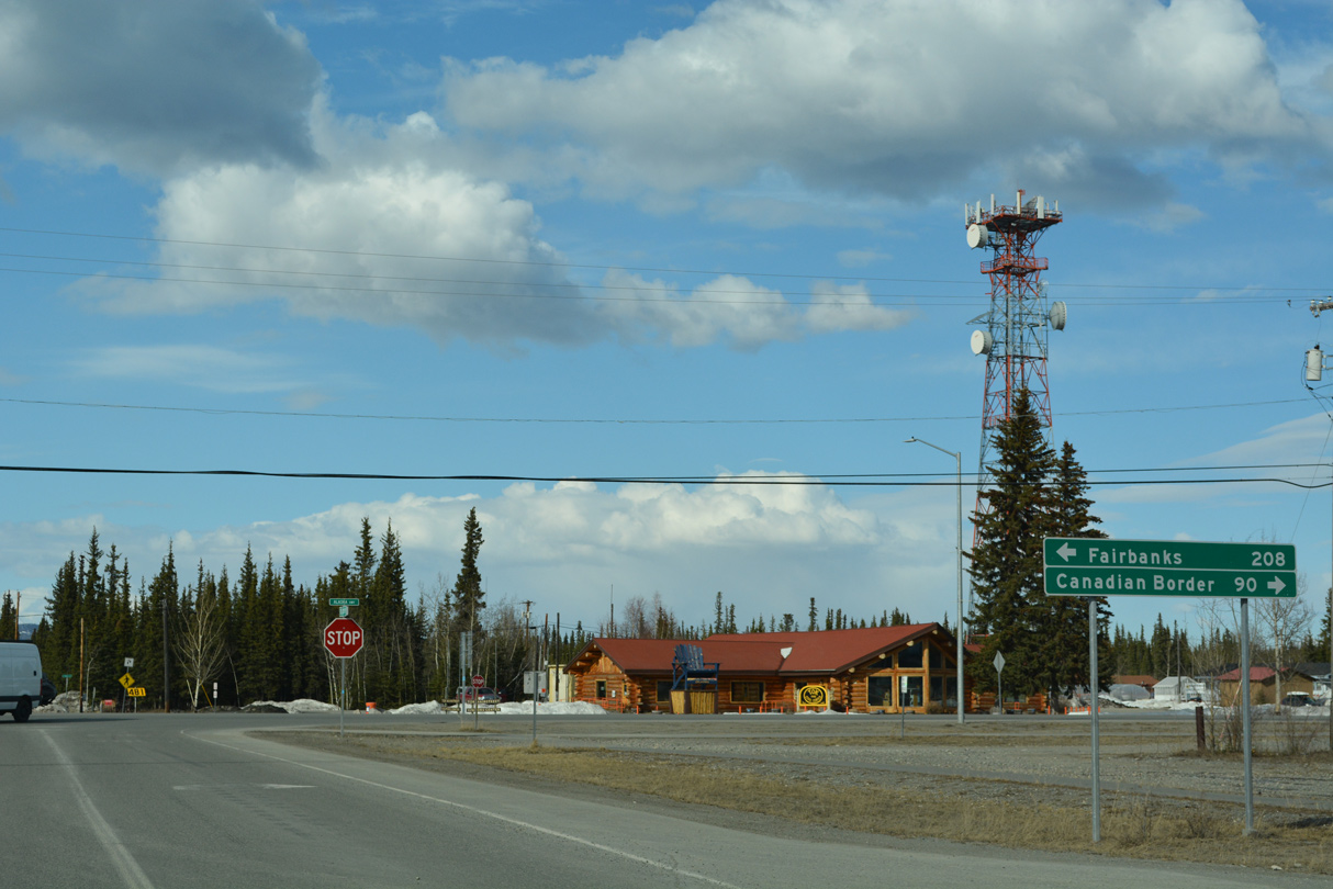
SR 2 (Alaska Highway) heads 89.7 miles southeast from SR 1 (Tok Cutoff Highway) to the Canadian border. Alaska Highway angles 107 miles northwest to SR 4 in Delta Junction, where SR 2 becomes Richardson Highway en route to Fairbanks.
05/07/23
05/07/23
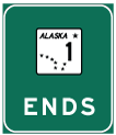
Photo Credits:
- Alex Nitzman: 05/07/23
Connect with:
Page Updated Monday June 12, 2023.