
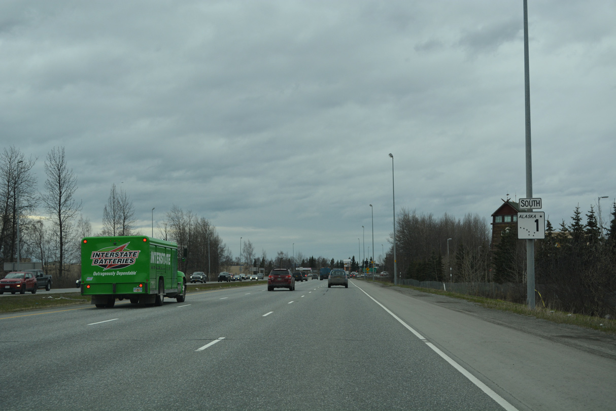
State Route 1 South - Eagle River to Anchorage
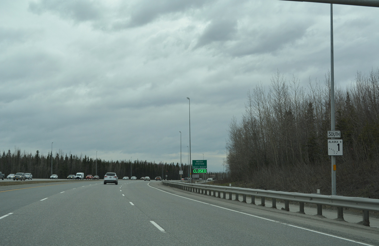
 South
South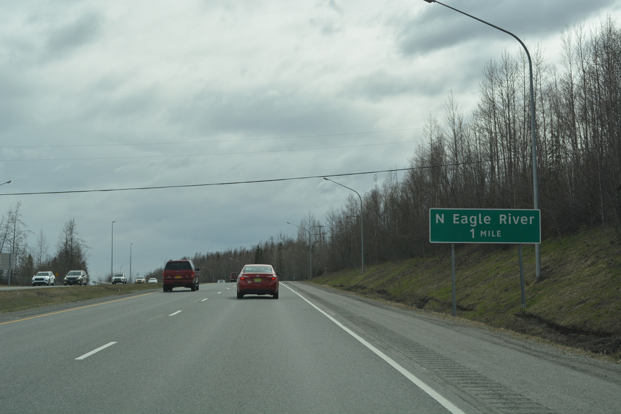
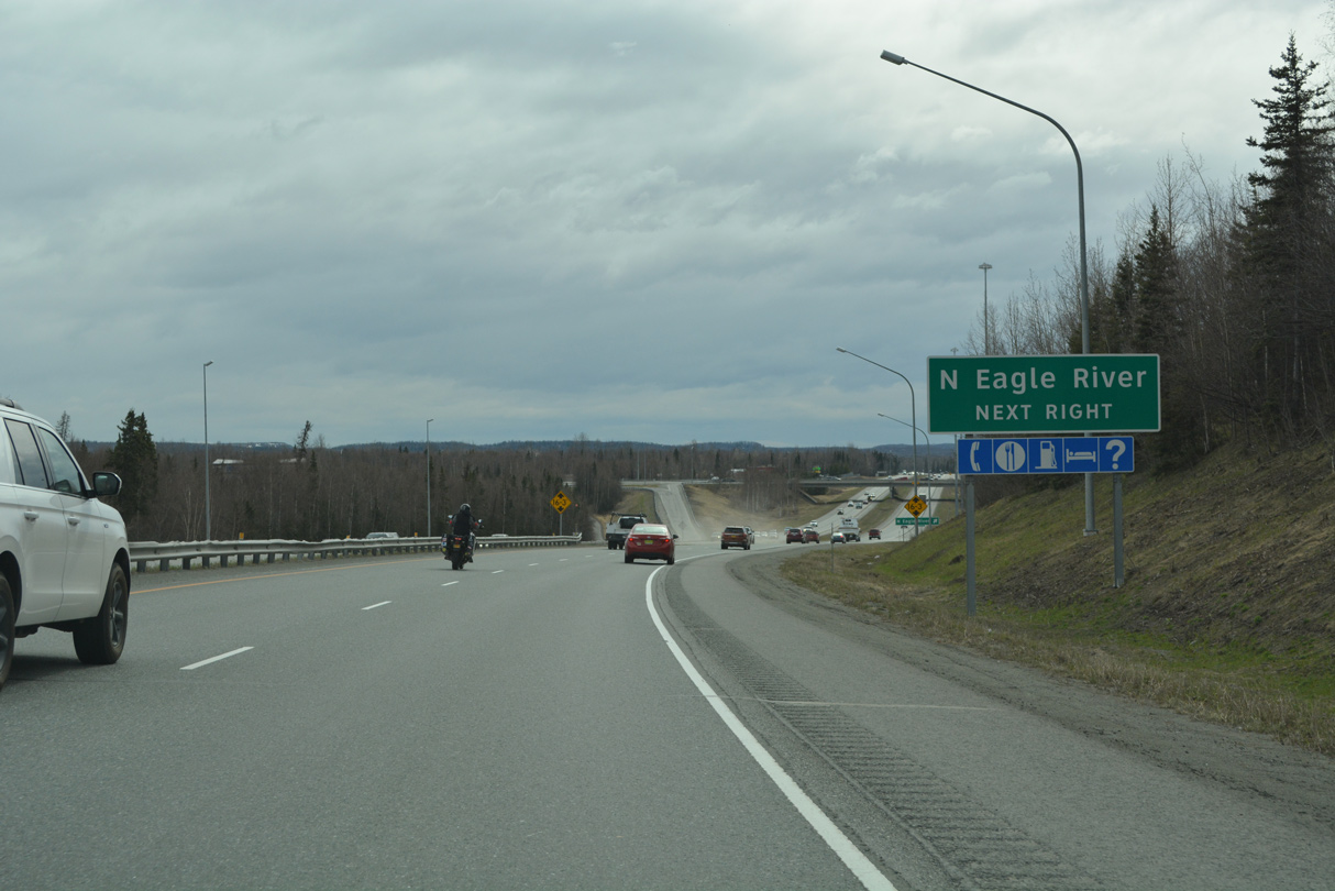
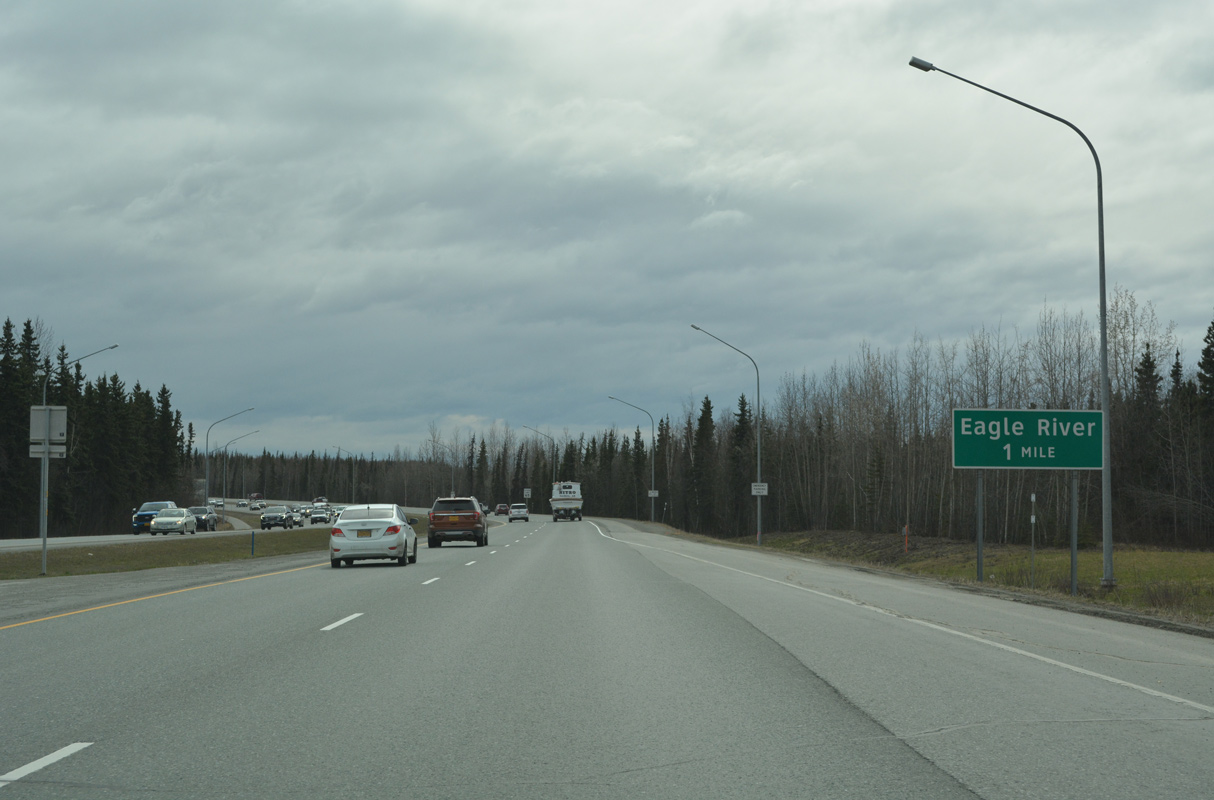
A diamond interchange next links SR 1 (Glenn Highway) south with Eagle River Access Road in north Eagle River.
05/09/23
05/09/23
05/09/23
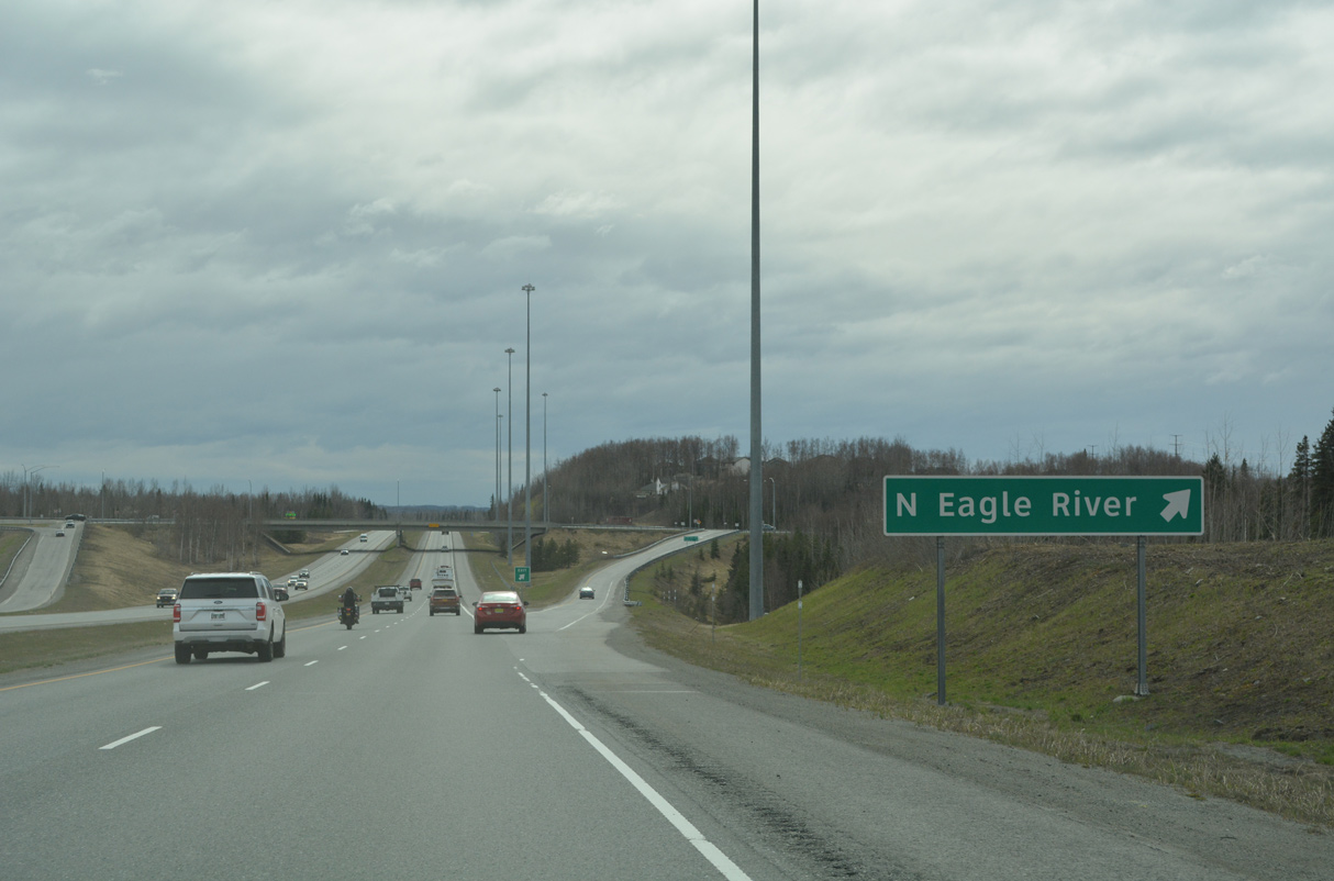
N Eagle River Access Road heads 0.27 miles east to parallel Old Glenn Highway (former SR 1).
05/09/23
05/09/23
Old Glenn Highway returns to SR 1 from Eagle River at a parclo A2 interchange in one mile.
05/09/23
05/09/23

05/09/23

Artillery Road ties into the exchange connecting SR 1 with Old Glenn Highway from the west.
05/09/23
05/09/23

Old Glenn Highway heads northeast through Eagle River 6.96 miles to Birchwood Loop Road.
05/09/23
05/09/23
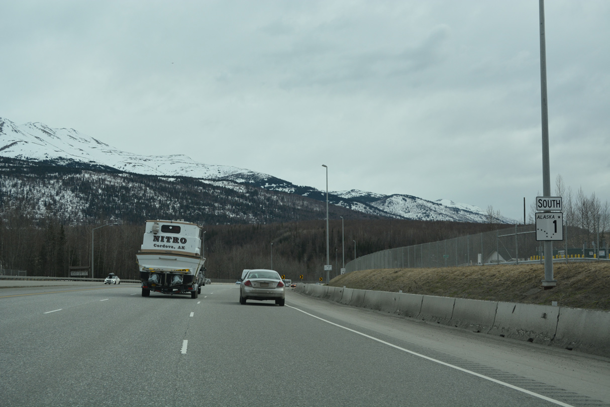
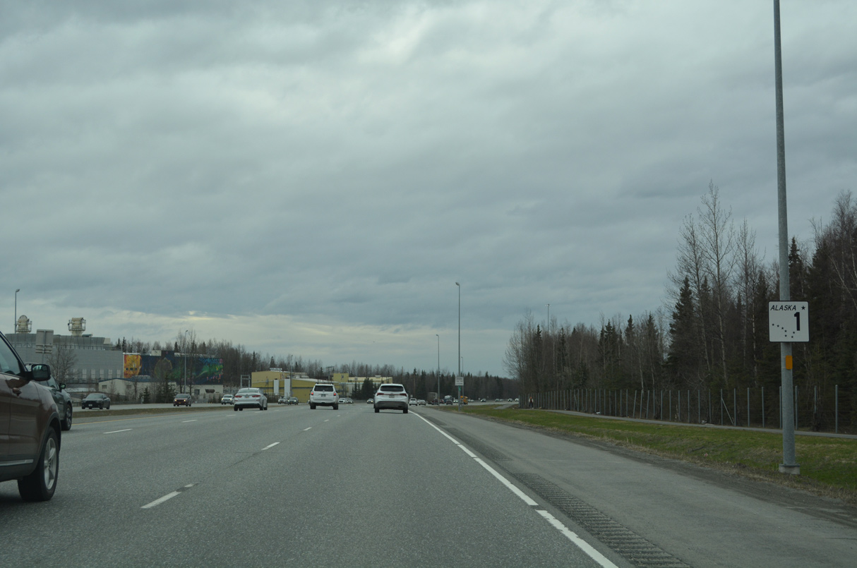
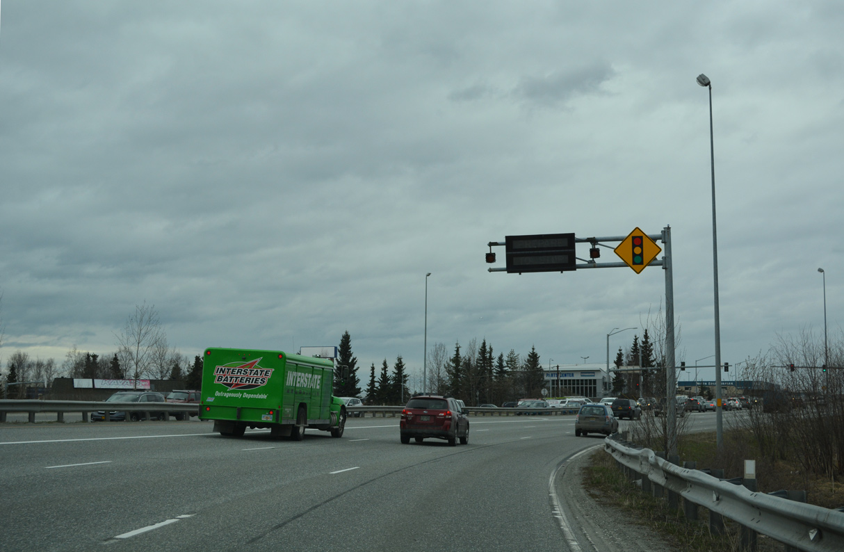
SR 1 (Glenn Highway) expands to six lanes southwest from Eagle River.
05/09/23
05/09/23
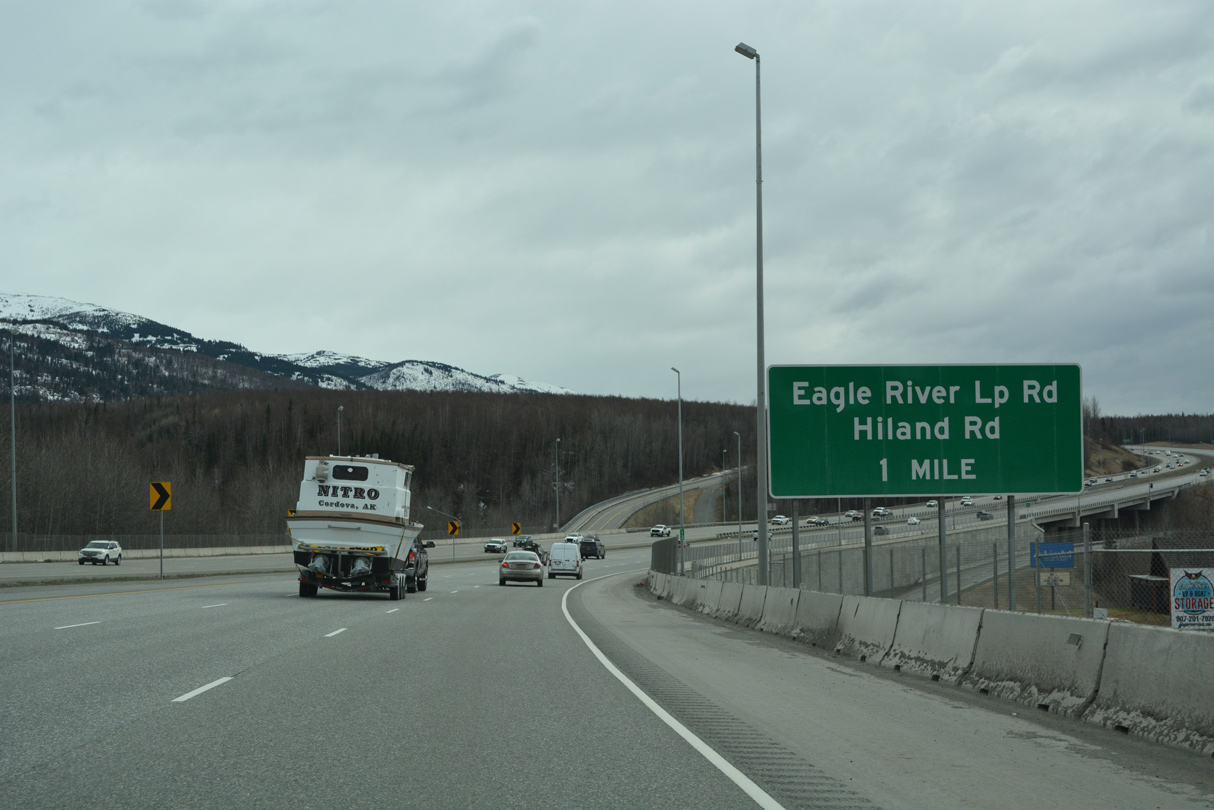
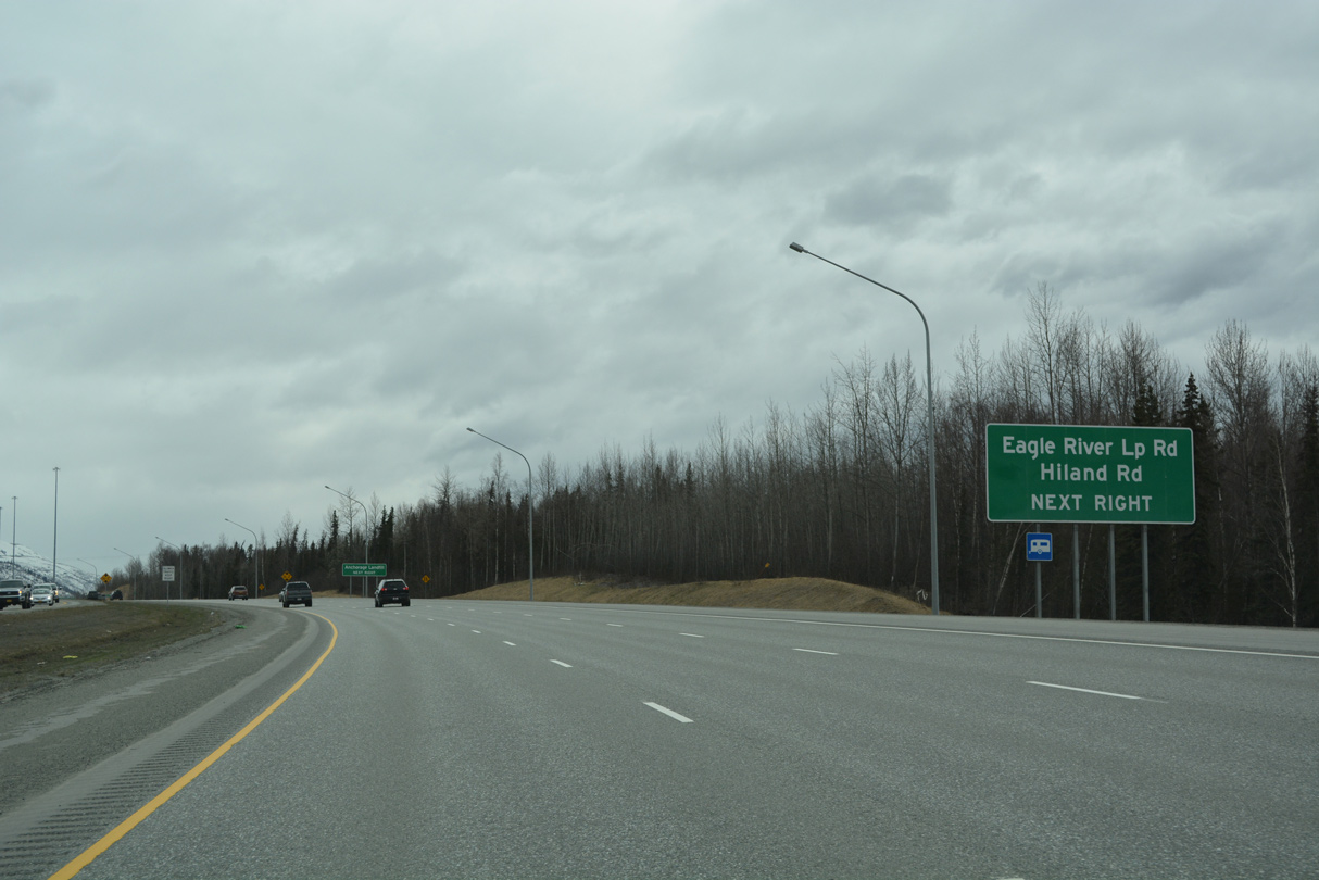
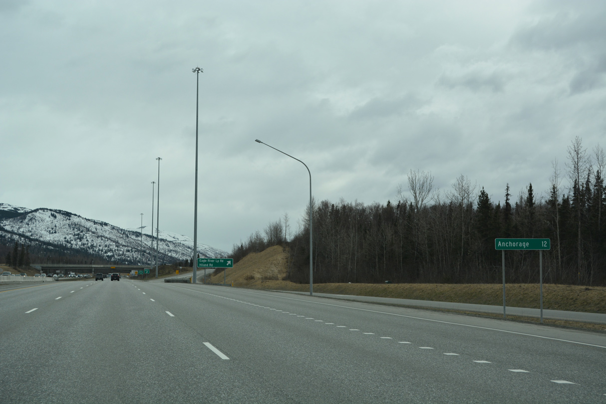
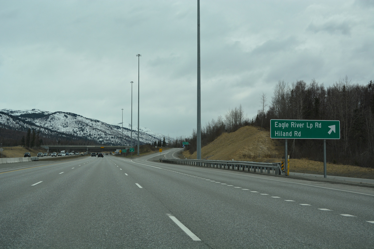
Eagle River Loop Road meets SR 1 (Glenn Highway) at a modified diamond interchange just west of Hiland Road.
05/09/23
05/09/23
The Glenn Highway Artillery to Hiland Capacity Improvements project constructed new three lane roadways and bridges for SR 1 across the Eagle River. The northbound span opened in 2015;1 the southbound opened on September 8, 2020.2
05/09/23
05/09/23
Hiland Road originally met Glenn Highway directly. Construction of Eagle River Loop Road directly replaced the westernmost extent of the road straddling the north slope of Highland Mountain.
05/09/23
05/09/23
The former roadways of Glenn Highway south to Eagle River Loop Road were repurposed as frontage roads for SR 1 during construction completed in October 2020.2</p>
05/09/23
05/09/23
Constructed at a cost of $46 million, Eagle River Loop Road fully opened to traffic on October 1, 1992. The arterial spans the Eagle River across the Eagle River Briggs Bridge, which was completed in February 1990 at a cost of $8.5 million.3
05/09/23
05/09/23
Eagle River Loop Road encircles the community of Eagle River east and north 4.64 miles to Old Glenn Highway.
05/09/23
05/09/23
05/09/23
05/09/23
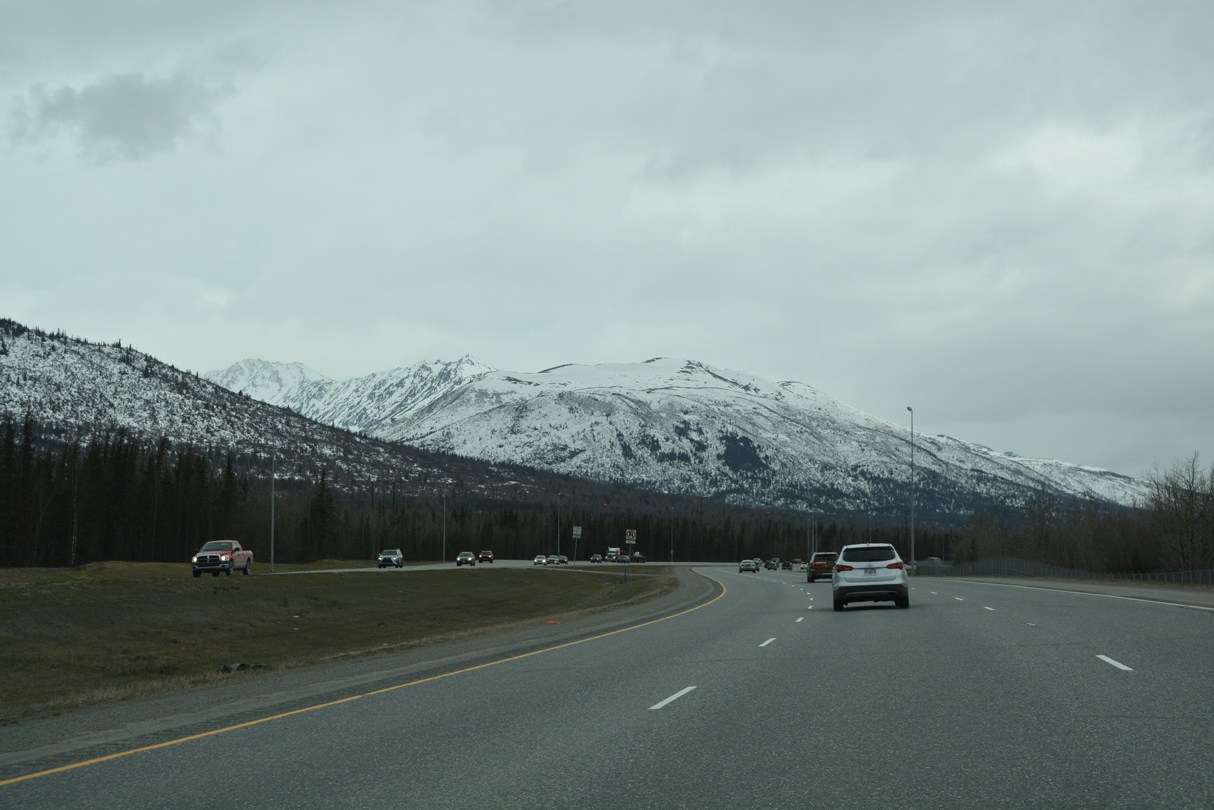
Temptation Peak rises to the south of SR 1 (Glenn Highway) within Fort Richardson.
05/09/23
05/09/23
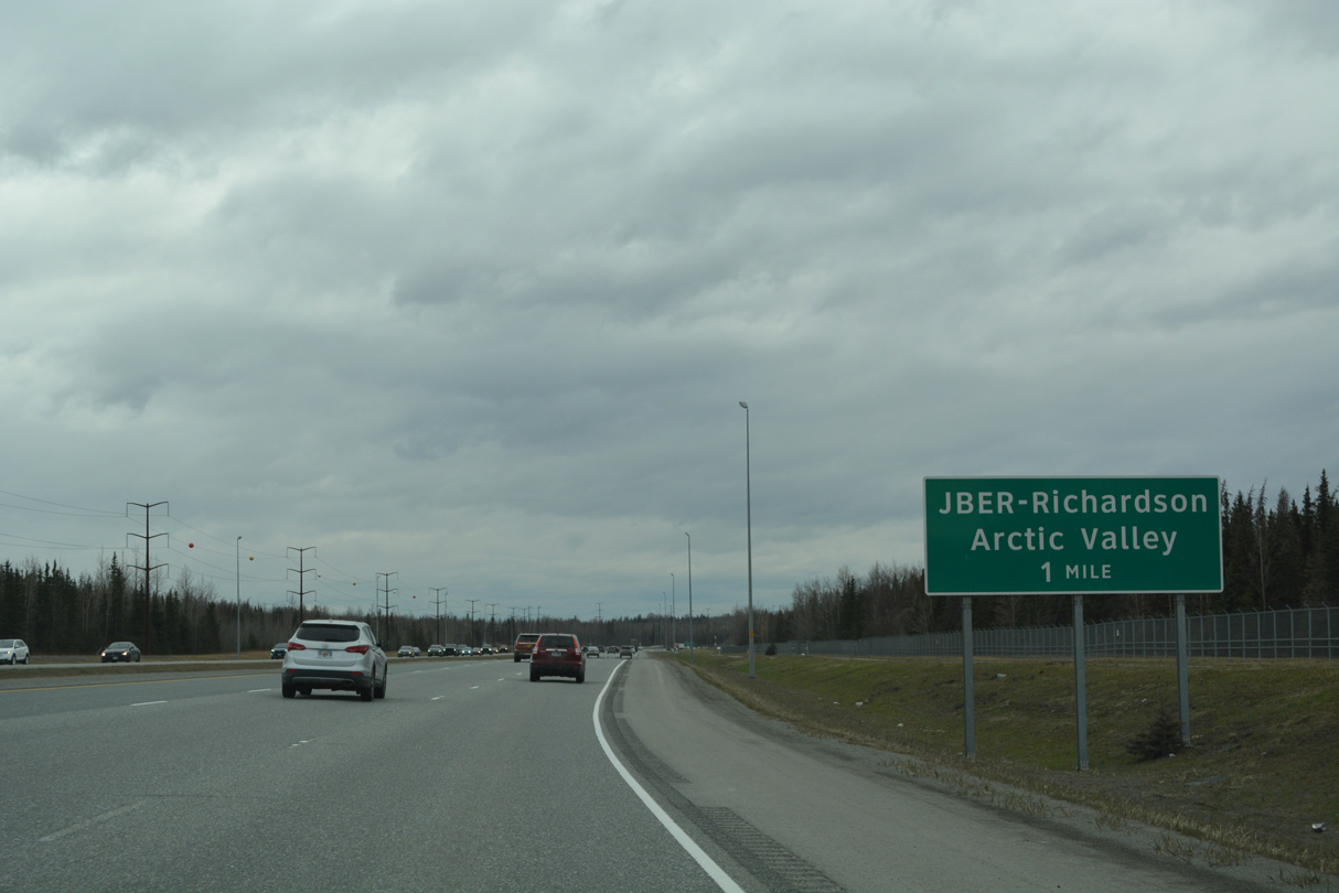
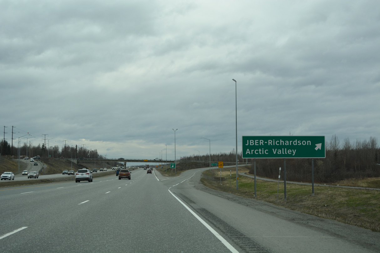
D Street arcs northwest from the diamond interchange with SR 1 (Glenn Highway) into Joint Base Elemdorf-Richardson (JBER).
05/09/23
05/09/23
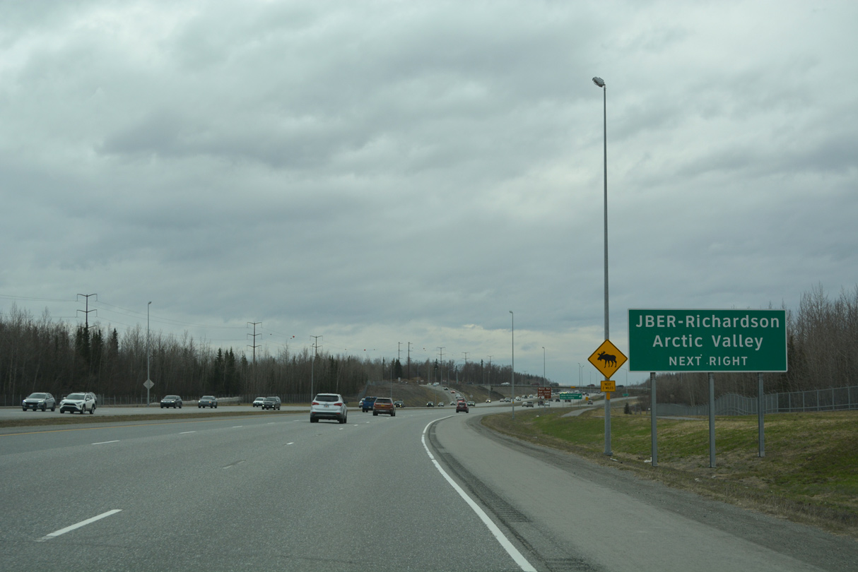
A frontage road ties into the exchange with D Street from Artic Valley to the south.
05/09/23
05/09/23
05/09/23
05/09/23
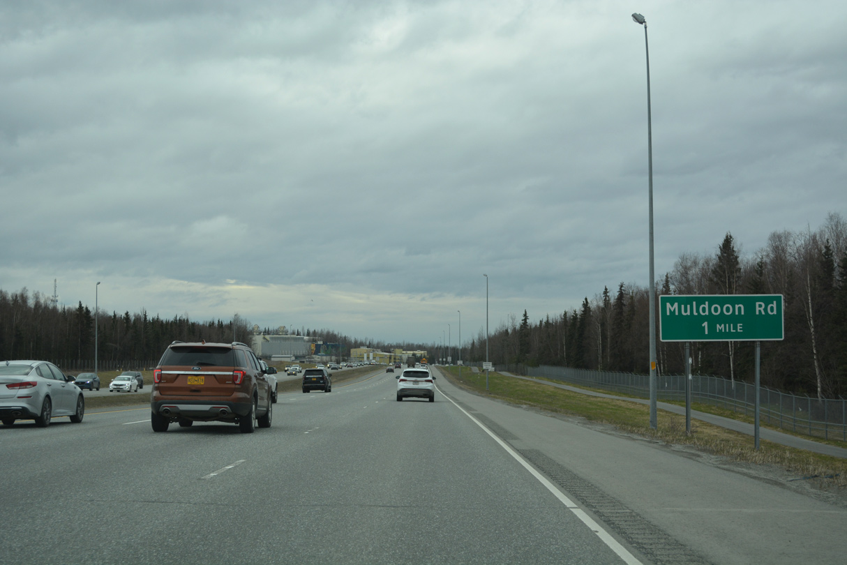
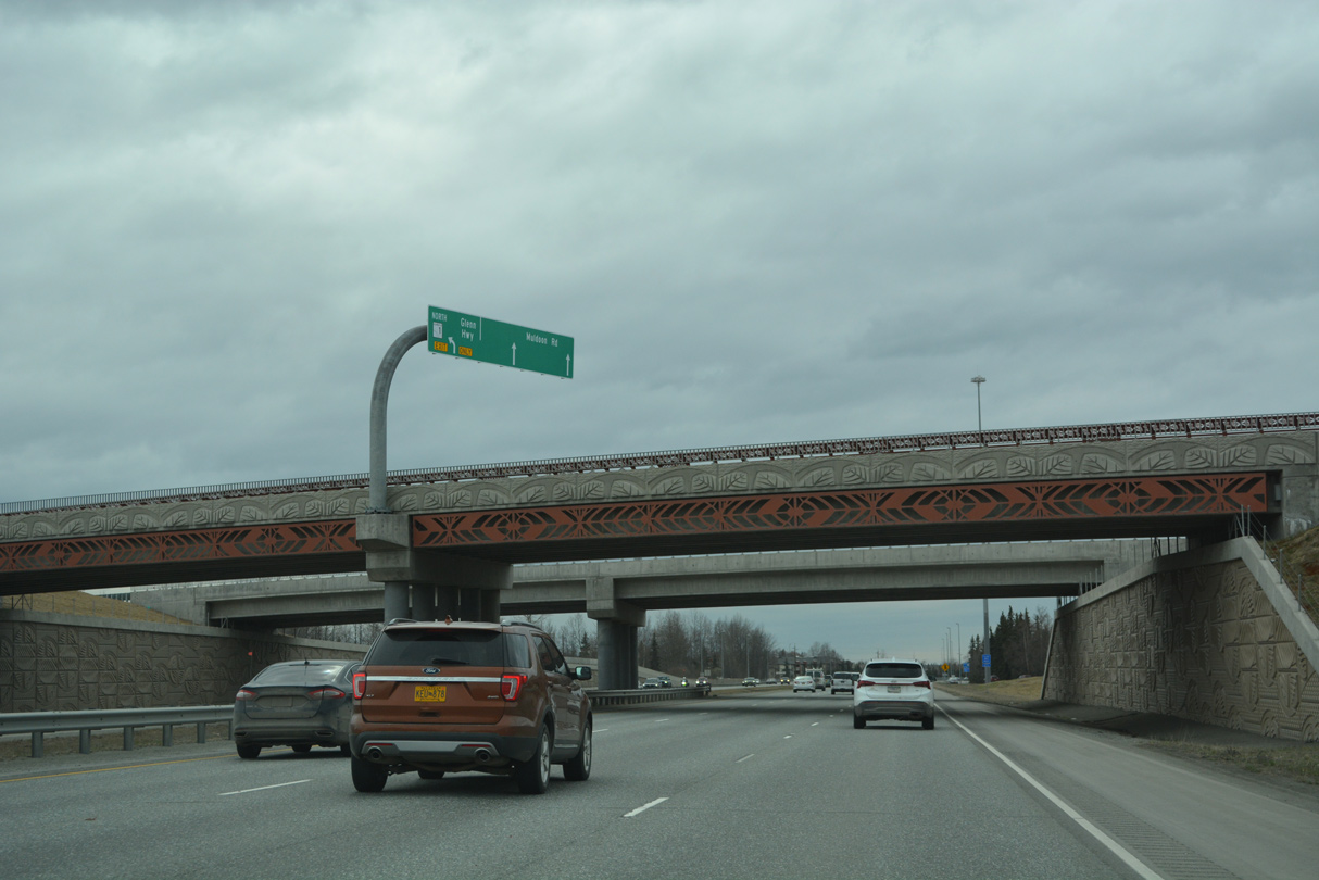
The succeeding exit along Glenn Highway southbound is for Muldoon Road by the Tikahtnu Commons retail center.
05/09/23
05/09/23
05/09/23
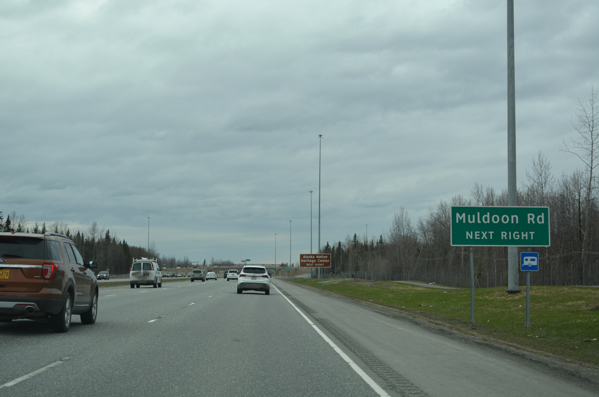
Muldoon Road arcs northwest to Tikahtnu Commons and the Provider Drive gate into JBEF-Elmendorf.
05/09/23
05/09/23
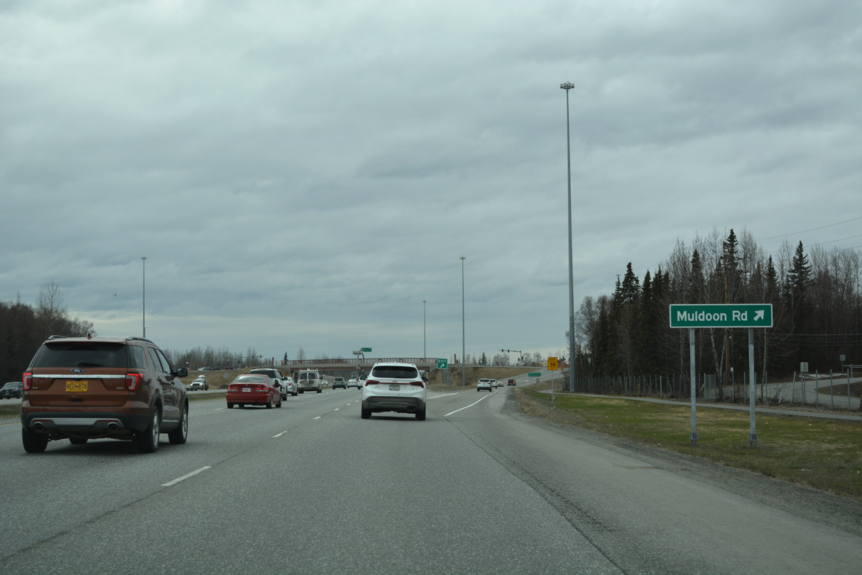
Muldoon Road constitutes a four lane arterial leading 3.41 miles south from the exchange with SR 1 onto Tudor Road west.
05/09/23
05/09/23
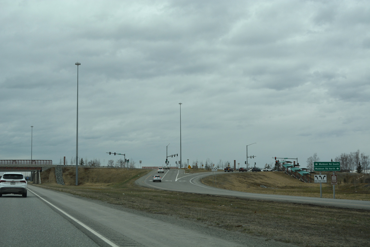
The six-ramp parclo interchange with Muldoon Road built in 19744 was reconstructed into a DDI during road work from Spring 2016 to Fall 2018.5
05/09/23
05/09/23
05/09/23
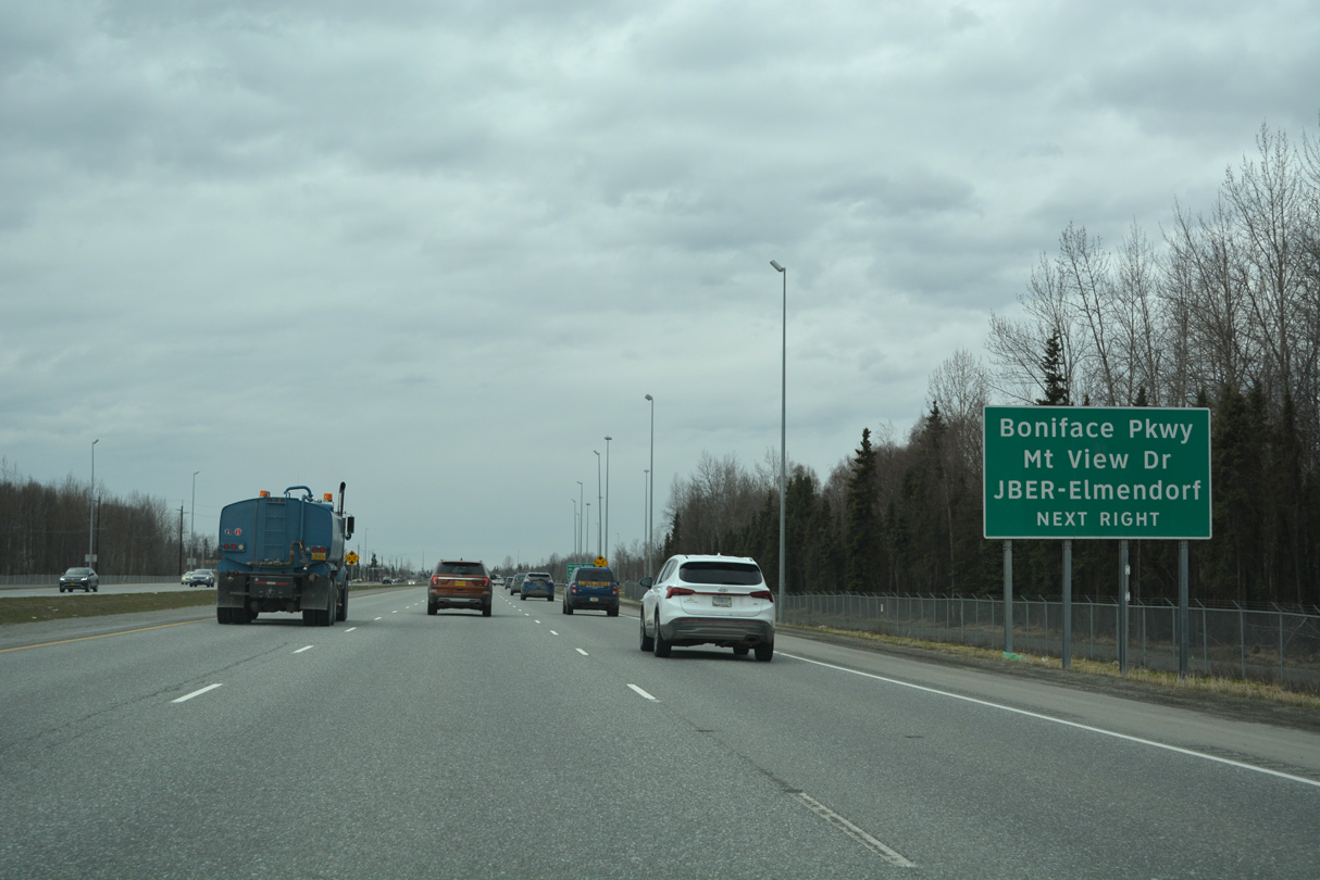
A parclo interchange joins SR 1 (Glenn Highway) south next with Boniface Parkway at Mountain View Drive west.
05/09/23
05/09/23

Boniface Parkway extends north from SR 1 and Mountain View Drive to JBEF-Elmendorf.
05/09/23
05/09/23

05/09/23
SR 1 confirming marker posted southbound at the McCarrey Street over crossing.
05/09/23
05/09/23
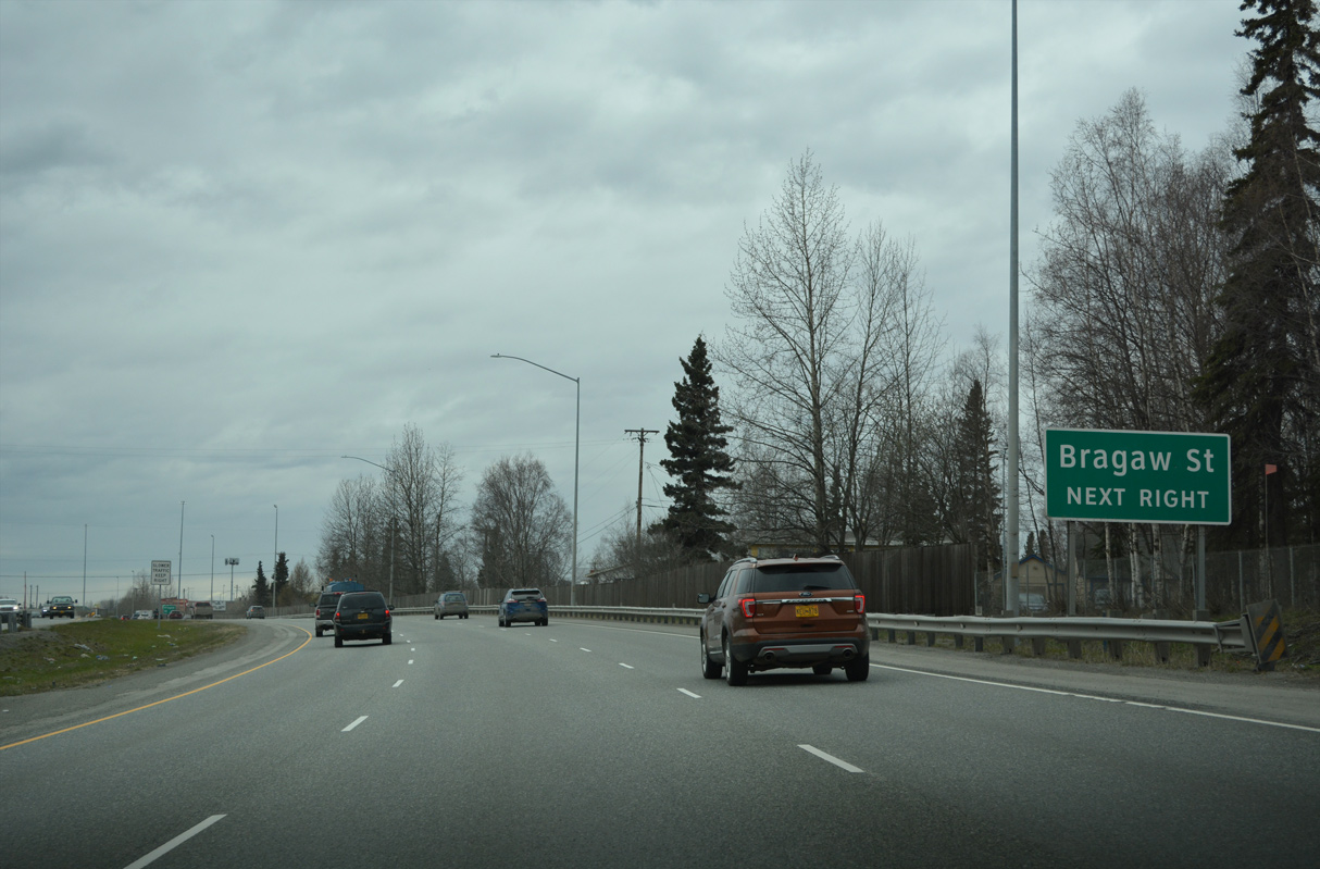
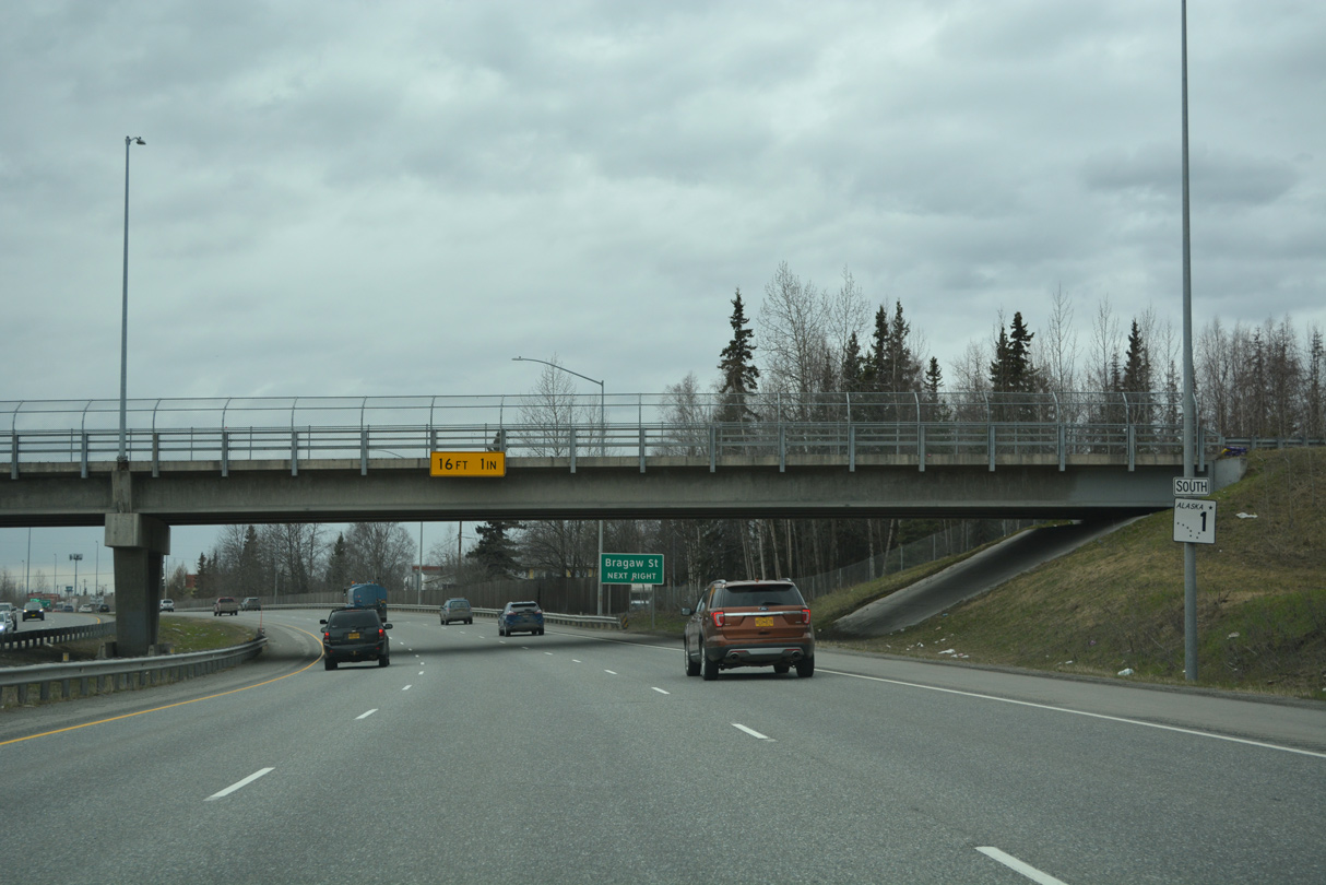
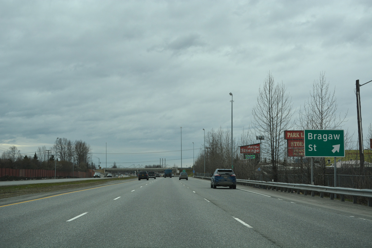
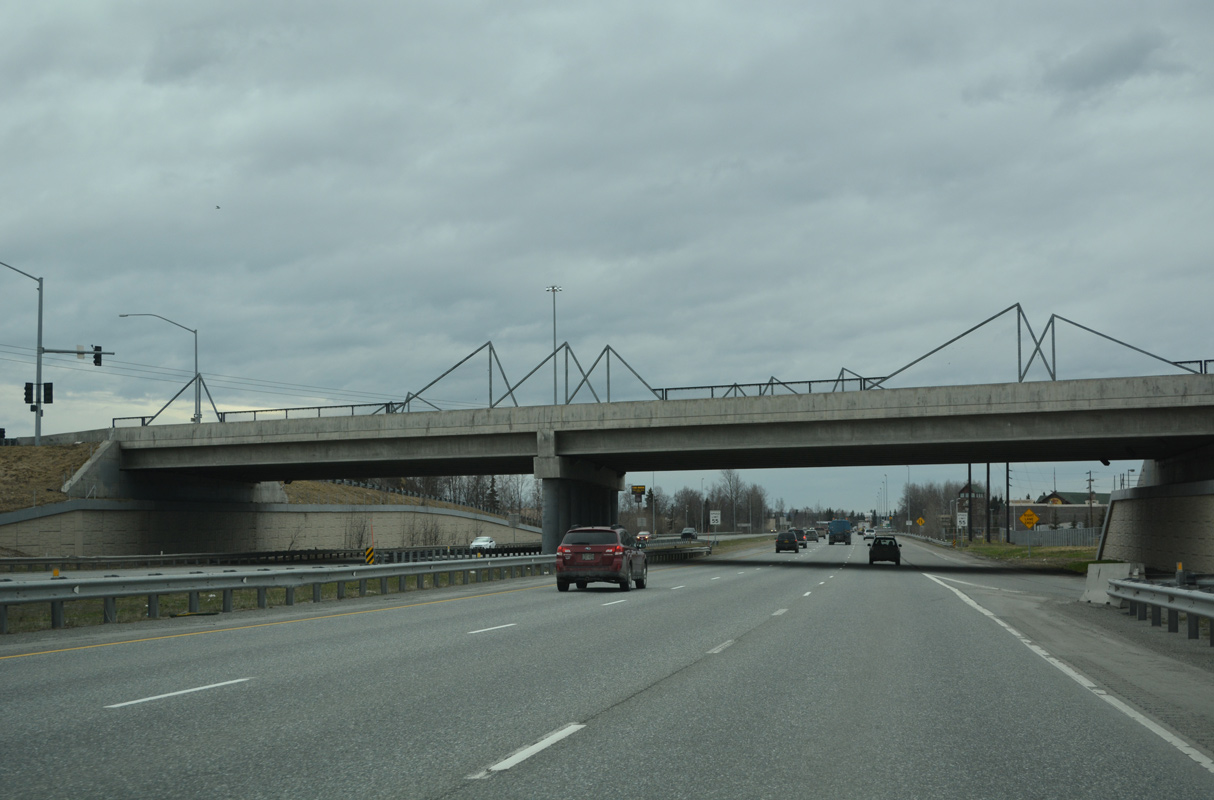
Shifting southwest, SR 1 advances 0.75 miles to a parclo interchange with Bragaw Street.
05/09/23
05/09/23
05/09/23
The Bragaw Street overpass along SR 1 (Glenn Highway) is the Insook Baik Bridge.
05/09/23
05/09/23
05/09/23
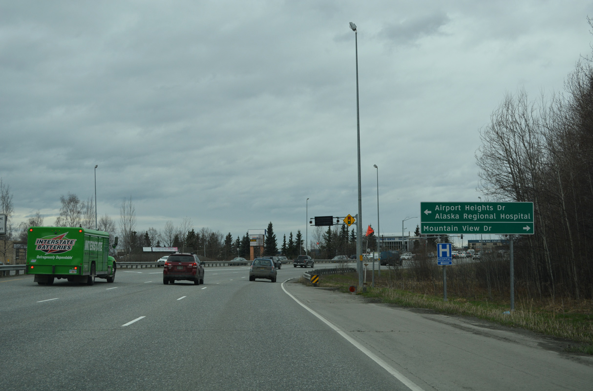
SR 1 (Glenn Highway) south next intersects Mountain View Drive north and Airport Heights Drive south by Merrill Field (MRI) airport.
05/09/23
05/09/23
The freeway along SR 1 and Glenn Highway south conclude at the signalized intersection with Mountain View Drive north and Airport Heights Drive south.
05/09/23
05/09/23
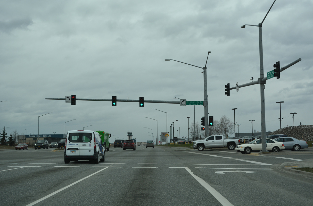
Mountain View Drive angles northeast to Commercial Drive and parallels SR 1 1.88 miles back to the exchange with Boniface Parkway. Airport Heights Drive is a minor arterial leading south 0.56 miles to DeBarr Road.
05/09/23
05/09/23
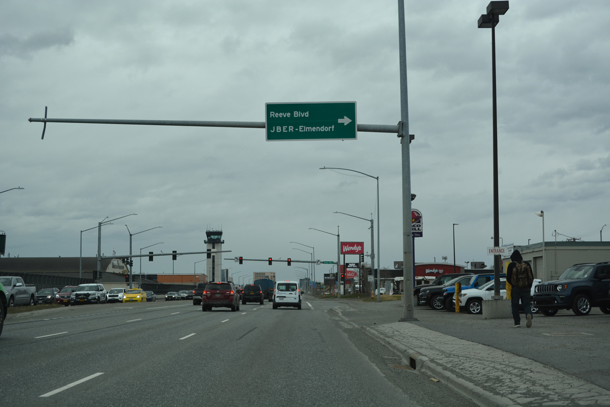
Reeve Boulevard stems 0.96 miles north from SR 1 (5th Avenue) to Post Road west of the Post Road Gate into JBER-Elmendorf.
05/09/23
05/09/23
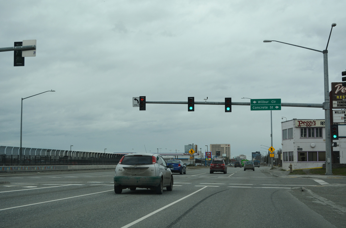
SR 1 (5th Avenue) intersects Concrete Street north to E 3rd Avenue and Wilbur Circle south by Merrill Field (MRI) airport.
05/09/23
05/09/23
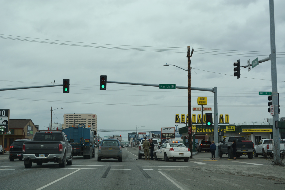
SR 1 separates into a couplet along 5th Avenue west and 6th Avenue east ahead of Karluk Street.
05/09/23
05/09/23
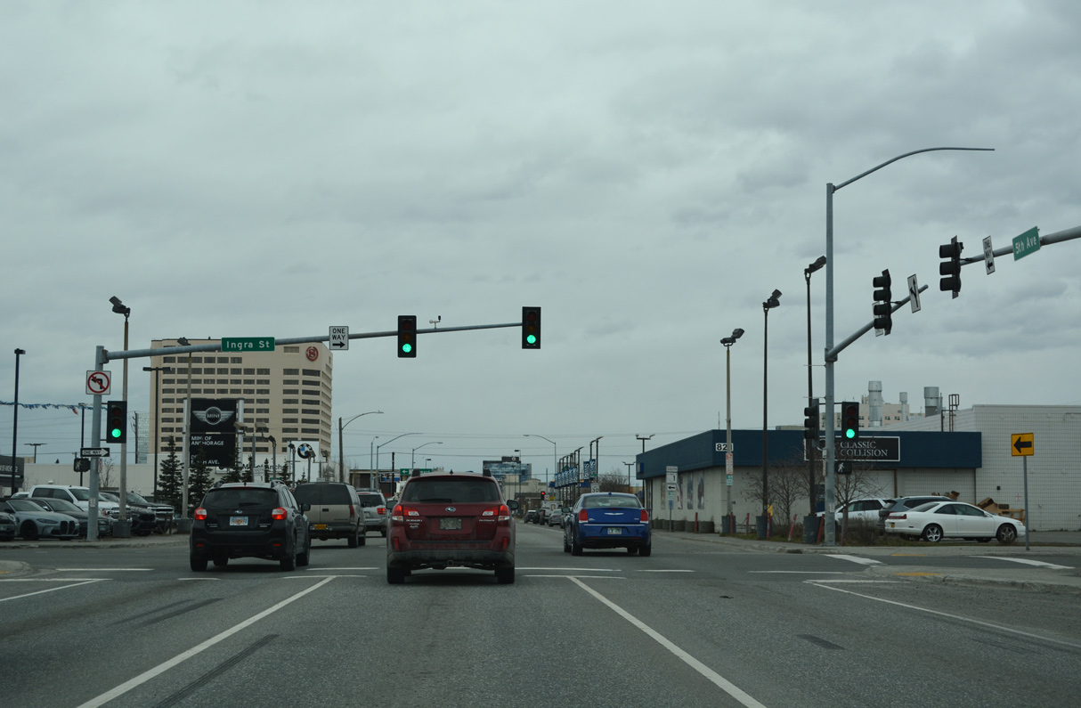
Ingra Street north forms a couplet with Gambell Street south for SR 1 between 5th Avenue and Chester Creek at E 20th Avenue.
05/09/23
05/09/23
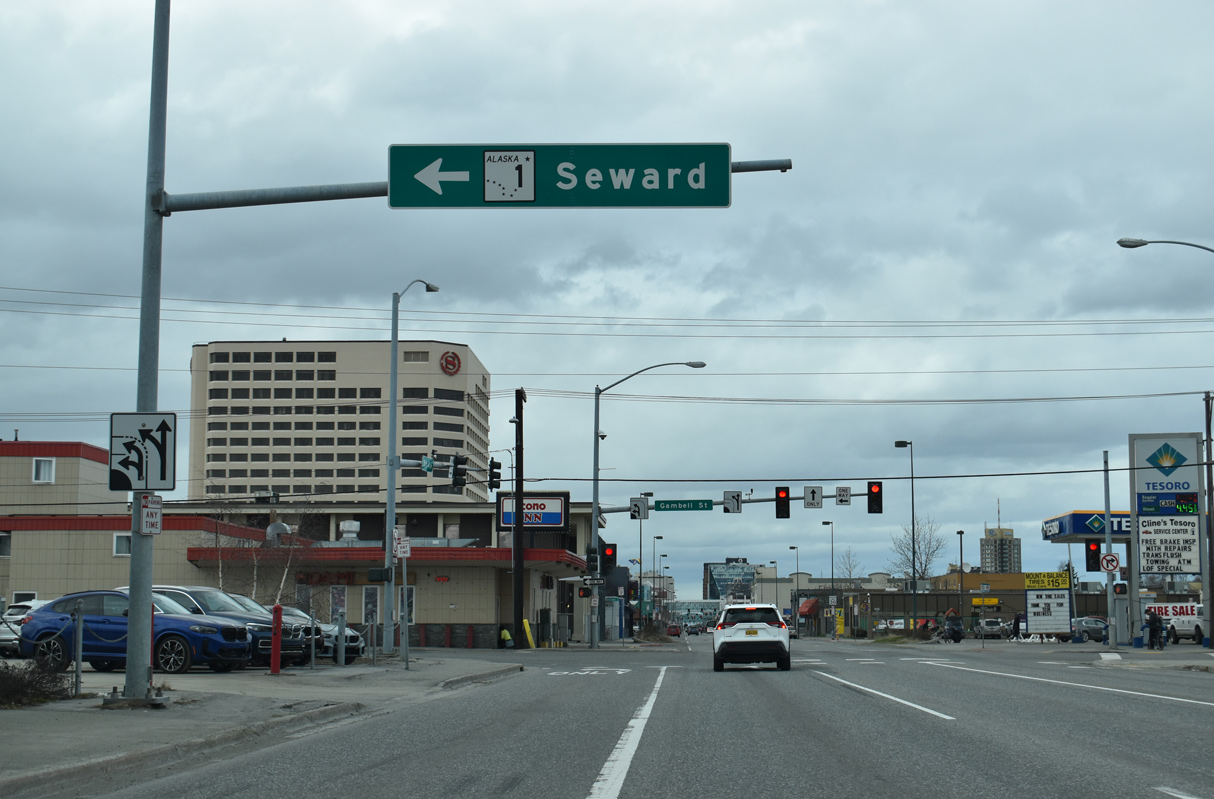
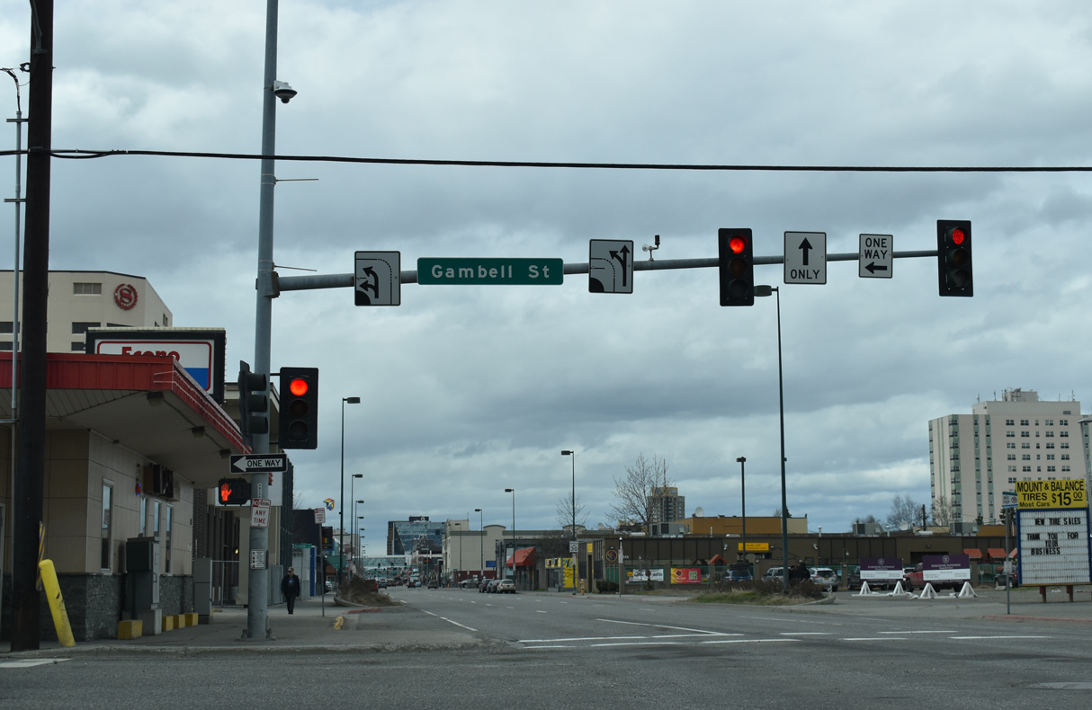
Trailblazers for SR 1 south precede Hyder Street on 5th Avenue westbound. Unsigned I-A1 concludes at the forthcoming intersection with Gambell Street, where SR 1 turns south to Seward Highway.
07/31/23
07/31/23
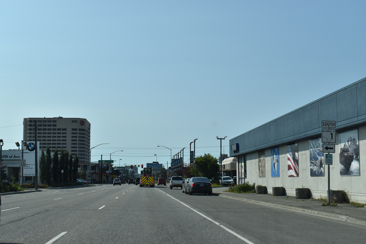
SR 1 south along Gambell Street and Seward Highway is part of unsigned Interstate A3 joining Anchorage with Soldotna on the Kenai Peninsula.
05/10/23
05/10/23
5th Avenue continues another 1.09 miles west from Gambell Street to L Street on the west side of Downtown Anchorage.
05/10/23
05/10/23
References:
- "Work begins on second phase of Glenn Highway bridge project in Eagle River." Anchorage Daily News (AK), August 7, 2019.
- "Glenn Highway Southbound Eagle River Bridge Opens to Traffic Ahead of Schedule." Alaska Department of Transportation and Public Facilities, press release. September 8, 2020.
- "Eagle River 10 Minutes Closer Now - Bridge Opens Thursday." em>Anchorage Daily News (AK), September 30, 1992.
- Glenn Muldoon DDI Project Summary February 24-25, 2015. https://dot.alaska.gov/ nreg/projects/SPREE_2015/Presentations/ Glenn_Muldoon_DDI.pdf Alaska Department of Transportation and Public Facilities.
- Glenn/Muldoon Interchange. DOWL Professional Services Firm.
Photo Credits:
- Alex Nitzman: 05/09/23, 05/10/23
- Brent Ivy: 07/31/23
Page Updated Thursday June 08, 2023.