
State Route 1 South - Cooper Landing to Soldotna
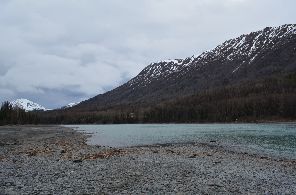
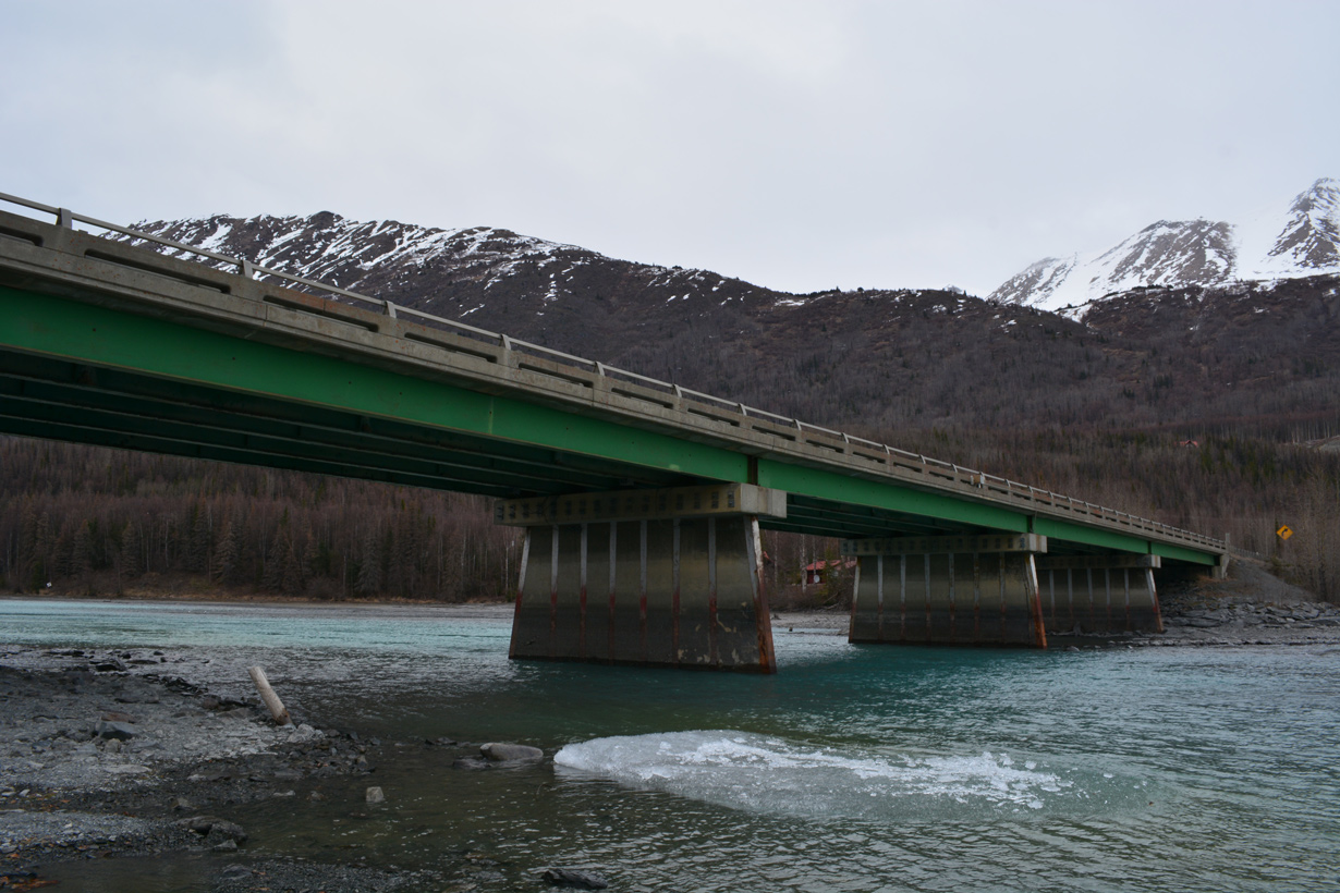
Round Mountain appears to the west and Slaughter Ridge to the north from the Kenai Riverside at Cooper Landing, Alaska. SR 1 (Sterling Highway) crosses the Kenai River adjacent to Kenai Lake over a bridge built in 1965. 05/09/23
 South
South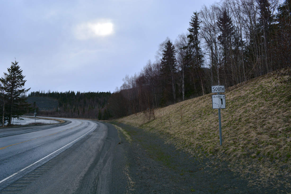
Sterling Highway stems west a wye intersection with Seward Highway adjacent to Tern Lake.
05/09/23
05/09/23
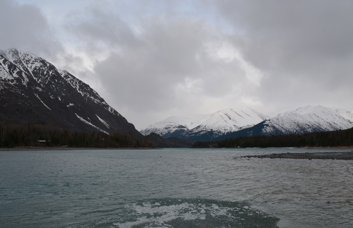
Tern Lake lies south between SR 1/SR 9 (Seward Highway) and Wrong Mountain.
05/09/23
05/09/23

05/09/23
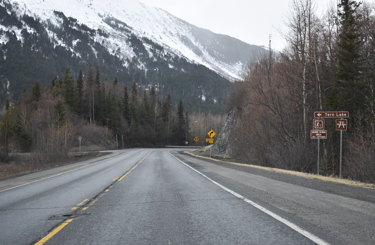
The ramp taking SR 1 south from Seward Highway combines with Sterling Highway west from SR 9 just beyond Tern Lake.
05/09/23
05/09/23
05/09/23
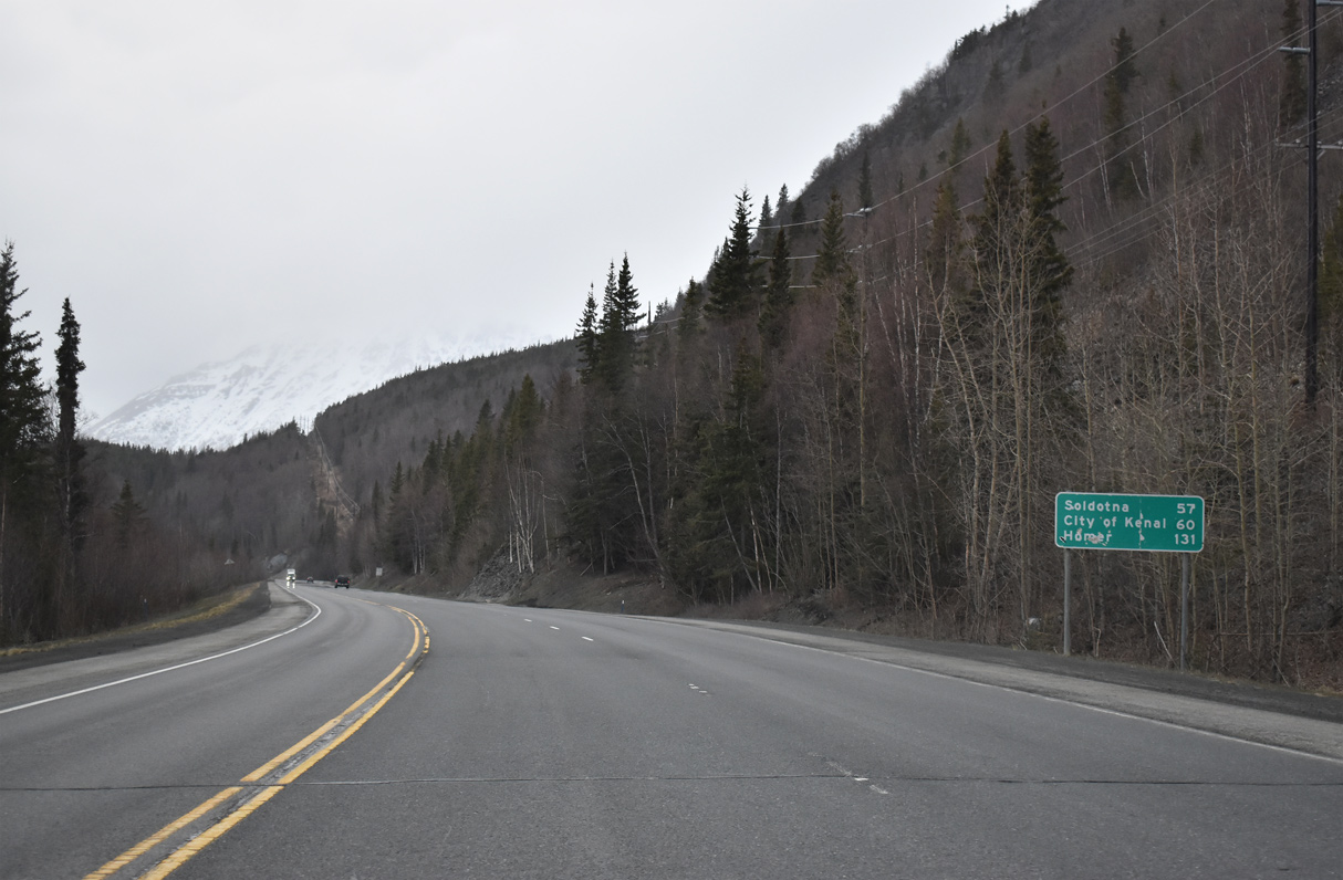
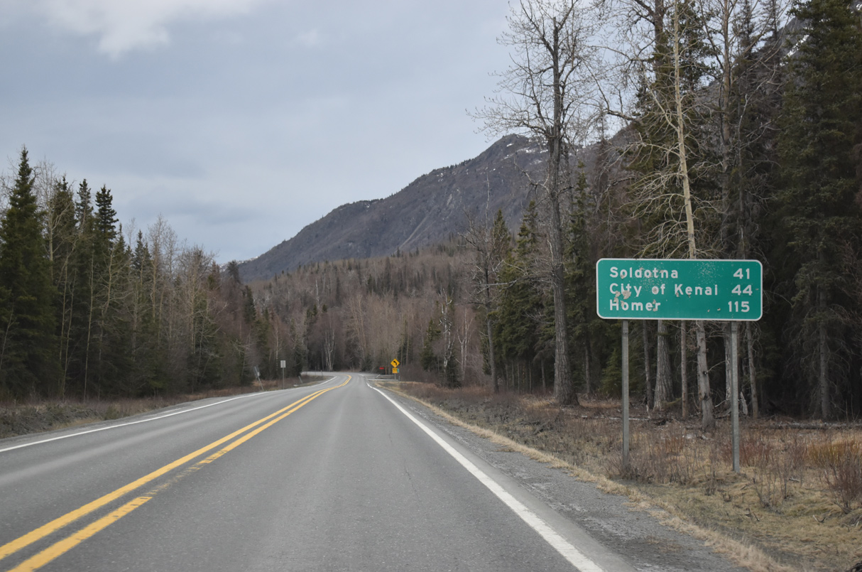
The city of Homer lies 131 miles to the south along Kachemak Bay.
05/09/23
05/09/23
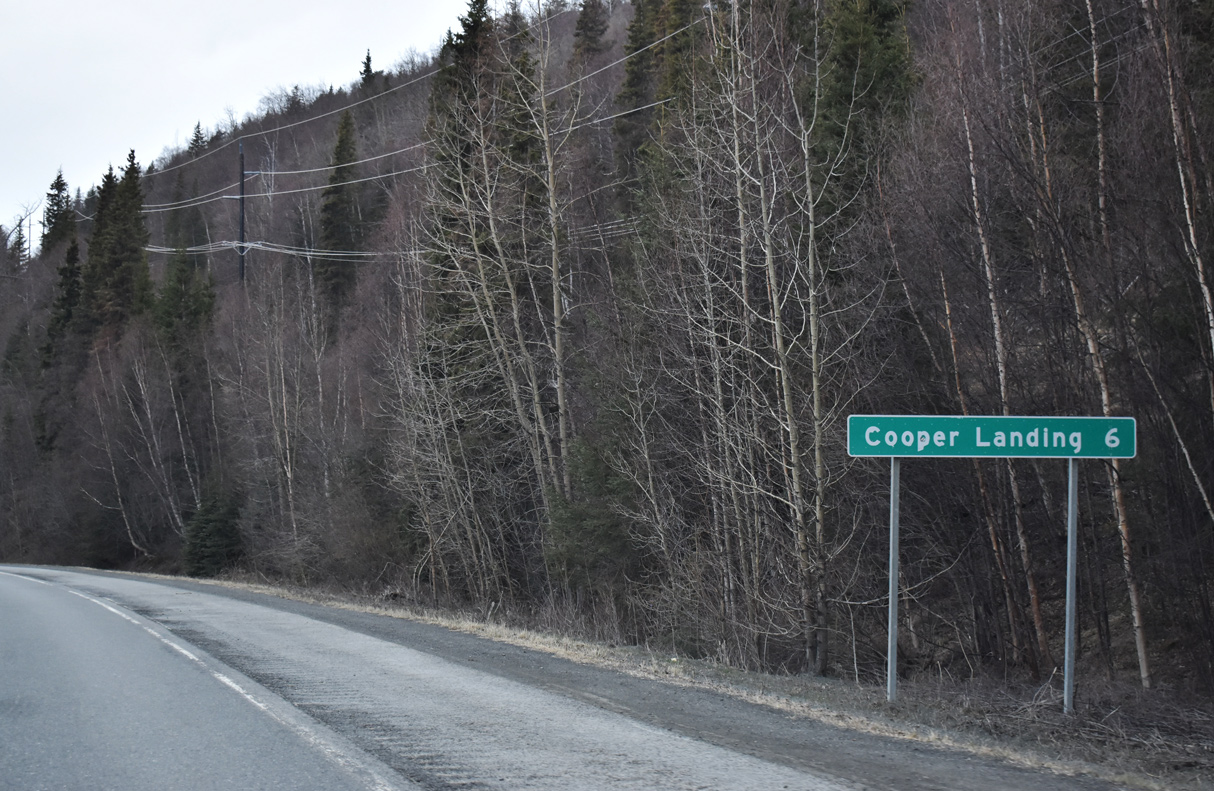
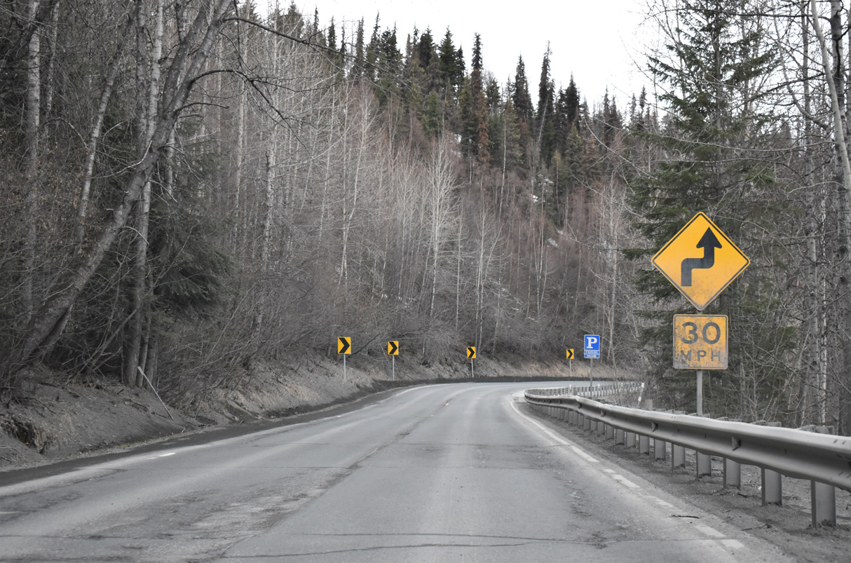
Sterling Highway heads six miles southwest to the community of Cooper Landing.
05/09/23
05/09/23
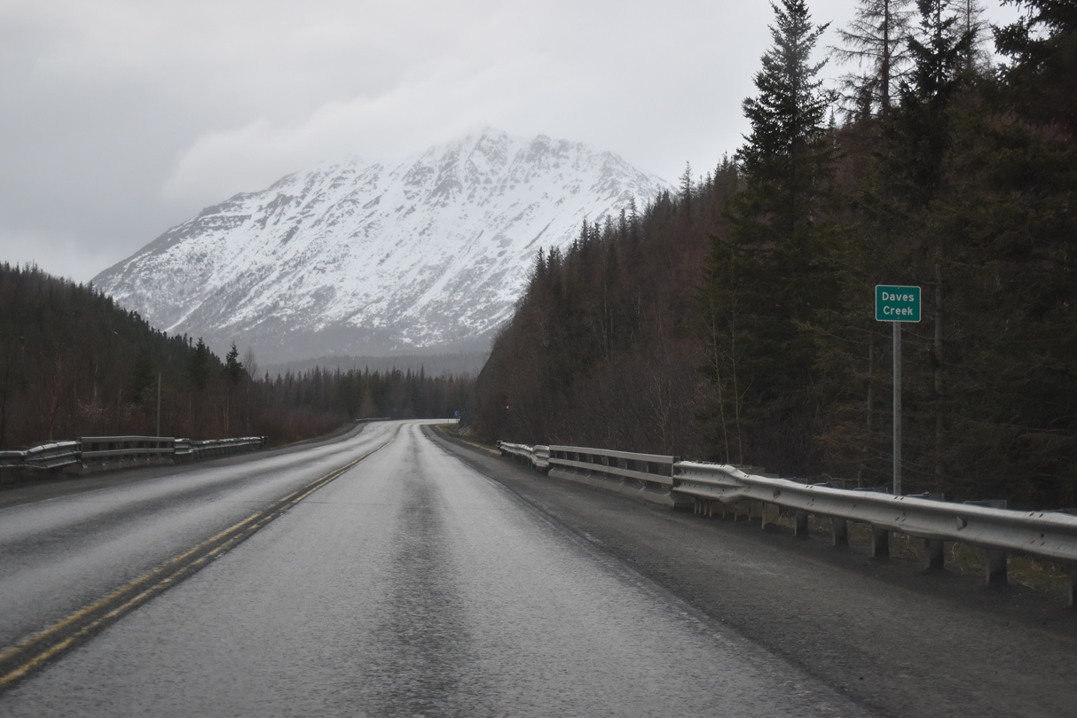
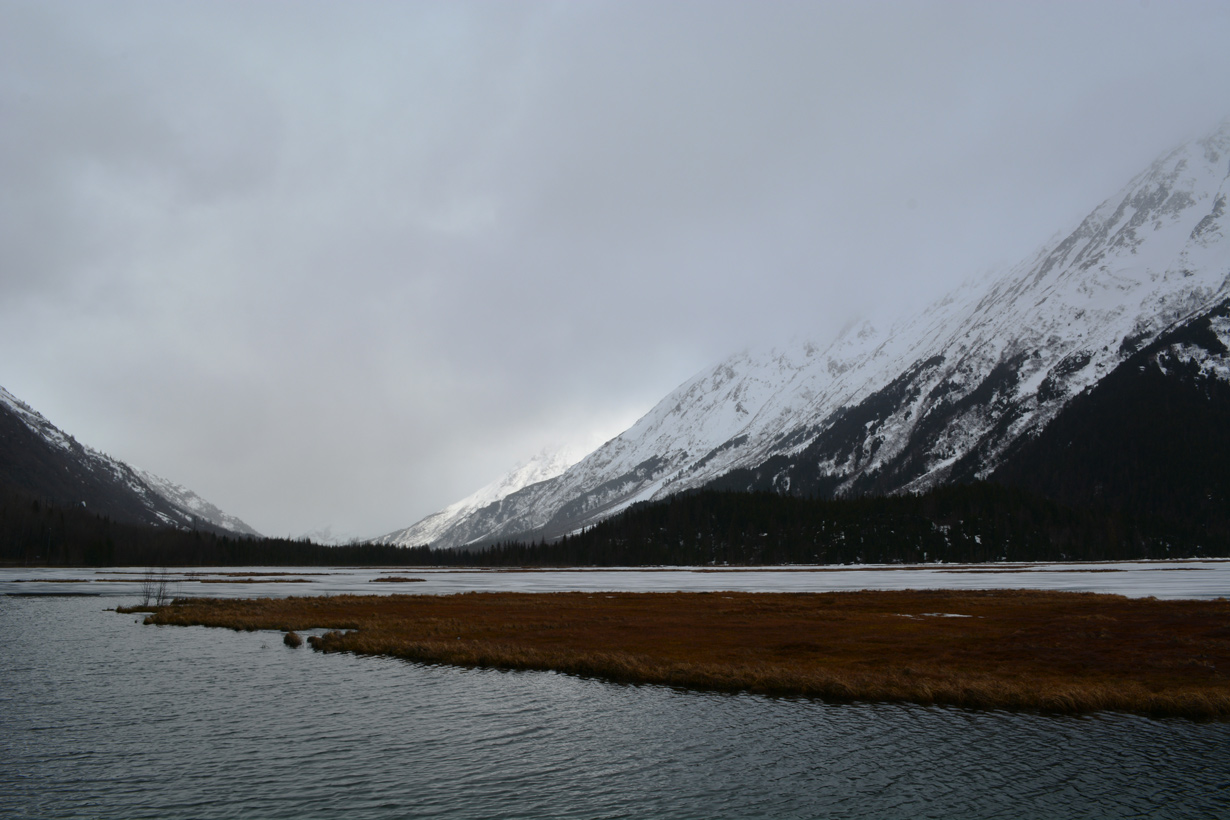
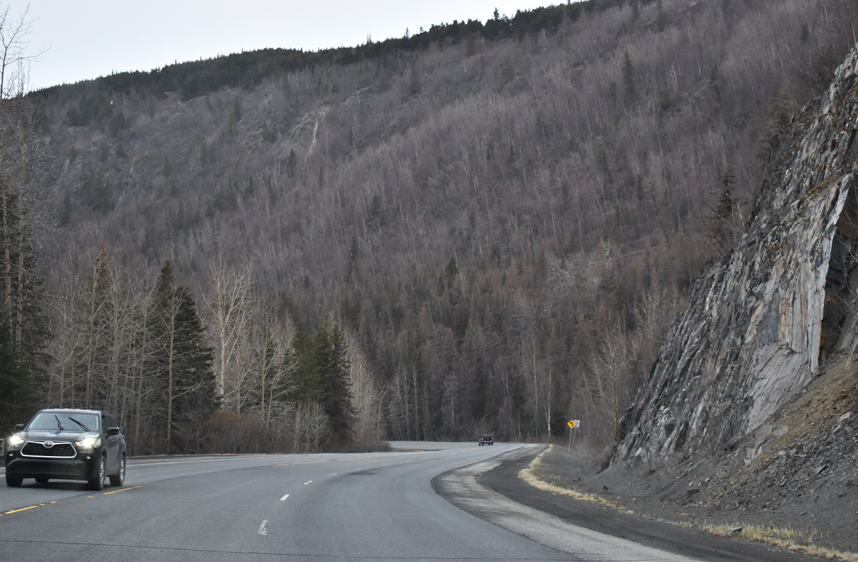
Daves Creek parallels SR 1 (Sterling Highway) west from Tern Lake to Quartz Creek.
05/09/23
05/09/23
05/09/23
05/09/23
05/09/23

Cecil Rhode Mountain
05/09/23
05/09/23
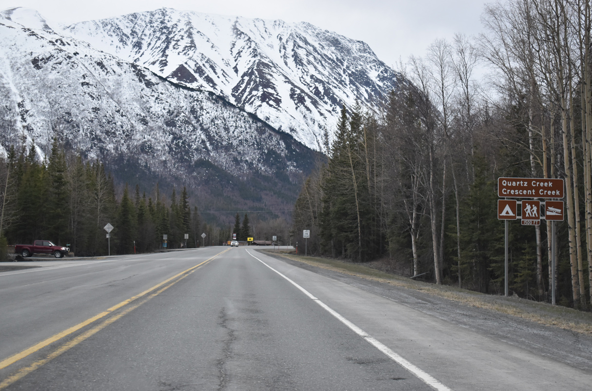
Quartz Creek Road spurs south to Quartz Creek Airport (JLA) and Quartz Creek Campground along Kenai Lake.
05/09/23
05/09/23
05/09/23
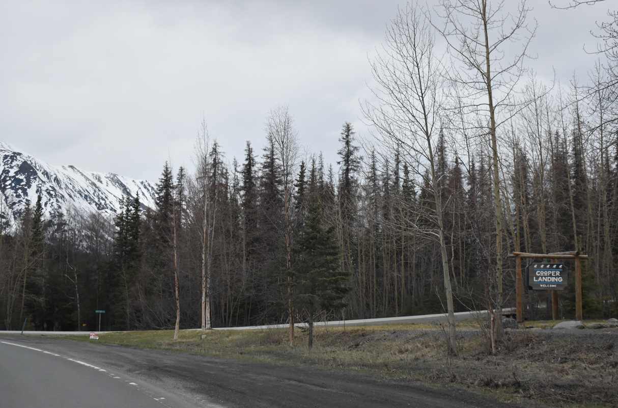
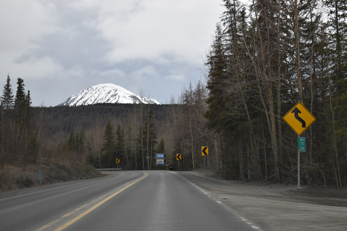
Bean Creek Road branches 2.30 miles west from Sterling Highway at the community of Cooper Landing.
05/09/23
05/09/23
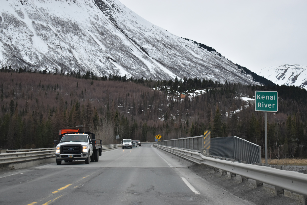
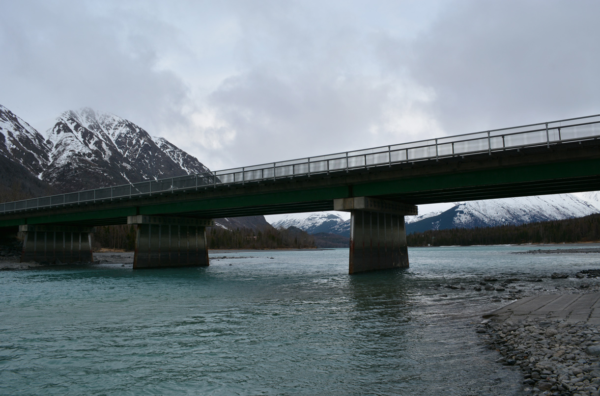
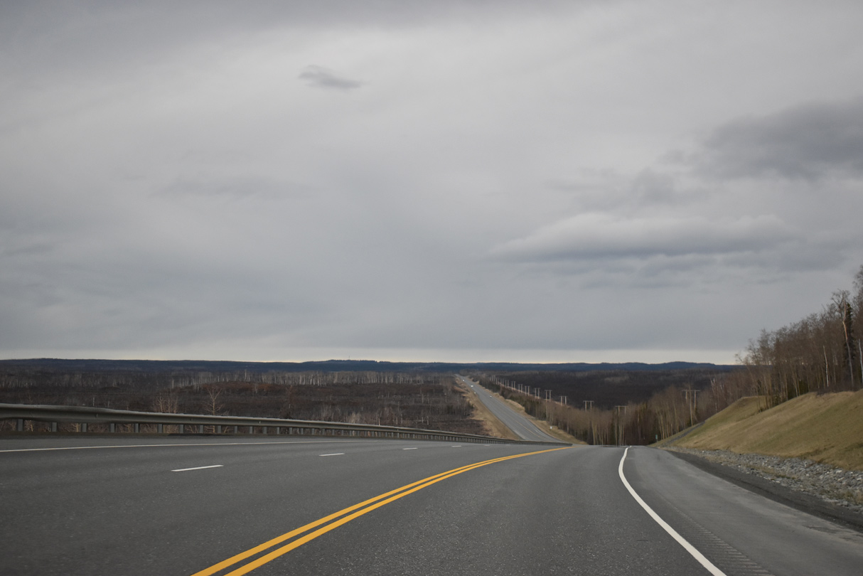
SR 1 shifts south across the Kenai River at the west end of Kenai Lake.
05/09/23
05/09/23
05/09/23
05/09/23
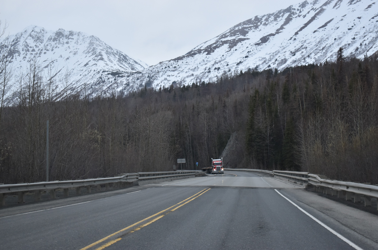
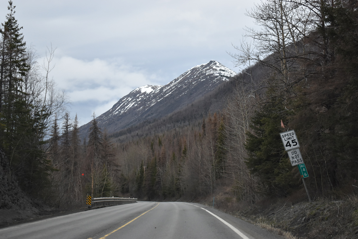
SR 1 straddles the south banks of the Kenai River northwest of Cecil Rhode Mountain.
05/09/23
05/09/23
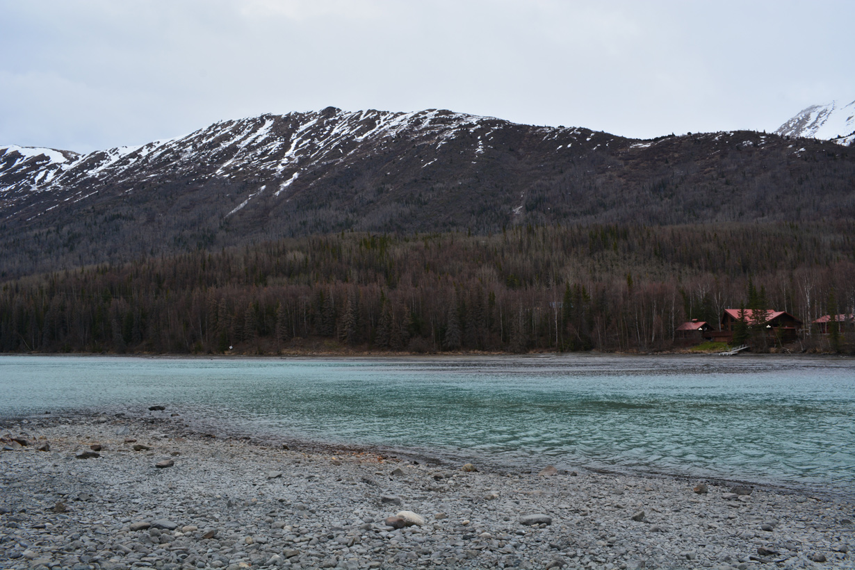
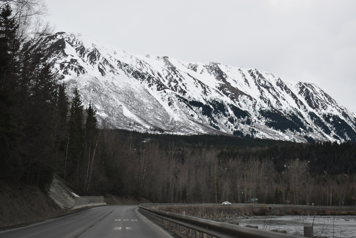
Round Mountain rises to north of the Kenai River.
05/09/23
05/09/23
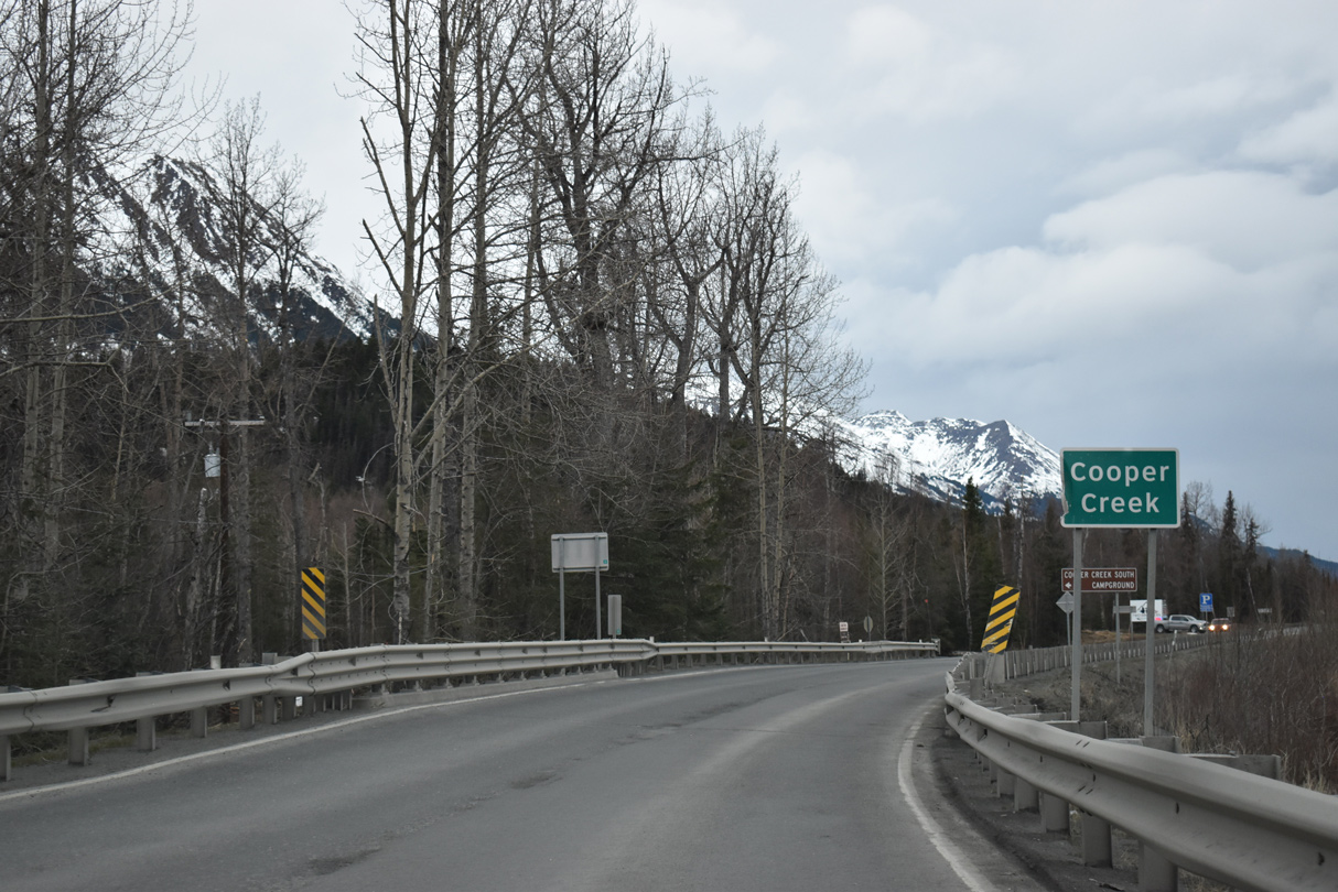
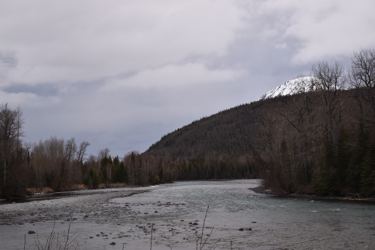
Cooper Creek drains Cooper Lake north into the Kenai River.
05/09/23
05/09/23
05/09/23
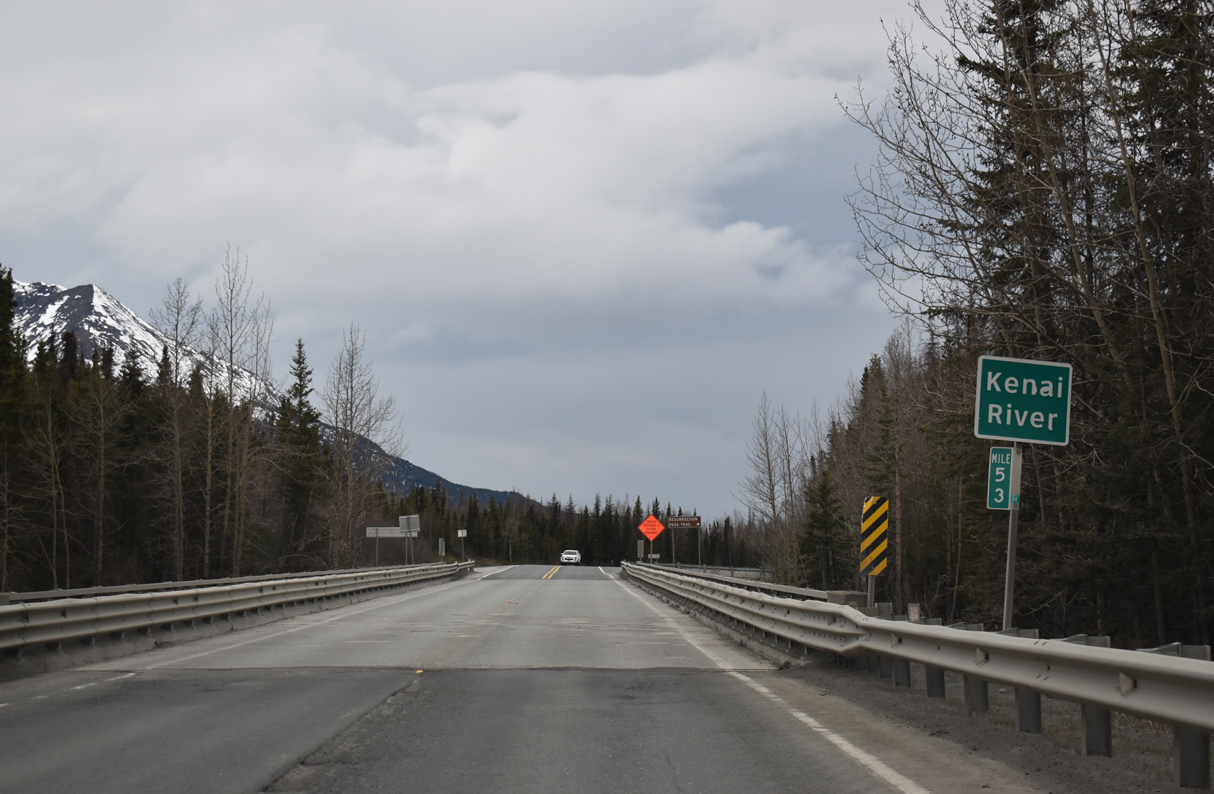
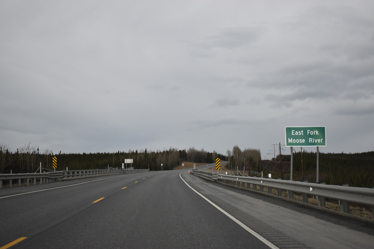
SR 1 (Sterling Highway) spans the Kenai River again north of Schooner Bend.
05/09/23
05/09/23
05/09/23
05/09/23
05/09/23
05/09/23
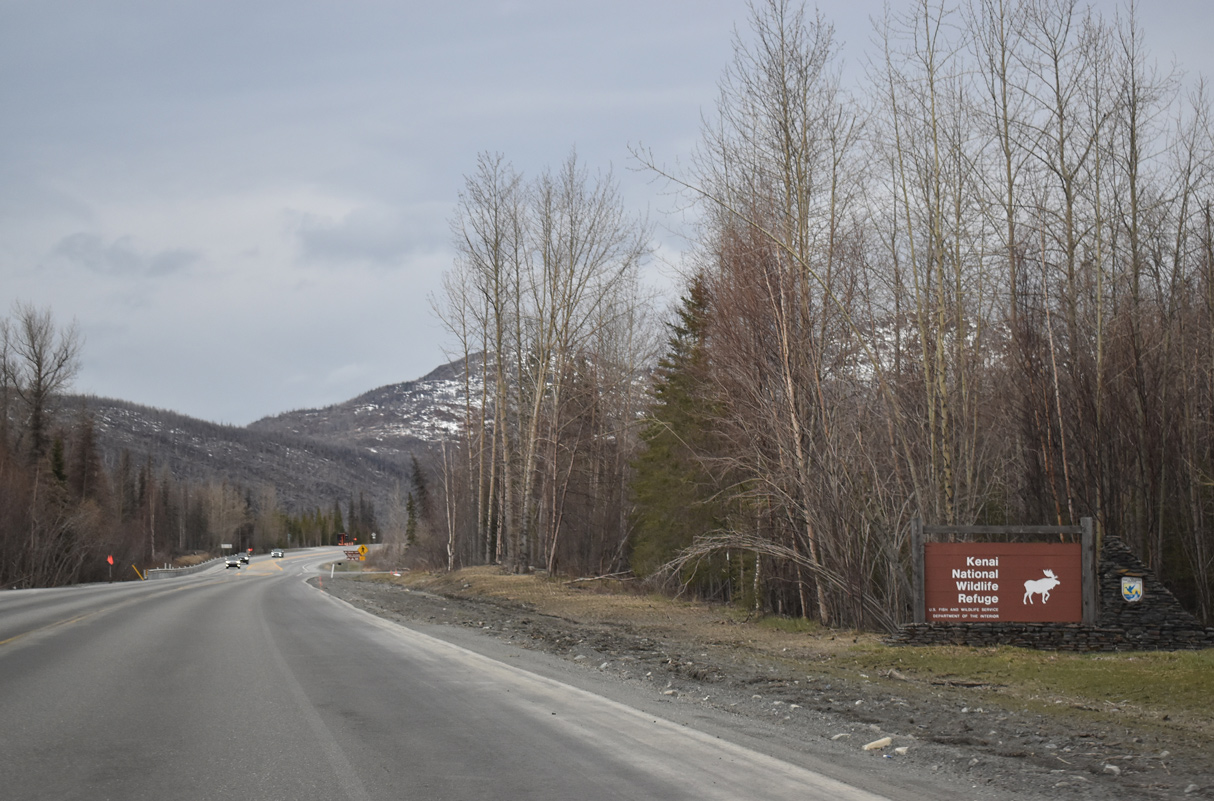
Leaving Cooper Landing, southbound SR 1 (Sterling Highway) enters Kenai National Wildlife Refuge.
05/09/23
05/09/23
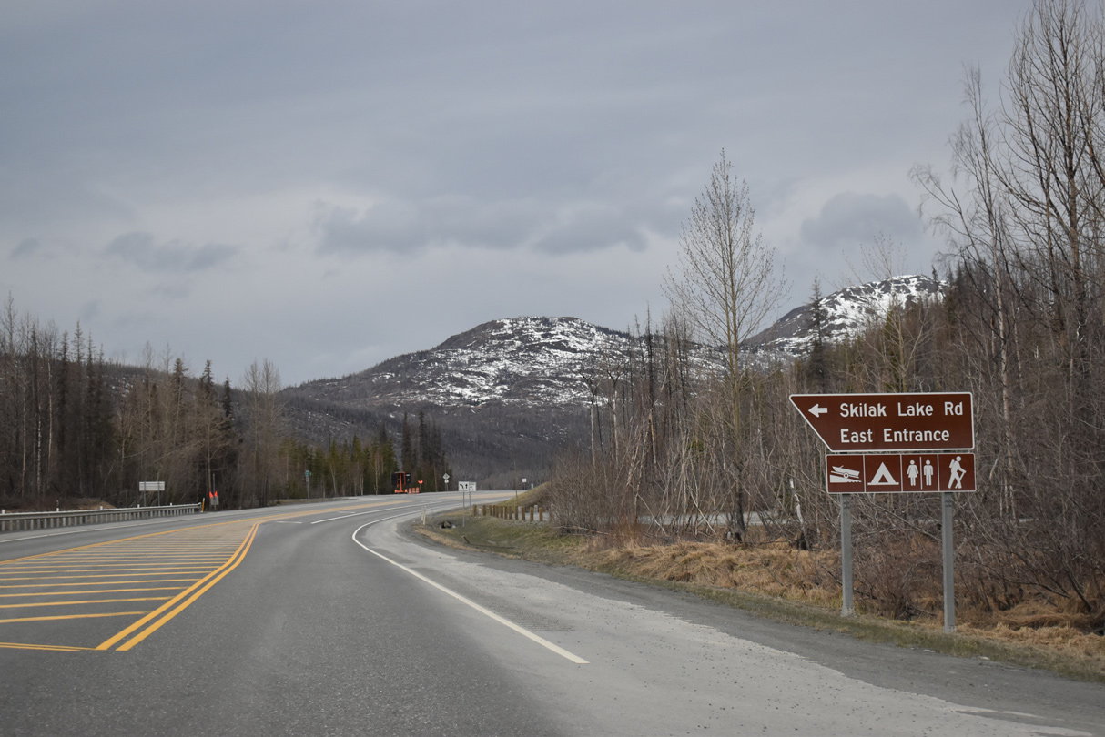
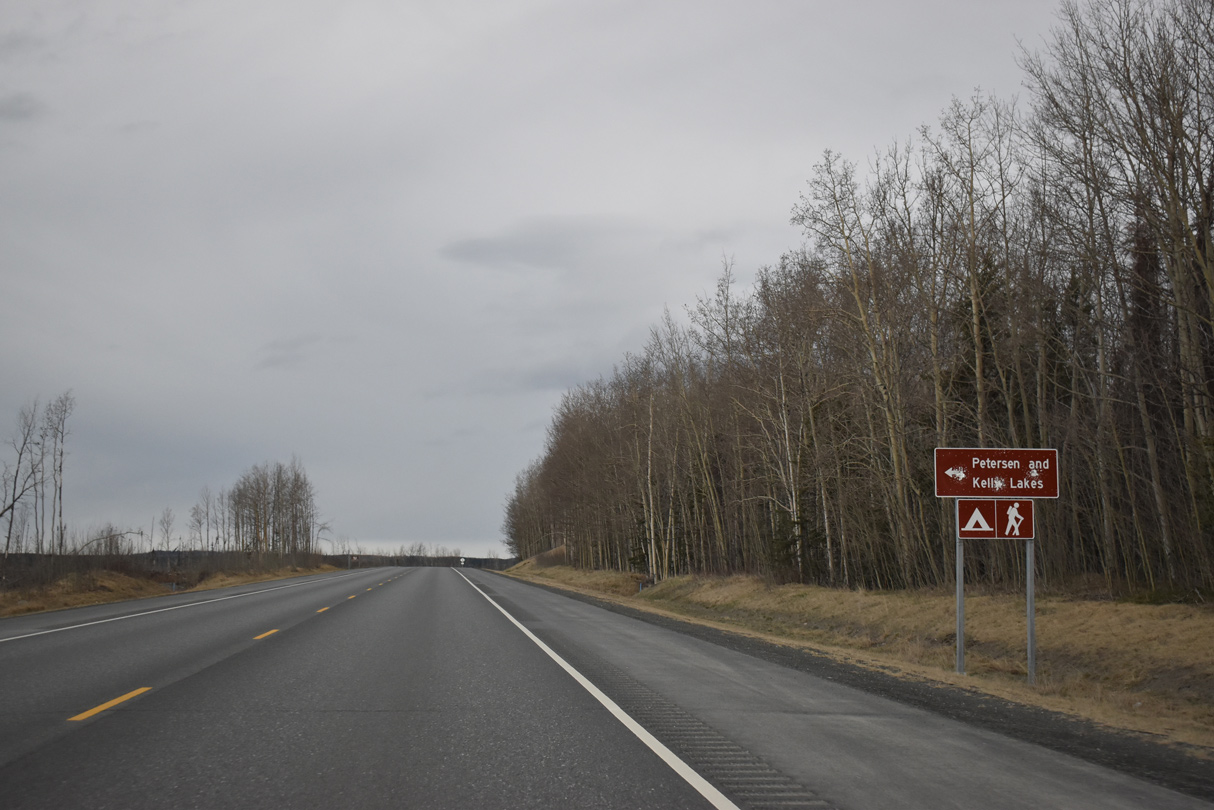
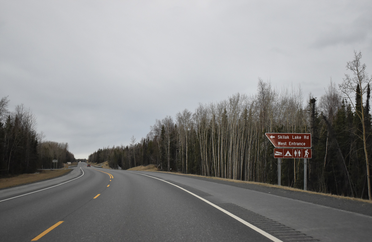
Skilak Lake Road loops 18.81 miles south from Sterling Highway between Hidden Lake and Skilak Road.
05/09/23
05/09/23
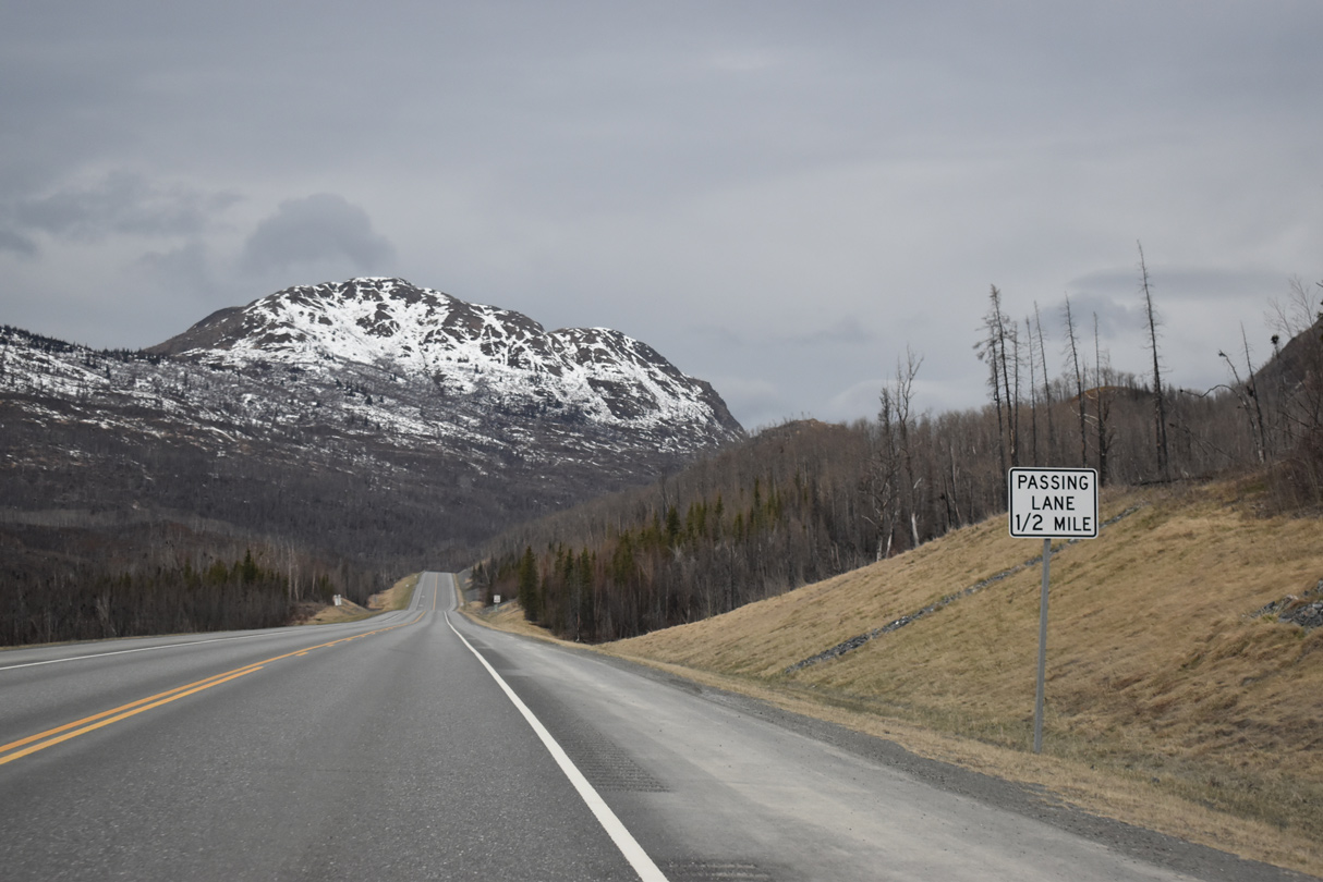
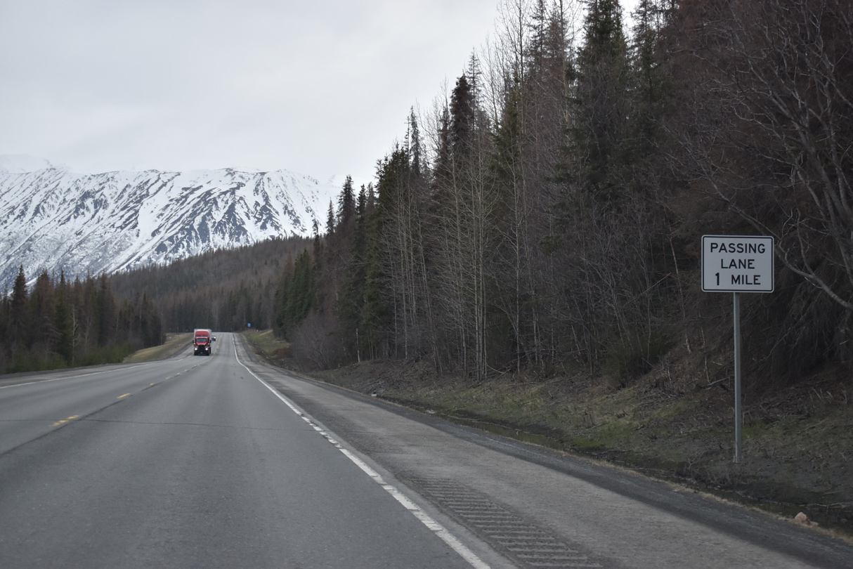
A passing lane opens along SR 1 southbound ahead of Hideout Hill.
05/09/23
05/09/23
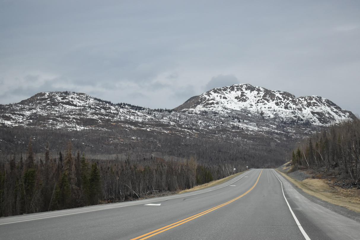
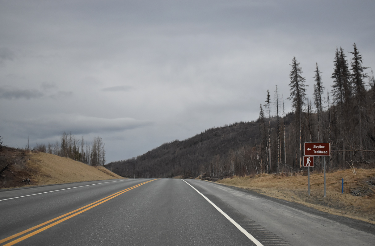
The ensuing stretch of Sterling Highway west was burned as part of the massive Swan Lake Fire in the Summer of 2019.1
05/09/23
05/09/23
05/09/23
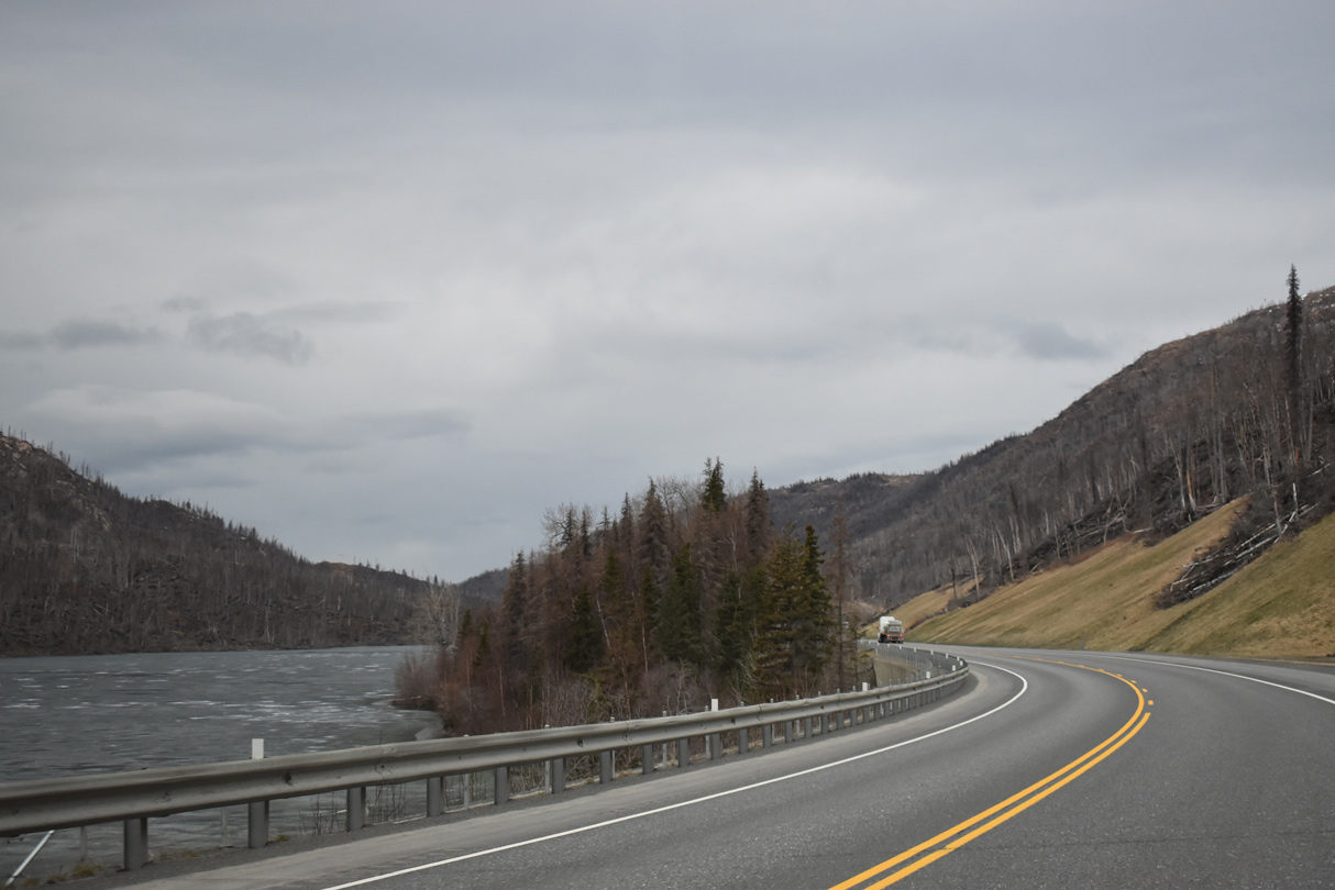
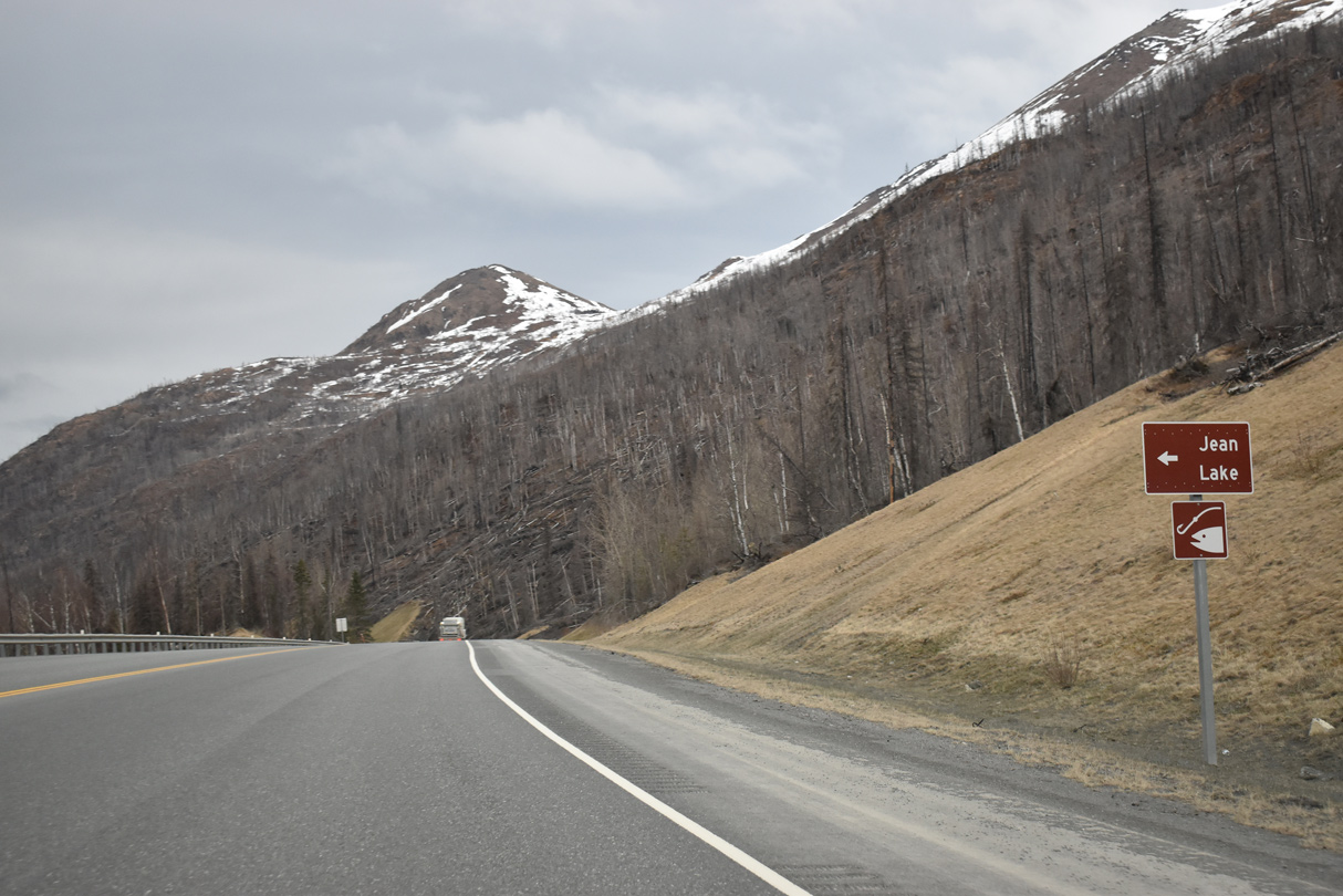
SR 1 straddles the east side of Jean Lake between Hideout Hill and the Mystery Hills.
05/09/23
05/09/23
05/09/23
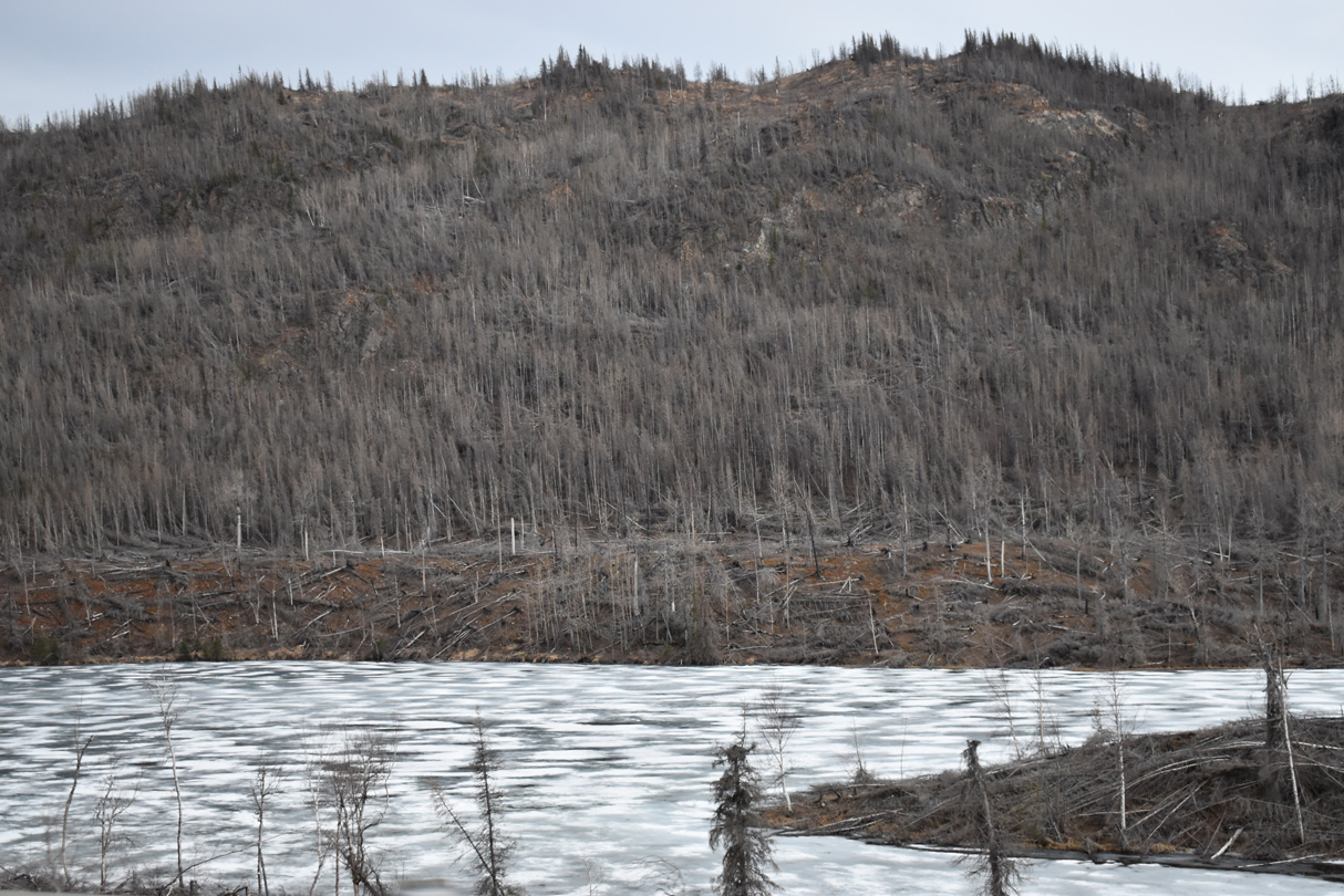
Burns areas by Upper Jean Lake. Started on June 9, 2019 due to a lightning strike, the Swan Lake Fire burned around 170,000 acres on the Kenai Peninsula.1
05/09/23
05/09/23
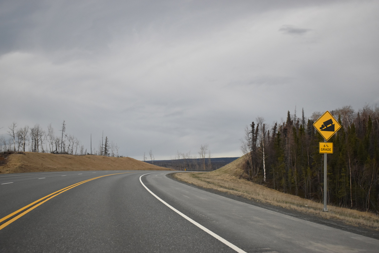
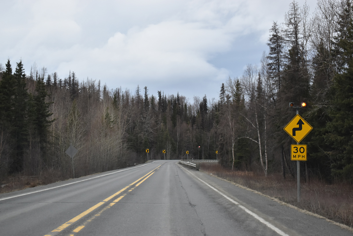
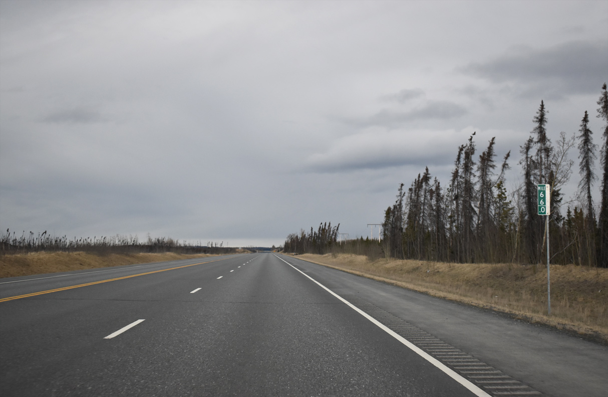
Sterling Highway lowers at a 6% grade west from the Mystery Hills.
05/09/23
05/09/23
05/09/23
05/09/23

05/09/23
05/09/23
05/09/23
05/09/23
05/09/23
05/09/23
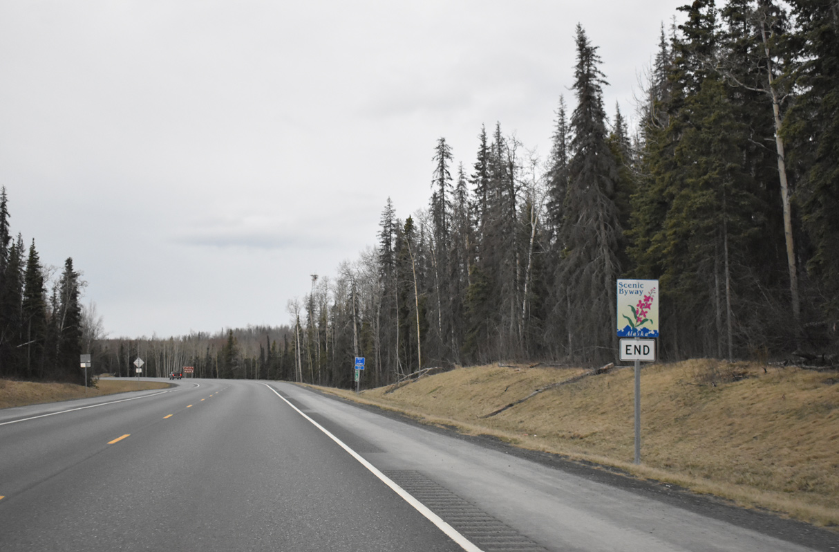
The scenic highway designation along SR 1 ends southbound at the boundary of Kenai National Wildlife Refuge.
05/09/23
05/09/23
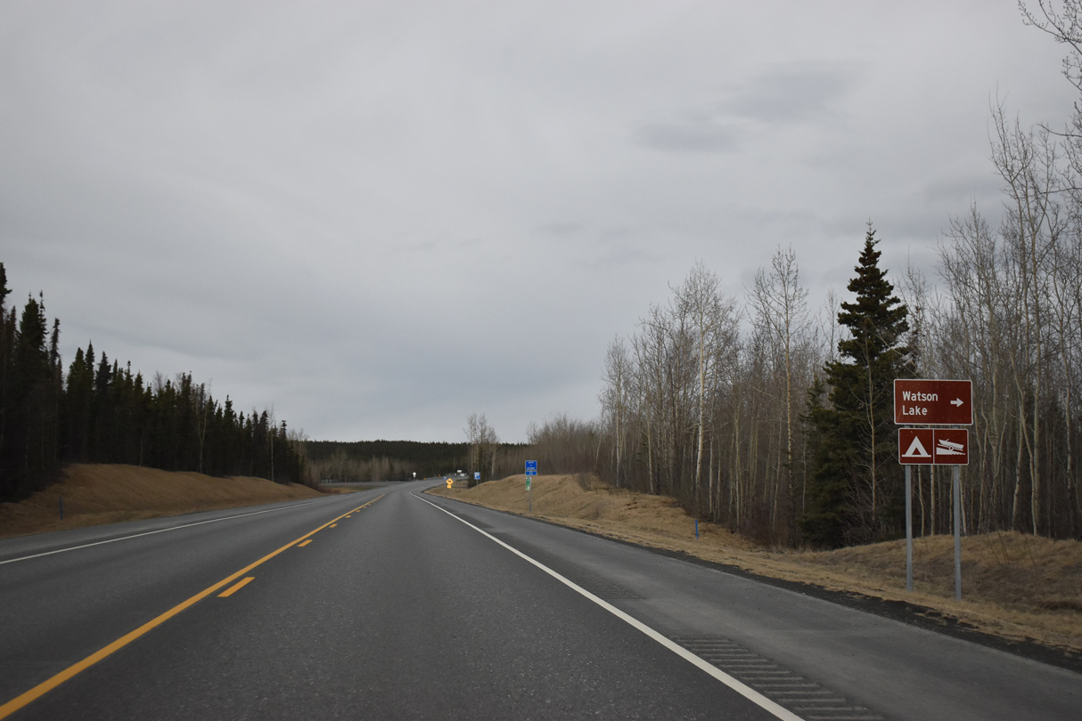
Skilak Lake Road returns to Sterling Highway north from Bottenintnin Lake.
05/09/23
05/09/23

05/09/23
SR 1 expands to a four lane, divided highway west into Sterling beyond Kenai Keys Road.
05/09/23
05/09/23

05/09/23
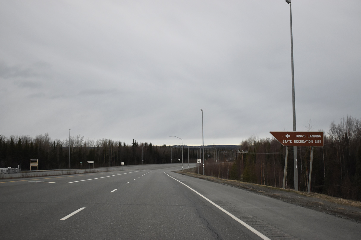
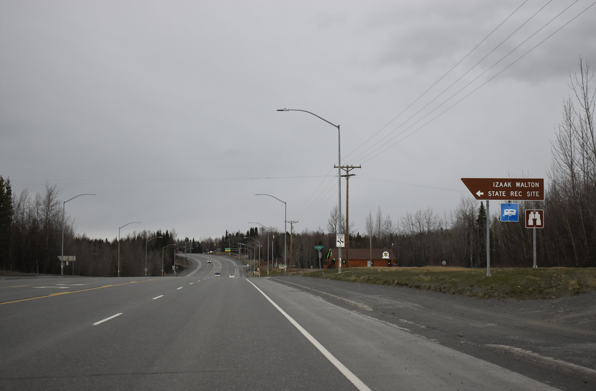
Bings Landing Road spurs south to Bing's Landing State Recreation Site along the Kenai River.
05/09/23
05/09/23
Sterling Highway transitions into a five lane boulevard west from Winsel Circle.
05/09/23
05/09/23
05/09/23
05/09/23

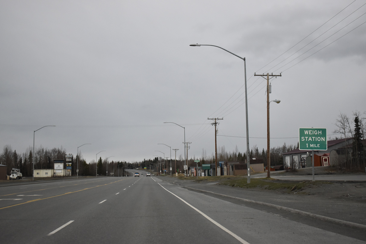
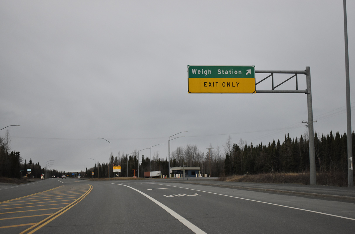
Southbound SR 1 narrows to a single lane a half mile west of Pederson Lane at the Sterling Weigh Station.
05/09/23
05/09/23
05/09/23

05/09/23
05/09/23
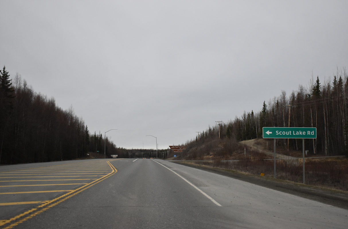
Scout Lake Road forms a 4.38 mile long loop south from SR 1 (Sterling Highway) to residential areas along the Kenai River.
05/09/23
05/09/23
05/09/23

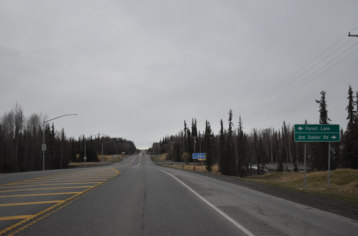
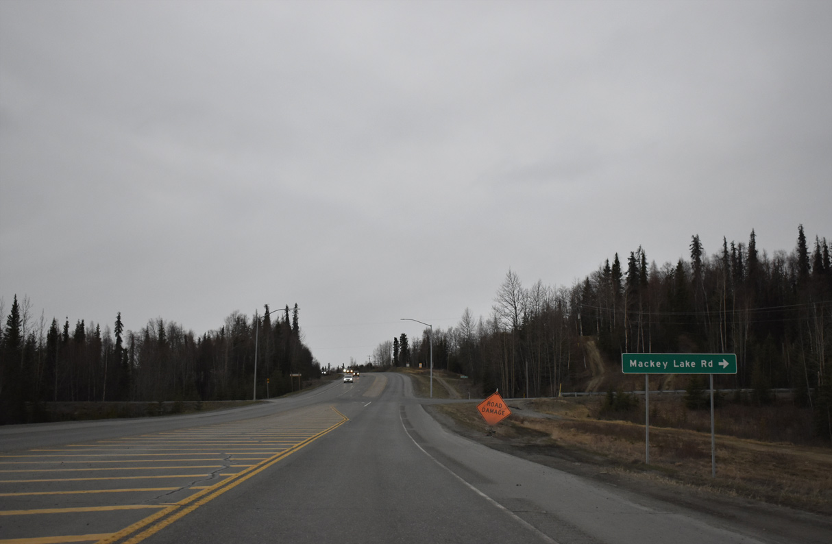
Robinson Loop Road heads 5.11 miles west from Swanson River Road to SR 1 at Tustumena Street.
05/09/23
05/09/23
05/09/23
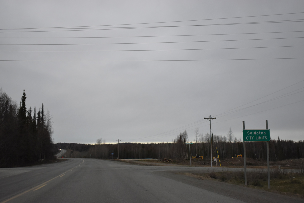
SR 1 (Sterling Highway) south enters the city of Soldotna at N Boundary Street.
05/09/23
05/09/23
05/09/23
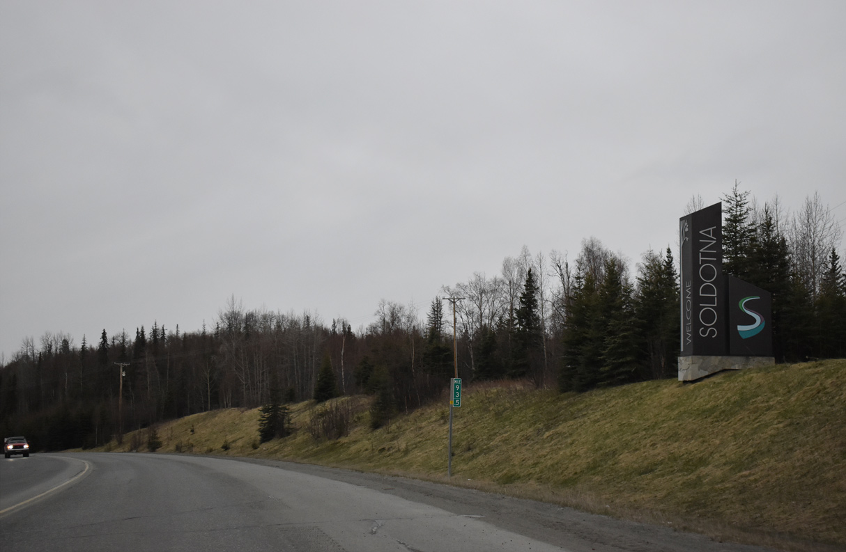
05/09/23
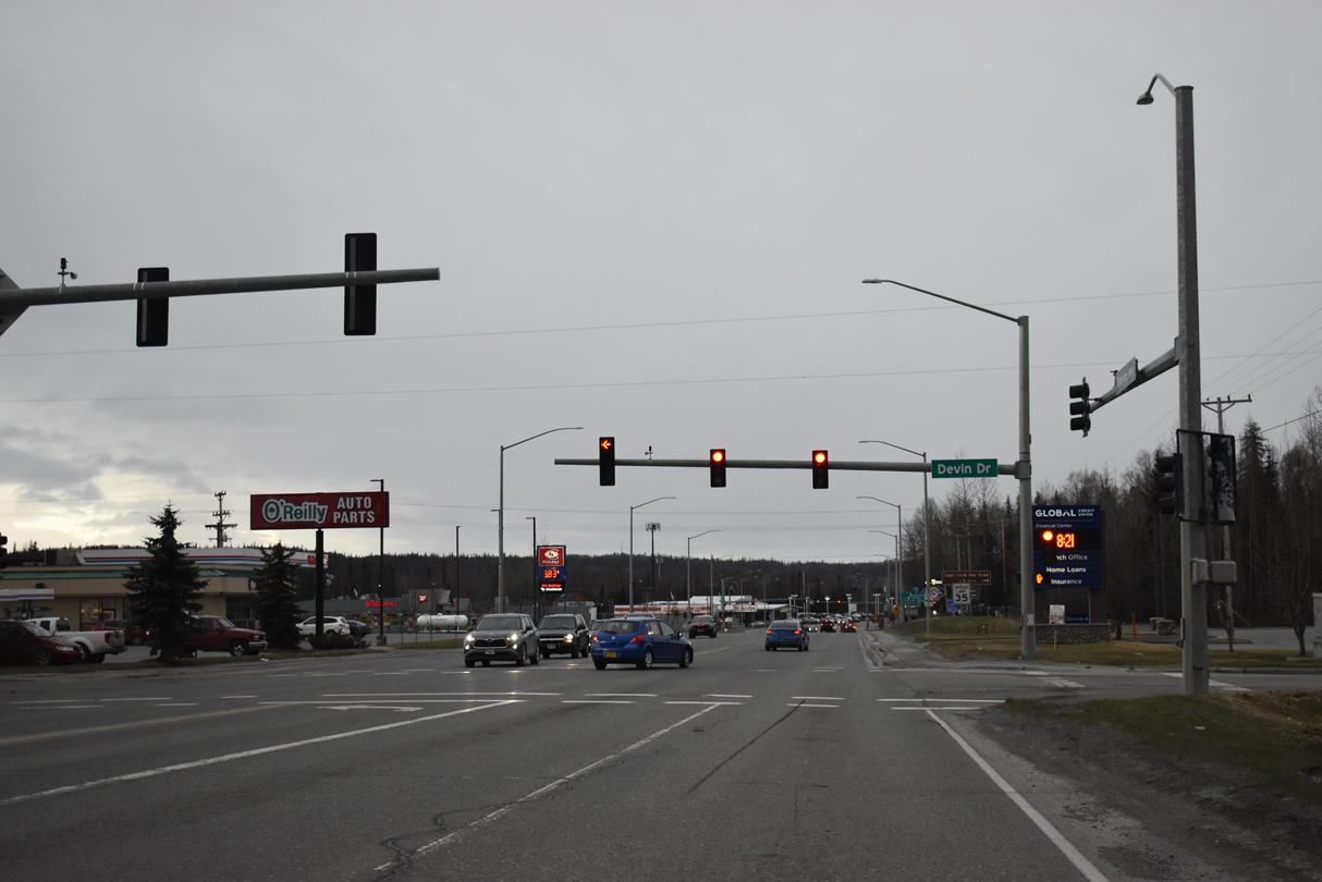
SR 1 expands to a five lane, commercial boulevard southwest to the Soldotna city center.
05/09/23
05/09/23
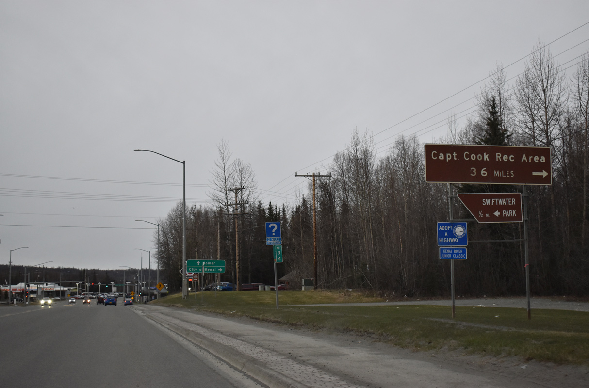
Kenai Spur Highway travels 38.39 miles north to Captain Cook State Recreation Area along Cook Inlet.
05/09/23
05/09/23
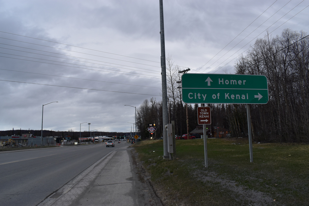
Kenai Spur Highway connects Soldotna with the city of Kenai ten miles to the north.
05/09/23
05/09/23
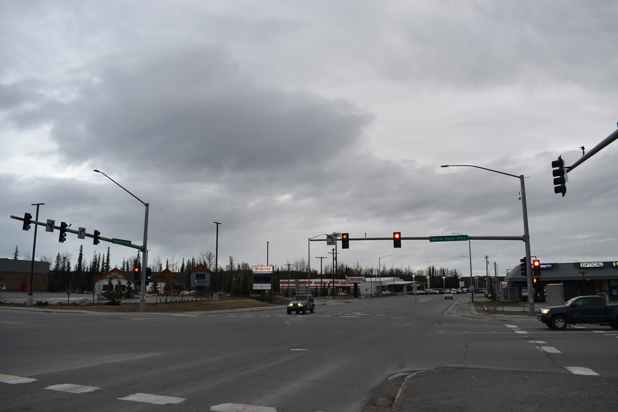
The intersection joining SR 1 (Sterling Highway) with Kenai Spur Highway represents the south end of unsigned Interstate A3.
05/09/23
05/09/23
Photo Credits:
- Alex Nitzman: 05/09/23
Page Updated Wednesday June 07, 2023.