
State Route 2 North - Big Delta to Salcha
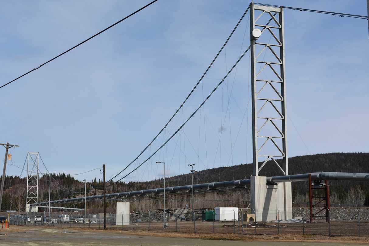
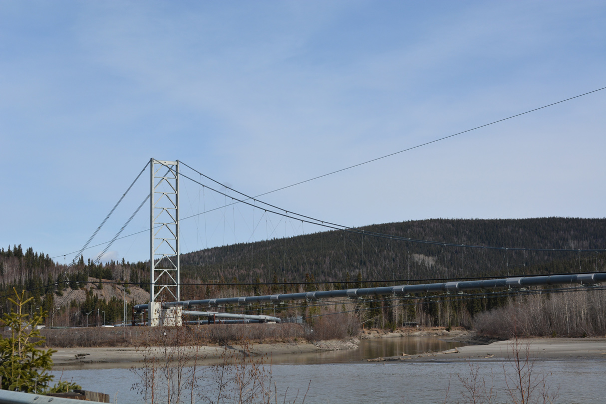
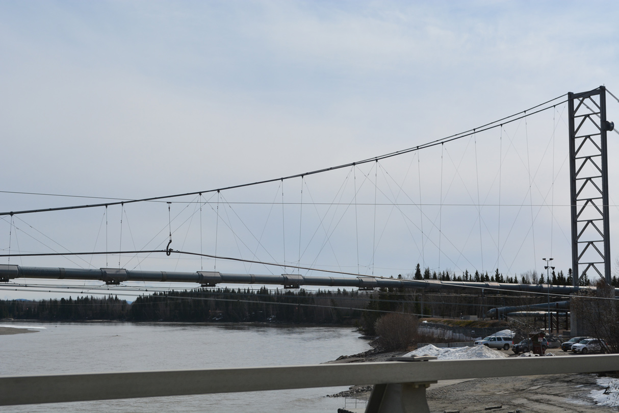
Paralleling SR 2 (Richardson Highway) just to the east at Big Delta, the Trans-Alaska Pipeline crosses the Tanana River on a wire suspension bridge built in the early 1970s.1 05/08/23
 North
North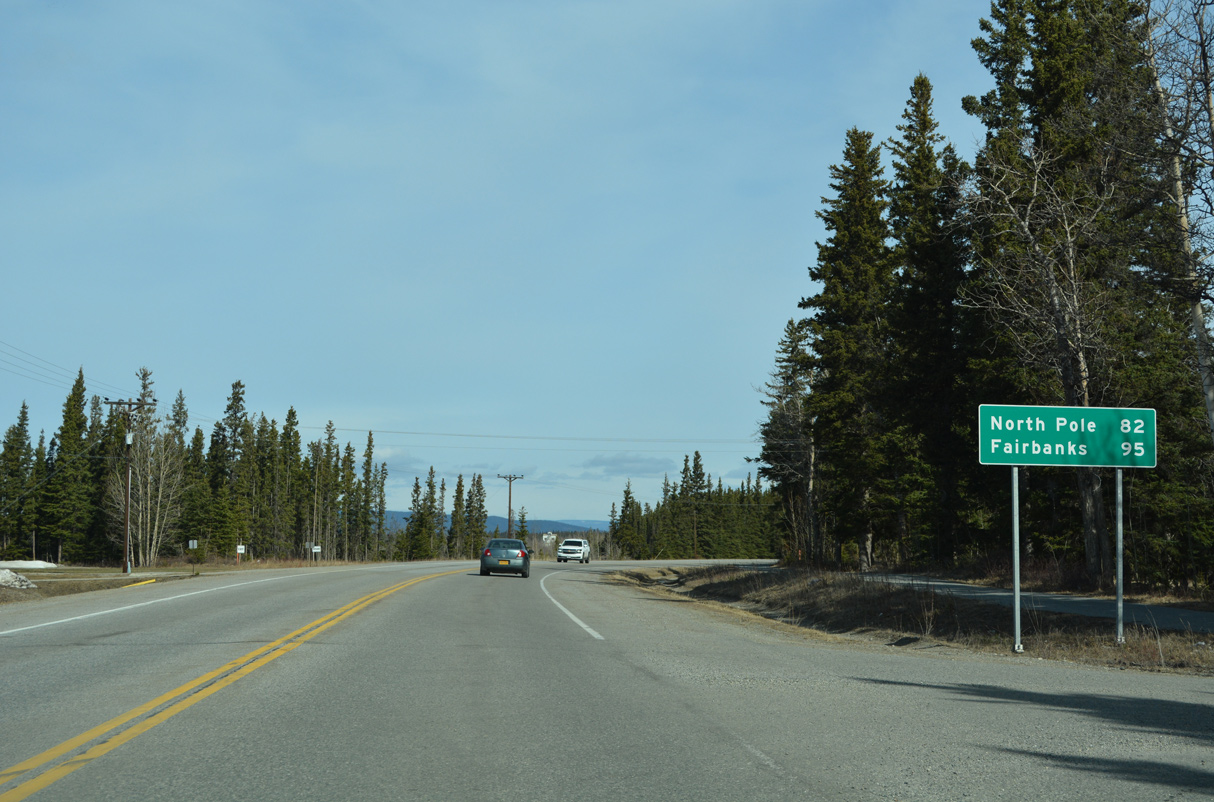
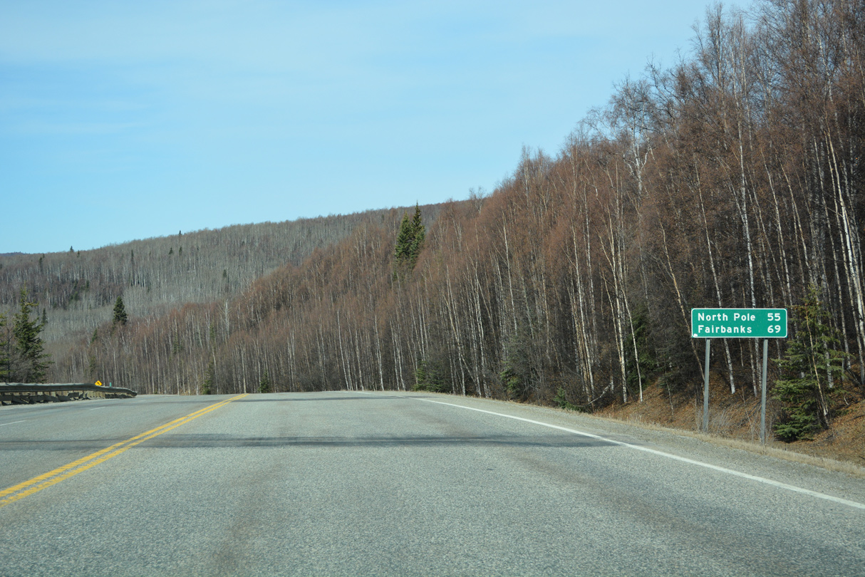
Heading north out of Delta Junction, SR 2 (Richardson Highway) reaches North Pole in 82 miles and Fairbanks in 95 miles.
05/08/23
05/08/23
05/08/23
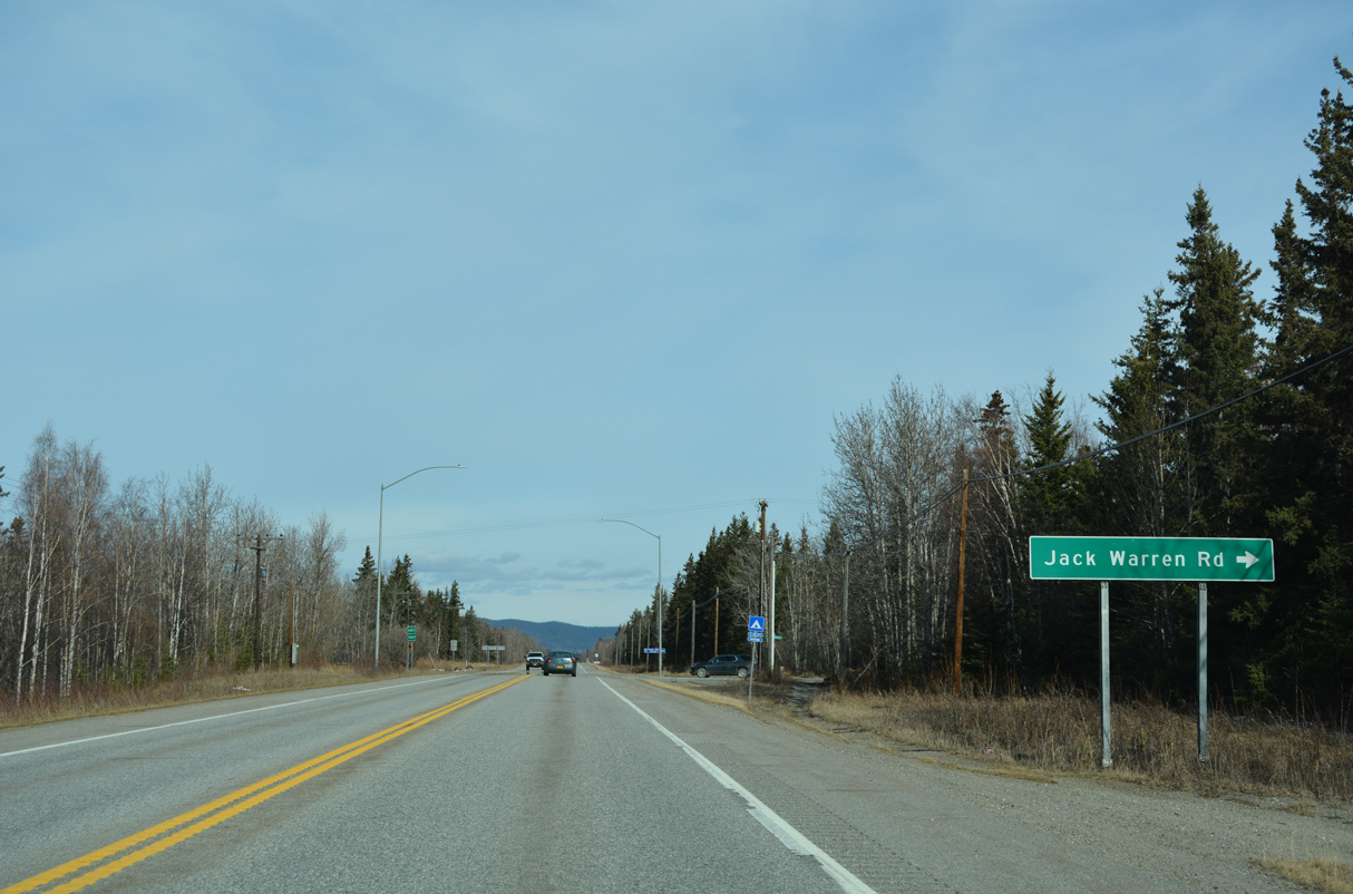
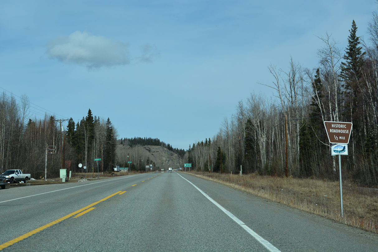
Jack Warren Road is a major collector leading 5.74 miles east from SR 2 to Souhrada Road at Deltana.
05/08/23
05/08/23
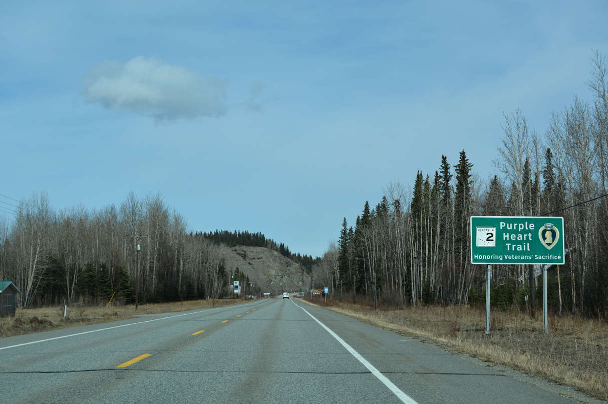
SR 2 (Richardson Highway) advances northwest into the census designated place of Big Delta.
05/08/23
05/08/23
05/08/23
05/08/23
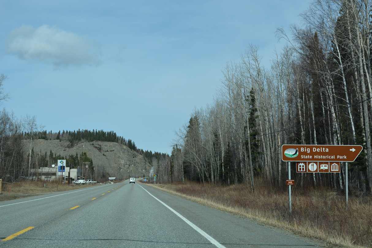
Big Delta State Historical Park lies along the Tanana River just off Rika's Road.
05/08/23
05/08/23

Richardson Highway spans the Tanana River adjacent to the mouth of the Delta River.
05/08/23
05/08/23
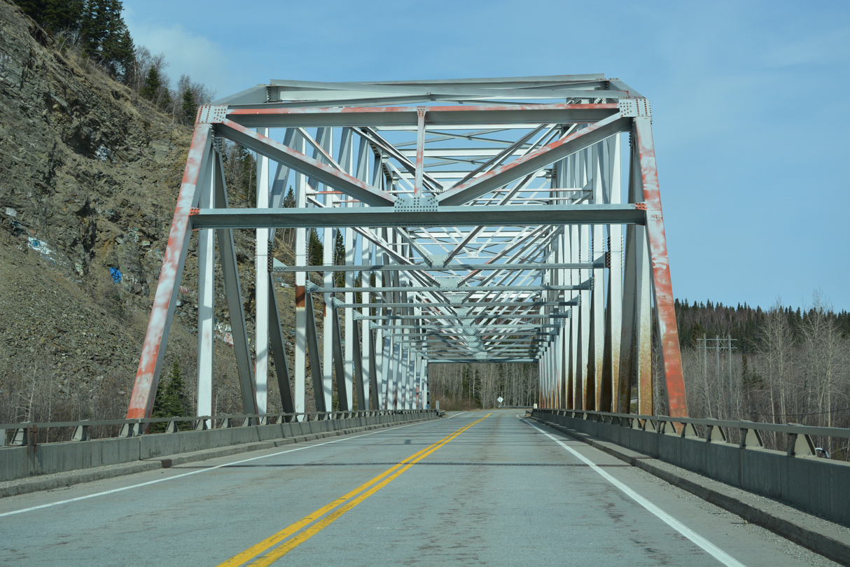
The K-Parker through truss bridge taking SR 2 across the Tanana River was built in 1966.2
05/08/23
05/08/23
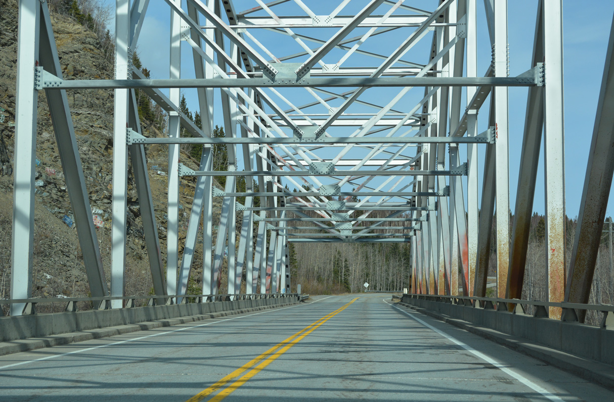
The Tanana River bridge is 784 feet in length.2
05/08/23
05/08/23
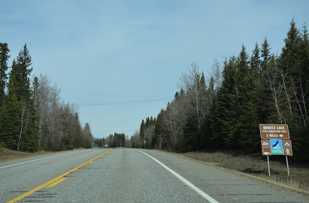
Quartz Lake Road spurs 2.67 miles east from SR 2 (Richardson Highway) to the Quartz Lake Recreation Area.
05/08/23
05/08/23
05/08/23
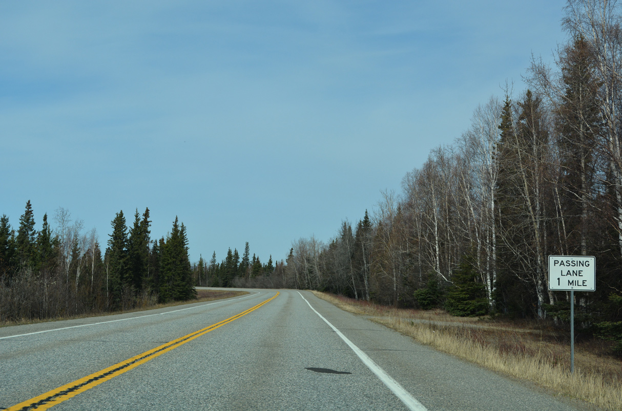
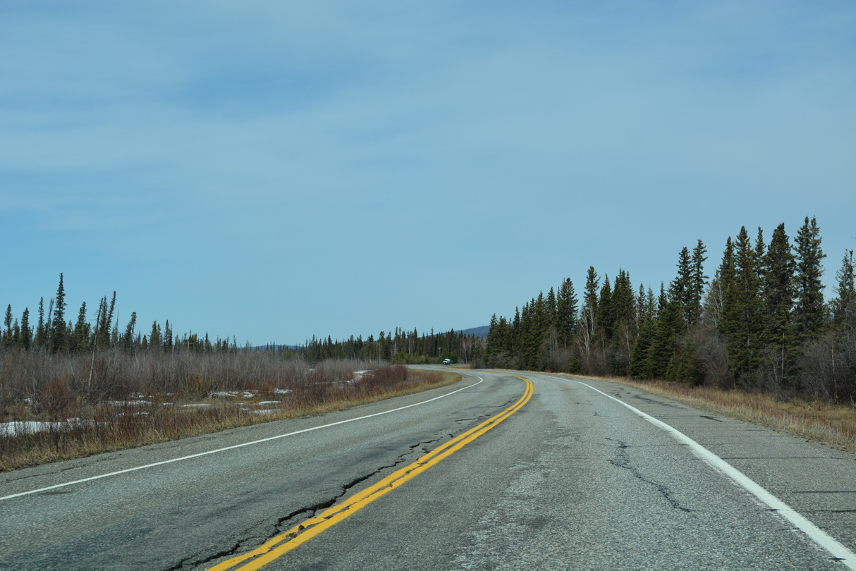
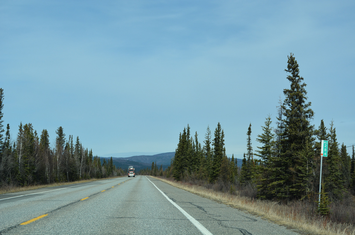
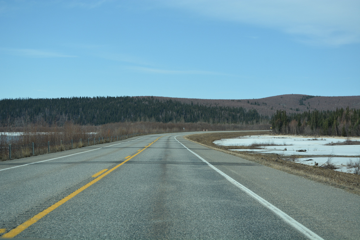
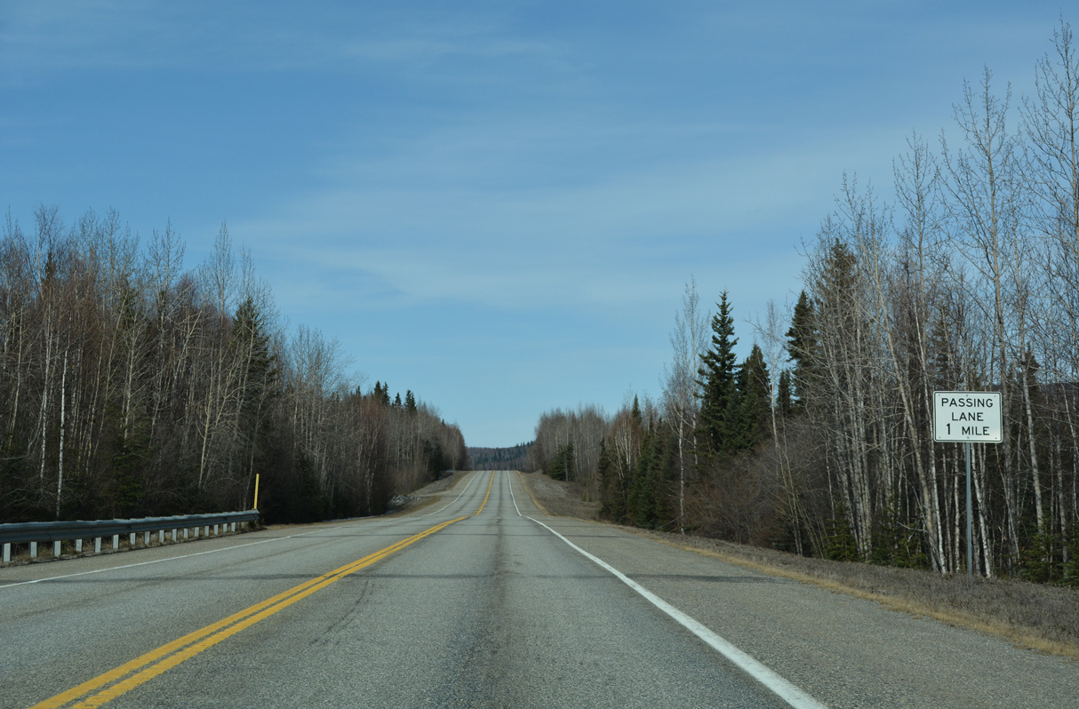
A northbound passing lane opens along Richardson Highway beyond milepost 280 and west of Shaw Creek Flats.
05/08/23
05/08/23
05/08/23
05/08/23
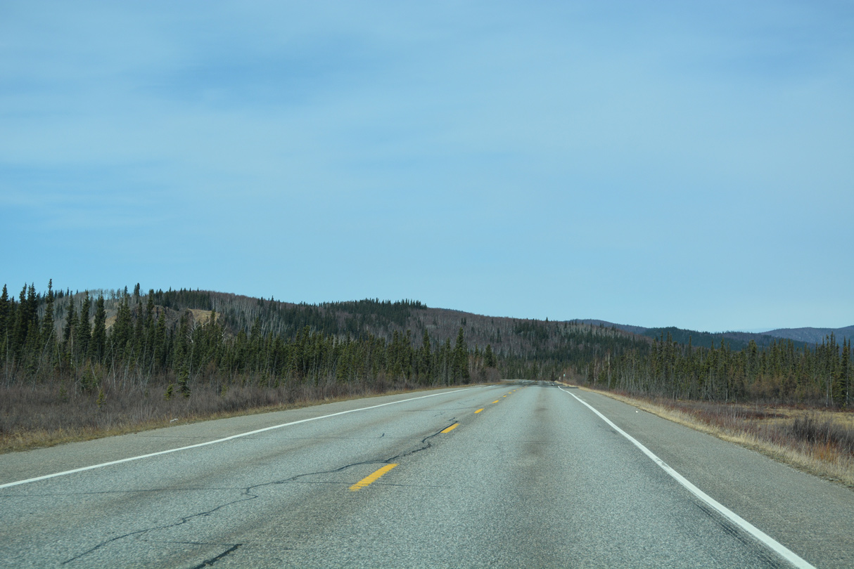
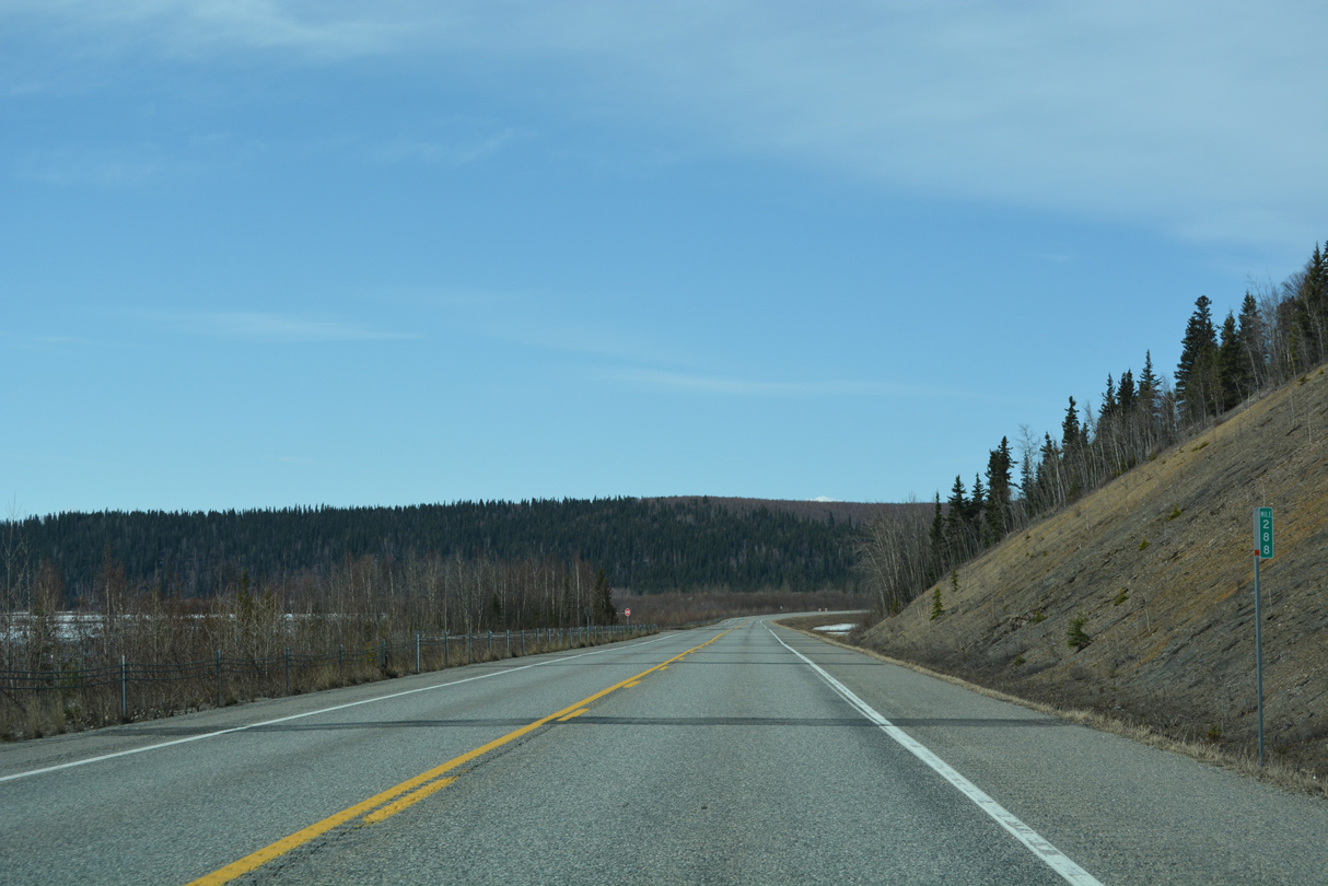
Curving west at Richardson Highway milepost 286, two sections of old alignment remain on the north side of SR 2.
05/08/23
05/08/23
05/08/23
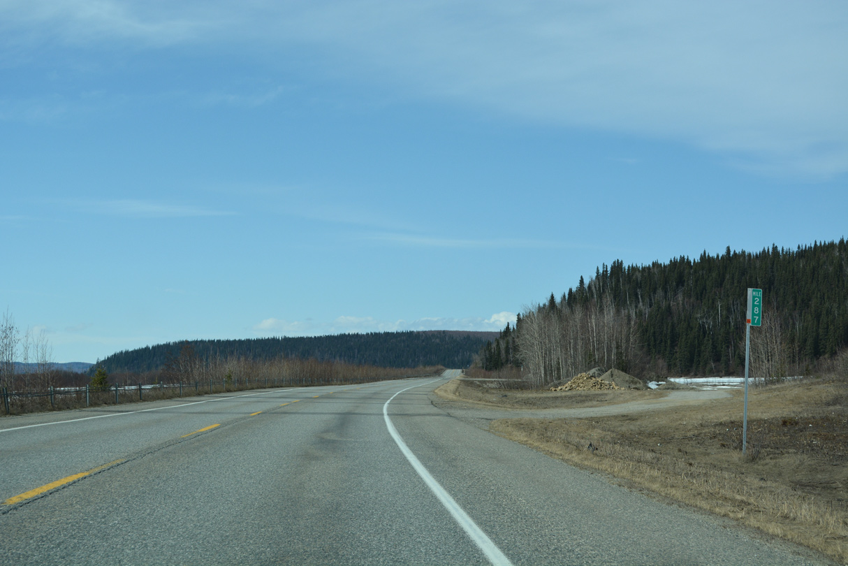
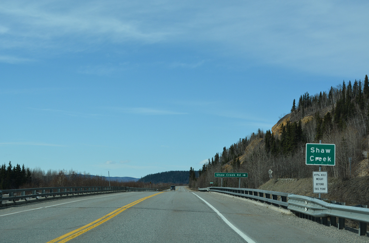
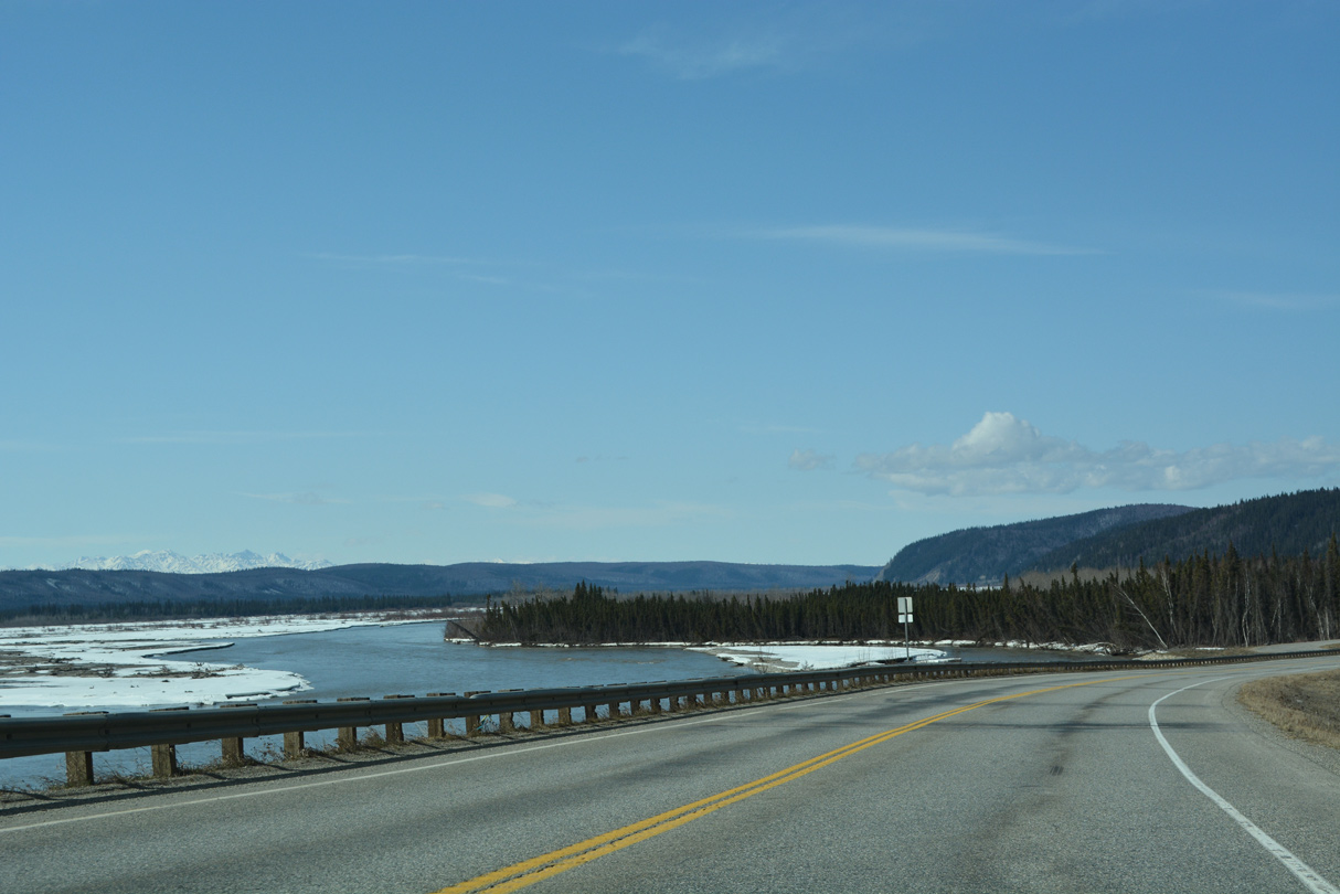
SR 2 (Richardson Highway) straddles the northern banks of the Tanana River from mile marker 287 to 288.
05/08/23
05/08/23
05/08/23
05/08/23
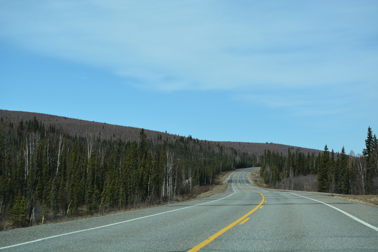
Diverging northward from the Tanana River, Richardson Highway parallels Tenderfoot Creek.
05/08/23
05/08/23
05/08/23
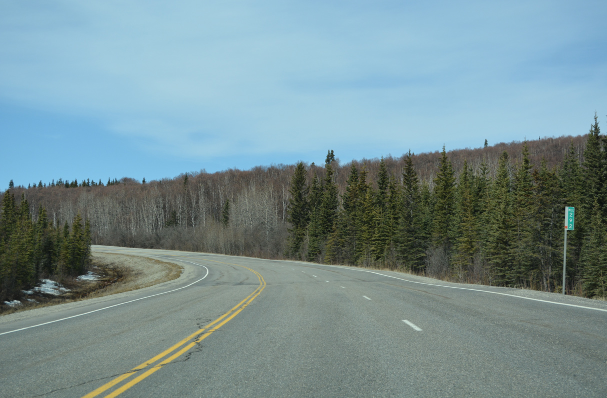
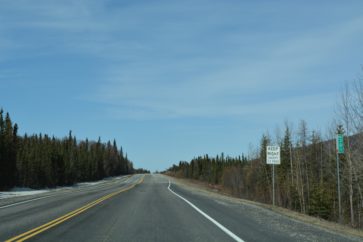
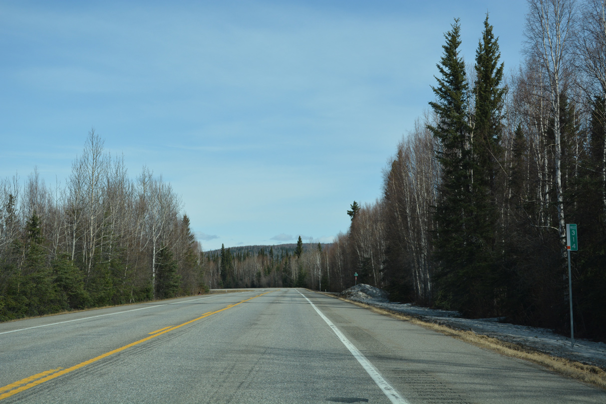
Distance sign posted ahead of Richardson Highway milepost 293.
05/08/23
05/08/23
05/08/23
05/08/23
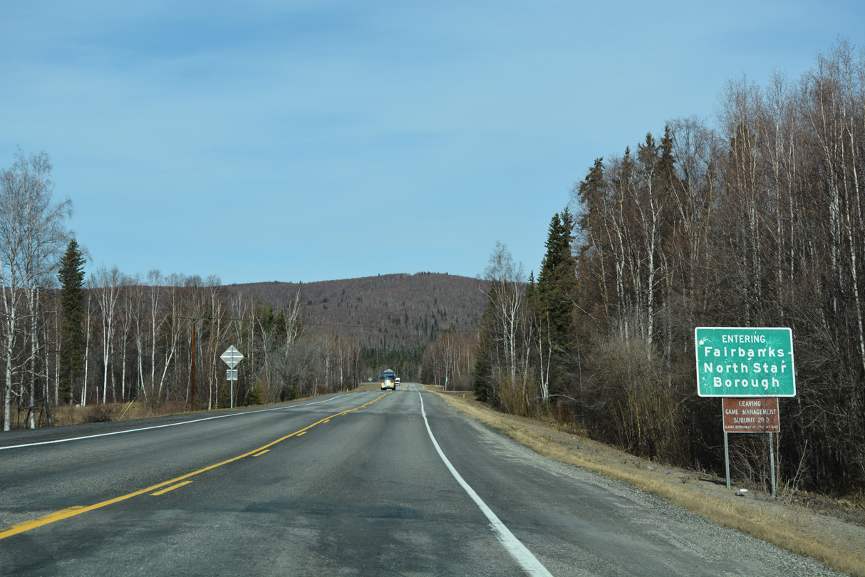
SR 2 (Richardson Highway) northbound enters Fairbanks North Star Borough just ahead of mile marker 295.
05/08/23
05/08/23
05/08/23
05/08/23
05/08/23
05/08/23
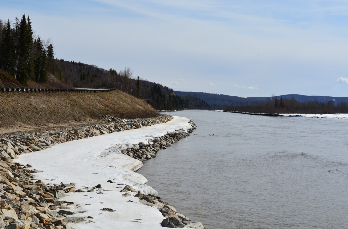
SR 2 (Richardson Highway) converges with the north banks of the Tanana River again near mile marker 299.
05/08/23
05/08/23

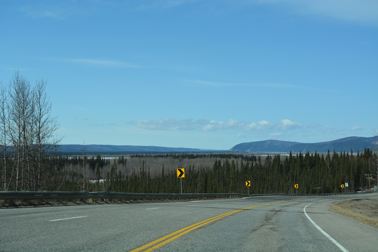
The Alaska Range spreads along the southern horizon.
05/08/23
05/08/23
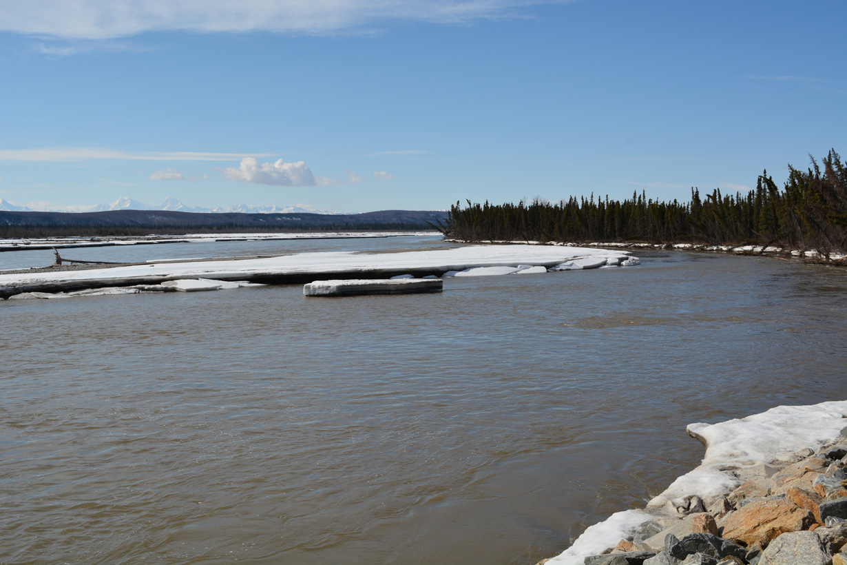
Looking up river along the Tanana from the turn out along Richardson Highway near milepost 299.
05/08/23
05/08/23

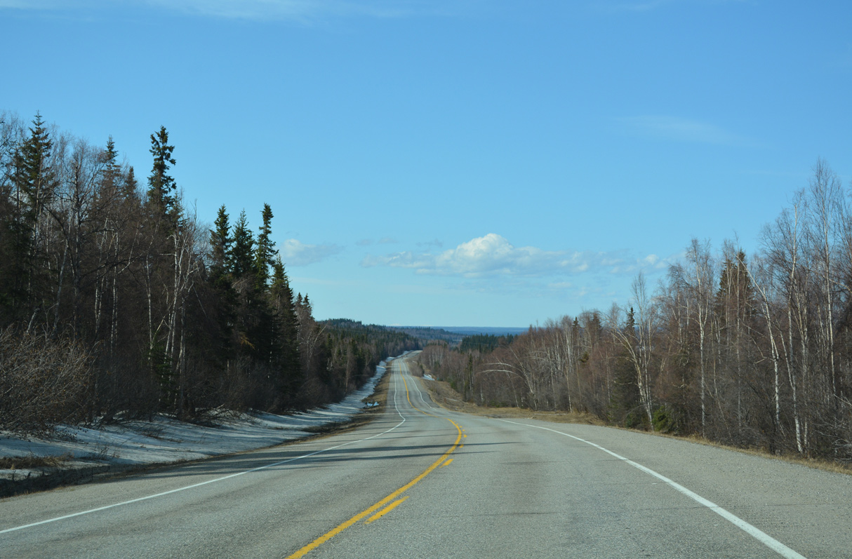
SR 2 turns north away from the Tanana River along Canyon Creek.
05/08/23
05/08/23
05/08/23

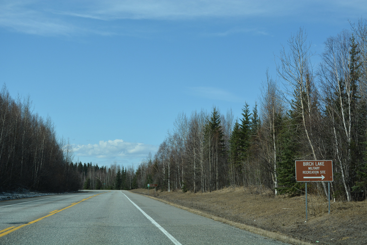
Birch Lake appears to the west.
05/08/23
05/08/23
05/08/23
05/08/23
05/08/23
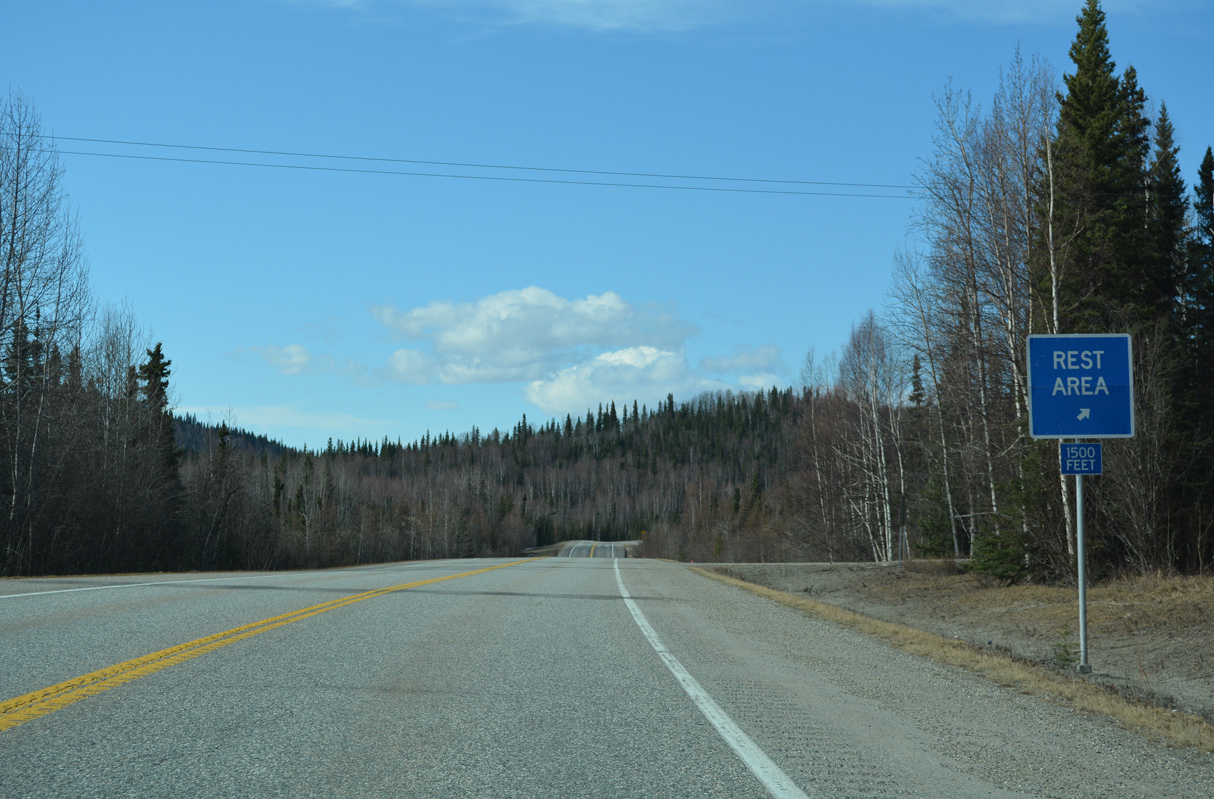
A rest area lies between SR 2 (Richardson Highway) and southern reaches of Birch Lake.
05/08/23
05/08/23
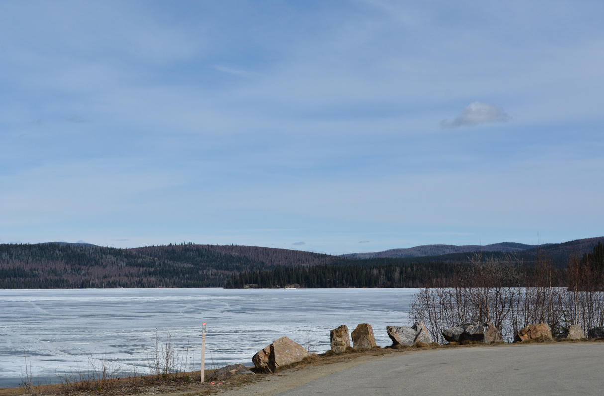
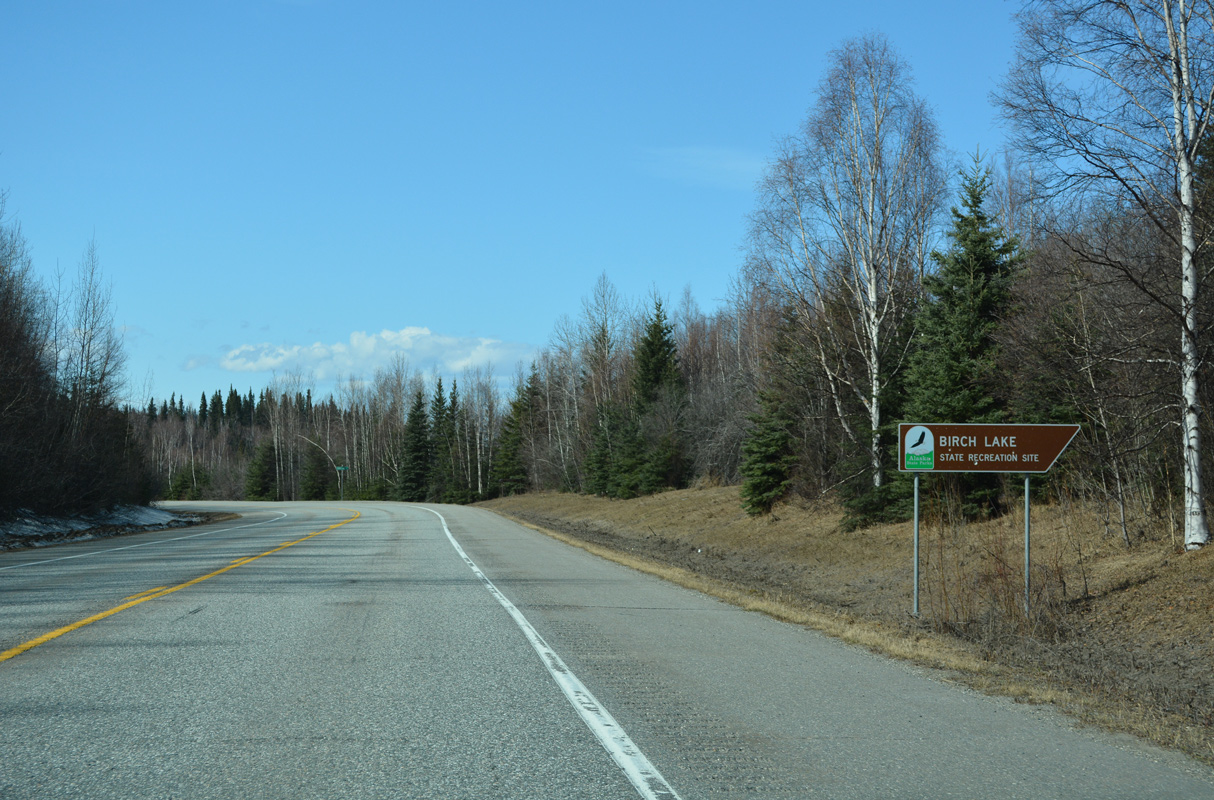
Birch Lake
05/08/23
05/08/23
05/08/23
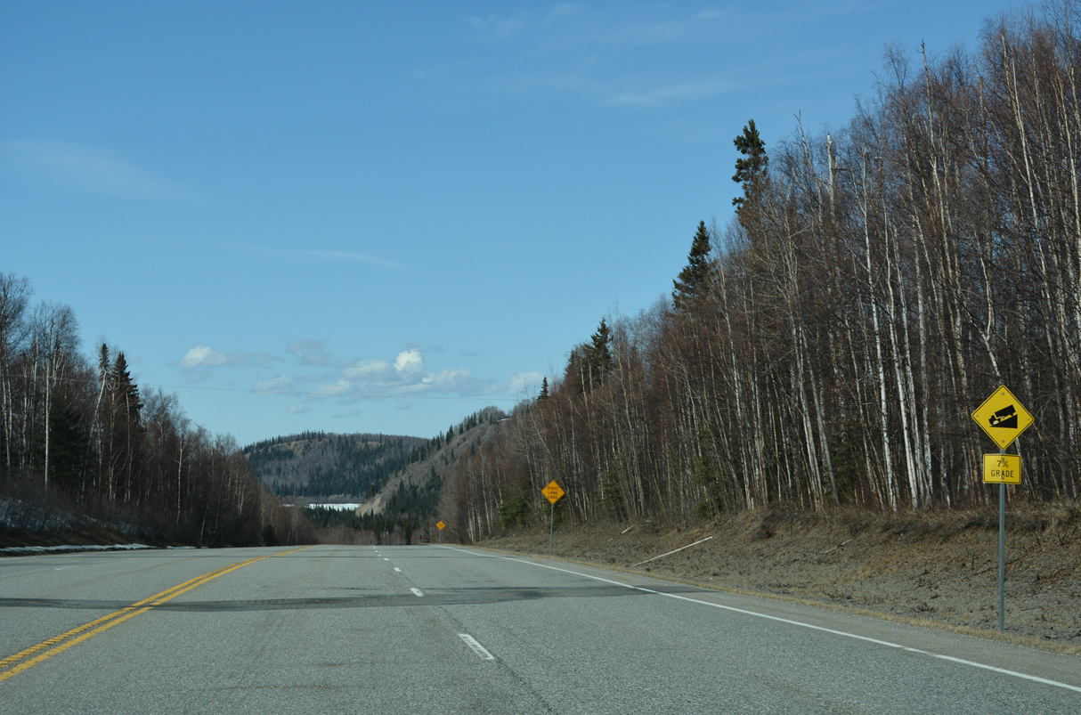
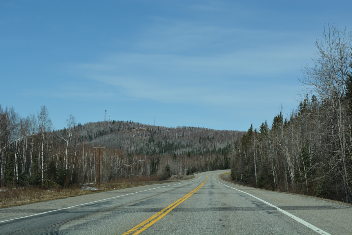
SR 2 lowers at a 7% grade back to the Tanana River.
05/08/23
05/08/23
05/08/23
05/08/23
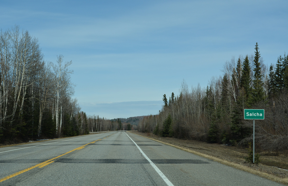
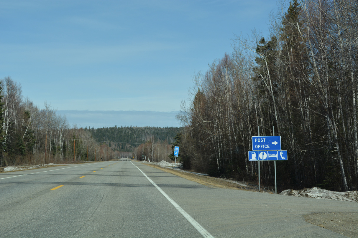
SR 2 (Richardson Highway) north at the census designated place of Salcha.
05/08/23
05/08/23
05/08/23
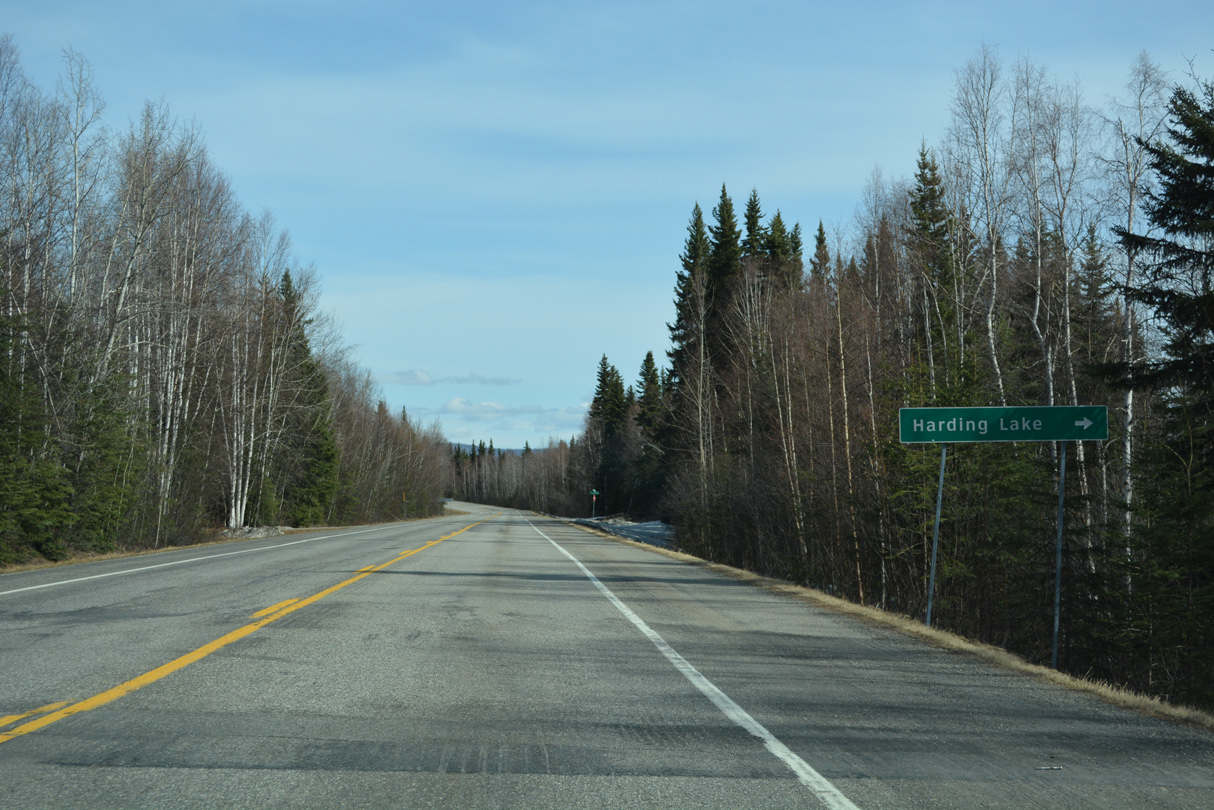
Salcha Drive connects SR 2 with Harding Lake east of Richardson Highway.
05/08/23
05/08/23

05/08/23
05/08/23
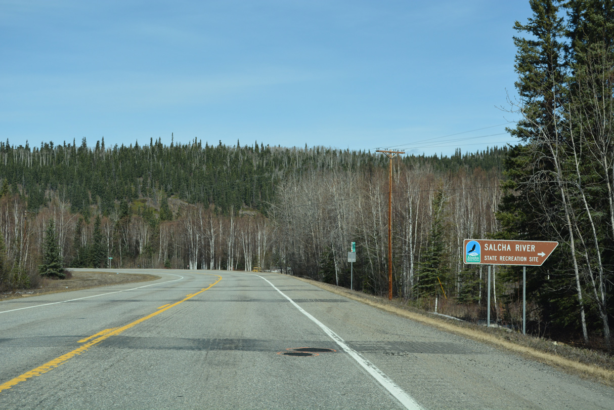
SR 2 (Richardson Highway) north reaches Salcha River State Recreation Area at milepost 323.
05/08/23
05/08/23
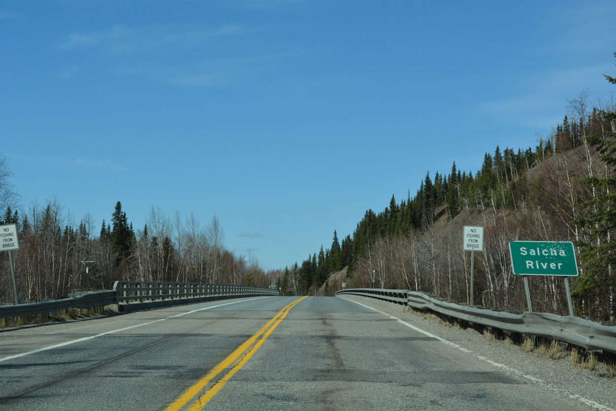
Richardson Highway turns west to cross the Salcha River.
05/08/23
05/08/23
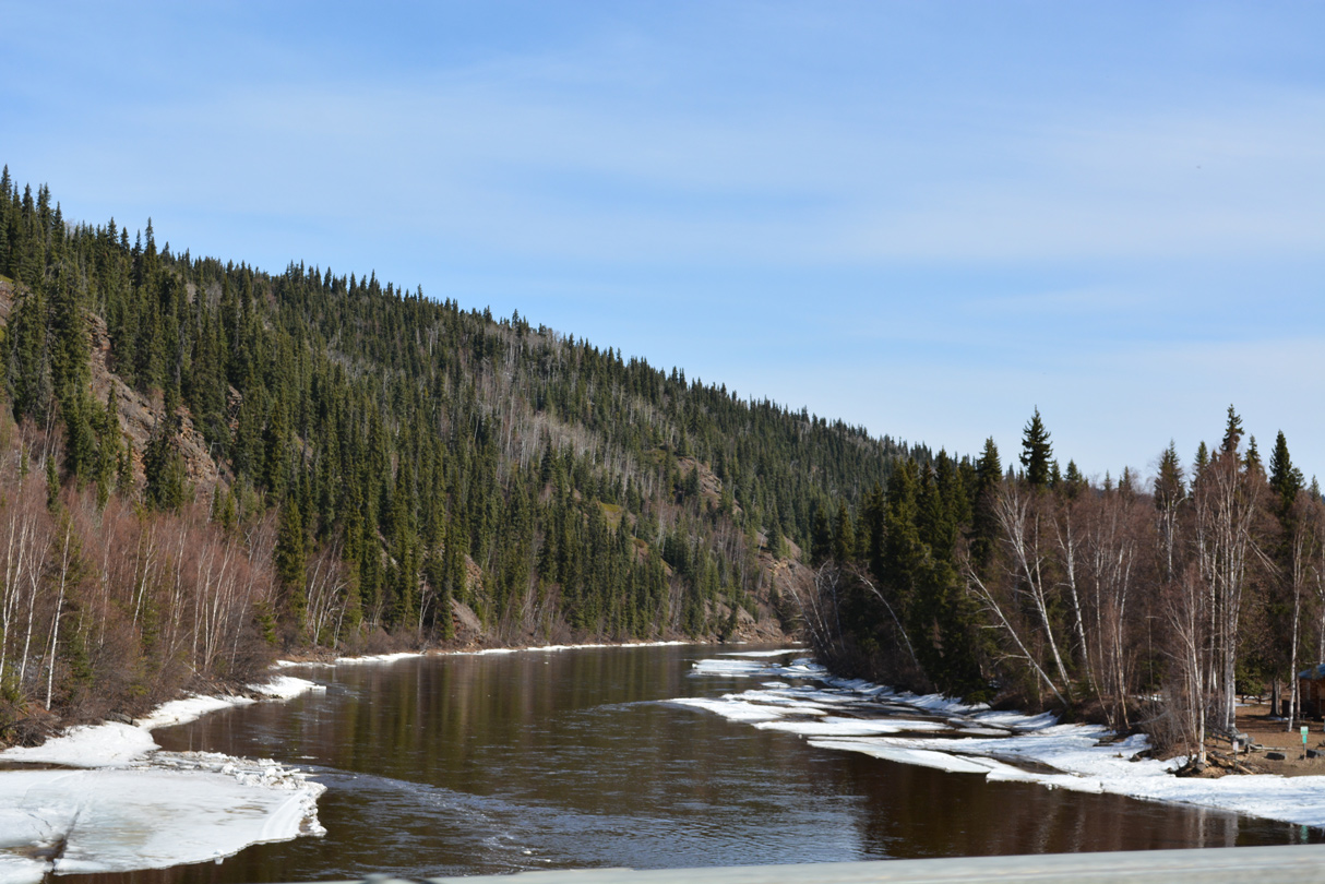
Salcha Bluff rises along the north side of the Salcha River east of SR 2.
05/08/23
05/08/23
05/08/23
05/08/23
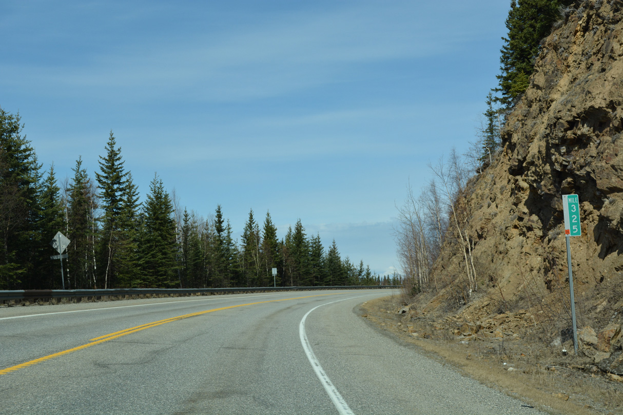
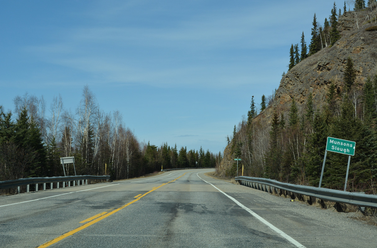
Curving north along the Salcha River as it flows into the Tanana River, SR 2 straddles the west side of a bluff at milepost 325.
05/08/23
05/08/23

05/08/23

05/08/23
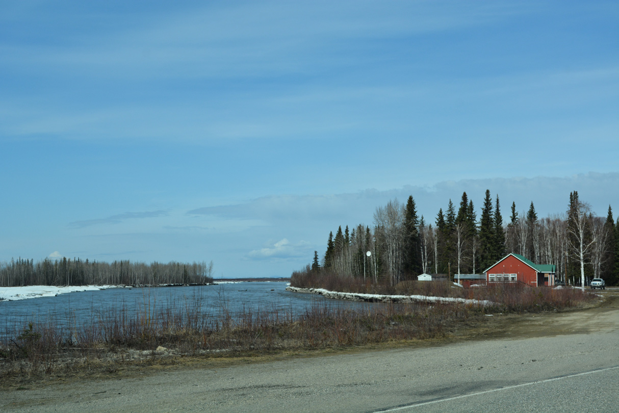
SR 2 runs alongside the Tanana River again ahead of Johnson Road east.
05/08/23
05/08/23

References:
- Tanana Pipeline Bridge. http://bridgehunter.com/ak/ southeast-fairbanks/alyeska-tanana BridgeHunter.com.
- Tanana River Bridge. http://bridgehunter.com/ak/ southeast-fairbanks/tanana-river/ BridgeHunter.com.
Photo Credits:
- Alex Nitzman: 05/08/23
Page Updated Wednesday June 14, 2023.