
State Route 5 - Taylor Highway
Following Taylor Highway, Alaska State Route 5 stems 157.17 miles north from SR 2 (Alaska Highway) at Tetlin Junction to Amundesen Street at Eighth Avenue in Eagle. SR 5 rises to over 3,500 feet above sea level along the west side of Mount Fairplay before paralleling Logging Cabin Creek northward to the West Fork river. Continuing from there, Taylor Highway passes well east of Taylor Mountain ahead of the unincorporated settlement of Chicken.
SR 5 navigates through a number of switch backs east from Chicken before accompanying Wade Creek northeast to Jack Wade. Taylor Highway next turns southward to Jack Wade Junction, where SR 5 intersects Top of the World Highway. Top of the World Highway meanders southeast 13.43 miles to the Canadian Border while Taylor Highway turns back to the north ahead of Steele Creek Dome.
The northernmost 63.60 miles of Taylor Highway traverse remote areas from Jack Wade Junction to the village of Eagle along the Yukon River. SR 5 concludes where Taylor Highway becomes Amundsen Street leading east into the Eagle street grid.
 North
North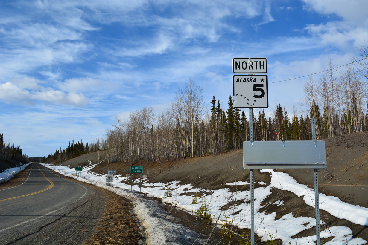
The first confirming marker for Alaska State Route 5 stands just north of SR 2 (Alaska Highway) at Tetlin Junction.
05/07/23

Top of the World Highway connects SR 5 (Taylor Highway) with Dawson City, Yukon. The Canadian port of entry is opened seasonally.
05/07/23
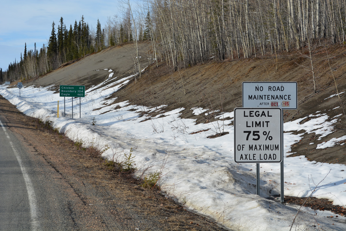
Taylor Highway is closed during winter as maintenance ends on October 15th.
05/07/23
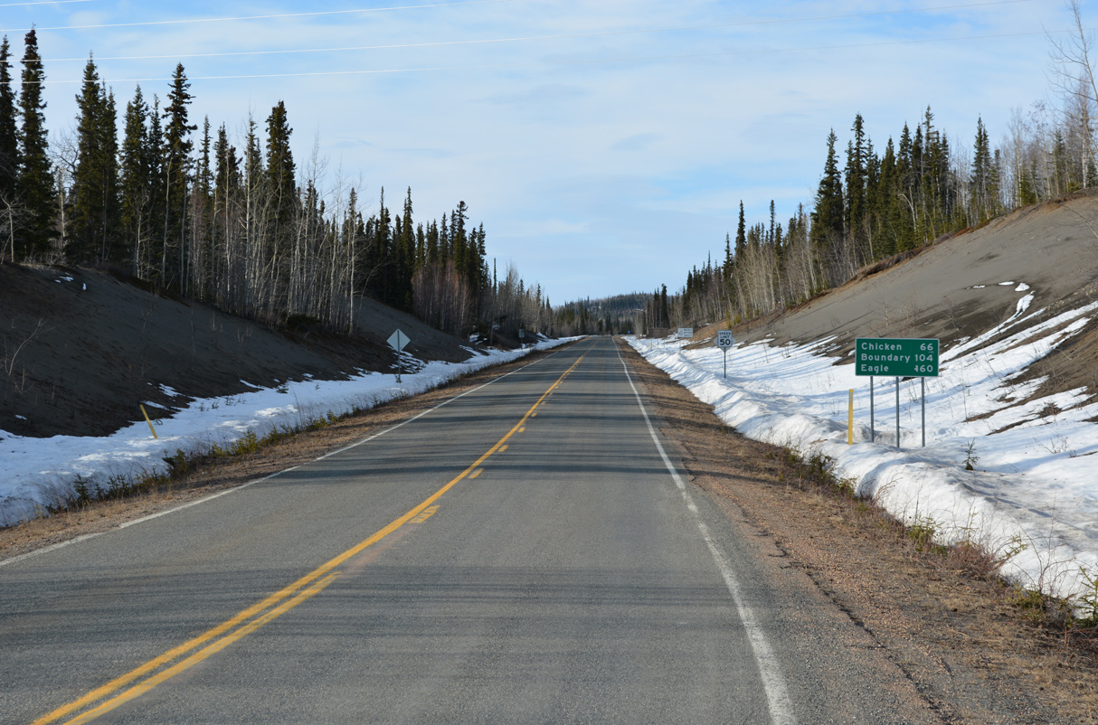
The unincorporated village of Chicken lies 65 miles northeast of SR 2 (Alaska Highway) along Taylor Highway. The international boundary with Canada is 107 miles away while Eagle is 156 miles to the north.
05/07/23
South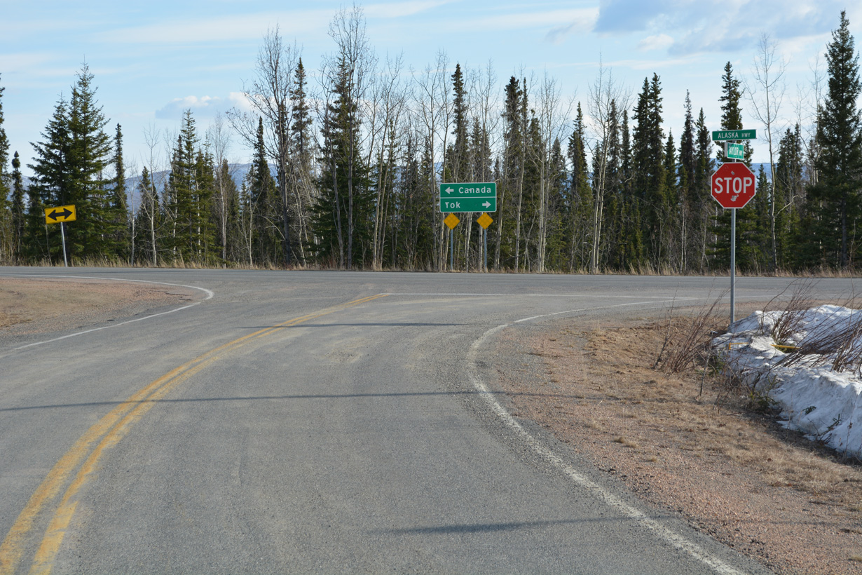
SR 5 (Taylor Highway) concludes at the rural intersection with SR 2 (Alaska Highway) at Tetlin Junction.
05/07/23
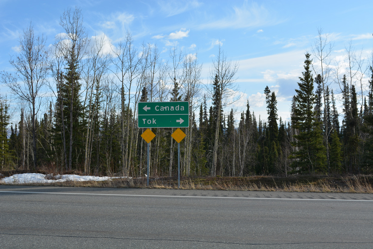
SR 2 (Alaska Highway) runs 12.4 miles west from SR 5 at Tetlin Junction to Tok. Alaska Highway enters Yukon, Canada 77.3 miles to the southeast from Alcan Border.
05/07/23
Photo Credits:
- Alex Nitzman: 05/07/23
Connect with:
Page Updated Tuesday June 13, 2023.