
State Route 7 - Ketchikan

 North
North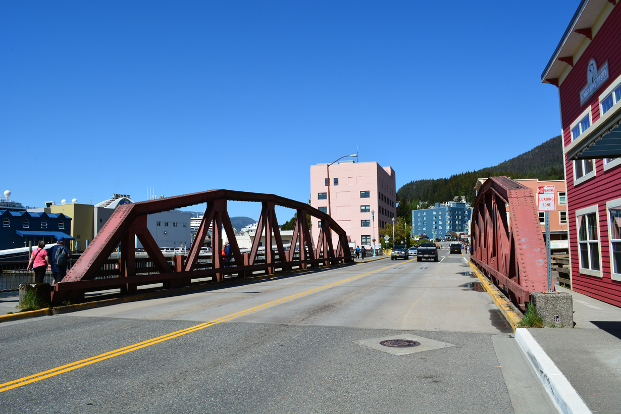
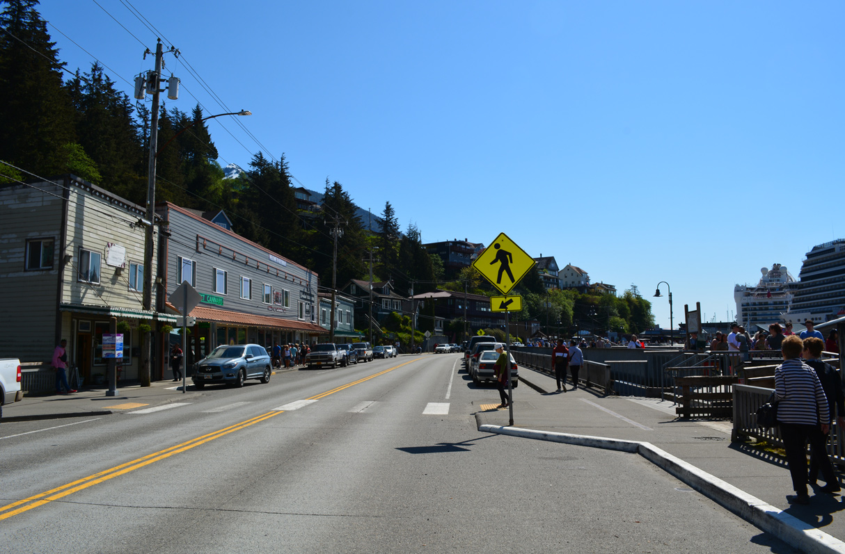
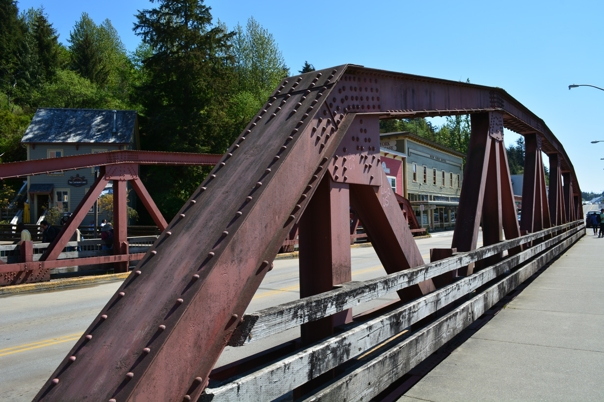
The Stedman Street bridge spanning Ketchican Creek was constructed from January 8 to October 25 in 1937.1
05/18/23
05/18/23
The pony truss bridge spanning Ketchikan Creek on SR 7 is 125 feet in length.2
05/18/23
05/18/23
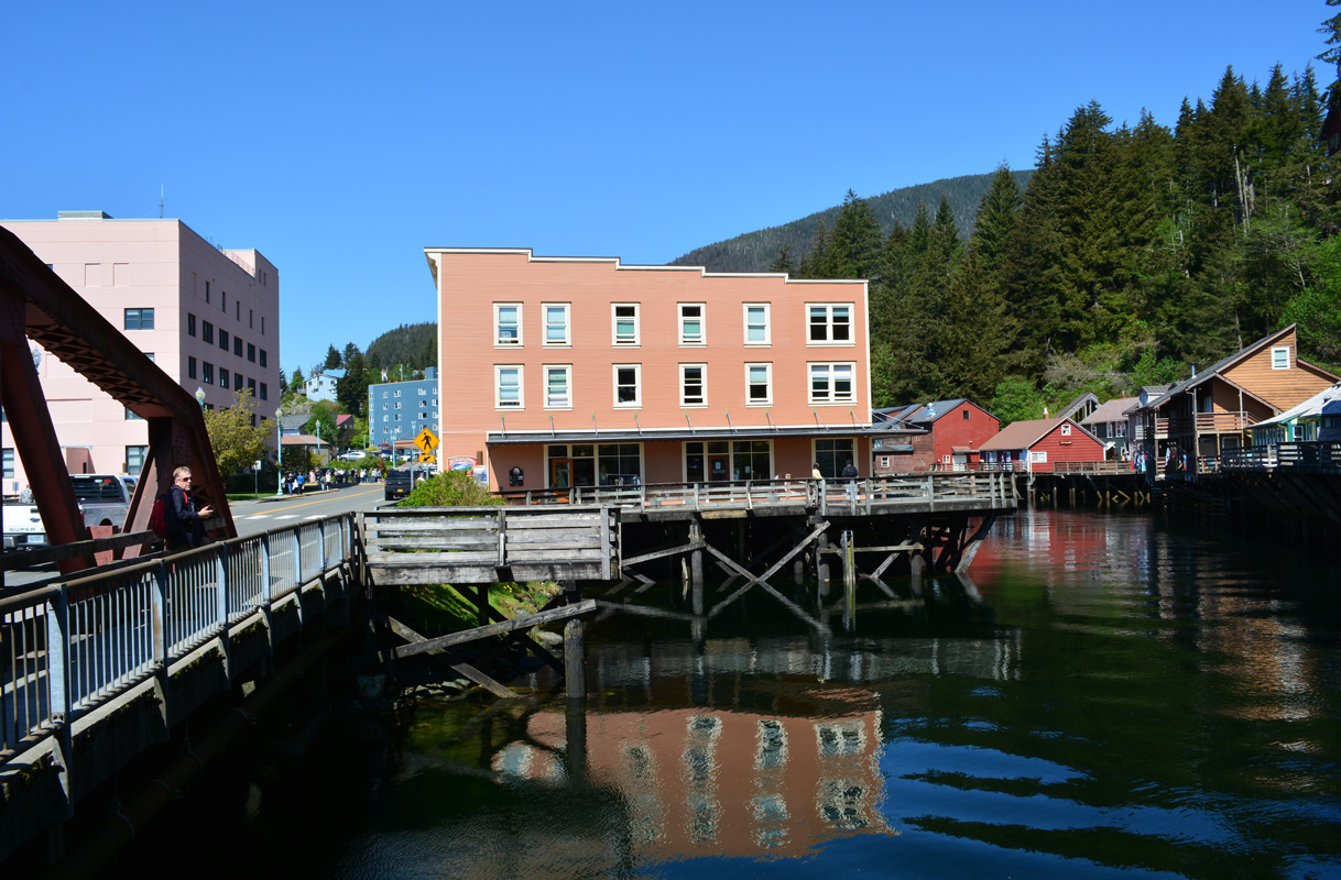
Historic Creek Street
05/18/23
05/18/23
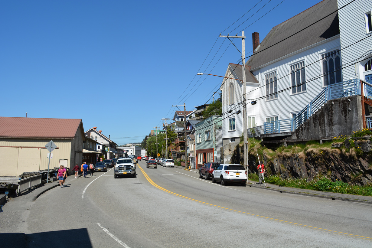
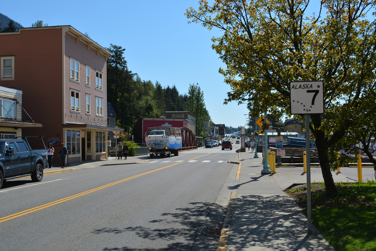
Reassurance markers for SR 7 stand along both sides of Stedman Street between Ketchikan Creek and Mill Street.
05/18/23
05/18/23
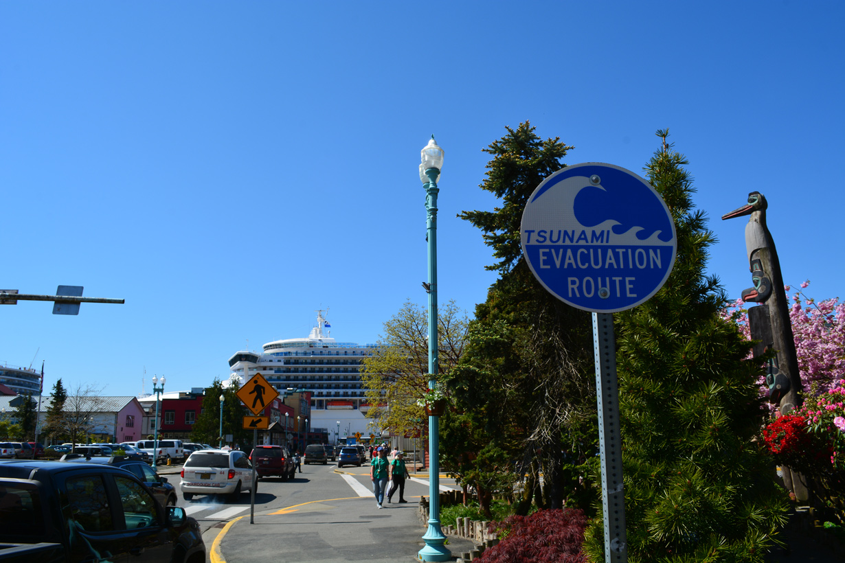
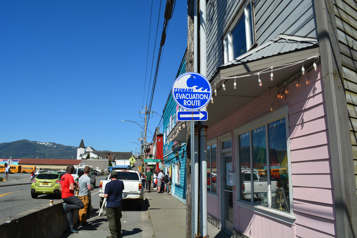
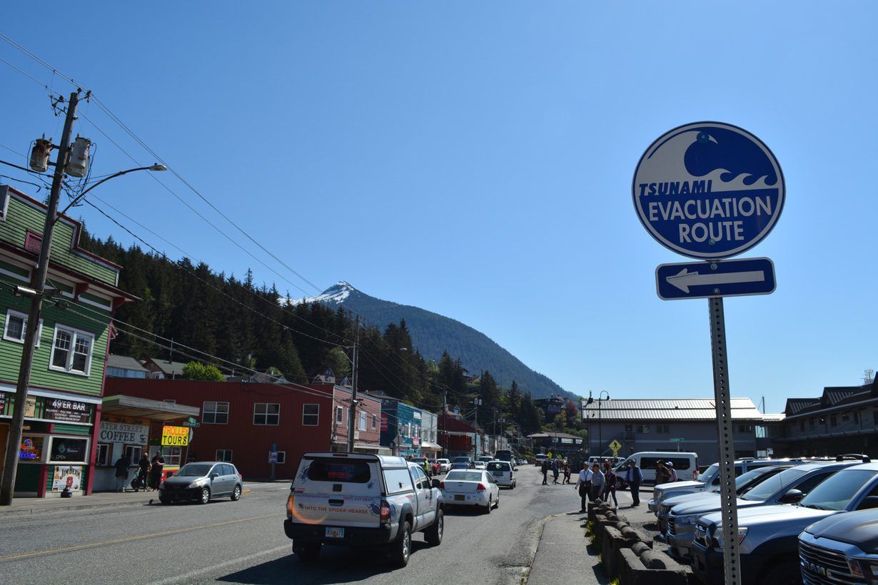
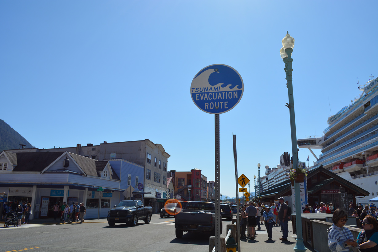
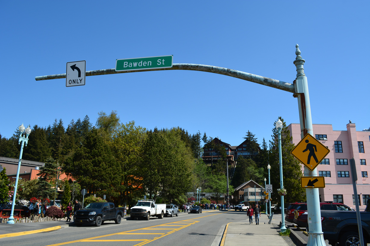
Tsunami evacuation route sign posted on Mill Street west at Bawden Street and Whale Park.
05/18/23
05/18/23
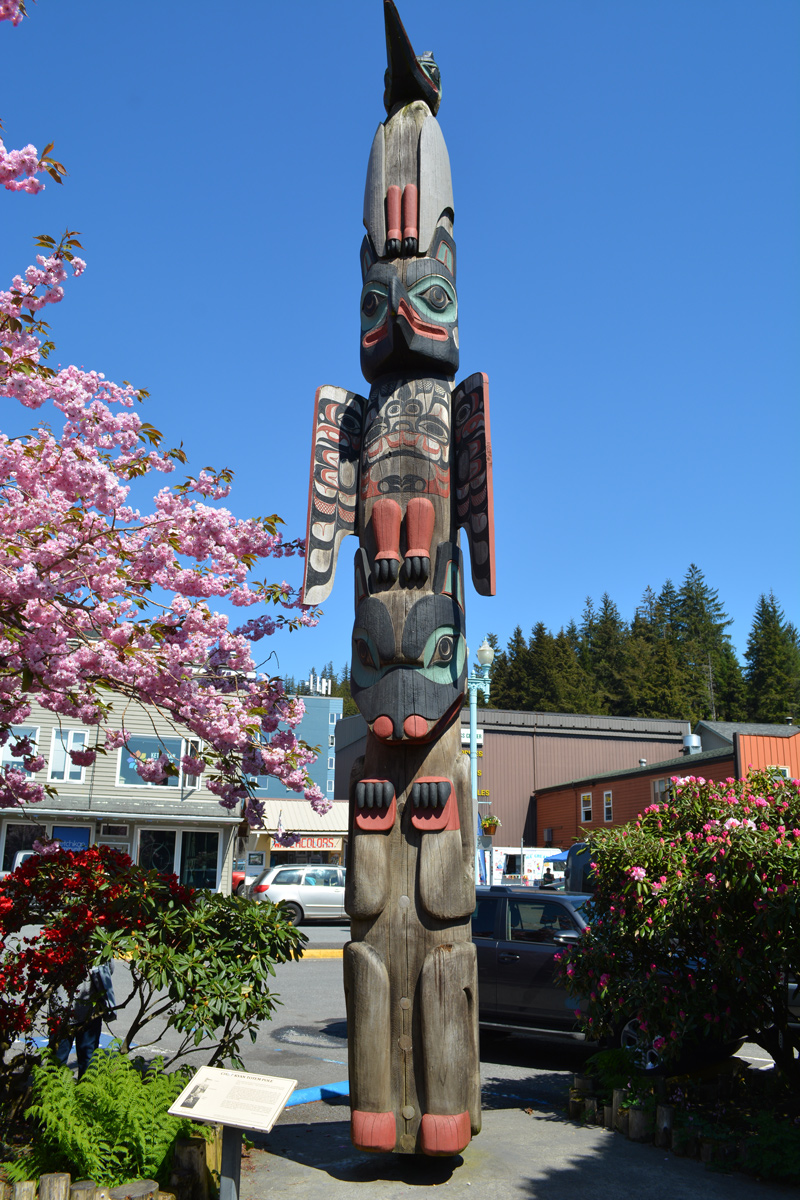
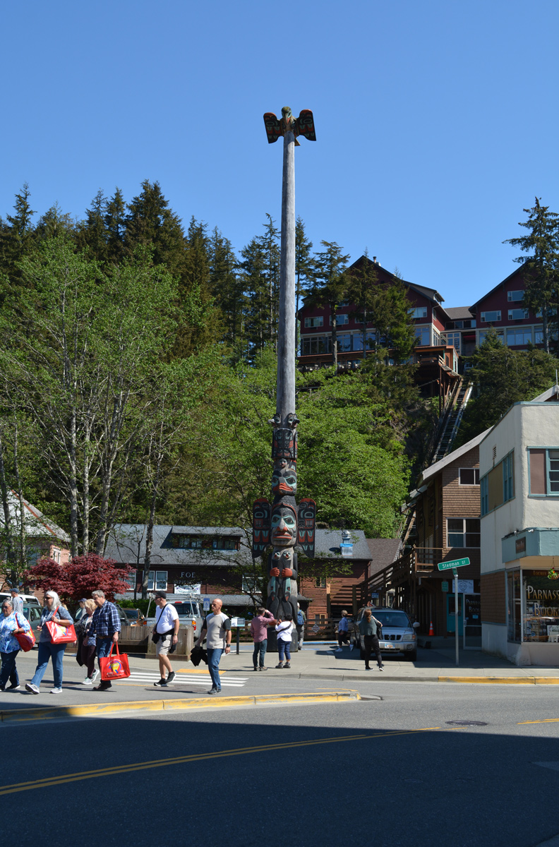
Chief Kyan Totem Pole at Whale Park.
05/18/23
05/18/23
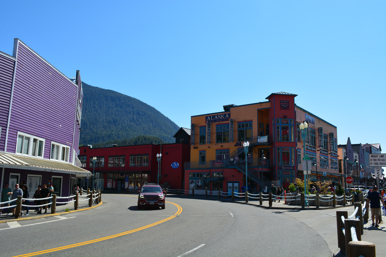
SR 7 follows Mill Street west from Stedman Street to Main Street at Downtown Ketchikan.
05/18/23
05/18/23
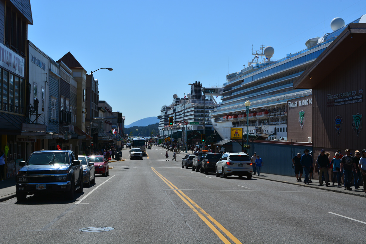
SR 7 curves northward from Mill Street onto Front Street by the Ketchikan Cruise Ship Docks.
05/18/23
05/18/23
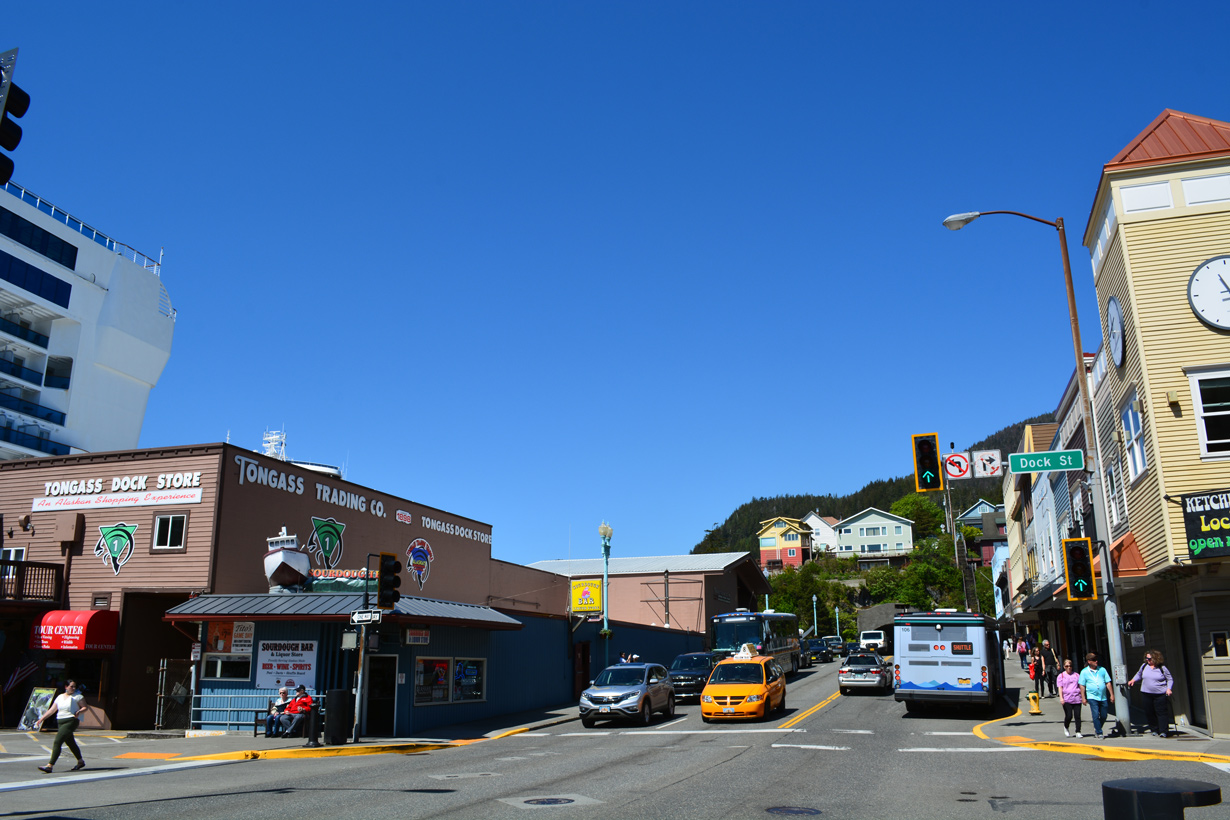
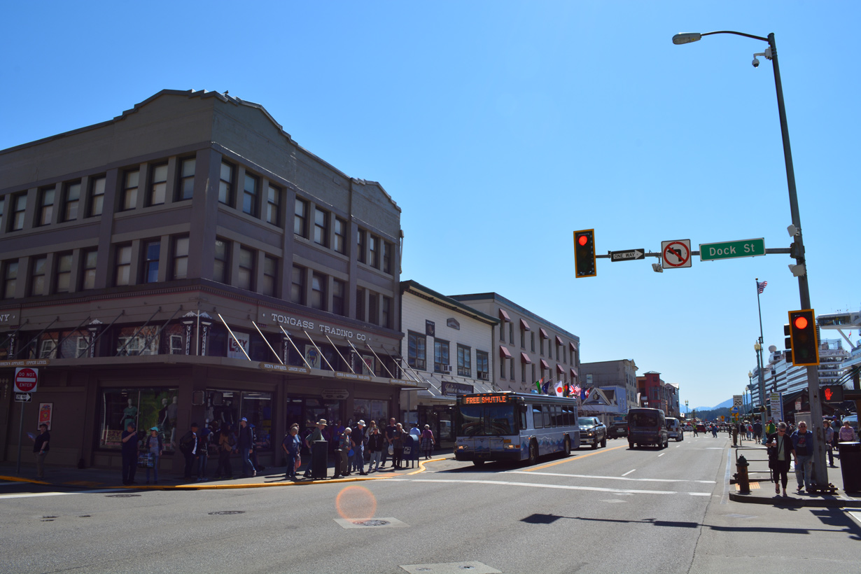
Front Street north at Dock Street.
05/18/23
05/18/23
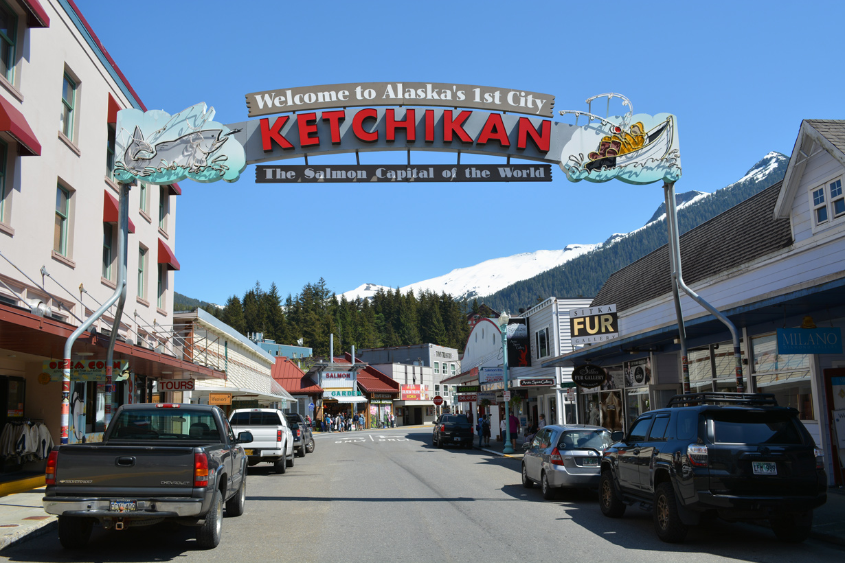
The Ketchikan Welcome Arch to Downtown spans Dock Street adjacent to SR 7 (Front Street).
05/18/23
05/18/23
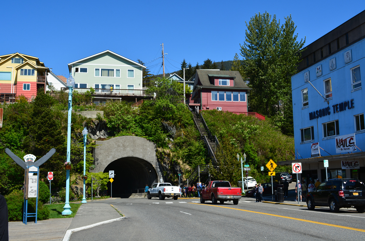
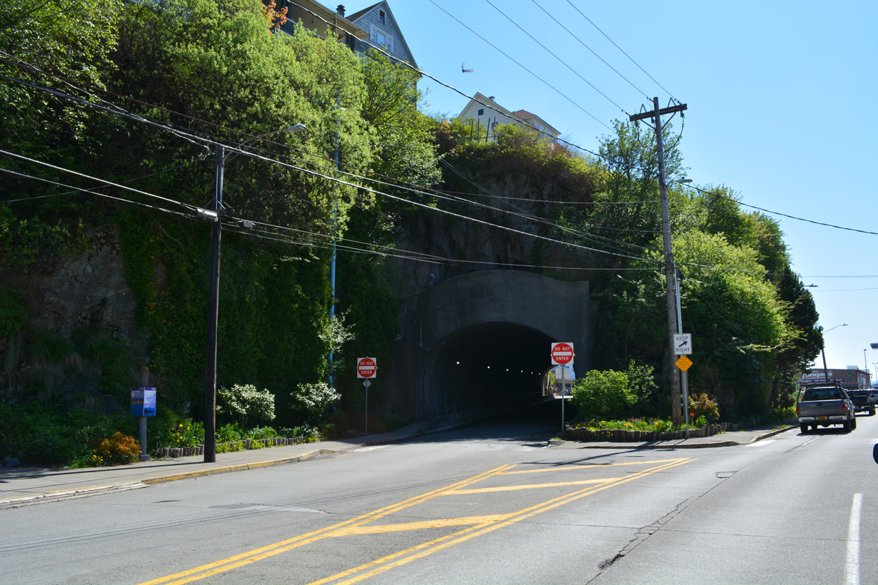
SR 7 partitions into a couplet along Water Street at Grant Street. Northbound traffic passes through a tunnel while southbound circumvents the hillside.
05/18/23
05/18/23
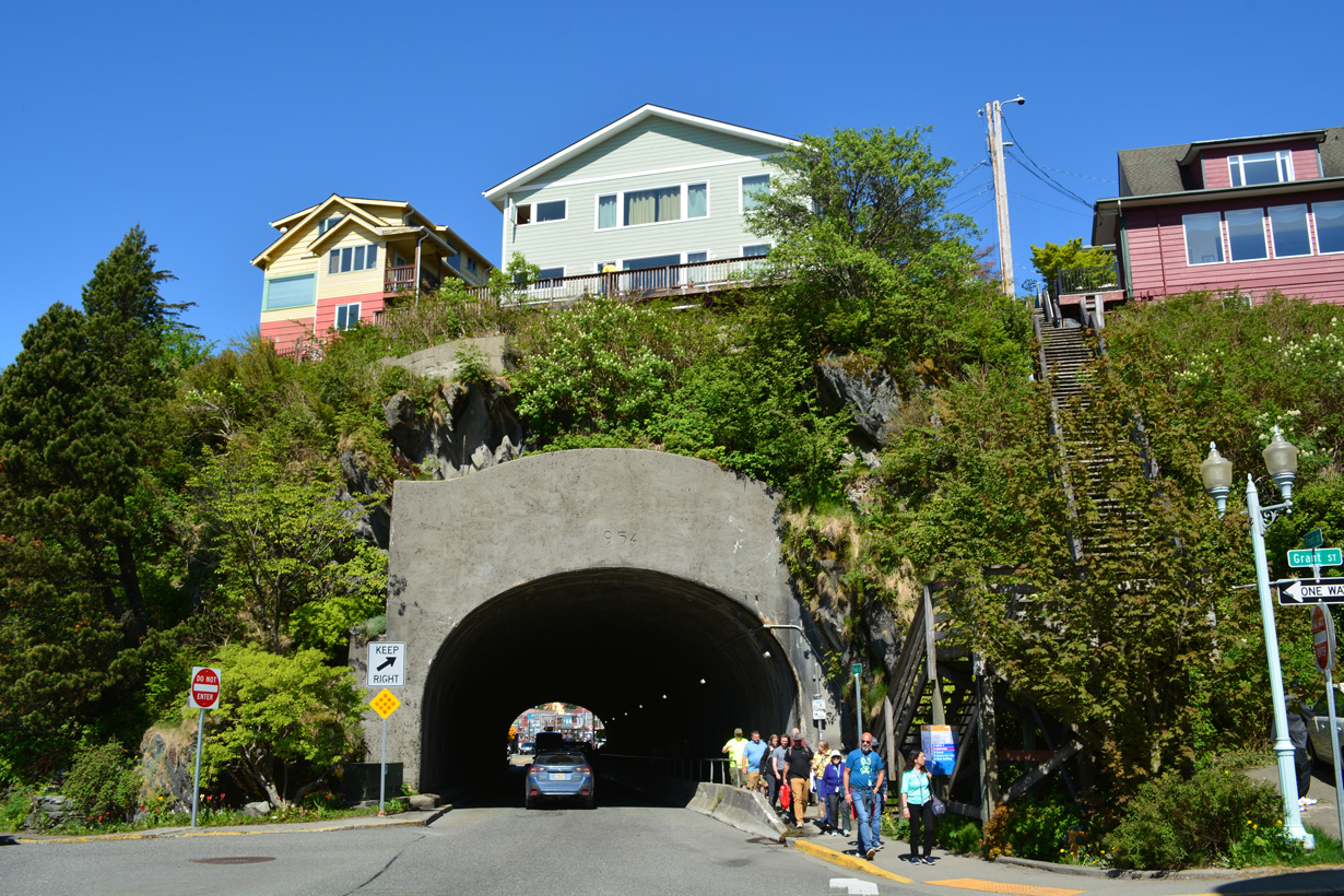
Measuring 274.9 feet in length, the tunnel along Water Street northbound was built in 1954.3
05/18/23
05/18/23
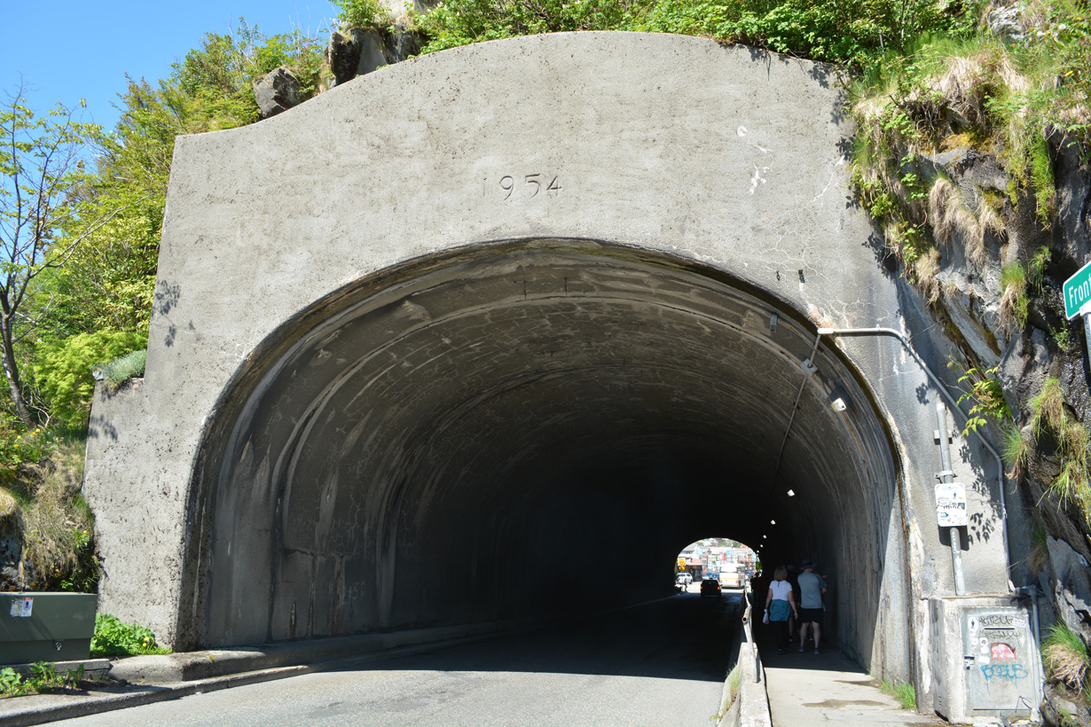
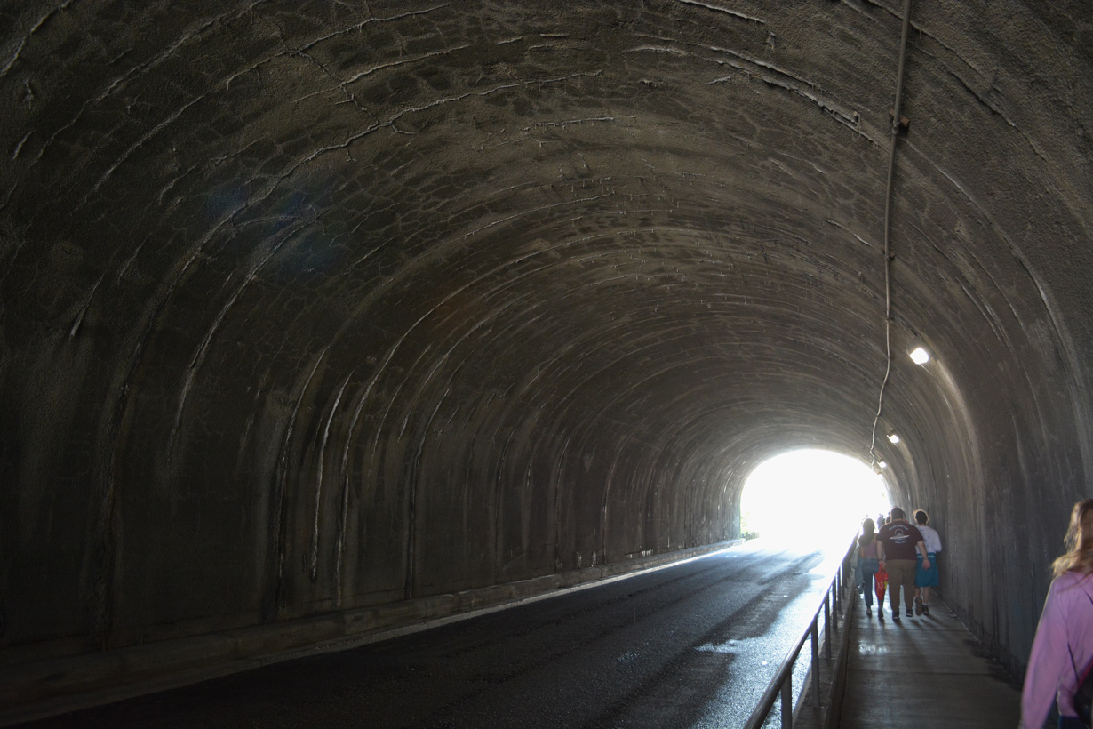
A pedestrian walkway accompanies a single lane of traffic along SR 7 through the Water Street Tunnel.
05/18/23
05/18/23
05/18/23
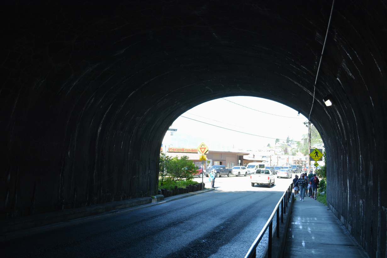
Exiting the tunnel, SR 7 resumes with two-way traffic along Water Street.
05/18/23
05/18/23
05/18/23
05/18/23
Comprising a tsunami evacuation route, Schoenbar Road ascends from Water Street toward Level Mountain.
05/18/23
05/18/23
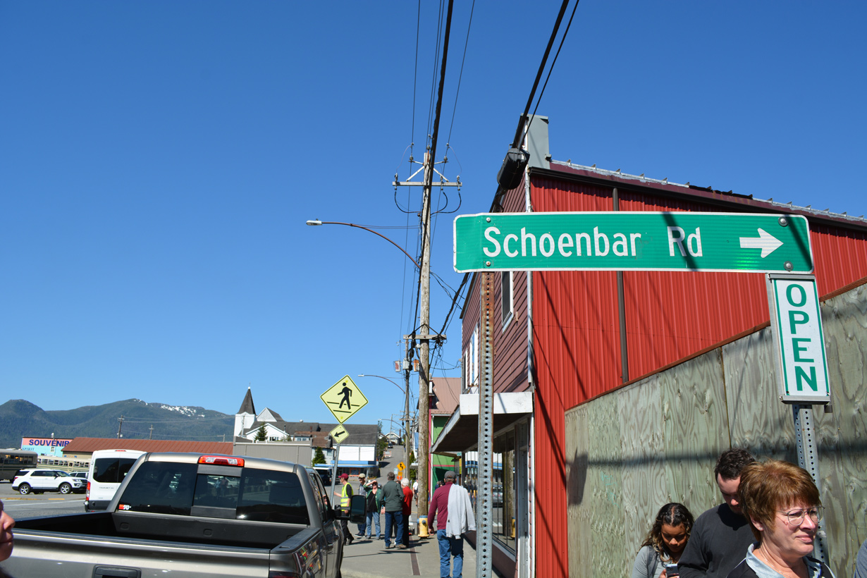
Schoenbar Road loops 1.14 miles east from SR 7 (Water Street) to Park Avenue.
05/18/23
05/18/23
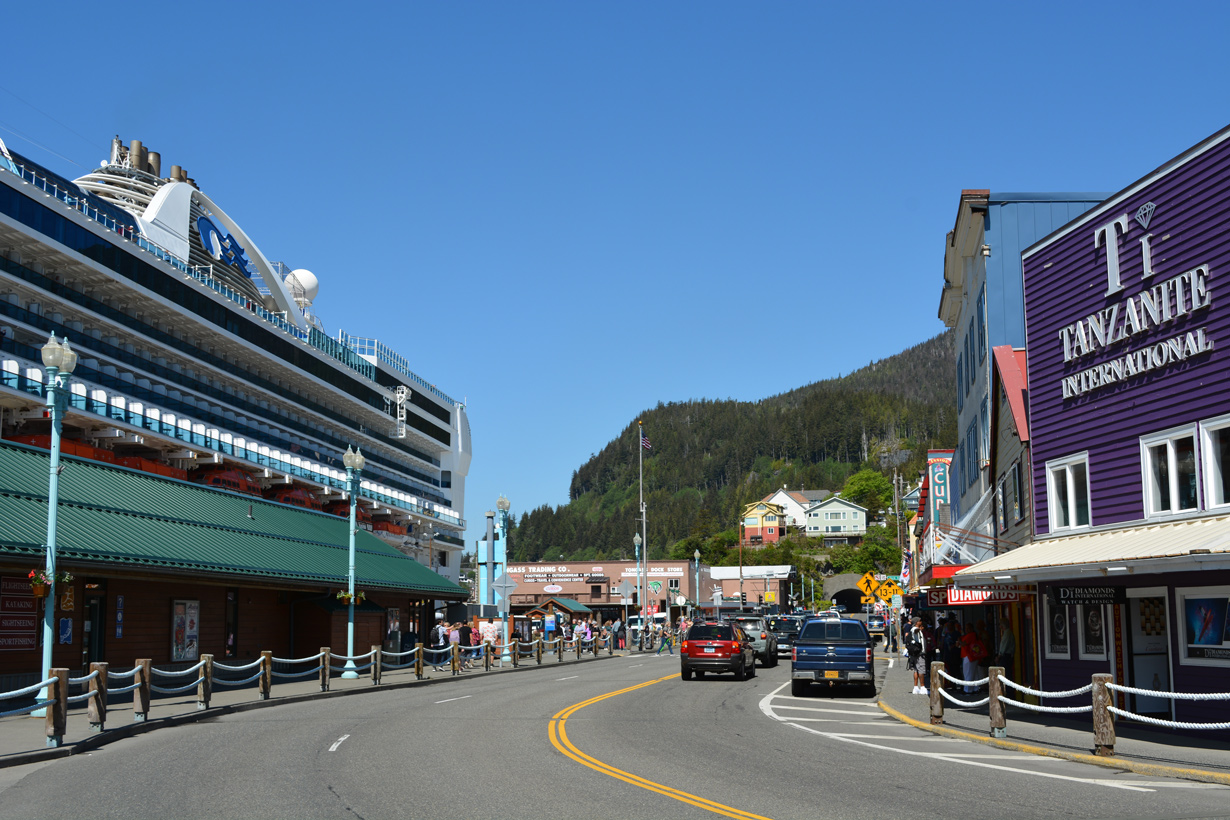
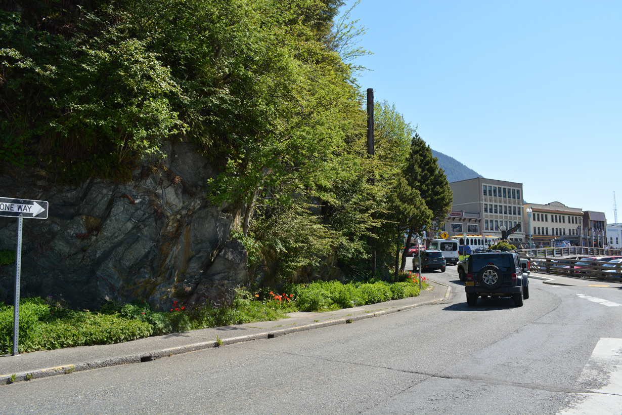
Continuing along the Ketchikan waterfront, SR 7 shifts off of Water Street onto Tongass Avenue.
05/18/23
05/18/23
05/18/23
South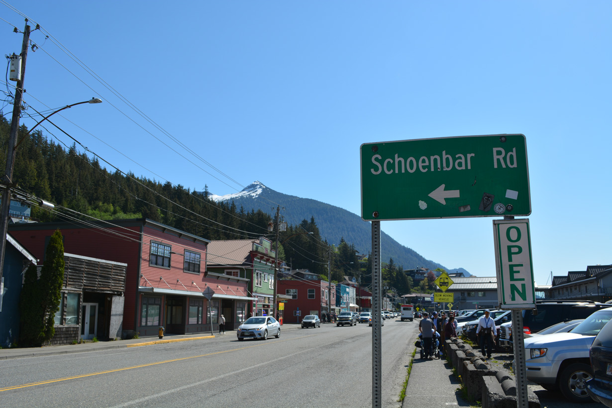
SR 7 (Tongass Road) south at Schoenbar Road in Ketchikan.
05/18/23
05/18/23
Part of a tsunami evacuation route, Schoenbar Road, loops north to 3rd Avenue and east to Park Avenue.
05/18/23
05/18/23
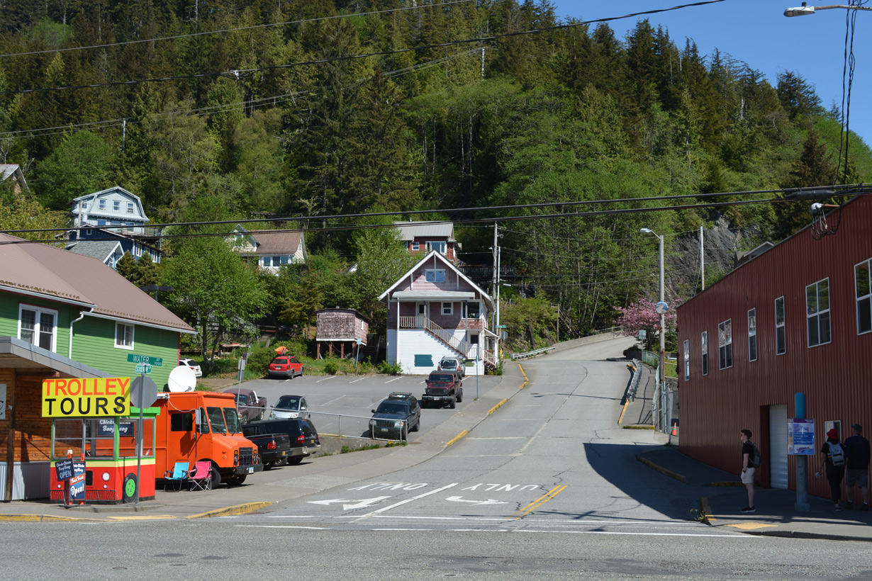
Schoenbar Road ascends from SR 7 (Water Street) to Dunton Street.
05/18/23
05/18/23
05/18/23
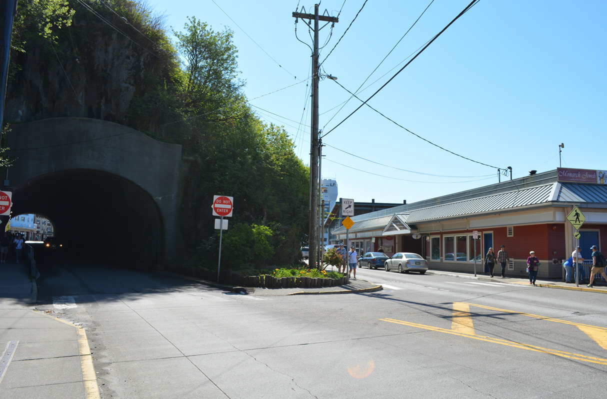
SR 7 partitions into a couplet at Hopkins Alley with southbound remaining on Water Street and northbound passing through the Water Street Tunnel.
05/18/23
05/18/23
SR 7 southbound on Water Street curves around a hill to intersect Front Street across from Grant Street.
05/18/23
05/18/23
SR 7 makes an unmarked turn onto Front Street to Downtown Ketchikan.
05/18/23
05/18/23
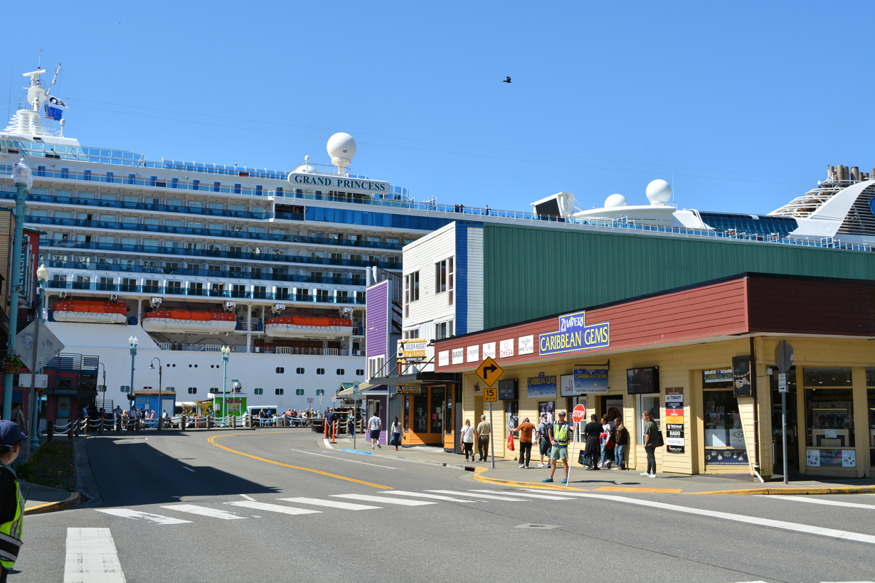
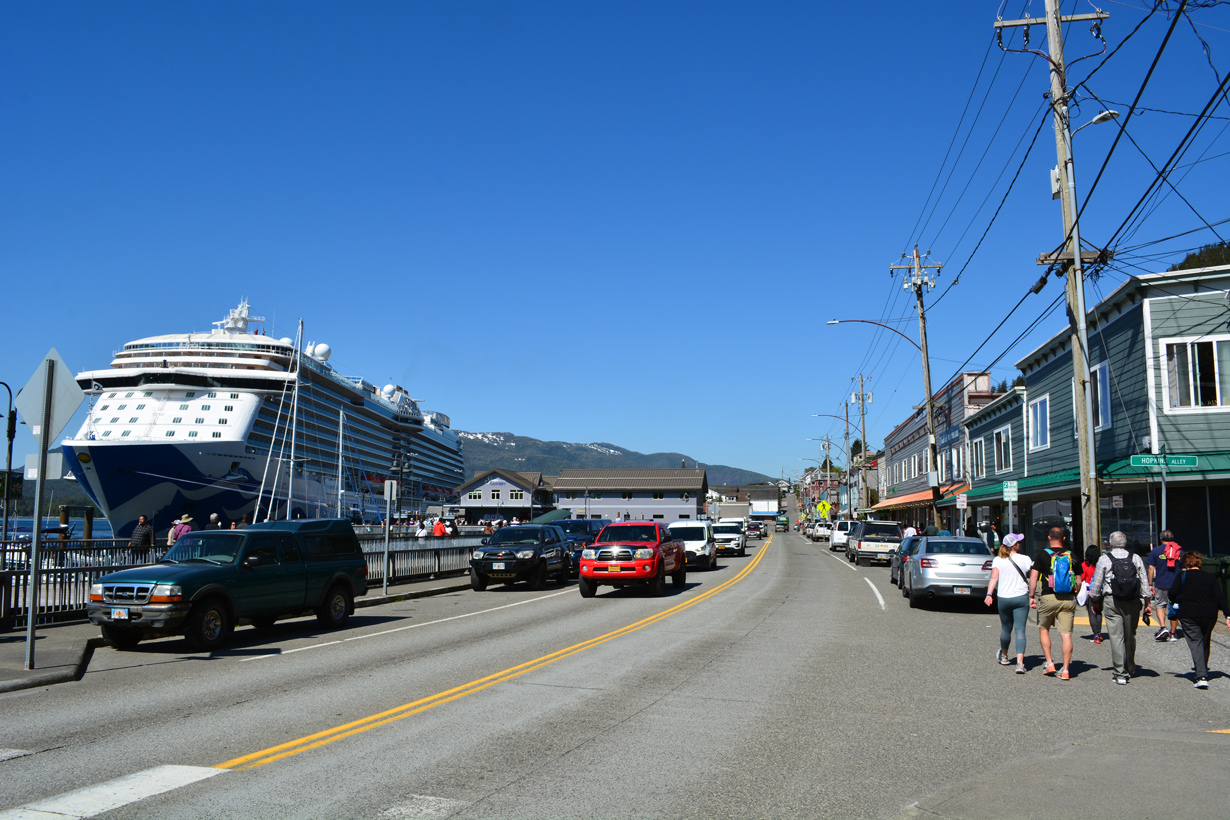
Front Street runs between Downtown Ketchikan and the Ketchikan Cruise Ship Docks.
05/18/23
05/18/23
Traffic lights operate at Front and Dock Streets in Downtown Ketchikan.
05/18/23
05/18/23
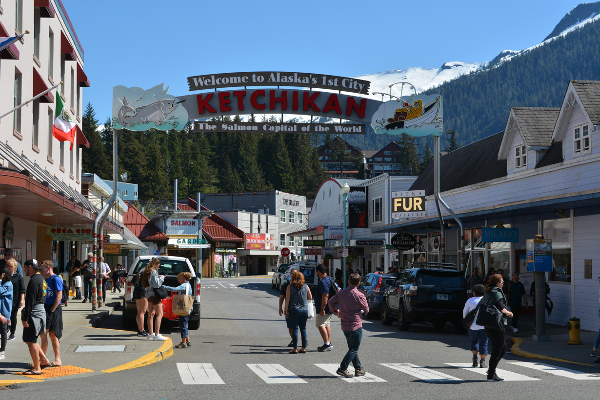
The Ketchikan Welcome Arch at Dock Street.
05/18/23
05/18/23
05/18/23
SR 7 shifts east onto Mill Street from Front Street south.
05/18/23
05/18/23
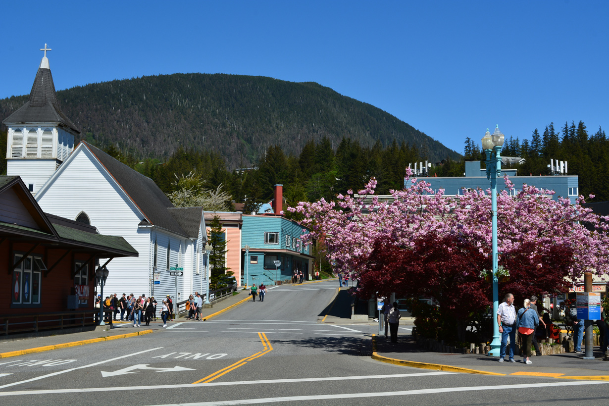
Mill Street at Bawden Street and Whale Park.
05/18/23
05/18/23
Bawden Street north of SR 7 (Mill Street).
05/18/23
05/18/23
Mill Street leads SR 7 east to Stedman Street south, where the Chief Johnson Totem Pole stands.
05/18/23
05/18/23
SR 7 reassurance marker posted along Stedman Street south ahead of Ketchikan Creek.
05/18/23
05/18/23
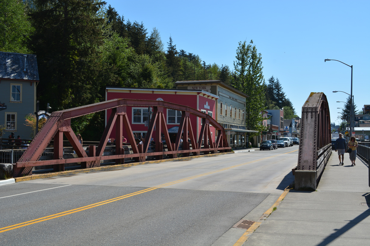
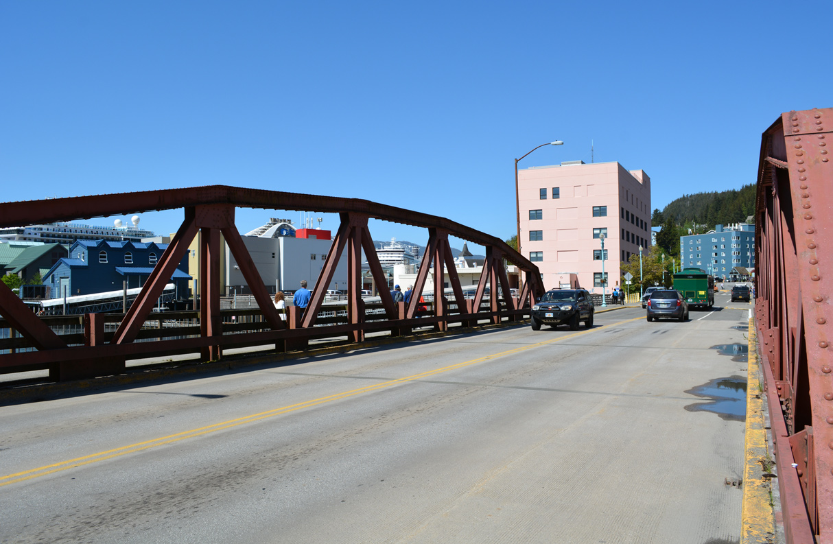
SR 7 (Stedman Street) spans Ketchikan Creek across a pony truss bridge built in 1937.1
05/18/23
05/18/23
05/18/23

05/18/23
References:
- Infrastructure Improvements - Ketchikan AK - Living New Deal.
- Ketchikan Creek Bridge. http://bridgehunter.com/ak/ketchikan-gateway/724/ BridgeHunter.com.
- Water Street Tunnel. https://bridgehunter.com/ak/ketchikan-gateway/1130/ BridgeHunter.com.
Photo Credits:
- Alex Nitzman: 05/18/23
Page Updated Friday May 26, 2023.